|
Early Stargazer Rock Campouts |
|
| Photos Related Links More Travel Reports | |
|
I started doing regular reports on our more or less annual visits to Stargazer Rock with the 2005 adventure. I had some notes in my journal about earlier trips, including the very first one, and I've been wanting to put them into a standard format for some time. Finally, this is it. The style is not quite the same as my "official" reports, since it was written as it happened for a personal journal. |
|
| First Visit - 2000 First Long Campout - 2000 Extended Family Camp - 2002 Solo Camp - 2002 | |
|
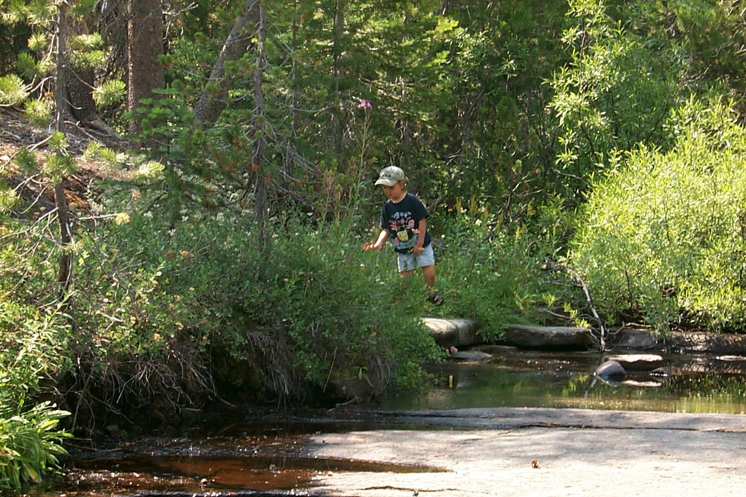
First Visit - 2000 I did not take my trailer on this trip, which included my daughter Teri, her husband Tim, and younger grandson Mikie. They slept in a tent, and I slept in the back of my 1990 F150, which had camper shell. From
the Journal, July 17, 2000: We had a great time camping. We were at a very nice spot at around
7,000 feet on a road that leaves Highway 168 above A Note About Road Names: The Rock Creek Road goes about six miles north from Dinkey Creek Road, to a T intersection. Back in the beginning I thought that was the end of Rock Creek, but actually the section that goes to the left (west) out to Highway 168 is still part of the Rock Creek Road. The road to the east goes to the Dinkey Lakes Trailhead. |
|
 |
 |
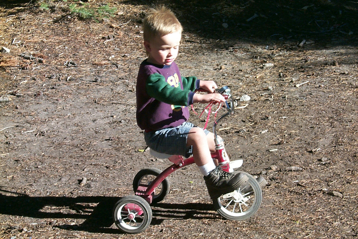
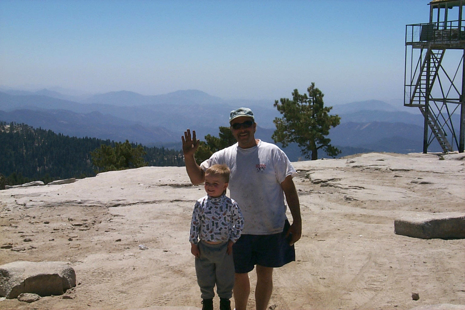
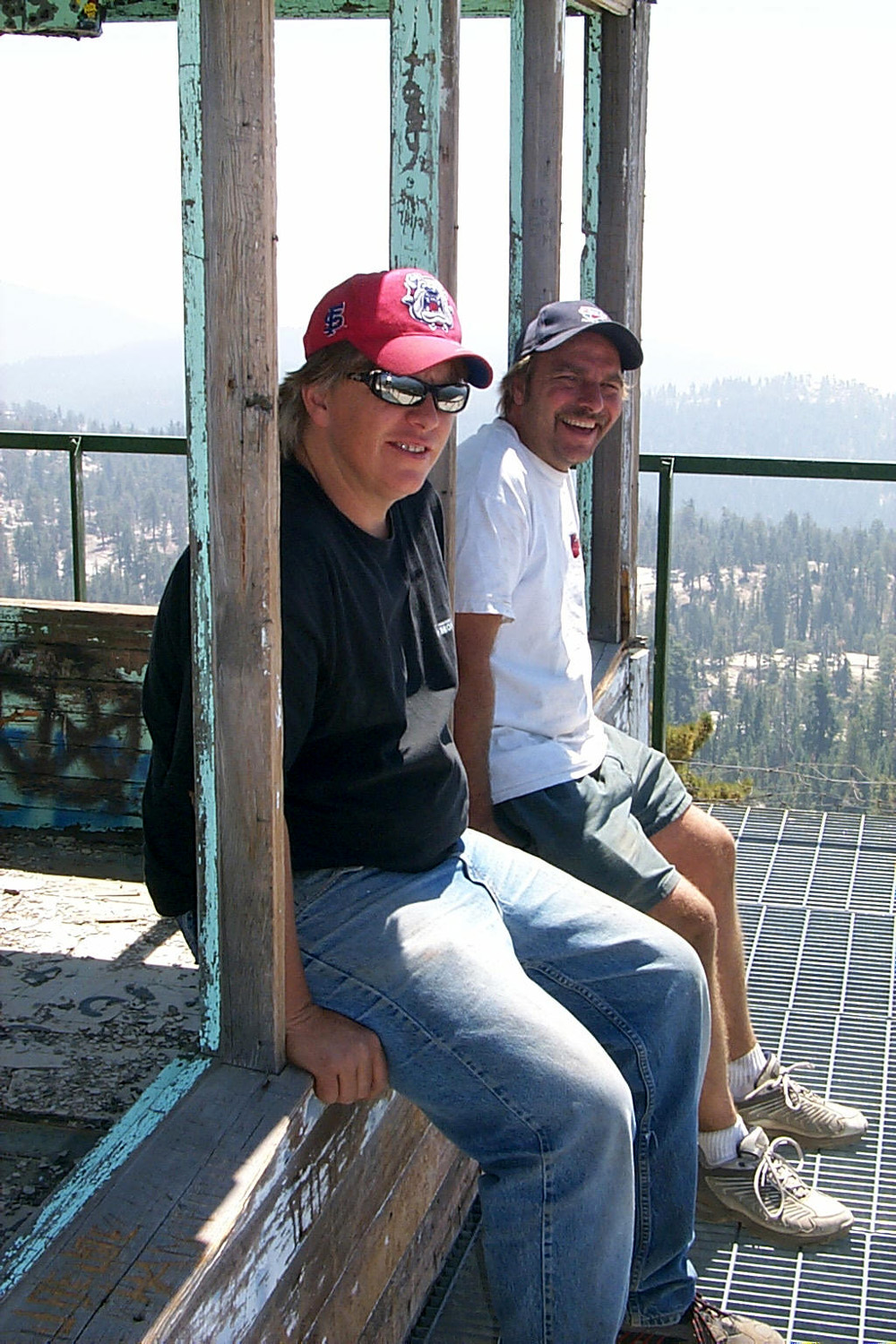
| Mikie at the old fire lookout on Bald Mountain | Tim, Teri & Mikie on Bald Mountain |
 |
 |
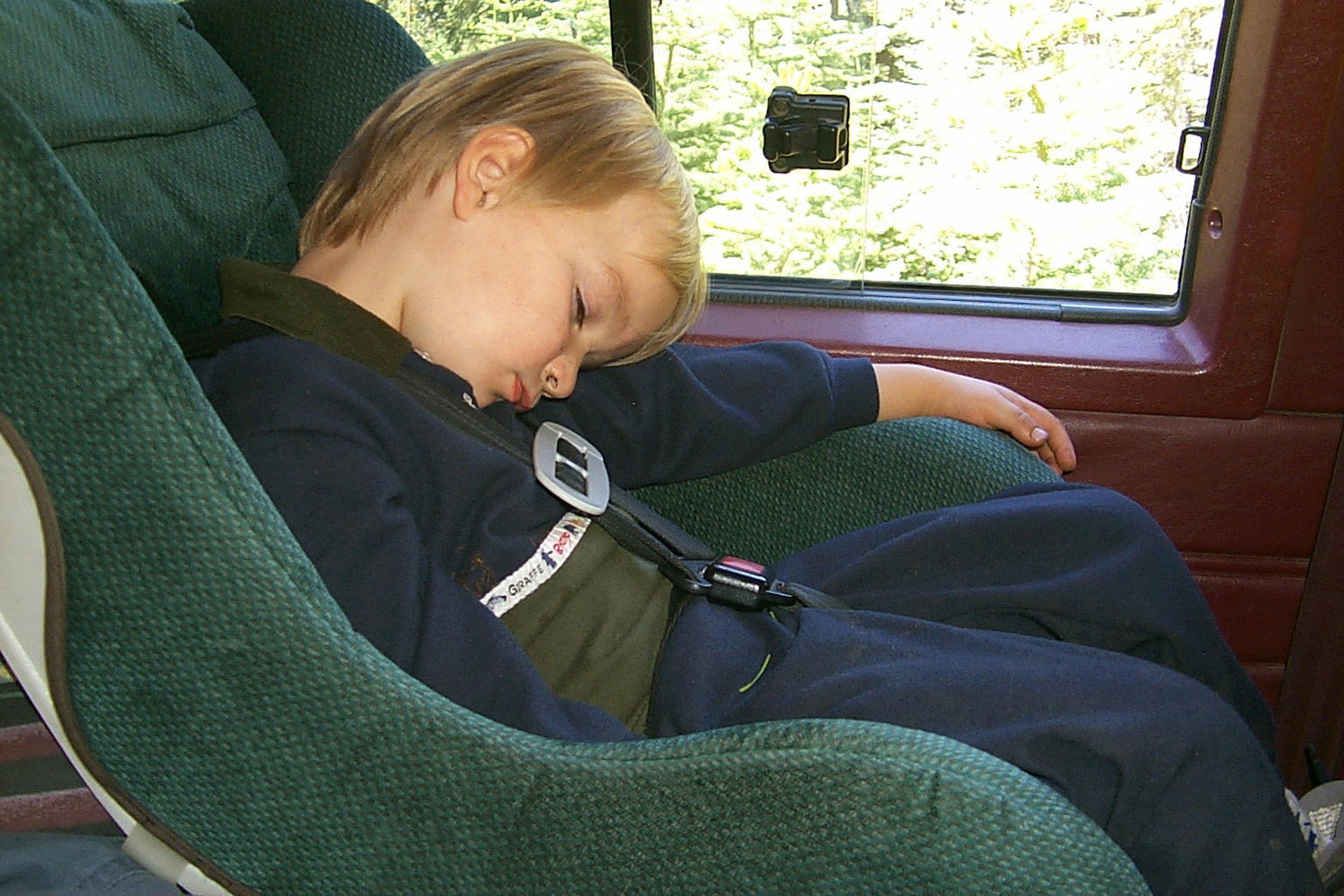
| Time for a long nap | Marshmallow roasting time |
|
First Long Campout - 2000 Less than a month later I returned to the area with my trailer, this time driving my brand new 2001 red F-150, which I still use for truck camping. August 14, 2000: My week long camping trip starts tomorrow. I have most everything ready, but have to run a couple of errands today and finish packing. There is a fire near Auberry which has closed Highway 168 between Prather and Cressman’s. If it’s not open I will have to go up old Tollhouse Road. That is a very winding road, so I hope the four-lane will be open by tomorrow. August 24, 2000 : I had a great time camping. I had to go up Auberry Road, since they were still dropping retardant near the four-lane section on Highway168. This is a better route than Tollhouse, and quite scenic in places. We were at the spot that
we eventually
named Stargazer Rock, one mile west of where the Rock Creek Road
from Dinkey Creek Road turns sharply west and goes out to Highway 168
(a turn to the east takes you to the Dinkey
Thursday
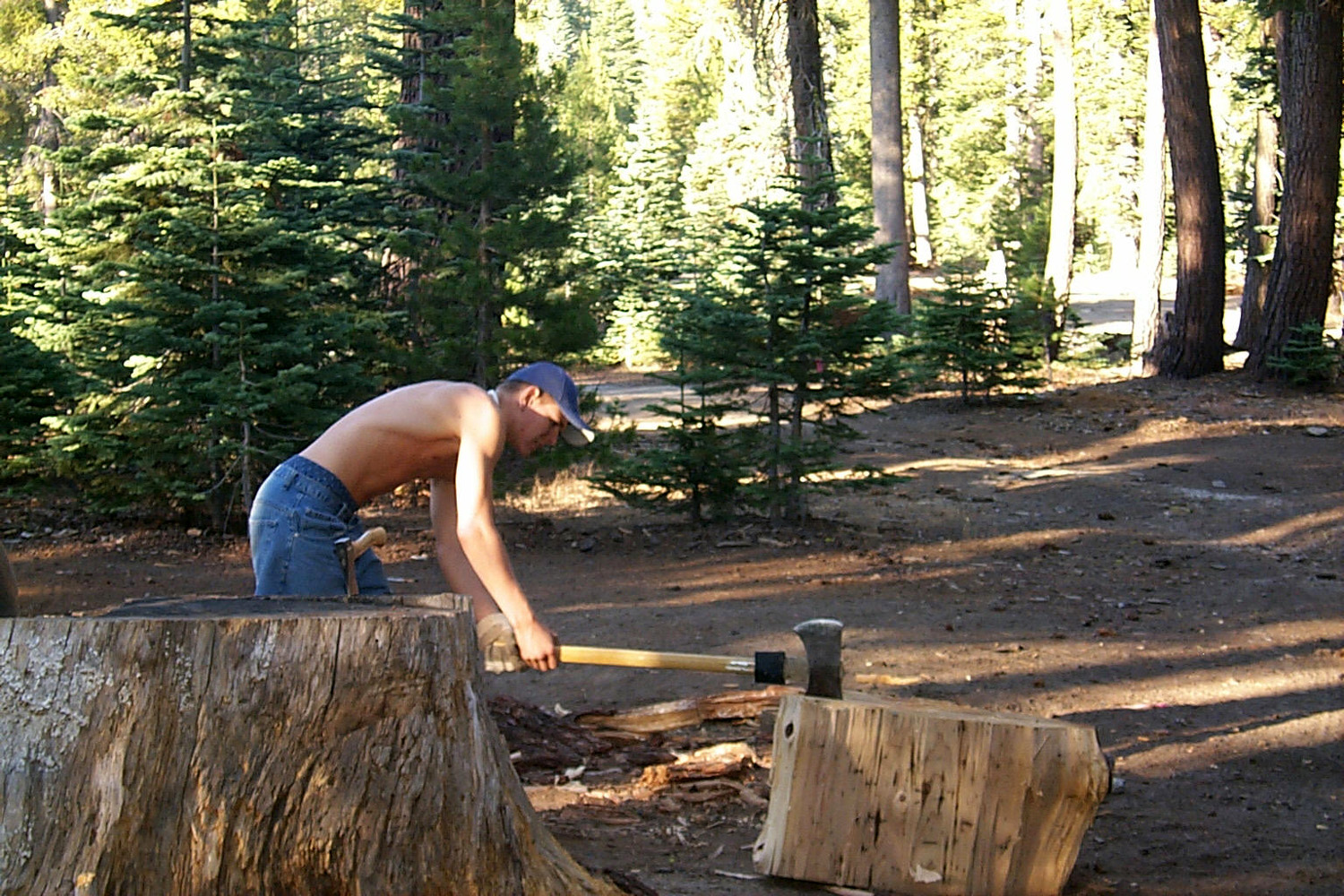
was Johnny's sixteenth birthday, which he celebrated by splitting a
big pile of firewood. Then Teri, Johnny, Mikie and I went to Kaiser
Pass, and up to White Bark
Vista, the start of the Dusy/Ersham
trail which comes out at Courtright. Next we drove up to Florence
Lake, which is 20 miles above Huntington, but on a
narrow paved road that is one way a lot of the way,
winding and slow all the way. It takes about an hour or more to go the
20 miles. Johnny drove all the way |
|
 |
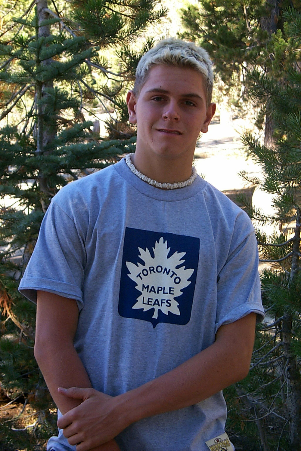 |
| Master woodsman at work | His 16th birthday portrait |
 |
 |
| He tried to make a solo ride down to the creek | Mikie, Teri, Dick and Johnny at White Bark Vista above Kaiser Pass |
|
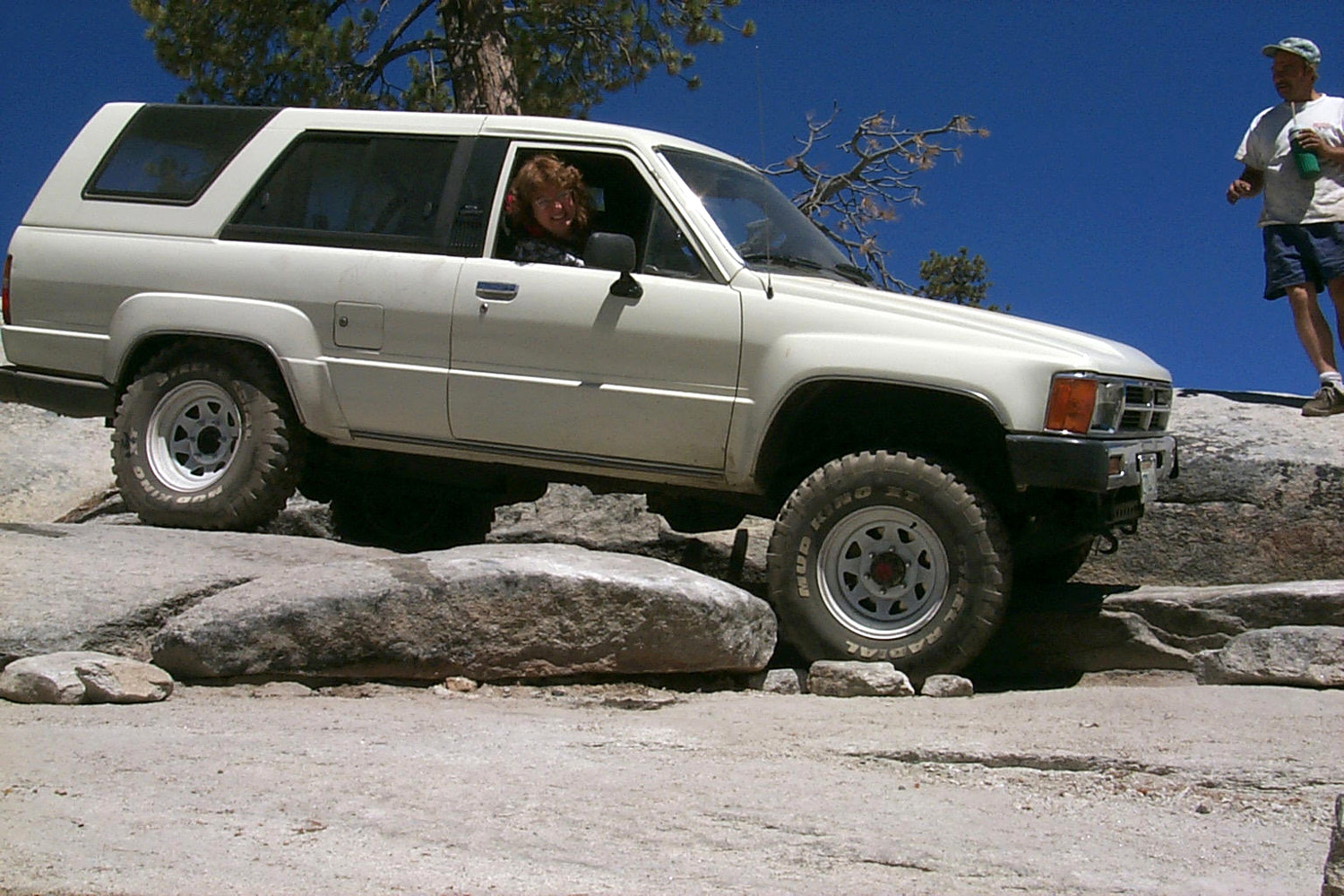
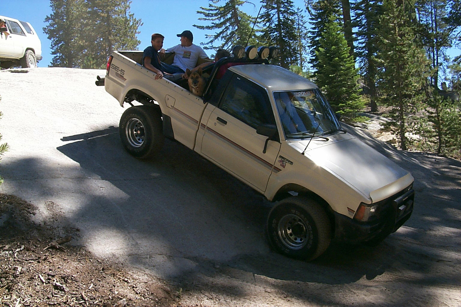
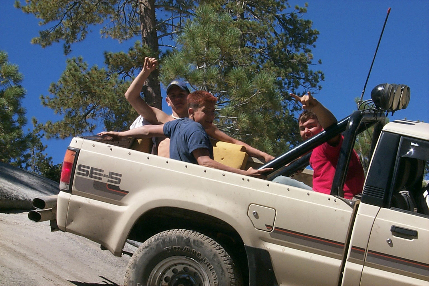
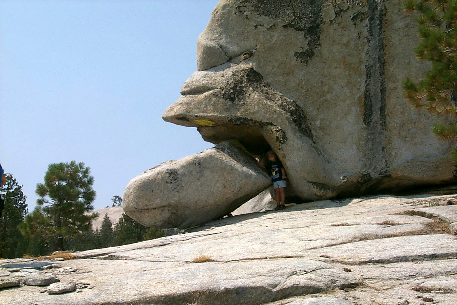
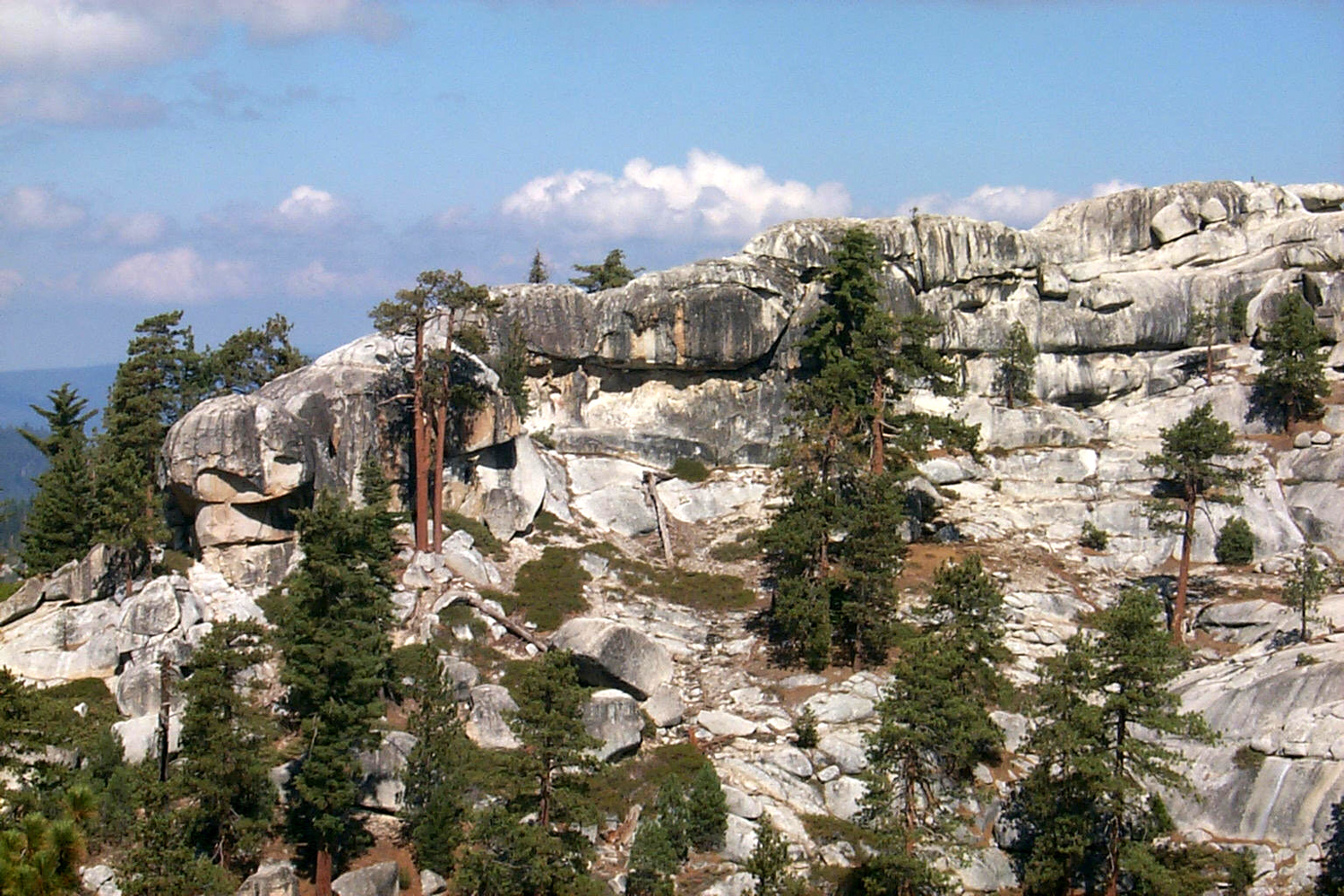
We had some great four-wheel drive trips, up to
the top of Bald
|
|
 |
 |
| Mikie and Cousin Kenny | Moses, Dustin, Tim, Johnny and Teri on Bald Mountain |
|
|
| Not going anywhere, just testing the capability of the vehicle | A thrill ride for Johnny, Moses and Dustin |
|
With a good size group, and a great time had by all, we agreed that this should become an annual event. |
|
|
Extended Family Camp - 2002
August 23, 2002
: Last week (8/12 through 19) was the 3rd Annual
Stargazer Rock Campout. I left on Monday,
August 12, with Teri and Mikie planning to come up on Wednesday.
Odometer read 26,006, temperature 89 degrees, time A few temperatures: 82 to 84 high most days; 50 to 52 low most days.
The last night (Sunday) it was 42. Temperatures in Fresno
were well above 100, so we escaped the worst of it. I set my alarm to get up at Teri and Mikie arrived early, about noon on Tuesday. We didn’t do a lot that day; walked around the camp area, drove down the road for a load of wood, and read. On Wednesday we made a trip to Wishon Domes, a spot I have not been to for about 15 years. From the road between Dinkey Creek and Wishon, a rough paved road goes south to Sawmill Flat Campground, and on to Black Rock Reservoir. Just past Sawmill Flat a road goes to the left (more or less north).
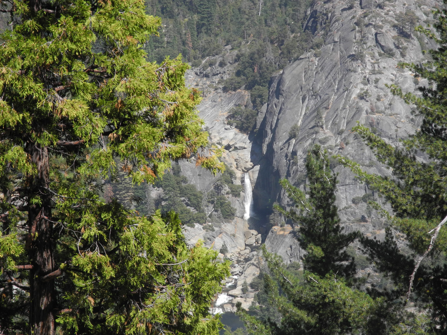
But first we kept on going on the Black Rock Road about a half mile,
where there is a vista point looking down into Granite Gorge and
Hell Hole, on the Kings River North Fork below Wishon Dam. There is
a nice waterfall and a large pool down there. I have backpacked into
there, but there is no trail; I just found my way down and up the
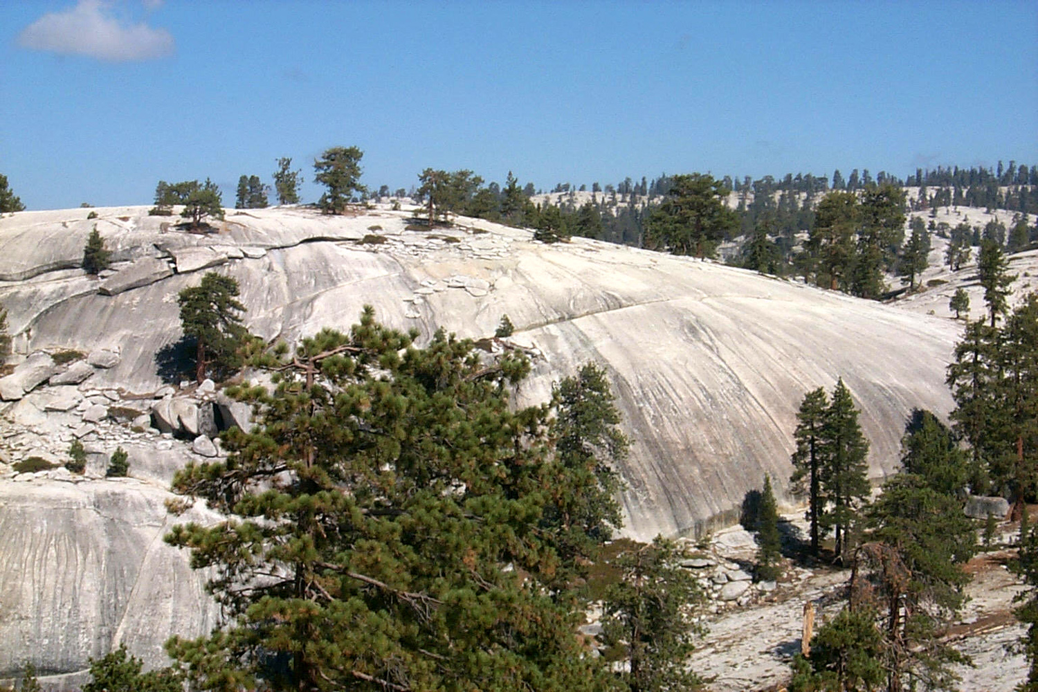
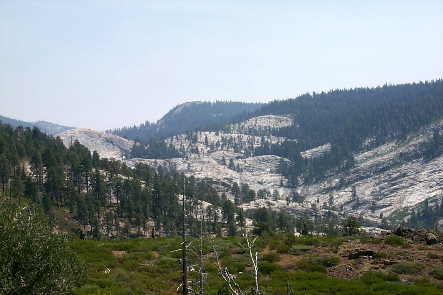
rather steep canyon side. Then we went back and took the Wishon Domes road. I gave the area
this name because a lot of the country is open, rounded granite –
not a classic dome like North Dome in Yosemite, but more like domes in progress. But before you get there, there
is a road to the right (more or less south), that winds down to a
spot where they dumped rock from a hydroelectric project tunnel.
There is a cleanout tunnel (adit) that is fenced off. Walking up to
it, we were talking, and I thought I heard voices coming from the
tunnel. As we got to the fence, we realized it was an echo, and we
then made all the necessary types of noises that must be made when
you find a good echo spot. Mikie especially enjoyed making loud
dinosaur roars. After exploring this area, we continued on to Wishon Domes. The road is decidedly 4-wheel drive only, although I went over it with my Buick Opel and Datsun pickup years ago. A few hundred yards of the road is just a rock pile, and it drops down six or eight inches into the creek crossing. Long Meadow Creek comes zig-zagging down the rocks, then forms a pool next to the road about 20 feet across and as deep as Mikie’s chest. He and Teri played in the water, while I sat in my lawn chair in the road and read (not much traffic there). Before swimming, we walked out on the domes, which will take you to
the brink of Granite Gorge if you follow the right path. Since it
had been so long since I was there, I got a little north and higher
up than I intended, but it was still a nice walk, and at one place
Mikie and I walked out where the rock curves down into the gorge. We
could not see the river, as you can if you go to the extreme end of
the point. |
|
 |
 |
| Back from a successful wood-gathering trip | Swimming in Long Meadow Creek at Wishon Domes |
|
We continued on the 4-wheel drive road to where it comes out on the
Wishon road, probably within a mile of the reservoir, and three or four
miles past the Courtright turn-off. On our return drive we saw many lizards crossing the road and
scurrying into the brush. Mikie insisted that he could catch one if
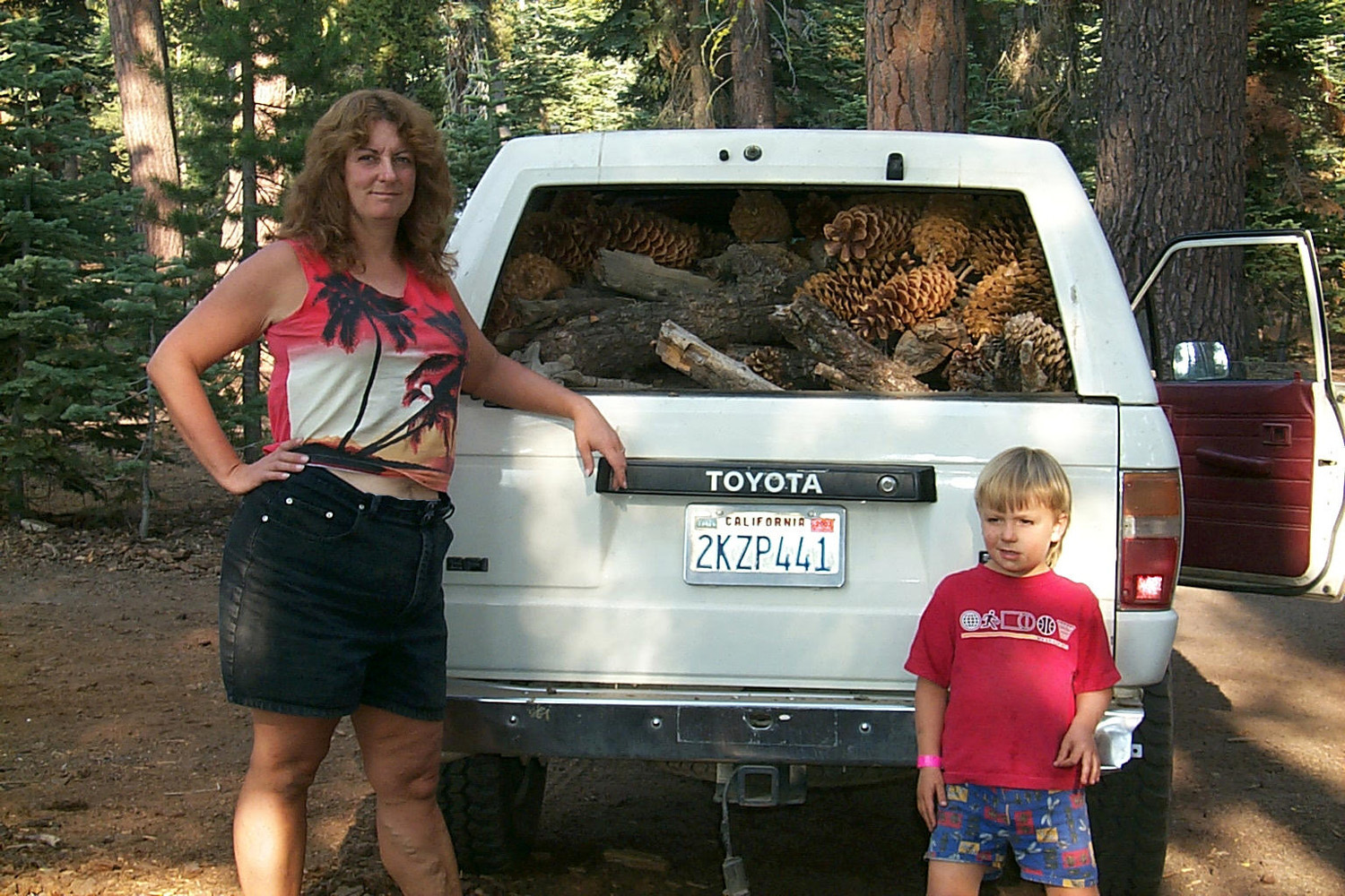
we would just stop when we saw one. On Thursday we mostly stayed around camp; went to Cow Creek for a
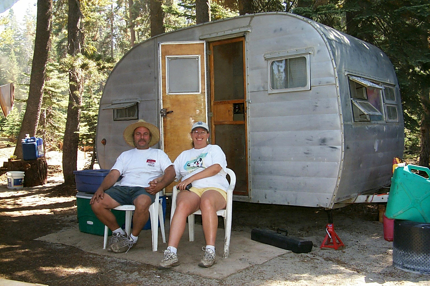
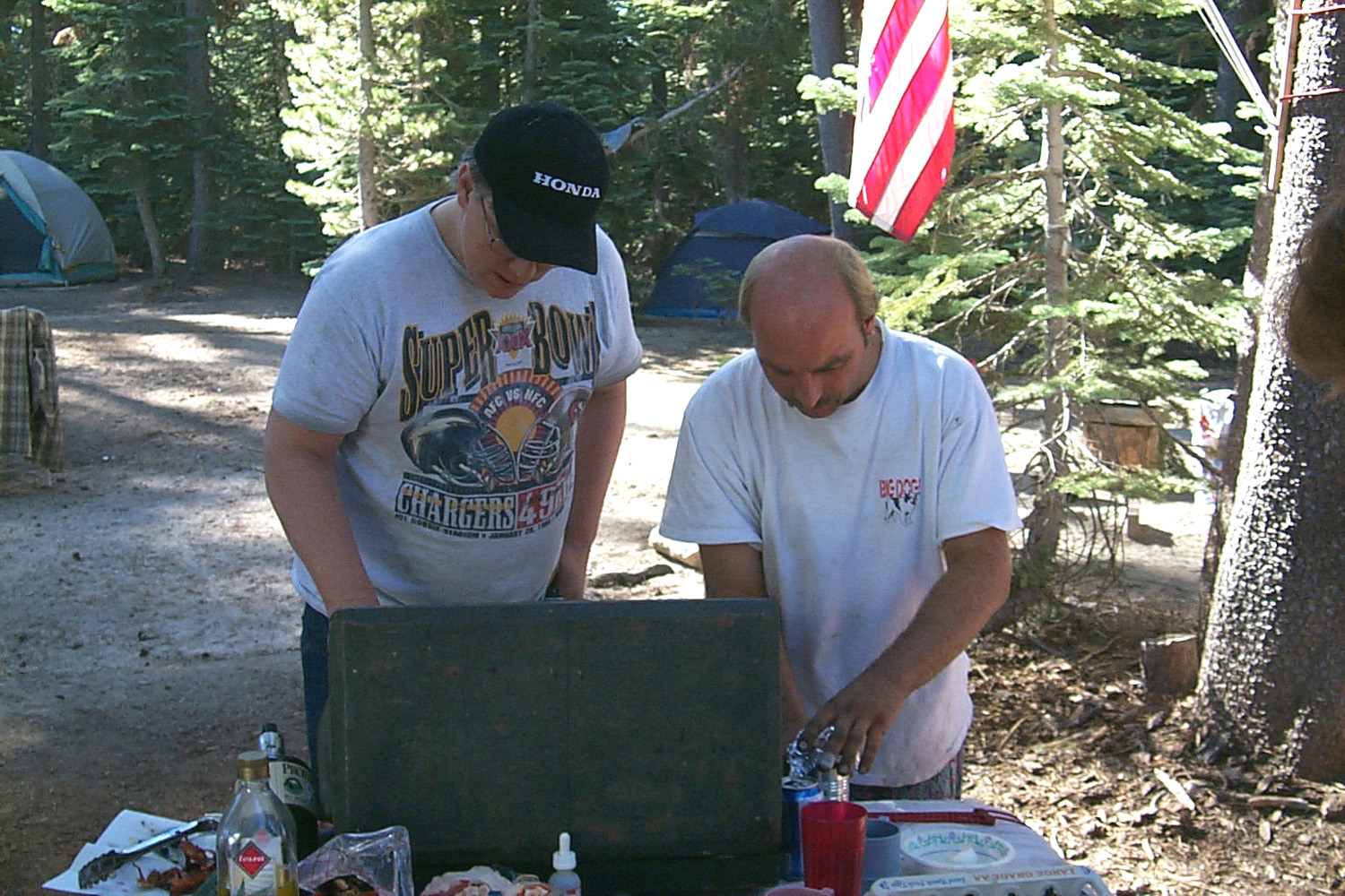
while, about 2 miles east of camp, and gathered wood. Friday we went to Bear Creek, off the Wishon Road (properly called the McKinley Grove Road), to swim. I got in the creek, the first time I have done that in probably 15 years. We stayed there an hour or so, then headed back. Tim and Jim Neely arrived around 8:30 or so, followed almost immediately by Tim's cousin Kenny and wife Leslie with their 1955 “white trash” teardrop trailer (actually not theirs, but stored on their property). We all had a good time teasing them. |
|
 |
 |
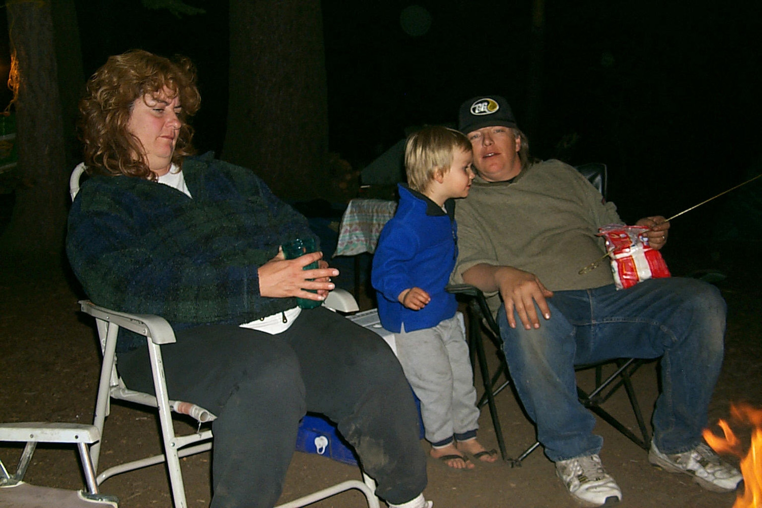
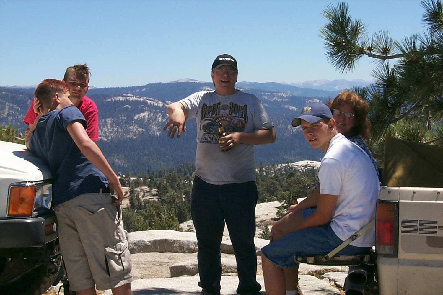
| Kenny & Leslie relaxing at Shaner-ville | Rock
Creek runs about a quarter mile below the camp, providing fun for everyone |
|
Saturday morning everyone but Jim and I took off to go fishing at
Courtright. Rod and Jennifer, Johnny, and Mike (Taggart) and Emily
Windle (now Mike's wife) all arrived within an hour. Rod and I were
going to hike to a nearby dome, but while I was in the trailer he
took off by himself, so I went 4-wheel driving with Johnny. He had a
good time going up a bad road where Tim got a flat tire the first
time he brought the 4-Runner to the area. We went over some bad
spots, but made it OK. Also found a way to get across the creek, but
could not get into the area I was interested in (below Big Rock Eats
Little Rock). By the time we got back, the fishermen had returned with no fish. We
did a little more driving, and several people went with Next morning all but Rod and Jennifer set out for
Bald
Mountain. Rod and Jennifer went to the dome which has now been named Neely
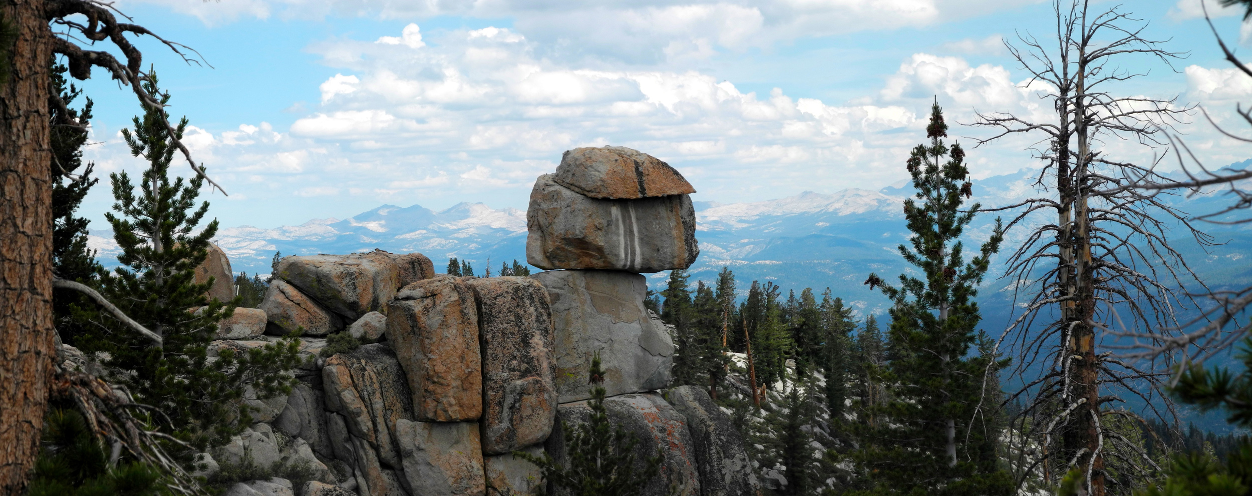
Dome, then left. When you walk west from camp down into Rock Creek,
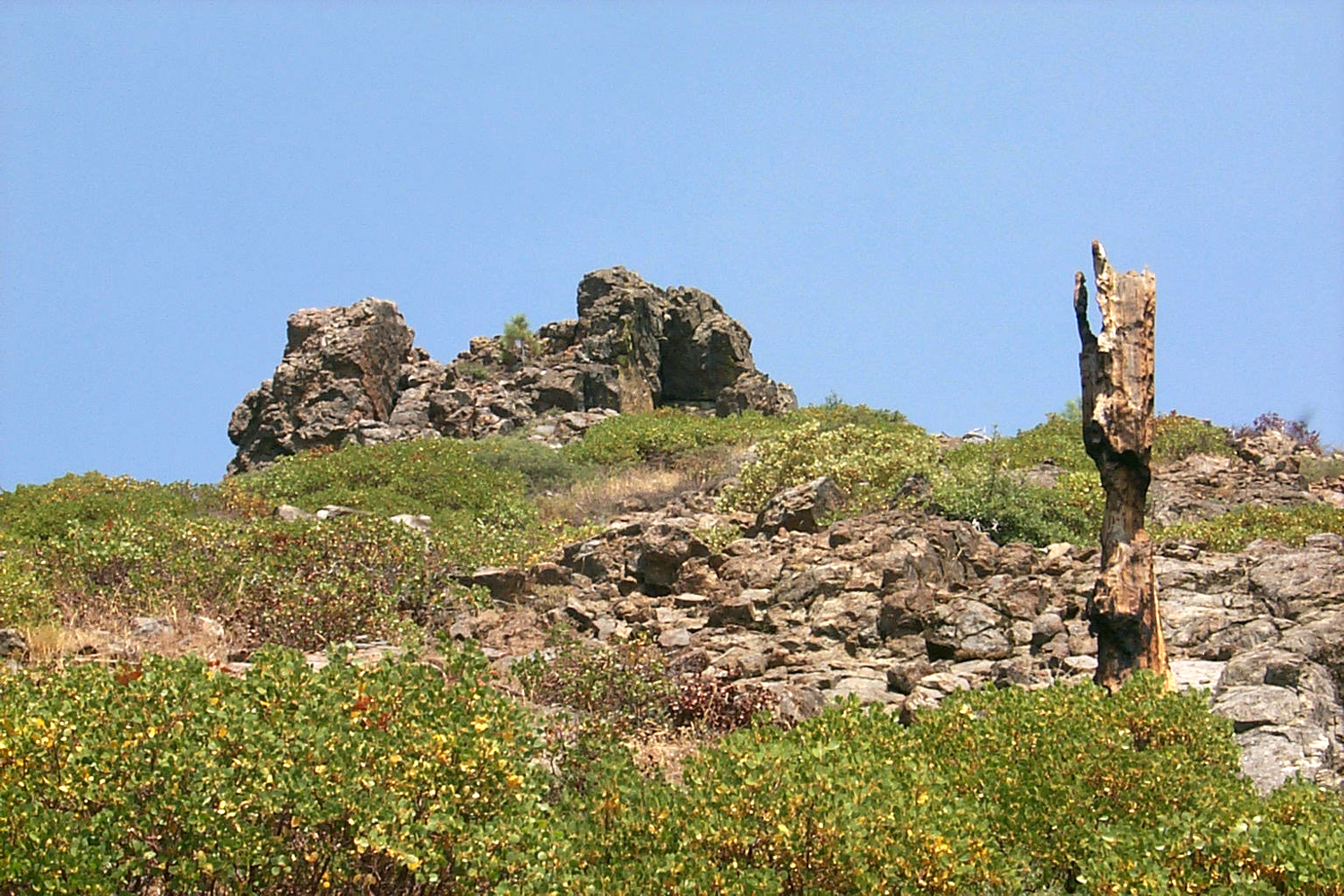
you cross and go up an open rocky area. This leads up to a dome and
ridge of rocks where there is a big rock that looks like it is
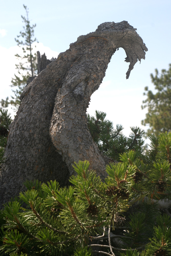
trying to eat a smaller one, as well as a wonderful monster tree, a
gnarly lodge pole pine that we call the chupacabra
tree. This is the area I have named Big Rock Eats
Little Rock. Once you go up over the Big Rock ridge, you start the
climb to the highest dome visible from camp (Neely Dome). |
|
 |
 |
| Johnny puts his "new used" Jeep through its paces | We named this "Big Rock Eats Little Rock" |
|
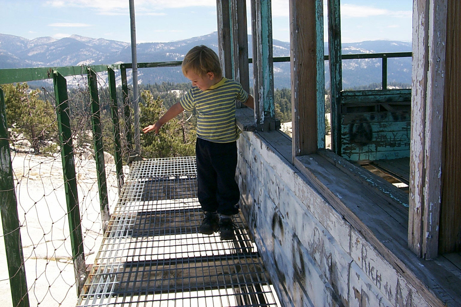
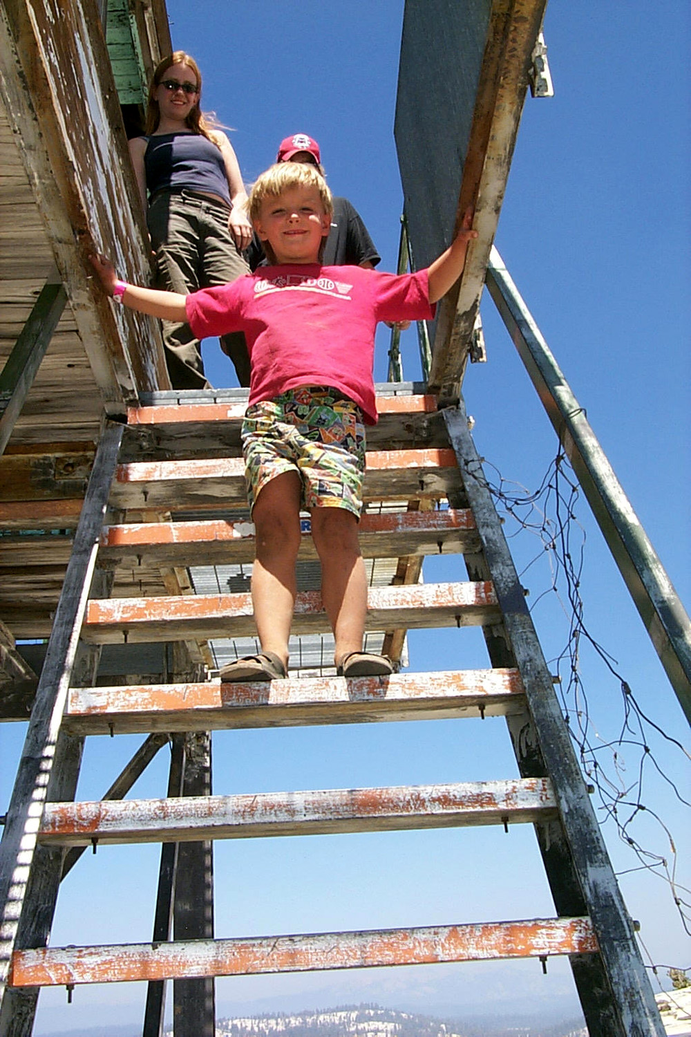
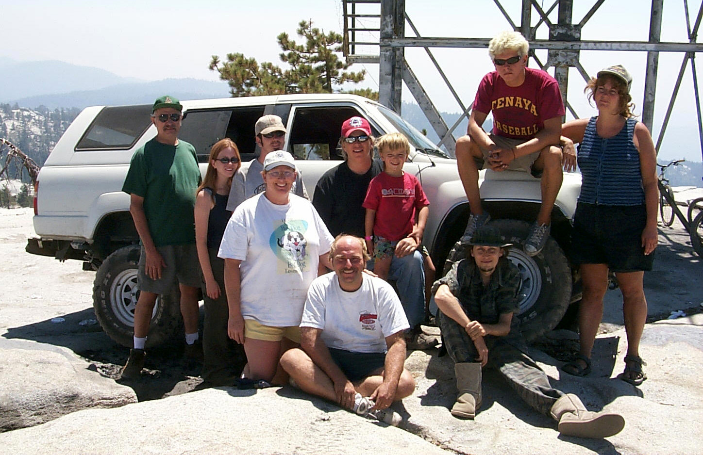
Our trip to Bald Mountain went as usual, with some difficult moments
for Johnny and his jeep, whose tires are not quite what he wants for
four-wheeling. We made it through several difficult spots, with
guidance from Kenny, and enjoyed a nice view at the top. For the
first time, Mikie (age 5) went up and came down the fire lookout steps
without anyone holding his hand. |
|
 |
 |
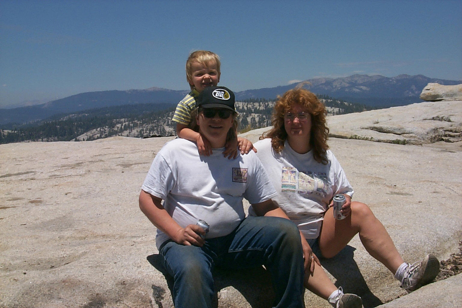
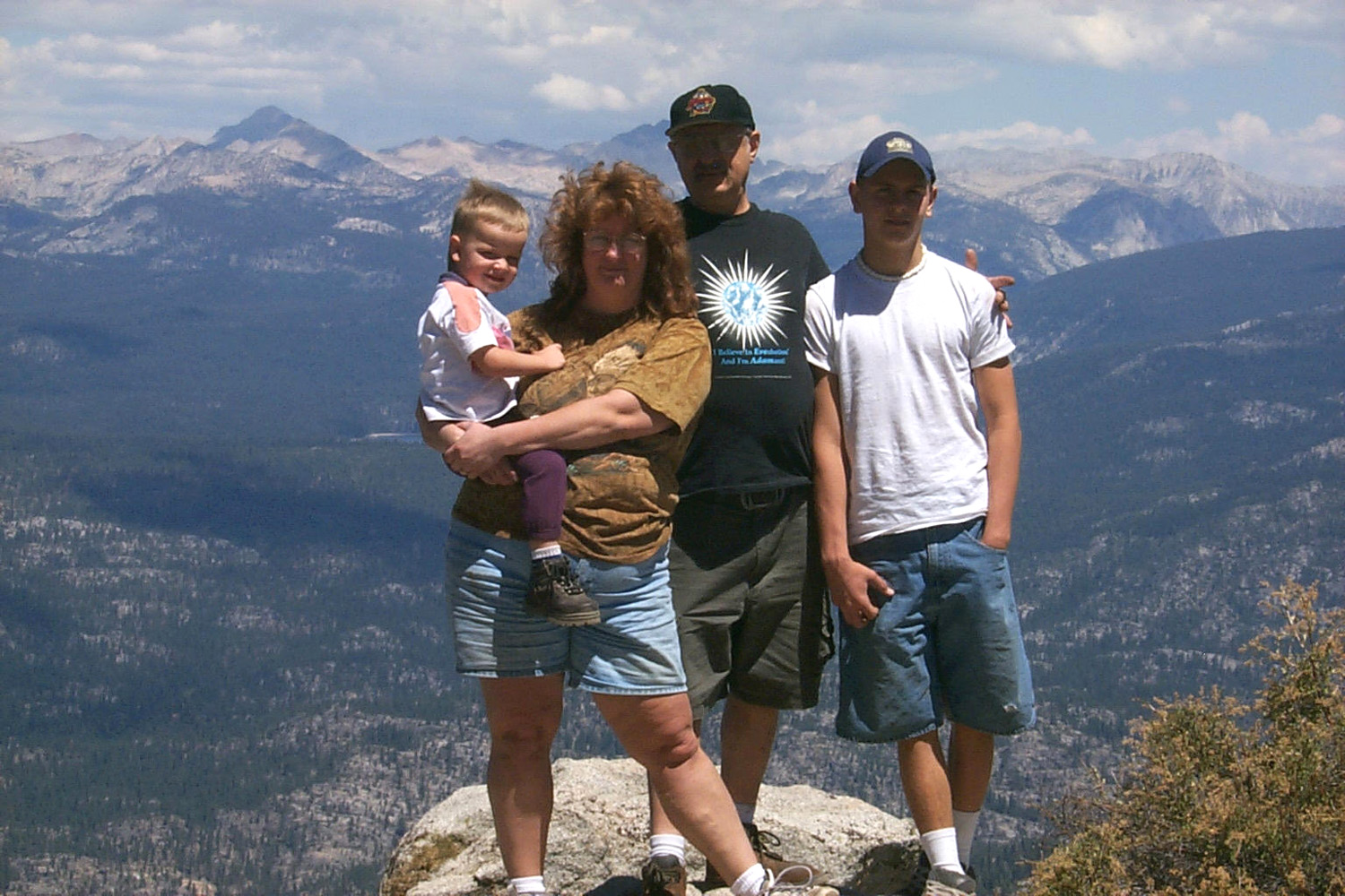
| "I can go up and down all by myself!" | Back:
Dick Estel, Emily Windle, Mike Taggart, Tim and Mikie Liddle, Johnny Upshaw, Teri Liddle; Front (on rock) Leslie & Kenny Shaner, Jim Neely |
|
There was to be a birthday party
in Fresno that night for Johnny (his 18th
on the 18th), but by the time we got back to camp, it was
only two hours before party time. Johnny packed and left taking Jim,
and it was decided he would call every one and postpone the party to
the next day. By the time Tim and Teri were ready to go, it was
less than an hour before party time, so it proved to be a wise move. I stayed that night, getting everything loaded from outside except my mat. The next day I did my normal morning exercise and walk, then ate breakfast, hitched up, and headed for home. |
|
| Solo
Camp - 2002
September 7, 2002
: I went camping at Stargazer Rock Thursday, September 5, through today. I
left Fresno
under partly cloudy skies, with a predicted high of 85 and possible
showers. The weather the next day was supposed to be rain-free. Ha!
I had drops on the windshield a few times after I went past Shaver
Lake, and enough to turn on the wipers for a couple of swipes on the
last mile. I
arrived about |
|
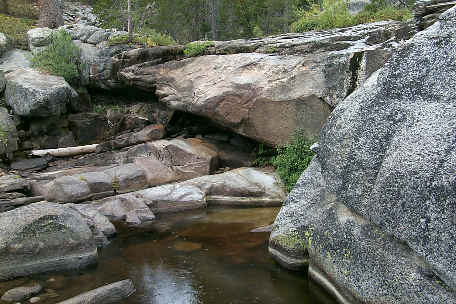 |
 |
| A quiet pool on Rock Creek | Nature's excellent landscape design |
|
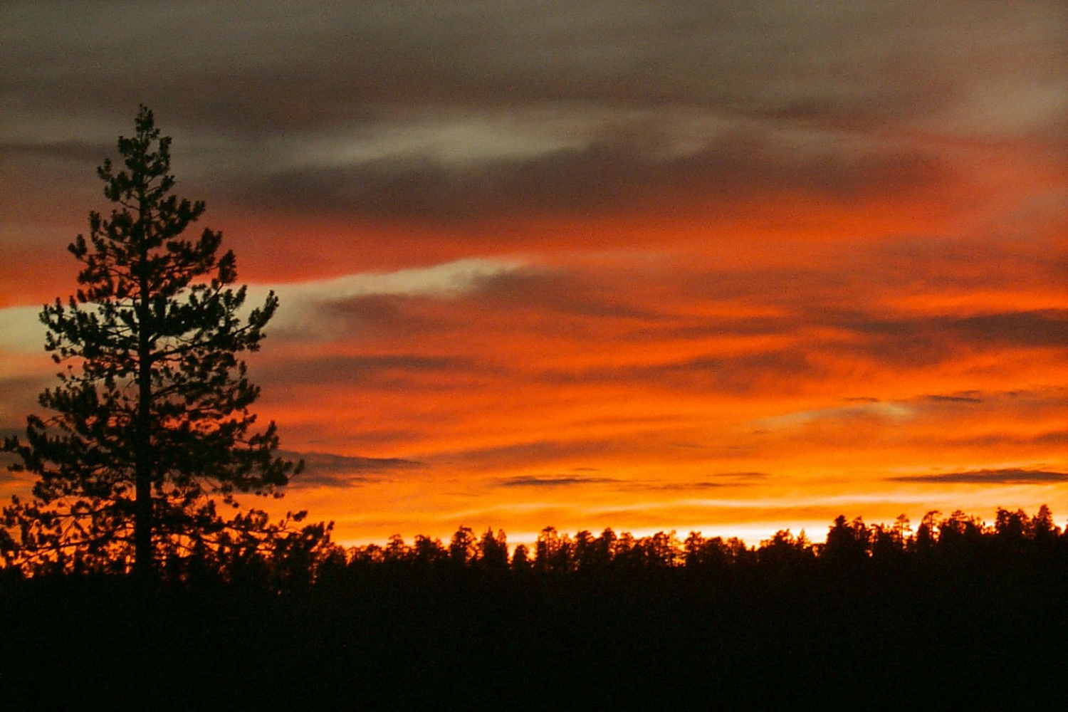
At
I
started a small fire about The
sun was going out of sight behind the domes to the west at After
sunset there were some blue and pink clouds, fading through all the
normal colors, gold through subdued rose. Vega, Deneeb and Altair
were bright overhead; Venus was bright but fading in the clouds and Arcturus
was dim or hidden. Temperatures
through the evening: 50 at I
turned
on the generator at |
|
 |
 |
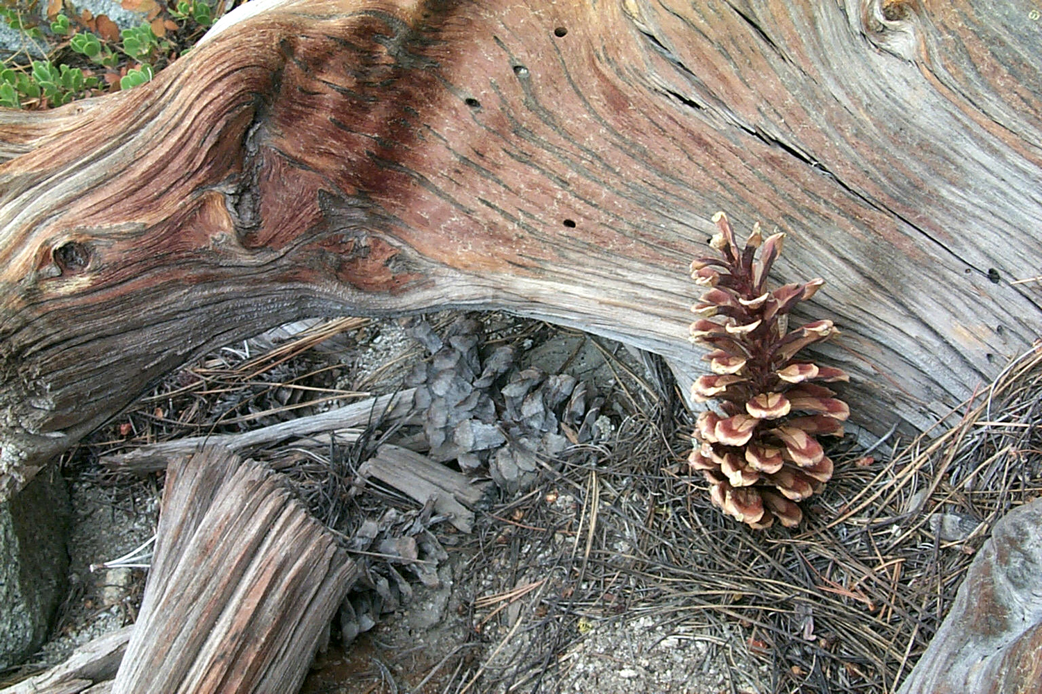
| Stargazer sunset | Chinquapin in bloom |
|
Friday,
September 6, there was a short sprinkle at 5 a.m.; then it rained hard at
6:30 for about 5 minutes; then misty rain steady at 8 a.m., blowing under
the awning from the front. It looked like a bad day for my planned
drive and hike up the northern Bald
A
ranger stopped by to say hi and ask if I had a fire permit, but did
not ask to see it (I have one). I
went for a walk about 2 p.m.
It started raining, not hard, but I headed back. There was no rain
after that, but it was windy and very cool. I started a fire at Temperature
at Saturday
it was mostly sunny so I went on my planned drive and hike. I went
west on the road that goes past camp to the Bald
|
|
|
|
| Dome east of Road 9S02 | Rocky cliffs west of the road |
|
After
I returned to camp, I saw four or five cows walking down the road.
I’ve seen old dried up manure, but never any cows in that area.
Then right behind them I saw a jeep, apparently herding them down
the road. These modern conveniences! I
got everything picked up, hitched up, and headed home around --Dick Estel, August 2020 |
|
|
Photos (Click to enlarge; pictures open in new window) |
||
 |
 |
|
| Chefs Tim and Kenny | Stargazer Camp | It takes a driver
and a co-pilot to negotiate these trails |
 |
 |
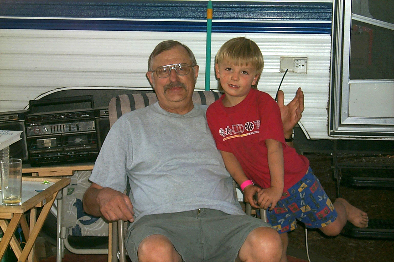 |
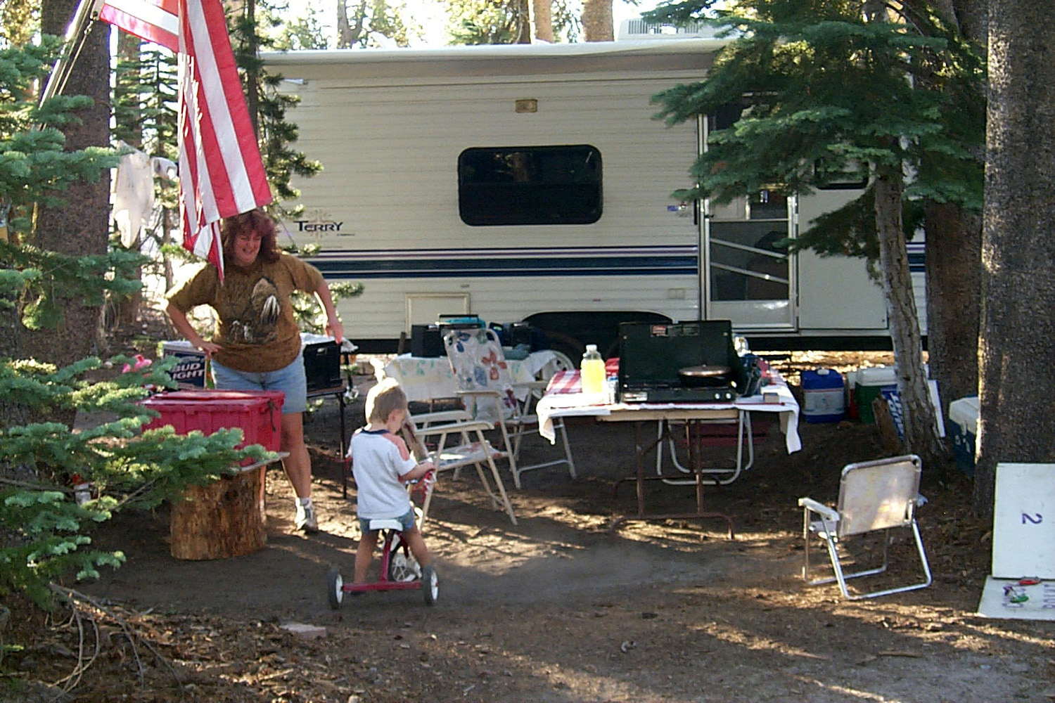
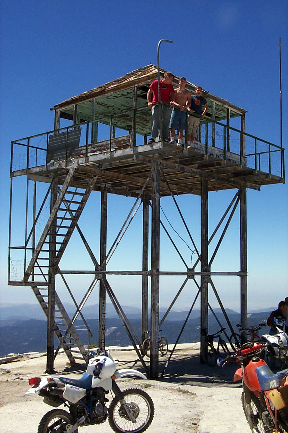
| A job well done | Dustin, Johnny and Moses on the old fire lookout | Mikie with Grandpa Dick by the trailer |
 |
|
 |
| It's a tough job, but someone's gotta do it | Falls in Hell Hole on the Kings River's North Fork | Tim and Kenny at the
Bald Mountain Fire Lookout |
 |
 |
 |
| Dinkey
drainage below |
Rocks
and brush in burned area along |
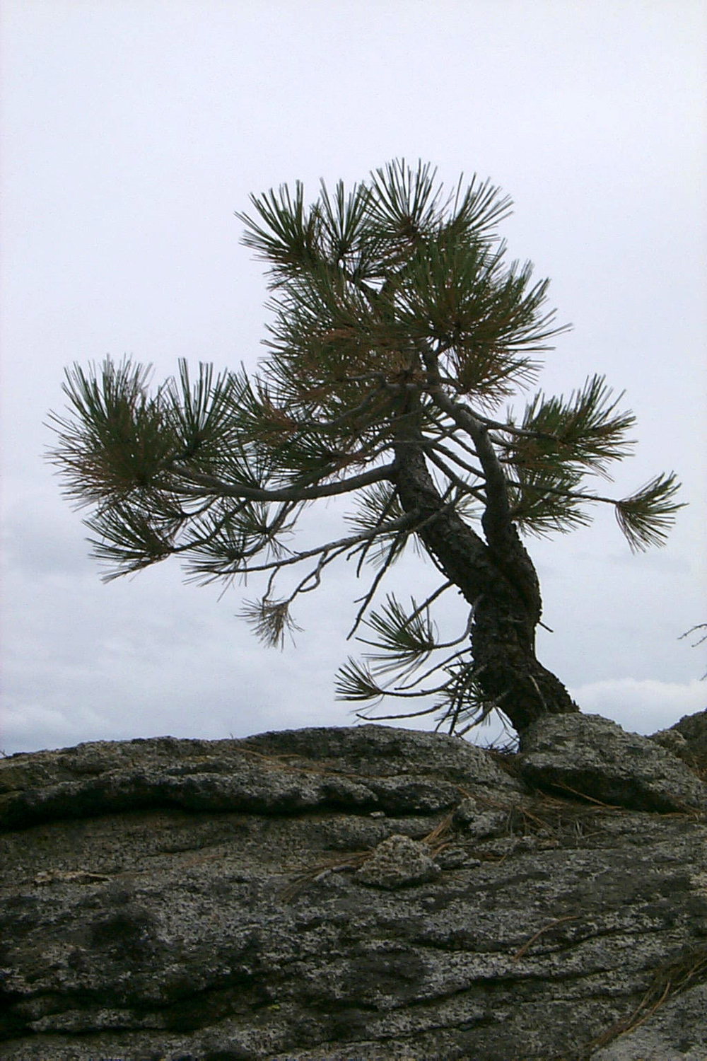
Stunted Jeffrey Pine growing in rock |
| Related Links | ||
| Bald Mountain Trail | Bald Mountain Fire Lookout | Road to Florence Lake (from 2010) |
| Dusy/Ersham Trail | Courtright Reservoir | Dinkey Lakes Wilderness |
| Florence Lake | ||