Journey of 2014 Photo Page


|
This page contains only the photos for this trip. To read the text, click here. |
|||
|
Click to enlarge; pictures open in new window |
|||
|
|
|||
|
June Lake & Eastern Sierra Nevada & Great Basin Utah & Dinosaur National Monument Colorado & Dinosaur National Monument Colorado & Rocky Mountain National Park Missouri & Indiana Ohio & Michigan Missouri Again Heading Home Maps |
|||
|
June Lake & Eastern Sierra |
|||
|
|
|||
|
|
 |
 |
|
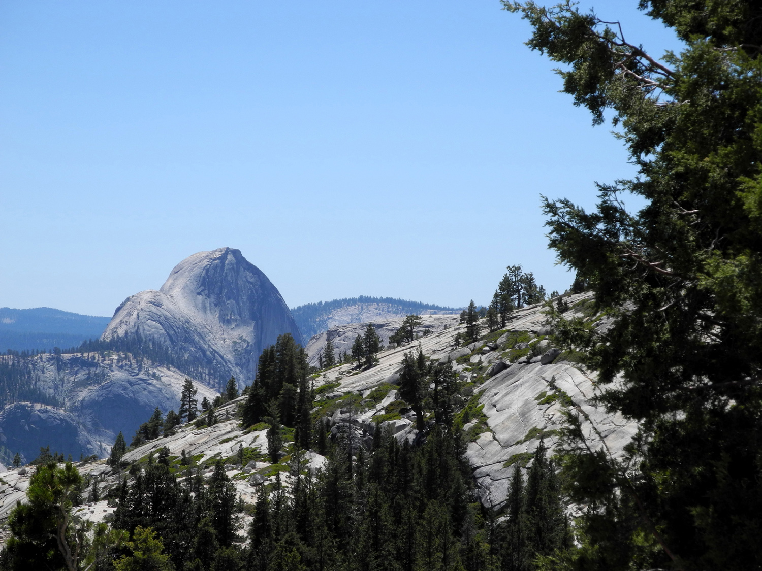
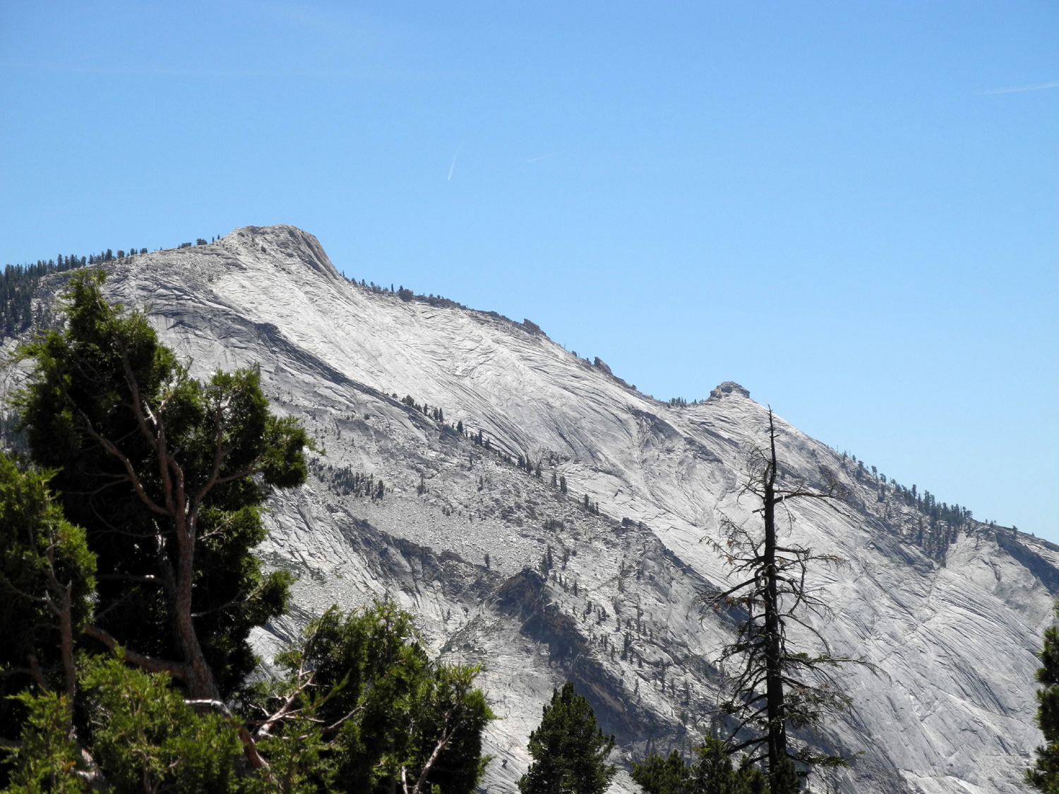
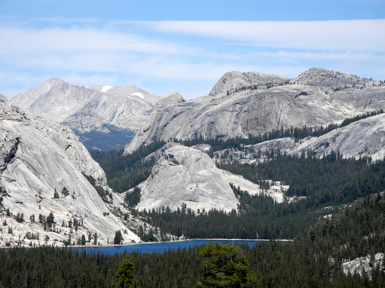
| A different view of Half Dome | Cloud's Rest | Tenaya Lake | |
 |
 |
 |
|
|
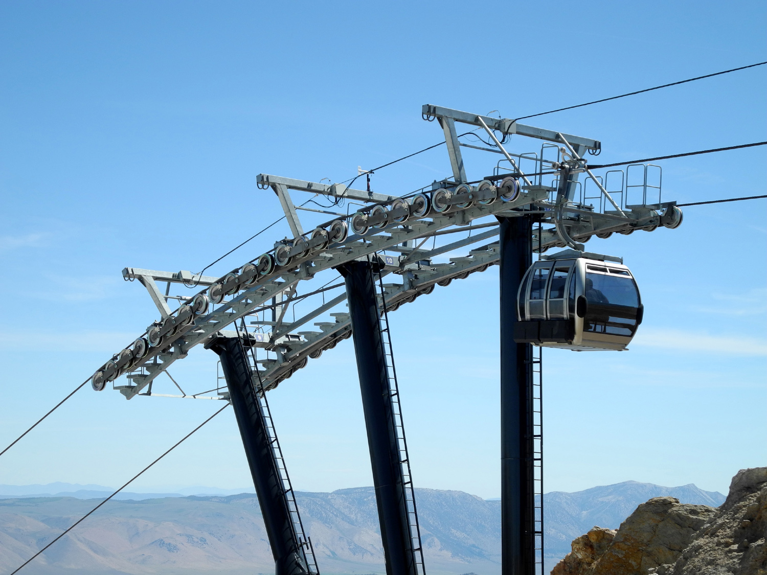
Mikie & Teri in the gondola at Mammoth Lakes |
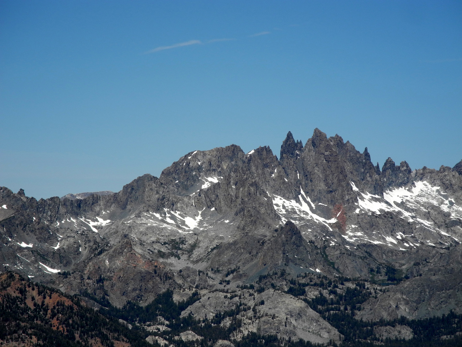
Yeah, that's what's holding us up | The Minarets | |
|
 |
 |
|
|
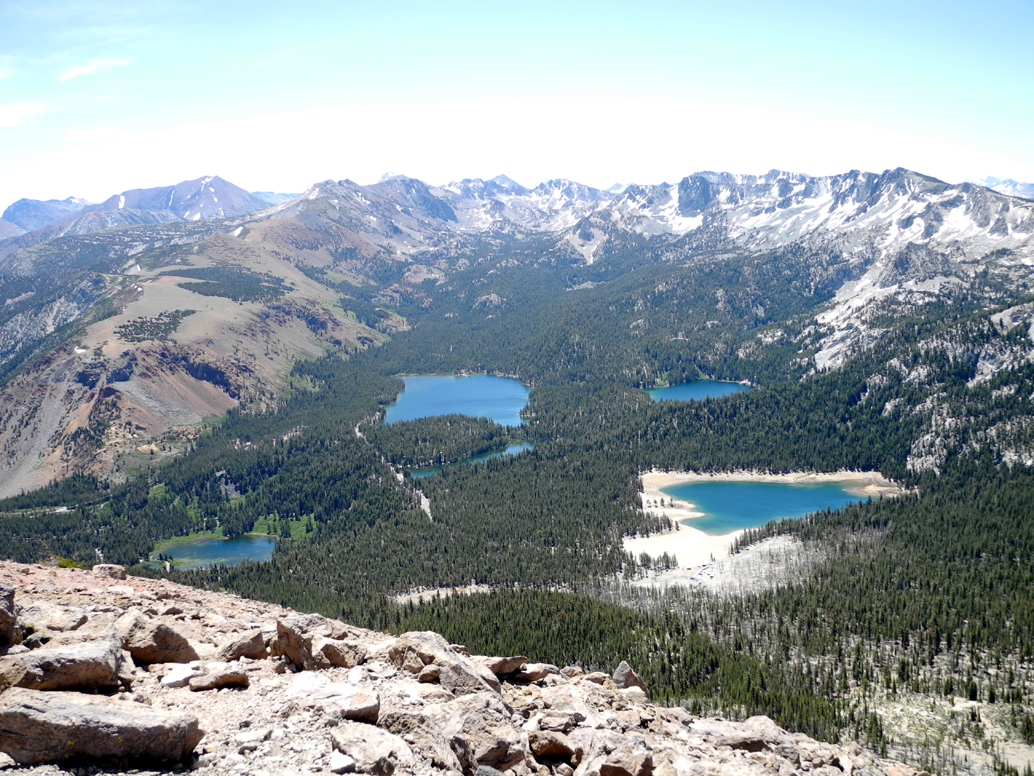
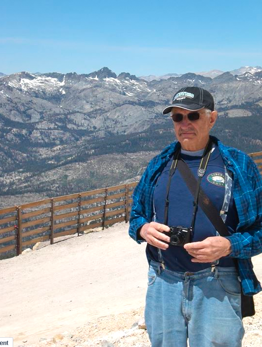
View from Seven Lake Vista | Dick with the Minarets as backdrop | |
 |
 |
 |
|
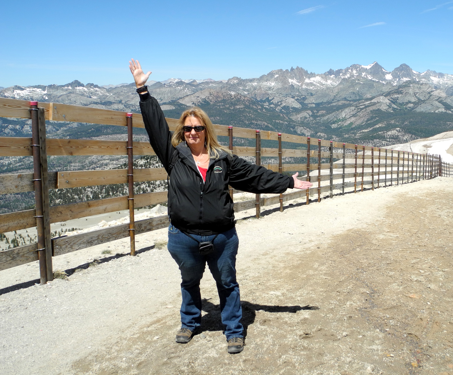
| With the Minarets in the
background, Teri celebrates her 50th birthday |
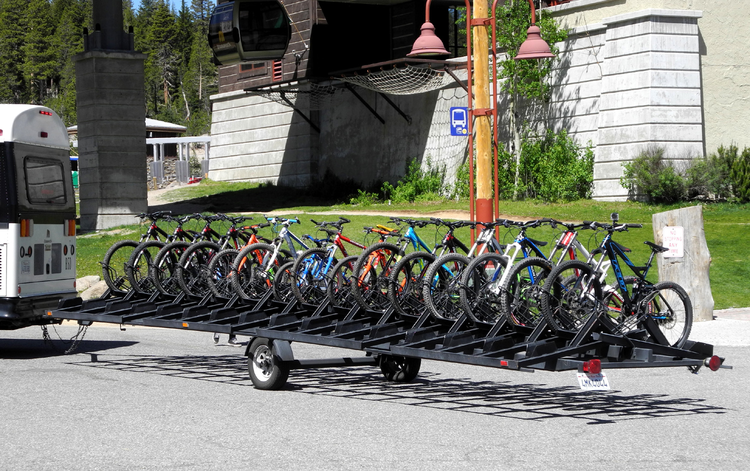
Biking is a popular activity at Mammoth Lakes | Our A-frame at Reverse Creek Lodge | |
 |
 |
 |
|
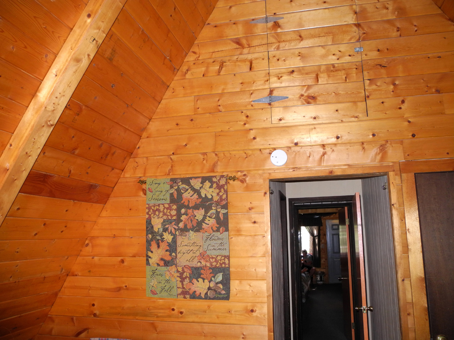
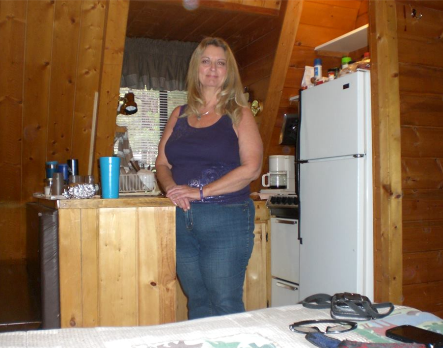
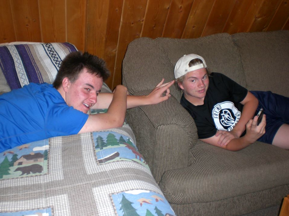
| Teri in our kitchen | Mikie and Max, just kicking back | The view from our cabin | |
 |
 |
 |
|
|
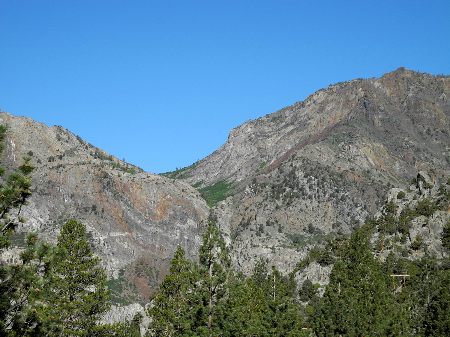
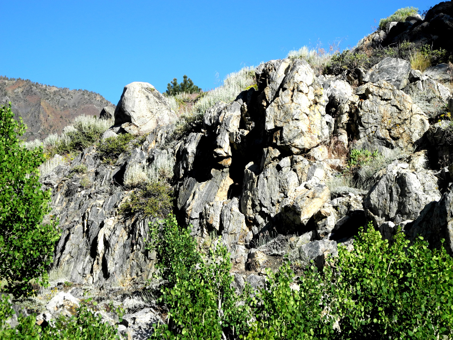
Cliffs above the June Lake Loop road |
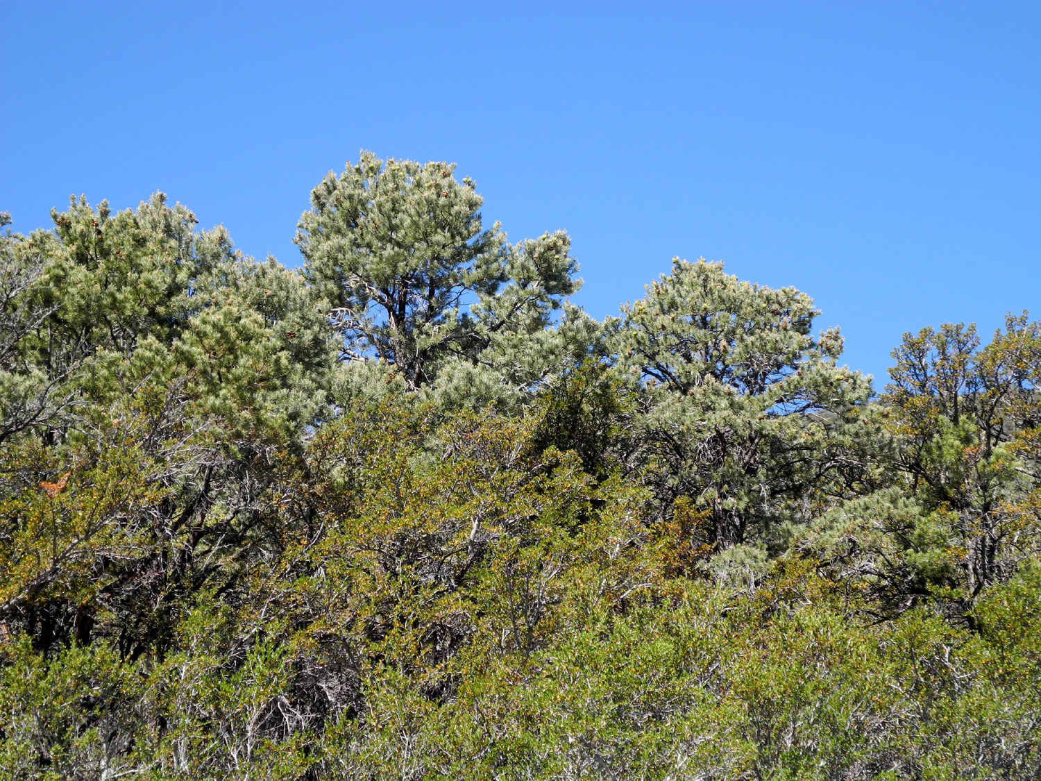
Rugged juniper by the road | One of many volcanic craters in the Mono Lake area | |
 |
 |
 |
|
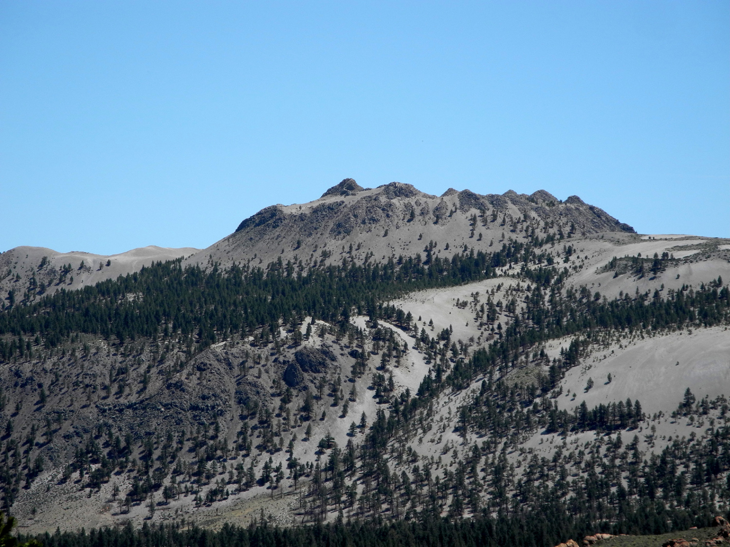
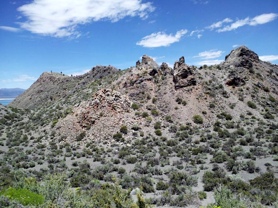
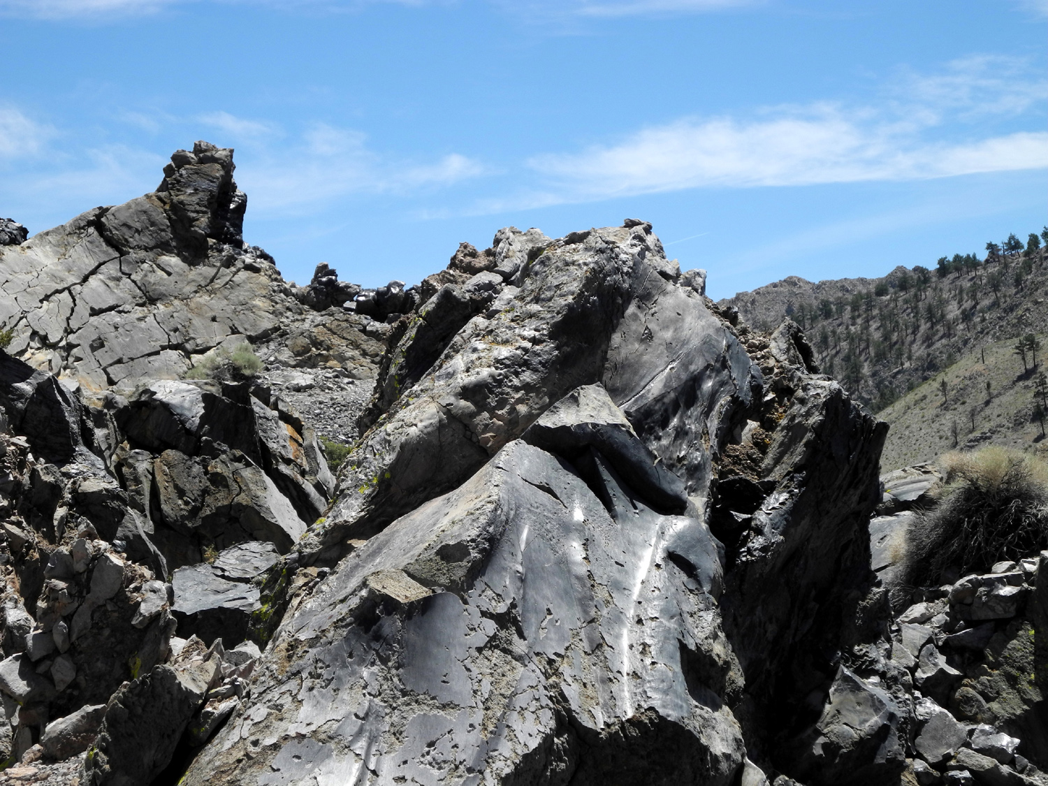
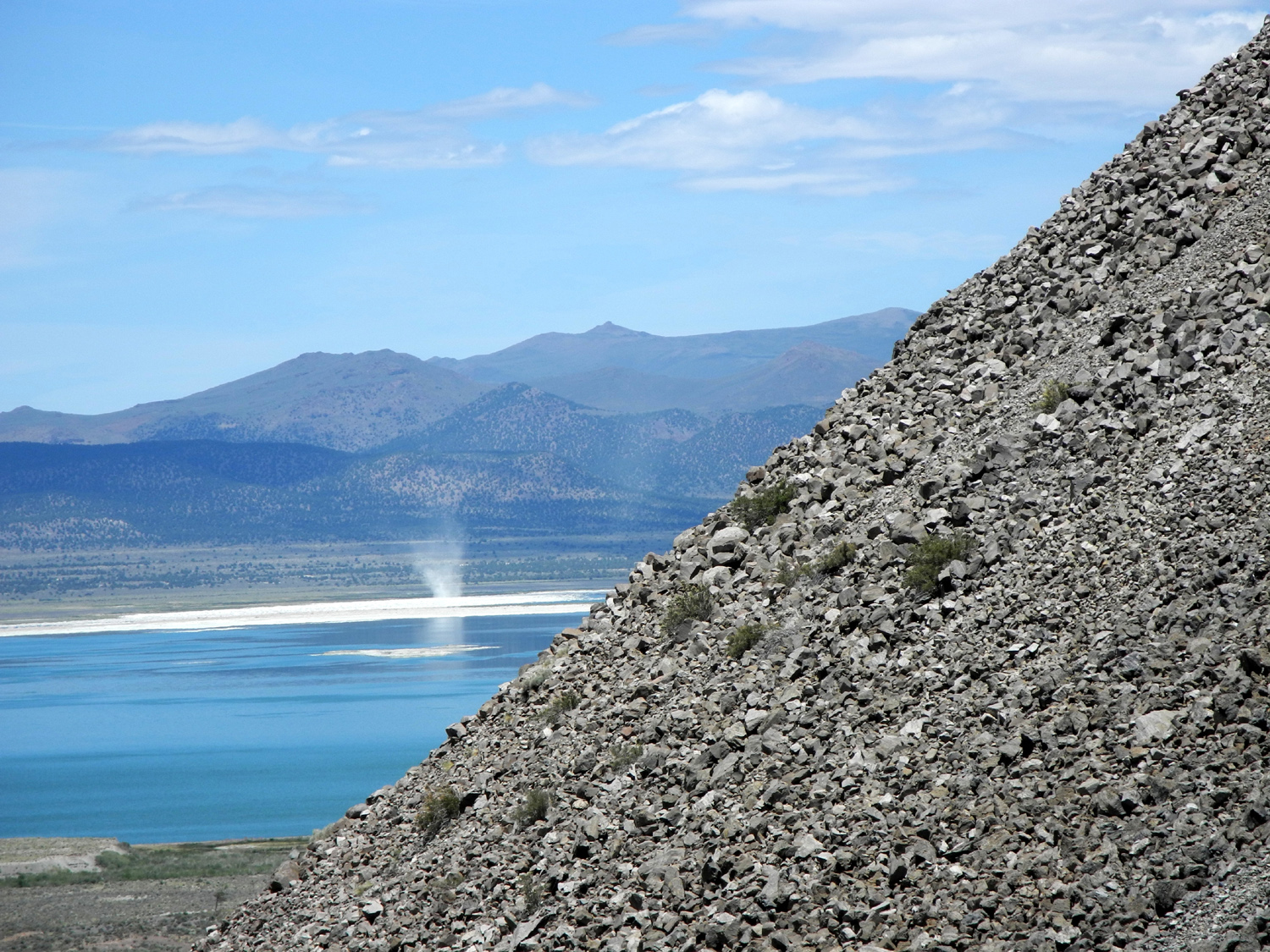
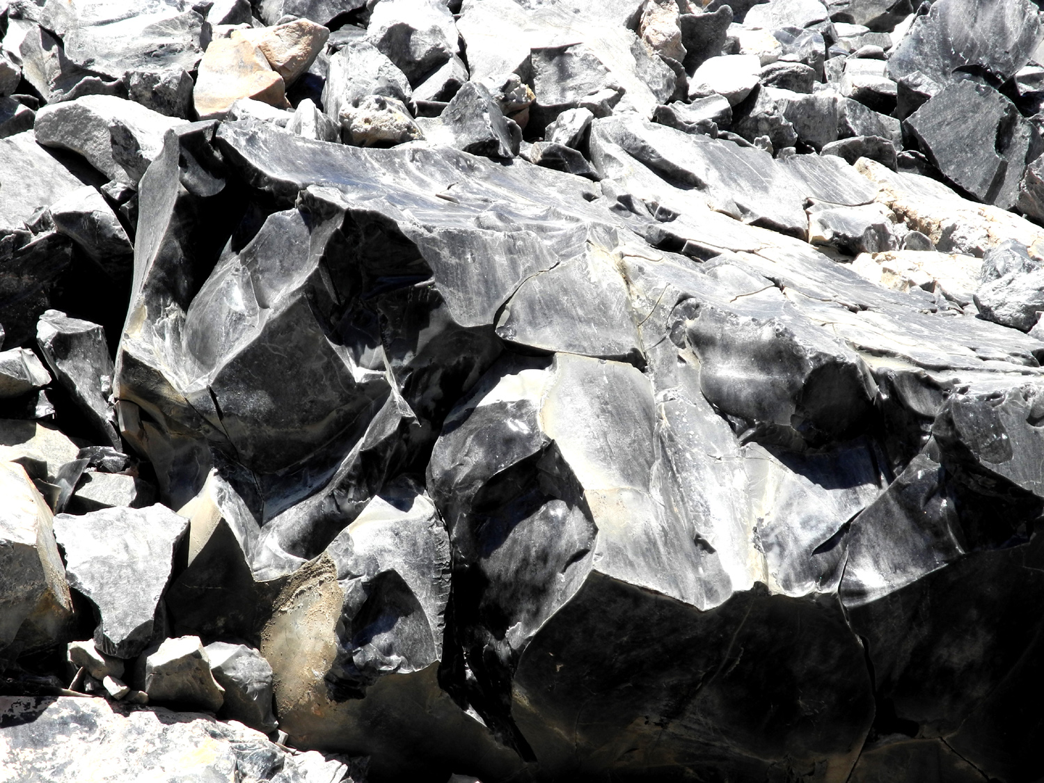
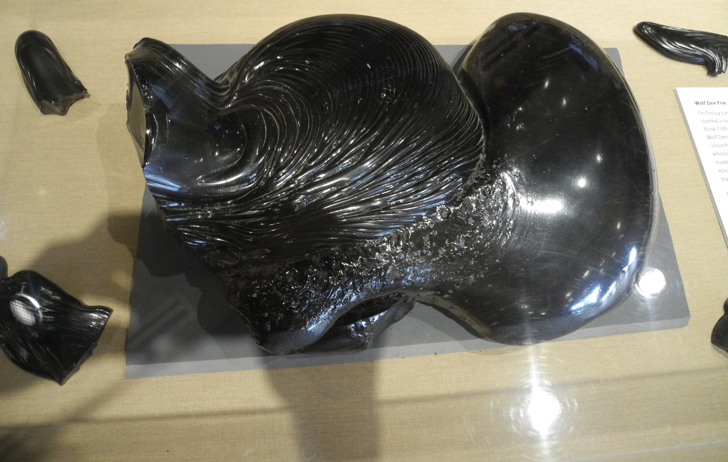
| Panum Crater | Obsidian boulder in the crater | Water spout on Mono Lake | |
 |
 |
 |
|
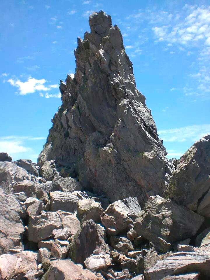
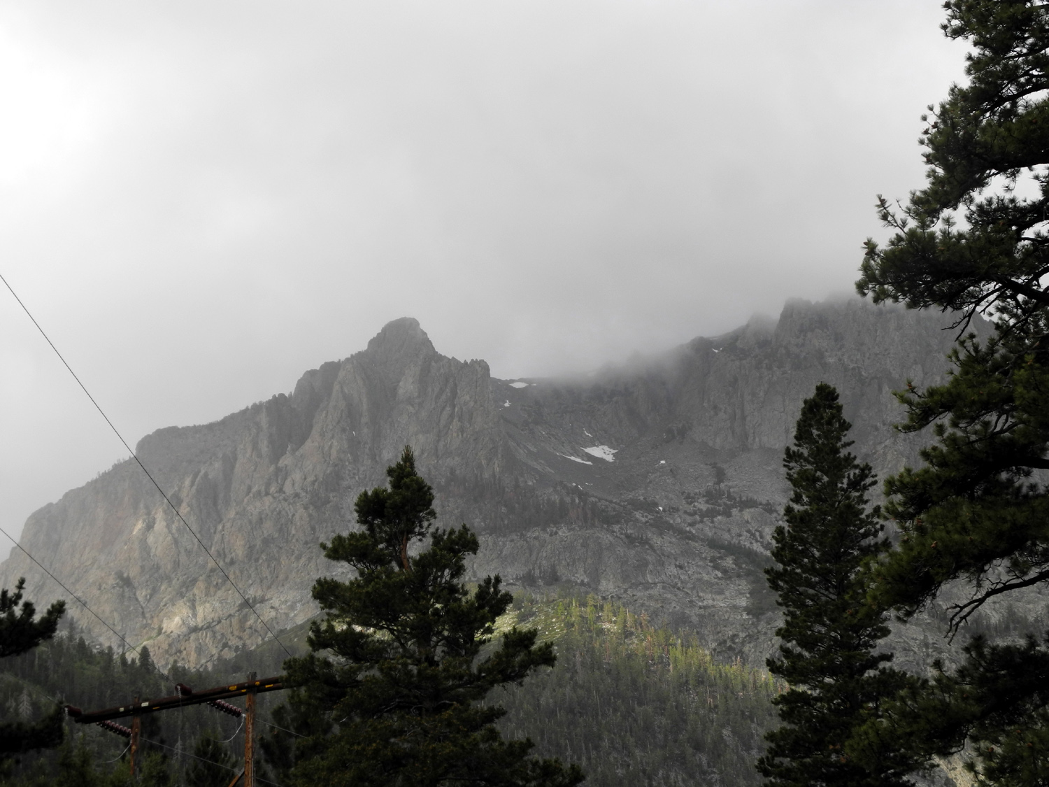
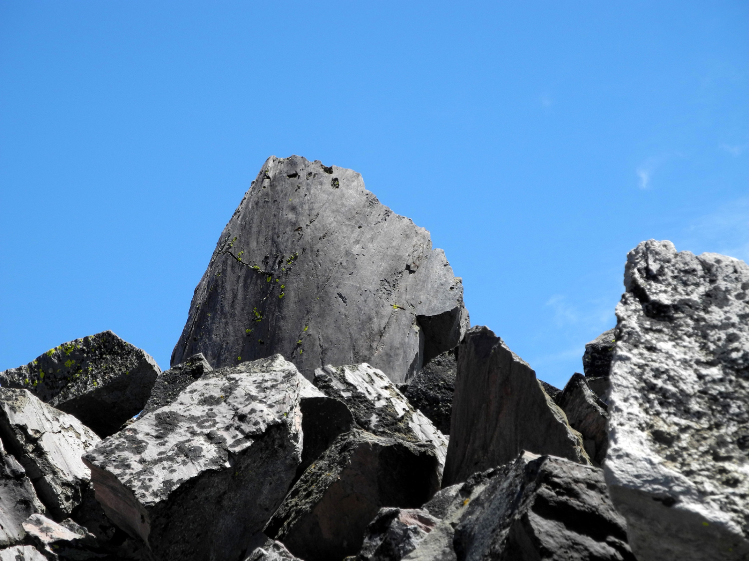
| The dramatic top of the plug | More obsidian | A stormy morning | |
 |
 |
 |
|
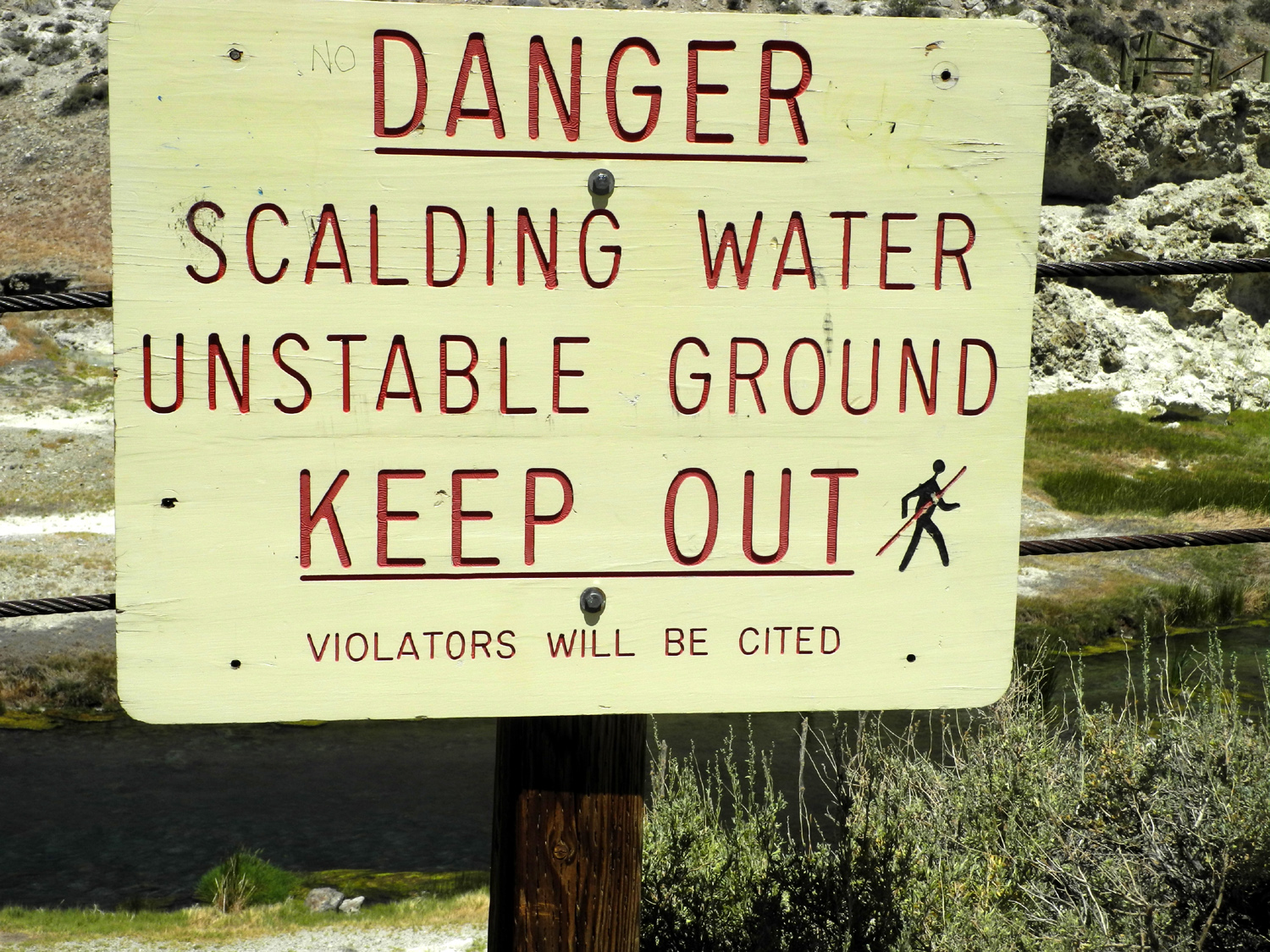
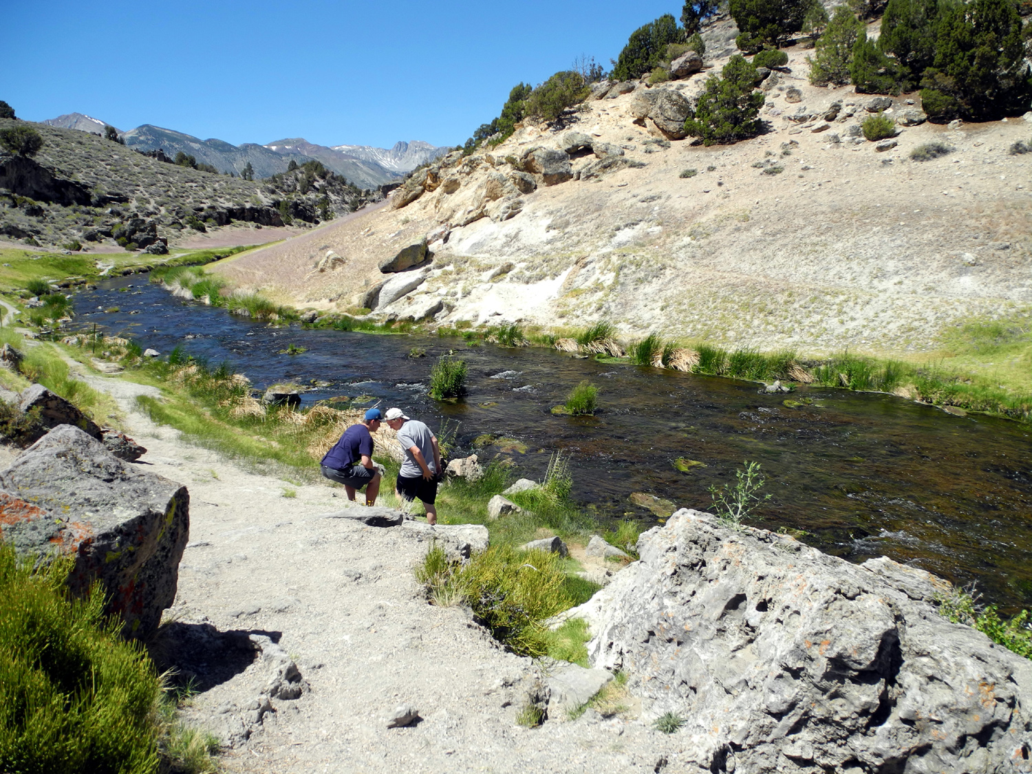
| Hot Creek | It probably should say SURVIVORS will be cited | The cool part of Hot Creek | |
 |
 |
 |
|
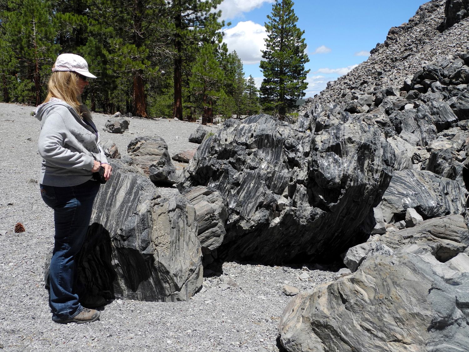
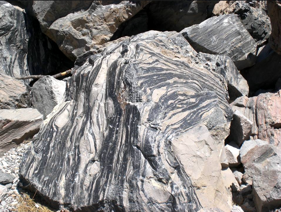
| Boulder at Obsidian Dome |
Teri considers whether she can make off with that nice specimen |
Obsidian comes in various colors | |
 |
 |
 |
|
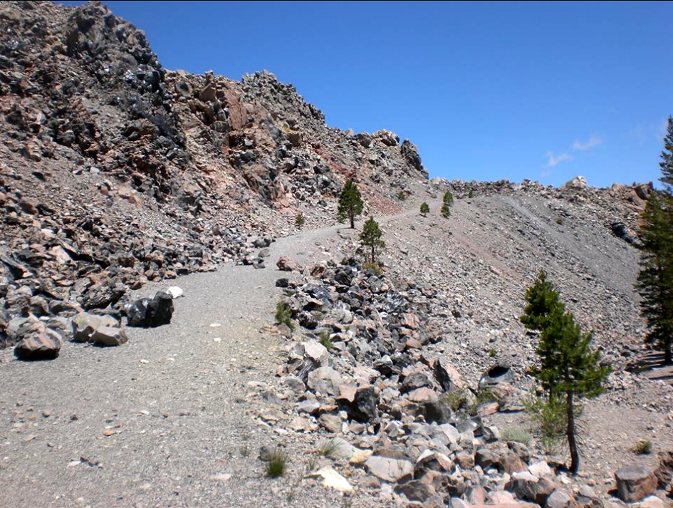
| The path to the top of the dome | Pumice makes average humans capable of amazing feats | On top of Obsidian Dome | |
 |
 |
 |
|
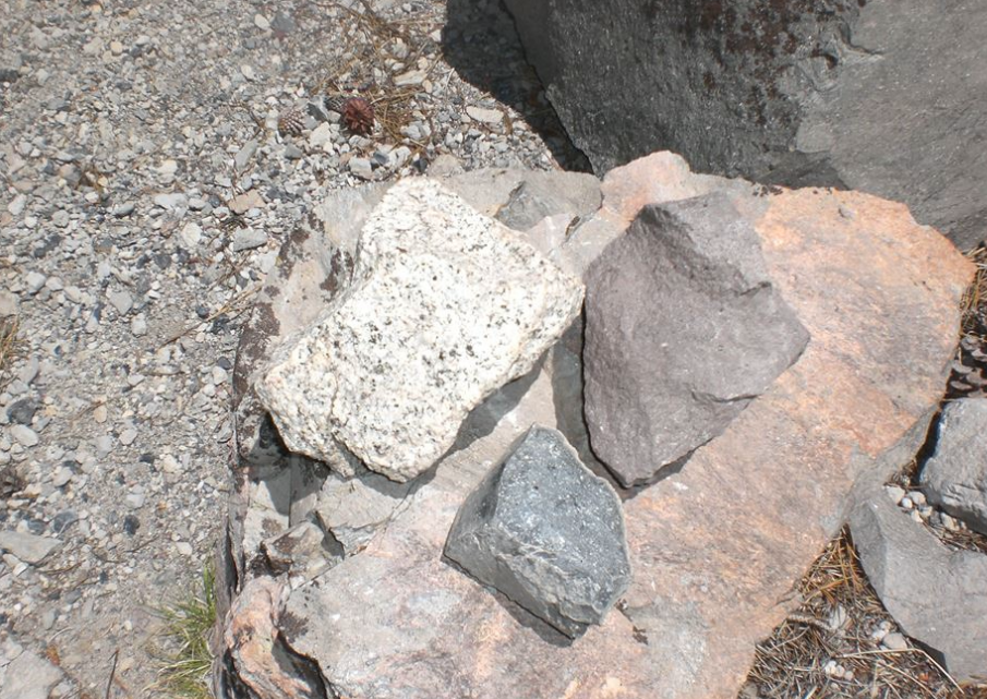
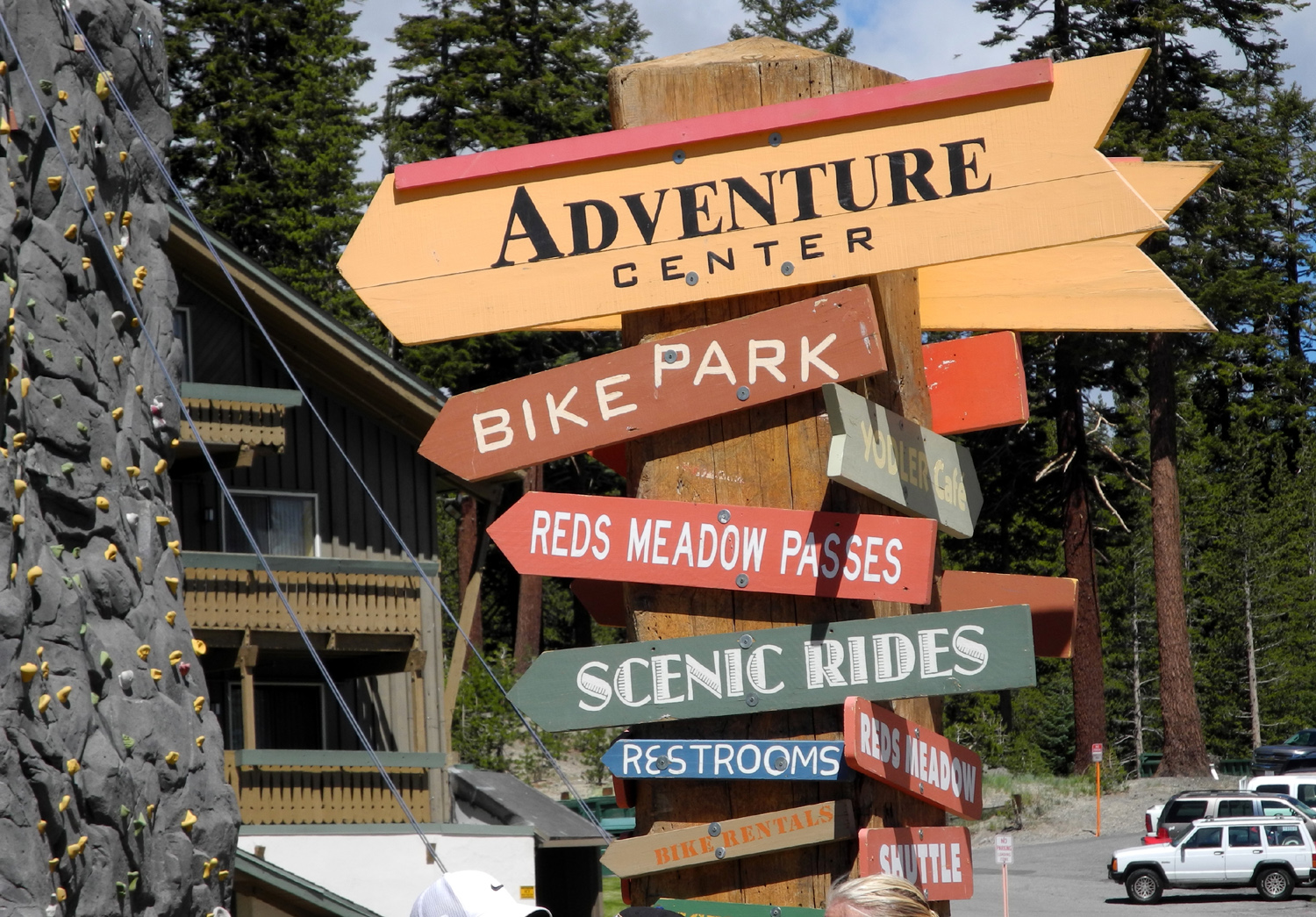
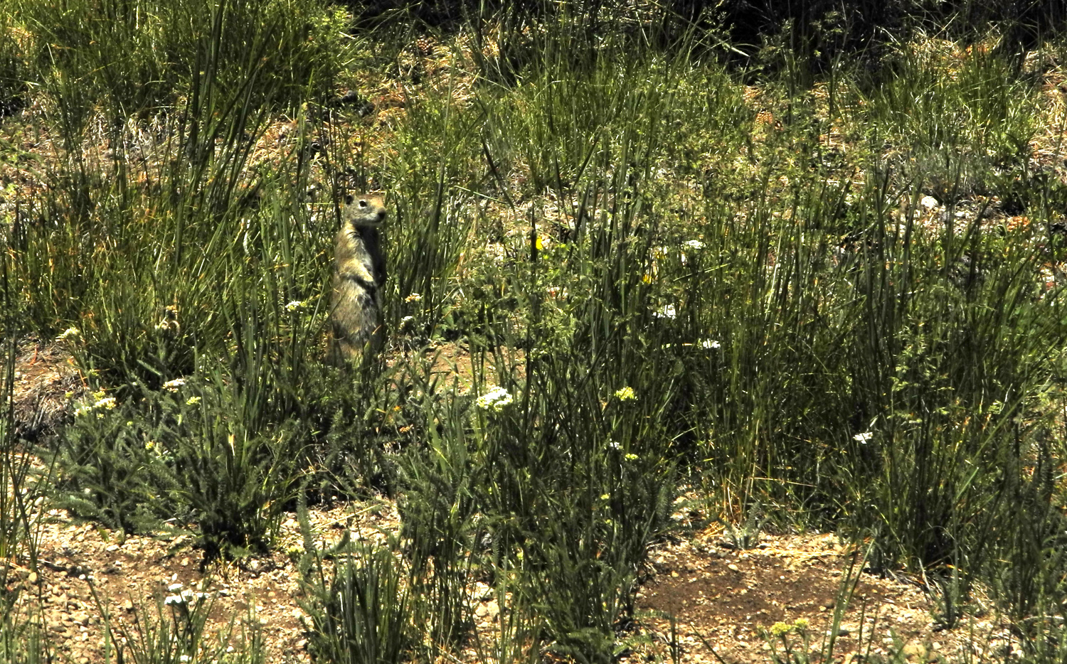
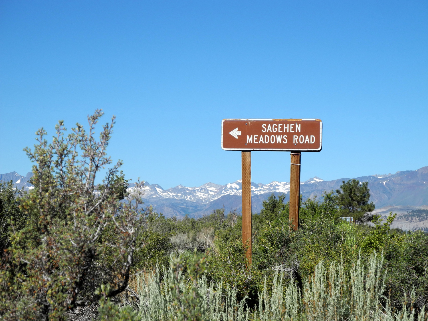
| Different colored volcanic rocks at Obsidian Dome | All the places you can go from Mammoth Lakes | Squirrel in the meadow near Devil's Postpile | |
 |
 |
 |
|
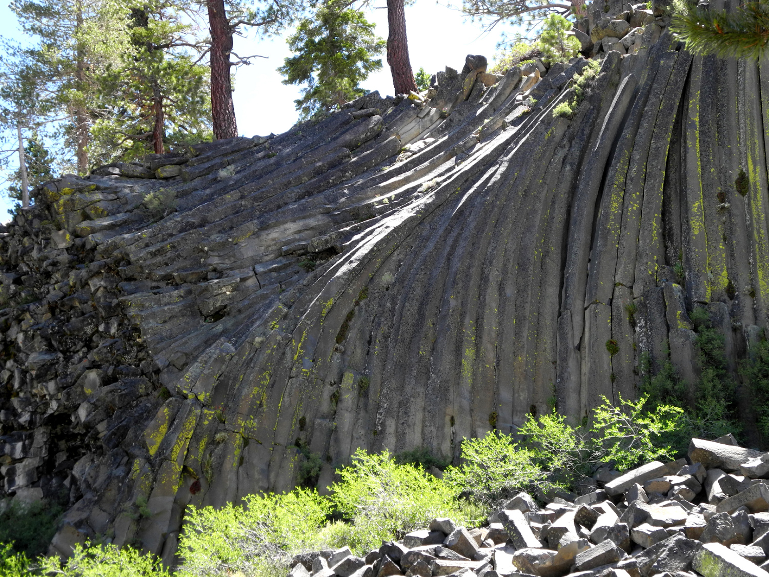
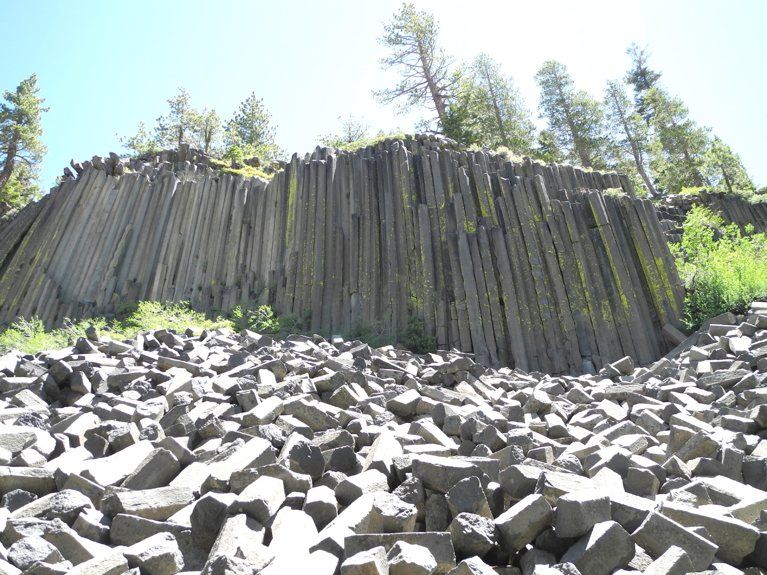
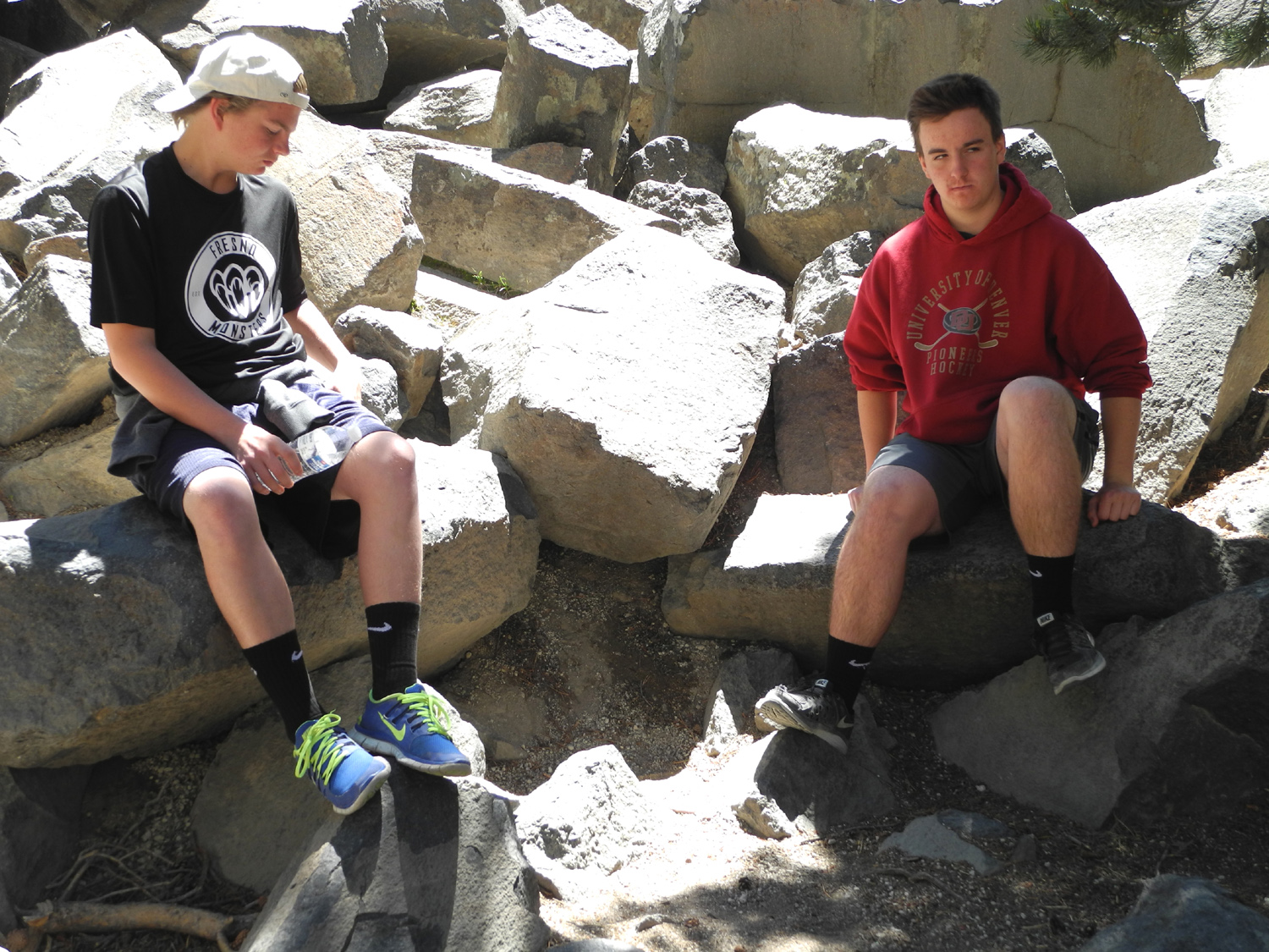
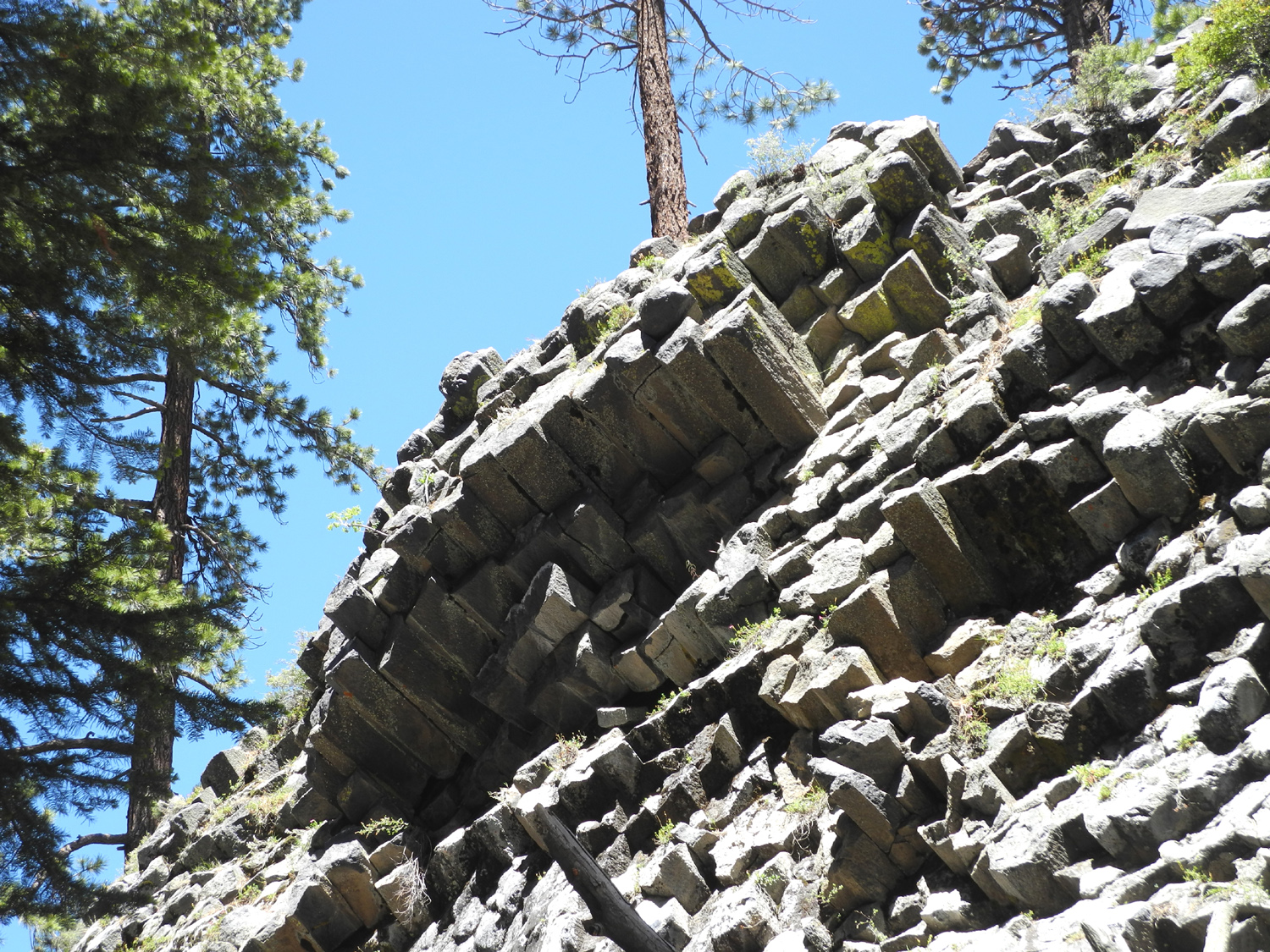
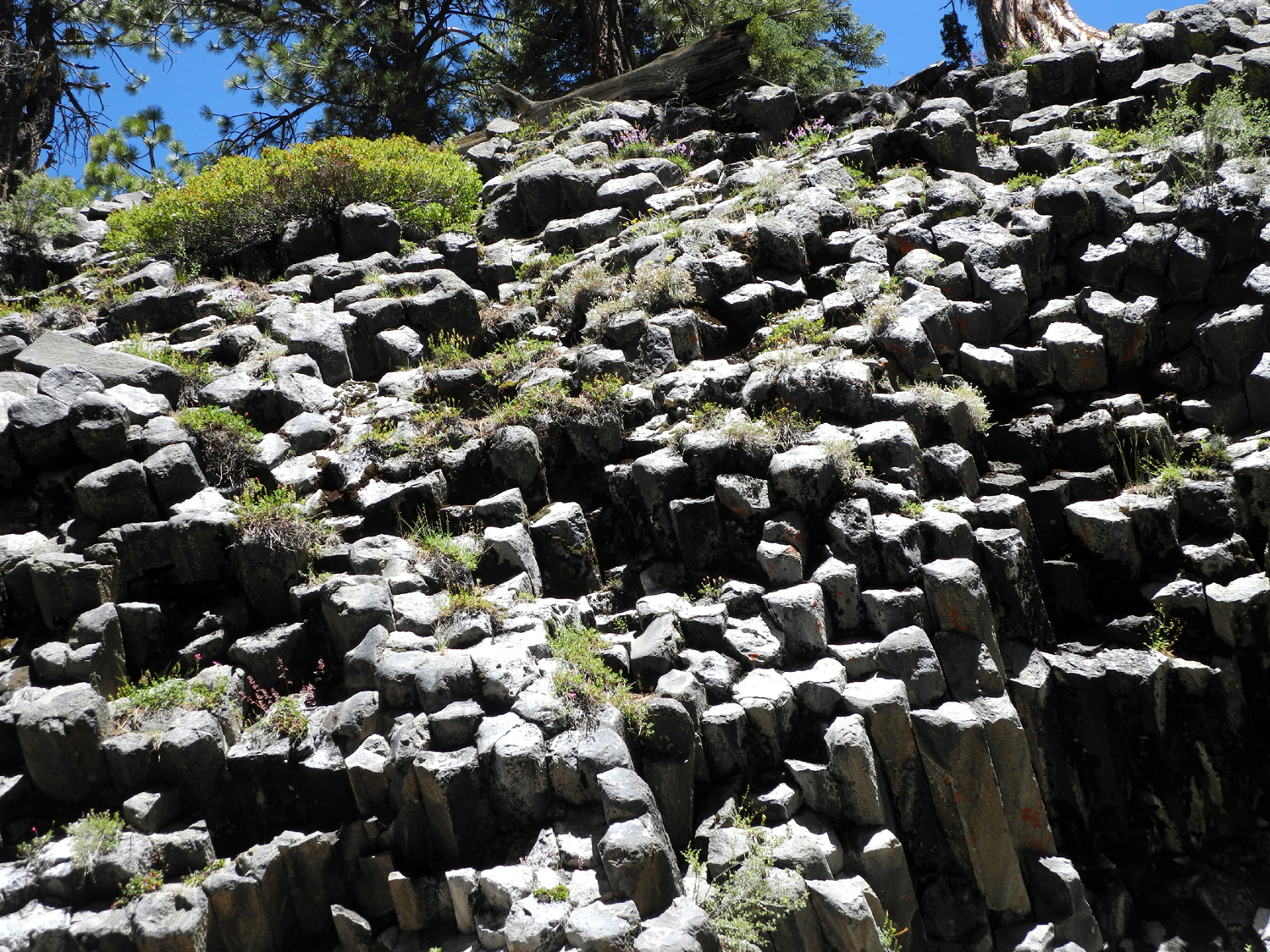
| The Devils Postpile | Broken posts in front of the formation | Max and Mikie on the fallen posts | |
 |
 |
 |
|
| On the southern end of the area | Another look at the southern end | Meadow and Middle Fork of the San Joaquin River | |
 |
 |
 |
|
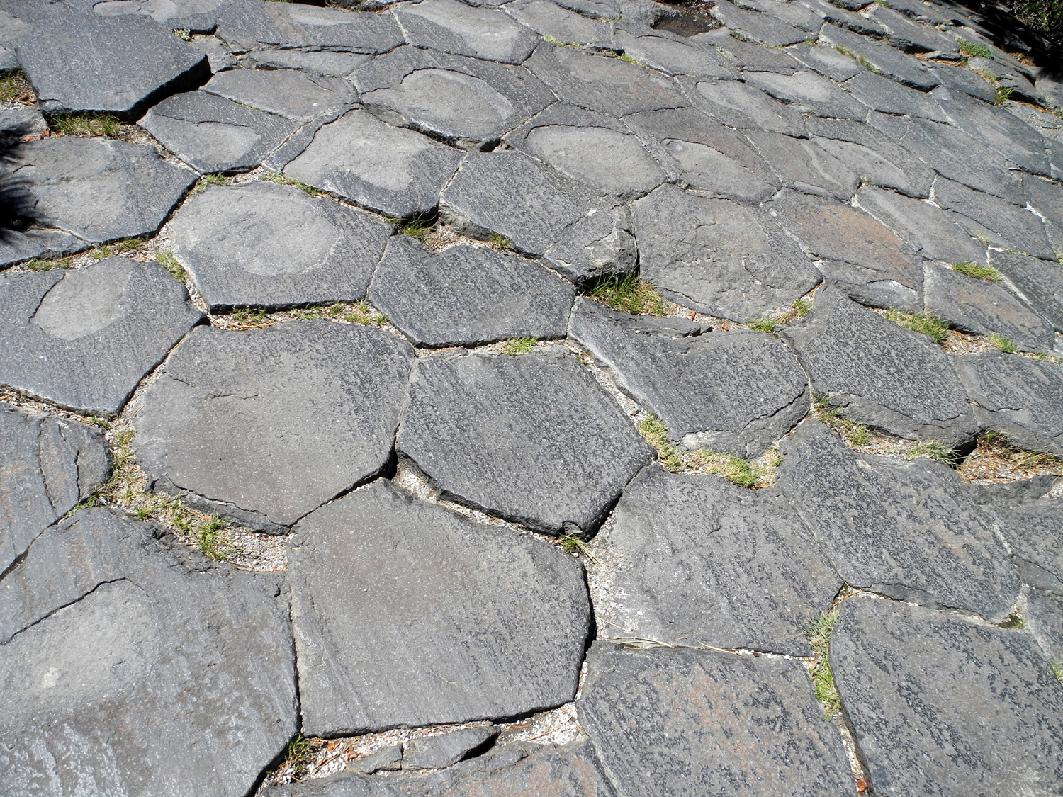
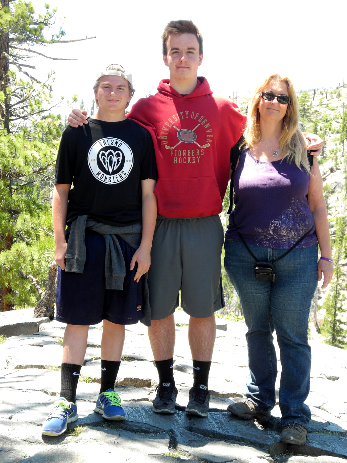
| Polygon shapes of the posts are clearly seen on top of the pile | Max, Mikie and Teri on the top |
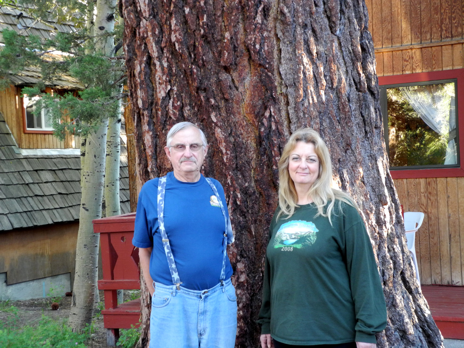
Dick and Teri in front of our giant Jeffrey Pine |
|
 |
 |
 |
|
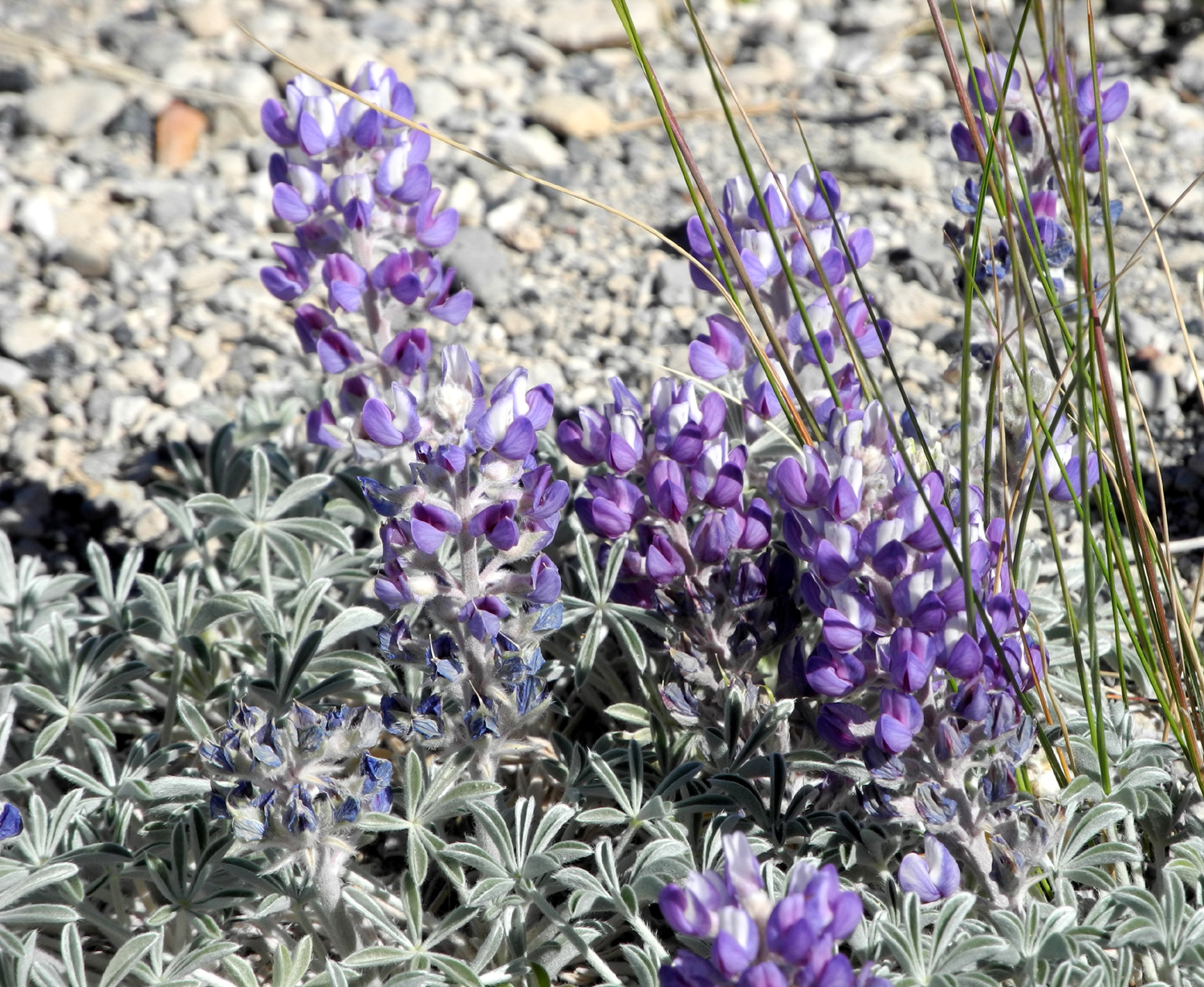
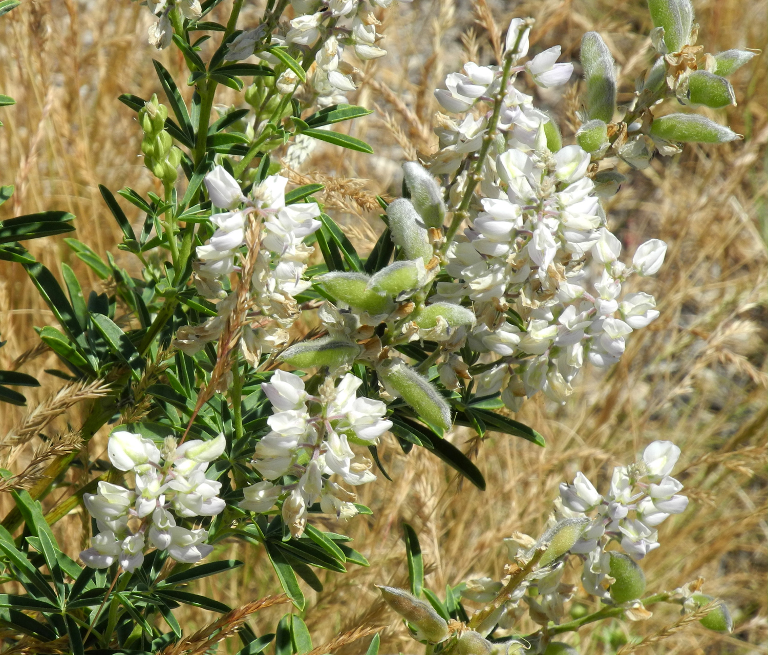
| A last look at the Sierra along State Highway 120 | Lupines by Highway 120 | Heading into Benton and Benton Hot Springs | |
 |
|||
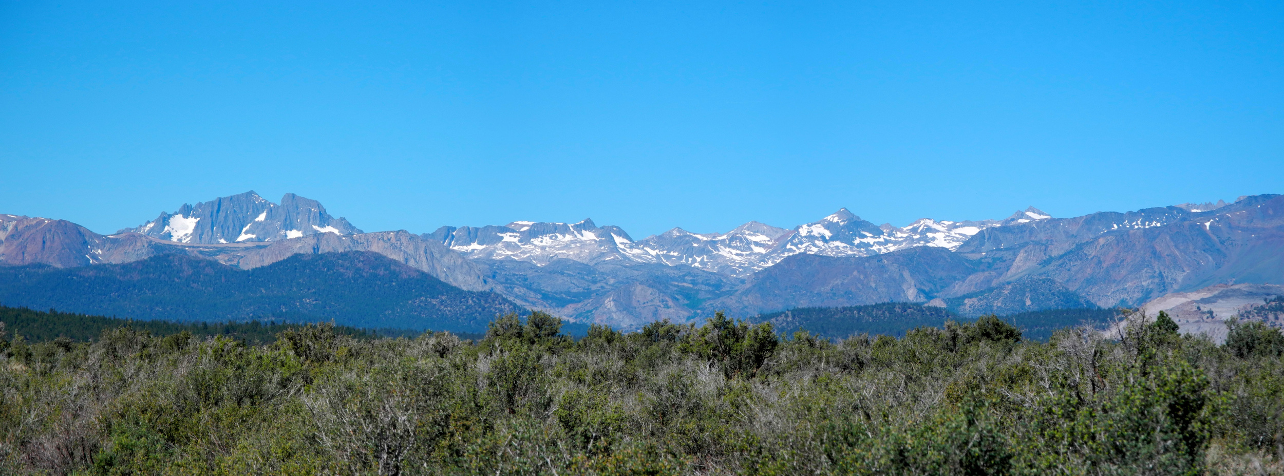
| Eastern Sierra from State Highway 120 | |||
 |
|||
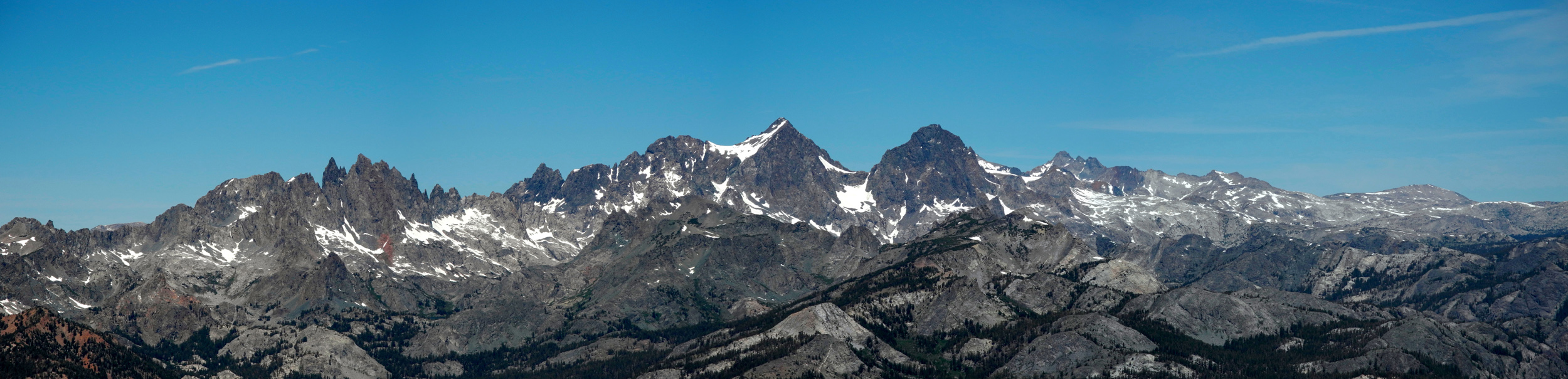
| Panoramic view of the Minarets | |||
|
Nevada & Great Basin National Park |
|||
 |
 |
|
|
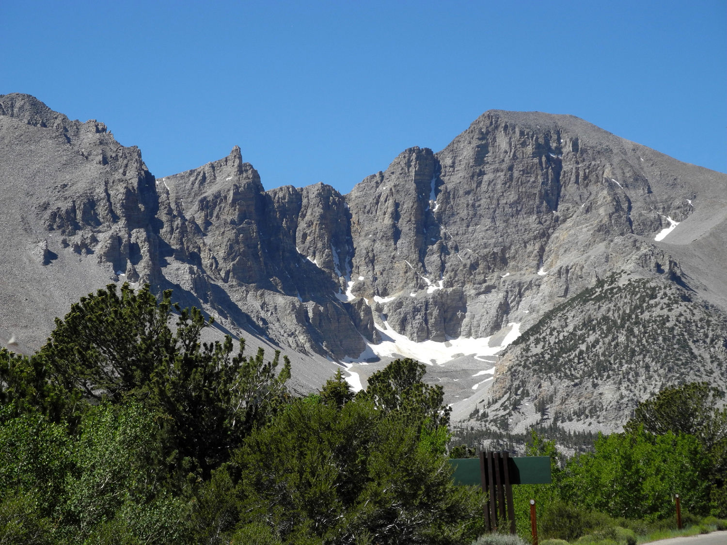
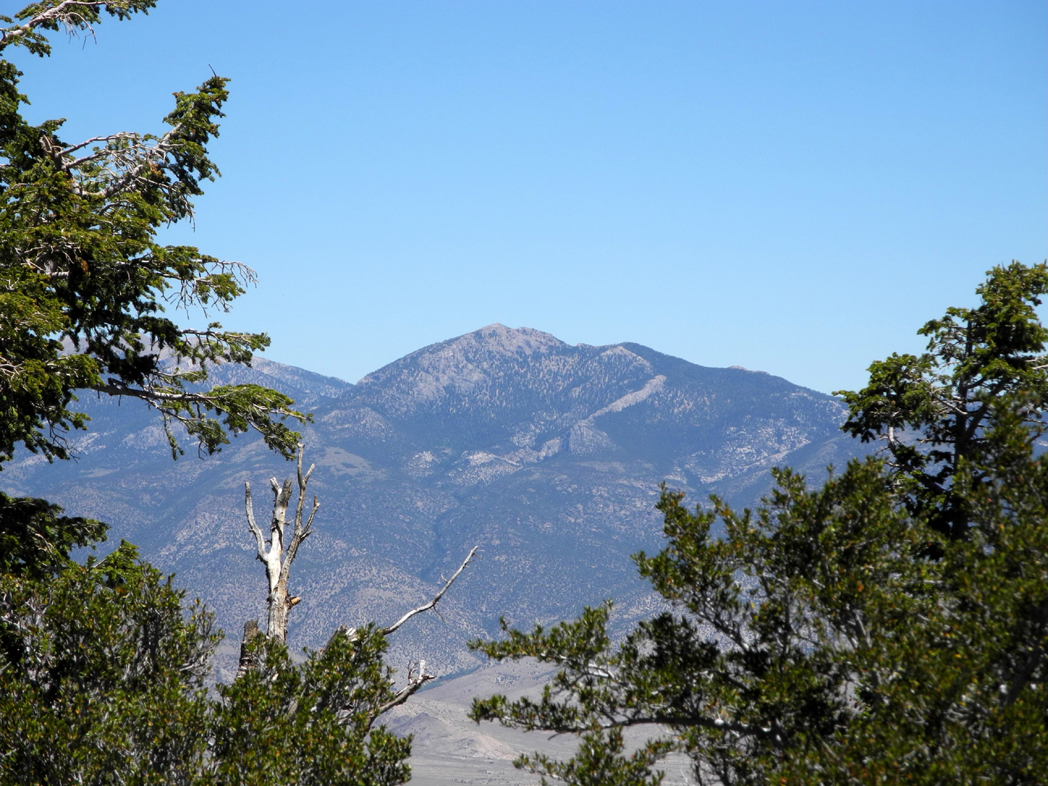
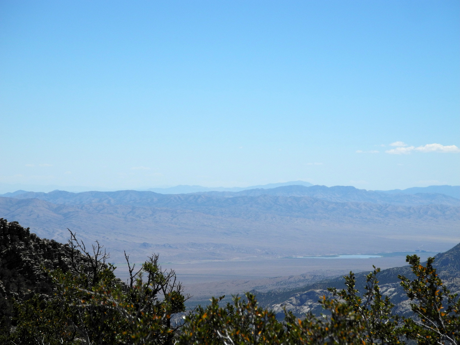
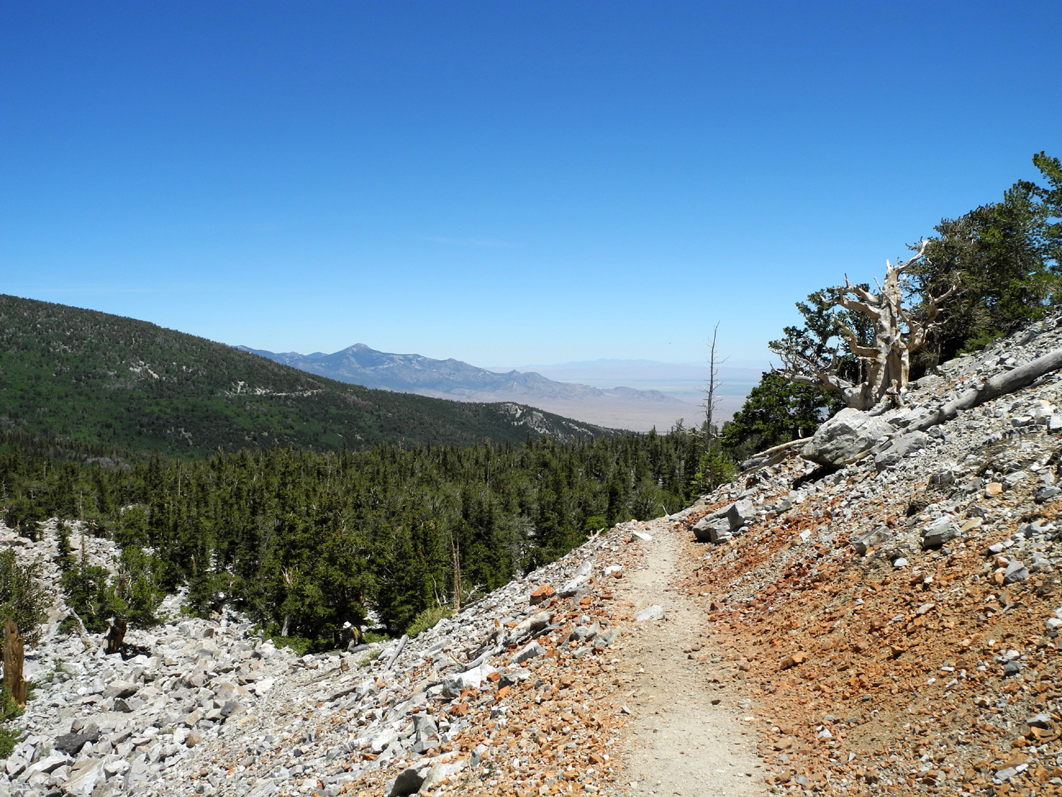
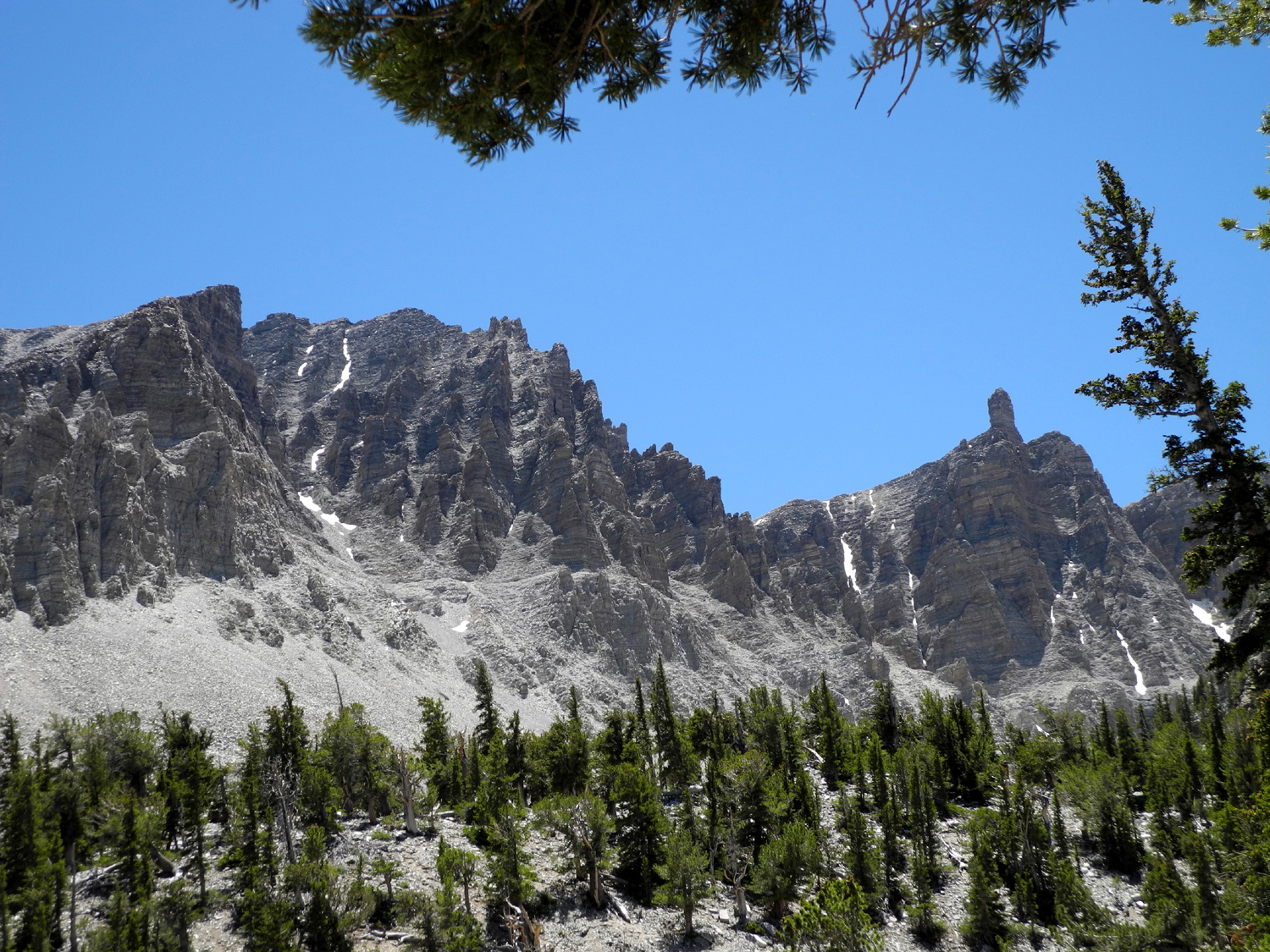
| The Snake Valley below Great Basin National Park | Juniper, piñon and mountain mahogany | Wheeler Peak in Great Basin National Park | |
 |
 |
 |
|
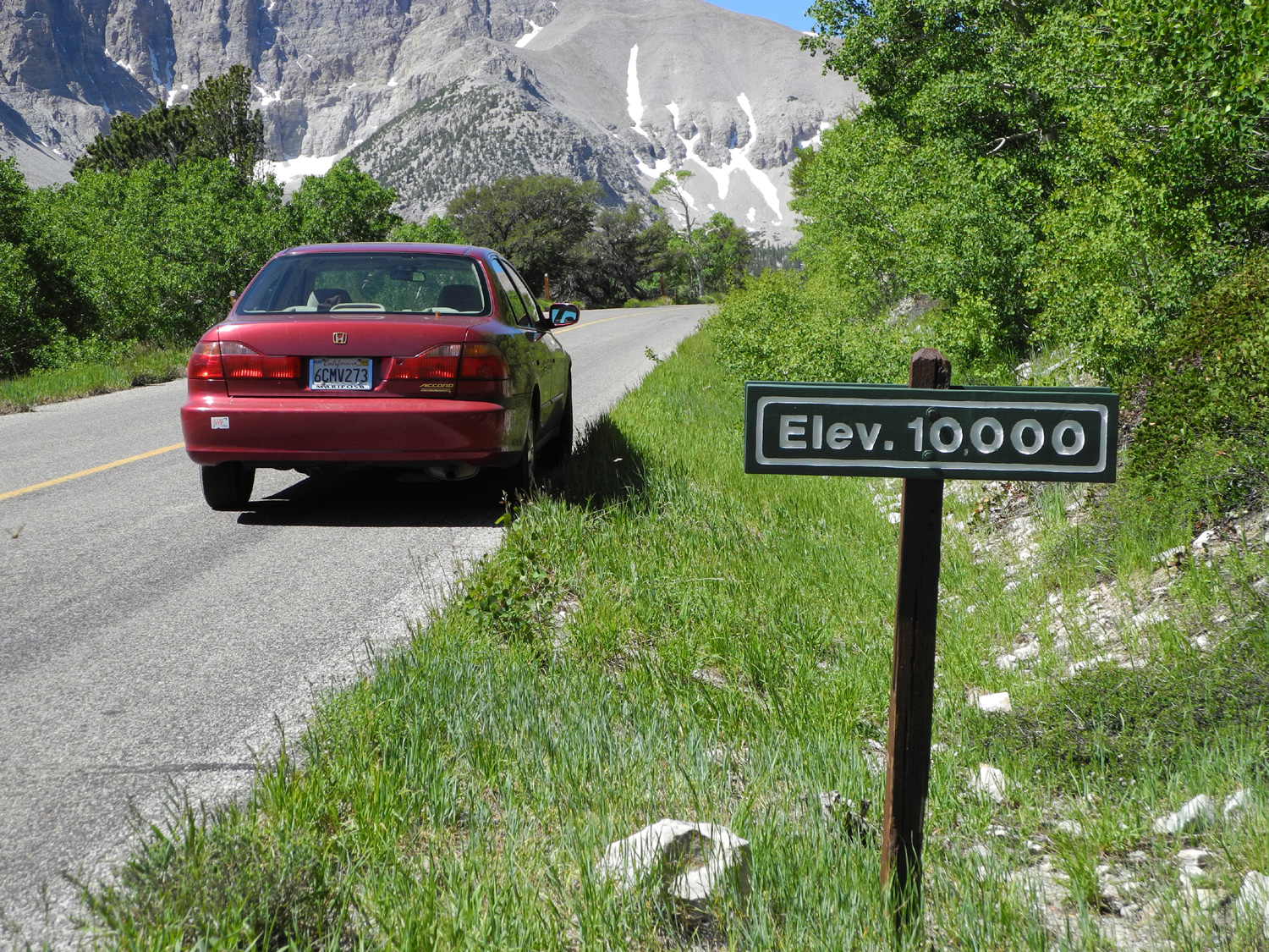
| The right way to get high |
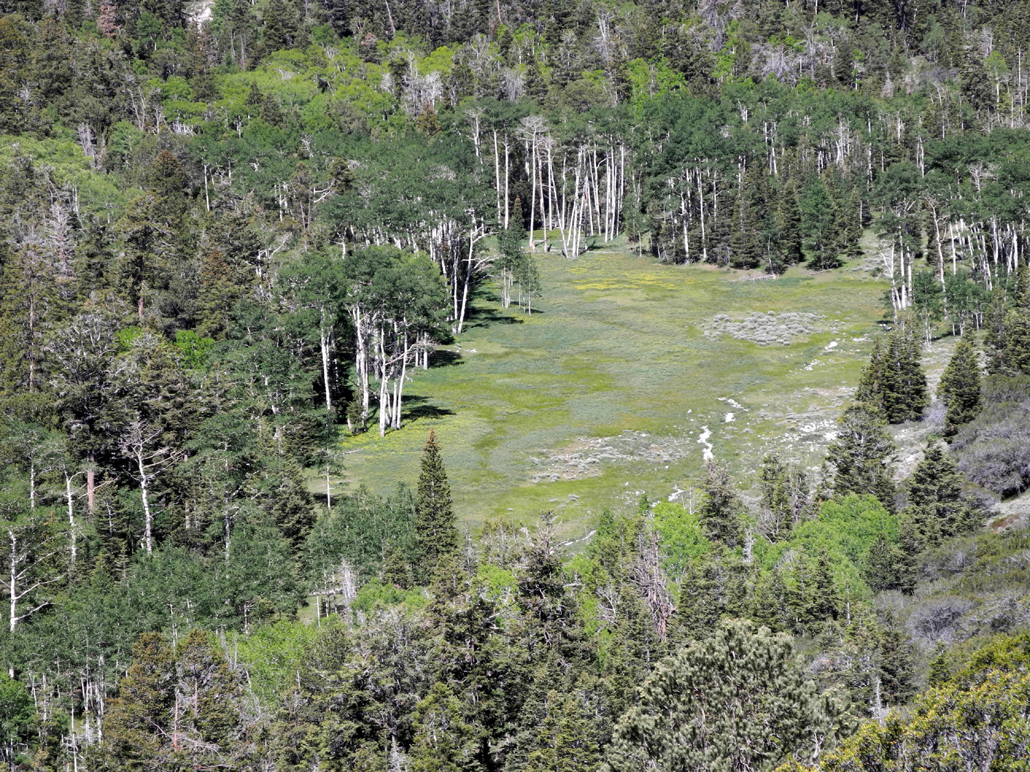
Aspens at the highest point on the road |
Mountains north of the park | |
 |
 |
 |
|
| Meadow below Mather Overlook | Snake Valley from the upper part of the park | A bit of whimsy along the road into the park | |
 |
 |
 |
|
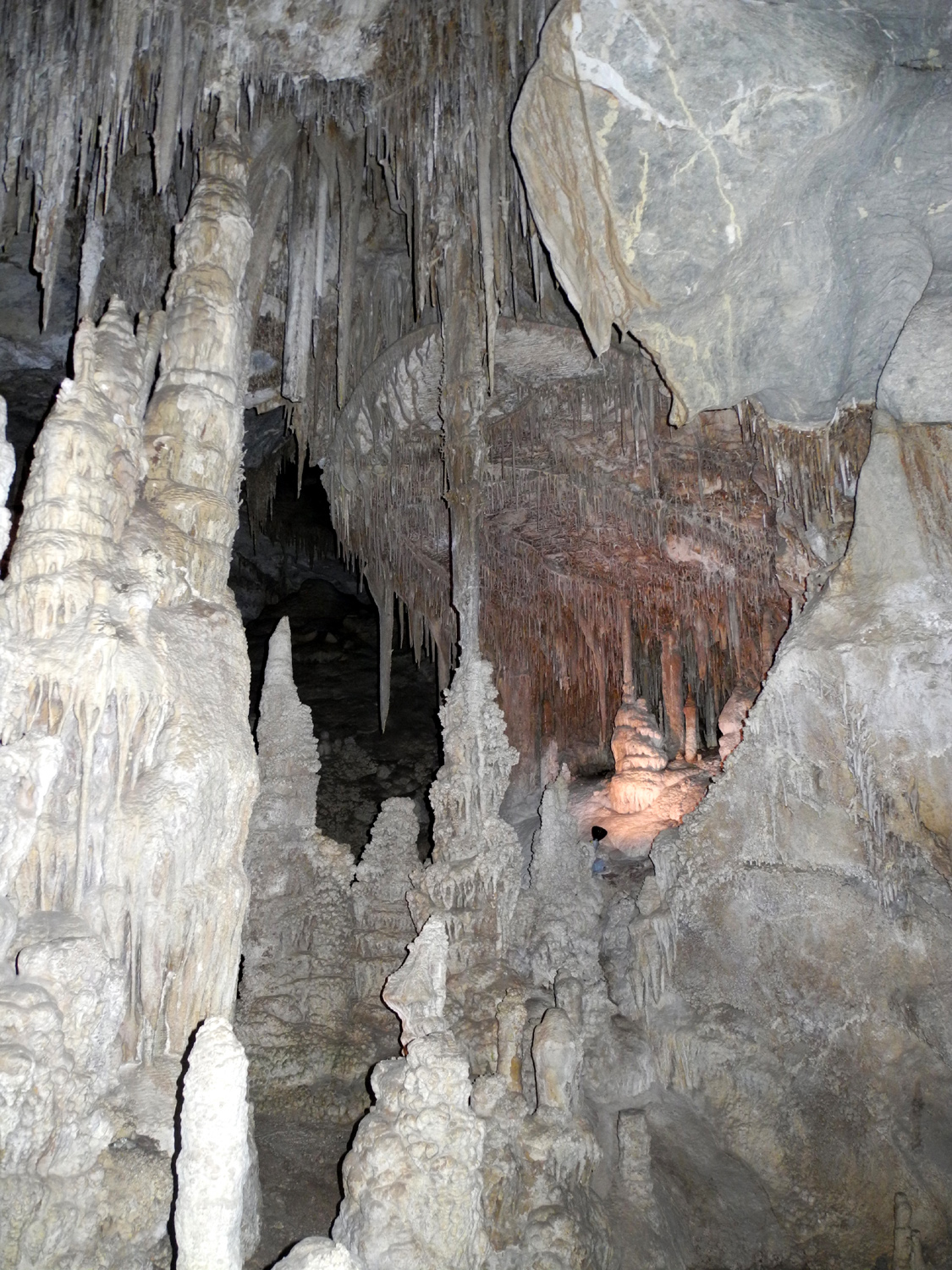
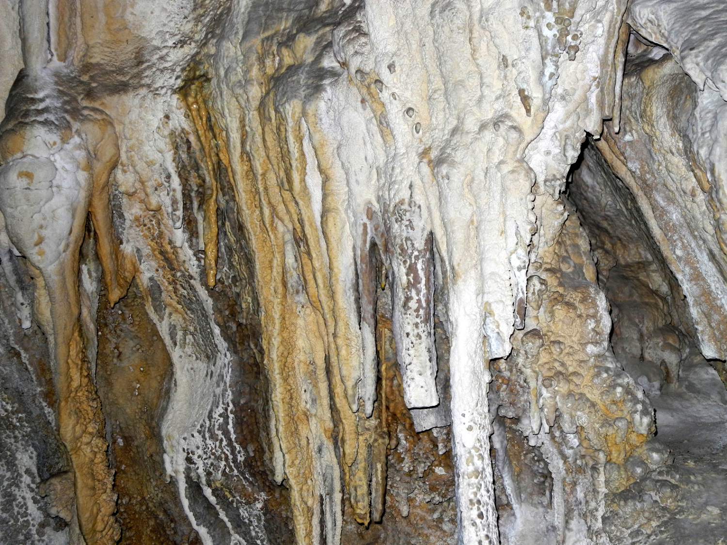
| Cliff Rose | Inside Lehman Cave | Another scene in the cave | |
 |
 |
 |
|
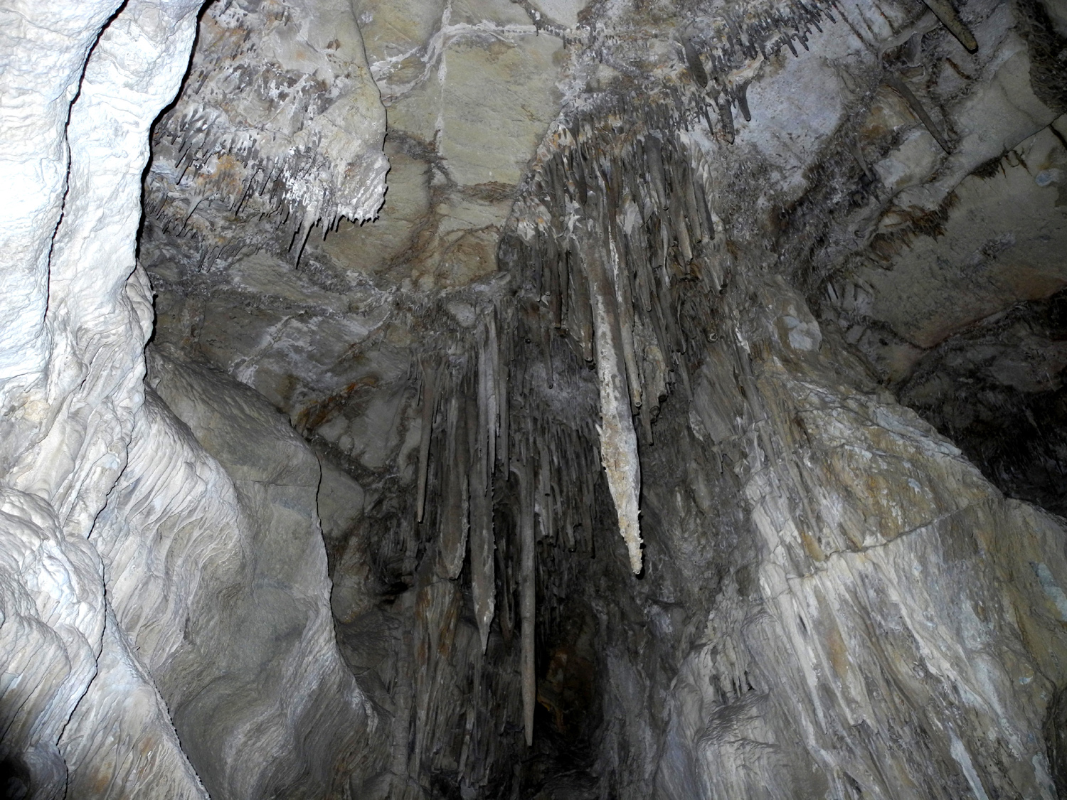
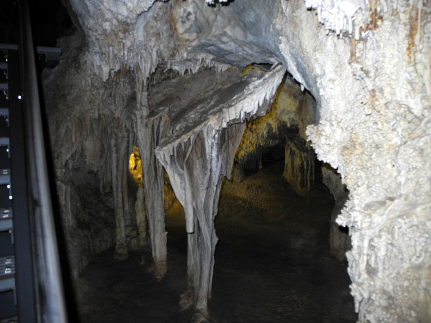
| More cave views | |||
 |
 |
||
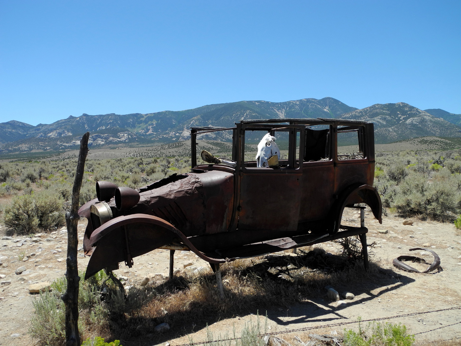
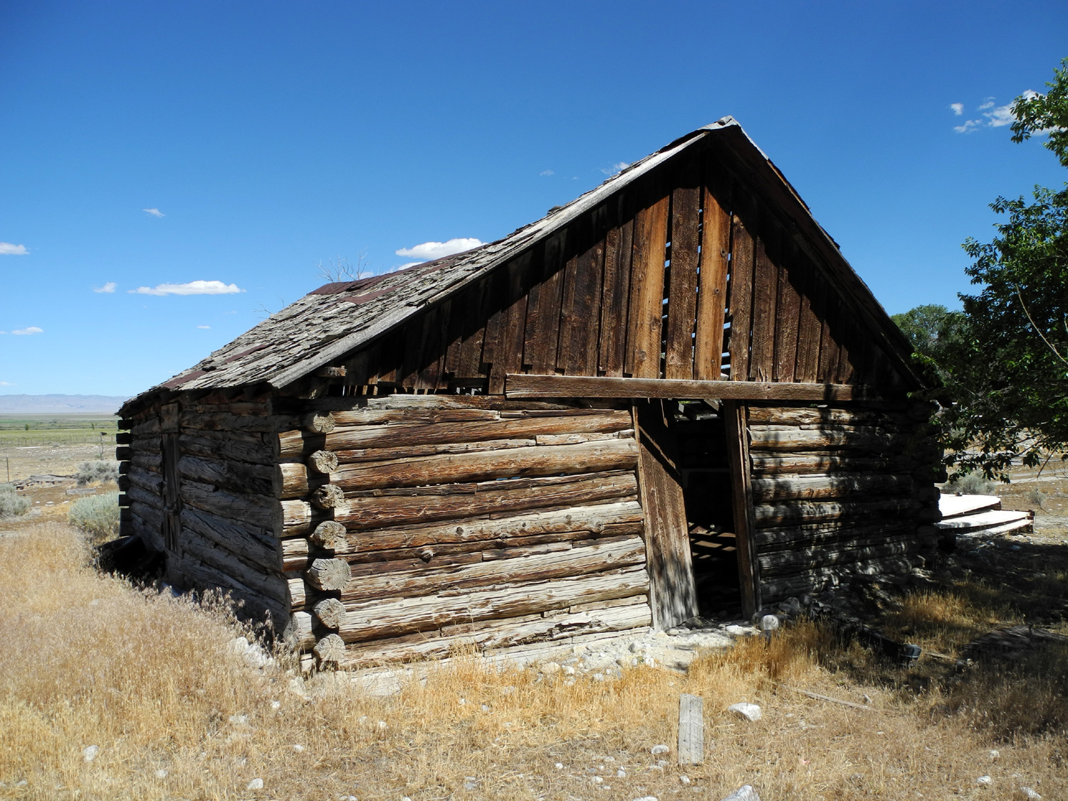
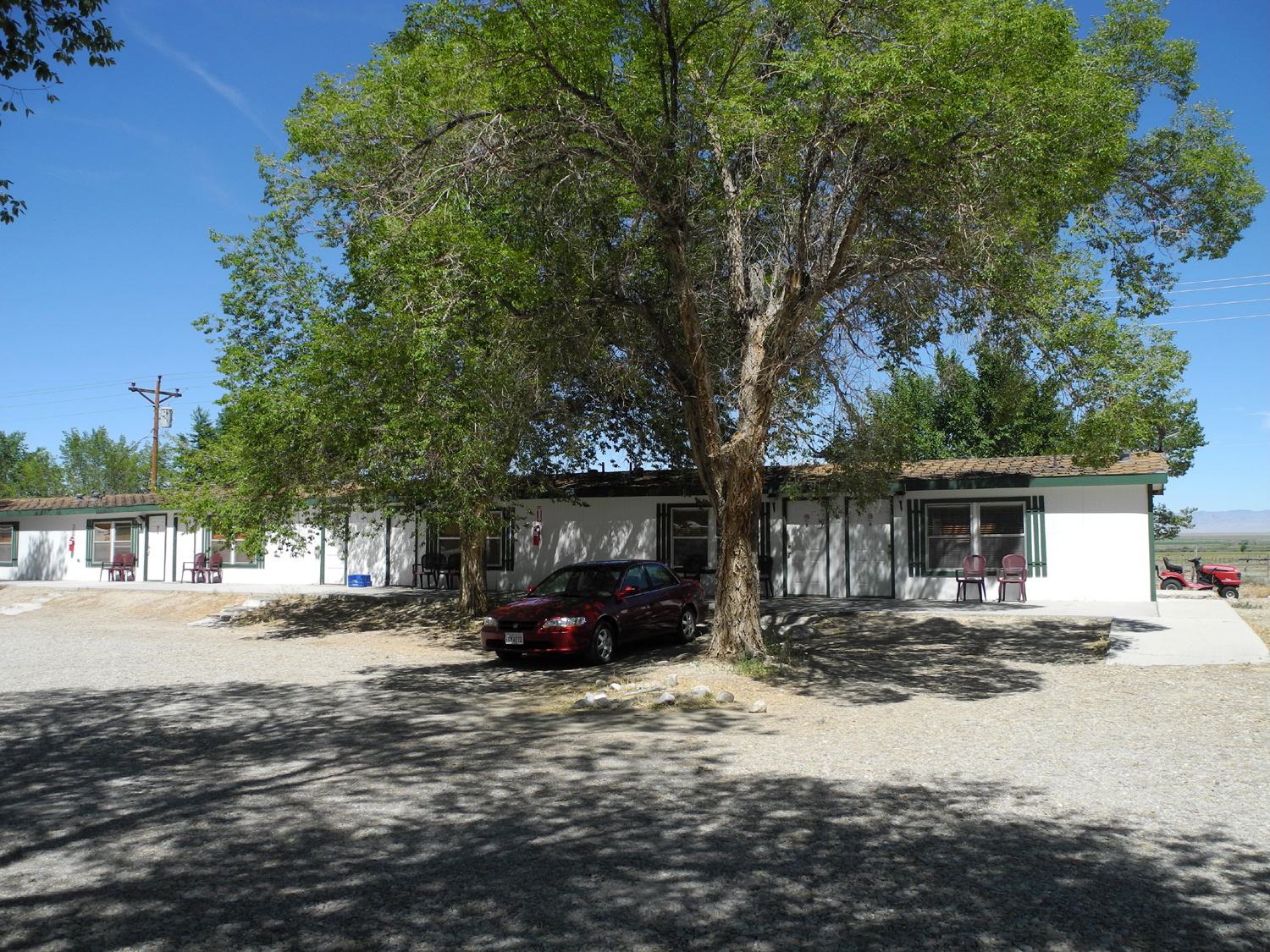
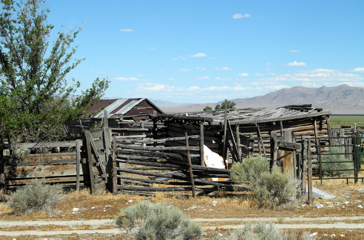
| One of many old log structures around Baker, NV | The palatial Whispering Elms Hotel in Baker | ||
 |
|||
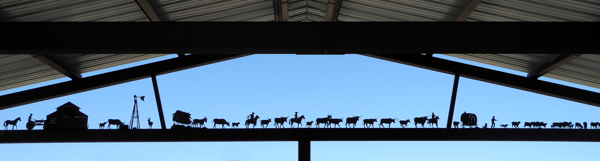
| Figures at the ranching exhibit | |||
 |
|
 |
|
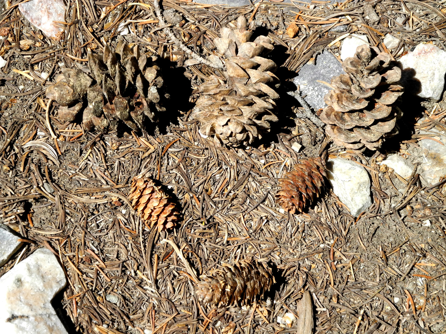
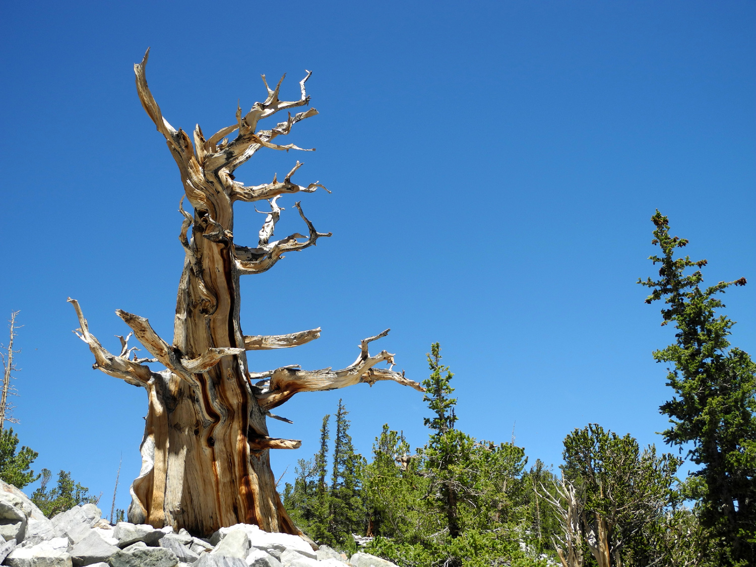
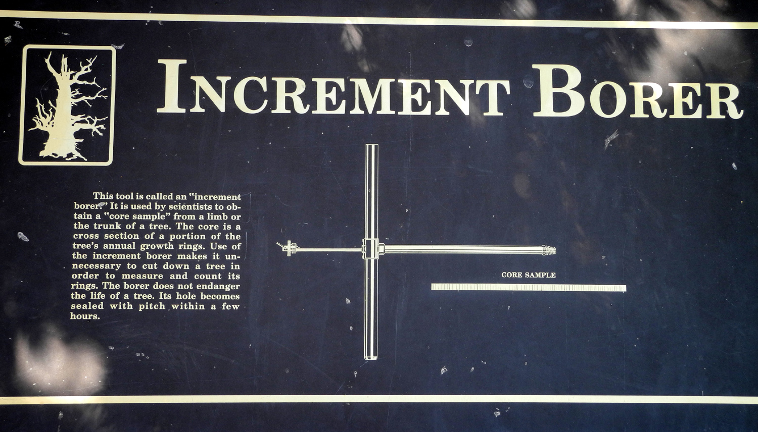
| Limber pine cones at back, and Engleman spruce in front | This dead bristlecone stands like a sentinel at the edge of the grove | Tool used to take borings to determine age of trees | |
 |
 |
 |
|
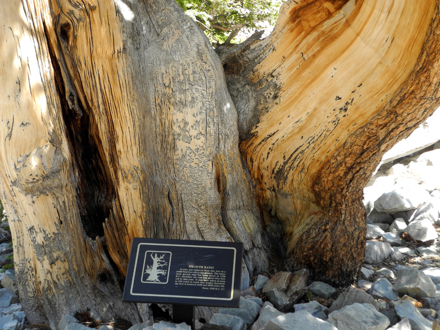
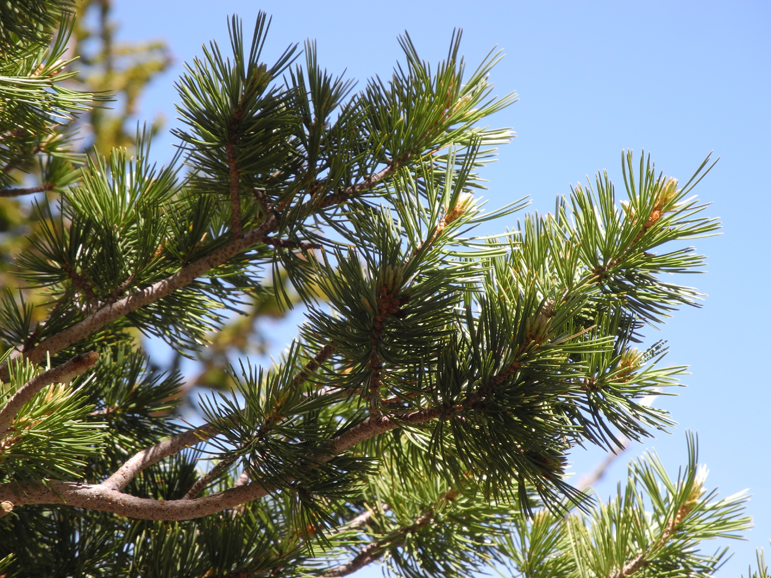
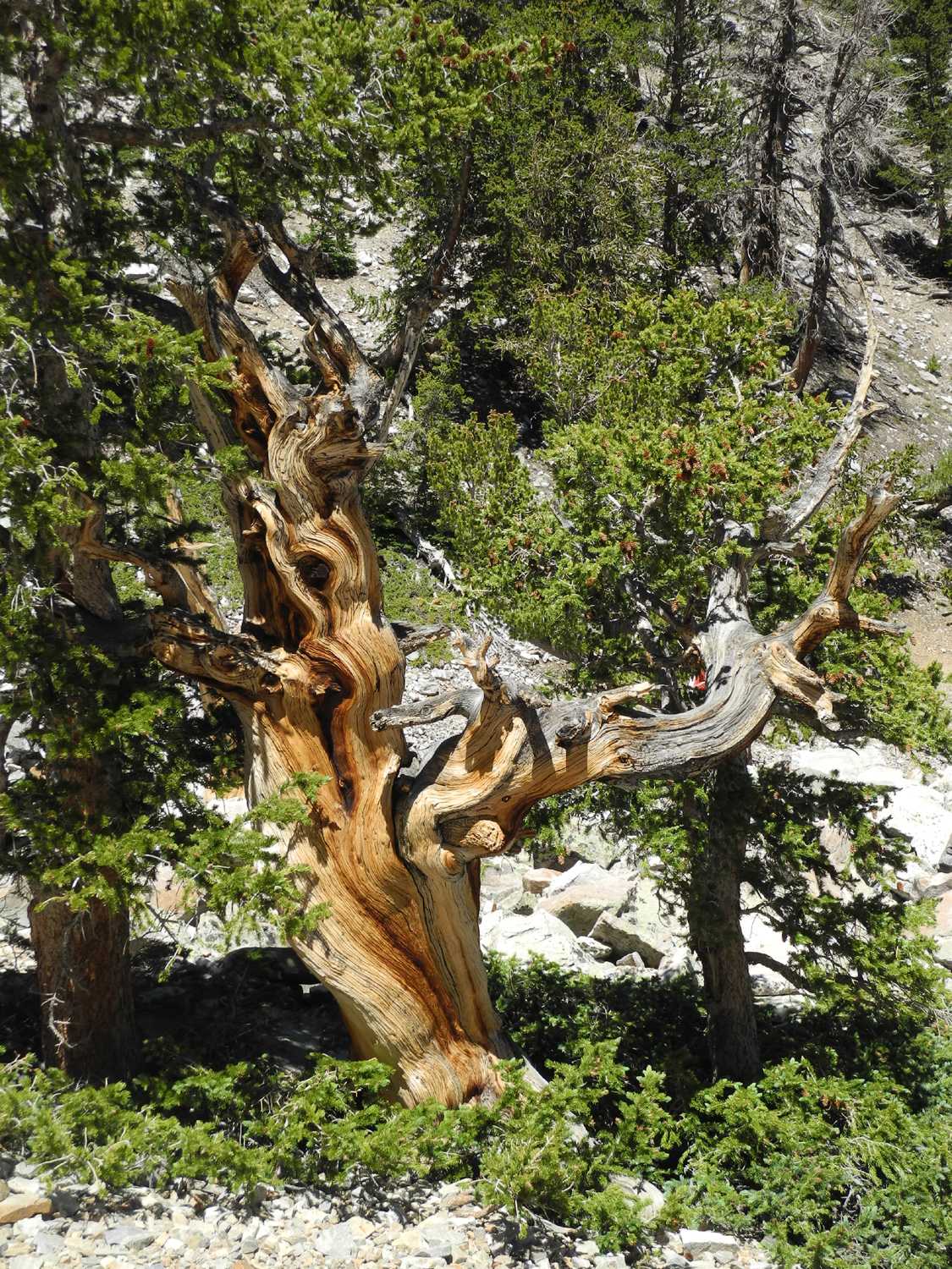
| Base of an ancient bristlecone | Comparison of bristlecone needles... | ...and the looser, lighter limber pine needles | |
 |
 |
 |
|
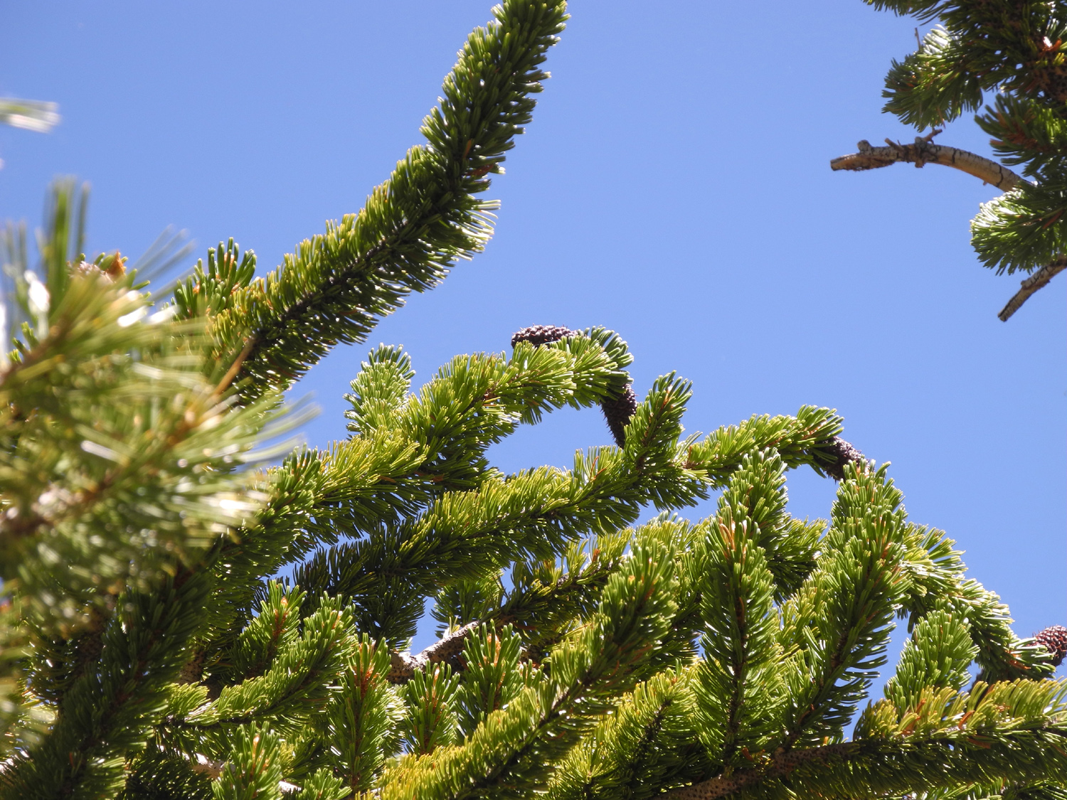
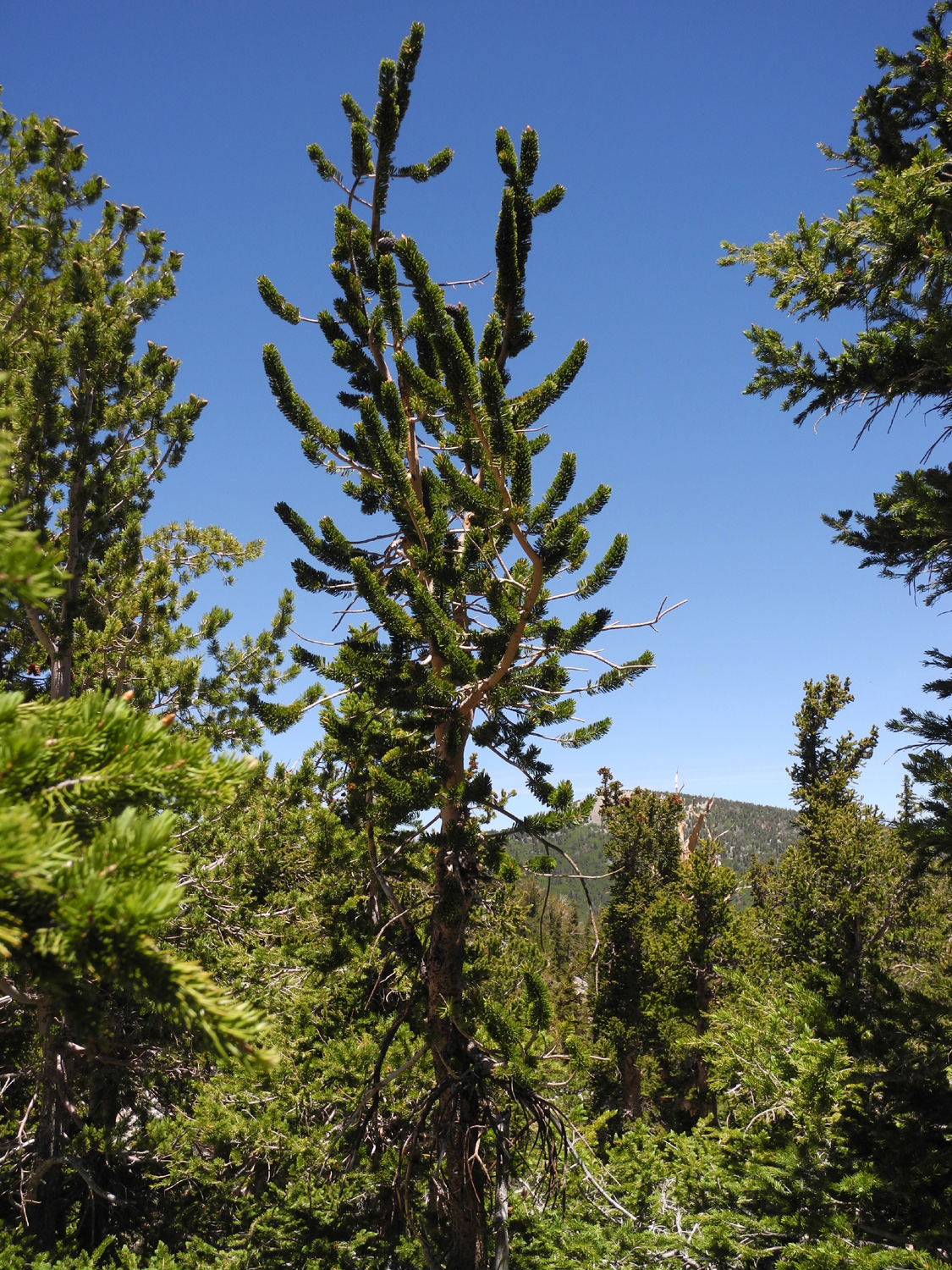
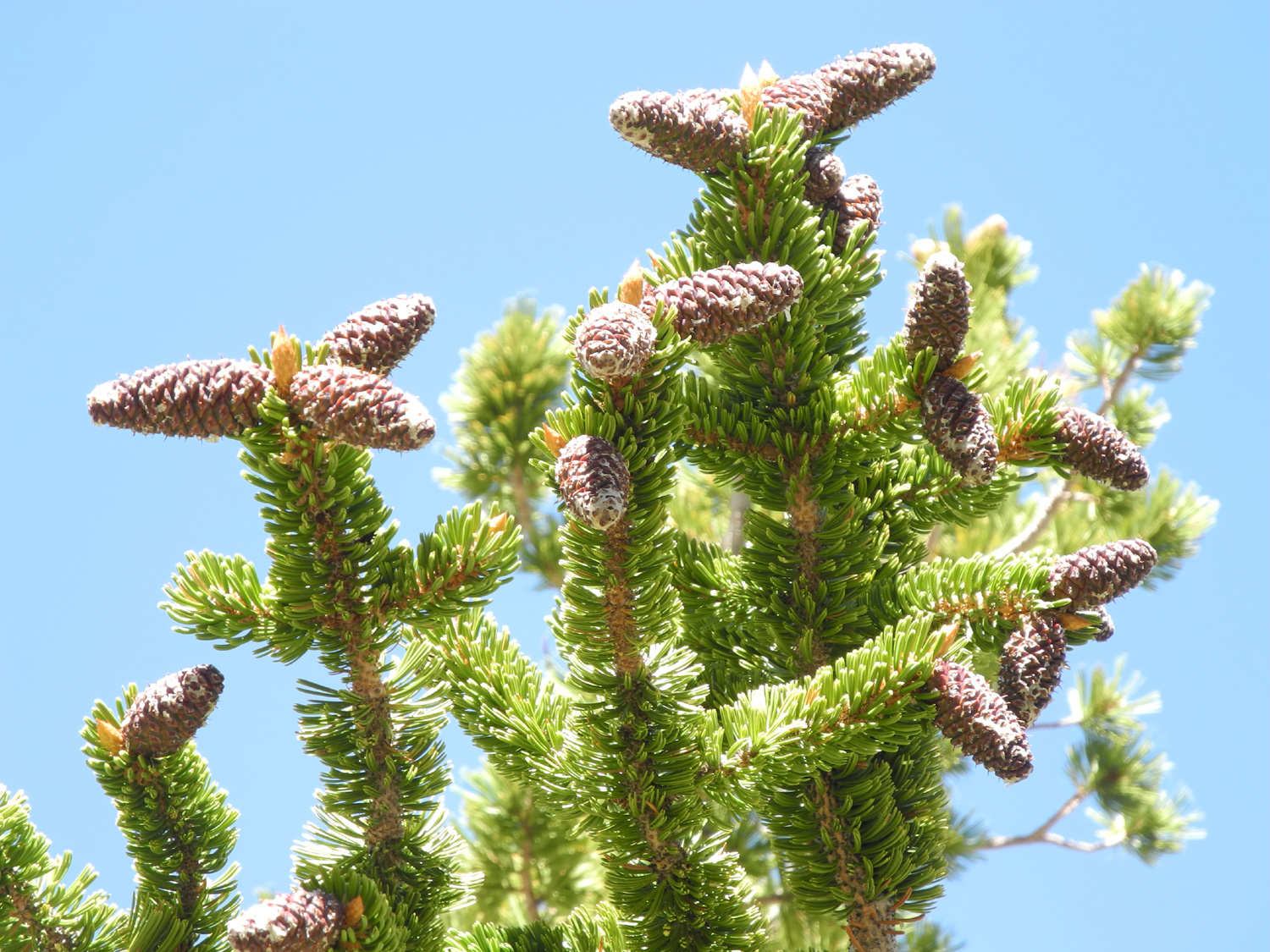
| Only the branch on the left is still living on this patriarch | This young bristlecone, four inches in diameter and 12 feet tall, could be anywhere from 200 to 1,000 years old | A close look at those bristly cones | |
 |
 |
 |
|
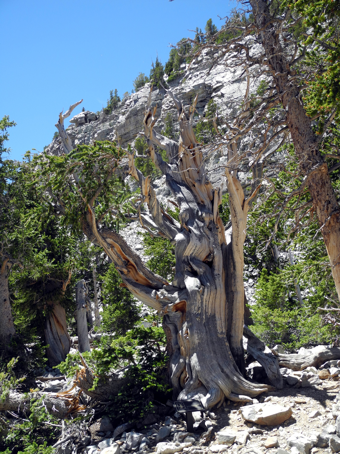
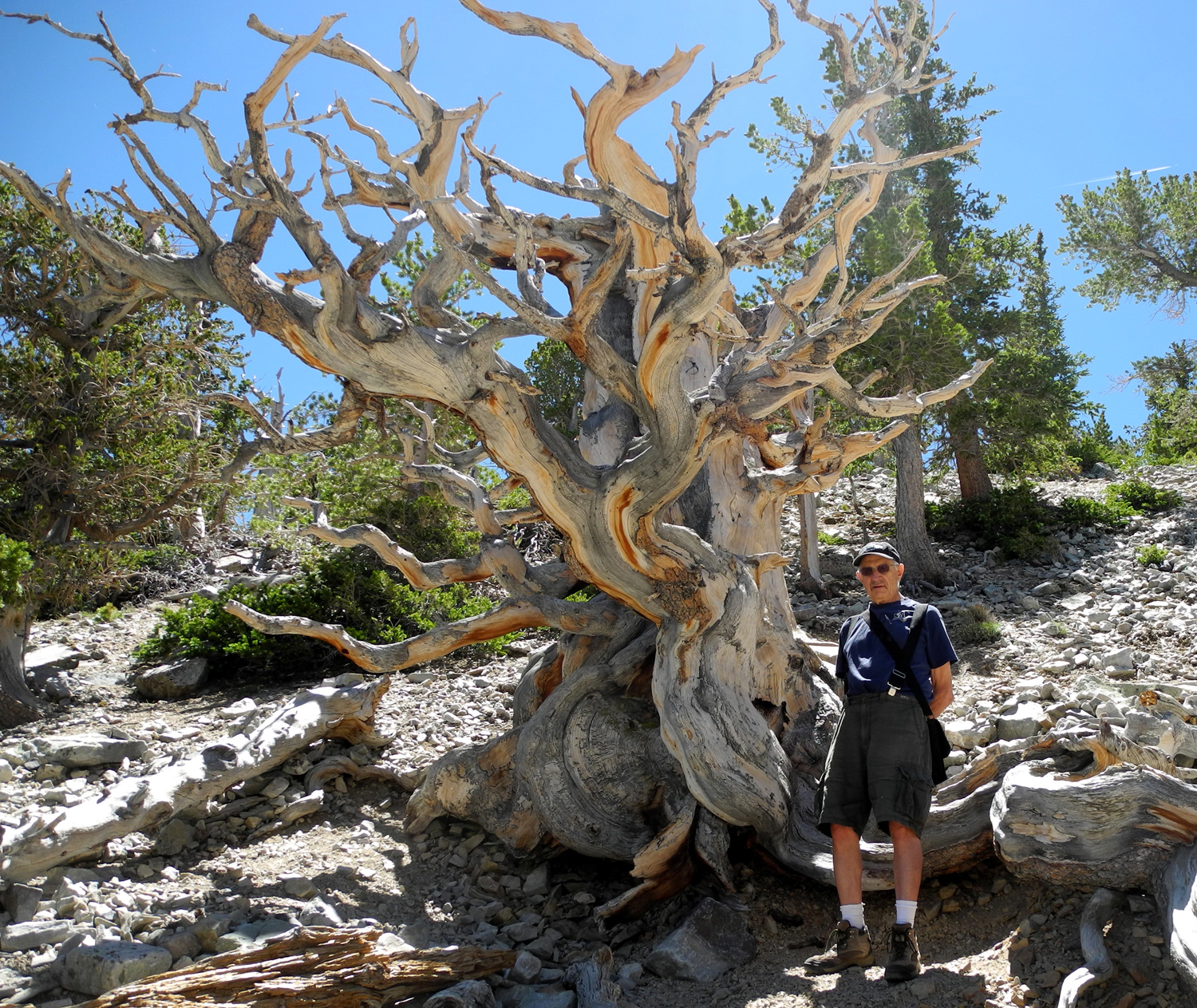
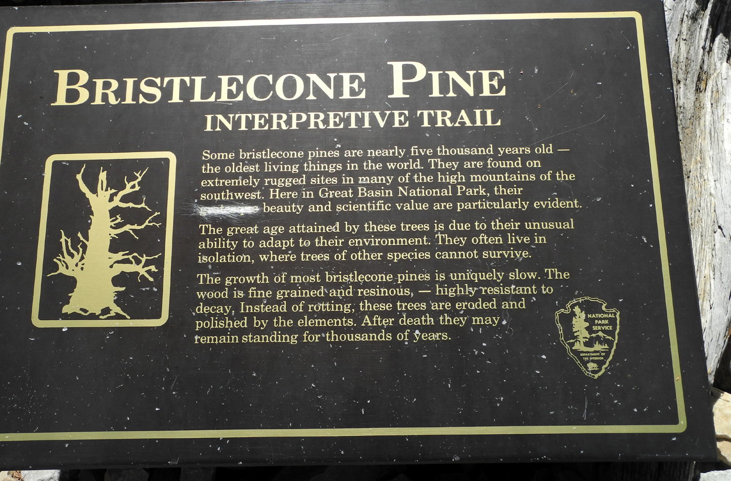
| An especially fine example of nature's sculpture work | Dick next to the Guardian tree | Lots of information about bristlecone pines | |
 |
 |
 |
|
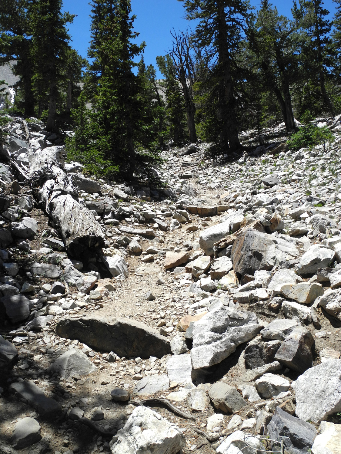
| Yes, this is the trail to the grove | A little smoother section of the trail | Wheeler Peak from the grove | |
 |
 |
 |
|
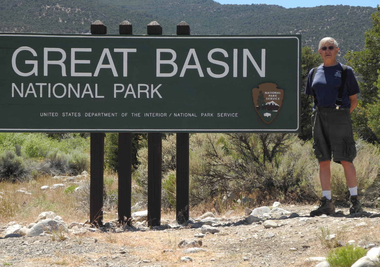
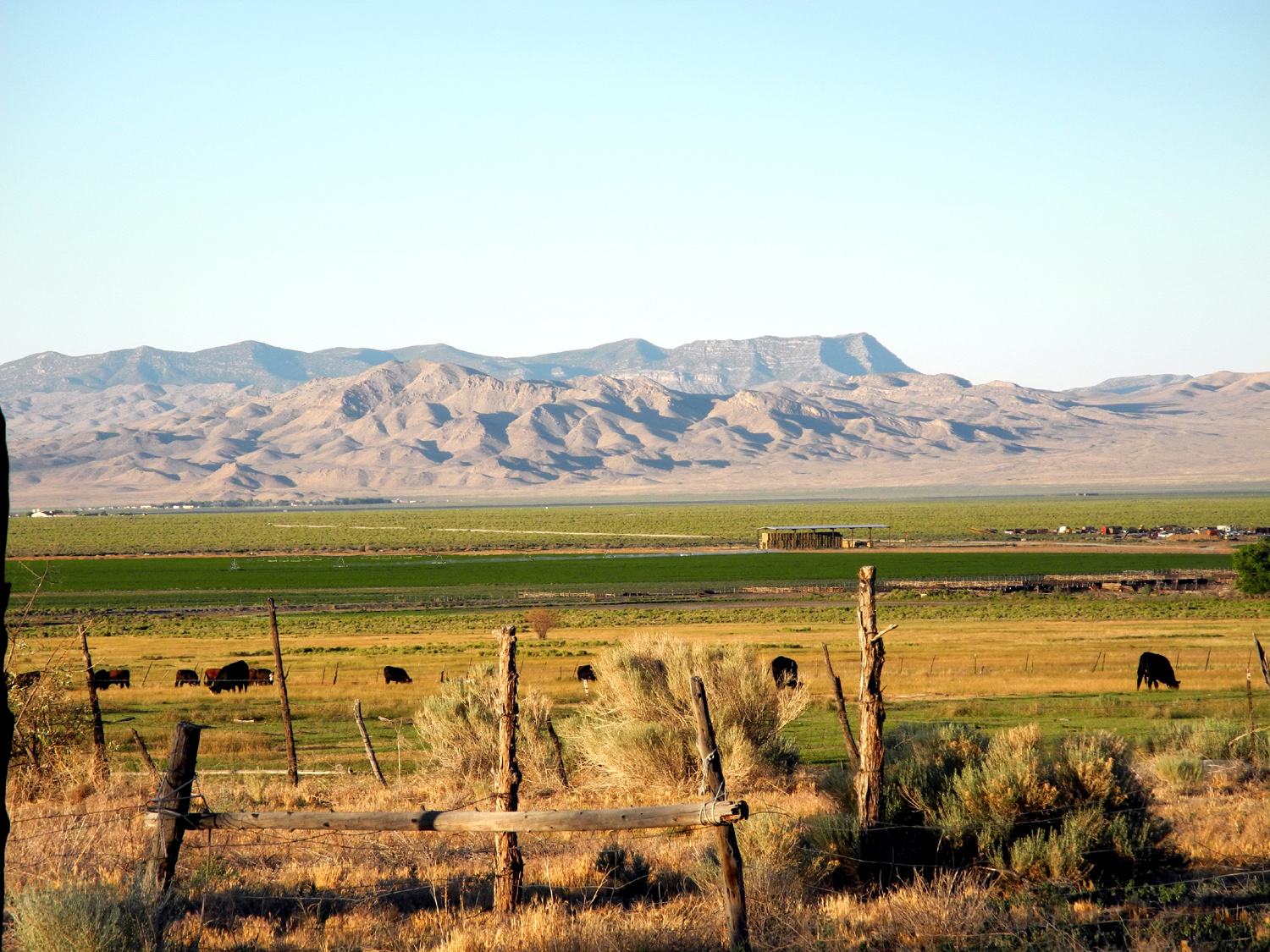
| Dick at the Great Basin sign | Looking east from Baker, NV | Corral and ranch buildings at the edge of Baker | |
 |
 |
 |
|
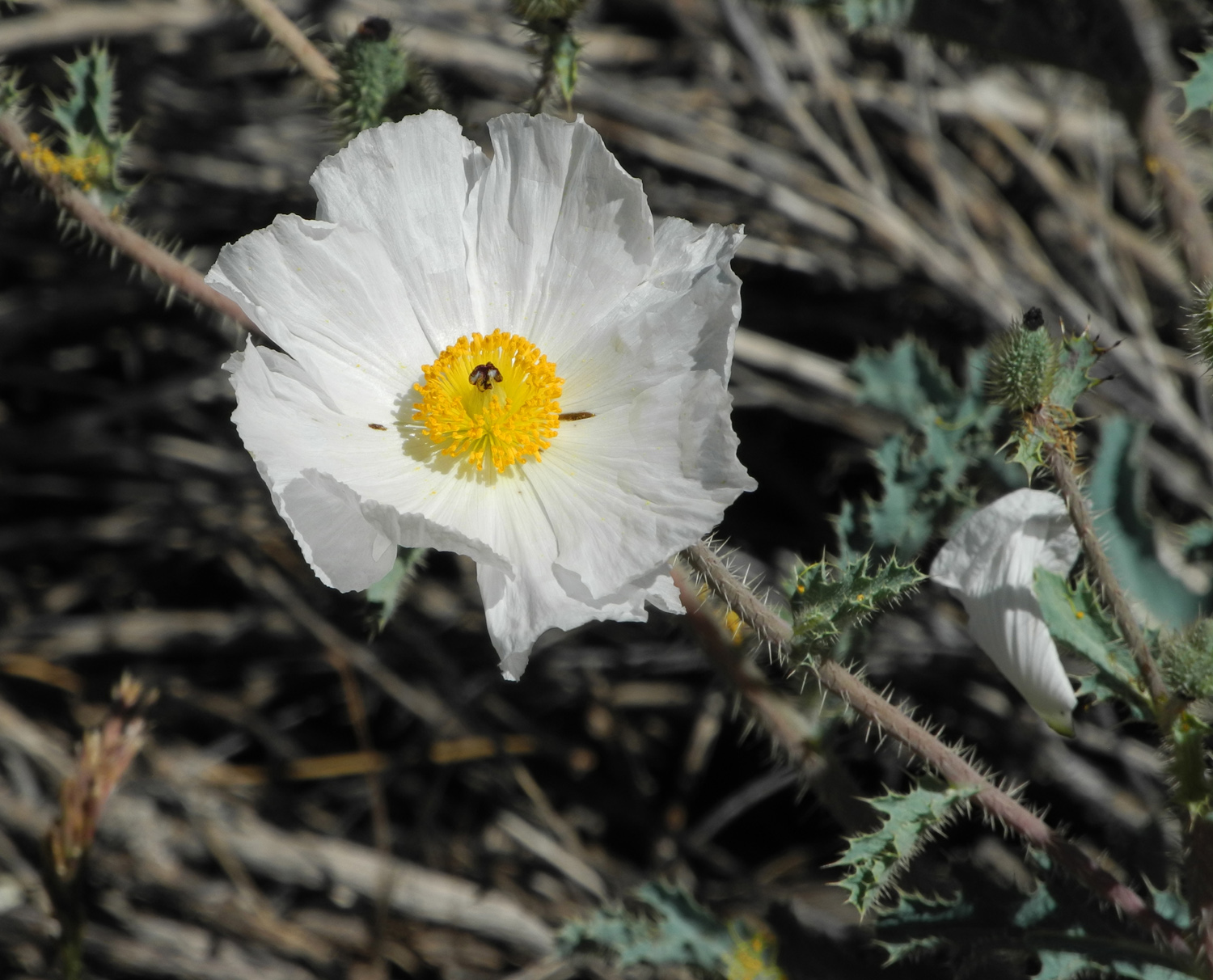
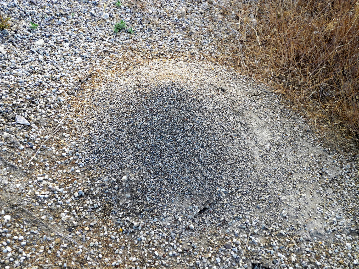
| Inviting flower, spiny foliage marks this as a prickly poppy | Downtown Baker NV | Foot tall ant hill in Baker | |
 |
|||
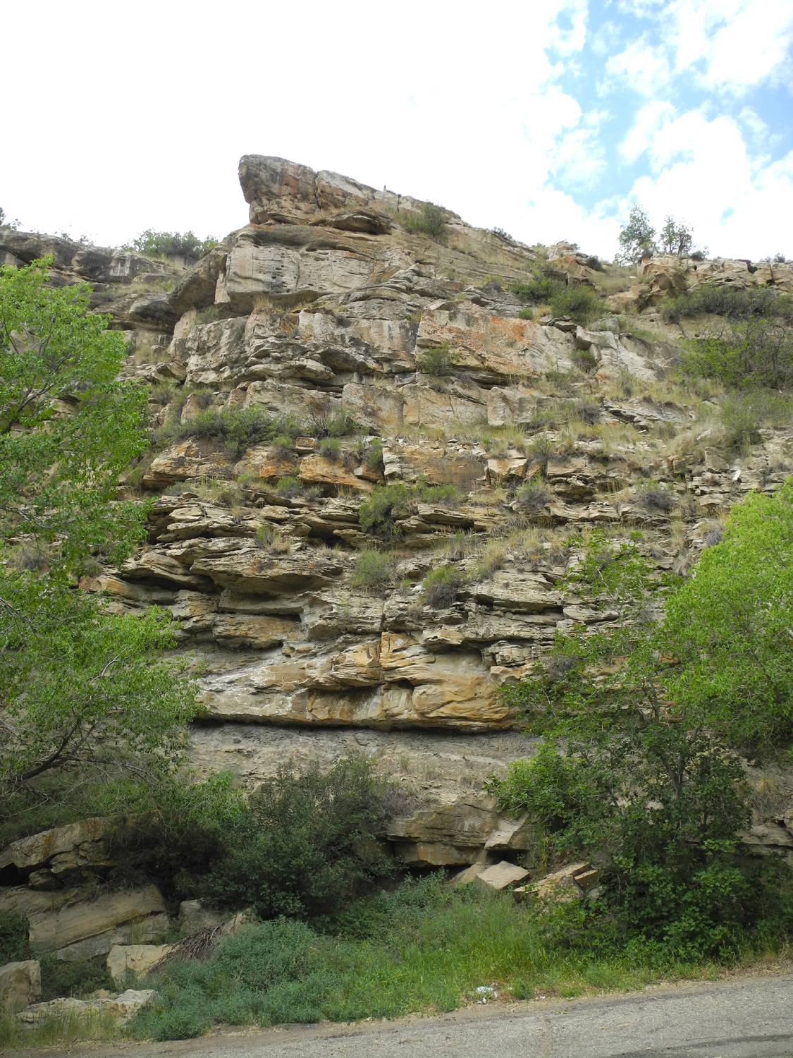
| Rock layers along US 6 in Nevada | |||
 |
|||
| 13,000 foot Wheeler Peak area of Great Basin National Park | |||
| Utah & Dinosaur National Monument | |||
 |
 |
 |
|
| Notch Peak from US 6 just east of the Nevada border | Small plants in the mud flats | Along US 6 in western Utah | |
 |
 |
 |
|
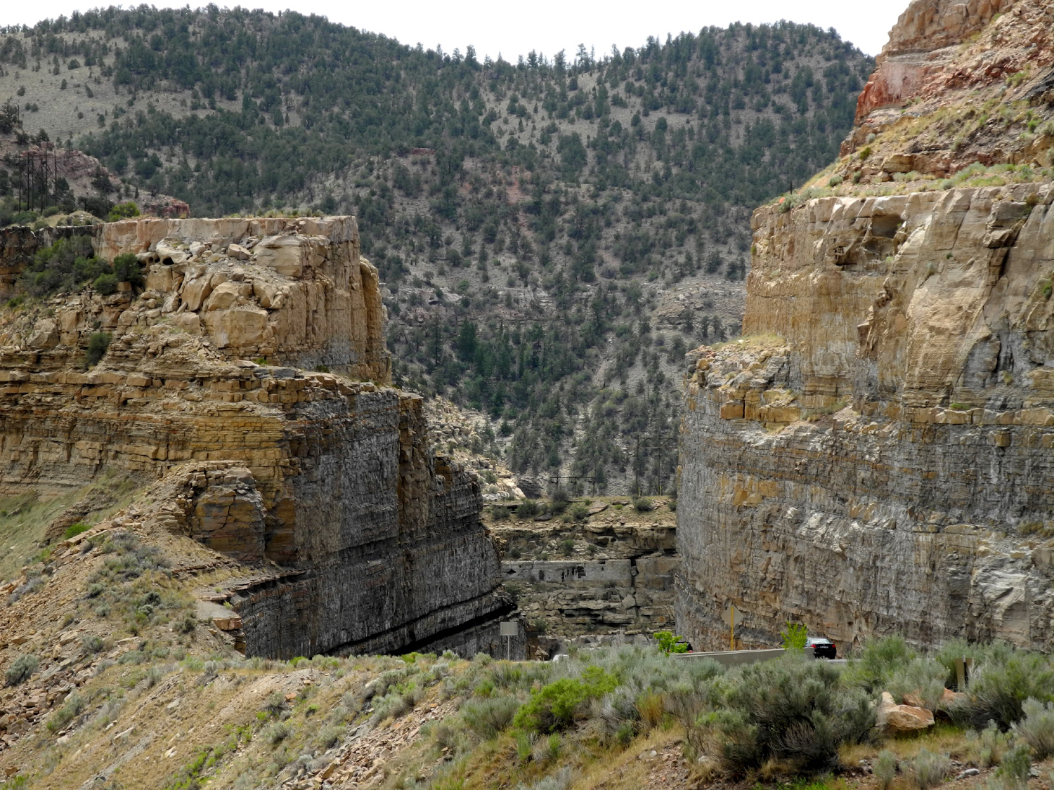
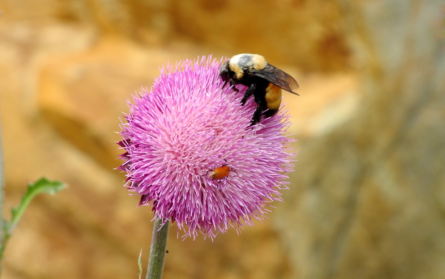
| Rock formations along US 6 | In Price Canyon on US 6 | Bee posing on a thistle blossom | |
 |
 |
 |
|
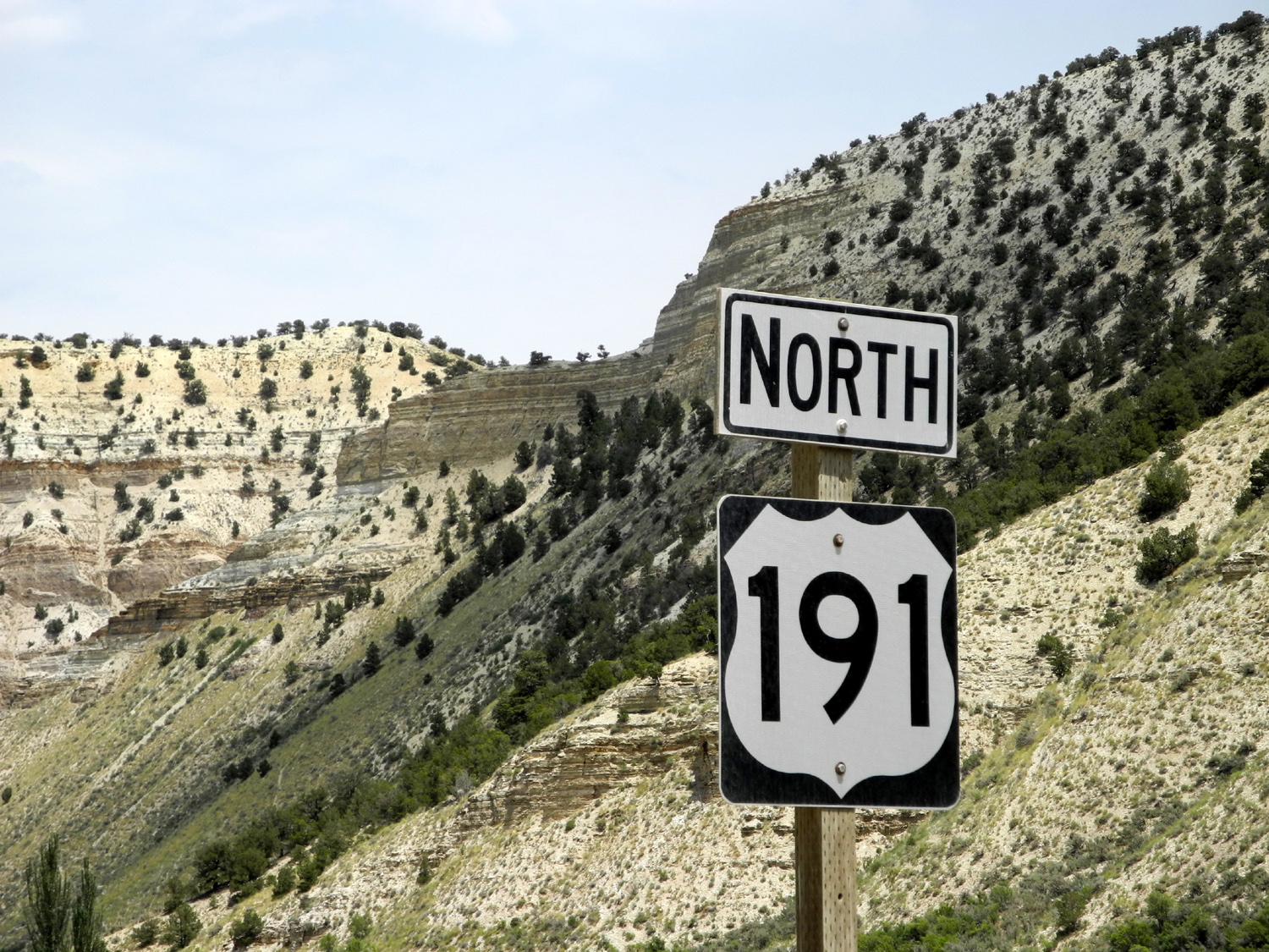
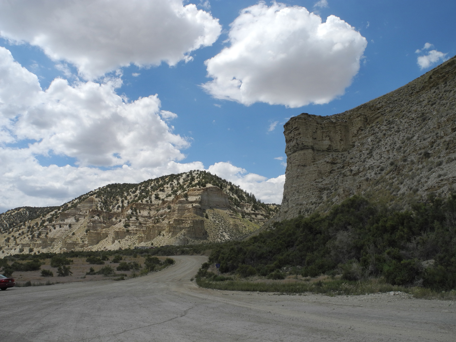
| US 191 between Price Canyon on US 6 and US 40 | Along US 191 | Irrigated land in the valley along US 191 | |
 |
 |
 |
|
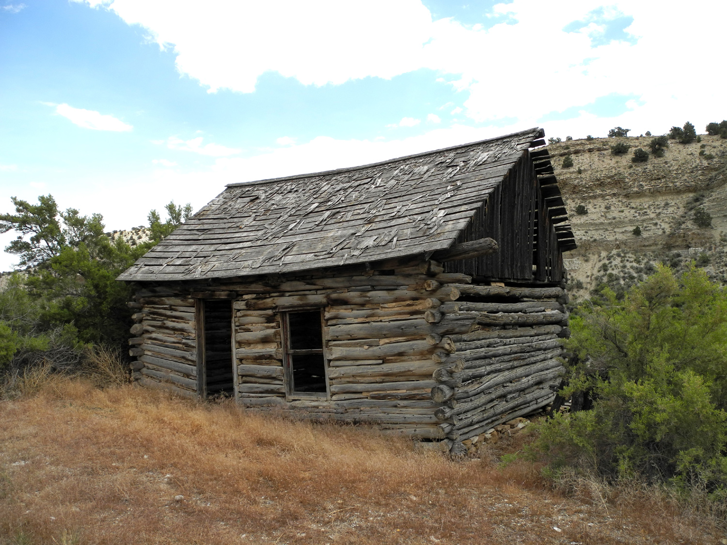
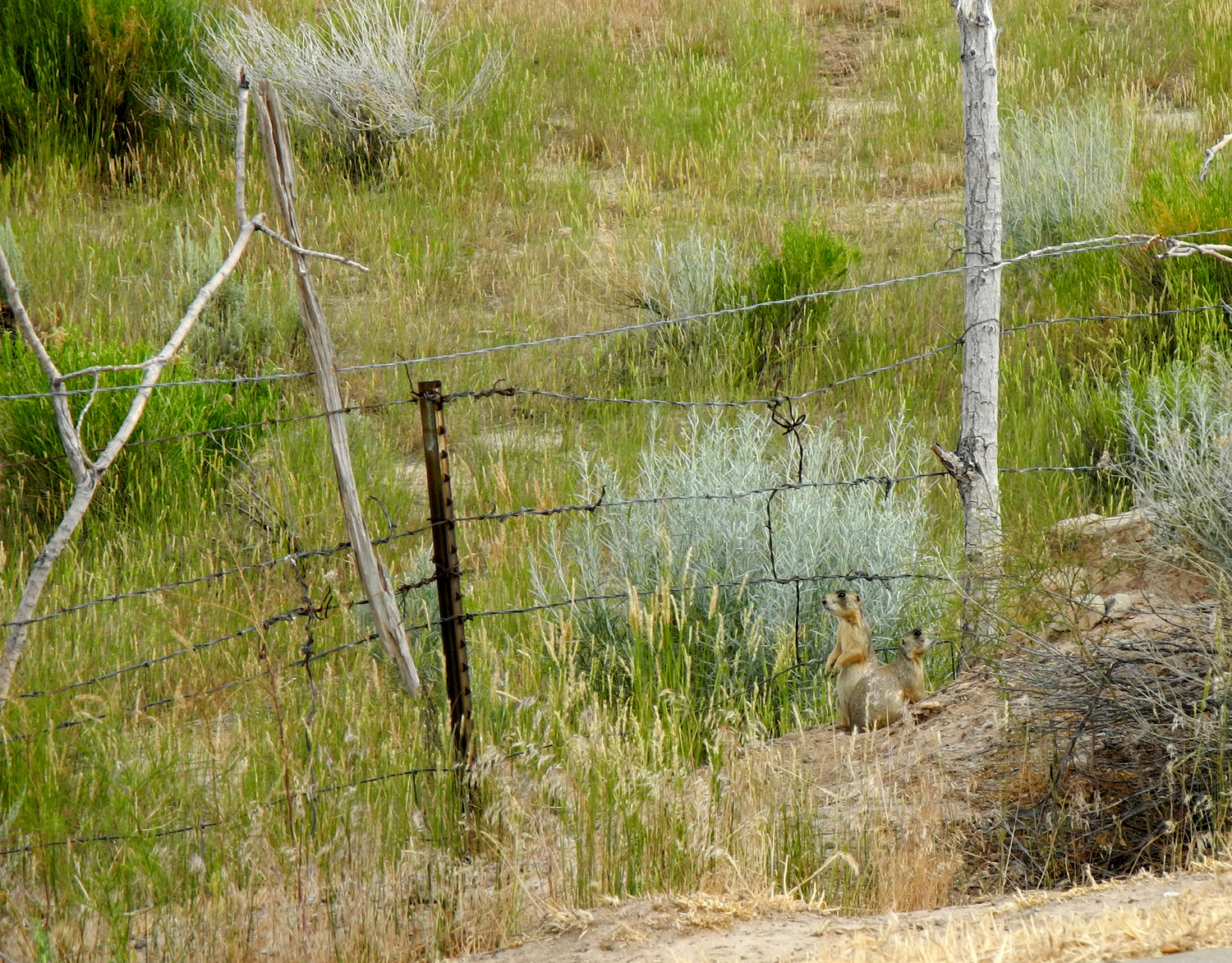
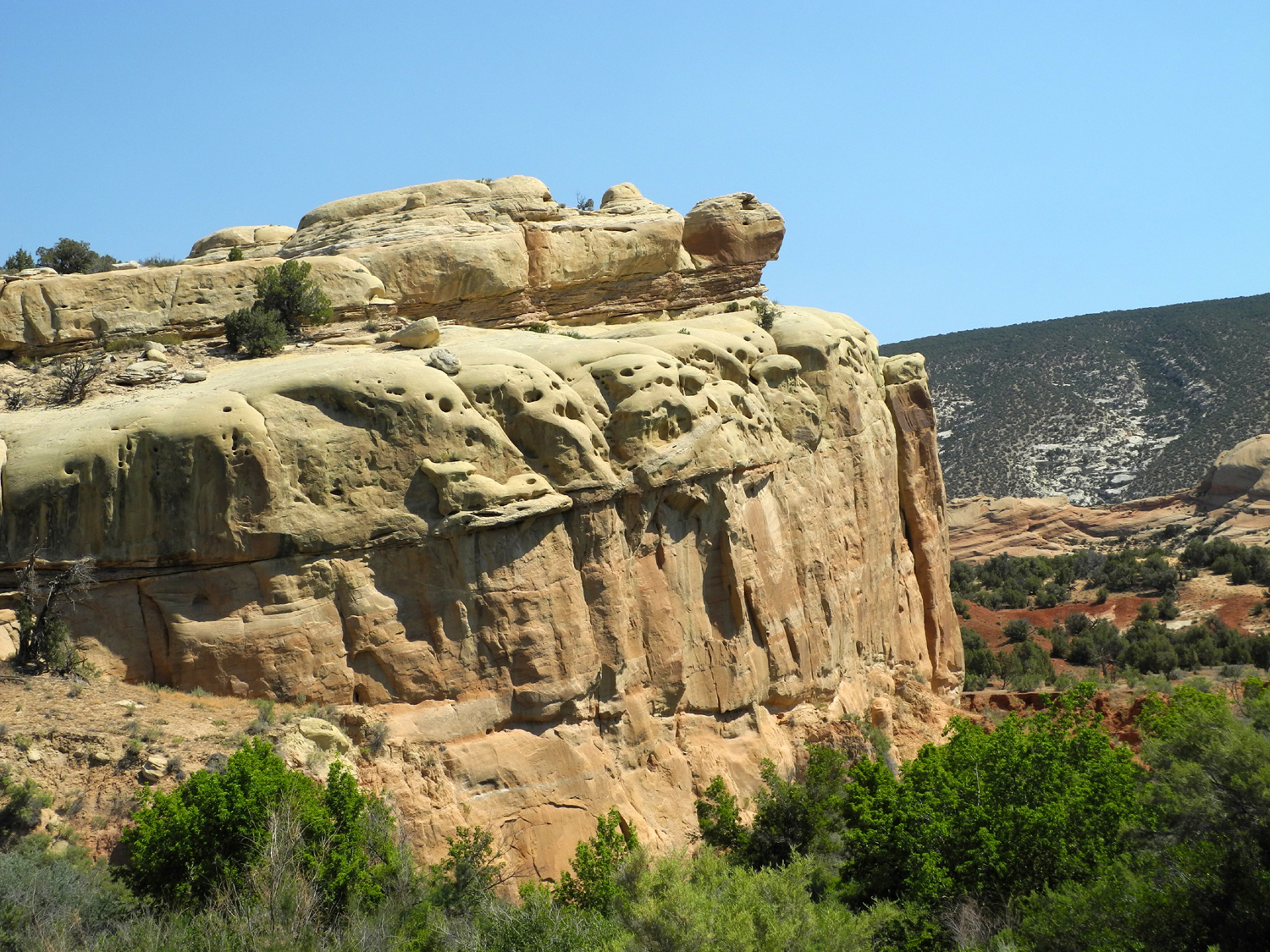
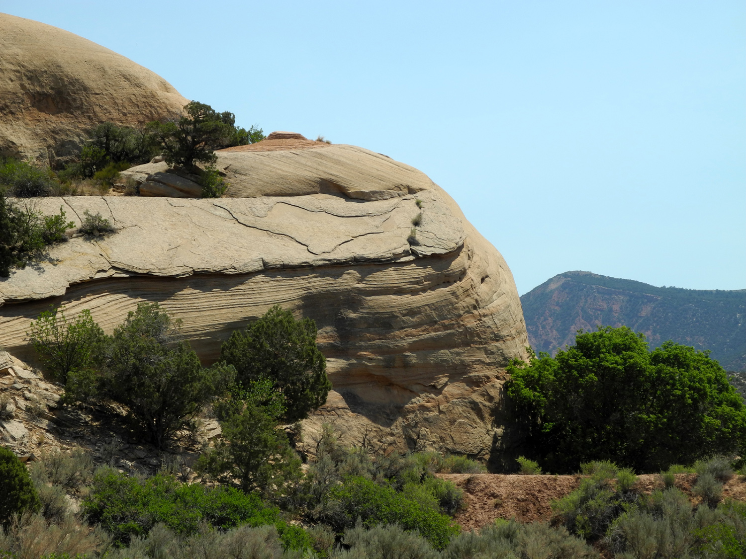
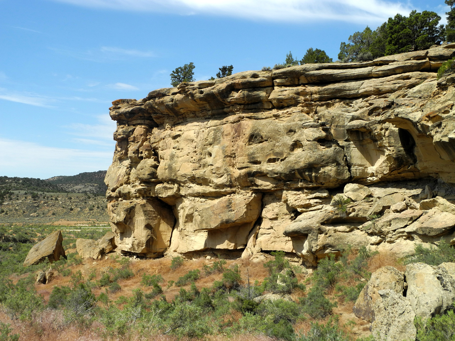
| Old cabin on US 191 | Prairie Dog on US 191 | Turtle Rock, Cub Creek Drive in Dinosaur National Monument | |
 |
 |
 |
|
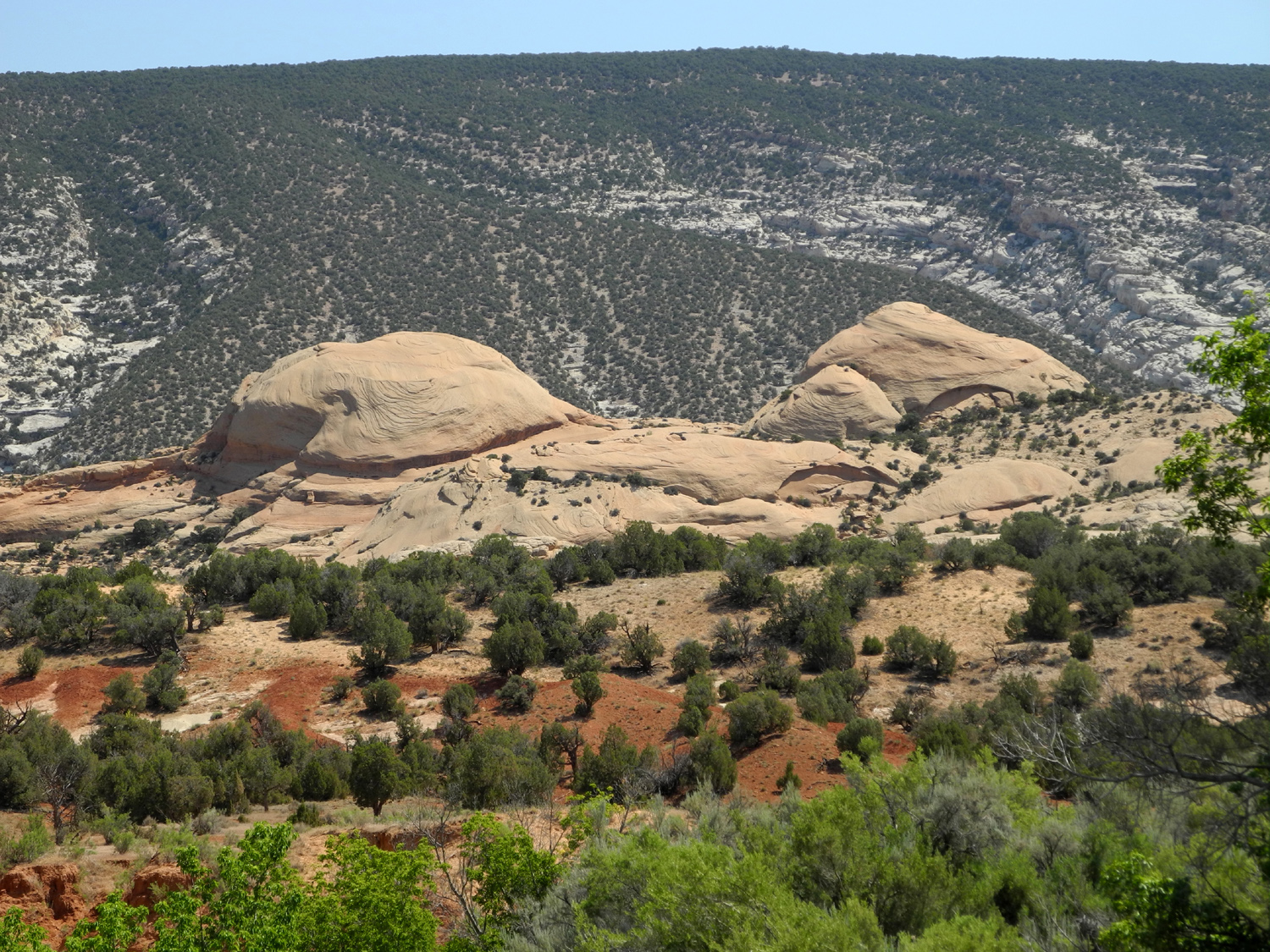
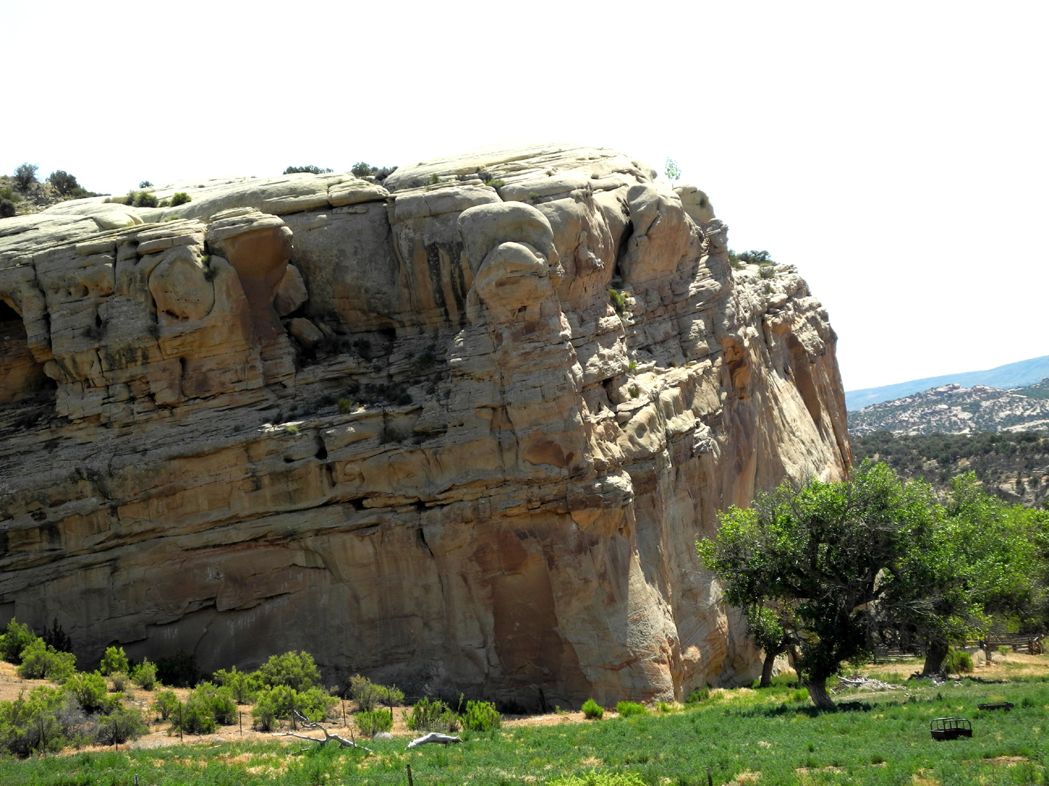
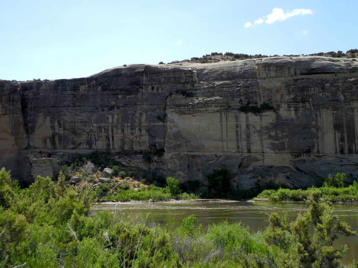
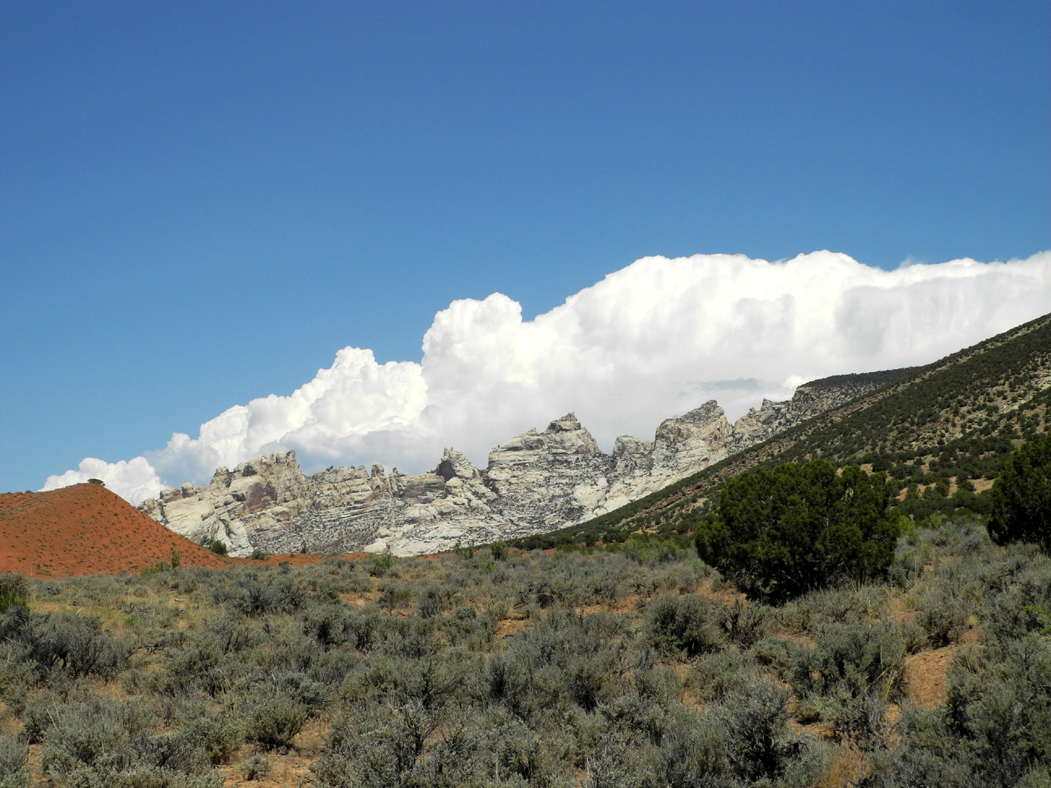
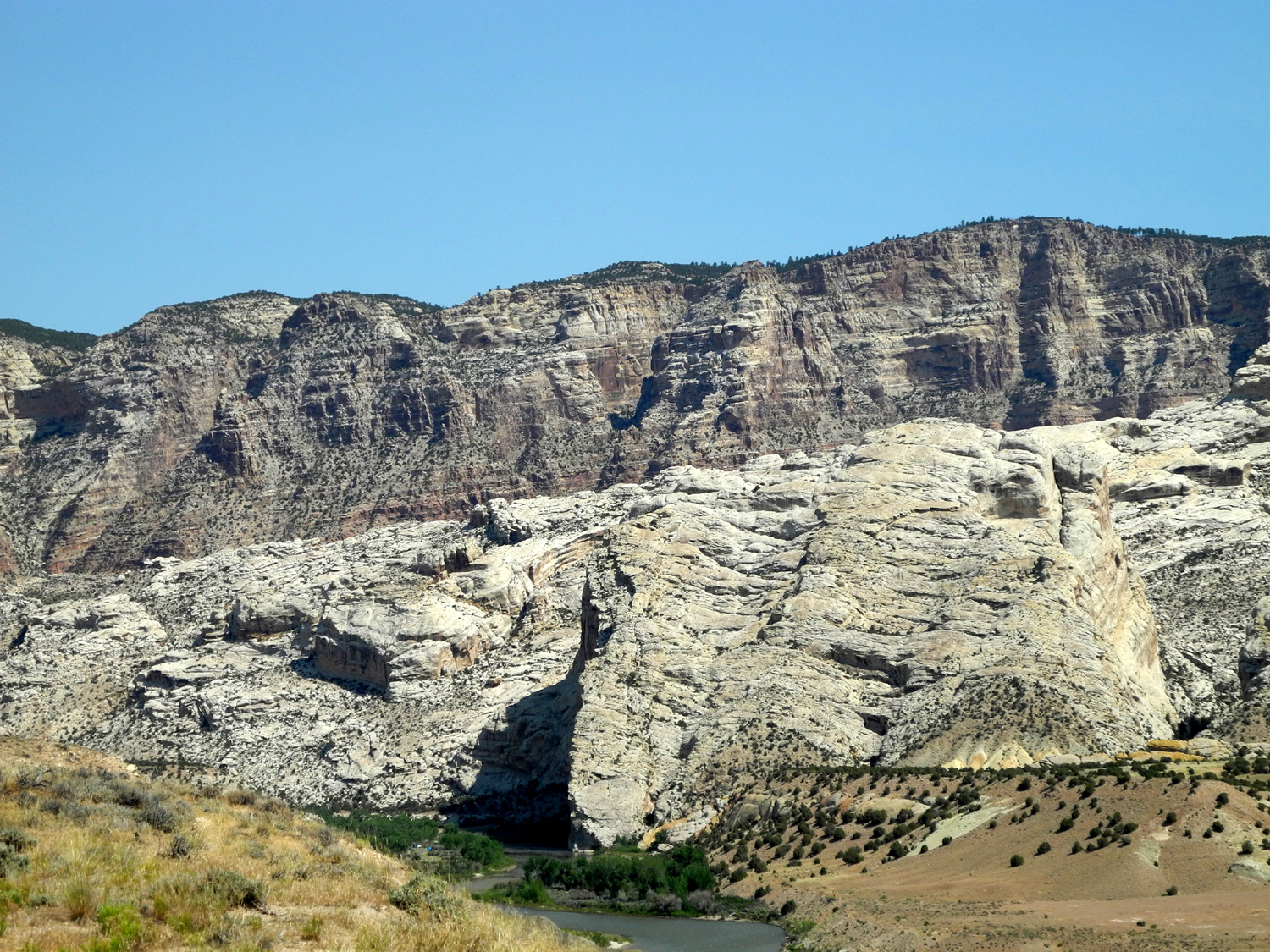
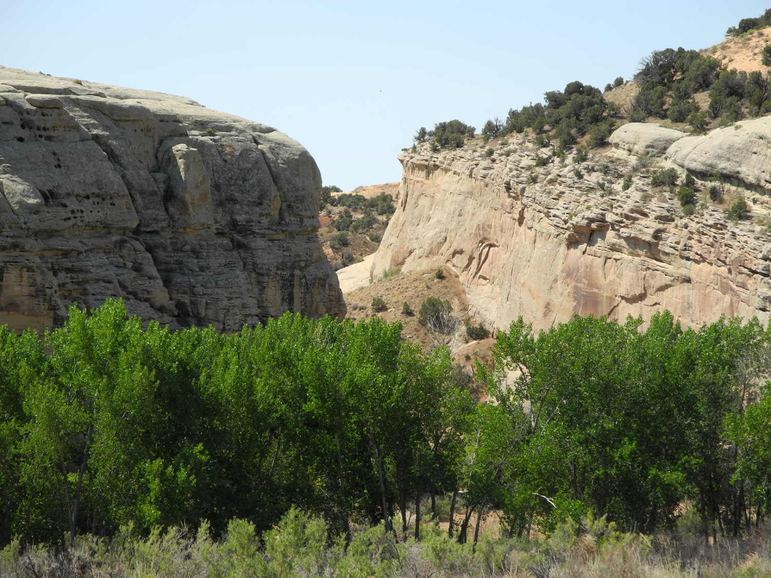
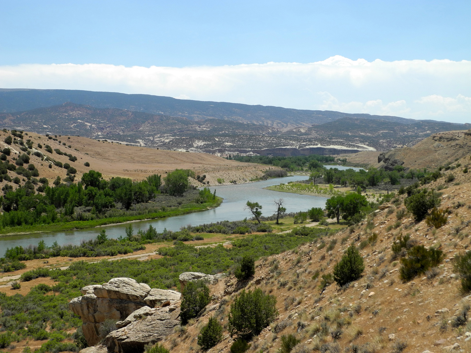
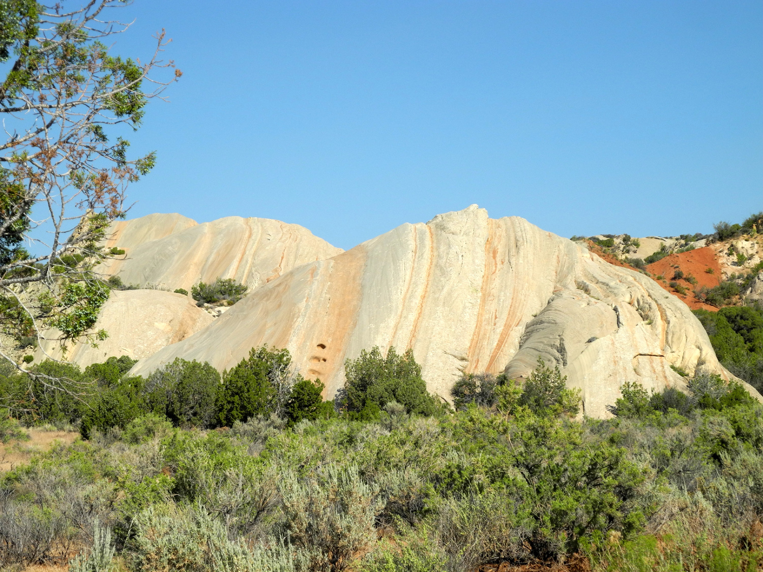
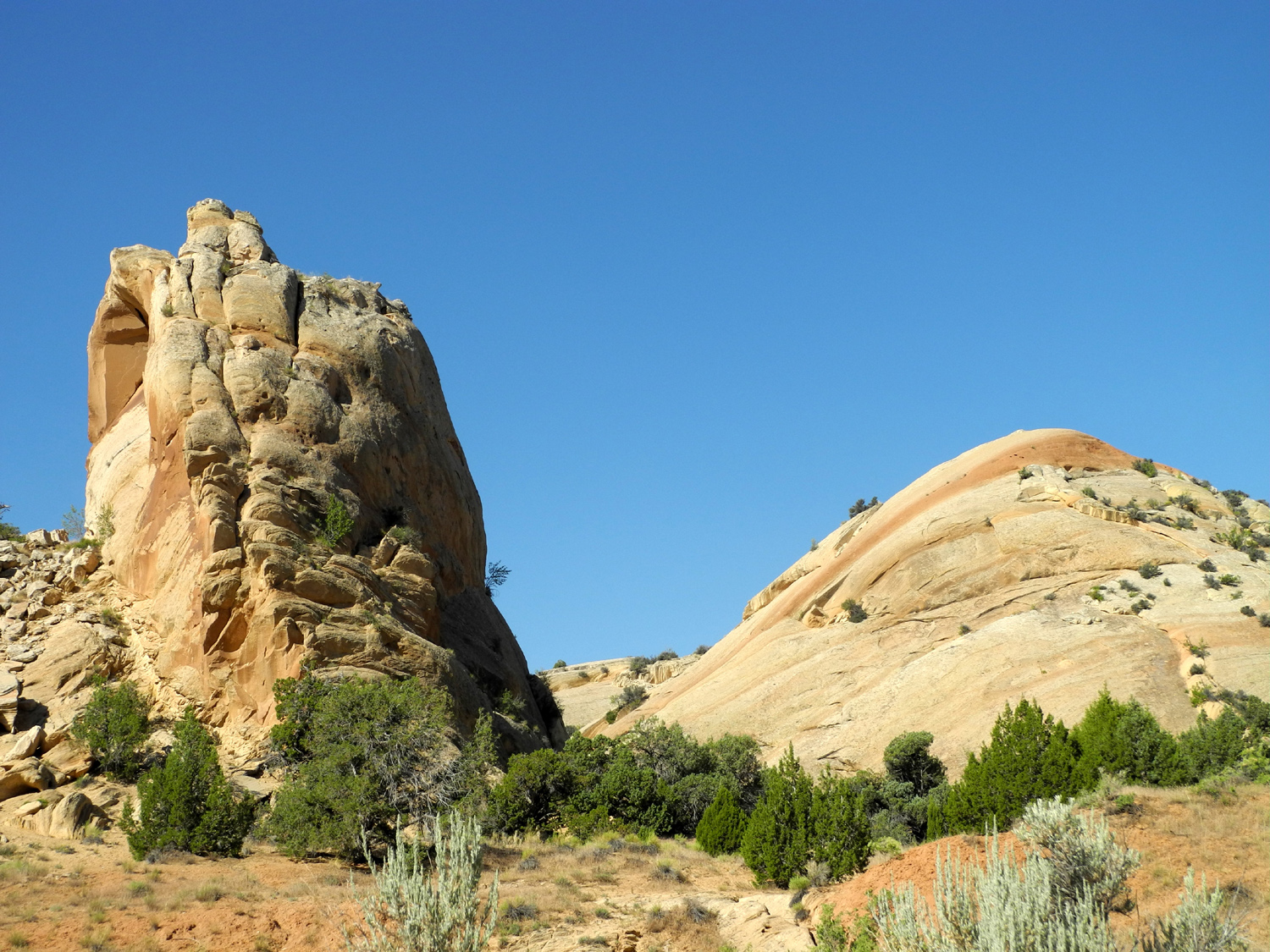
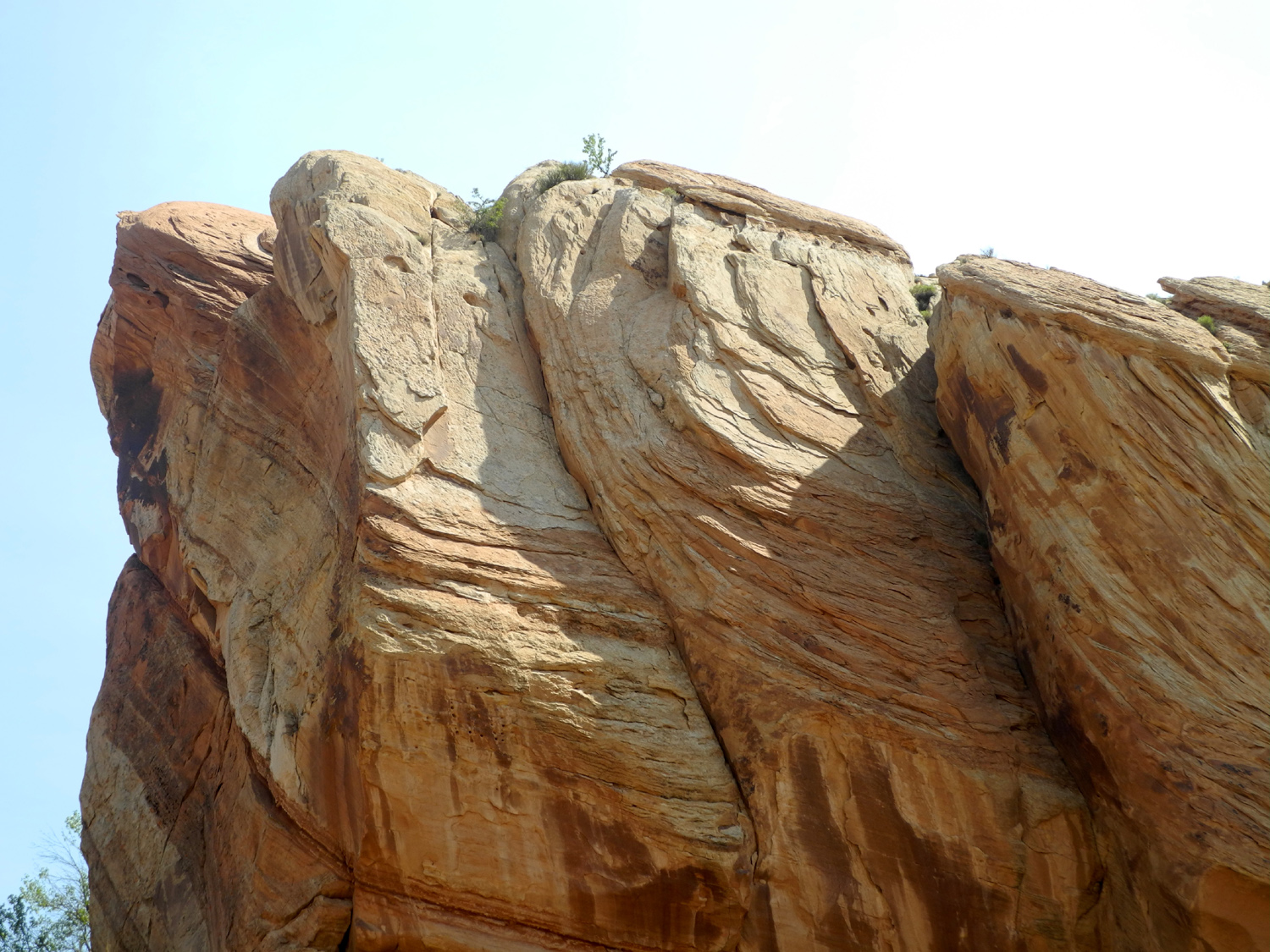
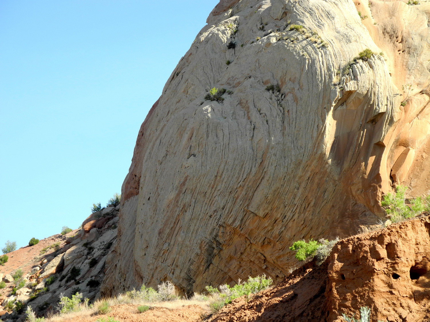
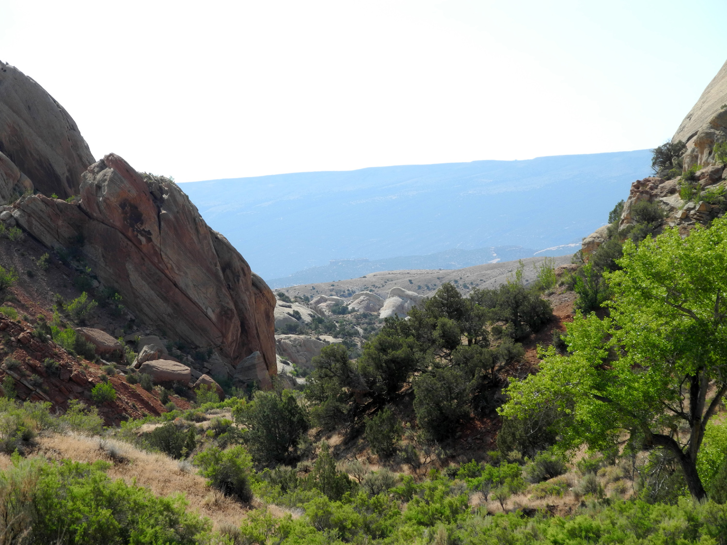
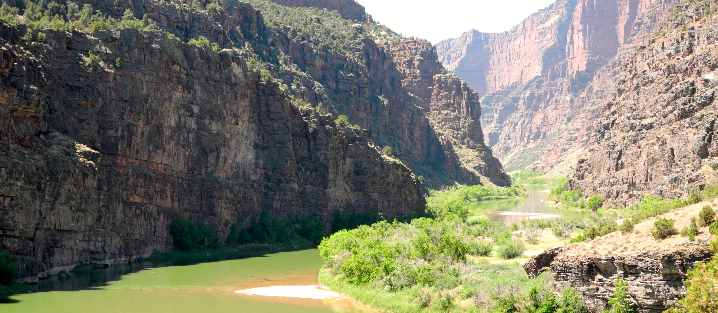
| Another turtle rock? | Cliffs above the Green River | Another rounded sandstone cliff | |
 |
 |
 |
|
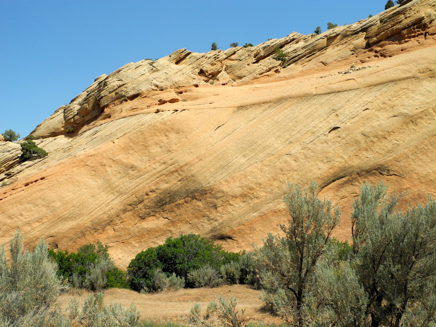
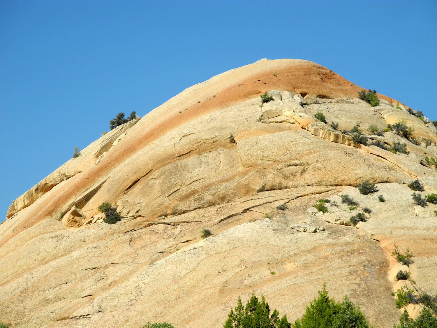
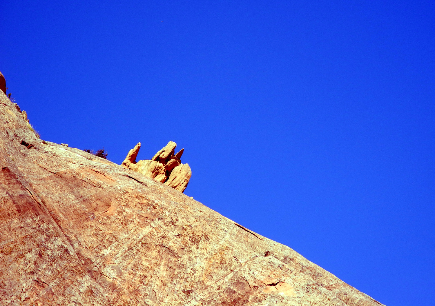
| The Green River near Chew Ranch | Sculpted sandstone |
Split Mountain from near the end of the road |
|
 |
 |
 |
|
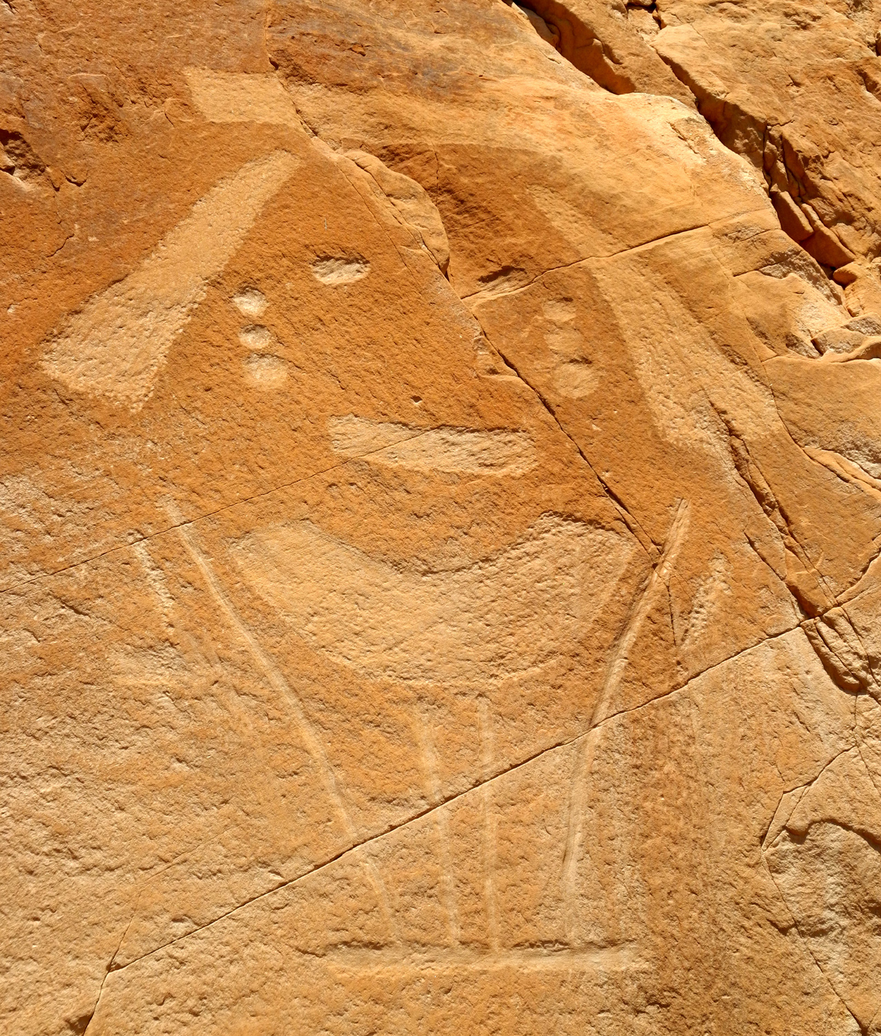
| A closer look at Split Mountain | Canyon off the Green River | Petroglyphs by Jackson Pollack? | |
 |
 |
 |
|
|
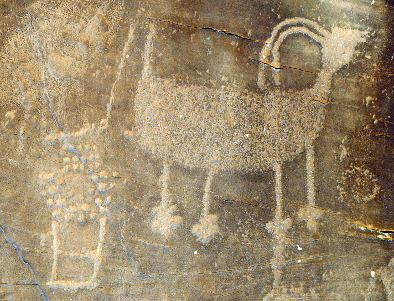
Fremont petroglyphs near Cub Creek |
Cub Creek | Josie Bassett Morris' cabin | |
 |
 |
 |
|
|
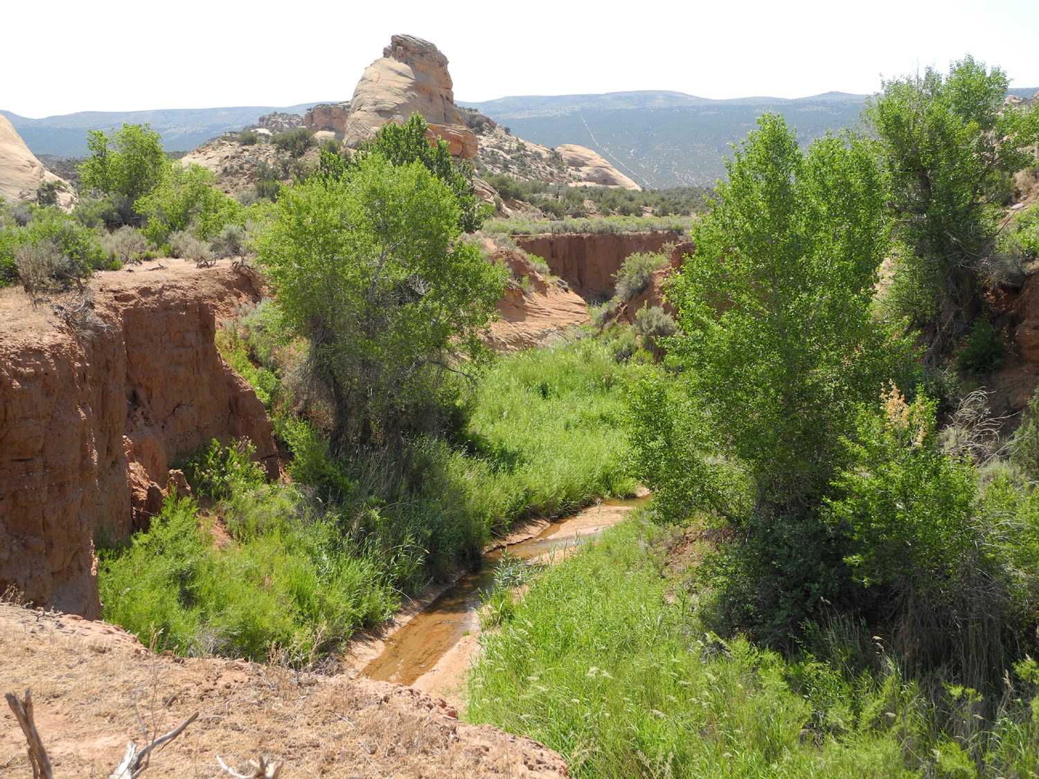
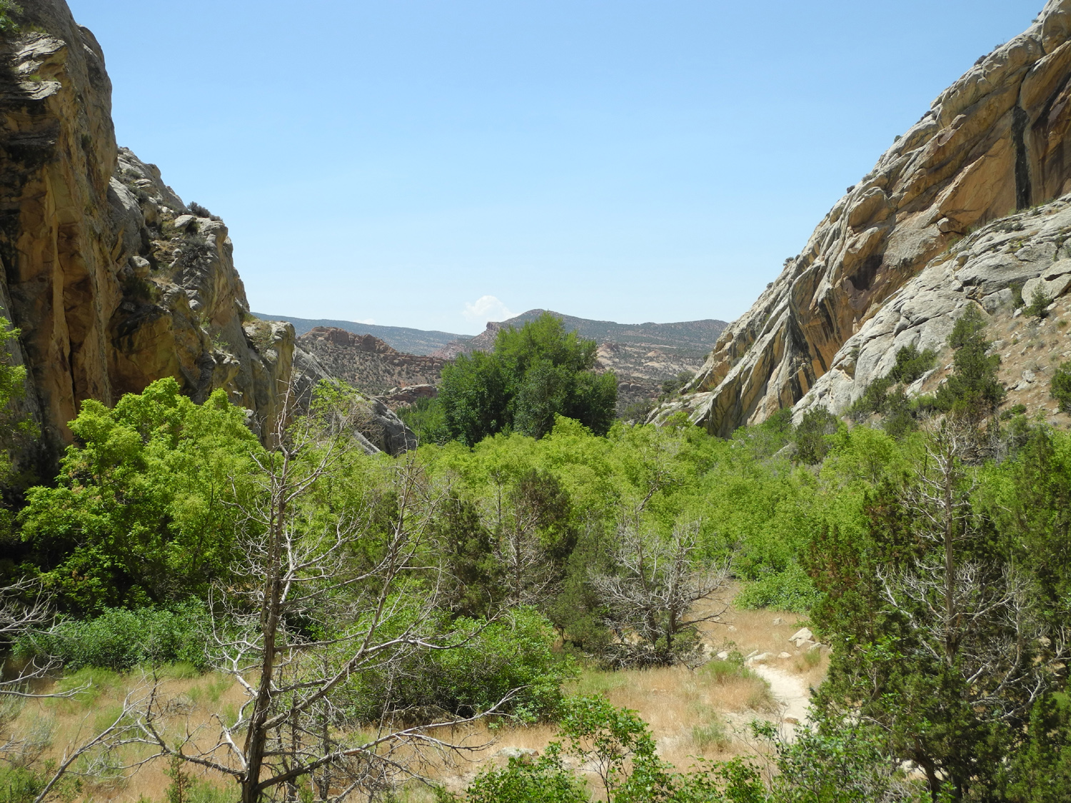
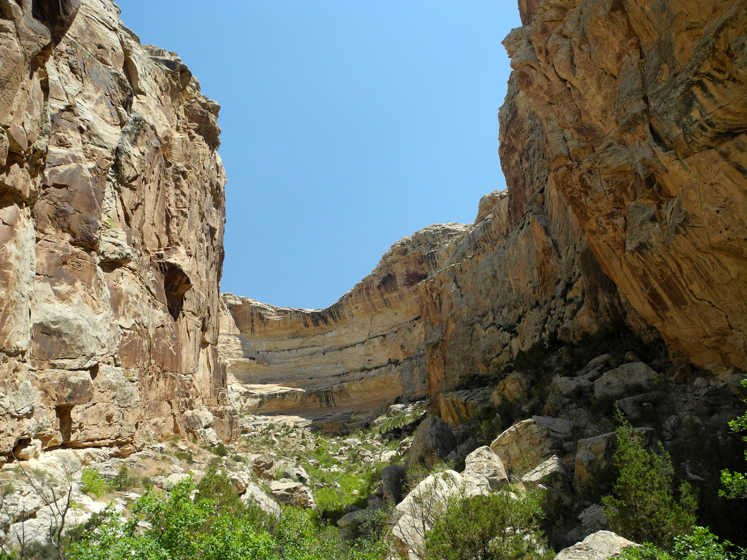
Box canyon where Josie corralled her cows |
View from the upper end of the canyon |
Upper end of the canyon | |
 |
 |
 |
|
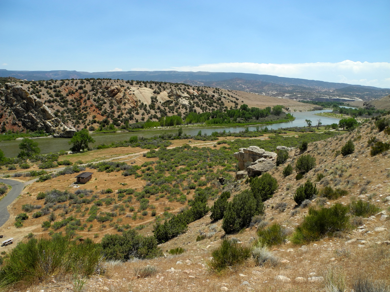
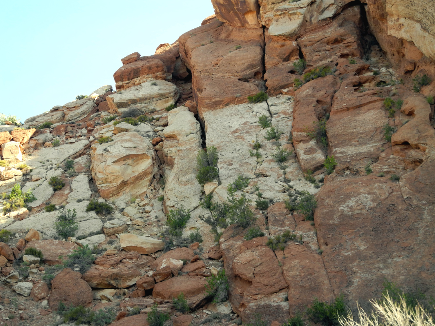
| Multicolored rock near Split Mountain Area | Campground on the Green River below Split Mountain | The river above the camping area | |
 |
 |
 |
|
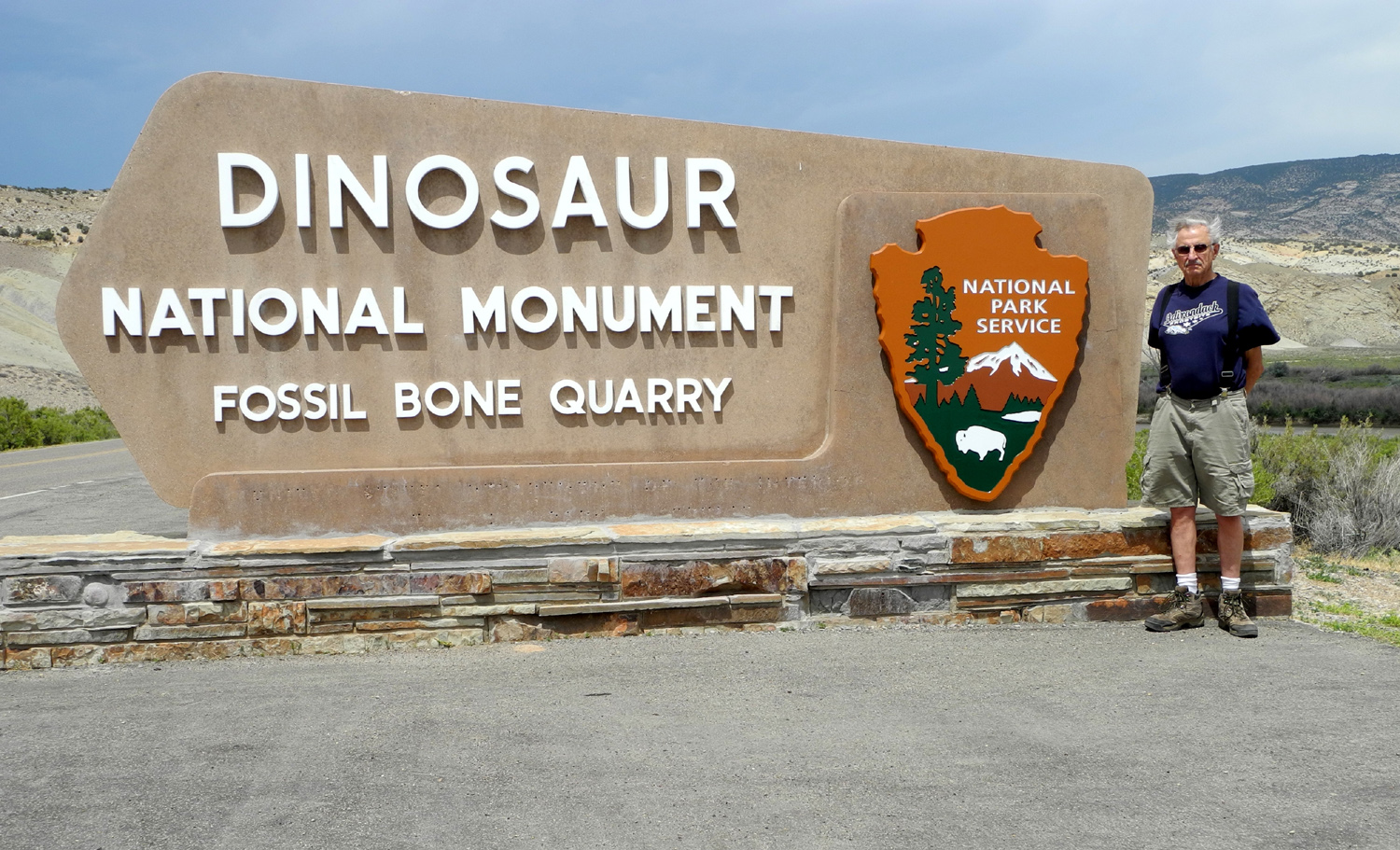
| Flowers along the road | Proof that I was there | The Monument is part of a huge area where dinosaurs once roamed | |
 |
 |
|
|
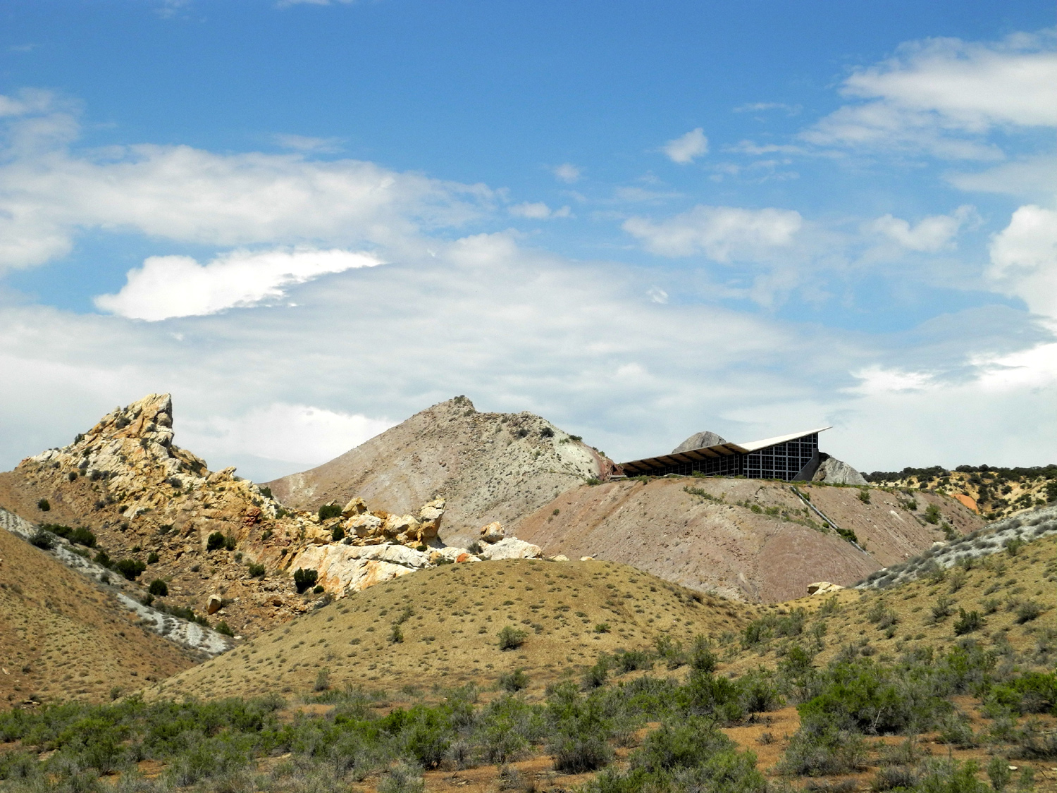
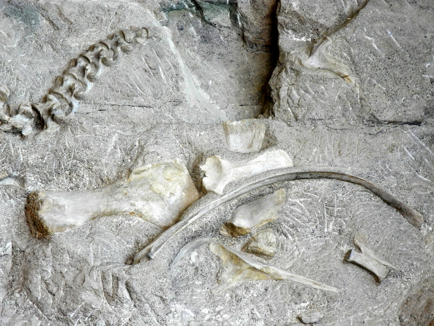
| The Quarry Exhibit Hall | Camarasaurus femur, about five feet long | Actual apatosaurus skull fossil | |
 |
 |
 |
|
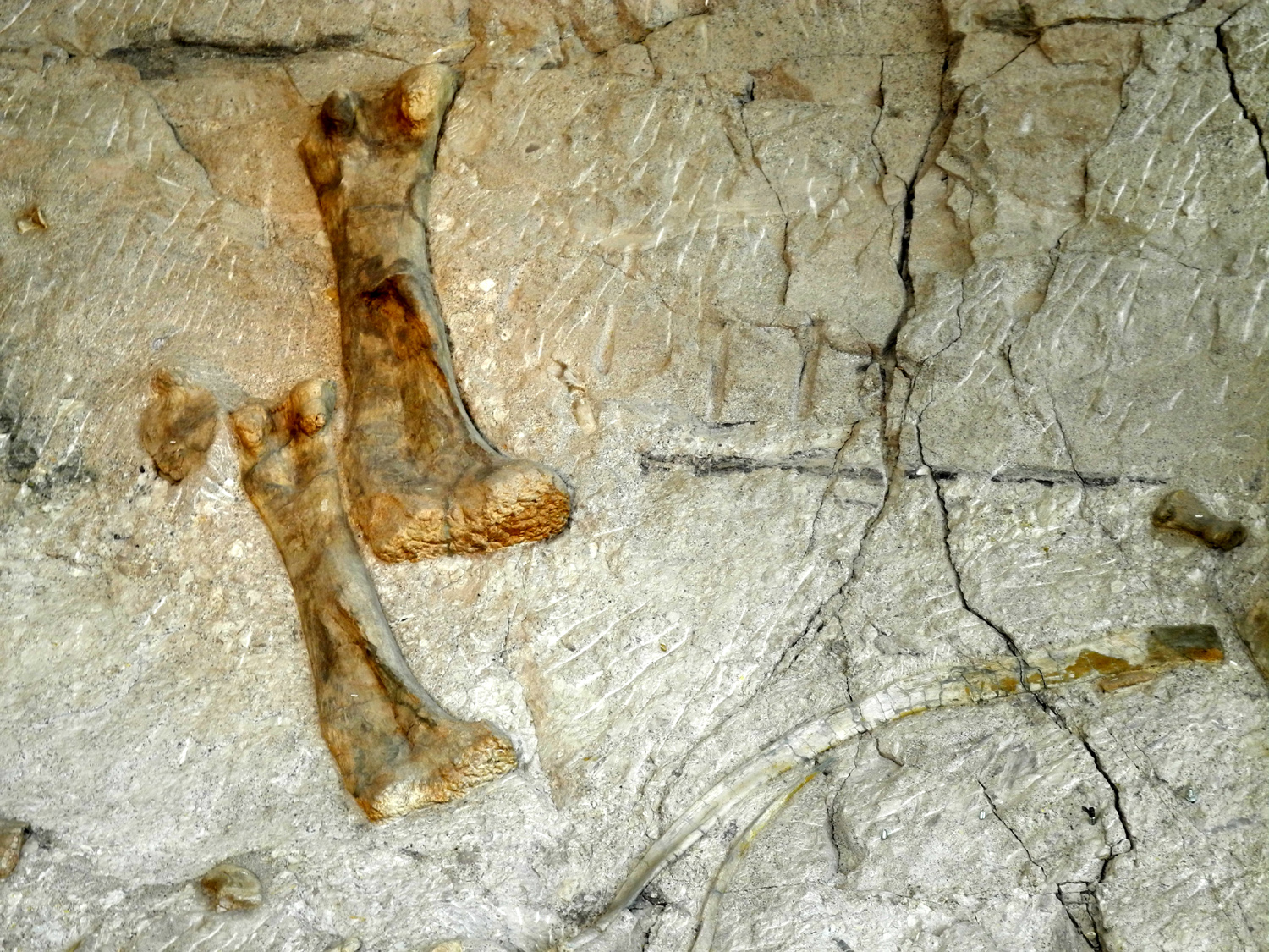
| Bones in the quarry | |||
 |
 |
 |
|
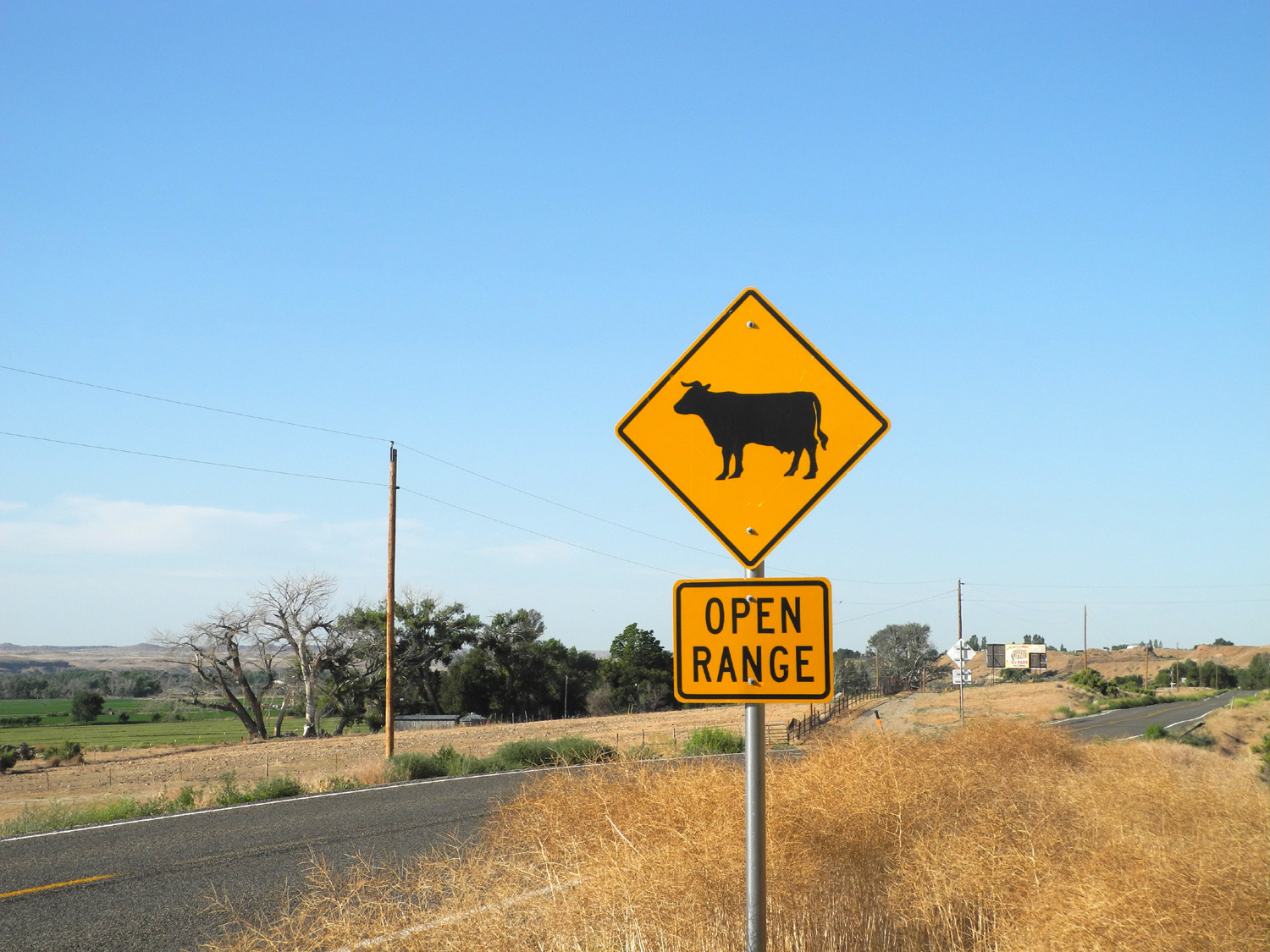
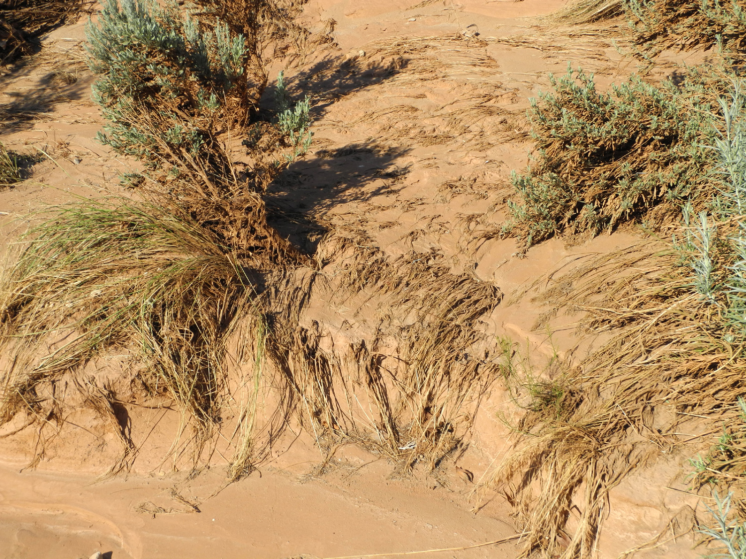
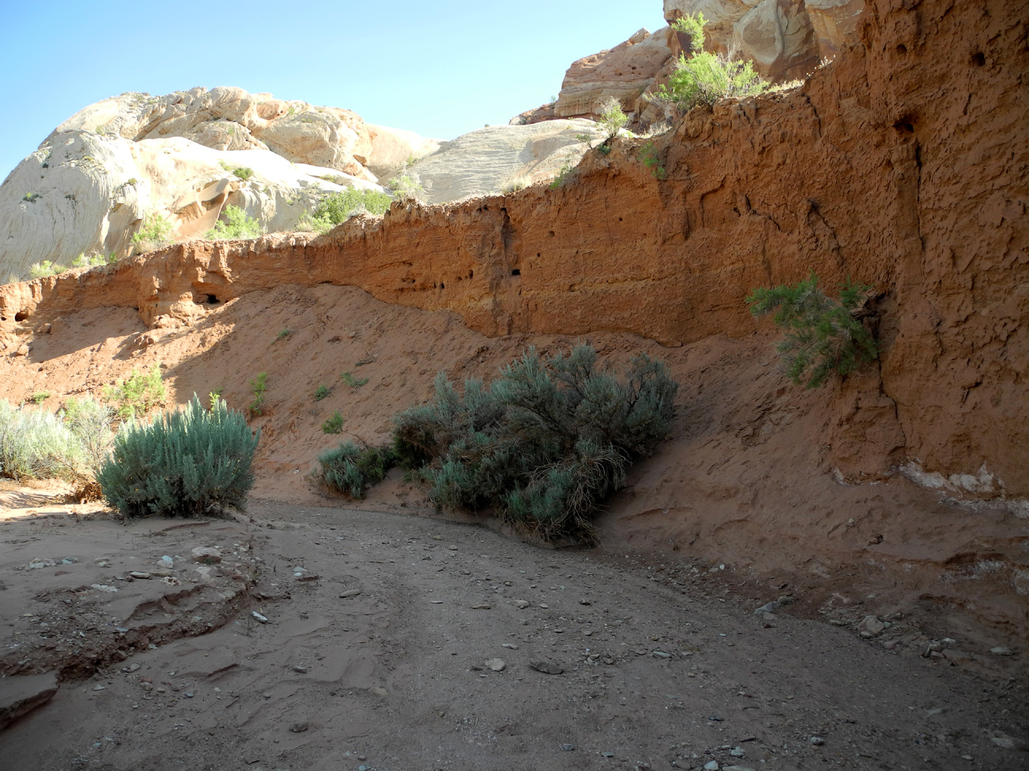
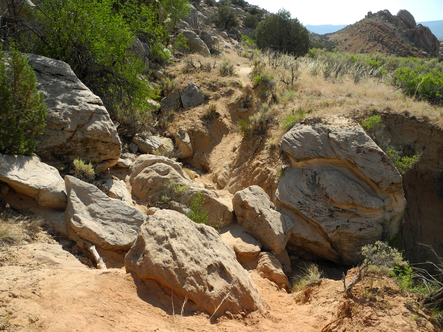
| A ubiquitous sign all over the west | At the entrance to Sound of Silence Trail | Evidence of heavy runoff | |
 |
 |
 |
|
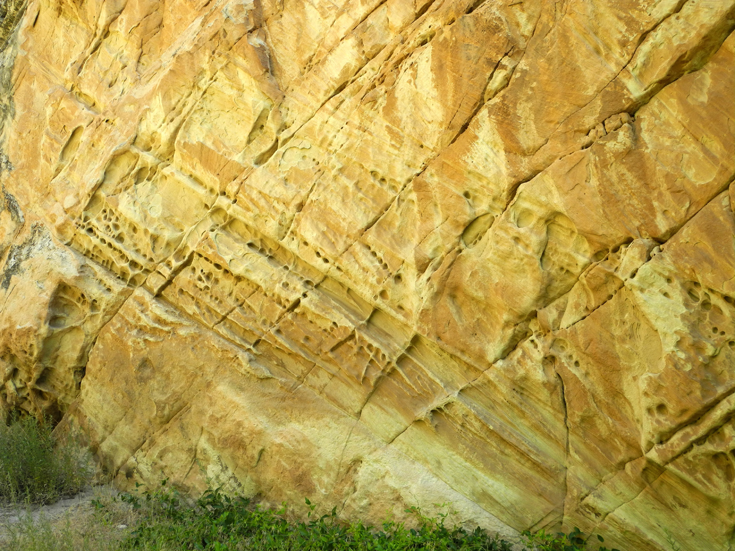
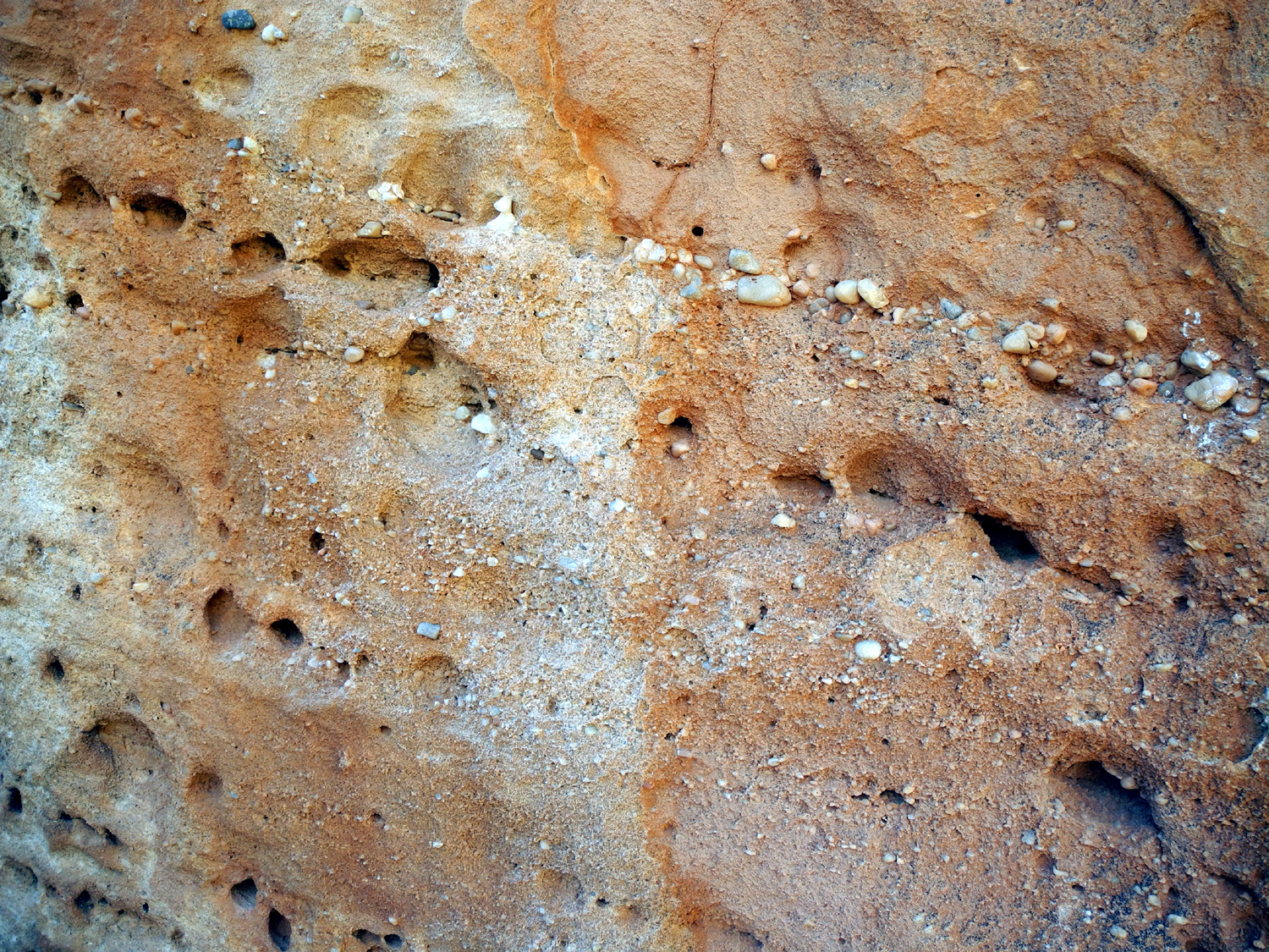
| Colors both vibrant and subtle | Endlessly fascinating formations mark the Sound of Silence Trail | Unique markings | |
 |
 |
 |
|
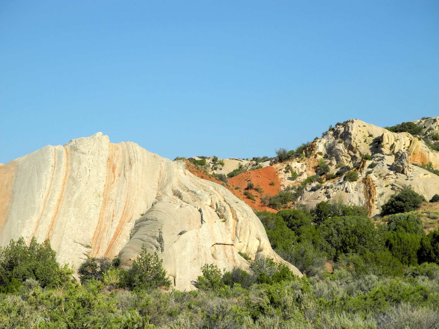
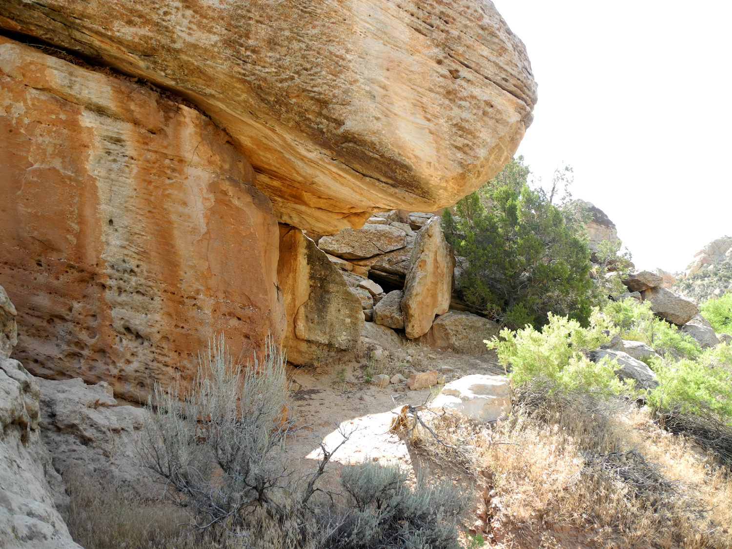
| The work of time, water and wind | More sandstone sculpture | Multicolor layers | |
 |
 |
 |
|
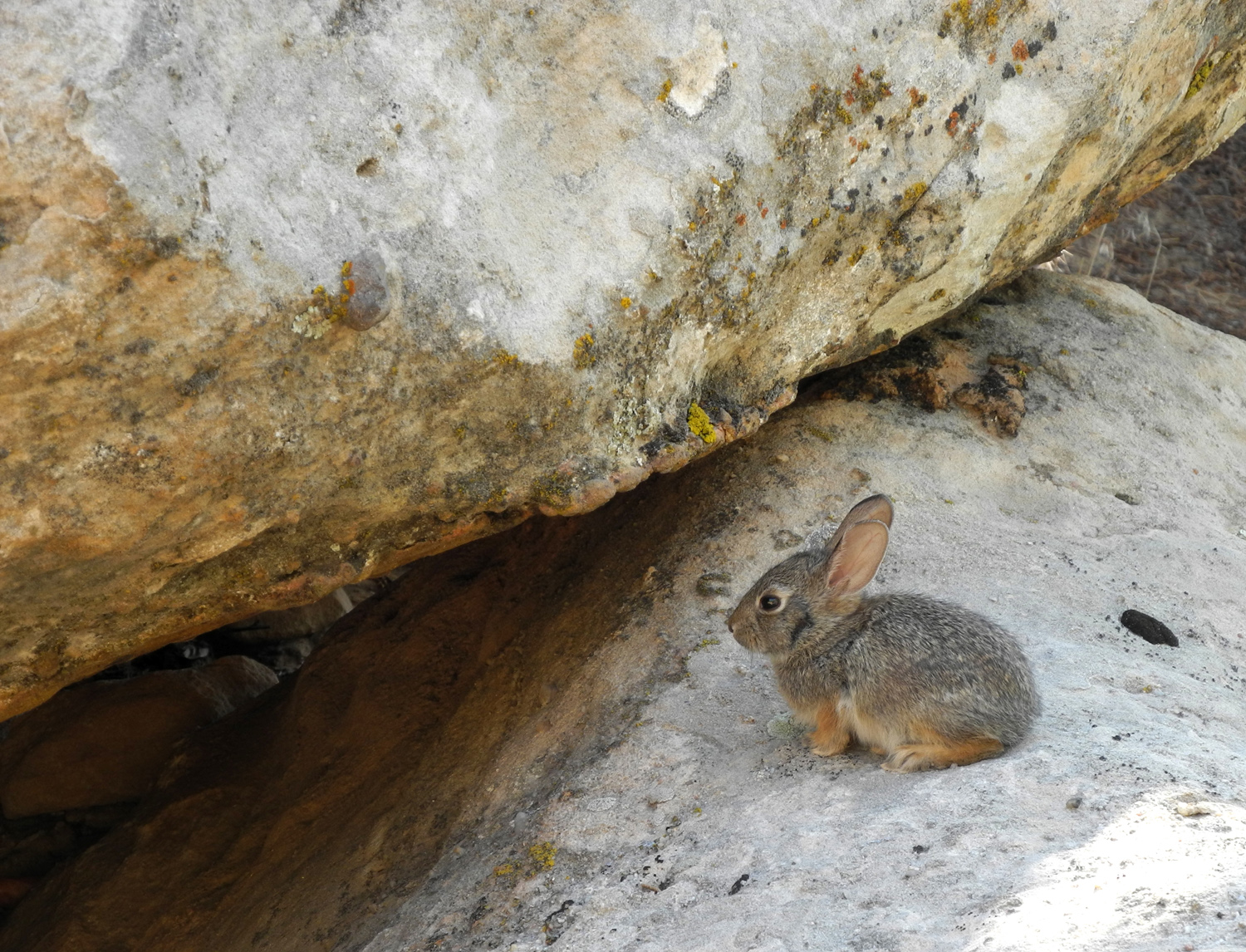
| Fremont culture cell tower? | Looking back toward the road on the Sound of Silence Trail | One of a dozen pigmy rabbits who posed for pictures | |
 |
 |
 |
|
| You have to hike early to enjoy shade in the wash | Hiking poles were welcome at this spot on the trail |
Without the trees, it would be a moonscape |
|
 |
 |
 |
|
| A look back in time | A rare shady spot on the trail |
Just like the back window of an SUV |
|
 |
|
 |
|
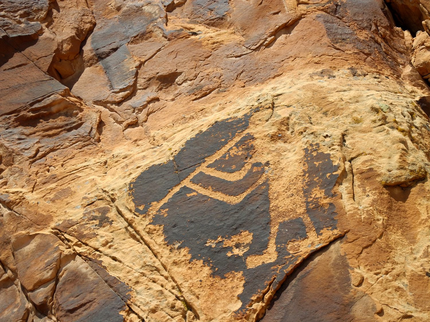
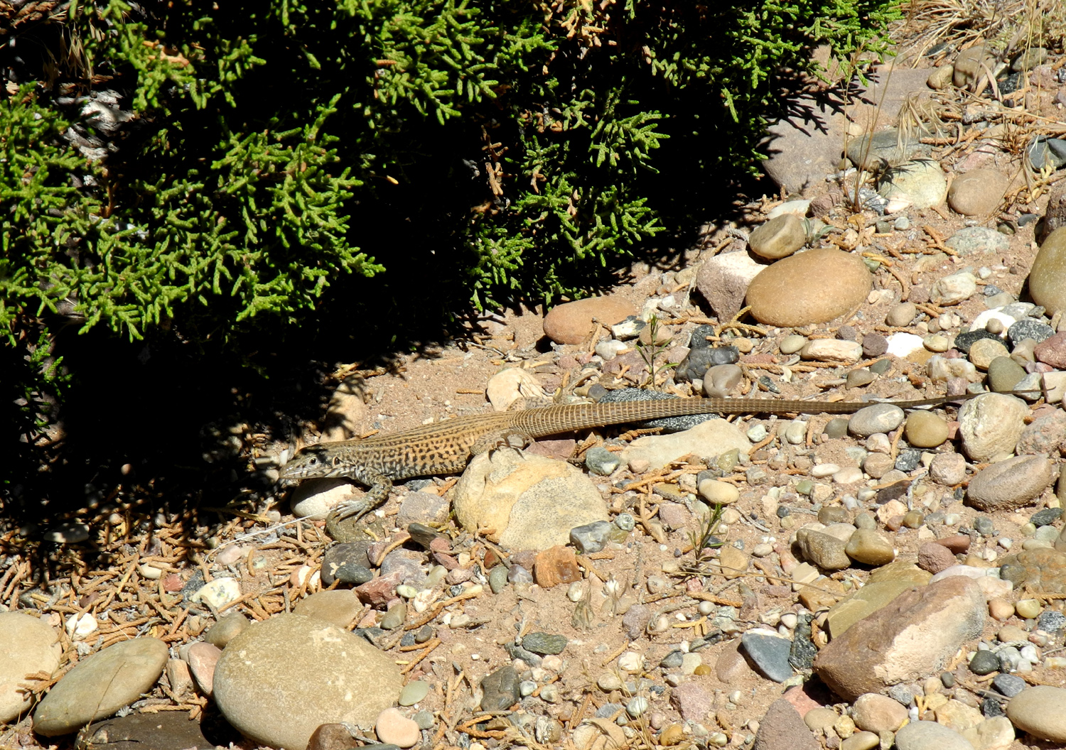
| Another Fremont figure along Cub Creek road | The masterpiece, it probably took months to etch this lizard | The flute player is a common figure in southwest native culture | |
 |
 |
 |
|
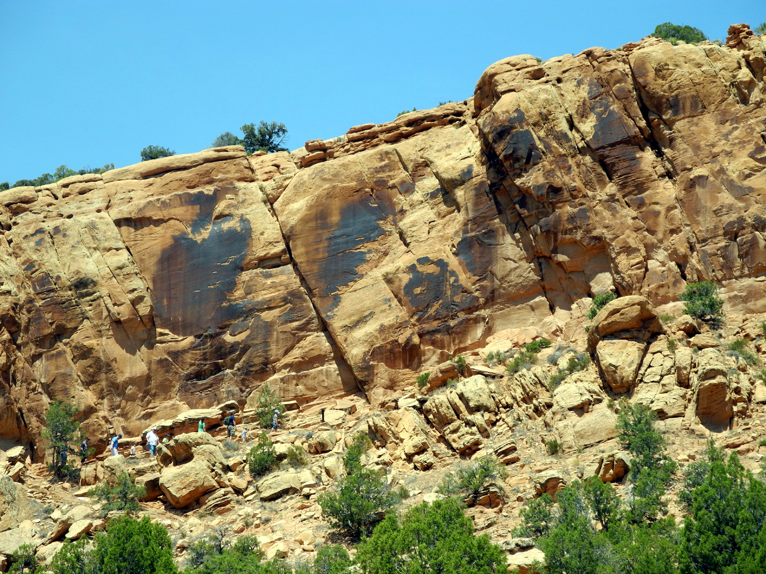
| Bighorn sheep petroglyph | The lizard is visible above the trail to the petroglyphs | View from the petroglyph trail | |
 |
 |
 |
|
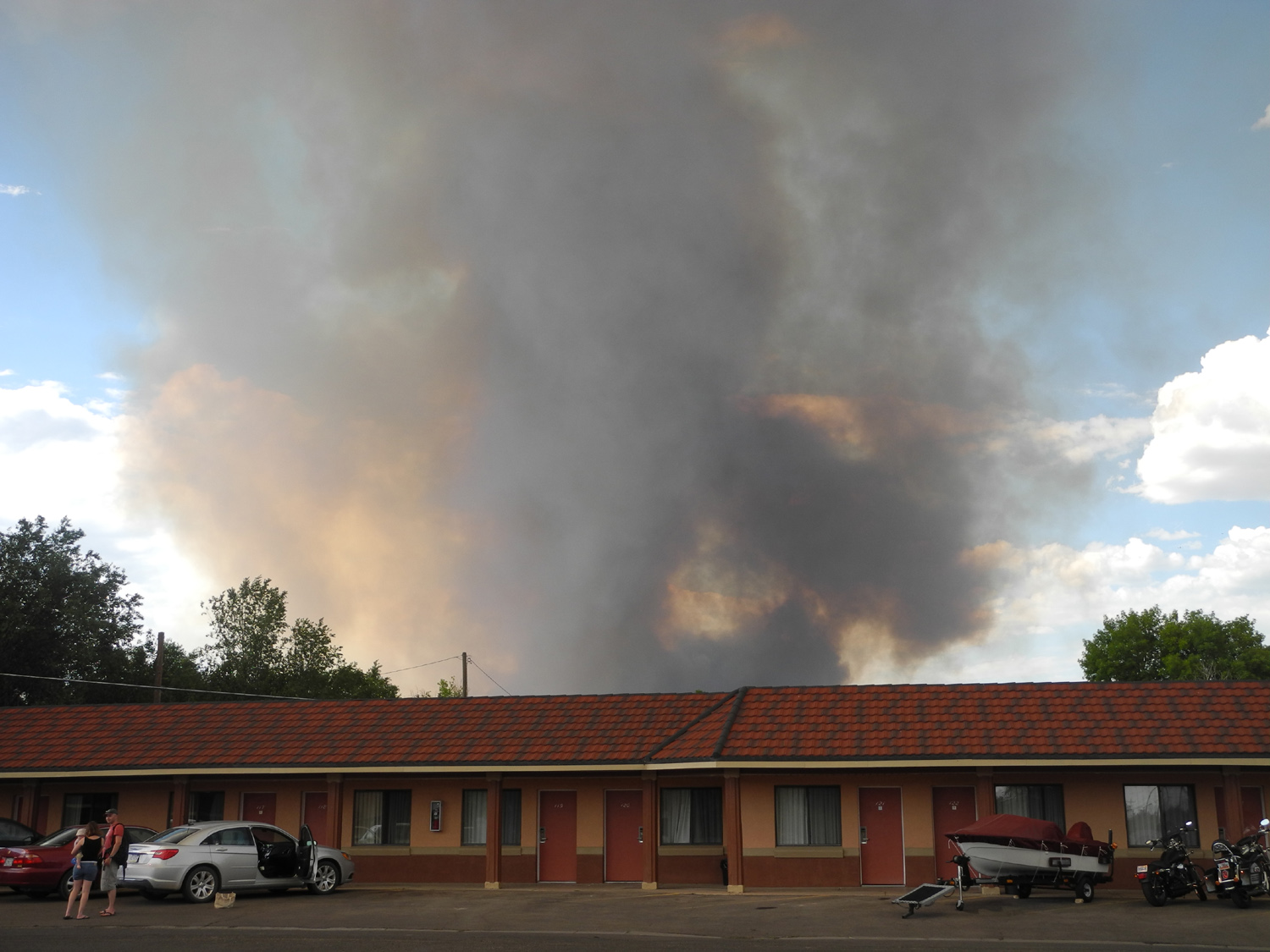
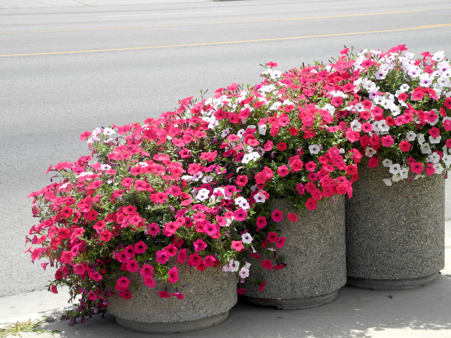
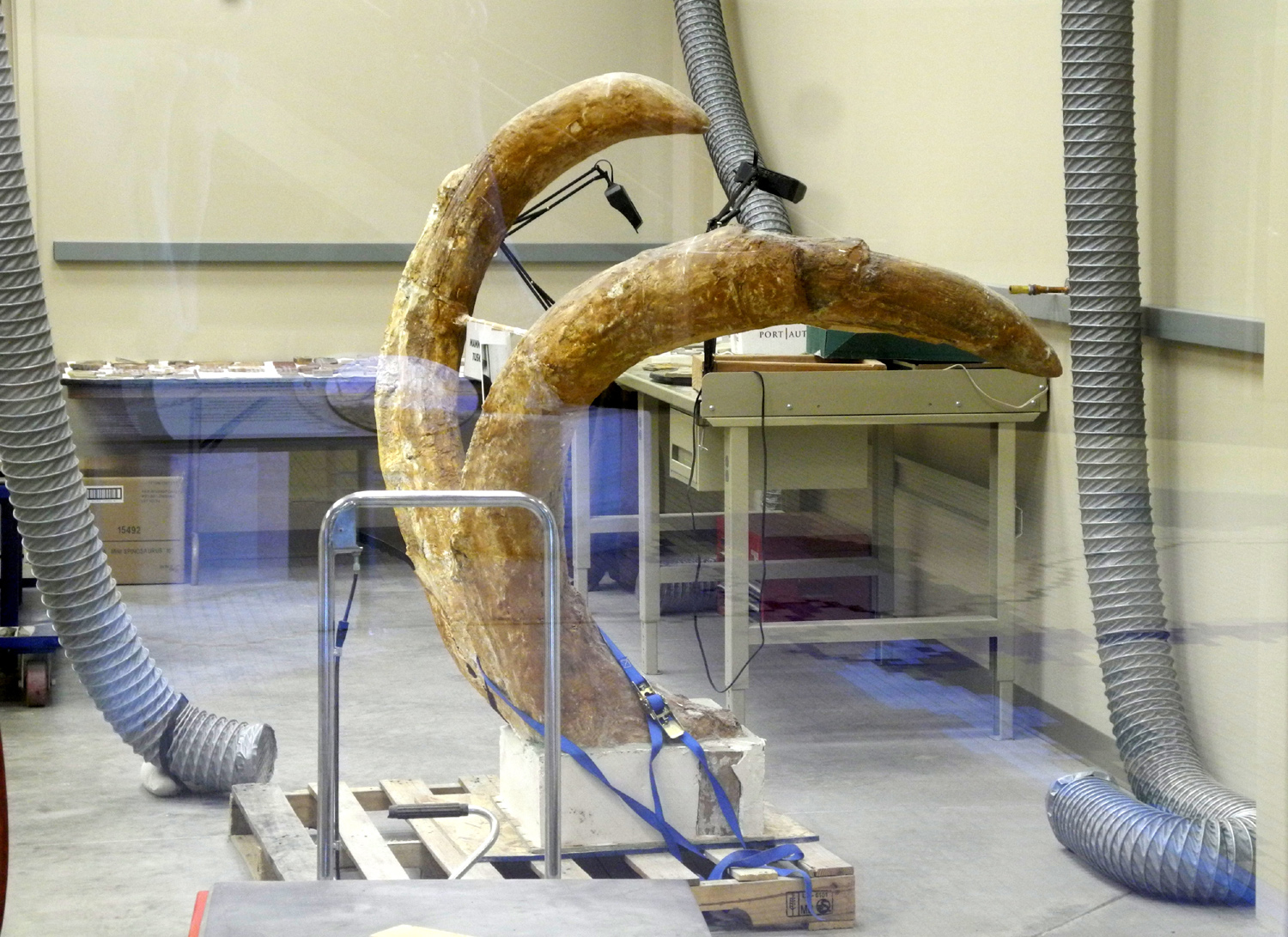
| Big smoke cloud north of Vernal | Dozens of these planters lined the main street of Vernal, Utah | Mammoth tusks under restoration | |
 |
 |
 |
|
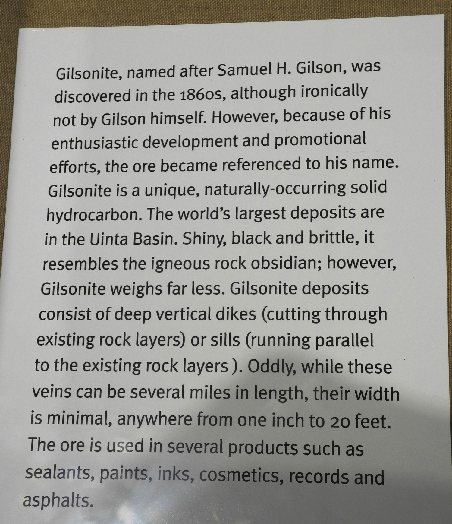
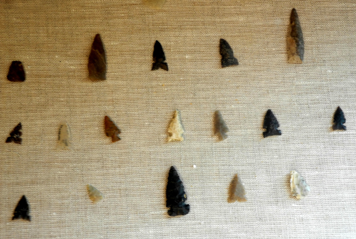
| Bentonite in the Utah Museum | A an explanation of Bentonite | A nice display of projectile points | |
 |
 |
||
| Scientists now think pteranodon may have had fur | Mammoth model at the museum | ||
 |
|||
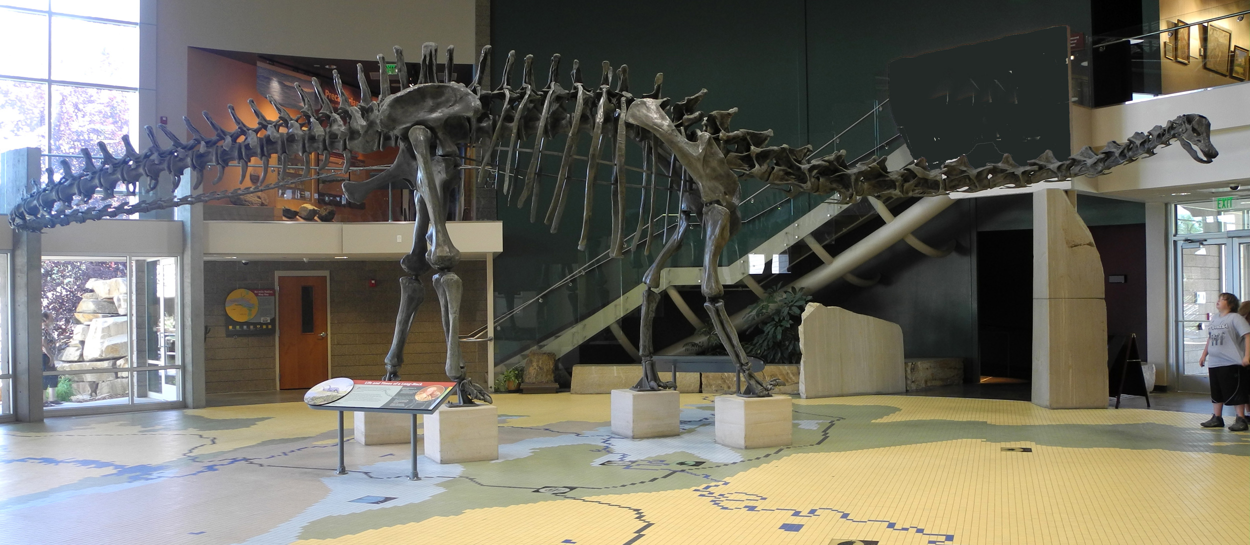
| Apatosaurus skeleton in the museum | |||
 |
|||
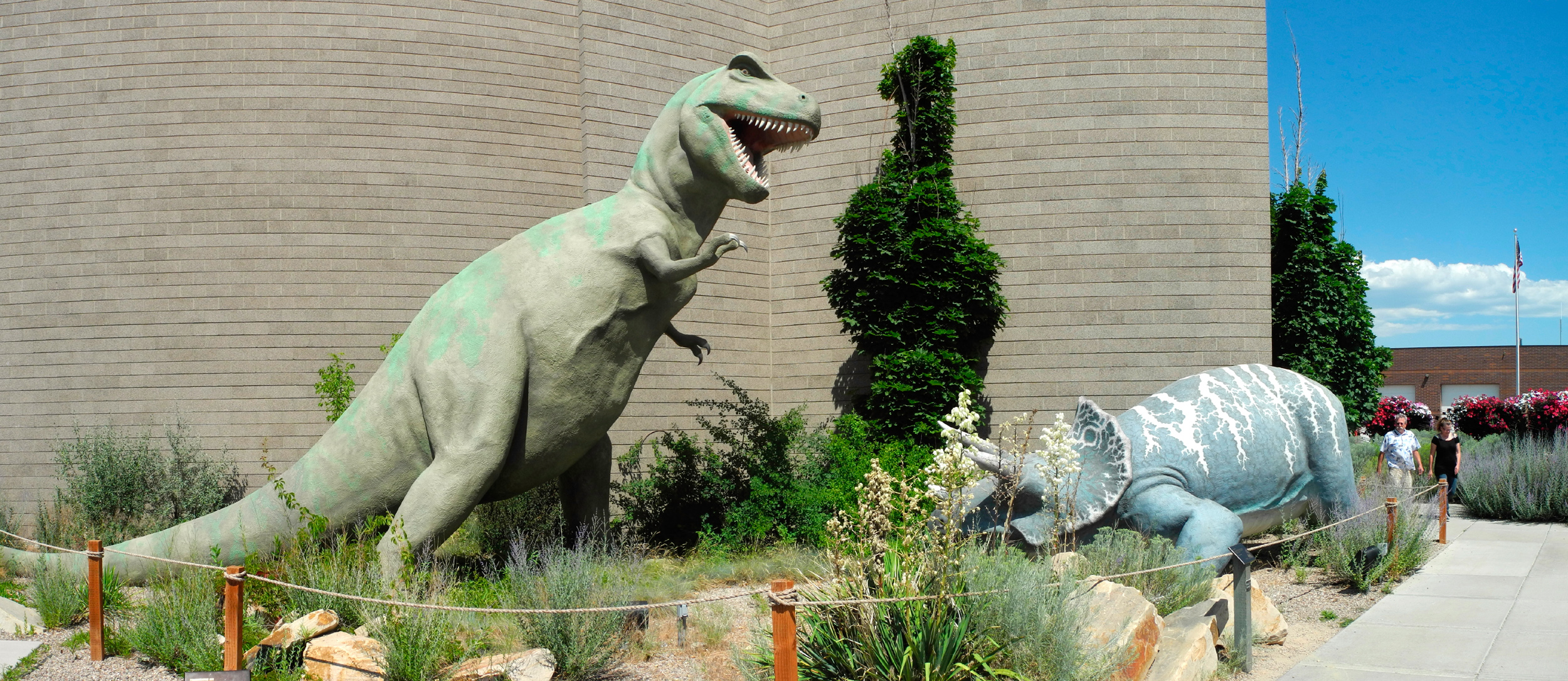
| T-Rex and triceratops models outside the museum | |||
 |
|||
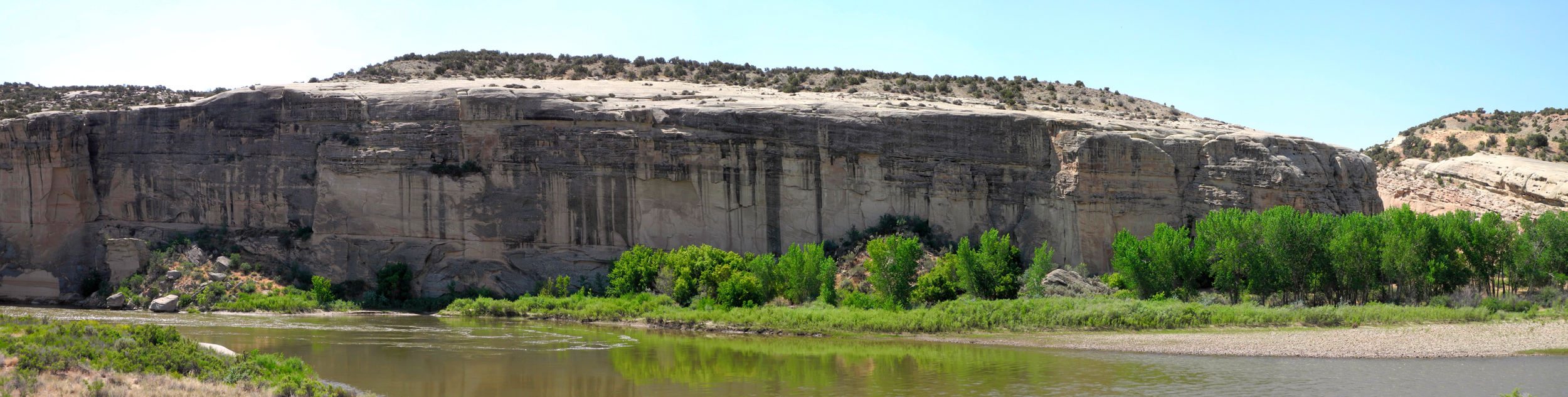
| Cliffs along the Green River | |||
 |
|||
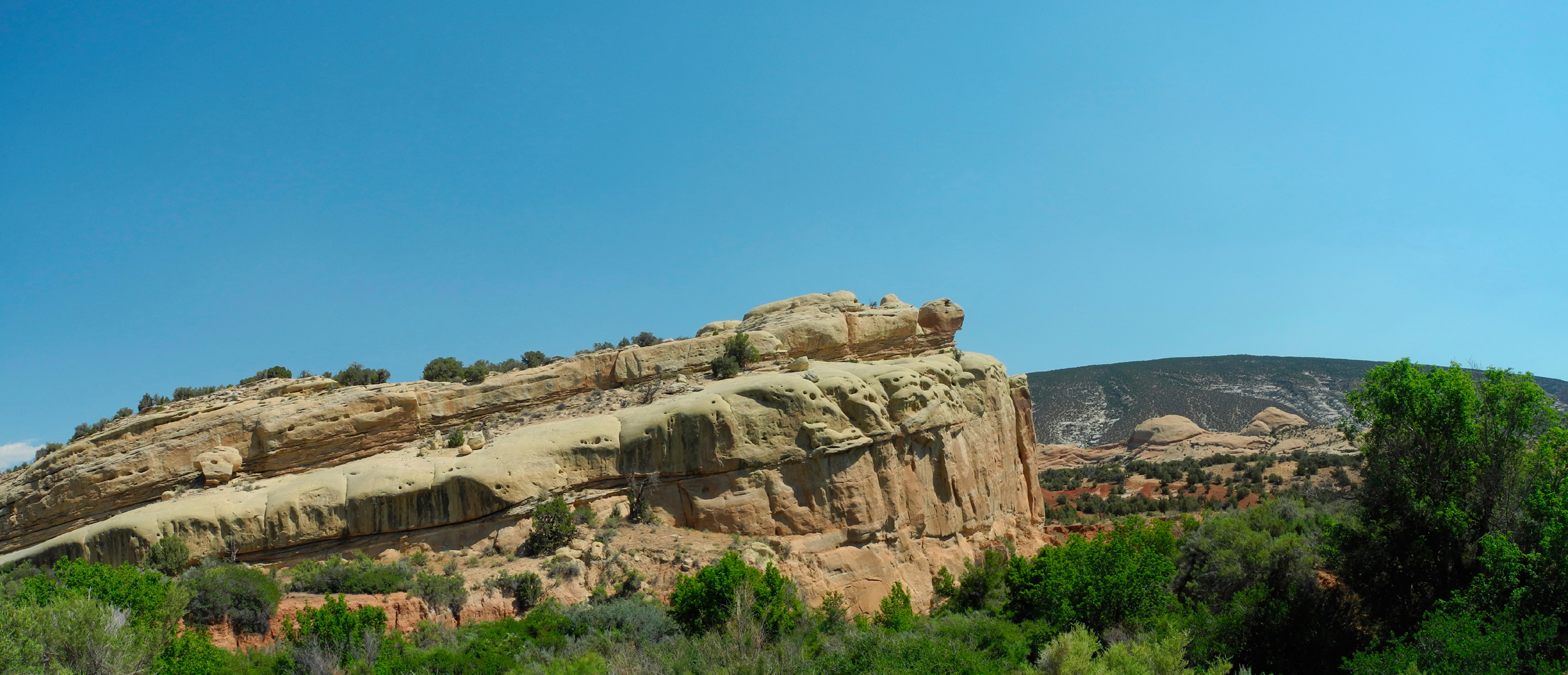
| Entrance to the Sound of Silence Trail | |||
 |
|||
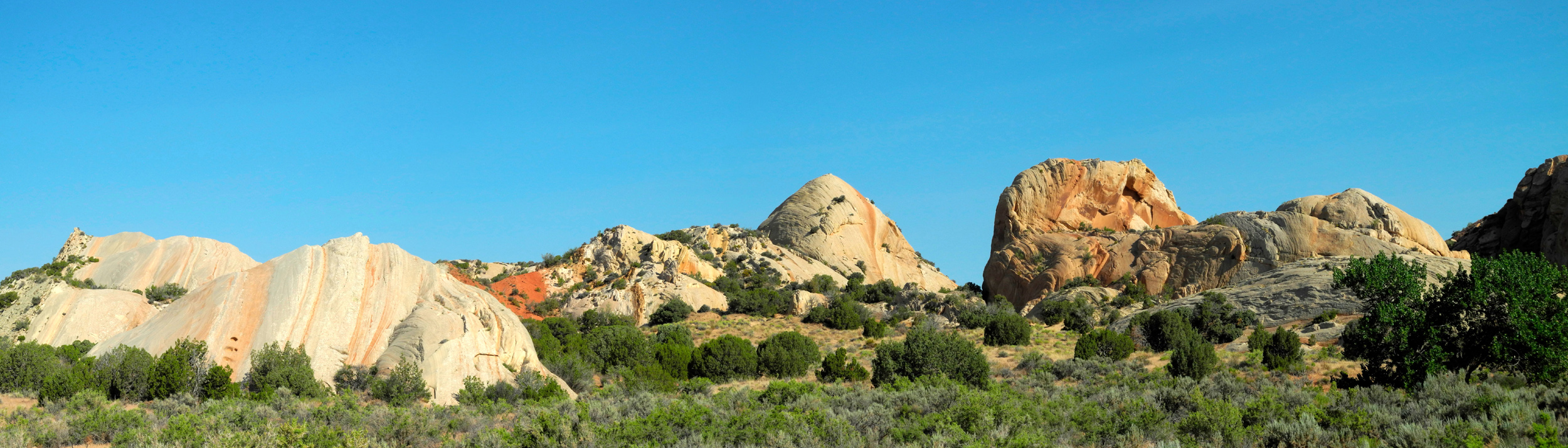
| Panorama of Turtle Rock area | |||
| Colorado & Dinosaur National Monument | |||
 |
 |
 |
|
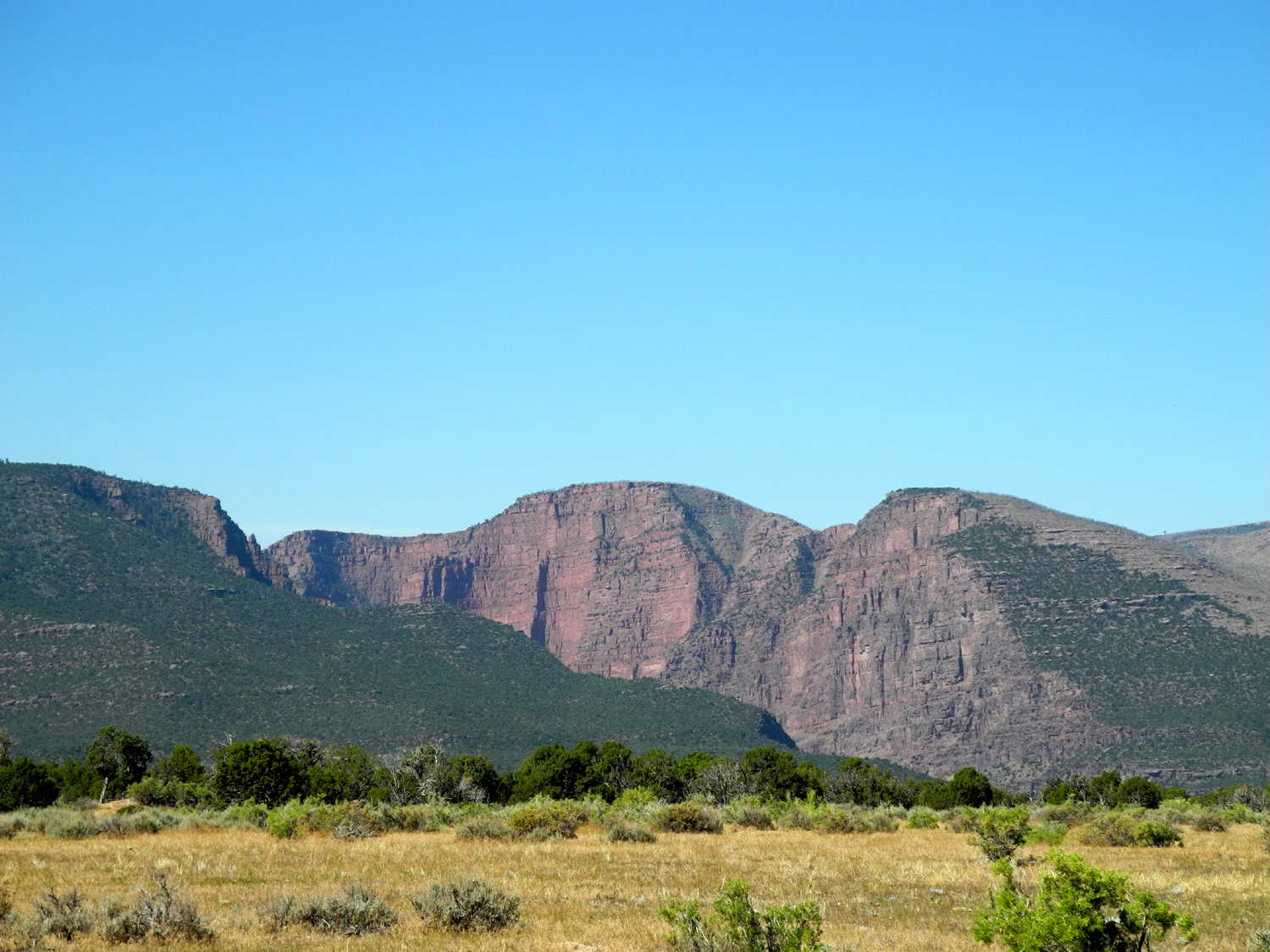
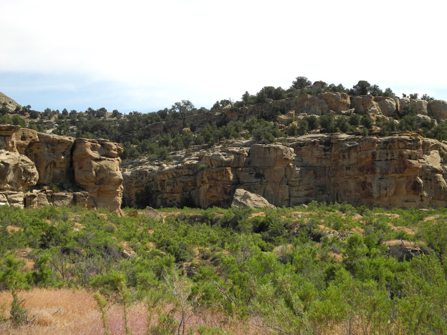
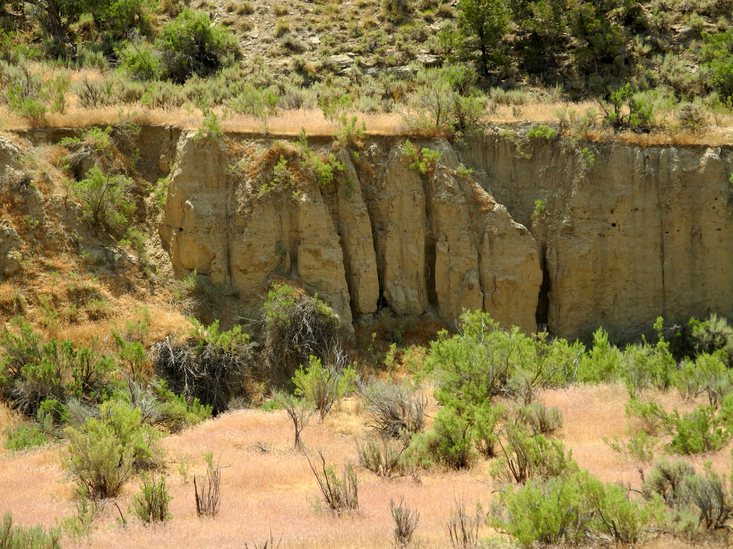
| A gully full of tumbleweeds | Street sign in the town of Dinosaur, CO | Plug Hat Butte | |
 |
 |
 |
|
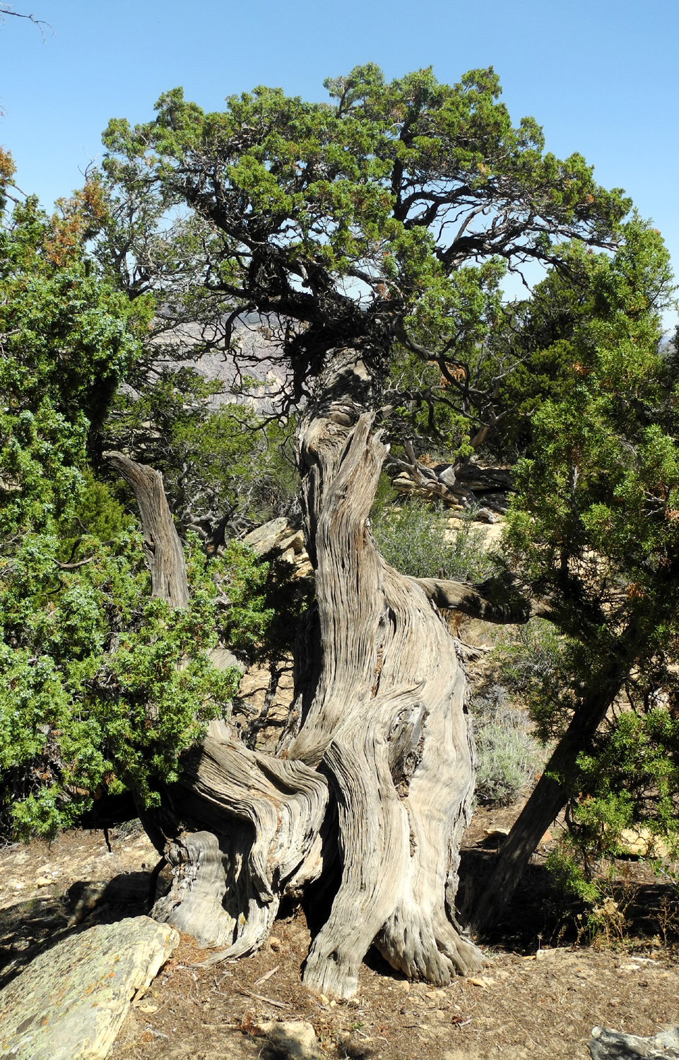
| Sagebrush and sandstone outcroppings | View from trail above the butte | Nature's
fantastic sculpture work, using a Utah juniper |
|
 |
 |
 |
|
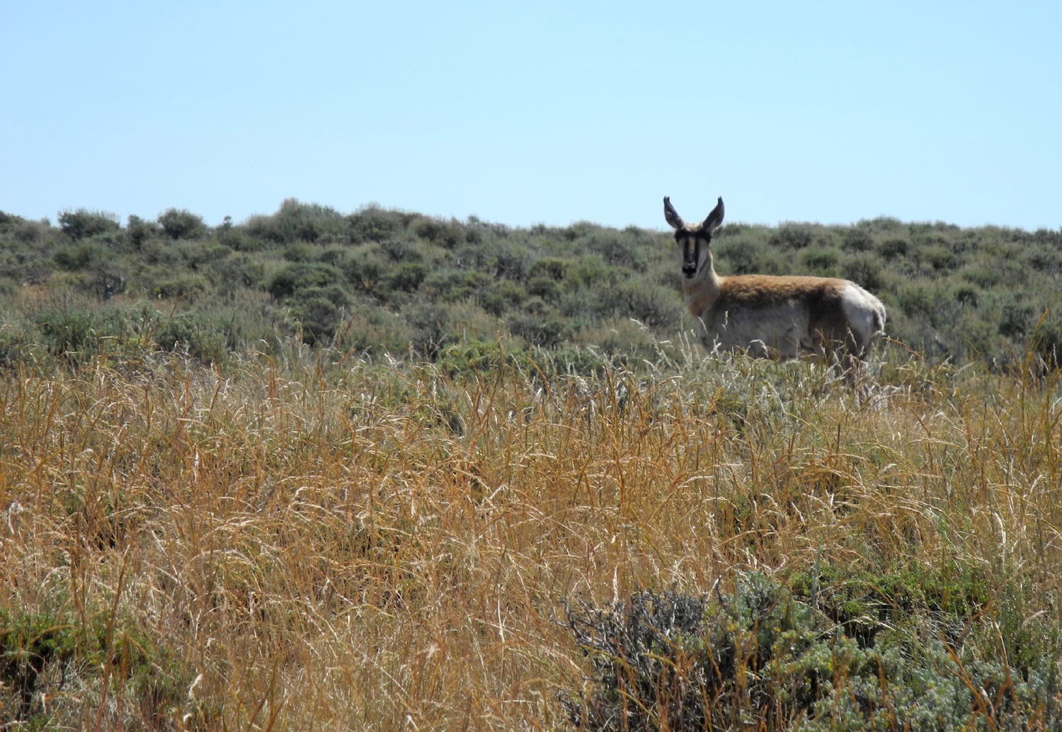
| Mulleins line up at the edge of the road by Canyon Overlook | The antelope play | Another striking juniper | |
 |
 |
 |
|
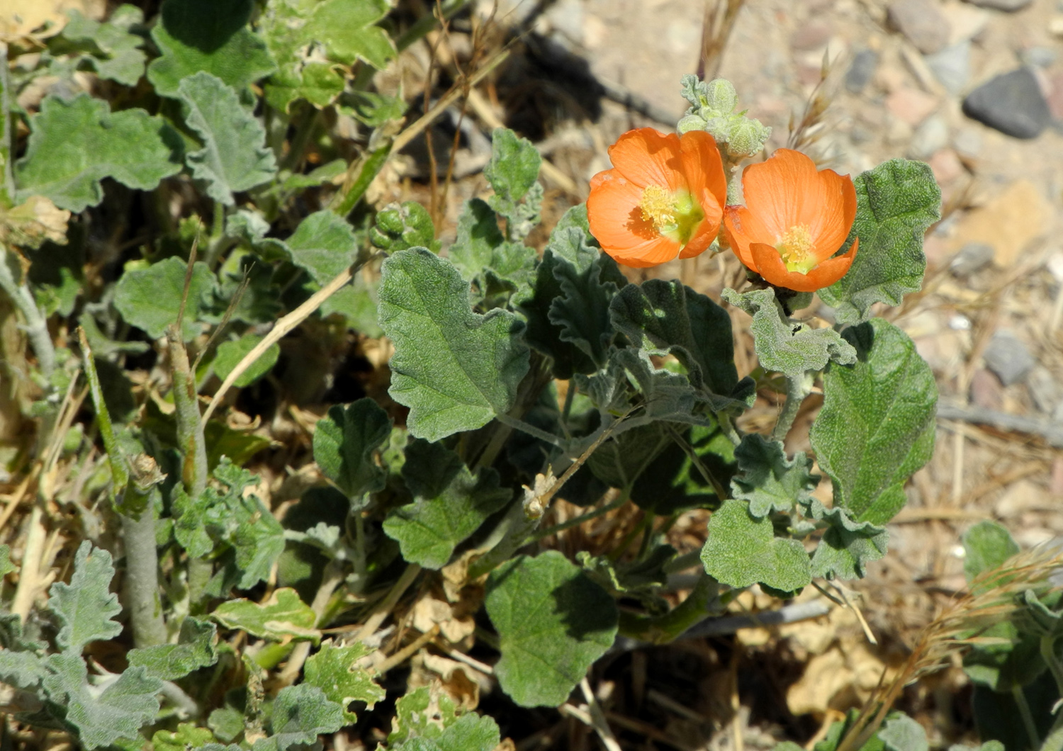
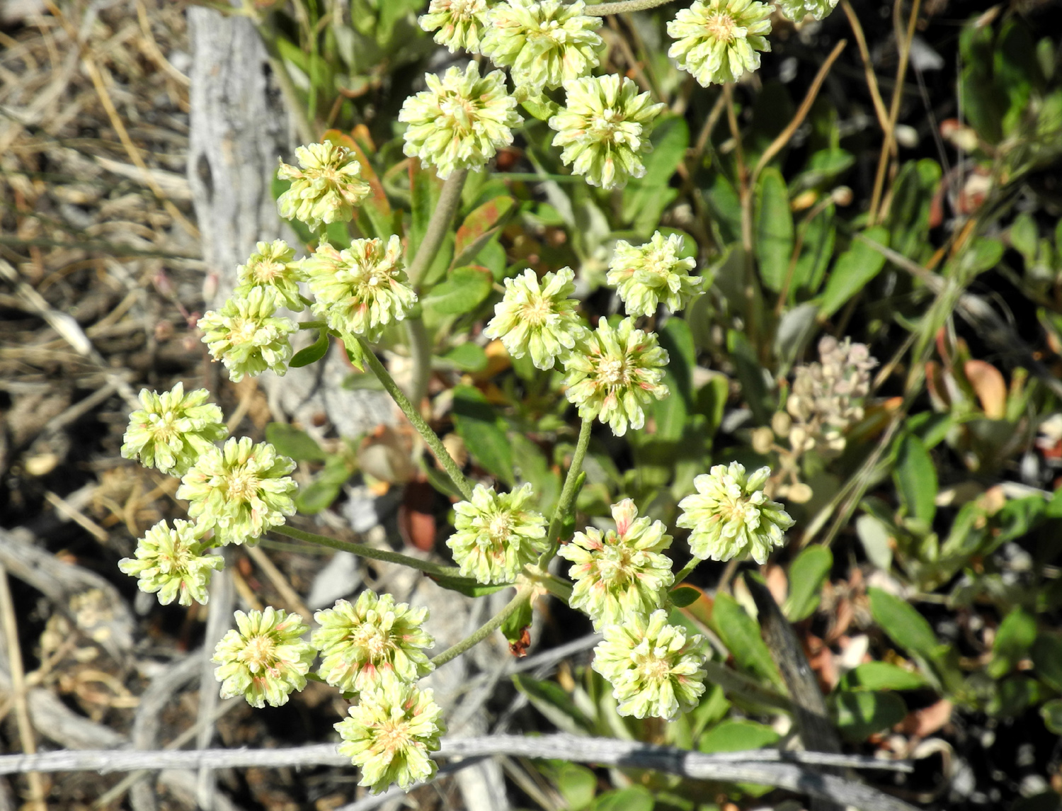
| Flowers of Dinosaur National Monument | |||
 |
 |
 |
|
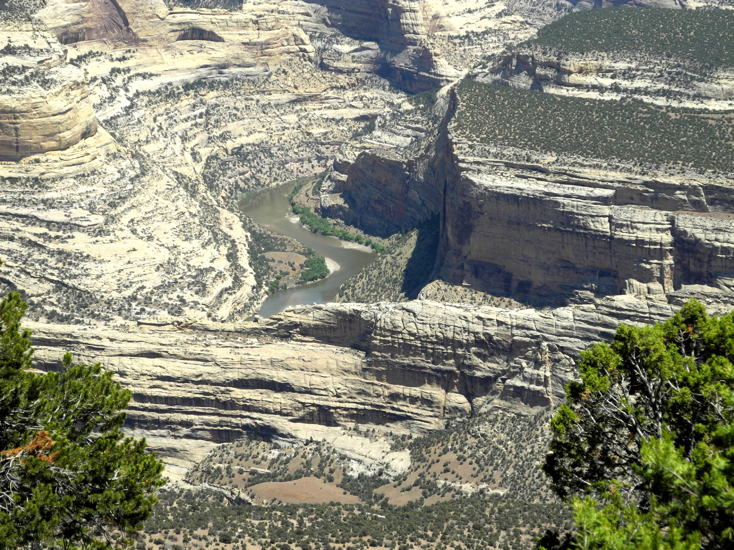
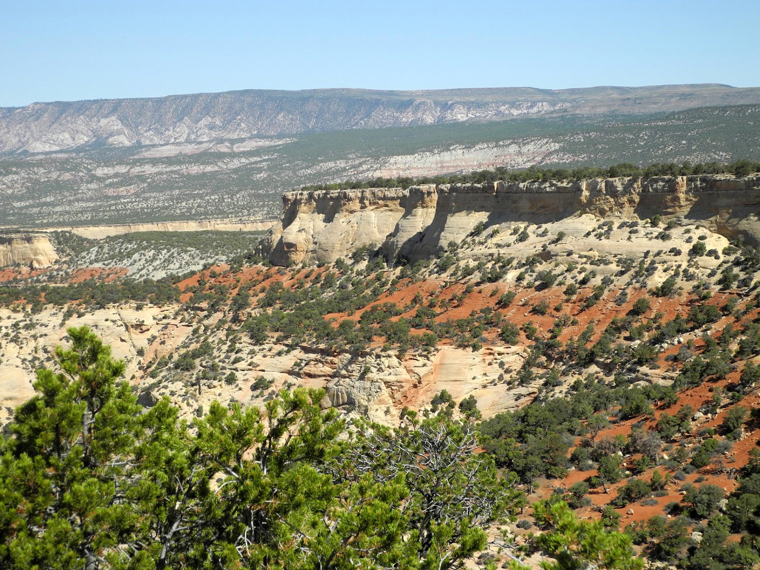
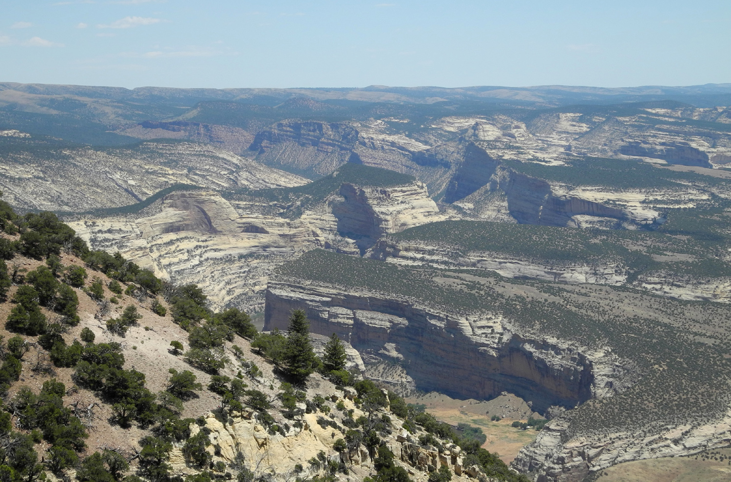
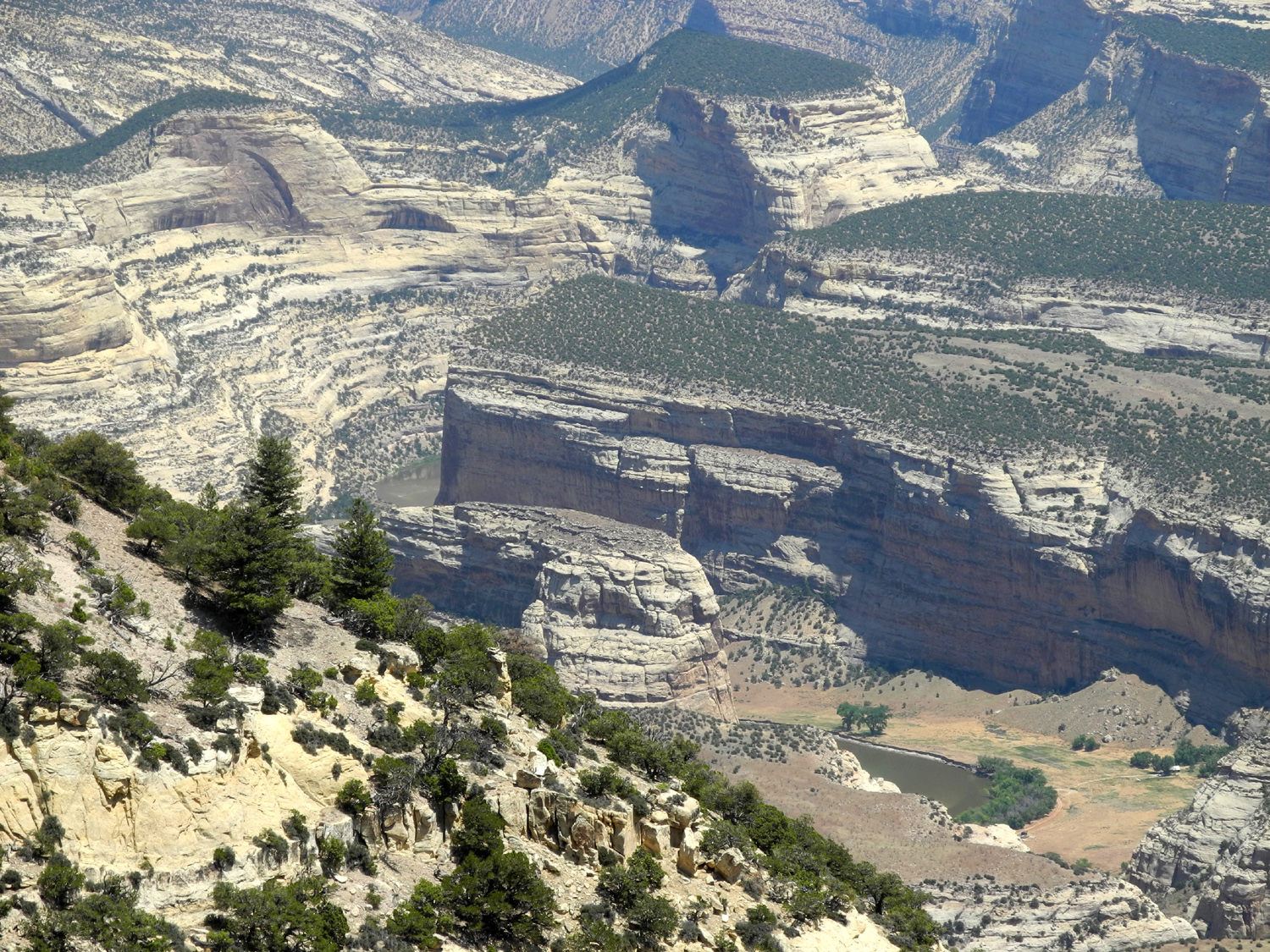
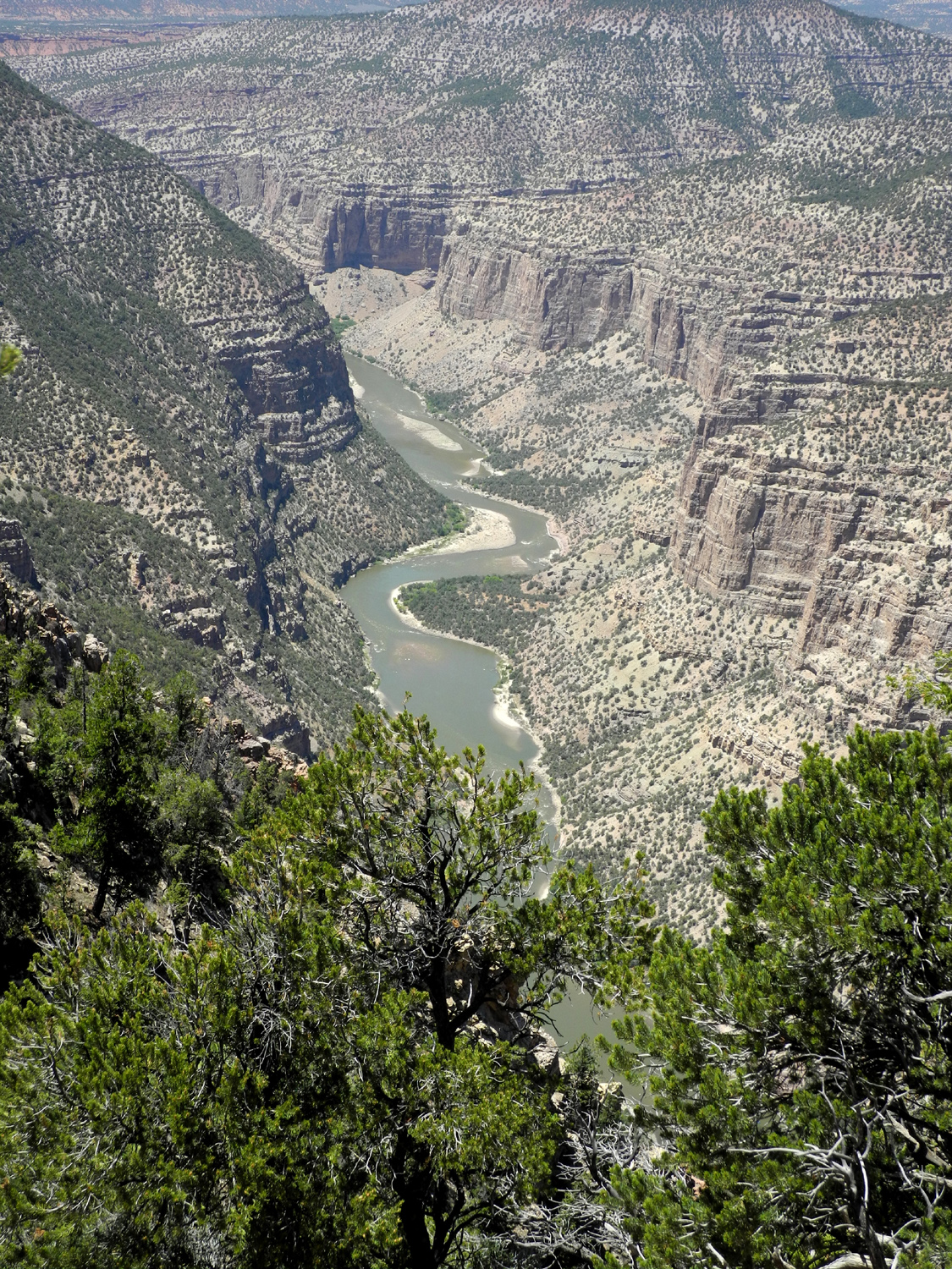
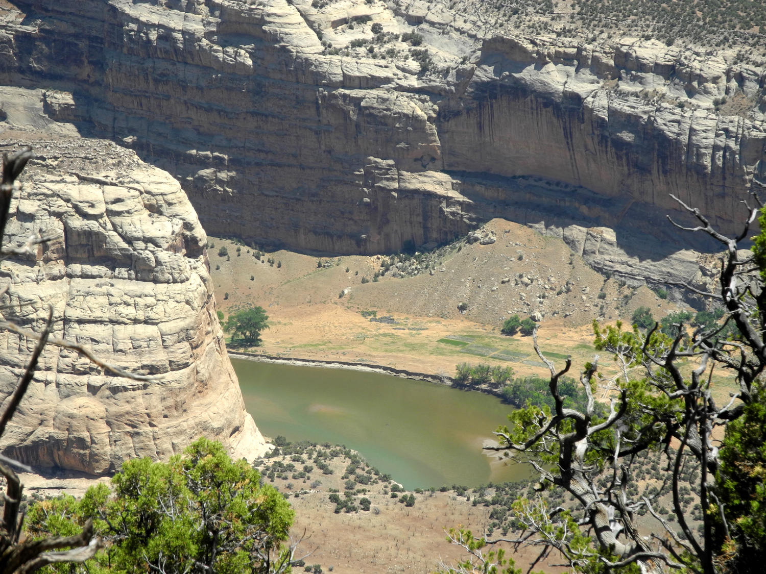
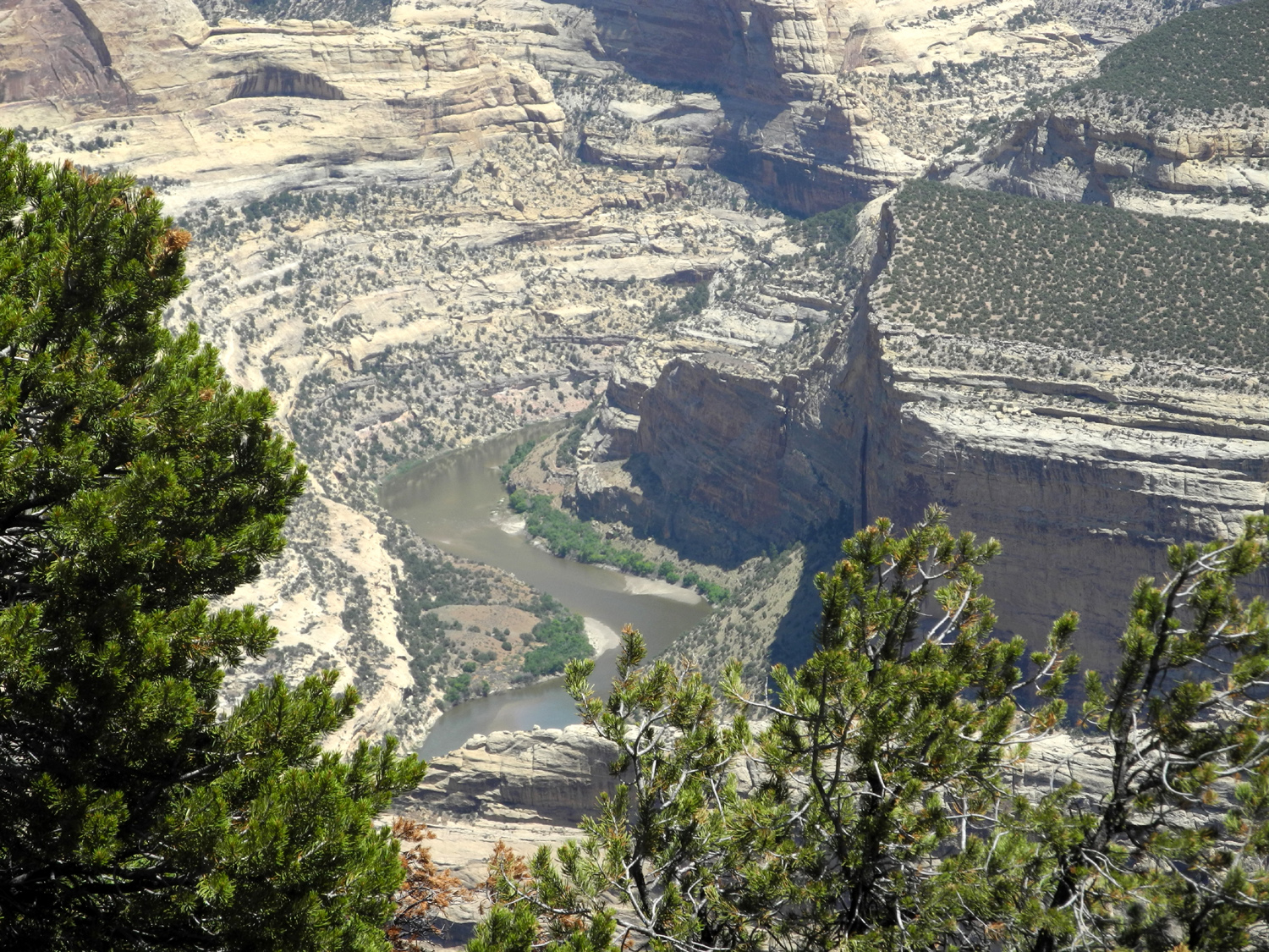
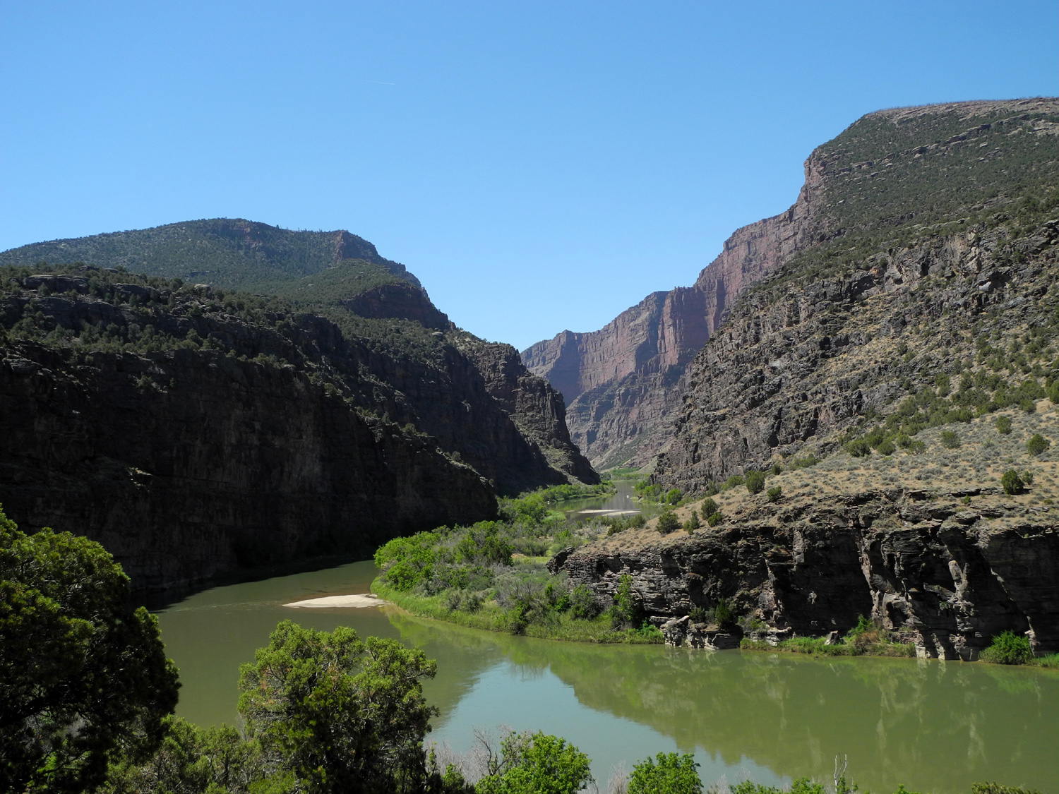
| A dramatic view of the canyons of Dinosaur National Monument | Looking down into Echo Park | Echo Park, where the Yampa meets the Green; formation just left of center is Steamboat Rock | |
|
 |
 |
|
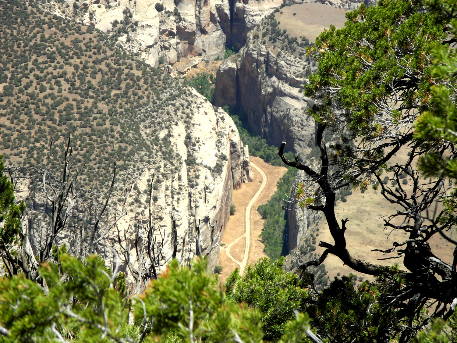
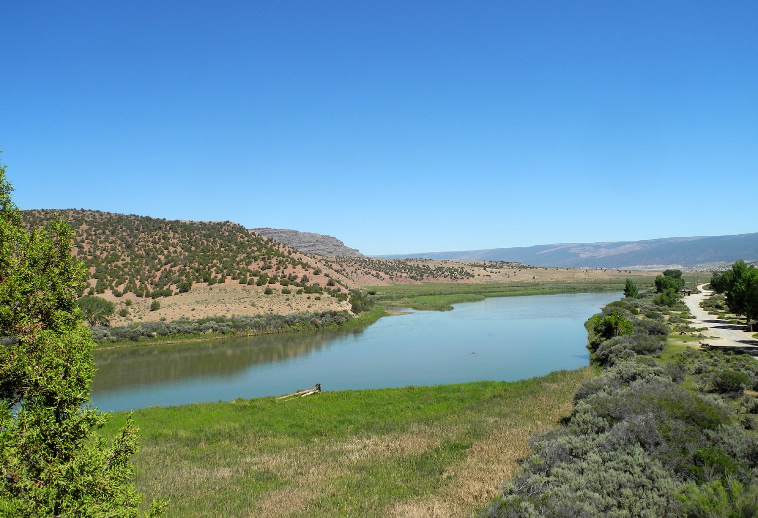
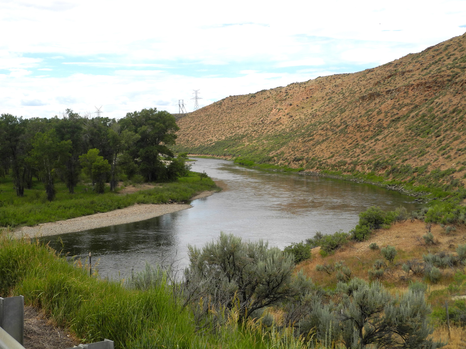
| The river and the canyon it carved | Talk about a remote road! | The Green below the confluence of the two rivers | |
 |
 |
||
| Close up in Echo Park | A twisted river | ||
 |
|||
| Echo Park panorama | |||
 |
 |
 |
|
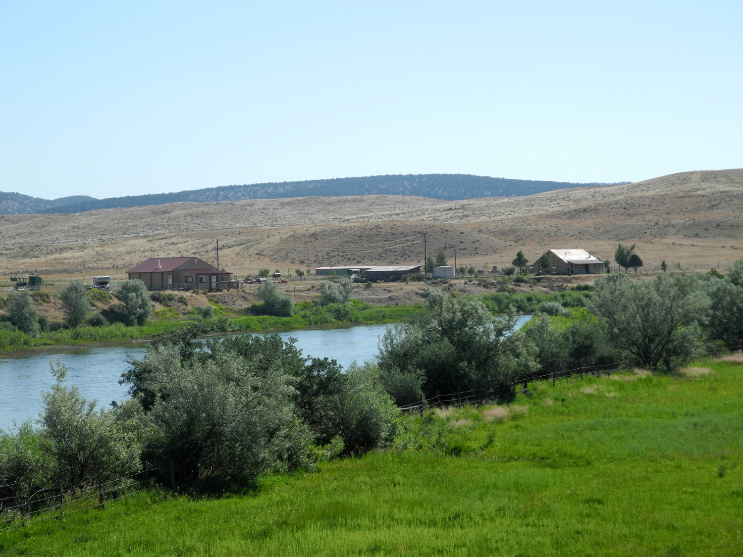
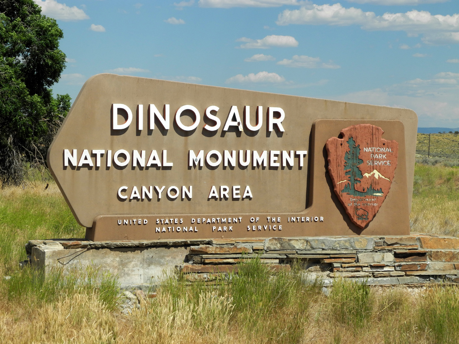
| The Yampa in a quieter mood | Entrance sign to the Colorado section of the monument | Flower in the northern section of Dinosaur Monument | |
 |
 |
 |
|
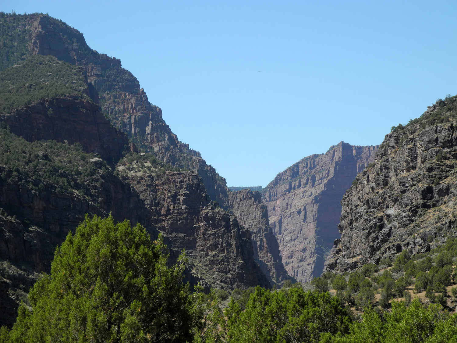
| The gates to the Gates | The Green River above the Gates | Red cliffs above the Green River, viewed from Colorado 318 | |
 |
 |
 |
|
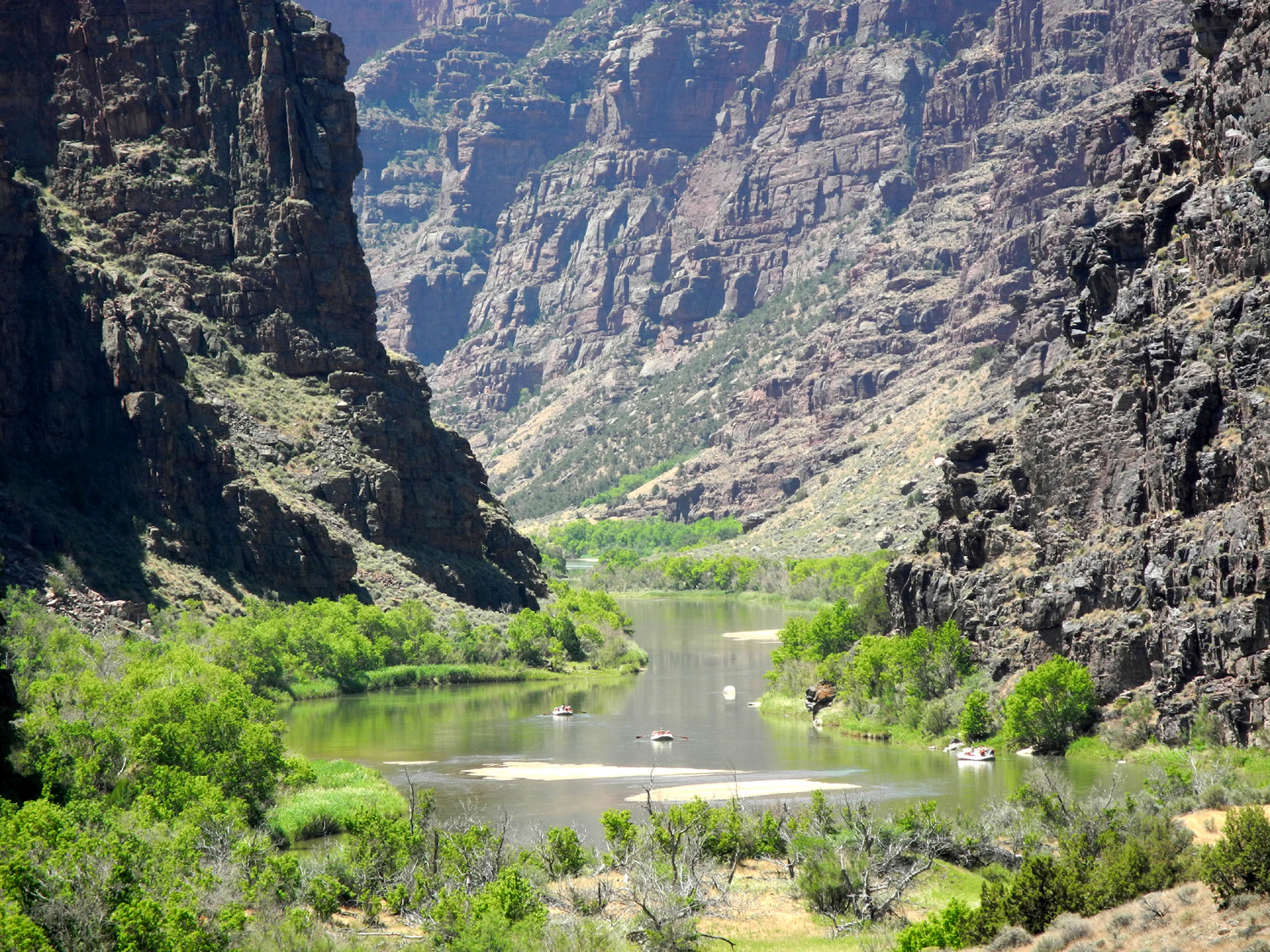
| From the trail approaching the Gates | Another view from the trail | This peaceful section belies the rapids that lie ahead | |
 |
 |
 |
|
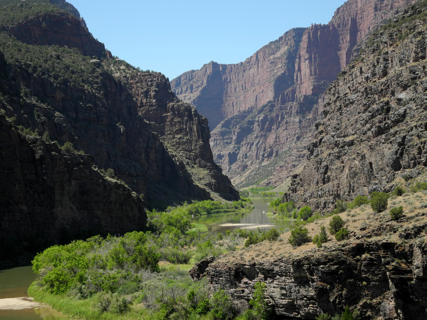
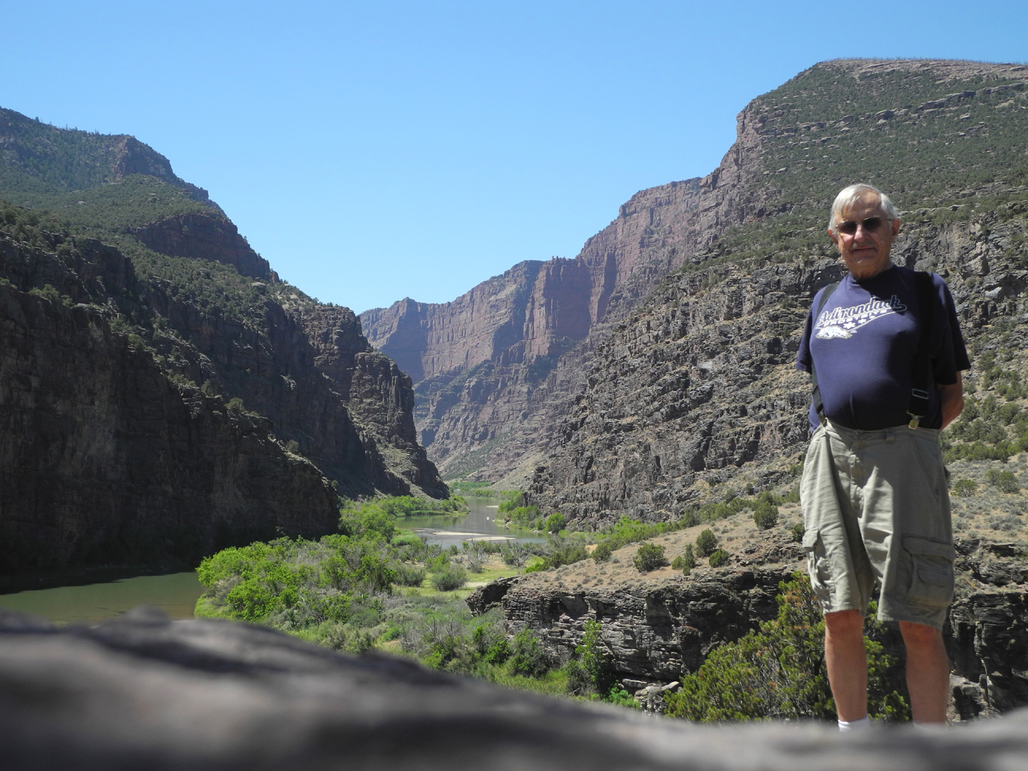
| Following in the path of Powell | The Gates of Lodore | At the end of the trail | |
 |
 |
||
| Rock formation by the trail | The Lizard of Lodore | ||
 |
|||
| The Green River enters the Gates of Lodore | |||
 |
 |
 |
|
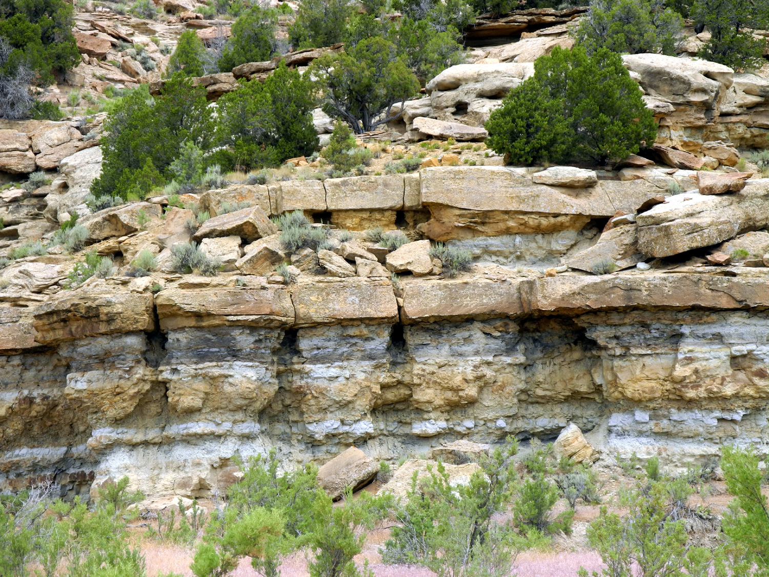
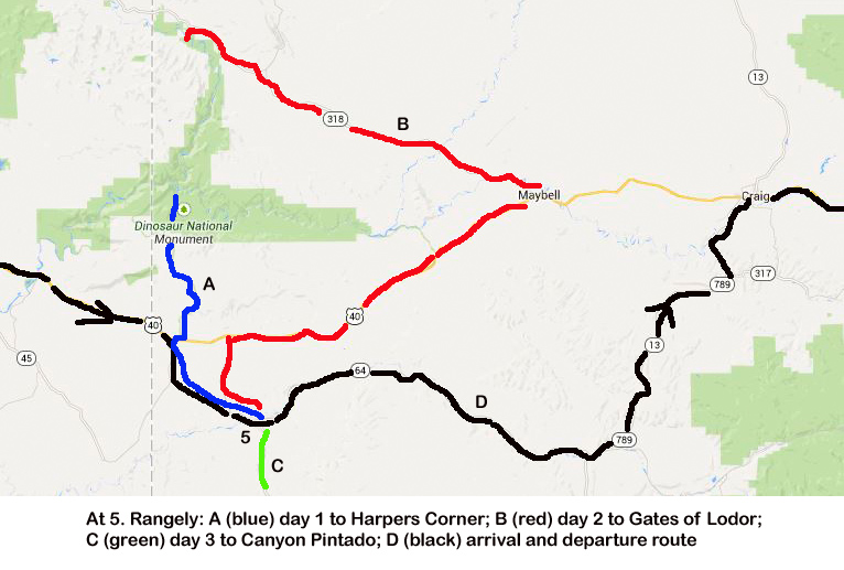
| Cliffs in the Canyon Pintado Historic District south of Rangely, CO | |||
 |
 |
 |
|
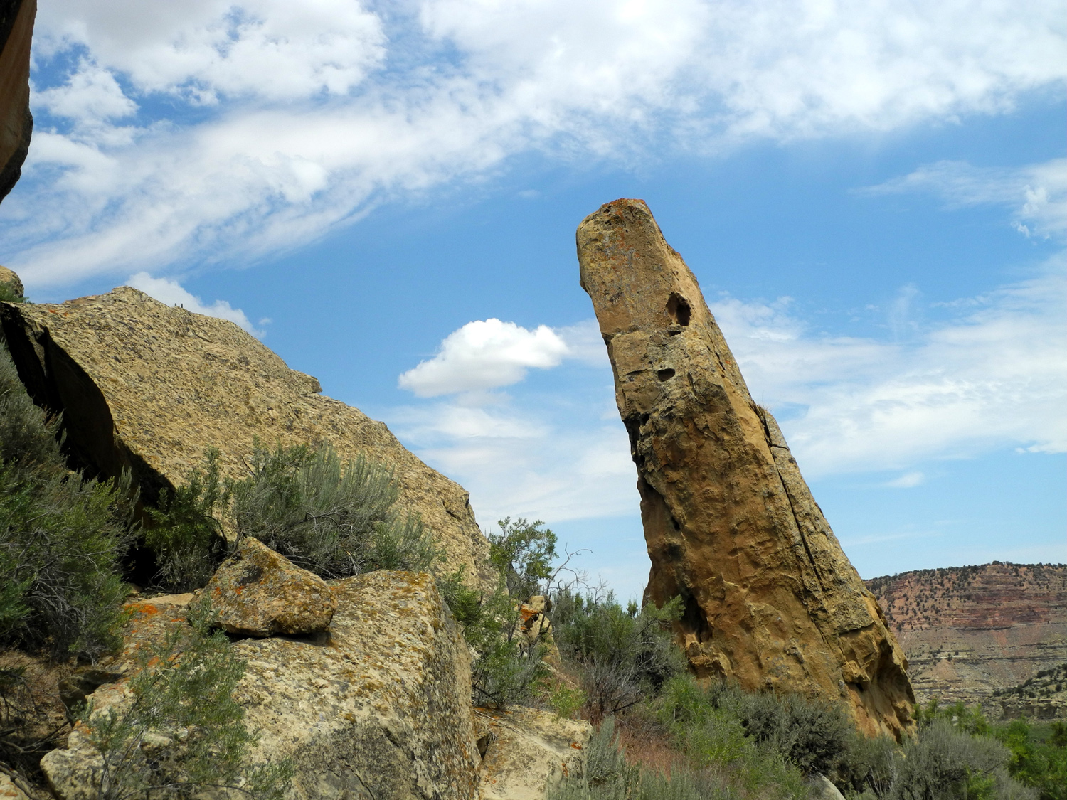
| Rock formations on Colorado
64 northwest of Rangely |
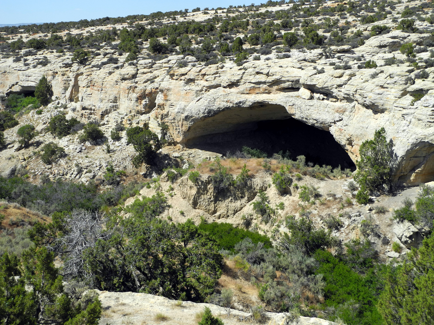
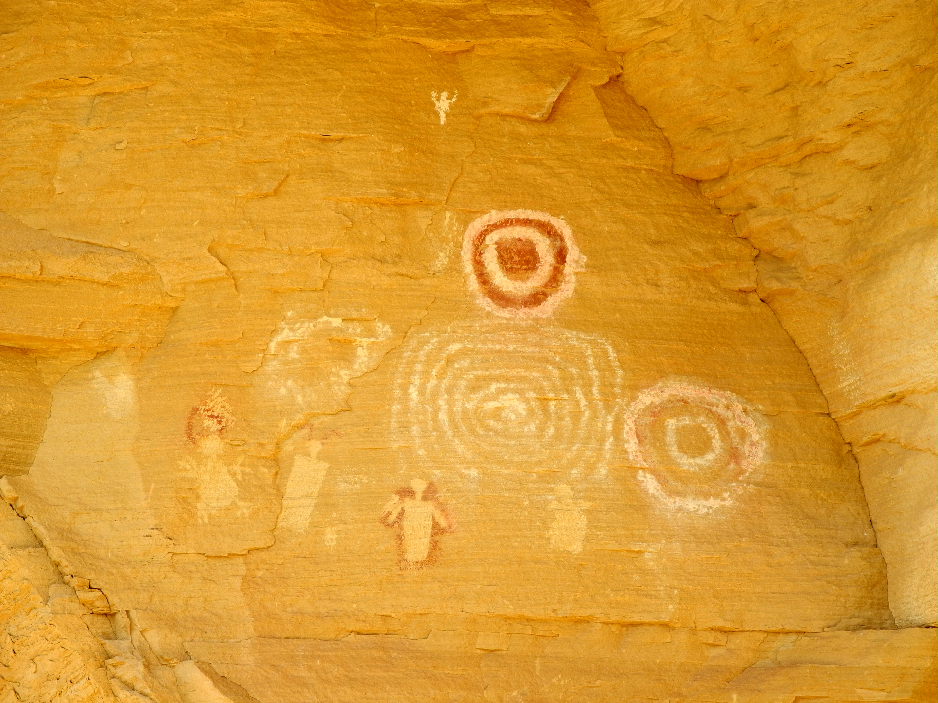
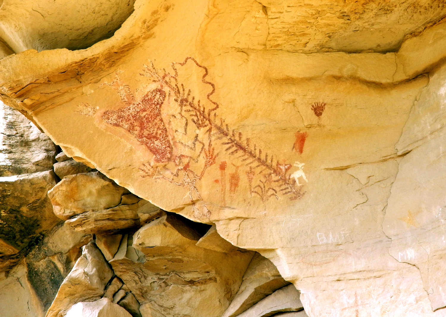
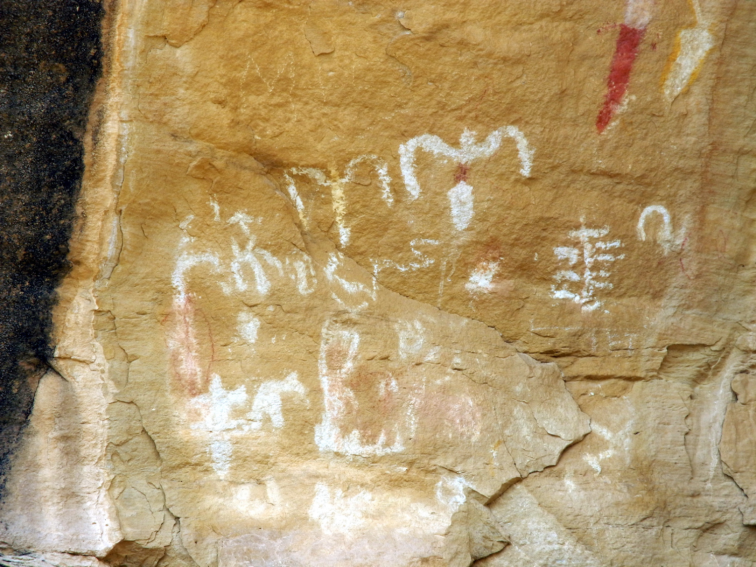
Rock paintings in Four Mile Draw | Old line shack in the canyon | |
 |
 |
 |
|
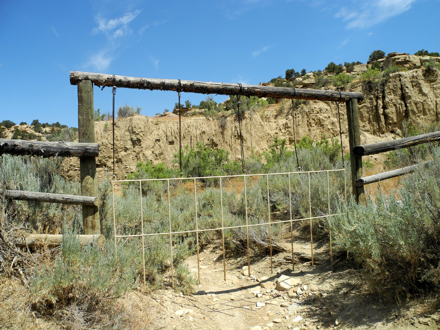
| A gate
to keep cows out and let water and debris through |
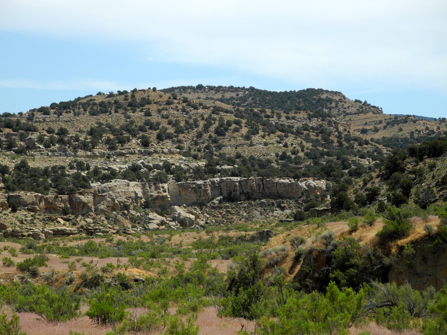
A view across Four Mile Draw | Eroded cliff in the draw | |
 |
 |
 |
|
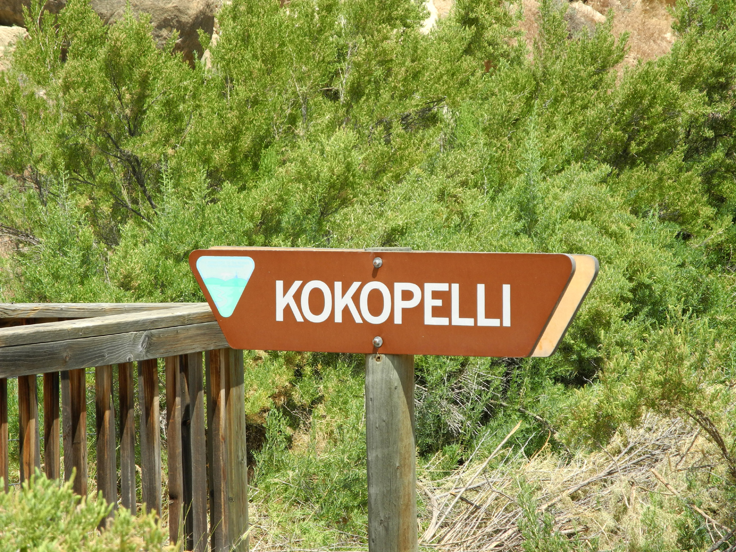
| One of the most popular characters of the southwest | Kokopeli and another figure | A closer look | |
 |
 |
 |
|
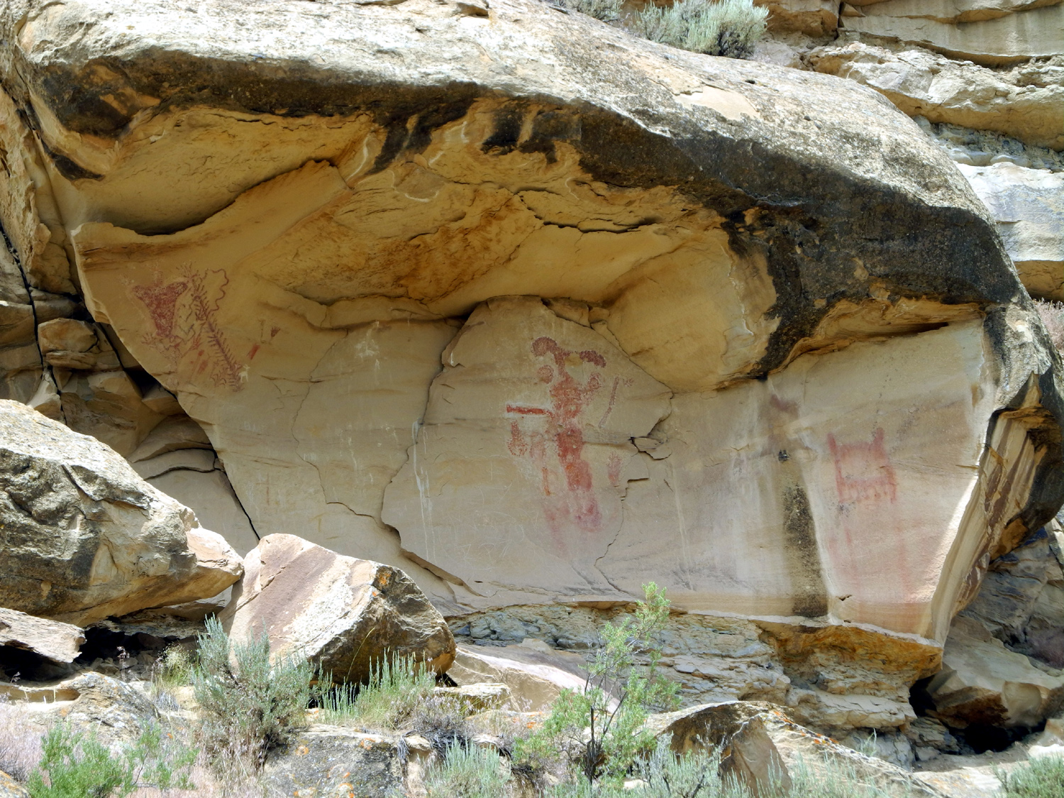
| A lance painted on the rock | Formation near Kokopelli | The White Bird site | |
 |
 |
 |
|
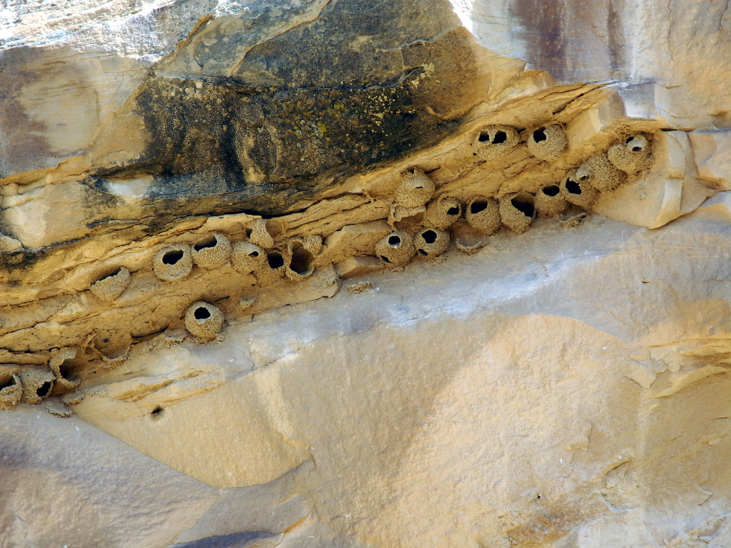
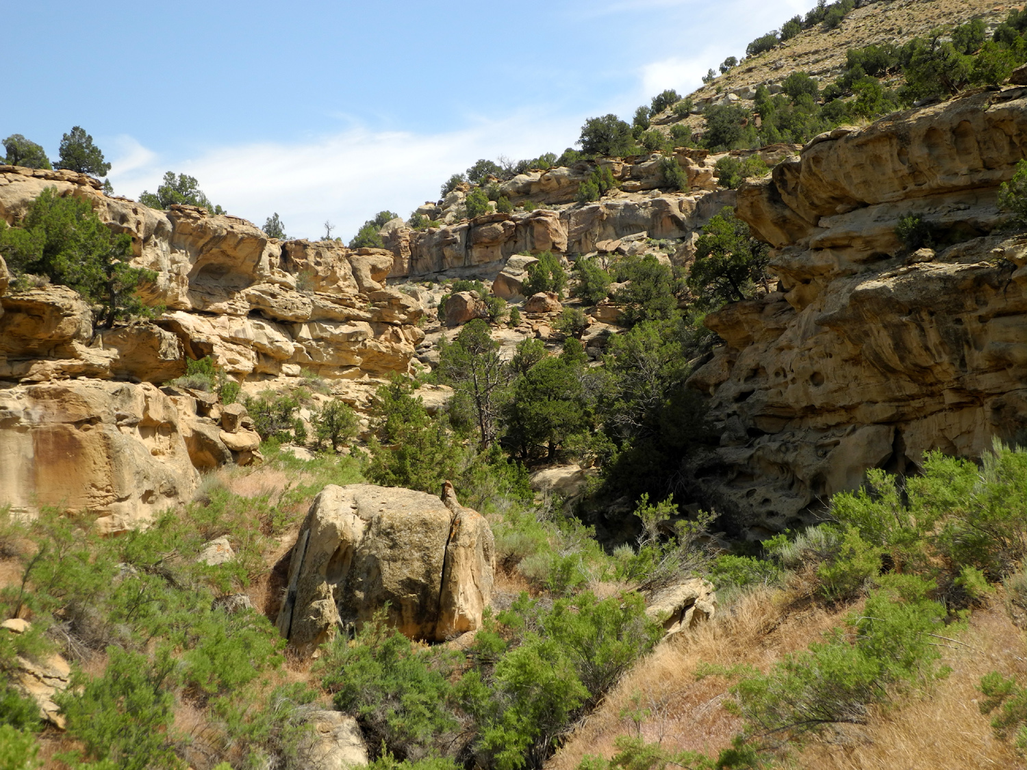
| Swallows nests in the cliffs | A rock strewn canyon | Cliff along Canyon Pintado road | |
 |
 |
 |
|
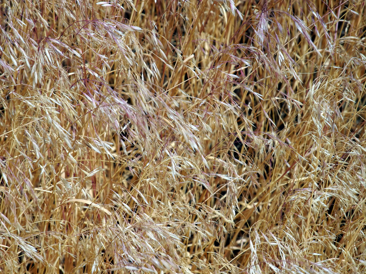
| A field of grass | Grasses and scrub brush | Cottontail rabbit | |
 |
 |
 |
|
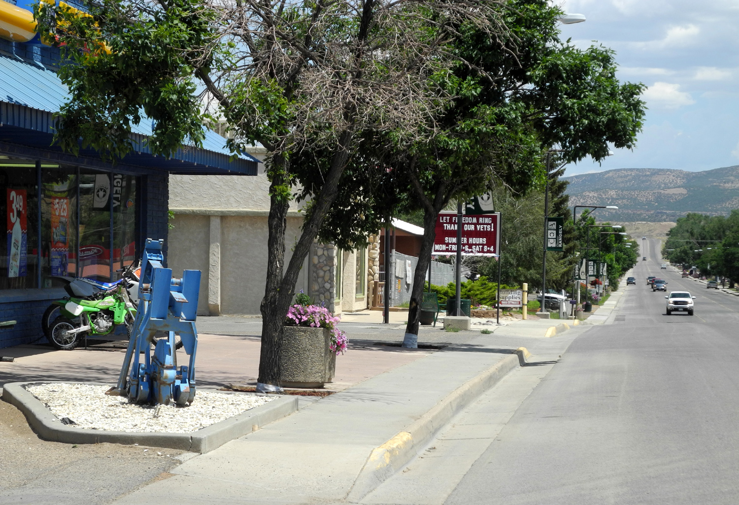
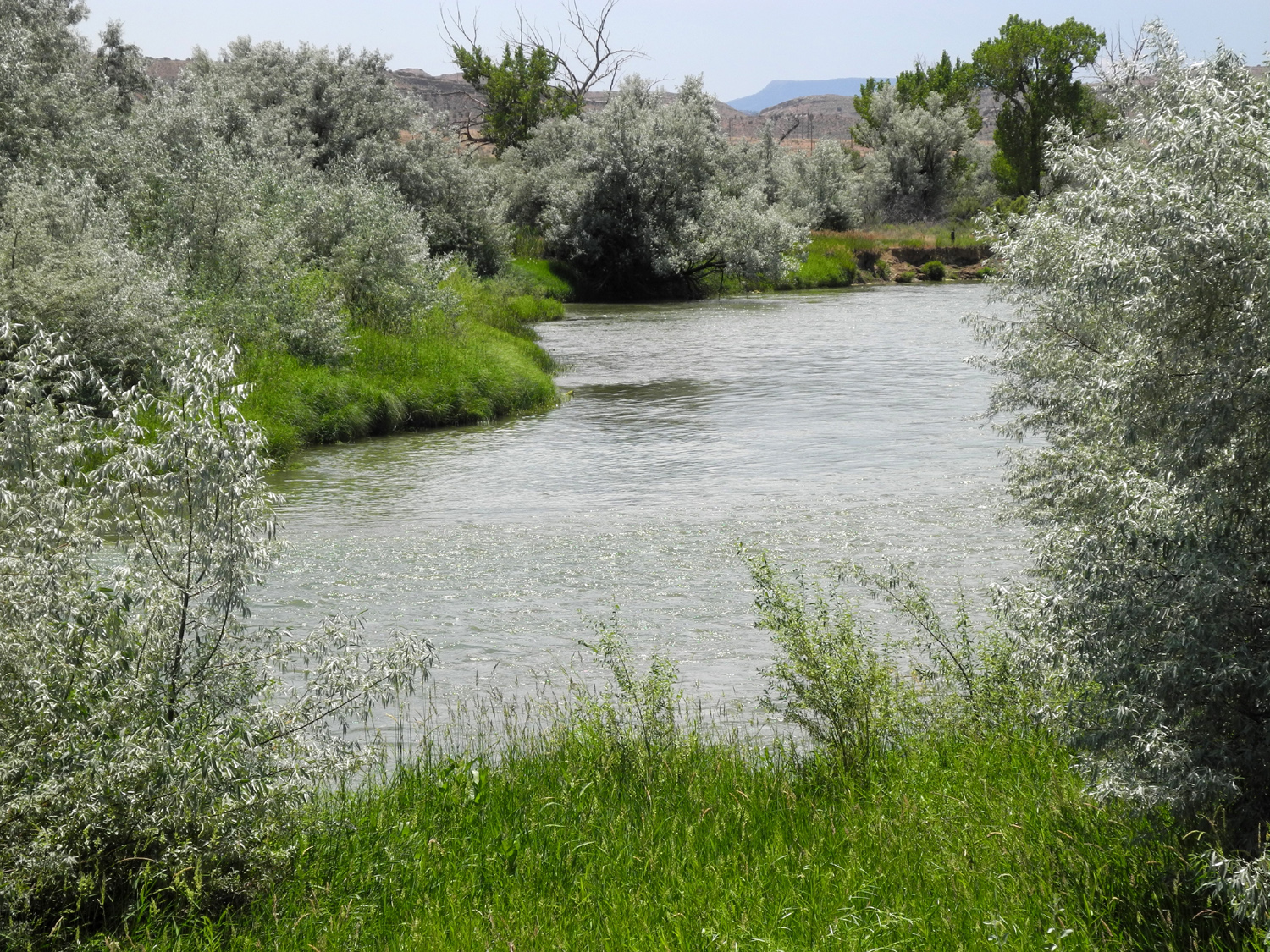
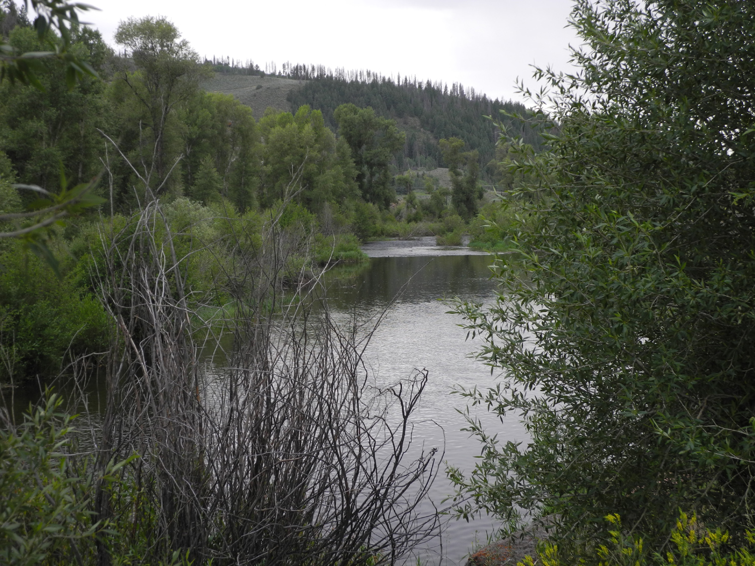
| Oil pump near Rangely Museum | Downtown Rangely, CO | White River near Rangely | |
 |
 |
 |
|
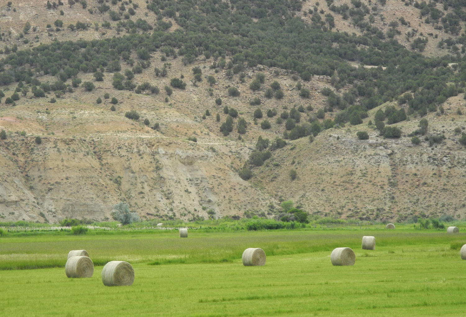
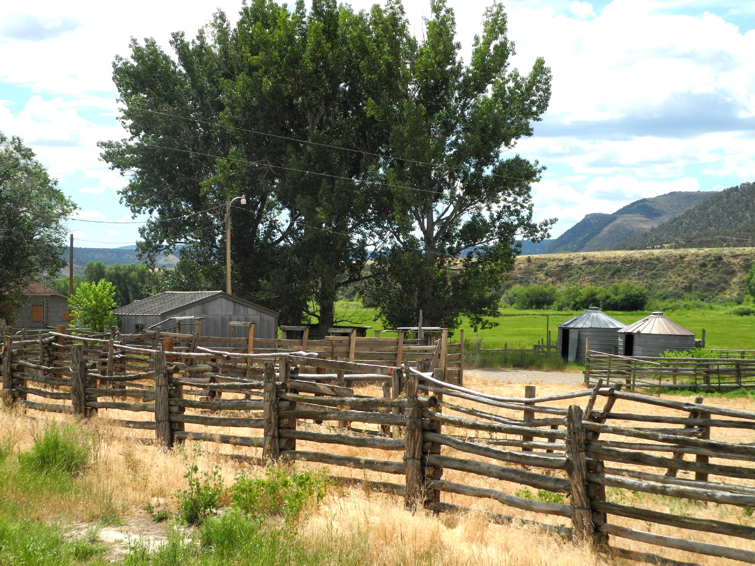
|
Hay
bales along the White River on |
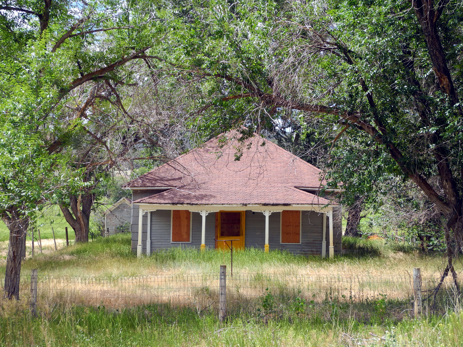
Abandoned ranch along CO 64 | The ranch house | |
| Colorado & Rocky Mountain National Park | |||
 |
 |
 |
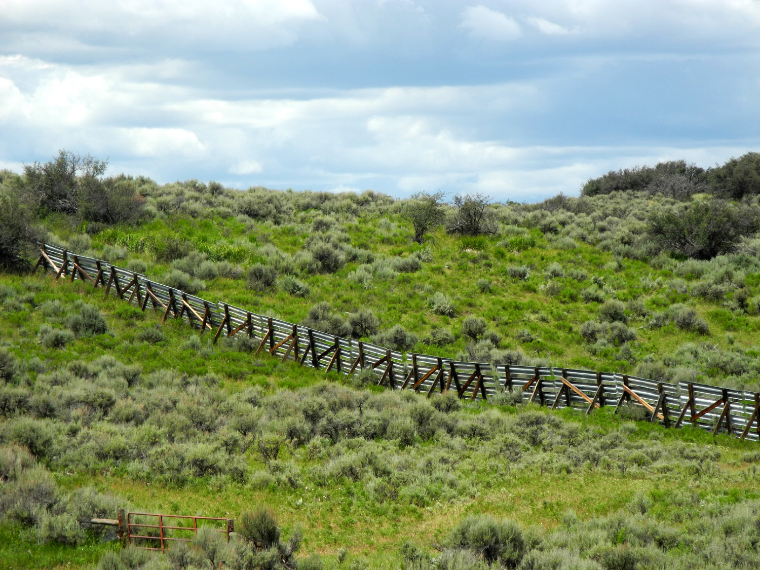
|
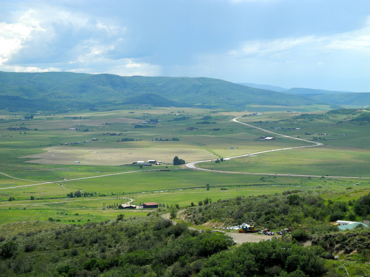
| Snow fence on CO 13 | The Yampa again, by CO 13 | Yampa Valley along US 40 | |
 |
|||
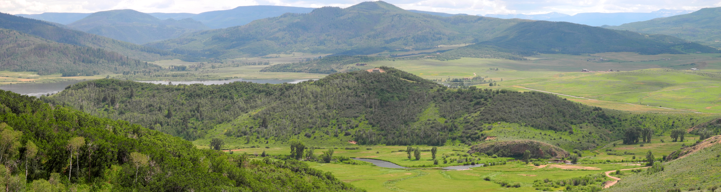
| Yampa Valley Panorama | |||
 |
 |
 |
|
| Another abandoned homestead |
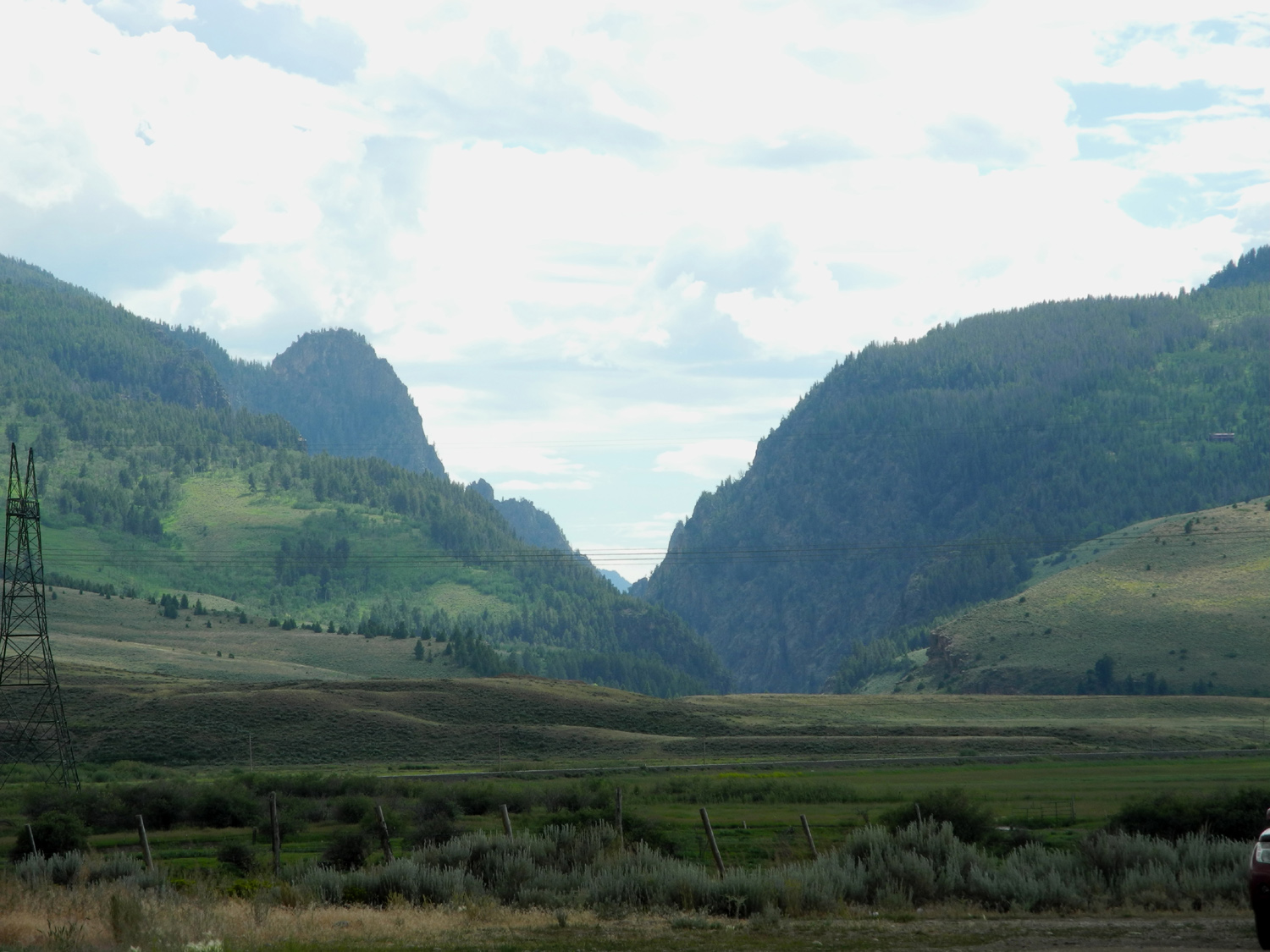
US 40 enters the Colorado River canyon |
My first view of the Colorado river IN Colorado | |
 |
|||
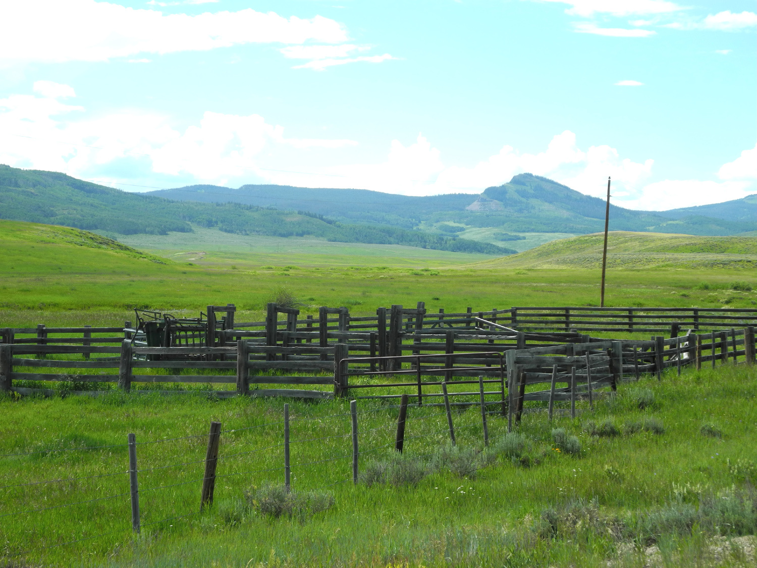
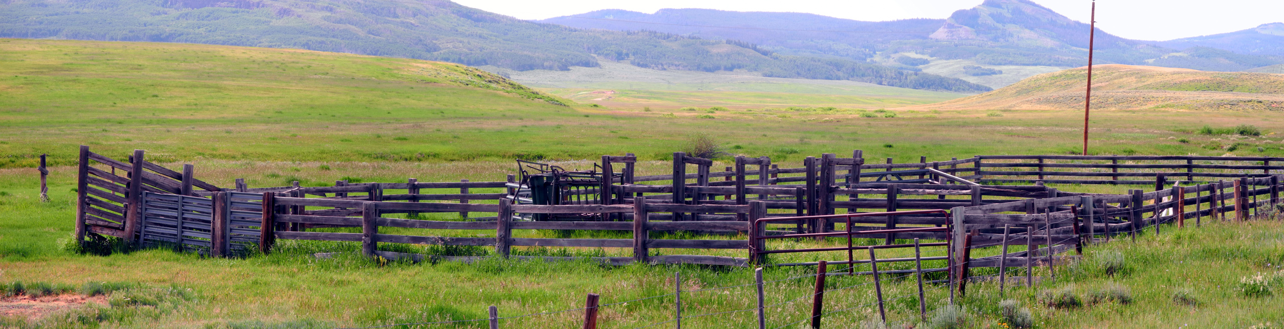
| Colorado corral | |||
 |
 |
 |
|
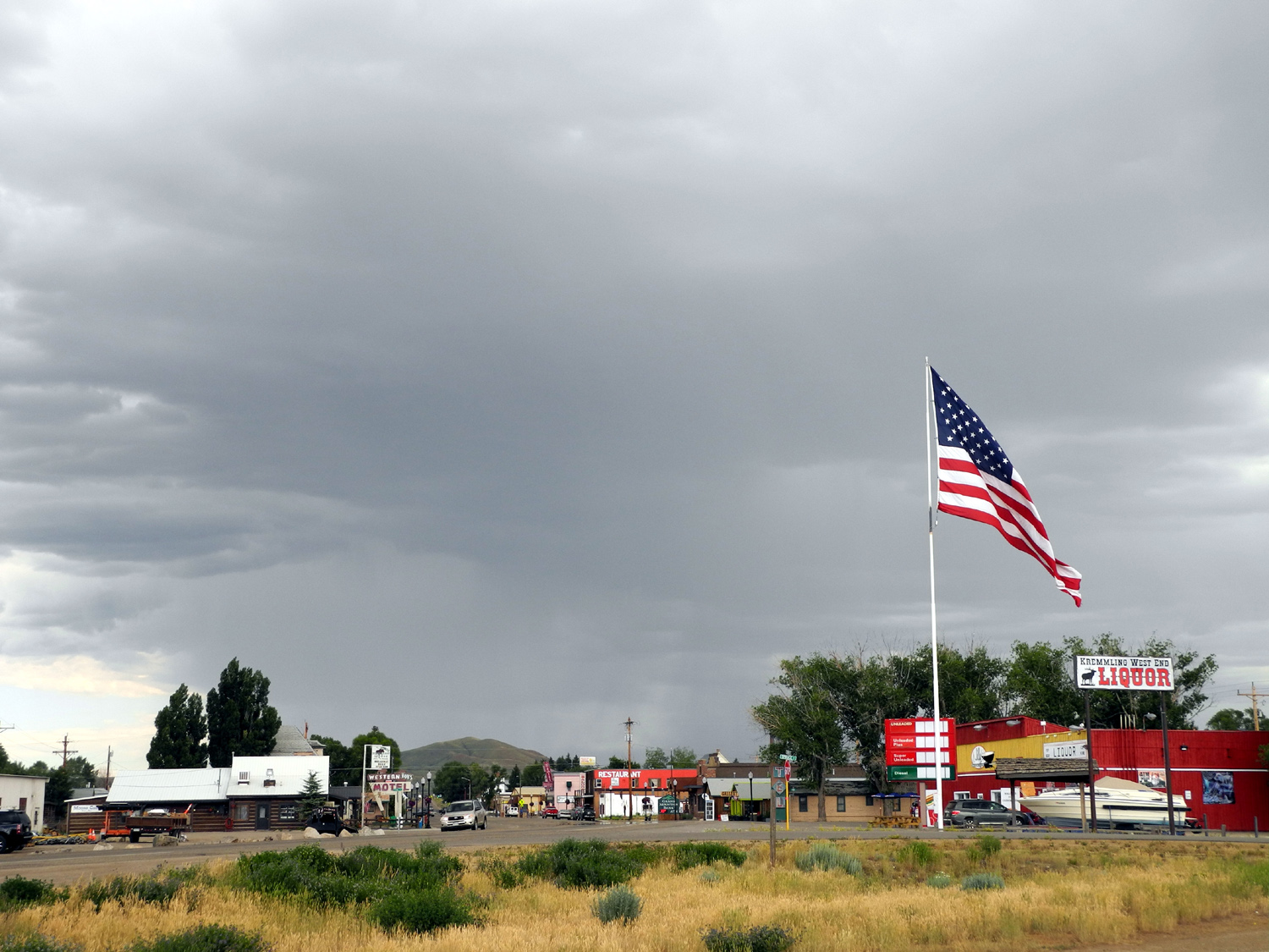
| Storm over Kremmling, CO | Granby
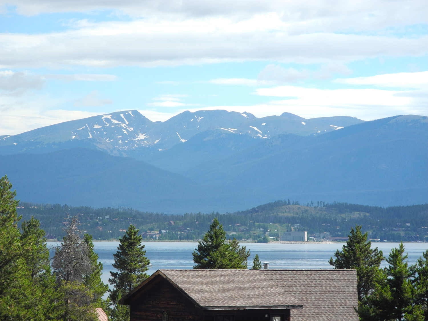
Lake at the edge of Rocky Mountain National Park |
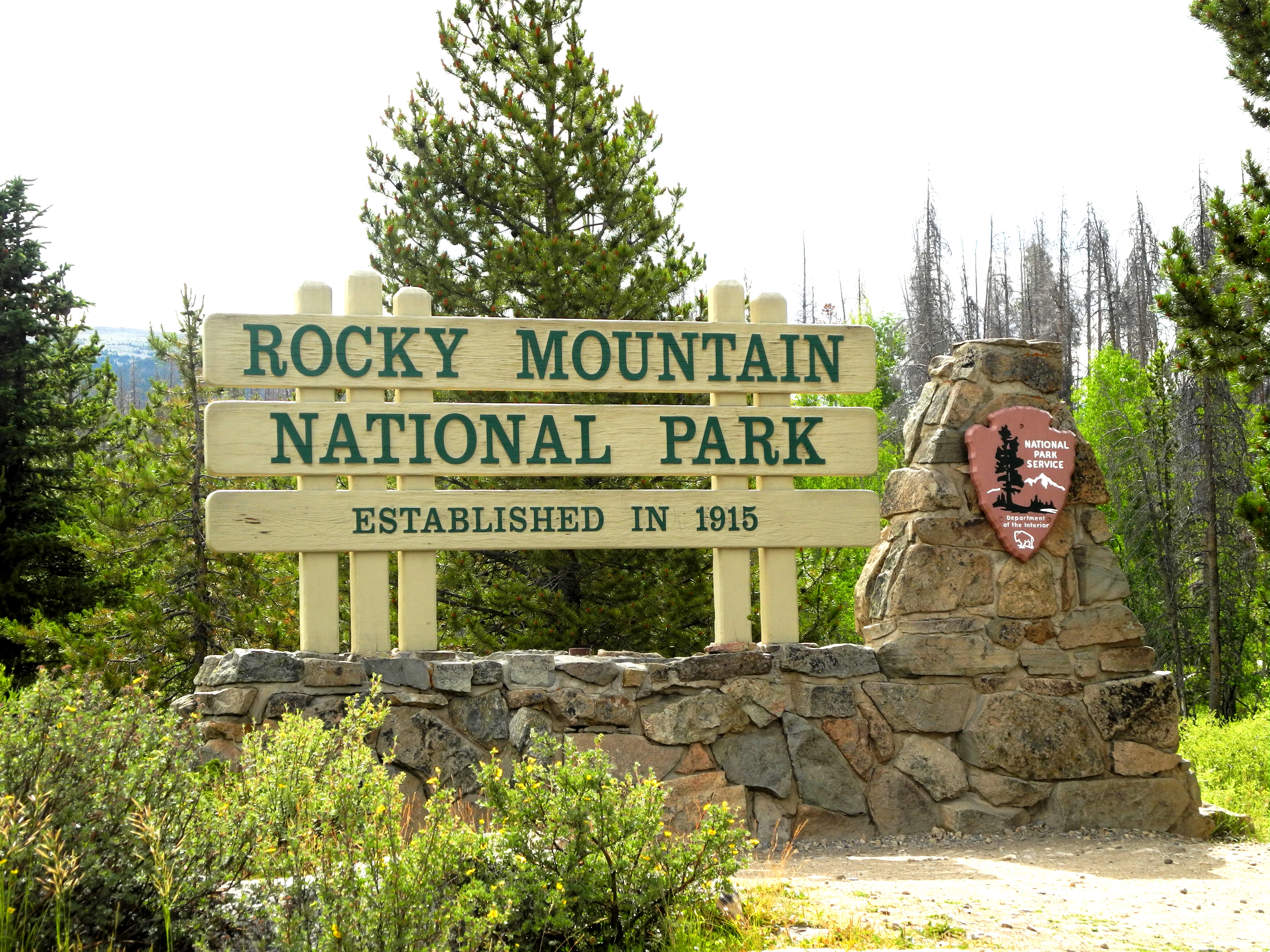
Entering the park | |
 |
|||
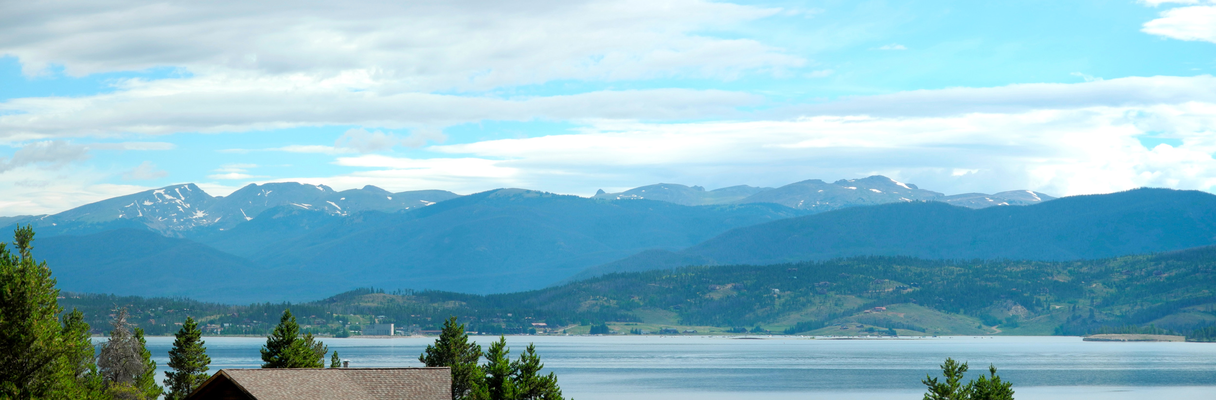
| Lake Granby and the Rocky Mountains | |||
 |
 |
 |
|
|
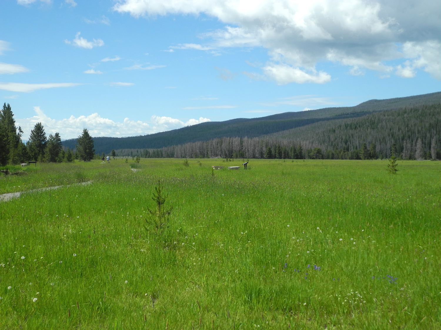
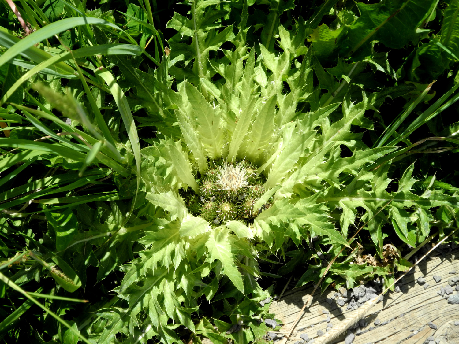
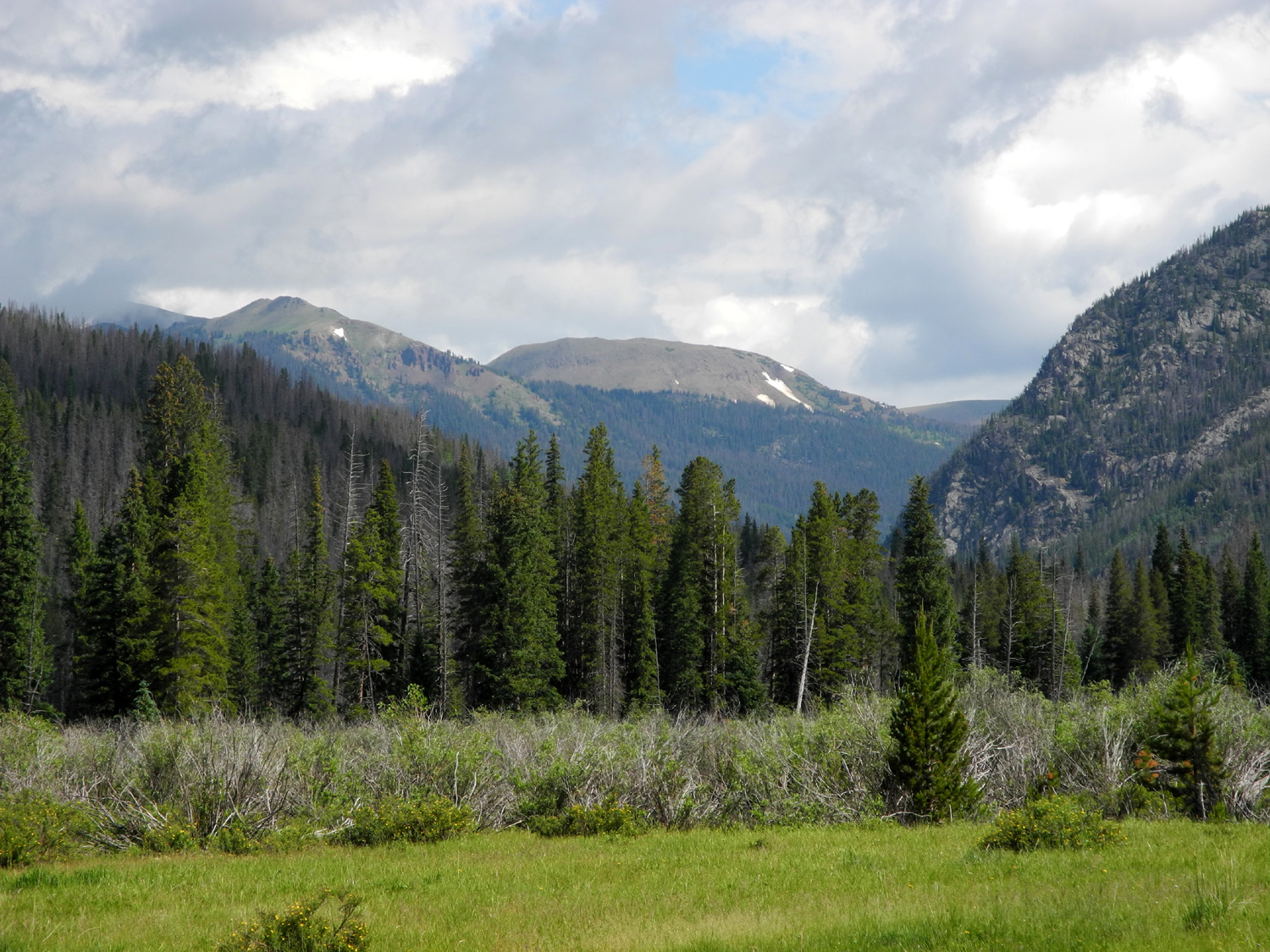
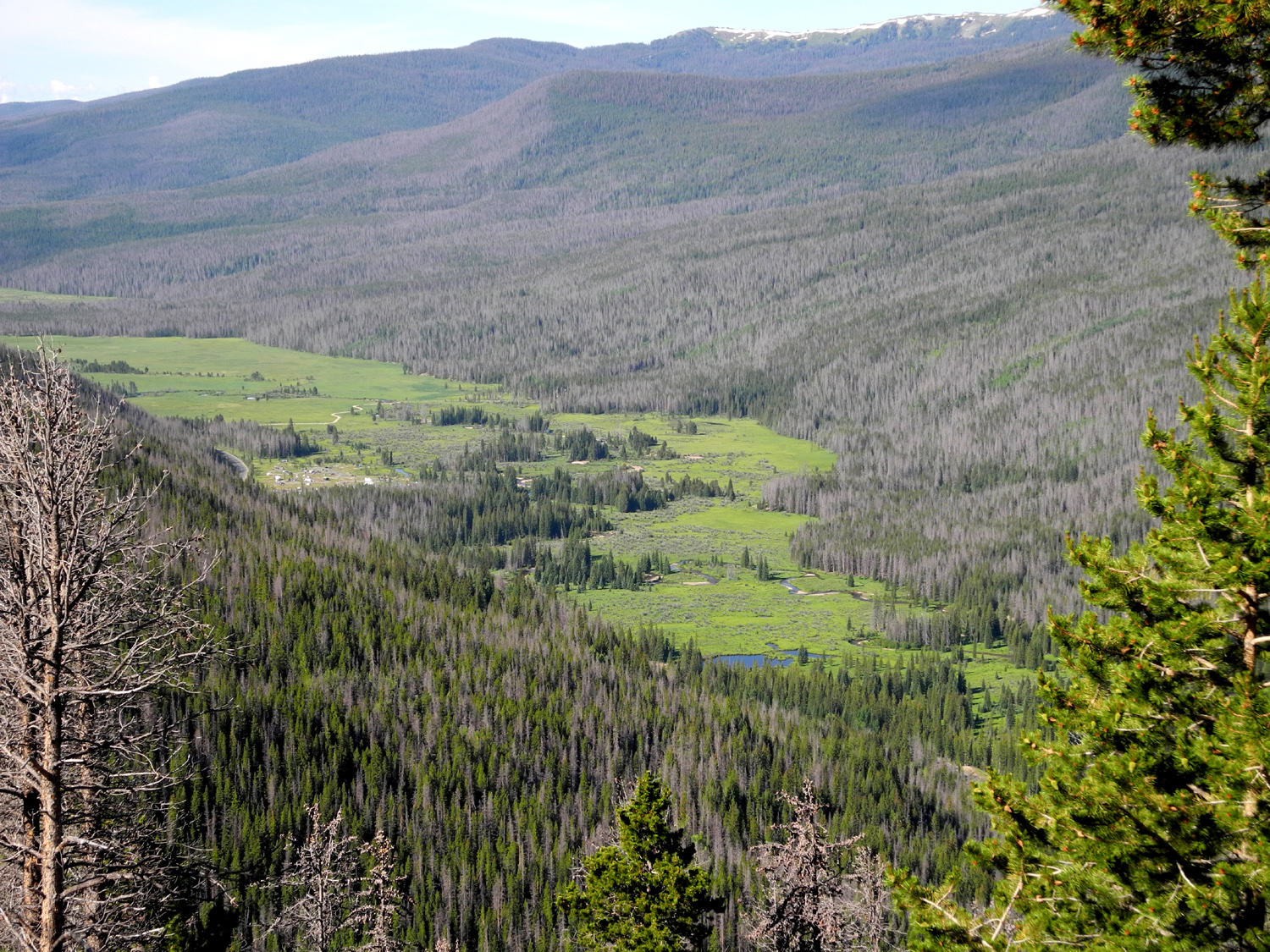
The Colorado in the Kawuneeche Valley |
The Kawuneeche Valley | This thistle keeps its heads down where the leaves offer maximum protection | |
 |
|||
| Kawuneeche Valley | |||
 |
 |
 |
|
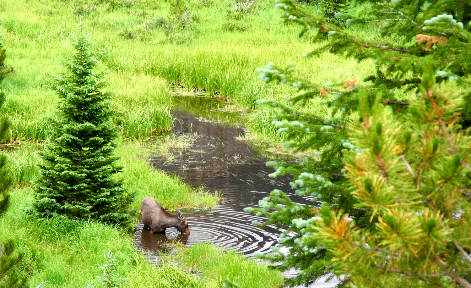
|
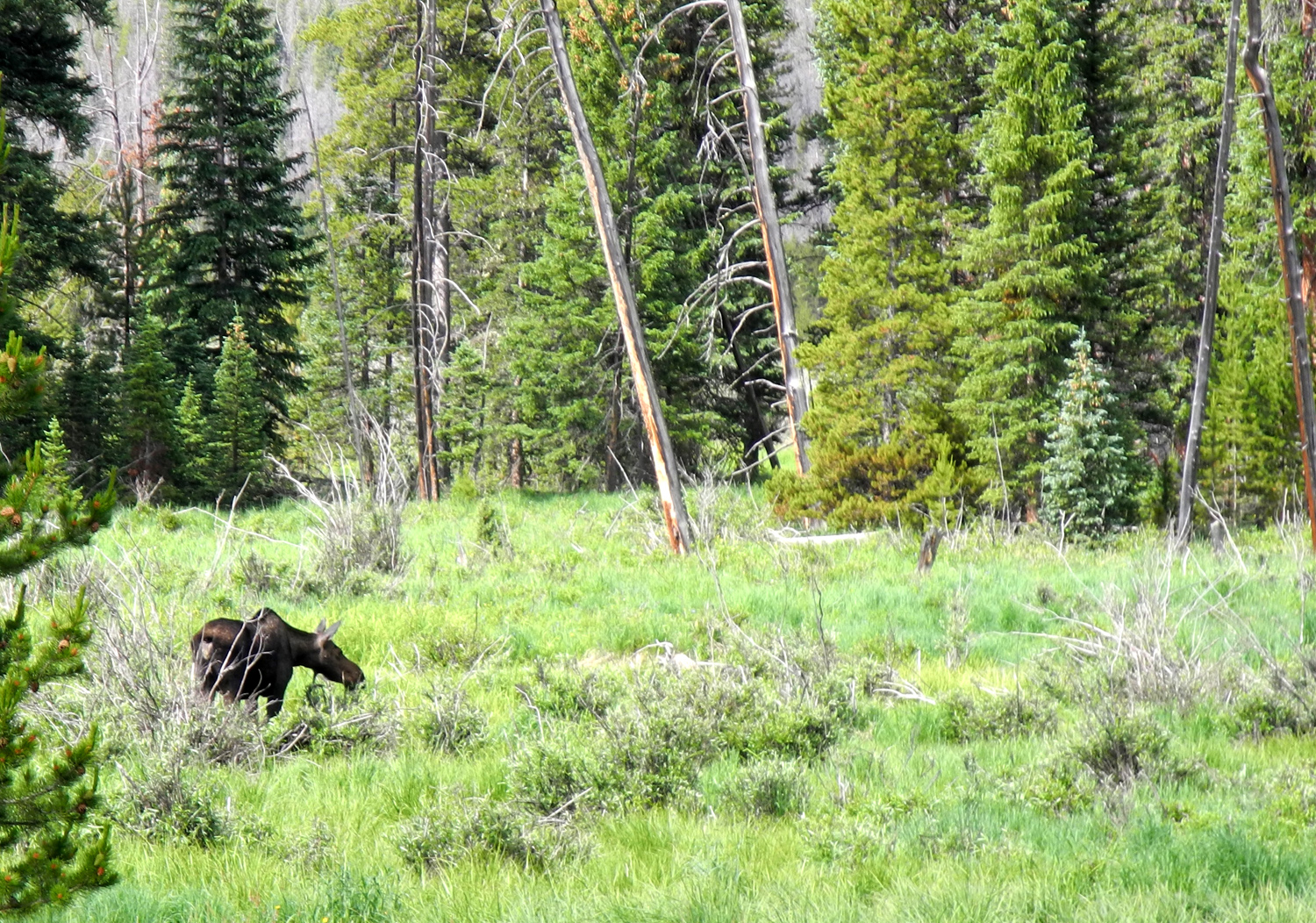
Moose feeding in the Kawuneeche Valley |
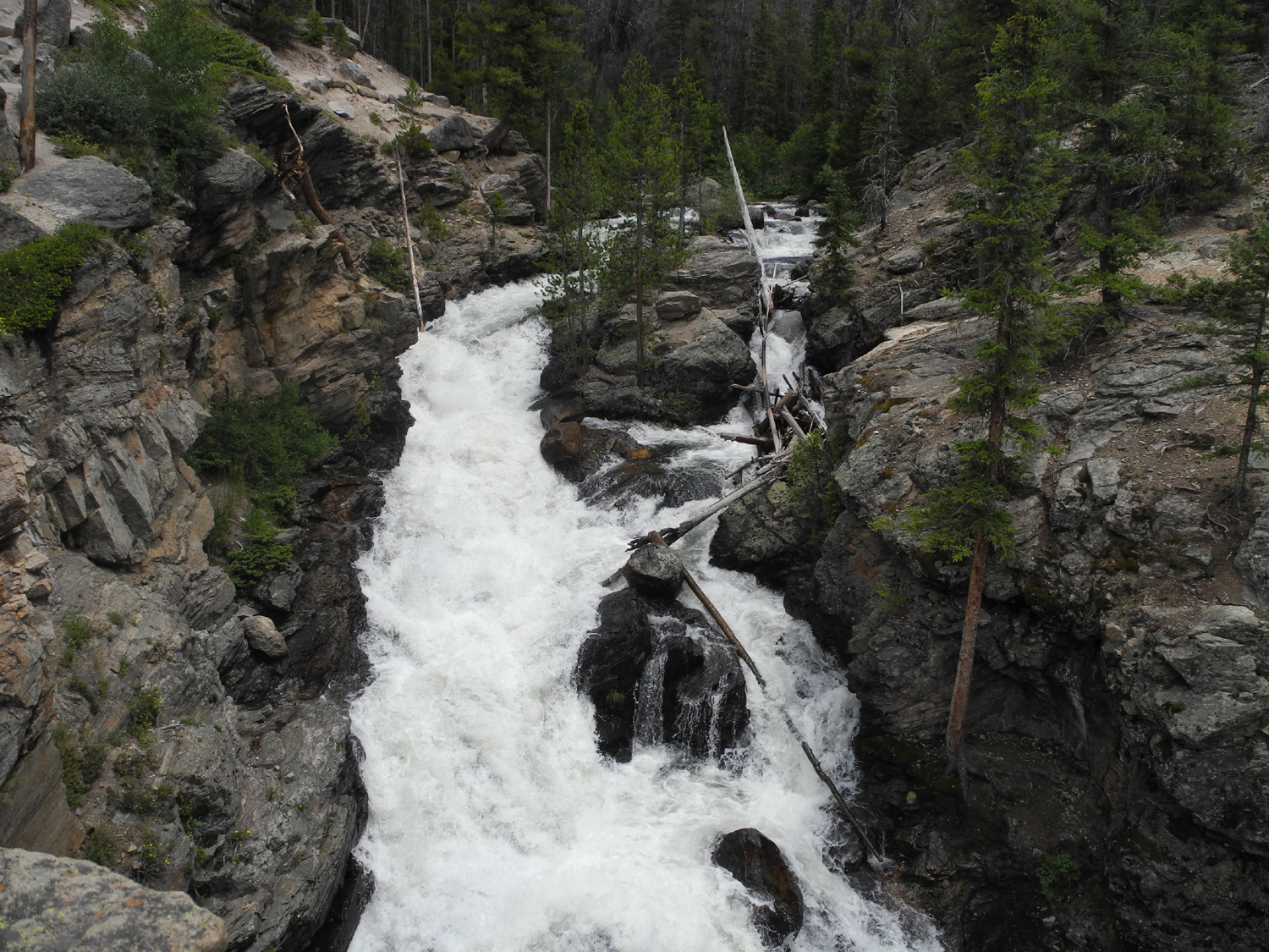
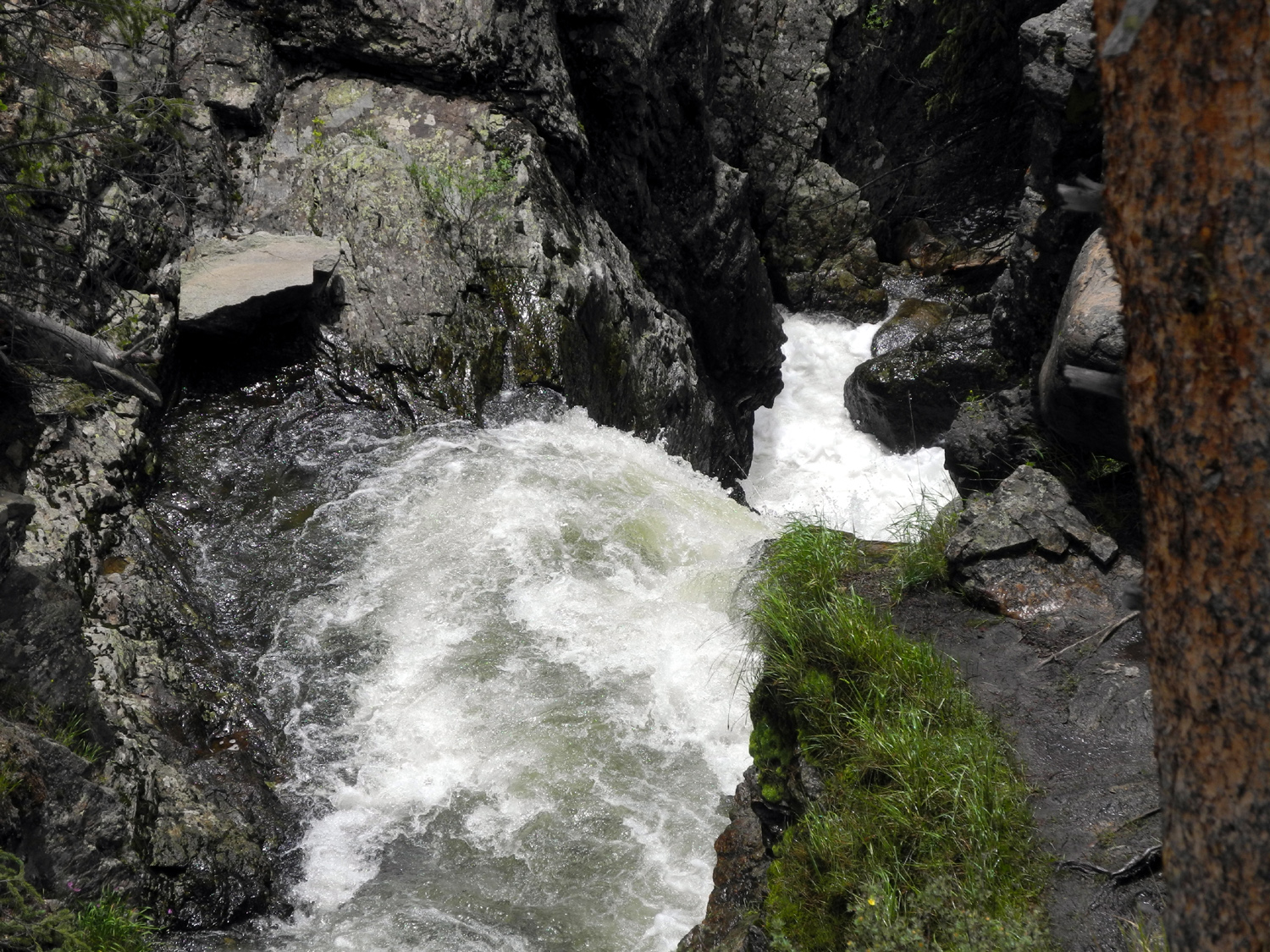
Adams Falls |
Looking down from the top of the falls |
|
 |
|
 |
|
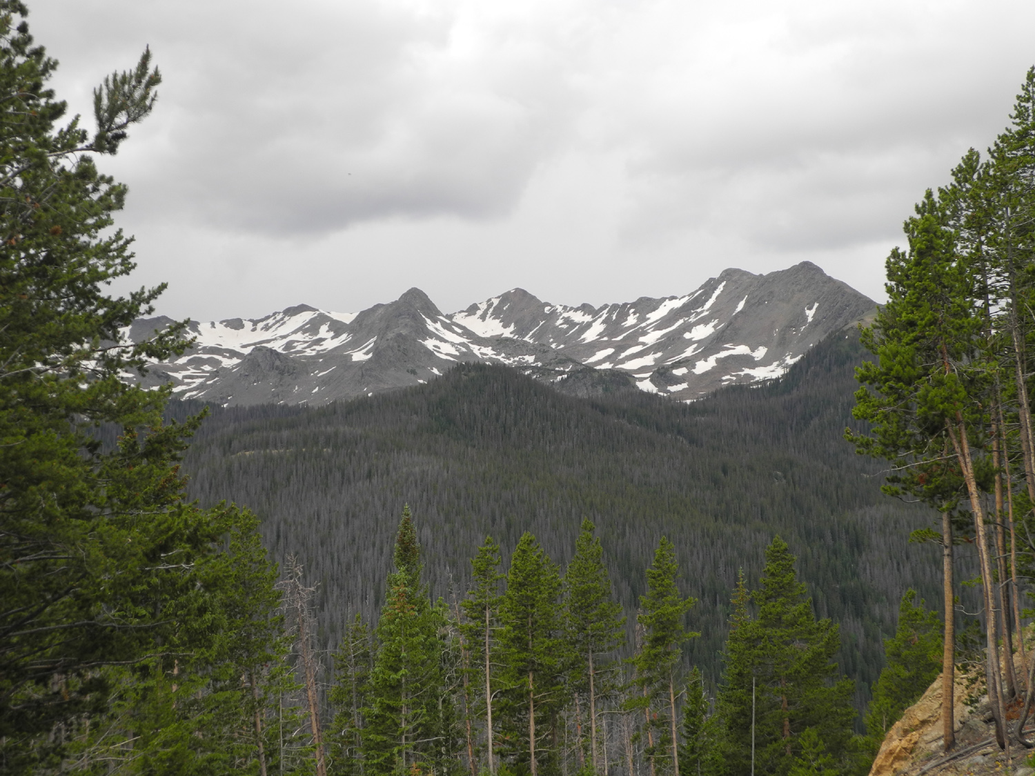
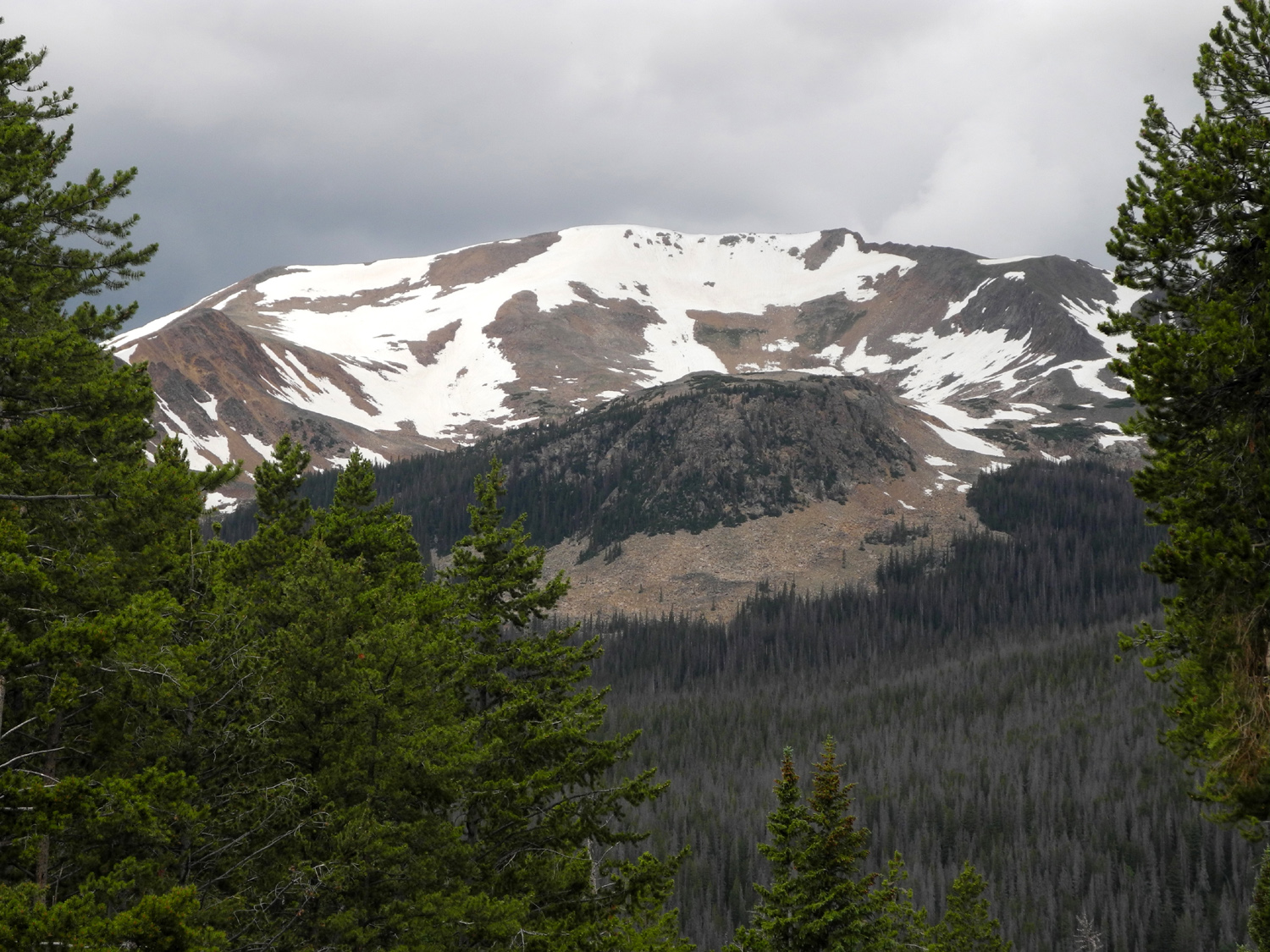
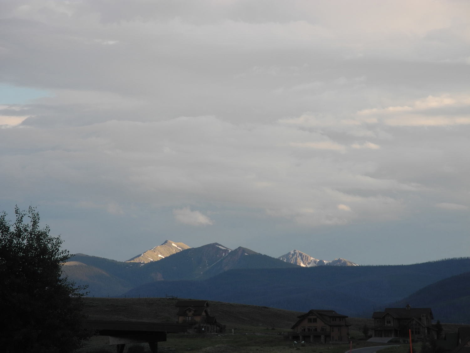
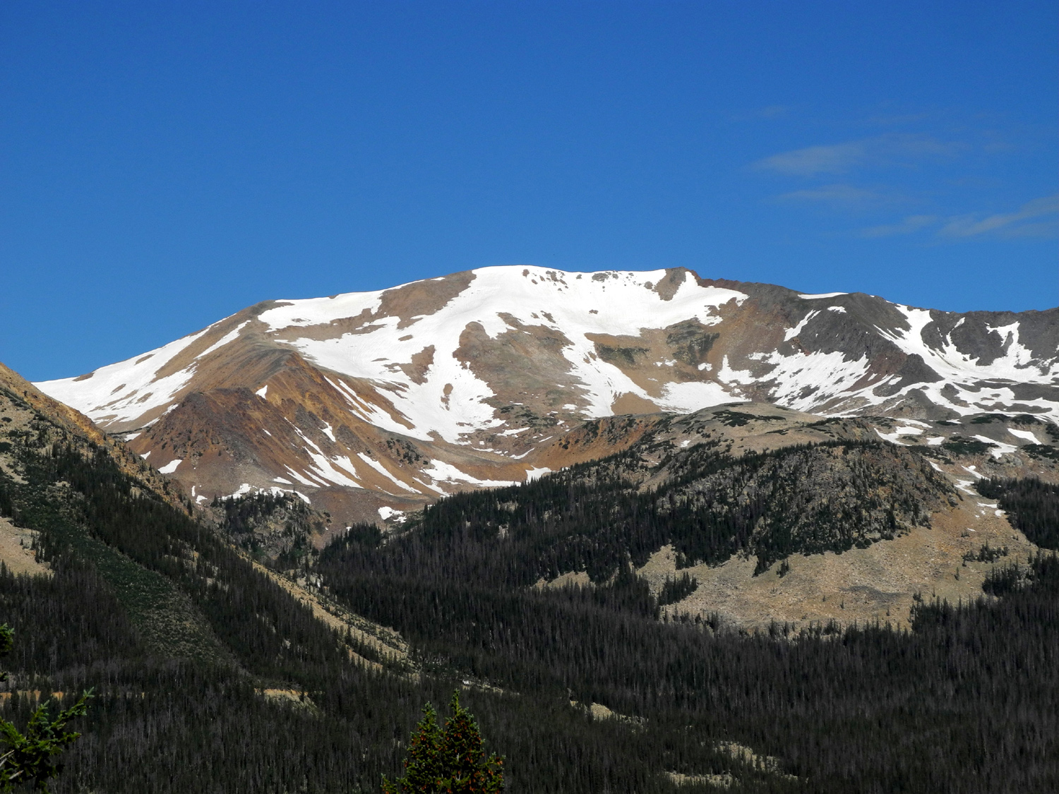
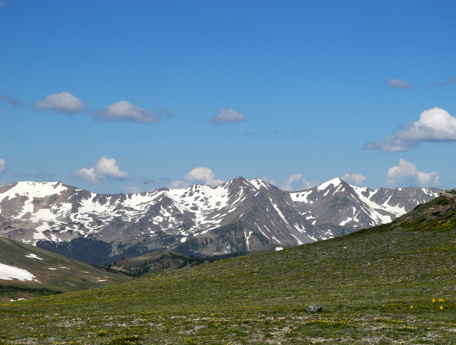
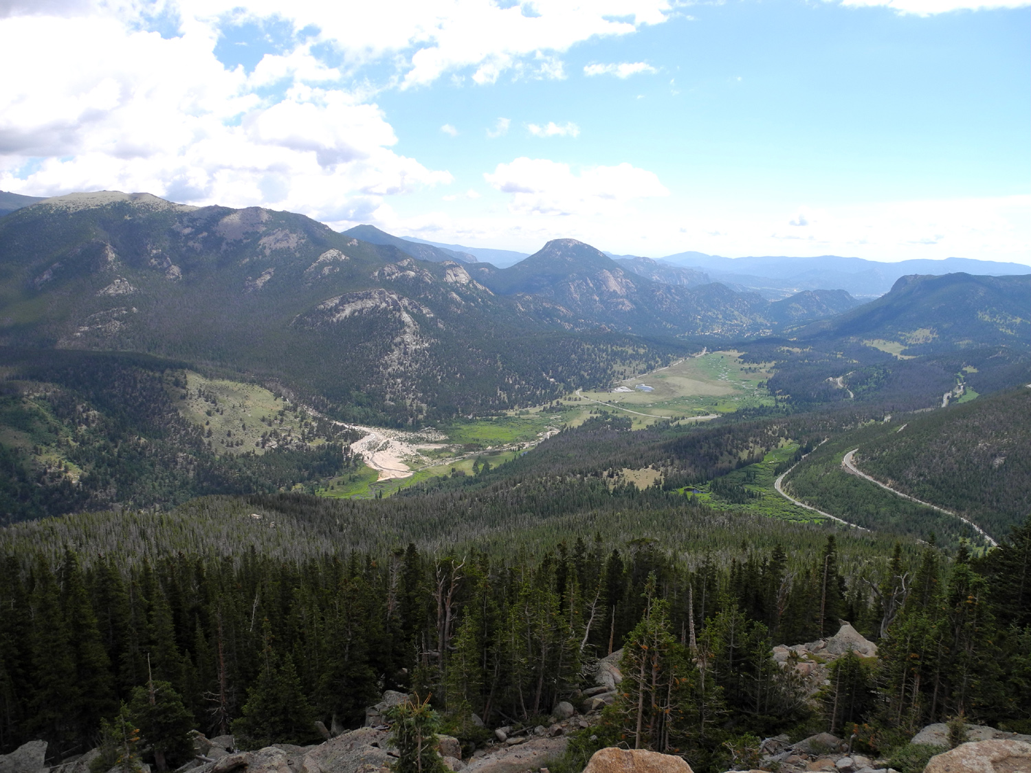
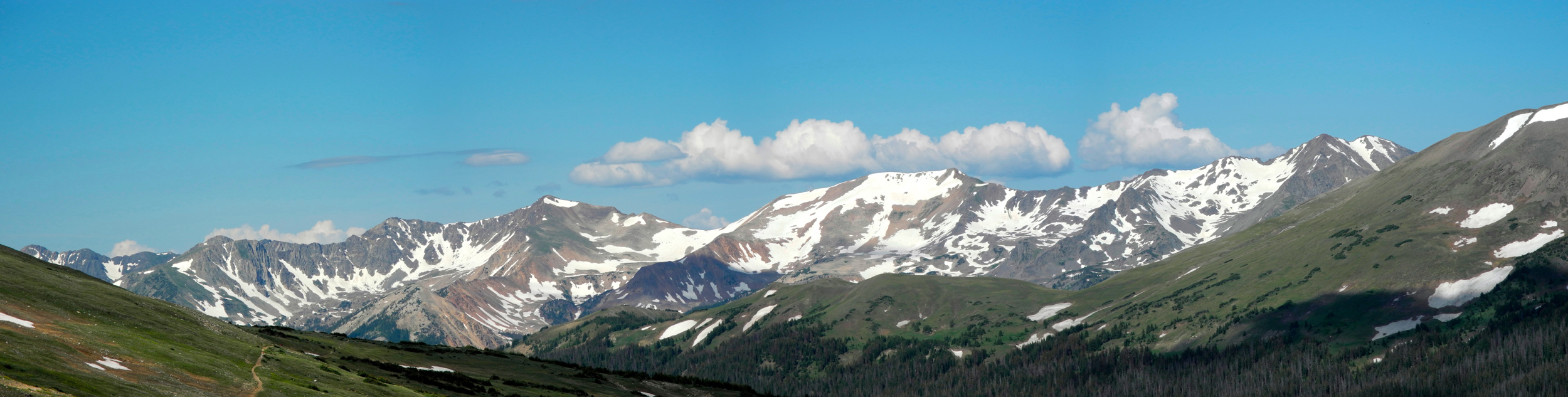
| Rocky Mountains in the national park | |||
 |
 |
 |
|
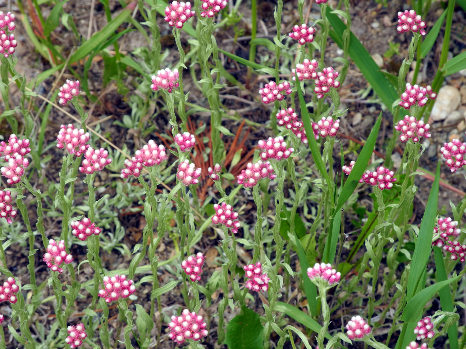
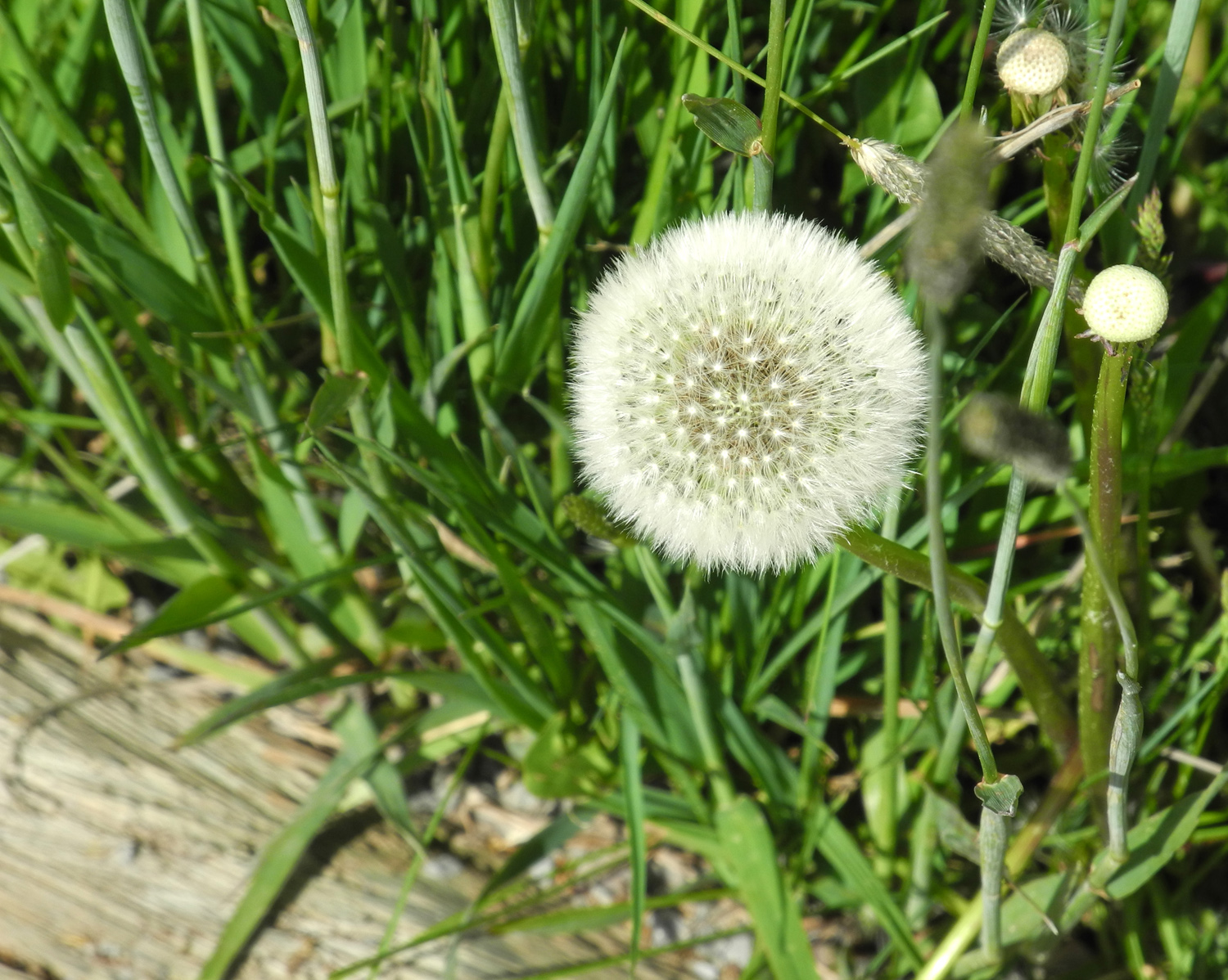
| Storm in the Rockies | A unique flower | Dandelion near the Colorado | |
 |
 |
 |
|
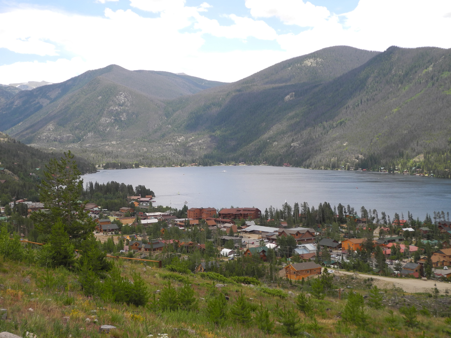
| Grand Lake, just outside the park | The Rockies above Granby Lake | The view from my balcony in Granby | |
 |
 |
 |
|
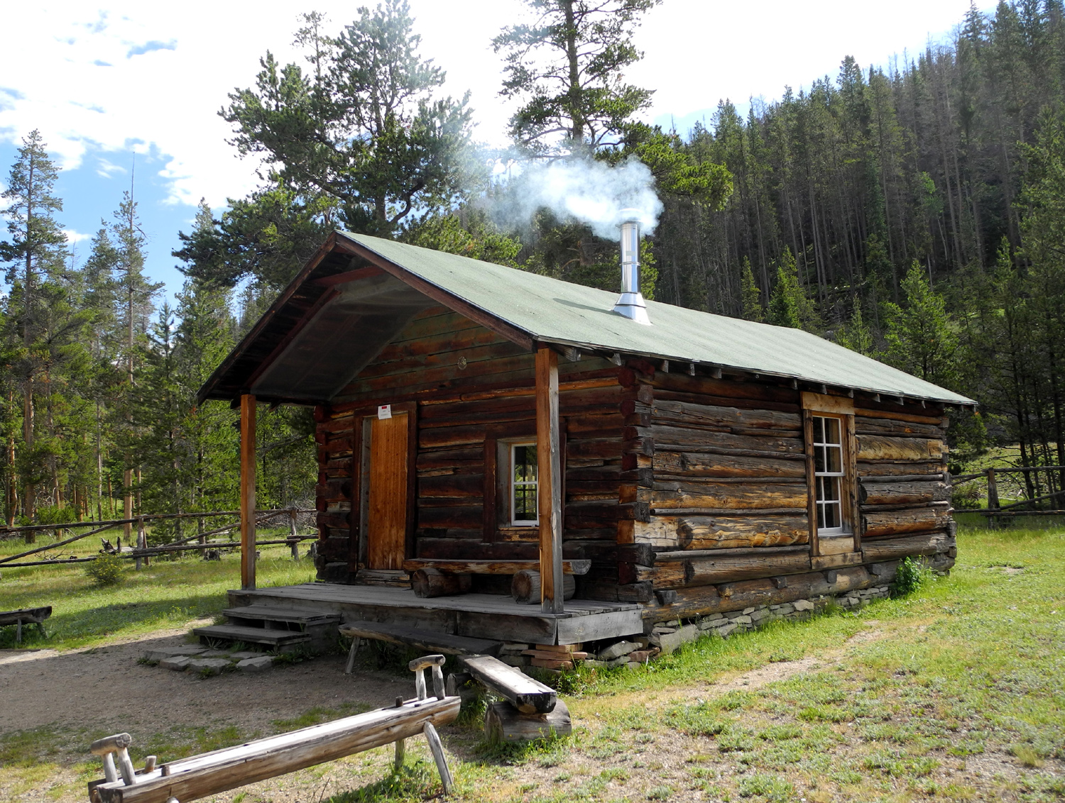
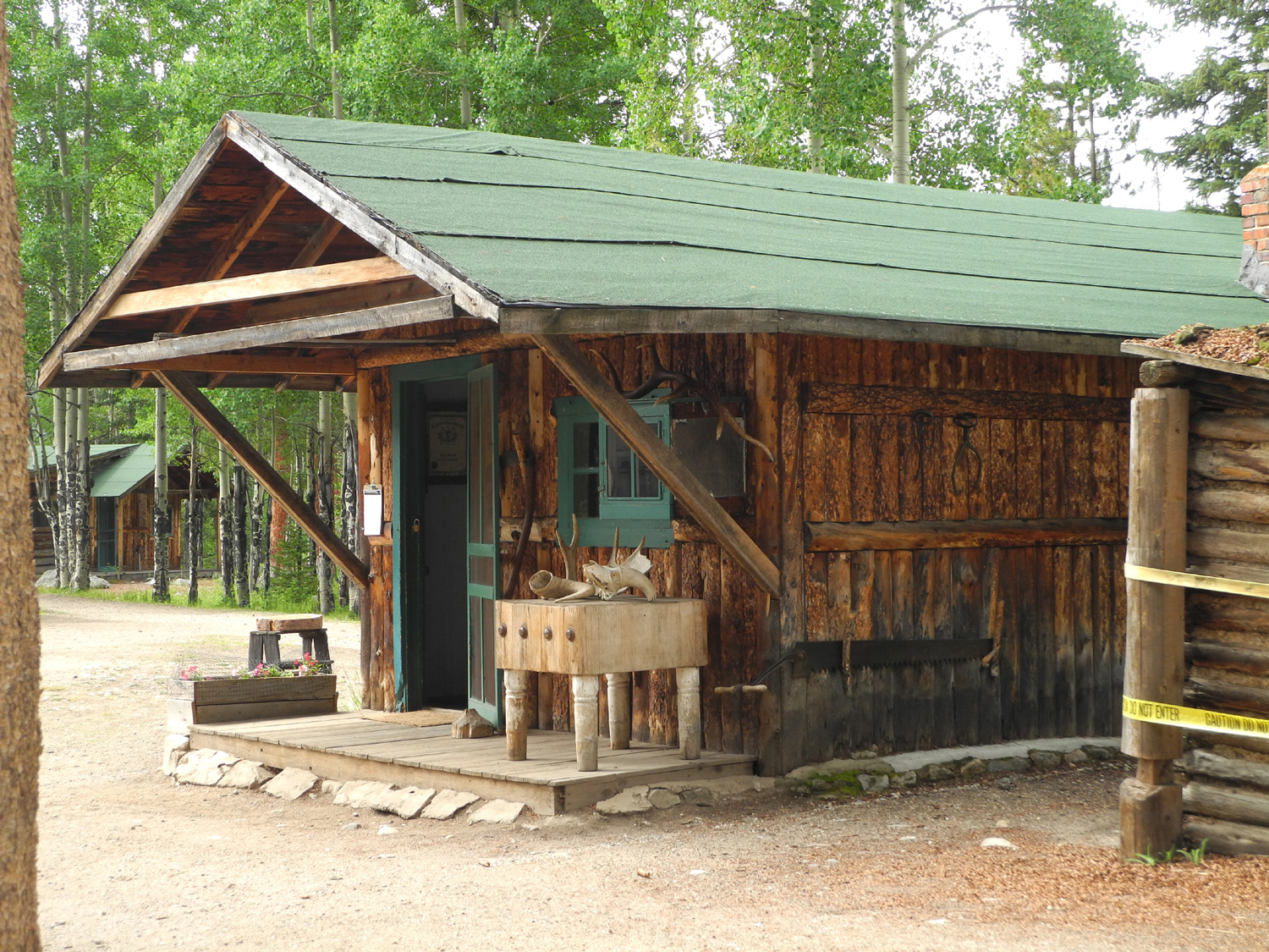
| Something for everyone in downtown Granby | Homesteader's cabin in Kawuneeche Valley | The Colorado River has its start a few miles up this valley | |
 |
 |
 |
|
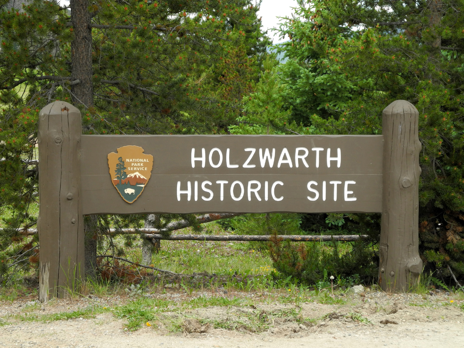
| A short walk from here are
buildings that were part of a dude ranch started about 1920 |
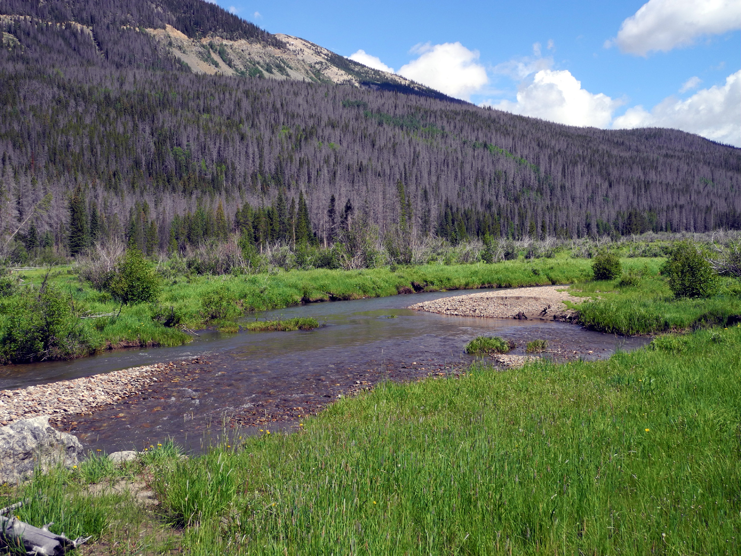
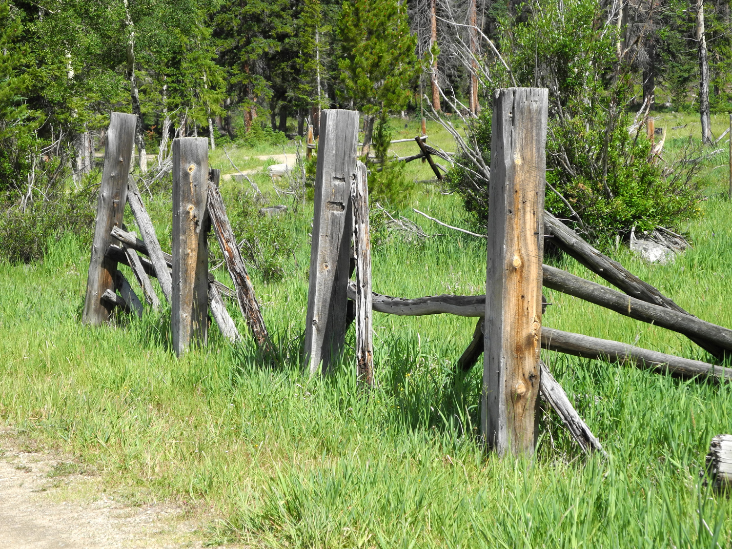
The Colorado near Holzwarth Dude Ranch | Old corral at the ranch site | |
 |
 |
 |
|
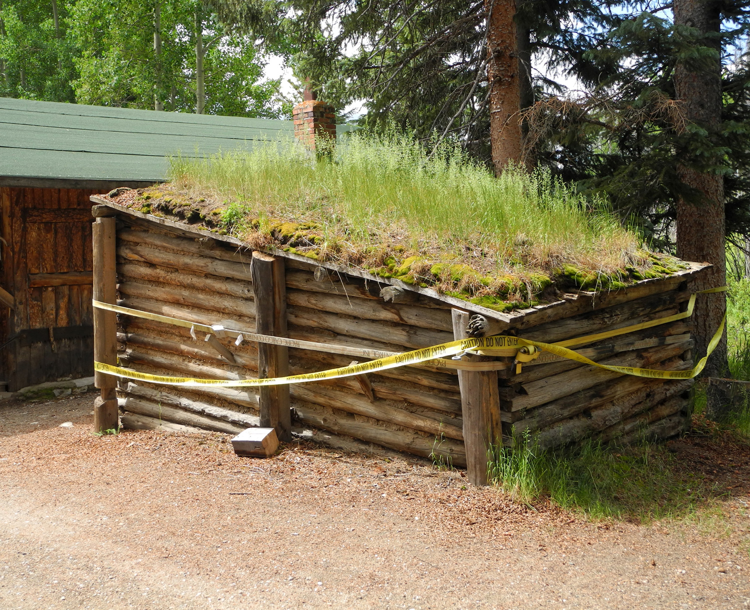
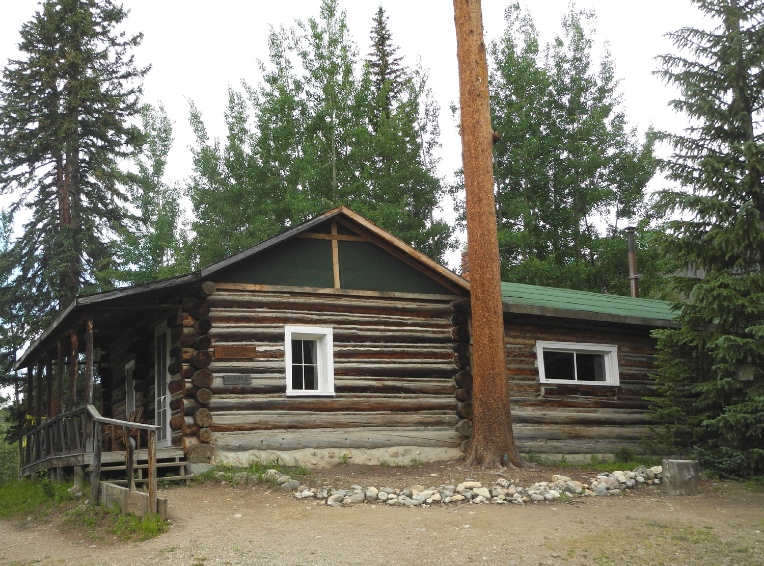
| This ice house kept 125 100-pound blocks of ice frozen through the summer | This was John Holzwarth's taxidermy shop | The original house | |
 |
 |
 |
|
| Another moose | Mountain flowers | The view from Fairview Curve | |
 |
 |
 |
|
| Looking
back at the Kawuneeche Valley from Fairview |
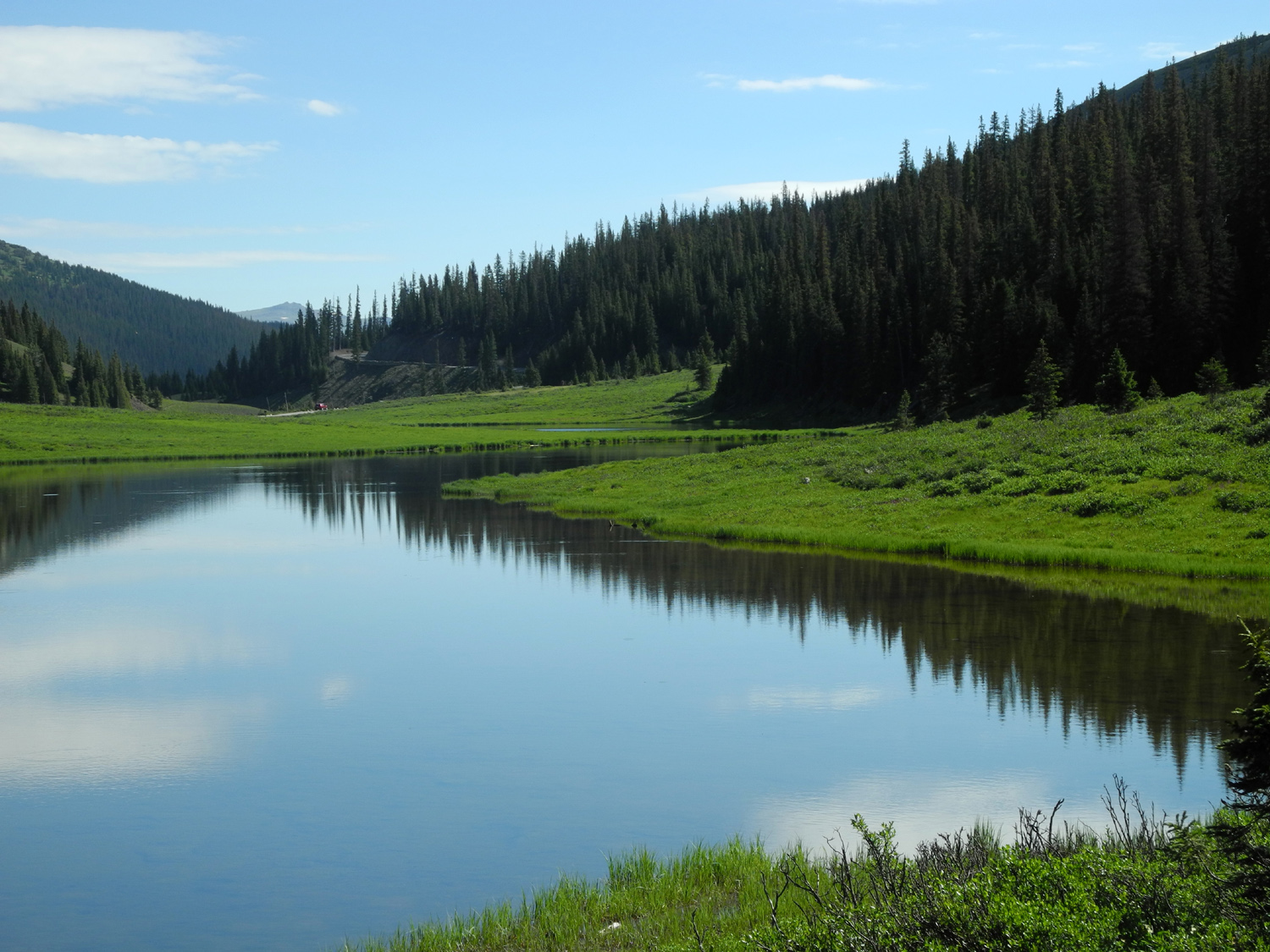
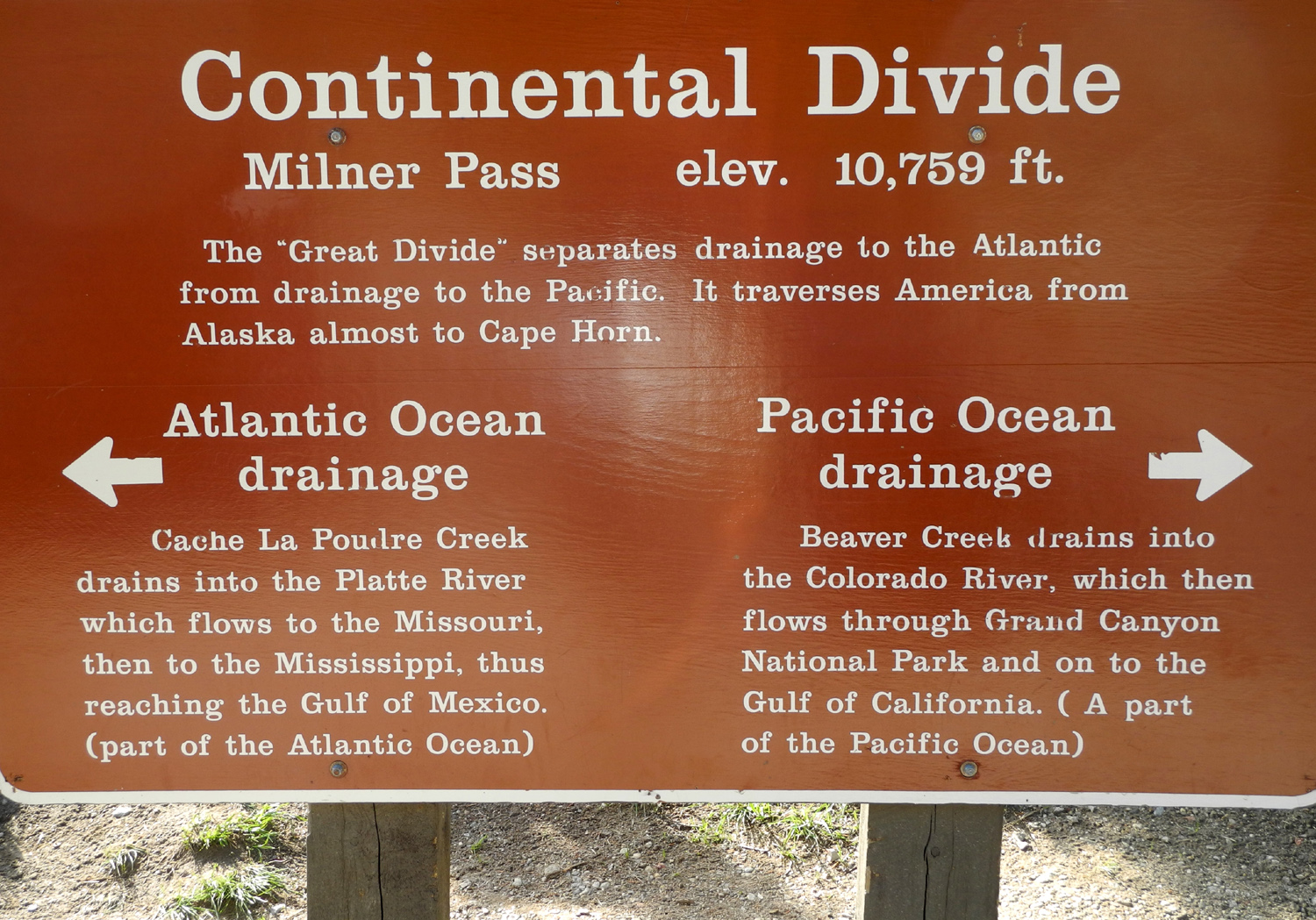
Columbine blossom | Small lake by the Continental Divide | |
 |
 |
 |
|
|
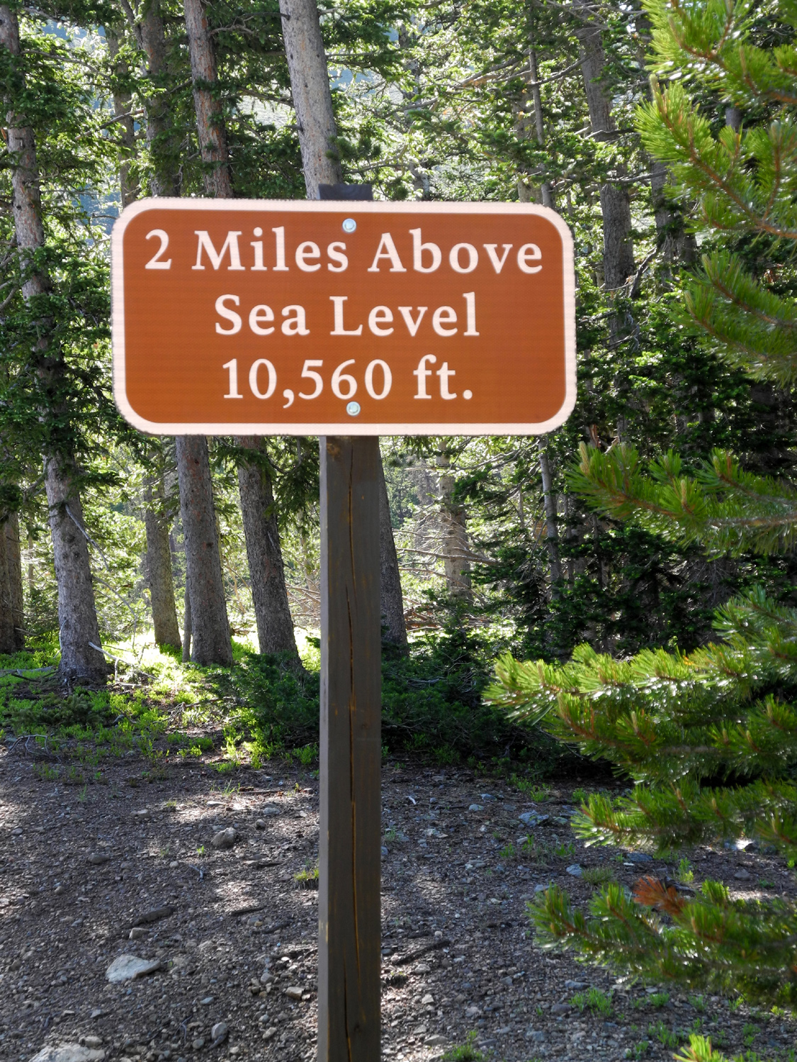
Surely we can get higher than this! |
Still not the highest point on the road |
Just
about as high as it gets without going off road |
|
 |
 |
 |
|
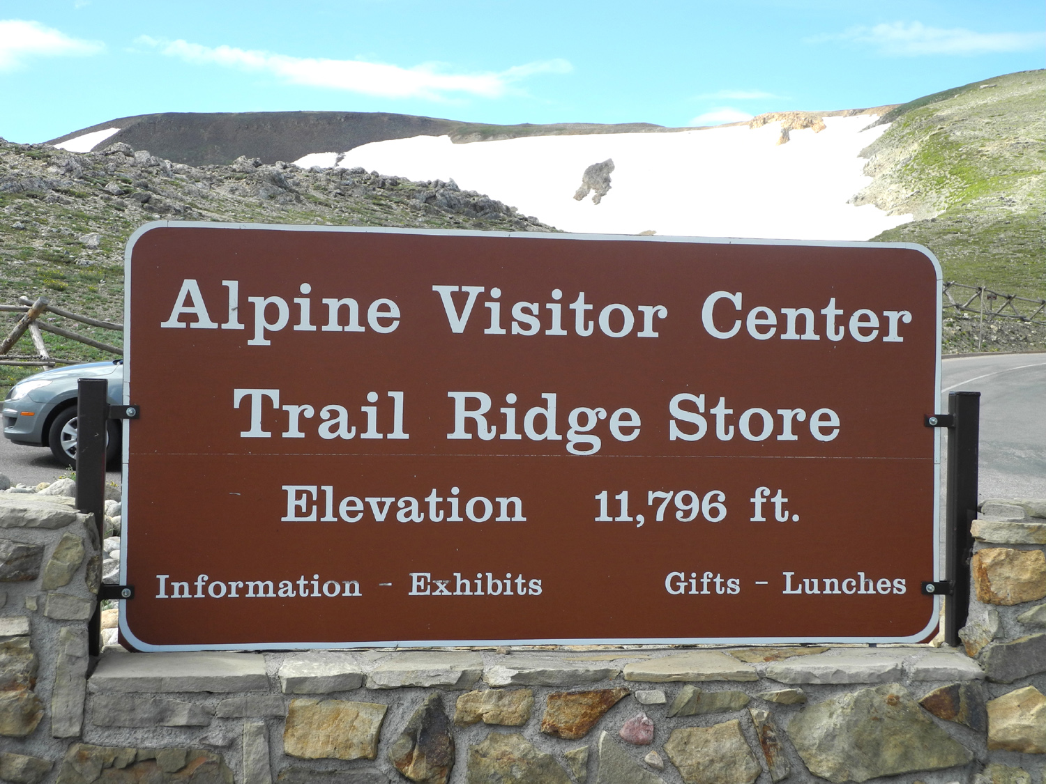
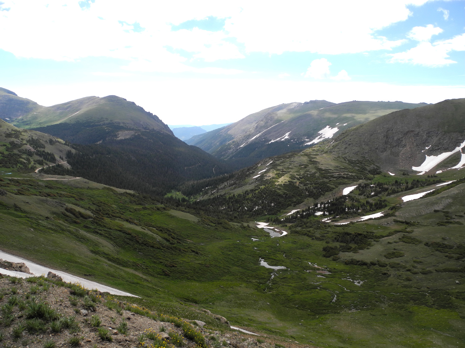
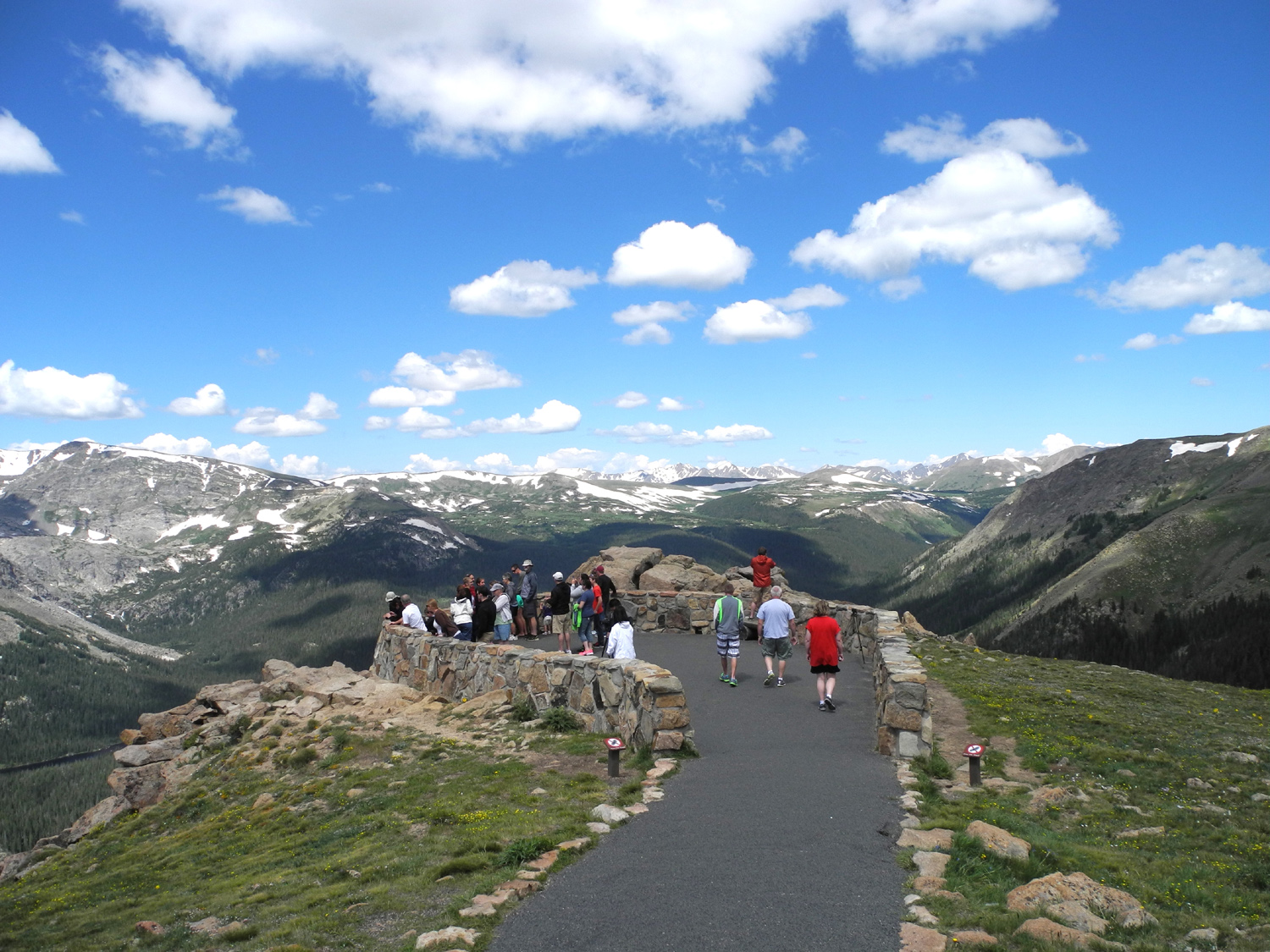
| View from the road below the visitor center |
Snow and mountains near visitor center |
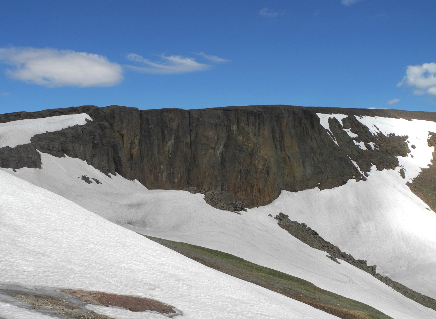
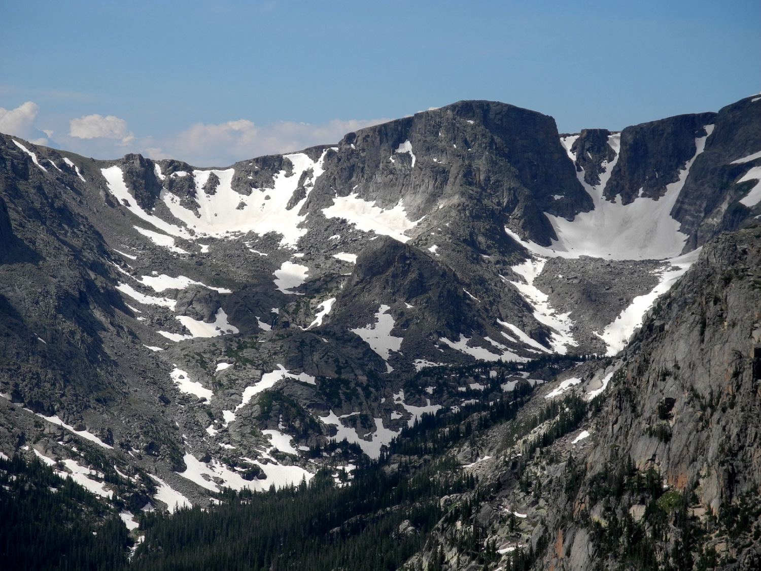
A
glacial cirque, looking out the back of the visitor center |
|
 |
 |
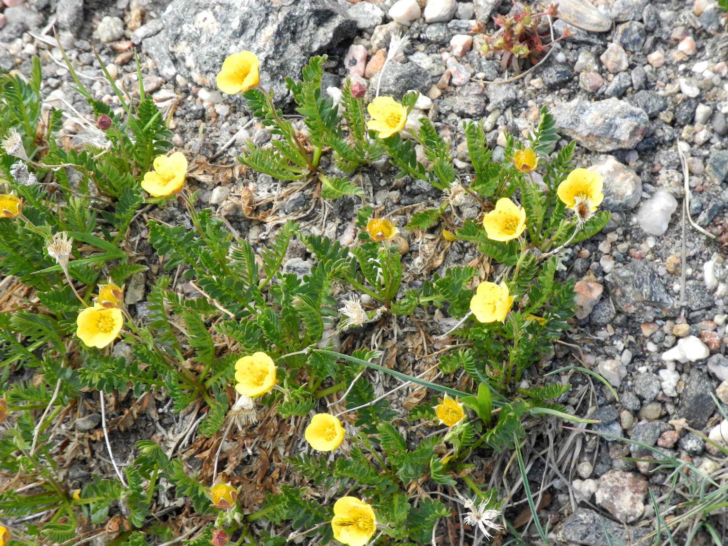 |
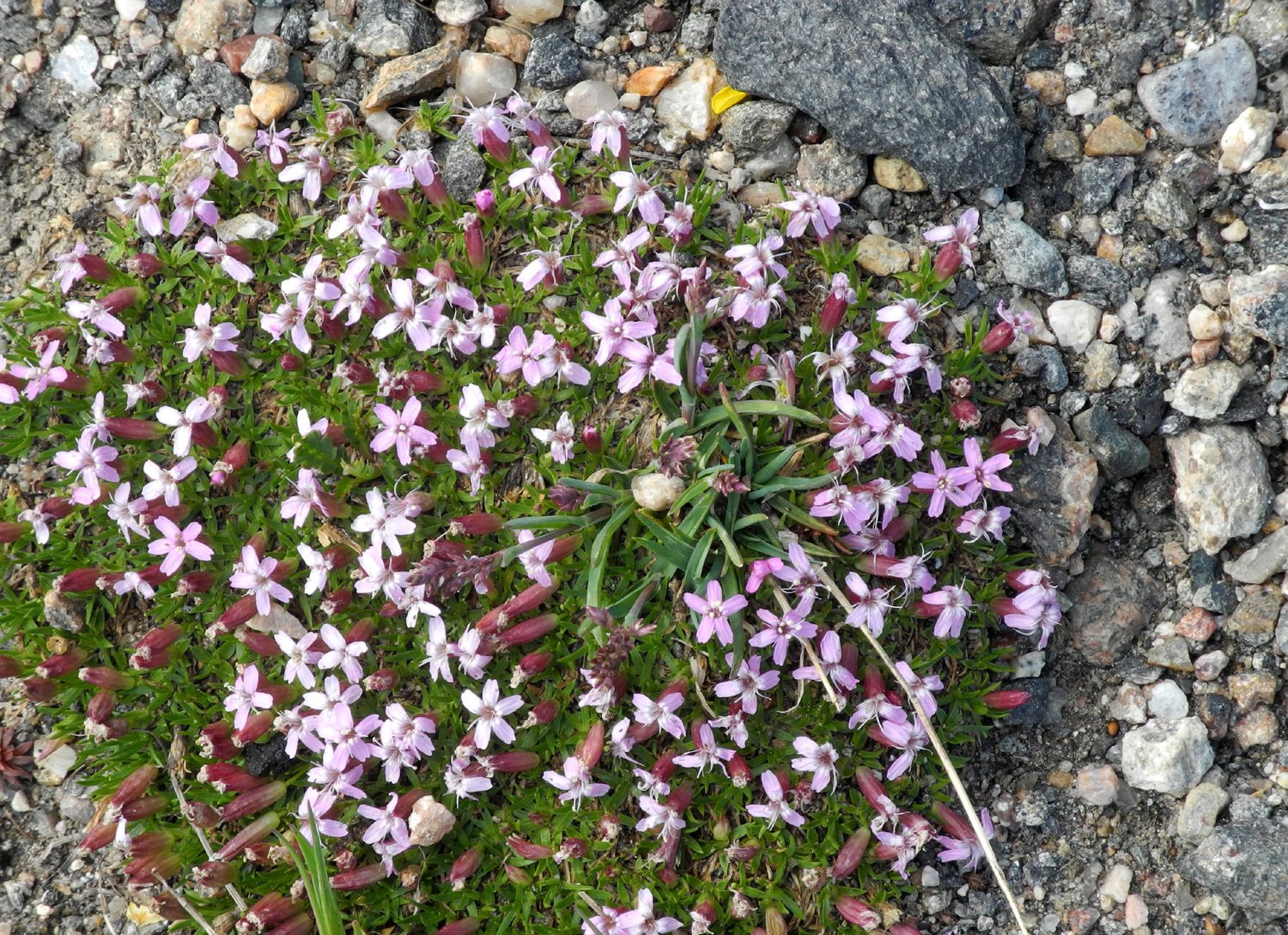
|
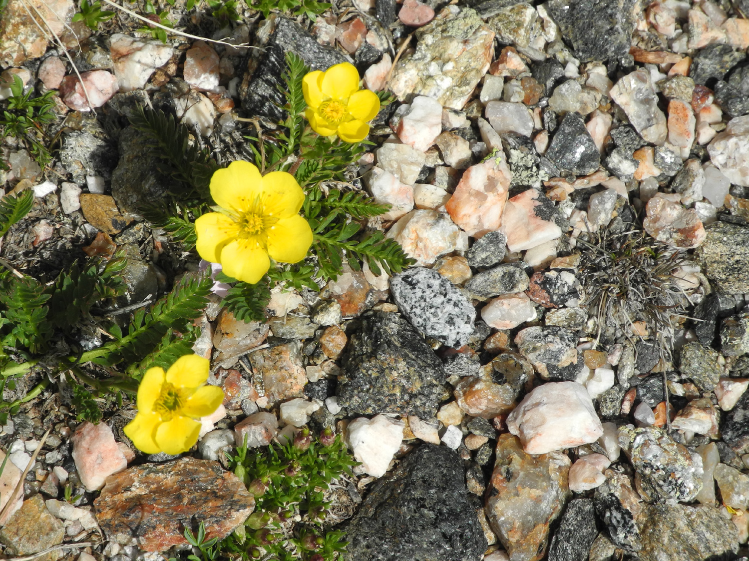
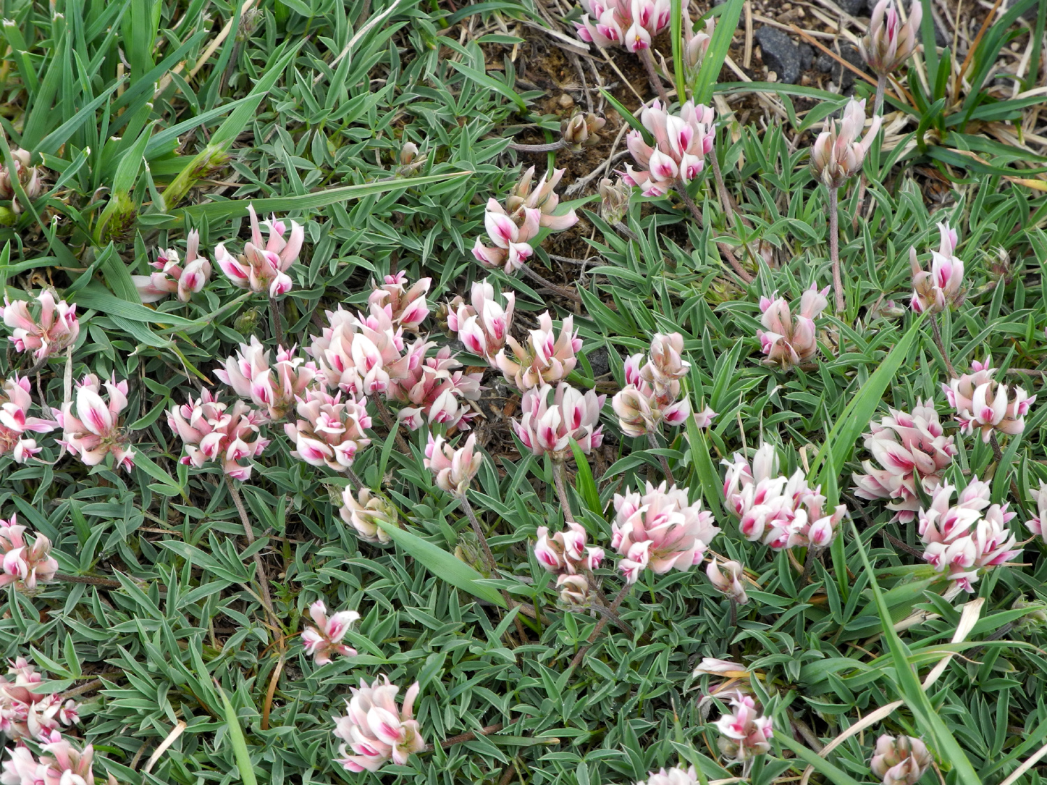
| The dark cliffs are lava | Above the tree line, tiny flowers are king | More alpine blooms | |
 |
 |
 |
|
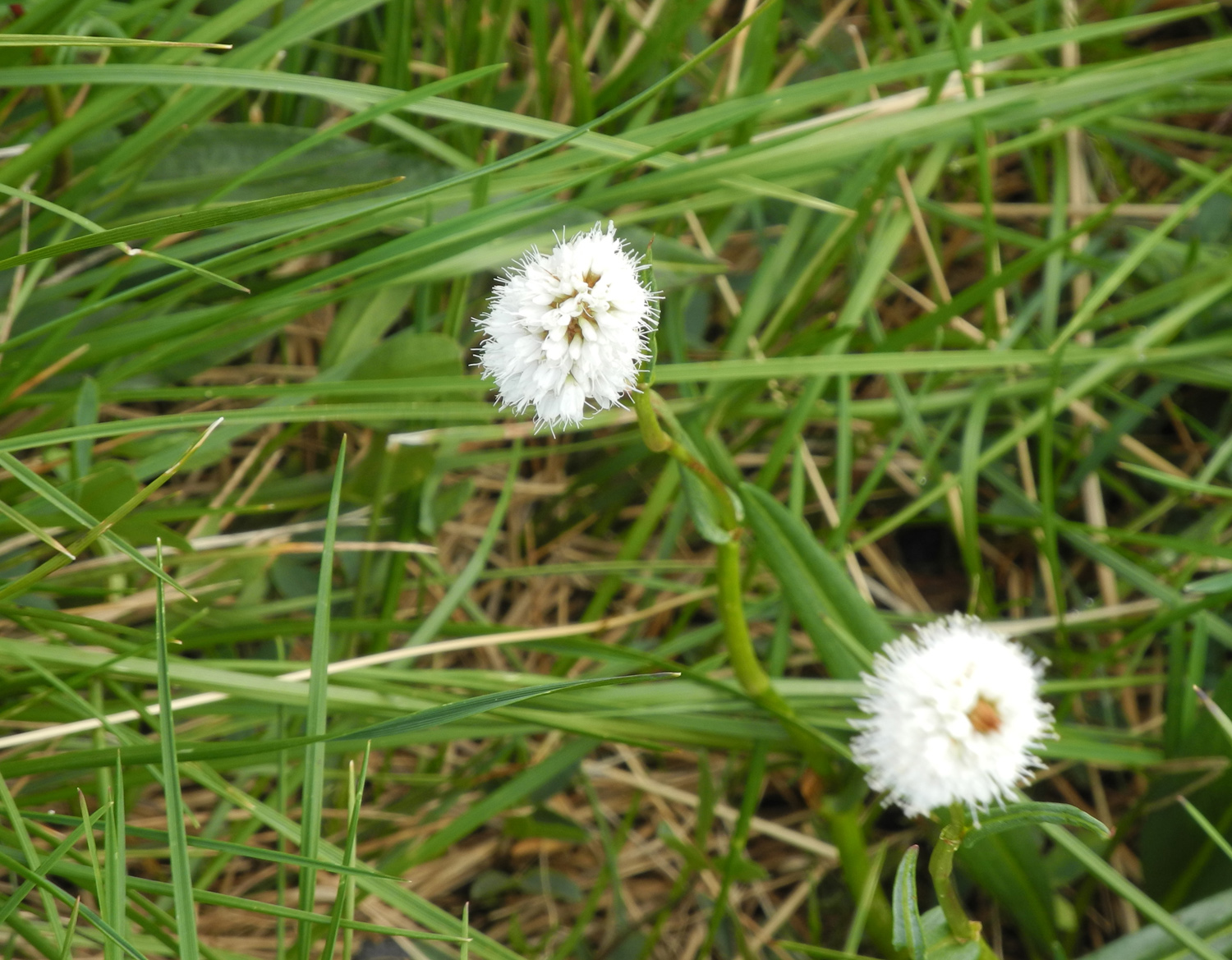
| Flowers of the tundra | |||
 |
 |
 |
|
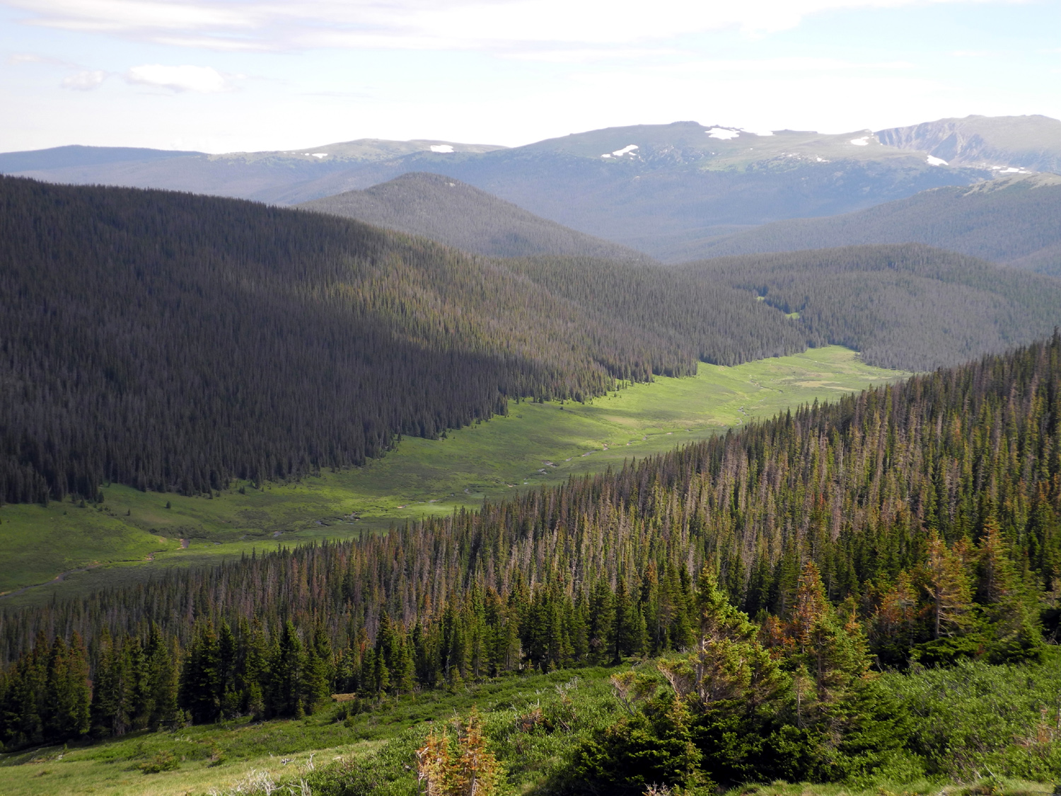
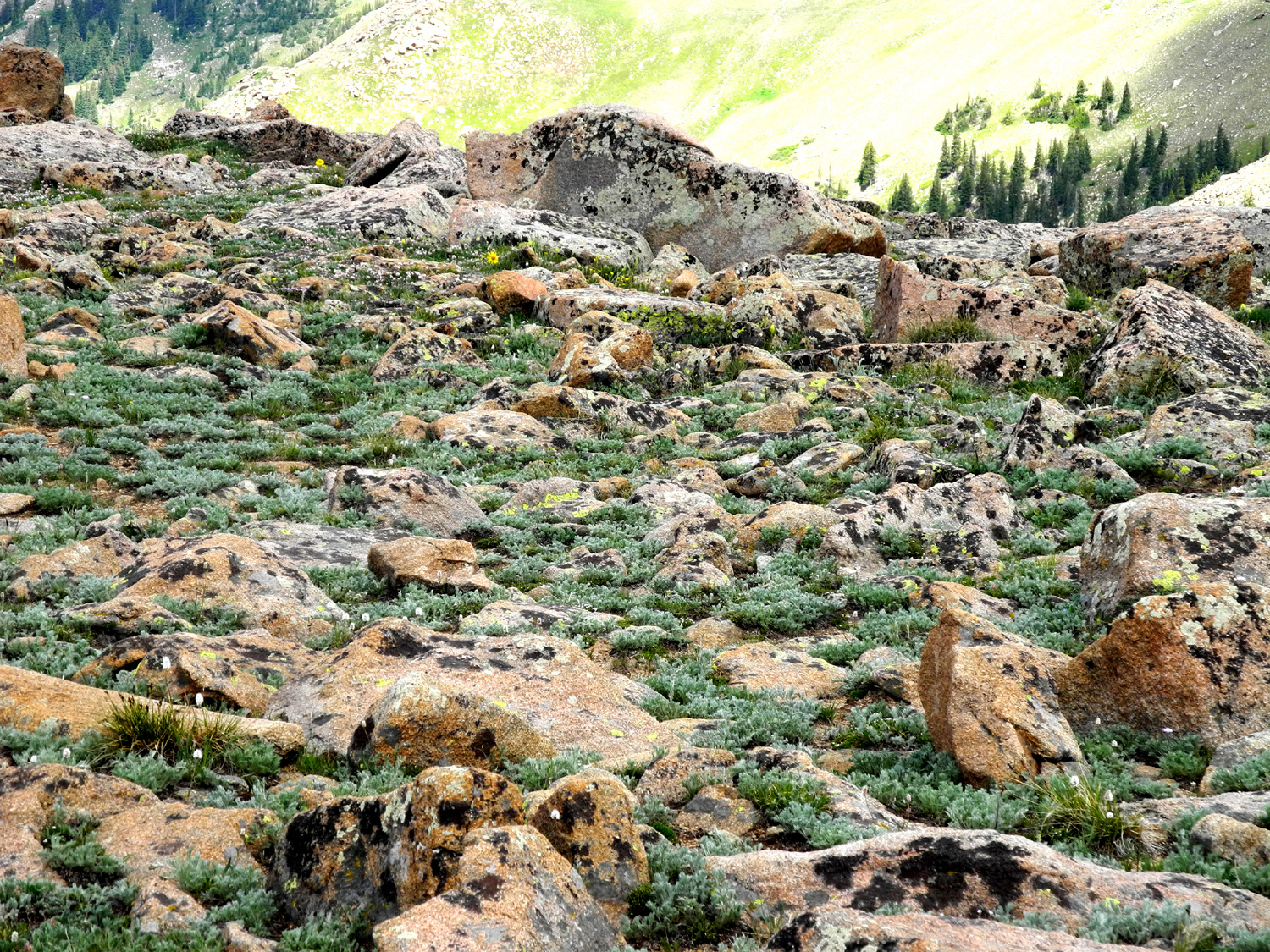
| Rocks are another major crop in these parts | The
path leads out to a vista point above a river canyon |
Mountains and tundra | |
 |
 |
 |
|
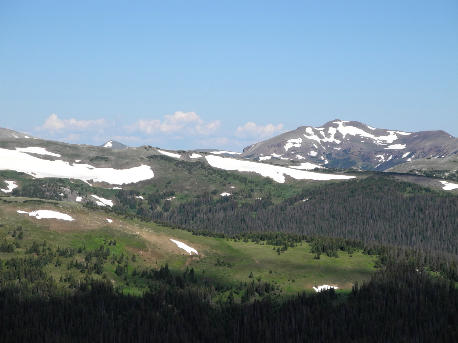
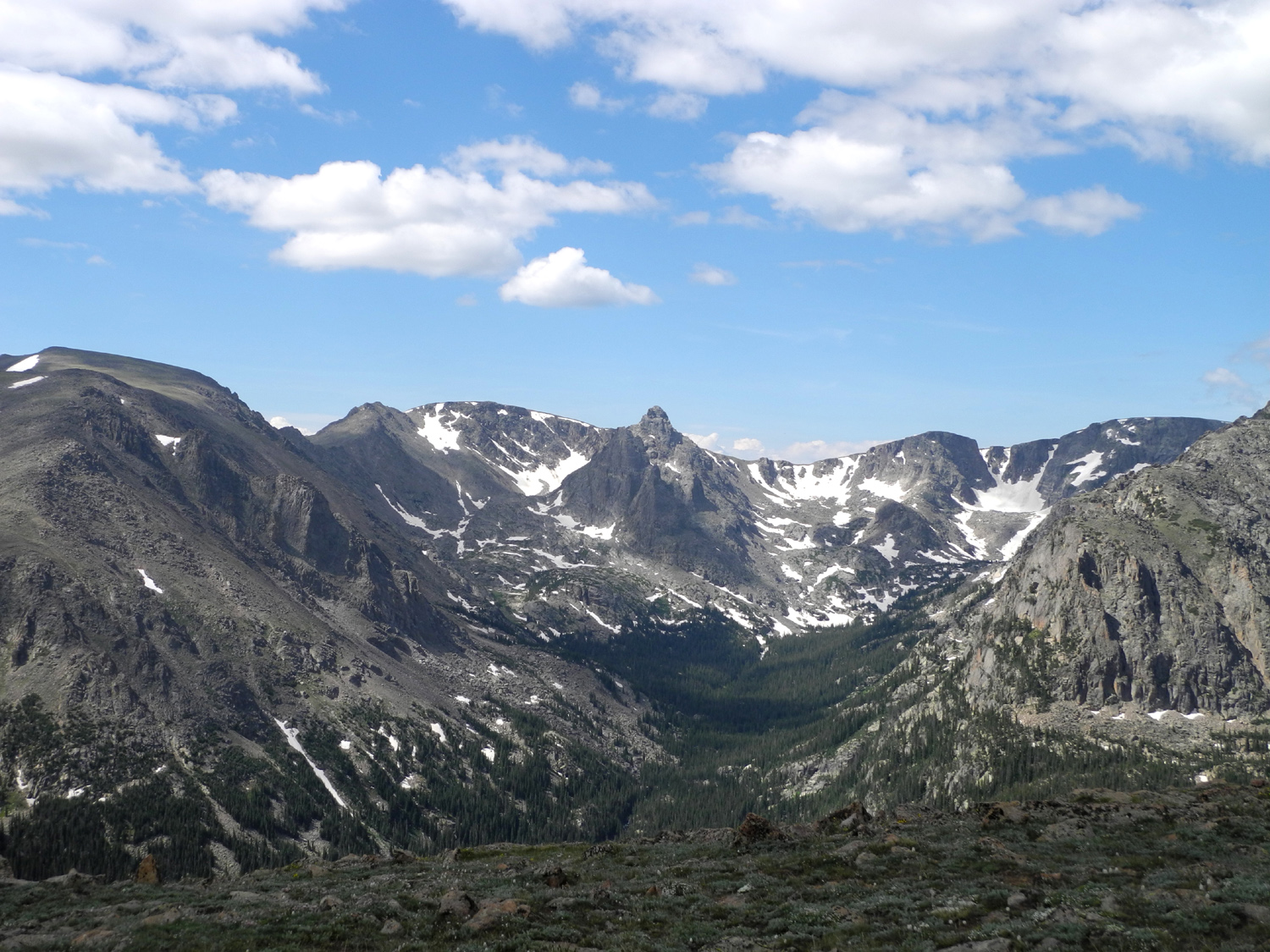
| Shades of blue dominate | More rugged peaks | Nothing but rock and ice | |
 |
 |
 |
|
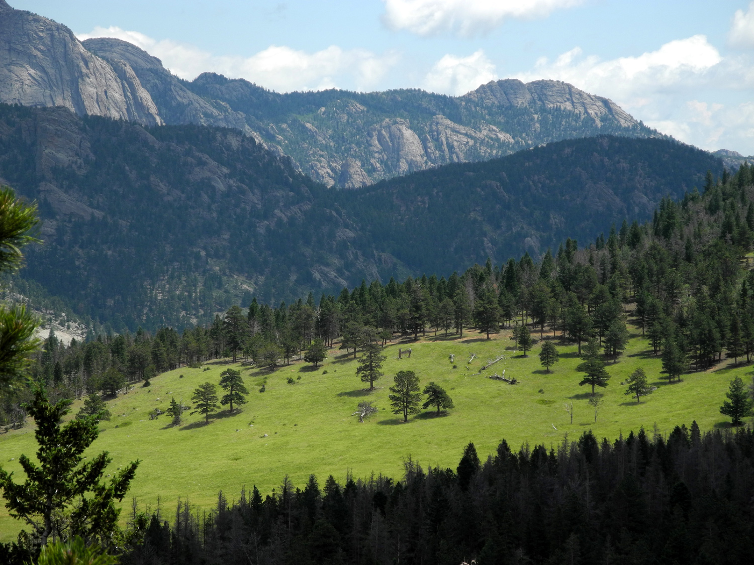
| The road to the sky | The view of a "park" on the eastern side | Another park | |
 |
 |
 |
|
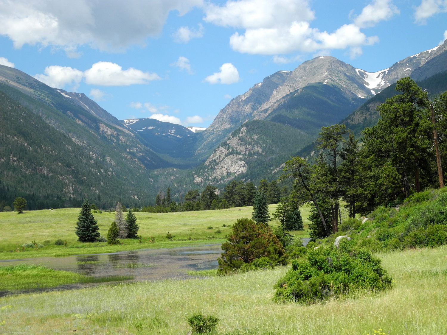
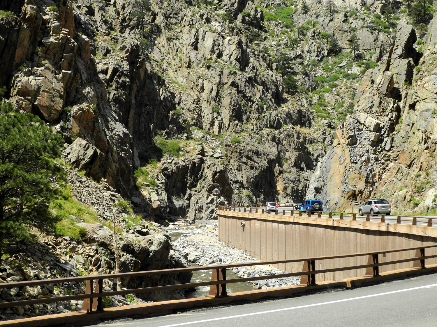
| Down in the "low" country around 7,000 feet | Big Thompson River | In the river canyon | |
 |
|||
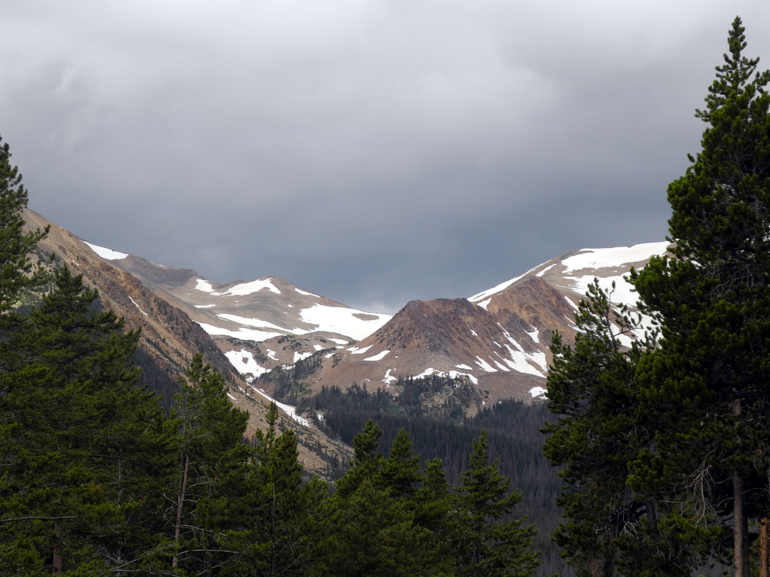
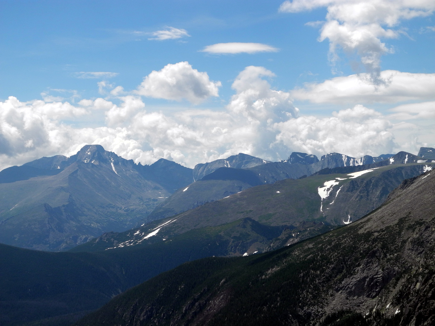
| High peaks and tundra | |||
| Kansas, Missouri, Indiana | |||
 |
|
 |
|
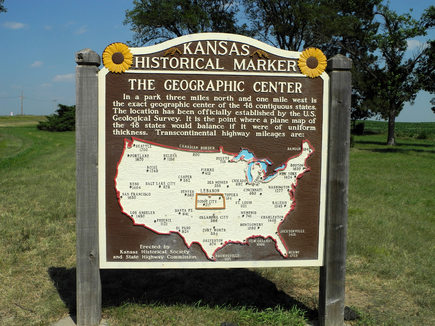
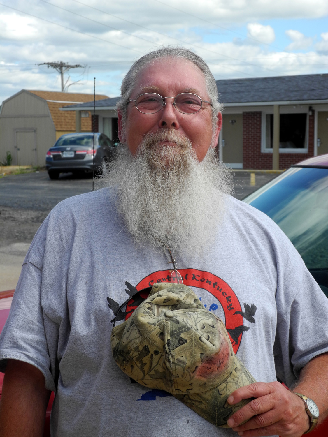
| Cedar Bluffs along US 83 in Kansas | Geographic center of US marker in Kansas | James Stanley McGee | |
 |
 |
 |
|
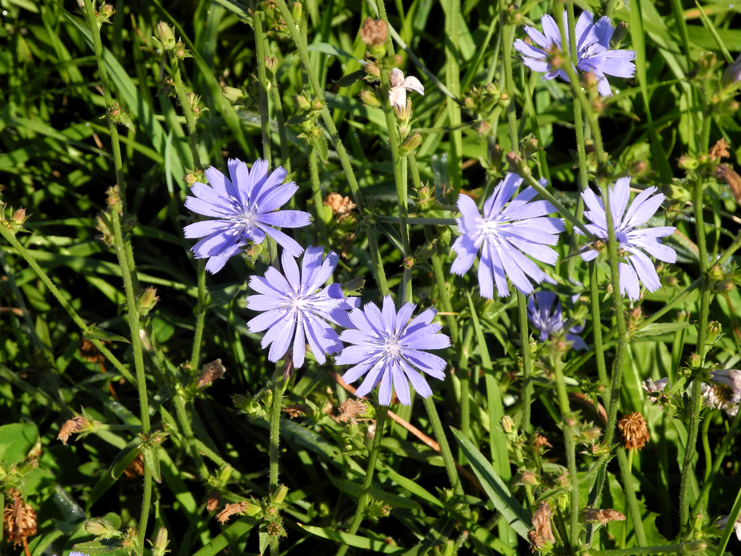
| These flowers were
everywhere in the Midwestern states |
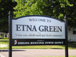
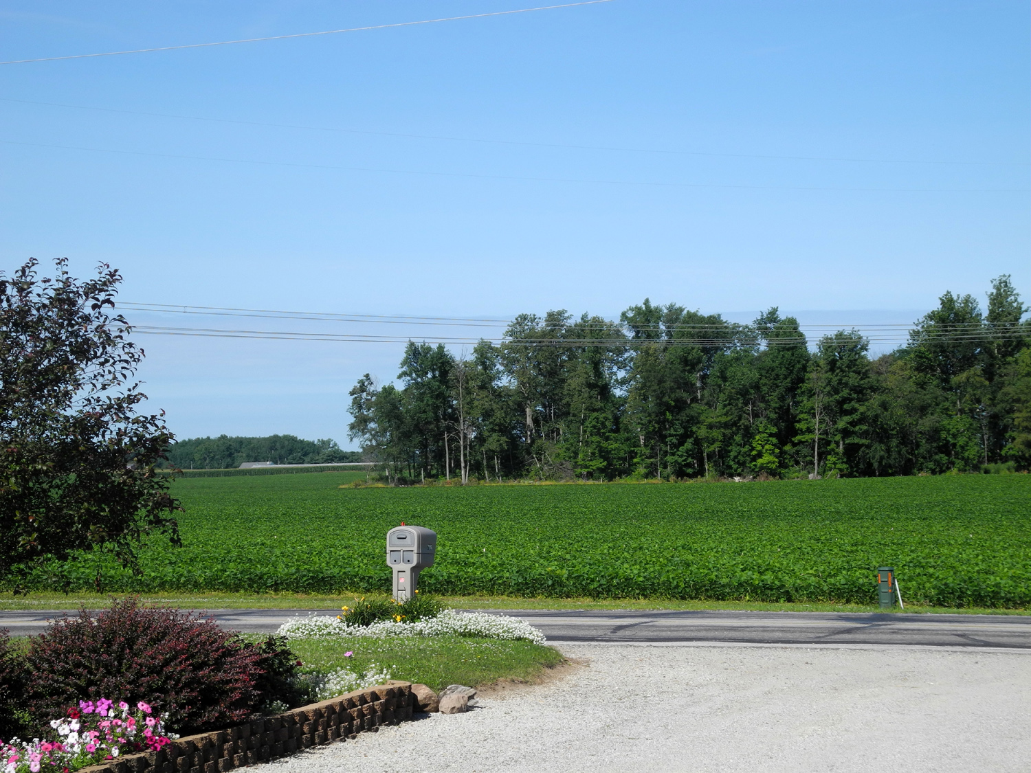
Entering Etna Green Indiana | Soy beans from front of June Ganshorn's house | |
 |
 |
 |
|
|
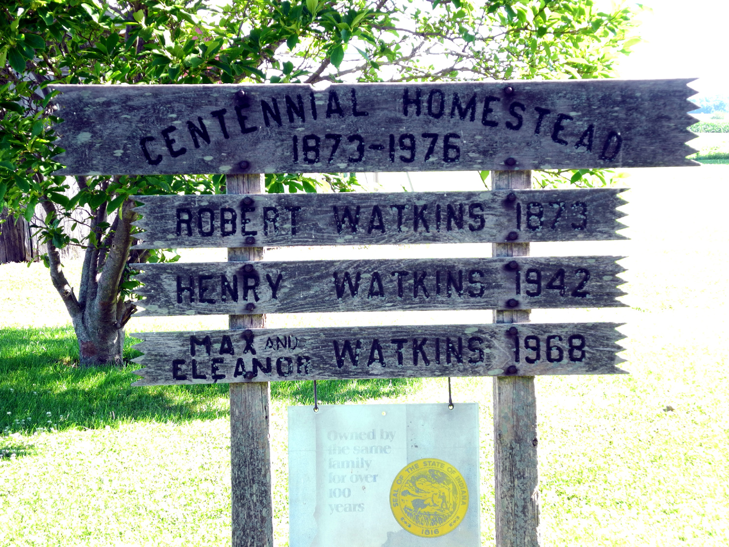
Sign at historic Robert Watkins Farm |
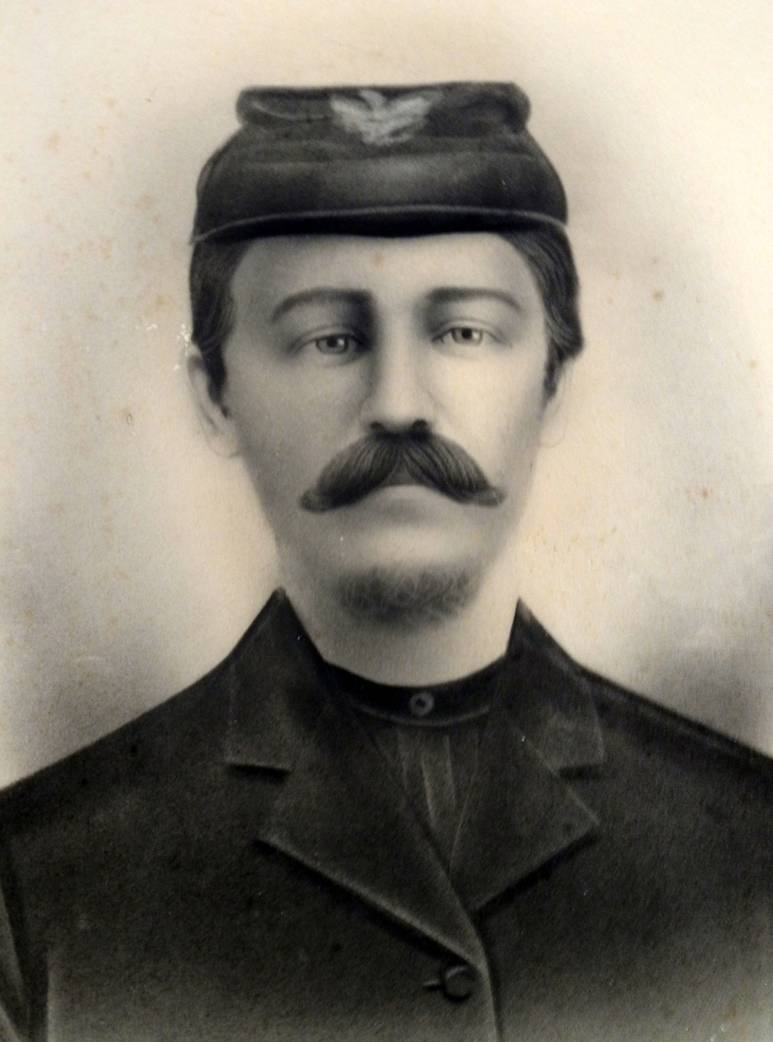
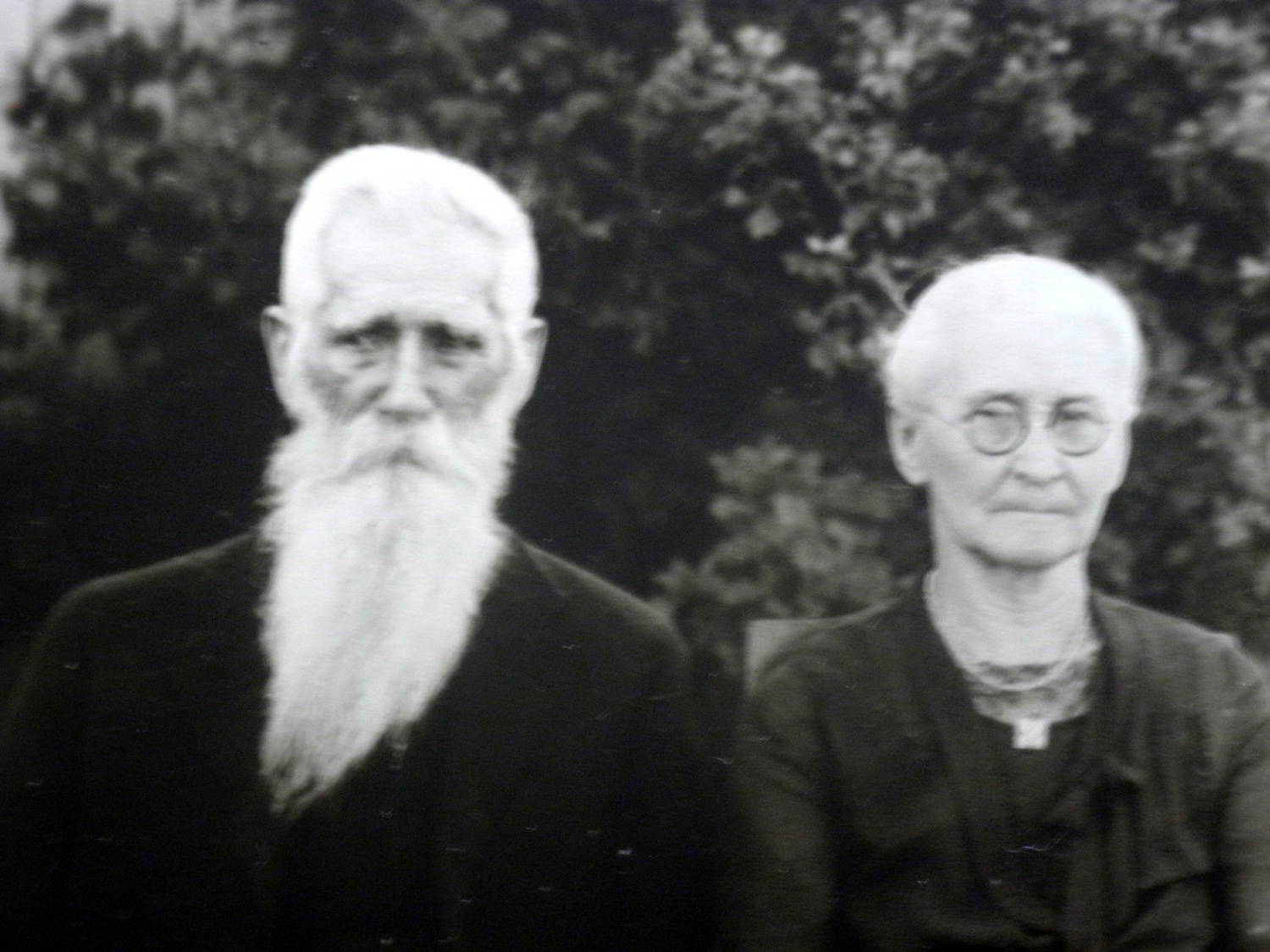
Robert in Civil War days | Robert and Sarah in later days | |
 |
 |
||
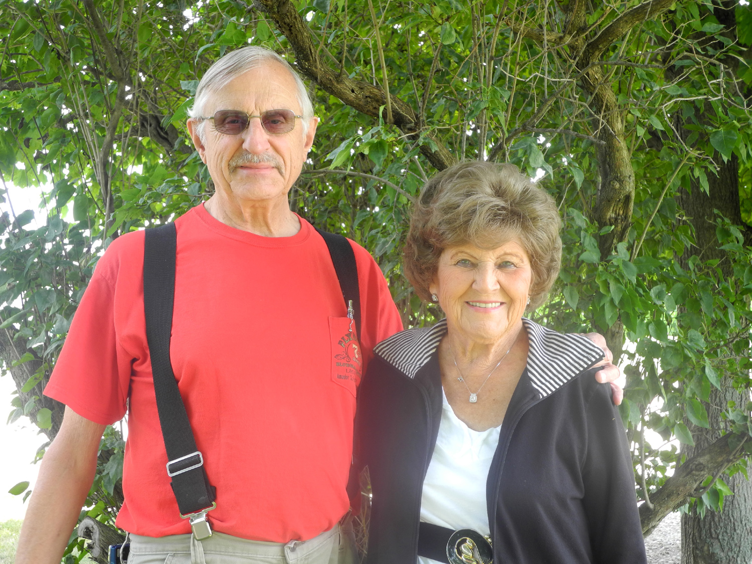
| Dick Estel and June Ganshorn | Lots of choices | ||
 |
|||
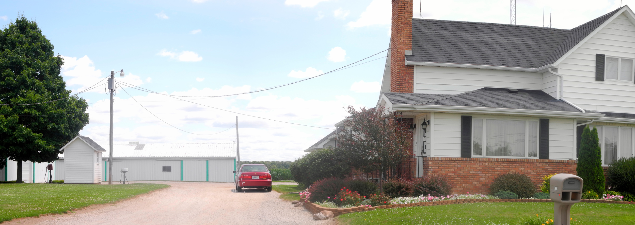
| June Ganshorn house and farm, Etna Green, Indiana | |||
| Ohio & Michigan | |||
 |
 |
 |
|
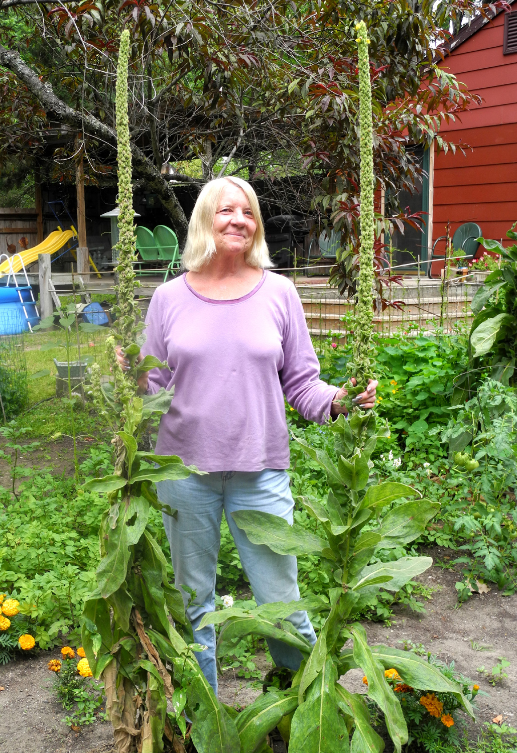
| Cousin Martha and her mulleins |
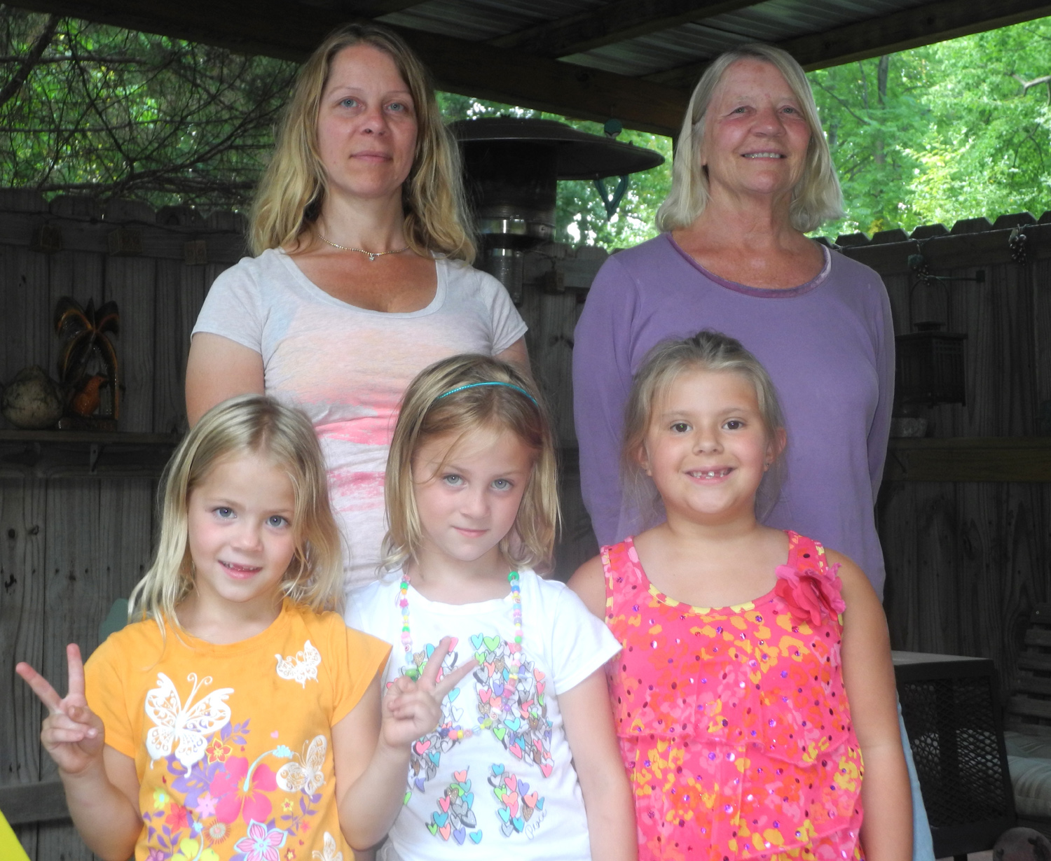
Daughter Heidi, Martha,
twins |
In Oak Openings Preserve (trees broken off by a tornado) |
|
 |
 |
 |
|
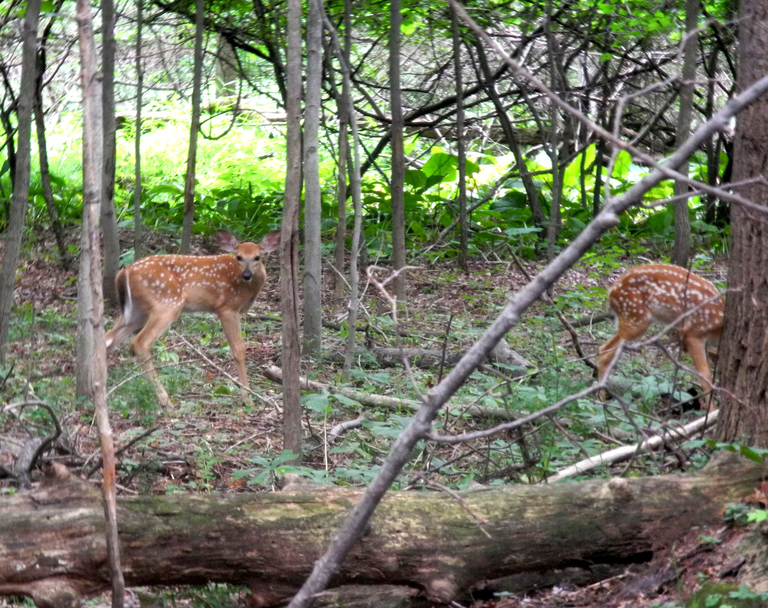
| Another view in Oak Openings | Twin fawns in the preserve | Blossoms in the preserve | |
 |
 |
 |
|
|
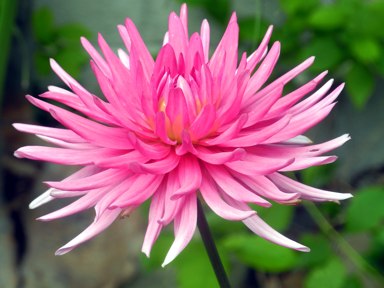
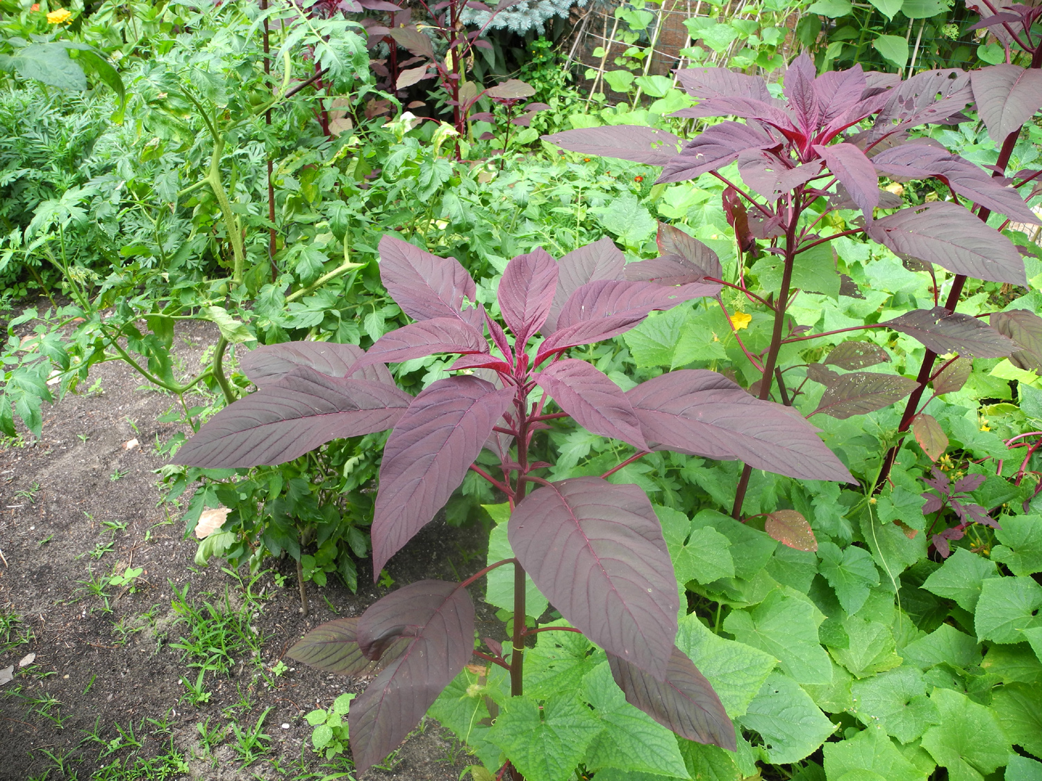
A dramatic flower in Martha's garden |
A unique red-leaf plant |
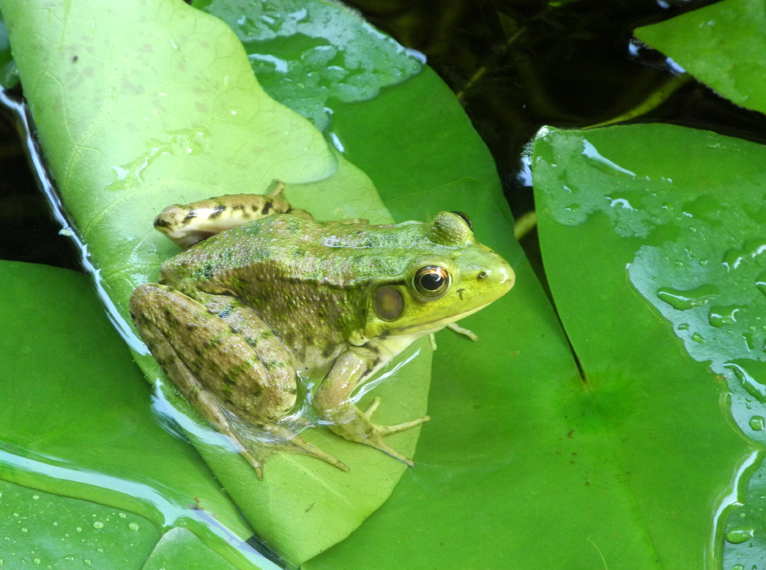
Frogs enjoy a quiet pond in the garden |
|
 |
 |
 |
|
| Here, it IS easy being green | Martha's back yard | A lupine blooms in Ohio | |
 |
 |
 |
|
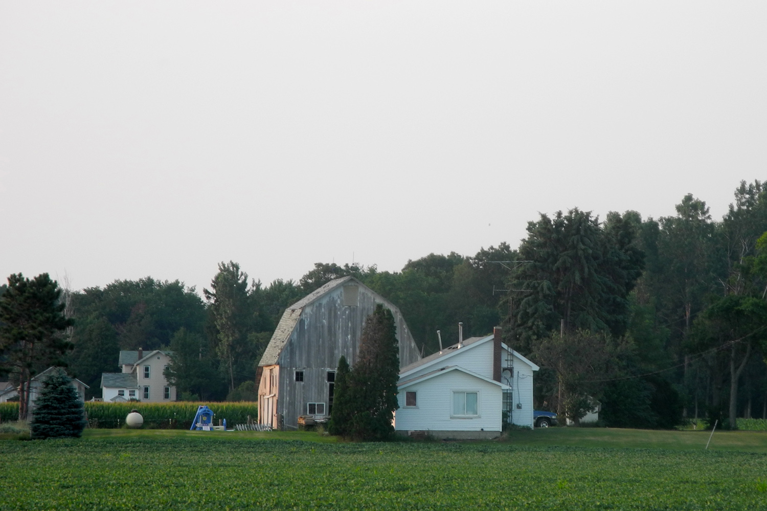
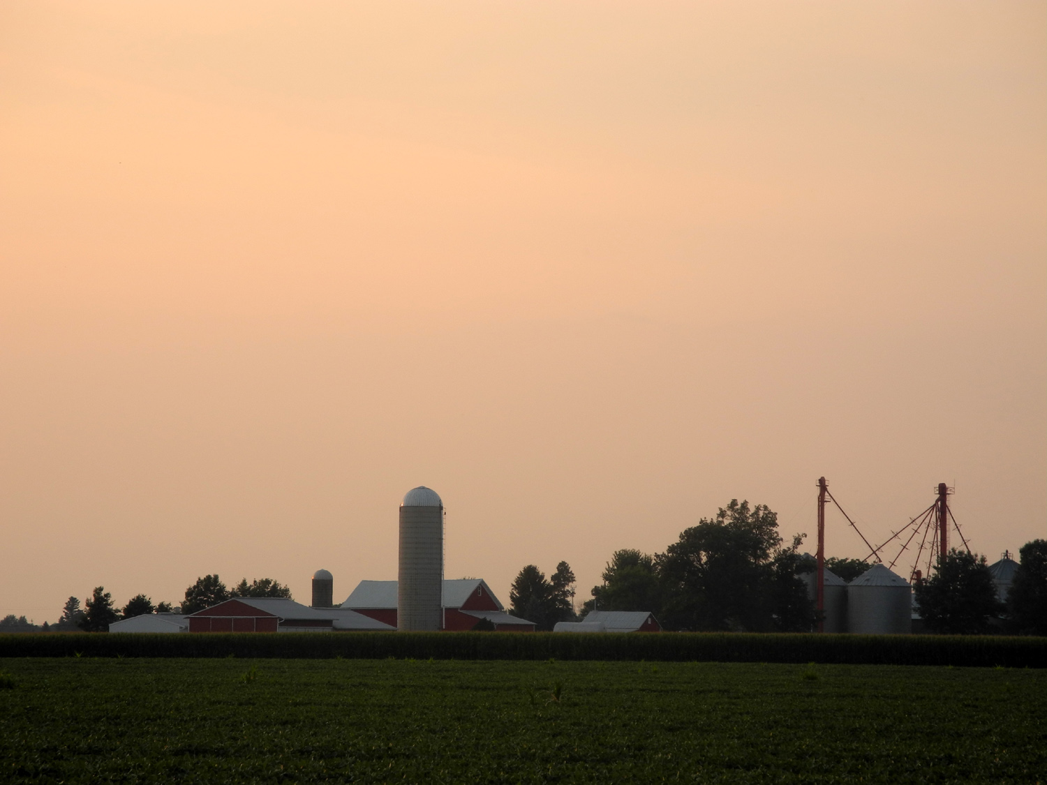
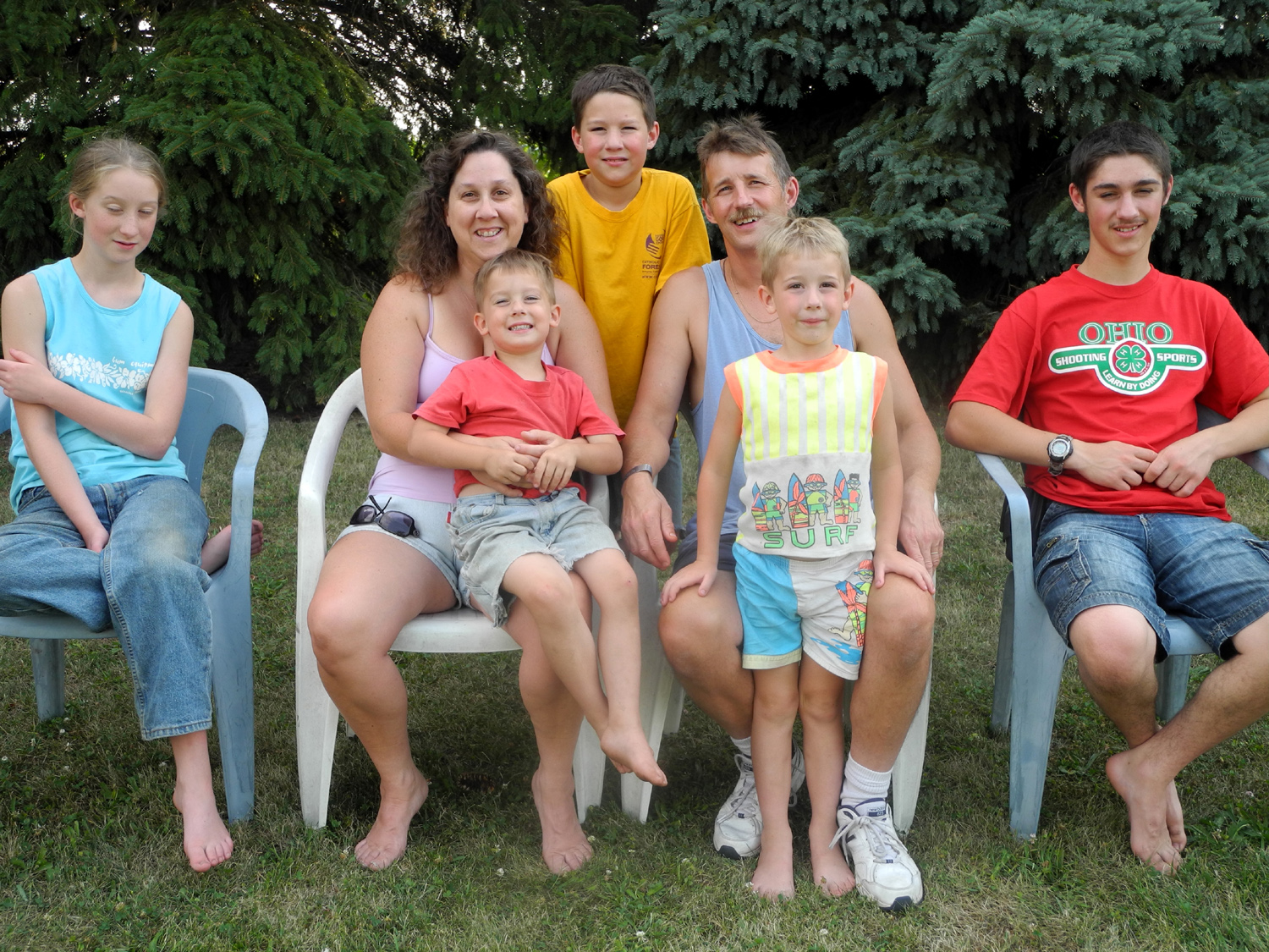
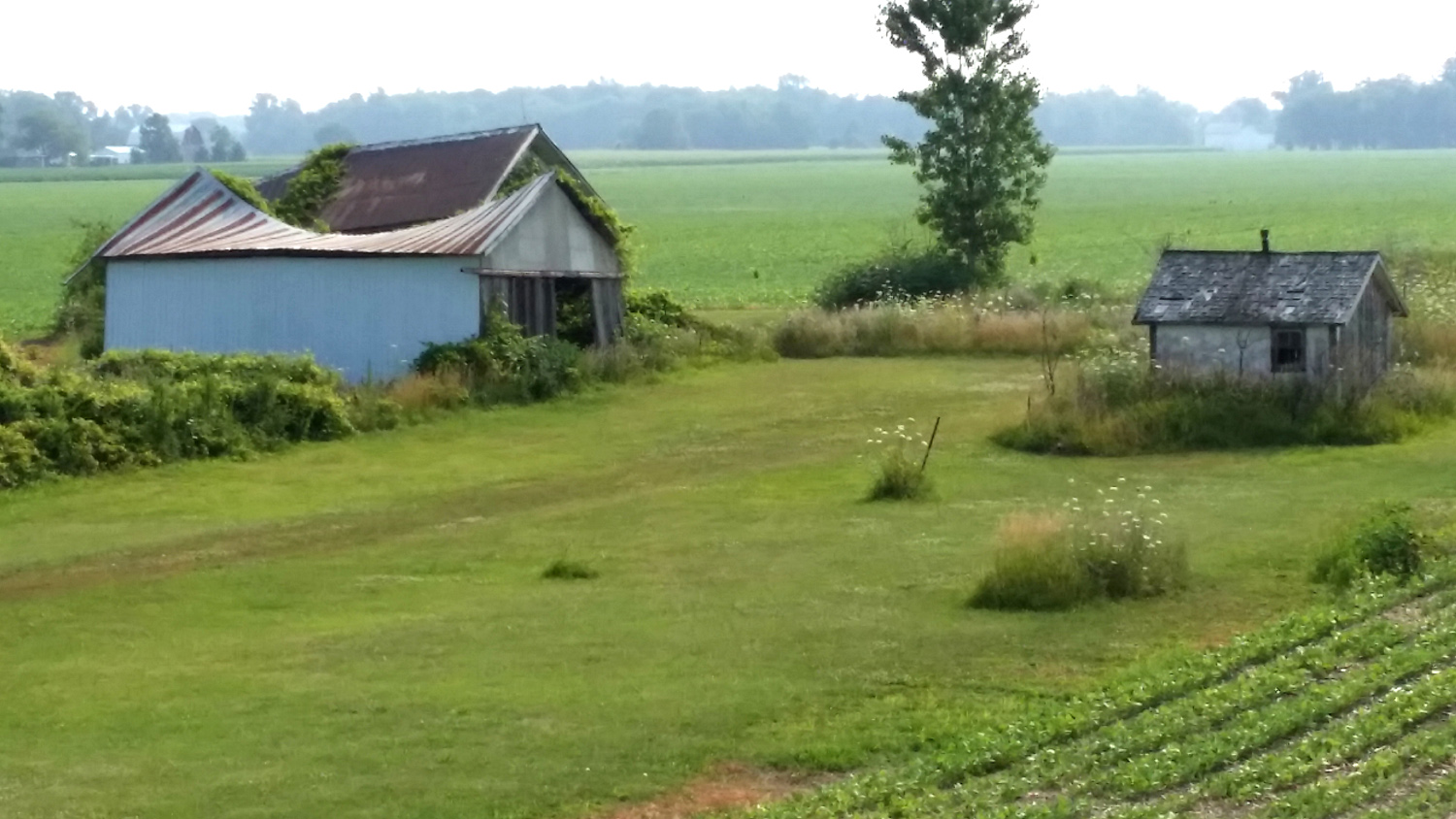
| Barn north of Delta, Ohio | Sunset on the farm | The
Snyders: Kate, Annnette & Dom, Mark, Rob & Luke, Jacob |
|
|
 |
 |
|
|
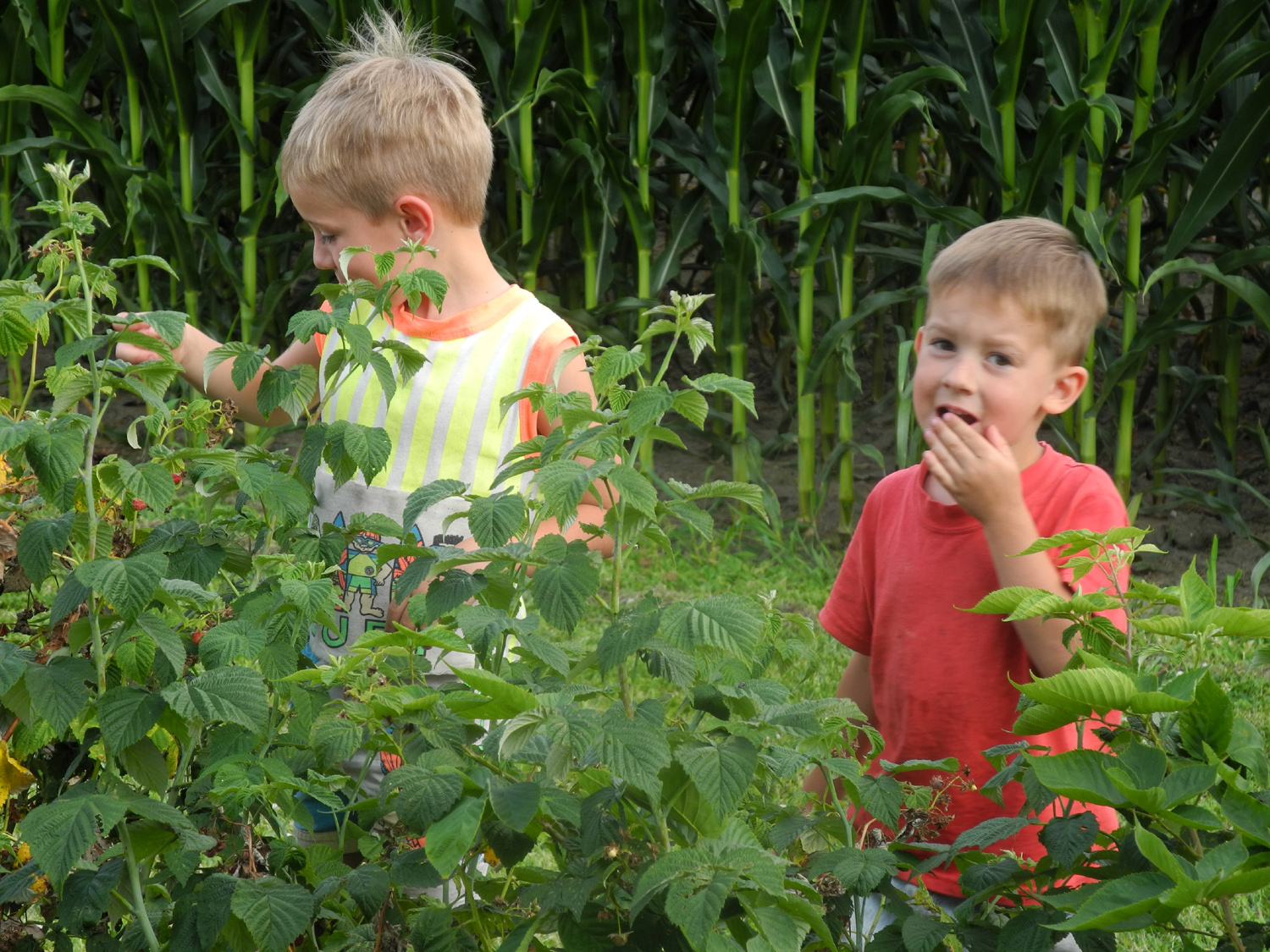
Luke & Dominic sample the berry crop |
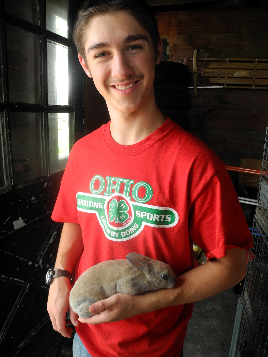
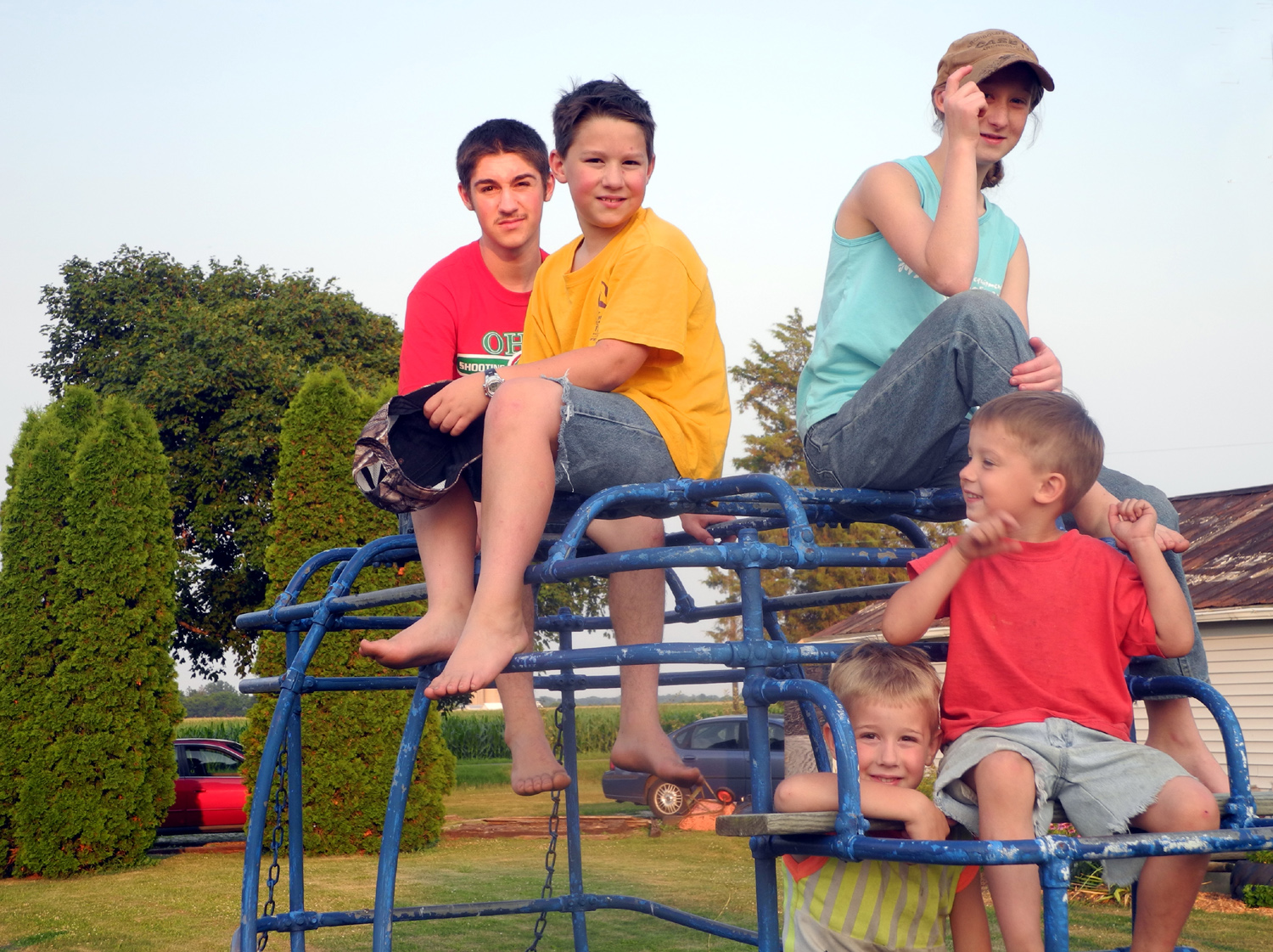
Jacob and rabbit | The kids on the stage coach climbing bars | |
 |
 |
 |
|
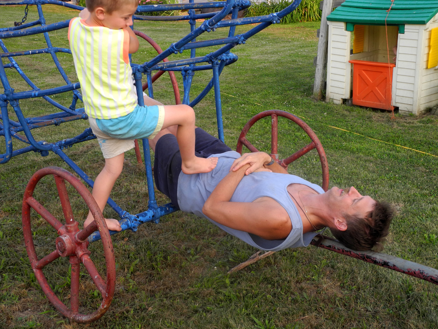
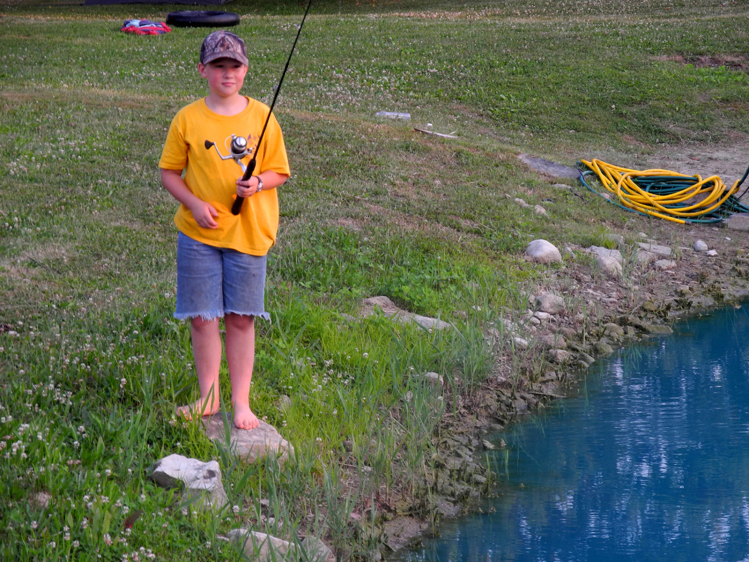
| Luke ready to hop on pop | Fisherman Mark |
In a non-traditional
approach, |
|
 |
 |
 |
|
|
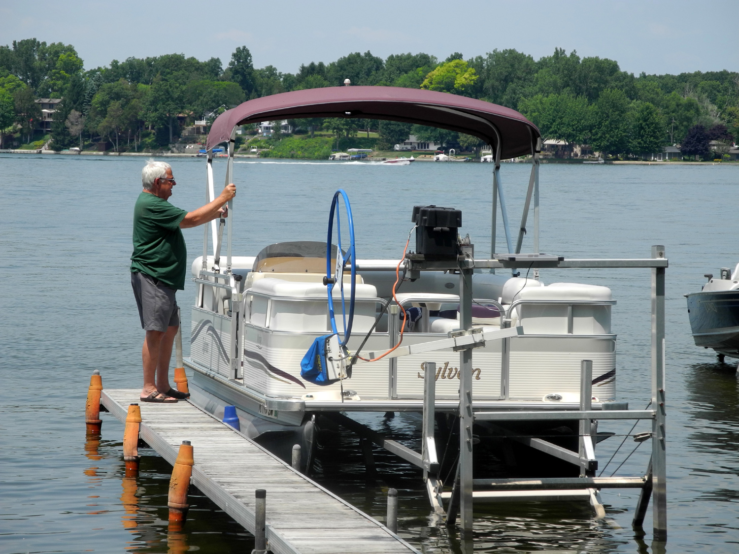
Ron Dzierzawski getting the boat ready |
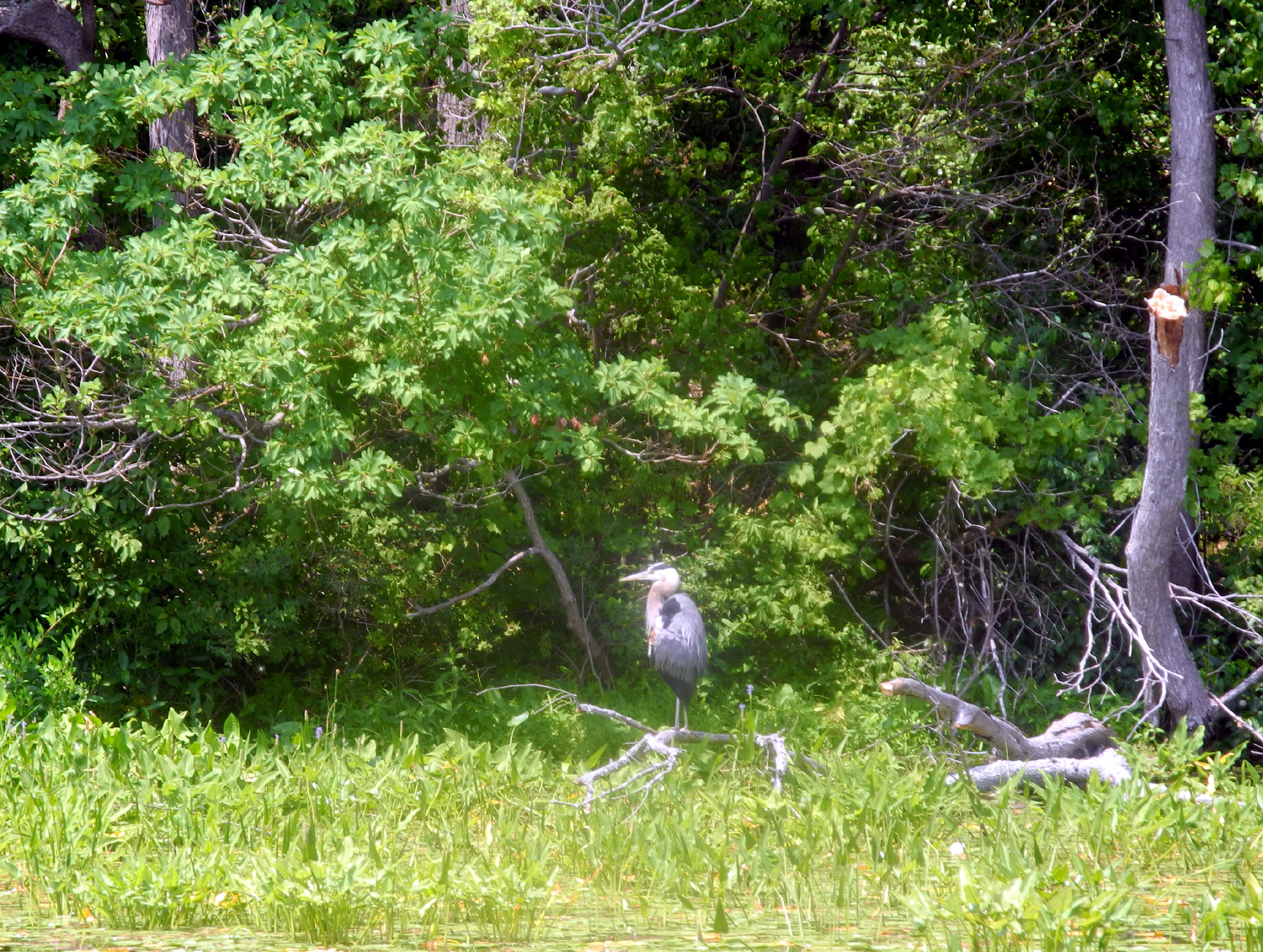
The view from Wampler's Lake, Michigan | Blue Heron patrolling the lake | |
 |
 |
 |
|
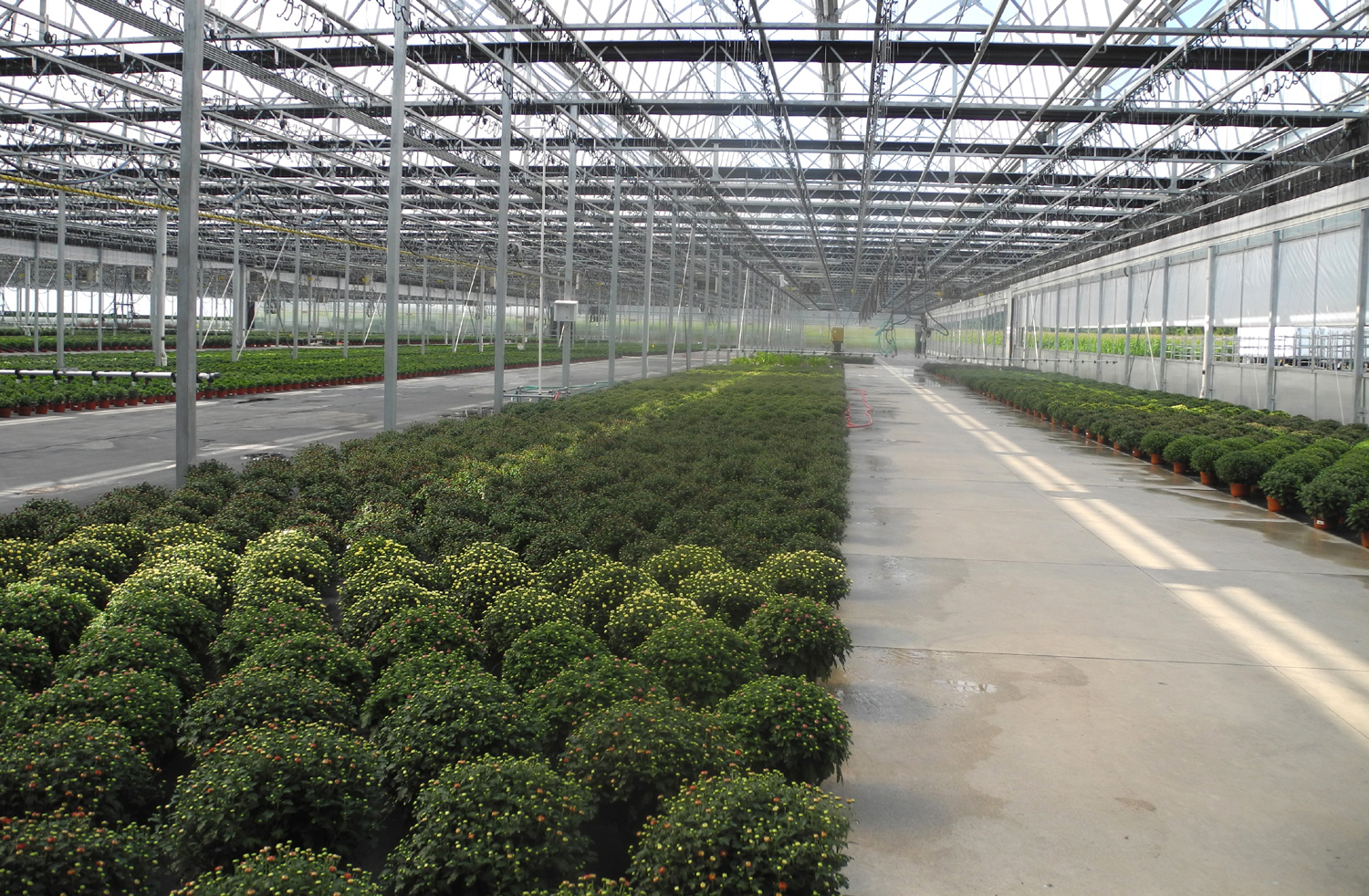
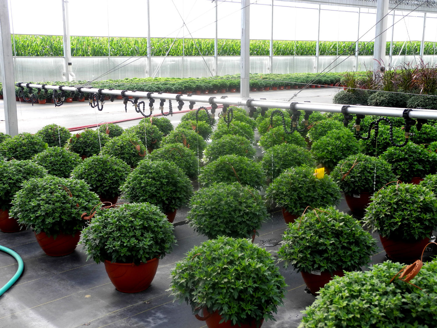
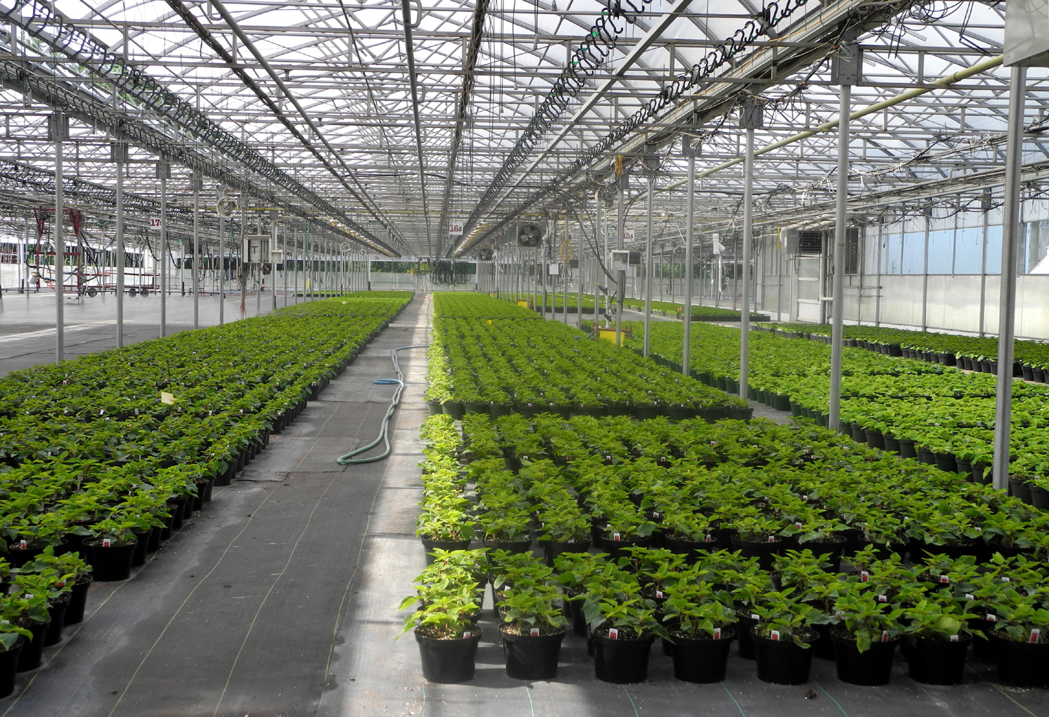
| Chrysanthemums in Vaughn greenhouse | Automatic watering | Poinsettias | |
 |
 |
 |
|
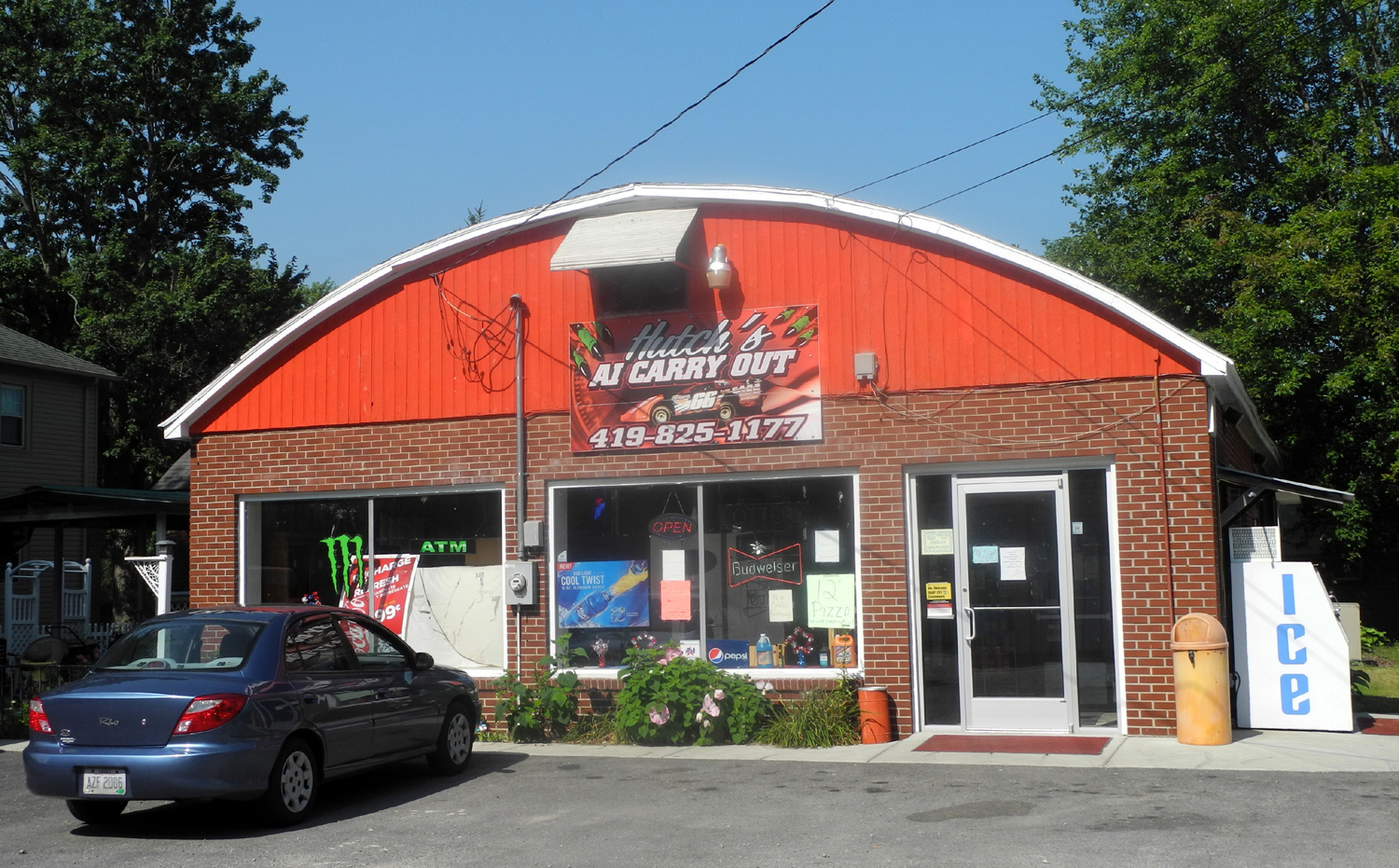
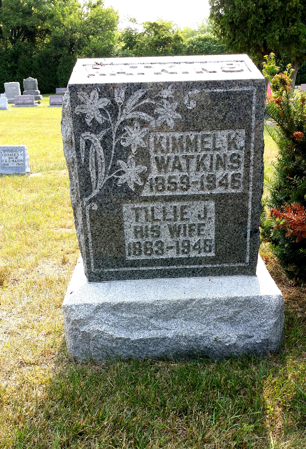
| Downtown Ai | Where K.K. & Tillie Watkins lived in 1920 | K.K. & Tillie headstone | |
| Missouri Again | |||
 |
 |
|
|
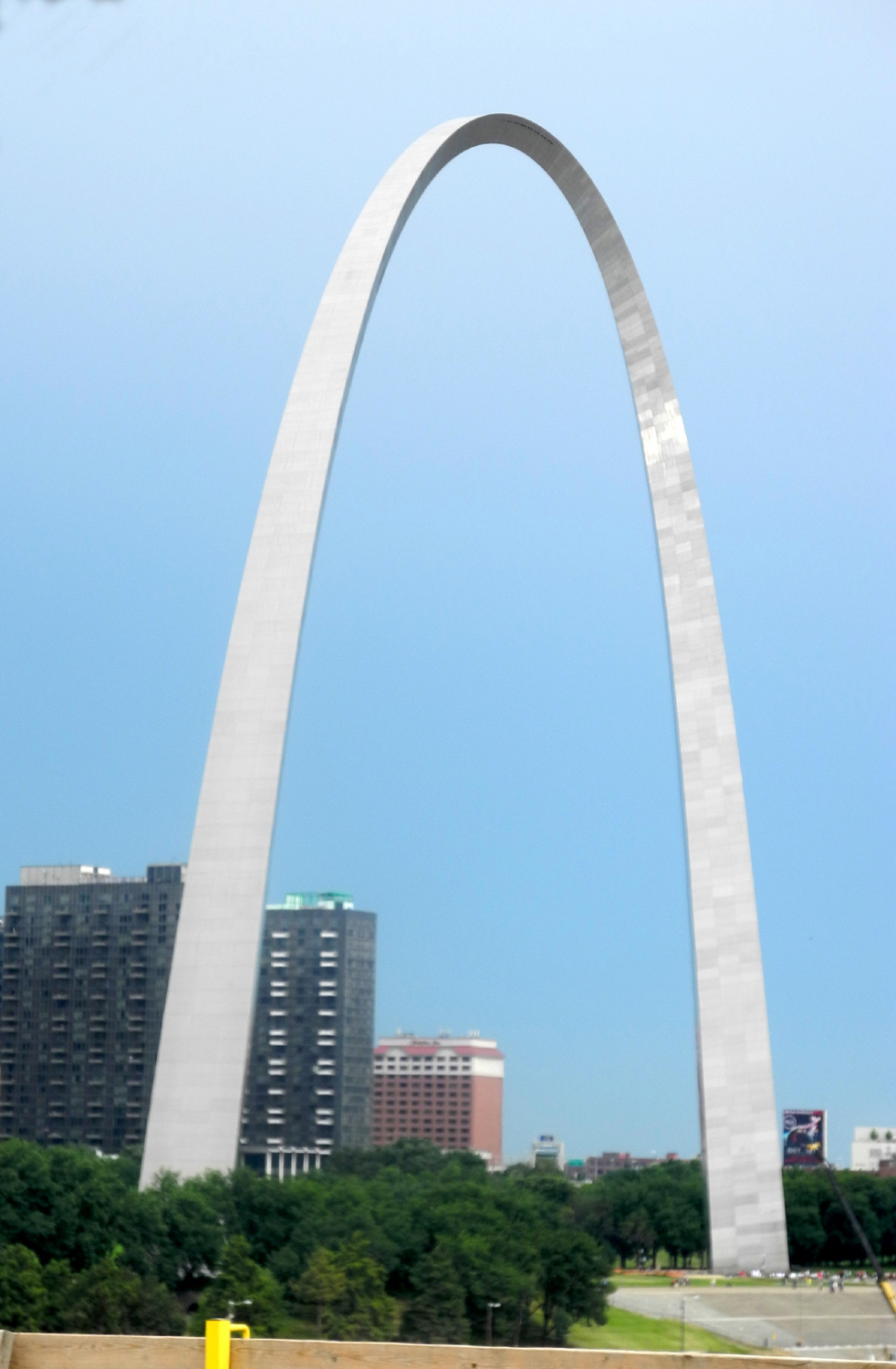
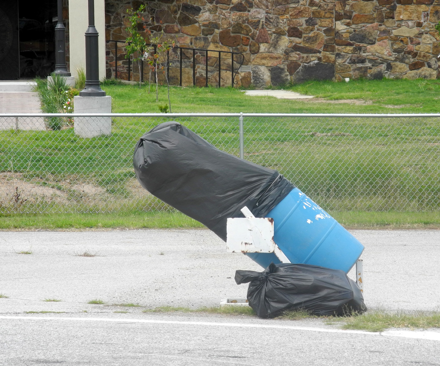
| Gateway Arch in St. Louis | The wind turned this garbage can inside out |
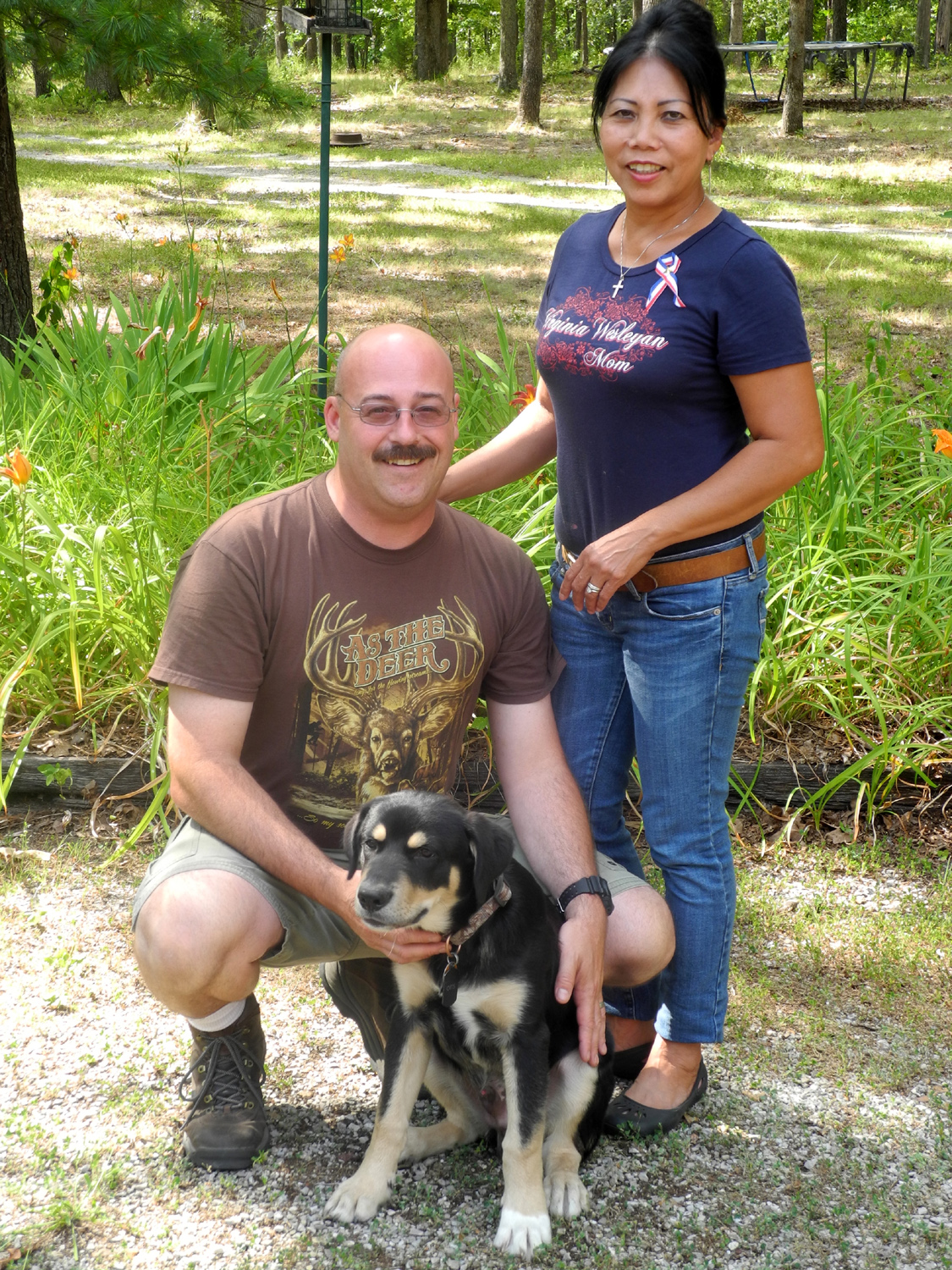
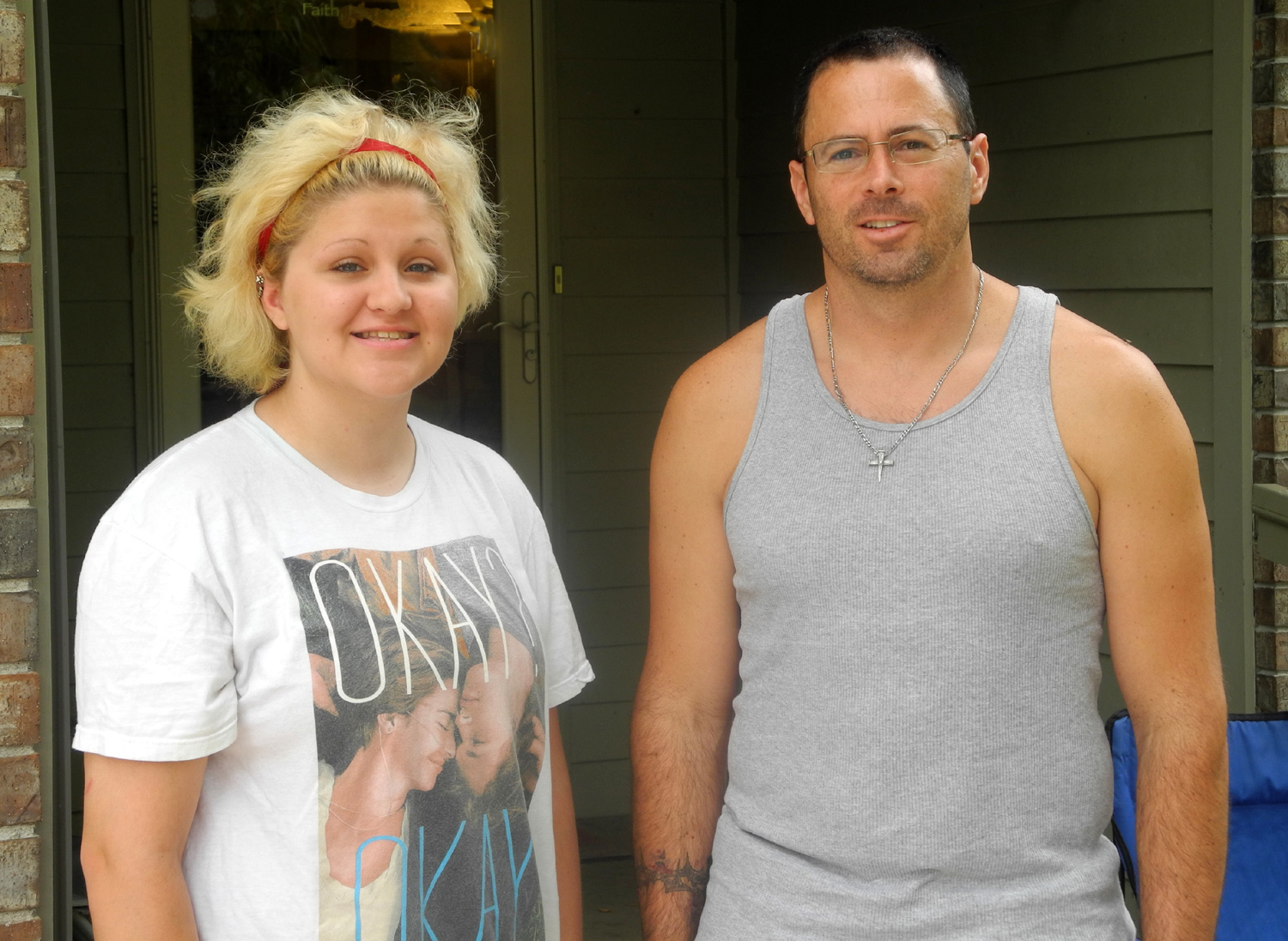
James & Paz Hall, Dick, Gayle & Jim Hall |
|
 |
 |
 |
|
| Jim, Gayle & Amos | James, Paz & Otis | Aaron Hall & daughter Casey | |
 |
|||
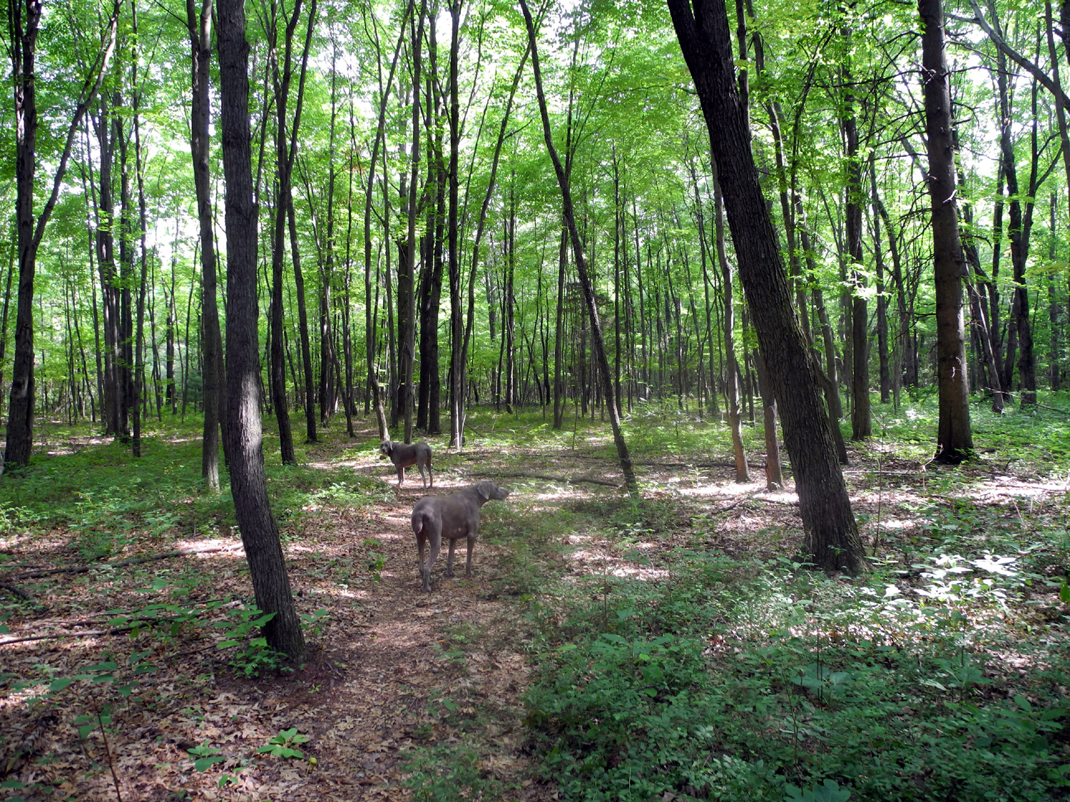
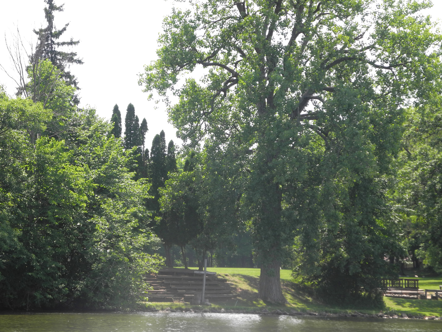
| Woods back of Jim's place | |||
| Heading Home | |||
 |
 |
 |
|
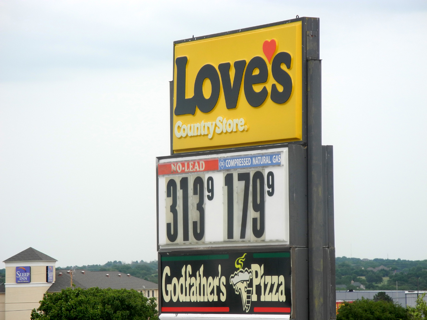
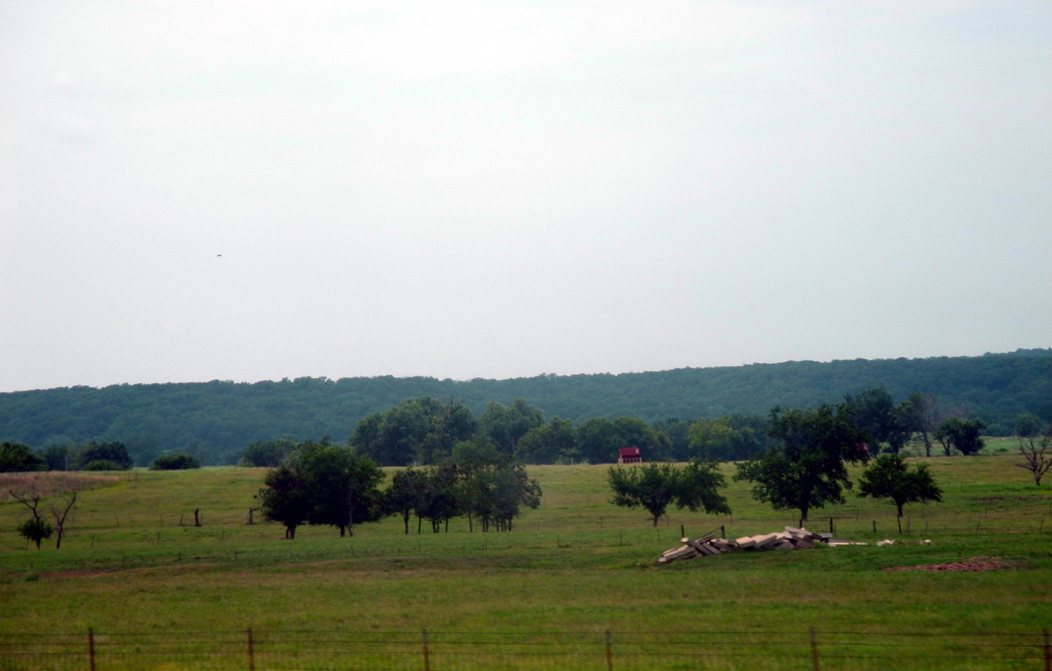
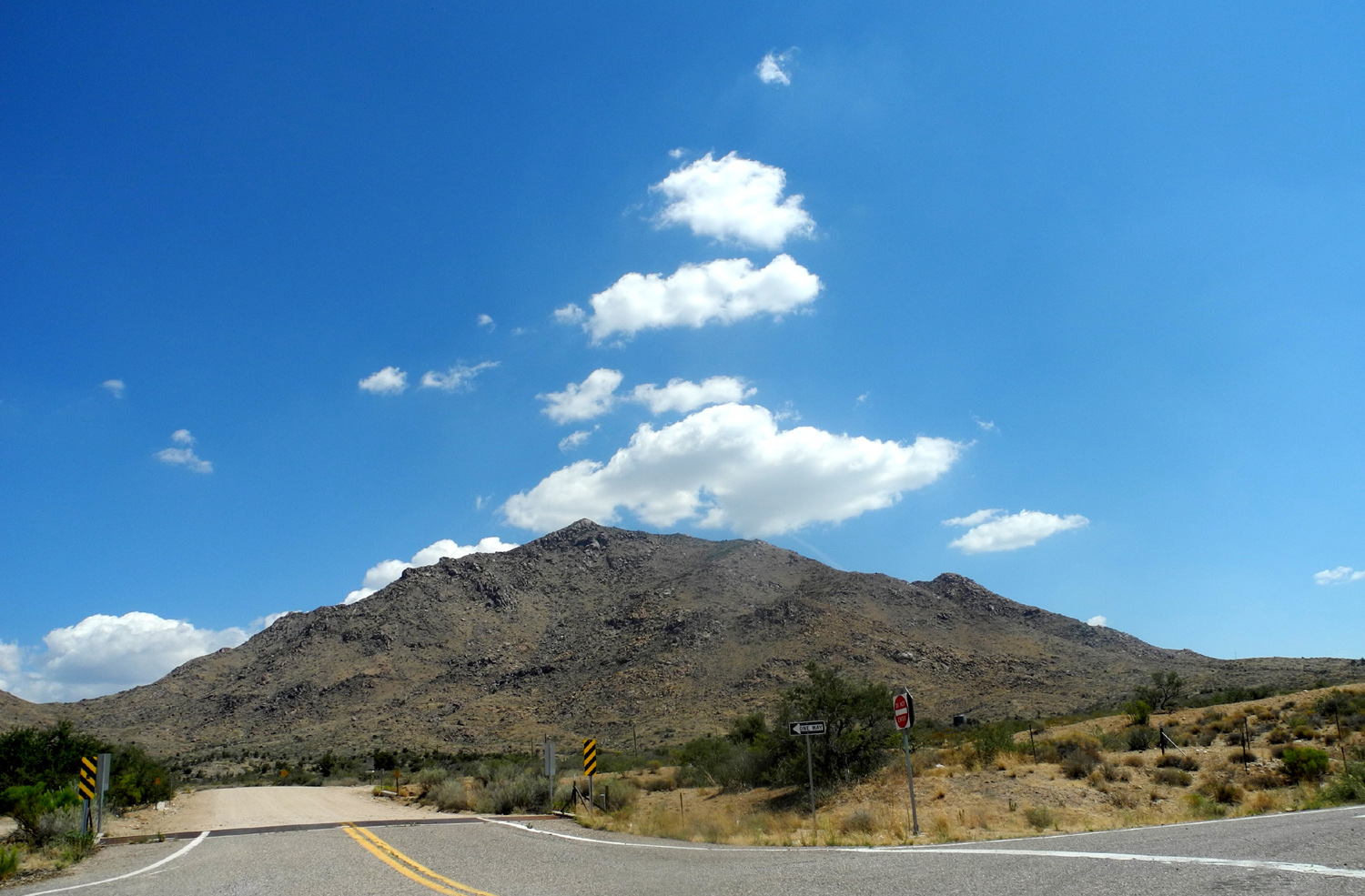
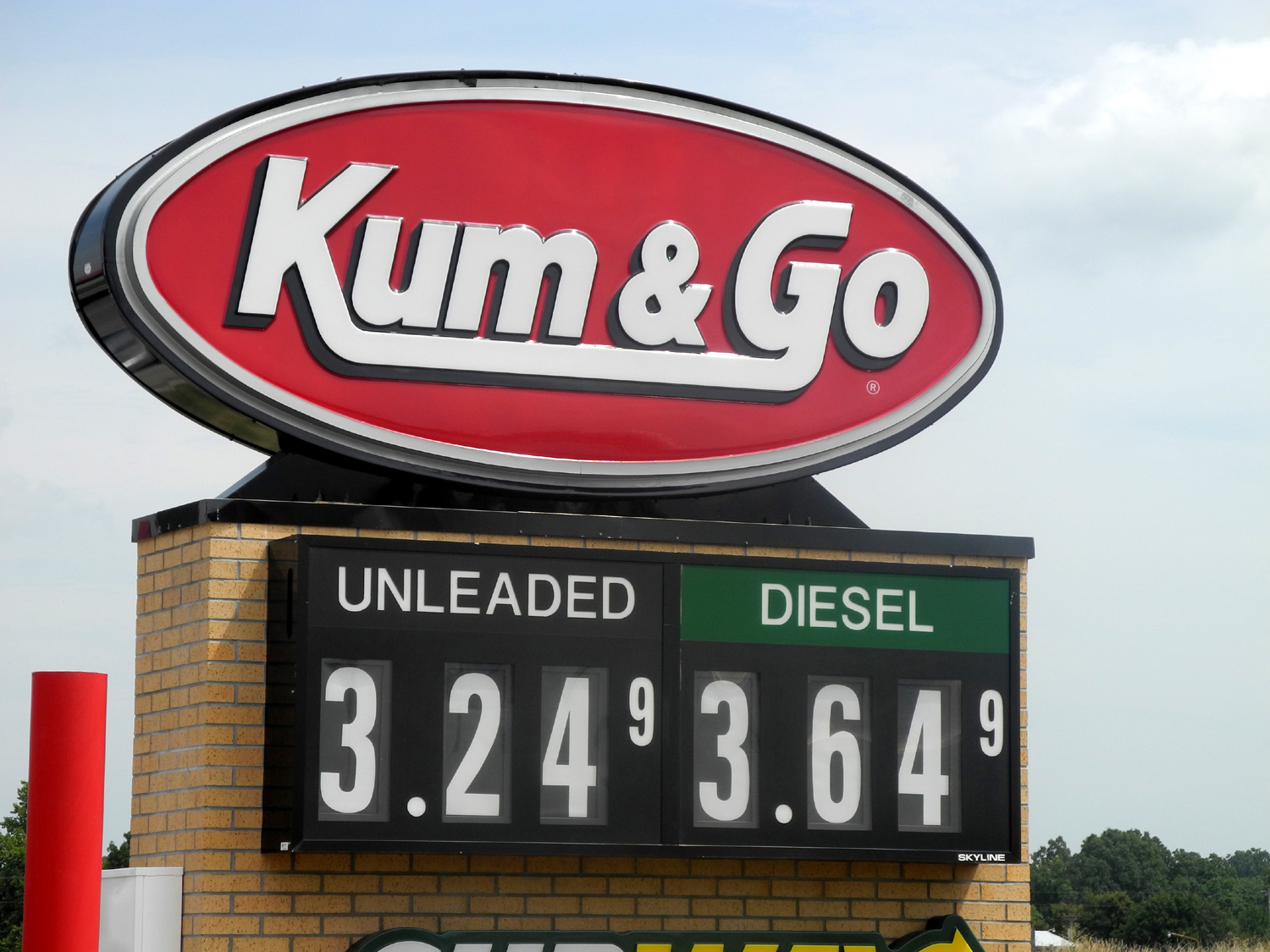
| The real west | Cheapest gas on the trip | Green fields | |
 |
 |
 |
|
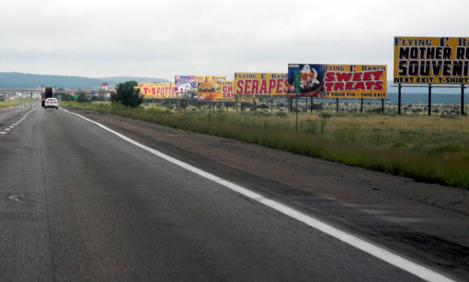
| Sunflowers in Oklahoma | Lots of signs for the Flying C Ranch in New Mexico | Do you see the face? | |
|
 |
 |
|
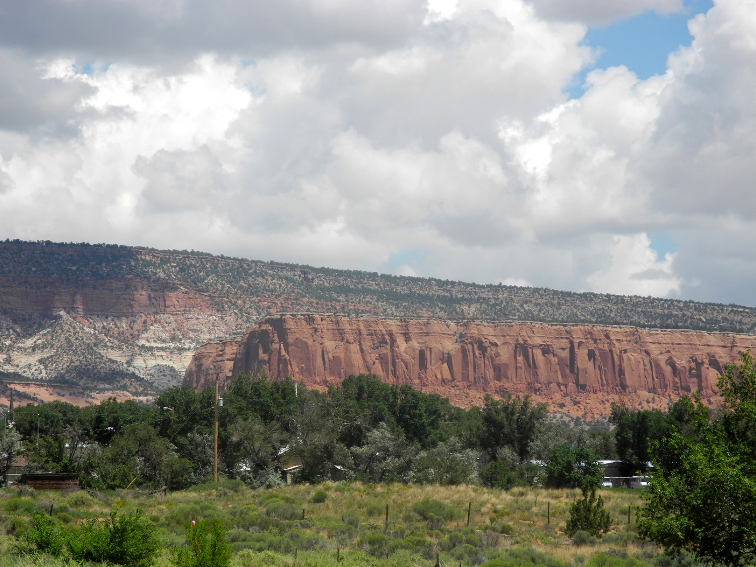
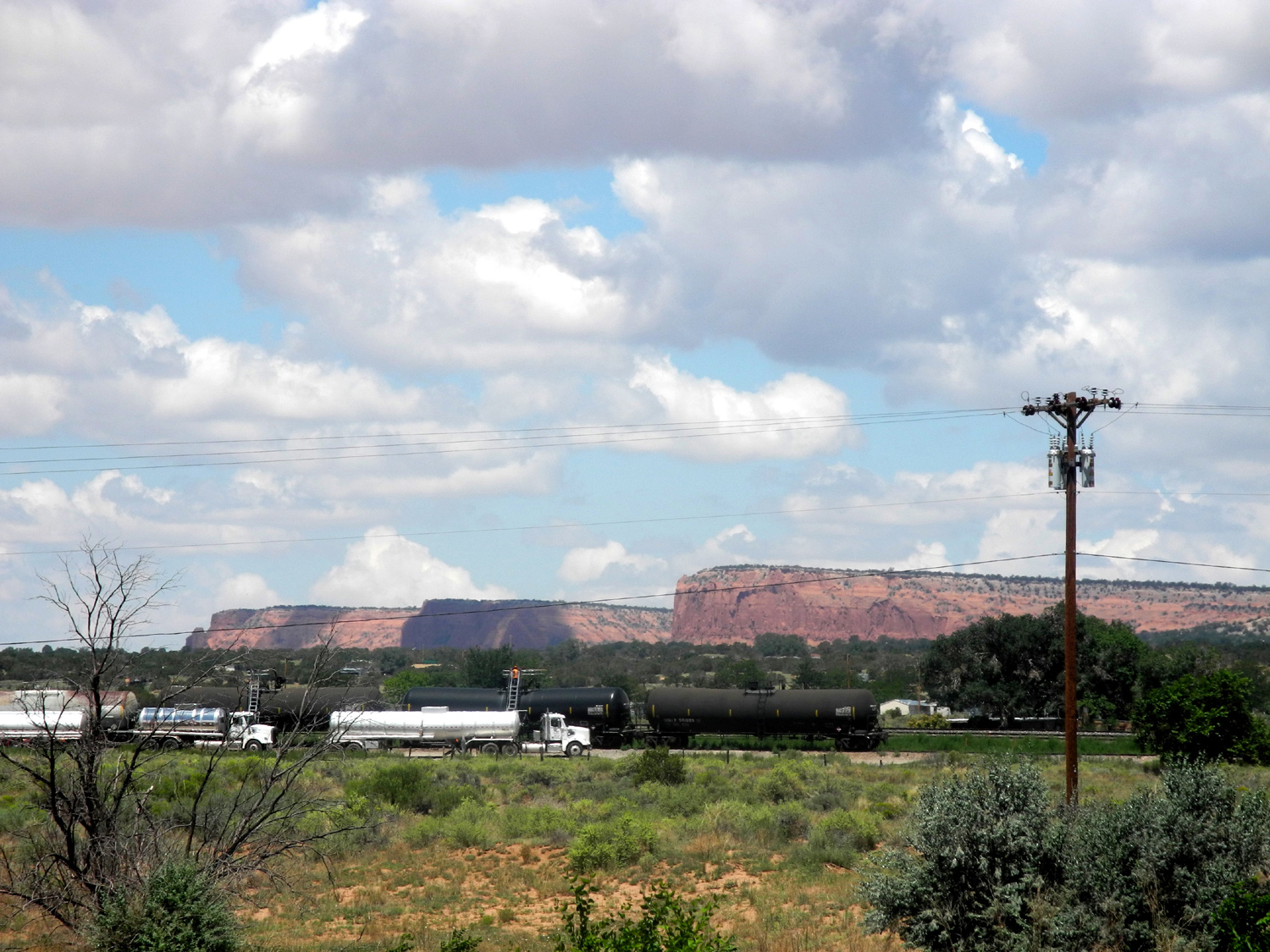
| Colorful New Mexico | More sandstone cliffs | At the edge of Santa Rosa, NM | |
 |
|||
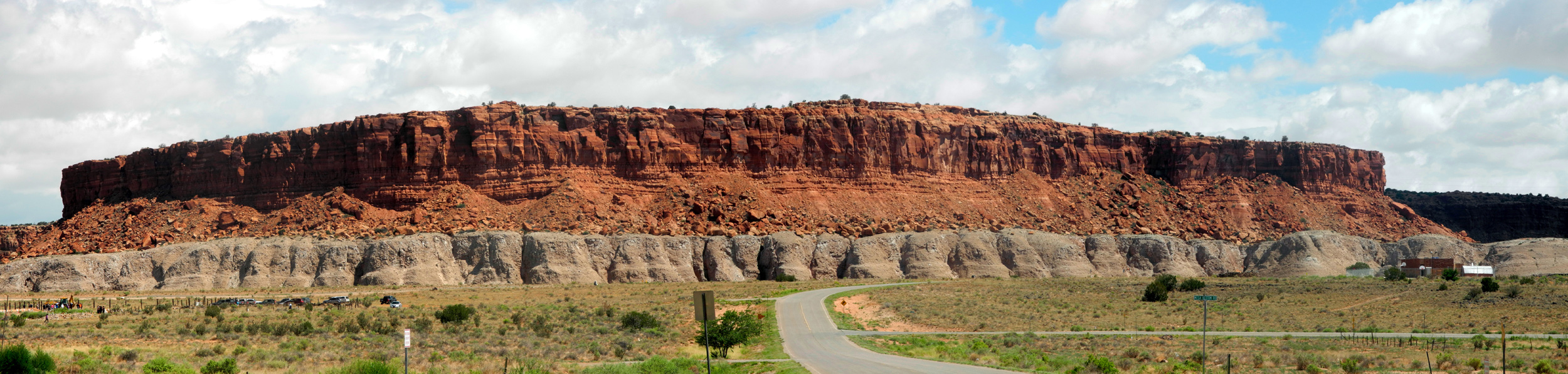
| A three layer "cake" of sandstone | |||
 |
 |
 |
|
|
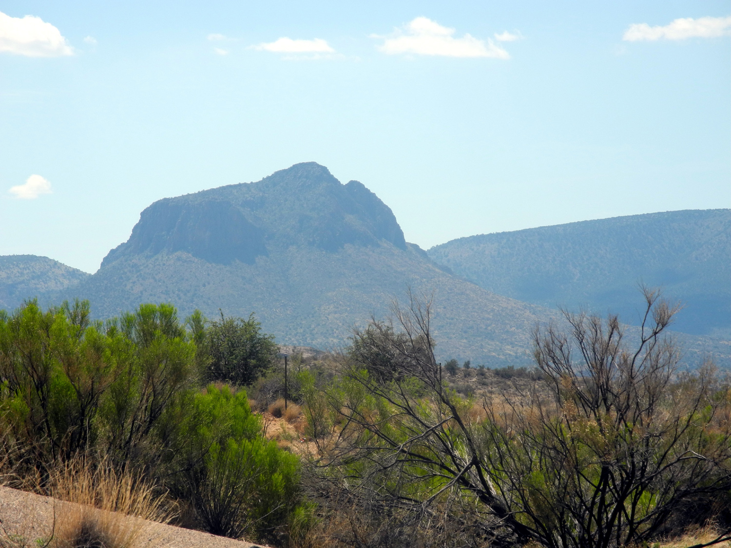
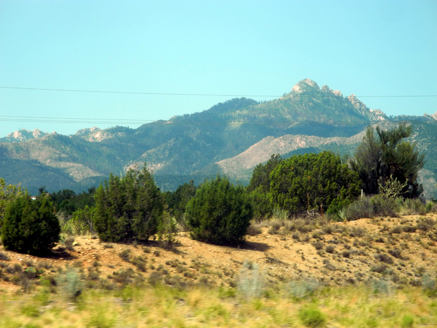
High desert and mountains in Arizona |
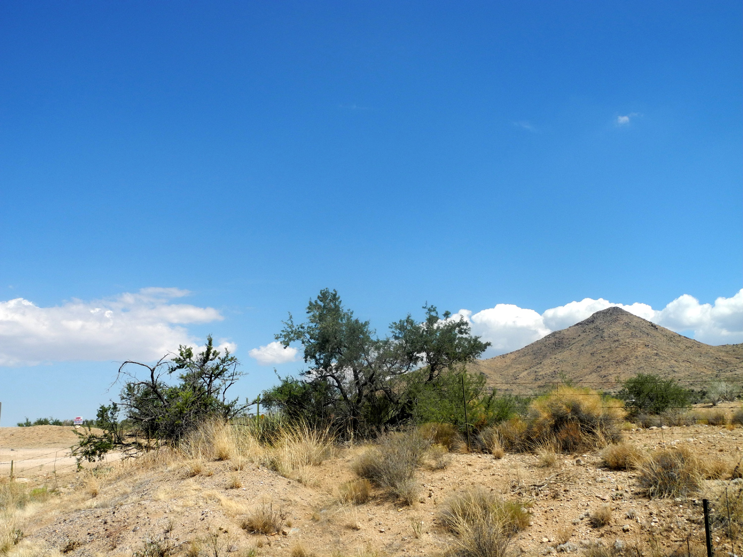
More Arizona | Arizona desert country | |
 |
 |
 |
|
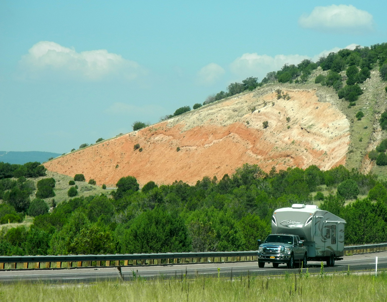
| An eroded hillside | Clouds stacked up in Arizona | Kramer Junction in California's Mojave Desert | |
 |
 |
 |
|
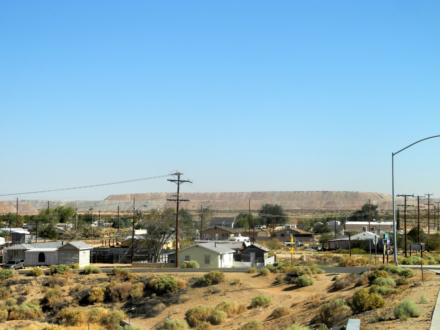
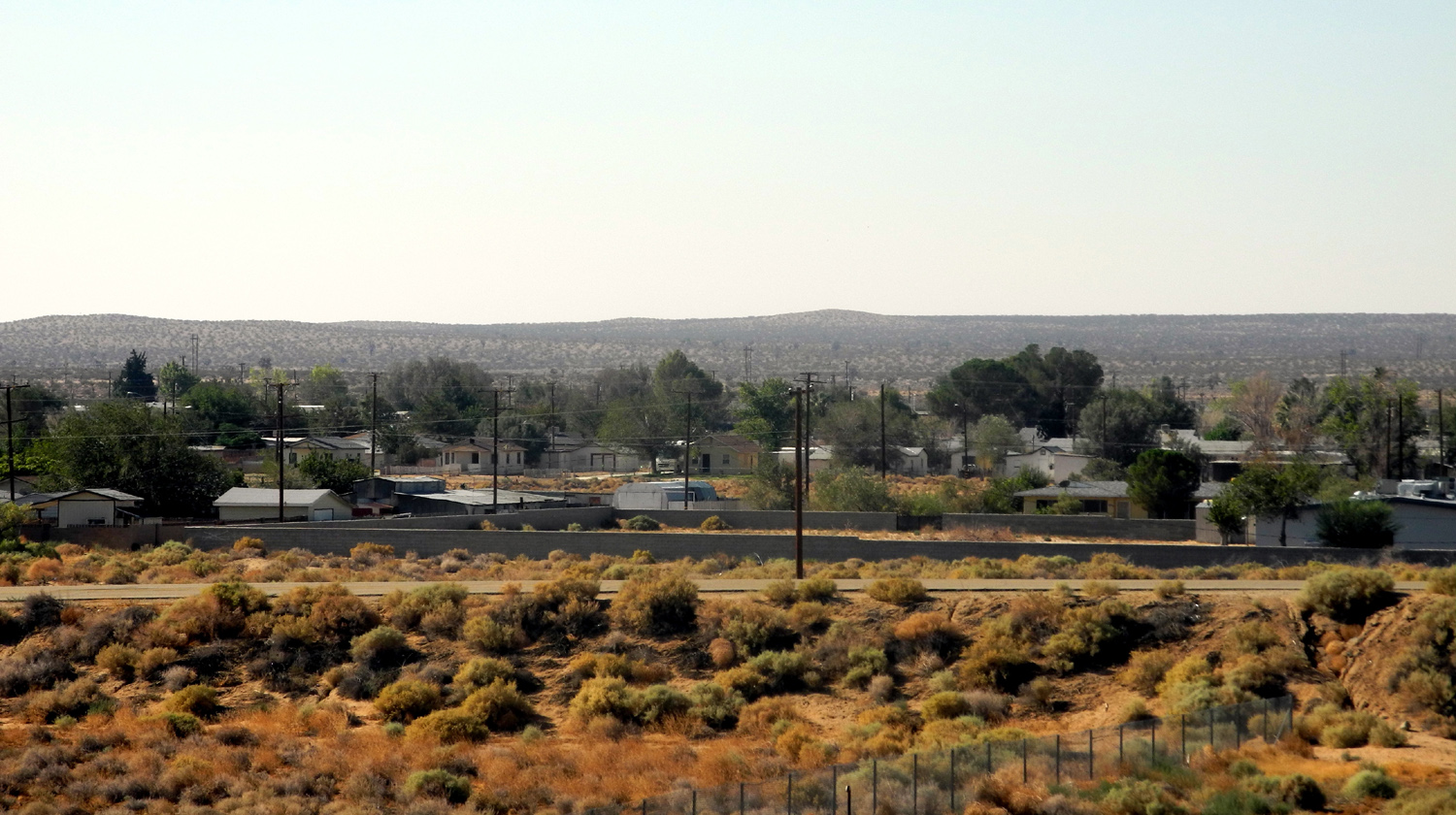
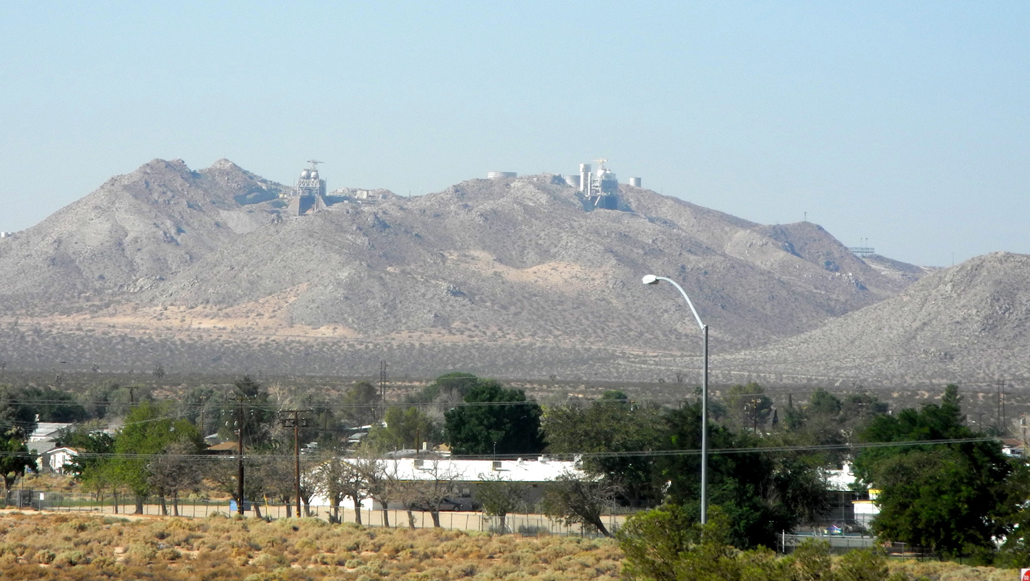
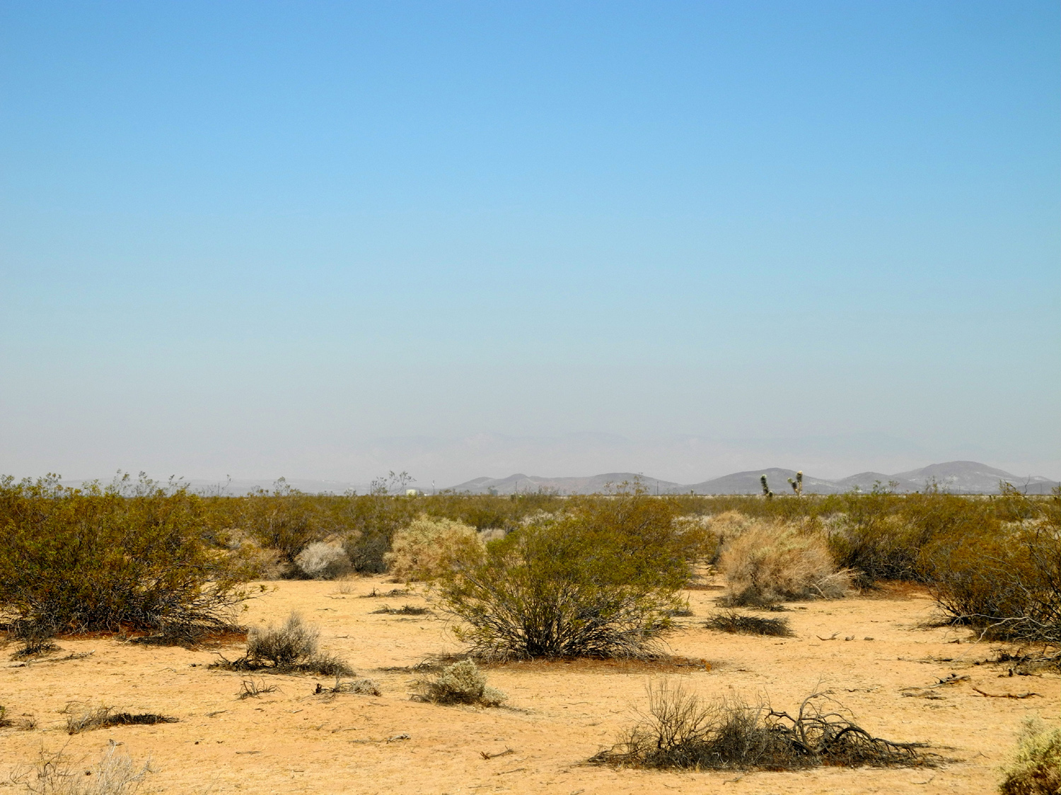
| The north side of Boron... | ...and the south side | Part of Edwards Air Force
Base, above the town of Boron |
|
 |
 |
 |
|
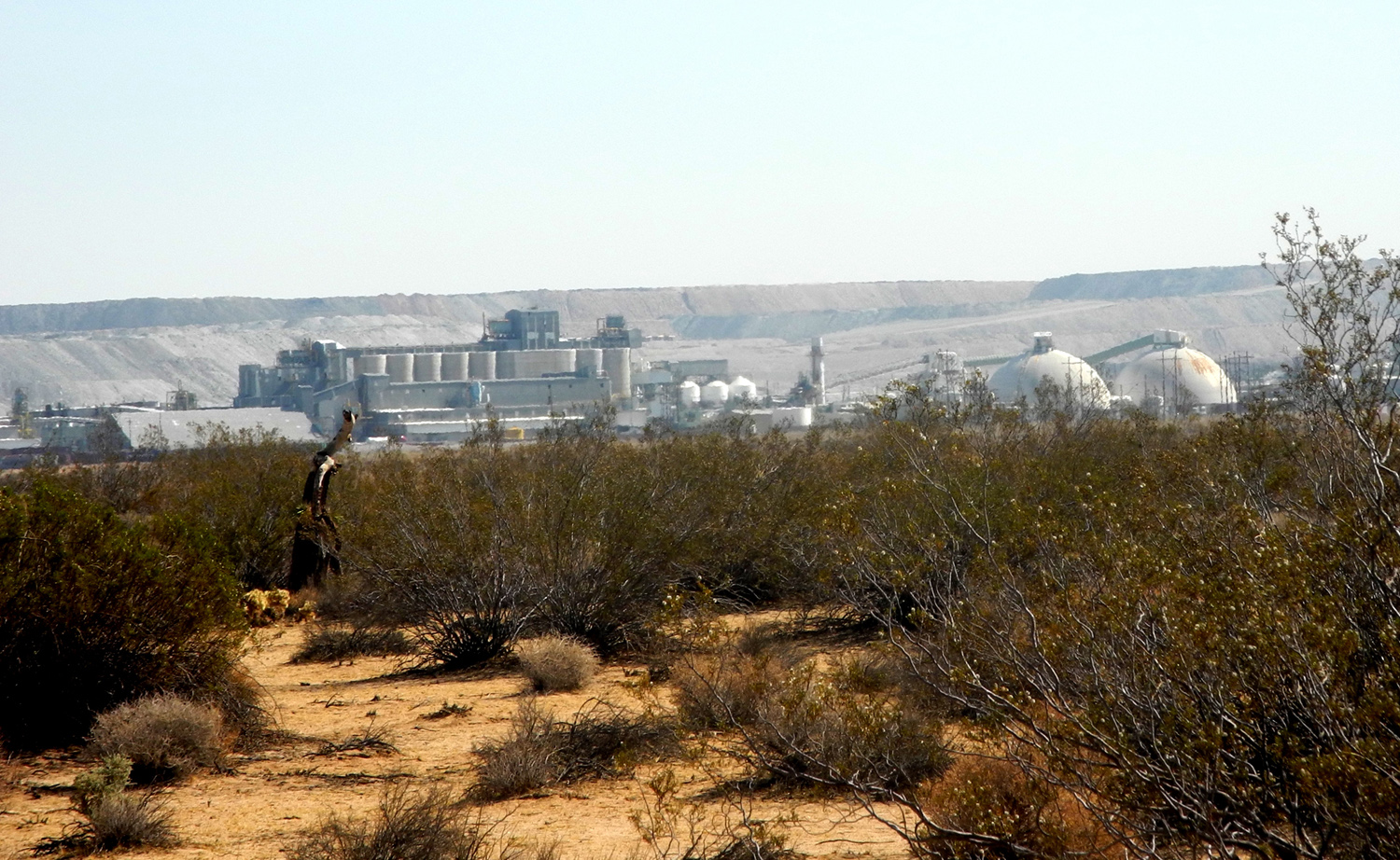
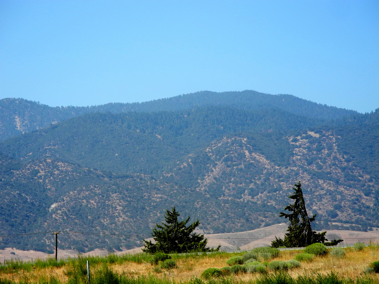
| A more than adequate number of creosote bushes | Borax mine and processing plant | Mountains south of Tehachapi | |
 |
 |
 |
|
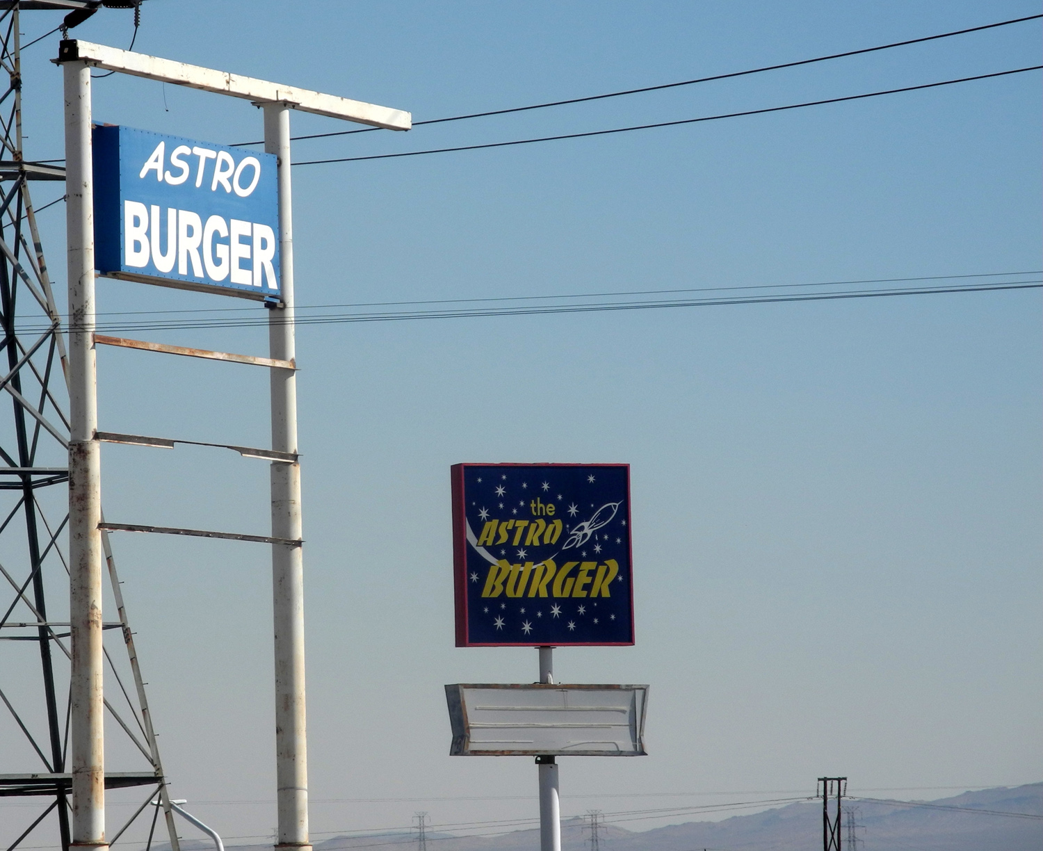
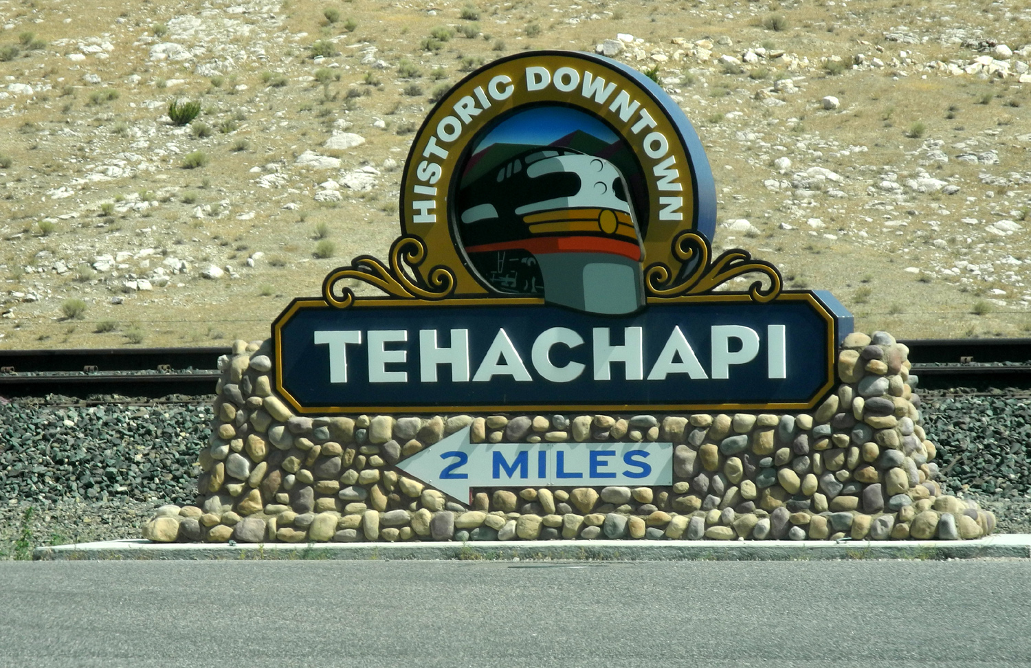
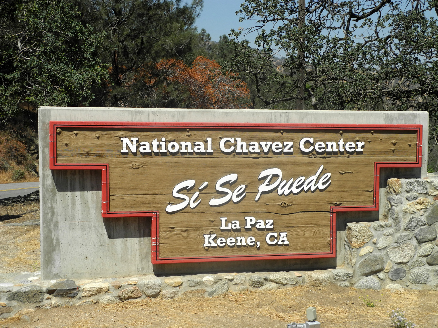
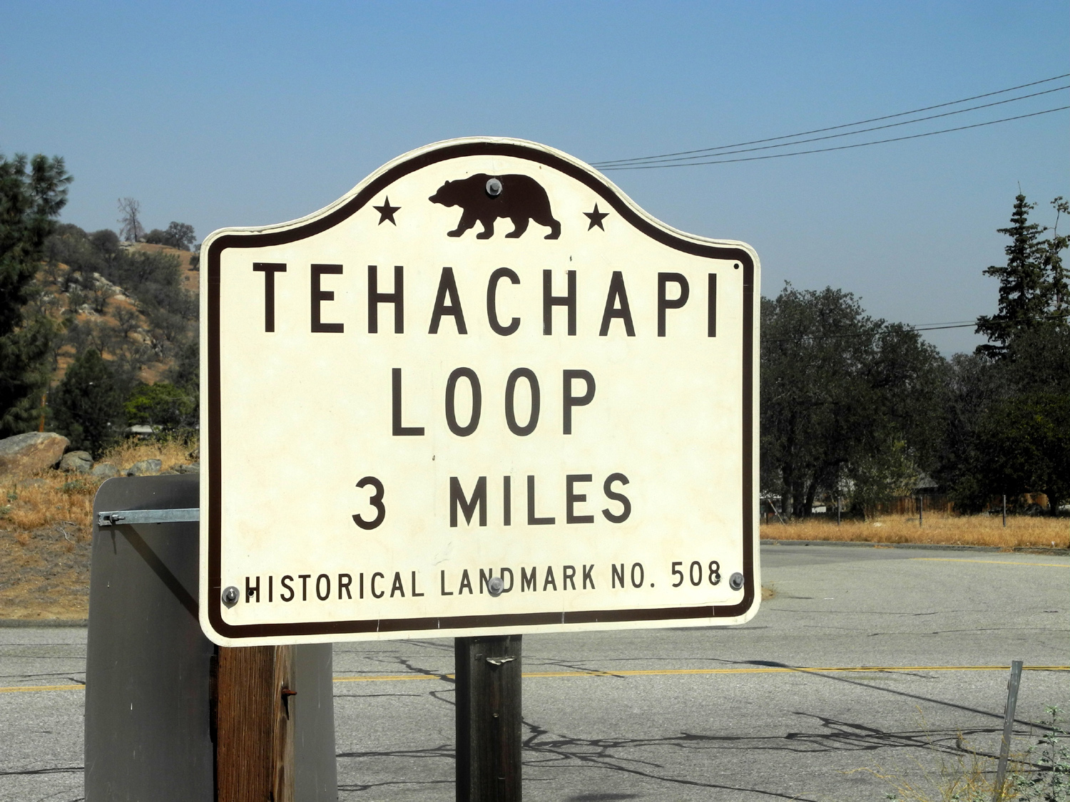
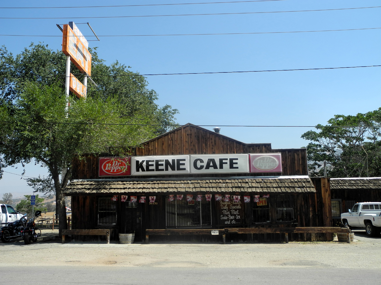
| The way to town | Keene's claim to fame | Keene's other claim to fame | |
 |
 |
 |
|
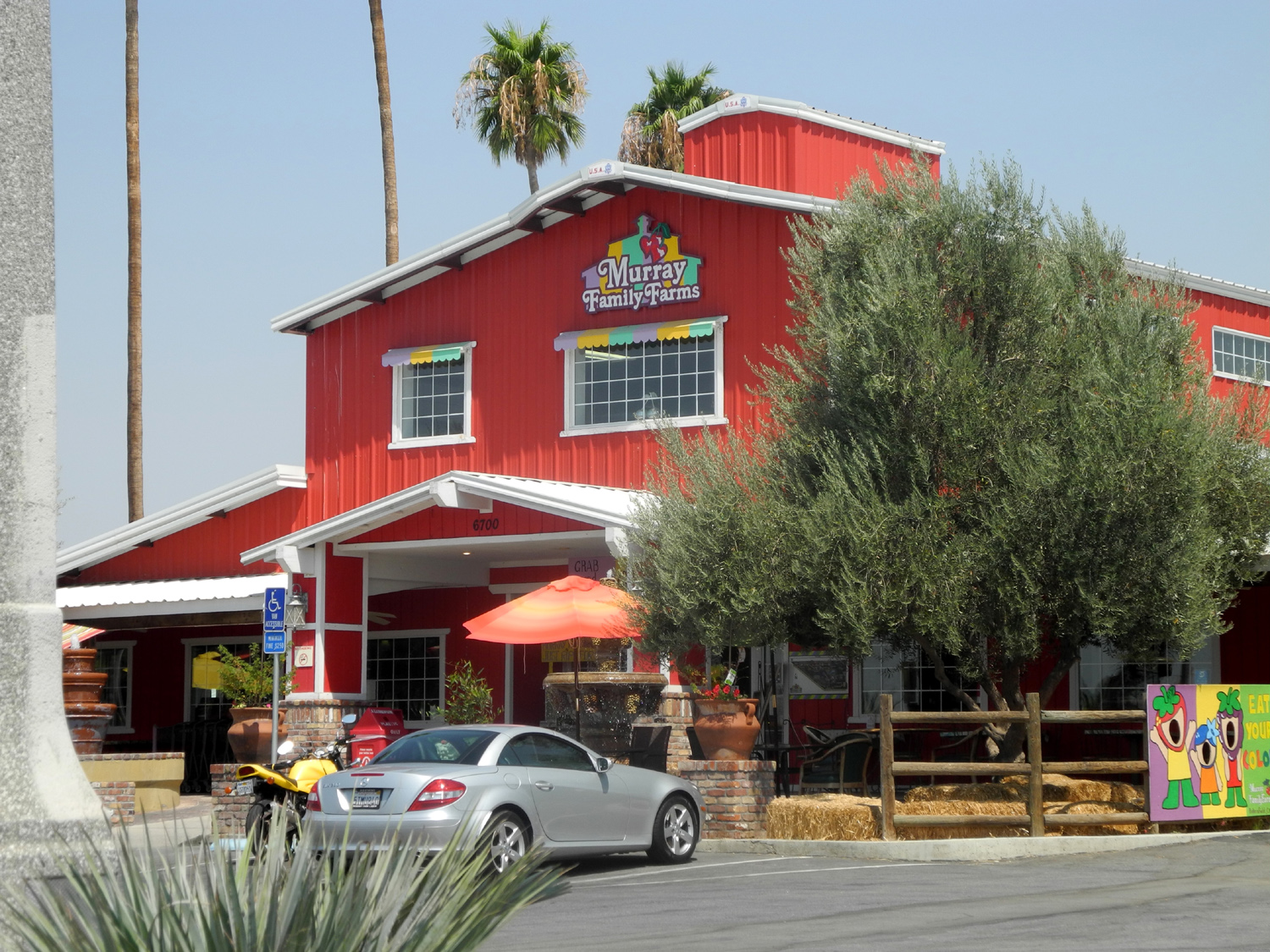
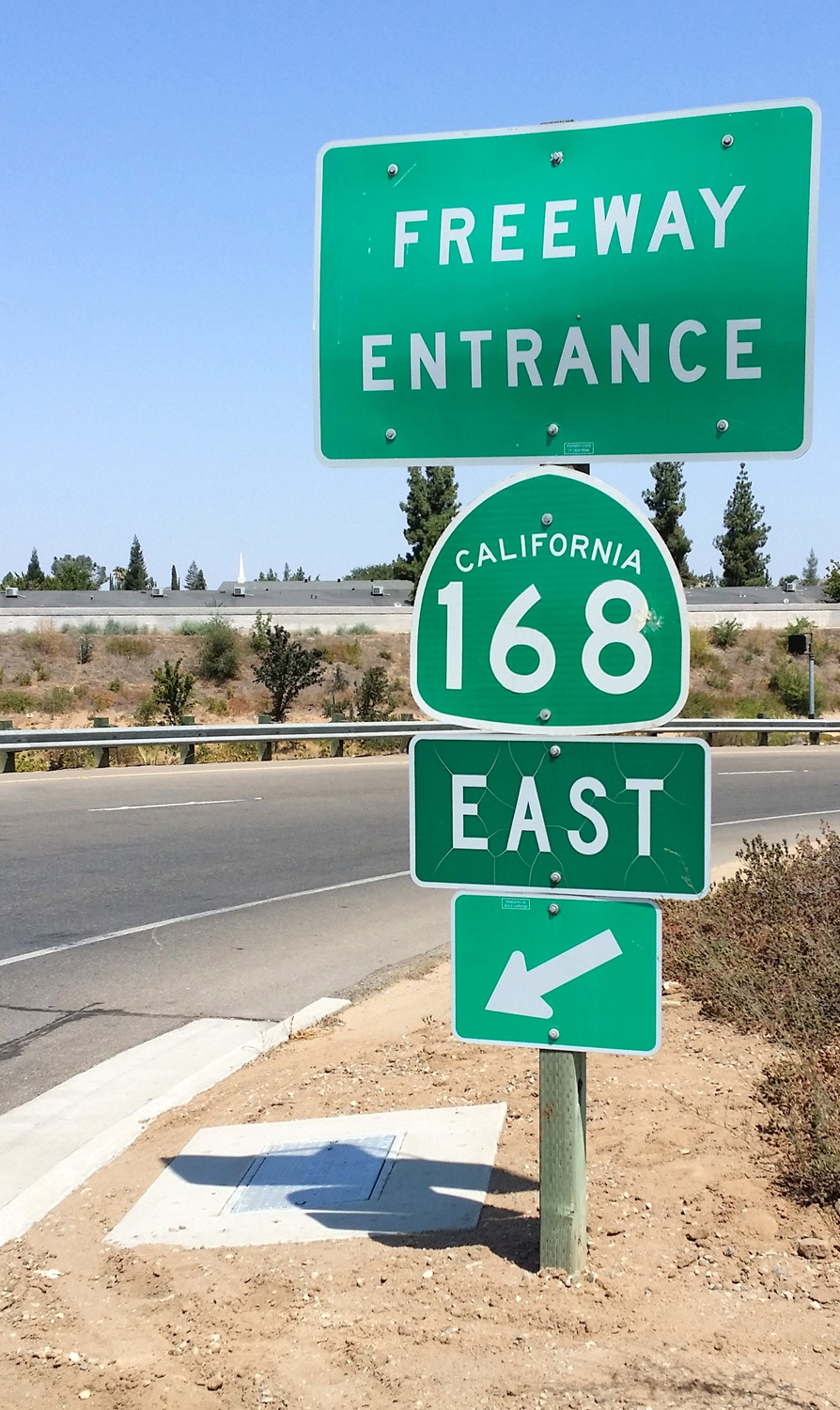
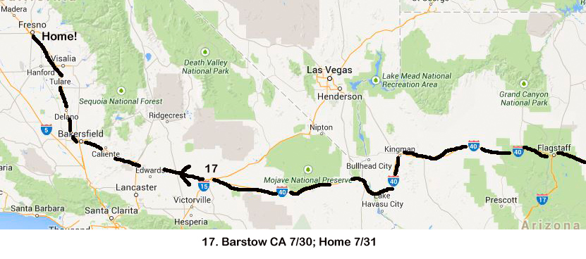
| Still another Keene landmark | Back in the San Joaquin Valley- a giant fruit stand | The last highway on my trip | |
 |
 |
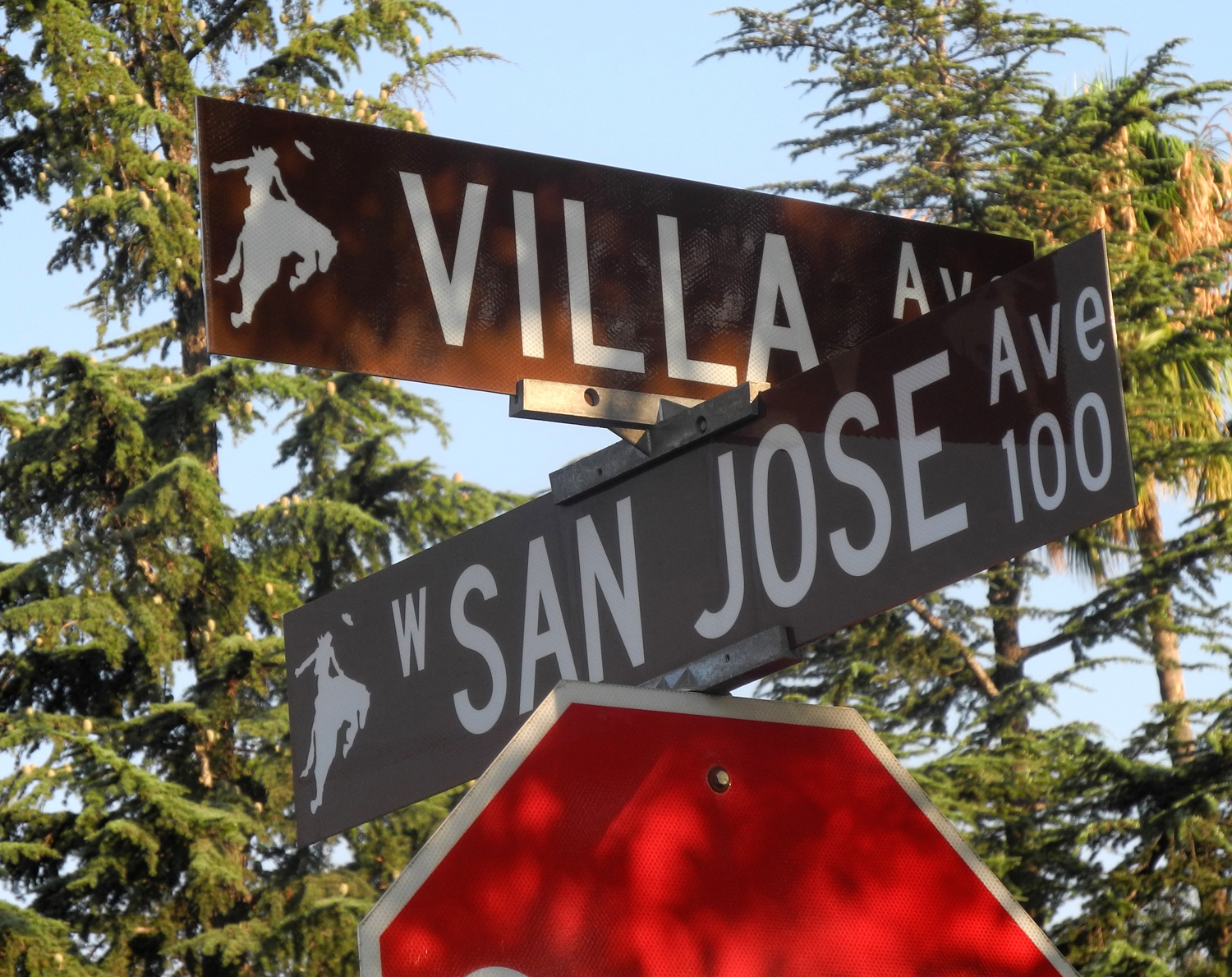
 |
|
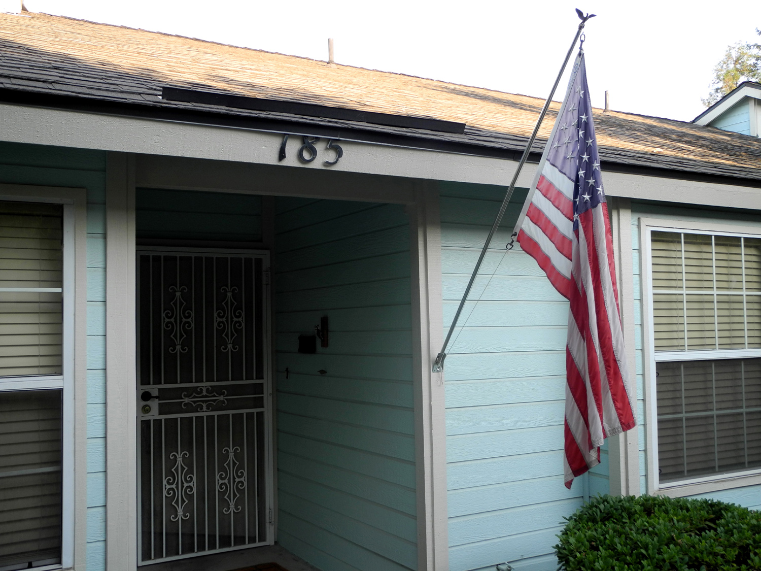
| Only a block to go | My street - a welcome sight after 40 days of traveling | Home at last! | |
 |
|||
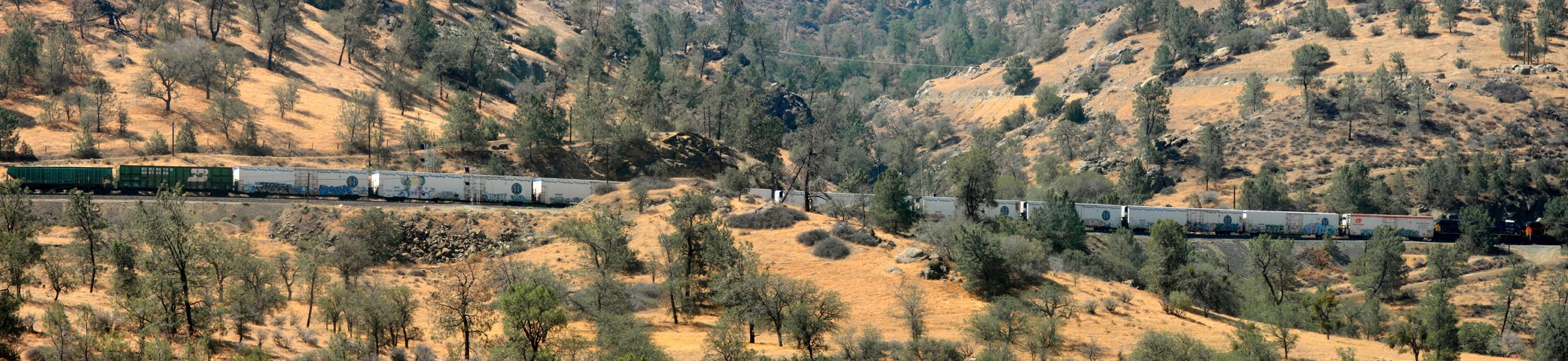
| Two engines at the front and two at the rear move this train up the Tehachapi grade | |||
 |
|
 |
|
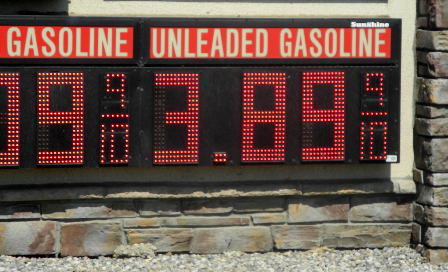
| Gas in Missouri... | ...and in Oklahoma... | ...and back in California | |
| Maps | |||
 |
 |
 |
|
| Eastbound: June Lake & Great Basin National Park | Dinosaur National Monument | Areas visited in eastern Dinosaur National Monument | |
 |
 |
 |
|
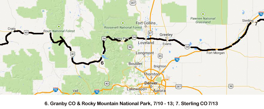
| Rocky Mountain National Park | Overnight Stops | Visiting Jim in Missouri and June in Indiana | |
 |
 |
 |
|
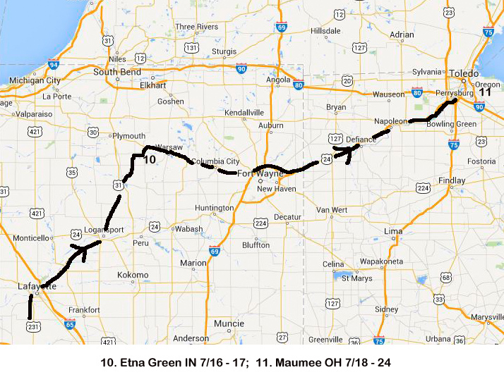
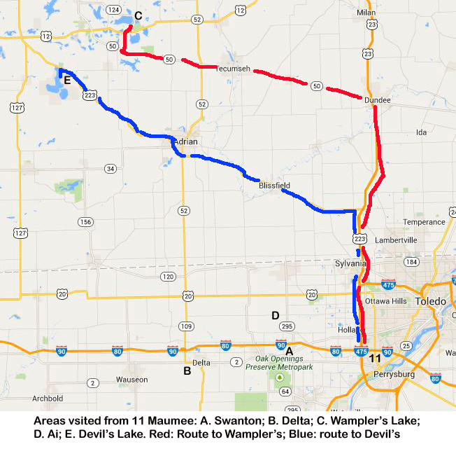
| Travel from Indiana to Maumee OH | Areas visited from Maumee | Westbound: Overnight stops; Hall family in Missouri | |
 |
 |
 |
|
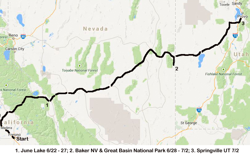
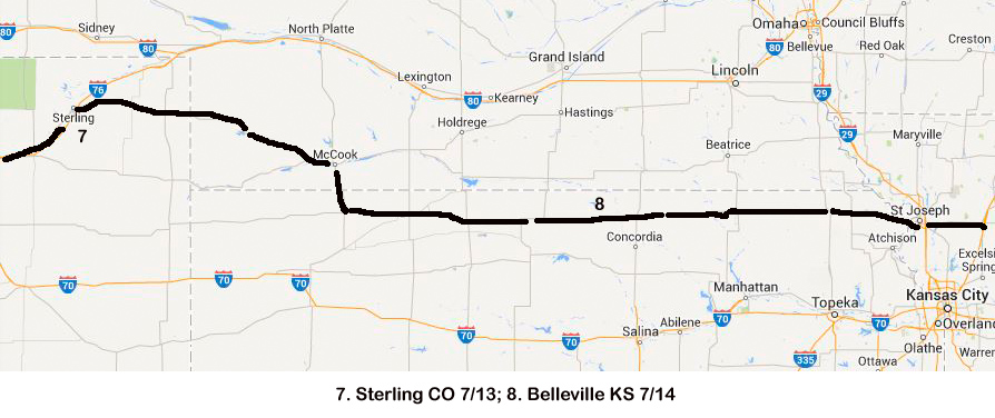
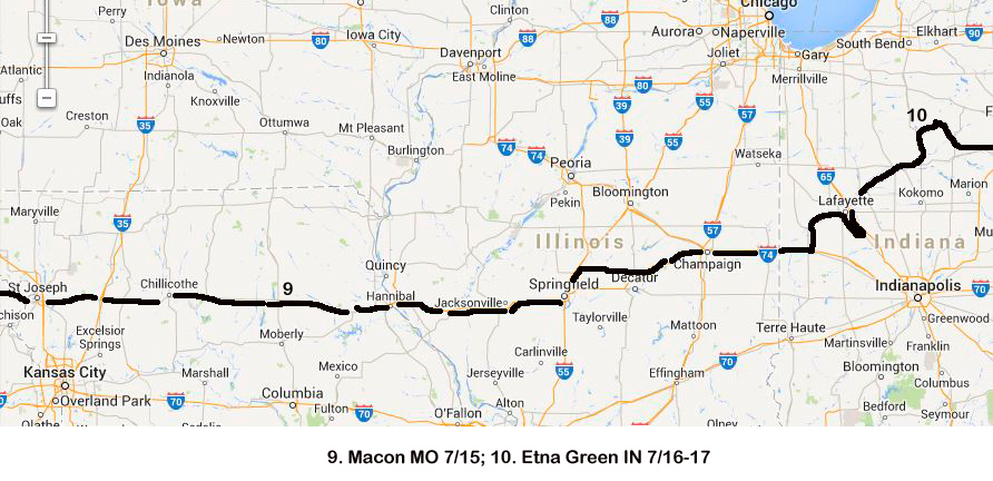
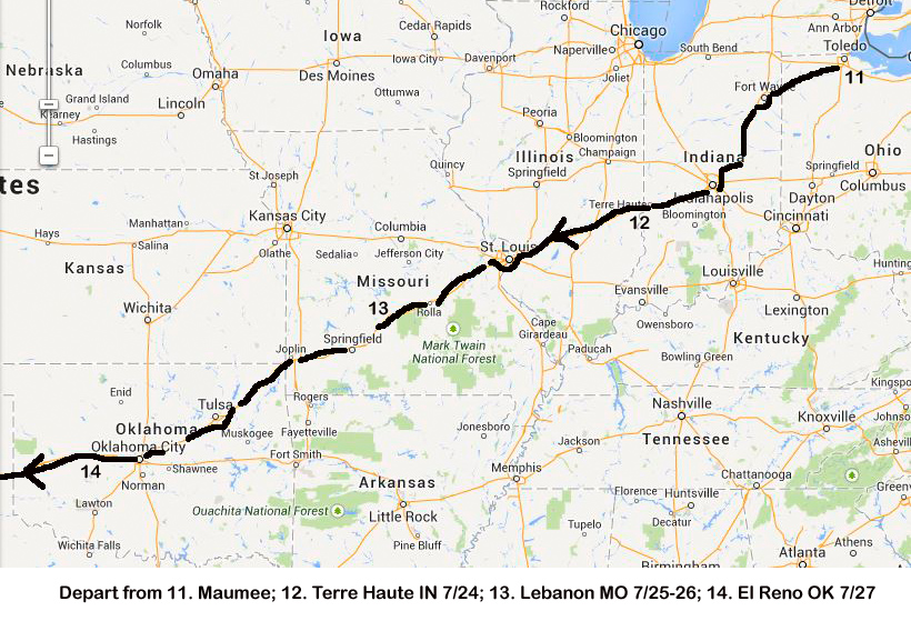
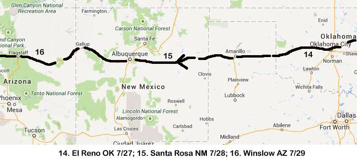
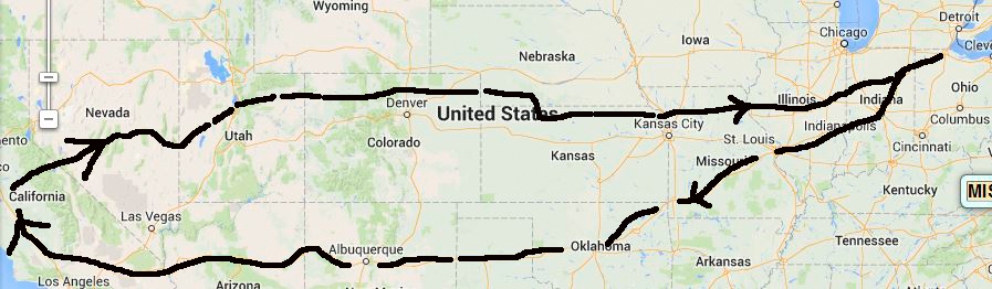
| Overnight stops | Last night and arrival home | Overview of approximate route | |
 |
|||
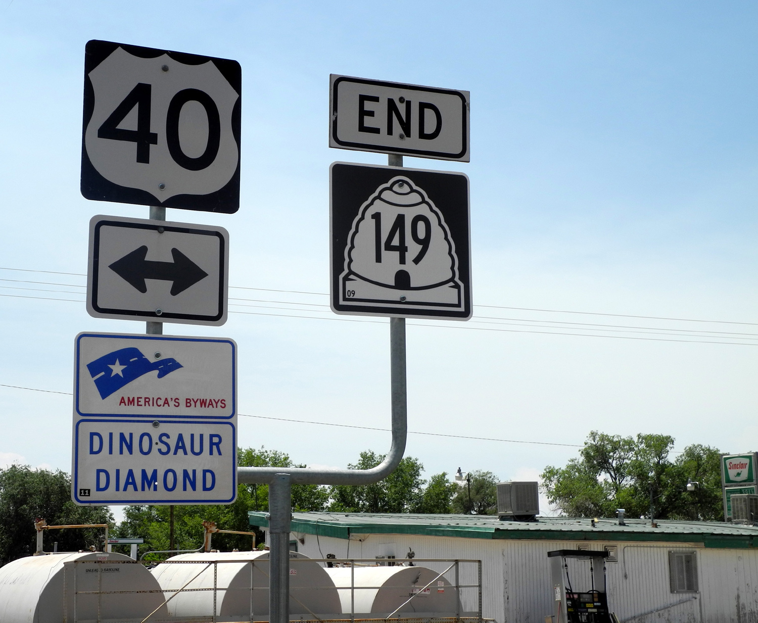
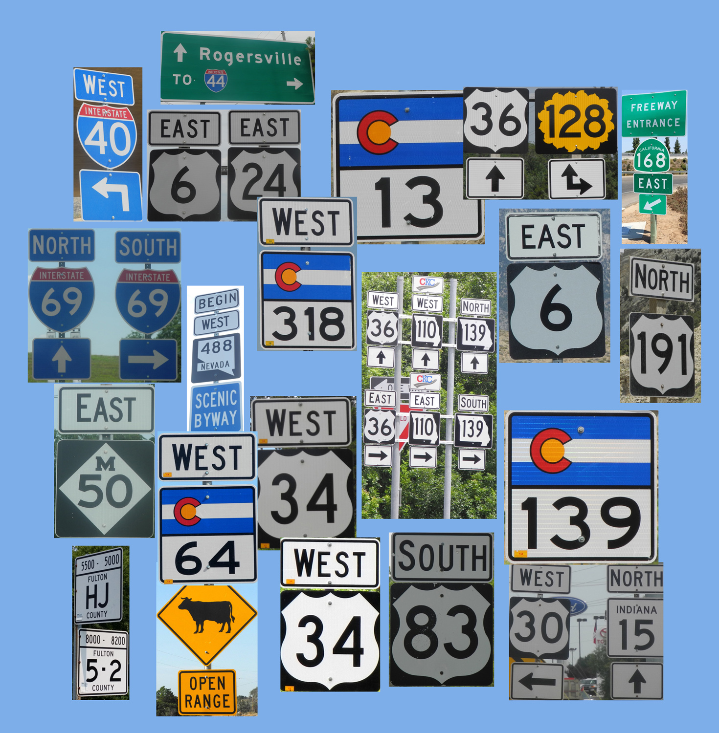
| Signs along the road | |||
| To read the text for the Journey of 2014, click here. | |||