
|
Dick's San Joaquin Gorge Camping Trip |
||
|
January Campout Background and History 1982 Fire March Campout |
||
|
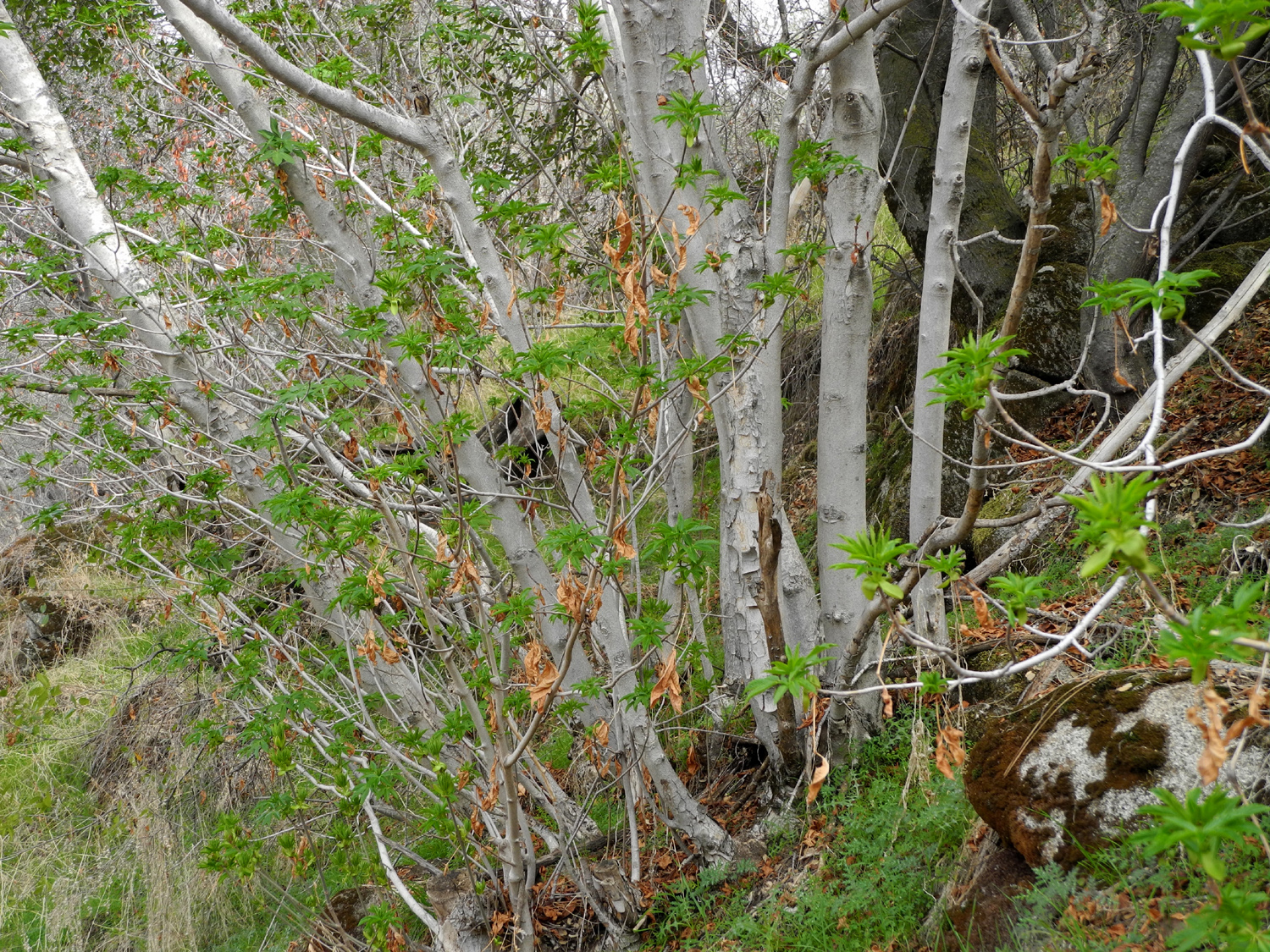
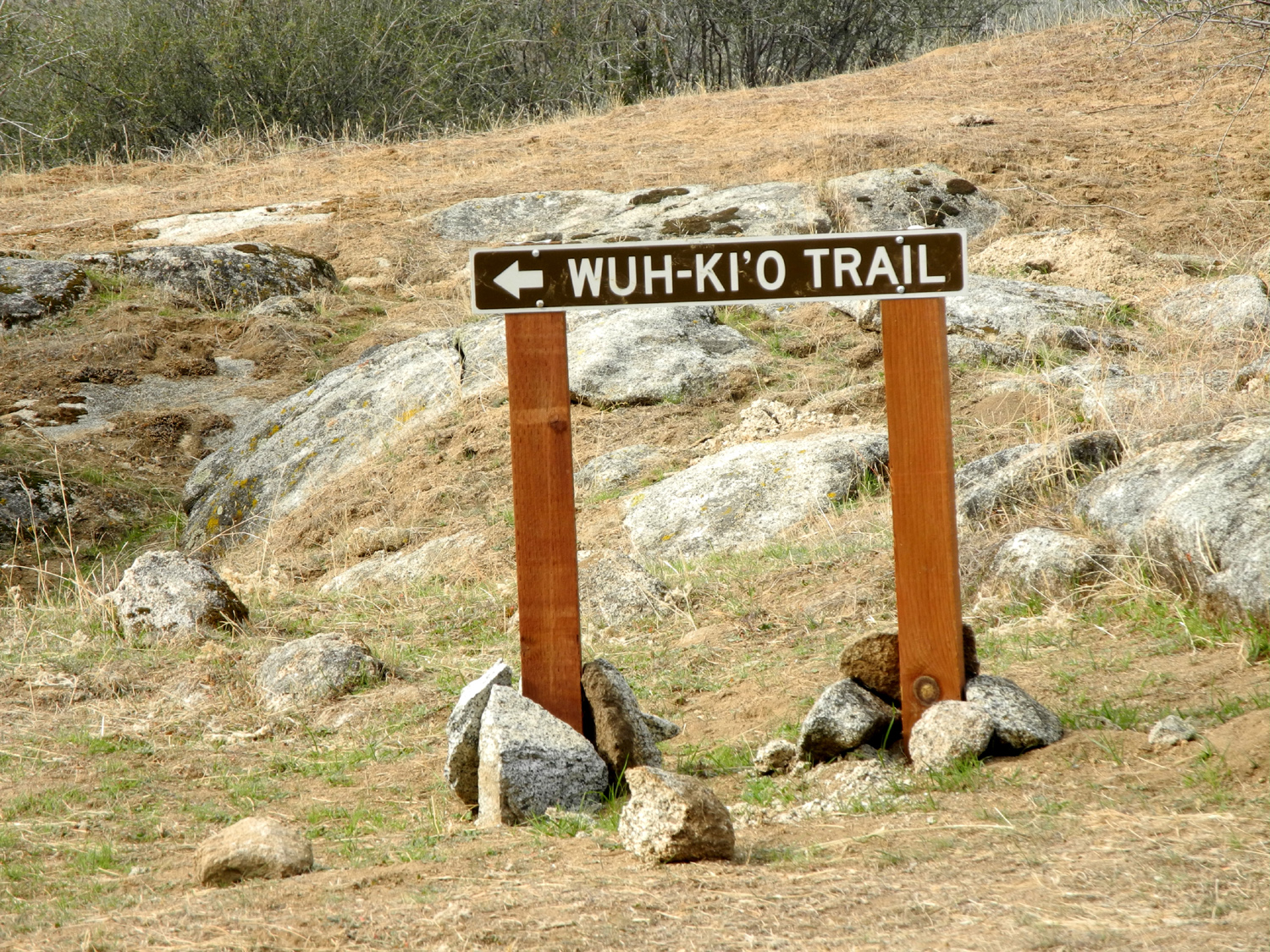
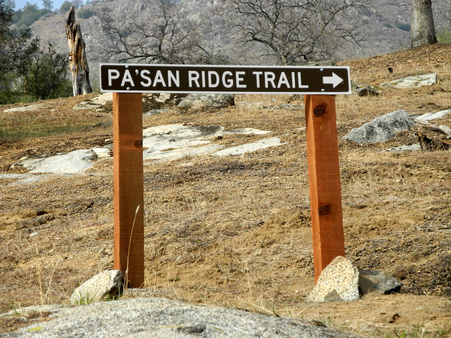
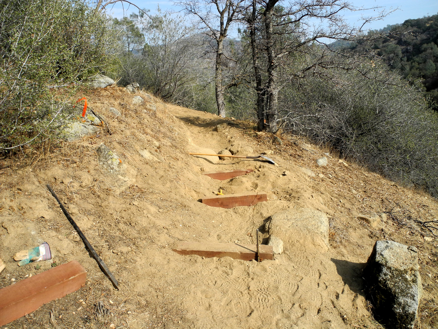
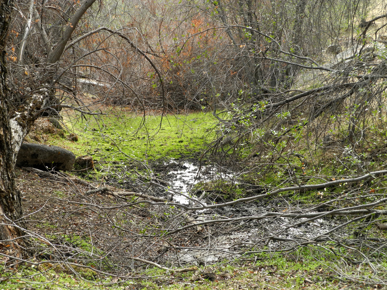
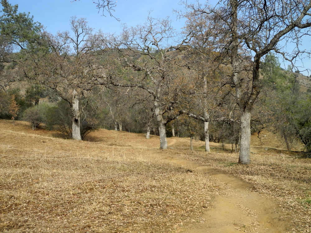
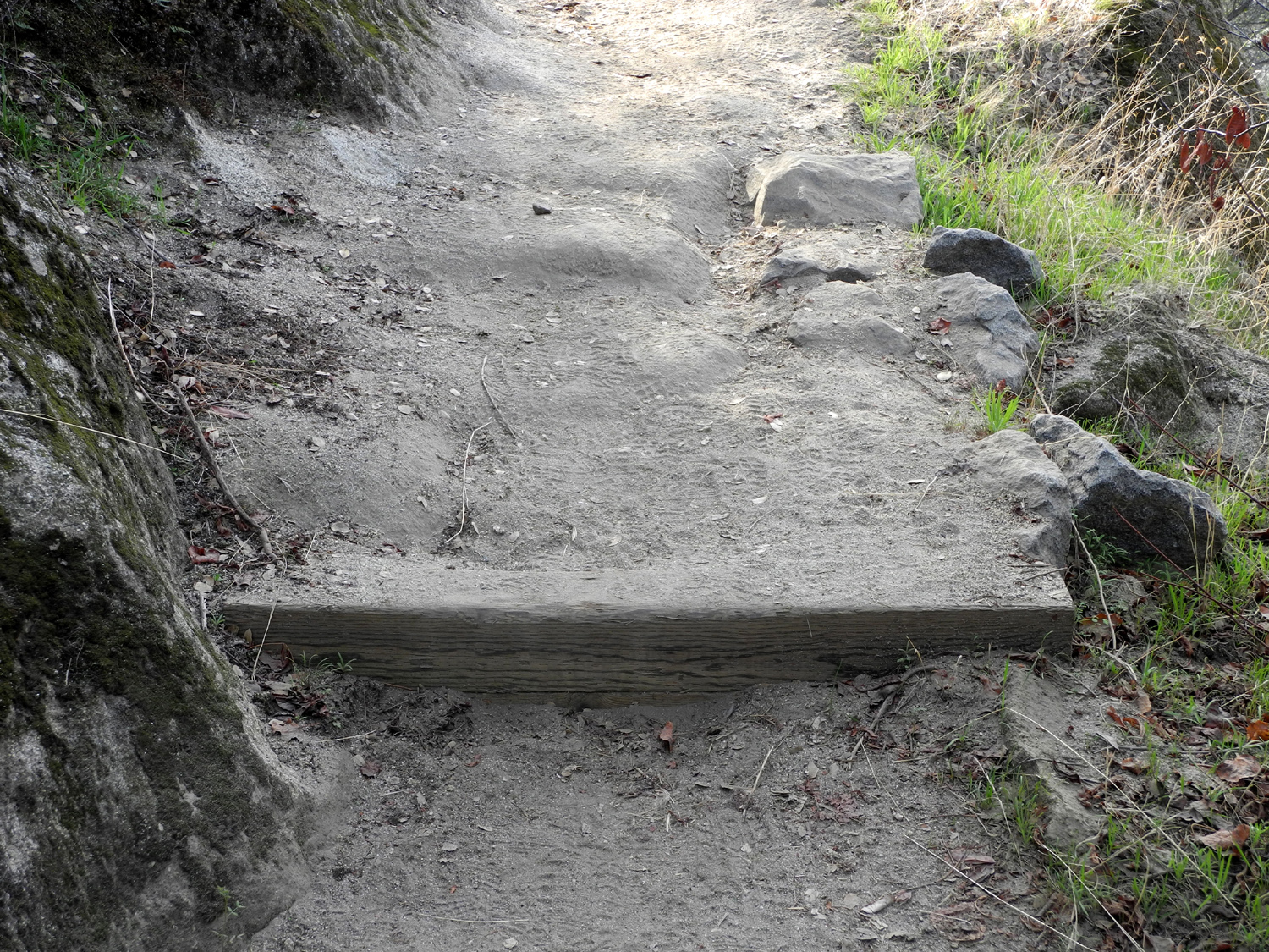
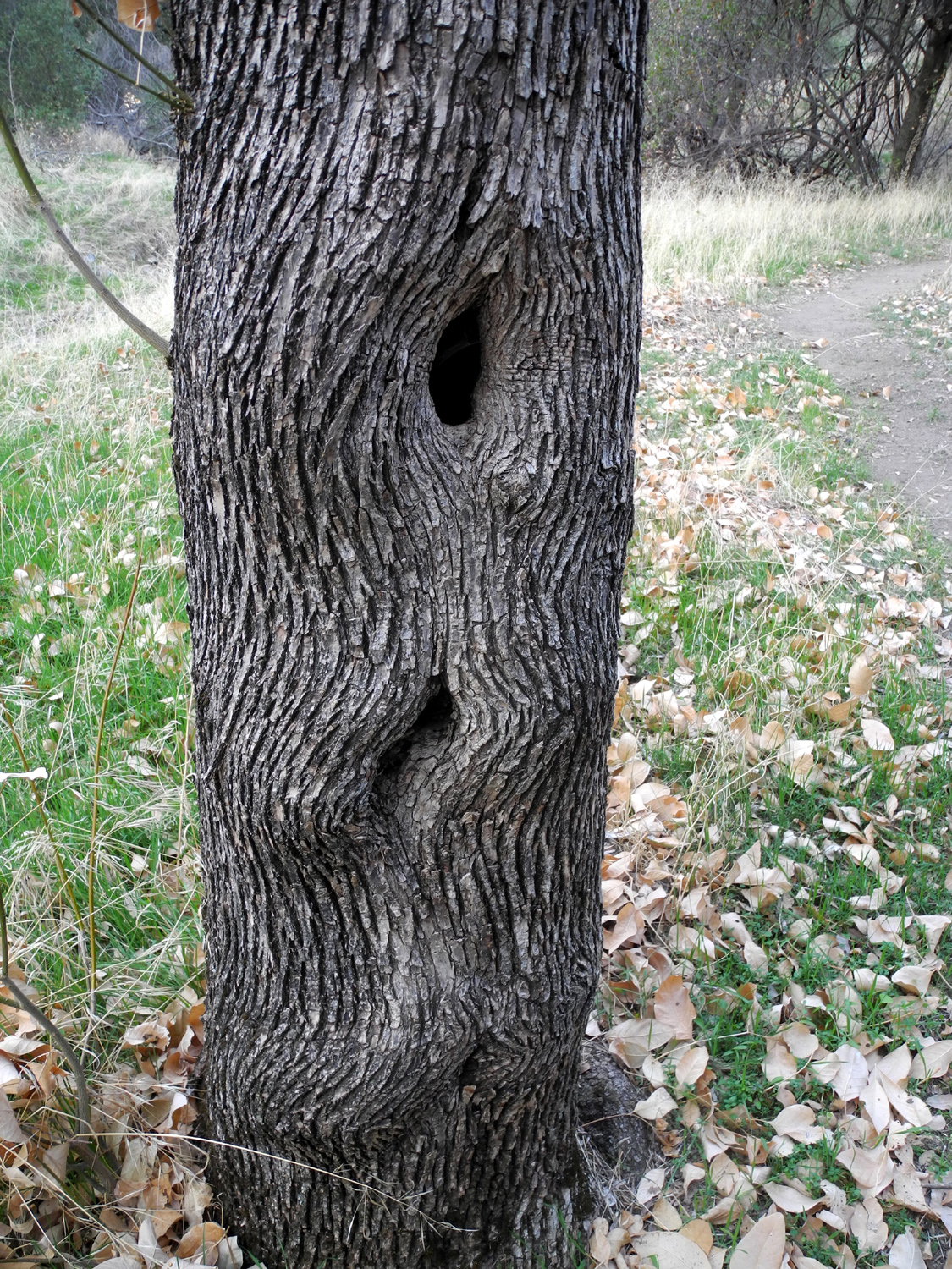
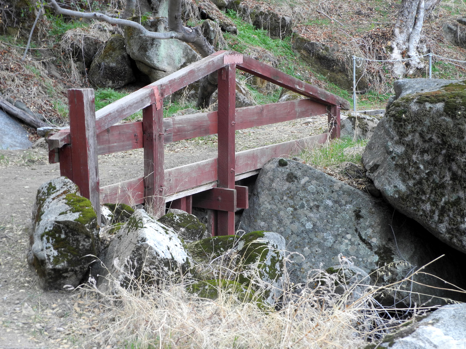
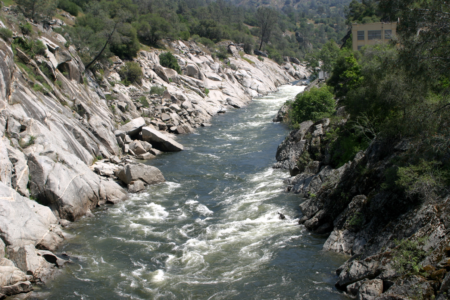
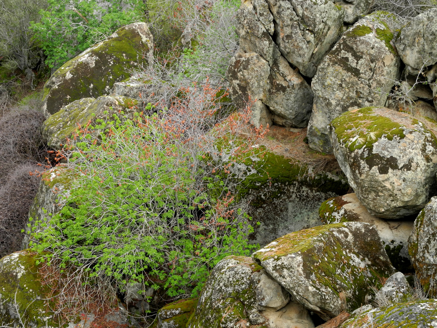
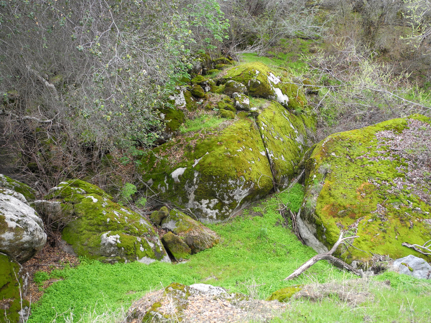
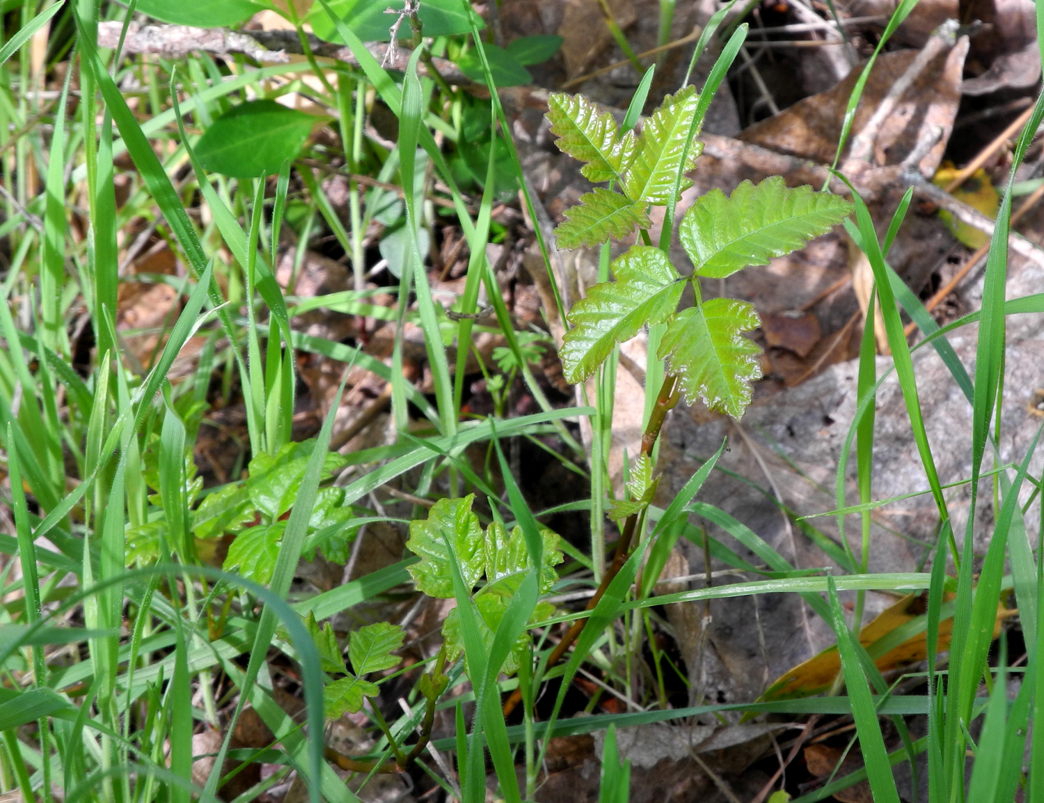
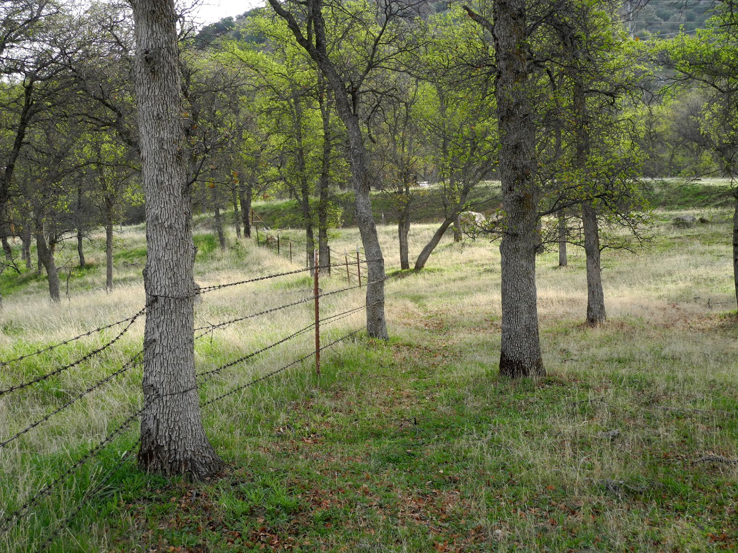
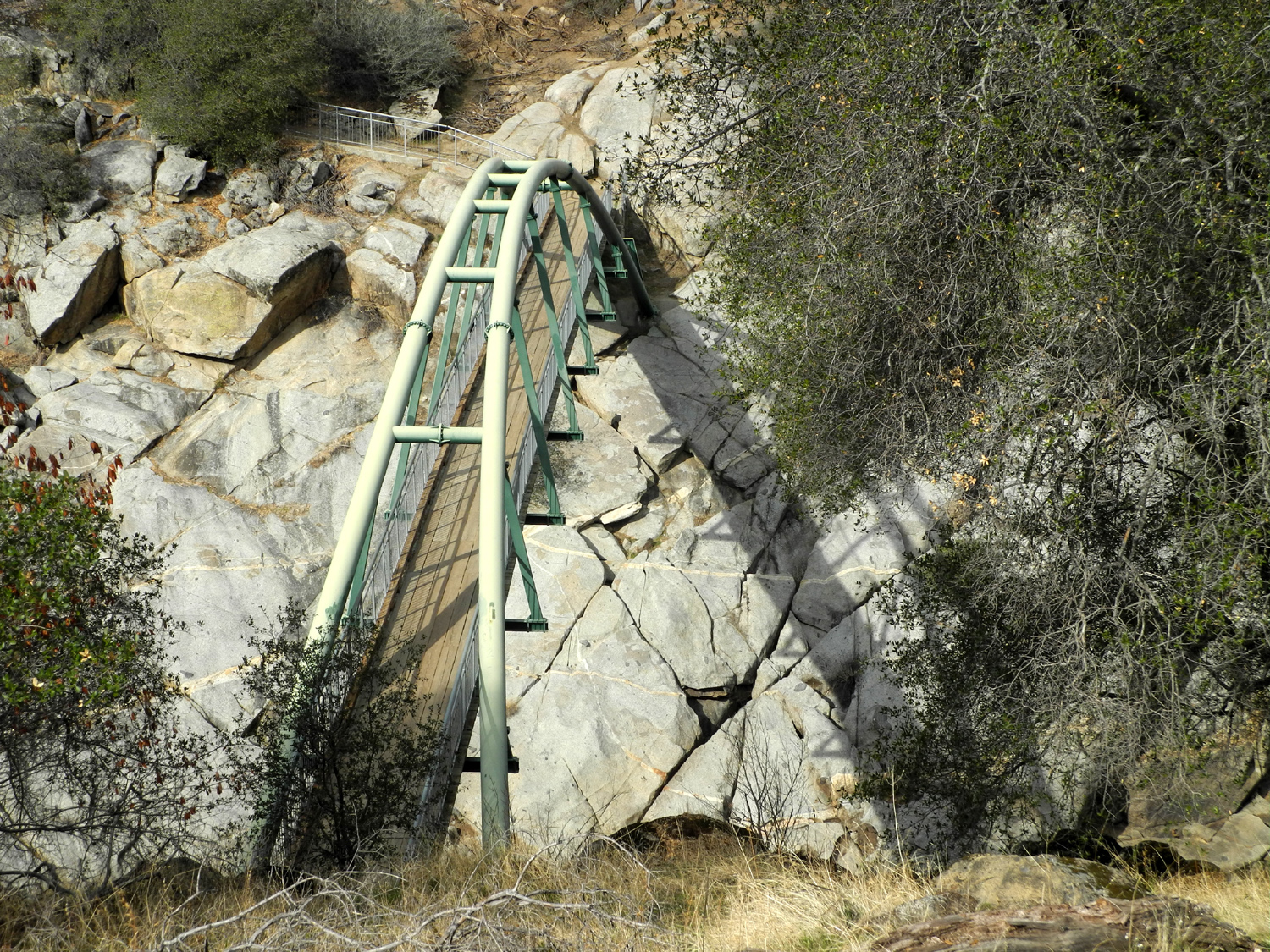
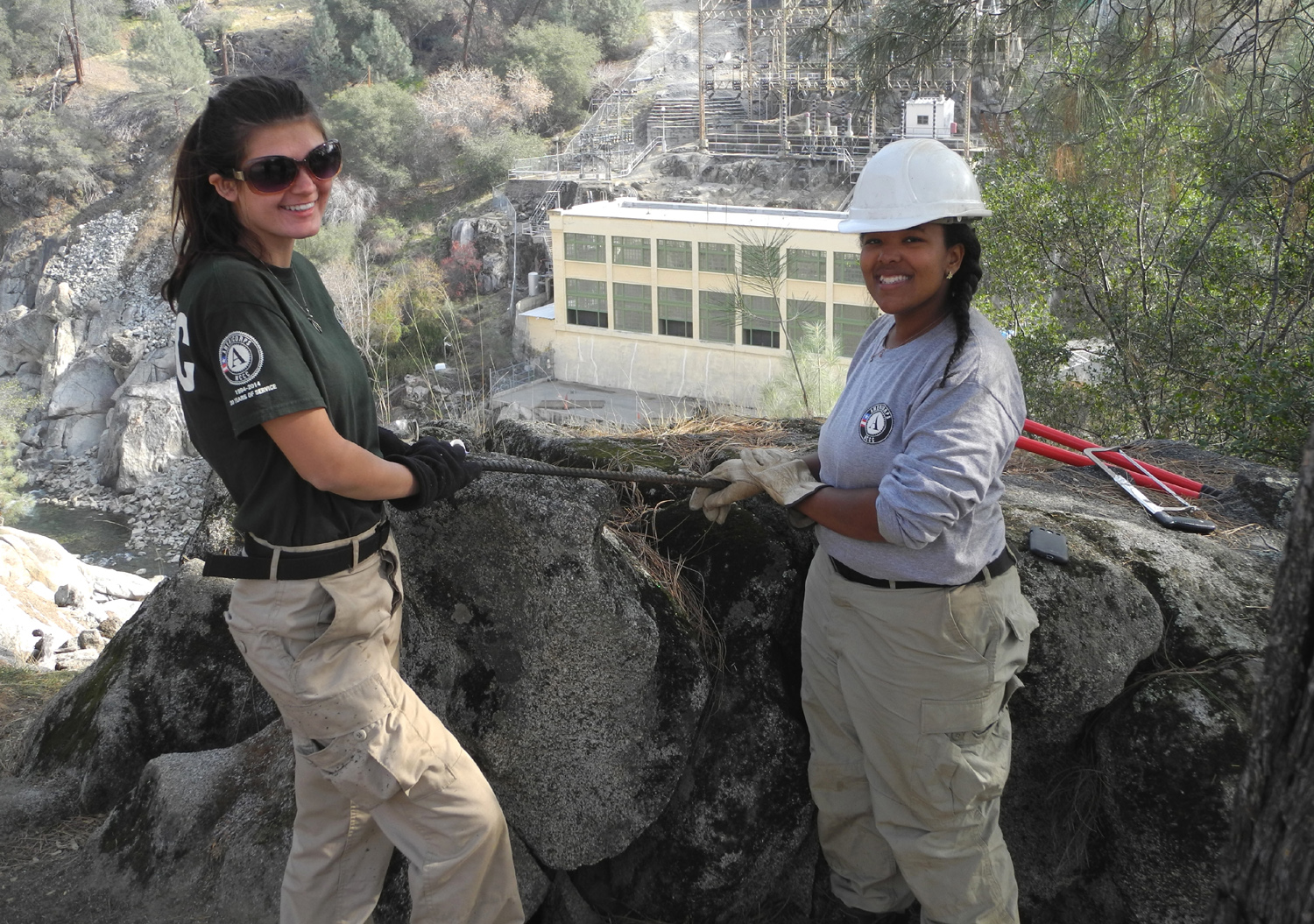
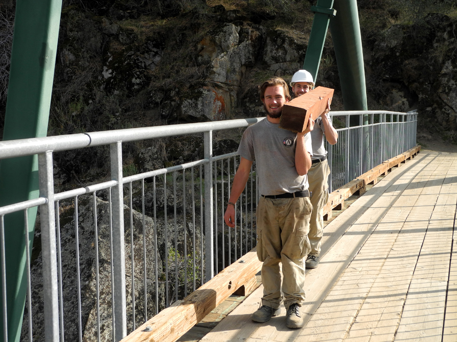
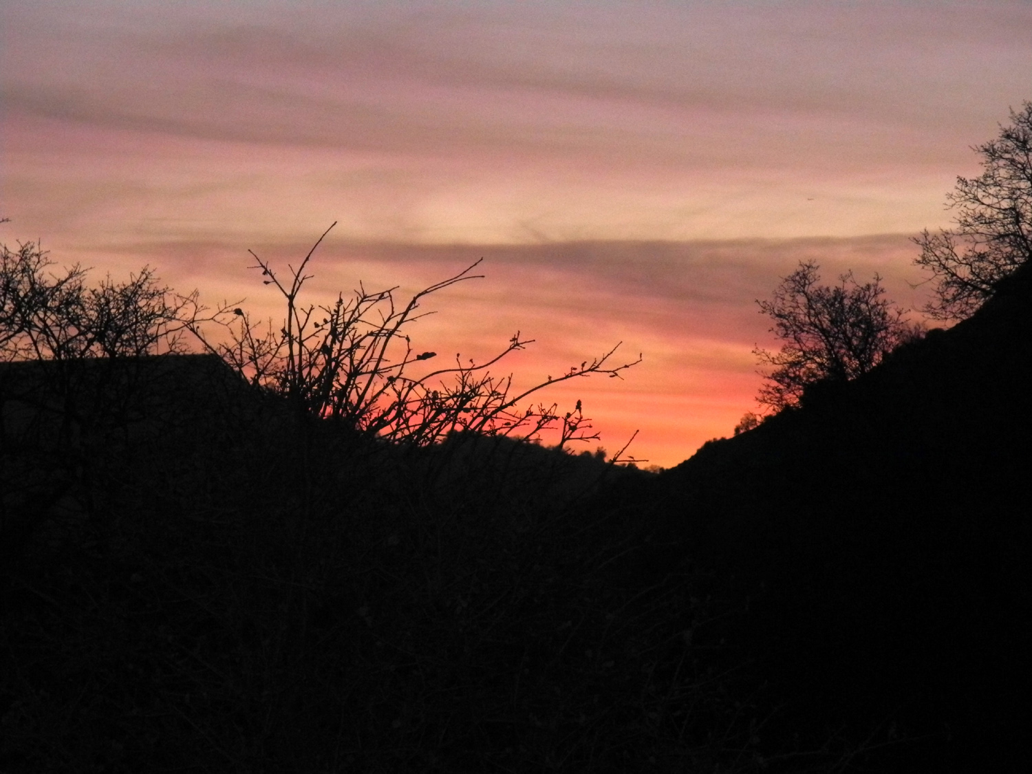
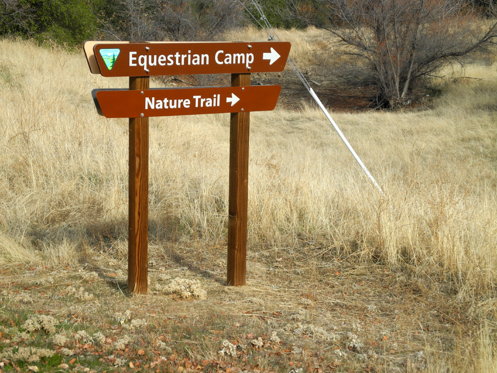
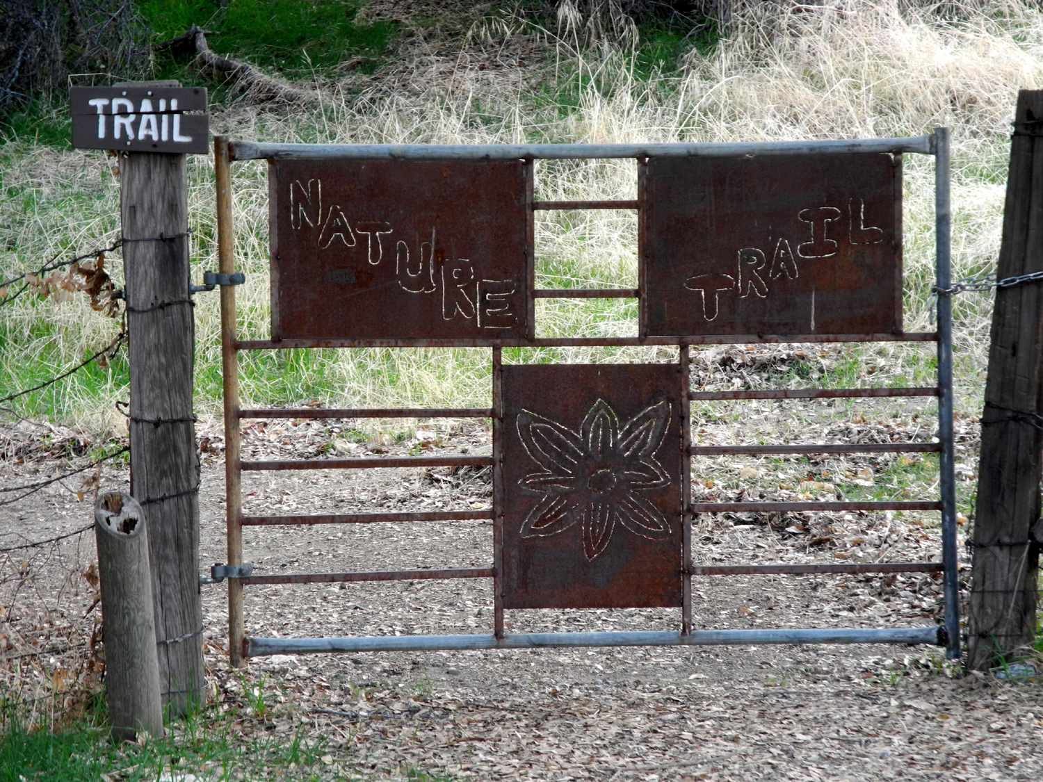
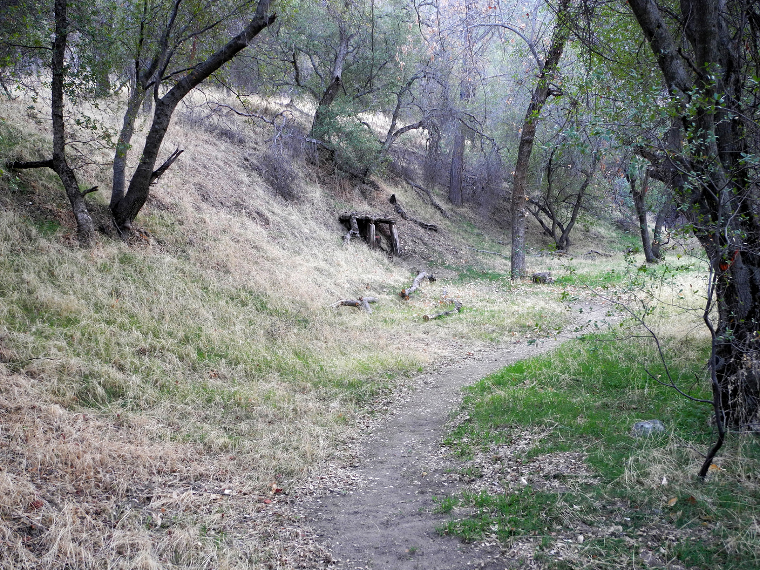
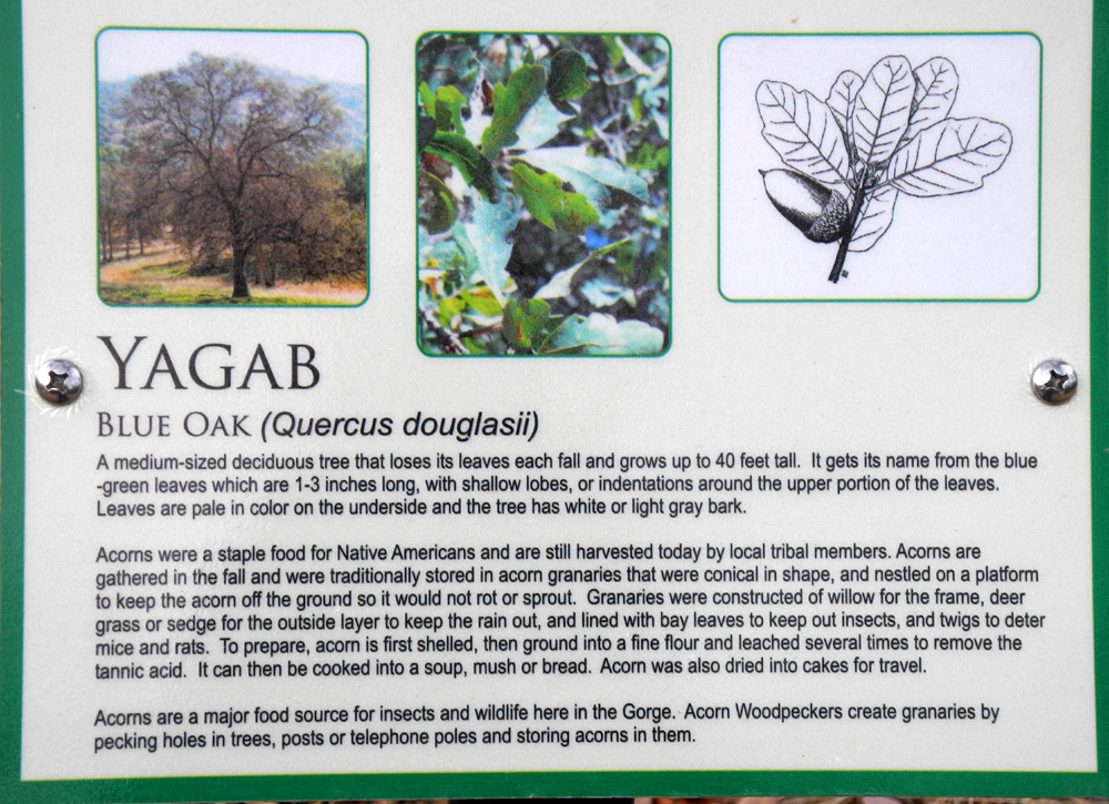
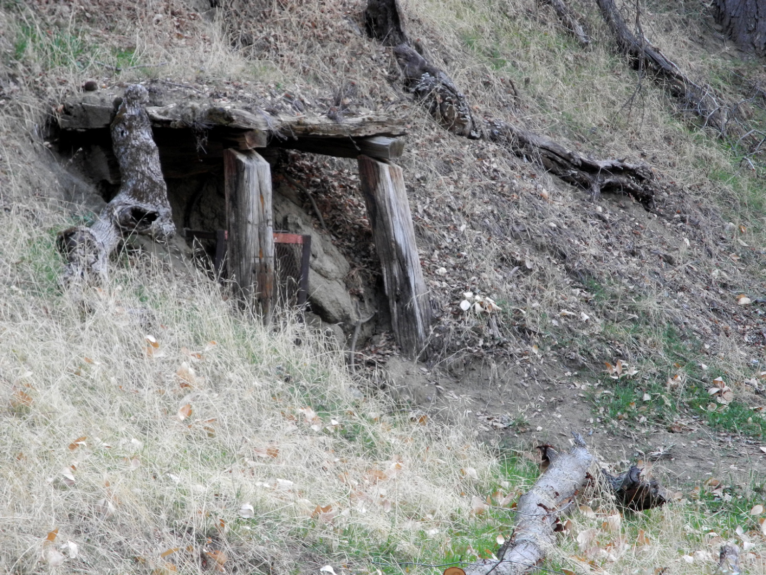
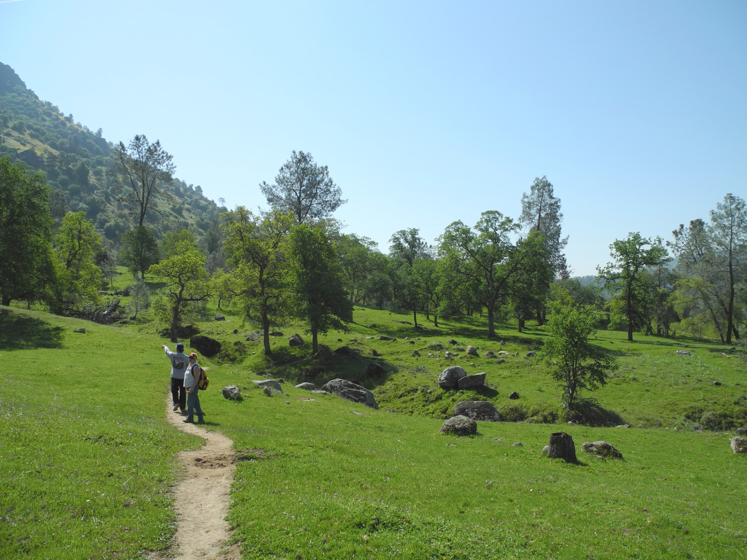
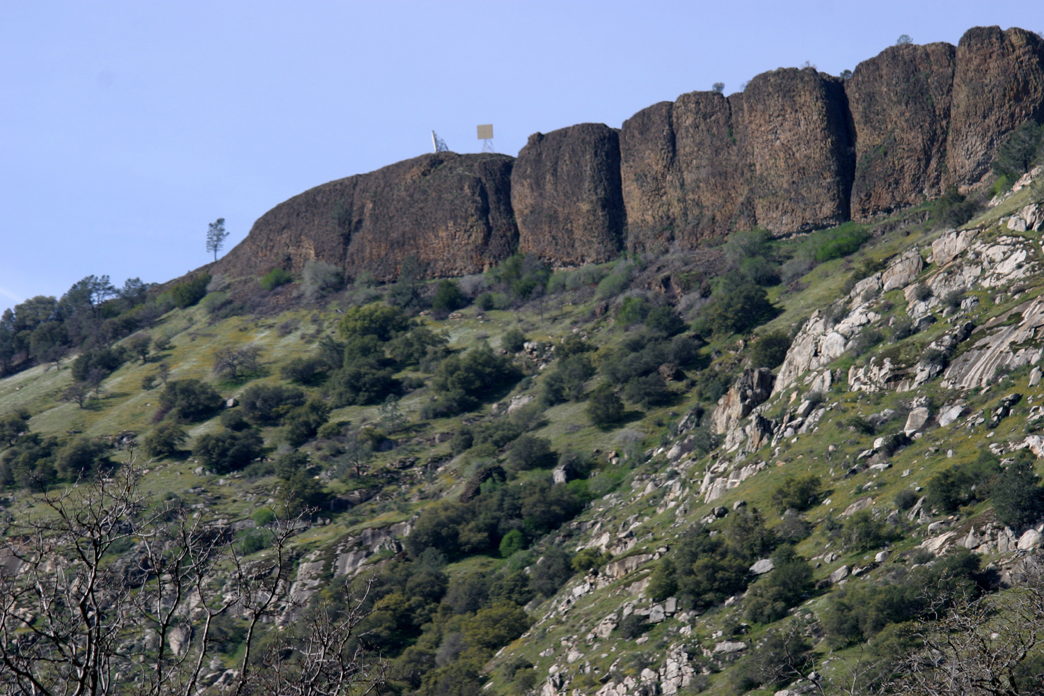
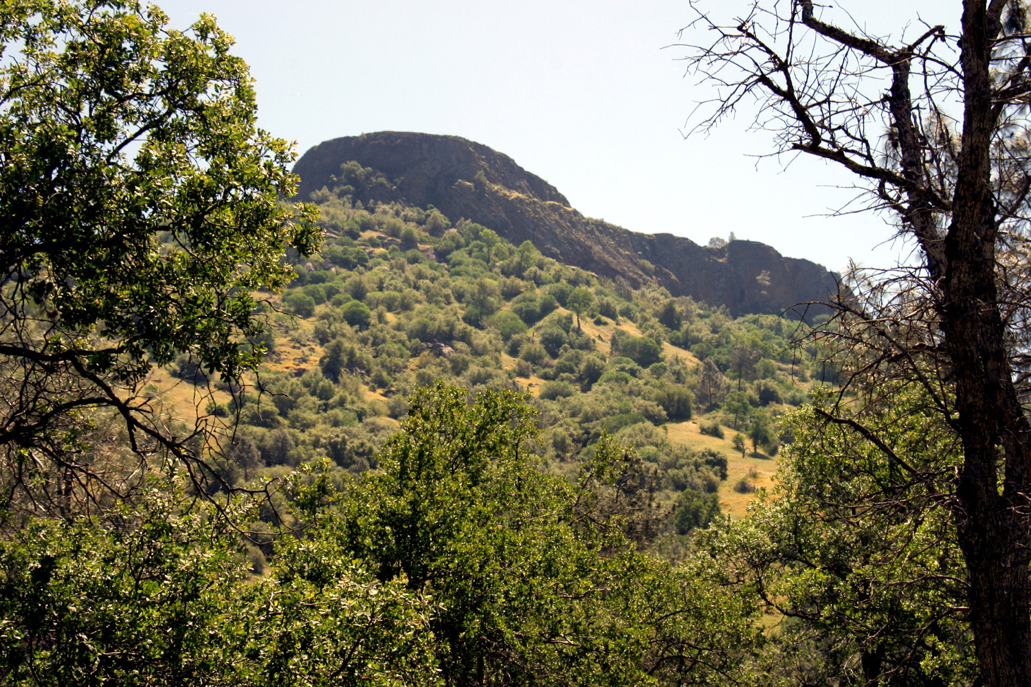
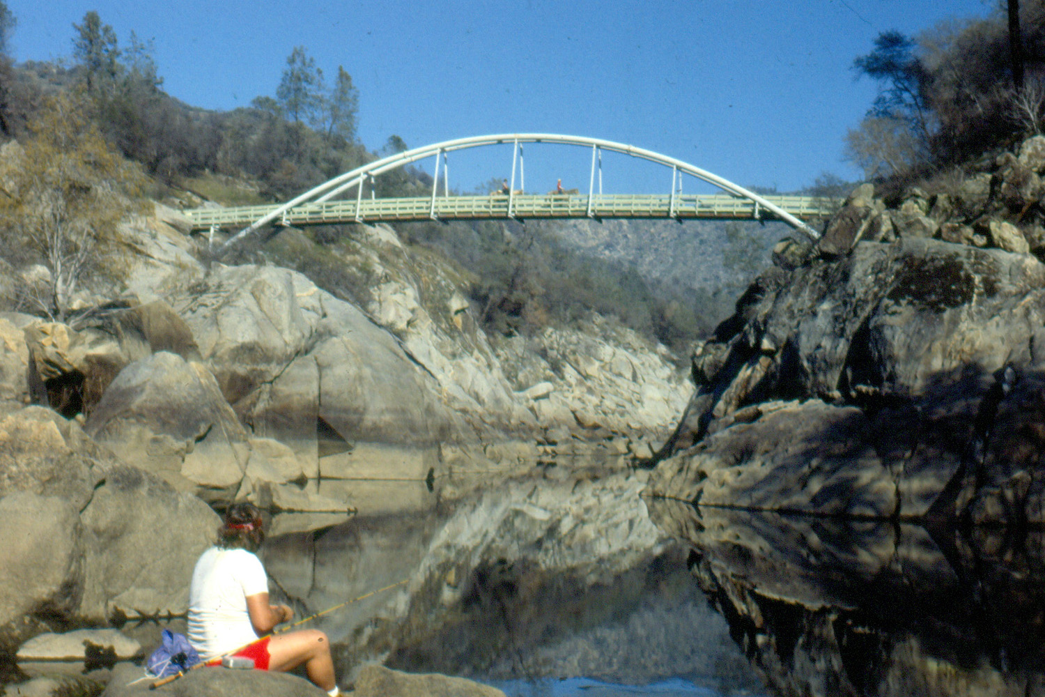
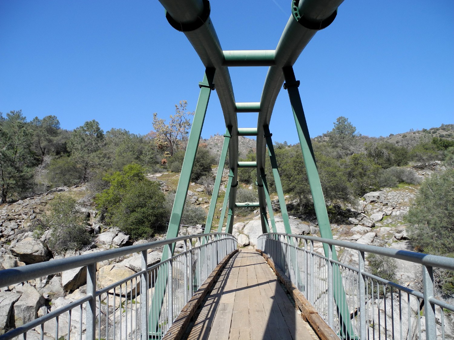
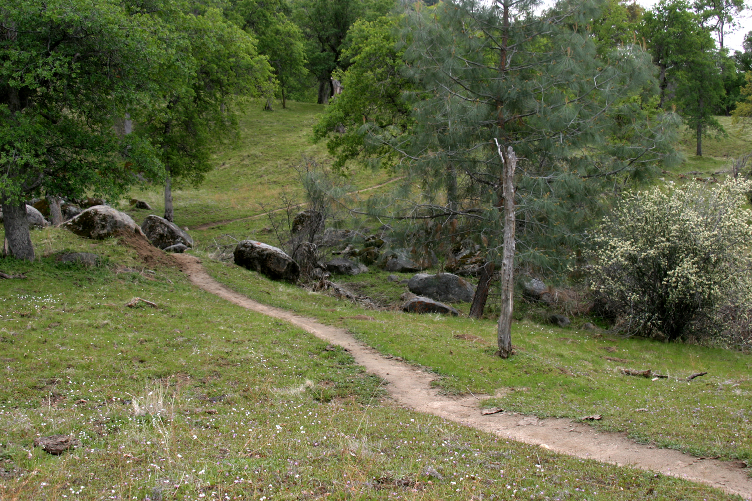
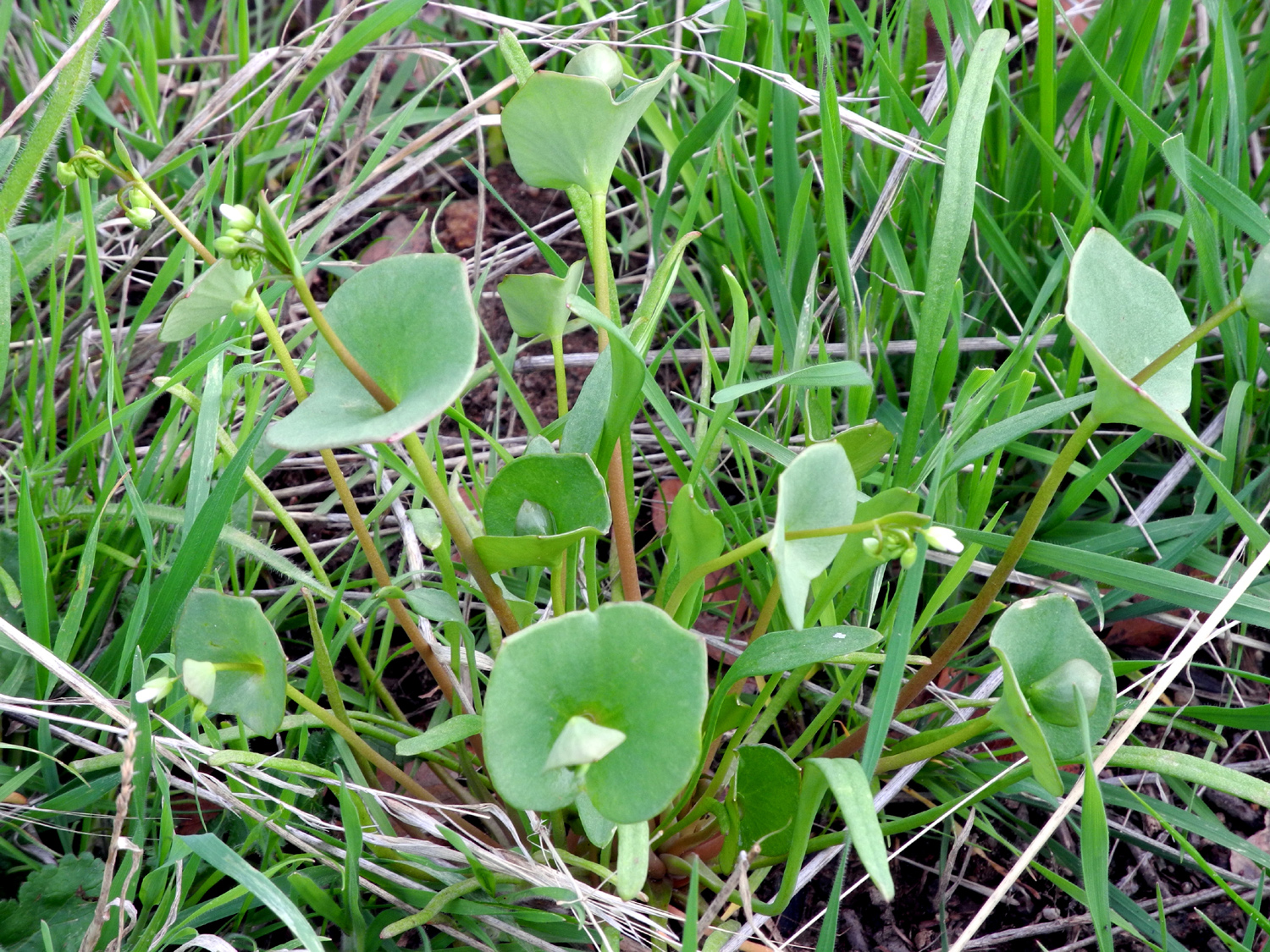
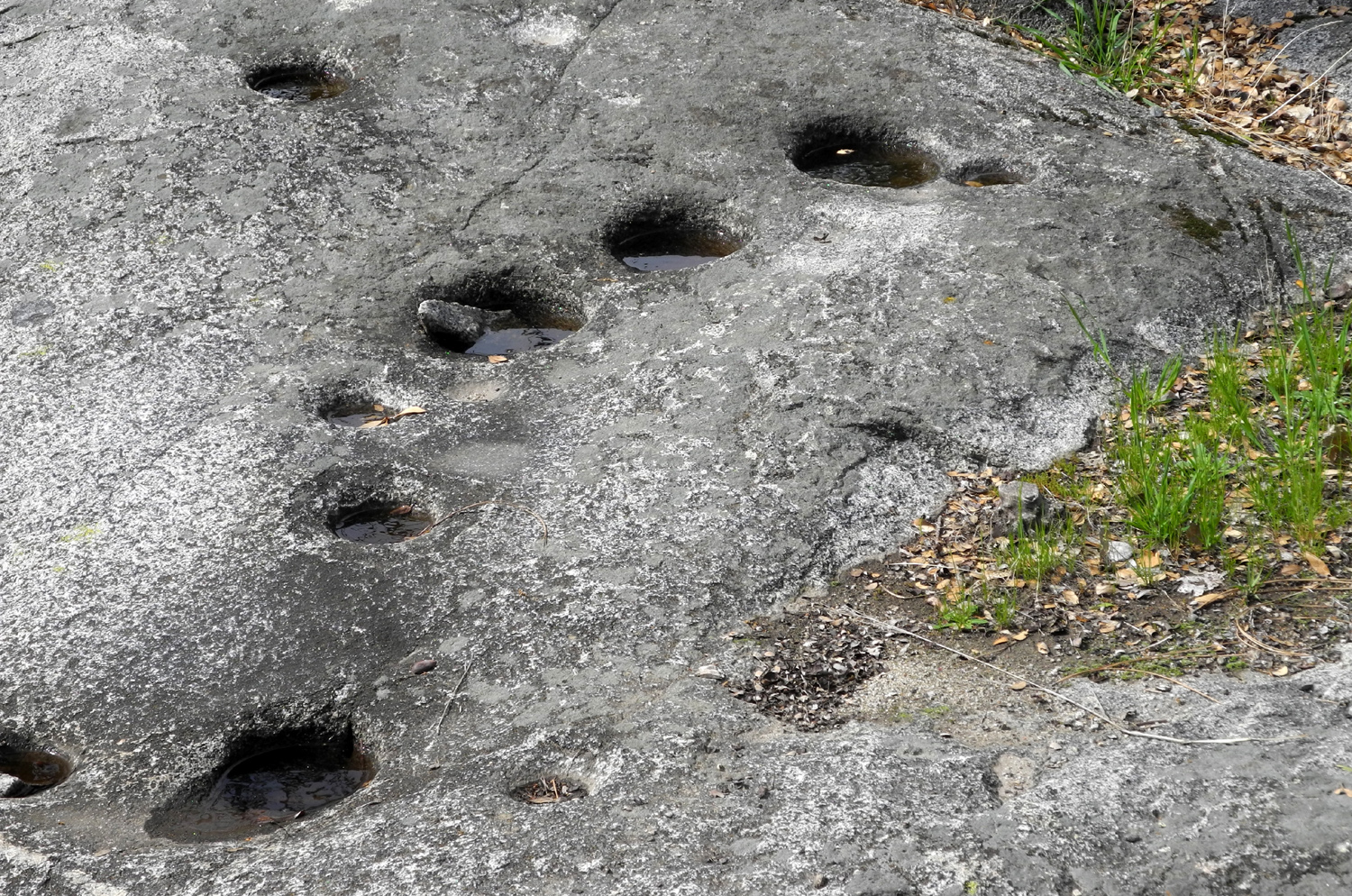
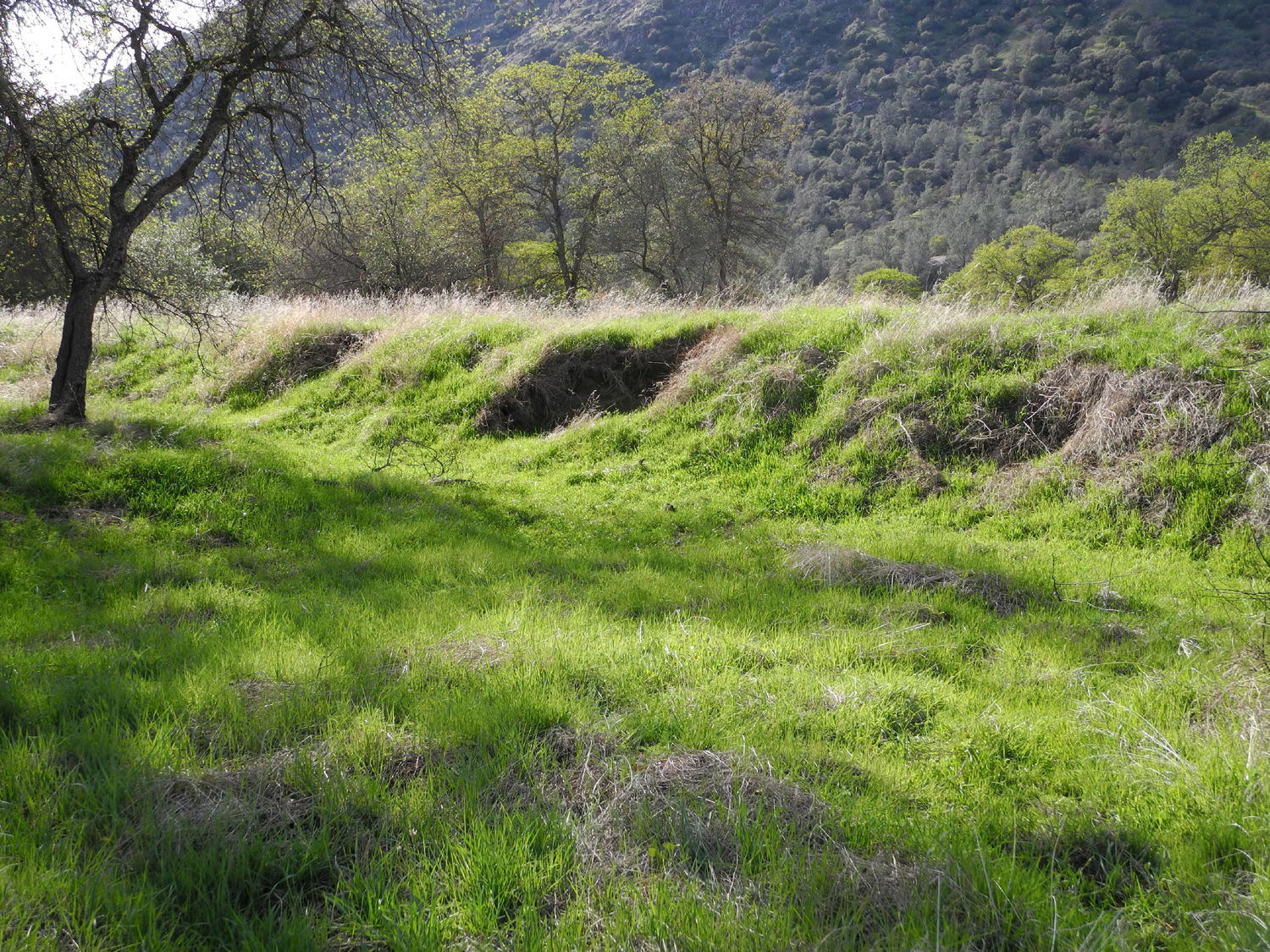
January Campout Once again my schedule had several consecutive free days, meaning it was time for the first camping trip of 2014. Normally winter camping is foothill camping, and indeed my destination was in that area. But with the very dry winter we've been having, I briefly considered heading for higher elevations. The latest hydrological survey put the Sierra snow pack at less than 15% of normal, with little if any precipitation in sight. Besides the dim outlook for water deliveries for agricultural needs in the coming year, this also means that foothill areas that are normally covered with new green grass and a few wildflowers at this time of year are mostly brown. Even so, the California hills have some kind of scenic interest at any season and in all kinds of conditions, and I enjoy walking through sections of open oak woodland, with widely spaced blue oaks, or along canyons and ravines thick with live oak and shrubs. I got started from home a little after 10 a.m. on January 28 and headed east on Auberry Road, through the town of Auberry, then a brief section of Power House Road, and down Smalley Road to the San Joaquin River Gorge Special Recreation Management Area. This Bureau of Land Management (BLM) property was previously known as Squaw Leap, and I have been going there since the late 1970s for hiking and backpacking, but this was the first time I had taken my RV there. The last few miles are quite steep and winding, and the 34-mile drive took close to an hour. The camp area is not really RV-friendly, especially the main campground next to the trailhead parking lot. Last year I had talked to one of the rangers about camping in the group camp area where there is more room, and was told it would be OK as long as it was not in use. Even this area is not ideal, since the paved parking lot has quite a slope, but I managed to get the vehicle sort of level, and decided to get in my major hike before even getting out my lawn chair. I've gone down the trail to the river many times, and walked back up a paved road which goes in to the power house, and which provides access to the main trail route by a short connecting trail, one that did not exist during the first 20 years or so that I went there. I decided to walk down via the road, which is very steep, and seemed worse than the trail for walking down, since the trail zig zags down the side of the river canyon. Although the trail is all downhill (or uphill), there are very few really steep sections. The trail crosses the river on a footbridge that was built in the 1970s, shortly before I made my first hike down there. It's a fairly amazing bit of engineering, and a look at the bridge and the steep gorge below inspires admiration for the people who built it. I had eaten a smaller than usual breakfast, so just past the bridge I found a fairly comfortable rock, and sat for a while, eating an apple and drinking water. While there I observed that the river is lower than I've ever seen it, and recalled the raging torrent that it presented the first time I crossed the bridge. I've never seen the water as high as it was that year, but part of the reason is that water is diverted to a newer power house that was built downstream during the 1980s. A short distance past the bridge the trail forks. The Wuh-Ki'O, or River Trail goes west, and after a mile or so, forks again, one fork going down toward the river and to the upper end of Millerton Lake, while the other continues up the ridge to the north, connecting with the Ridge Trail, now identified as Pa'San Ridge (pine tree). All the location and trail signs in the area are in the language of the Dumna or Ketchayi bands of the Yokuts tribe. I hiked the ridge trail in 1980, but have not been on it since, although I've gone the other direction many times, so I took the right fork toward the ridge. Even before the fork I came across a crew doing trail maintenance, and met several of them at various points along the trail. They are in the Americorps program, and will be working at the San Joaquin Gorge for about a month. They were installing some new water bars and steps, using 4X4 beams six feet long. In talking with them, and later by observation, I realized that they were carrying these timbers in by hand from the road just above the power house, down a very steep section of trail, and then up the north side to wherever they were needed. The trail is very pleasant to walk on, going through an area that is more like a woods than the open terrain of the other trail. Although it eventually goes up quite a ways above the river, the part I walked had plenty of up and down, with nothing very steep. Although it's mostly very dry, I did pass a spring where water runs down into a muddy watering hole that the cows have obviously been taking advantage of. I also found quite a bit of green grass, always in small, shaded patches. The new grass is very short, almost hidden by the old dry grass, and will need a few good rainstorms to get it growing normally. (As it turned out, we had a series of significant storms starting the next day and continuing into the first week of February.) I knew when I started I was not going to hike the entire ridge trail, so I probably walked about a mile past the bridge before turning back. The walk back to the bridge was fine, but the hike up from the river to the trailhead was a little rough for me. I think the problem was going down that very steep road, which in retrospect was hard on the legs and more work than walking down the more gradual trail. By the time I got back to the motor home I was done with physical activity for the day, except for short walks around the immediate area. After resting a while I heated up the leftover pizza I had brought and had my dinner or supper or whatever you call it at 3:30 in the afternoon. I walked around the immediate area, where there are several unofficial trails, including one that goes from the group camp area to the river trail, bypassing the main campground. This is a well worn trail, which I suspect is kept maintained by people riding horses on it from the equestrian camp. For the rest of the day, as long as it was light, I sat outside reading. At 5:30 it was too dark to read, but I walked around some more till it got almost completely dark, and got a couple of good sunset photos. By 6 p.m. it was dark enough to see Orion and many other stars clearly. Once I went inside for the night I read some more, watched TV, had a chocolate ice cream soda for my final snack of the day, and got to bed around the usual time, about 10:30. The next morning I was ready to hike again. At home I always take my walk before eating, so as soon as I got up and dressed, I took my camera and some water, and walked to the equestrian camp a few hundred feet a way. Here I had noticed a sign reading "Nature Trail," and after going through a gate, I found myself on a very nice trail that winds up and across a ravine and back down. Along the way are a number of signs explaining the trees and shrubs that are common in the area. I thought this set of signs were better designed than those at most such trails, so I took photos of every sign and most of the plants described. For those who are interested I have created a separate San Joaquin Gorge photo album page. Along the trail I got the answer to one question that had plagued me for at least five minutes the day before. On the bulletin board list of rules, it said not to remain more than 30 minutes within a certain distance of a wildlife guzzler. This struck fear into me, because if I didn't know what one was, how could I be certain I would not violate this rule? However, a trail sign explained that it is a device to catch and store rainwater for the convenience of animals, and one was on display about 10 feet off the trail. Even with the very dry stretch we've had the last few months, it had a little water in it. Another question arose as I walked the trail. Not far from the beginning is a structure built into the bank of the ravine that looks just like the opening of a mine shaft, but much smaller. I asked about it at the visitor center, and they do not know what it was for. The shaft goes in about 15 feet, and is not big enough for a young child to stand up in. Speculation is that it might have been for storage, although there is no evidence of a house having been located in the area. The trail has multiple loops, so it's not just a matter of going around and you're done. To see everything, I had to repeat a small section of the trail to get to sections that were not part of the main loop. This was no big deal, and allowed me to notice a few things I had missed the first time. When I had finished exploring the nature trail, it was back to the motor home for breakfast, and then a bike ride to the visitor center. I had been to this area before, but never when it was open. It turned out to be well worth the time. There are some very nice displays about the area, including a number of items and old photos relating to the Native Americans who were the first to use this area. There is also a topographical map connected to an excellent video display. Pointing at various dots on the map and clicking brings up a panoramic photo of that area on a large flat screen, which also has other interactive features. On one wall is a mural size photo of the area taken from the top of Squaw Leap, the table-top mountain on the south side of the camp area which gave the location its original name. It's easy to pick out the buildings, camp area and trail junctions, as well as get a good look at other features in the several thousand acres of this property. (As of about 2020, the name of the table top was changed to San Joaquin Bluff, and the offensive word "squaw" was removed from a number of other locations in California.) When I entered I was greeted by Brenda, who is in charge of program planning for the area. She is part Indian, grew up in the area, and is very knowledgeable about the region, the native people, and all aspects of the Gorge. Some of the activities include a monthly wildflower walk, a basket weaving class, and talks by representatives of the Mono Museum in North Fork. We chatted for at least a half hour, and I look forward to a return visit. On my way back to the motor home I stopped at a native village that has been set up, although it consists only of a few cedar bark lodges. Back at camp, I rested a while, then set out to do a short walk on the San Joaquin Trail, which runs parallel to the river high on the south side, and goes all the way to Sky Harbor, about 12 miles. It turned out I was more tired from the previous day's efforts that I realized, and the walk ended up being even shorter than I had hoped. However, I have walked some distance on this trail two or three times, and will do so again. Back at the motor home again, I got everything ready to go and was on the road about 3 p.m., arriving home within an hour. Usually I take the motor home back to storage as soon as I unload, but by this time I was ready to have dinner and rest, so I postponed that task till the next day. While I have your attention, or even if don't, I'd like to offer some general information about the history and background of the San Joaquin River Gorge Special Recreation Management Area or SJRGSRMA as I will NOT refer to it. Some of this information has been included in previous travel reports, but I will attempt to consolidate and expand that information here. I first heard of this area, then known as Squaw Leap, in the late 1970s, when I read an article in The Fresno Bee about the construction of a new bridge across the river. I have not been able to find anything about the bridge construction on the Internet, but I did see a reference to an earlier bridge, which was washed out by a flood during the 1950s. A short time after reading the article, I made my first visit to the area, and hiked down to the river, but didn't go beyond the bridge. At that time, the water was very high, fast-moving and dangerous, but of course I didn't scramble down the steep bank to get close to it. The most dramatic part of the topography of the area is a series of table top mountains that parallel the river, some on the south side, but mostly on the north. These are topped with basalt cliffs, which are about 80 feet high, and mark the channel of the river thousands of years ago, when lava flowed down the canyon. Eventually the softer rock and soil on both sides of the basalt was worn away, the river shifted, and the table tops remained. In the Recreation Area, Squaw Leap towers above the campground on the south, while Kennedy Table, one of the longest continuous sections of this land feature, rises to the 2,300 foot level, 1,500 feet above the river, and about 1,100 feet higher than the campground. I've been to the top of Kennedy Table several times, but it's a cross-country trip, with some scrambling through brush required, so I don't think I will be doing that trip again. When I made that first visit, Smalley Road, leading into the area from Power House Road just north of Auberry, was very steep, narrow and winding, and I don't think it had a center line. There was a restroom and a few picnic tables at the trailhead, as well as some shooting benches, since the area was used by a muzzle-loader club for target practice. This is no longer allowed, although hunting of legal game in season is permitted away from the campground and visitor center areas. There were no other facilities as far as I know. I made at least one other trip into the area that spring, with Teri and Jennifer, my teenage daughters, and Tim, a friend of theirs who later became Teri's husband. Some time after that Tim and I hiked in with backpacks and spent the night. This was the first time I went past the bridge, and the only time until this recent trip that I went up the ridge trail. This was in 1980, a year or two after my first visit, and by this time work was underway on a new power house about a half mile down the river from the bridge. To accommodate big trucks, the road had been realigned, making it wider, less steep, and with fewer curves (however, no one driving this road today would consider it a fast, easy road). Backpacking is not a common activity at the Gorge; I have met only one other party backpacking in all my trips to the location. But it was a great place for me - low elevation for winter and spring camping, and a short, relatively easy walk. The old power house, just upstream from the bridge, was opened in the 1920s, and draws water from Kerckhoff Lake about three miles upstream. It's not clear to me if the old power house is still in use, but the opening of the new one resulted in water being diverted through a tunnel that starts above the bridge, so the water flow there has never matched what I saw on my first visit. With several years of below average rainfall, in January, 2014 it was the lowest I'd ever seen it. Development of the area for public use got underway in the 1960s, when there were plans for the land to be sold for residential use. The Fresno County Sportsmen Club and the Department of Fish and Game (DFG) came up with a proposal for the area to be administered by the BLM as a wildlife preserve. Efforts were spearheaded by Ted Anderson, who had been involved in wildlife management and sporting activities in the area for some time, and the original request was to name it the Ted Anderson Recreation Area. It was the policy of the DFG not to identify areas with the names of living people, so it was called the Squaw Leap Wildlife Management Area, after the name of the table top mountain on the southern (Fresno County) side of the property. The 1966 Wildlife Management Plan is very informative about some of the early planning efforts, and a few quotes will summarize the key points: Local interest for the project is very strong, and is centered around the Fresno County Sportsmen Club. The Madera Sportsmen Club has also expressed an interest in the development of the area. These clubs, especially the Fresno Club, have indicated they are willing to back the project with money and manpower. The California Department of Fish and Game is also interested in the project and are willing to cooperate in any way necessary to develop the area. The elevations within the management area vary from 800 to 2,300 feet. The topography consists of both gently rolling hills and rugged, almost inaccessible terrain. Several projects are planned for development. The two key projects in the development are: 1) road location to bypass the Pacific Gas and Electric facilities and 2) the bridge to span the San Joaquin River to provide access to the north side of the area. In connection with these projects, a trail network is planned to provide a riding and hiking trail to connect with the proposed trail network to be developed in the State Park (Millerton). The trail system will also provide for normal public use for sightseeing and nature study. As can be seen from my various reports, much of this came to fruition, although the original plans have been modified or evolved over the years. Hunting is no longer the focus, although still permitted within DFG regulations. Squaw Leap, the table top mountain that overlooks the gorge, gave us the legend that led to the name. Briefly summarized, an Indian woman was distraught over the death of her mate, and leapt into the river below, where she turned into a fish. Researching this, I found several stories related to the area, but they seem to be even more fanciful than the story I described, as well as having been written by non-Indians. Getting back to the early '80s, even the opening of the new bridge did not bring a huge influx of visitors. It was not unusual to go there on a weekend and see only one or two other cars in the parking lot. But there was lots of activity due to the construction project. We camped overnight once at the trailhead, and were awakened at 6 a.m. by an endless stream of pickups bumping over the cattle guard on Smalley Road, as workers arrived at the construction site. Just east of the trailhead was the project headquarters, with a number of temporary buildings and mobile homes, plus storage of construction materials. When we camped at our favorite spot across the river, security lights from the headquarters a mile across the river shone on our campsite. While the noise and light of the construction project were sometimes a minor annoyance, the end results were beneficial. No doubt as a condition of licensing, PG&E removed all construction buildings and helped build the group camp and equestrian camp in the area they had occupied. The lights and the construction traffic are long gone, but recreational visits have increased, so that the parking lot is usually full on weekends. Even on my mid-week visit there were three or four cars at the lot most of the day, although no one else spent the night. The planning document mentioned a large variety of wildlife in the area, and over the years I've seen a number of species. Quail, doves, hawks, vultures, and and many smaller birds are found year-round, and wild turkeys were introduced there about 25 years ago. I've only seen one, but Brenda, program planner for the visitor center, had seen a flock right outside the window recently. We've also spotted deer and heard coyotes, and a hunter who hikes off-trail told Brenda that there is a place beyond a ridge in the northeast section where there a number of bears. There is a pond on the upper part of the Madera side where my grandson and I heard hundreds of frogs, and we've also spotted them in the little creeks that flow through the land. We saw salamanders in these creeks years ago, but none have shown themselves in recent times. It will probably not be surprising to read that a dry foothill area has been affected by wildfire. A search on-line turns up information on fires in 1989, 2000 and 2007, but all of these were on National Forest Land north and east of the Gorge. I couldn't find anything on the 1982 fire that is burned into my memory, so this may become the reference source. It's accurate to the best of my knowledge, based on personal observation and discussion with a friend who was a firefighter on the blaze. In the summer of 1982, I was coming down Highway 168 from a camping trip somewhere above Shaver Lake when I saw smoke to the north. I did not know the exact location, but I could see that it was close to Auberry, and eventually I learned the details. Some people were picnicking on the north side at the upper end of Millerton Lake, downstream from Squaw Leap. After cooking lunch in a small hibachi, they set it down in the dry grass away from their picnic table. For some strange reason, the dry grass caught fire. The ultimate result was a major wildfire, which burned significant acreage on both sides of the river, mainly in the BLM area. Firefighters brought in a bulldozer and other equipment over the rough dirt roads that enter the BLM land from the north, pretty much destroying the half mile of trail between where it joins the road and the junction of the Ridge and River Trails. The fire went through the area on the Madera County side where we usually camped, burning part of a makeshift bench we had built from branches and cut-off fence post ends in 1981. It then jumped the river and went up the Fresno County side, burning uphill through drainages as far as the road in some places, and through the parking area, where it destroyed the shooting benches, picnic tables, and a number of fence posts, and no doubt threatened the project headquarters. For the most part a grass fire like this burns fast and low, and does not permanently harm the vast majority of trees. In the long run, the fire was beneficial. Natural fires have burned throughout the foothills and higher elevation forests for tens of thousands of years. The 100 or so years of suppressing all fires had the unwanted side effect of increasing dead brush and other fuel, leading to more damaging fires. The Squaw Leap fire burned all the dead brush and fallen logs, as well as the thick layer of old dead grass that accumulates year by year. Some big patches of chaparral were burned to the ground. Although it did a good thing in removing a lot of the fuel that contributed to its rapid movement, the fire did kill a number of trees, some of which fell over and became fuel for the next fire (which hasn't yet happened). Visiting the Gorge over the next few years was a lesson in how an area changes and recovers after a big fire. The first and one of the most dramatic effects could be observed the following spring. The fire had burned off not just the standing dry grass, but the layer of dead grass that accumulates on the ground over the years, offering better access to the soil. It did not burn the seeds lying on the ground, and I think virtually every one of them sprouted. With plenty of sunshine warming the earth, and a good rain year, the wild grasses were close to six feet tall. Trees that had suffered extensive fire damage died, but those with minimal burn scarring continued to thrive. Hikers could still make their way through the area of the trail that was destroyed, and eventually it was rebuilt on a slightly different alignment, which allowed a more gradual climb up from the trail junction to the first ridge. Within three or four years the chaparral was two or three feet high, and within ten years it was hard to find evidence of the fire, as new brush and dead logs took the place of those that had burned. Not necessarily related to the fire, the campground was improved, with new picnic tables and fire rings, the group camp and equestrian areas were developed, and a visitor center was established in a house that had previously been used by a PG&E power plant employee and his family. Brenda thought that it had opened about 15 years ago, but I didn't become aware of it till just recently. Although there is a sign by the main road, it also points to the group and equestrian camps, areas that most people don't use, possibly limiting the numbers who go to the center. It would be nice if they could put a larger sign with directions to the Visitor Center on the bulletin board at the trailhead. There have been some more recent changes. The somewhat open wood railings on the bridge have been replaced by more secure metal ones, and the railing now extends past both ends of the bridge on both sides of the trail, offering greater protection from the steep drop-offs there. All of the signs in the area have been replaced within the last year or two. Perhaps less delightful, but beneficial in its way, a day use and camping fee have been imposed, with self-pay stations at all the parking areas. And not only is there ongoing trail maintenance, a number of new trails have been built, most notably the San Joaquin River Trail, which runs parallel to the river on the south side and now connects to a trail that starts at the Sky Harbor area of Millerton Lake. Eventually this trail is intended to allow hikers and riders to travel from Highway 99 to Devil's Postpile National Monument on the eastern side of the Sierra, following the San Joaquin River the entire way. Over the years I've learned that nothing stays the same. I look forward to documenting future changes, as I continue to make the San Joaquin Gorge one of my regular hiking and camping destinations. --Dick Estel, February 2014 When I camped at the San Joaquin Gorge in January, I was already planning to go again if possible, and it turned out to be possible March 3 - 5. I got started about 9:15 under cloudy skies, and was finished setting up by 11. Although cloudy weather was predicted for all the time I would be there, the chance of rain was minimal, and the highs were expected to be 68 to 70. When I took pictures at the nature trail on my previous trip, some shots did not turn out well, and in other cases, the plants described were not even sprouted yet. This particularly applied to miner's lettuce, which was nowhere visible next to its sign or elsewhere. However, we've had a number of rainstorms in the intervening 32 days, and the hills were much greener, some wildflowers were out, and there was miner's lettuce in abundance. After getting set up, I took my camera and tripod to the nature trail, a short walk away, and got photos of the various species that were missed last time, as well as better photos of some I had previously captured. These updated photos will be found on my San Joaquin Gorge photo album, with a few of them also included below. I continued to wander around the camp area with camera and tripod, getting some other pictures I wanted. When I took a good look at my photos, it was obvious that I was having trouble capturing a sharply focused picture of poison oak. I don't know if it was the fact I was not willing to kneel down among the plants or what, but I had to give it at least two more tries before I got a satisfactory shot. The rest of the day was spent reading, having a Bloody Mary, napping, eating, and more reading. Along with TV after dark, this made for a full day. The next day I took my "big hike" of the trip. Since I went to bed earlier than usual, I was up early on Tuesday, and set out for the San Joaquin River Trail, which starts across from the trailhead parking lot about a quarter mile away. I rode my bike that distance and up the trail a ways, then stashed it in the brush, significantly speeding up the part of the hike that is on the paved road. Since I have hiked this trail a number of times, I was not sure if I would find anything of interest to photograph, but in areas like this it seems that I always notice something I had not paid attention to in previous visits, and I ended up with a lot of photos from this part of the trip. Of course, only a few are worthy of inclusion on the web page. I followed the practice I use for longer hikes at home, walking for about a half hour, then turning back. Although there are no long stretches of steady up or down, the trail winds through a dozen or so drainage channels, offering a good variety of hiking difficulty. It was just under an hour when I got back to camp, and I was ready to enjoy a Bloody Mary, followed by a good breakfast. The previous evening I had chatted briefly with a ranger along the road, and she asked me to be sure to stop by the visitor center and fill out a questionnaire, since they are requested to collect 200 for a survey. I rode my bike down there, and talked briefly with the woman on duty, one I had not met before. I also photographed the amazing aerial-type photo mural on the wall, which shows the entire SJ Gorge area. It was actually taken from the top of Squaw Leap mountain, and gives an excellent hawk's eye view of the gorge and surrounding hills. I spent only a short time at the visitor center, then rode and pushed my bike back to camp. Along the way I finally found the location of some Indian grinding holes, also known as bedrock mortars. I knew these existed, because the area had been first occupied by Indians, and because I had a vague memory of seeing a photo of them somewhere in the past. Back at the motor home, I got the tripod and went to photograph a couple of things on the nature trail that I had missed the day before. I did a lot of other walking around, always with camera in hand, and checked out something I had wondered about the day before. About 200 yards north of the road that runs past the camp, I had noticed a land feature that not appear natural. When I walked up to it for closer inspection, I found that it was an old dam, complete with a concrete spillway. The latter was nothing more than a slab of cement on the top of the dam, sloped in from two sides to allow water to run over the top without washing it out. The concrete is deteriorating, and the dam has lots of large and small holes, giving the appearance of not having been used for many years. On my final day, I got up a little after 8 and set out for my usual morning walk. I had walked all of the "official" trails near the campground, and was not interested in the long uphill return hike that would result from hiking down to the river. So I followed a path that starts across from my camp and goes to the bridge trail, went through the gate there, and immediately turned off on a game trail. These are very narrow paths, usually made by deer and other wild animals, although cows probably make some use of them. The down side of these trails is that they are VERY narrow, about four inches wide at the most, there are many of them criss-crossing each other and leading every which way, and they sometimes go into areas that are not comfortable for humans to walk in. Small animals and even deer have no problem going under very low hanging brush and branches, and cows deliberately make their trails through such areas to get a free back scratch. Humans have to duck down or walk around. These trails can also arrive at a barbed wire fence and continue on the other side. A deer can leap the fence effortlessly, and small animals can hop through or under, but I have reached the point in life where getting through such a fence is a major effort. The one that I did go through had been "modified" by some other explorer such as myself, who had placed a section of power pole in such a way as to stretch two wires apart and make a place where I could get through with a little less effort than usual. Of course, going through such a fence can mean that you have to go back through it later, but I was pretty sure this led me into a field that went right to the road with no other barriers. This walk offered some interesting sights, some nice fields with various kinds of trees and brush, and best of all, a section of the fence where a blue oak had been used as a fence post. The tree had grown over the wires so that they appeared to have been pulled directly through the trunk, a sight that is not uncommon in the countryside. As expected, following the fence led me right to the road where it crossed a cattle guard, and I then had a short stroll on the pavement to get back to my camp. Breakfast and getting ready took another hour or so, and by 12:30 p.m. I was parked next to my garage, unloading the motor home, and thinking about my next trip to the San Joaquin Gorge.
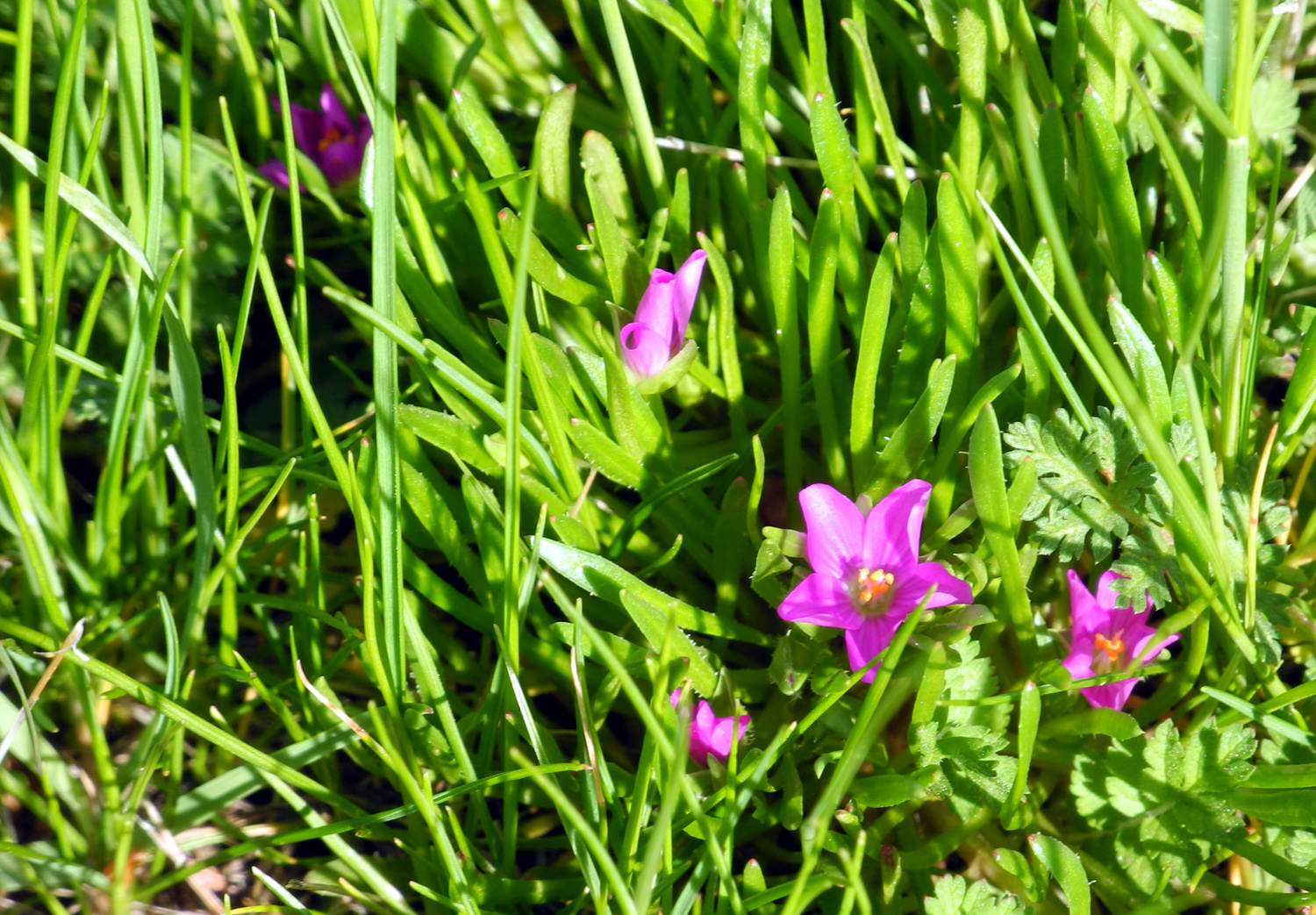
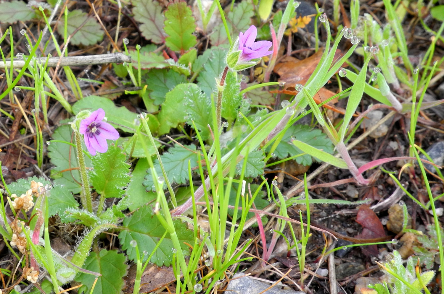
Wildflowers: Along the road leading to the trail and campground complex, I saw some bush lupines in bloom, although there were none near the camp nor anywhere that I walked. In addition, the buck brush (chaparral) and redbud were just starting to blossom. There were quite a few fiddlenecks, a few popcorn flowers, and at least three species of tiny flowers that you could easily overlook, all of them less than a quarter inch in diameter. There should be masses of all these flowers at this time of year, but only the fiddlenecks even came close, and they were limited to small patches a few feet in diameter, but appeared in a lot of places. The popcorn flowers often present a field of white, but there were just a few scattered individual plants in bloom.
One of the things discussed with BLM people was an event coming up on Saturday that I was glad to miss. When I called to make sure the group camp was available, I was told that there was an event on the weekend, but since I planned to be gone by Wednesday, this was no problem. After arriving at camp, I learned from a notice on the bulletin board and my conversation with the ranger Monday evening, that it was to be a half marathon. About 120 runners were expected, and they were going to be using all the trails, up and down, in an area where the temperatures were expected to be close to 70 degrees. Not for me.
I also started a very gripping novel called The English Girl by Daniel Silva. It's sort of a spy story, but much more. It was very suspenseful and the climactic scenes were extremely tense. It's part of series featuring the same protagonist, and I will be getting more books by this author.
The first day the high was around 68, with a low of 51 after the rain. The clouds were thinner the second day, and it got up to about 72, with a low Tuesday night/Wednesday morning of 52. At 5 p.m. Tuesday the sun could be seen going down behind Kennedy Table, but there were dark clouds up the river. The forecast for that evening was "cloudy early, clearing late," which was fairly accurate. At 2:30 it was mostly clear with clouds on the western horizon. There were a lot of stars visible, but not very bright due to a lot of moisture in the air. --Dick Estel, March 2014 |
||
|
Photos (Click to enlarge; pictures open in new window) |
||
January Campout |
||
|
|
||
|
|
 |
|
| Not sure what it means, but it's NOT "group camp" |
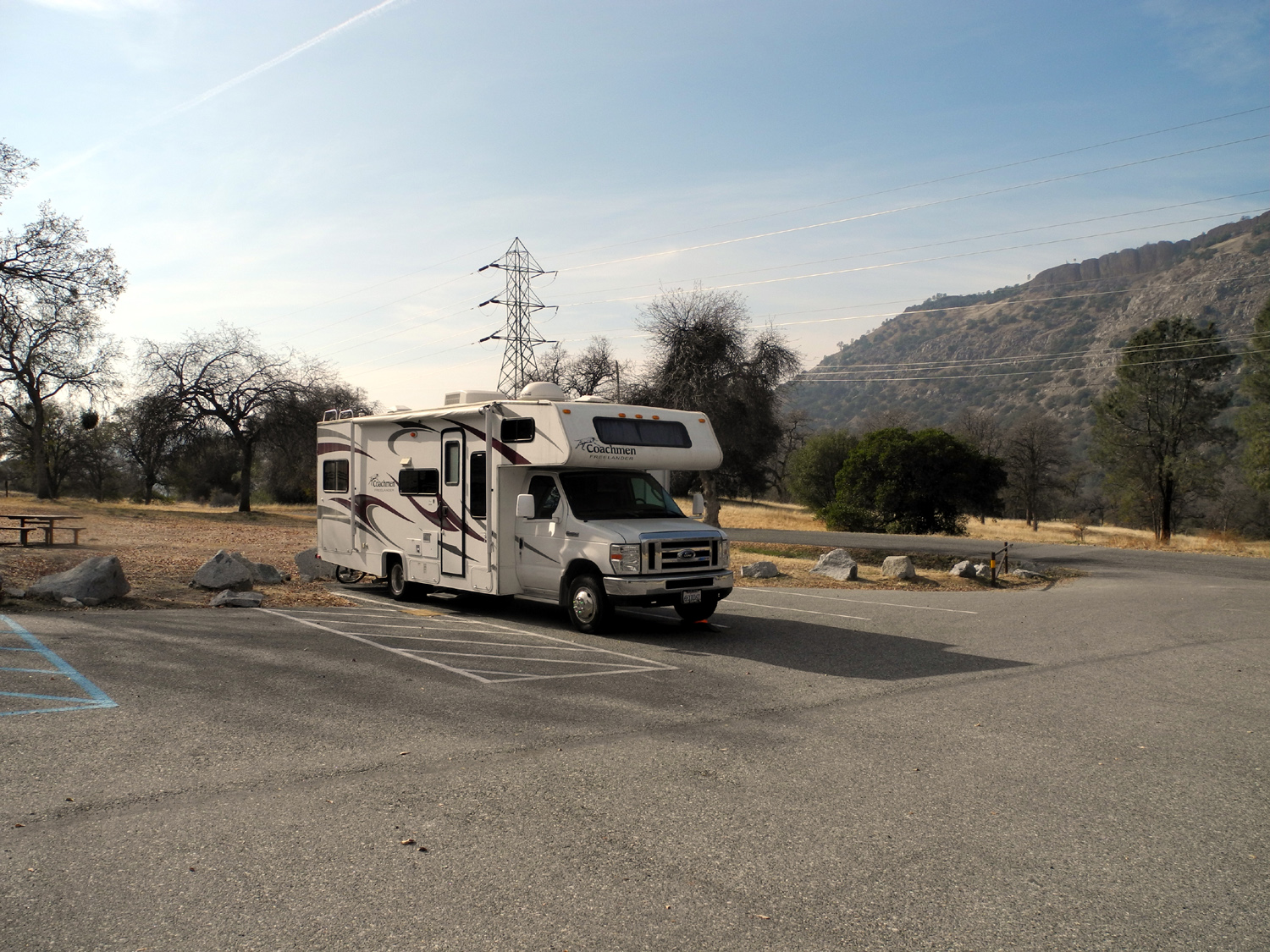
My motor home at the group camp area |
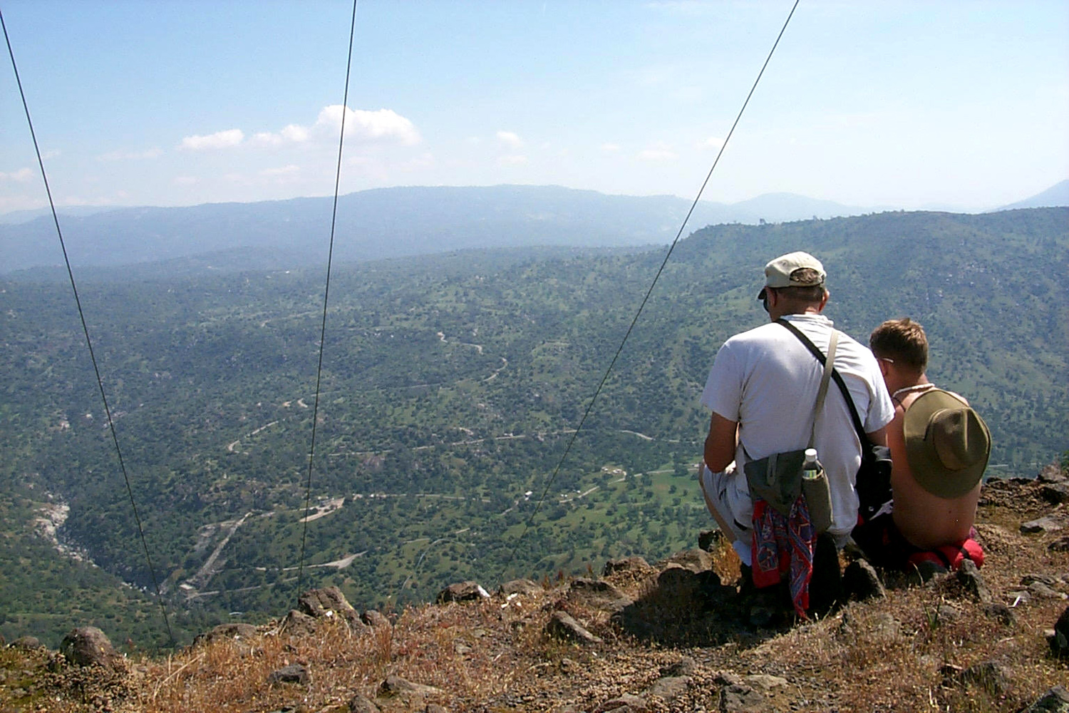
Looking down on the bridge from the trail above |
 |
 |
 |
| Buckeye - first to leaf out | Sign for the River Trail | Sign for the Ridge Trail |
 |
 |
 |
| Water bars being installed | Two members of the trail maintenance crew | They carried in at least 45
of these 4X4 6-foot timbers |
 |
 |
 |
| Along the ridge trail | A small spring provides rare moisture | Well-weathered rock formation |
 |
 |
 |
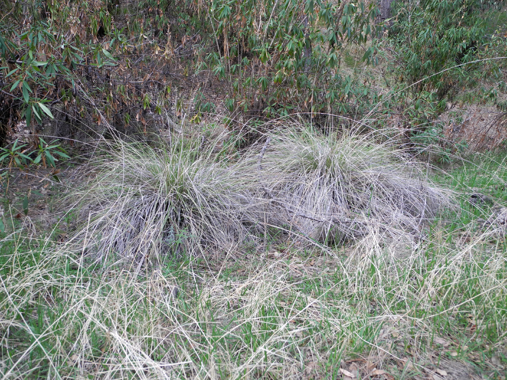
| The farthest point I walked on the Ridge Trail | The greenest spot in the area | A well weathered step |
 |
 |
 |
| San Joaquin Gorge sunset | Looks like a mine shaft
entrance, but it's too small and only 15 feet deep; its purpose is unknown |
A closer look |
 |
 |
|
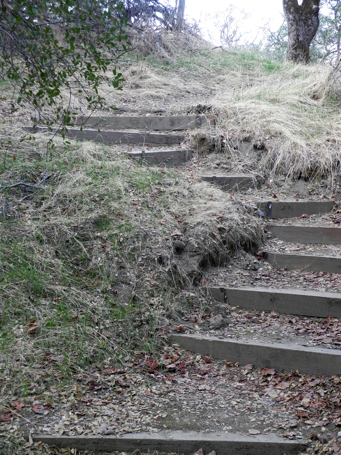
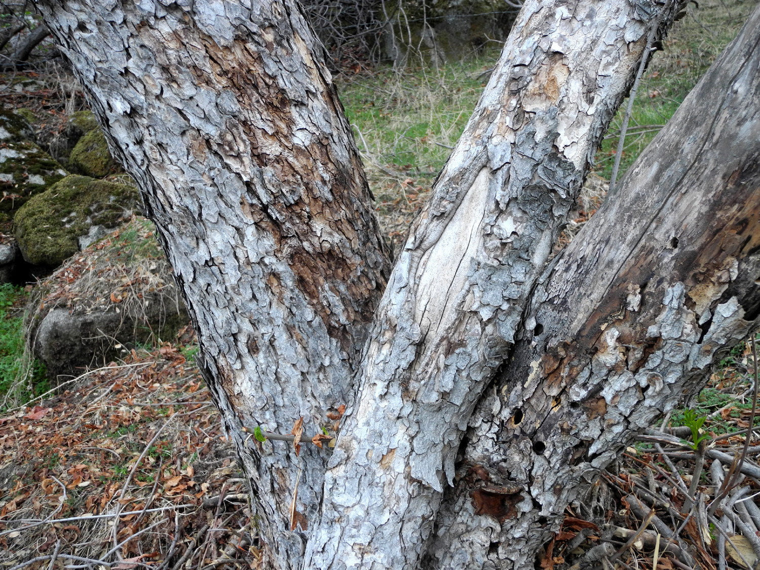
| Blue oak with knot holes | Steps along the Nature Trail |
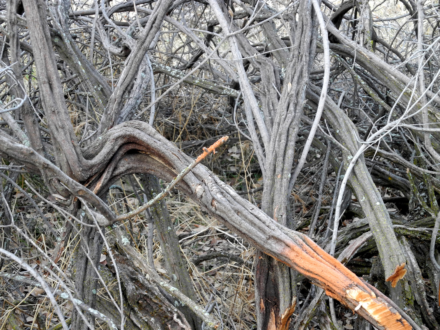
Unique shapes of dead buck brush |
 |
 |
 |
|
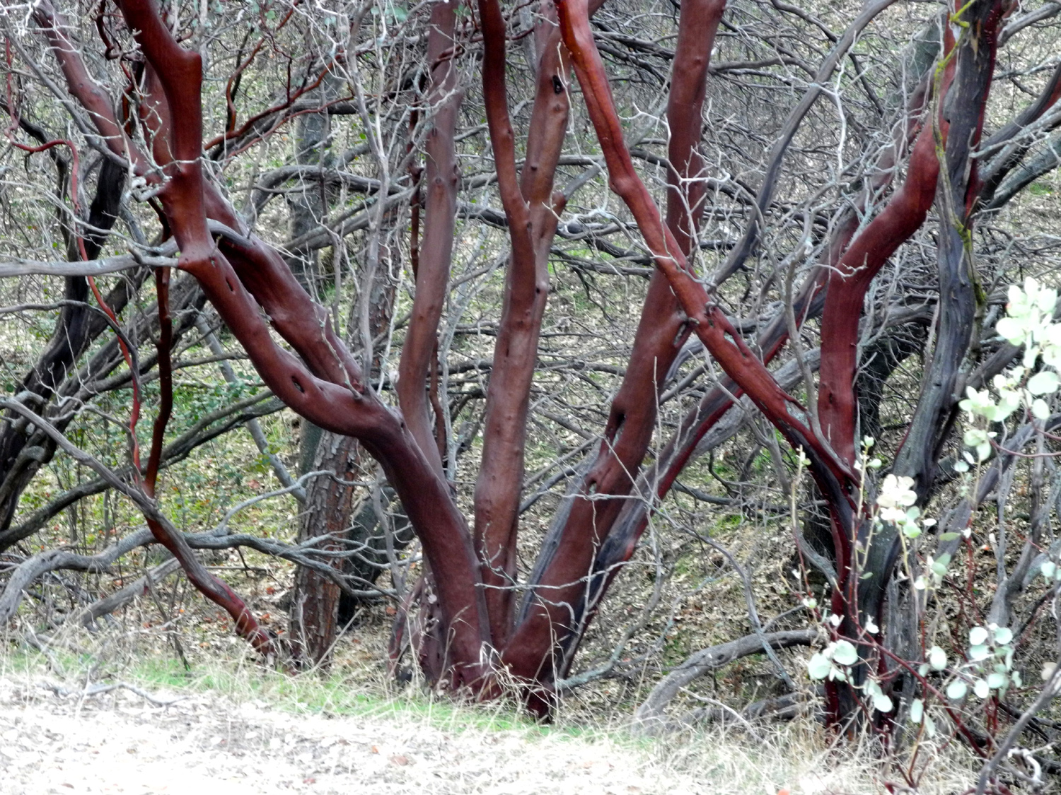
The unmistakable red-brown |
Base of a buckeye tree |
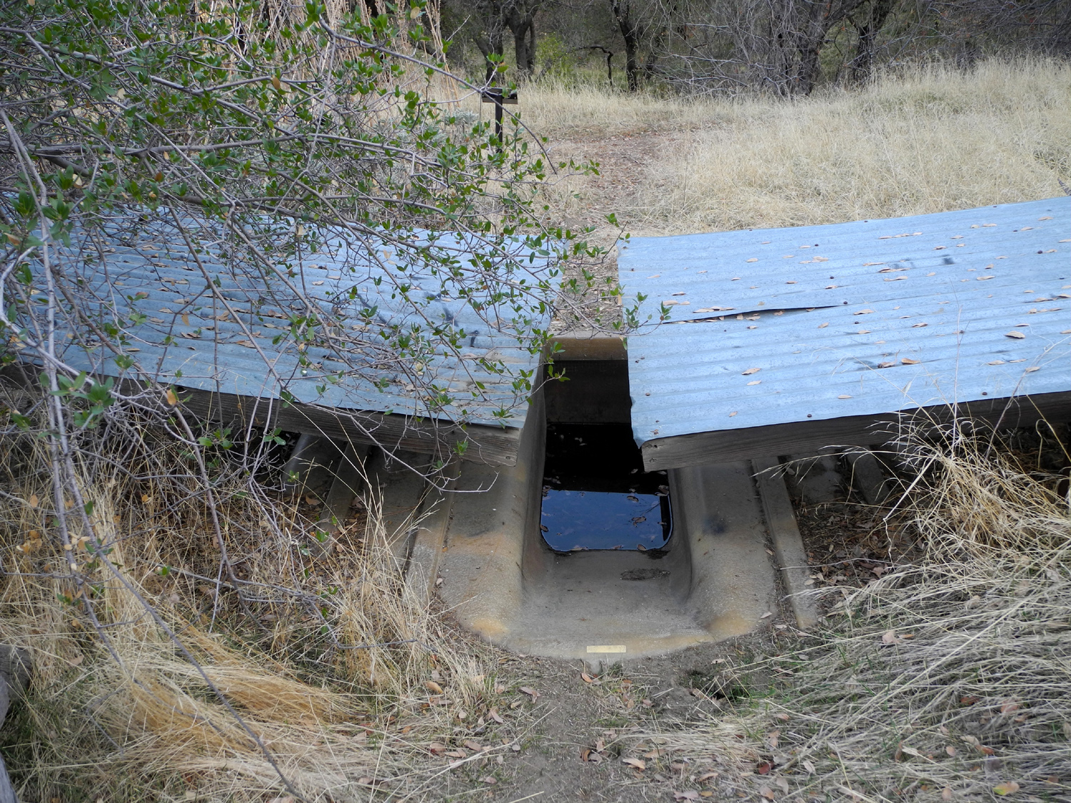
Bridge across the upper
part of |
 |
 |
 |
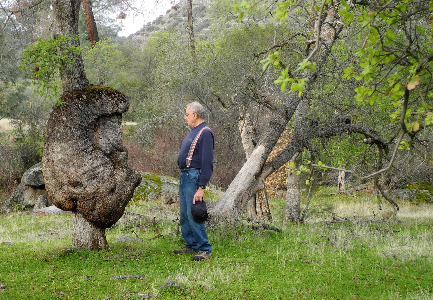
| A rocky ridge above the Nature Trail | Wildlife guzzler, a device to retain rain water | Huge burl on blue oak |
 |
 |
 |
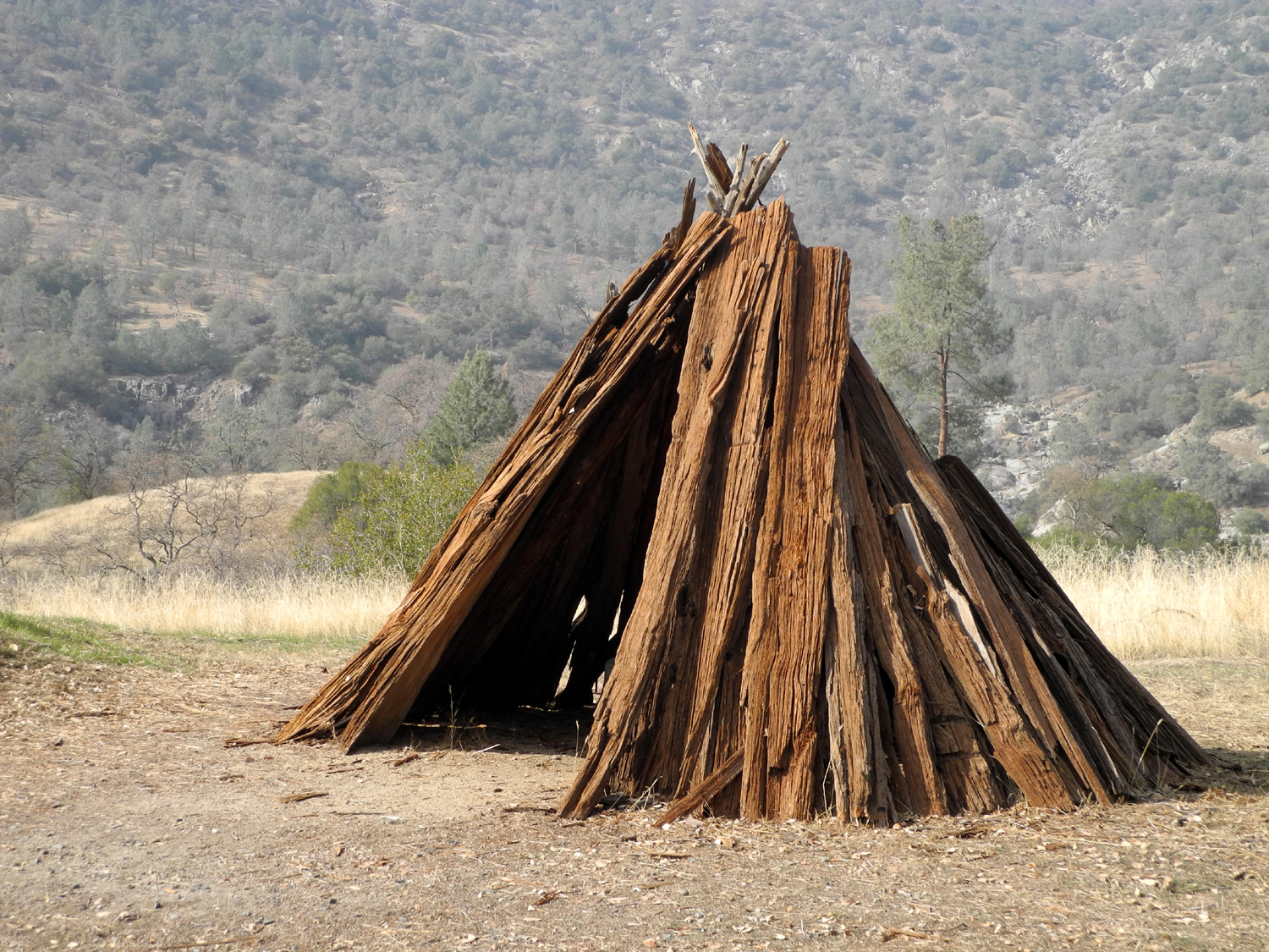
| Native American shelter | This shrub is not
identified in the "Squaw Leap Nature Guide" |
The Indian name for the
trailhead area means "Place of Blue Oaks" |
Background and History |
||
 |
 |
 |
|
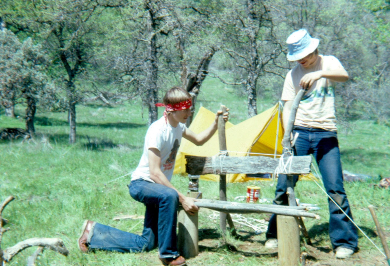
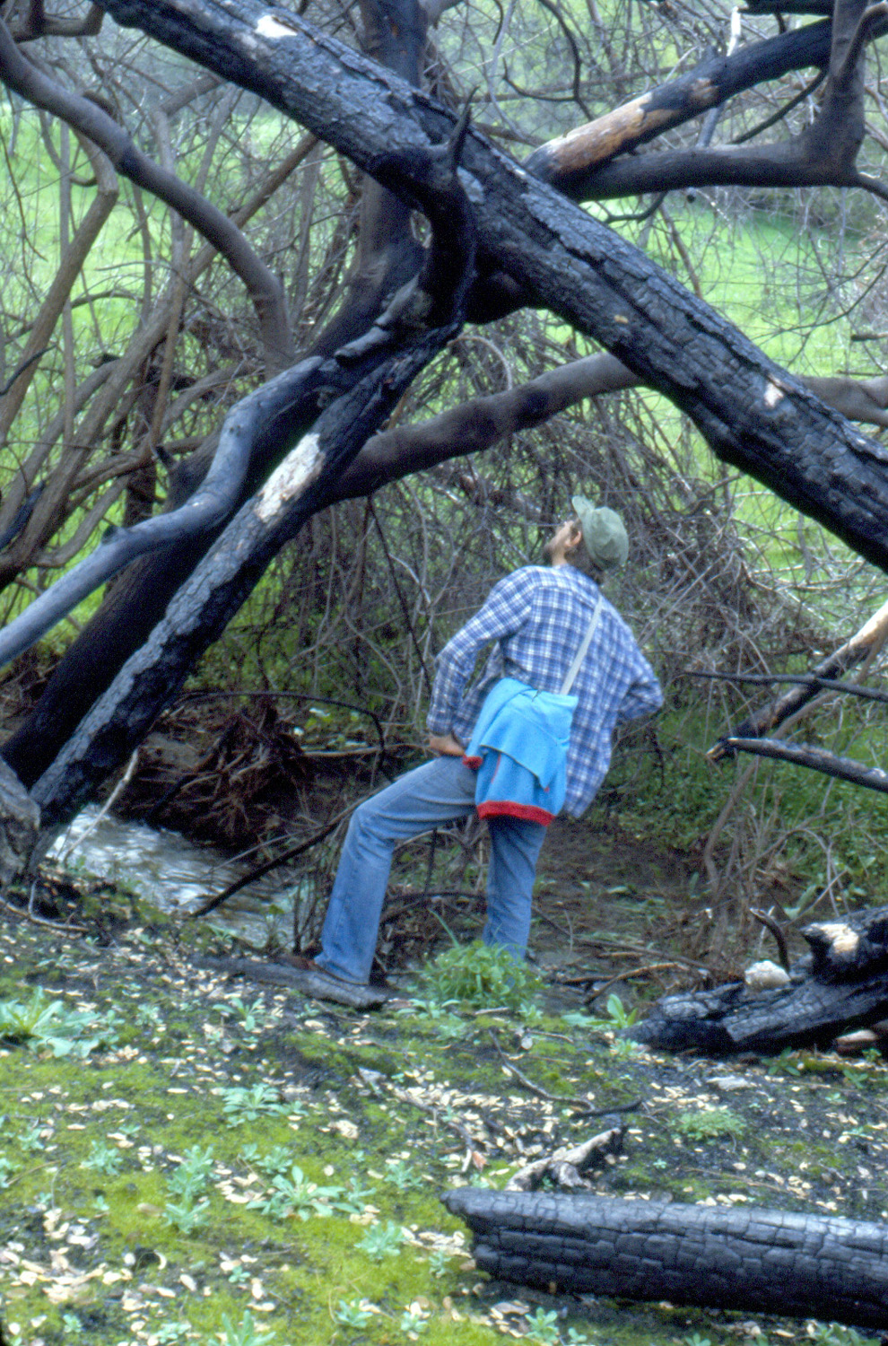
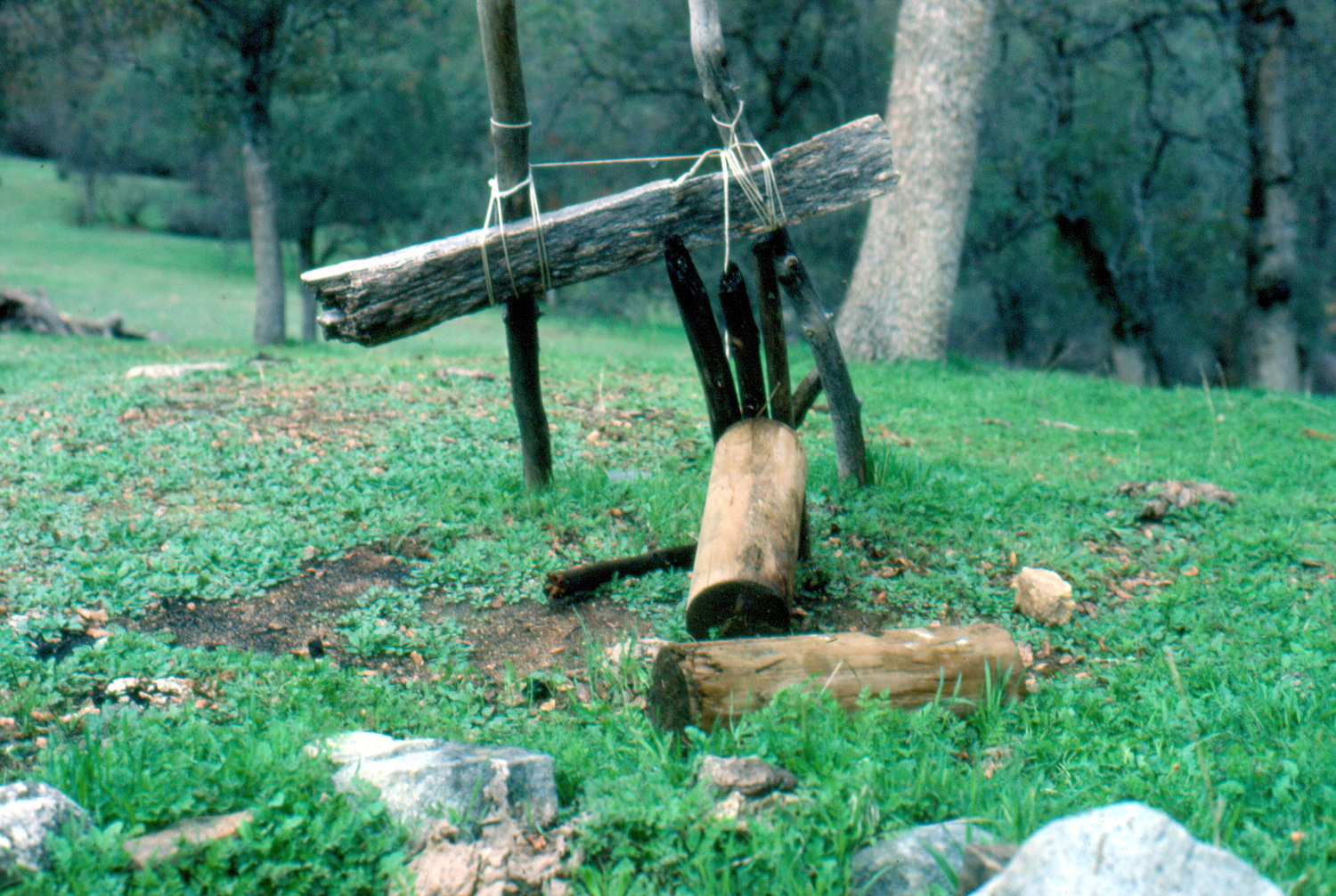
Building a bench at our favorite camping spot |
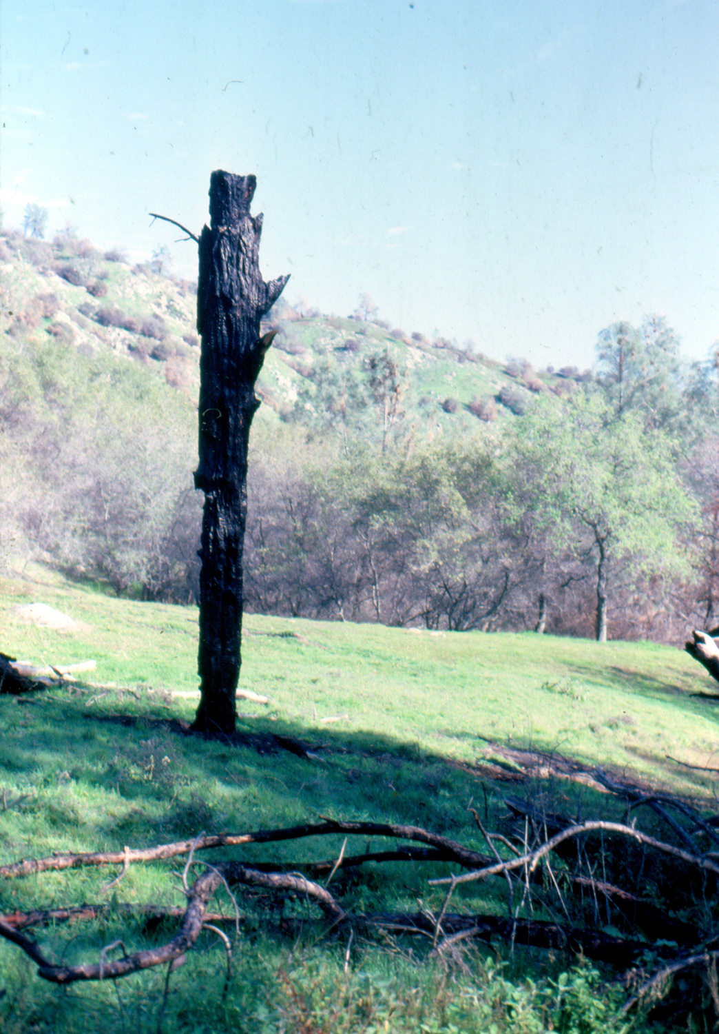
Fire scars and new growth
surround the remains |
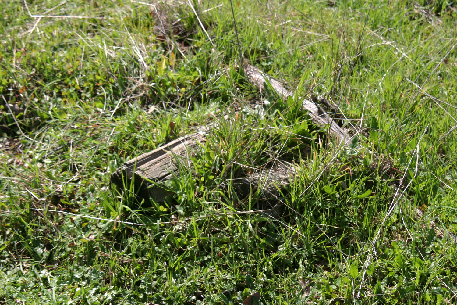
Remains of the bench in 2010 |
|
|
||
|
|
|
|
|
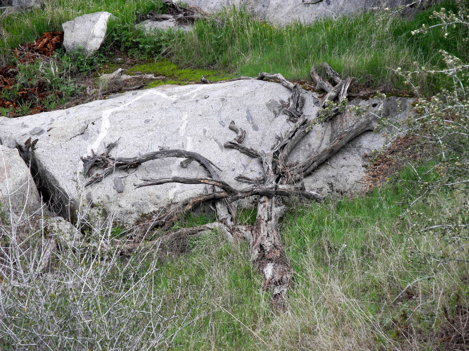
A tangle of burned trees |
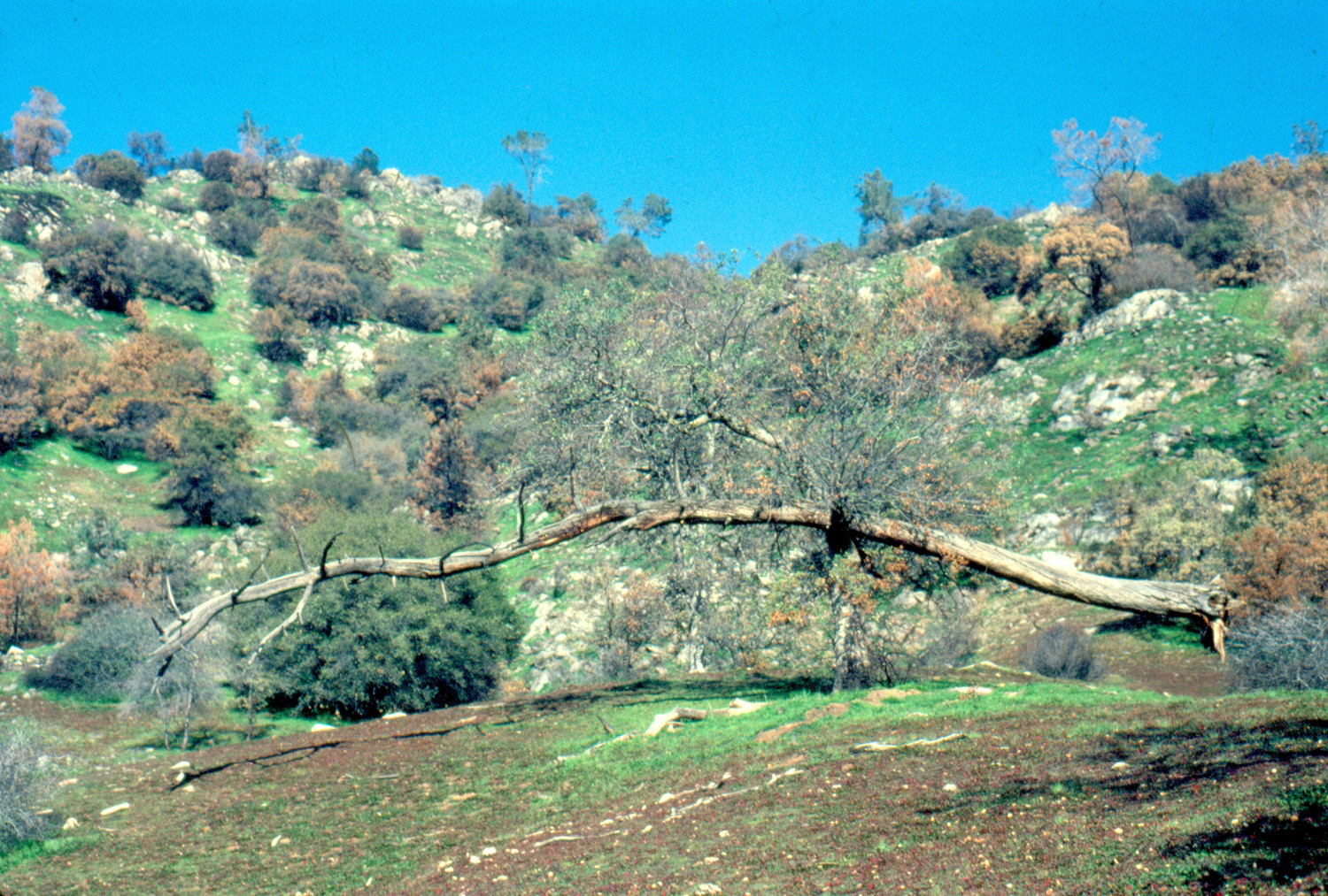
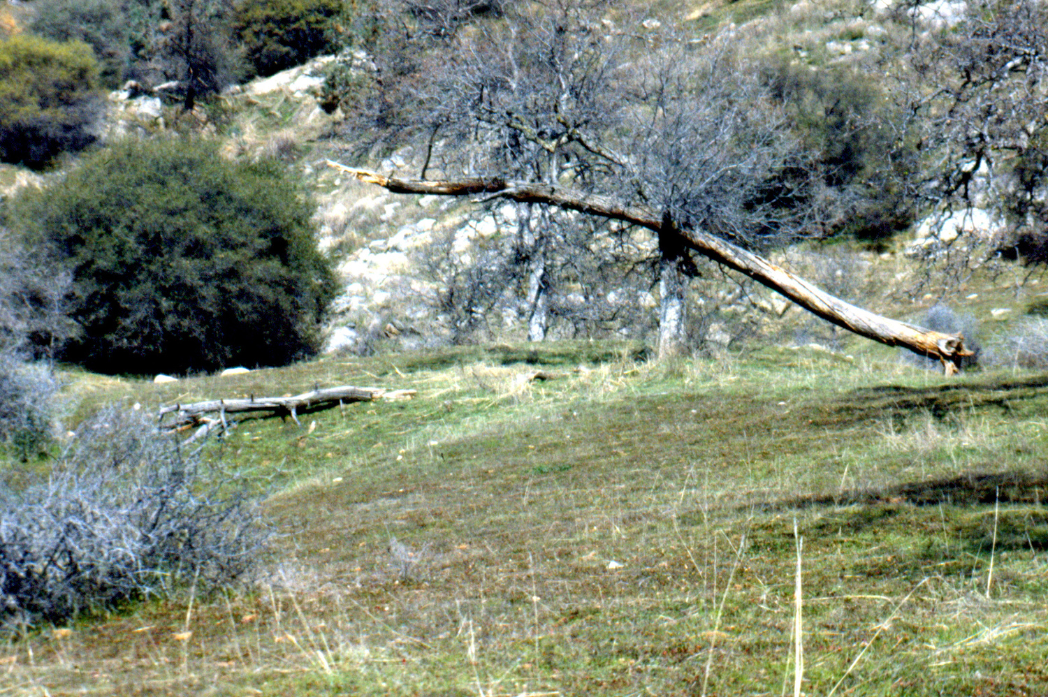
A fallen bull pine, balanced on a blue oak |
Weakened by the fire, the
pine |
|
|
||
|
|
|
|
|
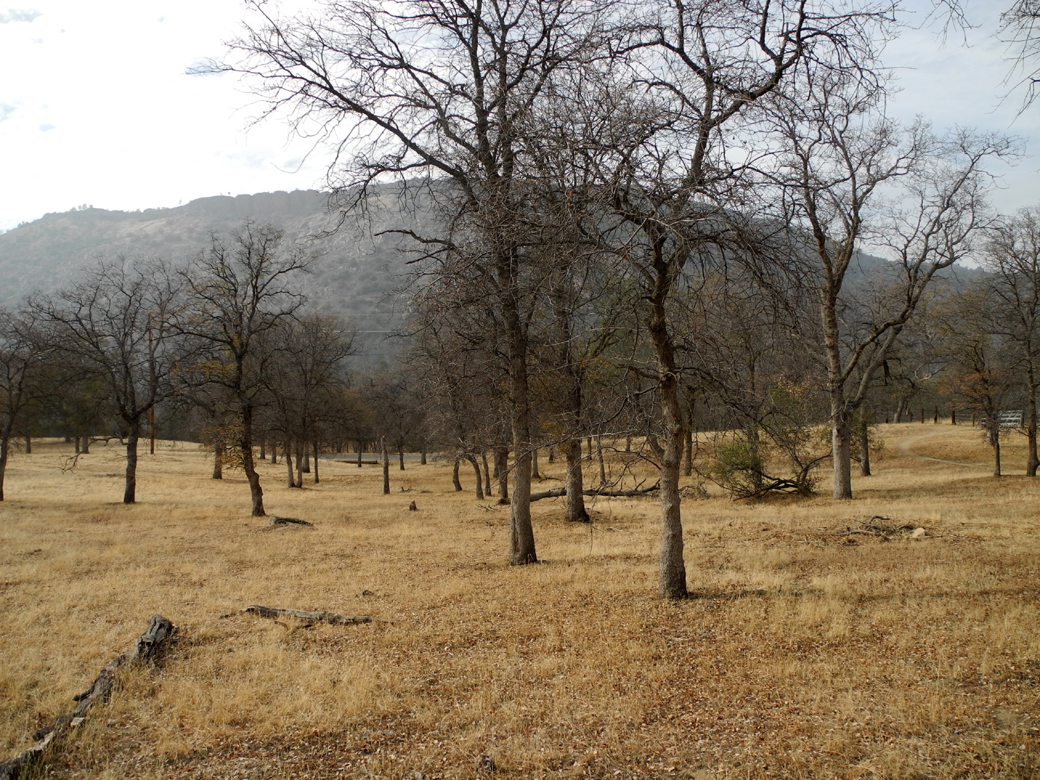
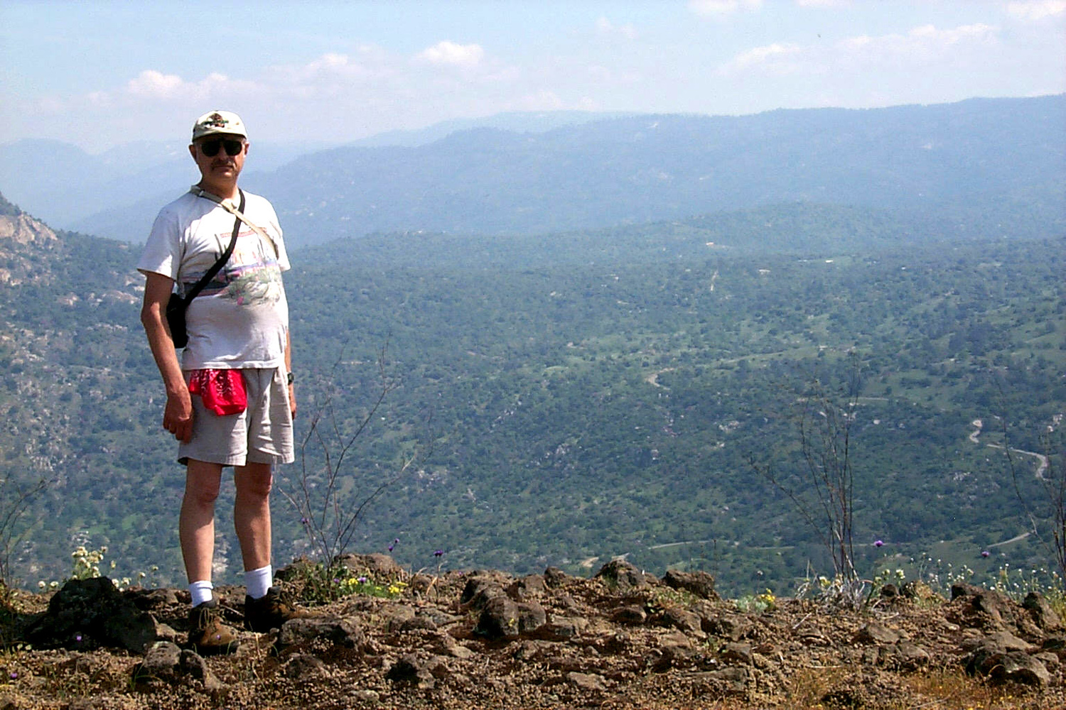
On Kennedy Table in about 2000 |
The road down into the
gorge is |
This tree was still
standing when we |
|
|
||
 |
|
|
| San Joaquin River and power
house from Squaw Leap bridge, at a time of high water |
1980s photo, before metal railings were added to bridge |
2013 photo showing recently-added metal railings |
 |
 |
 |
| Bedrock mortars near visitor center | Kerckhoff Power House, just upstream from the bridge |
San Joaquin Gorge Map |
| March Campout | ||
 |
 |
 |
| Buckeye in the rocks | Welcome rain in February
brings moss and grass for March |
Dick reading an X Bar X Boys book |
 |
 |
 |
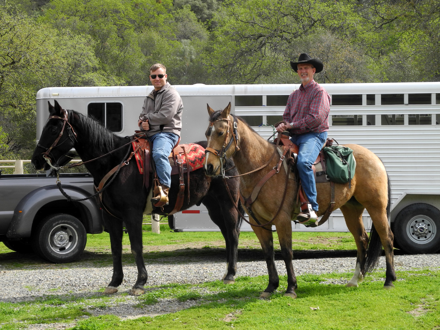
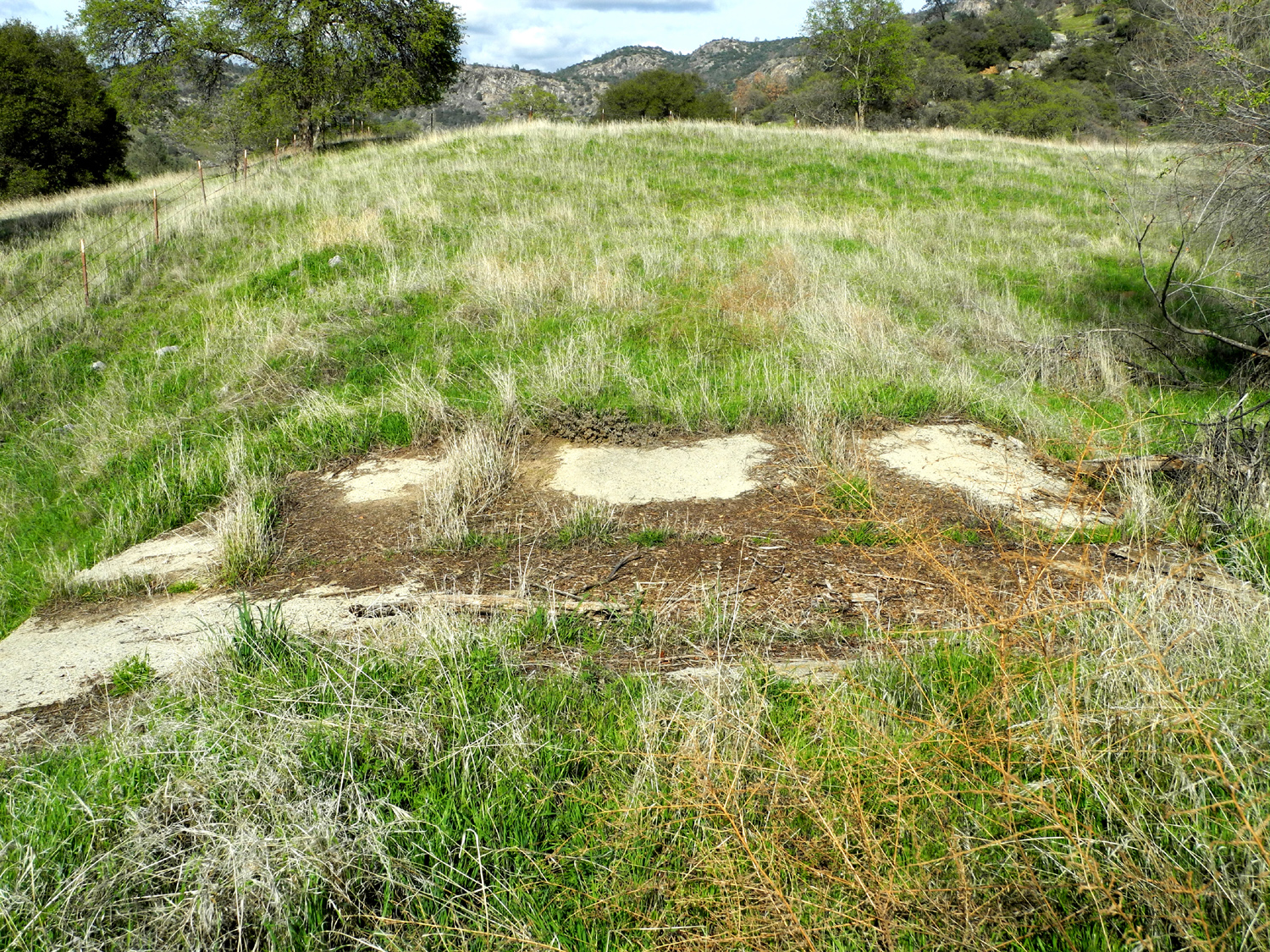
| Ready for a trail ride | This unnatural looking land
feature turned out to be an old dam |
The spillway |
 |
 |
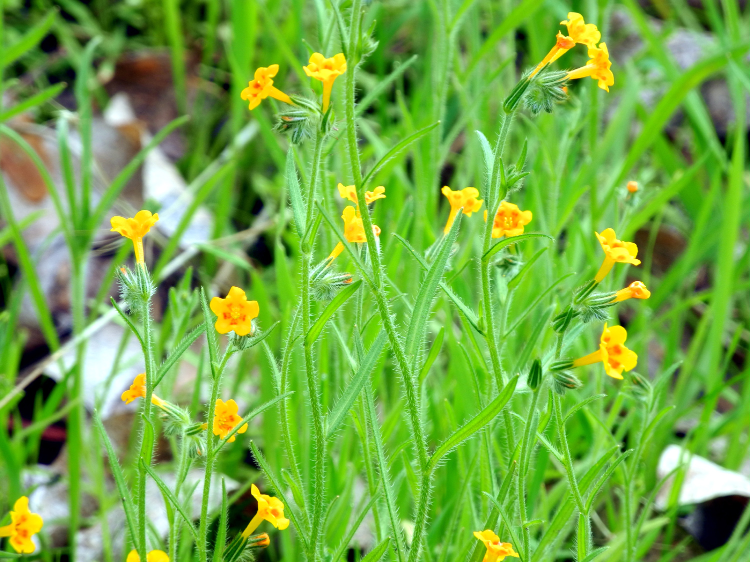 |
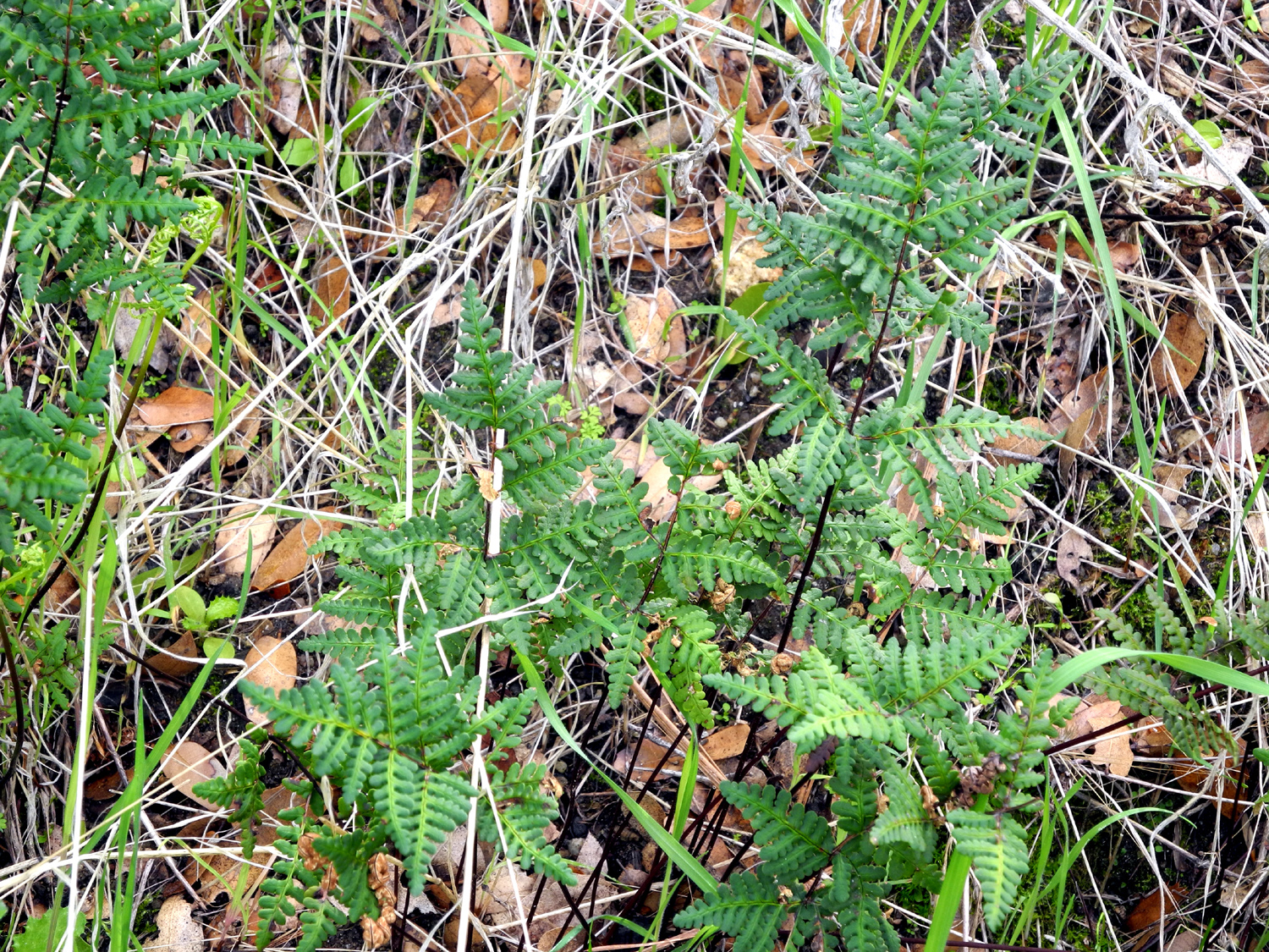
| Goldenback fern | New poison oak leaves | Fiddlenecks |
 |
 |
 |
| Much
later I learned that these flowers, less than a quarter inch in diameter, are fringed redmaids |
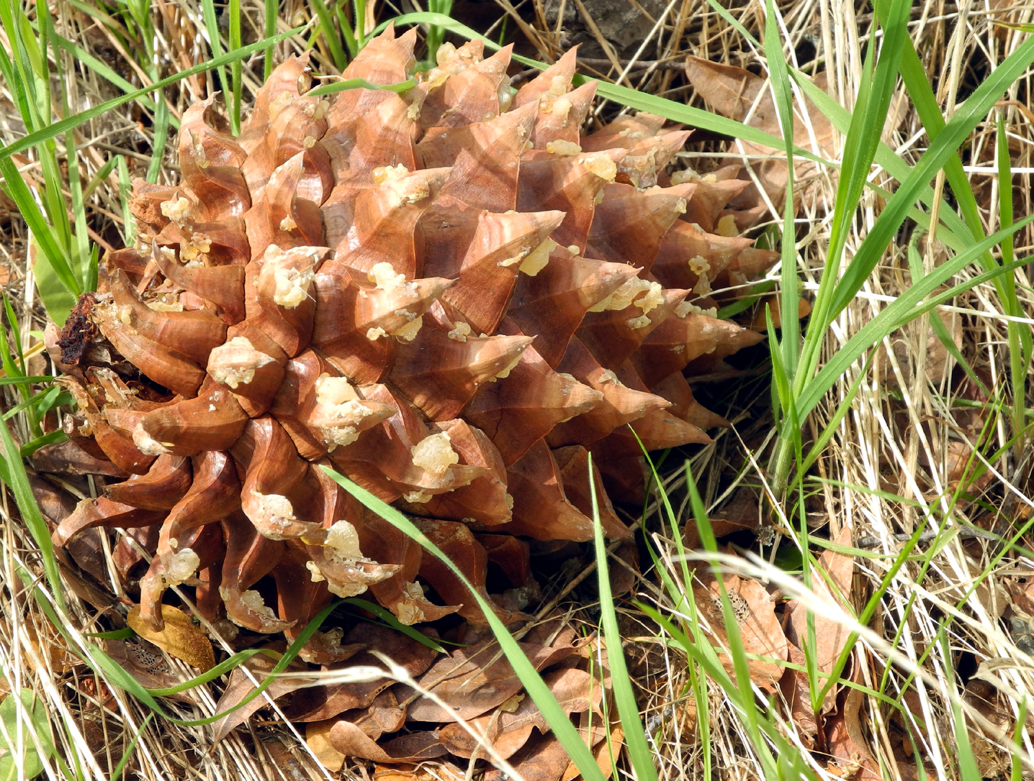
Filaree | A splendid bull pine cone |
 |
 |
 |
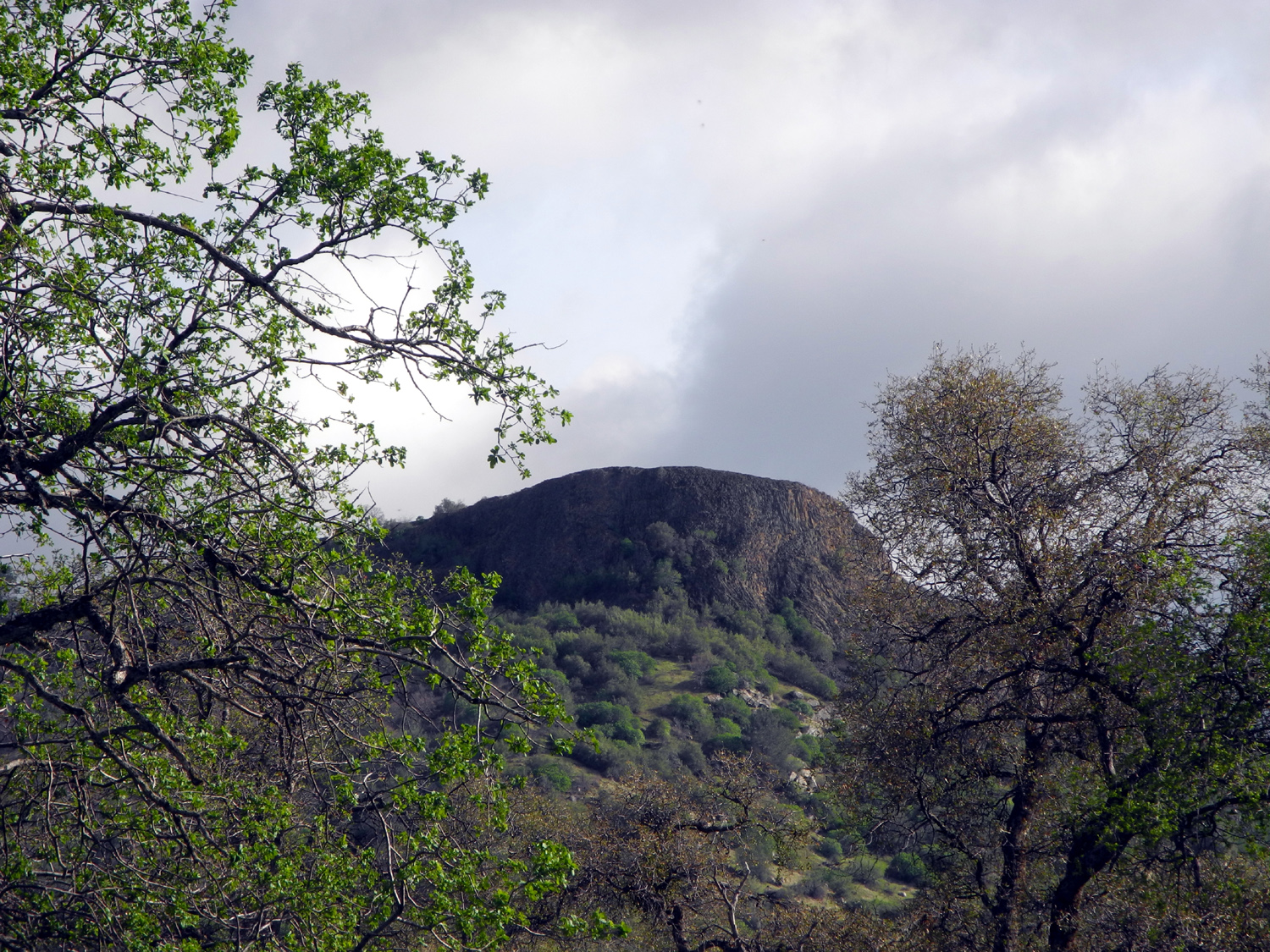
| Pine tree and rocks | Clouds over Squaw Leap | Live oak in a rock |
 |
 |
|
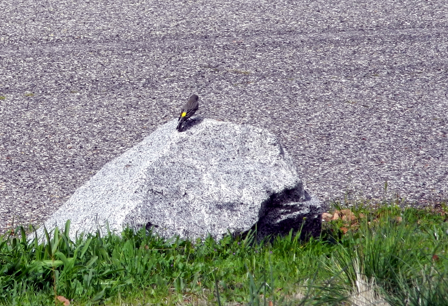
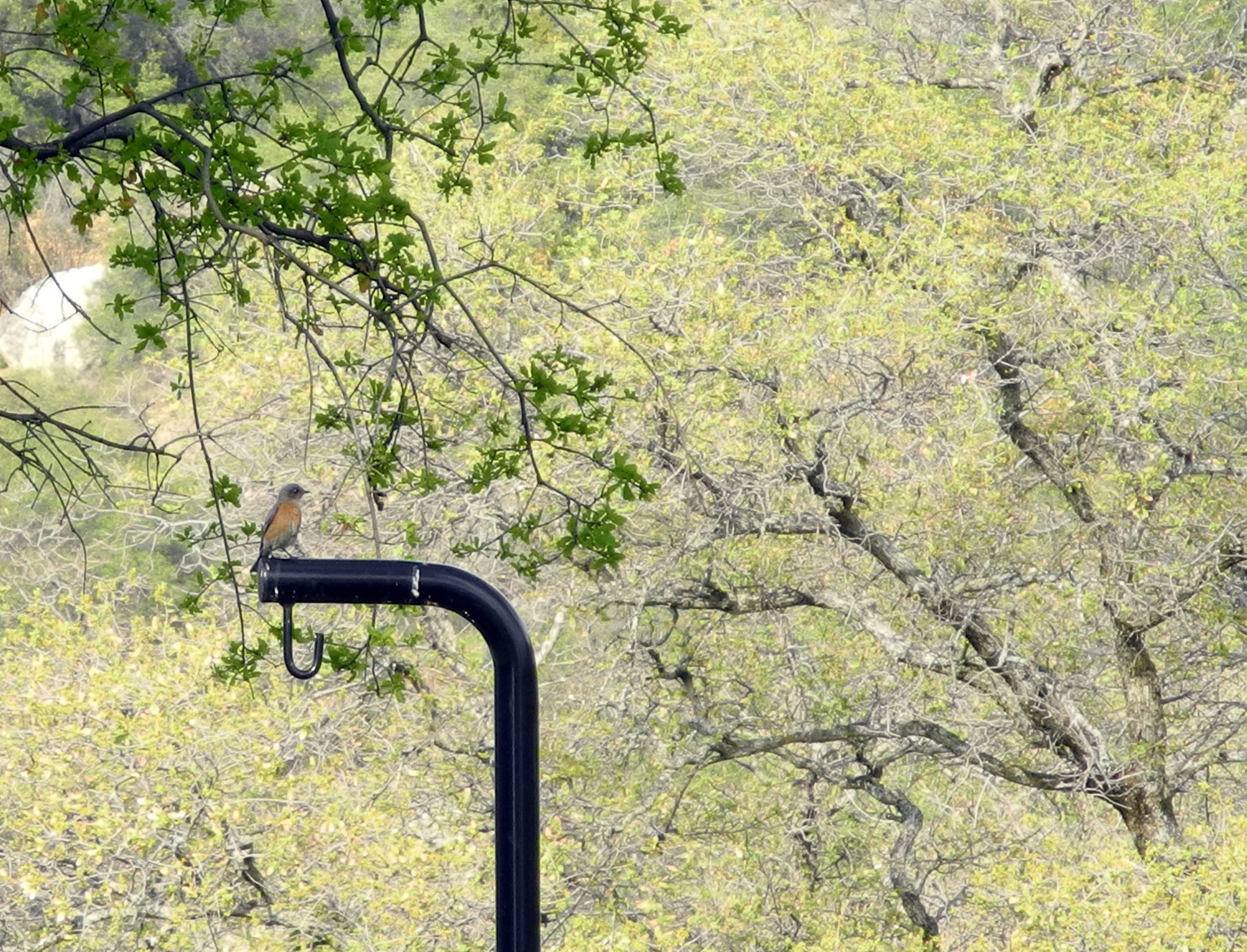
| Campground bird | Bluebird | Contemplating a large burl on a blue oak tree |
 |
 |
 |
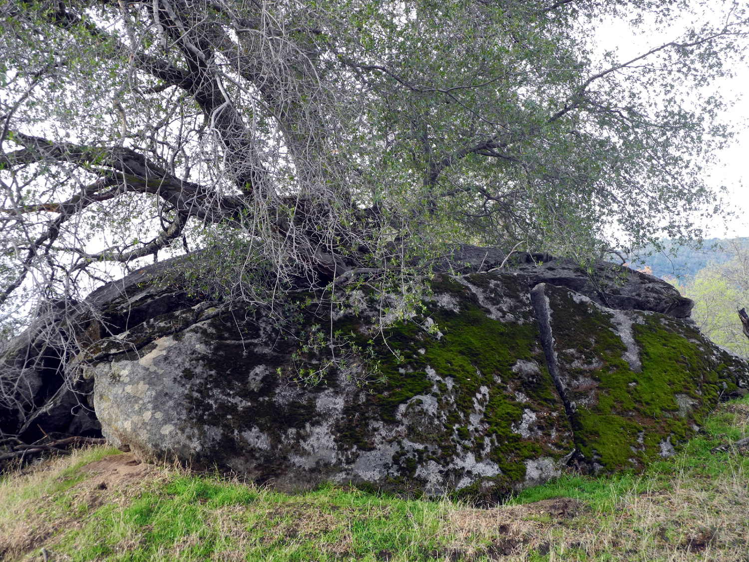
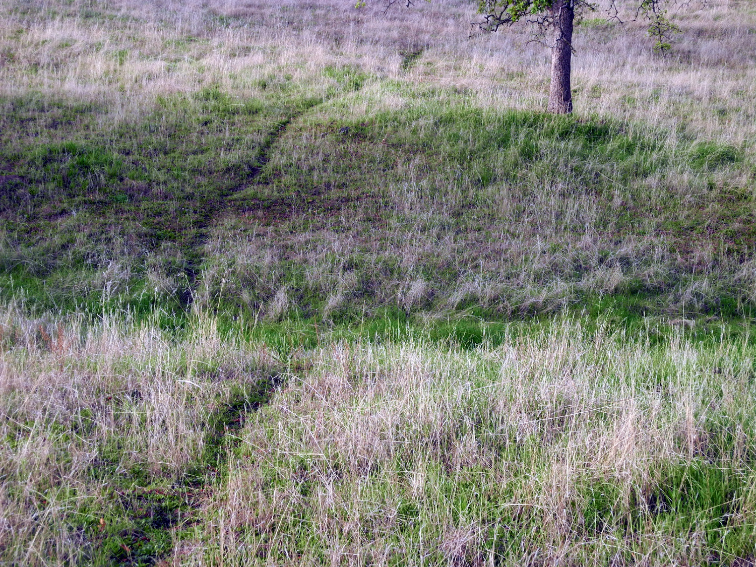
| Hills to the southeast | Typical foothill game trail | Artistic display by nature |
 |
 |
 |
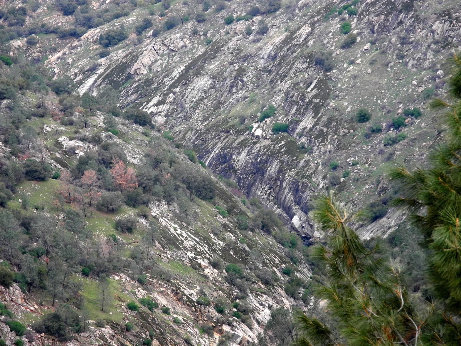
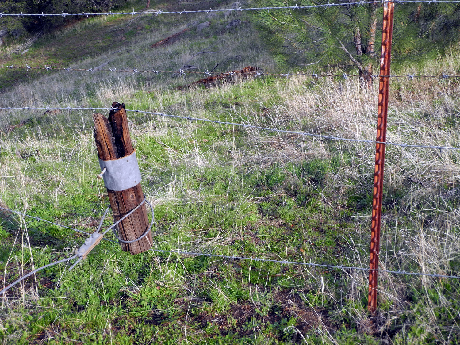
| The San Joaquin River gorge | A place to get through the fence | Handy sticks used to tighten wire |
 |
 |
 |
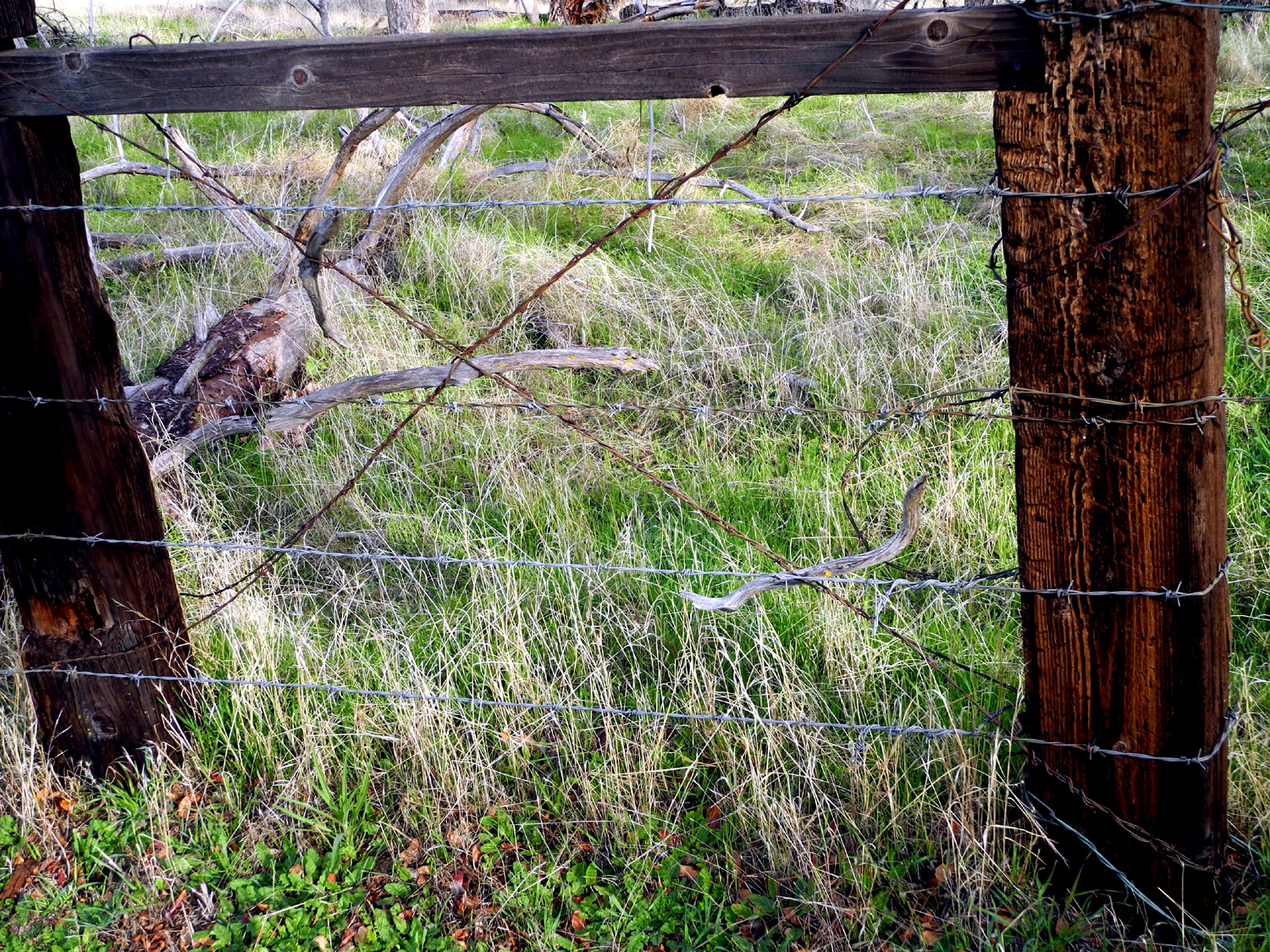
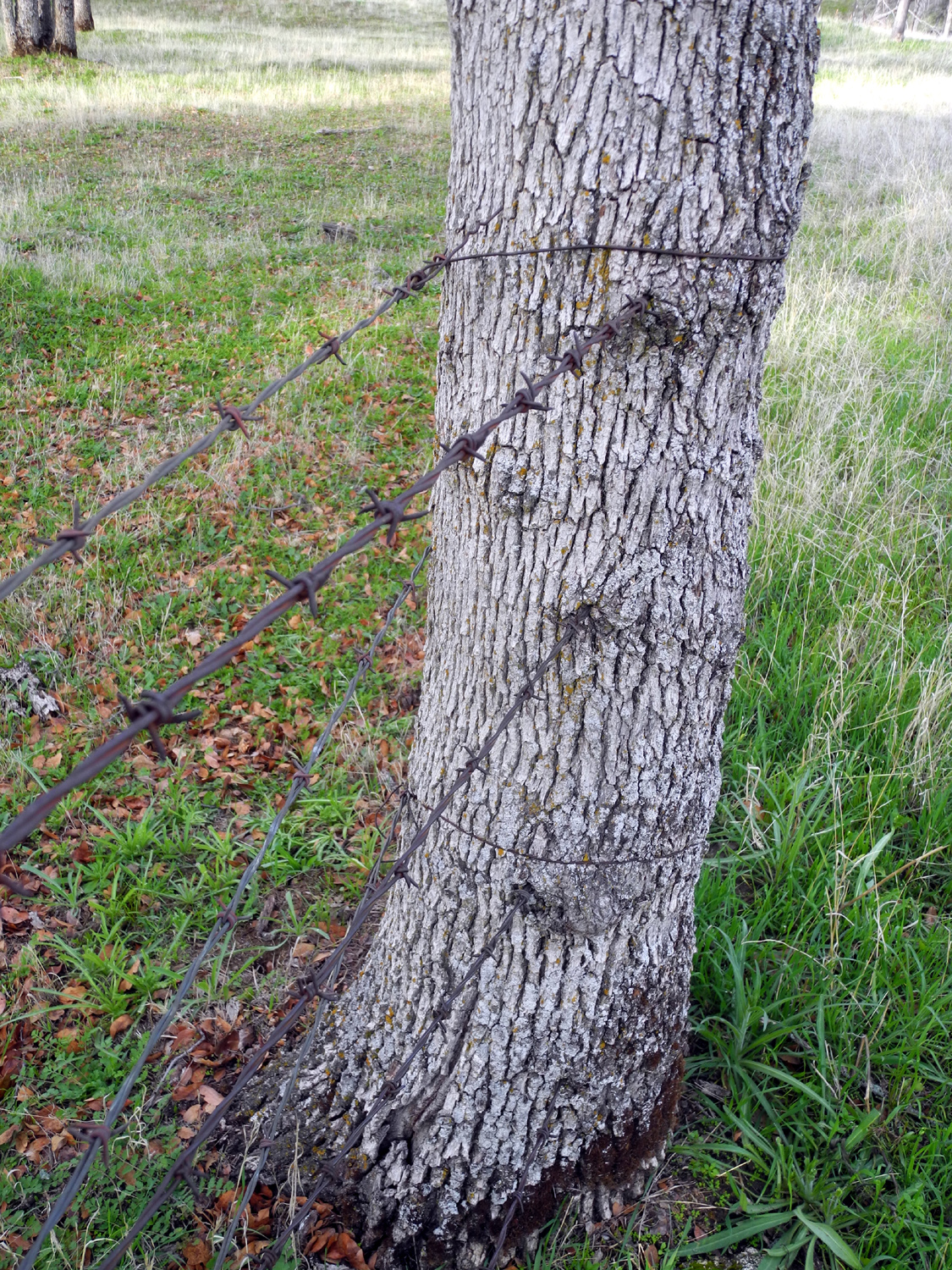
| Nature provides some fence posts... |
...and pretty much ignores barbed wire |
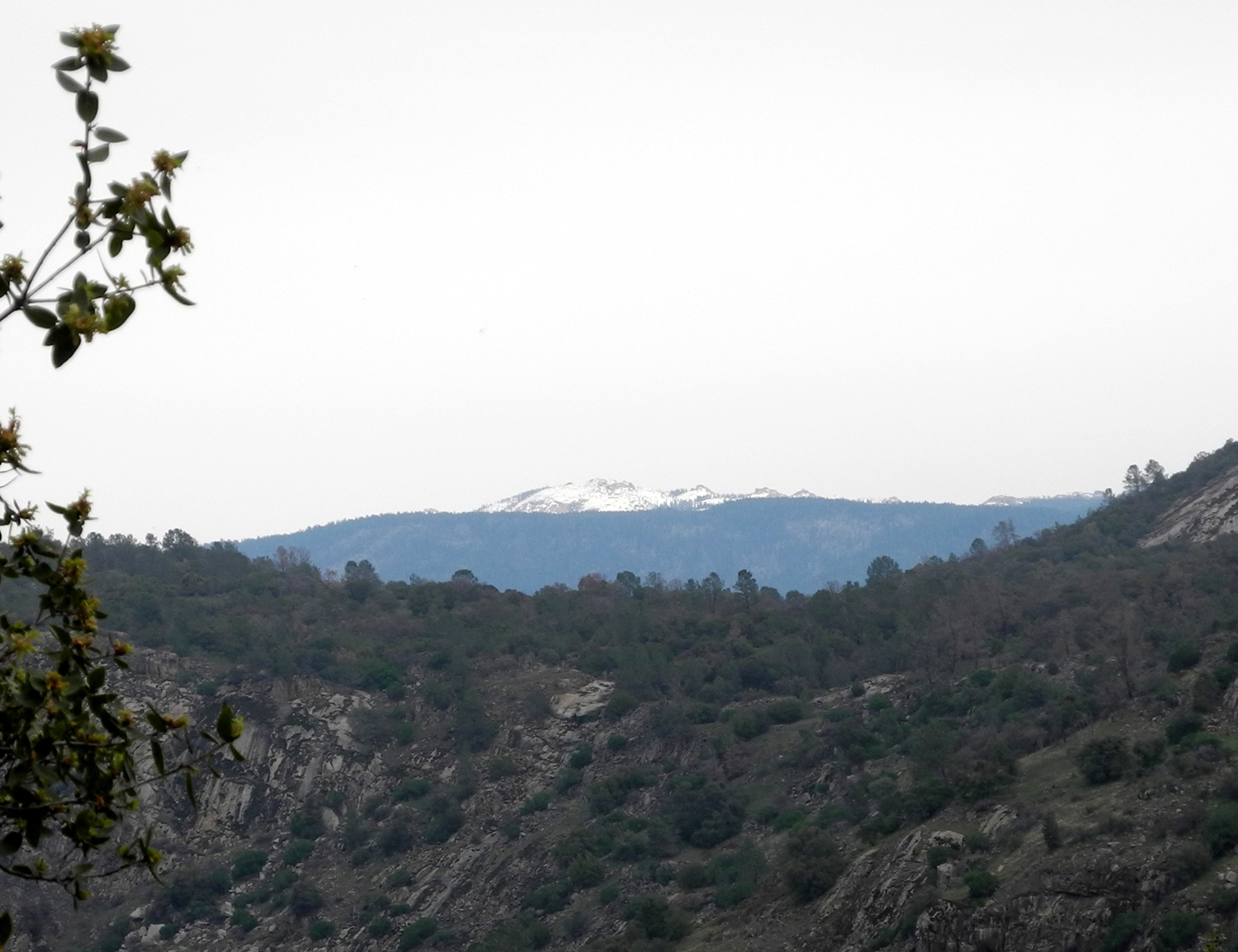
Snowy Sierra from the road
leading into San Joaquin Gorge |
 |
 |
 |
|
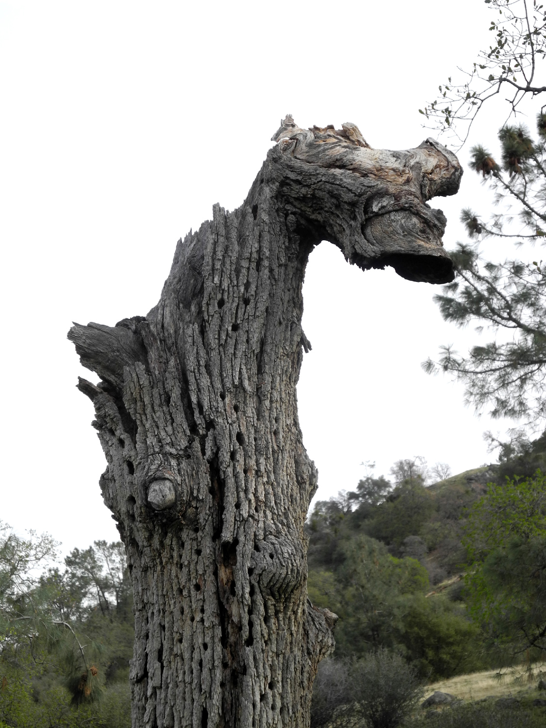
Monster tree (or just a dead blue oak) |
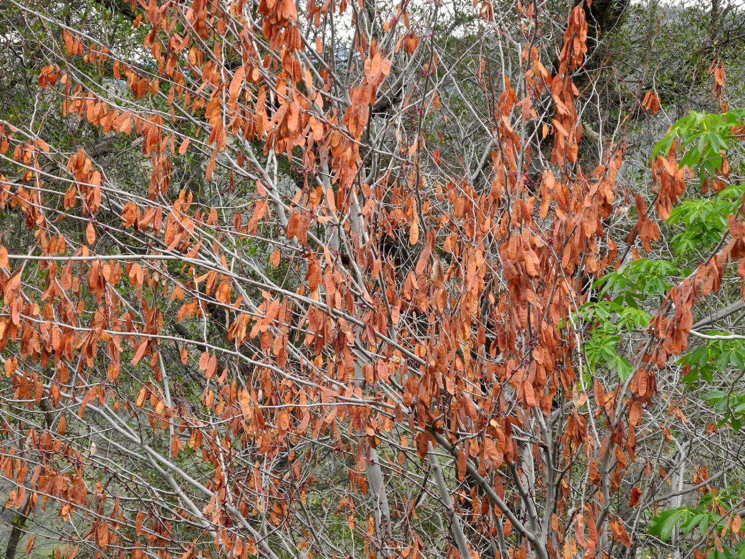
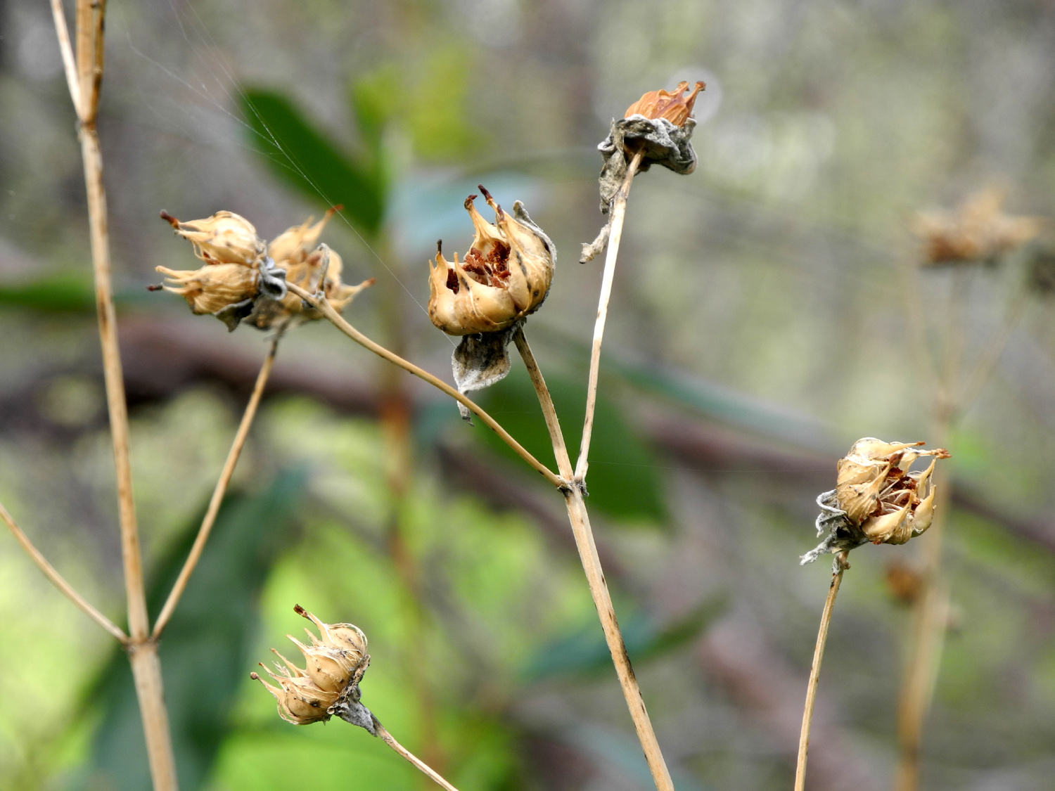
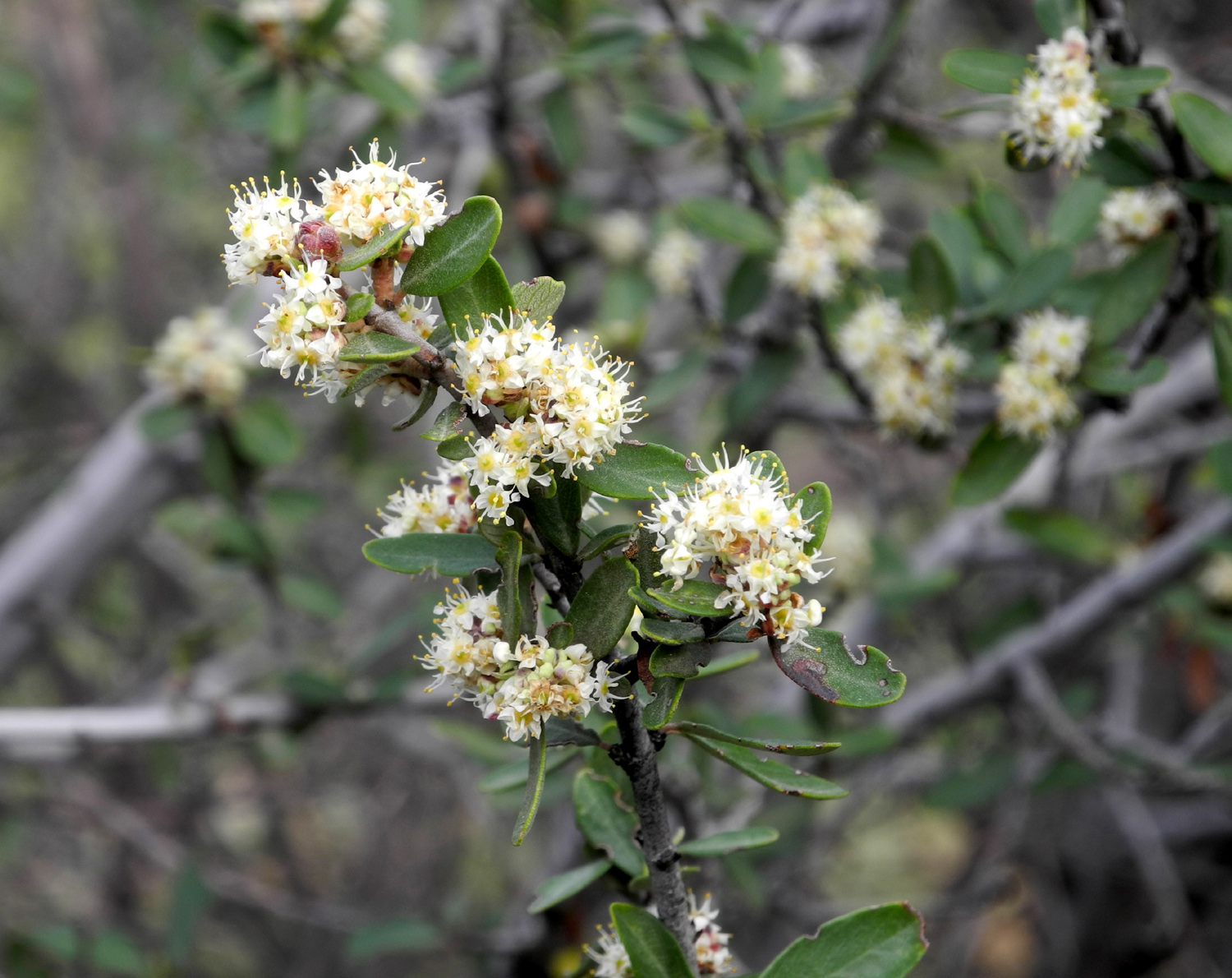
Redbud seed pods | Buck brush in bloom |
 |
||
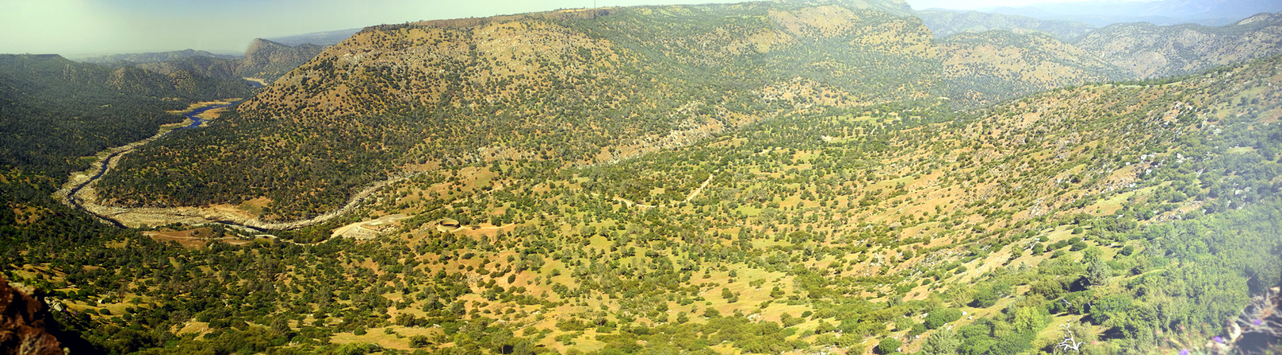
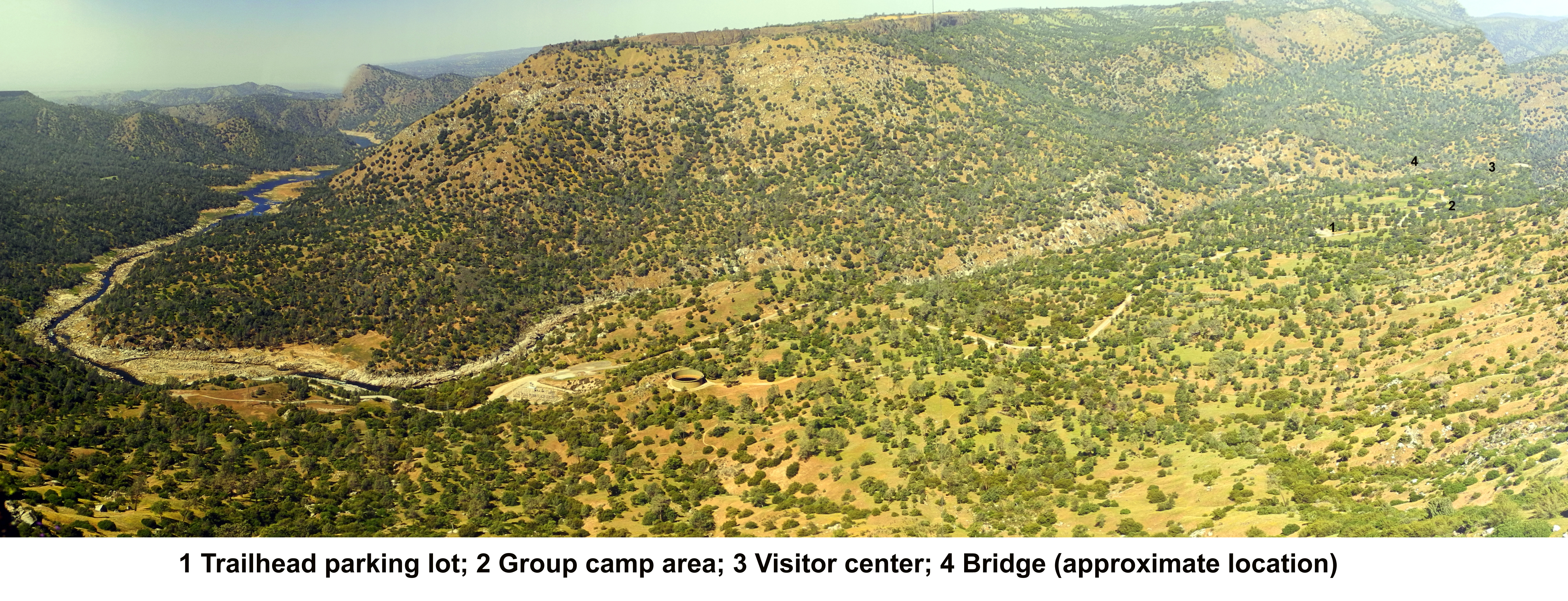
| Panoramic view of the area, taken from the top of Squaw Leap table. Click here for a version with locations identified; click here for a very large version | ||
| Related Links | ||
| San
Joaquin River Gorge Special Recreation Management Area |
Kerckhoff Hydro Project | Other San Joaquin Gorge Travel Reports |
| Ambitious Plans for the Trail | 1966 Wildlife Management Plan | San Joaquin Gorge Photo Album |


