


2015
Ramblers Hikes |
||
|
The Ramblers are Carolyn
Amicone, Julie Hornback, Wes Thiessen, and Dick Estel, former colleagues at the
Fresno |
||
Hikes in 2014: Buena Vista Peak Nelder Grove Sentinel Dome San Joaquin Gorge Hikes in 2015: Millerton South Bay Trail Hensley Camping & Hiking Edison Point Hite's Cove Trail San Joaquin Gorge Lewis Creek Trail Crescent Meadow Page 2 (July - December 2015) |
||
|
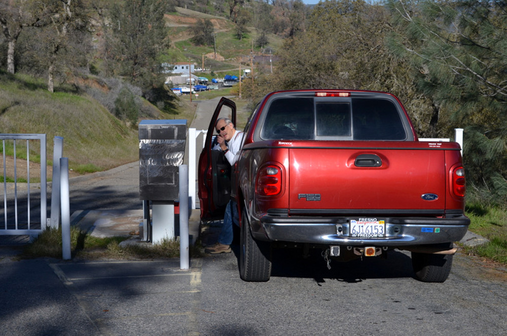
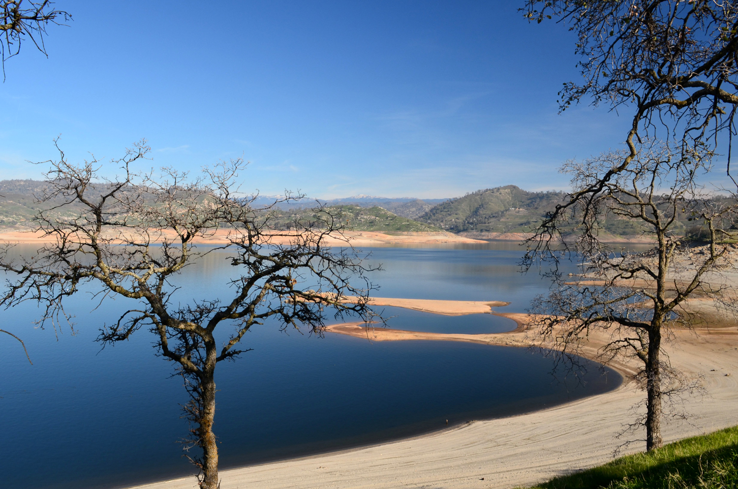
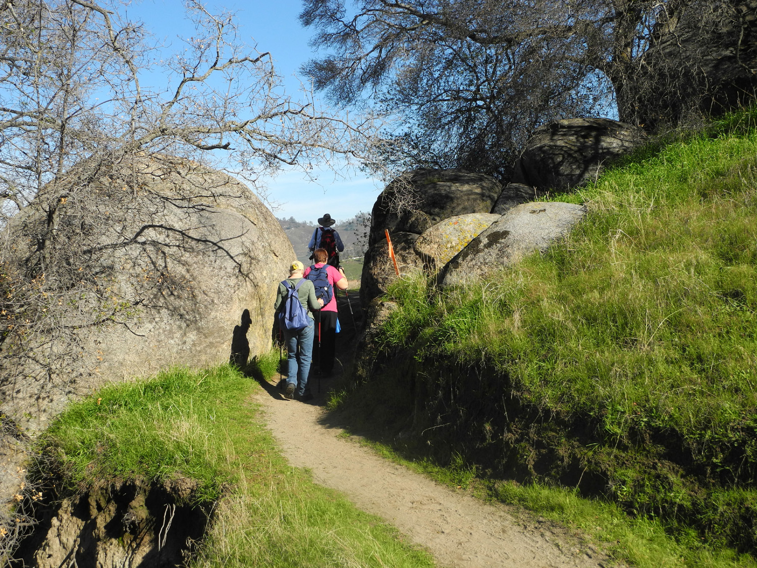
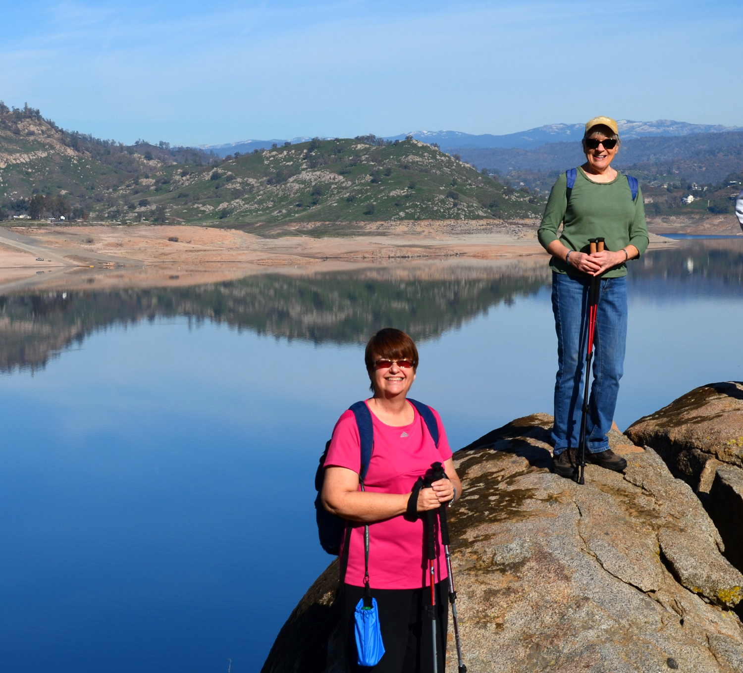
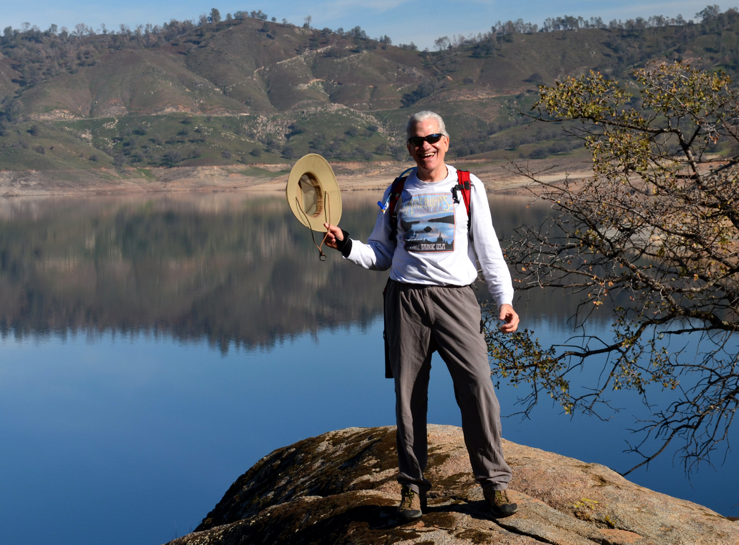
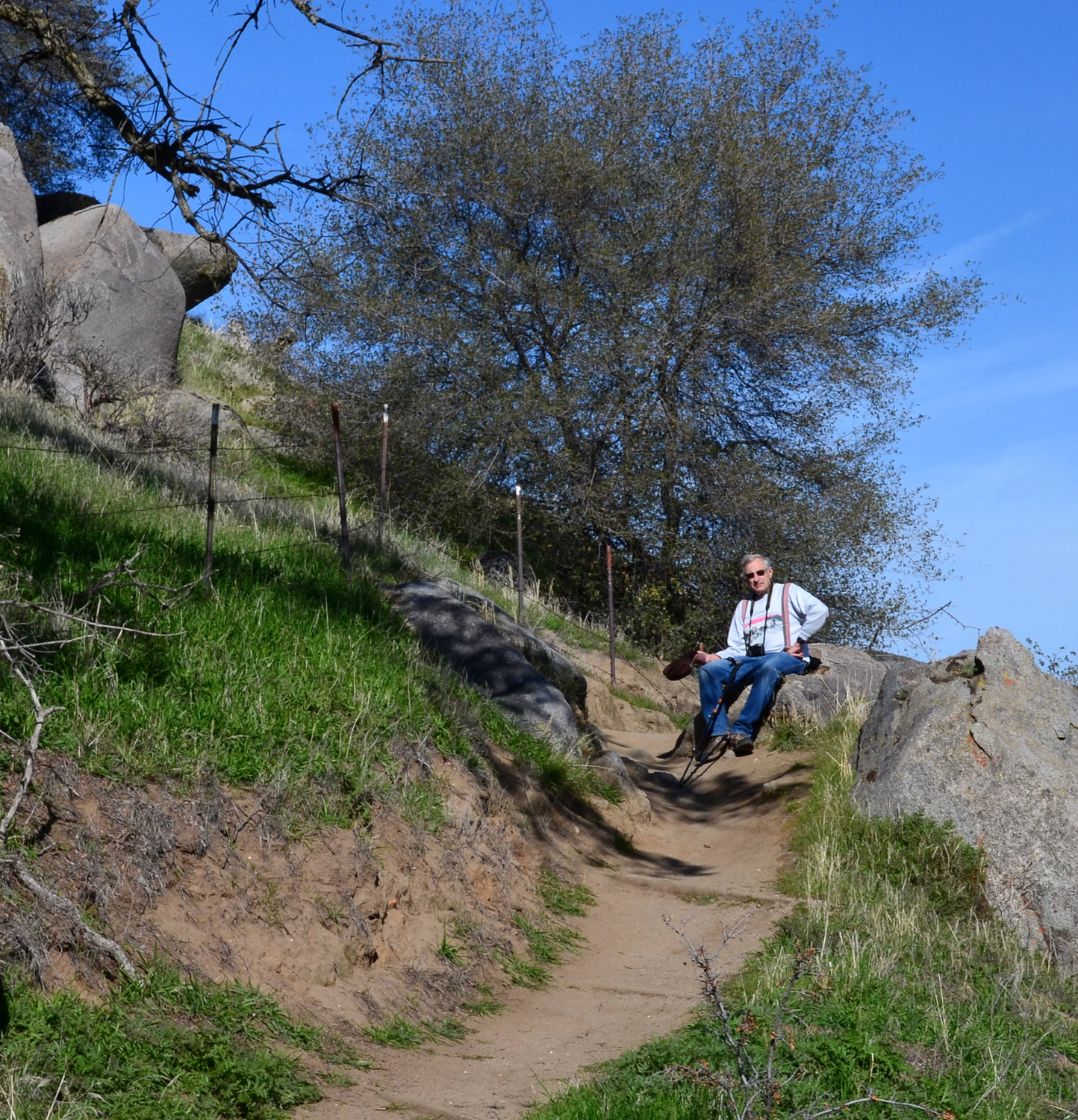
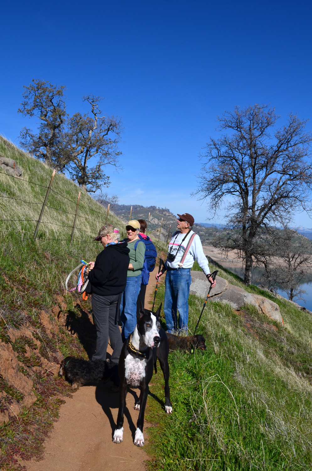
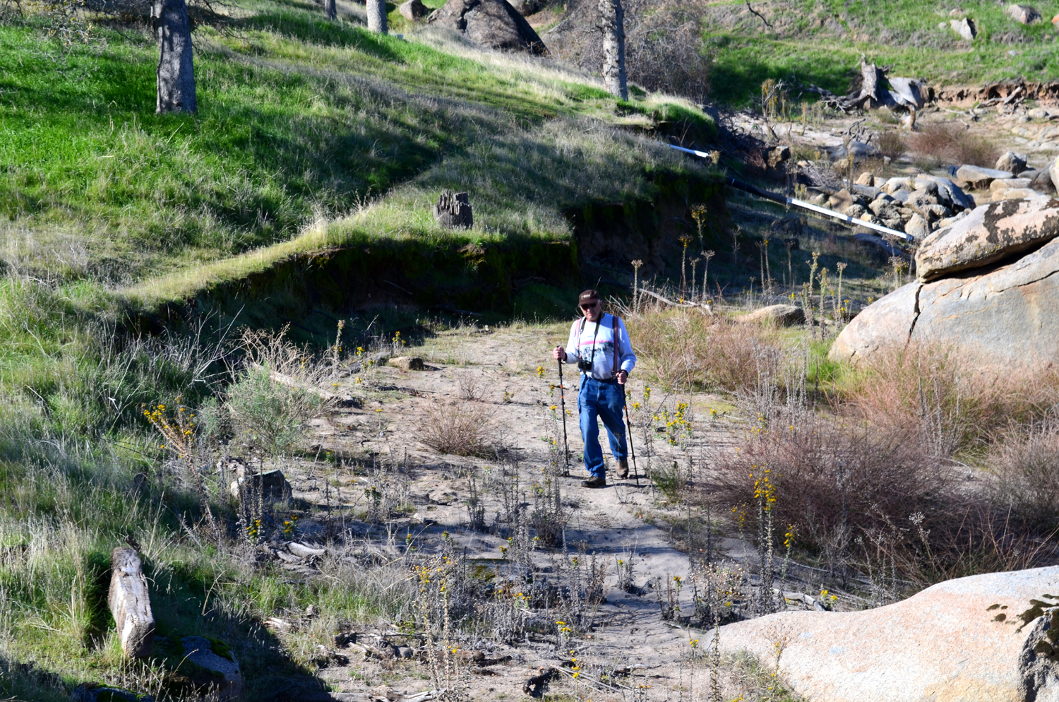
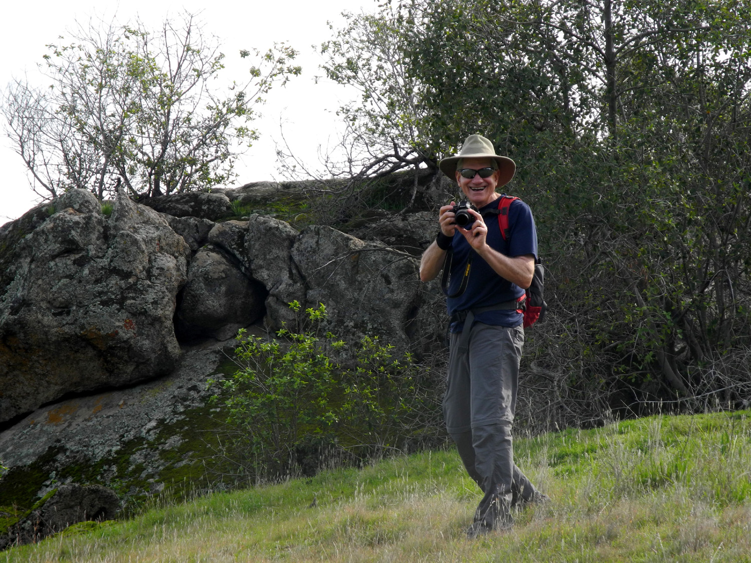
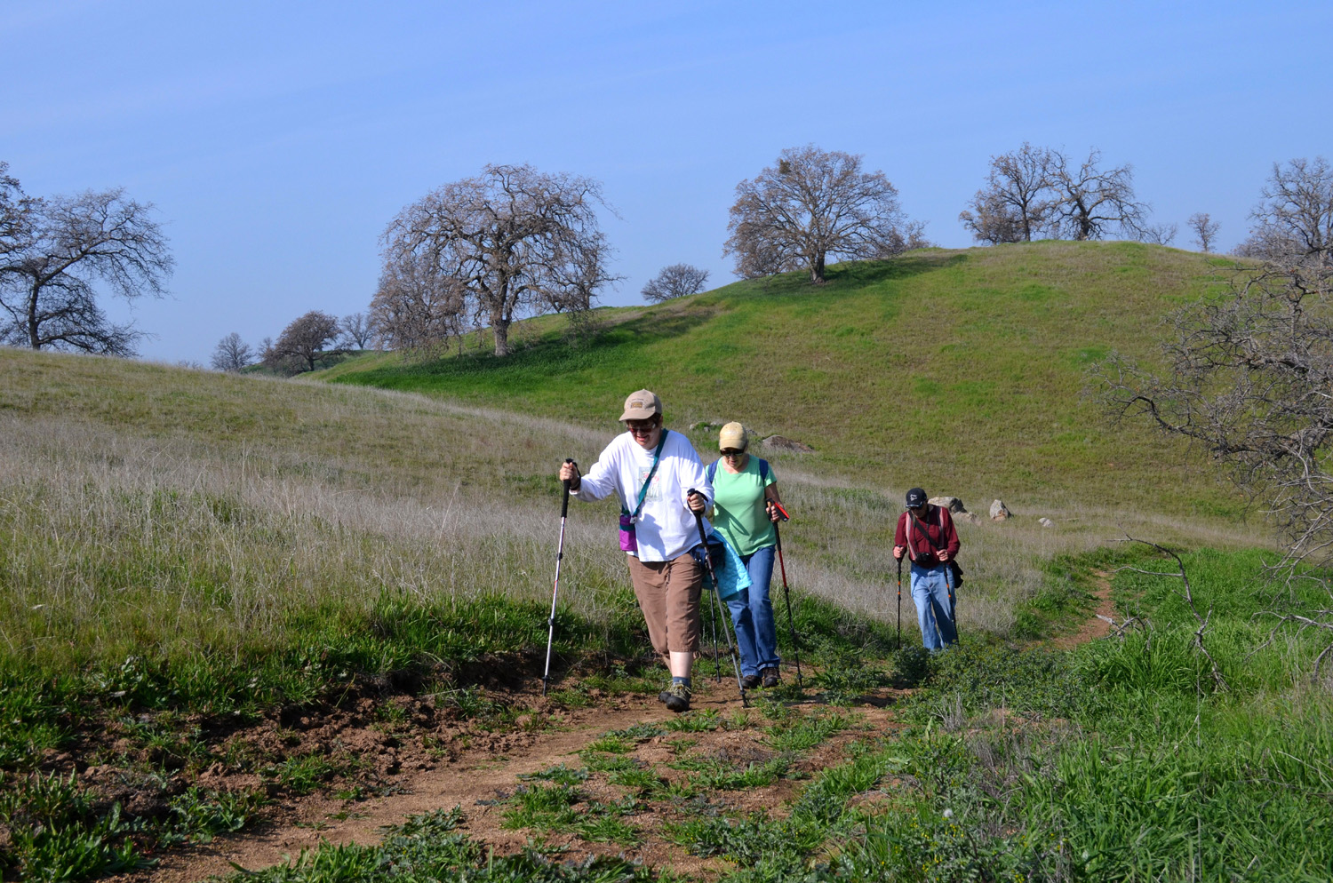
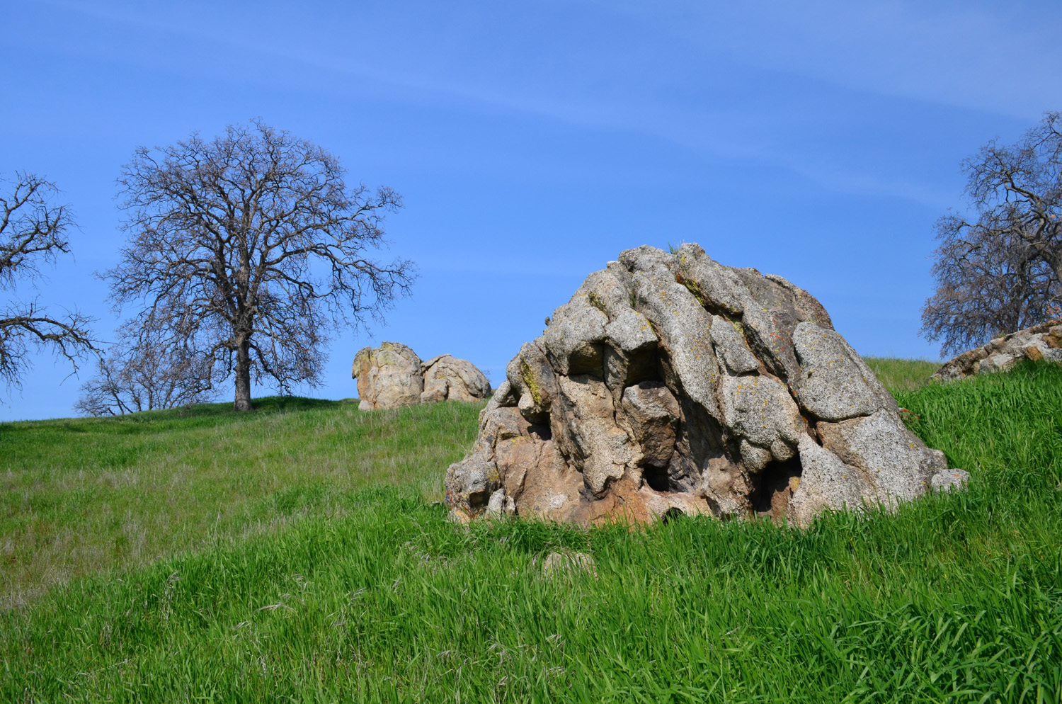
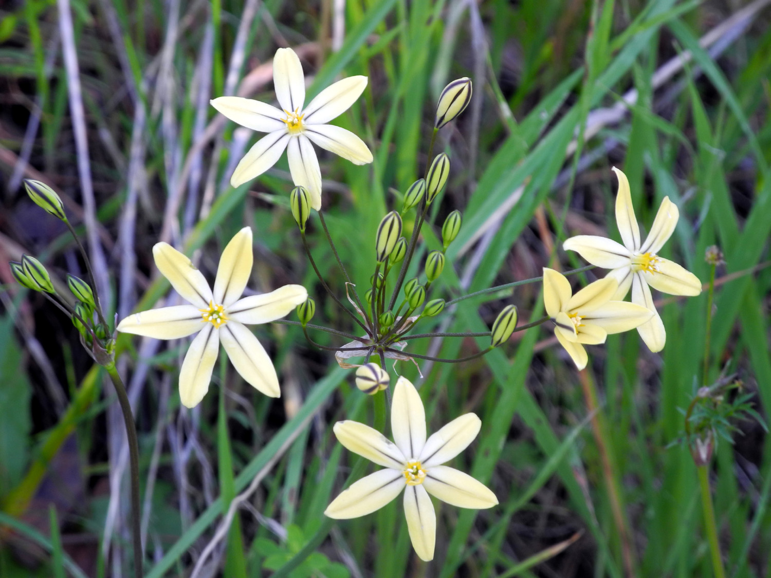
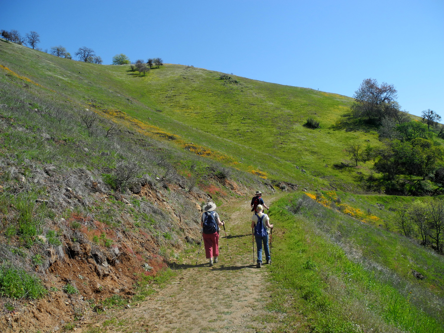
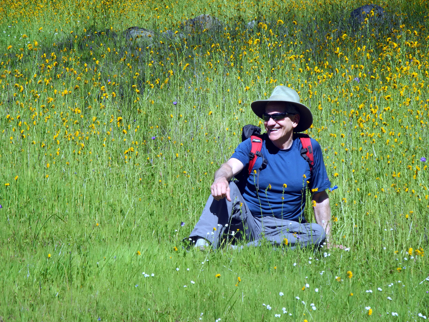
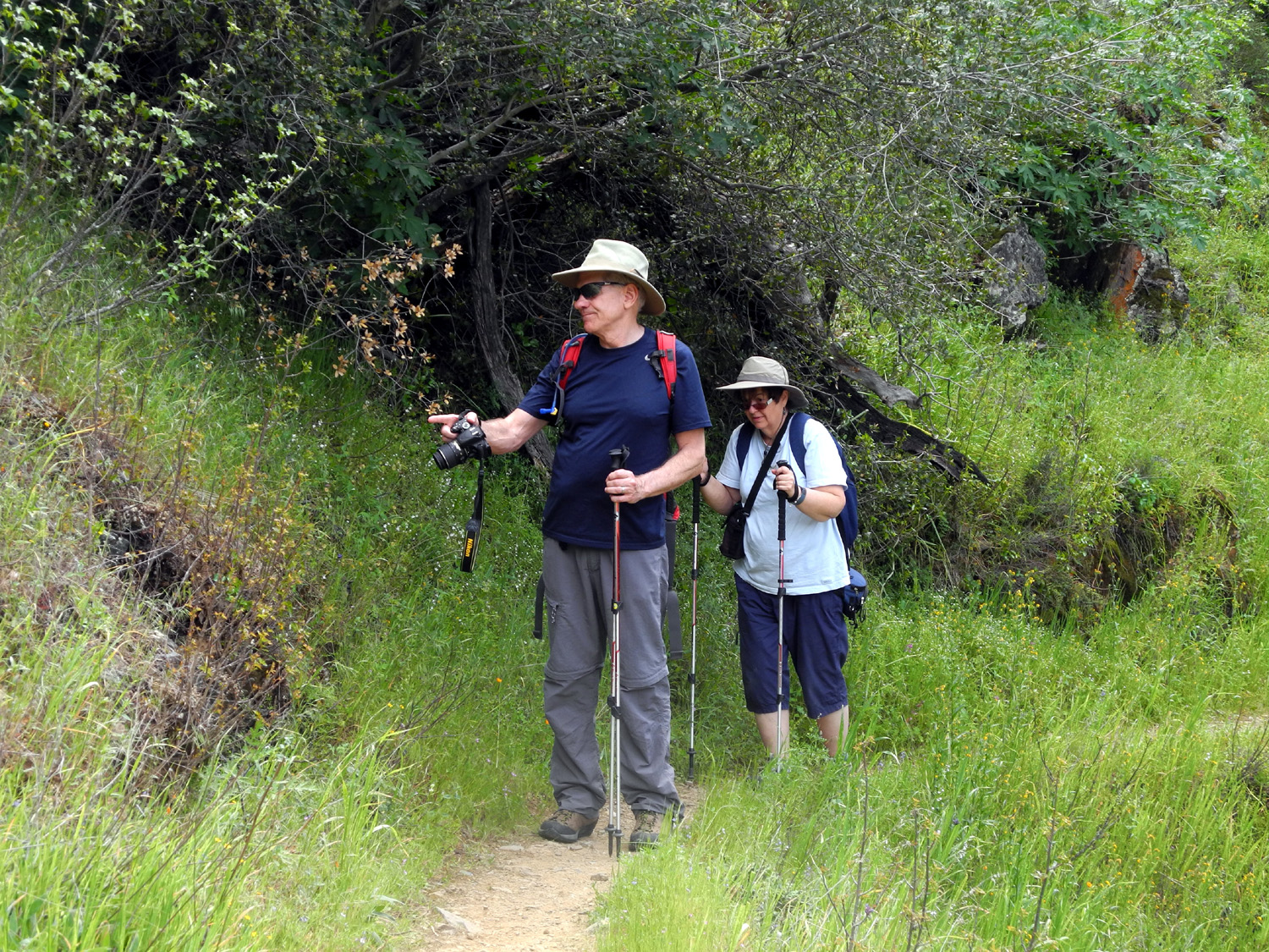
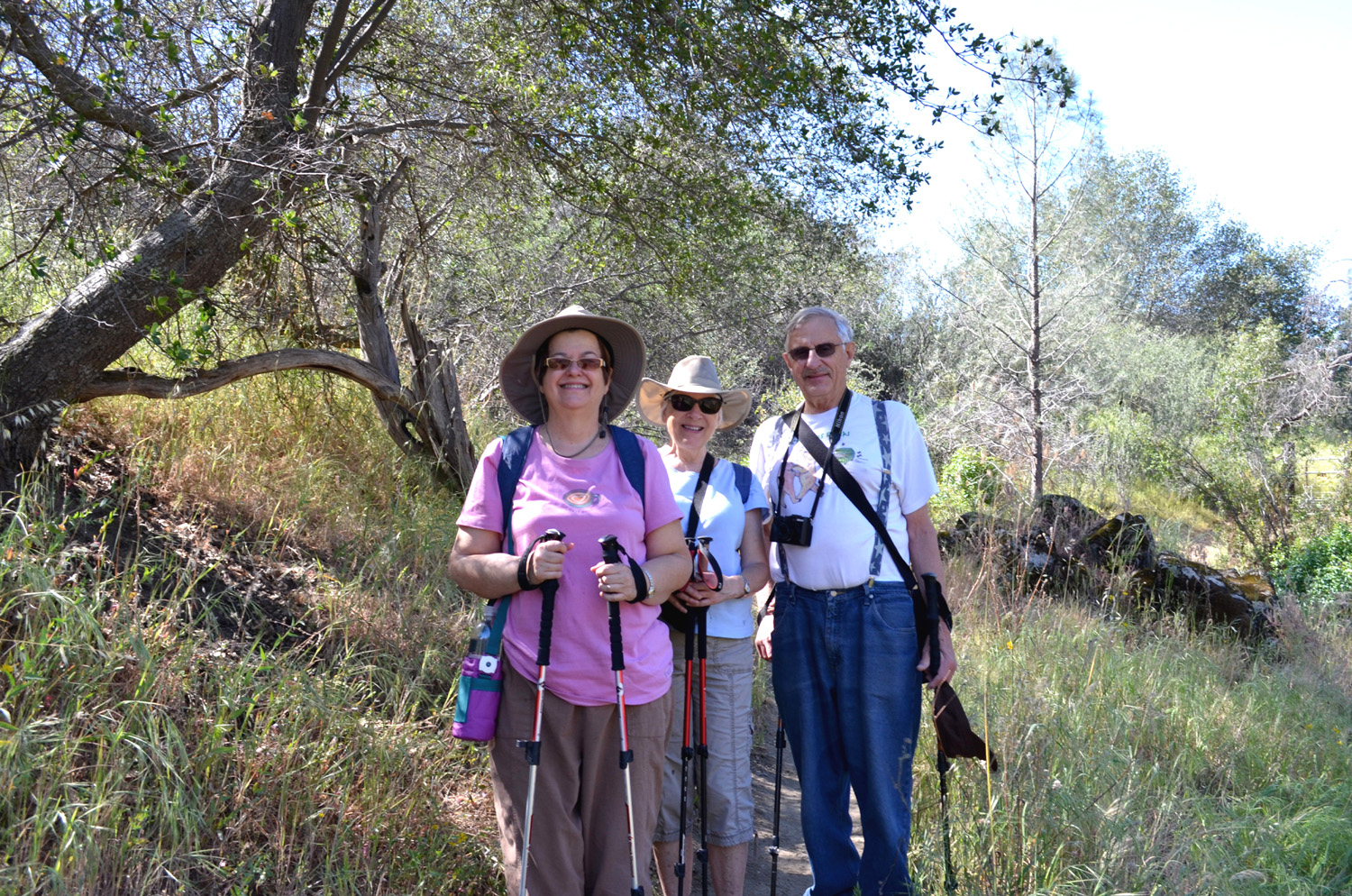
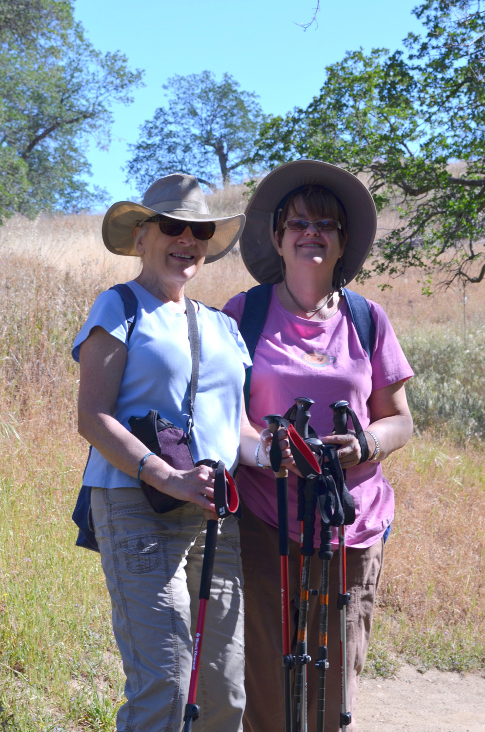
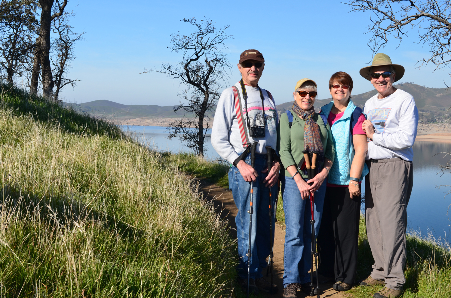
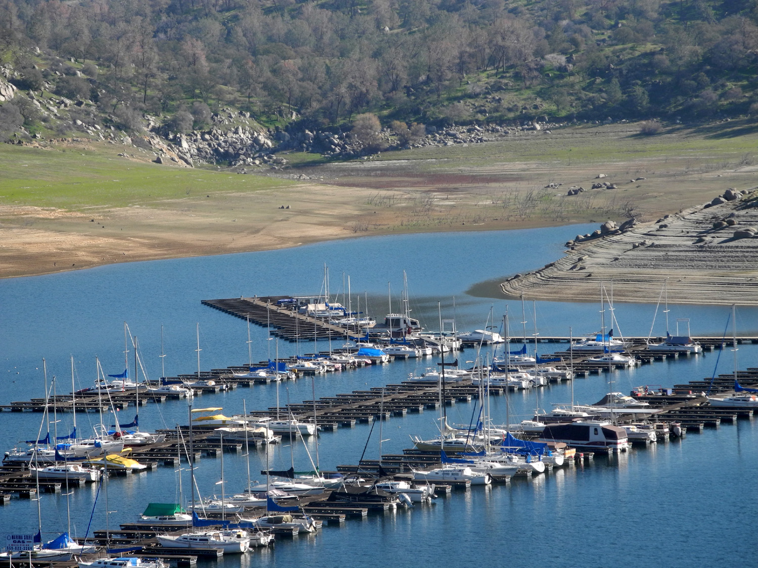
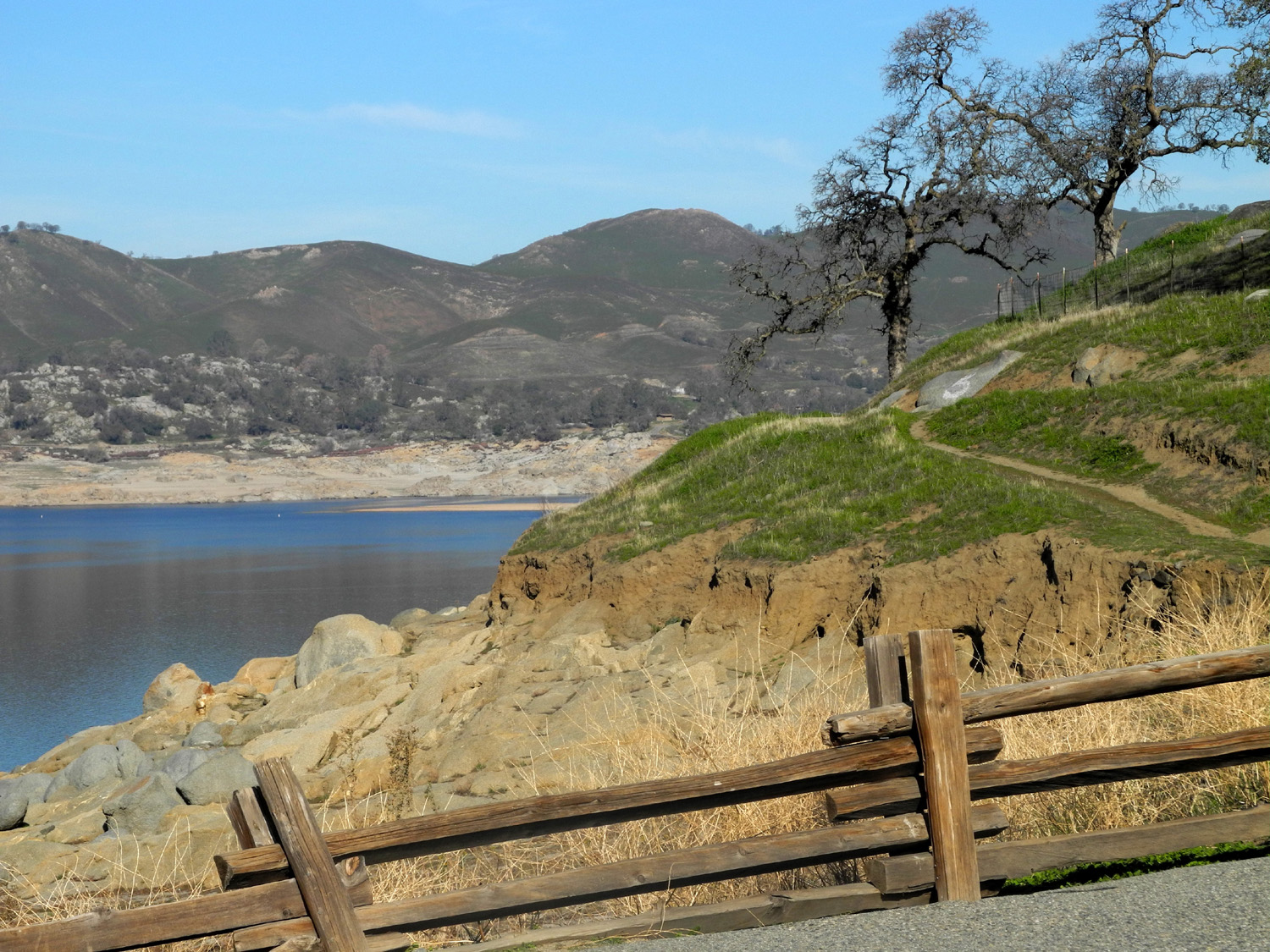
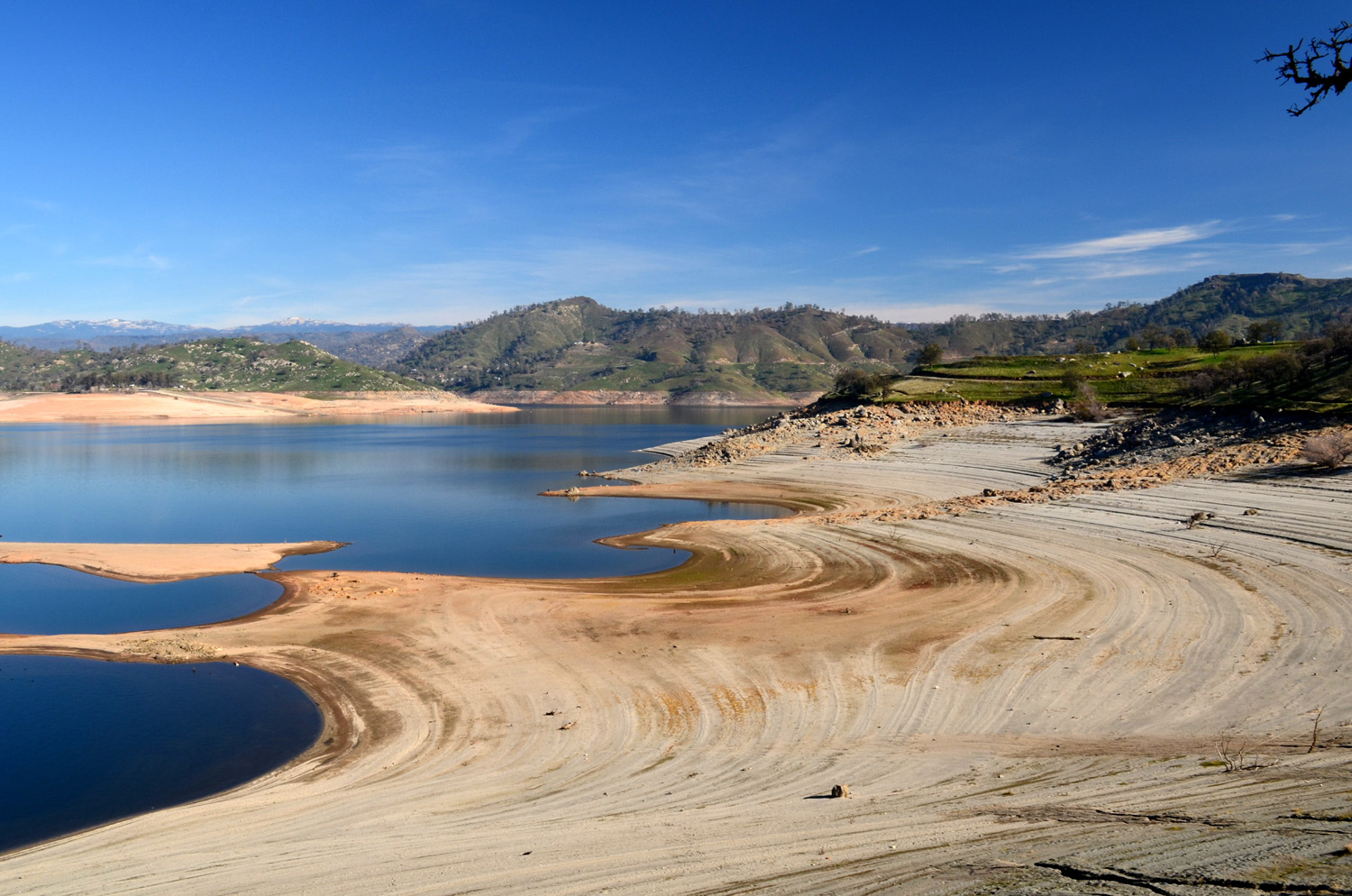
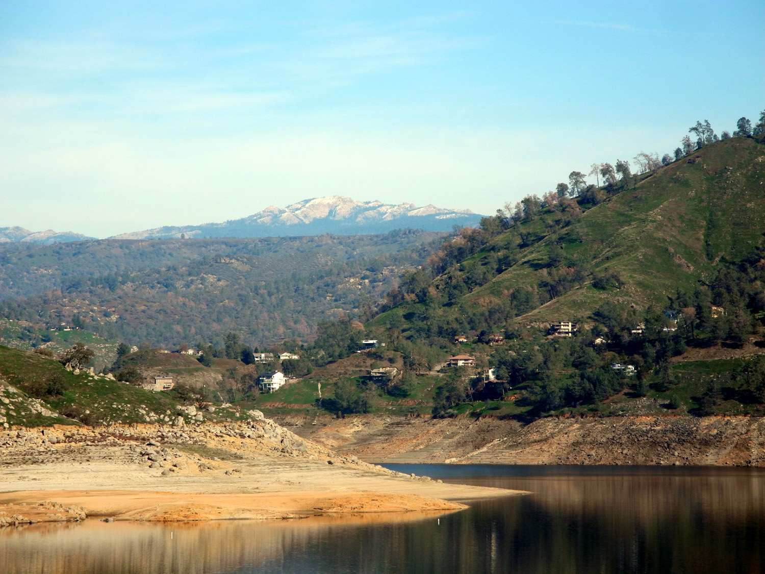
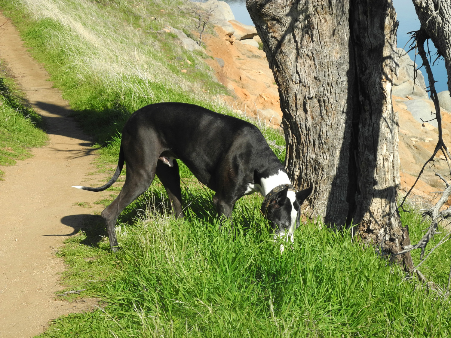
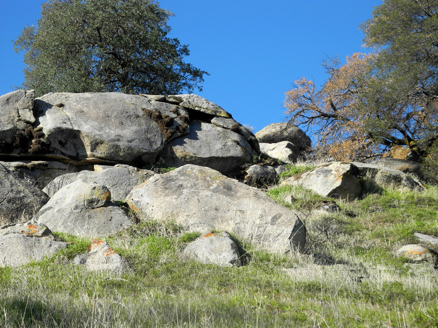
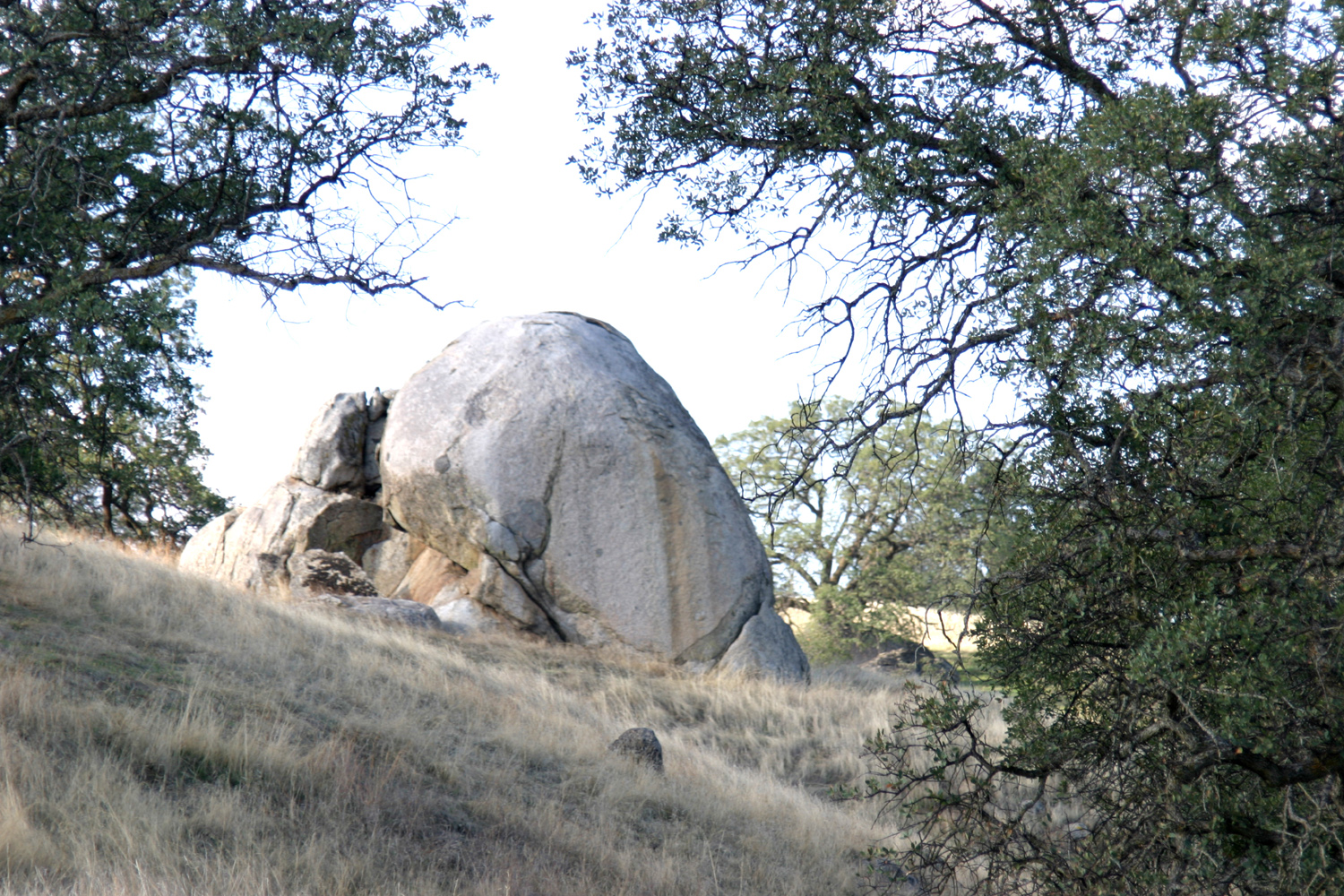
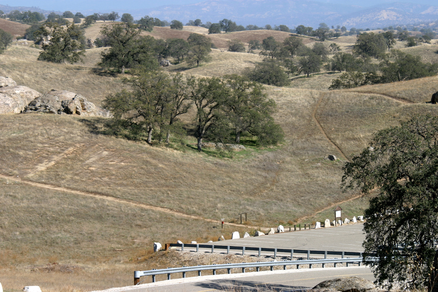
Millerton South Bay Trail The South Bay Trail at Lake Millerton has a lot to offer. Of course, there are always views of the lake, plus the foothills nearby and the Sierra Nevada in the distance. It's a relatively easy walk, with just enough up and down to give various muscles a workout. Taking advantage of this hike on January 5 were the Ramblers - Carolyn Amicone, Julie Hornback, Wes Thiessen and me, Dick Estel, marking our fifth hike together. I was the only one to have hiked the trail before, going in January and April. For those hikes, I parked at the South Bay picnic area, walked the trail until I felt like I had done half a hike, then re-traced my steps. But the trail actually goes all the way to Winchell Cove, a total of about three miles, so we implemented a common strategy - a vehicle at both ends of the trail so we could walk the entire length and still keep our total mileage within our abilities. Carolyn came to my condo, while Wes picked up Julie at her house, then joined us, and we drove in a two-vehicle caravan out of Clovis to Auberry Road, turned left on Millerton Road, then found the WInchell Cove Road to our first stop. Here we hit our first roadblock - literally. Within sight of the marina, there was a gate, and a machine that wanted a ten dollar bill. No problem - I dug in my wallet and came up with the money. Problem - the machine would have nothing to do with my offering, repeatedly spitting it back out. Even a fairly new, crisp bill was not accepted. There was a call box, so I pressed the numbers, again with no results. The exit gate was motion-activated, so Wes tried moving back and forth in front of it, waving his arms. Again, nothing happened. Then Wes pressed the call button numbers and we finally got a response. After explaining our situation, the attendant said he would open the gate and we could pay at the office. Once inside the gate, we went in and met a very friendly and helpful gentleman, who accepted our payment, answered our questions, and wished us happy hiking. As we left, we discussed whether they had captured Wes's "dance" on a security camera, and were enjoying a good laugh. We left my truck at that location, got in Wes's SUV, headed back out to Millerton Road, and drove the short distance to the South Bay entrance to Millerton State Park. Here another pay station willingly took another $9, which went into a drop box, with no gate to contend with. The actual trail starts just past this point, but the first mile and a half simply parallels the road and runs past large homes just outside the park border. We drove to the end of the road and started our hike at that point. From this point the trail runs very close to the edge of the lake, if the lake were full to the high water line. Due to several dry years, the water is very low, and far enough from the trail that it would take a strong, young athlete to hit the water with a rock thrown from the path. We did not have one of those with us. On the other hand, the low water reveals rock formations and stumps along the way, and some interesting patterns in the sand. There are always sections of the foothills visible, and to the east we could usually see some of the mountains of the Sierra Nevada. Most of the time we were looking at Shuteye Peak, an 8,000 foot dome, and the rocky ridge that extends to both sides of it. A week or so ago Shuteye was covered in snow, but a lot had obviously melted, leaving just large patches of white on the mountain. I realize that while we were hiking, much of the country was shivering in below freezing weather. In the central Sierra foothills, the calendar does not mean much when it comes to seasons. This is pretty much the de facto beginning of spring, and consequently we enjoyed new green grass and plants, trees starting to leaf out, and even a couple of species of flowers. By early February we expect to see quite a few wild flowers, and I did notice the plants that will produce these were off to a good start. The temperature was what we consider cool, around 50 when we started out, but warming up as our hike progressed. By the time we reached the end of the hike, it was getting quite warm for hiking. I was wearing a long-sleeve t-shirt and sweatshirt, and the others had equivalent protection from what was technically an early winter day. Our wild life viewing was limited to small birds and ground squirrels, but we did learn where to spot the eagles that are known to frequent the area. About half way through our hike we met a large dog, his two small companions, and his owner, a lady who is a frequent hiker in the area. Close to where we met her there is a blue oak about 50 yards up the hill from the trail that is known to be a perch for eagles. She showed us a magnificent photo on her cell phone that she had taken at that very spot on a previous hike. Overall this is an easy trail, with smooth going most of the way. There are slight ups and downs, just enough to ensure that different muscles get a workout. However, the last quarter is slightly more rugged. As the route goes into the cove, the hills above the trail are a bit steeper, and the trail has a few rocky sections where you have to watch your step a little more carefully. But most trails we've taken are more challenging. On the other hand, following the entire route makes it long enough that we all felt we had a good day's exercise. This moderately "difficult" section also meant we were getting close to the end, and before we knew it we walked into the parking lot where my truck was waiting. We drove back to our starting point where Wes and Julie switched to his SUV, then drove the short distance to the town of Friant, located on the river a short distance below the dam. We were headed for a restaurant that Wes was familiar with, Sandals at the Beach Grill, but it turned out to be closed on Mondays. Instead we went to the nearby Pizza Factory. This is a chain operation that started in Oakhurst, 45 miles up the road toward Yosemite. Their locations are almost all in small towns, and are locally operated. I've eaten at several of them, and recommend them highly. The sandwiches and pizza are all excellent, and everyone enjoyed their lunch. Once
refreshed and re-fueled, we headed back to the "big
city," thinking about where and when we would enjoy our
next ramble. --Dick Estel, January 2015 |
||
|
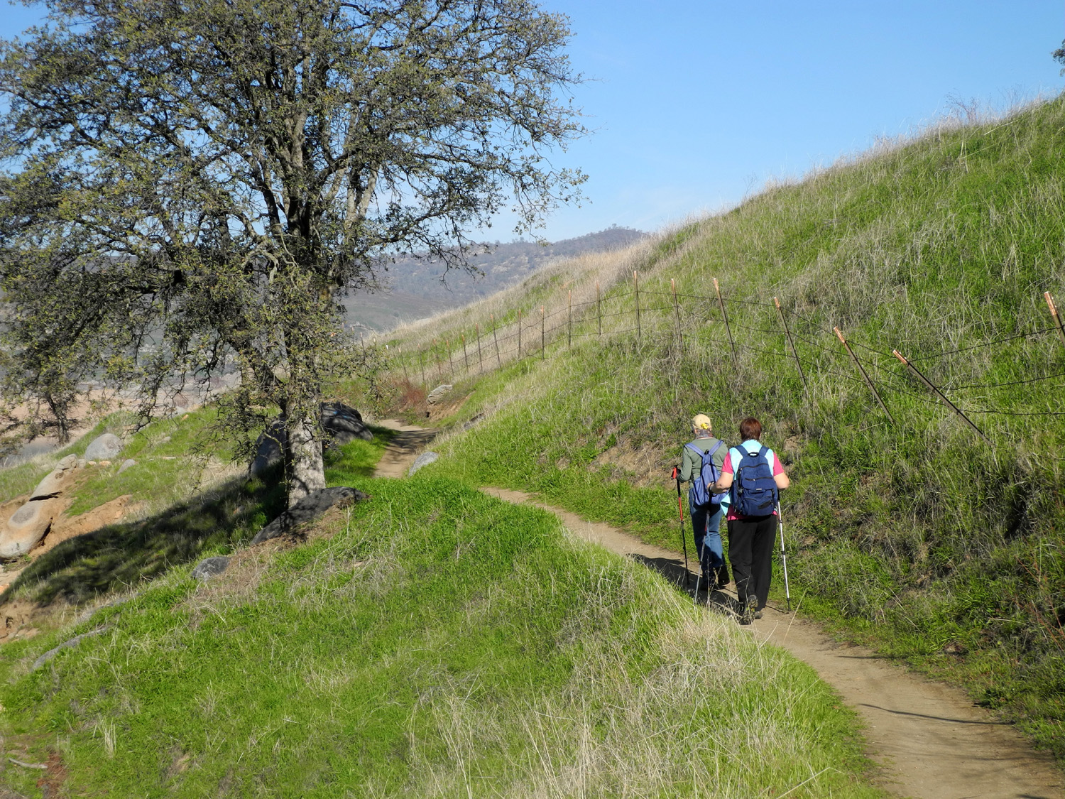
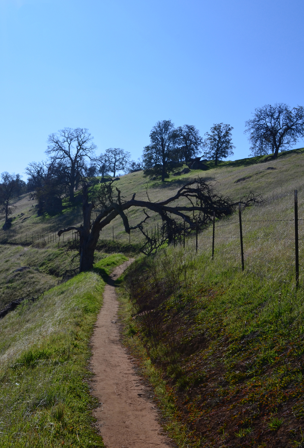
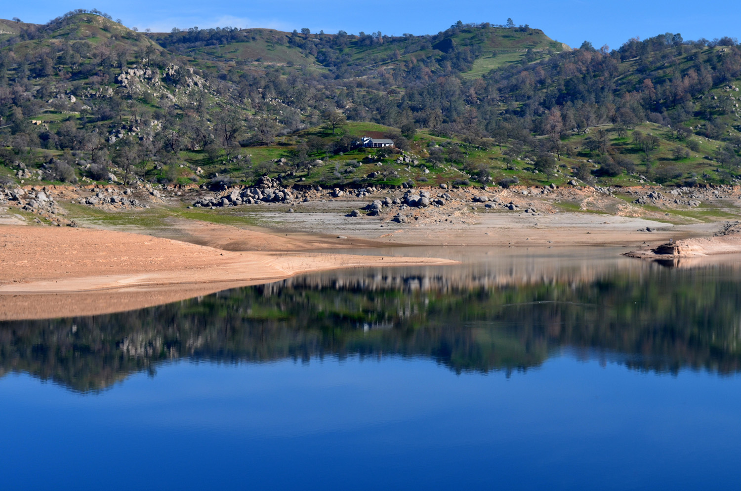
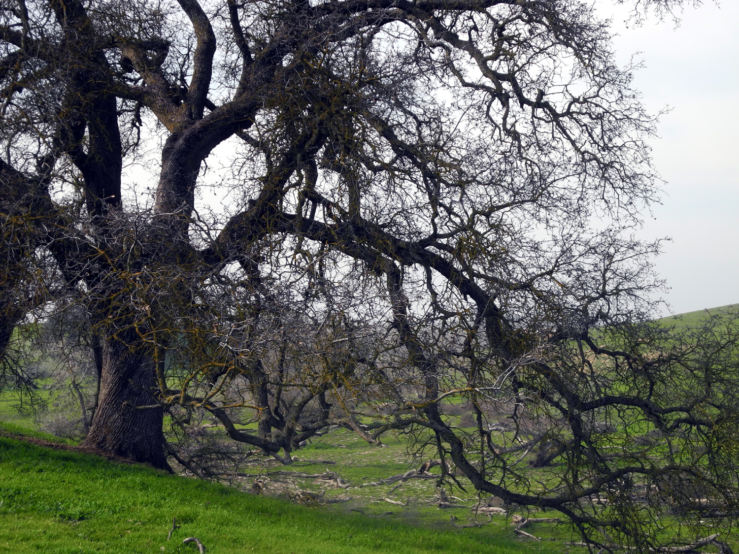
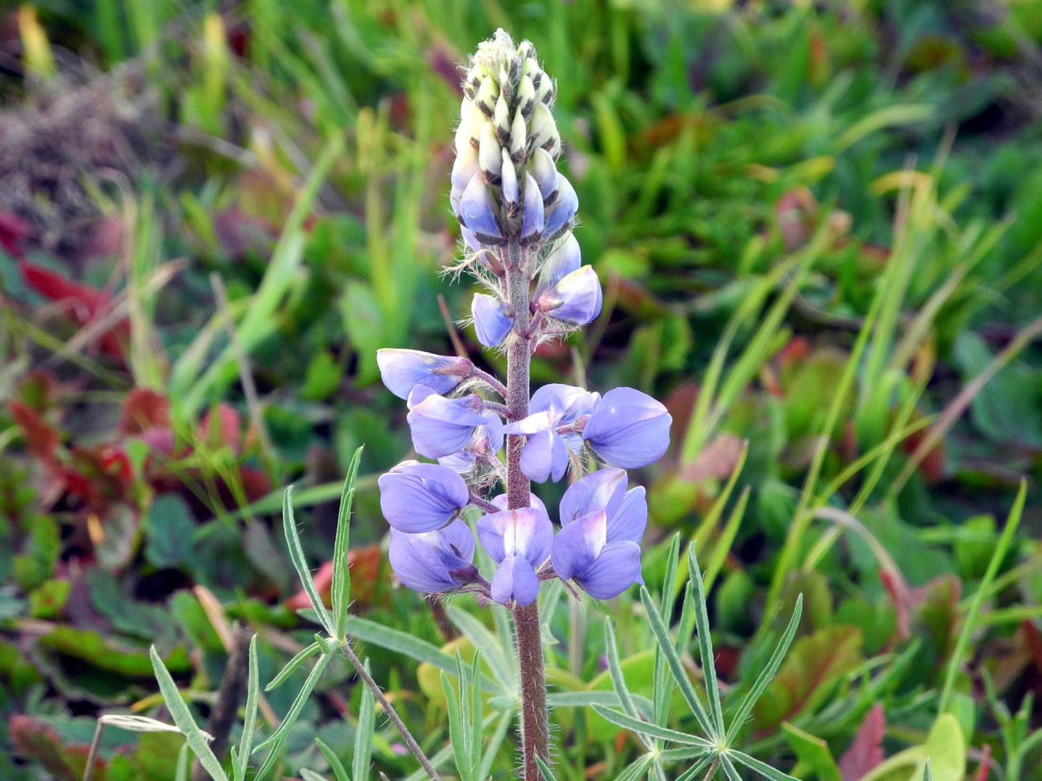
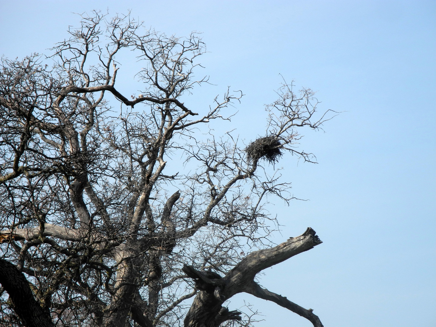
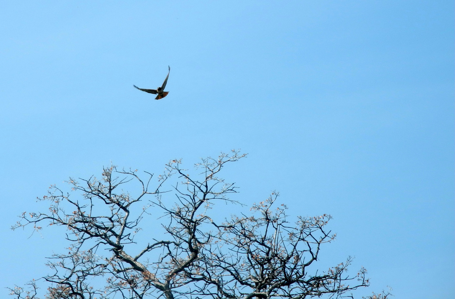
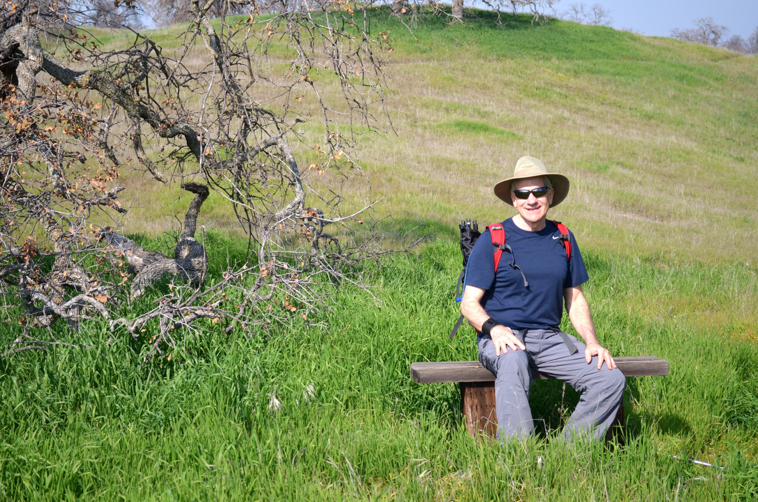
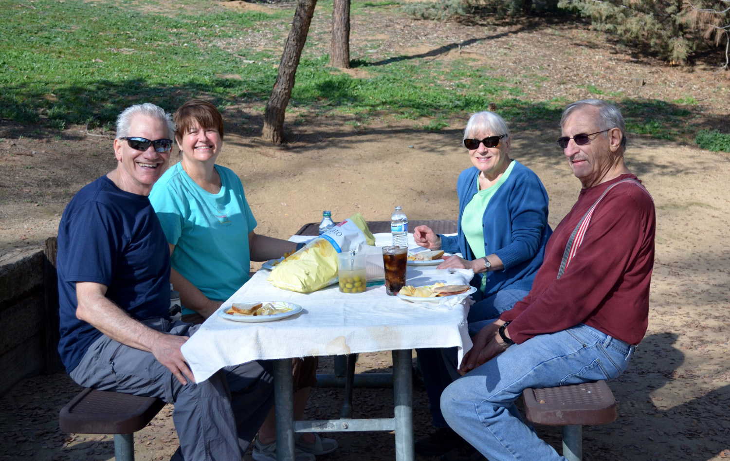
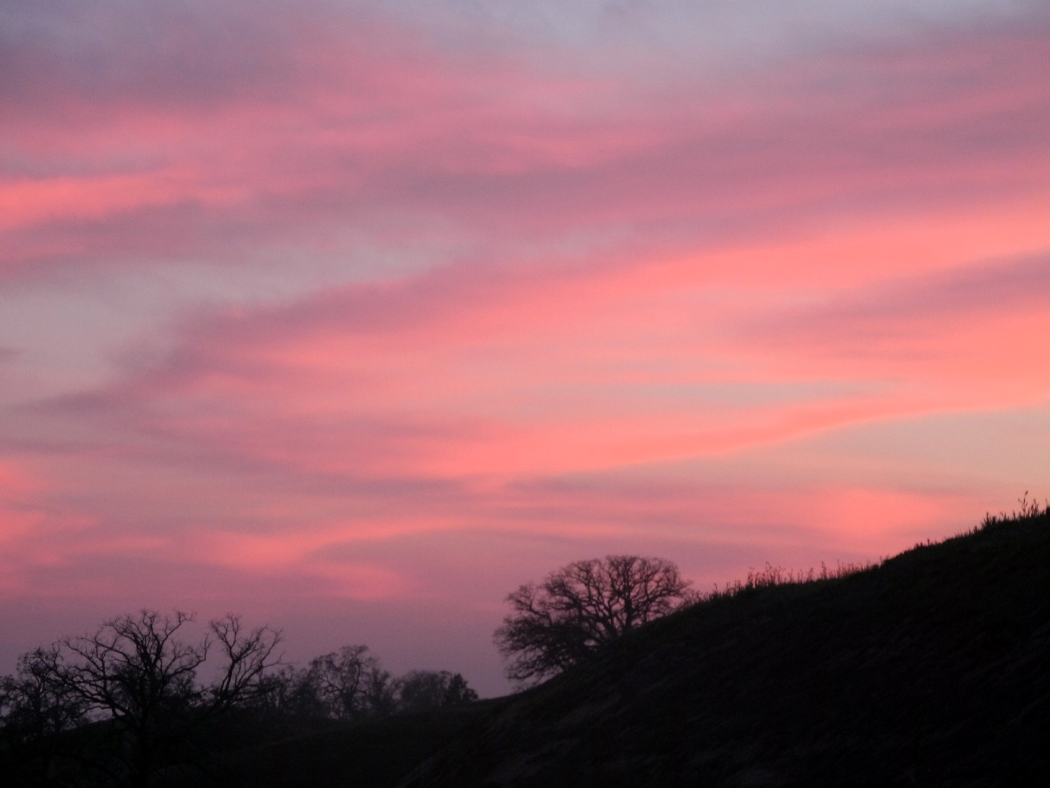
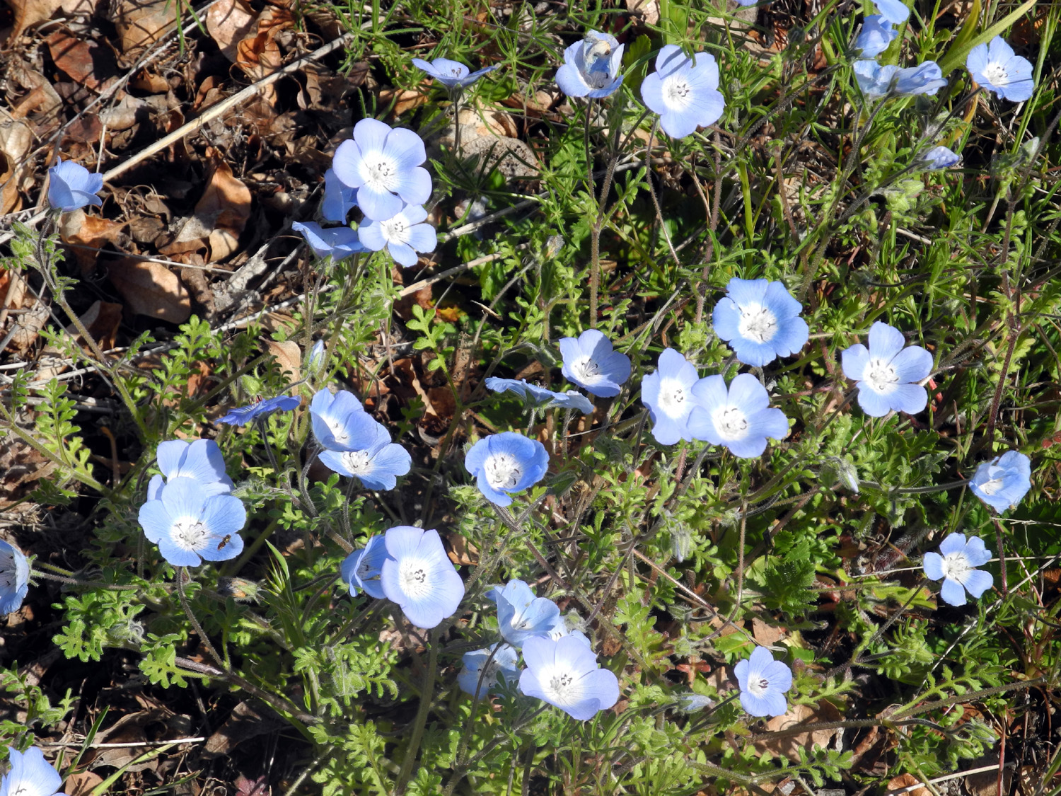
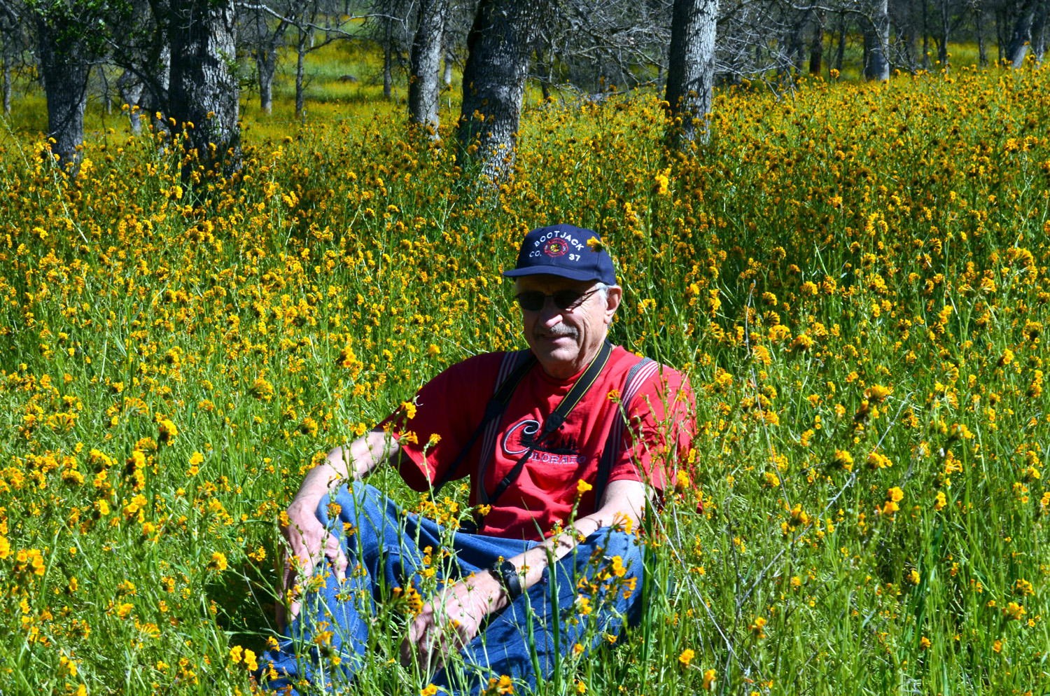
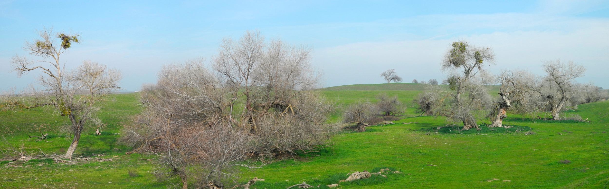
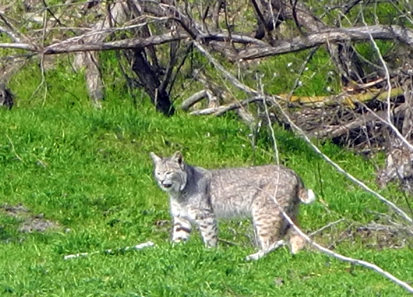
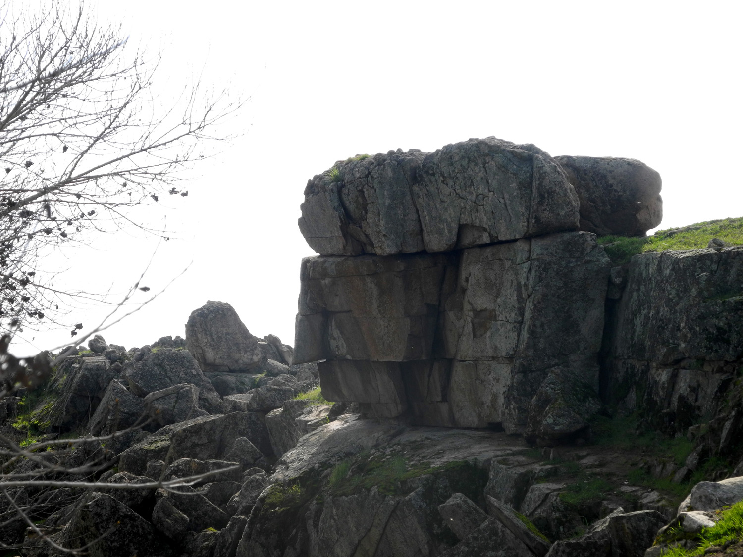
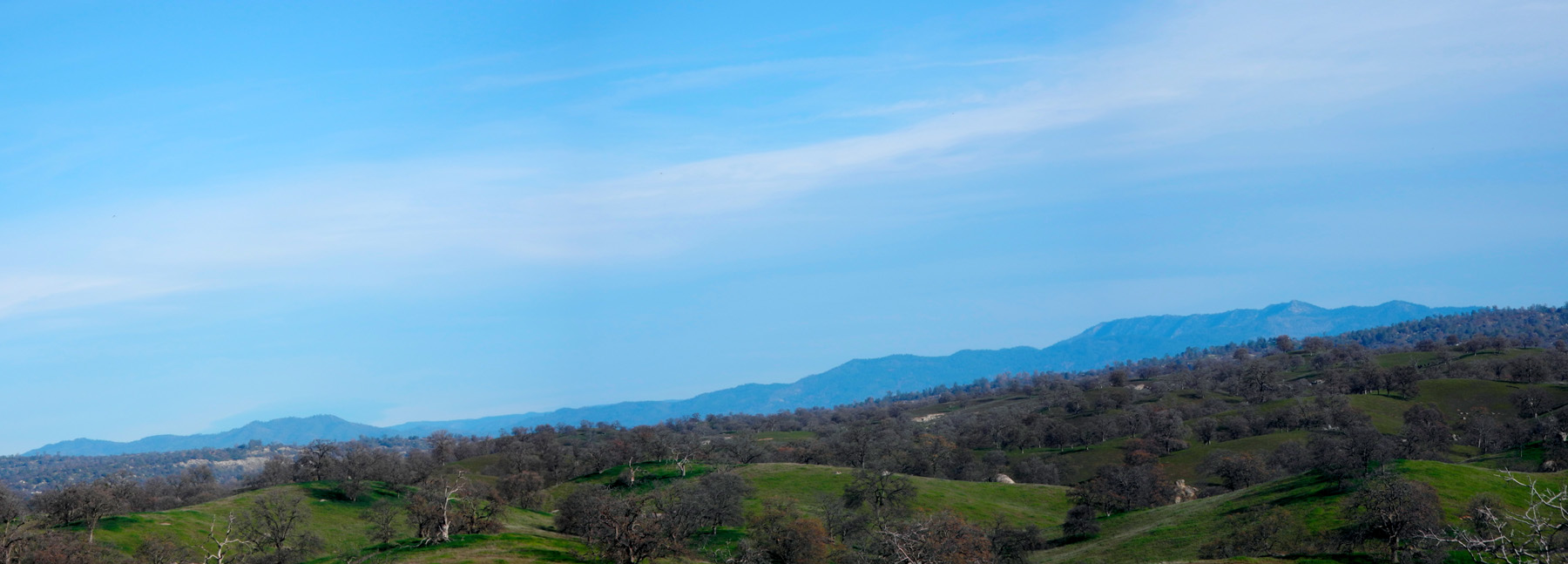
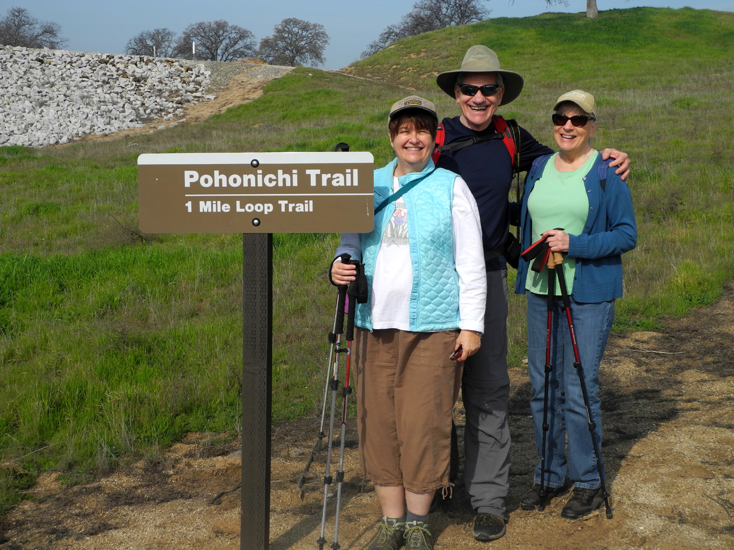
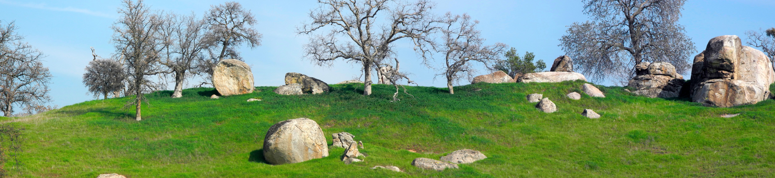
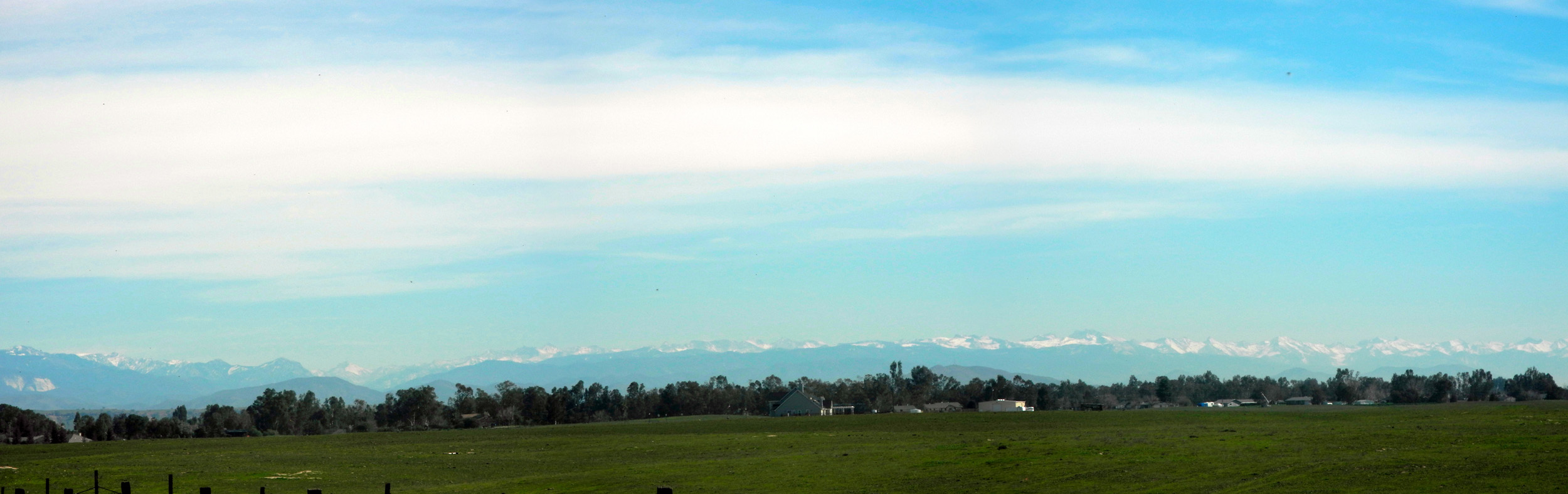
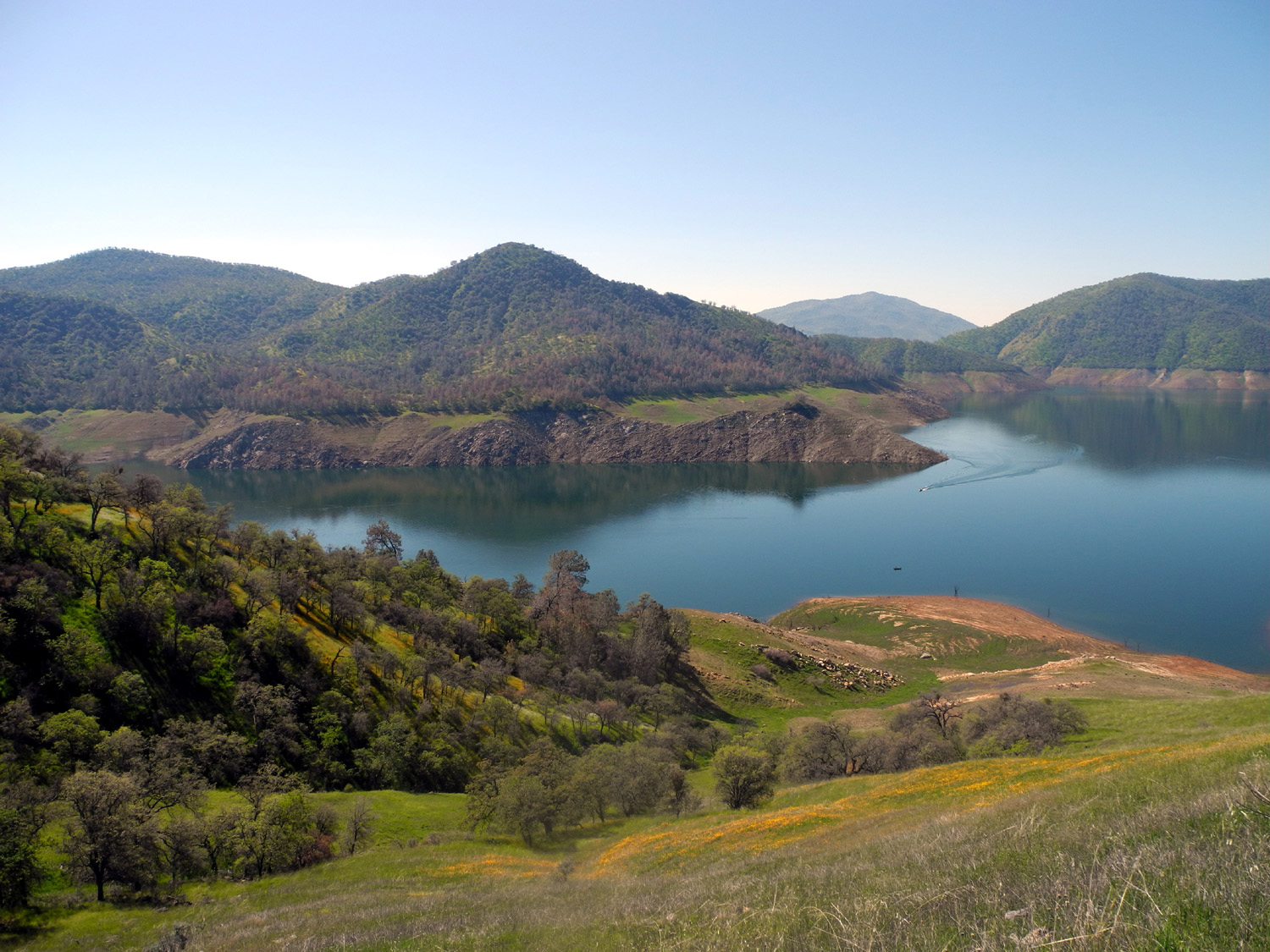
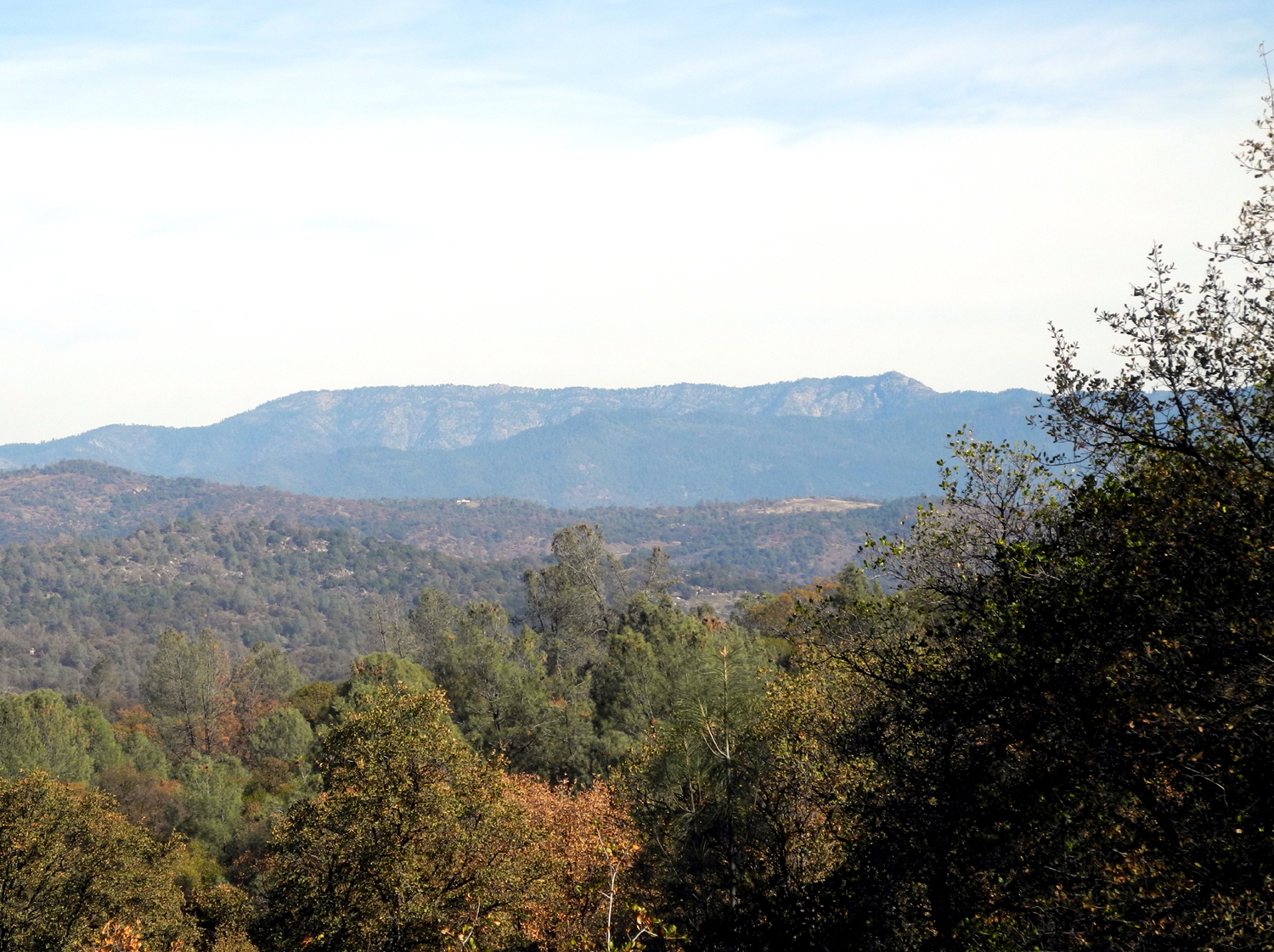
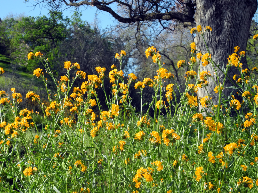
Hensley Lake Camping and Hiking Every year I try to go camping at Hensley Lake at least a couple of times, and sometimes more. It's located on the Fresno River, in the foothills of Madera County, about five miles south of Raymond, an area that offers green grass, oaks and pines, and low elevation hiking for winter enjoyment. This year, in consultation with the other members of an informal hiking group, I arranged to combine a camping trip with the next Ramblers' hike. I made reservations for February 2 through 4, and would drive the 40 miles from home on the 2nd in my motor home. The others would come out for hiking on the 3rd. Repeating what has happened several times, this trip was actually scheduled for two weeks earlier. However, the forecast began showing rain for our hiking day, so we wisely changed the date. This time we were expecting mostly sunny weather with highs close to 70, which proved to be accurate. On Monday I got up at my usual time (whenever I get around to it), had breakfast, and took the refrigerated items and last minute stuff to the motor home, getting on the road around 10:30. We've had enough rain to get the grass growing good, both in the open fields of the valley and the wooded foothills. Once I got off the state highways (41 and 145) on my route, I found myself stopping to take pictures several times. I've taken a few along the way before, but bypassed some nice scenes that I decided to capture. These included fields of wild mustard in bloom, some very picturesque areas where the road goes by a dry creek bed lined with ancient cottonwood trees, and some interesting rock formations. It was near one of the latter where I had one of my best and luckiest travel experiences ever. As I got out to take photos of the rocks, I noticed an animal in the creek bed on the opposite side. It was obviously a cat, and from the distance I knew immediately it was too big to be domestic. A glimpse of a short tail clearly identified it as a bobcat, the first I've seen in many years, and maybe the only one I've ever got a good look at in daylight. He was slowly making his way through the grass, surely aware of me but not at all concerned, and I took several photos and a short video. As I set the camera for the video he stopped and looked at me, and for a few seconds we both waited to see who would make the next move. He finally continued his stroll, I pressed the shutter, and within ten seconds or so he was out of sight in a low spot in the terrain. He was far enough away that he appears very small in my full size photos, but my camera takes high quality pictures, so I was able to severely crop the picture and make him bigger. Once the excitement of my wildlife encounter was over, I stepped across the road and photographed the rock formation that caused me to stop in the first place. Of course, I named it Bobcat Rock. I finally arrived at my reserved camp site at noon, to be greeted by two hawks flying low overhead. I got set up and started my explorations by climbing up a hill behind my camp. Although a glance around made me think that the only wildflowers out were fiddlenecks, by the end of my walk I had seen seven different species. Two of them were limited to a single blossom, most were very sparse or very tiny; only the fiddlenecks could be said to be out in profusion. Still, it bodes well for a good wildflower year, with a number of small but regular rain storms to water the land, and more rain due at the end of the week. On the other hand, there has not been and probably will not be nearly enough rain to fill the lake, which was lower than ever. That's a mixed blessing. Since it's not very inviting for boaters, I had the place mostly to myself the whole time I was there. After making a mental note of all the flowers I saw, I went to the very top of the hill, where there is a good panoramic view of some of the lower peaks in Madera and Mariposa Counties. I continued down the hill toward the entrance road, and started up the half mile Shaw'-Shuck Trail, which goes up a hill, across the ridge, and back down to the starting point. Instead of completing the loop, I made my way down toward the road in a different direction, scaring up two rabbits which dashed from one safe spot to another. Back at camp it was time for a drink, dinner and a nap, plus of course lots of reading. I sat outside fairly late, reading on the iPad when it got too dark for the traditional method, then went inside to watch some TV. Then began one of several frustrating experiences that took some of the "shine" off my trip. When I turned on the TV and DVD, the color of the startup screen was badly distorted, and this carried over to the DVD picture. I had not intended to spend quite so much time reading, but that and playing the guitar were my only choices, and I usually play only three or four songs. However, by bedtime I got pretty far along in the book I was working on. (The next night the TV worked fine for two shows, then acted up again. I checked it the last morning, and it seemed OK, but I didn't watch any shows, since I was in the process of getting ready to go home.) Normally I start the day with a walk, but the next morning was Ramblers hiking day, so I skipped that and and had a light breakfast. I had time to wander around, not officially hiking, and was on the hill above camp when I spotted Wes's SUV turning into the campground, so I walked down to greet Julie, Carolyn and Wes. It's over a quarter mile cross-country from my campsite to the Pohonichi trailhead, but we could have had Wes drive over there. Of course, when I'm there by myself there is no question about what method to use, since I don't do any casual driving in the motor home once it's set up for camping. We all agreed that the extra walk would do us good, and set out across one of the roads that leads to a boat ramp, down a grassy hill to a section of the lake bed (bone dry for several years), and up to the trailhead. The trail starts right out with a moderately steep uphill stretch, but in the central California foothills you never go up or down very long before it's time to go the other way. Not far past the first hill there is a large granite rock formation to the right, perfect for one of our traditions - Wes clambering up to the highest point of a rock to have his picture taken. This time it was slightly more adventurous than usual. The top of the rock had a section that had started to decompose, and if you're familiar with decomposed granite, you know it consists of slippery, rolling pebbles. Wes was careful, and returned unharmed. I've been on this trail several time, but it was new to the others. I pointed out features I've named, particularly Dome Rock, a big granite outcropping that has a pronounced dome shape. Of course, it was not formed in the same way as the large domes that appear in the higher mountains throughout the Sierra. Past this spot the trail curves to the right and makes a gentle climb across the side of a ridge and over the top, then continues its up and down ways over another couple of hills. It was in this stretch that we spotted a large nest in a nearby oak tree. Around the same time a redtail hawk appeared overhead, but whether there was any connection we did not know. Finally we reached the last hilltop, where the trail descends to the original starting point. Of course, we still had the quarter mile or so cross country trek back to camp. As soon as we got to my camp we went up the hill to check out of the view of the mountains, realizing that if we stopped to rest we would not be able to make ourselves do even that short hike. Unfortunately the mountains were completely hidden by haze, but we enjoyed the walk, the flowers and the view of the campground. By previous arrangement I had brought cheese, meat and bread to make sandwiches, and the others brought chips, vegetables and dessert. So when we came back down the hill, we made our sandwiches inside the motor home, then sat at the picnic table and refueled after our "grueling" effort, enjoying the excellent weather. All too soon it was time for my guests to depart, and I had the entire campground mostly to myself. There had been a couple camping in a tent near me the first night, but they left before the Ramblers arrived. The only others there were a couple in a large motor home on the far side of the campground, out of sight. Later I took a short walk, going up on a hill to the east that I'd never been on before. Below it, and above the lake bed where we walked is a small forest of bush lupines - some dead, most with lots of buds, and a few in bloom, so I added one more wildflower species to the list. I went down and across the road to a rock formation I've named Rabbit Rock, because when I walk around it, there is almost always a rabbit or two. We had walked around it returning from our trip without seeing rabbits, but we went clockwise. This time I went counter clockwise, the way I've always gone when I saw rabbits, but they were still absent. In the evening I watched a couple of TV shows until the DVD player flaked out again, did a bunch of reading and some snacking, and got to bed around ten. With a noon checkout time, I was in no rush to leave the next morning, so I went up the hill by the camp. The view was what I had wanted yesterday, clear with all the mountains sharply defined. A bloody Mary, breakfast, and getting things ready to go filled the time till noon, so I got my full money's worth before heading out. My second frustrating experience came before I got to the main road. The camp has a dump station, and it is much more convenient to empty the holding tanks there than to do it where I store the RV. However, both drains were locked up, so I didn't get my full money's worth after all. Driving home on Highway 145, west of Highway 41, I had a spectacular view, with a vista stretching from Mt. Bullion, along Highway 49 north of Mariposa, to the Great Western Divide in Sequoia National Park above the Kaweah River. It made me eager for my next camping trip, and my next hike with the Ramblers.
As predicted, the highs were about 68. There were scattered clouds much of the time. Lowest temperature was 42 at 5:30 a.m. on February 4. Flower species: Popcorn flowers, lace pod, baby blue eyes, fiddlenecks, blue dick, lupine, bush lupine, filaree, miner's lettuce, fringed redmaids and some small, unknown yellow flowers that seemed to be turning to fluffy seed heads even before they were fully open. Two hawks were seen immediately on arrival, and another during our hike, along with several vultures. Two rabbits showed themselves the first day. At night ducks could be heard on the lake, and I believe I heard an owl. Of course, the bobcat was the big deal in this category. During my first walk I
found a dime in the road, reducing my net cost slightly. --Dick Estel, February 2015 |
||
|
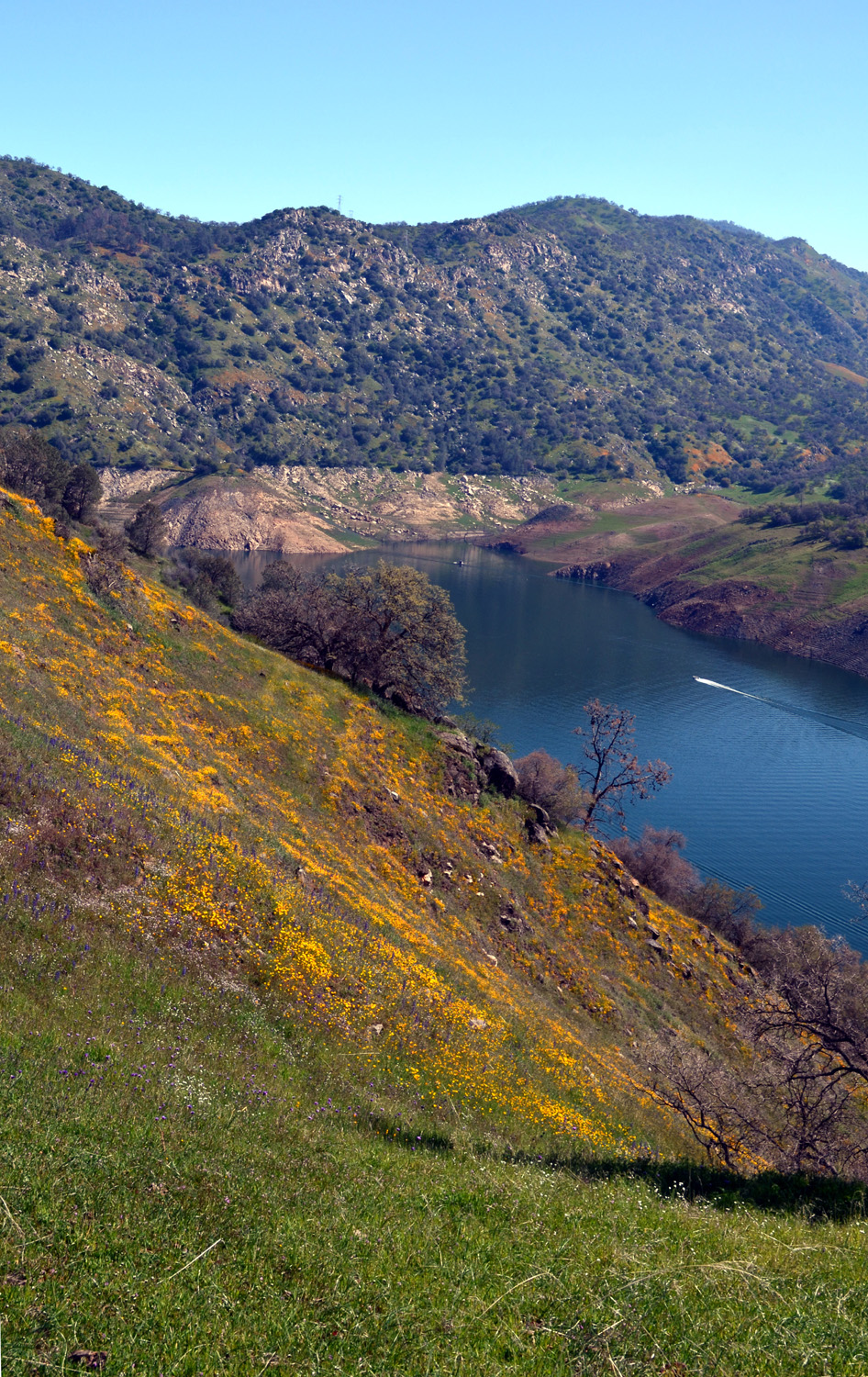
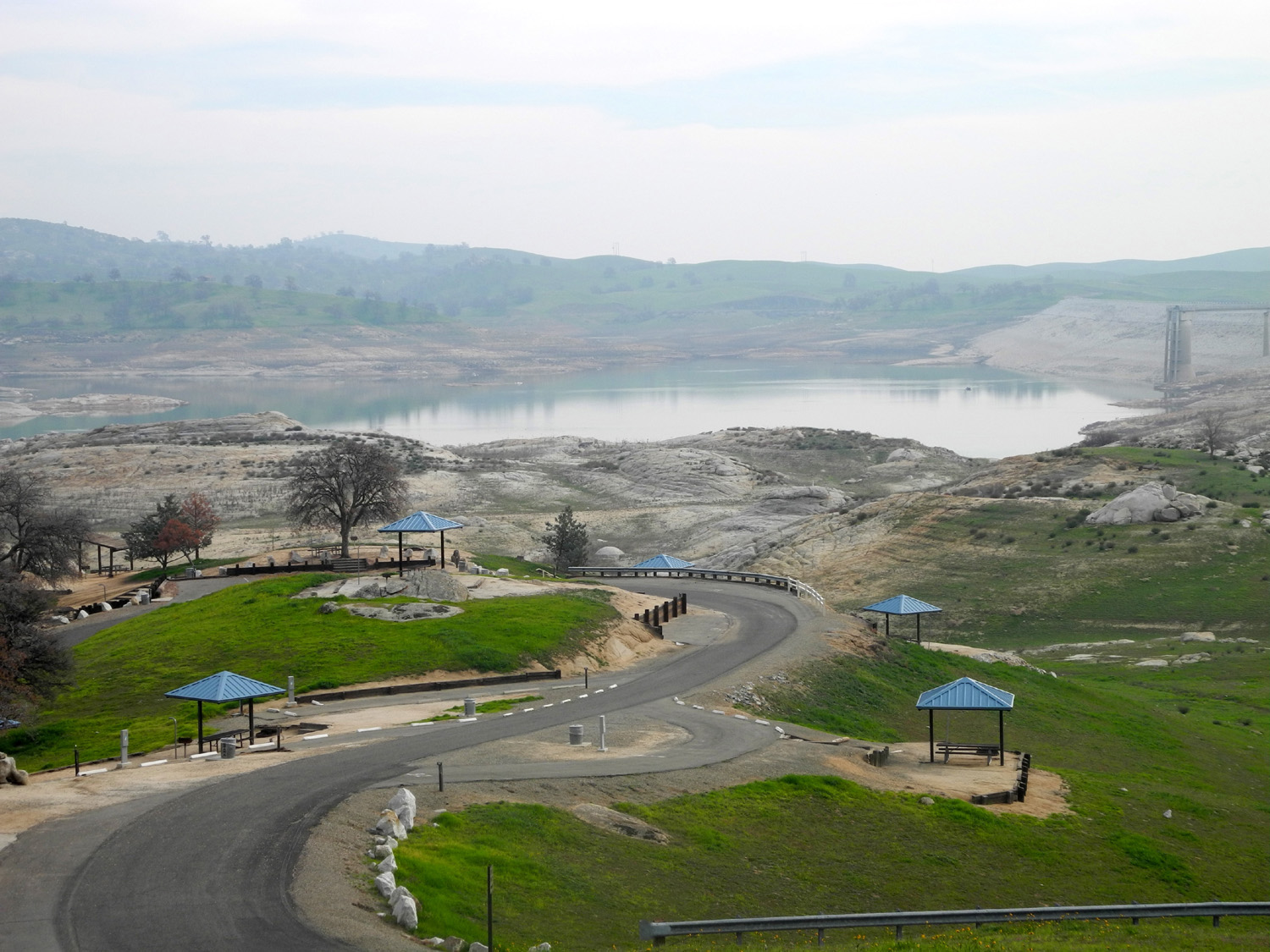
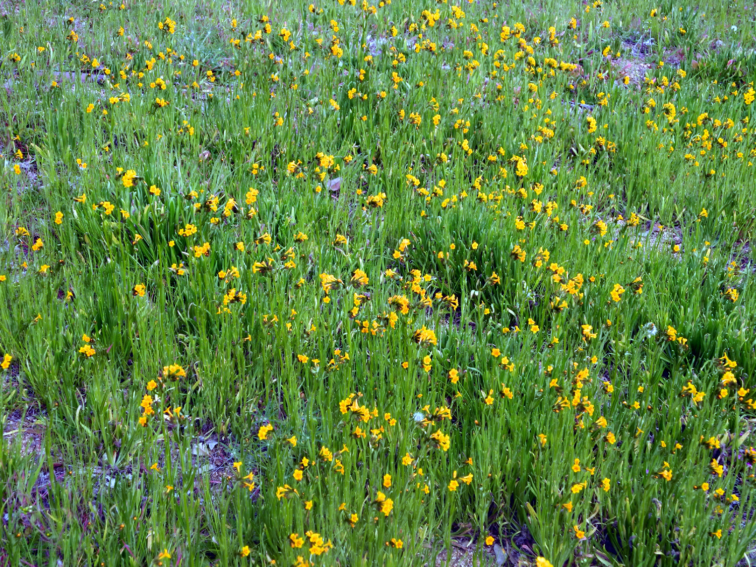
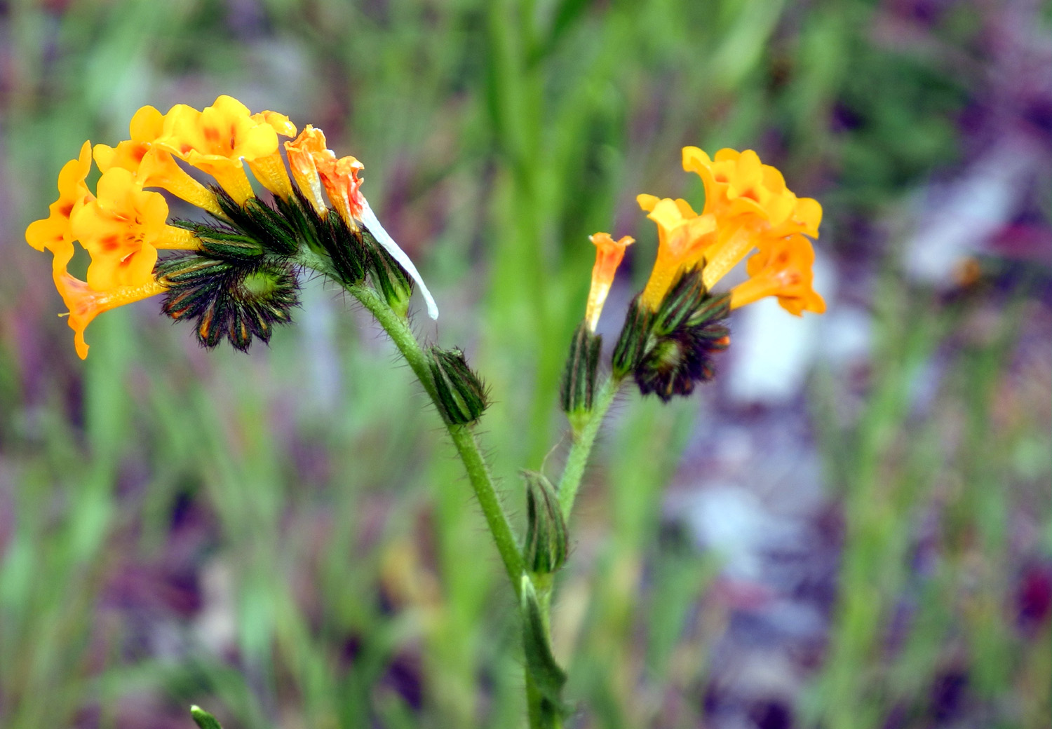
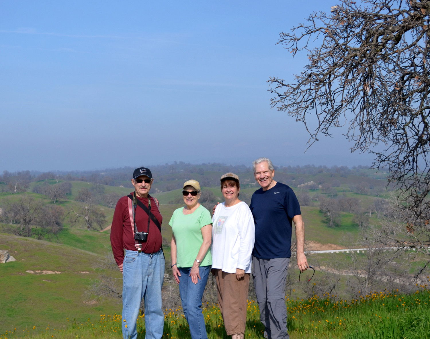
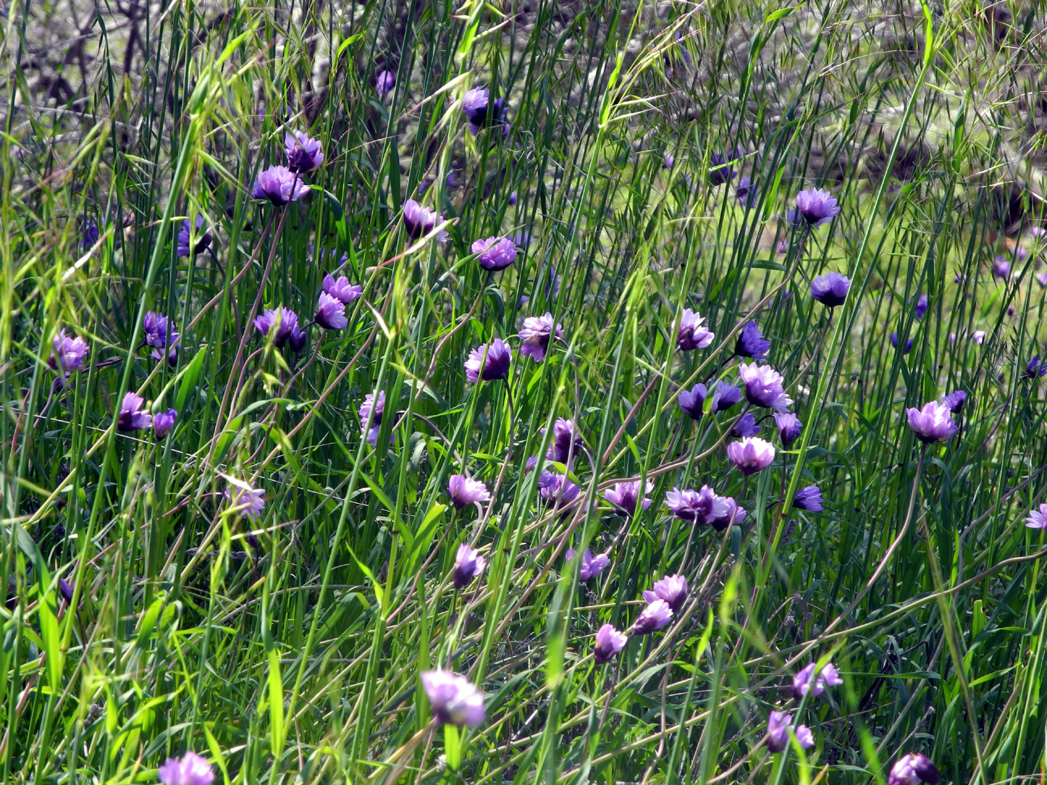
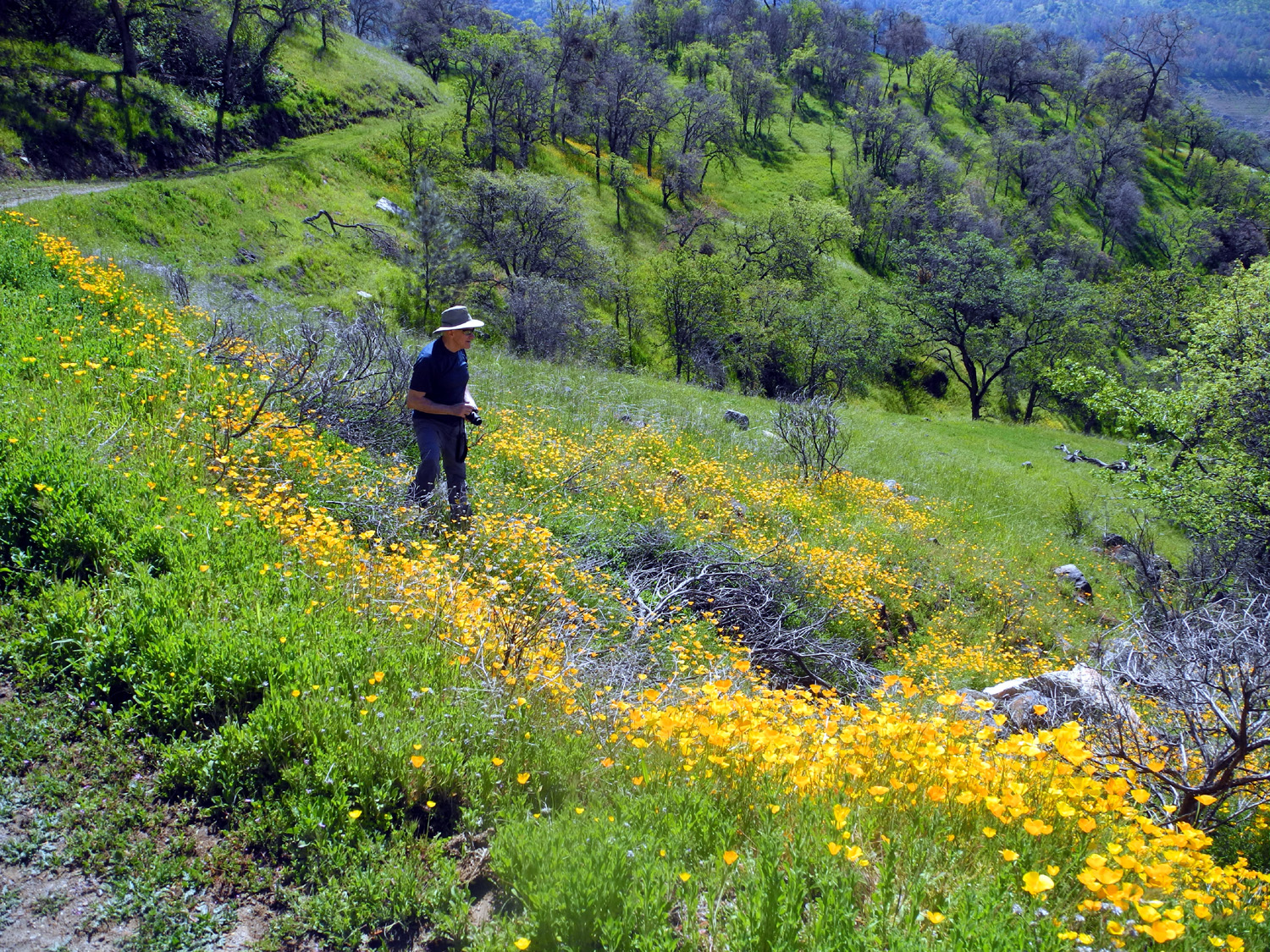
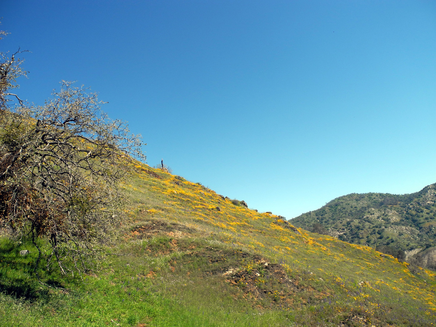
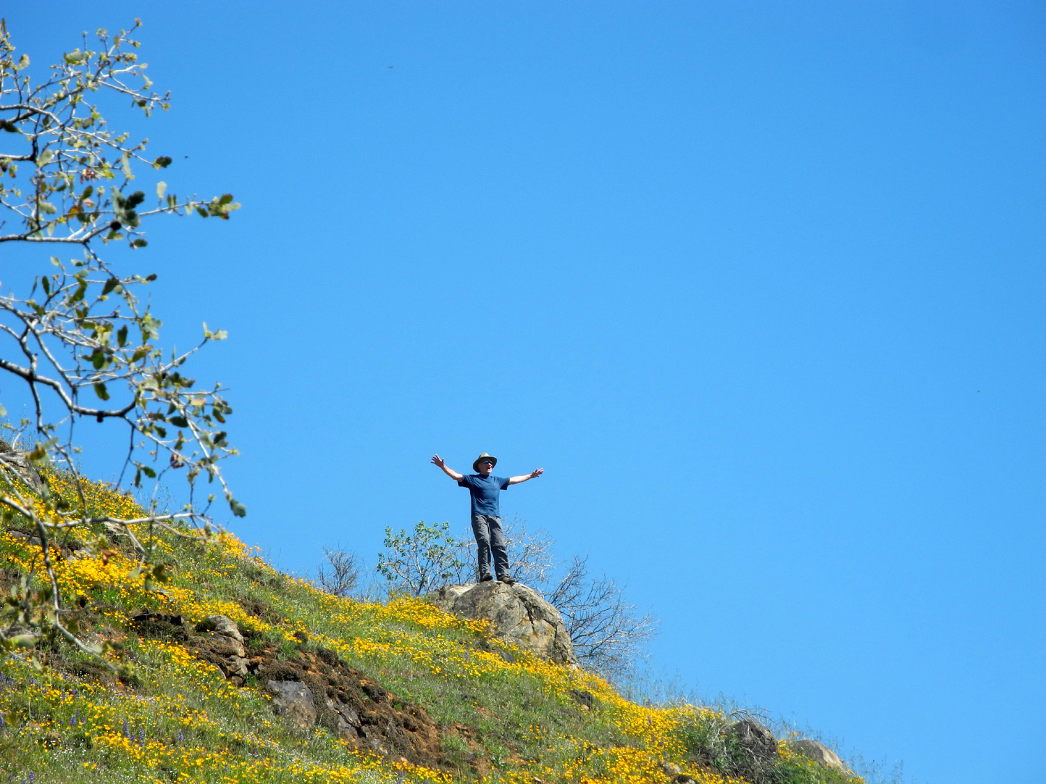
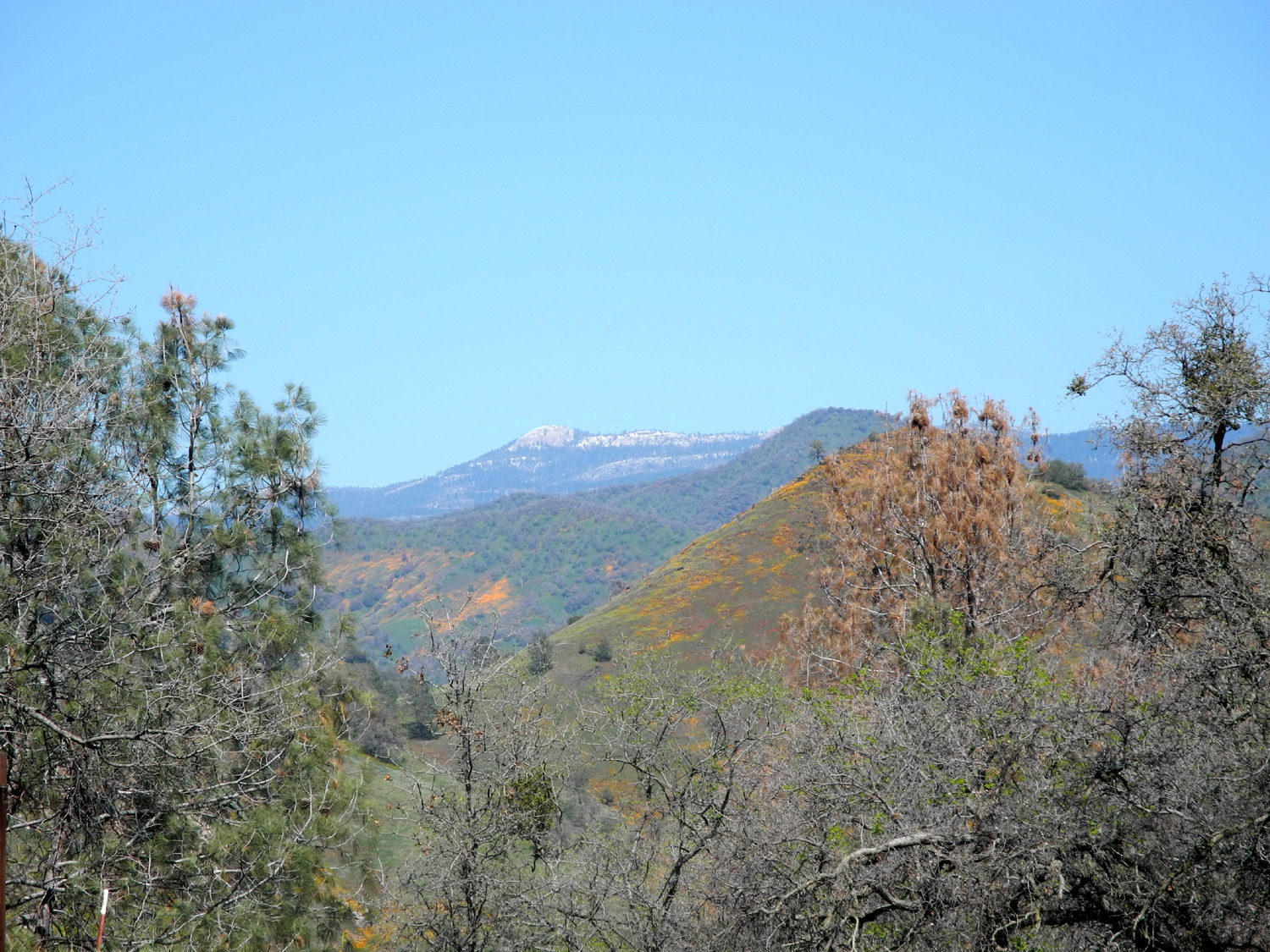
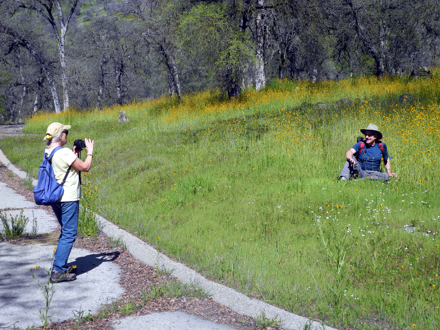
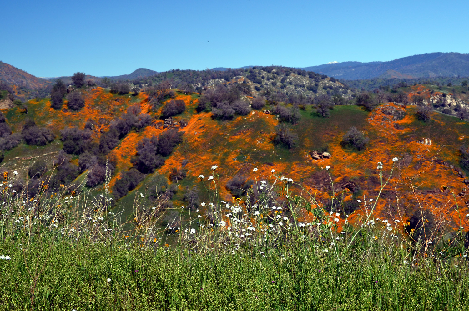
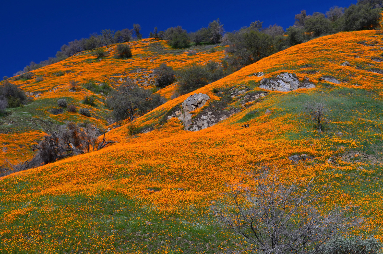
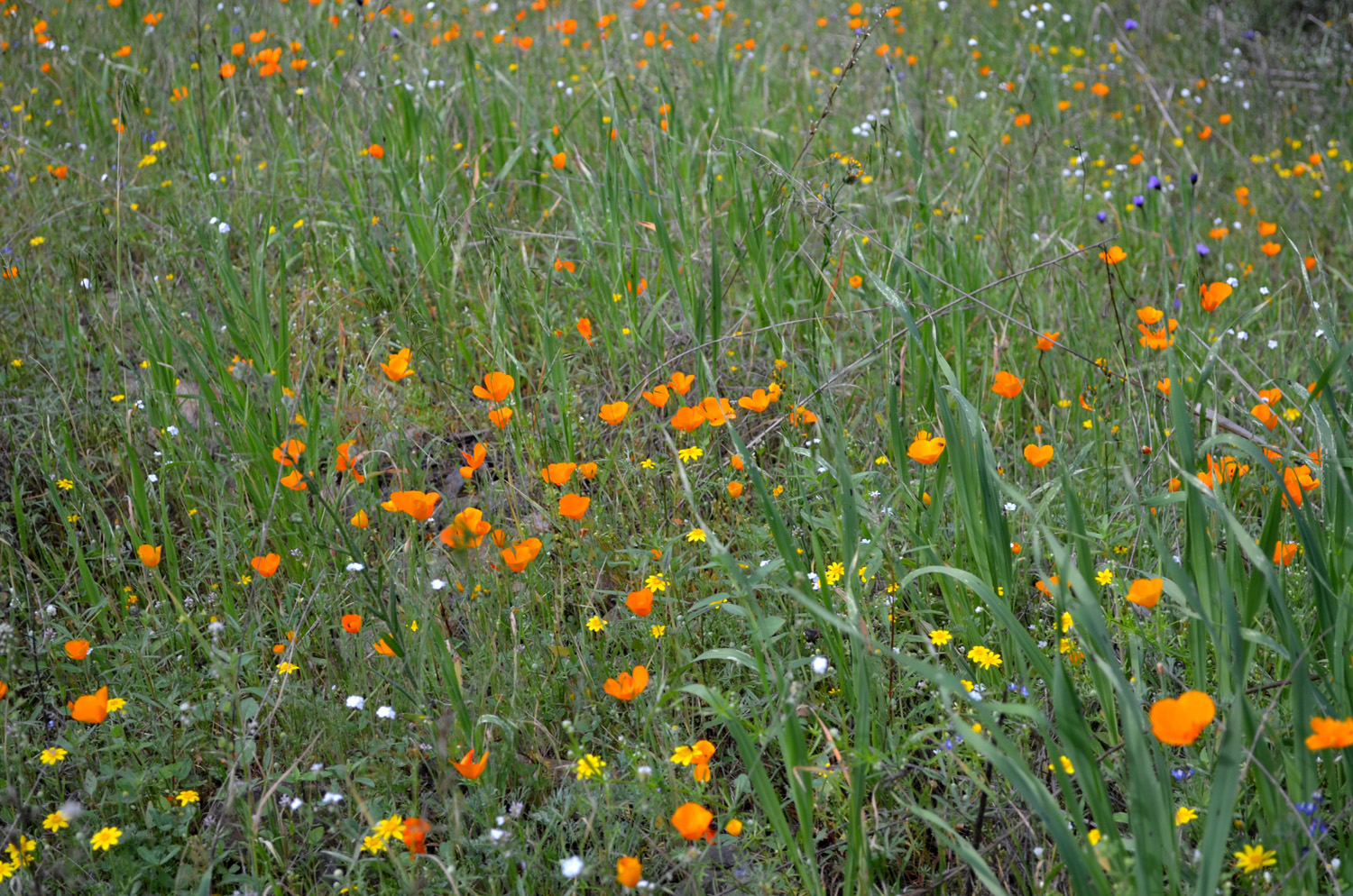
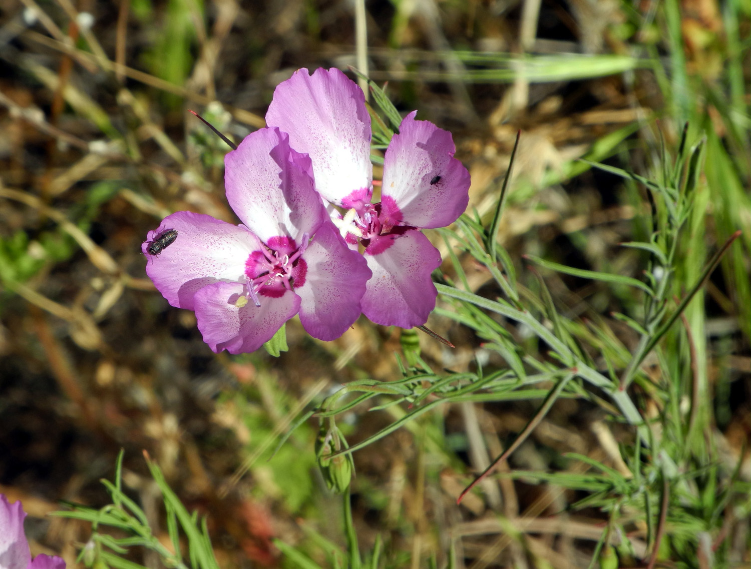
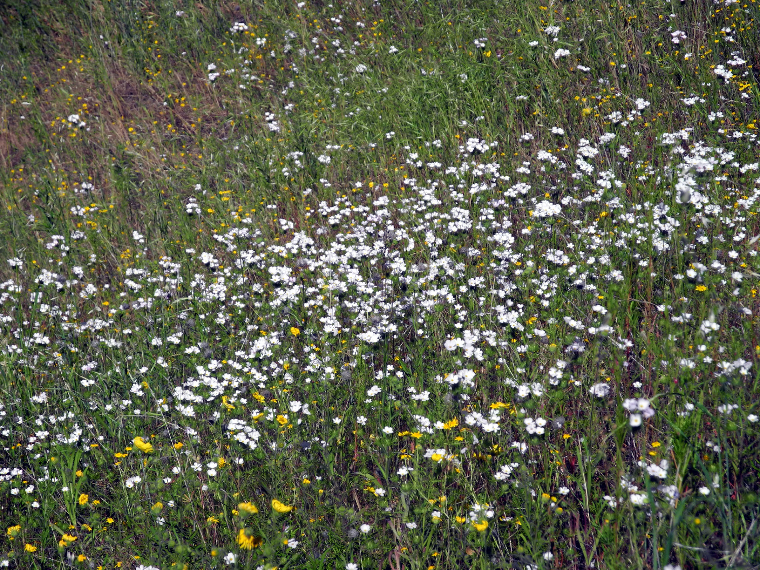
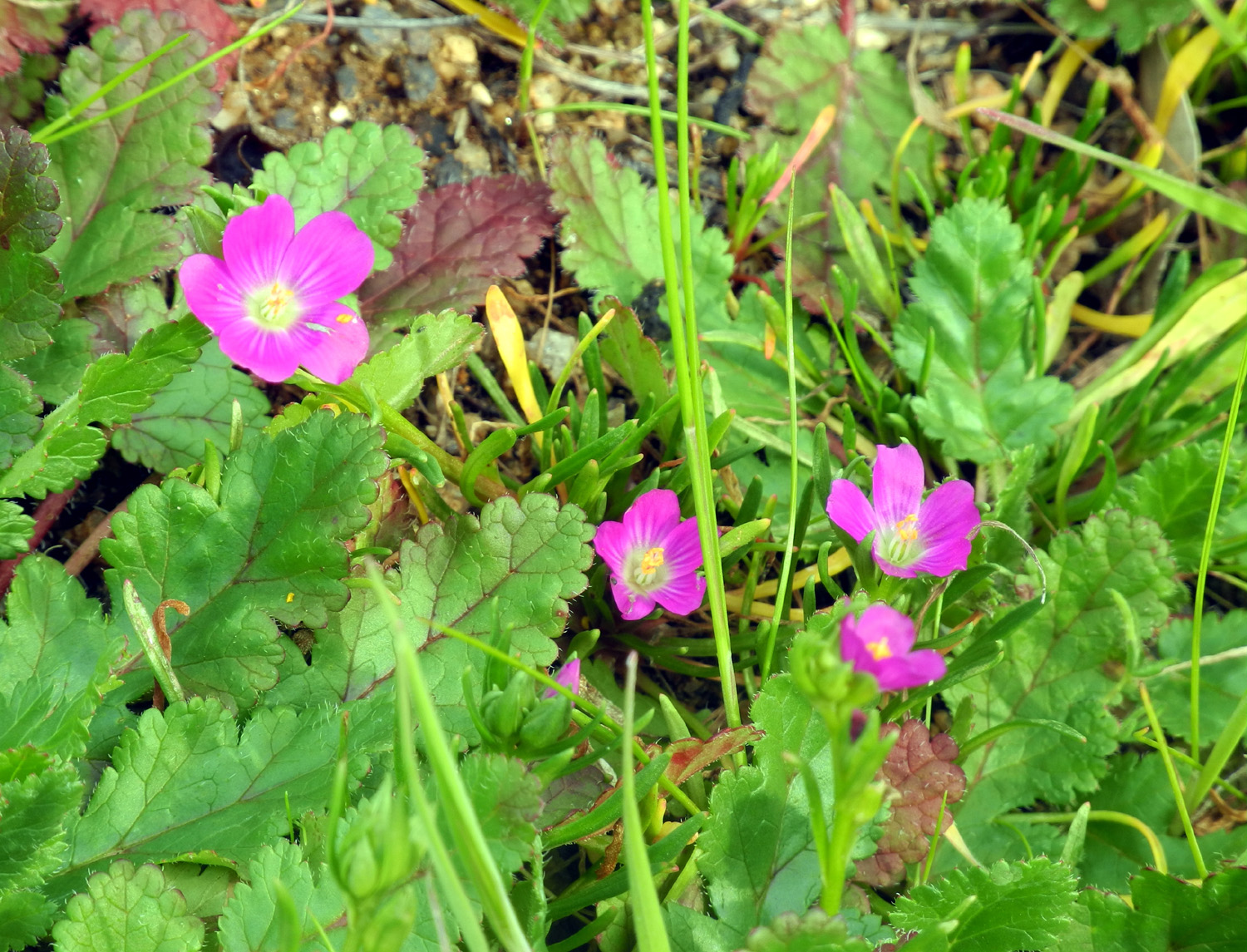
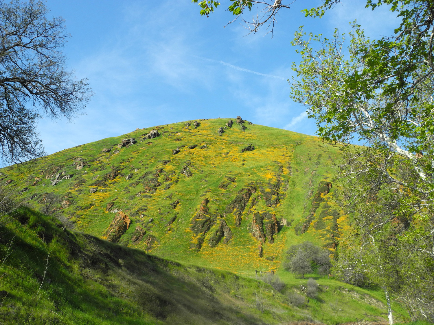
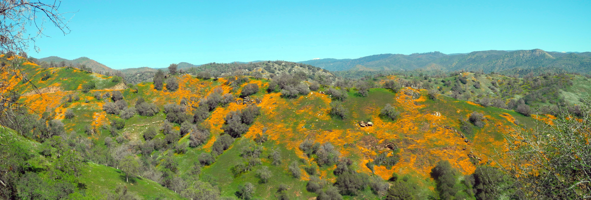
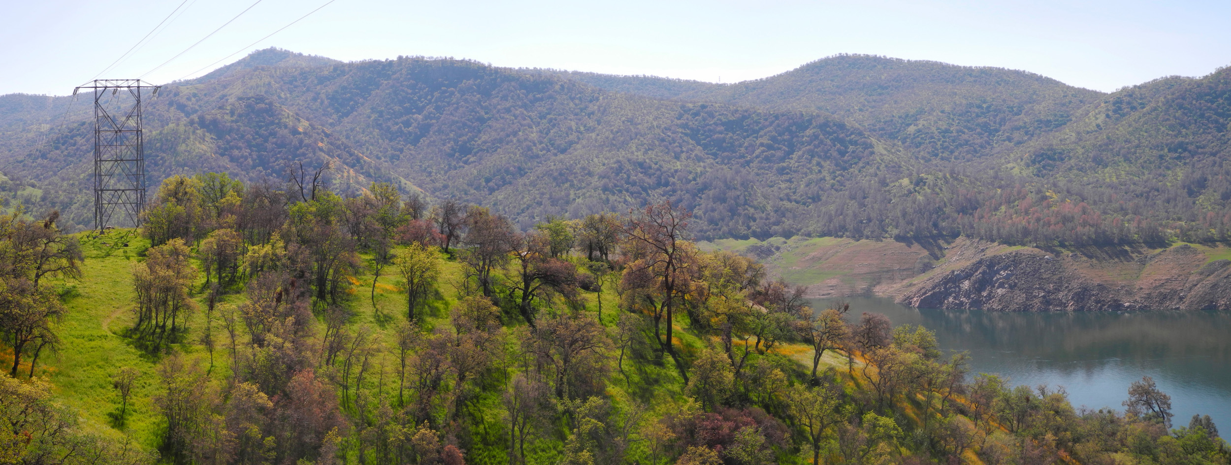
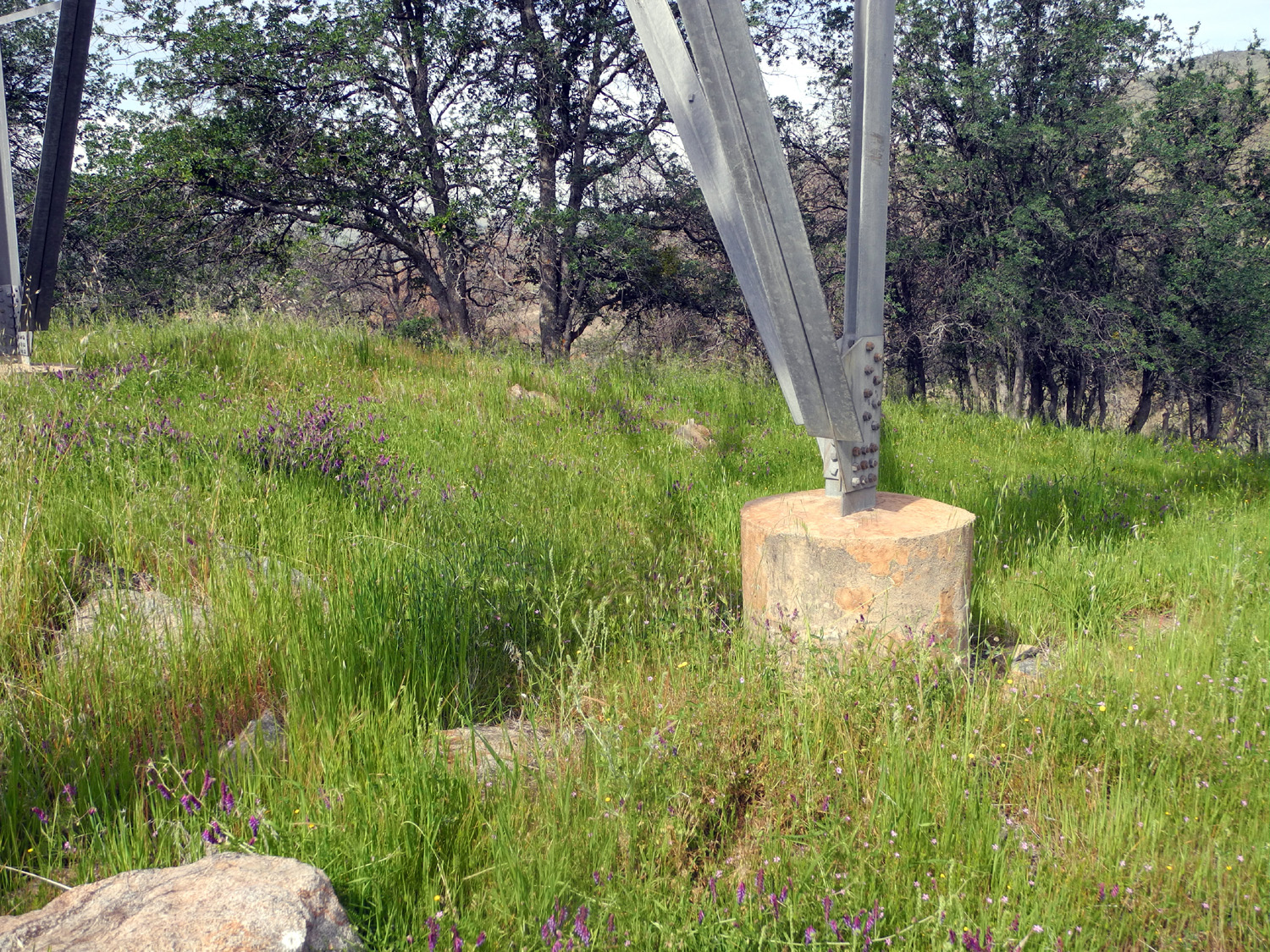
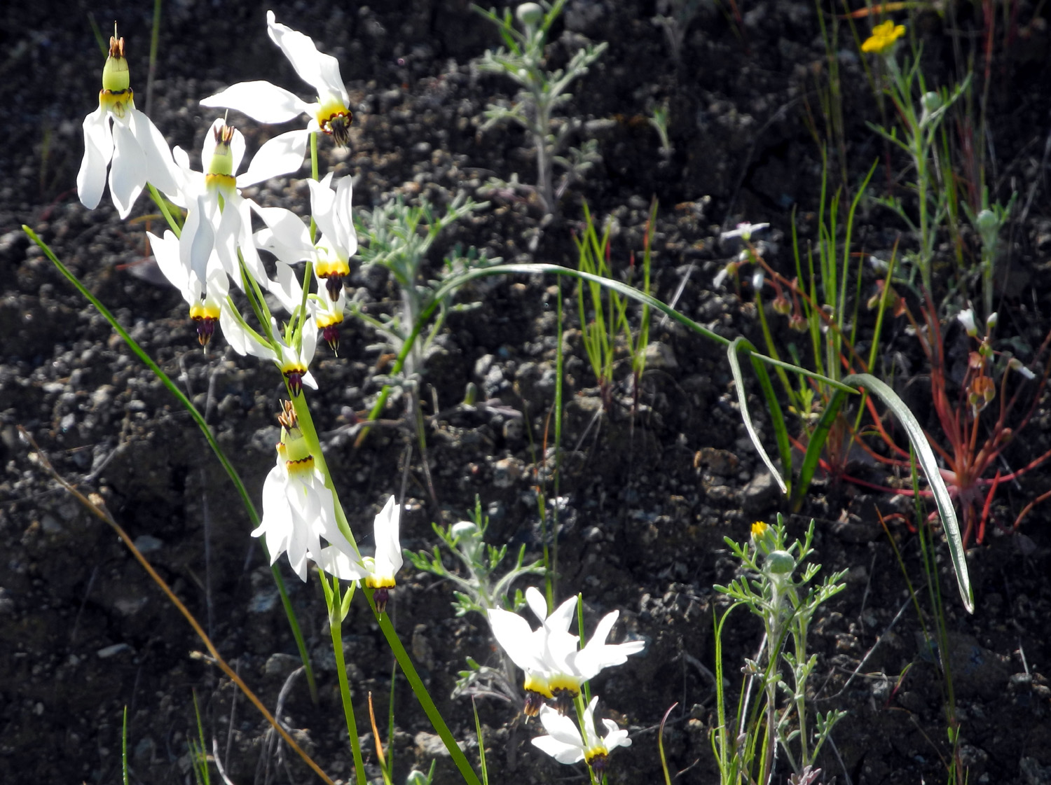
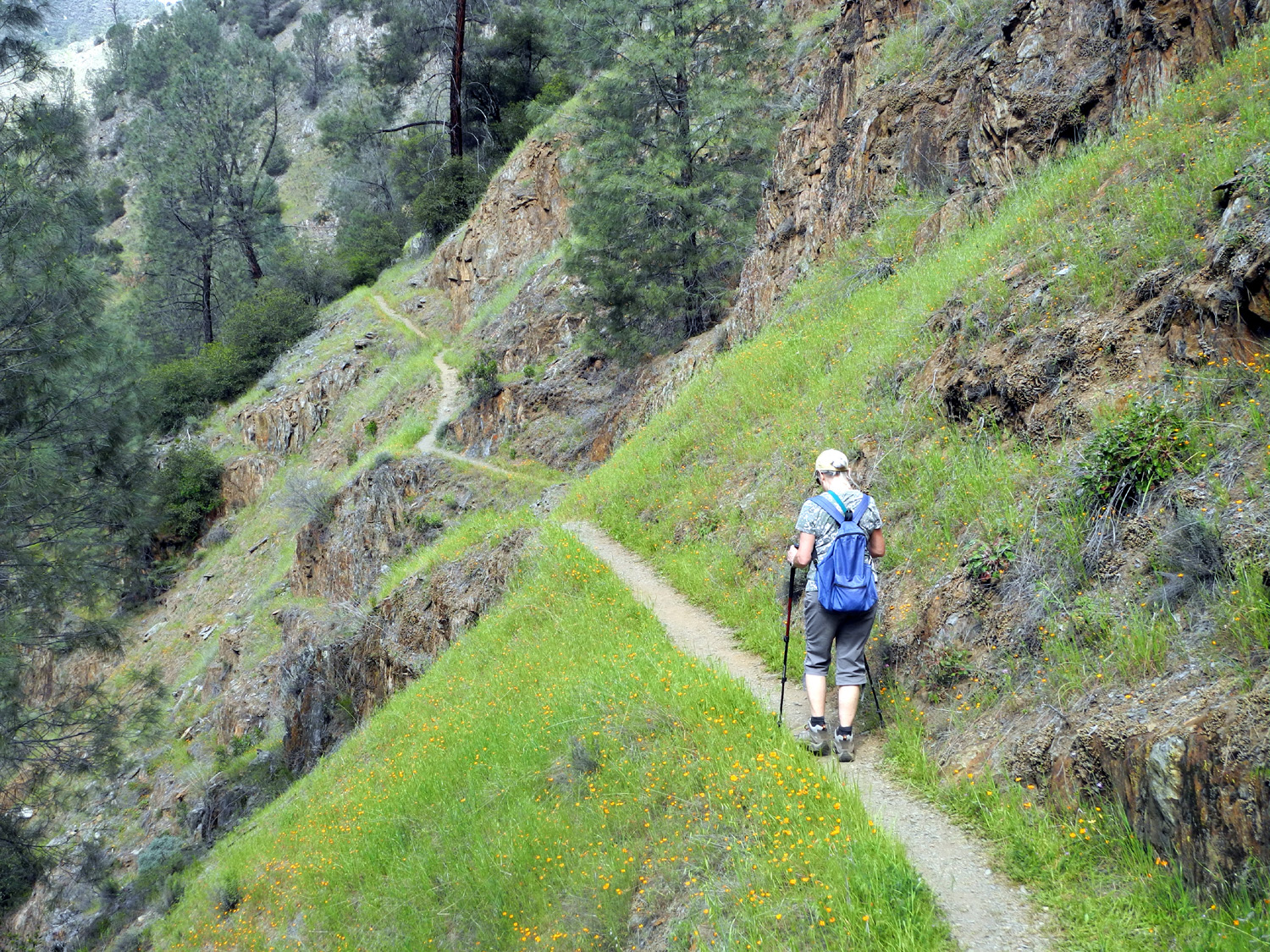
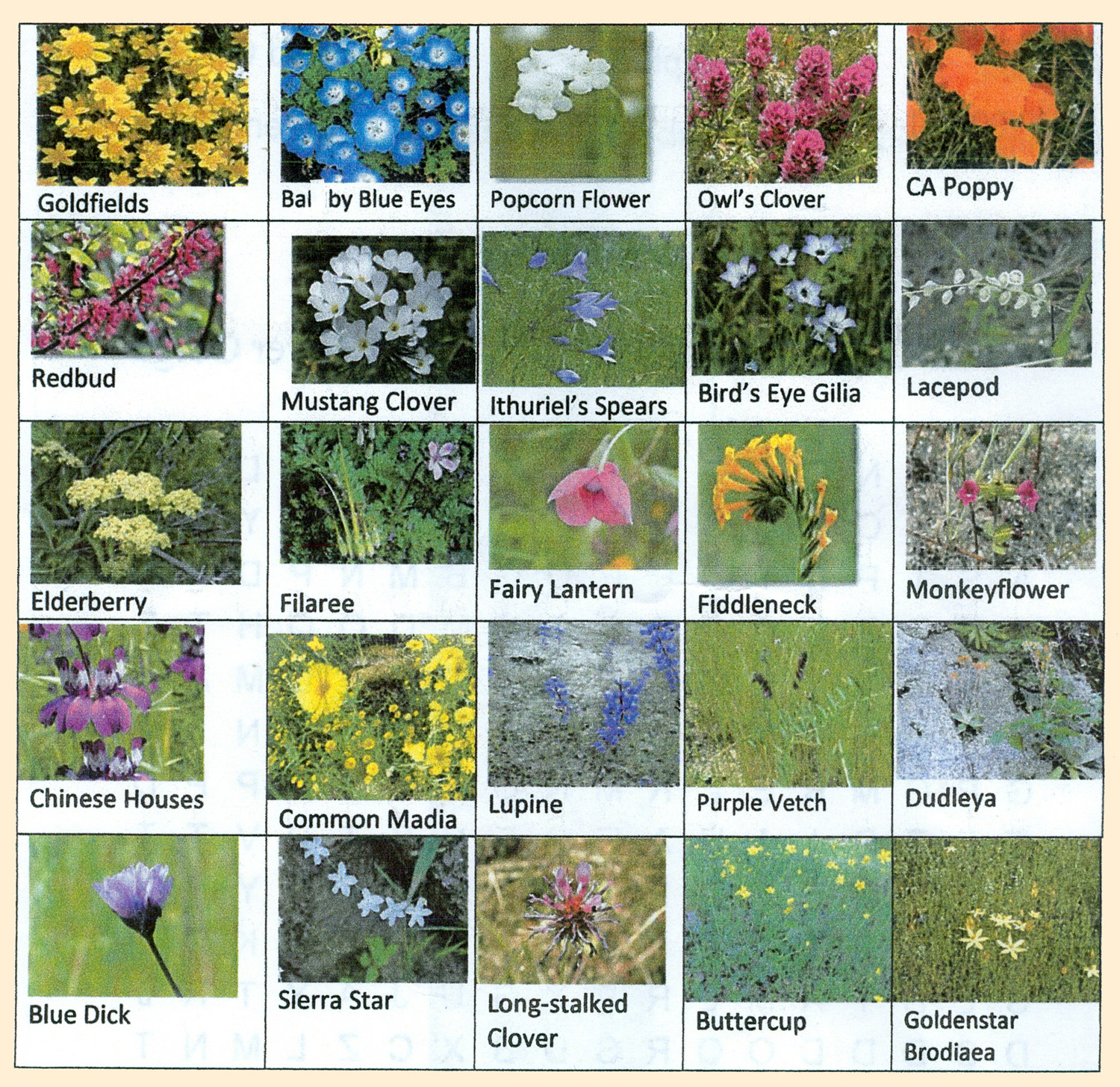
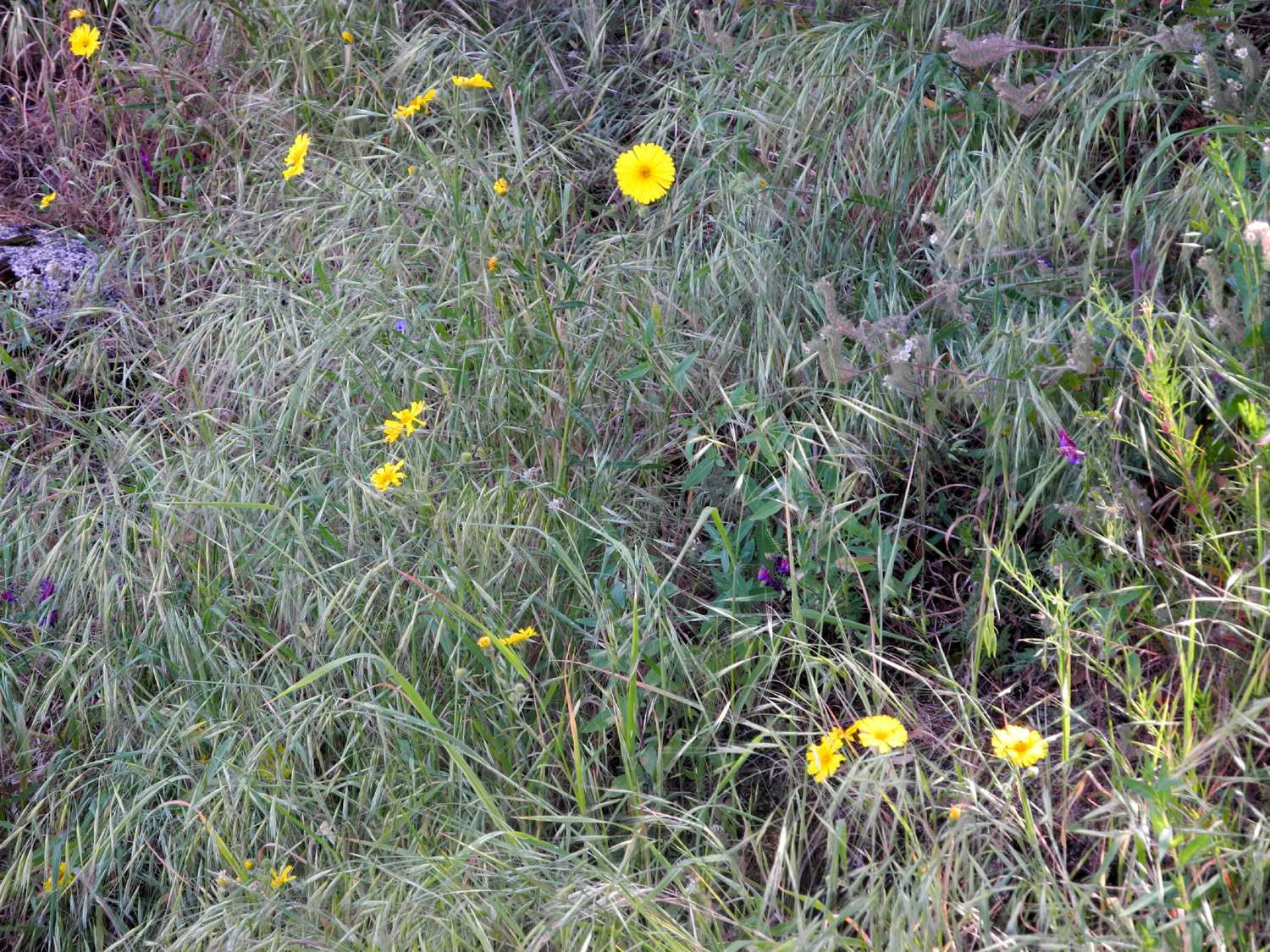
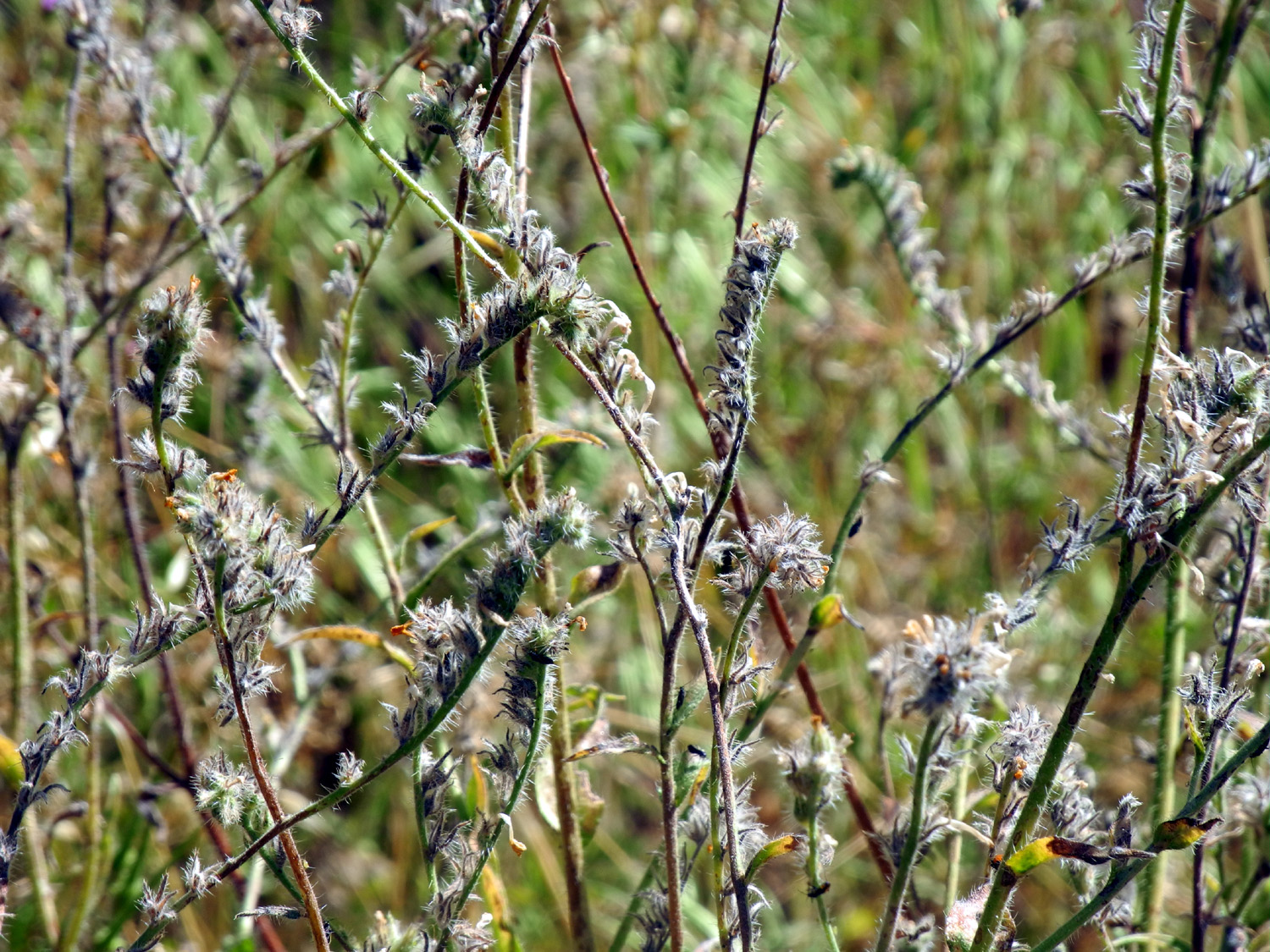
Edison Point Hike In spring the Ramblers' fancy turns to thoughts of foothill wild flowers. During our hike at Hensley Lake, we had a great time, but saw very few wildflowers. With several quick rainstorms and warmer weather since that date, we had high expectations for our next hike, scheduled for March 5 on the Edison Point Trail next to Pine Flat Lake. I had been in the area twice within the last month, and the flowers were good the first time and great the second time. I was concerned that the poppies might be fading out, but instead they were beyond spectacular - the best any of us have seen in the area within memory. The show starts where Trimmer Springs Road enters the Kings River Canyon near the community of Piedra. The river runs on one side of the road, while the other side rises steeply to a row of hills. Erosion has exposed ridges of rock that look like the ribs of the mountain, and the spaces in between are filled with the bright orange of California and gold cup poppies in great numbers. The land becomes less steep as the road turns away from the river and runs through rolling country blanketed with white patches of popcorn flowers. Of course, there are other blossoms mixed in, but orange and white dominate this area. The road starts up a creek valley and crosses over a ridge, well away from the lake. In this valley we were looking down on dozens of large stands of popcorn flowers that made it look as if the area had received a light dusting of snow. The road drops down and approaches the lake at Kirkman's Point, and after this it parallels the shoreline, winding in and out of tributary branches large and small. It was at this point that the real poppy show began. The blossoms on the hills above the road were even more more impressive than when Carolyn and I drove through there on February 26. A week's time, a good rain, and some warm sunny weather had taken the floral display to a new level. We stopped at Kirkman's to look at the lake and flowers, and to give ourselves the chance to notice the many other wildflowers - dramatic in their own right, but overshadowed by the splashes of orange that dominate. This would be the first hike on which none of us had previously walked the chosen trail, which starts just a couple of miles or so past Kirkman's. It goes out to a hilltop which we assume is Edison Point. What better name for a prominent knoll that's topped by a big electrical tower? It's allegedly a loop trail, but we discovered through various explorations that looping was not for us. Two trails led out from the parking area, one an old dirt road that went uphill, and one a narrow path that sloped down gently toward the lake. We chose the latter, so that our return on the "road" would be a downhill walk, but the trail quickly got narrower, was no longer level, and soon presented us with the opportunity to push through a thick stand of poison oak. We decided this must be a cow path, and made the short uphill walk to the larger trail. This wide, easy walkway led us up a gentle slope, past poppies, daisies, blue Dicks, popcorn flowers, a few bush lupines, and many other blossoms whose names we didn't know. A flower that somewhat resembled mustard, but was a pale yellow, was given the official Ramblers name of Grey Poupon Flower. Along the way we had many views of the lake, looking very nice with its green surroundings despite the low water level. More dramatically, we could look back at the land above the lake and see many places where it appeared as though huge containers of orange paint had been poured out on the hillsides. Eventually we reached the top of the point, where the wide road ended. A sign pointed to a narrow trail to our right, down toward the lake. Wes explored this route for a brief distance, making his way around the point and back up the southern end, and reported that the route descended very steeply toward the lake. It appeared that it would be too much steep downhill walking, then the same back up, and we decided to return the way we came. Back home, reading a detailed description of the trail, it was clear that this was the "official" route. But first it was time for a rest and a snack. Our thanks to PG&E (or possibly SCE) for constructing an electrical tower that had short, flat-topped cement cylinders at the bottom that were perfect for sitting. We also started looking around this grassy, rounded hilltop for a place where Wes could do his traditional "on the rock" pose. Finally he spotted a nice granite outcropping about 200 feet up a steep hillside, and made his way up. It was kind of a long distance shot, but we got some nice pictures. After all this we started our walk back to the car, deciding on the way to do an additional "drive and hike." This proved to be a rewarding decision, since we began driving through hillsides where the poppies were even more spectacular than any we had seen this far, with "oohs" and "ahs" being expressed every time we rounded a curve and spotted a different vista. We stopped briefly so I could photograph the rare white shooting stars that Carolyn and I had spotted by the road last week. We made another stop where I could look down into the the place where Sycamore Creek runs into the lake. We immediately realized that the lake level had risen slightly since the previous week, as evidenced by the fact that lake water went a few dozen feet up the Sycamore drainage. During our previous visits, we could see the creek running all the way out to the river, with no actual lake water at this point. We continued on to the closed campground where I walked in early February and Carolyn and I walked last week, and did the 15 minute loop through the abandoned camp roads. This time our reward was a much bigger and better display of baby blue eyes than we had seen just seven days before....instead of one or two small patches, there were a dozen in various places through the campground. We also explored the possibility of hiding out in the waist high fiddlenecks, with resulting photos displaying our success or failure. When we finished this short second part of our hike, we started home, again enjoying the poppies along the way from a different angle and with different lighting. We stopped for lunch at the Red Caboose cafe at Shaw and Academy in far eastern Clovis, where we had an enjoyable meal. Next we will launch the First Annual Poppy Challenge, to determine which river has the best poppies - the Kings where we hiked this time, or the Merced, where we will hike the Hite's Cove Trail on March 16.
One review is worth quoting in its entirety, mainly so I can offer some comments and corrections: "Great
views of the lake, good exercise from the elevation change, but the
wild life are cows! My dog had fun chasing the calves. Dodging cow
pies was not exactly what I expected. Once you go about a 1/4 mile
in on a 4 track trail, you can take the foot trail or basically go
wherever you want as the terrain is pretty open. At this time of
year (Feb), I did not see anyone else around. We
saw no cows, but a fair amount of evidence. There wasn't so much
that we had to constantly "dodge" the pies. Carolyn and I
did see cows at the trailhead last week. Going "wherever you
want" would be pretty challenging in most of this area, since
the road runs along a steep hillside. We didn't follow the entire
loop, so we didn't have a lot of elevation change, but we all agreed
we had plenty of exercise. We saw two people at the trailhead that
had been at the lake fishing, not using the trail, and another man
who arrived as we were leaving, and started hiking up an old trail
across the road. --Dick Estel, March 2015 |
||
|
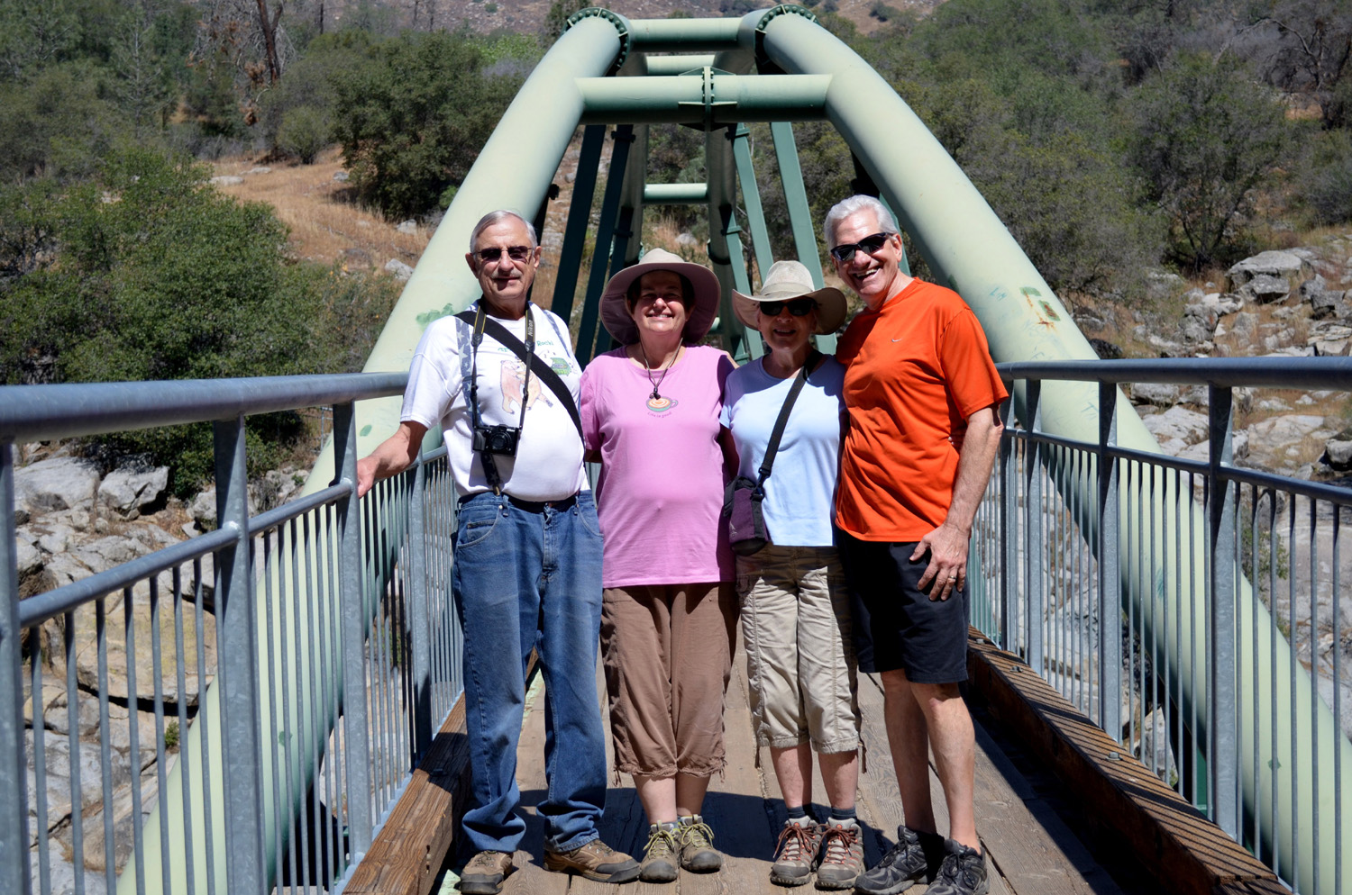
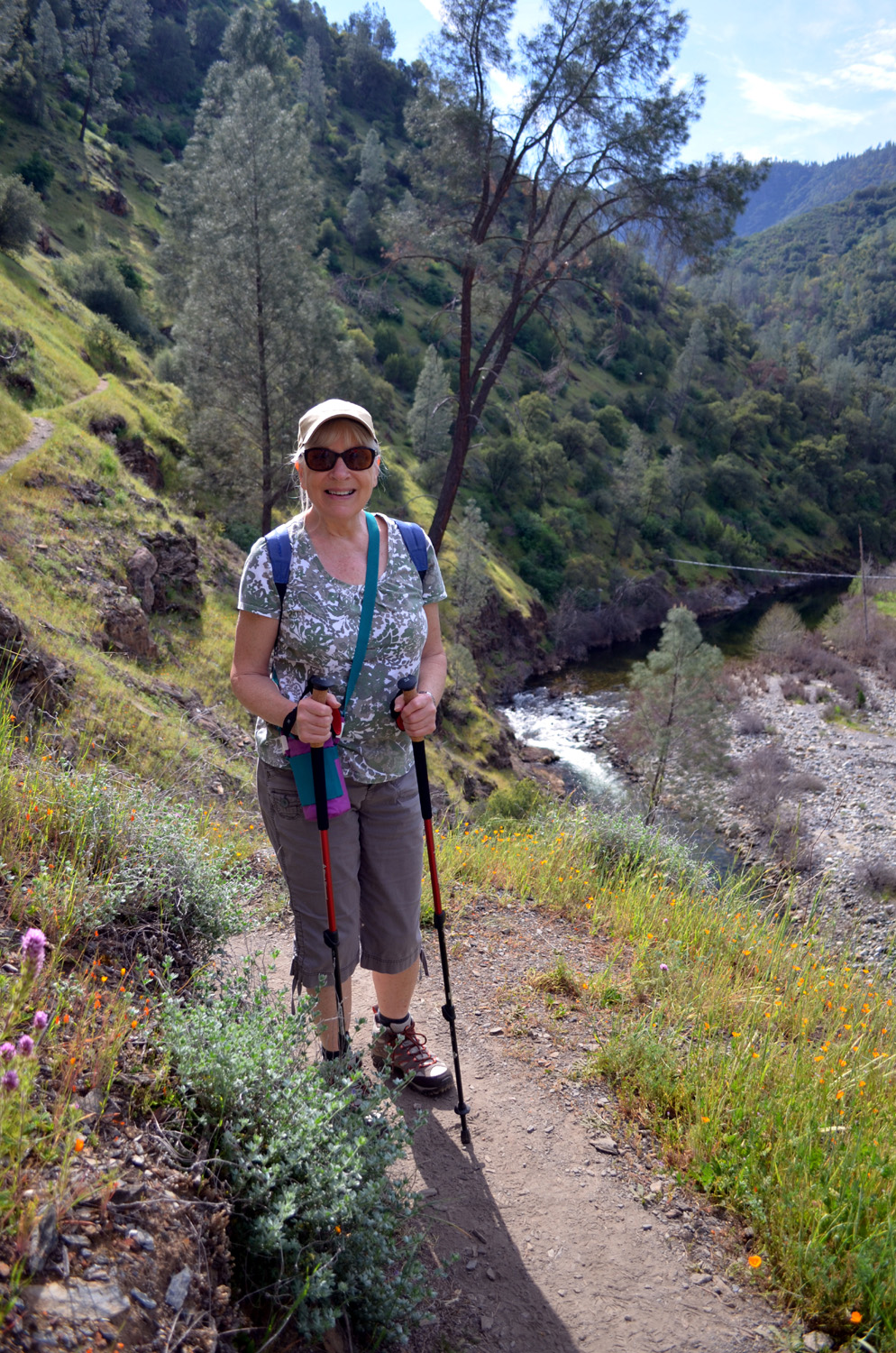
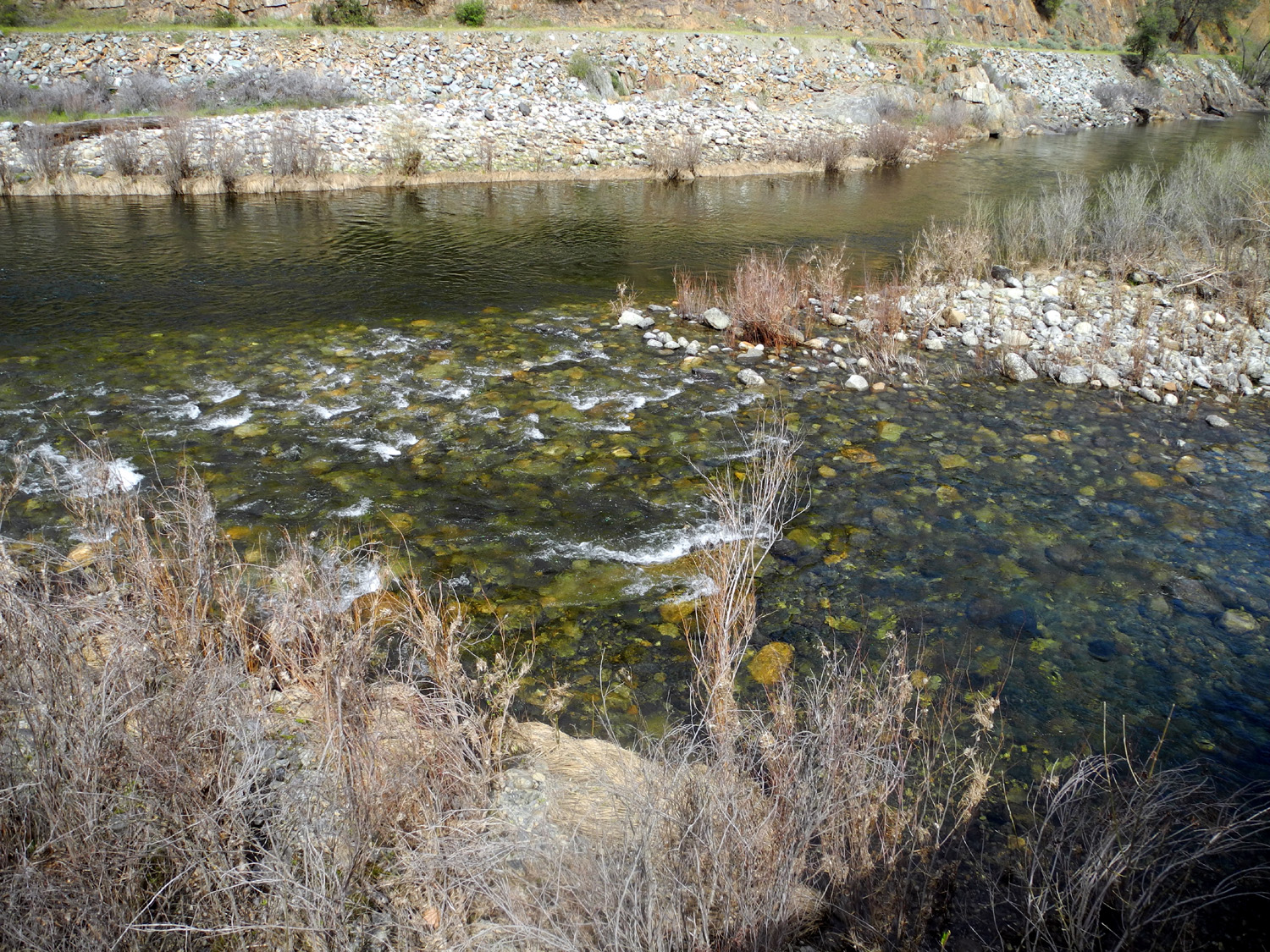
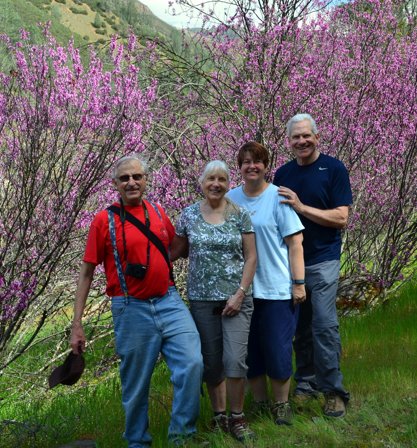
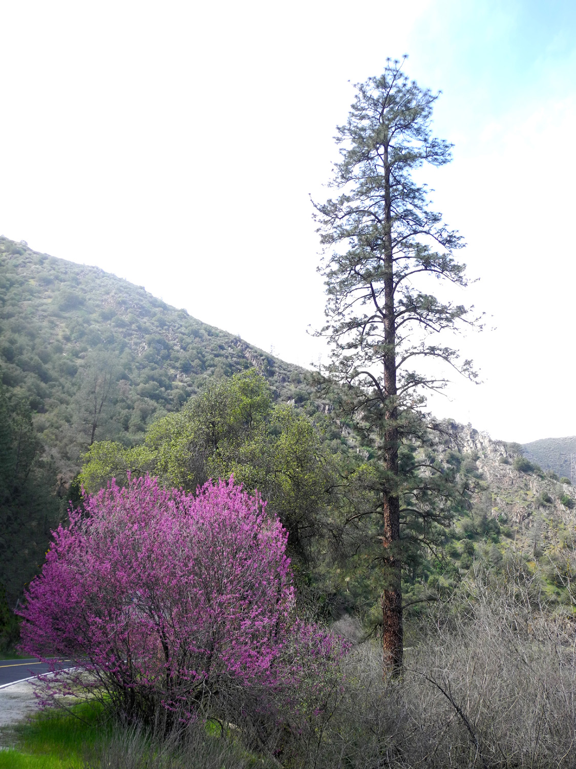
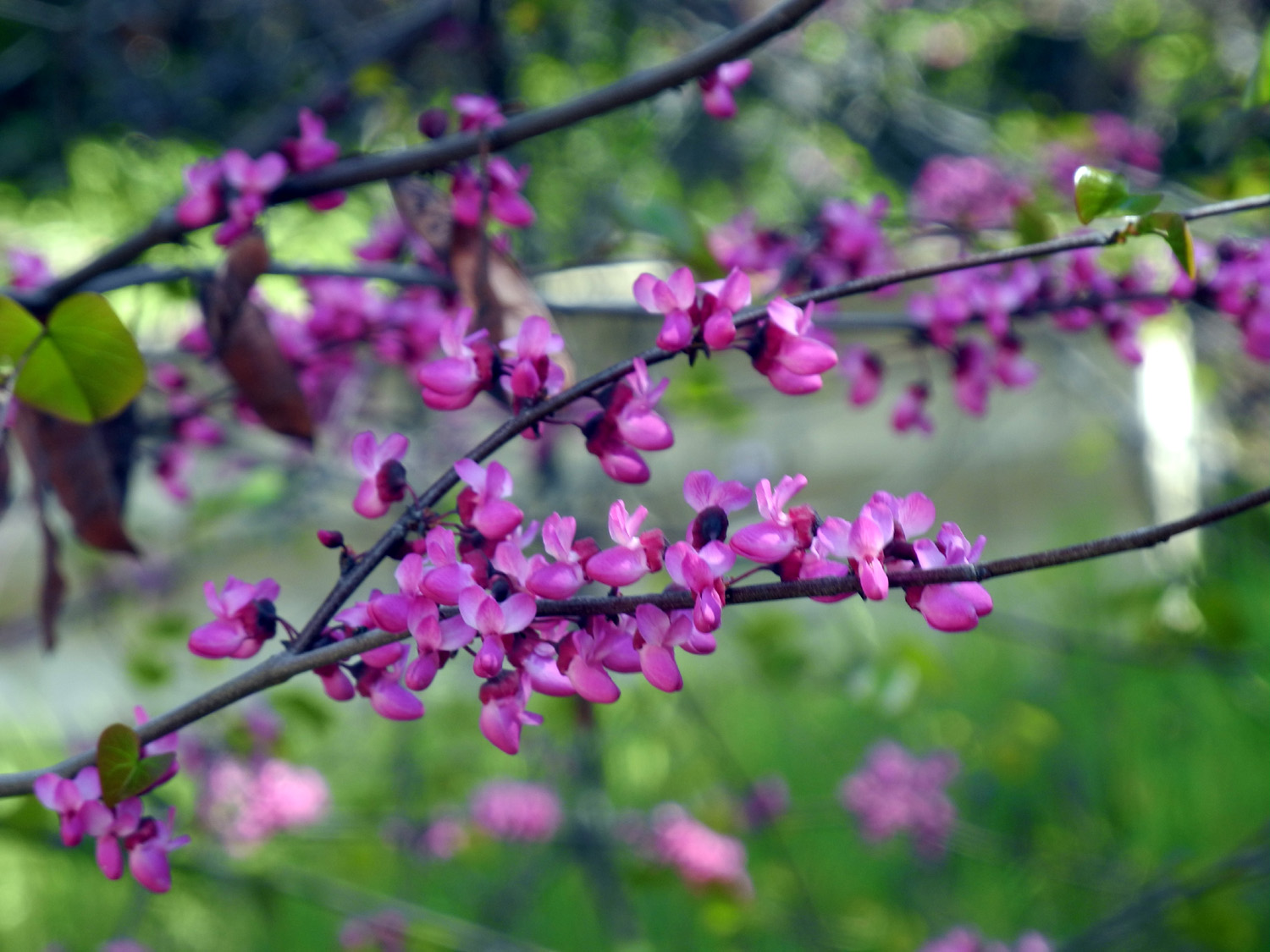
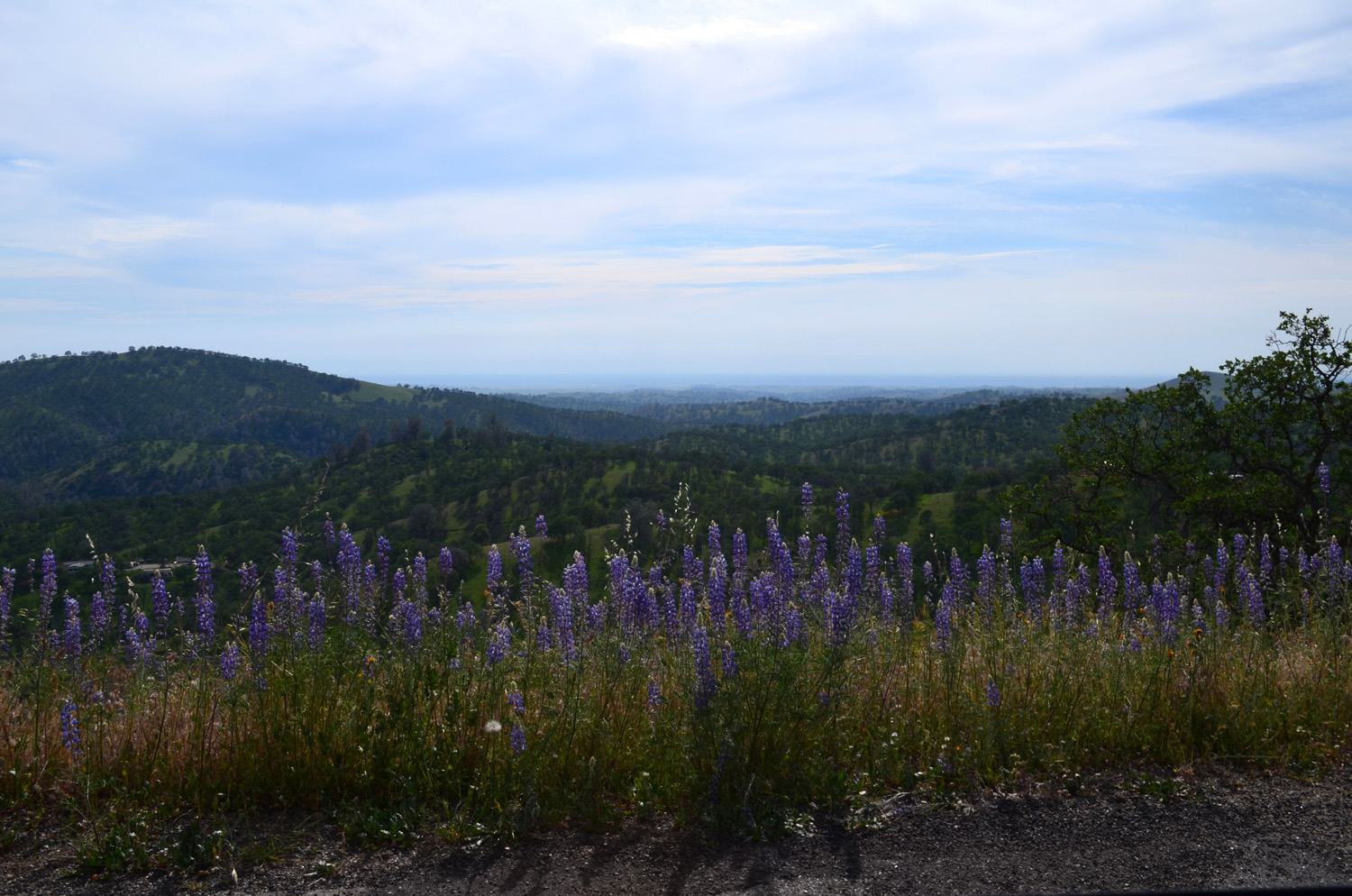
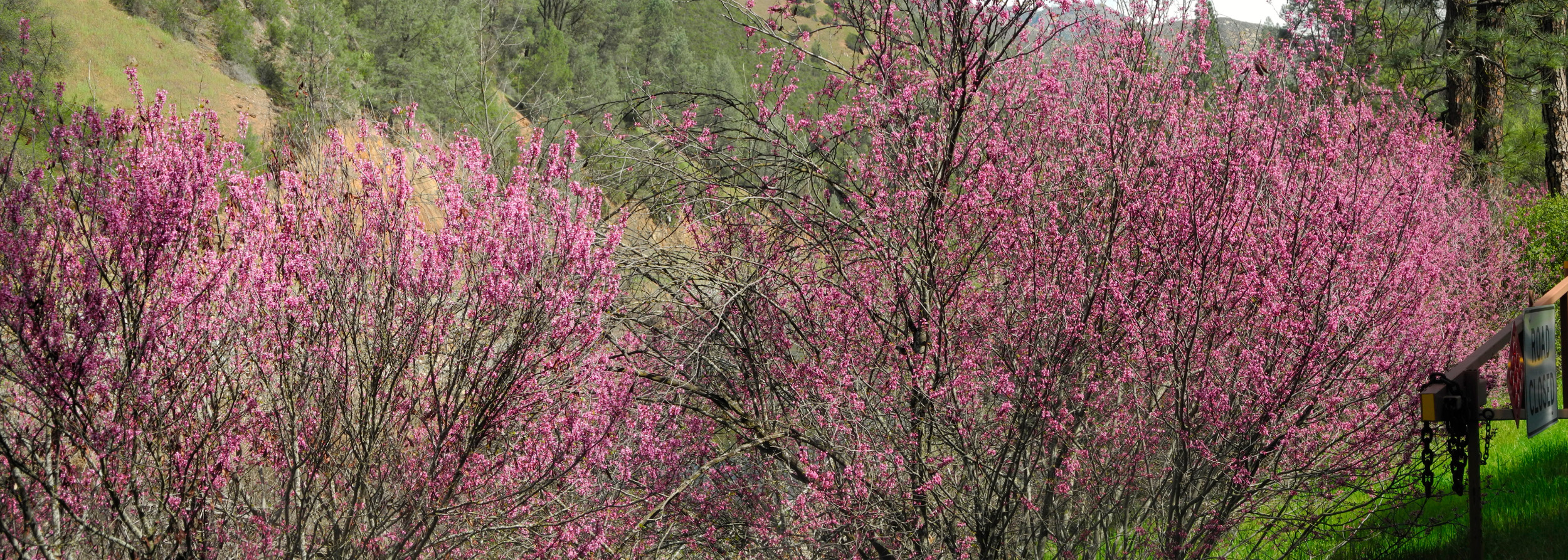
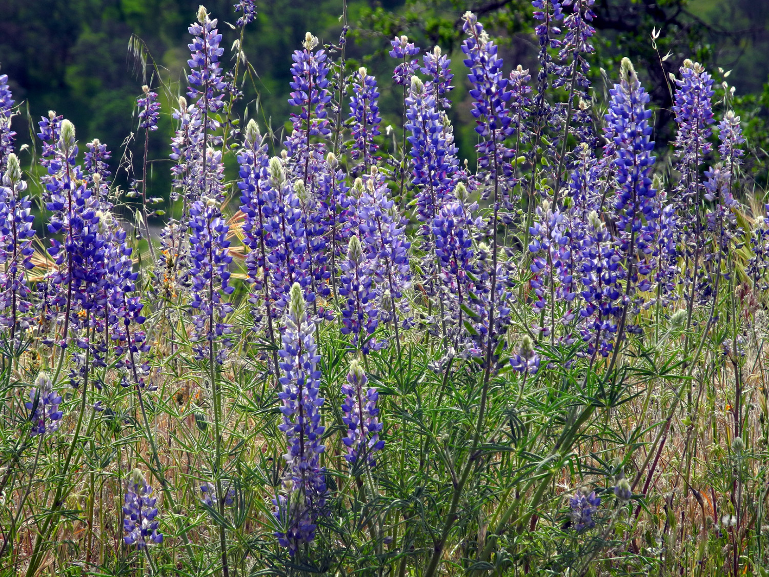
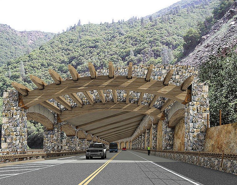
Hite's Cove Trail Continuing our quest to hike "anytime, anywhere," on March 16 the Ramblers set out for Mariposa County, specifically the Merced River Canyon, more specifically, the Hite's Cove Trail. Wes and I hiked this trail just over a year ago, which you can read about here. This time we had issued the Poppy Challenge, to determine which river canyon had the best display of poppies this year, the Kings, where we hiked on March 5, or the Merced. Our route took us north from Fresno on State Highway 41 to Oakhurst, then west on Highway 49 to Mariposa. Here we got on Highway 140, which goes to Yosemite Valley. Our destination is a few miles from the entrance to the National Park, and just past the infamous Ferguson Rock Slide. At this location, on the south side of the river, tons of rock slid down in 2006 and completely covered the roadway for a distance of 600 feet. Plans for a permanent repair have moved slowly, and completion of the project is now projected for the early 2020s. Meanwhile two bridges take traffic across the river then back on a one-way stretch controlled by traffic lights at both ends. The wait can be up to 5 minutes, so while we were stopped, we got out and stretched and took a close look at the river, which is a small trickle compared to its normal flow. Only a few hundred yards past the slide is the Savage Trading Post, dating from 1849, where the South Fork enters the main river. A public hiking trail goes up the east side of the fork to the location where John Hite took out several million dollars worth of gold in the 1850s. Driving up the Merced River canyon we saw few poppies, but hoped they might be better on the South Fork. It was not to be. Unlike last year, the poppies proved to be few in number and small in size - and no match whatsoever for the massive fields we've had in the Kings River canyon this year. Unofficial reports say they were excellent on the Hite's Cove Trail in February, but this is the March challenge, and February is so last month. So the Kings River canyon wins the Poppy Challenge, but the Merced took the prize for redbud - it was in bloom all along the canyon, and indeed, in many places on Highway 49 on our way from Oakhurst to Mariposa. This is not to say there was anything wrong with our hike on the trail itself. We had bright green hills, oaks leafing out, bull pines on the lower slopes and ponderosas higher up, and the river, running strongly, although not as full as it should be. Among the flowers we saw, including poppies, were bush and ground lupines, shooting stars, Indian paintbrush, popcorn flowers, owl clover, filaree, fiddlenecks, buck brush, miner's lettuce, several species of brodiaea, and a half dozen varieties we could not identify. The trail itself is rather narrow, with a steep hillside to the east, and a long drop off to the river on the west. It's a place where the wise hiker stops walking when it's time to look around at the scenery - and we are all wise, experienced, and still alive. The trail offers gentle up and down hiking, with no steep stretches except for the very beginning, and the section beyond where we turned back. We did not take the entire 4.5 mile one way trip to Hite's Cove, but followed our usual practice of hiking for about an hour, then turning back. Going in and out, we saw at least a half dozen other hikers enjoying the nice weather and scenery. When we got back to the parking area, we walked across the Highway 140 bridge over the South Fork to a stand of redbud bushes in full, brilliant bloom, where Wes set up his tripod for the traditional group photo. We enjoyed the ride back to Mariposa, where we went to Castillo's, an excellent Mexican restaurant. It is owned by members of the same family who have several locations in Fresno, as well as Oakhurst. Then, to introduce the others to some more of the wonders of Mariposa County, I guided Wes home by way of the Old Highway. This is a section of the original State Highway 140 alignment from 1925 that was abandoned by the state about 1935. Now a county road, the old route has remained in use and leads to homes and ranches, as well as some spectacular foothill scenery. It leaves present day Highway 49 between the fairgrounds and town, and joins Highway 140 at Cathey's Valley. For the first ten miles or so it roughly parallels Mariposa Creek, but high up above the valley. It goes through the once thriving community of Bridgeport, which now consists of a new fire station and a very old bridge. It also offers views of 7,000 foot Signal Peak, which rises above the west side of the South Fork of the Merced, as well as other mountains in that area. And of course, there are wildflowers - most of the same ones we had seen earlier, with maybe one or two that were new. Most spectacular were the lupines, mostly the tallest of the three varieties of blue lupines that are common in the foothills, plus a few white ones. Both these have flower clusters about a foot in length. Once we got past the first part of the road, where there are a lot of homes hidden away in the hills, the pavement became very narrow and rough. I tried to convince my companions that I had been on much worse roads, paved and dirt, but they were not persuaded. Still we survived, and as the road descended to Cathey's Valley, the road improved noticeably, and we began seeing a number of large homes. Later I remembered that Cathey's Valley has become a bedroom community for professors and administrators at the University of California Merced, which is relatively close to the area. We made it back to the
smooth, high-speed route of Highway 140, and continued downhill to
the San Joaquin Valley. You can follow 140 to Merced and Highway 99,
but we took some more back roads, cutting off a number of miles by
going through the tiny town of LeGrand
via Cunningham Road, then out to 99 on Santa Fe Avenue, when put us
just north of Madera and not far from home. To avoid a lot of the
traffic through Fresno, a few miles north of the city limit we went
across to Highway 41 on Avenue 9, and got back to our meeting spot
at Julie's, ready to do it all again next month. --Dick Estel, March 2015 |
||
| San
Joaquin Gorge Bridge Hike
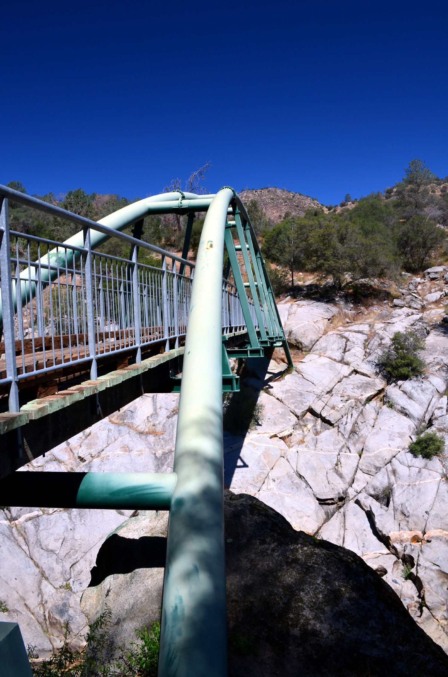
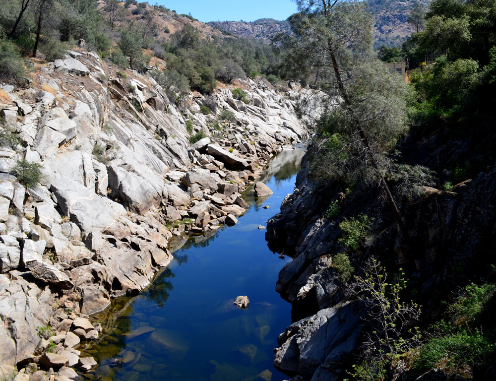
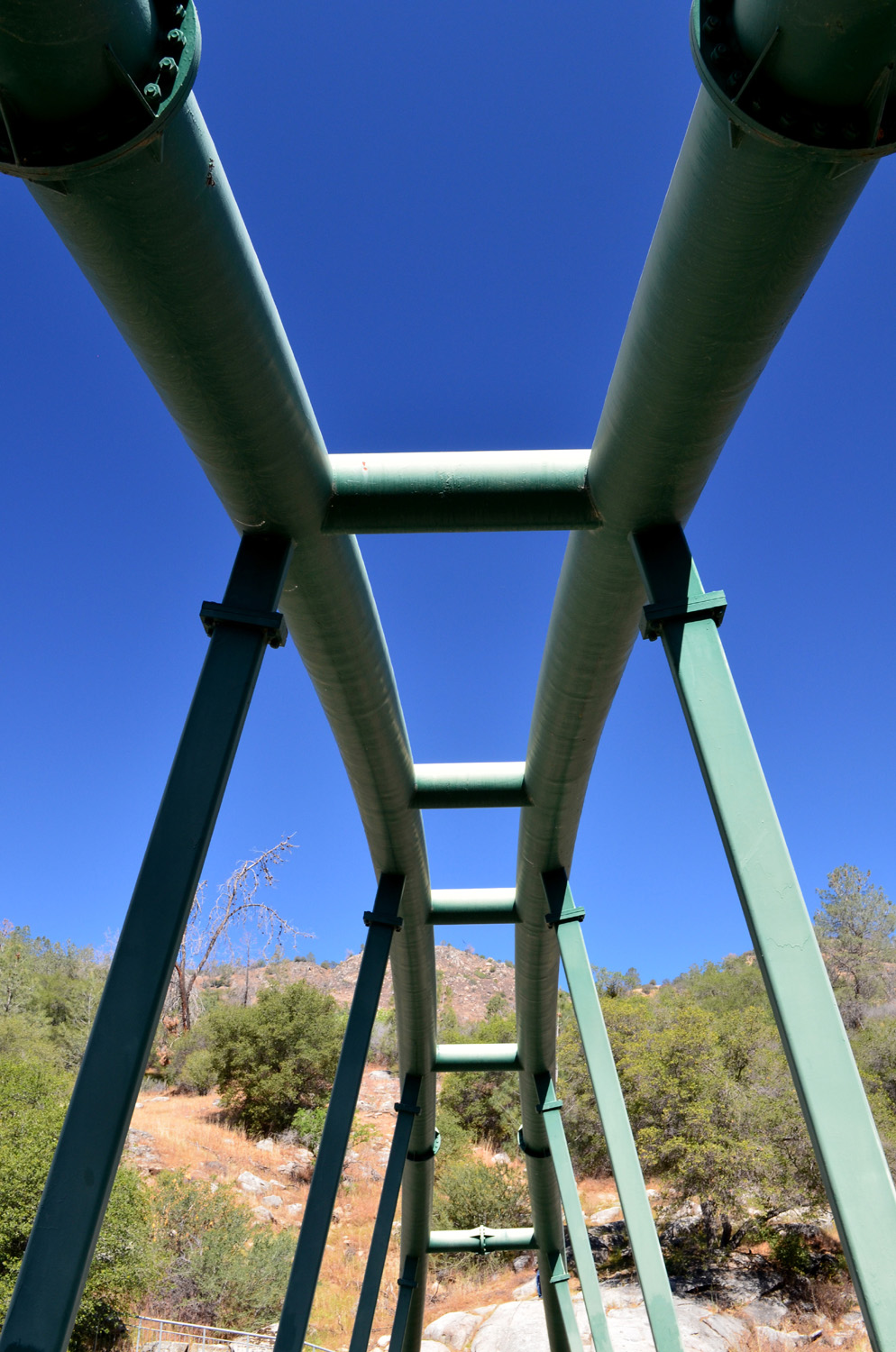
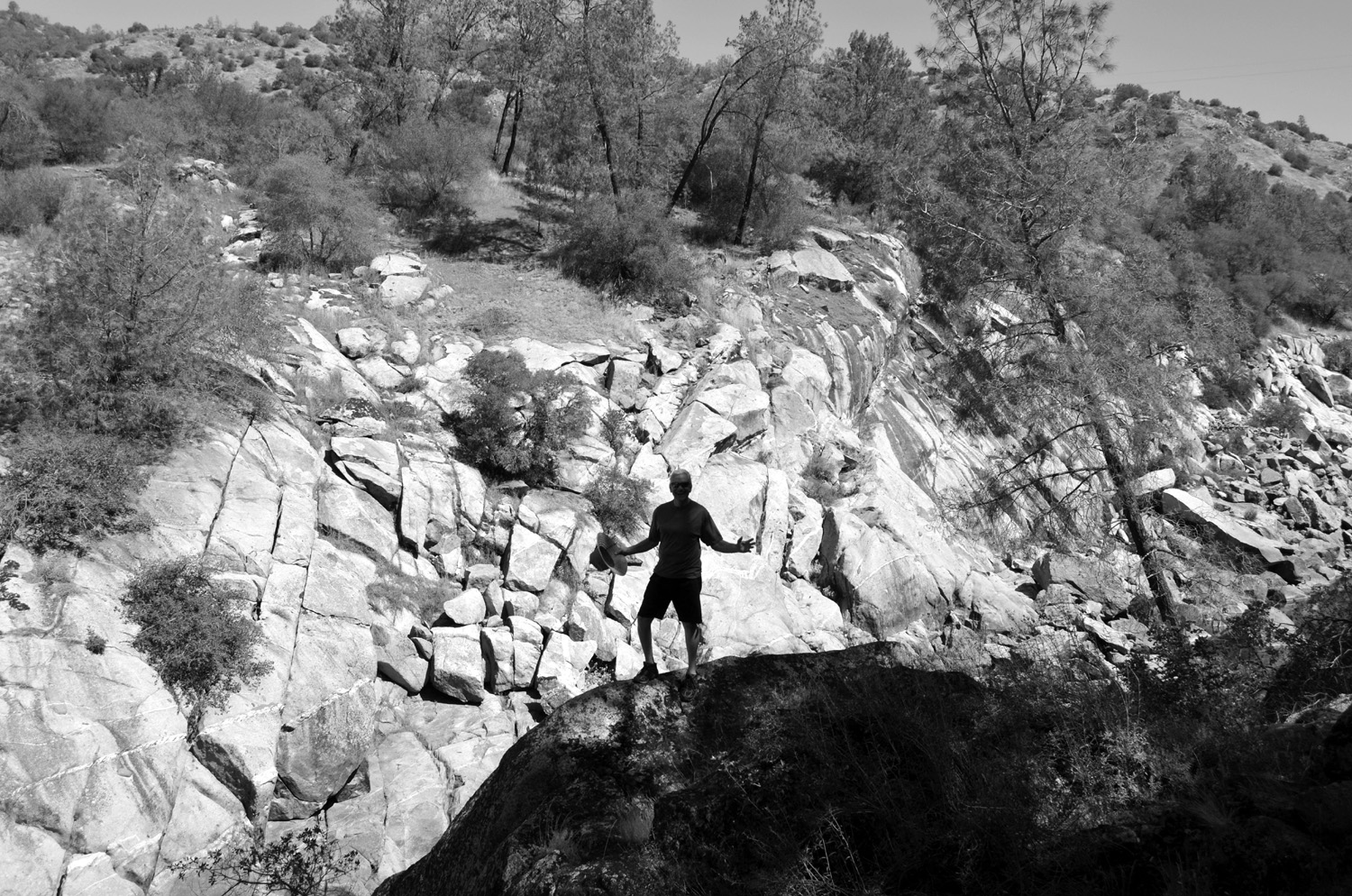
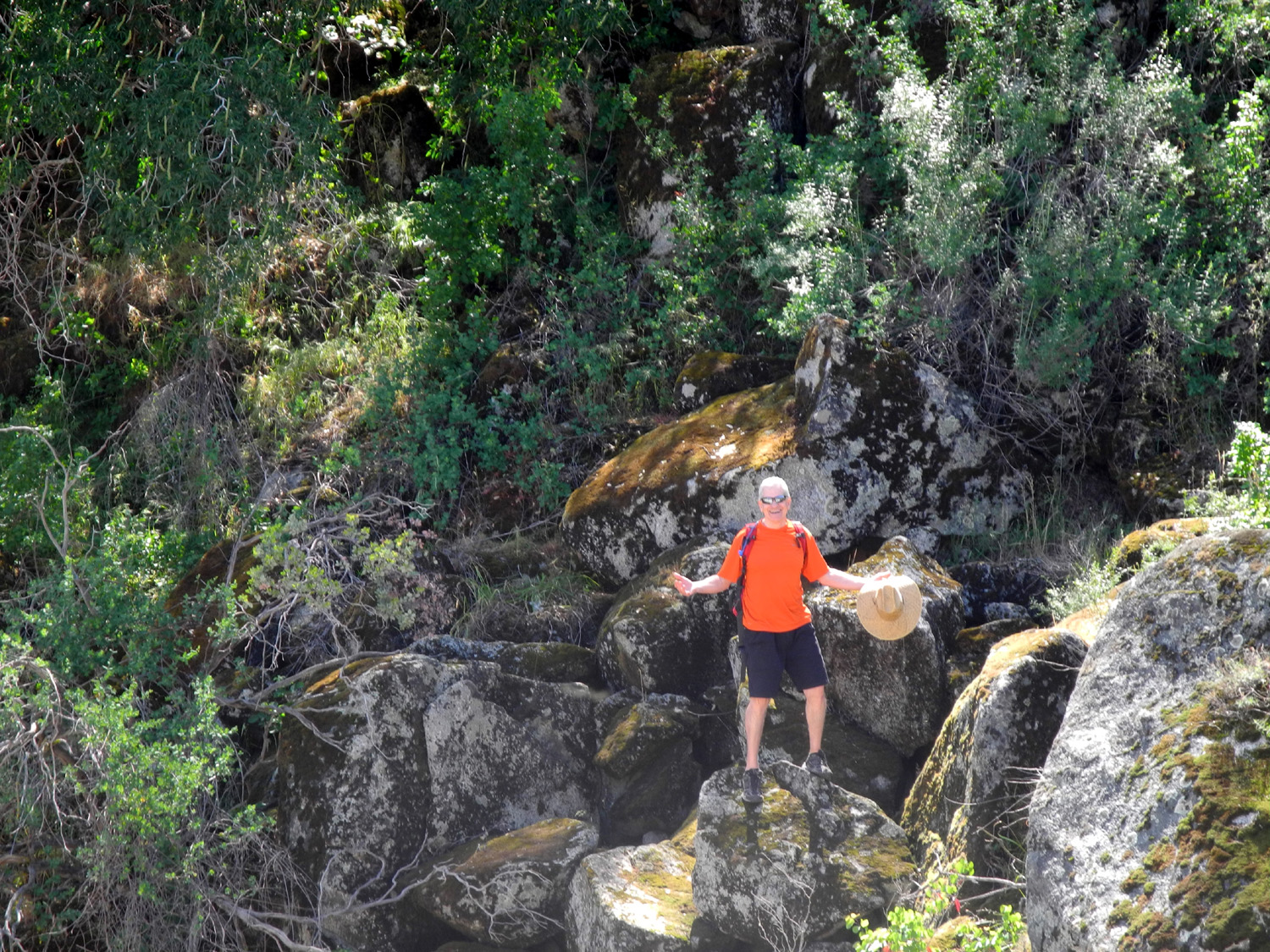
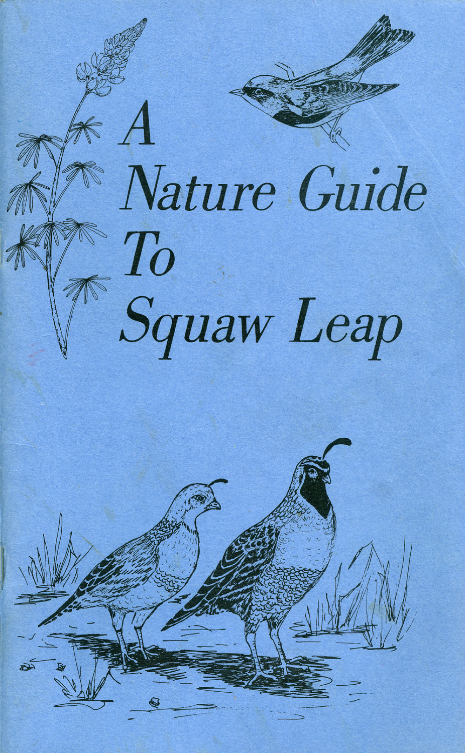
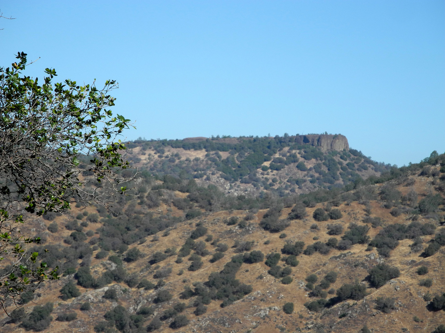
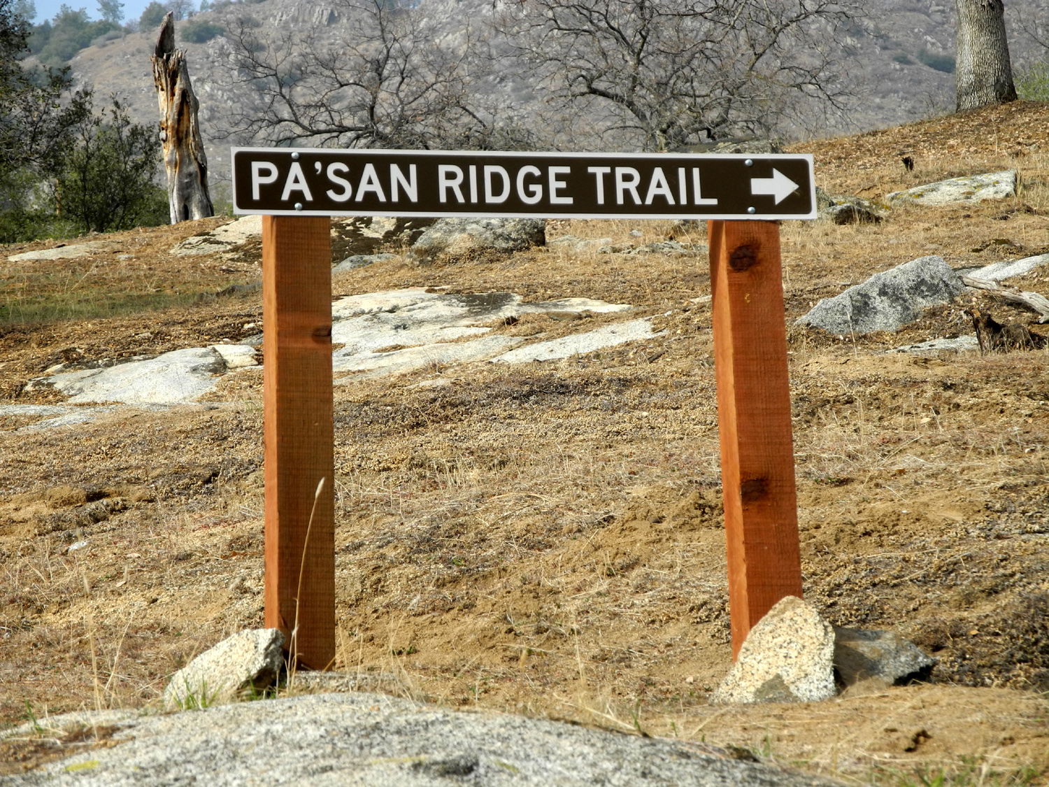
Continuing our search for green grass and wildflowers, on April 13 the Ramblers journeyed to the San Joaquin River Gorge Special Recreation Management Area, which was formerly known as Squaw Leap, and which I will refer to simply as "San Joaquin Gorge." This is a foothill area ranging from about 800 feet in elevation at the San Joaquin River, 1,200 feet at the parking area, and about 2,200 at the top of the table mountains on both sides of he river. There are a number of hiking trails, one of which we hiked in November of last year. That one runs high above and parallel to the river, with gentle ups and downs. This time we wanted to try the somewhat more difficult route, known as the Bridge Trail, that goes down to and across the river. When I first walked down that trail about 35 years ago, I would not have considered it "difficult." In fact, one time I went down and back three times in one day. However, they have been making it steeper lately. Wes has hiked the trail and the several miles of loop trails on the other side of the river a number of times, but it was the first time "down in the gorge" for Julie and Carolyn. Anticipating warm weather, we got a fairly early start, with a couple of stops to enjoy the view from the road a mile or two before arriving at the parking lot. This is where I finally got a photo I've been wanting for years - a shot of Bug Table, a small flat-top mountain some distance from the other table tops around the area. The weather was very pleasant when we got on the trail, although we welcomed the breeze that occasionally rose up from the river canyon. Each trip brings a different batch of wild flowers, and we had brought a booklet with information to identify plants and animals, as well as a single-sheet chart showing many flowers of the area. The ones that we saw the most of were mustang clover, common madia, and farewell to spring. In many cases the grass had grown taller and thicker than on our earlier hikes, so the flowers were often partially hidden in the thick greenery. Emphasizing the changes, we saw almost no fiddlenecks in bloom, one of the most common flowers on earlier trips. However, there were many areas thick with this plant with the blossoms gone to seed. From the trailhead to the river is about a mile. The trail is almost all down hill, but fairly gentle most of the way. We travel slowly, stopping to look at stuff and take pictures, so it probably took us close to an hour to reach the bridge. We rested there, enjoying a snack, taking the traditional "Wes on the rock" photo as well as a group picture and other scenic shots. On the northern side, the trail climbs a short distance from the bridge to a fork. Eastward from there the Ridge Trail runs along the upper part of the canyon, then winds up over a ridge and loops back around to the west and joins the River Trail. From the fork mentioned above you can go the other way and immediately be on the River Trail, which goes down to the upper part of Millerton Lake on the Madera County side. Completing any of these trail sections would be a hike of many hours. On one of my earliest visits, I hiked the loop via the Ridge and River trails back to the bridge, but it was a backpacking trip and we camped overnight along the way. I've gone up from the fork on the River Trail to various places on that side many times, both backpacking and day trips. However, the Ramblers did not go beyond the bridge, but started back up the hill. Of course, this took a bit more effort than going down, but we took it easy and found new things to stop and look look at. It helped that we frequently had the usual upstream flow of air to provide a cooling breeze. Once back at the parking lot we changed out of our boots, cooled off for a few minutes, then drove to the nearby visitor center. This is a very good facility that does not get as much attention as it deserves, because it is somewhat out of the way, about a half mile down the road that goes to the group camp and equestrian area. Its existence and location are not readily noticed from the main parking lot. The BLM staff people on duty are always friendly and helpful, and the Ramblers enjoyed their visit, a first for Julie and Wes. After looking at the exhibits and getting our questions answered, we started back toward home, but of course, lunch was first on the agenda. As we had in November, we stopped at Velasco's in Prather and enjoyed Mexican food. As we wrapped up this
trip, we discussed the fact that it would probably be our last low
elevation hike of the season. With temperatures moving into the 90s
in the weeks ahead, we would need to head for cooler evergreen
forest areas. Fortunately, roads from our home base lead into some
of the finest mountain recreation areas in existence. --Dick Estel, April 2015 |
||
|
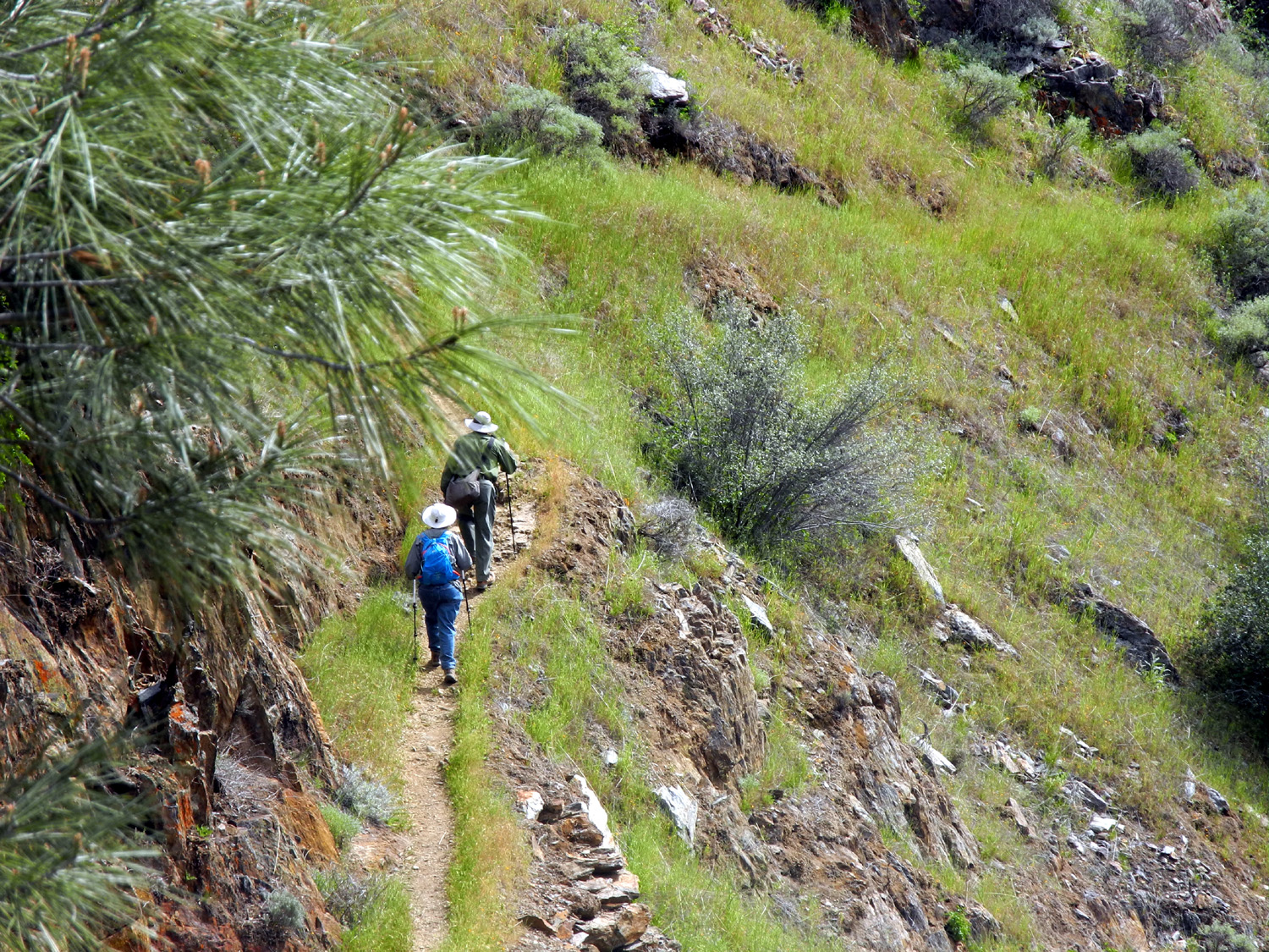
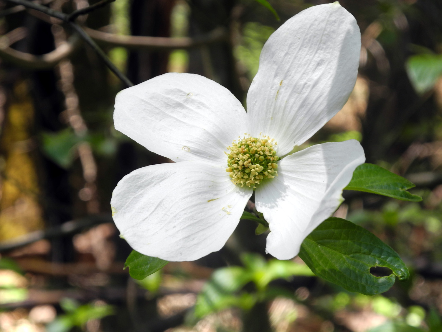
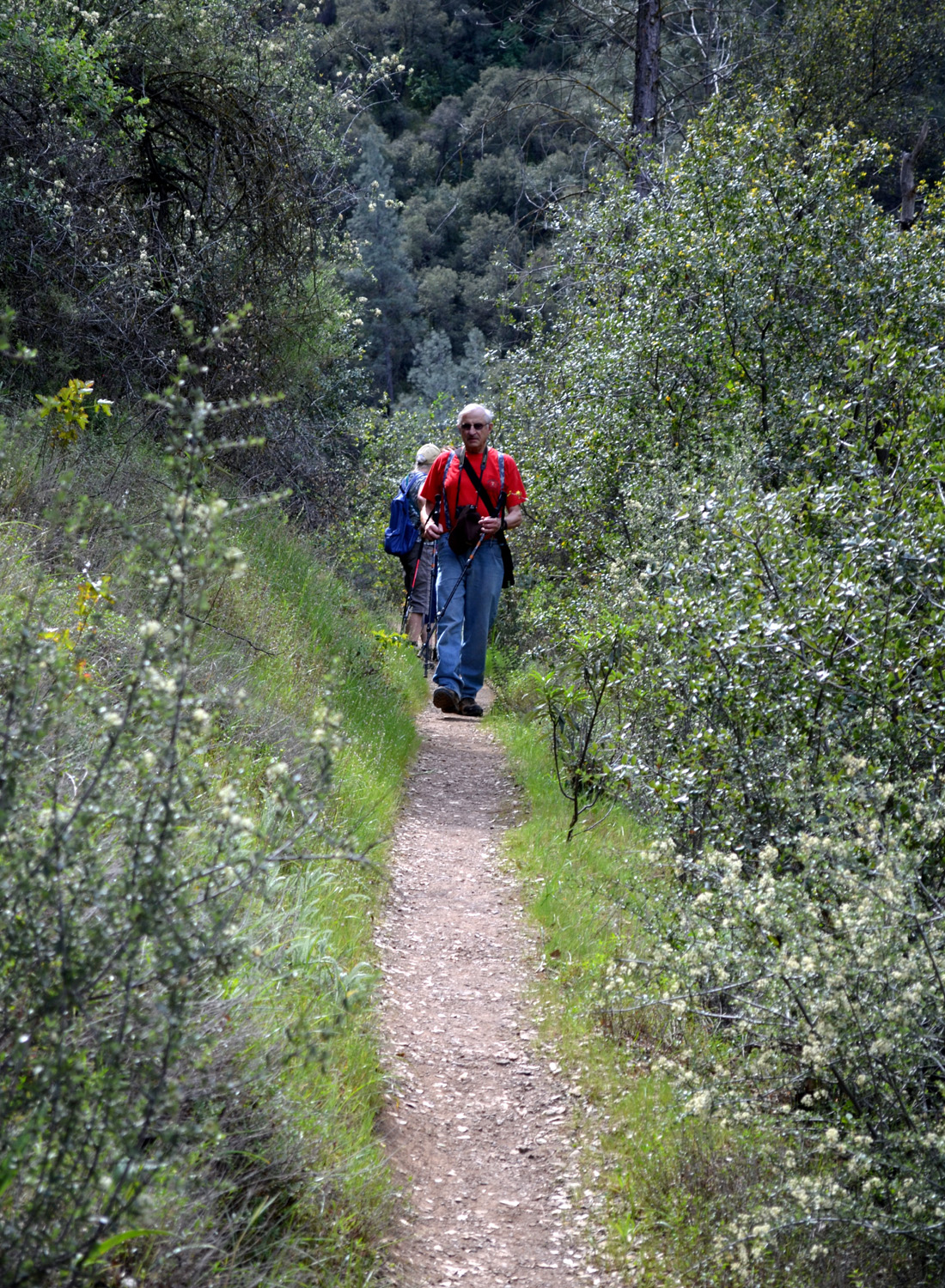
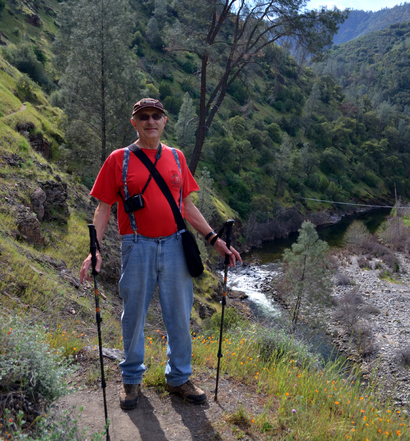
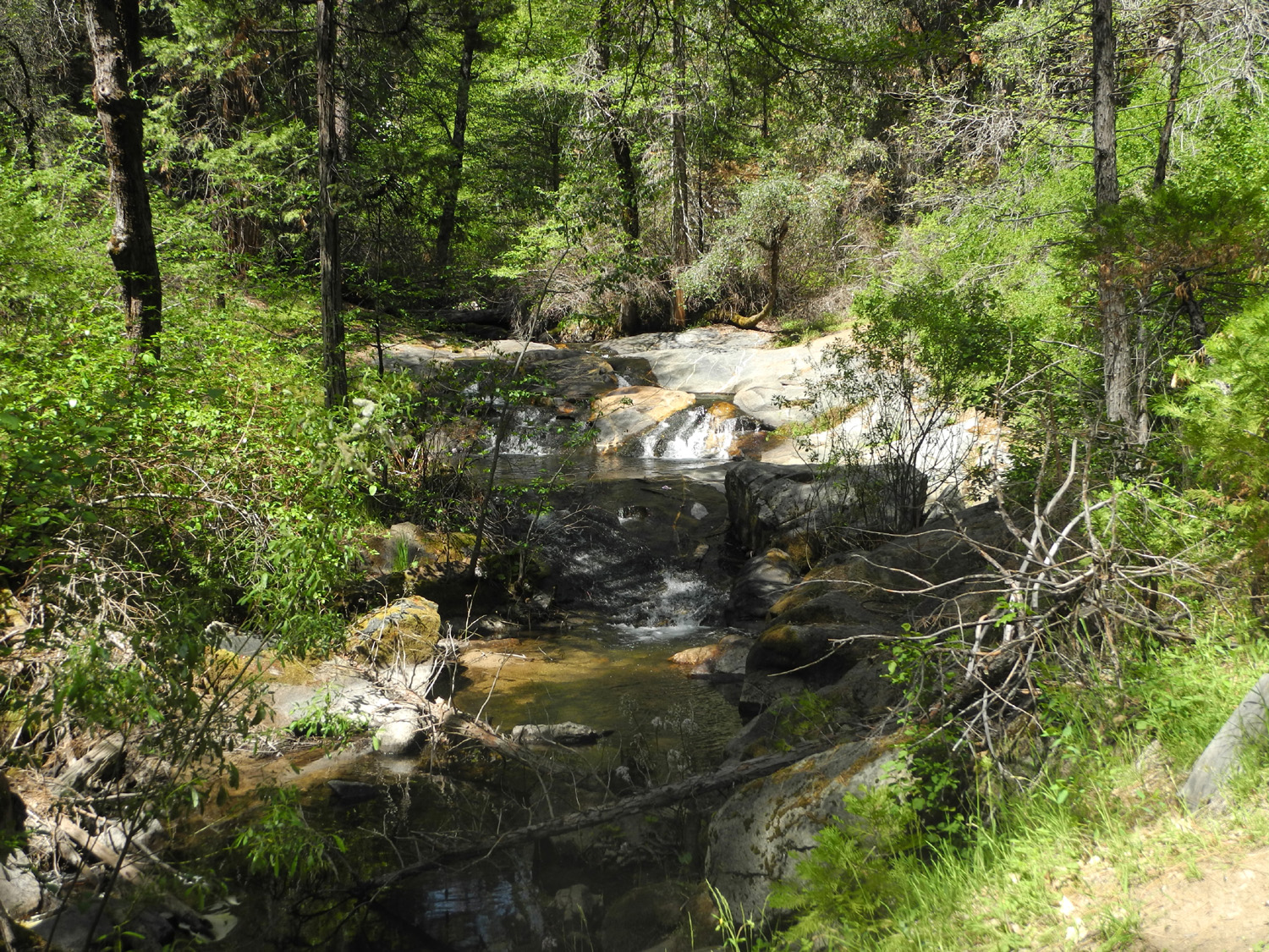
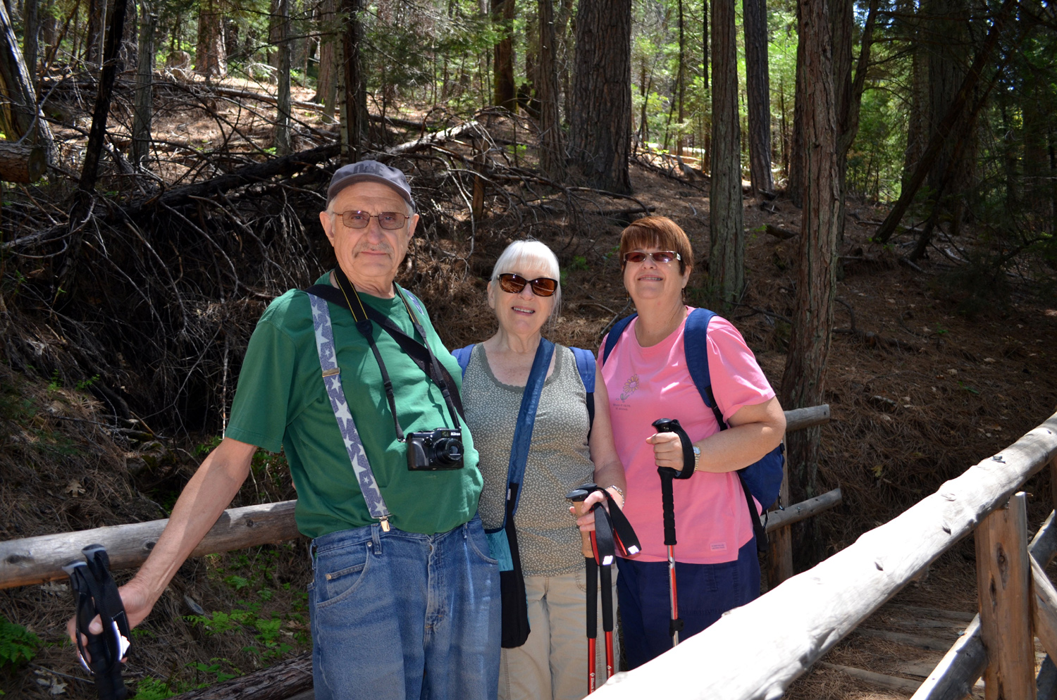
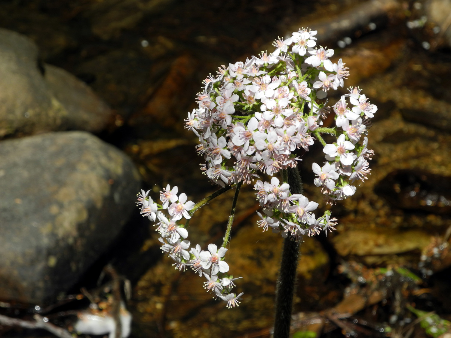
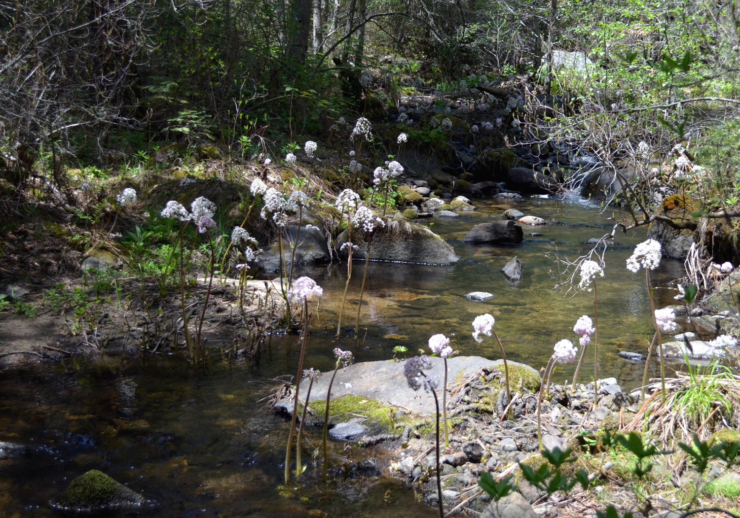
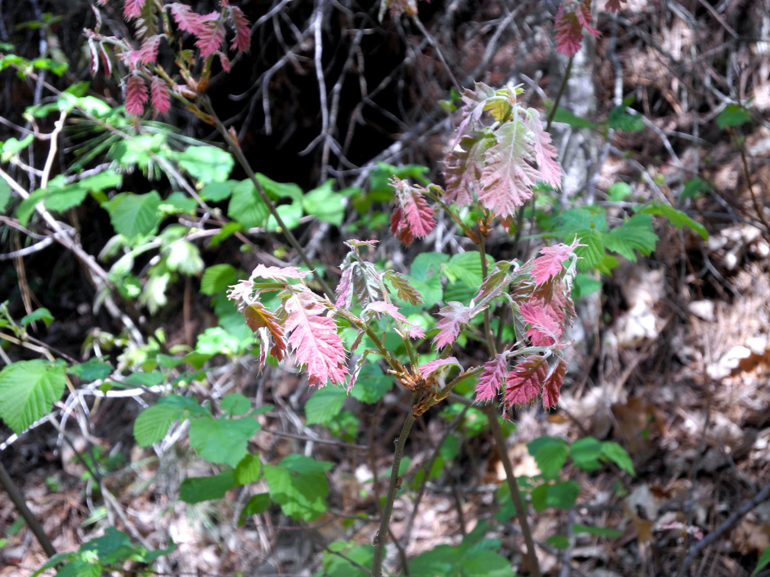
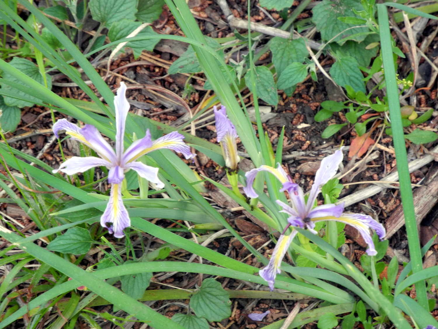
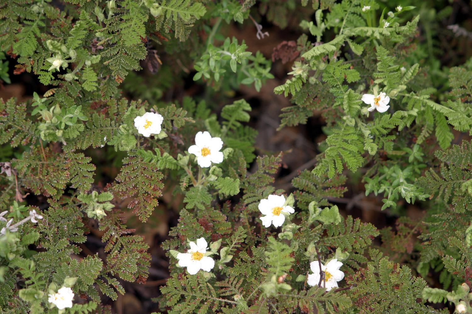
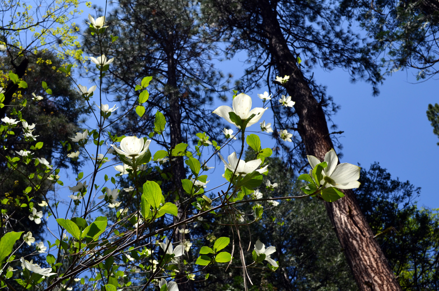
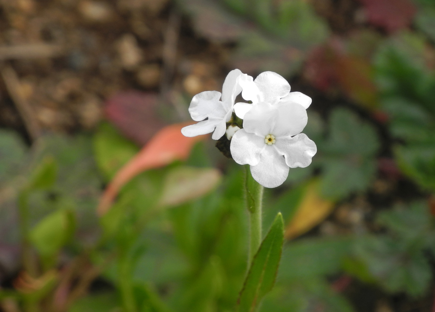
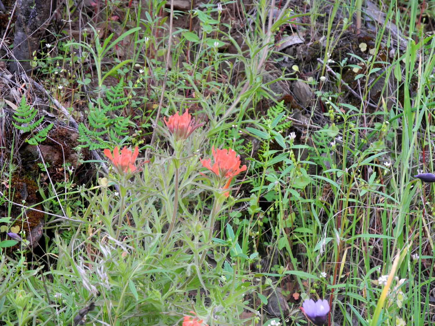
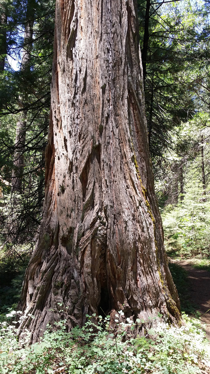
Lewis Creek Trail With warm weather a regular occurrence, we launched our summer hiking program May 5 on the Lewis Creek Trail, which lies between 4,000 and 5,000 feet in elevation. The trailhead is located on Highway 41, a few miles above Oakhurst, and offers two options. The right fork goes about a half mile to a viewing platform below Corlieu Falls, a route I've taken several times. The route to the left, which was new territory to all of us but Wes, goes about two miles to Red Rock Falls, but offers plenty of things to enjoy if one does not want to go that far, which we didn't. However, looking at the trail map, I think we turned back less than a quarter of a mile from the falls. We got started from Fresno about 9 a.m., and got on the trail about 10:30 after coffee and rest stops. The high temperature was expected to be about 70, meaning it was down in the 60s during most of our hike, very comfortable for walking. A very short distance into the hike we faced our first challenge - a footbridge that crossed Lewis Creek is no longer there. A number of cut-up tree rounds have been placed in the creek, and we all made it OK, but it required stepping carefully and using our poles to avoid wet feet or worse. If we had received normal rainfall, this creek crossing could have been difficult or impossible. Wes had promised us dogwood trees in bloom, and it was not long before we started to see these large white blossoms. The trees are not very big, up to 20 feet and with small, sparse branches, so the flowers are highly visible, and make a nice contrast with the various shades of green of the pines, firs and cedars. There were a number of very large old cedars along the trail, which I thought were probably old growth trees. Cedar is not commonly cut for lumber in this area, so it's likely they were left uncut when the pines and firs were logged in this location. The trail more or less parallels Lewis Creek, rising up above it, then dropping back down; and of course the creek itself makes a number of sudden drops over the rocks, while the trail maintains a gradual up and down. The thick forest makes it mostly a shady hike. We enjoyed the beautiful weather, spectacular dogwoods, a variety of trees, and many species of flowers large and small, some familiar and some unknown. The most interesting was a large round flower head with thick fuzzy stems that grew on the rocks right in the creek. Most of these were white, but a few had a noticeable pinkish caste. Back home, I was able to use the Yosemite wildflower web site to identify these as Indian rhubarb. I also caught a glimpse of a small, lizard-like creature, probably a newt or salamander. When we returned to Wes's vehicle, we headed down hill to Oakhurst and lunch. In honor of Cinco de Mayo we chose El Cid, an excellent and very popular Mexican restaurant on the northern edge of town.
Weather update: I thought I might need to update my opening sentence about warmer weather. We had a pretty big storm two days later, on May 7, with snow in the Sierra and the southern California mountains, with the temperatures significantly cooler the next few days. I was in Parkfield that day, and we had pounding rain for about four hours straight, with showers on and off before and after that. As I finish this report
on May 14, it has again cooled off with light rain in the morning,
and thunder showers in the evening. Highs in the the 70s are
expected the rest of the week.
The rain and cooler temperatures are much appreciated, but probably
will come to an end sooner rather than later. More about flowers: I used the Yosemite Area Wildflowers web site to identify Indian Rhubarb and a few other flowers. Besides providing information, the descriptions are clever and often humorous. This brief quote is only one example: "The Yosemite area is home to hundreds of varieties of wildflower, with dozens more clamoring to get in all the time. The great bloom-off starts in Hite Cove, a few miles outside the park at around 2,000 feet elevation, in late February or early March, and for the most part spreads like a stadium wave from low to high elevation." Highly recommended! One of
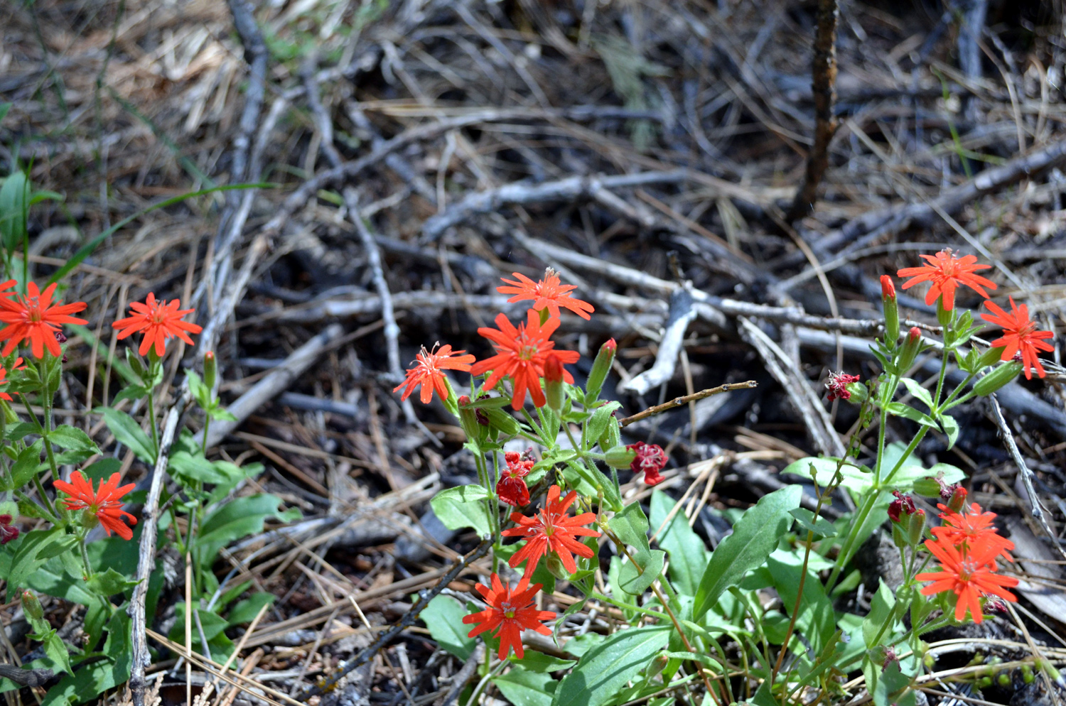
the flowers we saw a lot of is something I have always known as Indian
pinks. The other Ramblers were bothered by the fact that these
flowers are clearly orange, and I have always wondered about the
name, but the Yosemite web site agrees with this name, and even
offers an
explanation. --Dick Estel, May 2015 |
||
|
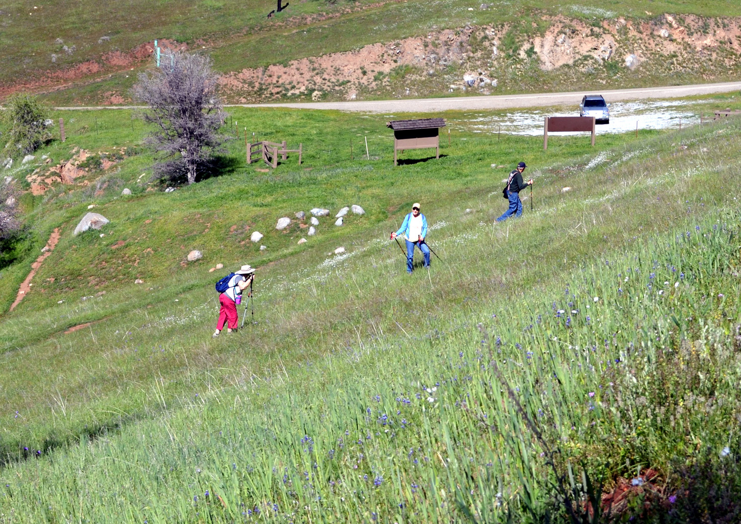
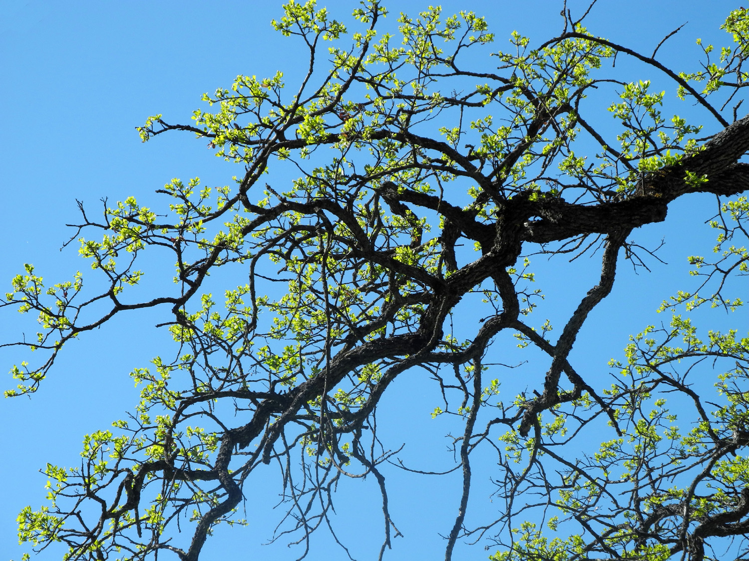
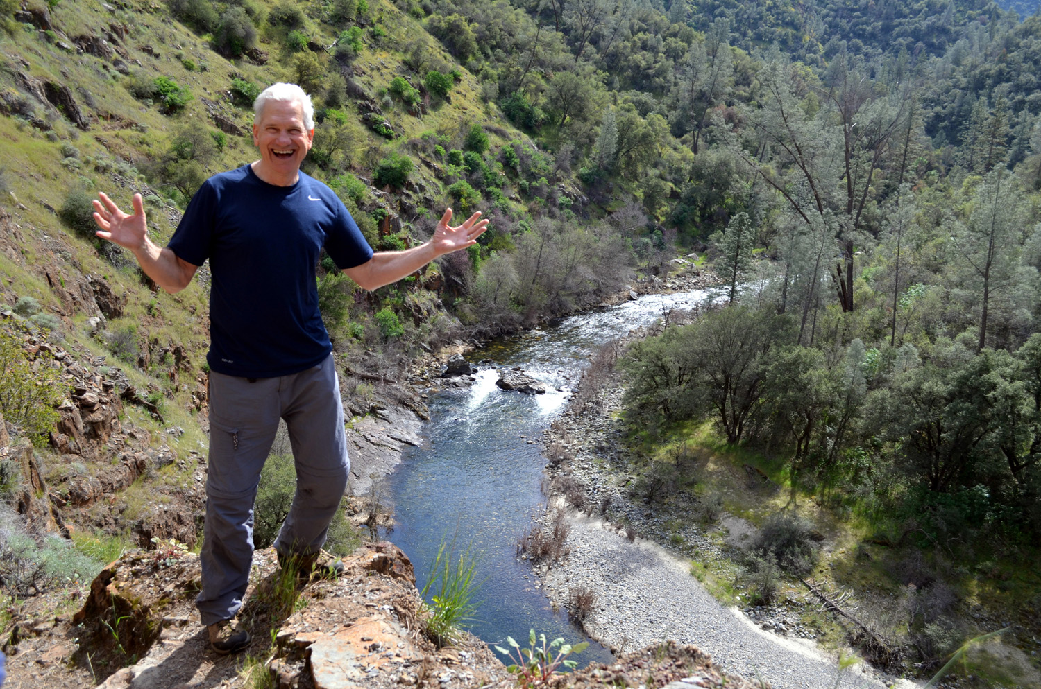
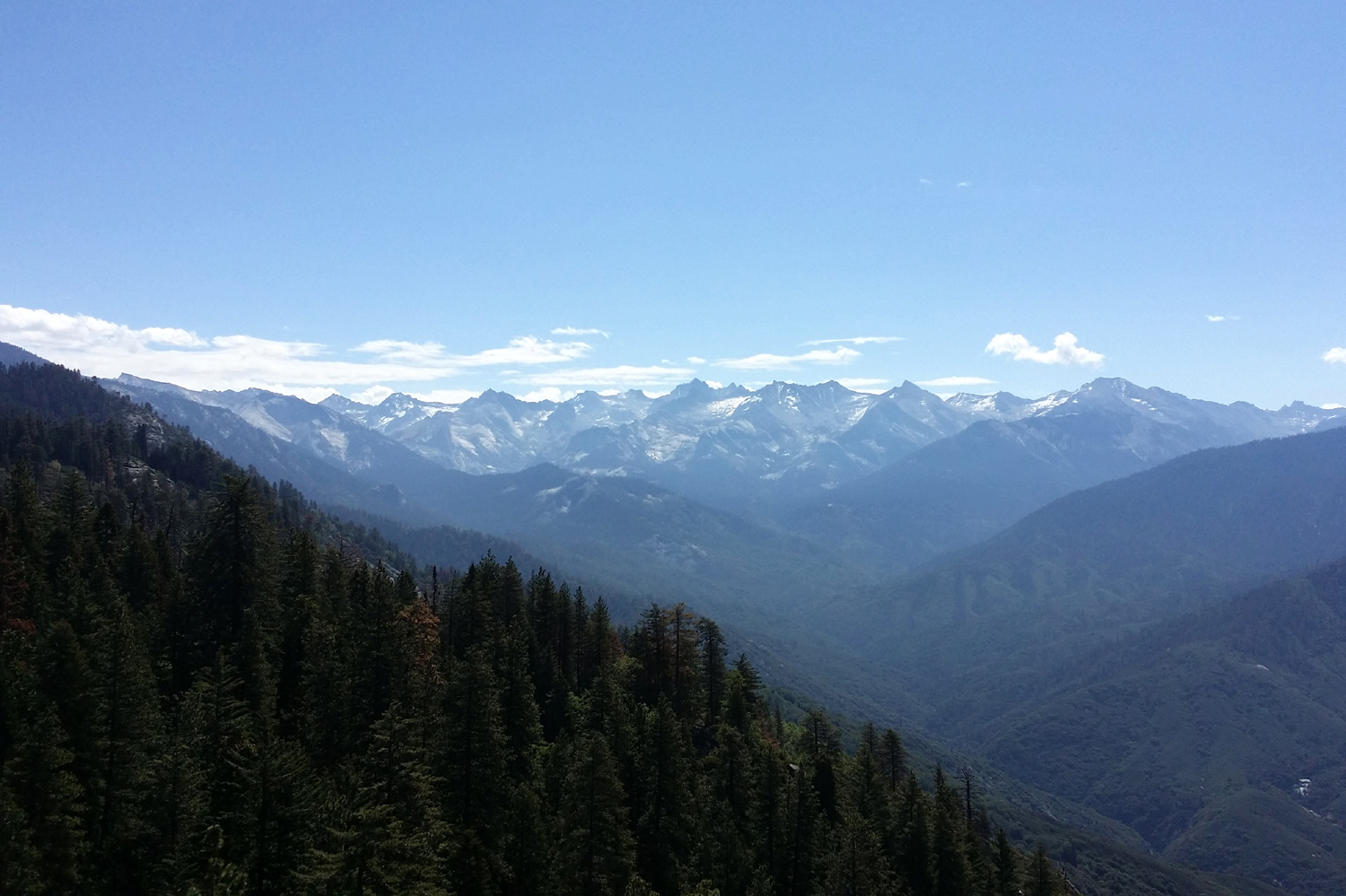
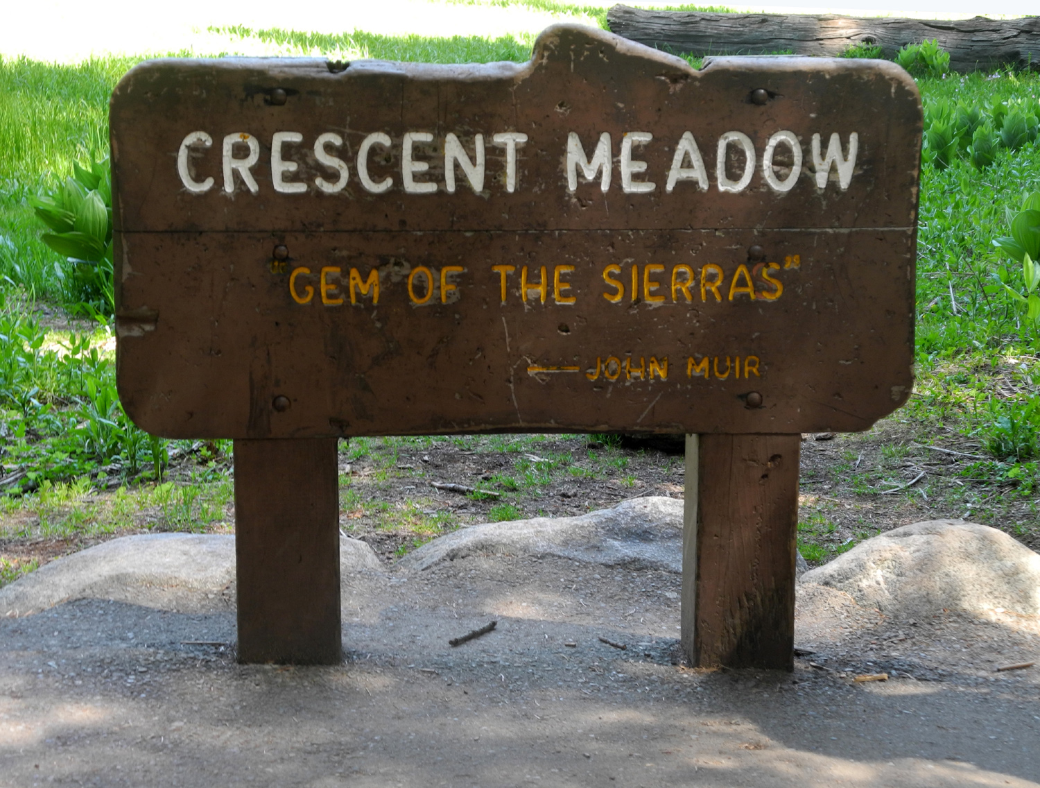
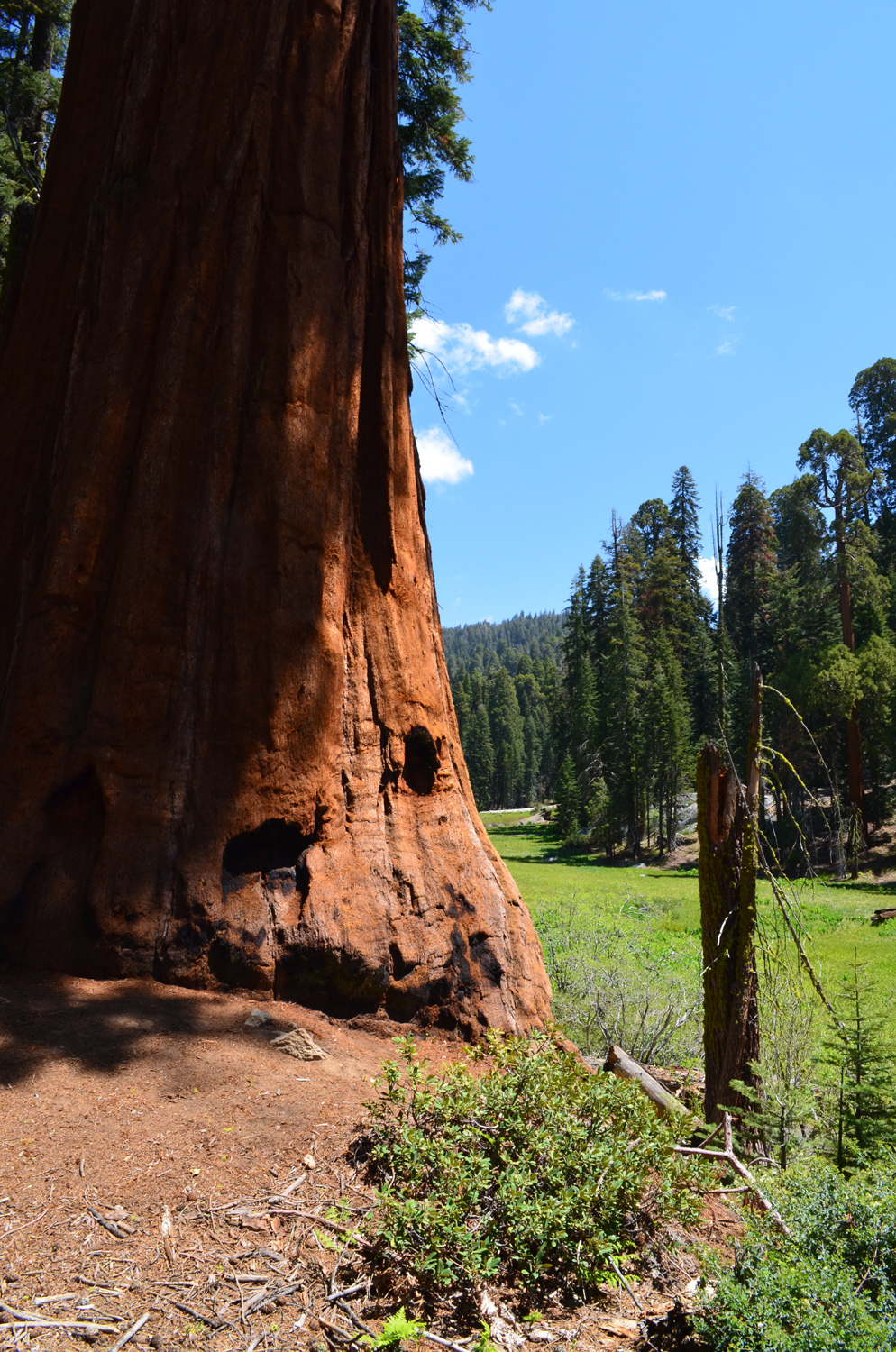
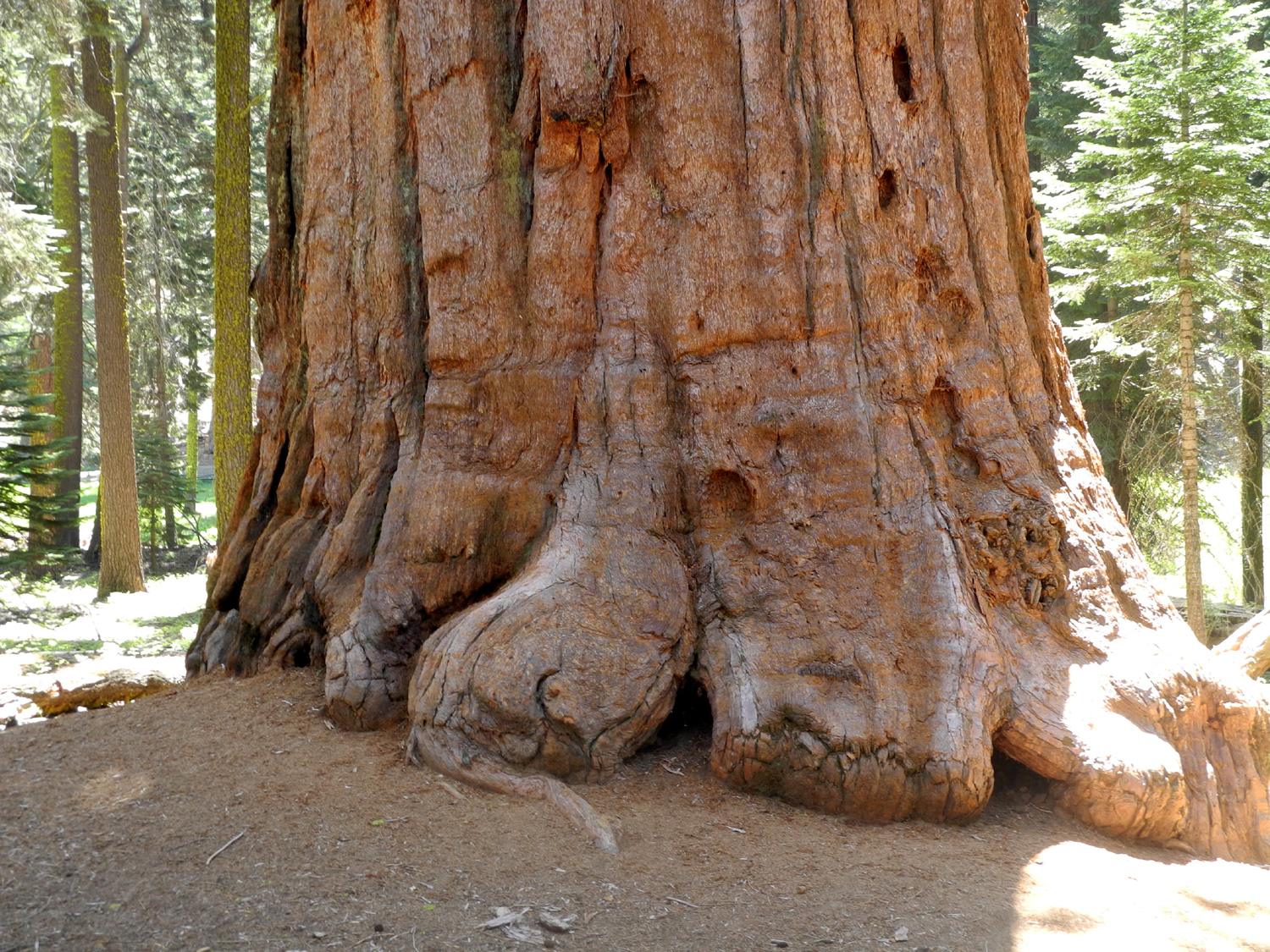
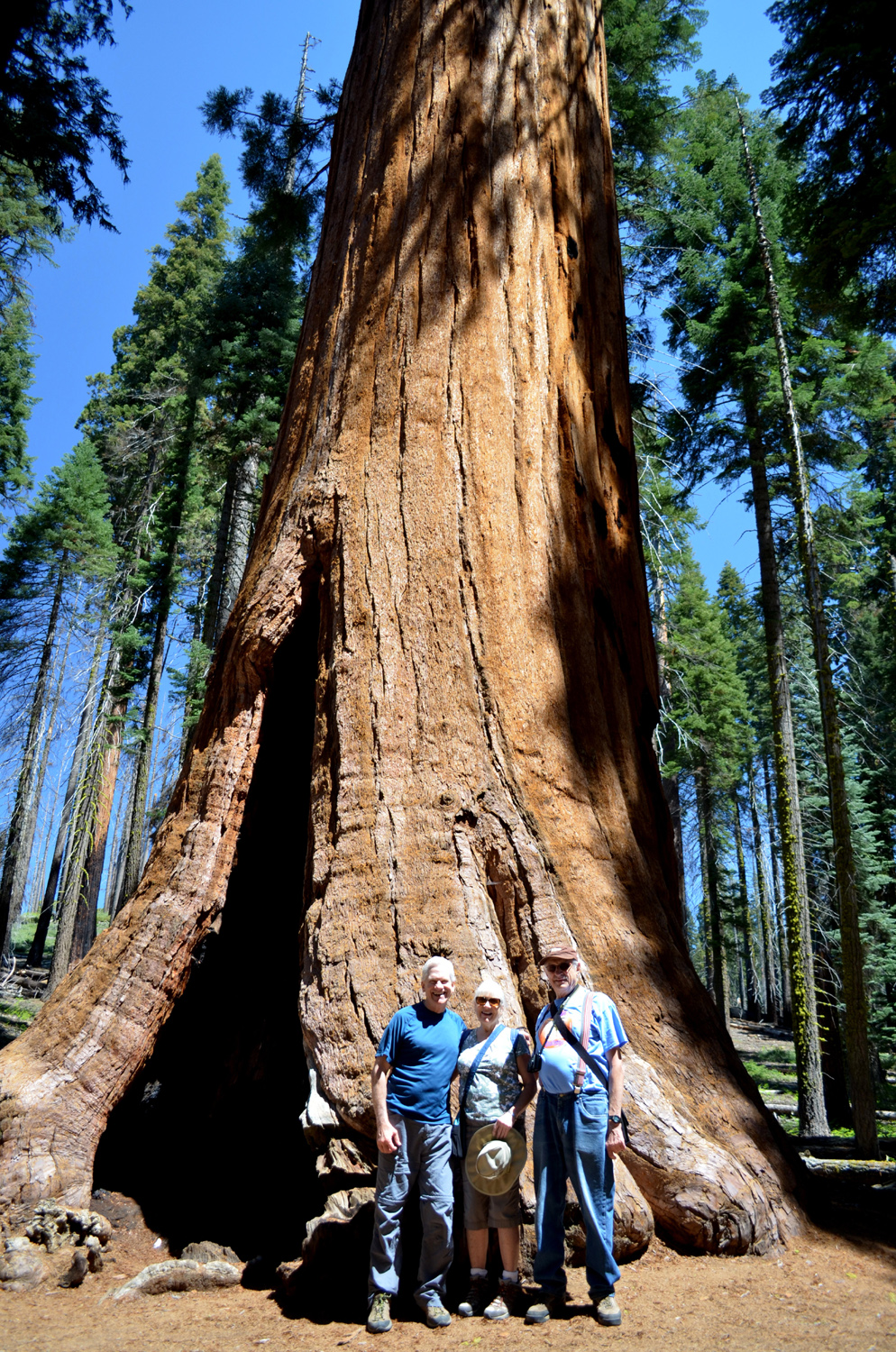
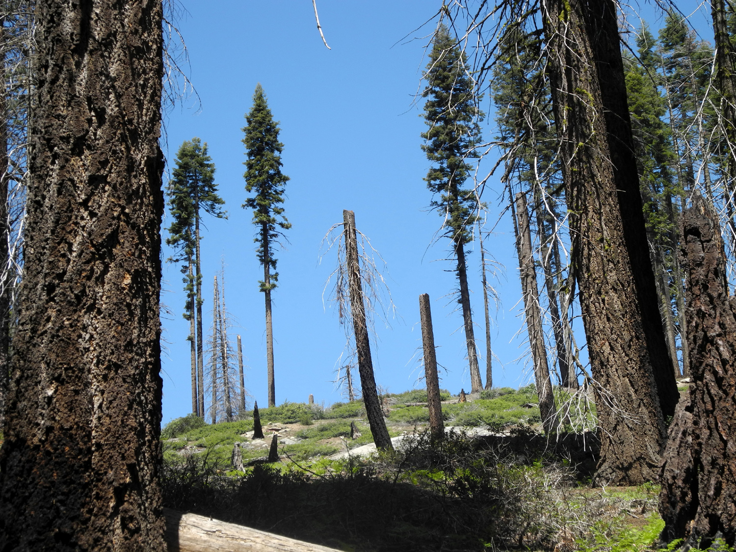
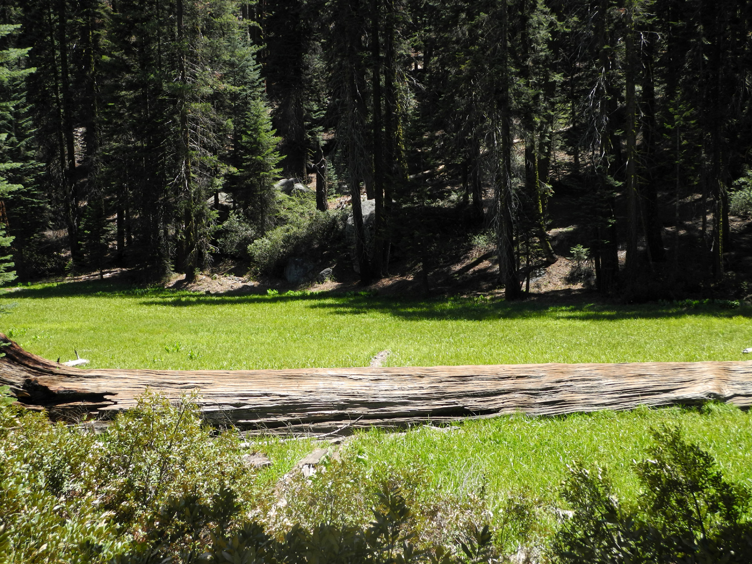
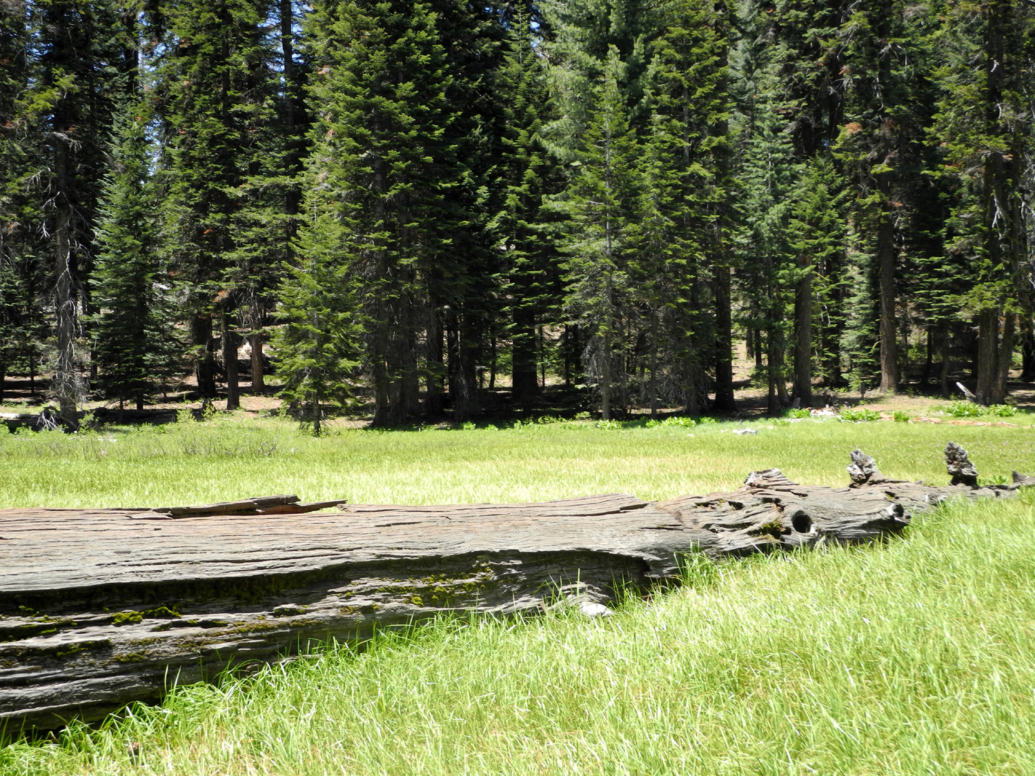
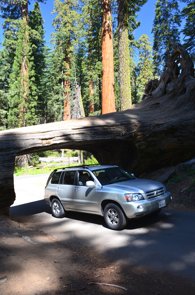
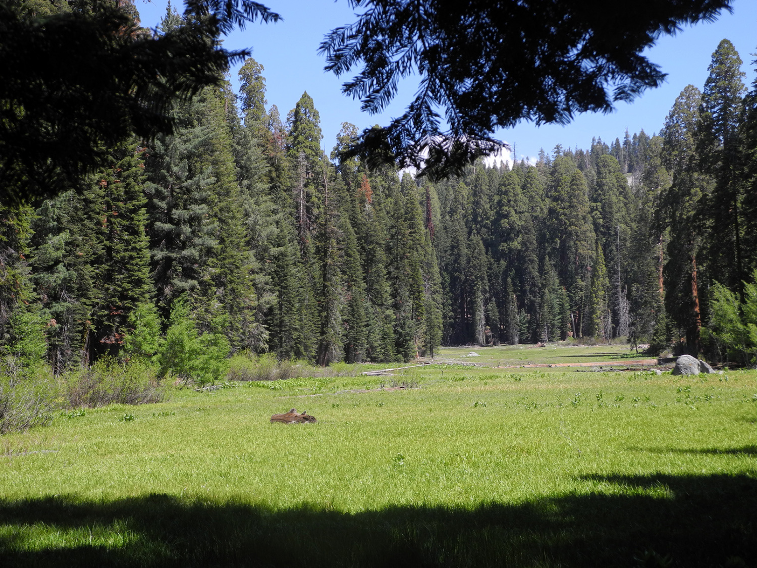
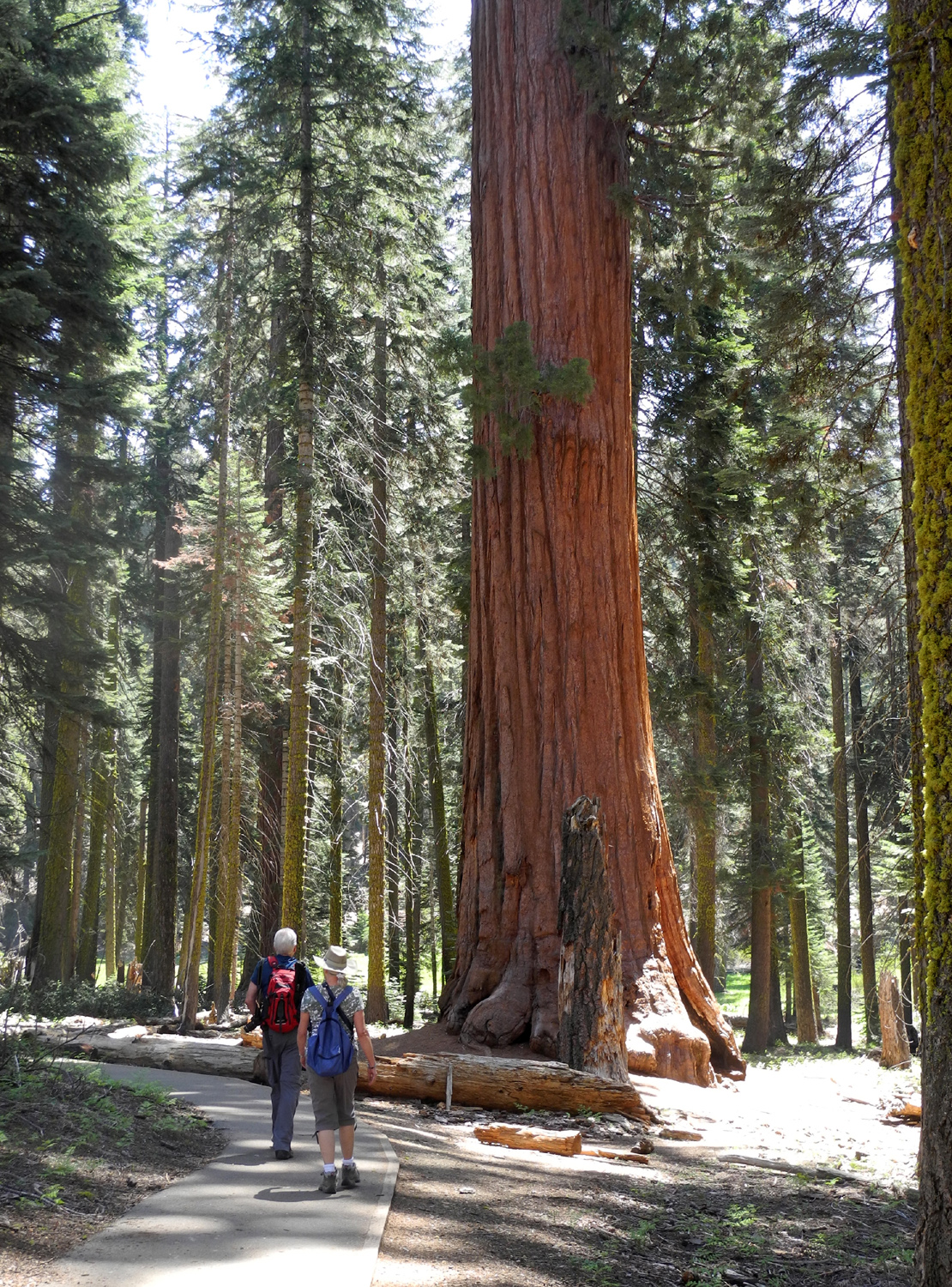
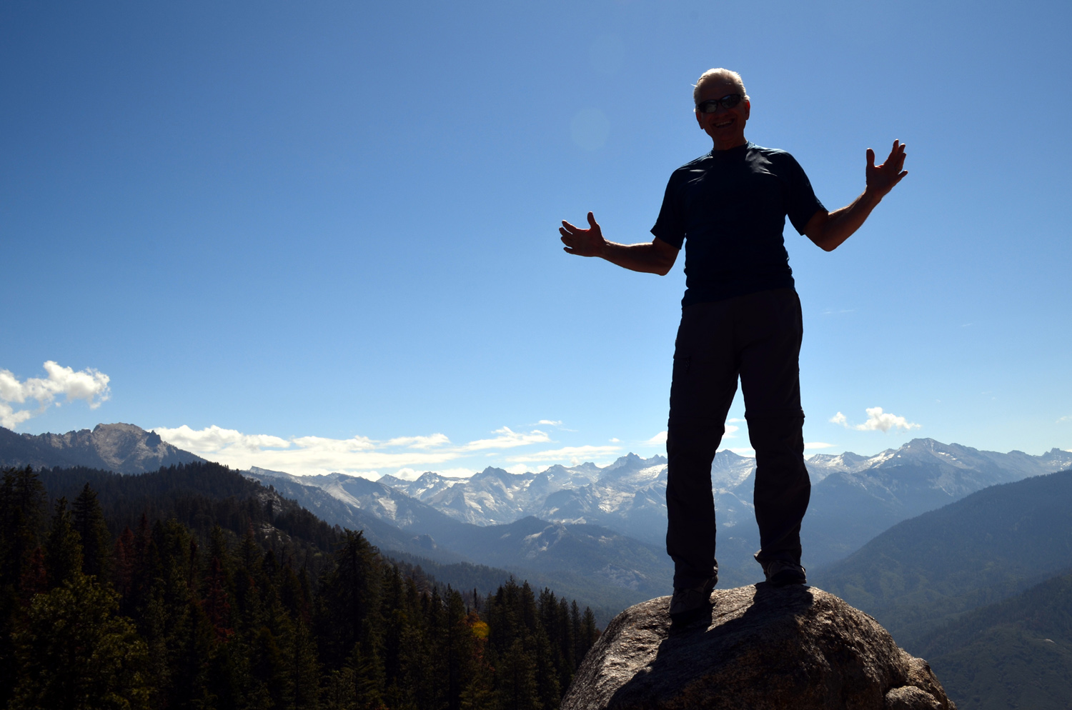
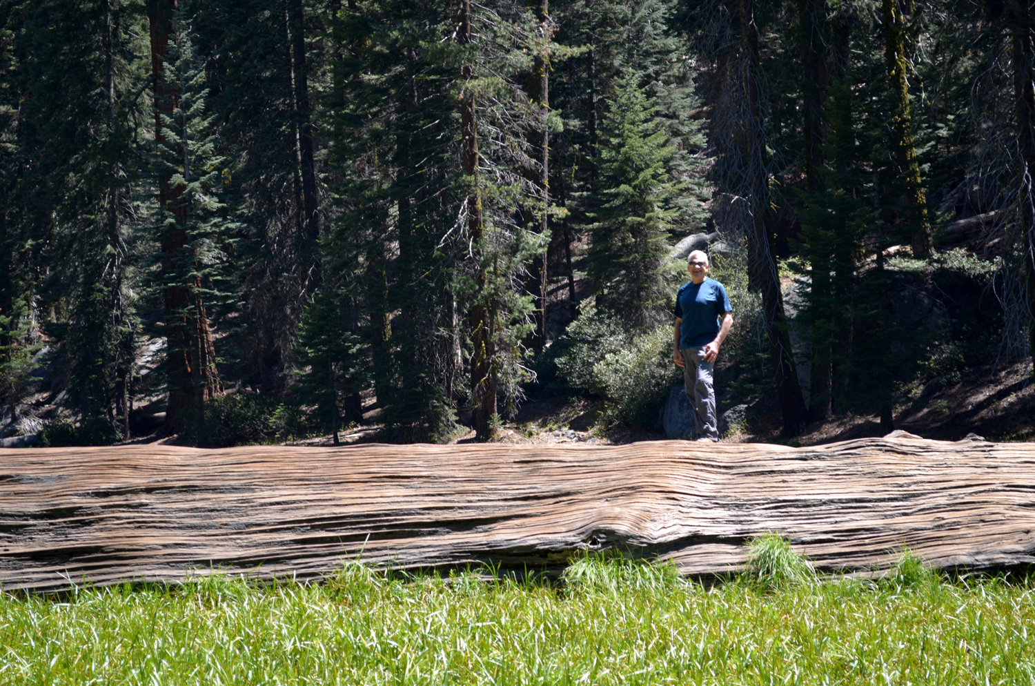
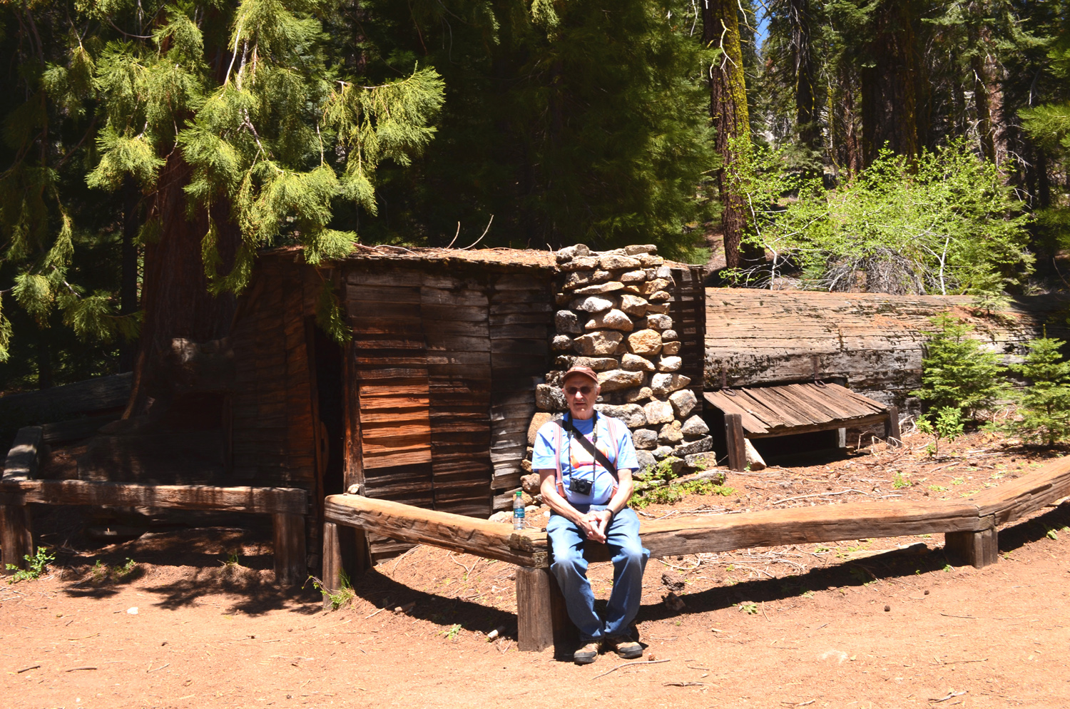
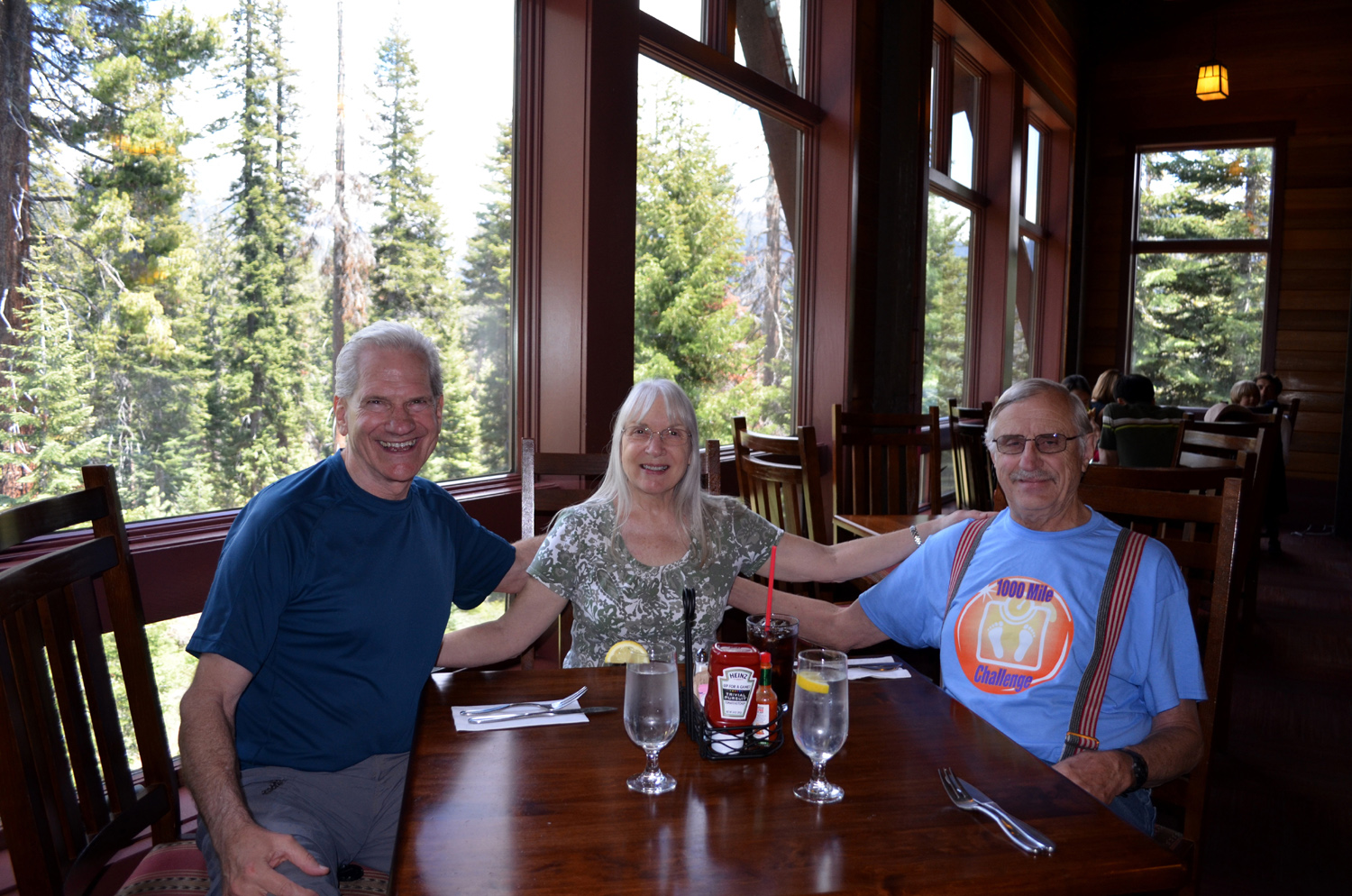
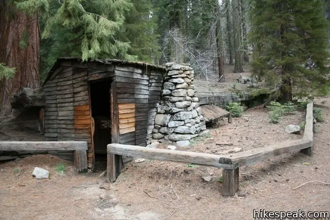
Crescent Meadow John Muir, who visited many areas of California's most dramatic mountain range, called Crescent Meadow "The Gem of the Sierra." Therefore it was only logical that this should be one of the places the Ramblers wanted to visit. Crescent Meadow is located in Sequoia National Park, in the Giant Forest area, and is reached by a three-mile road that leaves the main highway at the Giant Forest Visitor Center. On weekends and holidays the route is closed to private cars, and a shuttle service is provided, but we were able to drive in, since our hike was on Thursday, June 4. It's a long drive from Fresno, so we got an early start, with Wes picking up me at 7:40 and Carolyn a few minutes later. Julie had recently taken a minor fall, and was not able to join us, so we were just the three "mountaineers." We had been watching the weather forecast closely, since there was a chance of thunderstorms as early as 11 a.m. However, we had sunny weather throughout our hike, with some clouds forming over the higher mountains east of our location. Wes had promised dogwood blossoms again, and Carolyn and I were starting to give him a hard time, since none had appeared. Just as we did this, we saw several trees, so once again Wes delivered as advertised. A fork off the road to Crescent Meadow takes you to Moro Rock, which offers a dramatic view of the Kaweah River and the Great Western Divide. We wanted to get a look at this striking mountain chain, and knew that we could see it by climbing only a short distance up the steep Moro Rock trail, so we made a side trip before starting our official hike. We went up the Moro trail about 100 yards, mostly stair steps, and had a great view of the divide, as well as a view of Wes posing on a rock "on the edge" as usual. On the road into the meadow there is a fallen sequoia through which a tunnel has been cut, allowing vehicles that are not too large to drive through. We stopped there and got some photos, then continued on to the parking lot and started our hike. Getting to the meadow from where we parked was a matter of a few hundred feet and a few minutes, but of course, the trail continues past the meadow, and also branches off to several other destinations. The meadow itself is nice and green, and is flanked by giant sequoias near the edge, with a few large logs that have fallen into the marshy surface. As you round the southern end of the meadow, you can take a fork to the right, which goes about one mile to Eagle View, where you can see the Great Western Divide. You can also go eleven miles to Bear Paw Meadow, or sixty miles to Mt. Whitney - the High Sierra Trail. We continued on around the meadow, where there is a short spur trail to the Chimney Tree, but stayed to the right toward Log Meadow, through scattered giant redwoods, firs and pine. We spotted a fallen redwood in the meadow that was accessible from our path, so here we stopped and supplemented the "Wes on the rock" photo from the Moro trail with a "Wes on the Log" photo . As we continued up the trail, we started meeting people who all informed us that there were bears in the meadow ahead, and soon we saw several people standing on a log and looking into the meadow. We saw a bear feeding in the grass, although part of the time he was nearly hidden so we just saw a small brown mound sticking up from the green. Later we got several good looks and photos of at least three and possibly four bears. My daughter had seen bears eating in a meadow in Sequoia Park a week earlier, so there is something they enjoy there, but we were not able to find out what it was (and no one was foolish enough to walk up to a bear and ask). Later research indicated they eat "plant shoots and fresh roots." After observing the bears for 15 minutes or so, we continued on to Tharp's Log, a fallen, hollow redwood. In the 1860s Hale Tharp established a small summer cattle ranch at Giant Forest and used a fallen log as a cabin. The log was hollowed by fire through fifty-five feet of its seventy-foot length. A fireplace, door and window exist at the wider end, with a small shake-covered cabin extension. It has a table and a bed, offering all the comforts of home if you're easily comforted. We rested here and discussed our next move. The trail continues on to the north, then back to Crescent Meadow, but becomes a dirt path that goes up over a ridge. We elected to retrace our steps, with two stops - one to observe a bear in the lower section of Log Meadow, and one to visit the Chimney Tree, a short distance off the trail and adjacent to Crescent Meadow. When we got back to the car and changed out of our boots, we started back down the General's Highway, turning off to the Wuksachi Lodge where we enjoyed a delicious lunch. This is a hotel and restaurant complex built in recent years after the park service required all commercial facilities to be removed from the redwood groves. Although the area lacks the famous trees, there is forest aplenty and a great view of the rugged granite mountains above the Marble Fork of the Kaweah River. In addition to the bears, we saw two deer and a marmot along the road, as well as two lizards and numerous chipmunks and birds during our walk. We
drove home safely, looking forward to our July hike when Julie can
re-join us. --Dick Estel, June 2015 |
||
Photos
(Click to enlarge; pictures open in new window) |
||
Millerton South Bay Trail Hensley Lake Camping & Hiking Edison Point Hite's Cove Trail San Joaquin Gorge Lewis Creek Trail Crescent Meadow |
||
|
Millerton South Bay Trail |
||
|
|
||
 |
 |
 |
| Dick vs. the Machine | Our starting point | The falling water line
creates unique patterns and colors |
 |
|
 |
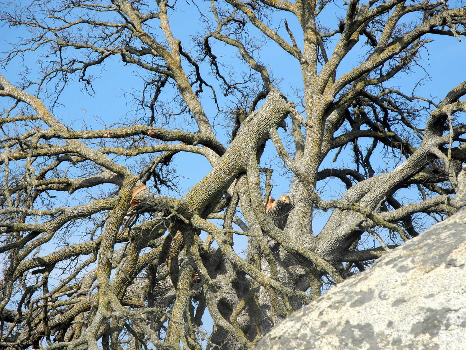
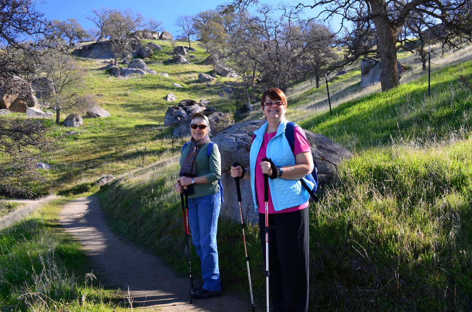
| Bare trees stand guard | Carolyn and Julie stop to pose | On a typical section of the trail |
 |
 |
 |
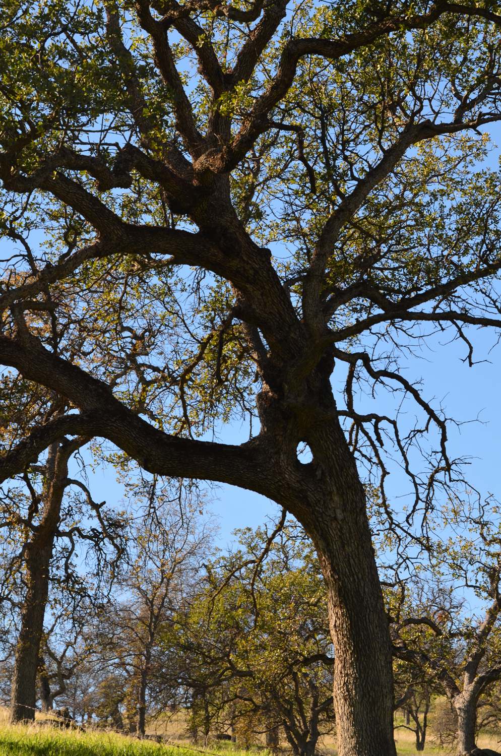
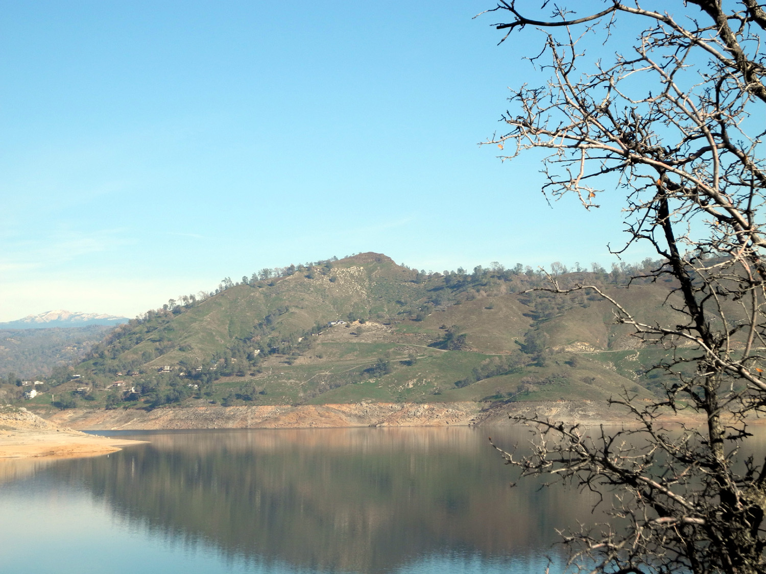
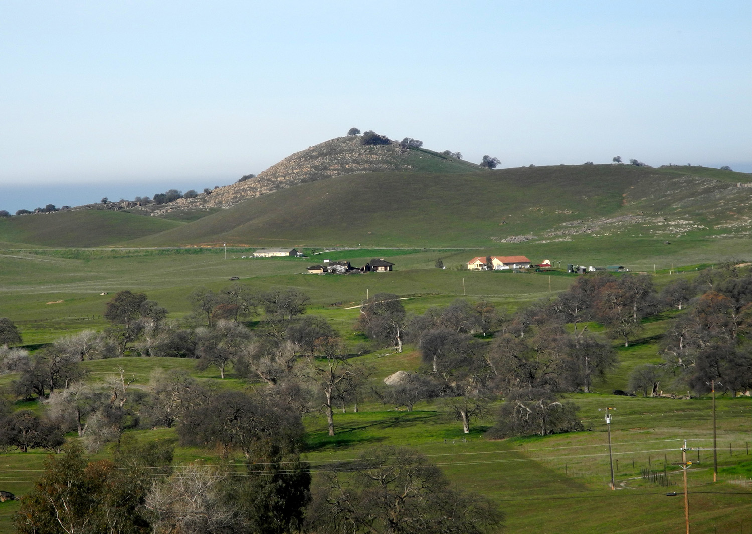
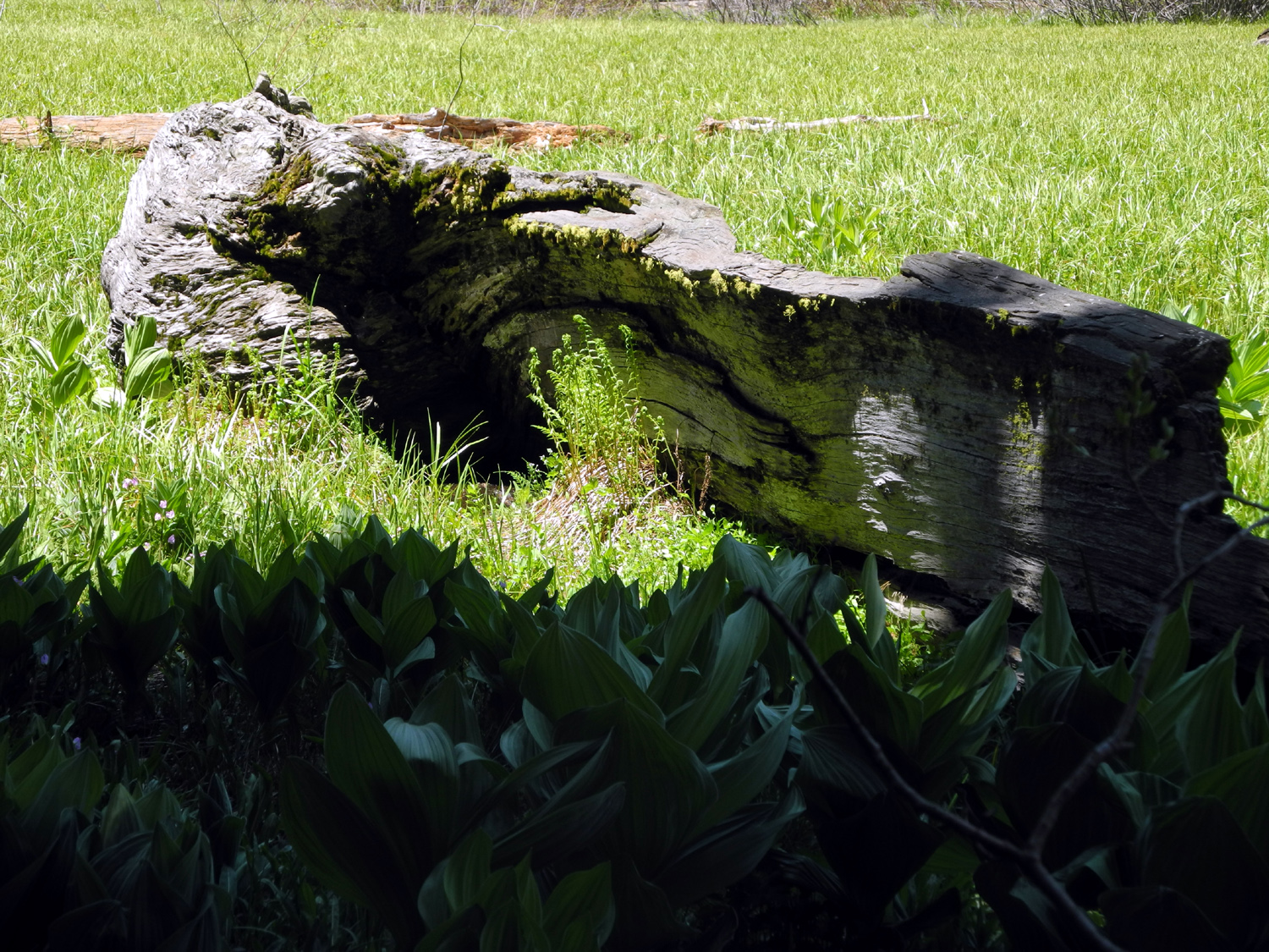
| The Arch Tree | The Window Tree | Houses at Sky Harbor, with Shuteye Peak beyond |
 |
 |
 |
| The high spot in the middle is Pincushion Peak | Grazing dog |
Did that boulder roll down there recently? |
 |
 |
 |
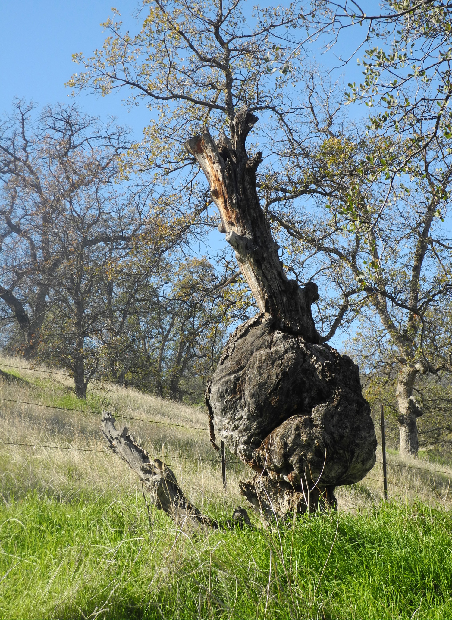
| Dead blue oak with burl | One of two flower species we saw | Carolyn, Julie and Wes make
their way through a narrow passage |
 |
 |
 |
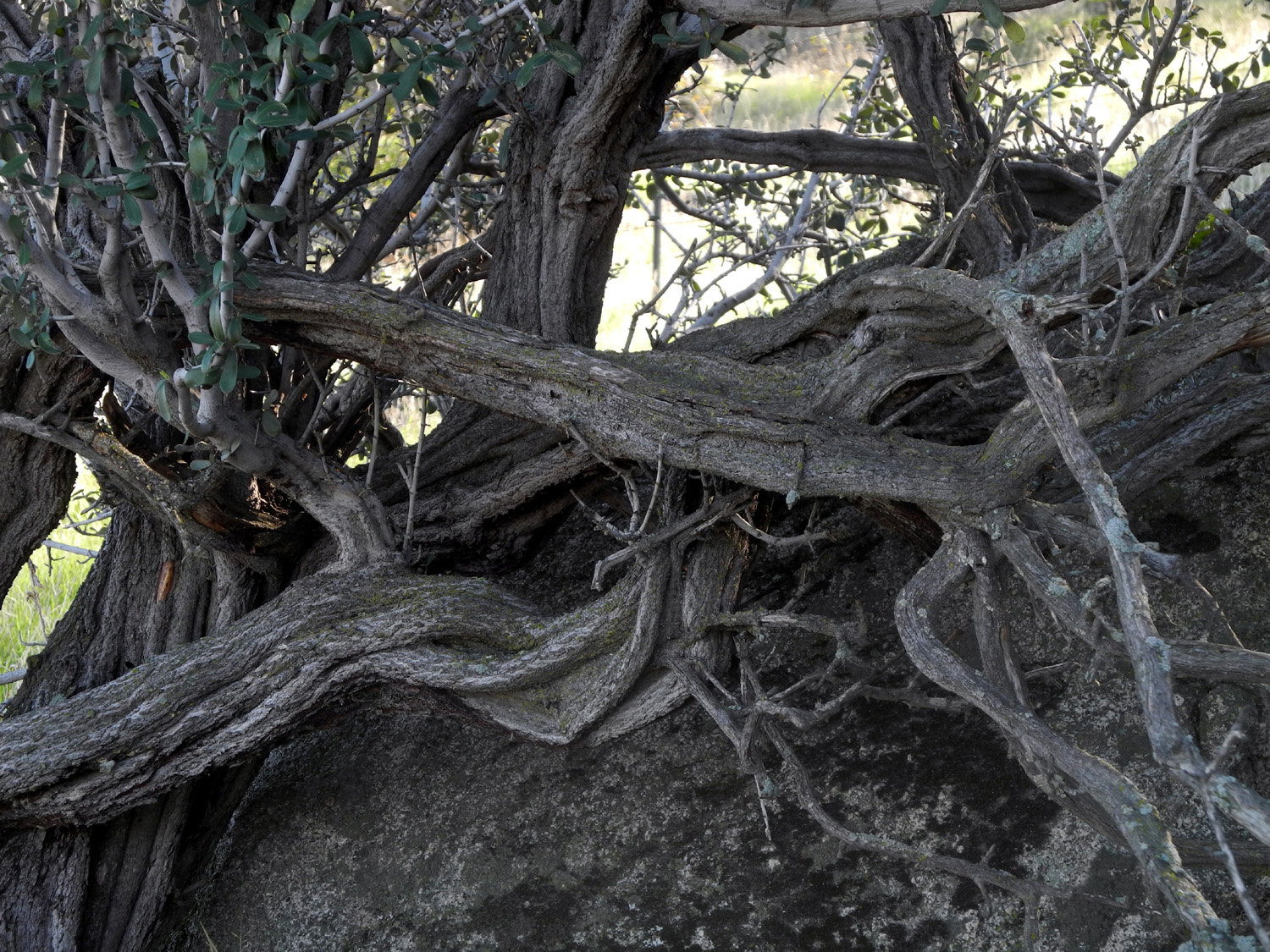
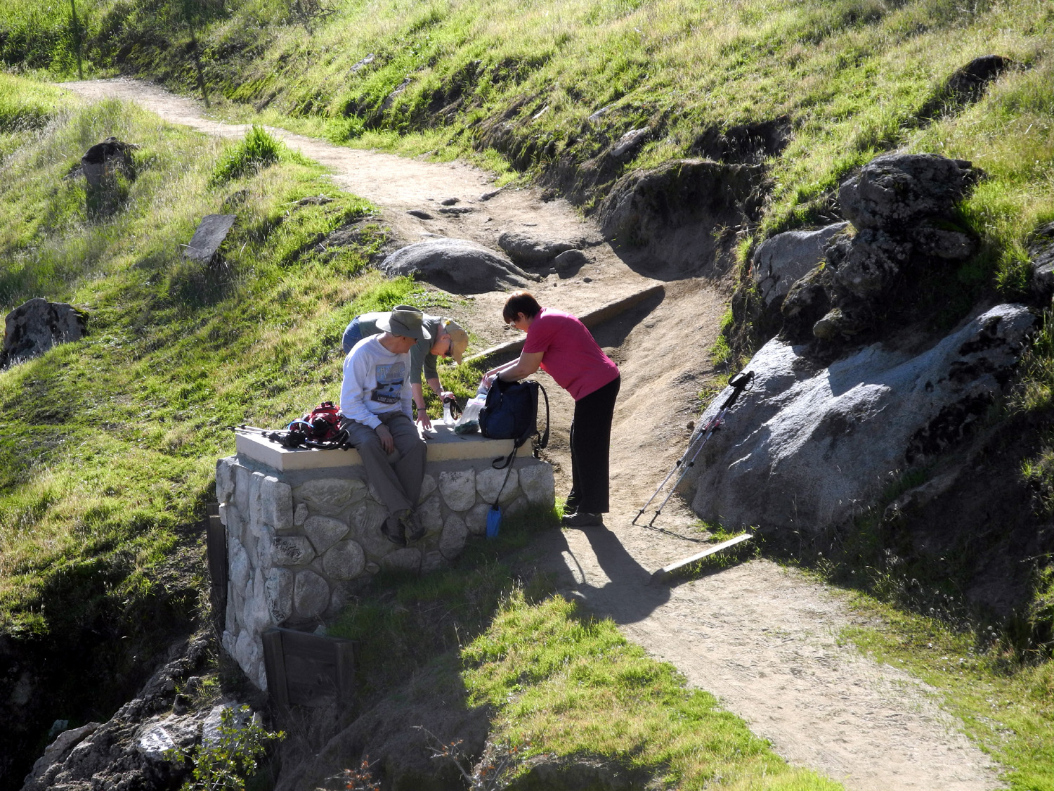
| Twisted branches of chaparral | A man-made rest stop | Boats at Winchell Cove |
 |
 |
|
|
The rocky section near Winchell Cove |
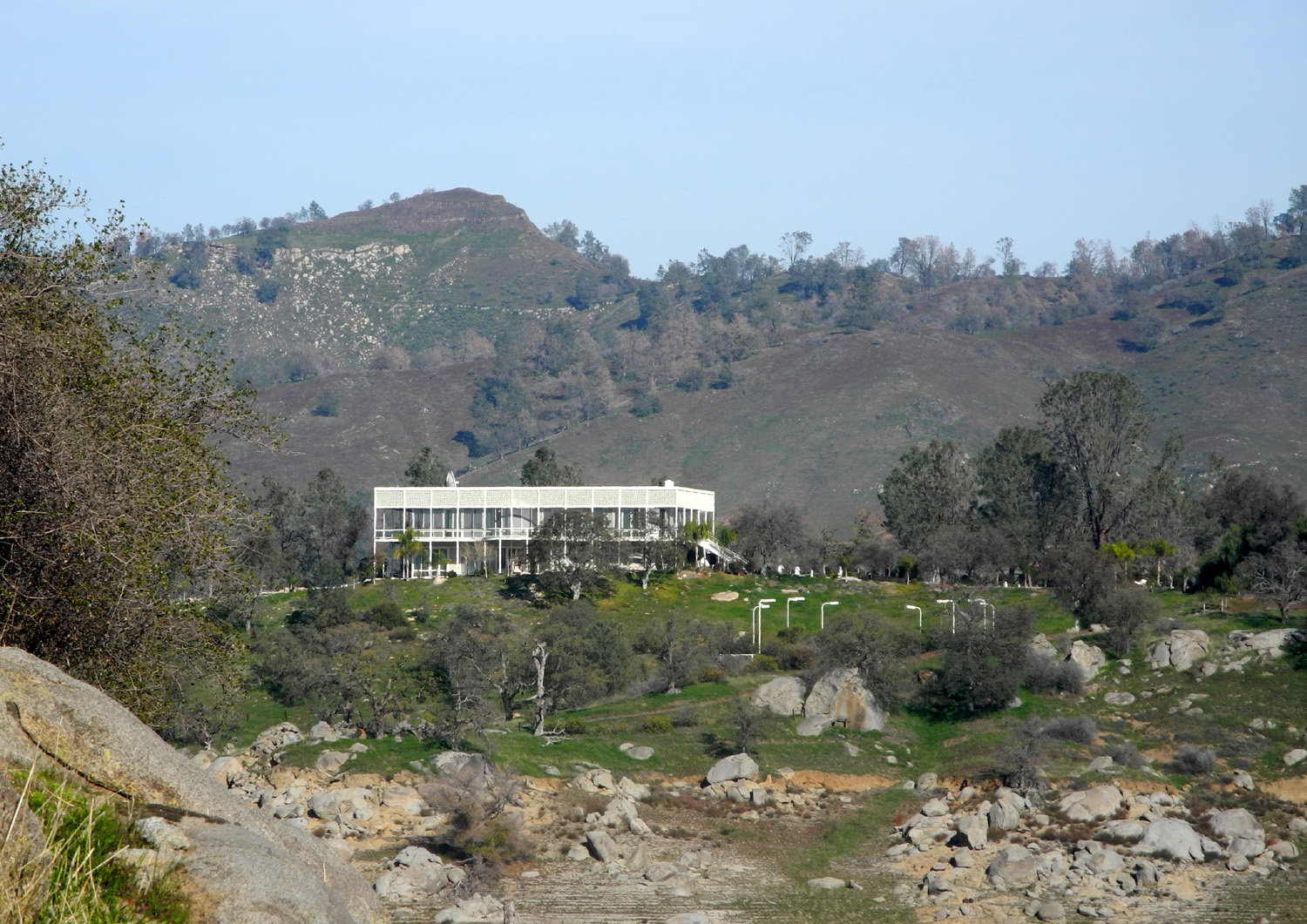
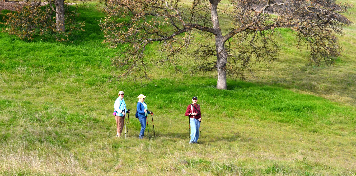
Table Mountain Rancheria Conference Center | The Ramblers, standing still |
 |
 |
 |
| Julie and Carolyn go off trail | Out on the rock | Dick takes a rest |
 |
 |
 |
| Checking out the eagle tree | Lost in the weeds? |
Hills and house
on the
eastern |
| Hensley Lake Camping & Hiking | ||
 |
 |
 |
| Along Road 33 in Madera County | Ancient cottonwoods along Road 400 | Valley Oak |
 |
 |
|
| Twisted branches | Bobcat on the prowl | Nice Kitty |
 |
 |
 |
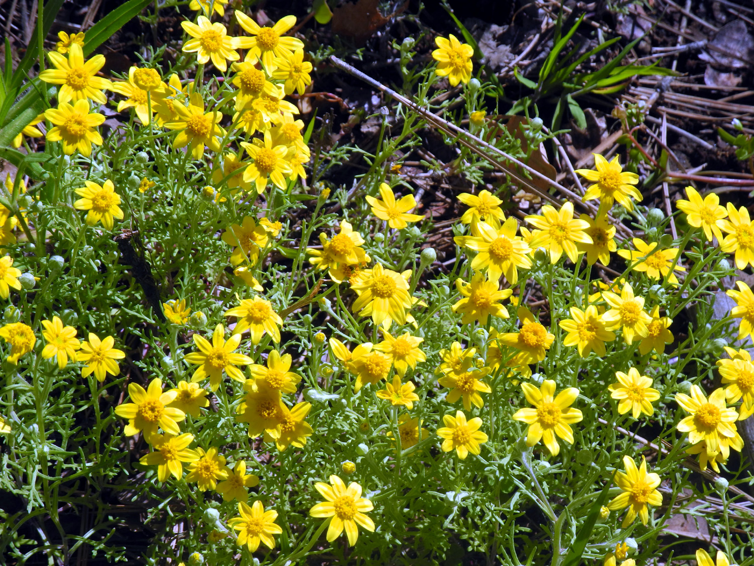
| Bobcat Rock, newly named | Hensley Lake, shrunken | Field of fiddlenecks |
 |
 |
 |
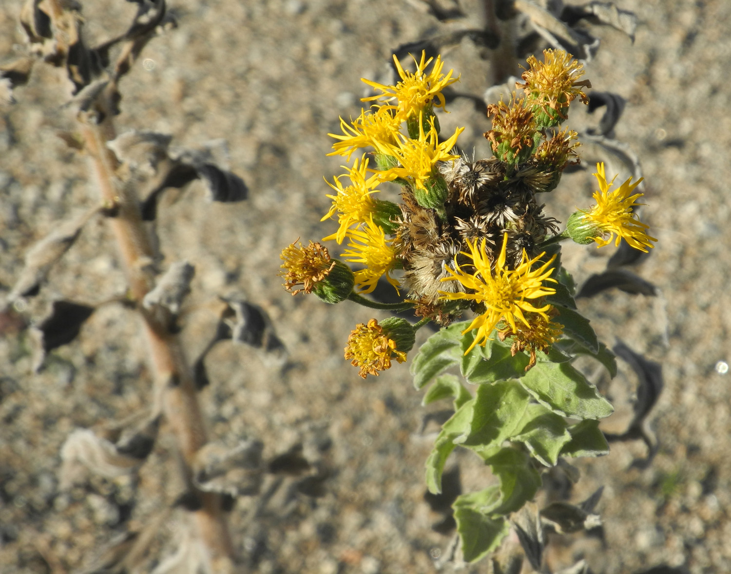
| Close-up | Fringed redmaids | Popcorn flowers |
 |
 |
 |
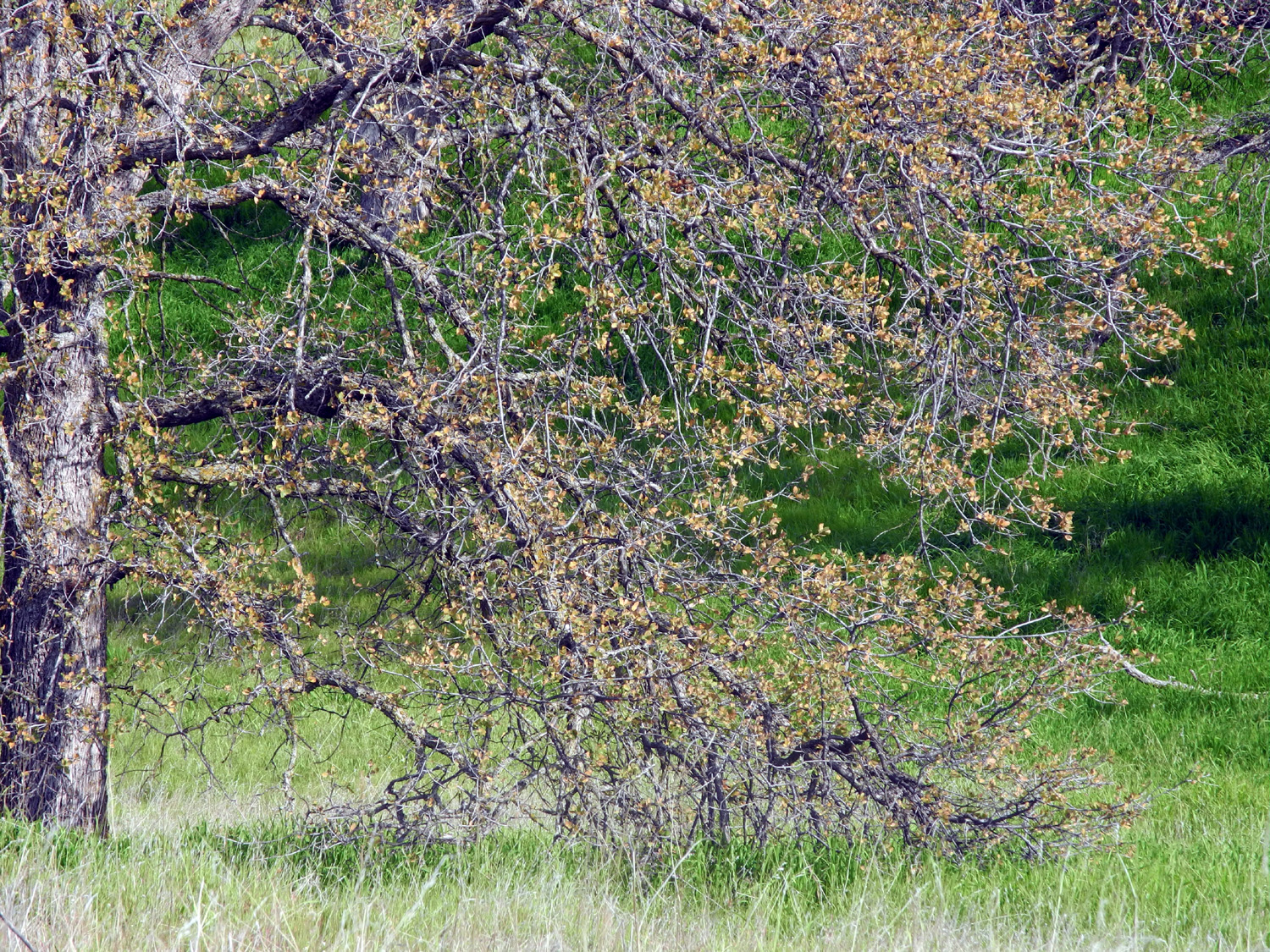
| Blue oak with last year's
leaves long after they should be gone |
Lupine | Sunrise at Hidden View |
 |
 |
 |
| Not yet on the trail, Wes is already having fun | The start of the trail | What caused this huge limb to break off? |
 |
 |
 |
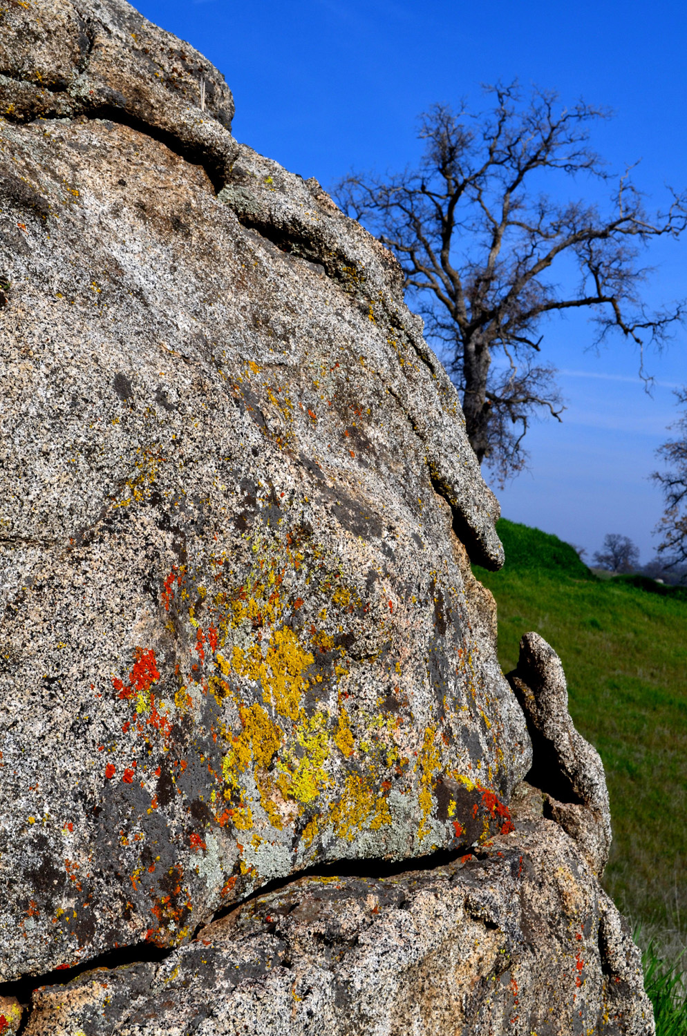
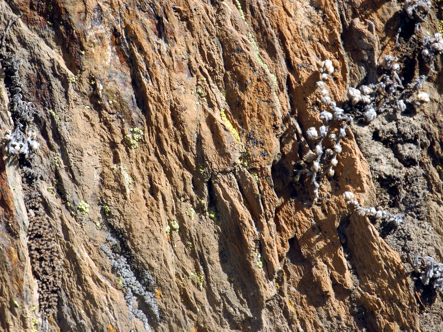
| Three Ramblers | Orange and yellow lichen
are a common sight in the foothills |
Wes plays King of the Hill, unchallenged |
 |
 |
 |
| All the Ramblers, about half way through the hike |
Benches at several
locations are a welcome sight |
Diligent hikers |
 |
 |
 |
| Big bird nest | Could this Redtail Hawk be the nest owner? | Wes in a rare moment of repose |
 |
 |
 |
| The elements are breaking this rock into small pieces |
Looking for the promised hilltop view of the mountains |
Lunch time |
 |
 |
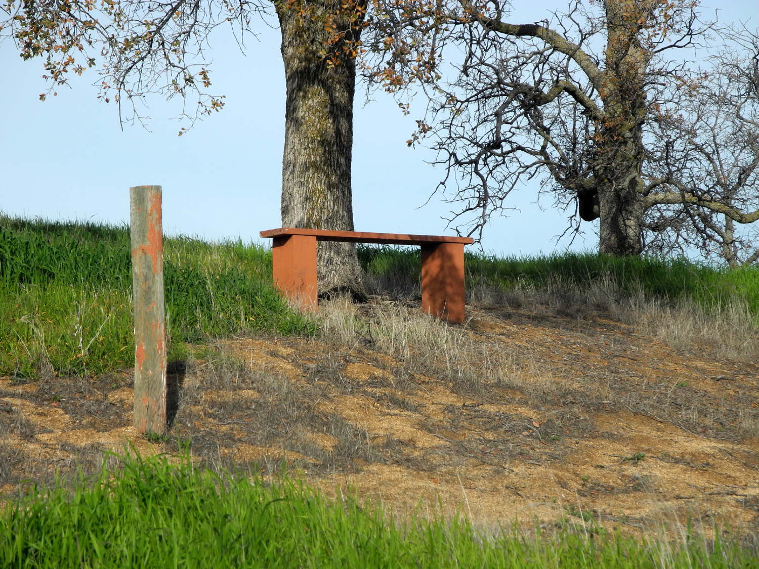 |
| Sunset, February 3, 2015 | Farmland west of the camp | This bench is on the Shaw'-Shuck Trail |
 |
 |
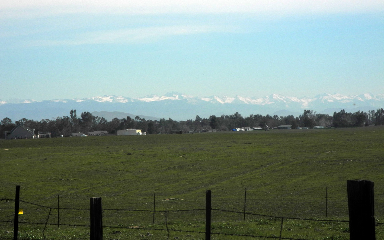 |
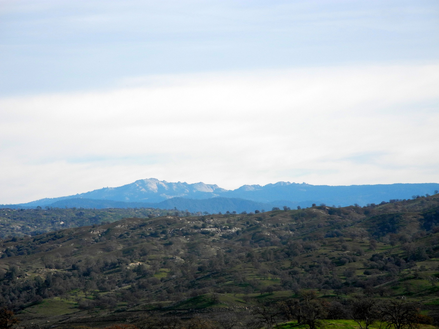
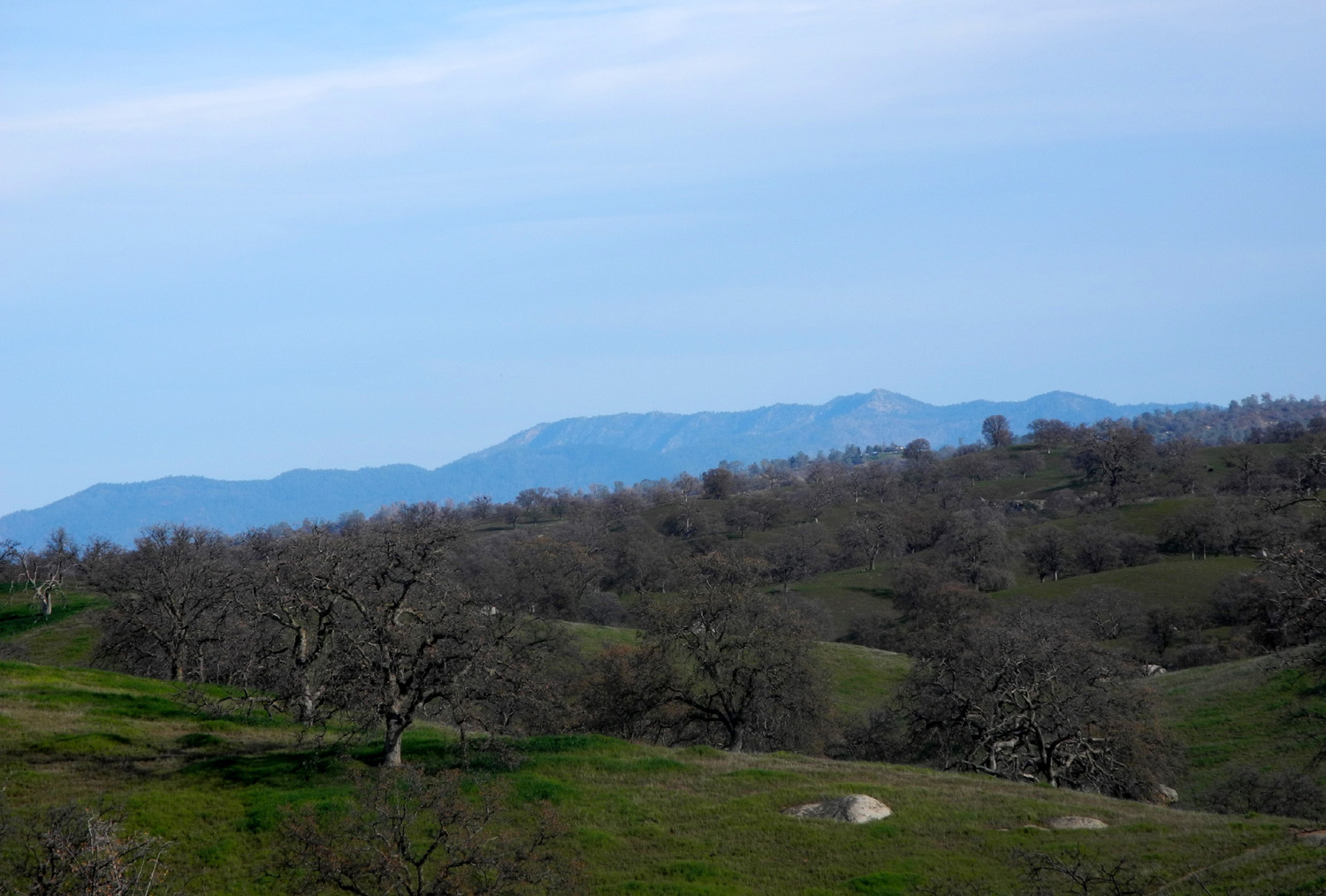
| Shuteye Peak, above the San Joaquin River | Signal Peak in Mariposa County | The Great Western Divide in Sequoia National Park |
 |
||
| On the left, mountains in the Kings River drainage; on the right the Great Western Divide above the Kaweah River | ||
| Edison Point | ||
 |
 |
 |
| The Edison Point landscaping includes harvest brodiaea, blue Dicks, and daisies | ||
 |
 |
 |
| We could look back down the trail at t his spectacular view |
Heading up from the
"bad" trail to the wide and easy one |
Finally, happy trails |
 |
|
 |
| There are views of the lake all along the trail | Looking upstream | Wes searches for the perfect photo |
 |
 |
 |
| Wes is that tiny speck to the right of the tree | It took some steep hiking
for the traditional "on the rock" photo |
Dick, Carolyn, Julie and
Wes on top of Edison Point |
 |
 |
 |
| In the middle is Bald
Mountain Summit, at 8,000 feet |
Baby blue eyes in the Sycamore Wildlife hiking area |
New leaves on the blue oak |
 |
 |
 |
| Carolyn shoots Wes | Trying to hide in the fiddlenecks | Another unsuccessful hideout |
 |
 |
 |
| Poppies by the millions painted the hillsides orange | ||
 |
||
| Looking across at Edison Point with the lake below | ||
| Hite's Cove Trail | ||
 |
 |
 |
|
Waiting
for the light to change |
Wes and Julie on the trail | A couple of determined hikers - Dick and Carolyn |
 |
 |
 |
| Dead plants have beauty too |
Indian Paintbrush |
Exposed rock at the trail side |
 |
|
 |
|
Carolyn on a typical section of the trail |
Two of the other hikers we saw | Wes in his traditional pose |
 |
 |
 |
| Dick on the trail | An example of what the trail is like | Poppies - nice but not spectacular |
 |
 |
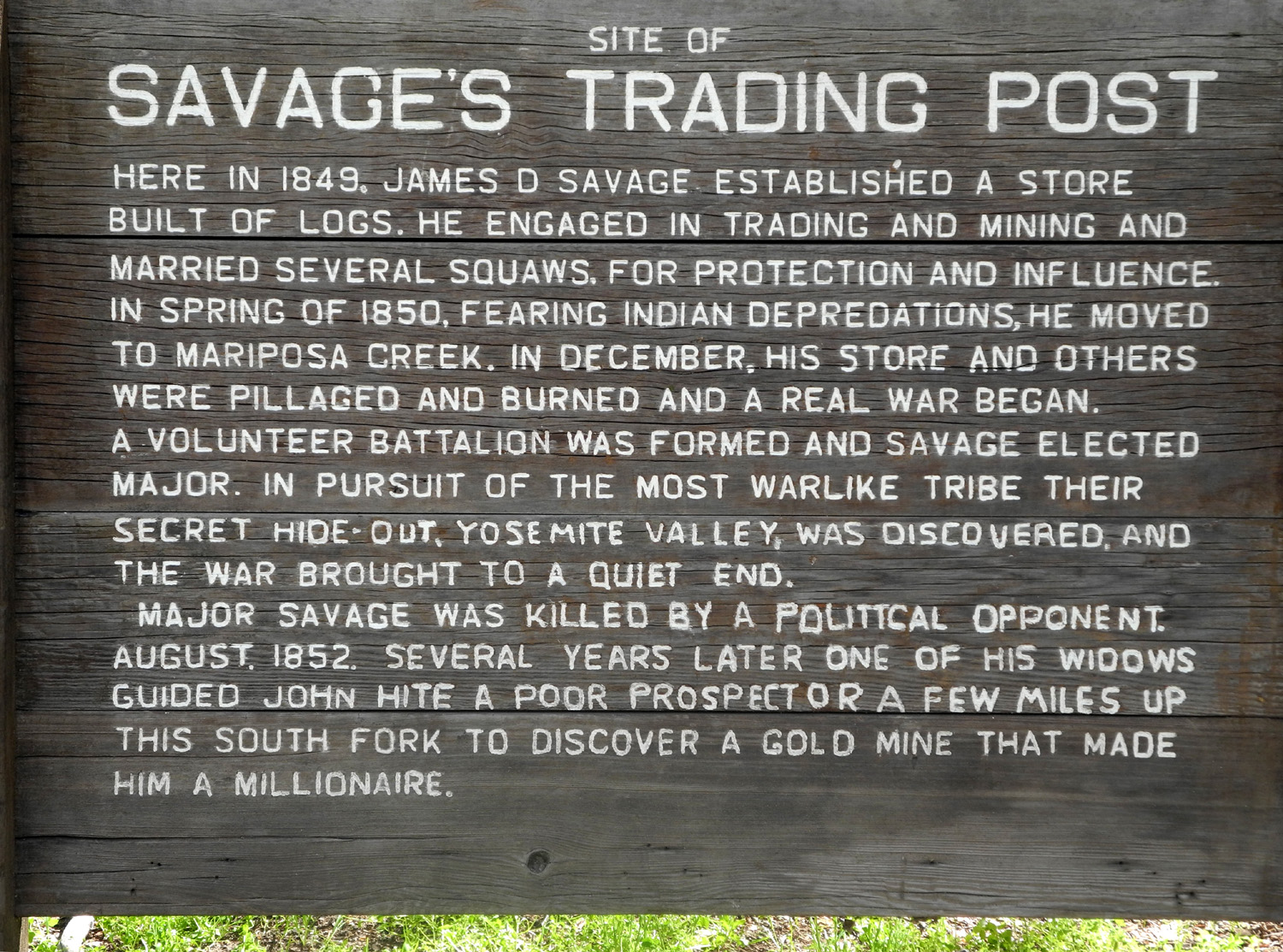 |
| Carolyn again | Bridge over the South Fork | All about James Savage |
 |
 |
 |
| Where
the South Fork joins the main Merced River |
The Ramblers and the redbud | Redbud and ponderosa pine |
 |
 |
 |
| Redbud close-up | Rock and
grass on the cliff near the eastern traffic light |
Lunch at
Castillo's, a building that used to be the post office |
 |
 |
 |
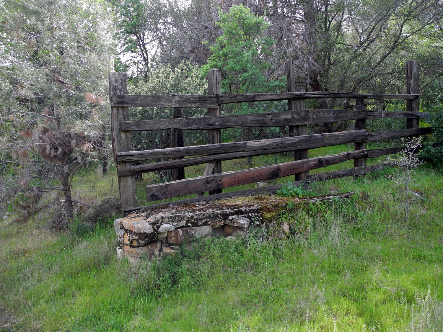
| A
mystery artifact along Old Highway - half a cattle chute? |
Looking
toward the San Joaquin Valley from Old Highway |
Spectacular lupines along Old Highway |
| San Joaquin Gorge Bridge Hike | ||
 |
 |
 |
| Bug Table | The trail, just past where it starts |
Julie, Carolyn and Dick, |
 |
 |
 |
| Carolyn and Julie | Fiddlenecks, gone to seed | Unidentified succulent |
 |
 |
 |
| Mustang clover | Common madia | Farewell to Spring |
 |
 |
 |
| Mostly Madia | A patch of mustang clover | Bridge from the southeast corner |
 |
 |
|
|
The San Joaquin River, |
Wes's "artsy" shot of the bridge | The Ramblers on the bridge over the San Joaquin River |
 |
 |
 |
| Wes on the rock - an "artsy" shot | And a more traditional view | Dick in his rockin' Grizzly
shirt, designed by daughter Jennifer |
 |
 |
 |
| A few flowers hiding in the grass | Guide includes herbs,
flowers, trees, and animals large and small |
A valuable visual chart
helps identify a number of flowers |
| Lewis Creek Trail | ||
 |
 |
 |
| Rock artifact near trailhead | Lewis Creek | Crossing the creek |
 |
 |
 |
| The second crossing was easier | The plant is thick in the creek | |
 |
 |
|
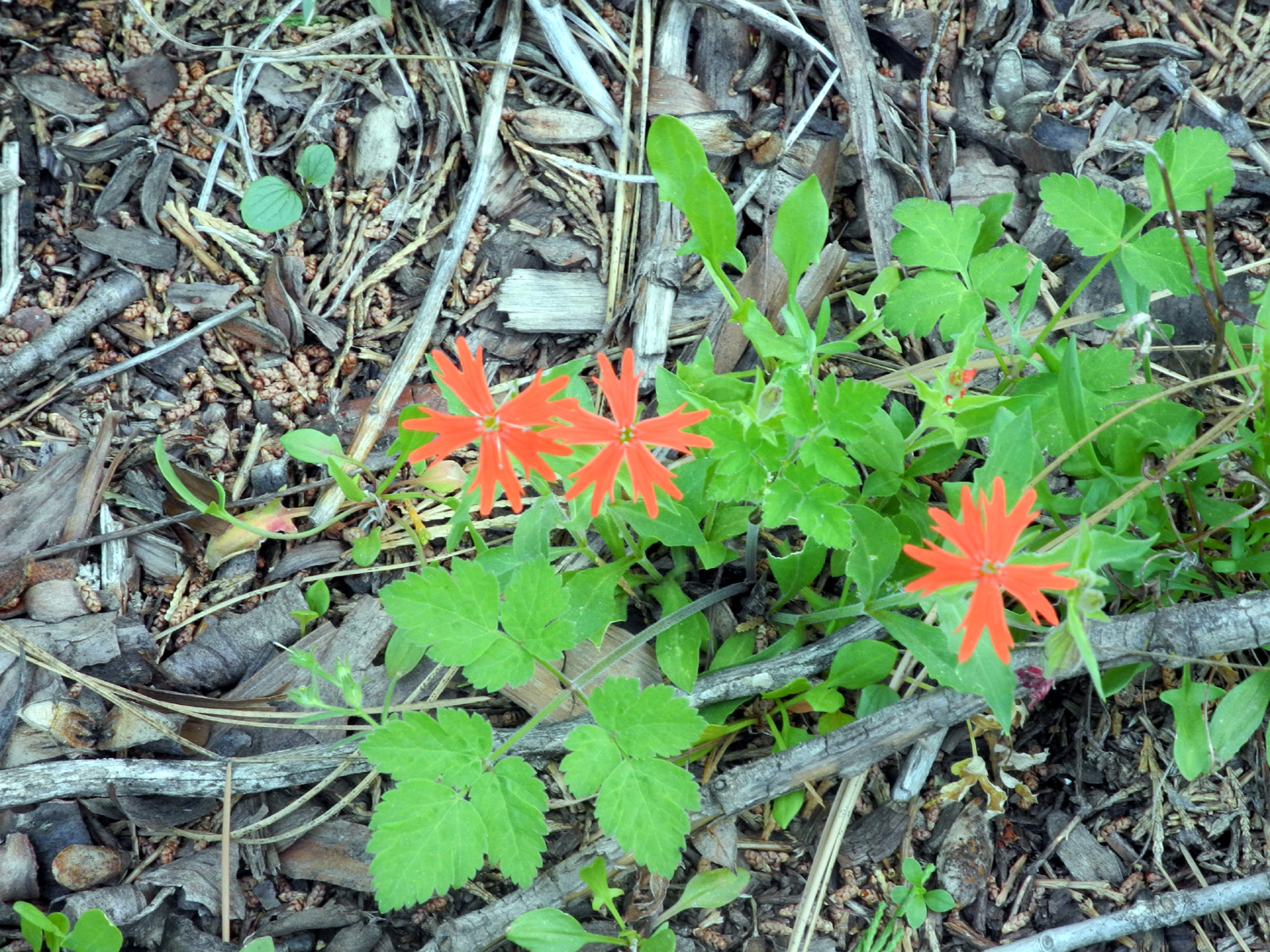
| New leaves on black oak | Western wall flower | Indian pinks |
 |
 |
 |
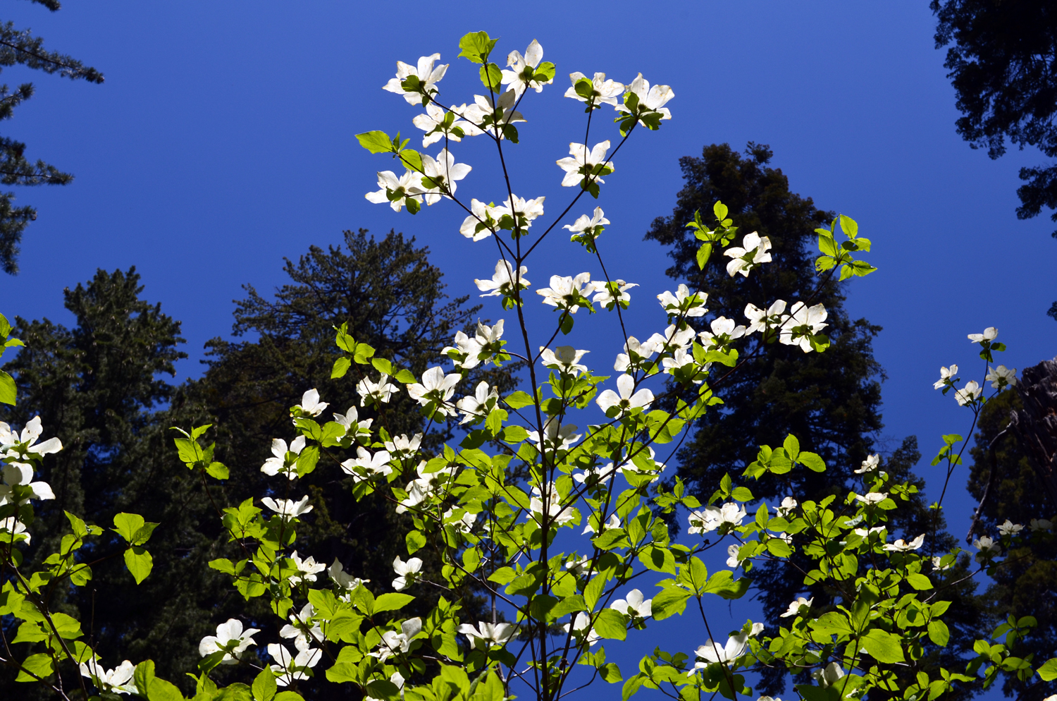
| Wild iris | Bear clover | Dogwood |
|
 |
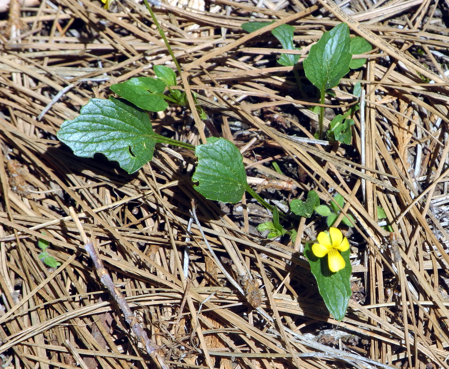 |
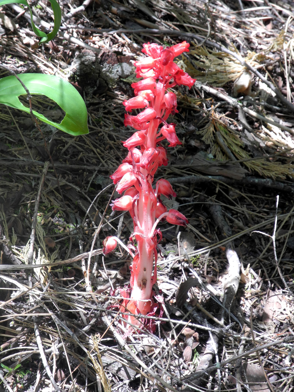
| Single dogwood blossom | Snow plant | Wild violet |
 |
 |
 |
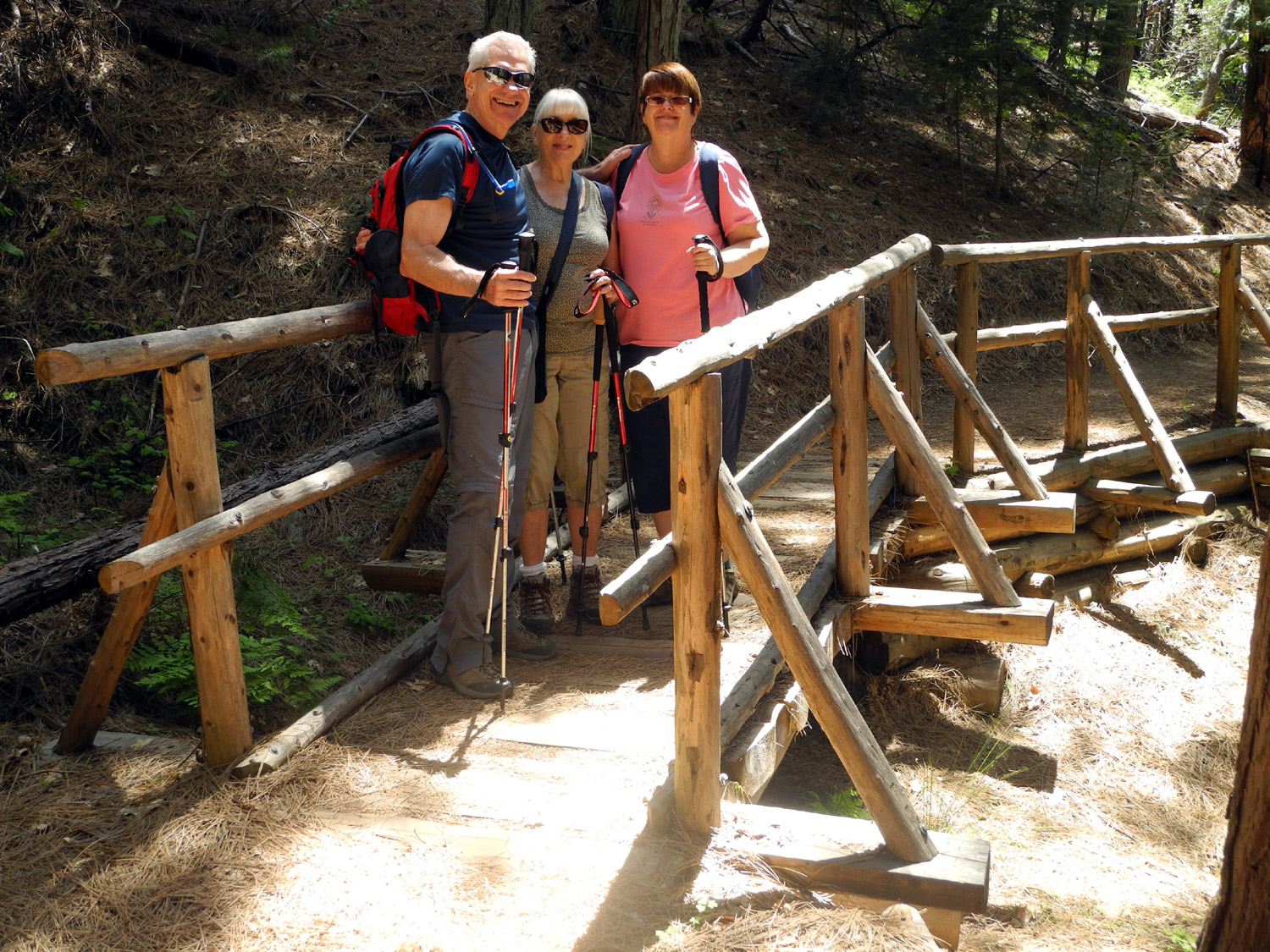
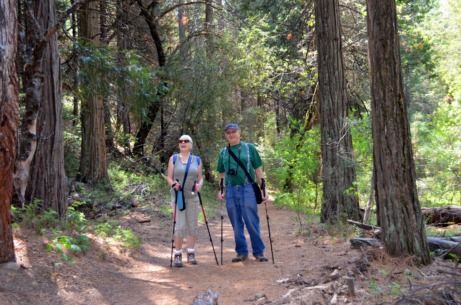
| Wes, Carolyn and Julie | Carolyn and Dick |
The Ramblers with
dogwood |
| Crescent Meadow | ||
 |
 |
 |
|
The Great Western Divide
from |
Dick and Carolyn rest after |
Wes on the rock just off the Moro Rock Trail |
 |
 |
 |
| The starting point of our hike | Green and definitely gem-like |
Giant sequoias stand |
 |
 |
 |
| Bears have clawed this dead tree looking for insects |
Approaching a big tree by the trail | Elephant feet |
 |
 |
 |
| The Ramblers and the redwood | Burn scar above the trail | This time it's Wes on the log |
 |
|
 |
|
Log Meadow actually has |
It's always lunch time for bears |
Two of the three or maybe |
 |
 |
 |
| No caption needed |
Rustic but at least it
kept |
Crescent Meadow from the east side |
 |
 |
 |
| Decaying log in the meadow | Fern posing in a patch of sunlight | Lunch at the Wuksachi Lodge |
 |
 |
 |
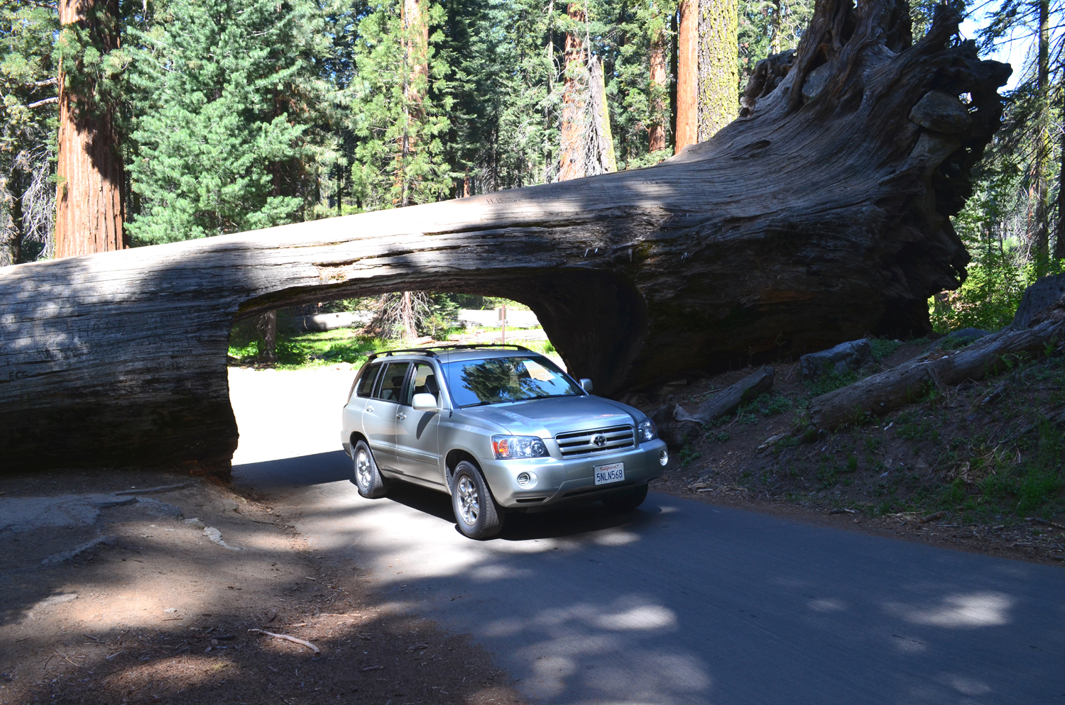
|
Wes's Highlander at the Tunnel Log |
Clouds above Wuksachi Lodge | Dogwood showing off |
| Related Links | ||
| April 2014 Millerton Hike | Pizza Factory | January 2014 Millerton Hike |
| Yosemite Area Wildflowers | Blue Oak Trail Info | Bobcats |
| Millerton State Recreation Area | Winchell Cove Marina | Fresno River |
| More about bobcats | Hensley Lake | Bush Lupines |
| Edison Point Trail | Red Caboose Cafe | Rock Slide Video |
| Highway 140 | Ferguson Rock Slide Status (2019) | The Story of John Hite |
| Merced River | Ferguson Rock Shed Artist Concept | Hite's Cove Trail |
| Castillo's Restaurant | Hite's Cove Mine | San Joaquin Gorge Slide Show |
| Velasco's Restaurant | South Fork | San Joaquin Gorge Photo Album |
| Four SJ Gorge Hikes in 2012 | Background
& History of San Joaquin Gorge Area |
San
Joaquin River Gorge Special Recreation Management Area |
| Lewis Creek Trail Map | SJ Gorge Hike in April 2014 | El Cid Restaurant |
| Crescent Meadow Photos | Lewis Creek Trail | Crescent Meadow |
| Bears | John Muir | Tharp's Cabin Photo |
| Pohonichi Trail | Tharp's Cabin | Great Western Divide |
| San Joaquin River Parkway - Trails, Parks etc. | Giant Forest | Moro Rock |