
|
Dick's Adventures of 2024 - Part 2 |
|
| Photos Related Links More Travel Reports | |
| Adventures
of 2016 Adventures
of 2017 Adventures
of 2018 Adventures
of 2019 Adventures
of 2020
Adventures of 2021 Adventures of 2022 Adventures of 2023 2024 Part 1 |
|
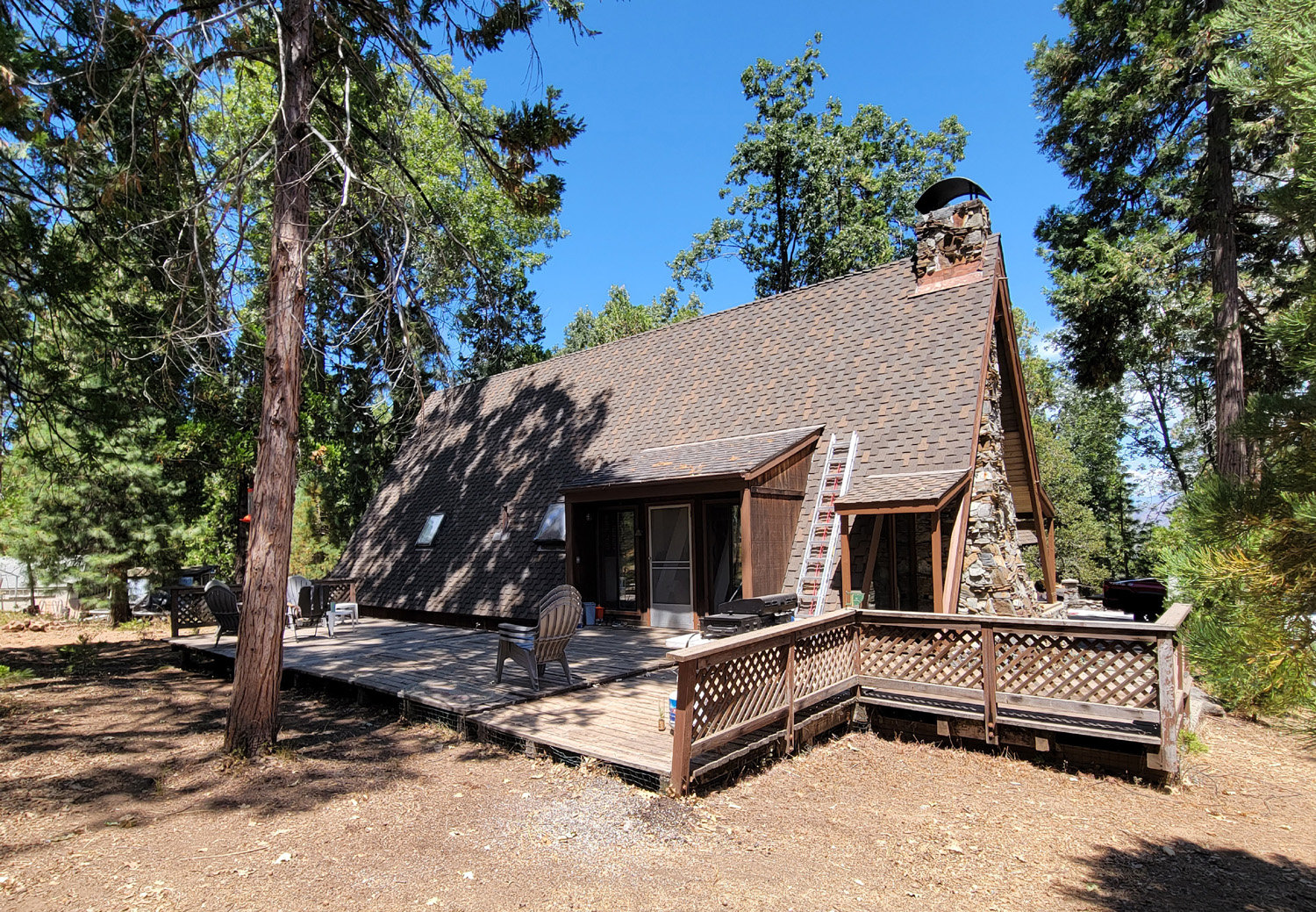
| Mile
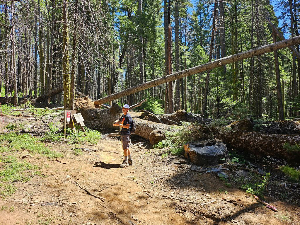
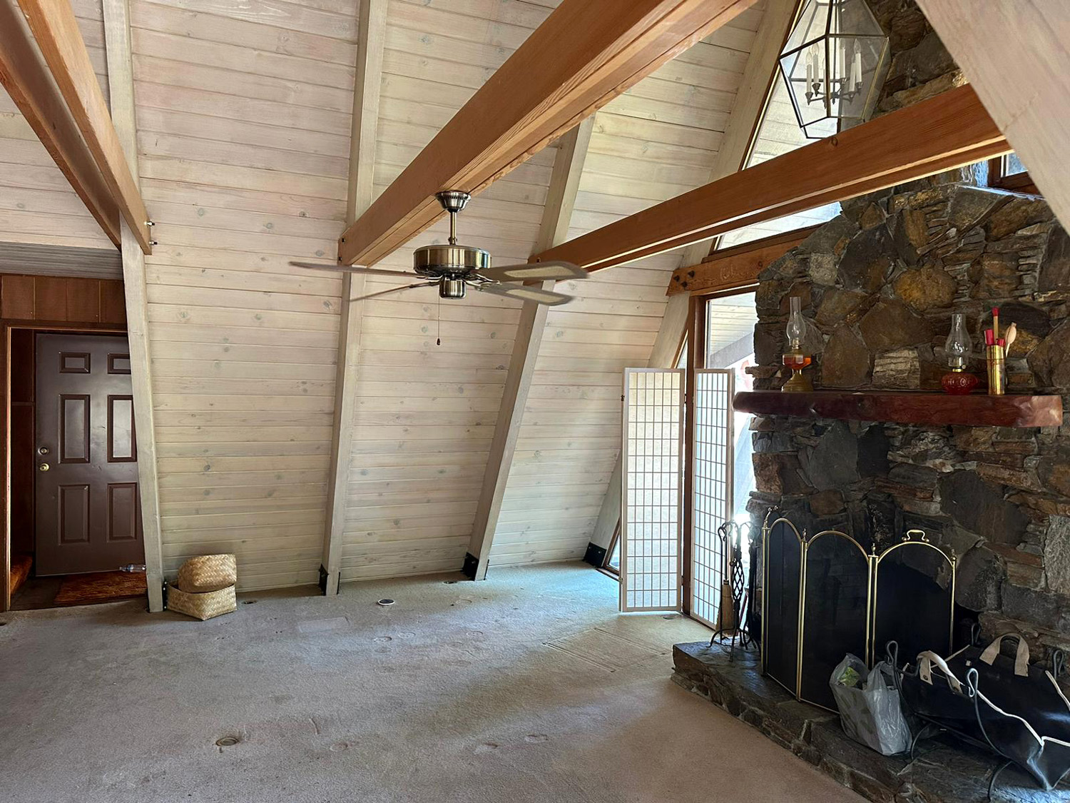
High A-Frame For a number of years the Upshaw's - my older grandson Johnny, wife Brittany, and sons Colton and Jack, enjoyed many visits to a doublewide mobile home in Greeley Hill in Mariposa County. The winter storms of recent years brought a tree down on its roof, allowing a ton or two of snow to enter, effectively rendering it a complete loss. This motivated them to buy a cabin near Shaver Lake, a much shorter drive from their home in Clovis, and convenient to the winter snowboarding they enjoy. It's also available as an Airbnb rental, so I arranged to spend three days and two nights there at the end of May. Being retired, I have a seven-day weekend every week, and did not think about the days I requested being the last two days of Memorial Day weekend. Although this probably meant a bit more traffic on the main roads, it did not cause any real problems for me. |
|
 |
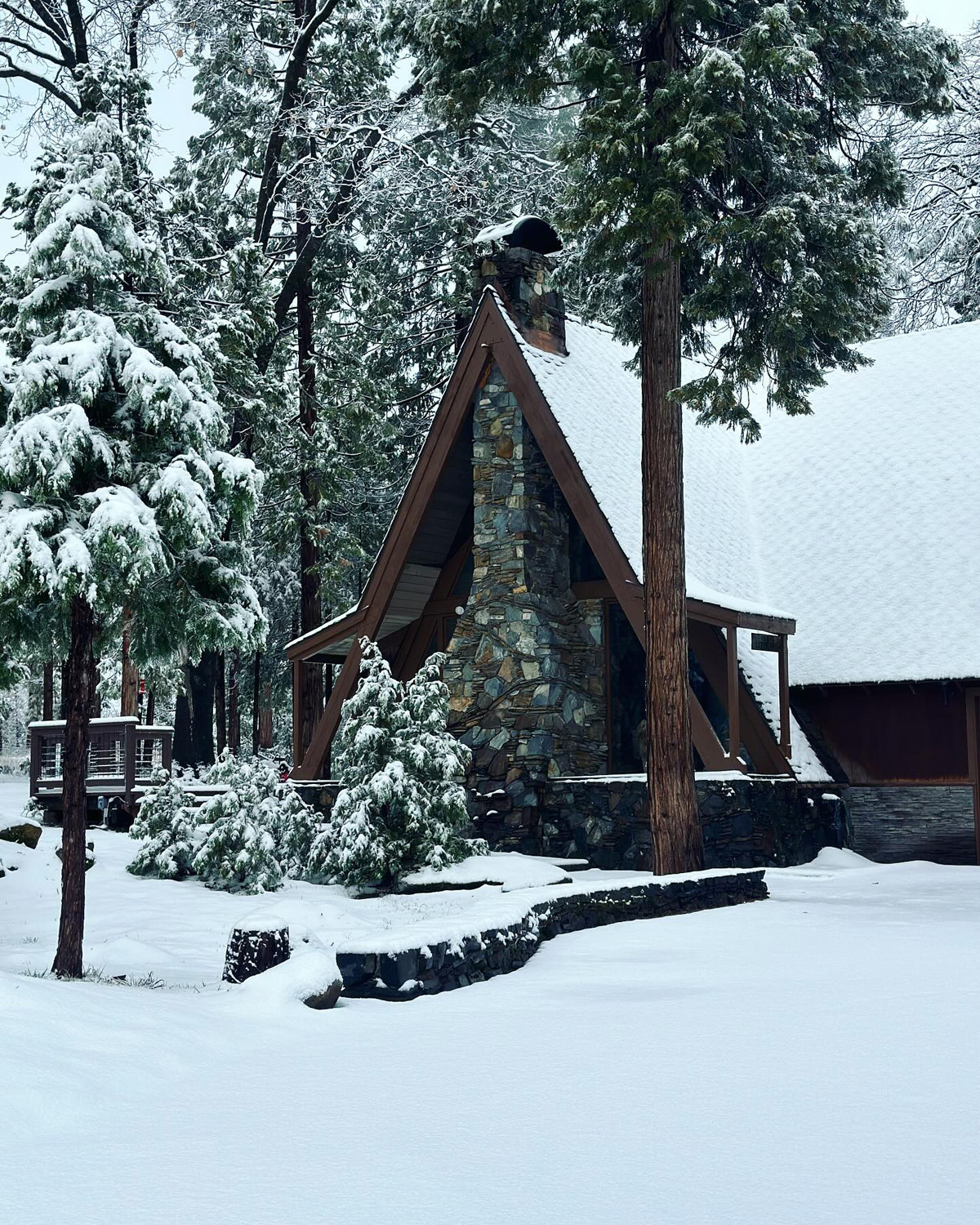 |
| Early days, before repair and remodel | Snow in January 2024 |
| All cabin photos by Johnny and Brittany | |
|
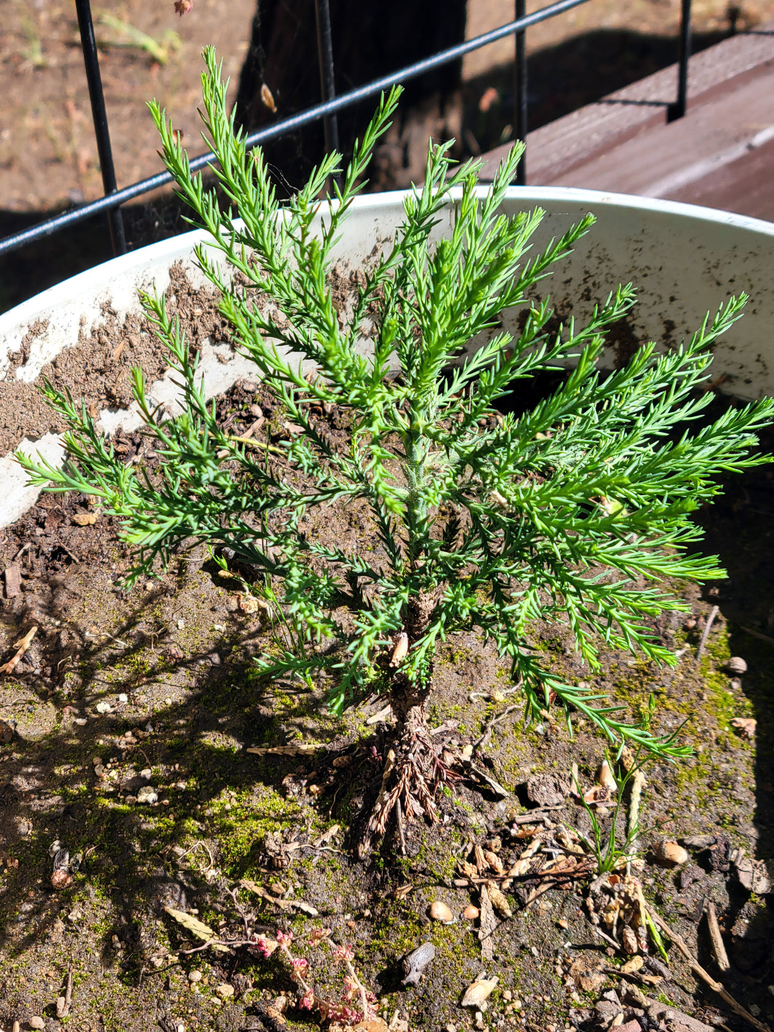
The cabin is actually about ten miles from Shaver Lake, which is a small mountain town catering to tourists on Highway 168. The lake of the same name, formed in 1927 by the damming of Stevenson Creek, has a capacity of 130,000 acre feet and is part of the Southern California Edison Company's (SCE) Big Creek hydroelectric project. At the 5,500 foot elevation, it draws boaters, swimmers, and fishermen most of the year. Located on the route to the China Peak Ski Resort, it also does a good business in winter serving skiers, snowboarders and snow play enthusiasts. The cabin is located on Bald Mountain Road off Auberry Road, about three miles from where it connects with Highway 168 near the famous Cressman's General Store. The elevation is 4,300 feet, so it's surrounded by black oaks, pines, and cedars. Lots of cedars. Cedars ranging from a height of two inches to around 80 feet. Oh yes - also sequoia trees. These were planted and there are about a half dozen, the tallest of which is about 15 feet. The smallest is a thriving specimen that Jack was given when he joined a Ramblers hike last year. |
|
 |
 |
| Jack's sequoia | One of about five nice size sequoias on the property |
|
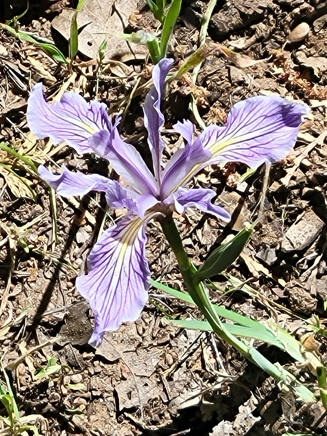
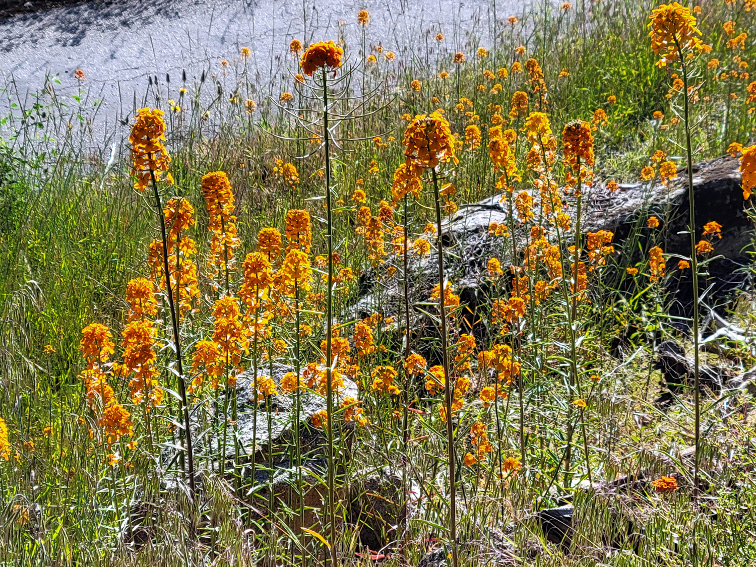
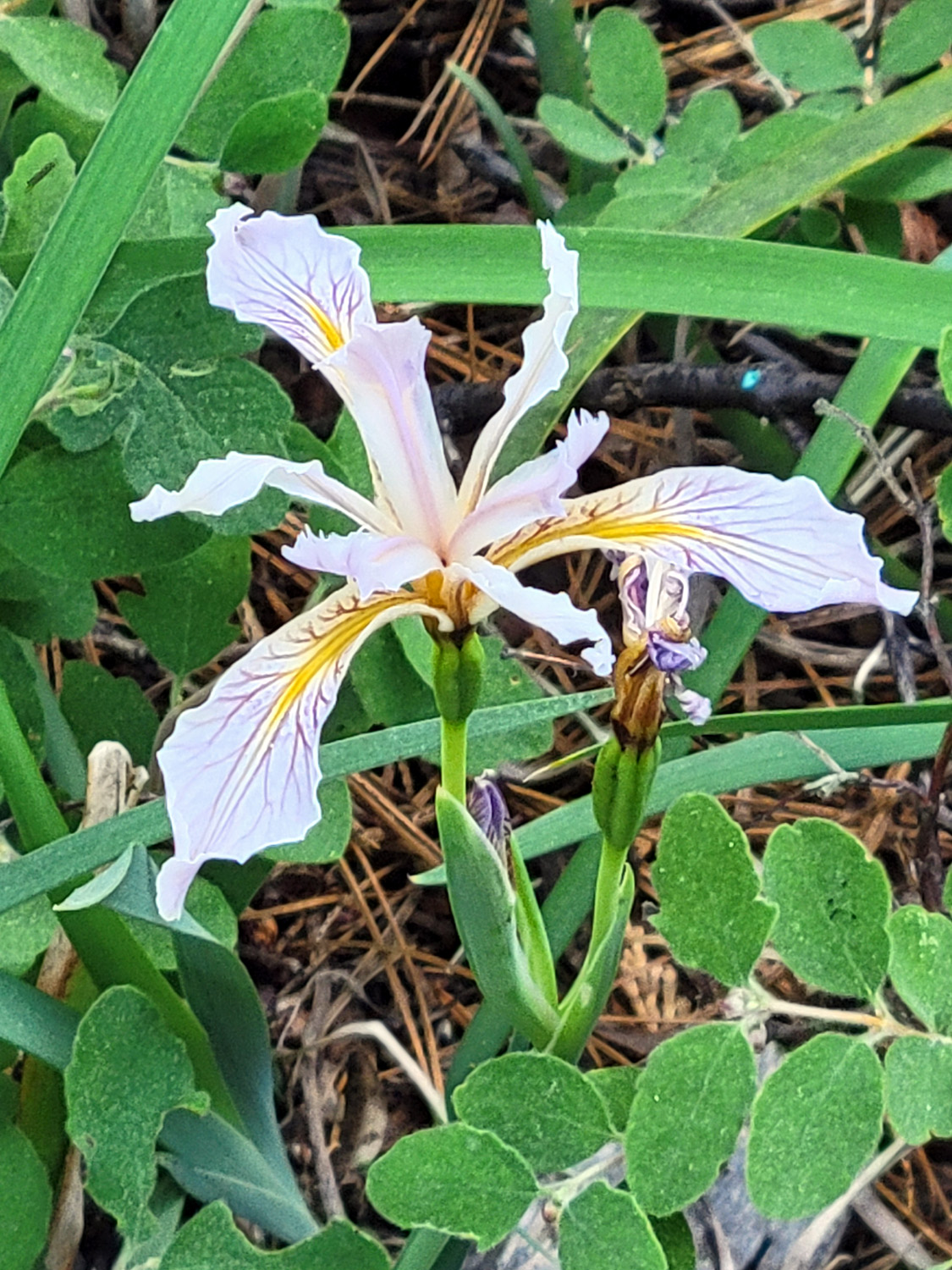
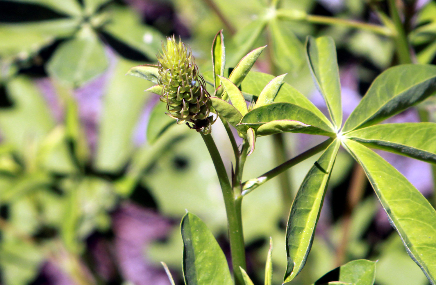
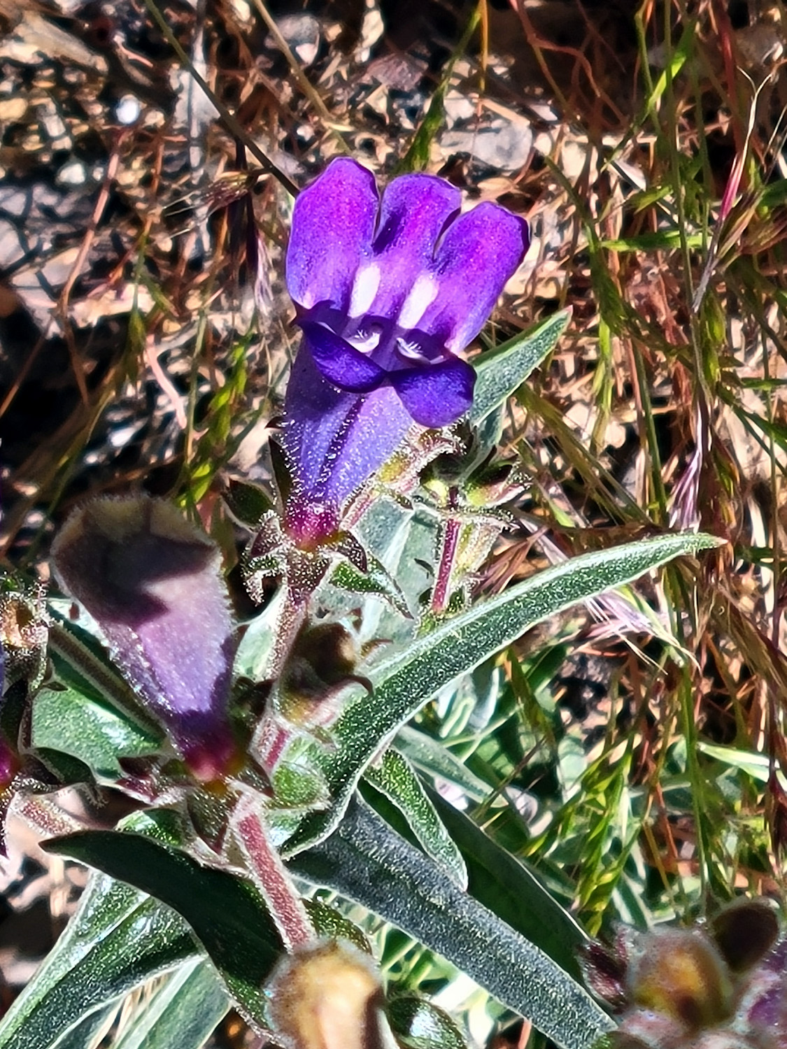
I arrived at the cabin in the mid-morning of May 26 and got my stuff carried in. I was delighted to see that there are many wild iris in bloom around the cabin and all over the neighborhood. There was also a daisy-like flower with a dark center that grew in profusion in many places. These blossoms would close up or otherwise disappear when the sun got hot, then reappear in the early evening. I also saw a lot of western wall flowers, some lupines, and limited numbers of other flowers, some appearing quite a bit later than they do at lower elevations. |
|
 |
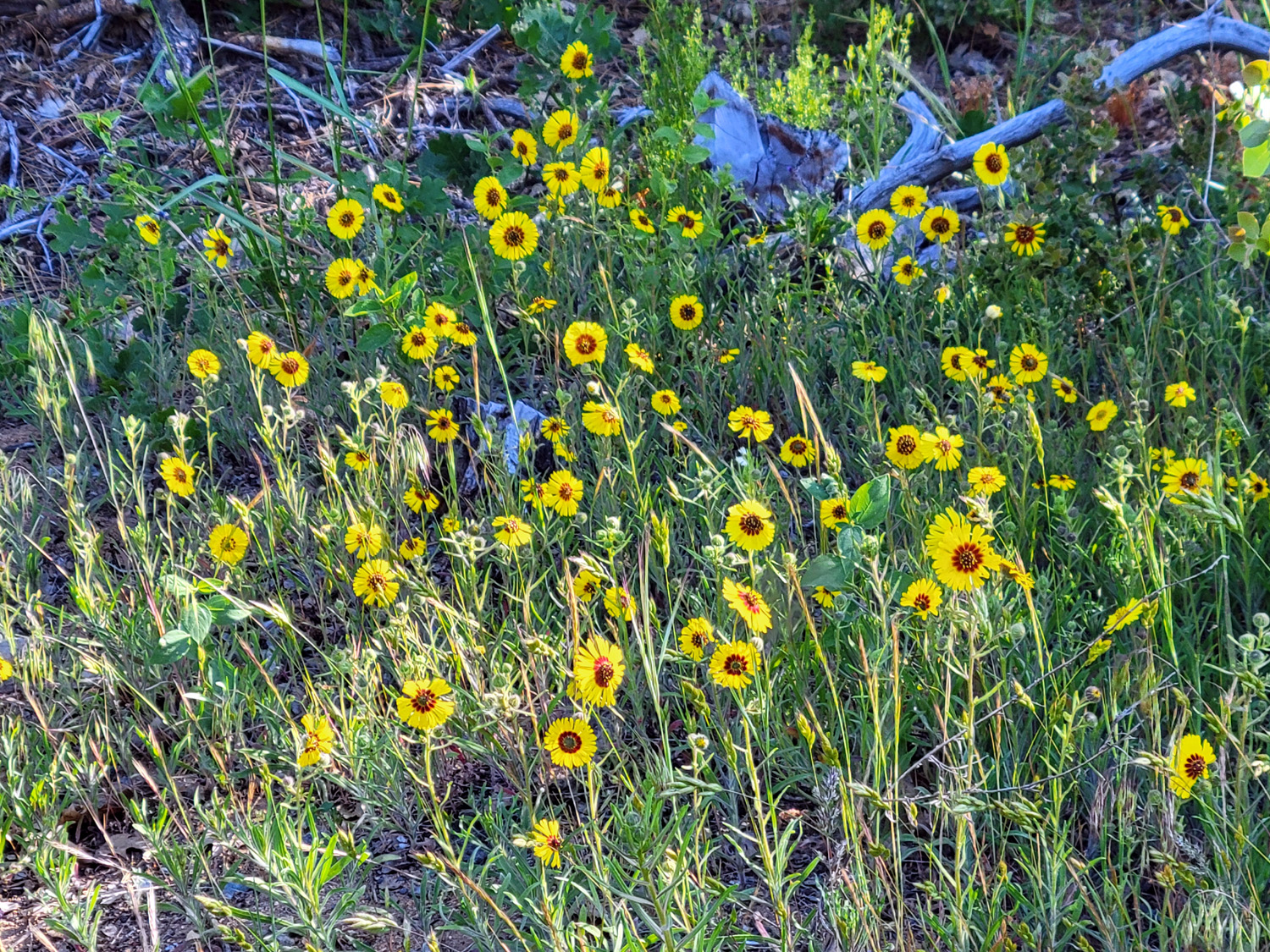 |
| Wild iris | Some kind of daisy |
 |
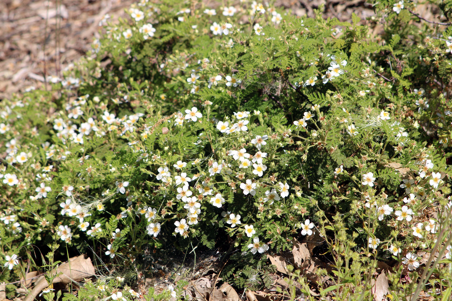 |
| A nice stand of western wall flowers | Bear clover in bloom |
|
On the opposite side of Bald Mountain Road from the cabin, a loop goes east about 300 yards, then curves around and back out to the main road. Although it's a paved road, this is a great place to do a short hike. Upshaw's call it "The Horseshoe." This is where I saw most of the different wildflowers that enhanced my stay, but more importantly, it offers a view of the Ritter Range - Mt. Ritter at 13,000 feet, Banner peek, just 200 feet lower, and the Minarets. Although part of the range, the latter are not visible from this location. To make up for this, you can see Fuller Buttes, two classic domes topping out at just above 6,000, a mile lower than the range. |
|
 |
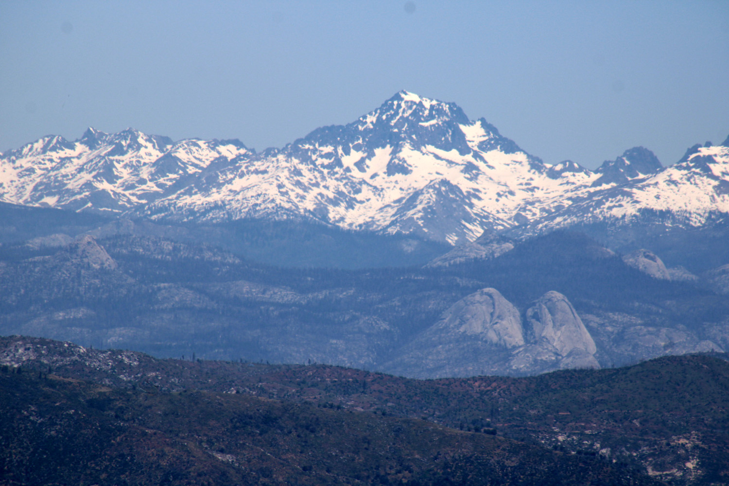 |
| The Ritter Range | Banner Peak, with Fuller Buttes in middle foreground |
|
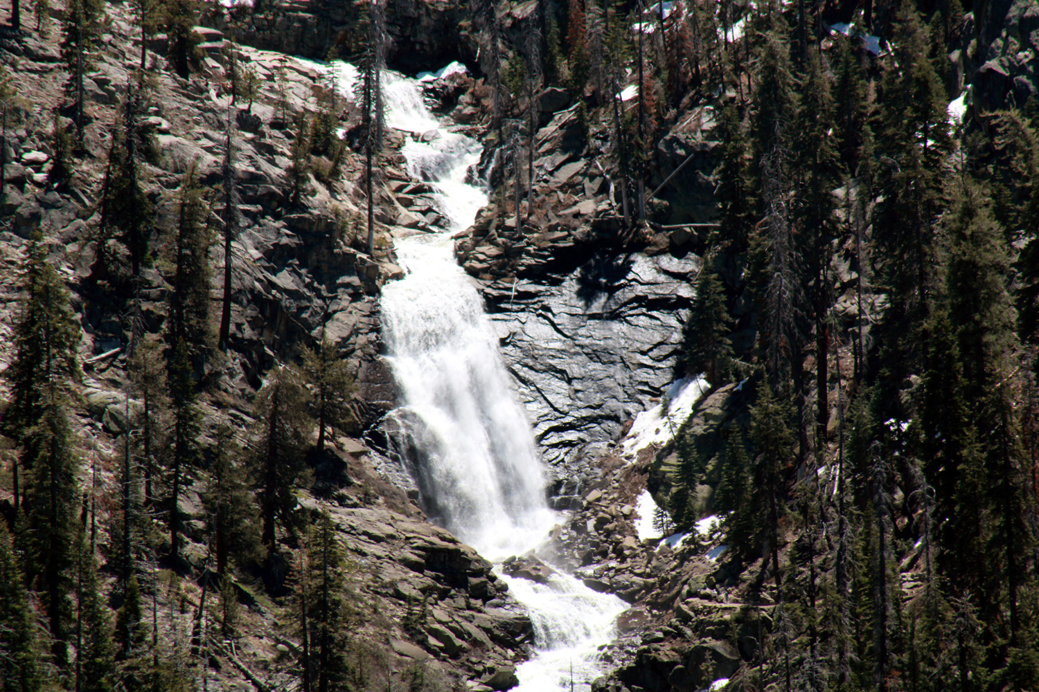
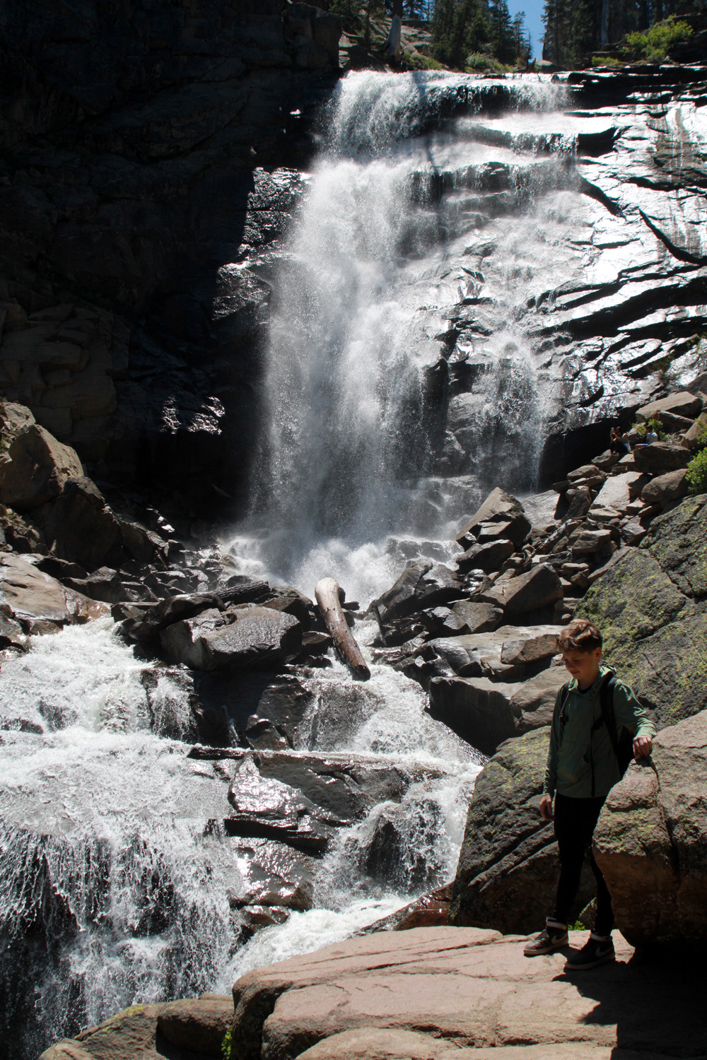
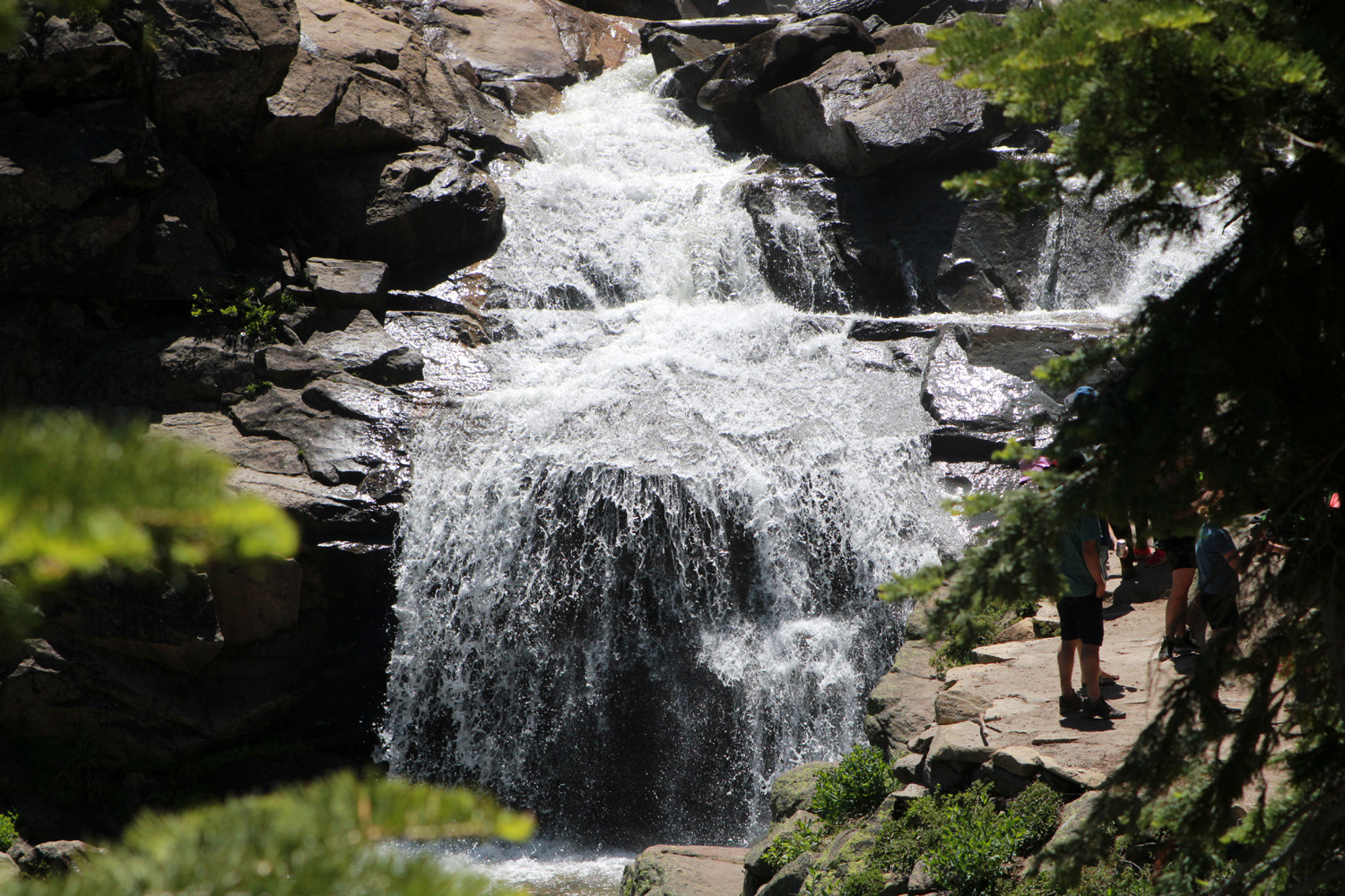
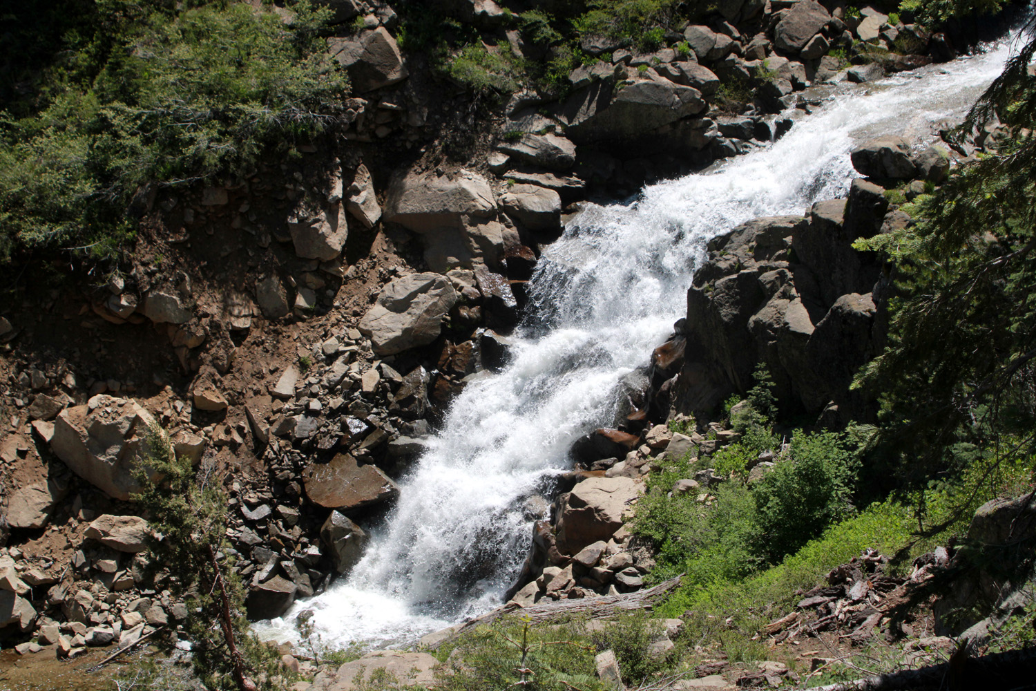
Another great feature of the place is the wood deck, about 15 by 30 feet, with comfortable chairs. You can sit out in the morning or evening (or any time you want) enjoying the oaks and evergreens, and in my case, sipping a Bloody Mary. I spent quite a bit of time out there, reading and resting. I went out during the night to look at the stars, and at 4 a.m., the moon. There are other houses all around, but they are well spaced and mostly without the ultra bright lights that so many people put up to eliminate the stars. The next day was Monday, Memorial Day, the only full day of my stay. After a relaxing morning and breakfast, I set out for Huntington Lake, another SCE facility 20 miles and 2,000 feet in elevation above Shaver. This area does not have the tourist development of Shaver, but it is the site of China Peak, a major ski resort. The proximity of this snow play area has been one of the Upshaw's favorite things about their new vacation location, and Colton especially went snowboarding many times during our recent extra-snowy winter. State Highway 168 ends at this point, but a paved road goes up and over 9,000 foot Kaiser Pass and into several other popular recreation spots, including Edison and Florence Lakes, as well as Mono Hot Springs. I did not intend to go even as far as the pass, my destination being a vista point just a few miles up the road where there is an excellent view of Rancheria Falls, where I have hiked a number of times with family and with the Ramblers. It's probably a good mile across the canyon from the road to the falls, but I had brought my tripod and a telephoto lens, and was able to get some good still photos and videos. The location also provided a good view of Huntington Lake. The elevation here was 7,900 the highest point I reached on this adventure. From the vista point I drove back down to the lake and walked in on the trail that starts at the ski lodge and goes up Big Creek to Indian Pools. It was already time for me to be sitting on the deck, so I kept this hike very short, just going far enough to get a good look at the creek. |
|
 |
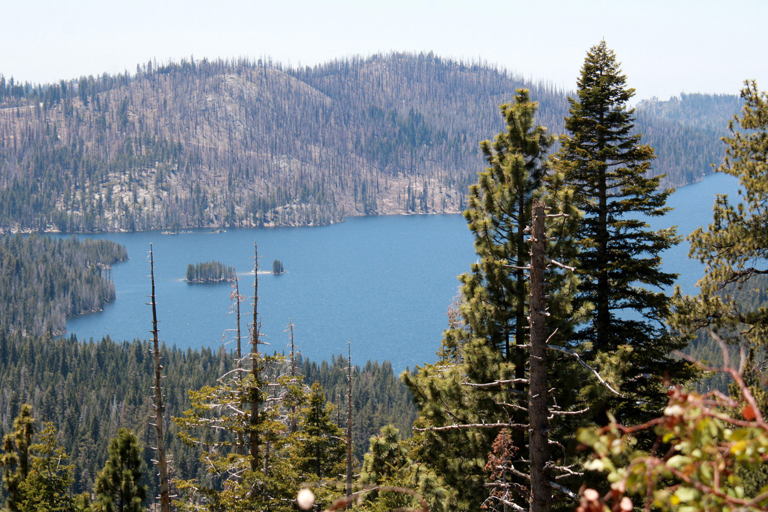 |
| The dramatic beauty of Rancheria Falls | Huntington Lake |
|
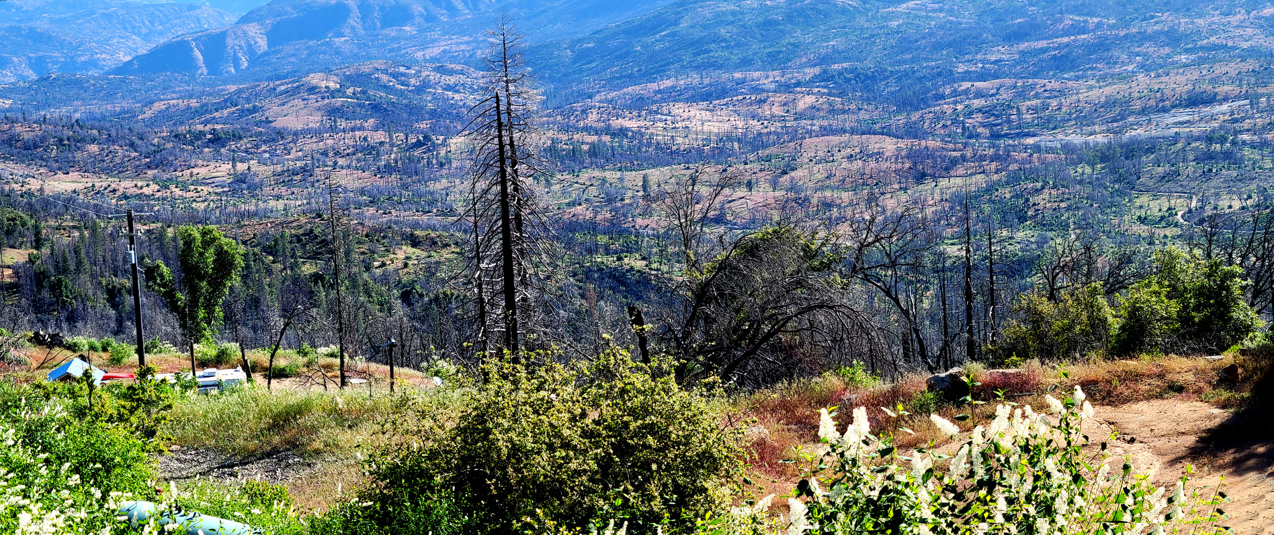
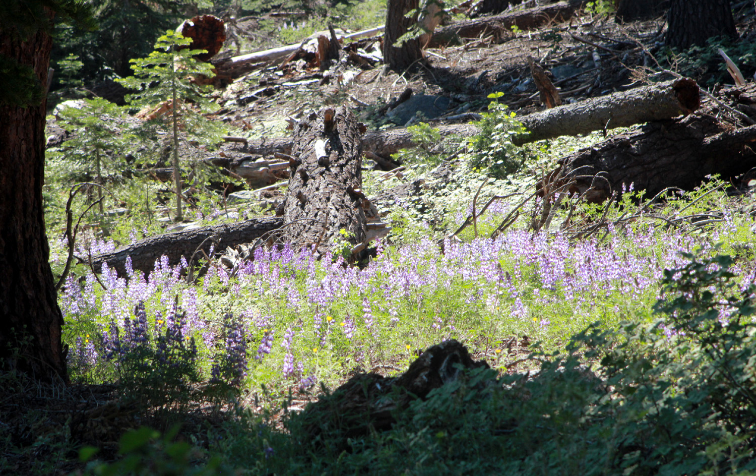
I did not have a formal check-out time, so on Tuesday, my last day, I took my time getting ready to go, just as I would if I were camping. I enjoyed some final "deck time," had bacon and toast for breakfast, and got everything cleaned up and put away. I took a final walk around the "Horseshoe," where I photographed a vista that is somewhat less than delightful. Much of this area was affected by the Creek Fire of 2020. It did not touch what is now the Upshaw property, but its scars are visible just over a hill back of the cabin, and especially down in a basin overlooked by the east end of the loop. What was once a thick forest is a land of blackened sticks and the brushy plants that are first to come back after a fire. |
|
 |
|
| Devastation from the Creek Fire of 2020; this scene is repeated over 380,000 acres of the Sierra | |
|
When I left for home I did not drive back out to Highway 168, but instead turned left on Auberry Road and went through the village of Auberry, then out to 168 below where it starts its climb up the 4-lane section. This offered some different scenery and avoided the three twisty, roller coaster miles between Bald Mountain Road and the highway. I was well satisfied with my short vacation, and a looking forward to another three-day stay scheduled for July.
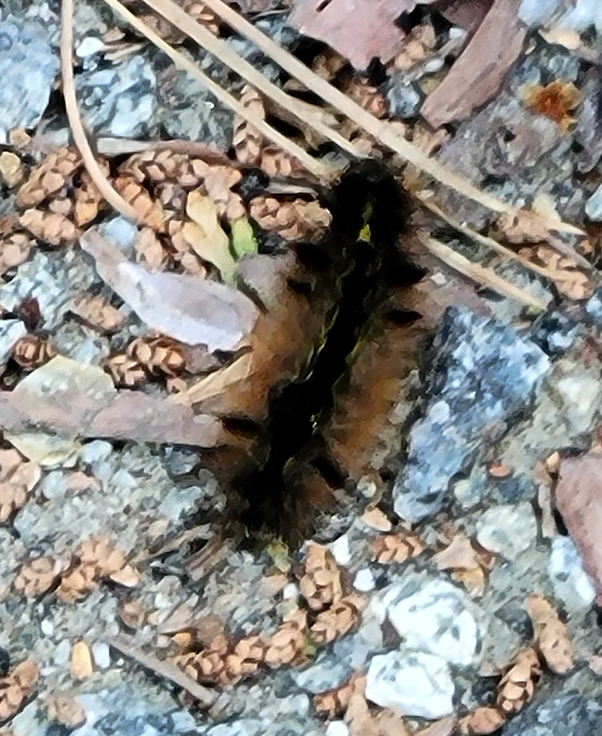
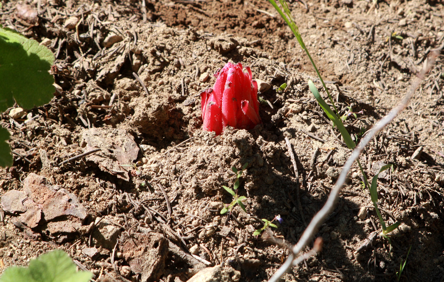
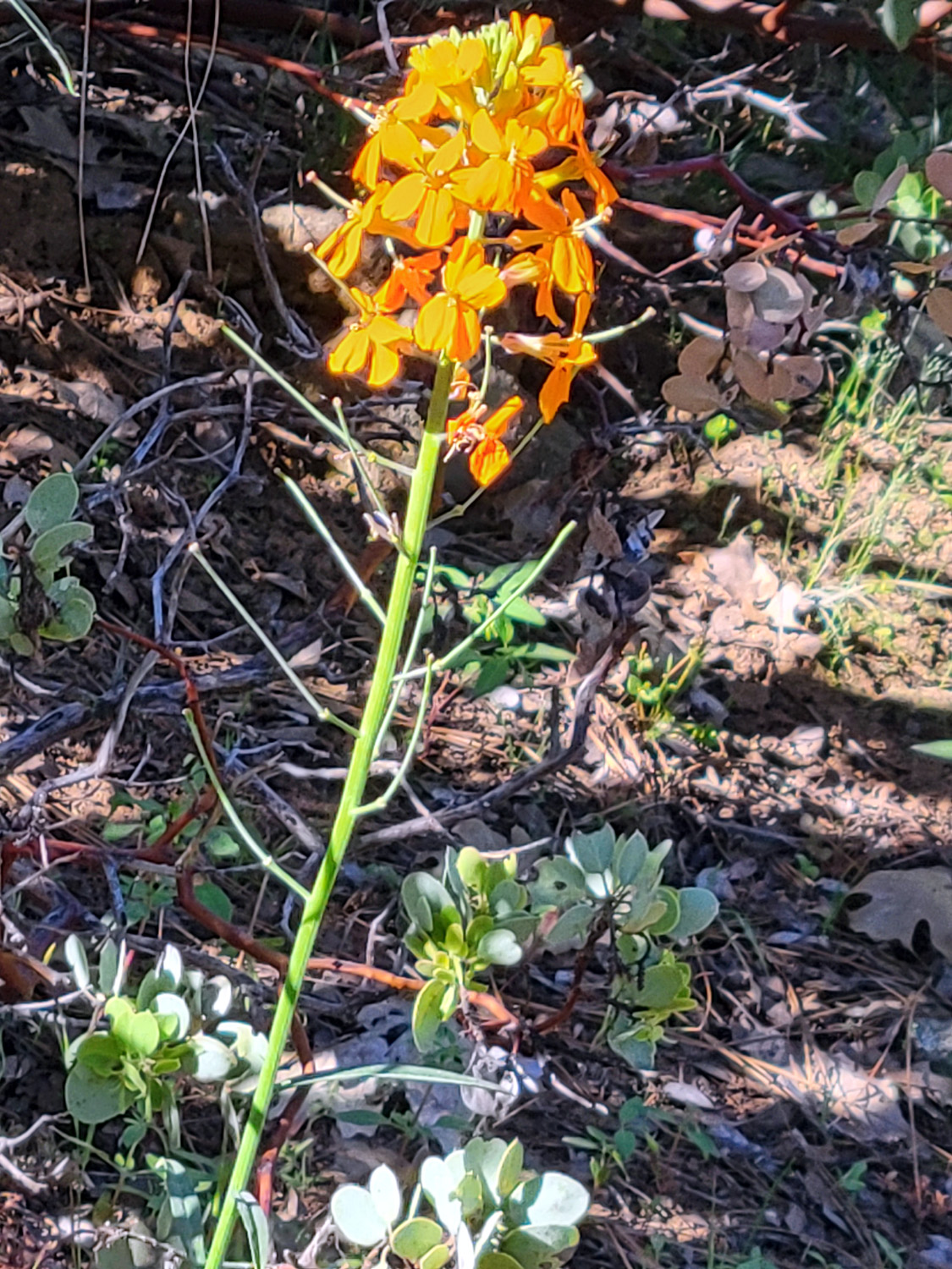
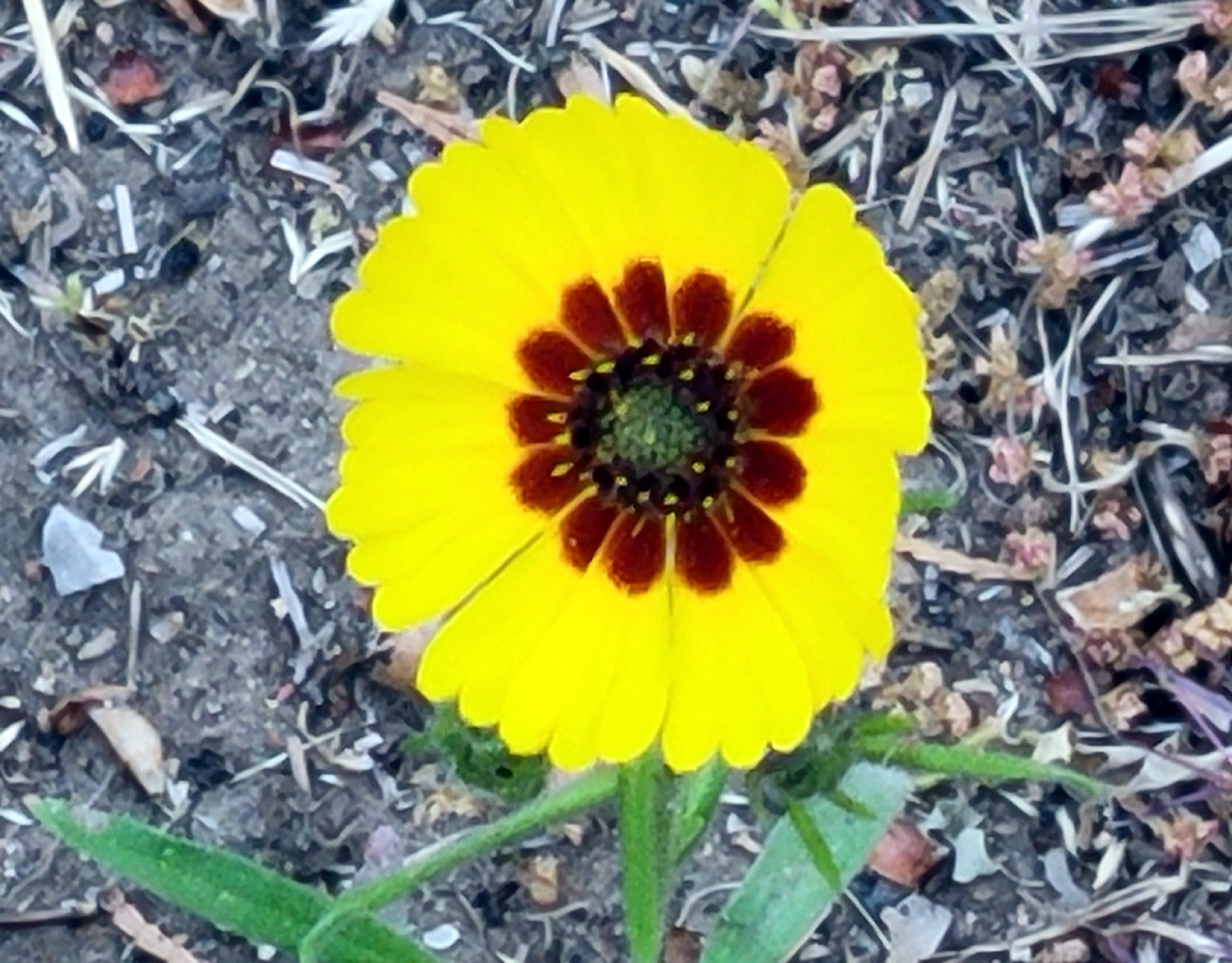
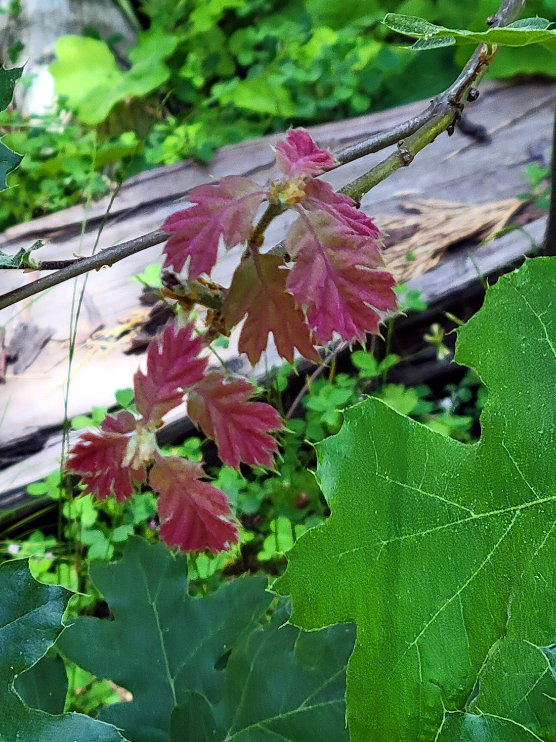
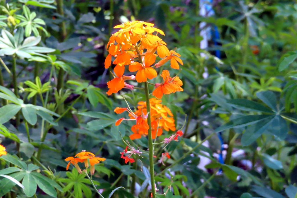
In addition to the flowers mentioned above, I saw farewell-to-spring, buckeye, chaparral, Sierra star, dove lupine, baby blue eyes, filaree, harvest brodiaea, blue dicks, tall lupine, penstemon, dogwood, and yellow violets. Driving up to Huntington, between Cressman's and the Shaver Lake Marina, I met over 50 trailers and motor homes heading home on Monday. This didn't leave the mountains unpopulated. When I returned to the cabin, where the highway runs close to Shaver Lake, there were cars parked on both sides of the road for a half mile, and many people in the water swimming and boating. I saw two gray squirrels and quite a few birds. No other wildlife. Shortly after I arrived I walked out from the cabin as far as I could go before encountering a fence. On my way back, I saw through the trees a patch of red flowers near the cabin. Up close they looked like this. There were patches of snow all along the Kaiser Pass Road, and large mound of very dirty snow near the ski lodge. I drove a total of 145 miles, and got 40.2 MPG in my hybrid. Take that, big oil! --Dick Estel, June 2024 |
|
|
Nelder Grove
I can't begin to tell you how happy I am to be writing about Nelder Grove. It's been one of my favorite spots since my first visit in 1969, but it has been closed for the last three years, due to so many trees having been killed by drought and fire (even including sequoias). It's not exactly wide open even now - the gate on the road to the campground is locked, requiring a hike of a quarter mile or so to where our outings normally start. So of course the campground is closed, and the current opening is very brief - it will close June 30 so that rehab work can continue. |
|
|
|
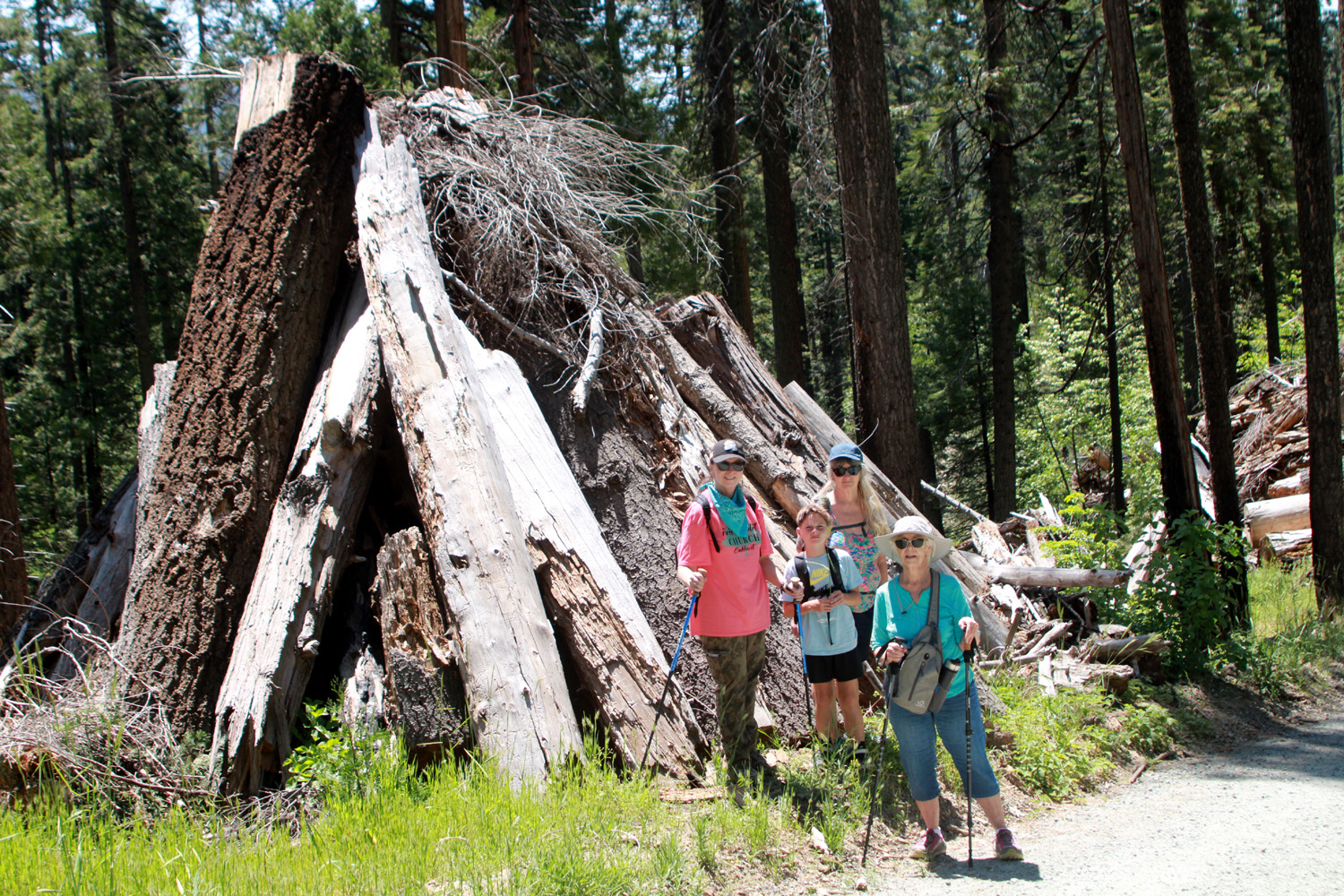
| Jennifer, Jack, Teri and Jackie pose beside one of many burn piles | Fire and insect damage produced seemingly endless dead logs |
|
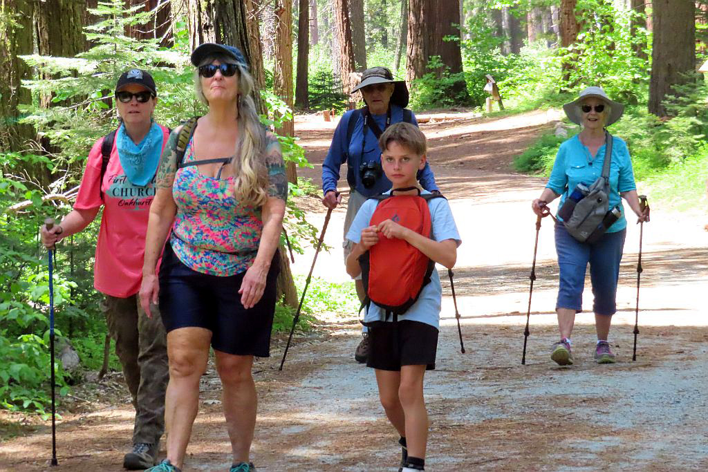
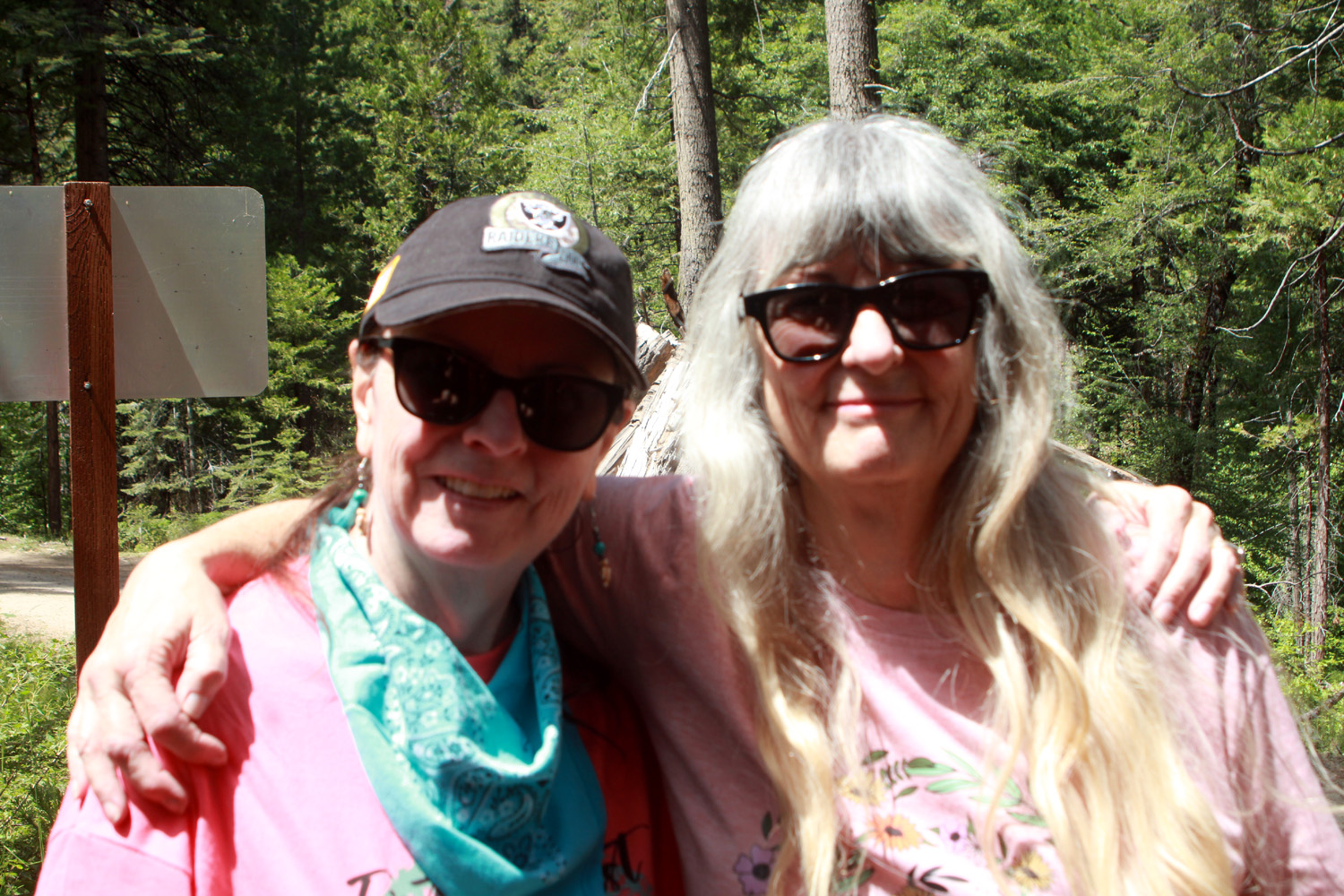
The Ramblers have hiked here a number of times, so we made plans to go on June 5. My friends from Mariposa, Susan and Andy Crandall, would join us. Then the wheels came off, the bottom fell out, and locusts took over the land. OK, it was not that drastic, but every Rambler ended up canceling. Andy and his friend David went, and enjoyed a four mile hike, and contributed some of the photos in this report. Fortunately, I had also scheduled a hike with family members for June 8, and this worked out perfectly. Our group was myself, daughters Teri and Jennifer, their mom Jackie, and great grandson Jack. We invited Susan and Andy to join us. They wanted to get an earlier start and said they would leave Mariposa at 8 a.m., an hour before our planned departure time from Fresno, and hoped we would meet up on the trail. |
|
|
|
| The Chimney Tree Trail was a challenge for Andy and David | David is temporarily stopped by this log across the trail |
|
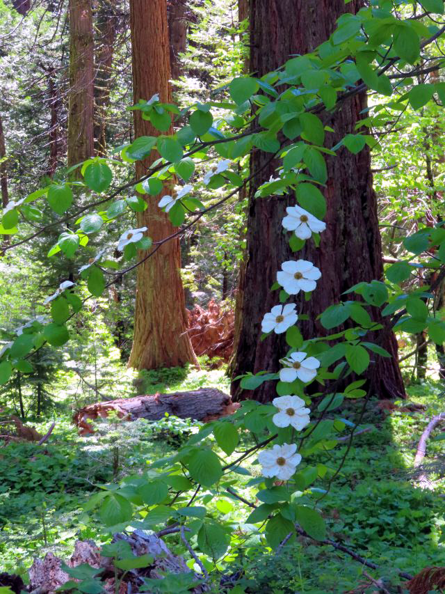
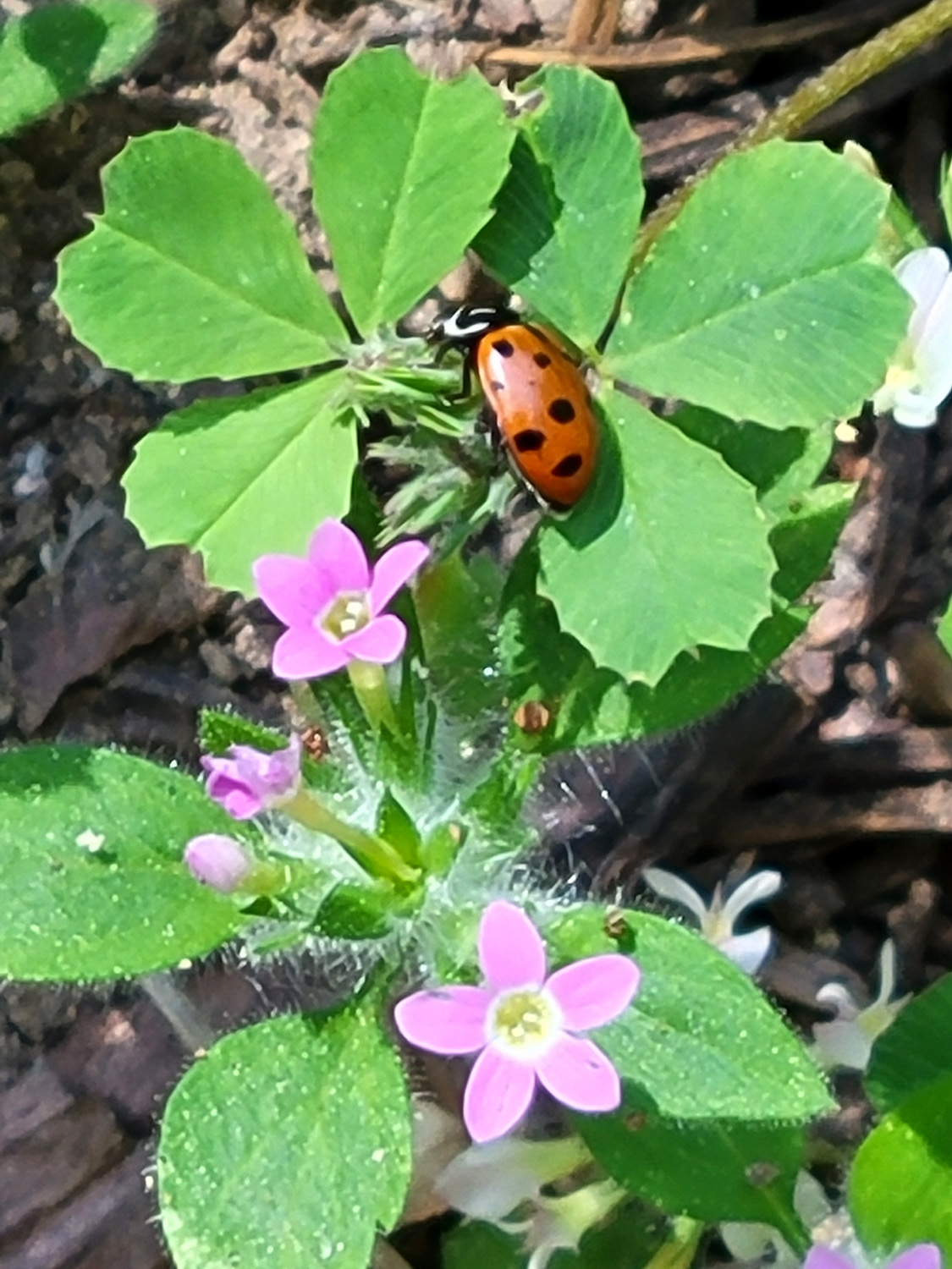
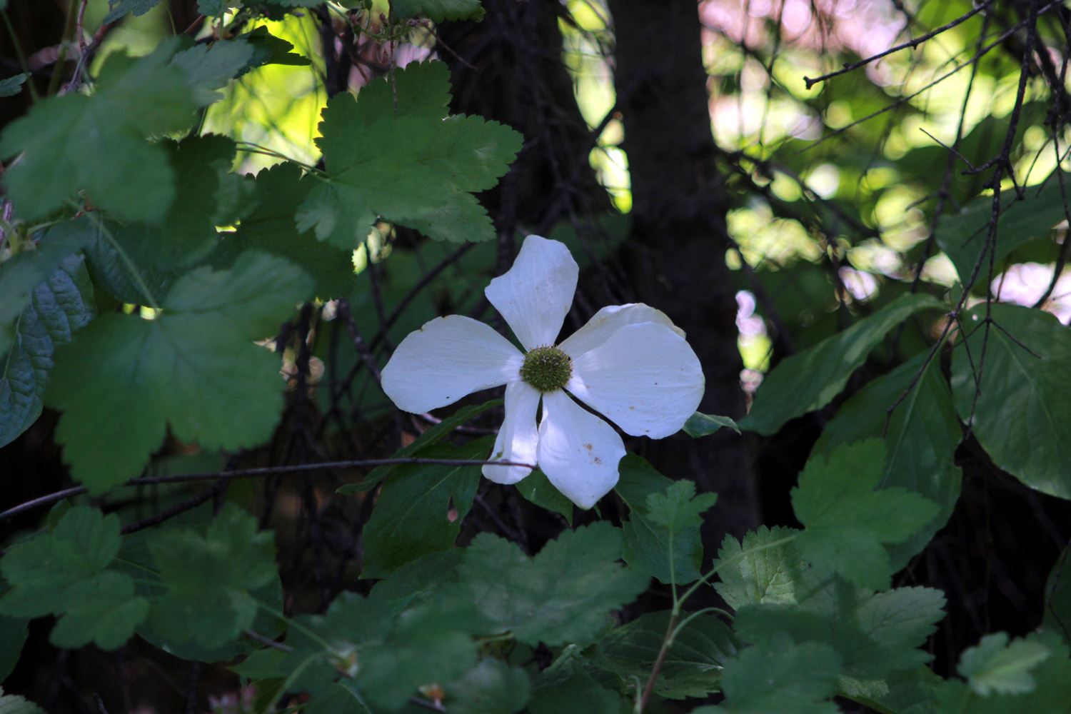
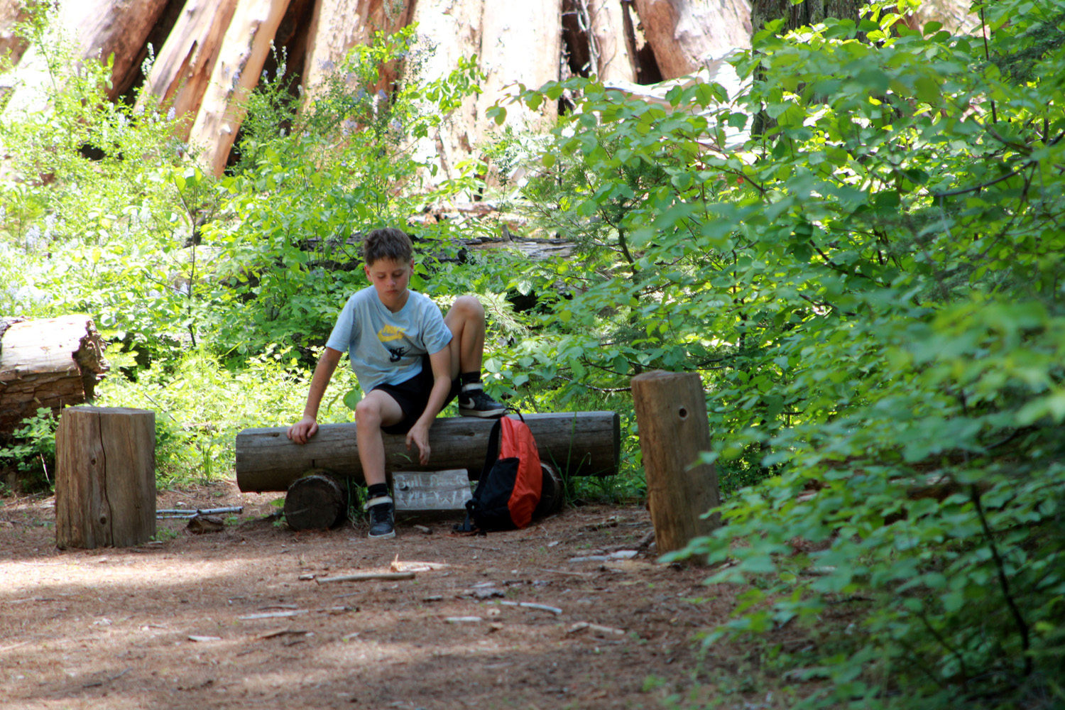
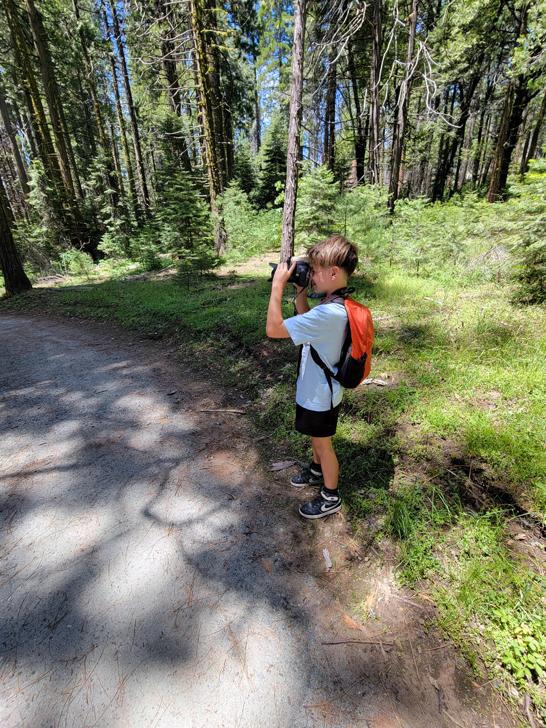
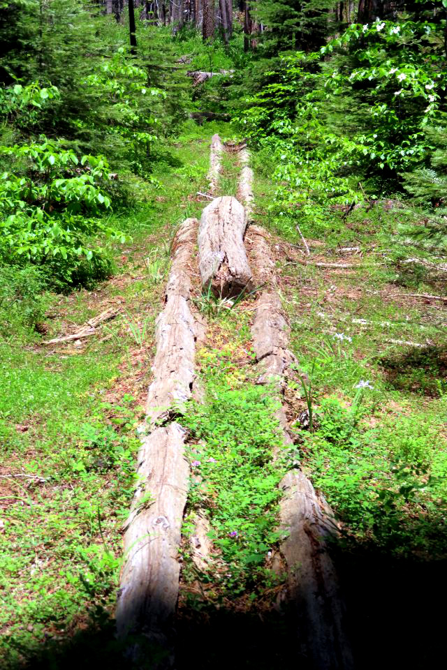
I took my pickup, because the last few miles are a dirt road which can range from pretty good to pretty bad. However, the road was newly graded and in better condition than it's ever been. This includes the section beyond the gate, which in the past has never been been better than pretty bad. The weather was nice, warm but not too much so. There is a very steep section at the start, but then the road levels out and goes through the interpretive center, the campground, and on to the jewel of Nelder Grove, the Bull Buck Tree. This would not be a Dick Estel report without mention of wildflowers, and we saw lots of wild iris, western wall flowers, and many unknowns, including a tiny flower no bigger than a ladybug. Great grandson Jack likes to take photos, so as we walked in I gave him my camera, knowing from experience that he will have a different point of view and will capture some images that would not occur to me. |
|
|
|
| Wild iris are in bloom all over the Sierra | Ladybug gives us perspective on how tiny these blossoms are |
|
|
|
Jack captured this dogwood blossom surrounded by wild blackberry leaves |
This fuzzy fellow would not stop long enough for a really good photo |
|
We were on the last section of the road to the campground when Teri spotted Susan and Andy coming toward us, and capturing a nice photo. We chatted for a few minutes, then went our separate ways. But there were still more people to meet. Brenda Negley, whose grandparents were campground hosts for 20 years, and who spent summers as a child and young adult in the grove, was guiding a group on a hike. She is in touch with the Forest Service and aware of their plans. She said there is still a great deal of work to be done to make the area safe and fully accessible. She said that the expectation is to have it open next year, meaning when the snow melts near the end of the winter of 2024-25. But we celebrated the fact that it is open at all. |
|
|
|
| When we met Susan she quickly snapped this photo | Andy rests at the interpretive center |
|
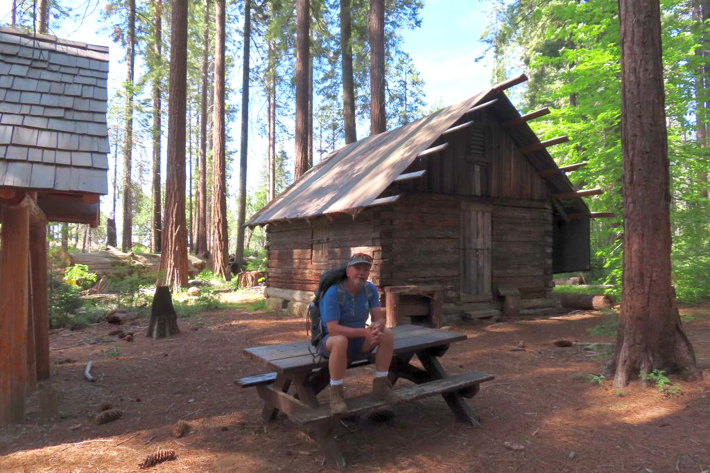
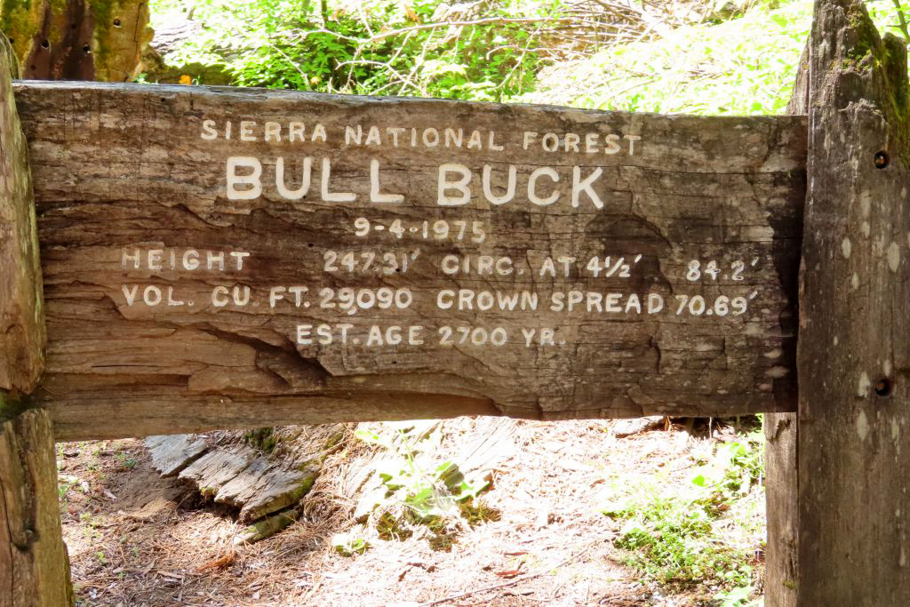
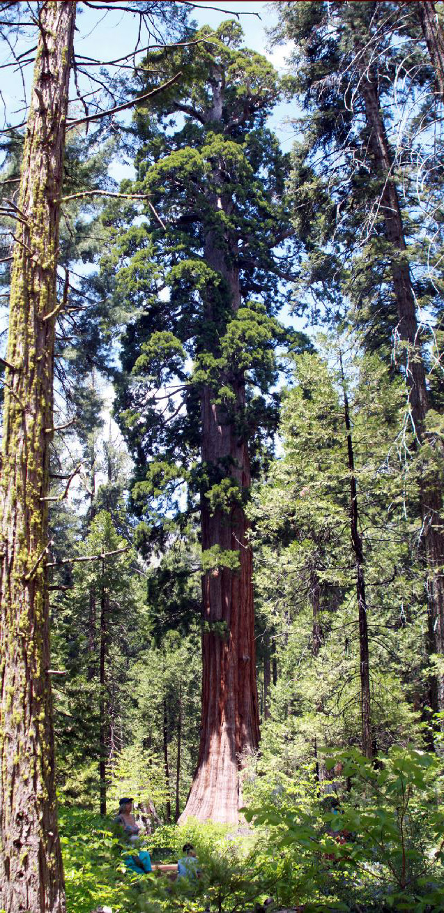
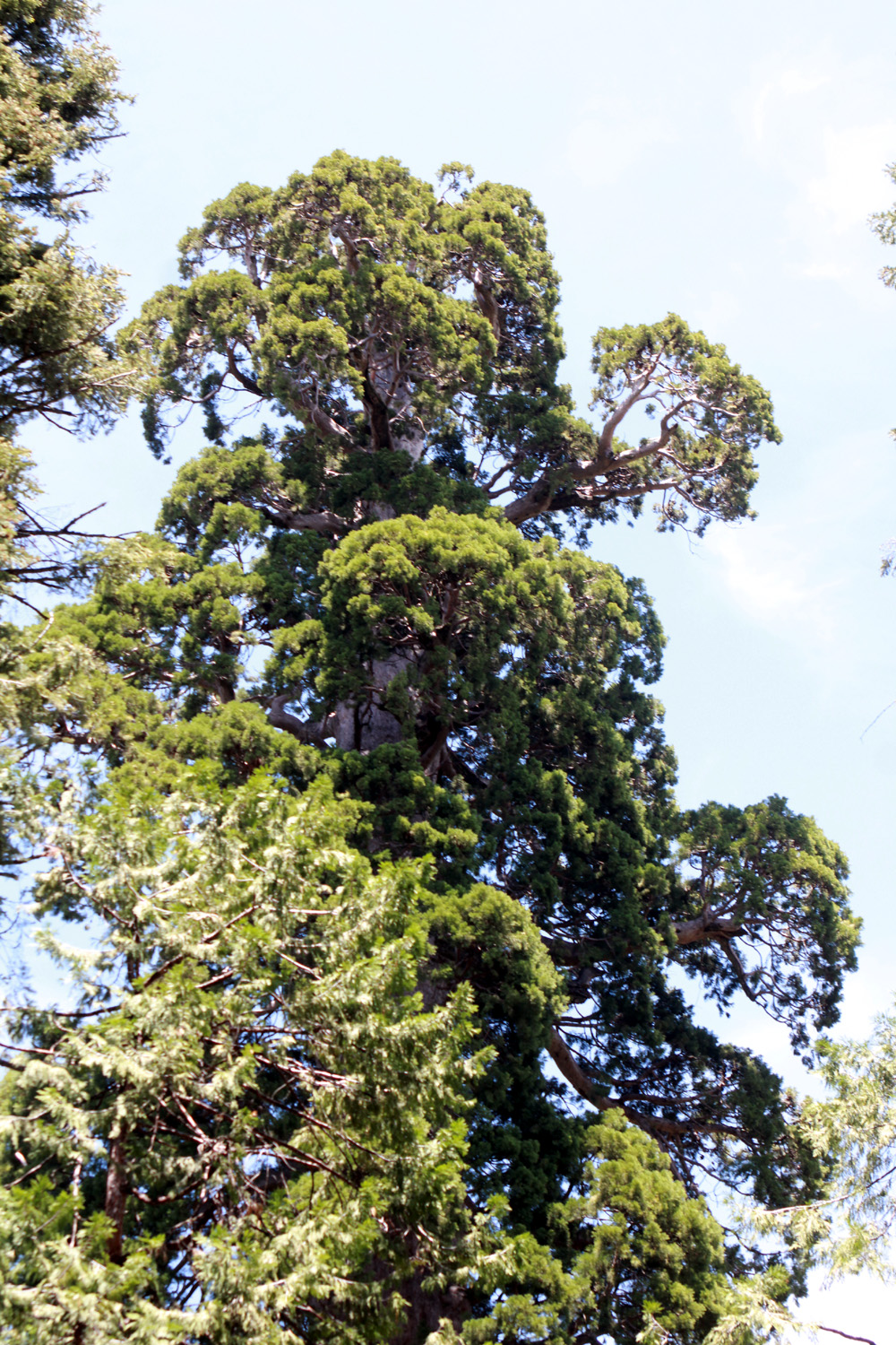
From the campground it is just a quarter mile to the Bull Buck via the old road. There is a half-mile trail through the woods, but it is blocked in many places by fallen trees. The Bull Buck is one of the more perfectly shaped giant sequoias in the entire Sierra, tall and straight, with hardly any of the typical dead branches near the top. It stands in a row with the stumps of two other trees that were cut down in the 1890s, and we could only imagine what a wonderful sight it was to see them still intact. A sign erected in 1975 gives the tree's statistics, including the height of 247.31 feet. We speculated on how much taller it might be 50 years later. When we first came to this area in 1969 there was no place you could stand to see the Bull Buck from top to bottom. Eventually the Forest Service cleared a stretch of land out from the tree and provided a bench where visitors can wonder at the full towering height of this giant. |
|
|
|
| A forest giant in numbers | The Bull Buck Tree |
|
|
| Jack at the Bull Buck vista point | The Bull Buck has a classic rounded top |
|
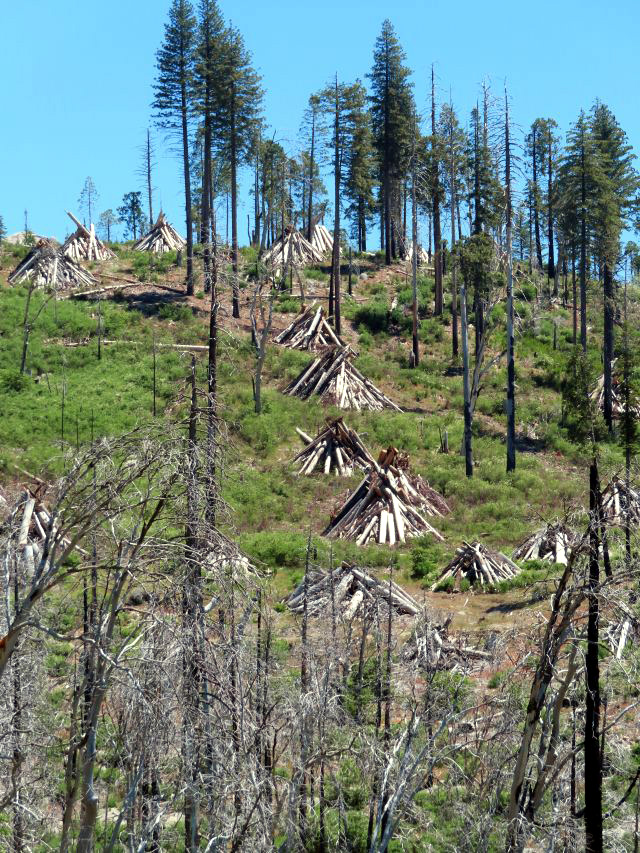
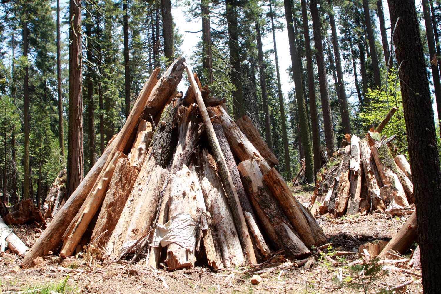
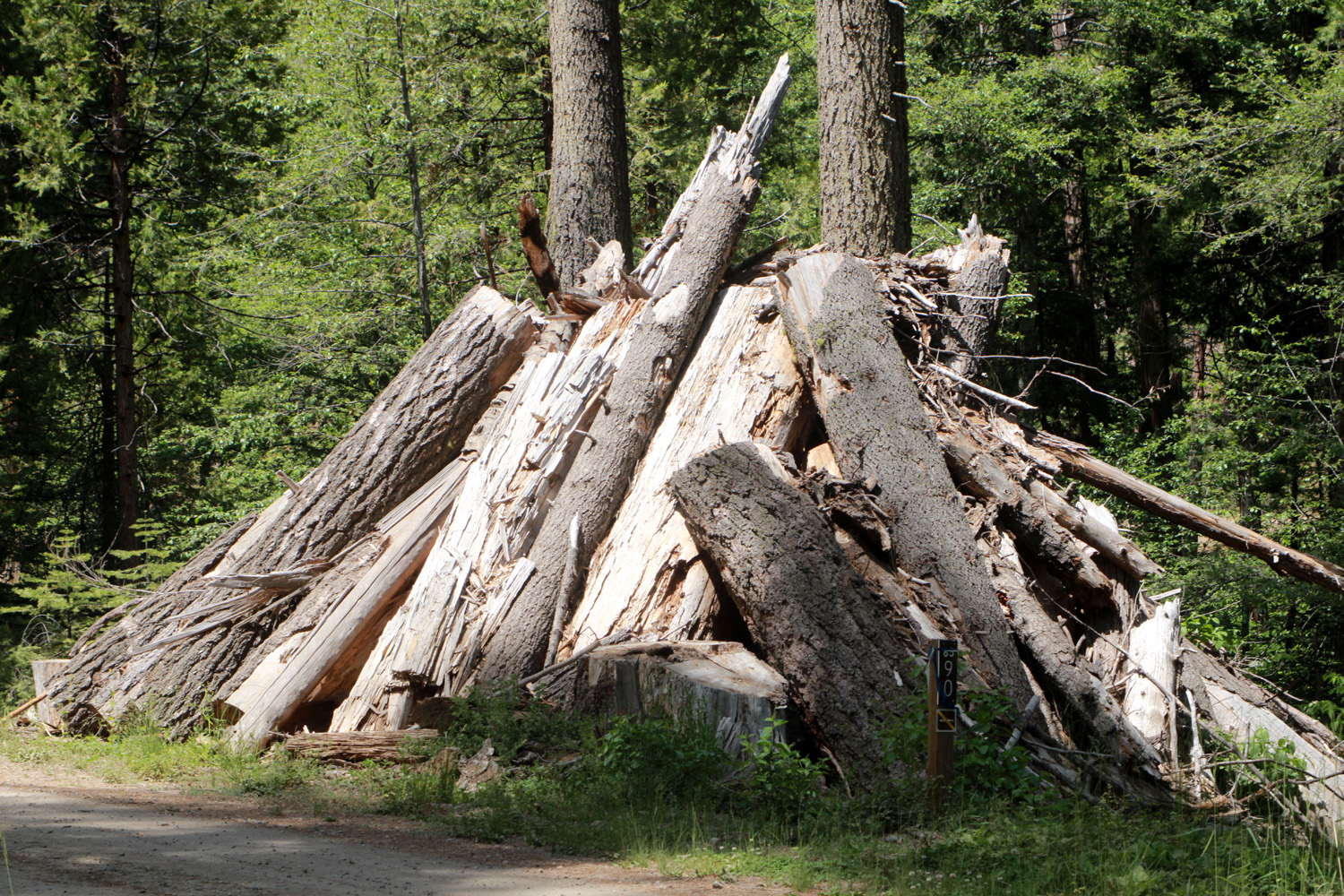
As mentioned earlier, there are a lot of dead trees that need to be removed. Anywhere that tree removal goes on, you will see burn piles, limbs and brush in classic campfire teepee form. Usually the ones we've seen have been about the height of a man. Right now in Nelder there are hundreds of such piles, most of them 15 to 20 feet tall, with "sticks" as much as three feet in diameter. The normal plan is to start burning after the first snow. |
|
|
|
| One of dozens of burn piles | When this gets burned, bring a bag of REALLY big marshmallows |
|
When we finished marveling at the Bull Buck, we hiked back to our cars. Jennifer had a lunch date with husband Rod; the rest of us went to our favorite Oakhurst restaurant, El Cid, and enjoyed excellent Mexican food. With the grove closing on June 30, we probably won't be able to do our usual fall hike there. Meanwhile you can enjoy some of the fall colors that we captured when the Ramblers last went to Nelder in October of 2019. --Dick Estel, June 2024 |
|
|
Rancheria Falls
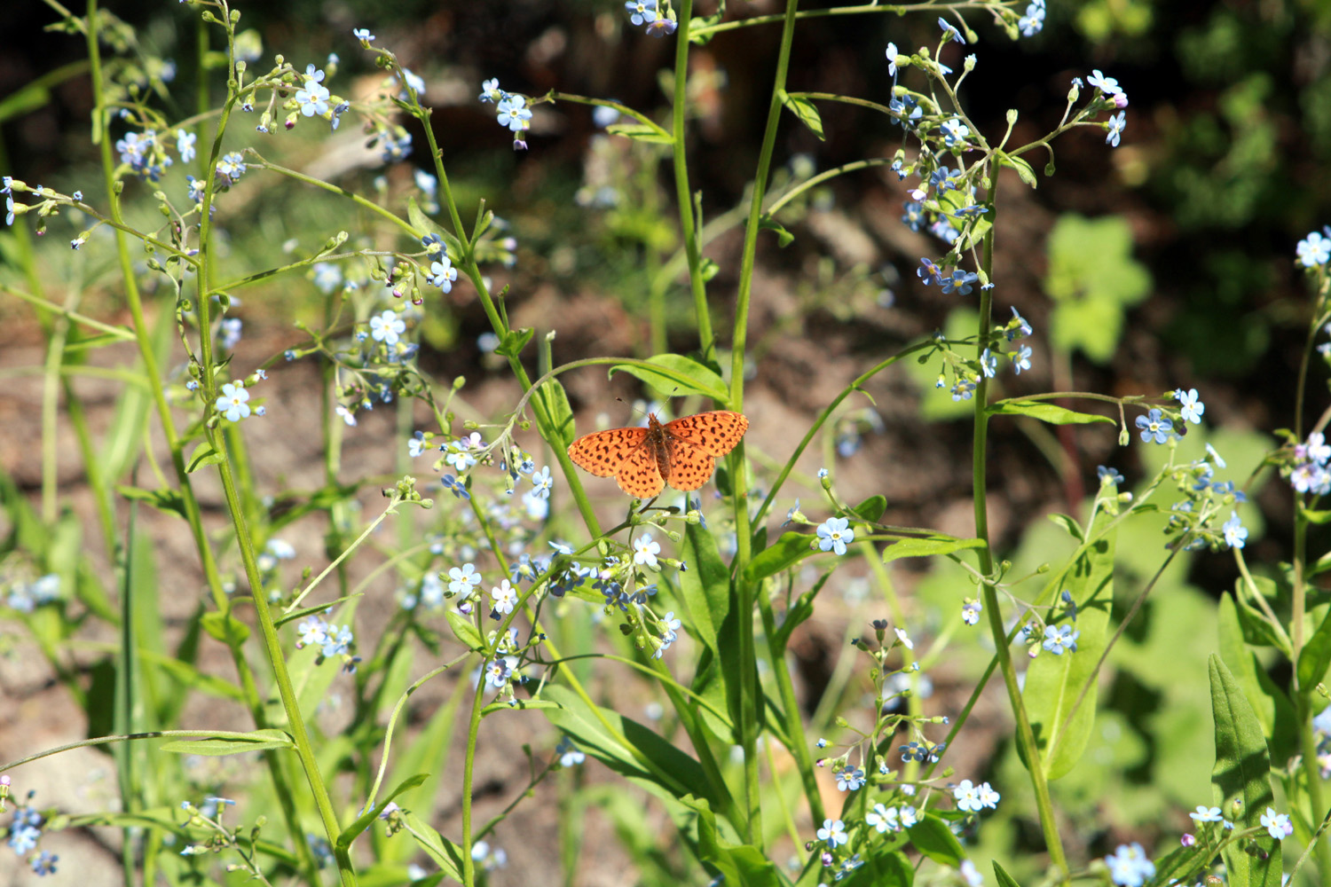
My plan is to make this short and sweet, since I've been to this location a number of times - in 2016, later in 2016, in 2017, in 2018, in 2019, again that year with great grandson Colton, in 2020 with Colton and his brother Jack, in 2021, and again last year. You can read these, especially the earlier reports, for details on location and how to get there, so I'll just focus on what was new this year. The hikers this time were my former work colleague, Ardyss, great grandson Jack, and me. My former wife Jackie planned to go, but bad air caused her allergies to flare up, and she had to pass. The dirt road into the trailhead is a rough mile, with lots of bumps and dips, so we were glad to have Ardyss' all-wheel drive Subaru. There were two cars at the lot when we arrived, but three more drove in before we got on the trail. It was a very pleasant walk, with lots of flowers along the way, and of course many firs and pines. The trail goes up to 7,500 feet, where red firs are the dominant tree. The most common flowers were lupines, creating large patches of blue above and below the trail. |
|
|
|
| A big patch of lupines | Blue flowers with butterfly |
|
Jack likes to take over the camera, and can be counted on to photograph something that would not catch my eye. Of course, I delete about half of all photos, mine or Jack's. This is the wonder of digital photography - you can "waste" 100 shots to get a few good ones. In the days of film, I would maybe take two 36-exposure rolls on a major trip, and half a roll on a hike like this - then pay around $13 total, purchasing and developing, for each roll |
|
|
|
| Snow plants often emerge before the snow melts | Lupine bud up close |
|
The falls were delightful as always. They were not as full as we've seen them in the past, but were still flowing powerfully. From the first time i saw these falls, I declared them to be one of the best waterfalls I had seen outside of a national park. Jack's parents hiked in through the snow in April, including the two miles from the highway to the trailhead, since the access gate was locked. I limit myself to enjoying things like that through photos only. |
|
| 1 | |
|

|
| Jack at Rancheria Falls | Wide view of the falls |
|
Counting people we met on the trail in both directions and at the falls, there were at least 50, maybe 100 adventurers enjoying the area. We "took turns" getting out on the last few feet of the trial where the best view is seen. We lingered long enough to take photos and soak in the view, then made our way back to the trailhead. Grandson Johnny had recommended the Hungry Hut in Shaver Lake, so we stopped there for what proved to be an excellent lunch. Jack already had his sights on a milkshake, and Ardyss was inspired to try the boysenberry shake. She enjoyed it so much she plans to go back. At the end of the day, we all agreed that you can't go back to Rancheria too many times. --Dick Estel, July 2024 |
|
|
Photos (Click to enlarge; pictures open in new window) |
||
|
Mile High A-Frame |
||
 |
 |
 |
| The interior, before repair and remodel | Western wall flower | These daisies ranged
from one half to one and a half inches in diameter |
 |
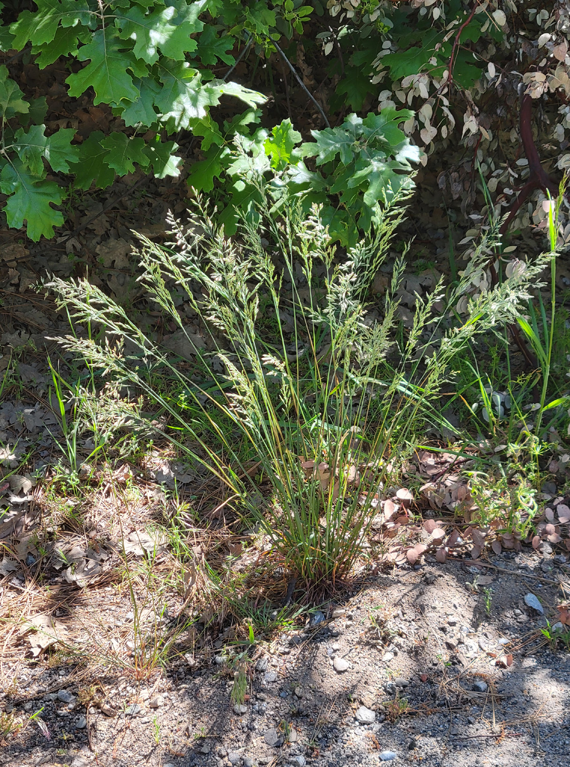 |
 |
| Penstemon | A nice clump of bunch grass | Walking back to the
house I spotted a cluster of red flowers through the trees. Well, not exactly |
 |
|
 |
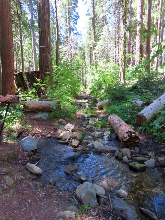
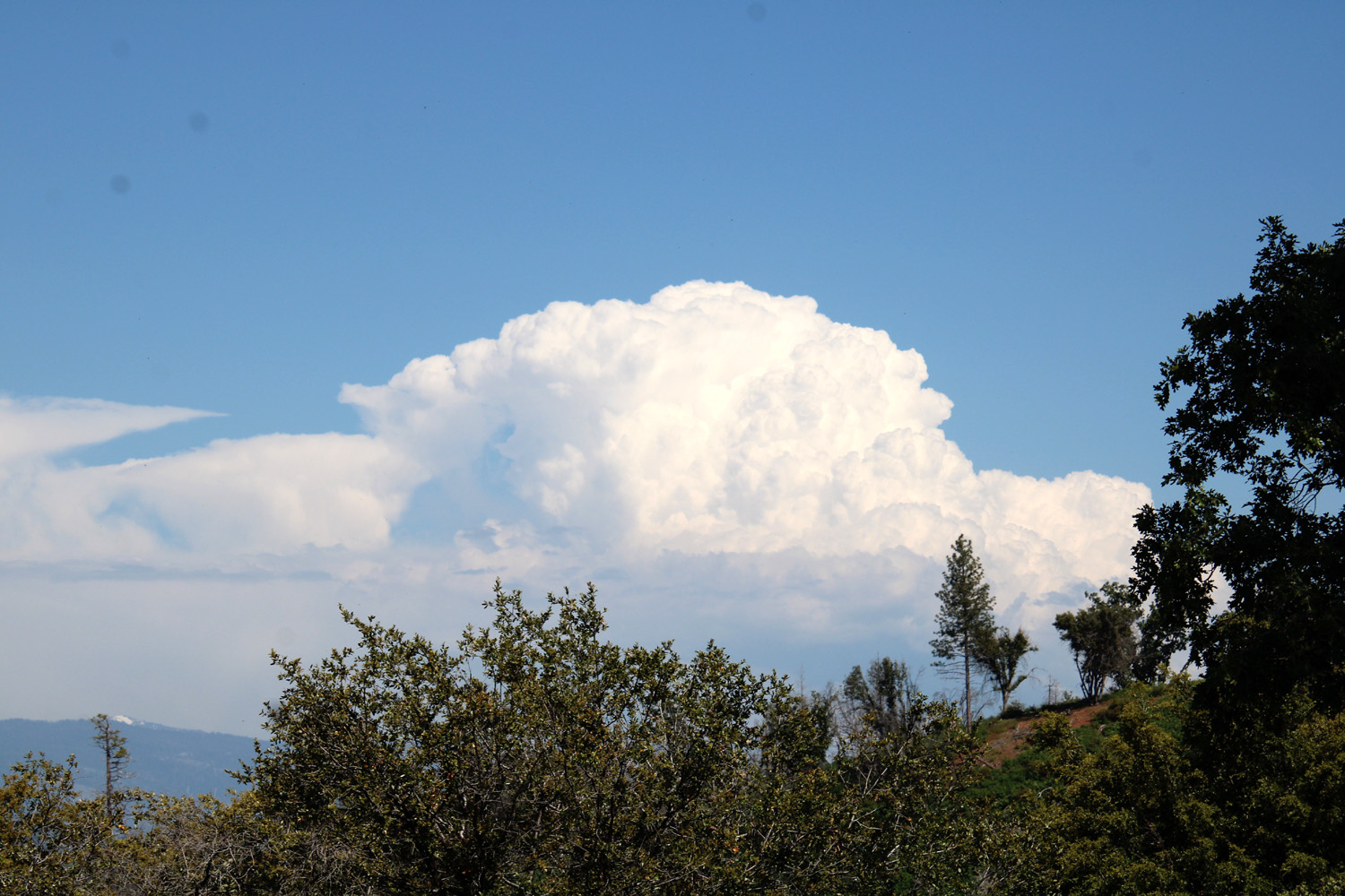
| Clouds over the Sierra | Big Creek lives up to its name | Yellow violets by the Indian Pools trail |
| Nelder
Grove (Photos by Jack Upshaw, Susan & Andy Crandall, and Dick Estel) |
||
 |
 |
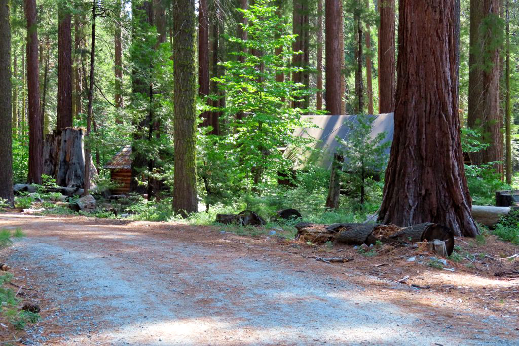 |
| Jack lines up the shot | Sisters: Jennifer and Teri | The road where it
approaches the interpretive center |
 |
|
 |
| Black oak leaves start out red | Sequoia makes a
perfect background for dogwood blossoms |
Two pole log chute
helped guide logs out from the woods where they fell |
 |
 |
 |
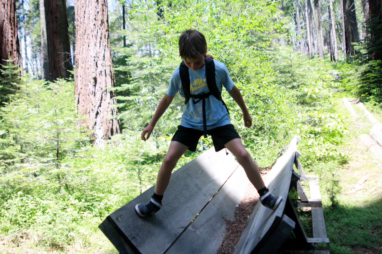
| Kids always like to play on the flume replica | Susan was captivated by these ferns | Western wall flowers were at their best |
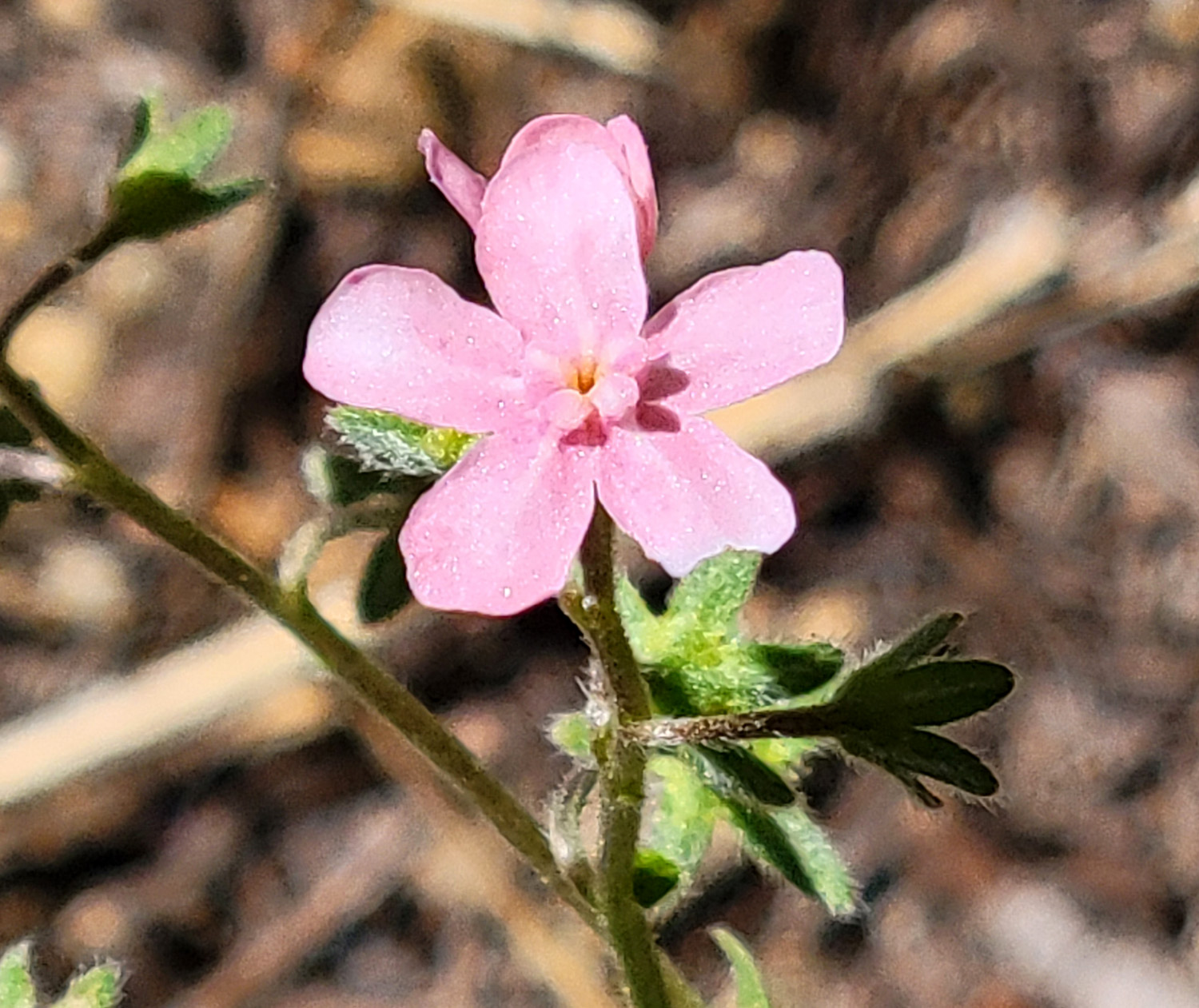
| Rancheria Falls | ||
 |
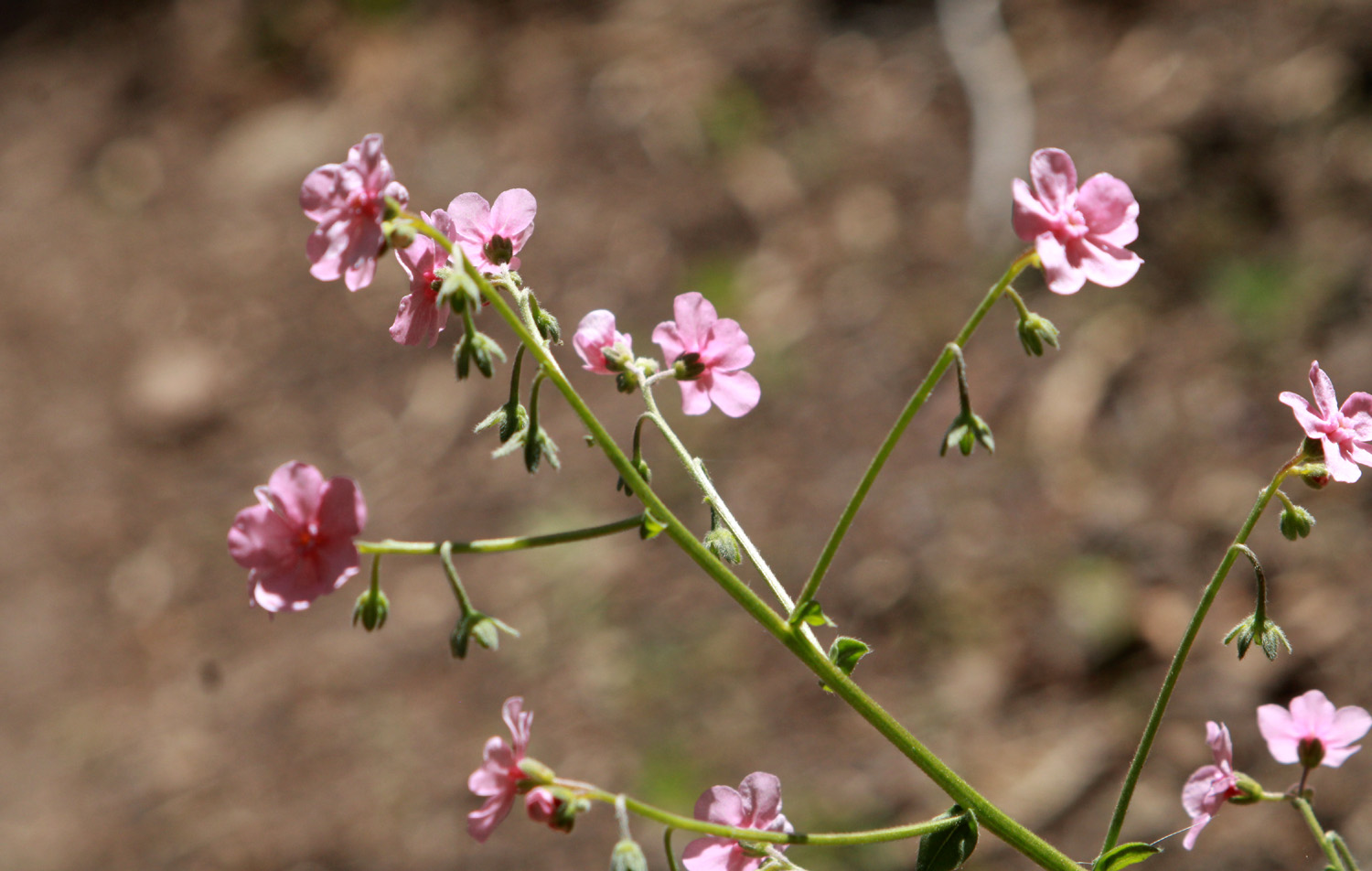 |
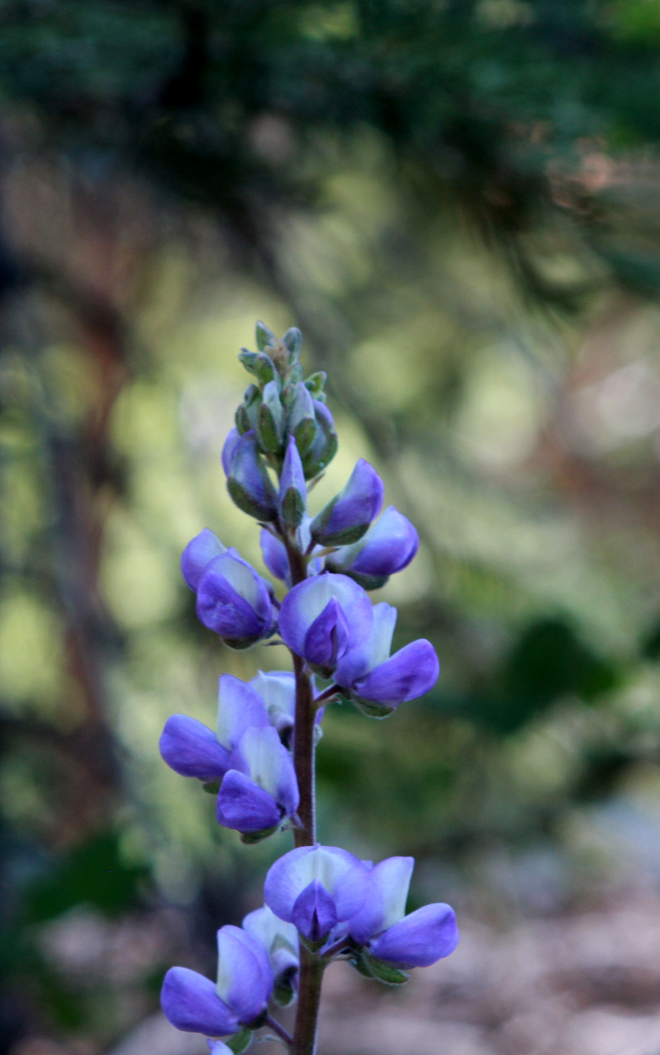 |
| Unidentified pink flower | A stalk of those pink flowers | Lupine |
 |
 |
|
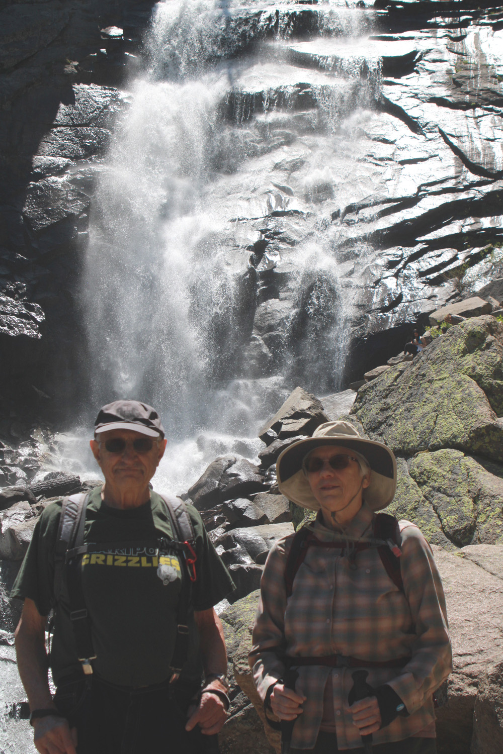
| Cascade below the main falls | Another lower cascade | Dick and Ardyss at Rancheria Falls |
| Related Links | ||
| Shaver Lake | More about Shaver Lake | Big Creek Hydroelectric Project |
| China Peak Ski Resort | Cressman's General Store | Ritter Range |
| Banner Peak | Minarets | Fuller Buttes et al |
| Huntington Lake | Dick's Redwood Gallery | Nelder Slide Show |
| The Last Ramblers Hike at Nelder | Dick & Jennifer's 2020 Hike | Friends of Nelder Grove |
| USFS Nelder Grove Site | Dick's Nelder Site | El Cid Mexican Restaurant |
| Graveyard of the Giants Hike | Sierra National Forest | Rancheria Falls |
| Wes's Rancheria and Big Creek Video | Rancheria Falls Trail | Hungry Hut |