
Dick's Adventures of 2018 - Part 2 |
||
|
Adventures of 2016 Adventures of 2017 2018 Part 1 2018 Part 3 |
||
|
Camp Four and a Half Cabin San Joaquin Gorge Bridge Trail San Joaquin River Trail West Back to the Cabin Wawona Hike and Camp |
||
|
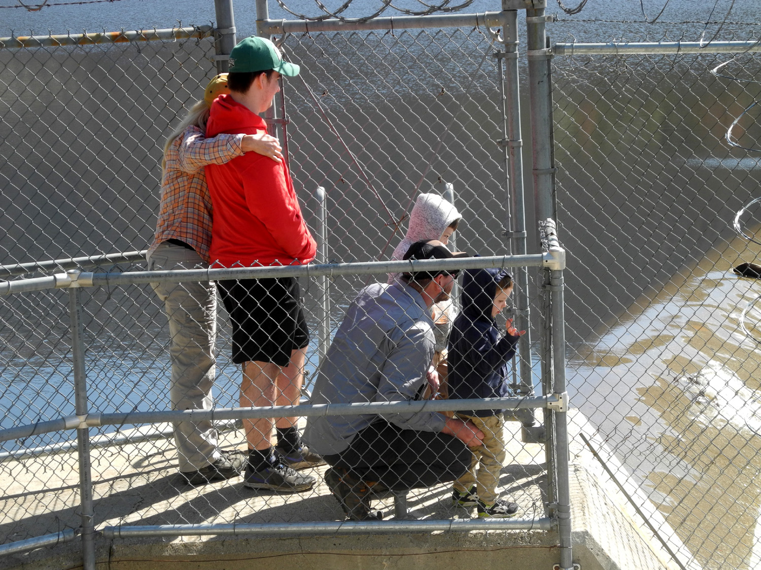
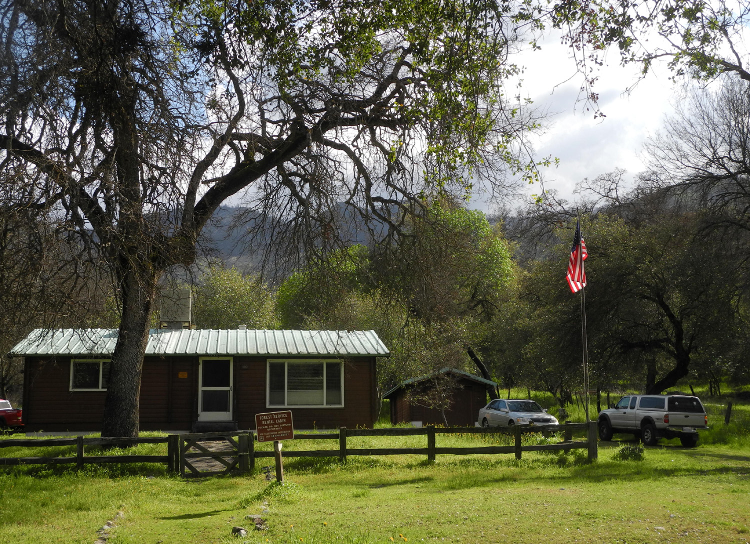
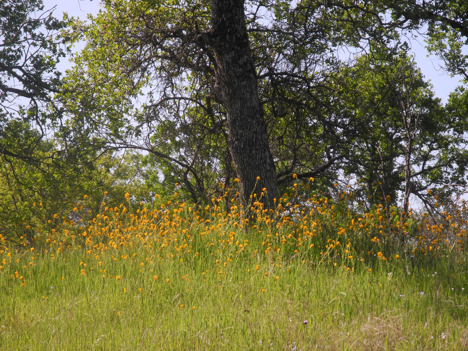
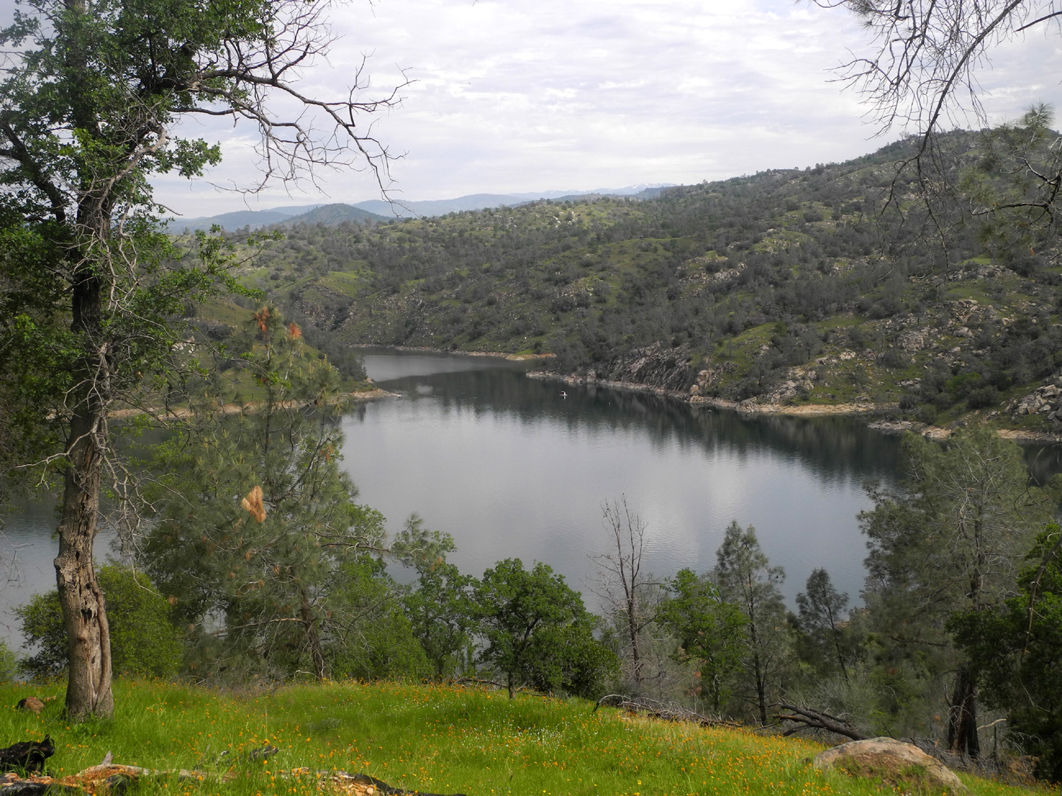
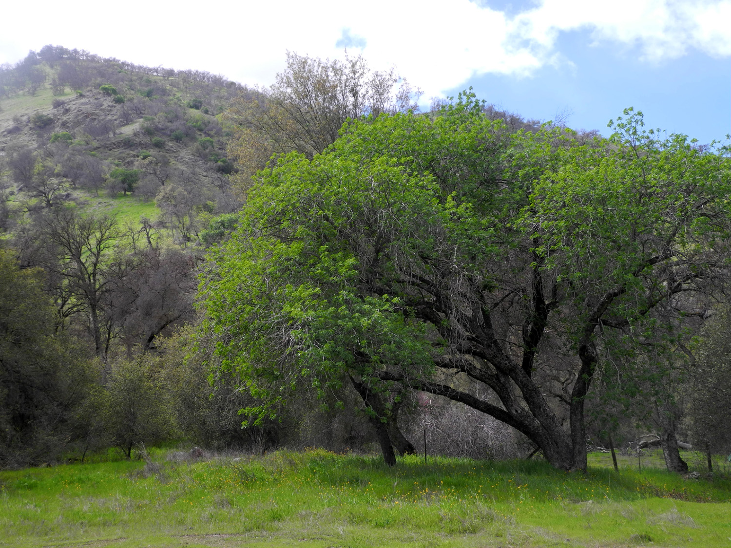
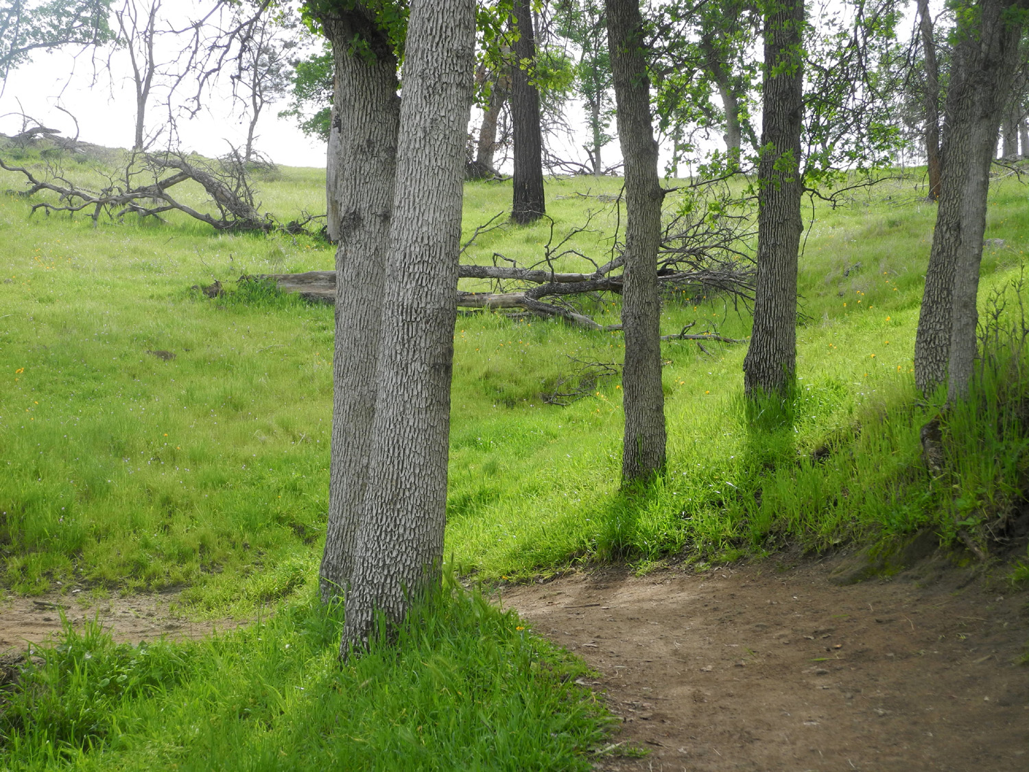
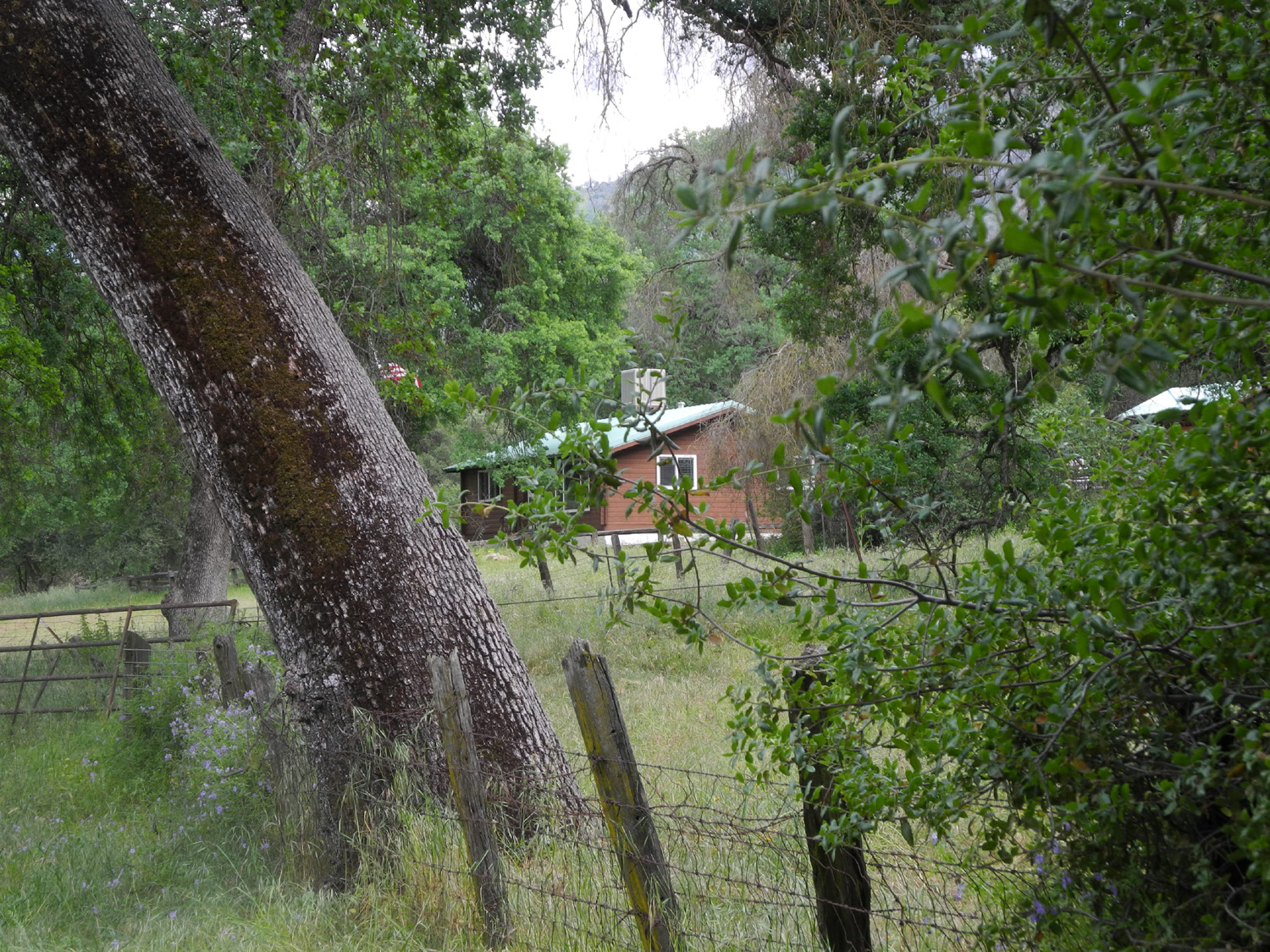
Camp Four and a Half Cabin You could probably think of a catchier name for a camping place than Camp Four and a Half Cabin. There's surely an interesting explanation for the name, especially when you consider that it is just down the road from Camp 4. But all that is unimportant for the purpose of this report. What is pertinent is that it's a rustic structure built in the 1950s for use as a ranger residence, and is now a nicely modernized rental cabin where I stayed with family and my friend Wes for three nights, March 23 through 25. Its primary attraction for us is the location - a mile up the dirt road on the south side of the Kings River above Pine Flat Reservoir, in the Sequoia National Forest, surrounded by wildflowers, buckeyes, and huge valley oaks. And it's only a short walk of two hundred yards or so from the river. |
||
 |
 |
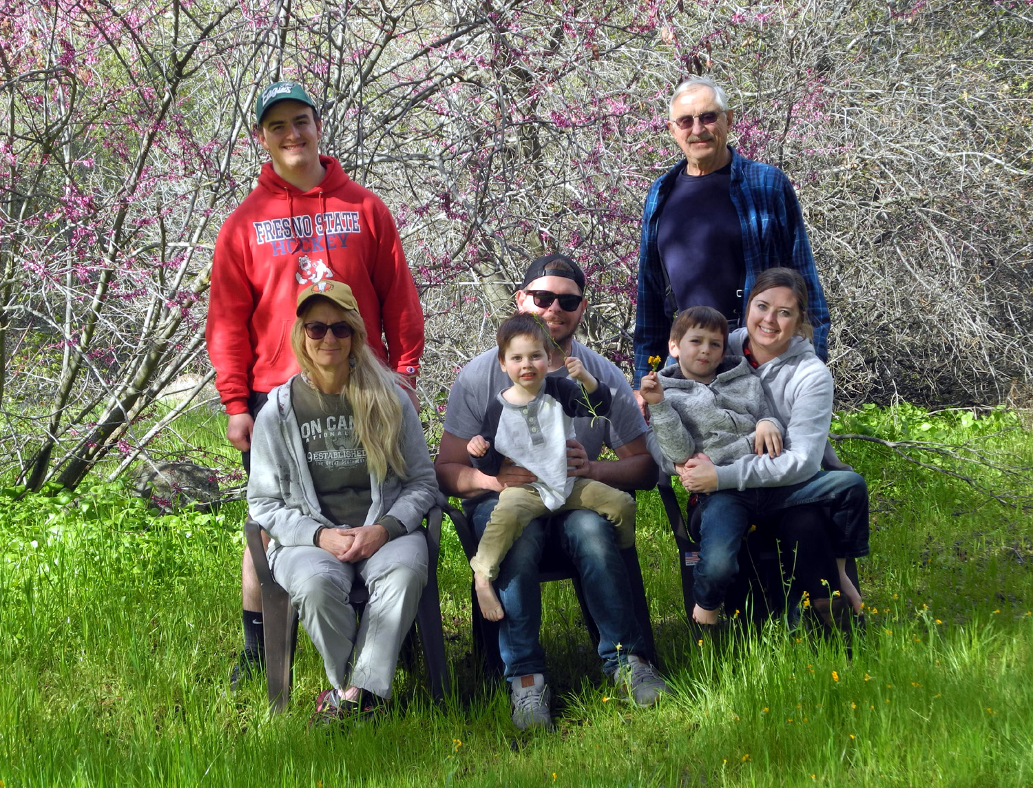 |
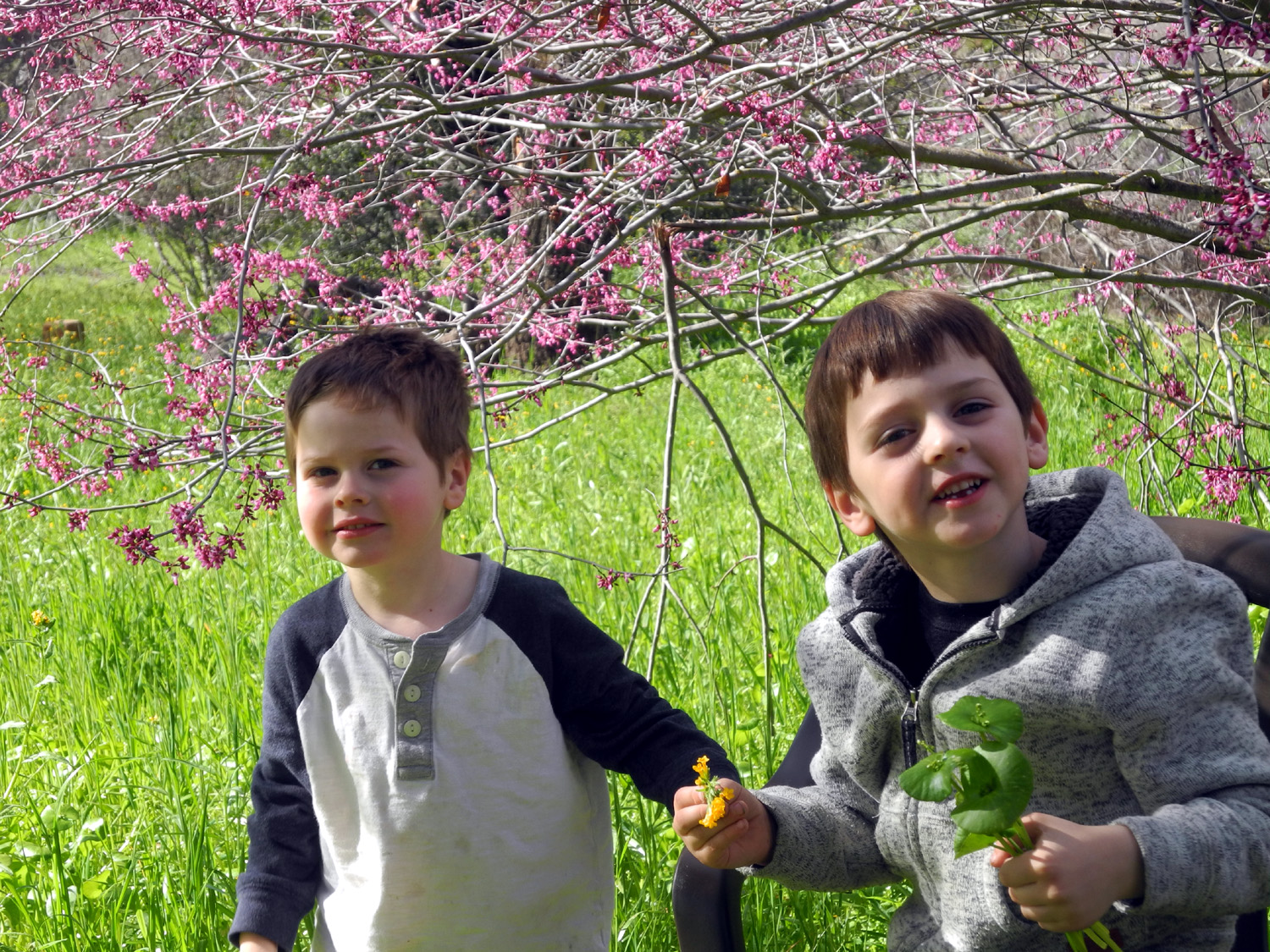
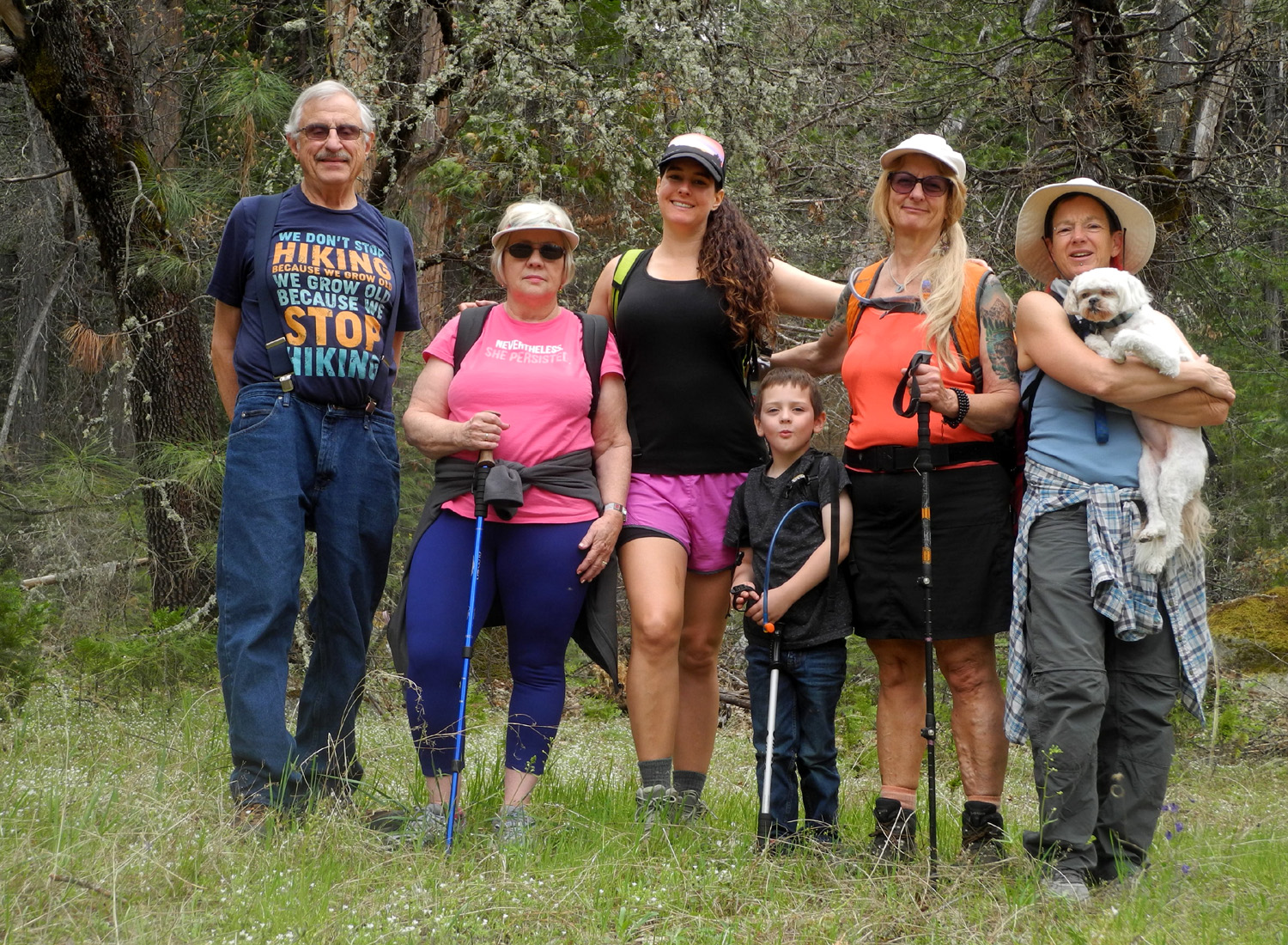
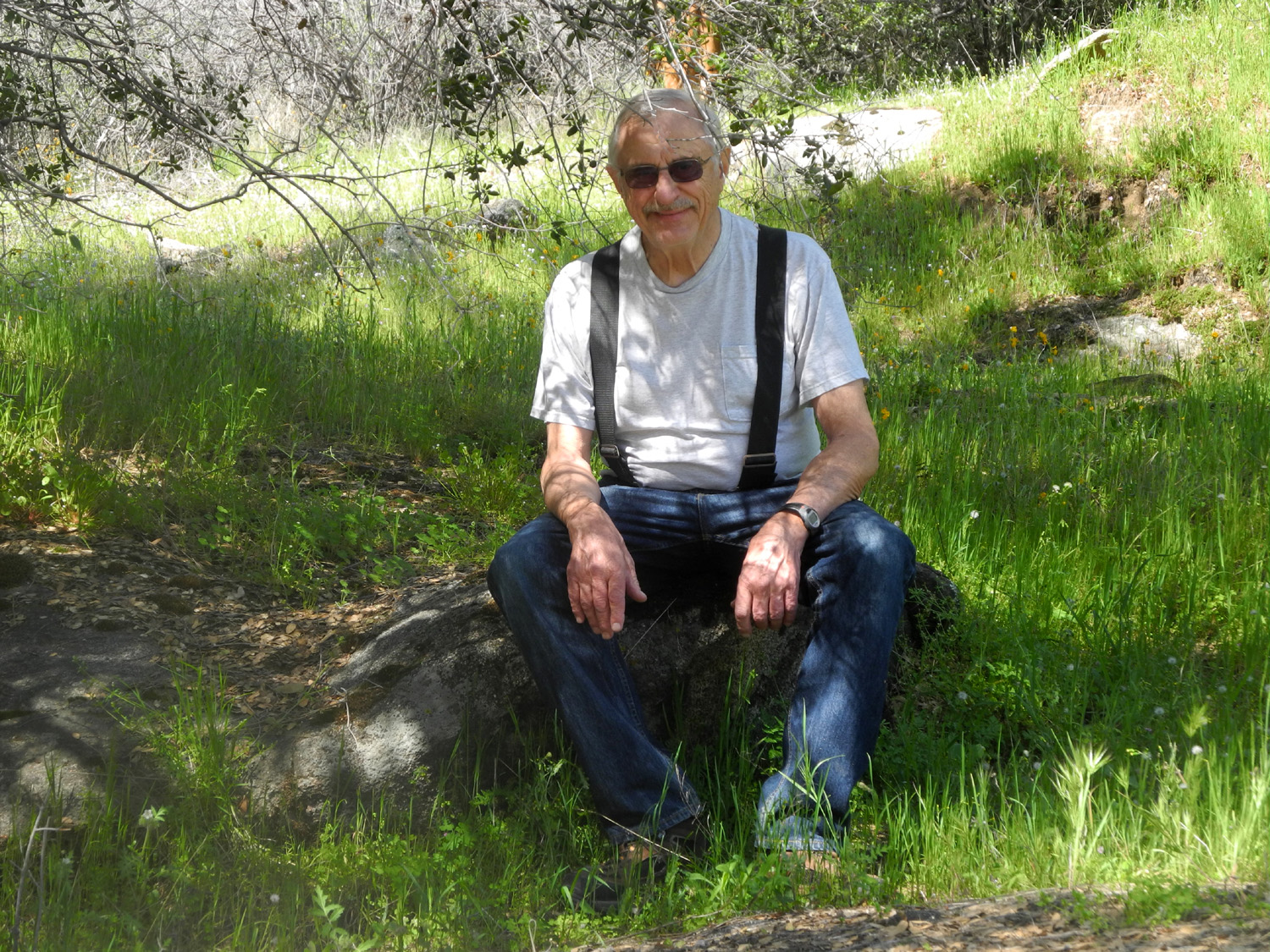
| Camp Four and a Half Cabin | Jack and Colton across the road from the cabin | Standing: Mike Liddle, Dick Estel; sitting Teri Liddle, Johnny Upshaw holding Jack; Brittany holding Colton |
|
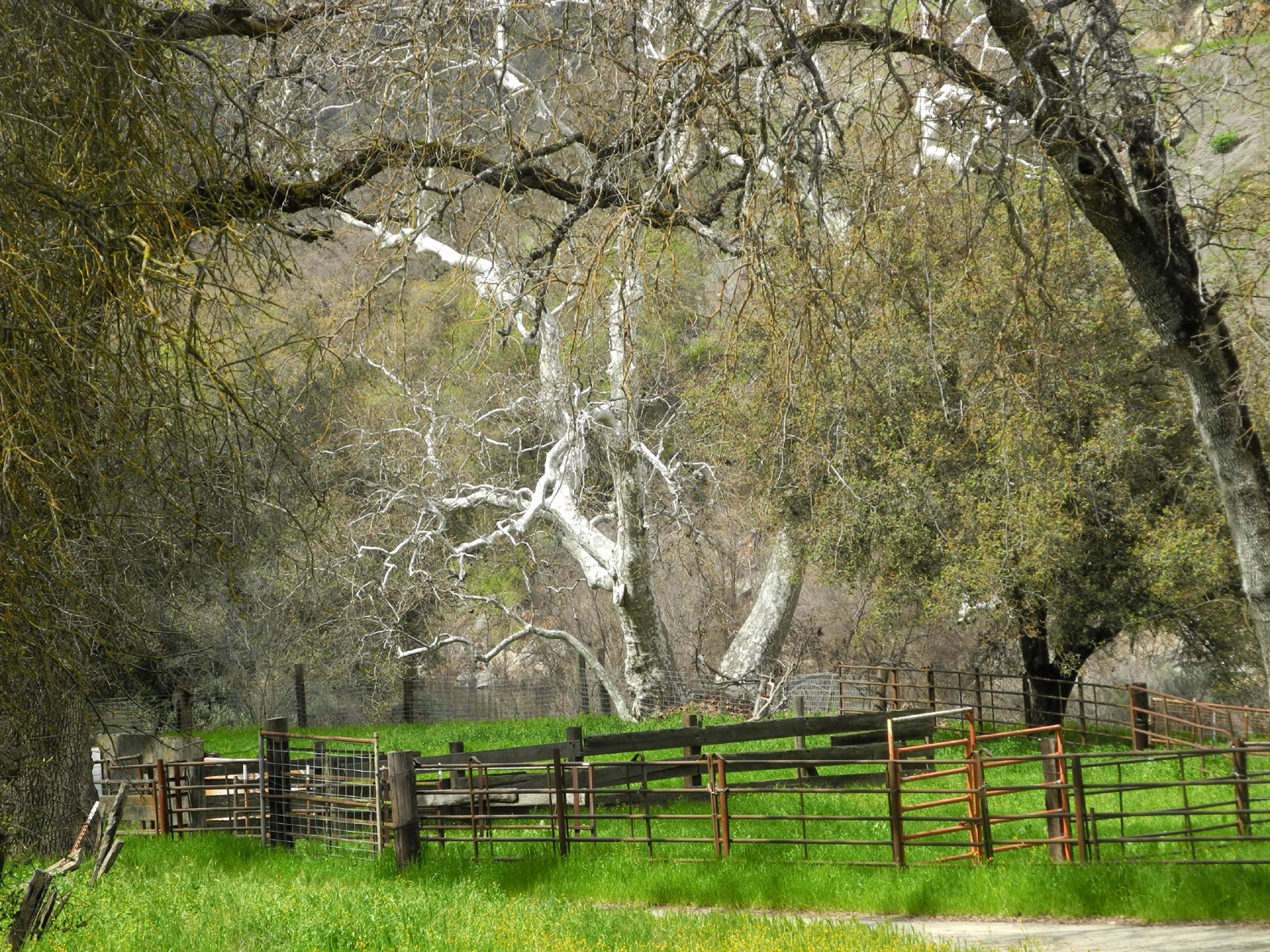
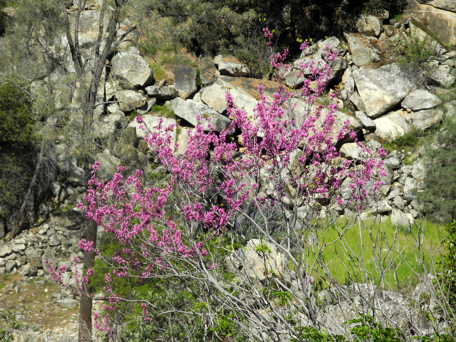
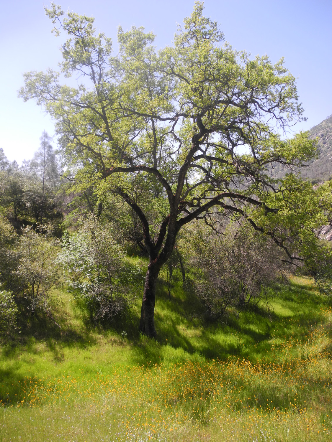
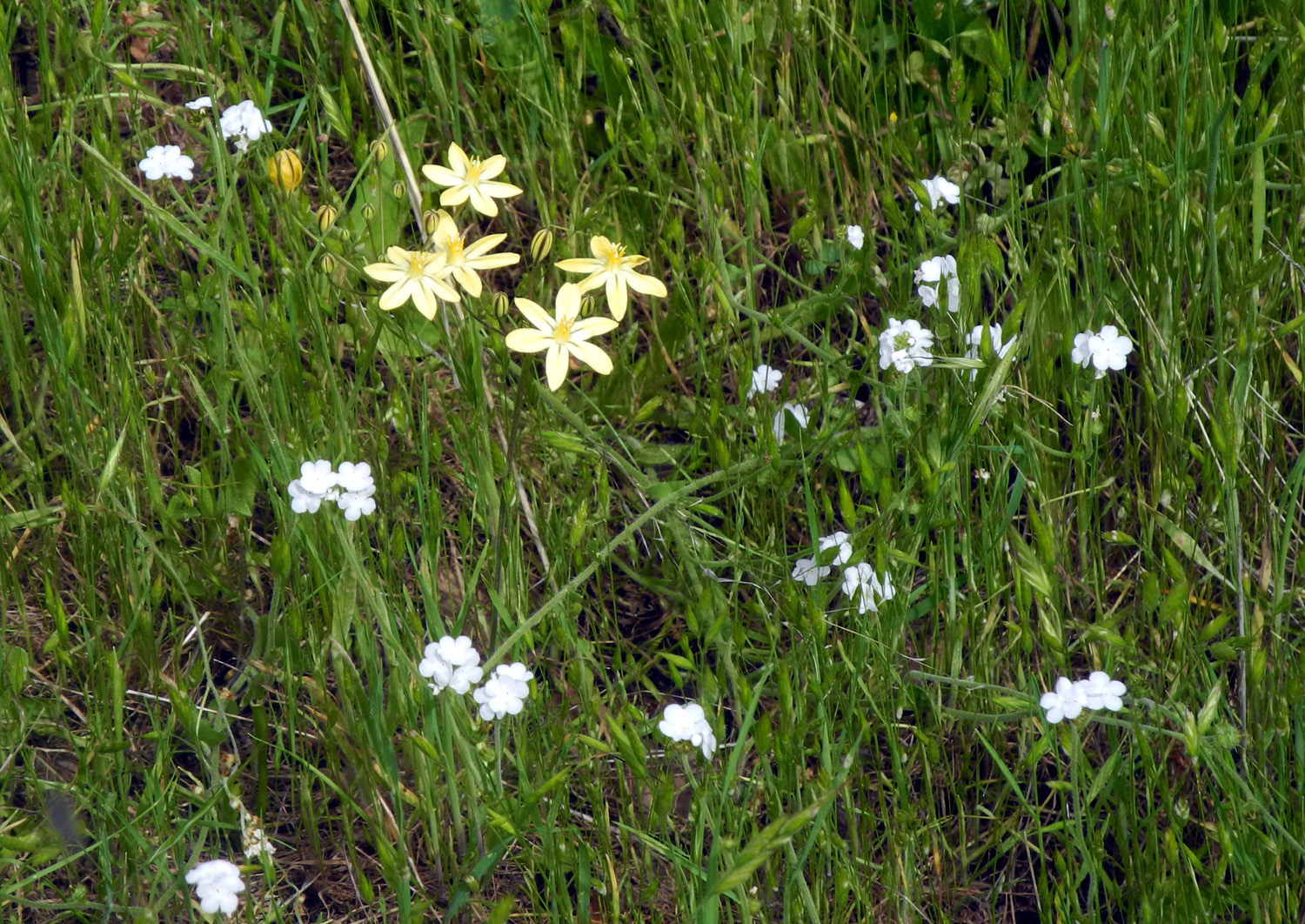
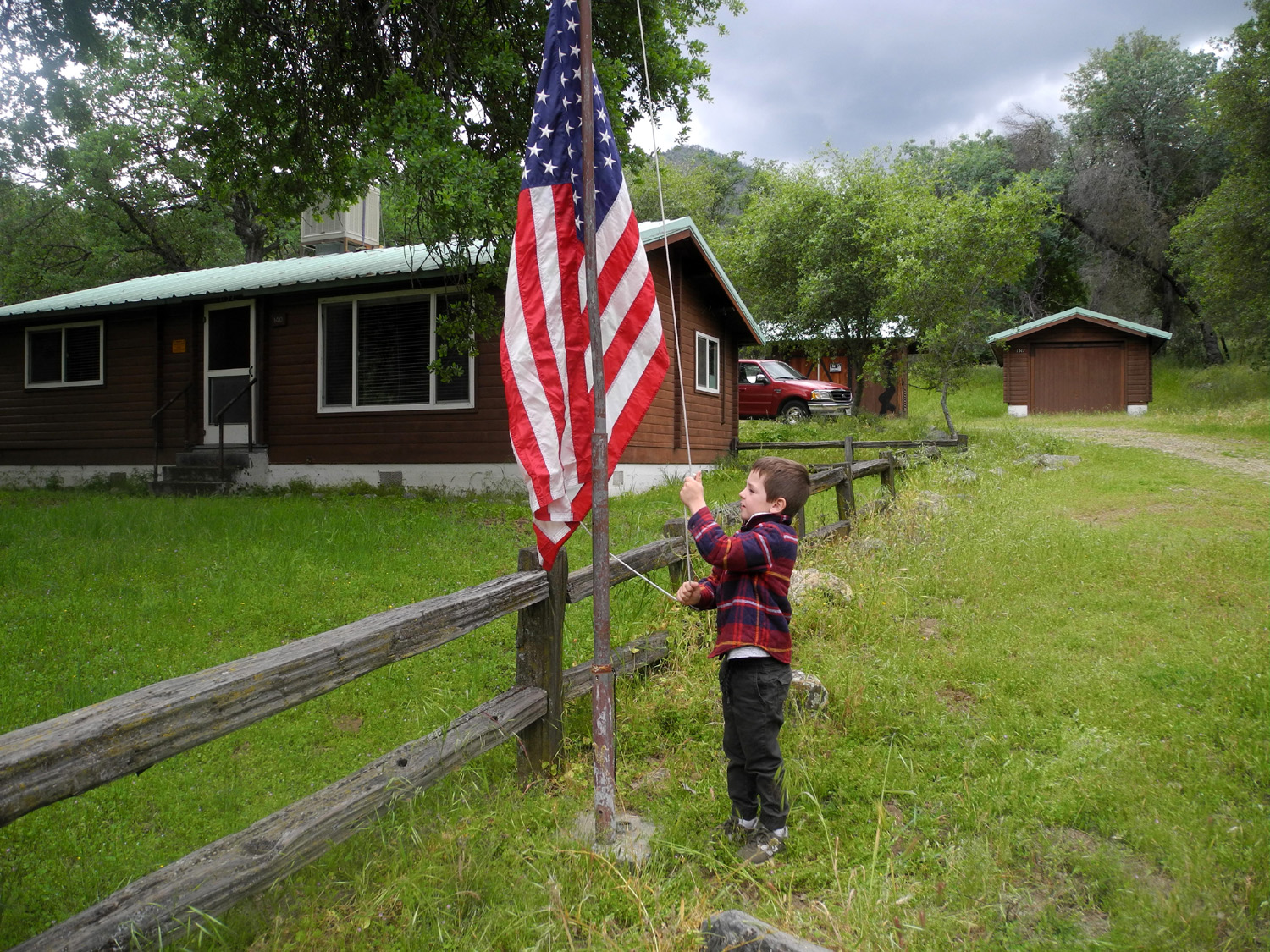
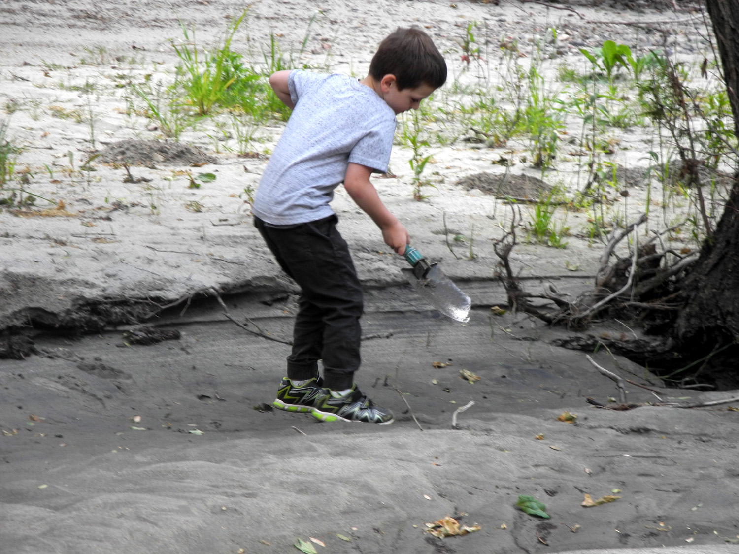
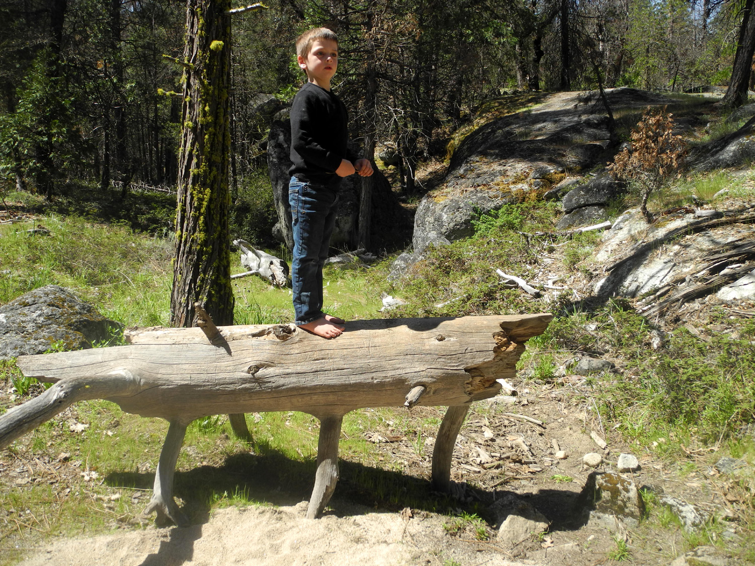
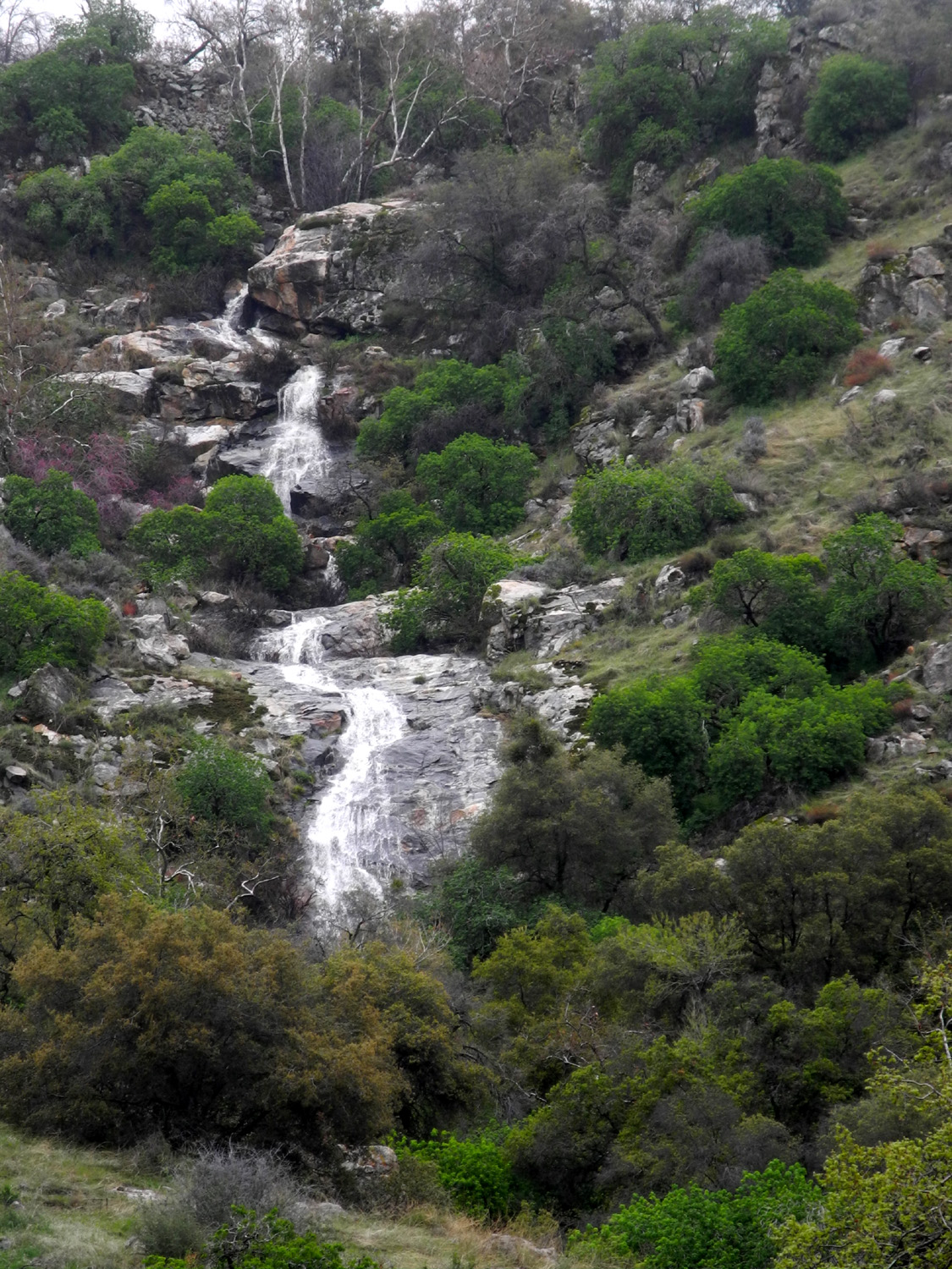
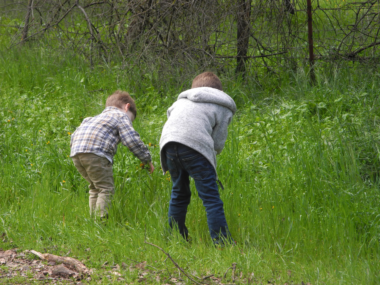
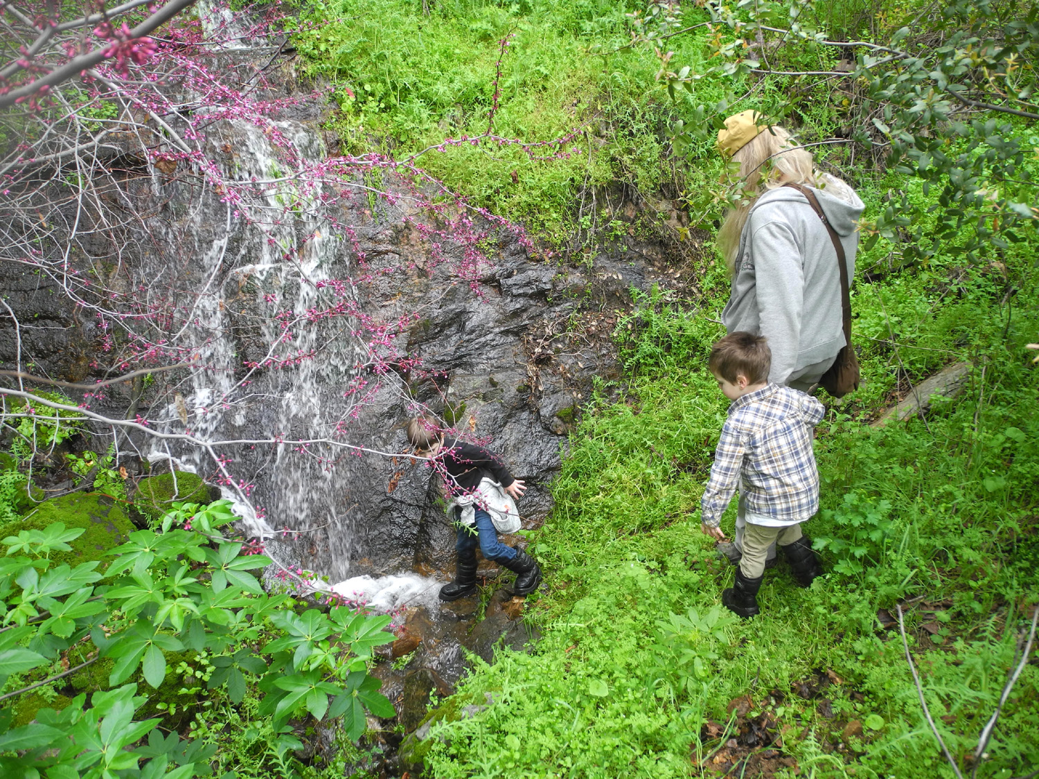
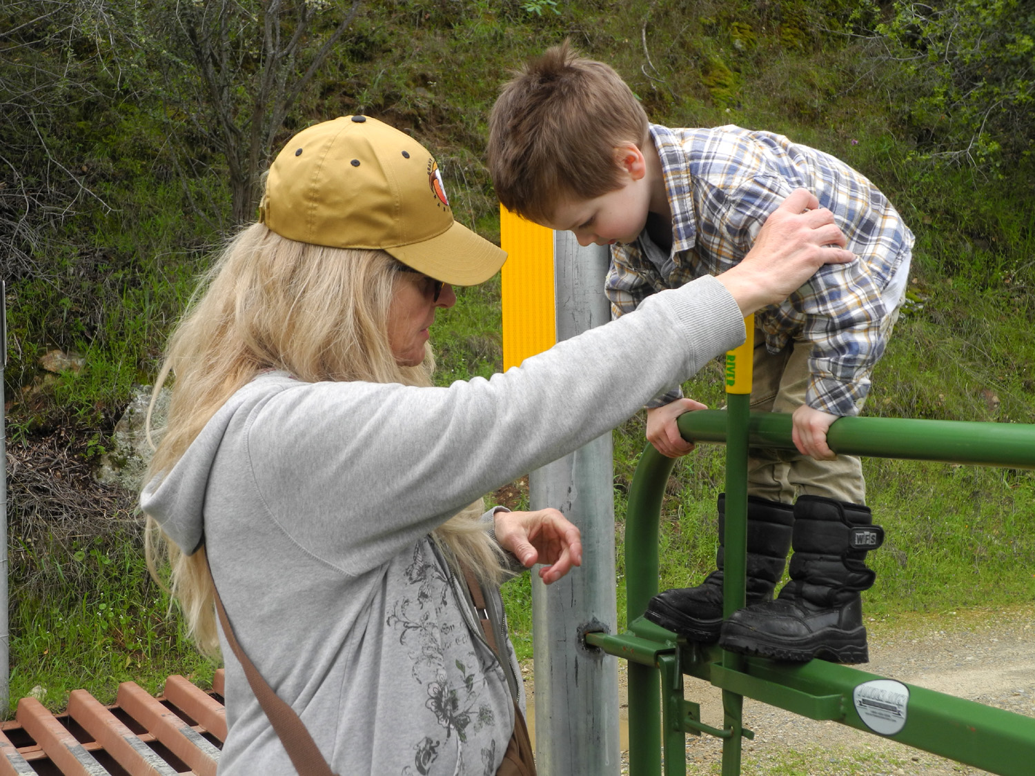
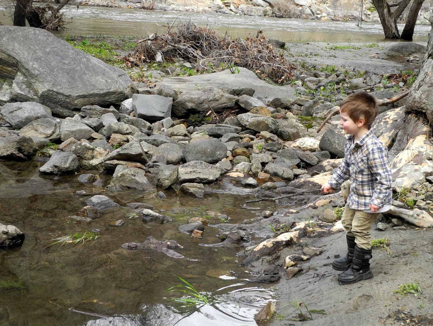
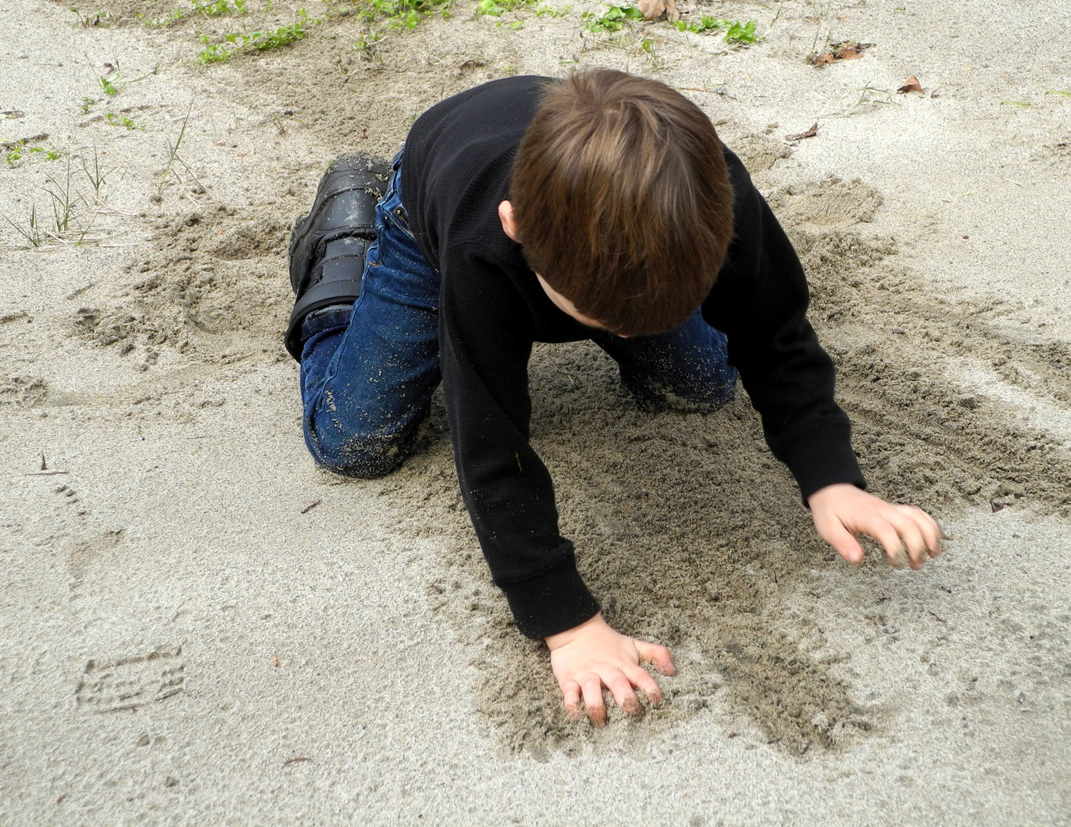
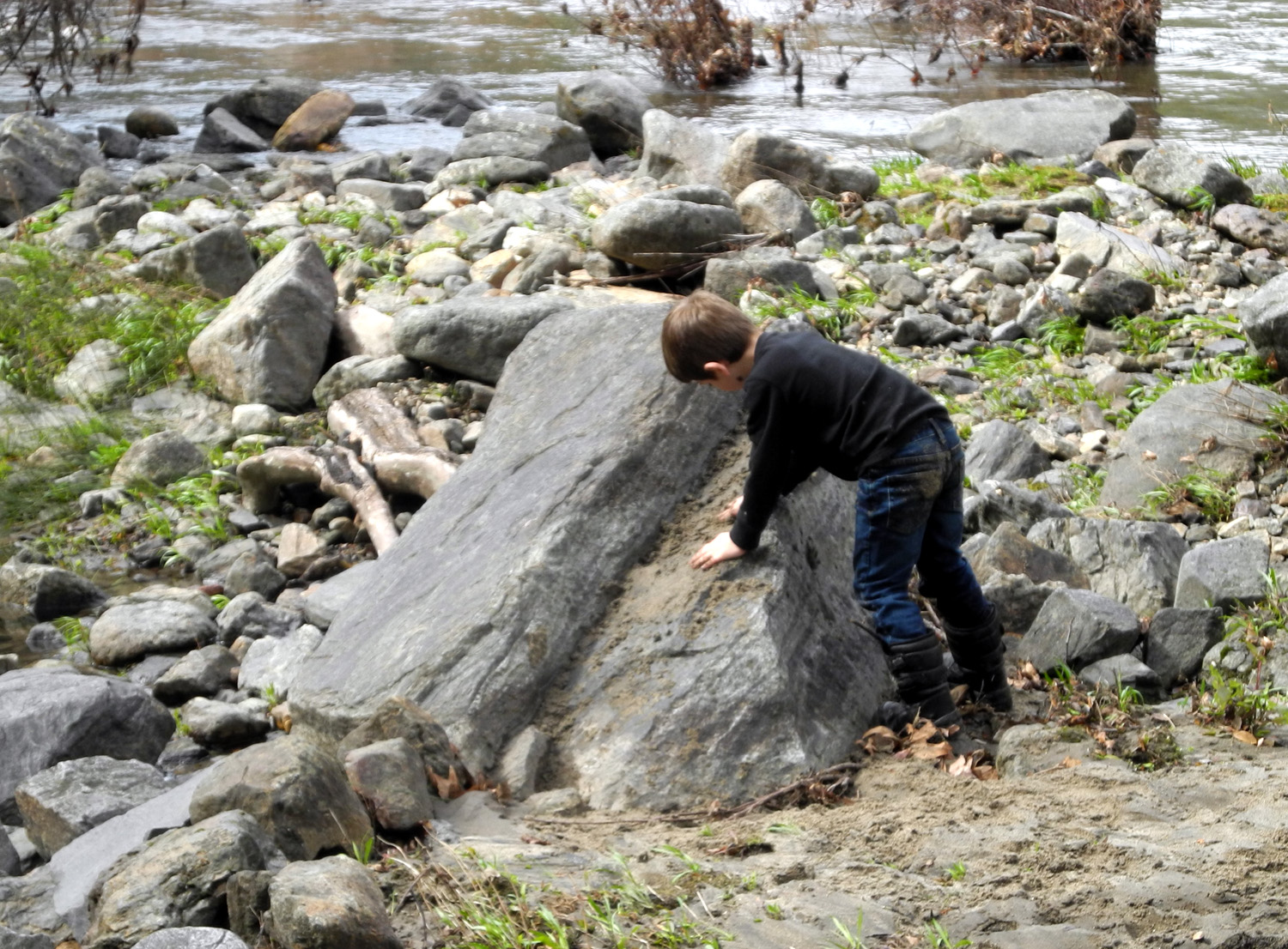
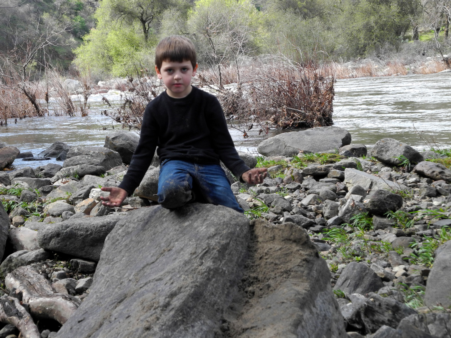
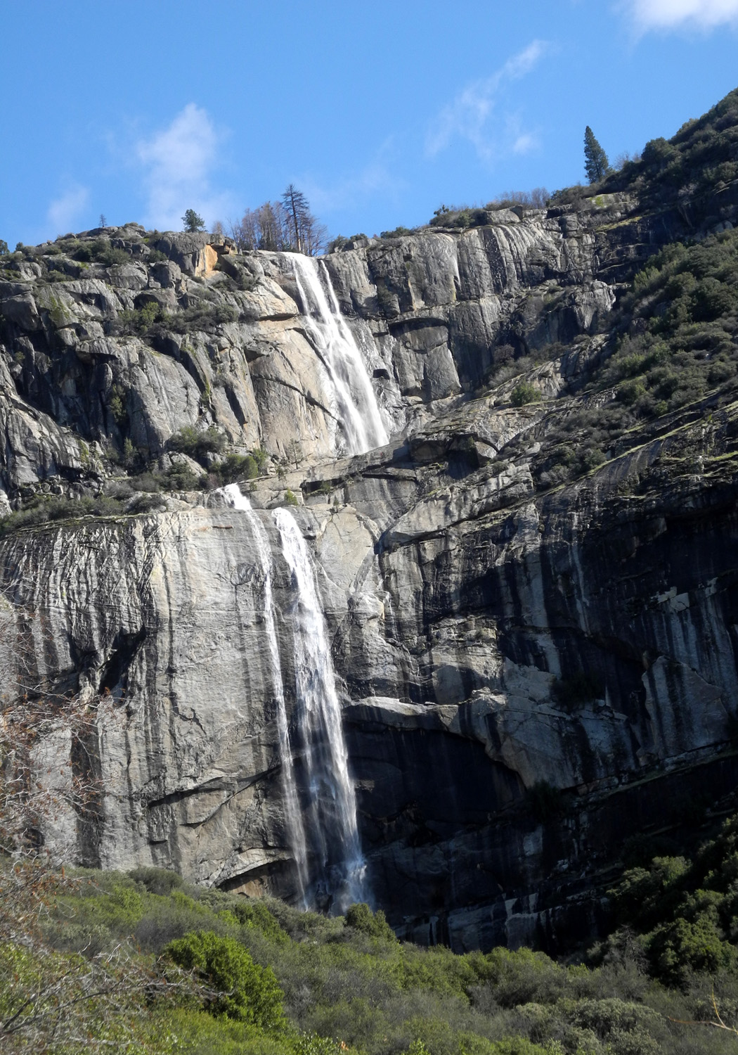
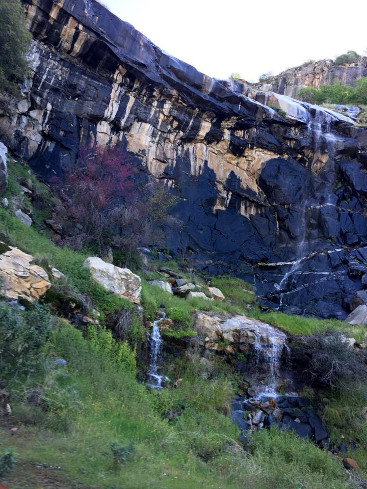
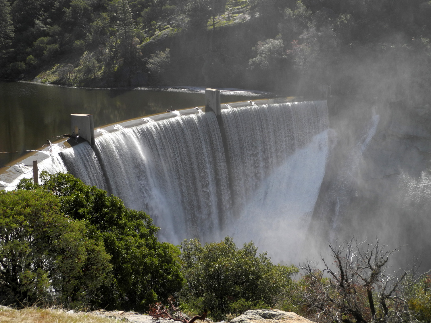
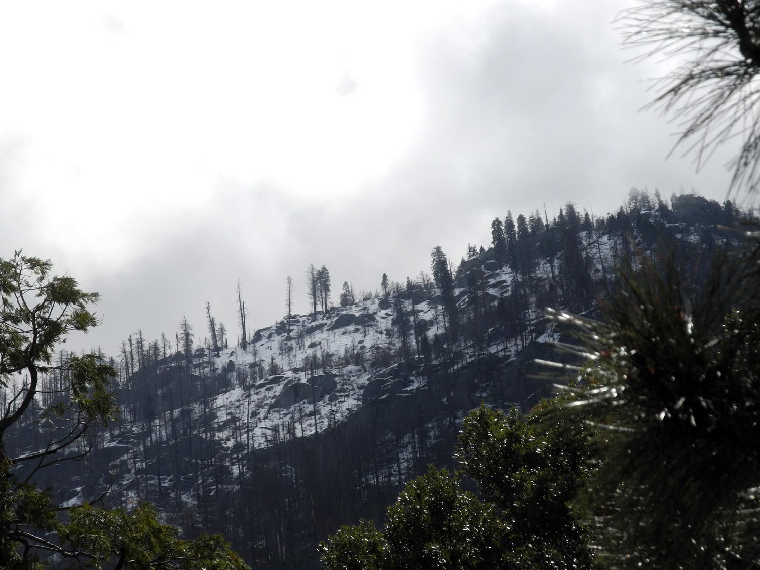
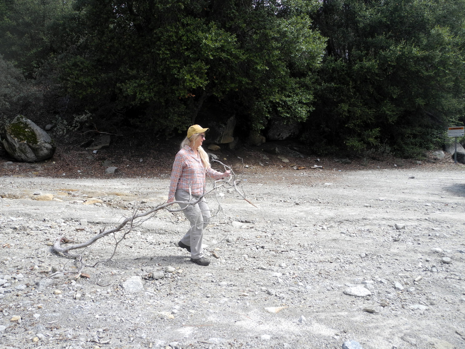
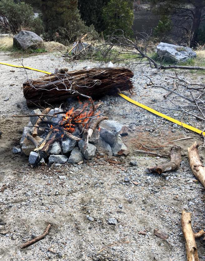
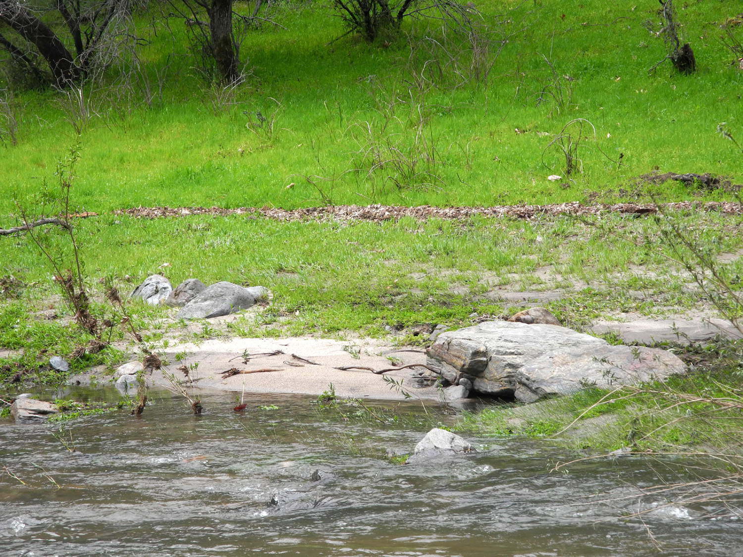
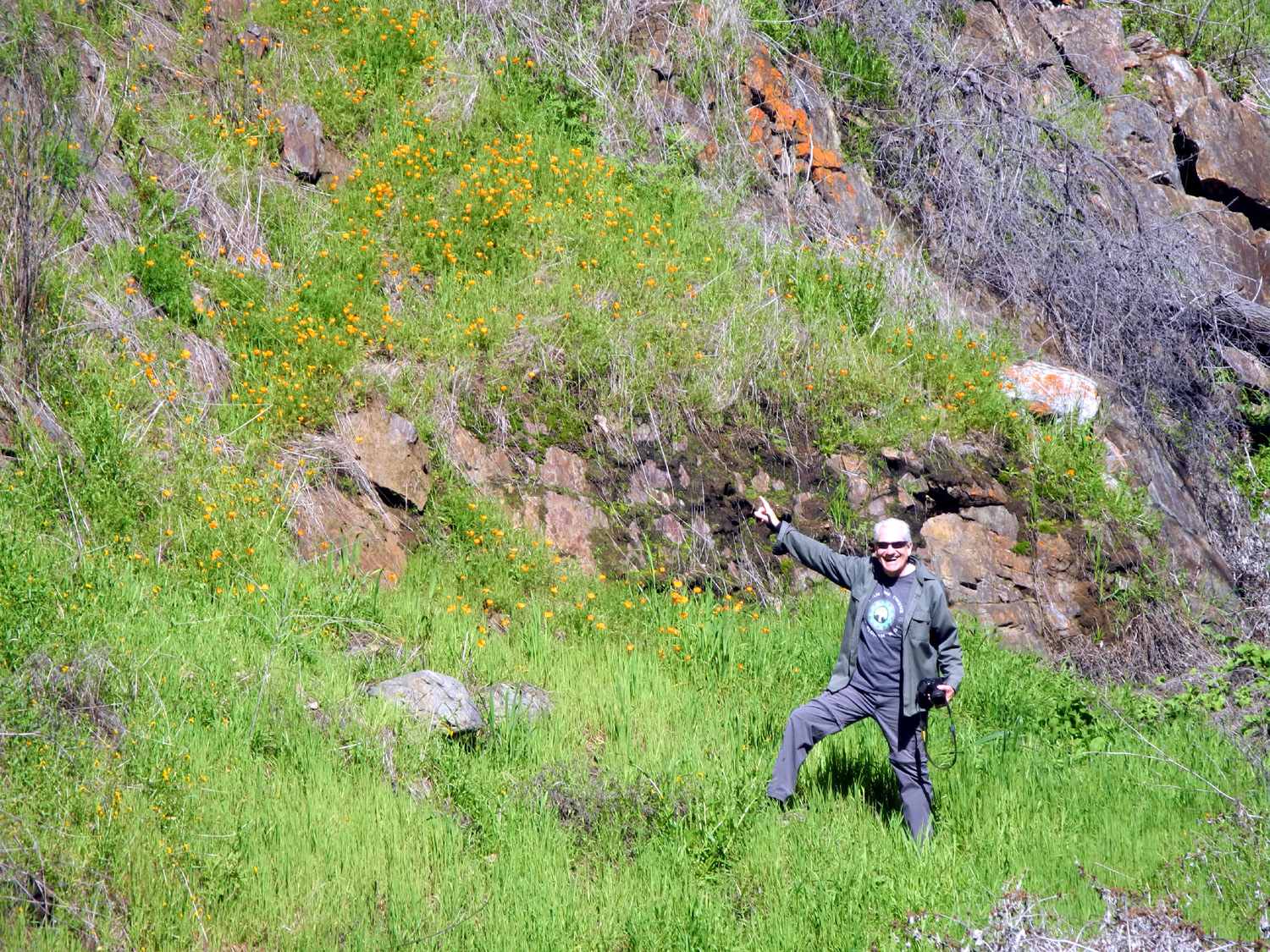
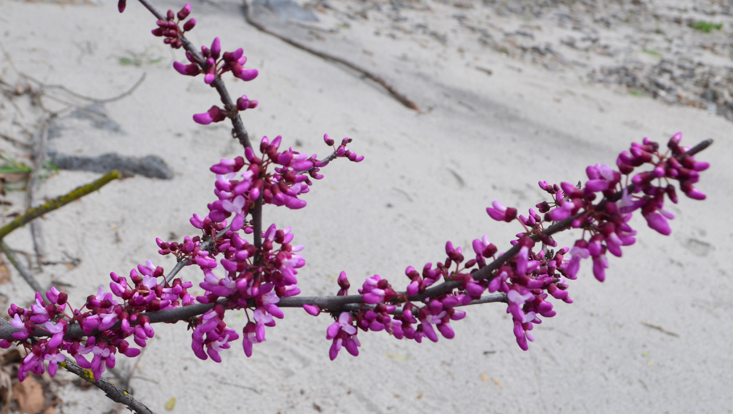
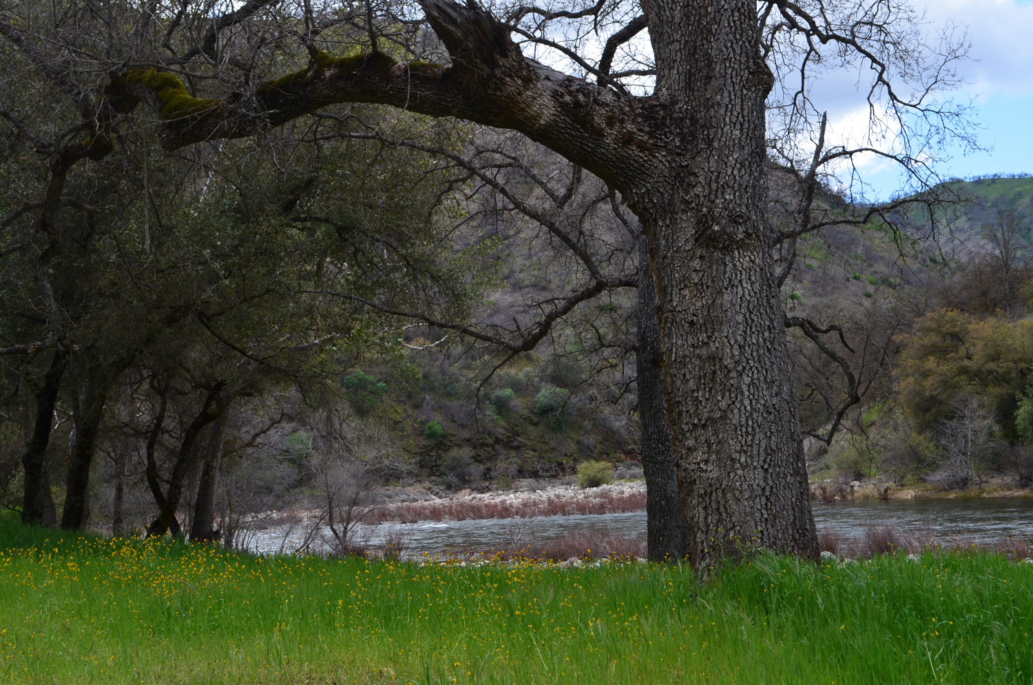
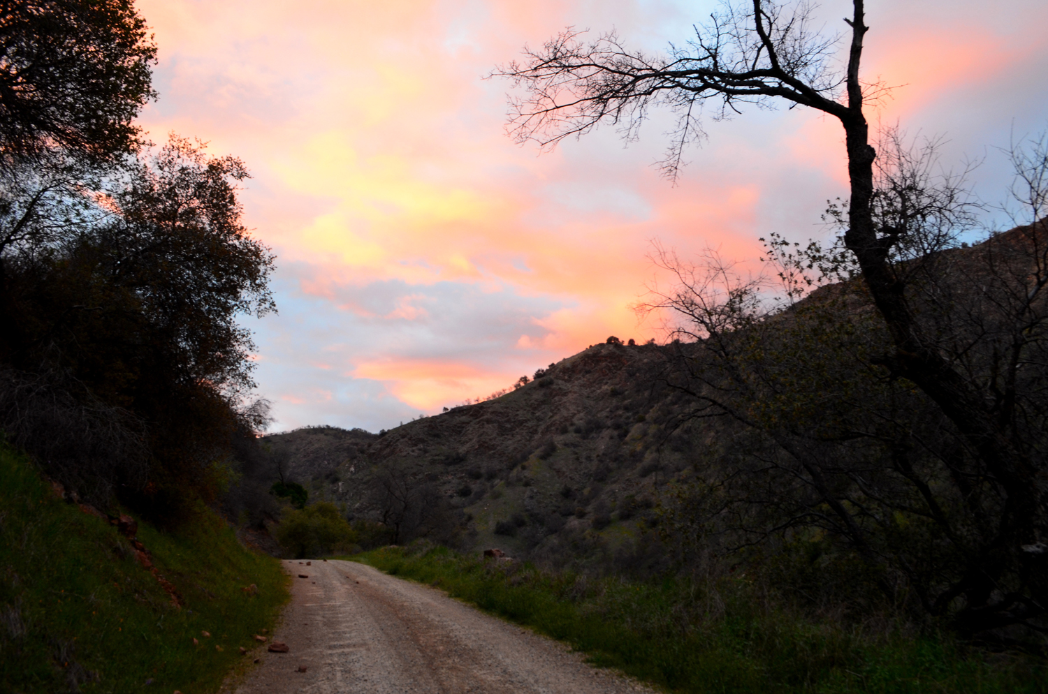
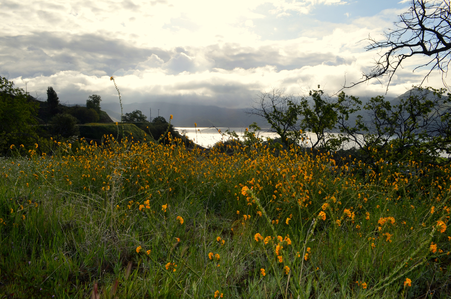
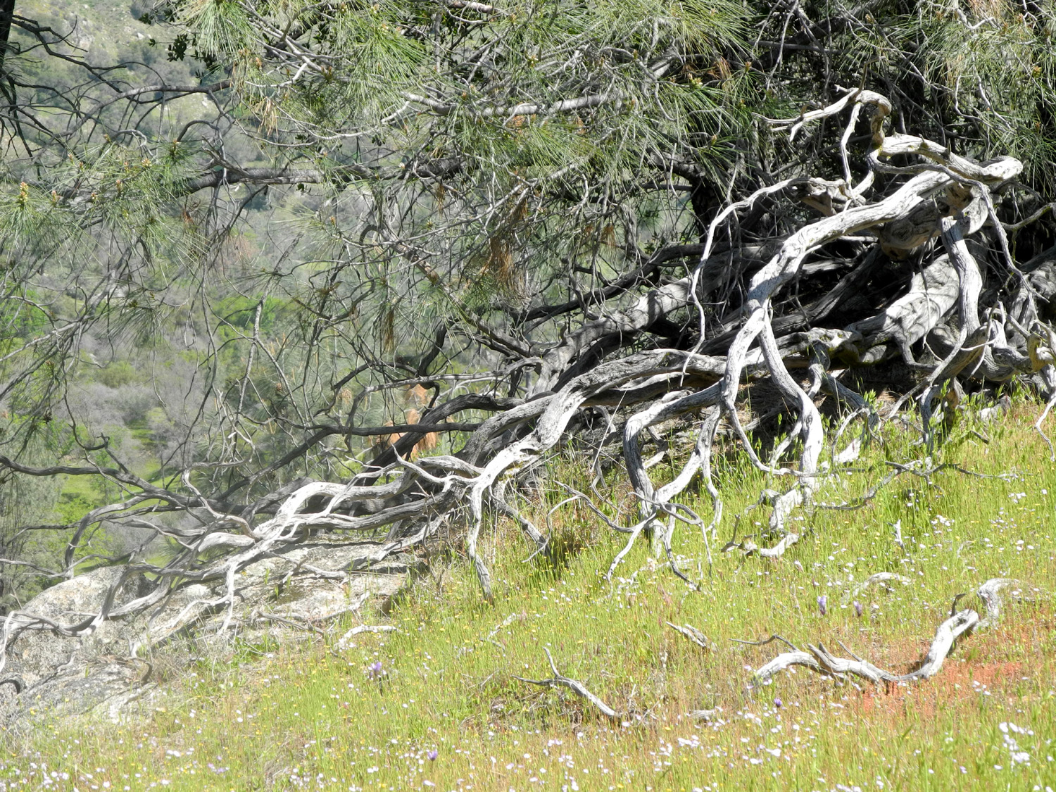
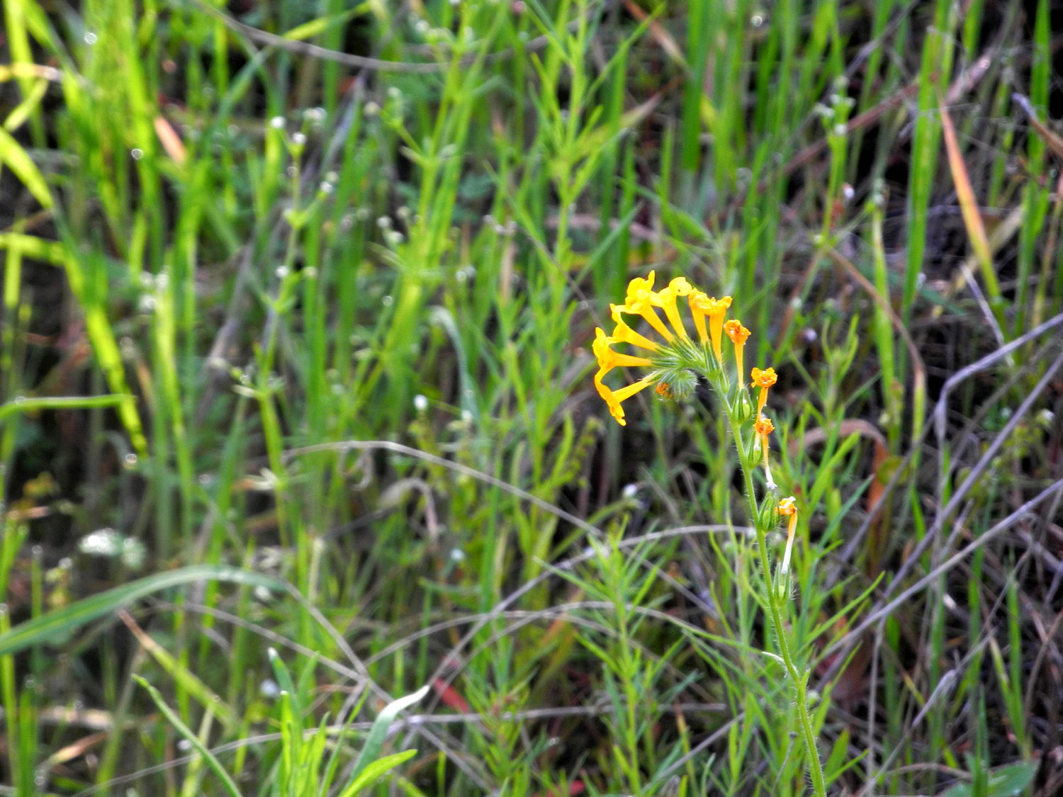
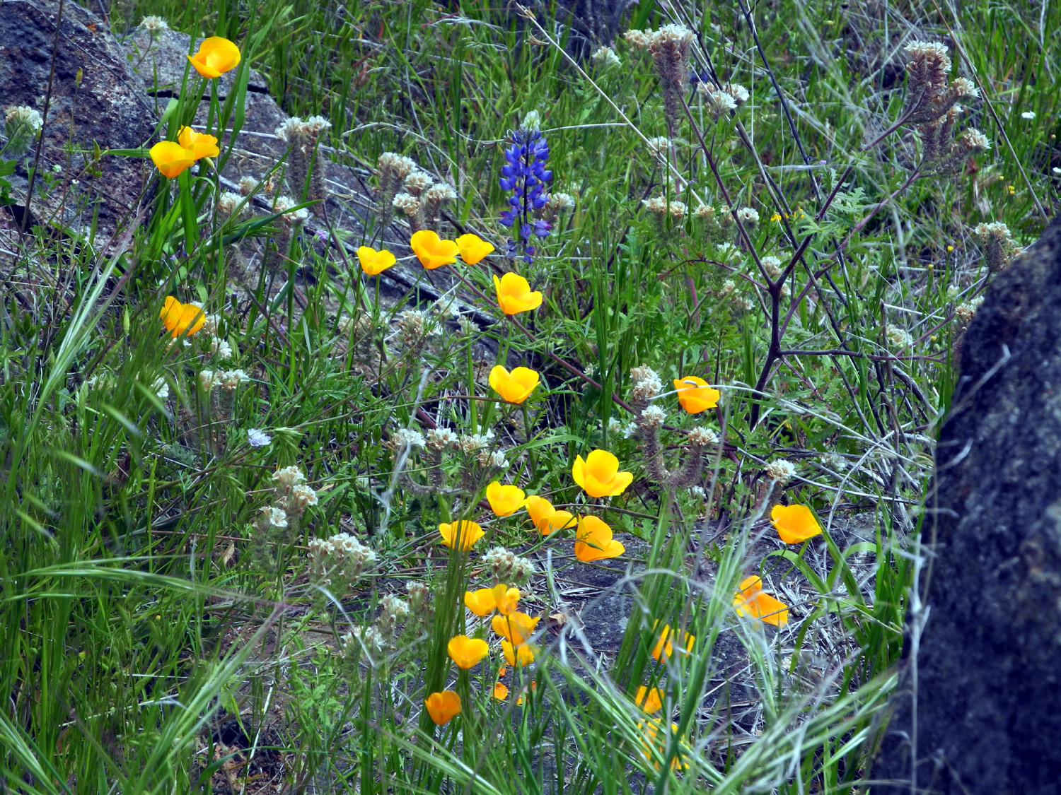
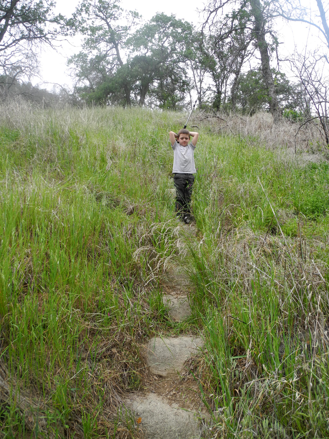
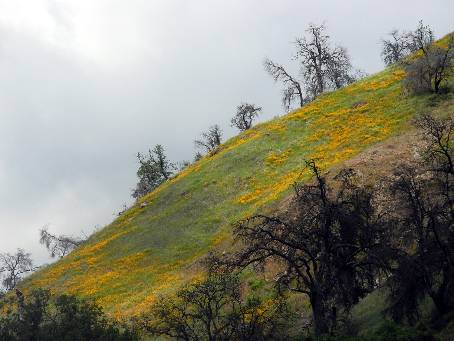
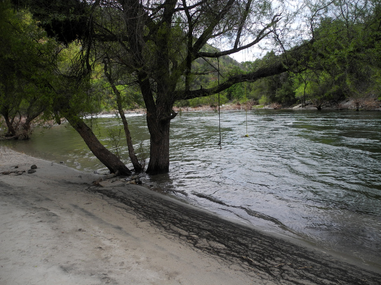
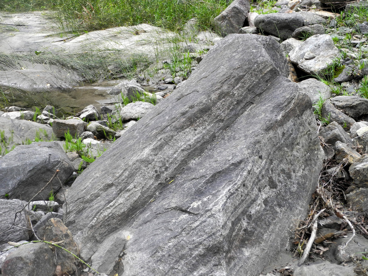
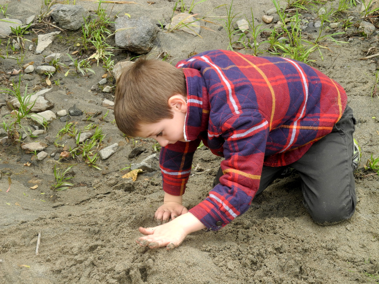
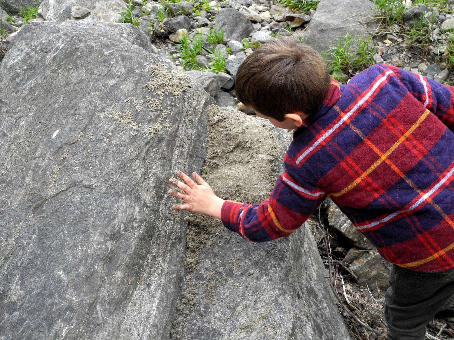
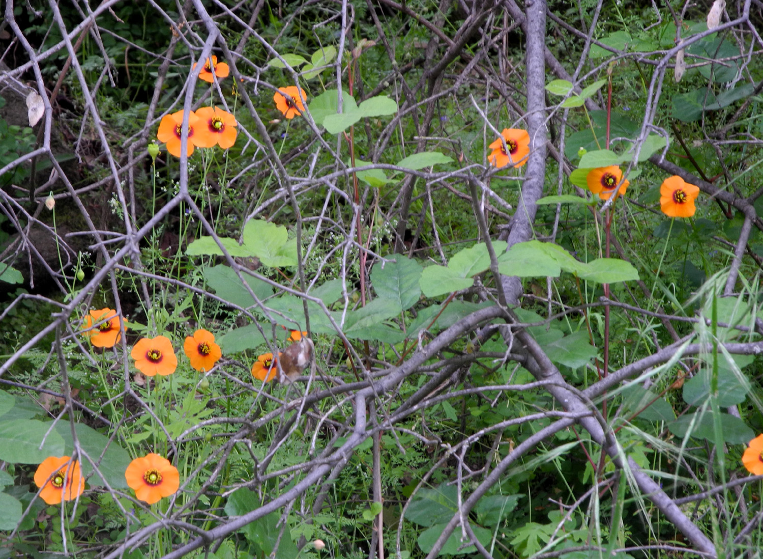
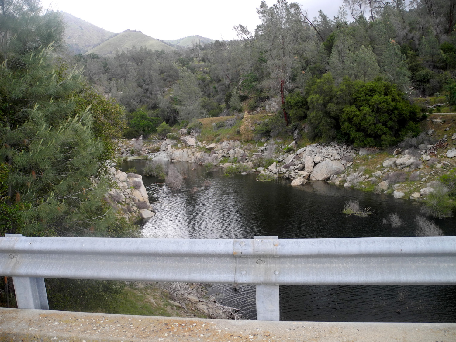
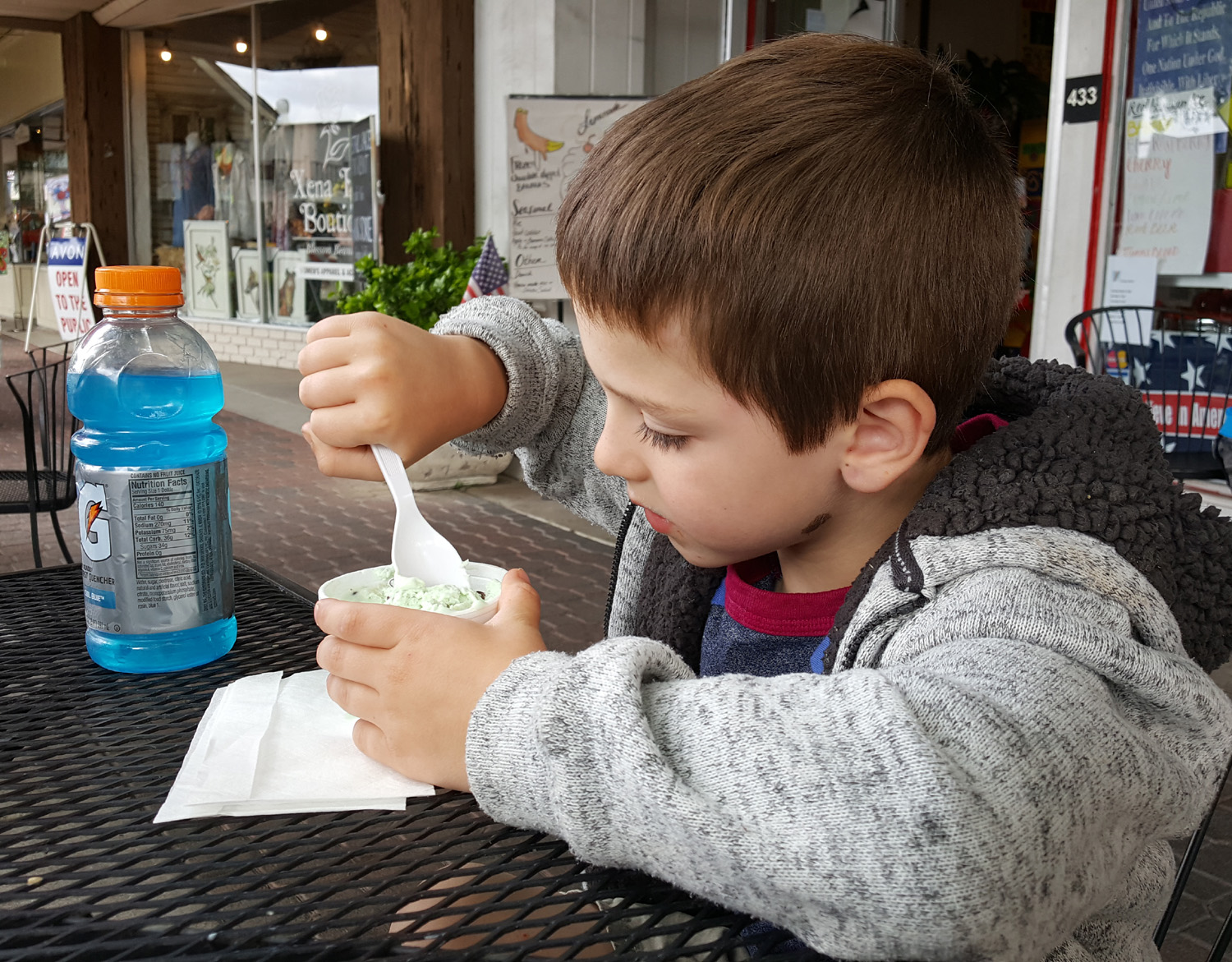
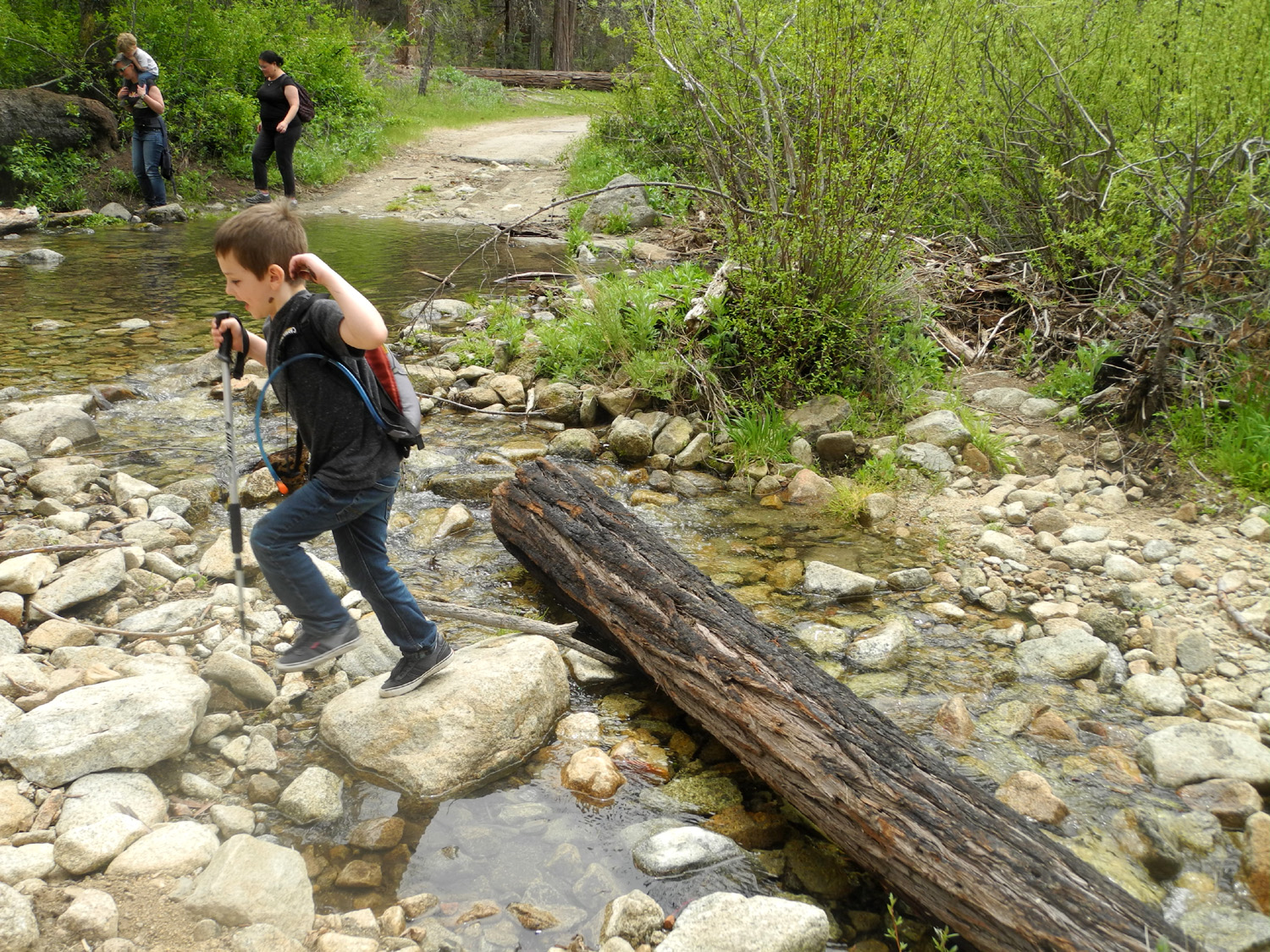
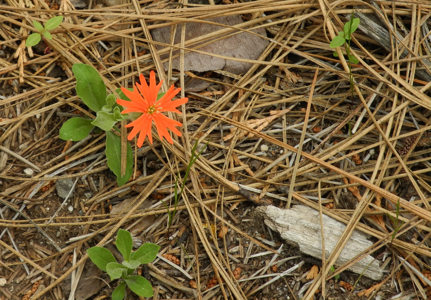
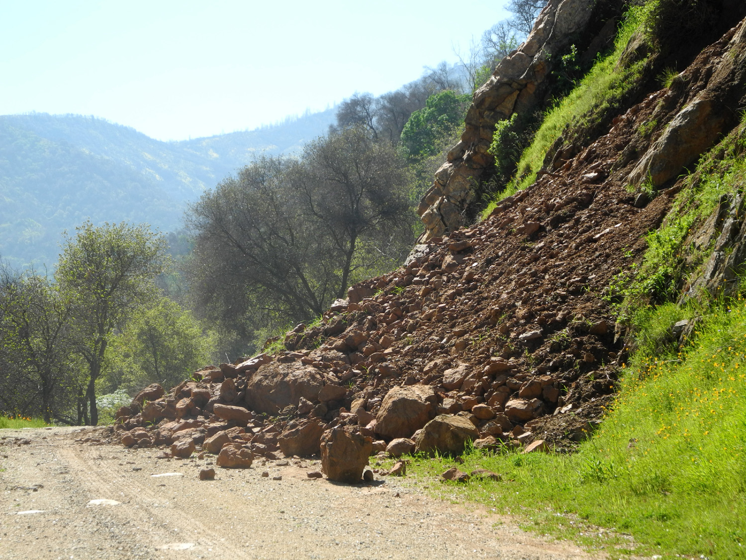
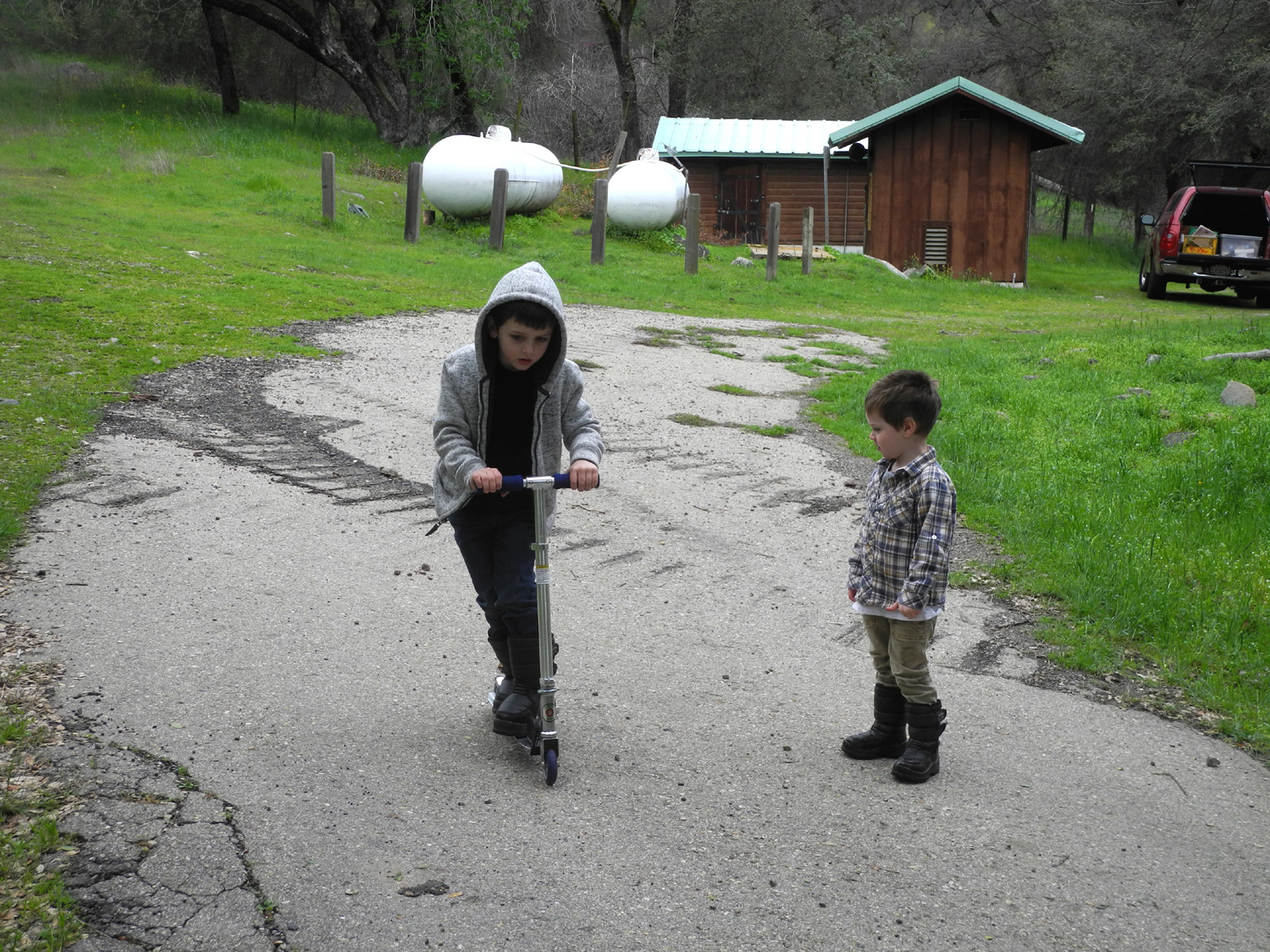
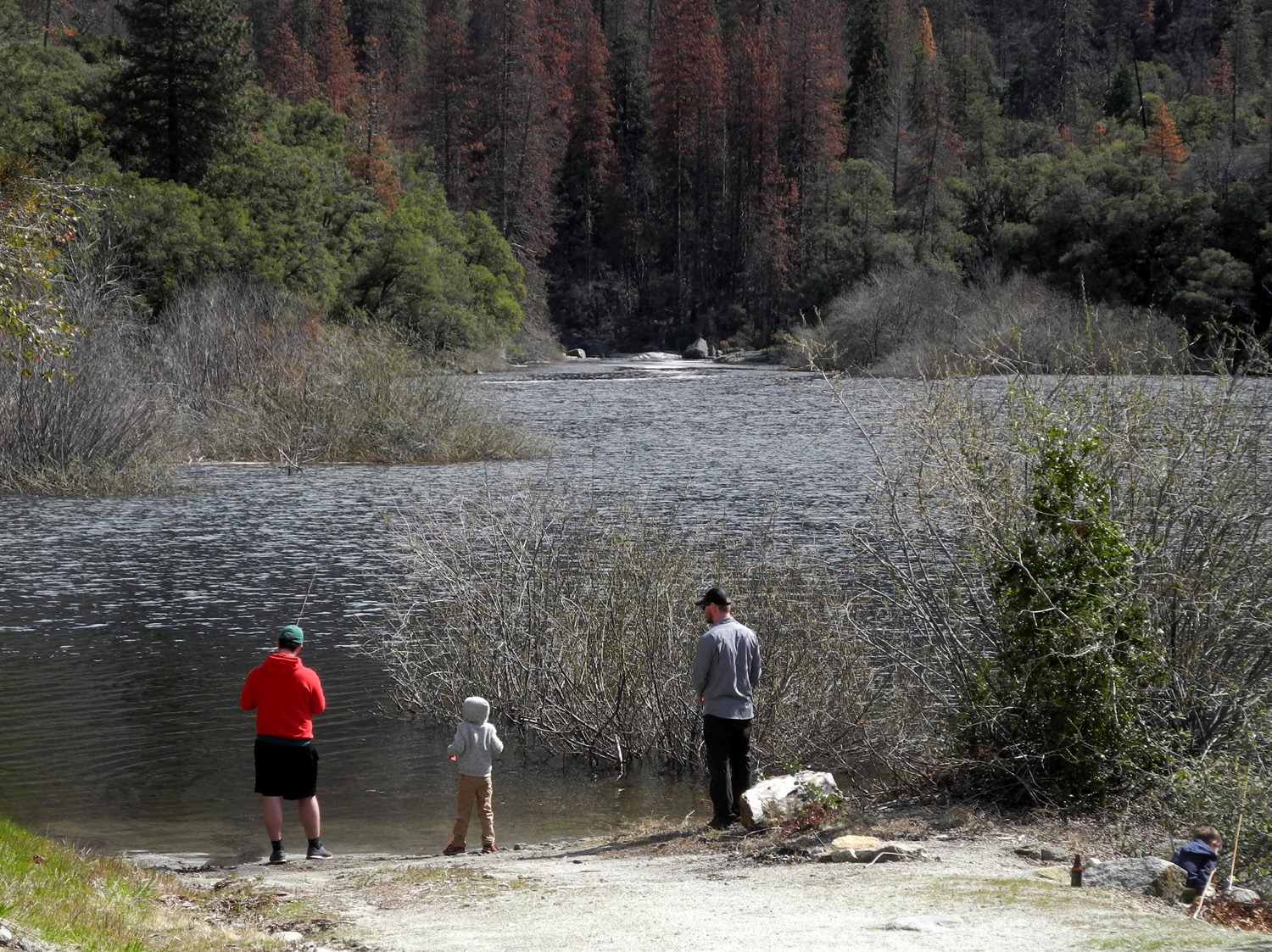
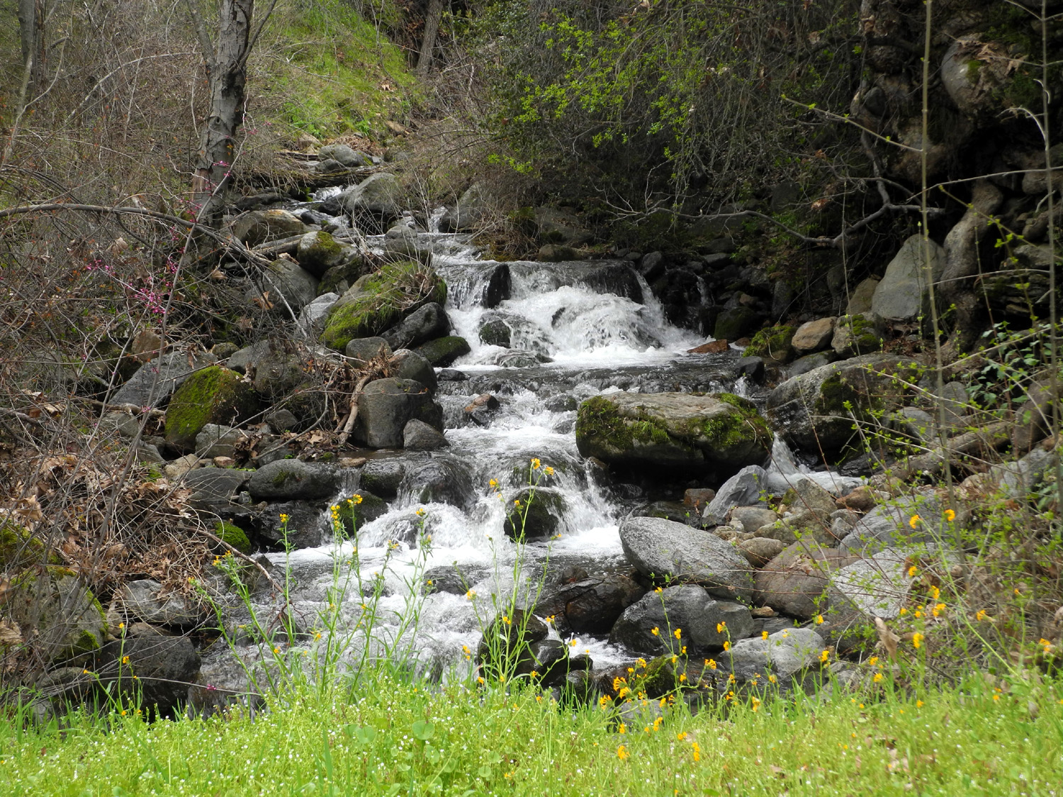
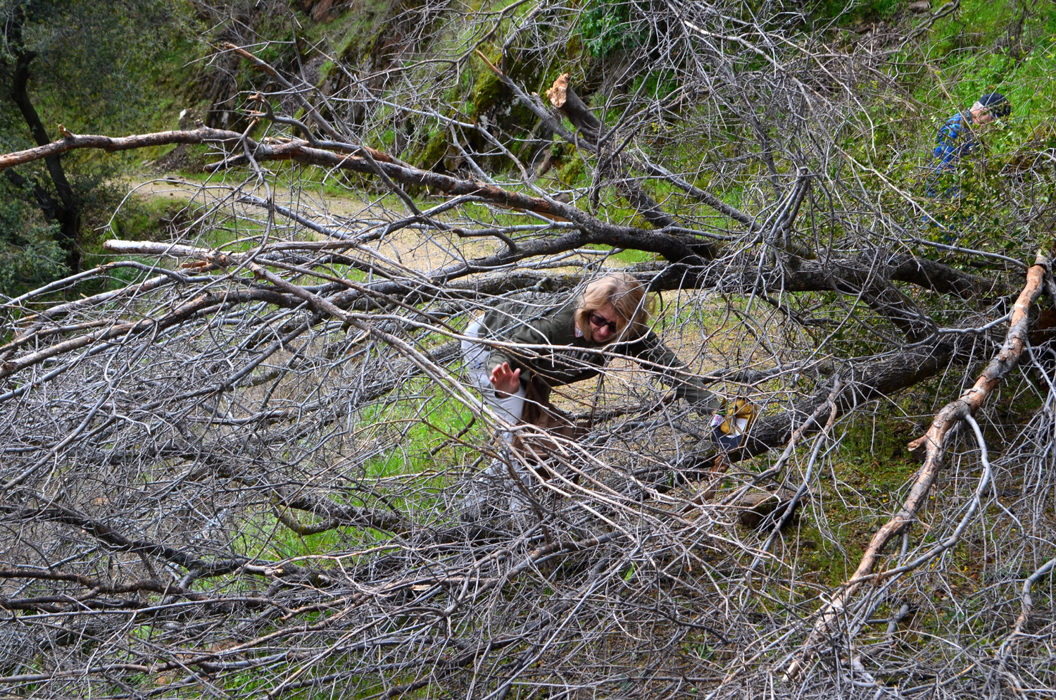
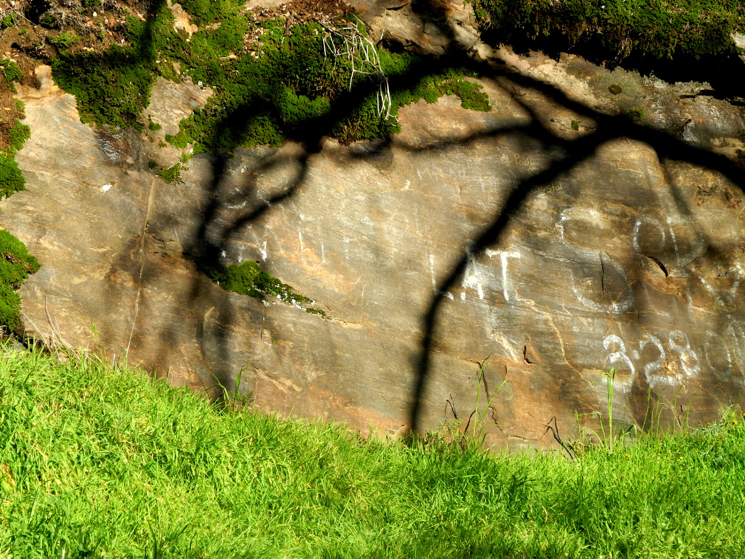
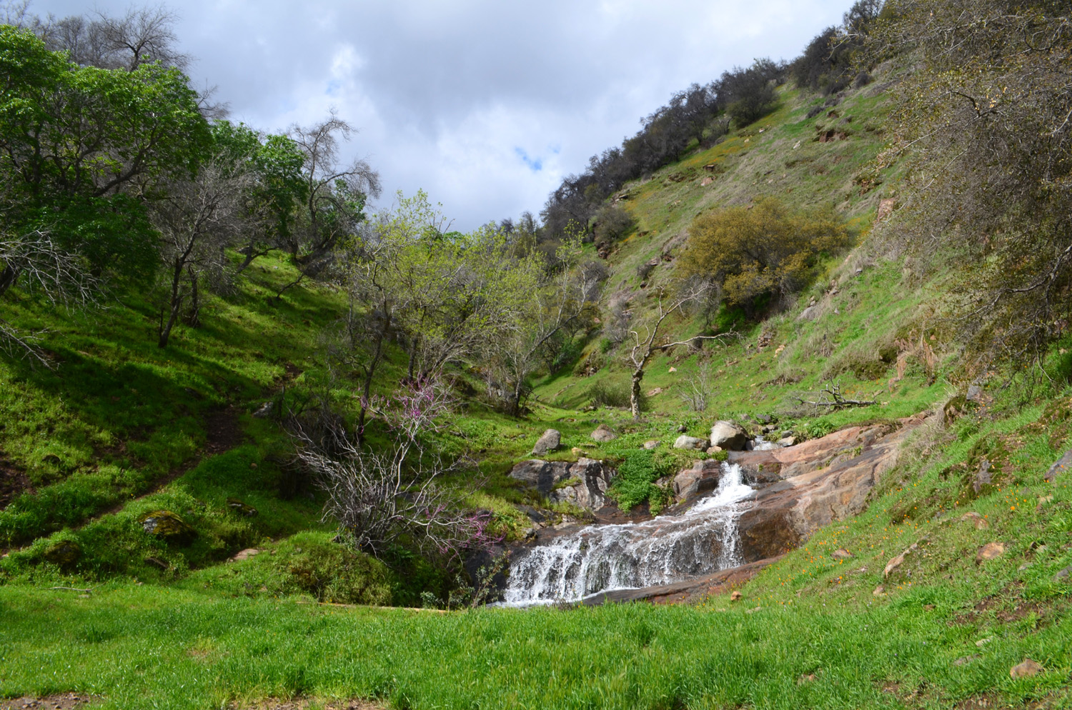
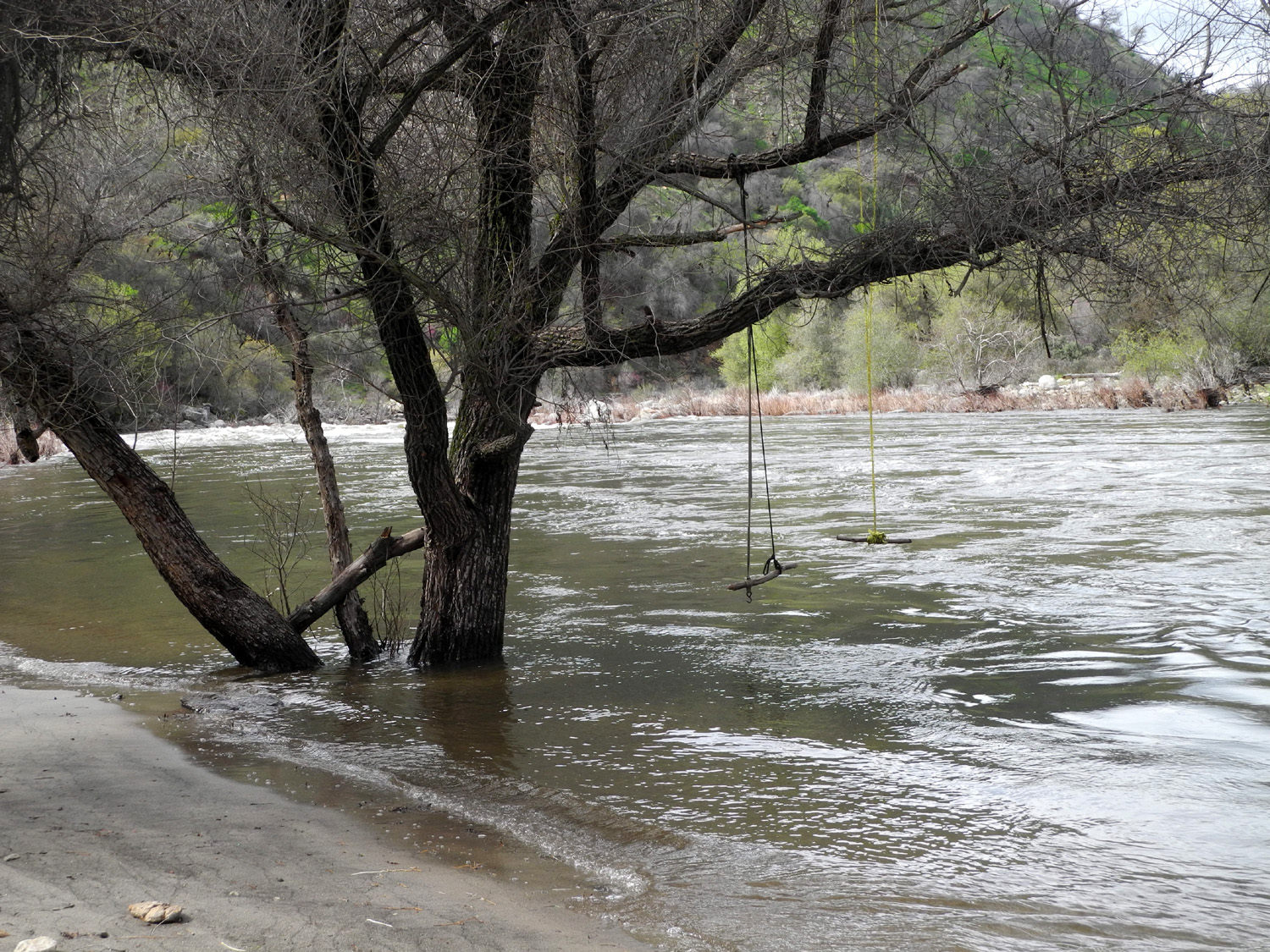
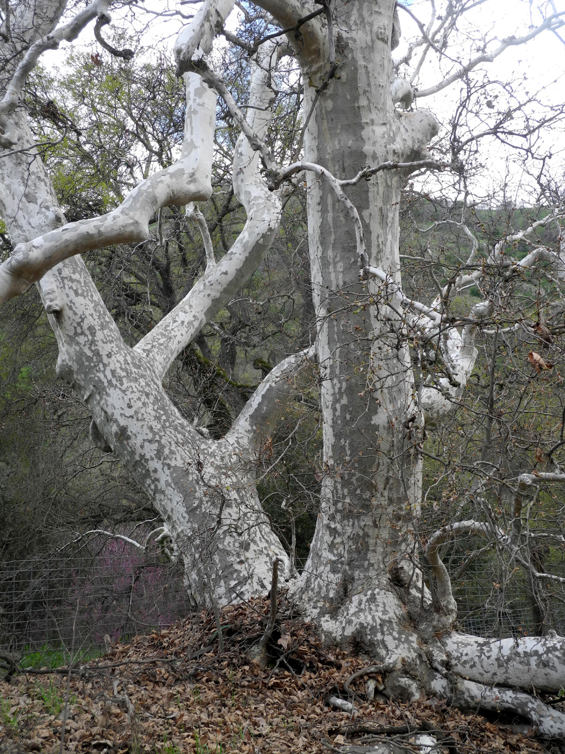
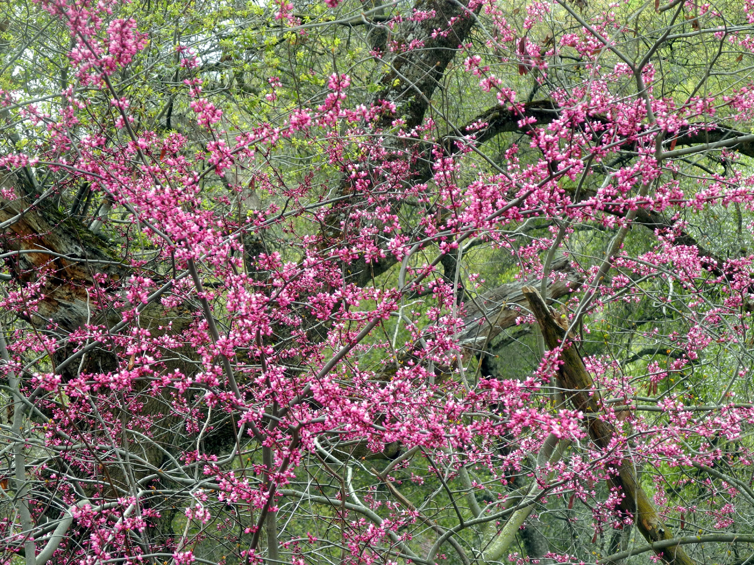
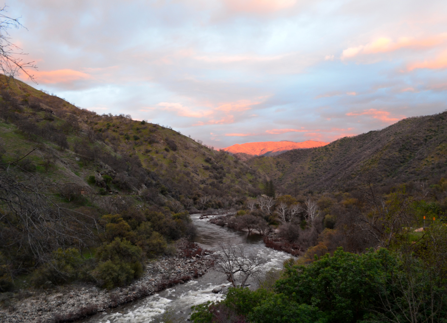
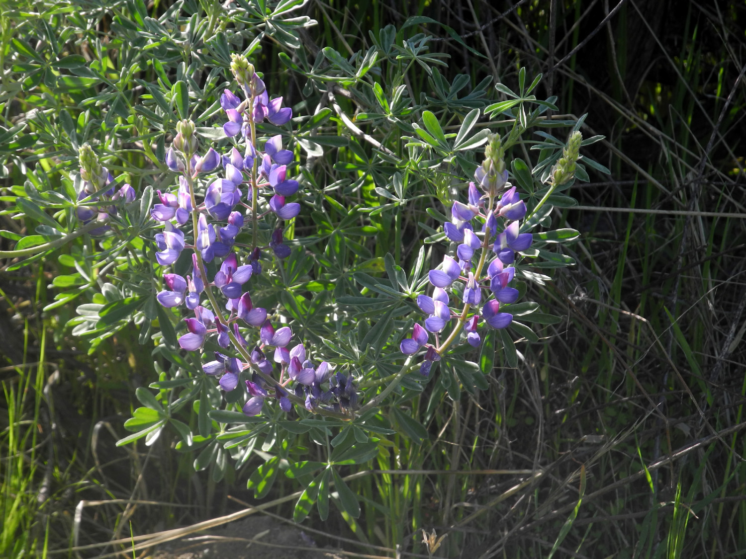
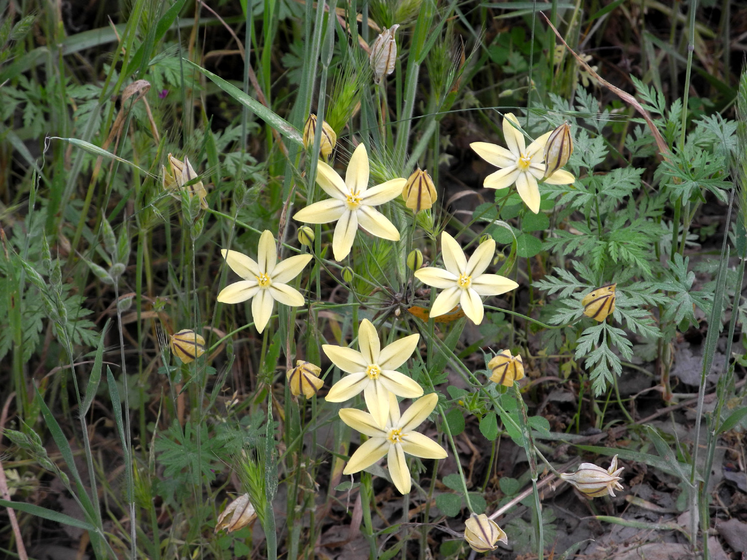
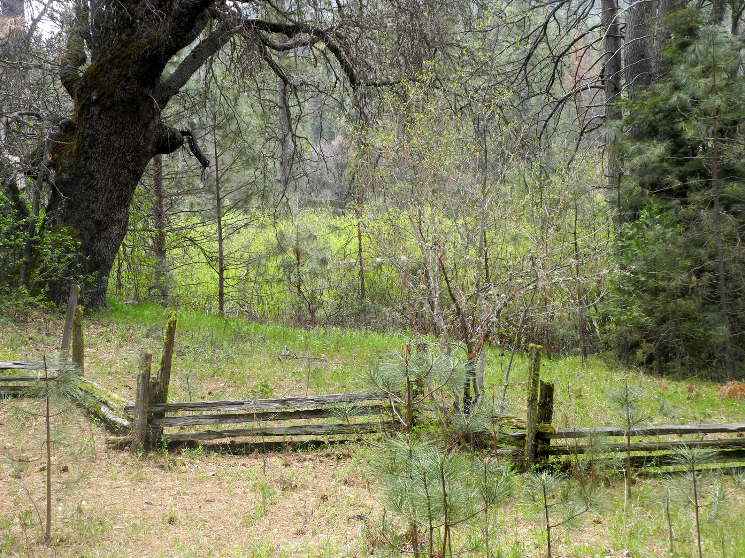
During the week before our trip, we had the heaviest rains of the season, up to five inches in an hour in some foothill areas, pretty much unheard of in Central California. To make things even more interesting, the forecast called for rain every day of our visit. However, the forecast changed each day, and we hoped for the best. I had booked this cabin last year, only to have our stay cancelled due to rock and mud slides on the road in to the location. On Friday, March 23, I drove my truck, followed by daughter Teri in her Toyota Avalon with her grandsons Colton and Jack in the back seat. Driving on Trimmer Springs Road where it climbs over Secata Ridge above Pine Flat Lake, we stopped to enjoy the view of a little waterfall that drops down from the ridge. When we got to the dirt section of the the road we had to get out and remove tree branches twice, and roll some small boulders out of the way two or three times. Other than that, we had no trouble at all, and arrived at the cabin around noon. The cabin is nicely furnished with a generator (in a shed outside), cook stove, heater, refrigerator, and hot water heater, all of which run on propane, supplied by two large tanks. The lighting system is electric, so the generator has to be on when lights are needed. Visitors must bring their own bedding and towels, and are required to sweep and mop and generally clean up before leaving. Cooking and eating utensils are provided, and there are beds for six. We brought in our things, while the boys ran around outside, picking flowers and just generally enjoying being out in the country. When I asked if they would like to return next year they said Yes, but a suggestion of living in such a location permanently was met with a big NO. (Teri said YES.) Once we had things put away it was time for a walk. The road in front of the cabin is level and paved for about 100 yards, with nice mud puddles in the dirt section at either end. Wearing snow boots, the boys approached the puddles cautiously, put a toe into the water despite directions from Teri and me to STOP, then ran full speed through the puddles. About a quarter mile back down the road there is an unusual cattle guard, painted yellow on one side and orange on the other. Colton always likes to walk across these, so we walked up the road in that direction. As it turned out, both boys were more interested in climbing on the metal gate next to it, something found in conjunction with virtually all cattle guards, in case cows need to be moved from one field to another. Colton also stepped off the road down a steep bank to a creek, joined by Teri and Jack. Along the road we found a dead salamander, which the boys studied for some time, turning it over with the sticks they inevitably pick up while walking in the country. Finally Jack picked it up by the tail, drawing an "Eewwww" from Colton. Heading back toward the cabin, we were distracted by a gate through the fence on the north side of the road, and went down to the river by that route. This was followed by a half hour of boys playing in the wet sand, trying to get into a little section of still water that was cut off from the main stream, and the obligatory throwing of rocks into the water. Colton carried handfuls of sand to a slanted rock and "painted" the entire rock with it, finishing up with a little wall of wet send at the top. He also picked up a stick in his mouth like a dog and carried it around. Jack sampled a dried sycamore leaf, and both boys put miner's lettuce leaves into their mouths, although they did not actually bite into them or swallow anything. The adults comforted ourselves with the thought that it was helping them build up immunities. Most of the rest of our party was expected to arrive around 7 p.m., so the rest of the day was occupied with getting our stuff put away, playing inside and out, and preparation for supper. Teri put charcoal into the grill provided on the back patio, and began cooking tri-tip. At one point we were entertained by a squirrel which I spotted under my pickup. The boys approached to try to drive him out, but he moved close to a tire, making him hard to see. After a few back and forth moves, he ran down the driveway and went under Teri's car, then disappeared. Because of the doubtful weather, we had brought books, games and cards, and found some of the same already provided in the cabin, just in case we had to spend a lot of time inside. As it turned out, Teri spent about five minutes attempting to get past the first page of a book that Colton loves, but there were too many other things to do, and none of the emergency entertainment items were needed. Since the cabin is a U.S. Government property, a flag is provided, along with instructions to fly it proudly during good weather. Colton and I took the flag out to the pole by the front fence, and he enjoyed pulling the rope to raise it. By now the little guys were anxious for their parents and uncle to arrive. Grandson Mike arrived about 6:30 and brought in his sleeping bag. The tri-tip was ready, and while we were eating, Johnny and Brittany drove up. They had eaten on the way but had a few bites of tri-tip while we debated having a camp fire. The final vote was yes so Johnny fired up his chain saw and cut up some fallen branches. With all the rain I was concerned that we would not find any dry wood, but he chose limbs that were leaning against other trees, so they had drained nicely and we had a great evening out by the fire. As the hour grew late, people started heading in to bed one by one, or in the case of the boys, falling asleep on mom or dad's lap. Jack was the first to go, but Colton held out till 9:30 or so, later than his Grandma Teri. I went in about 10, leaving Johnny to keep watch on the fire a little longer. The next morning we were treated to an Upshaw breakfast. Johnny brought his electric griddle and cooked bacon and sausage. I had mixed cocoa powder and sugar in advance and made hot cocoa, and we had our choice of toast or English muffins. After everyone was well fed and the dishes were washed, we set off on our major adventure of the weekend - a drive to Black Rock Reservoir, about 15 miles up the North Fork of the Kings River. With my Ford pickup and the Upshaws' 4-wheel drive Toyota Tacoma, we drove back to the paved road, then along the North Fork for several miles to Balch Camp, location of a PG&E powerhouse and private residential area. Dinkey Creek runs in from the north here, while the river takes a turn to he east. The road winds up steeply from the town, then along the upper part of the deep and narrow North Fork canyon. Some people find the road a bit disconcerting, especially where you can look from your car almost straight down several hundred feet to the bottom of the canyon. Much of the first half of the road has steep cliffs to the left, with water running down small falls and dripping out of the rocks. Johnny and Brittany had to close their sun roof because of water getting into the truck. Along the way the road passes below Patterson Bluffs, a wide granite face that has very nice waterfall, which drops several hundred feet in two main parts. The creek crosses the road and tumbles on down the canyon to the river. Ten miles from Balch Camp a two-mile dirt road goes in to Black Rock Reservoir, a small PG&E hydro project with a beautiful lake, with water plunging over the top of the dam in a small but dramatic man-made waterfall. We stopped and walked down to where we had a close view of the dam, then drove farther in to the end of the road, where Mike, Johnny, Colton and Jack set up their fishing poles. At 4,000 feet, the temperature was significantly cooler than the 1,100 feet at the cabin, so we gathered dry wood and soon had a nice fire going. We had snacks and wandered around looking at the snow on the ridge above the lake. Although the fishermen didn't get any bites, we all enjoyed the outing. On the way back home we had views of another waterfall above the road not far from Black Rock. The day before our trip, I had prepared my famous crock pot chili. When we got back to the cabin I plugged in the pot and got it heated up for our Saturday dinner. While it was simmering, we got everyone together for a group picture by a big redbud bush across the road. Mike had to work the next day, so was leaving after supper. The Upshaw's had originally planned to stay a second night, but Johnny was involved in a major kitchen re-model, so they also left on Saturday, leaving just Teri and me to enjoy a quiet evening. I went out for a short walk, going up the road beyond the cabin, and discovered a good size creek cascading down the hillside about a quarter mile from the cabin. Across the river I could see another party camped at Gravel Flats, one of two developed campgrounds on the north side. I also saw a live salamander during this walk. By the time I got back it was almost completely dark. For the first time we noticed that we could hear the generator from inside the cabin with doors and windows shut. As long as the boys were with us, there was always enough noise to cover any outside sounds. During the night I heard rain on the roof, fairly hard at first, but it settled down into a gentle sprinkle that didn't last more than half an hour. Throughout the weekend we had clouds and sun, but only that brief shower and a few drops Sunday afternoon. |
||
|
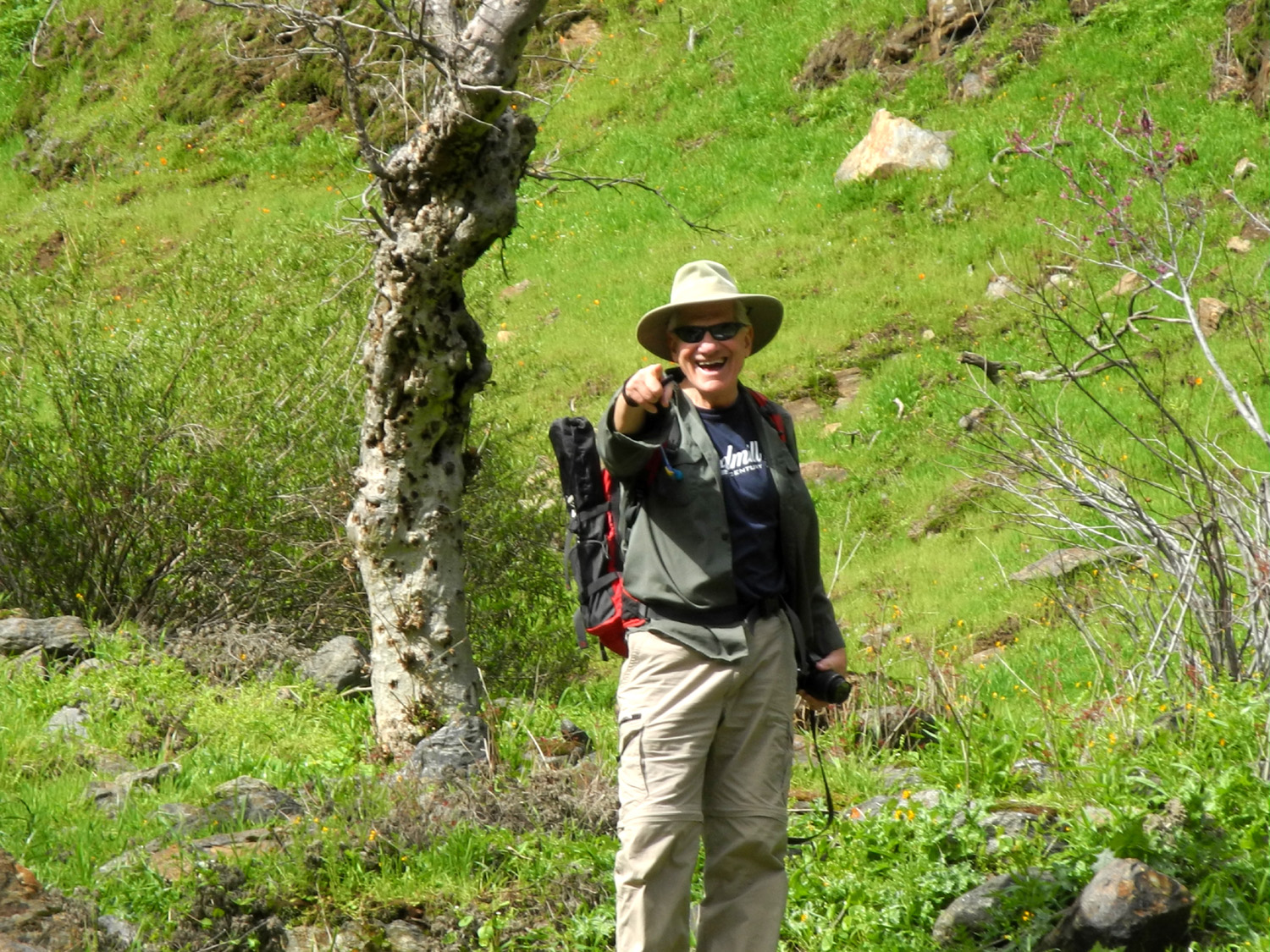
Part 2 - Goofy Smith Flat & Garnet Dike We had invited my friend Wes Thiessen to join us for at least one day and night, and he came up on Sunday morning. Teri wanted to get started home around mid-day, so we planned a short outing - up the road to Mill Flat Campground by truck, then a walk from there to Goofy Smith Flat. I've written about this location in the past, and Teri had been there many years ago, but it would be Wes's first visit. |
||
 |
 |
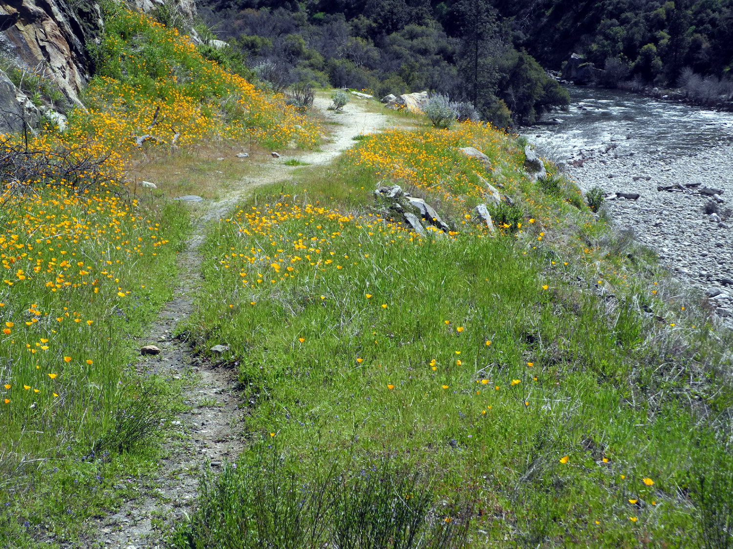 |
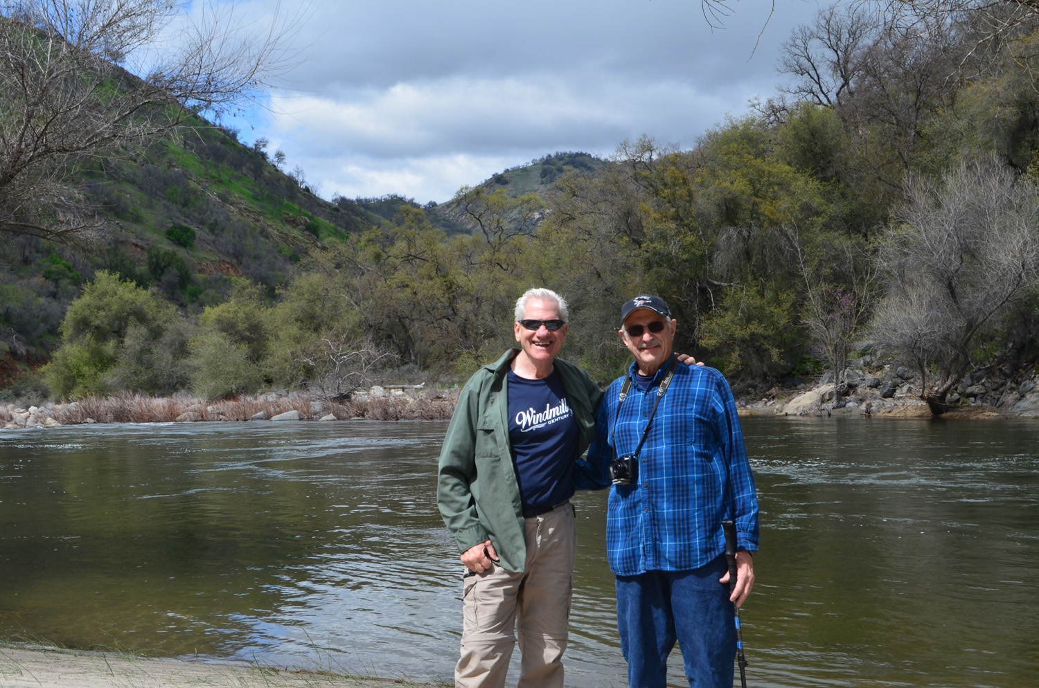
| Tributary creek running into Mill Flat Creek from the west (Thiessen photo) | Wes and Dick by the Kings River | Along the Kings River National Recreation Trail |
|
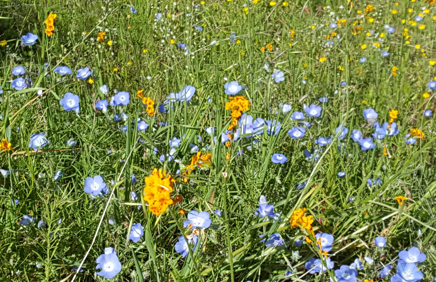
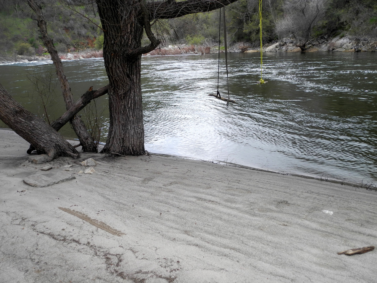
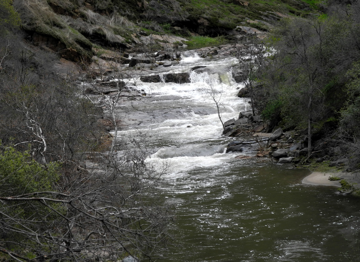
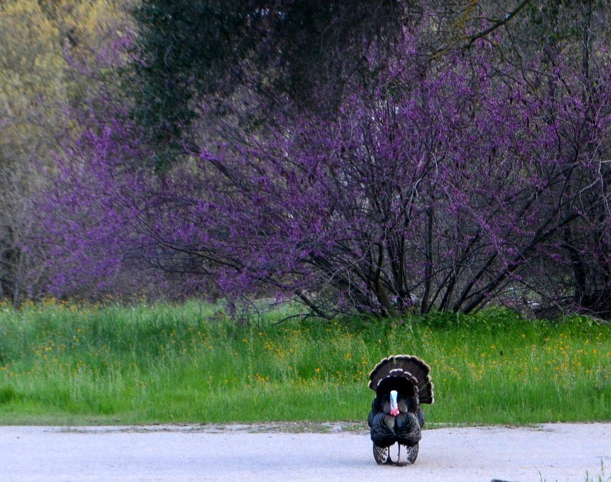
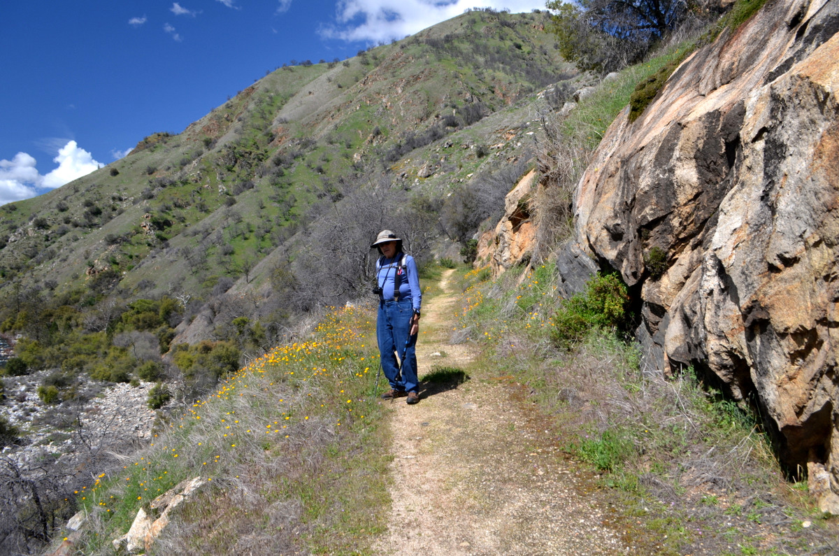
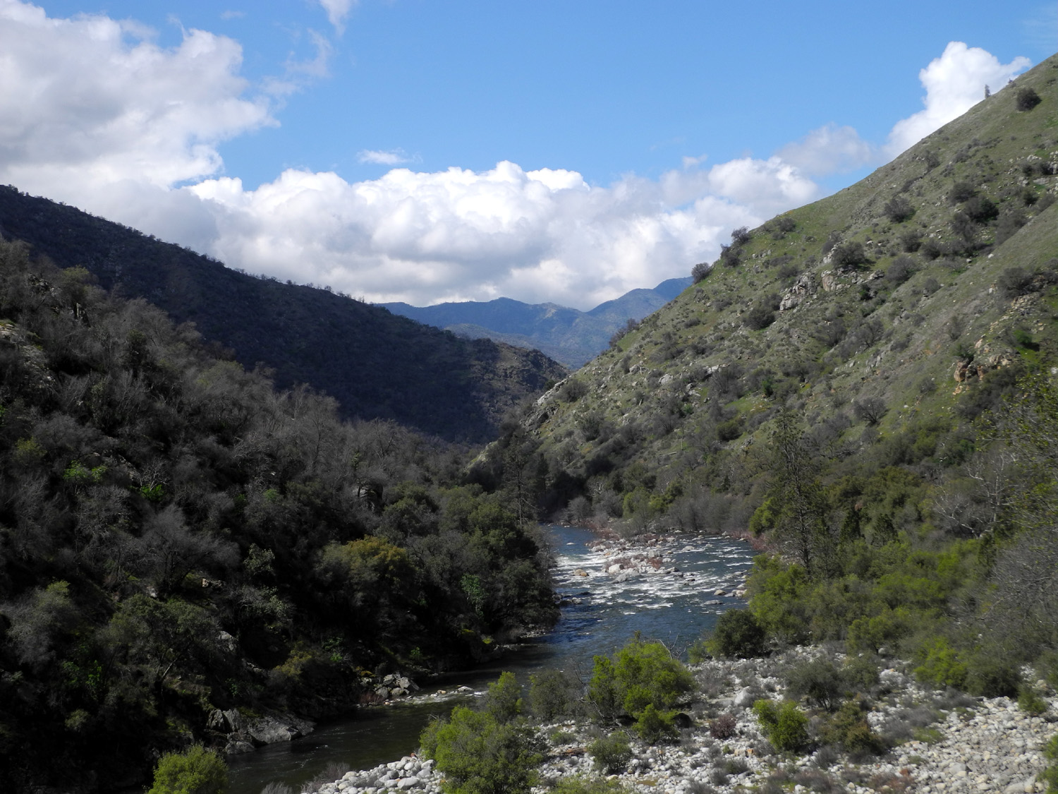
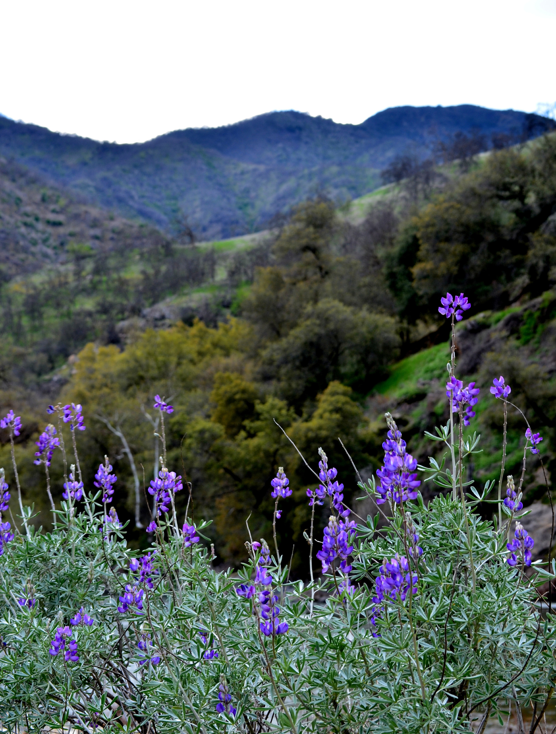
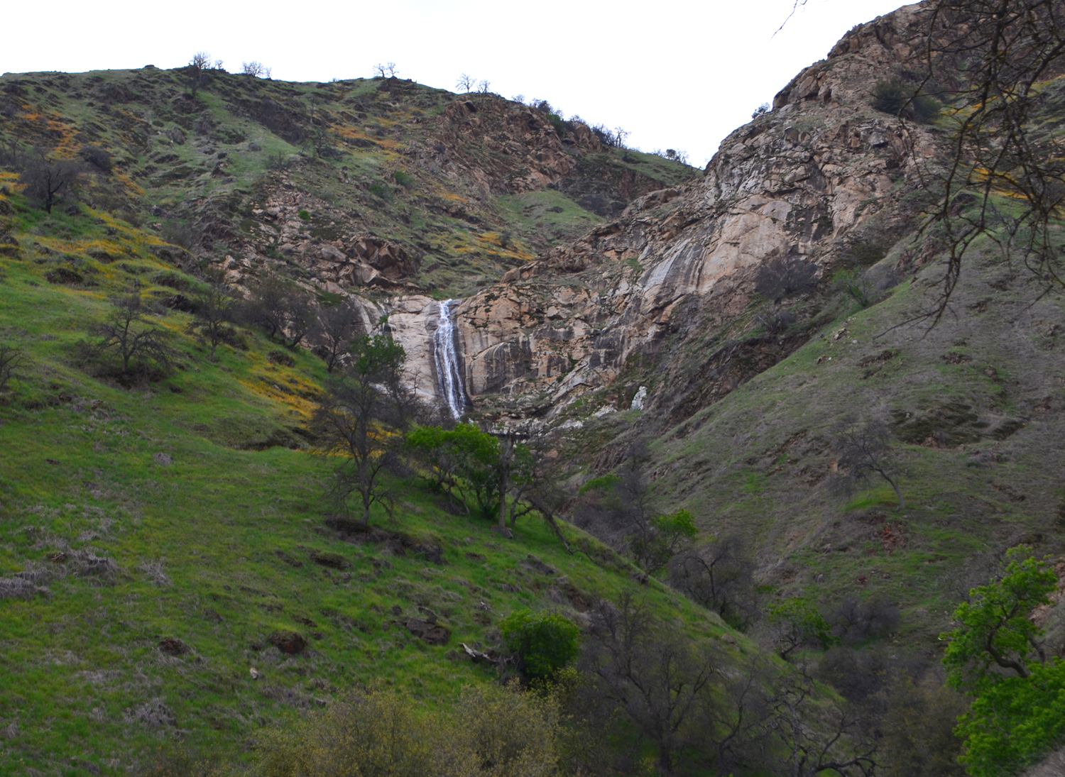
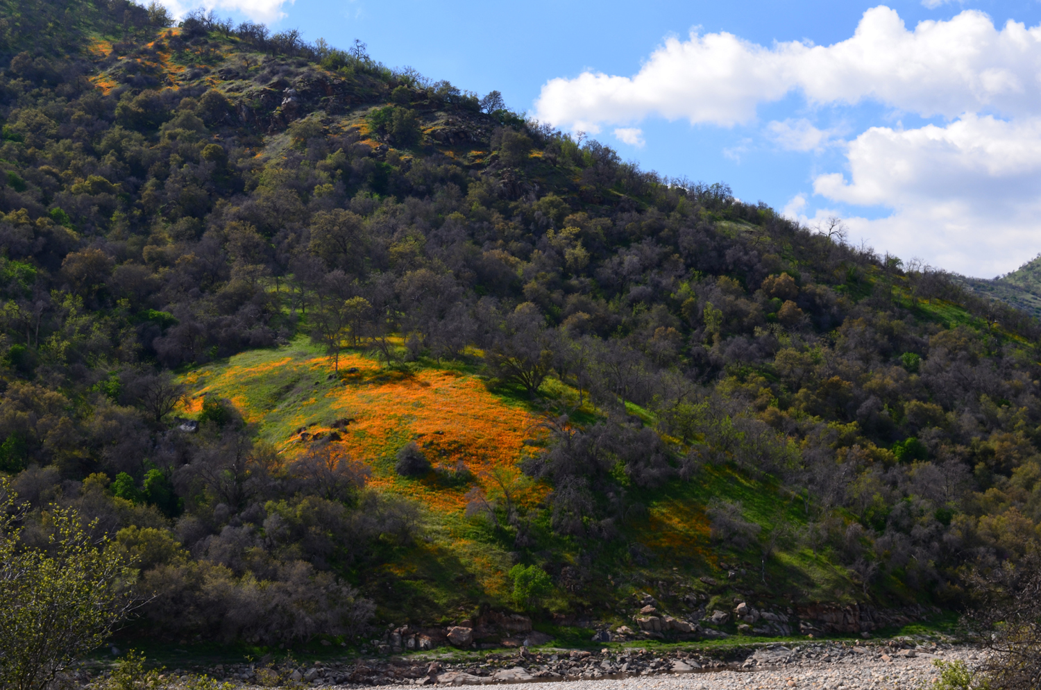
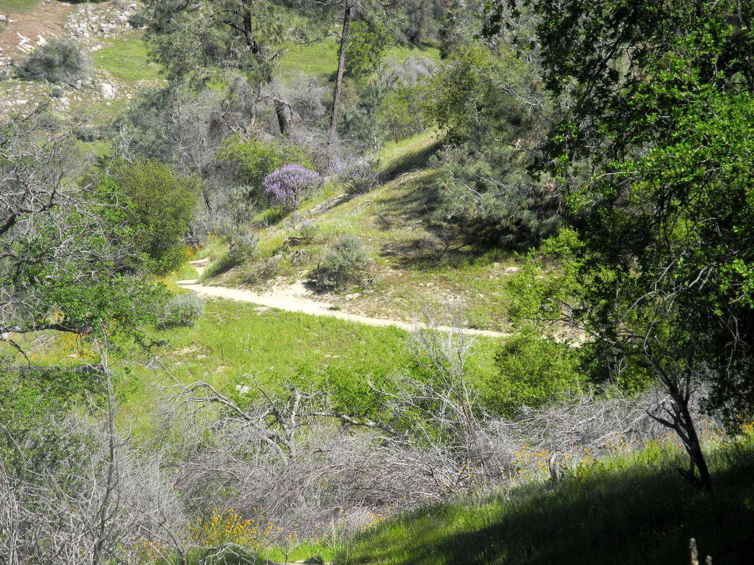
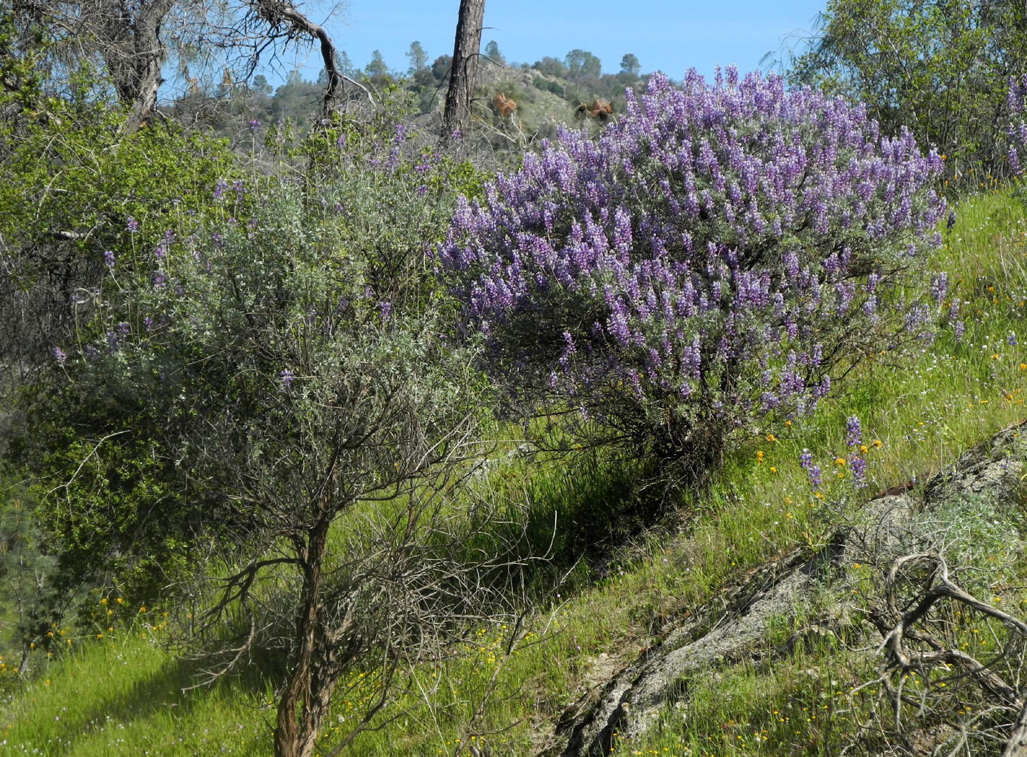
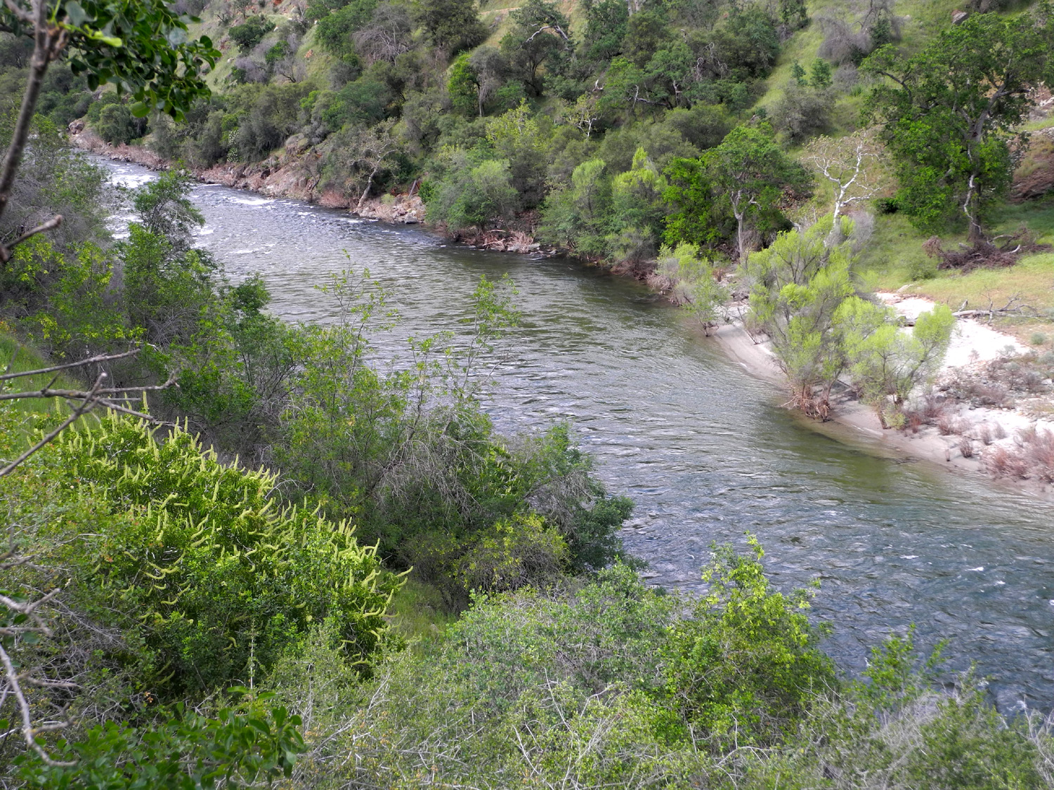
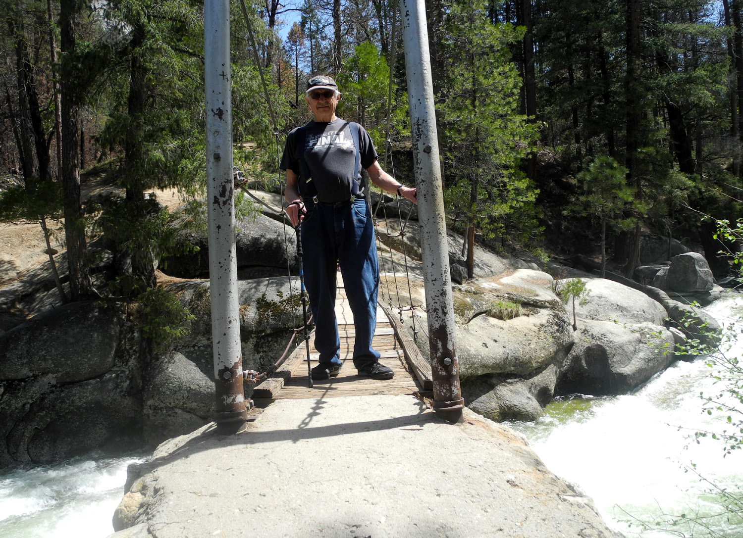
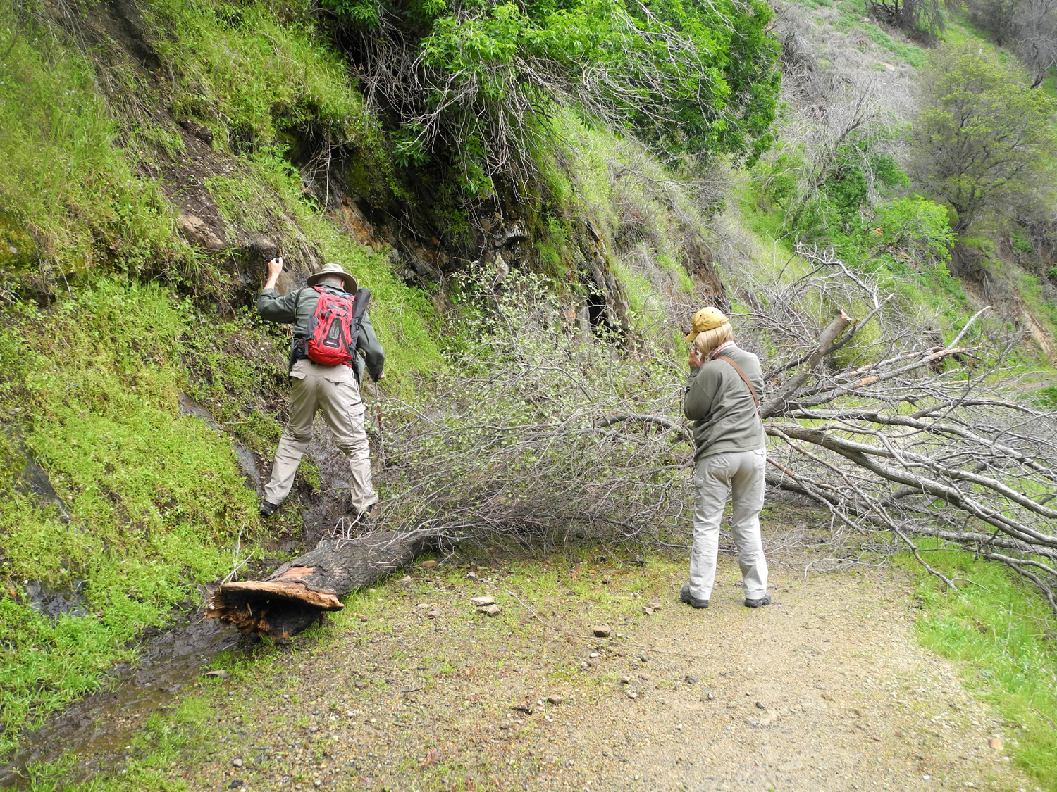
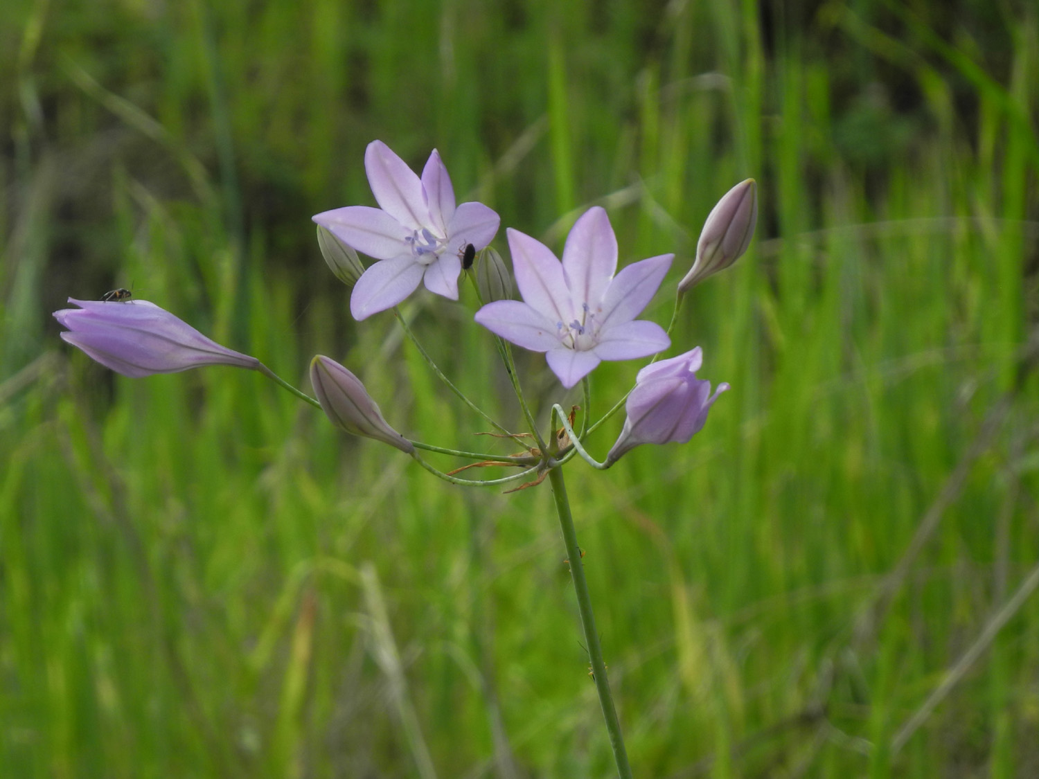
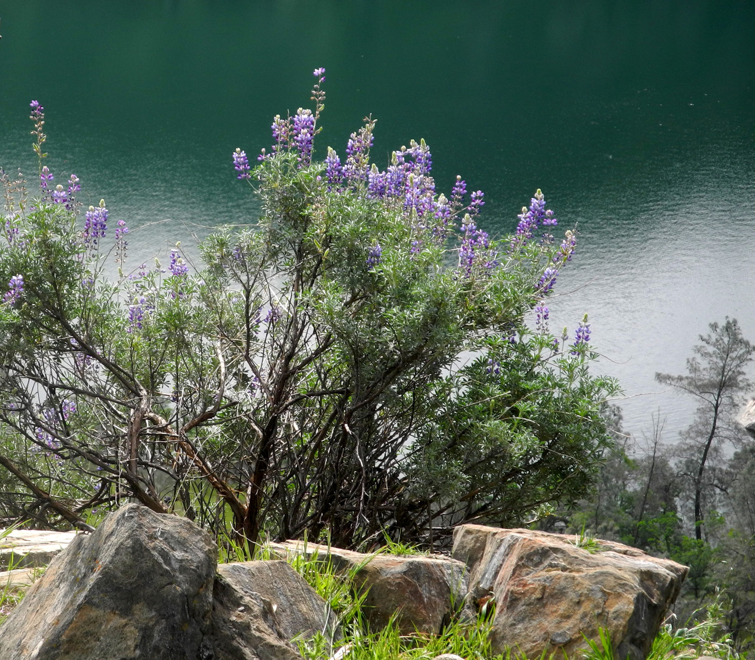
Teri and I had a simple breakfast of cereal, after enjoying a visit by several wild turkeys that walked down the road. Wes arrived about 9:45, and after he brought in his stuff, we got in my truck for the two-mile drive to Mill Flat. This was the location I chose for my first winter camping trip, decades ago. I've driven in past it, but I have not camped there for a long time. At the campground the road goes south away from the river and follows Mill Flat Creek for a number of miles. This road eventually comes out on Highway 180 above Dunlap, while the creek itself runs out of Lake Sequoia, near the border of Kings Canyon National Park. Although I've driven past Mill Flat a number of times in the last ten years or so, we planned to walk the final stretch. This was good, because the gate across the road at this point was locked. A short distance up the road there was a tree across the road which we could not have moved or driven past, but which we could step over easily. A little farther another more challenging tree blocked the road. Wes and I made our way past where the base of the tree was against the bank, stepping in mud and balancing on rocks, while Teri chose the more direct route of going through the upper branches lying in the middle of the road. She does this sort of thing on a regular basis in her job inspecting PG&E power lines. A little more than half a mile past the gate the road runs through a level area close to the creek. When I first saw this place the words "Goofy Smith Flat" were painted on the rock that makes up the road bank. The letters have become more and more faded with time, and in 2015 the words were barely legible. Across the creek is an old cabin which I insist is where the mysterious Mr. Smith lived and did whatever goofy people do in that area. On our walk up and back we enjoyed views of the creek, which was running big, as well as wildflowers and green grass all over the hills. About half way between the gate and the Flat a good size tributary creek ran in from the west. Once we got back to the cabin, Teri finished loading up her car and headed back to town, while Wes and I had a light lunch. He had brought his bike and wanted to ride up the road, but first we went down to the river. The first thing I noticed was that the flow of the river had diminished somewhat since we were there Friday. Two trees where the rope swing hangs over the river were in the water two days earlier, but were now at the river's edge. Colton's sand sculpture had dried out and collapsed slightly, although the slanted rock was still covered with sand. There are lots of trees and bushes down by the river, the most dramatic of which are the big sycamores that can be found along waterways throughout the foothills. There was also some redbud, and a small forest of bush lupine in bloom. Here and there we saw ponderosa pines, which usually do not grow below about 3,000 feet. These trees, as well as cedars, are often seen by larger streams, which carry cones and seeds downstream from the higher elevations. We returned to the cabin and Wes unloaded his bike and set off up the road in the direction of Mill Flat. After a short time I followed on foot, going only as far as the big creek just up the road to get some photos. During these excursions, we felt a very few drops of rain. When I got back I intended to take a nap, but ended up spending most of the time getting a start on cleaning the cabin. Wes rode almost to Mill Flat, exploring two campgrounds between the road and river - Camp Four, and Green Cabin Flat Camp, which does not actually have a cabin of any color. Wes was in charge of dinner and breakfast, and had brought lasagna from Trader Joe's. When he returned from his ride, we turned on the generator, figured out the oven, and enjoyed a glass of wine while we waited the hour required for cooking. We worked on solving the world's problems, without finding a workable solution, but worldly cares were forgotten as we had a great supper of salad and lasagna. As we entered the cabin after our outing, Wes saw a lizard, which disappeared behind the couch and was not seen again. As the sun started to go down, we decided to take a late evening walk, and headed west on the road toward the cattle guard and beyond. We were treated to some amazing views of the surrounding hills lit up by the setting sun, and Wes did his best to capture at least a hint of what we saw in photographs. The next morning we had another visit from the wild turkeys, with a big tom strutting and fanning his tail feathers, impressing the four females with him as well as Wes and me. Wes cooked up a pot of oatmeal with blueberries and raisins added to give us energy for the day's activities. Before our trip, we had discussed several options for our Monday hike, which would take place after we finished cleaning and moving out of the cabin. We decided to drive up the dirt road on the opposite side of the river, eight miles to a trailhead, and walk in for a mile or so. The road ends at what used to be Garnet Dike Campground, but is now designated as a raft put-in site (you can still camp there). This marks the start of the Kings River National Recreation Trail. It goes along the river for a mile or two, then climbs up the canyon and over a series of ridges and drainages, finally reaching Garlic Meadow Creek. I have backpacked to this location and camped there at least three times, but the six mile journey is not one I would try now. The trail goes past the creek a mile or so, and it's possible to go out on a steep slope and get a look at a nice waterfall where the creek drops down toward the Kings River. The road proved to be in very bad condition in spots, and at its best allowed speeds of no more than 15 MPH. Driving the mile from the cabin to the paved road, then up the Garnet Dike road took us almost an hour. Of course, we had to stop a few times to photograph poppies and the river. When we got to the trailhead, a couple was unloading kayaks from their pickup and we talked to them briefly. They were from Montana, and spend four months each year making their way up the west coast, starting at Anza-Borrego Desert State Park, kayaking and mountain biking. They were camped downstream at Kirch Flat, and had a small motorbike which the man would ride back up to their starting point to retrieve their truck. We set off on the trail, which is an old dirt road for the first few hundred yards, and then becomes a hillside route for a while, with a steep high ridge on one side and a drop-off to the river on the other. It then went down to river level, and we continued about a half mile in this section. We had crossed a small creek near the beginning of the trail, and when the trail crossed a larger tributary, we decided that was a good spot to rest and have our snack. Throughout the hike we were walking among poppies, bird's eye gillia, redbud, blue dicks, bush lupines, filaree, popcorn flowers, yellow brodiaea, and the usual unknown species. Miner's lettuce was in bloom with larger than usual flowers, in big white patches. Reluctantly we turned our steps back to the west and back to my truck. Driving out we had a view of a nice seasonal waterfall a few hundred yards up from the road on the north side. I had seen this waterfall once about 30 years earlier during an ill-advised attempt to camp in the area when steady rain was predicted. Wes had driven out from the cabin and left his Highlander where the dirt roads meet the pavement, so we parted ways there and headed back home. To top off the weekend, as I was crossing the Sycamore Creek bridge along Pine Flat, a bobcat ran across in front of me. I slowed down to make sure of what I had seen, and he had also stopped just over a rock barrier and was sitting there checking me out. During our weekend, we all agreed we'd like to do this trip next year. While writing this report, I've been thinking about the fact that it's very nice in the foothills in April, and perhaps I will make a return this year. If so, you'll be the first to hear about it.
NOTE: The US Forest Service web site for the Kings River National Recreation Trail contains incorrect directions. Highway 180 does NOT turn into Trimmer Springs Road; it is Belmont Avenue that does this. STATISTICS (For those keeping track, mainly me): Including the drive to Black Rock and to Mill Flat, it was a 173 mile round trip. I hiked a total of just under eight miles, a little more than five and a half hours of hiking time. Yeah, we walk slowly.
|
||
|
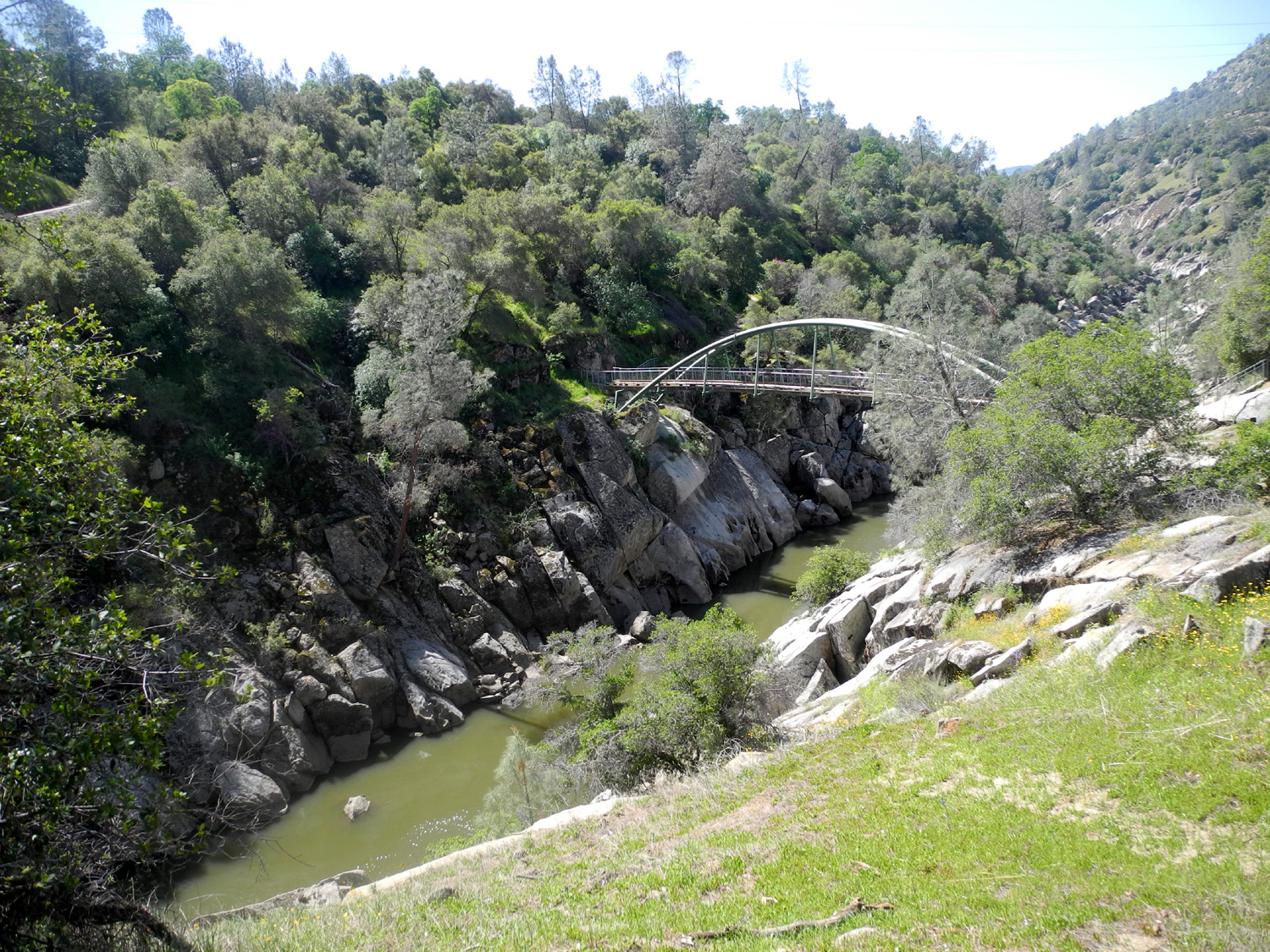
San Joaquin Gorge Bridge Despite big rains in late March, I have been feeling the approach of warm weather, reminding me it's time to do some more foothill hiking before it gets too hot. So on April 3 I drove the 35 miles to the San Joaquin River Gorge, planning to enjoy spring wildflowers as I hiked down the Bridge Trail to the river, and perhaps a little beyond. |
||
 |
 |
 |
| Fiddlenecks grow by
the tens of thousands all over the Sierra foothills |
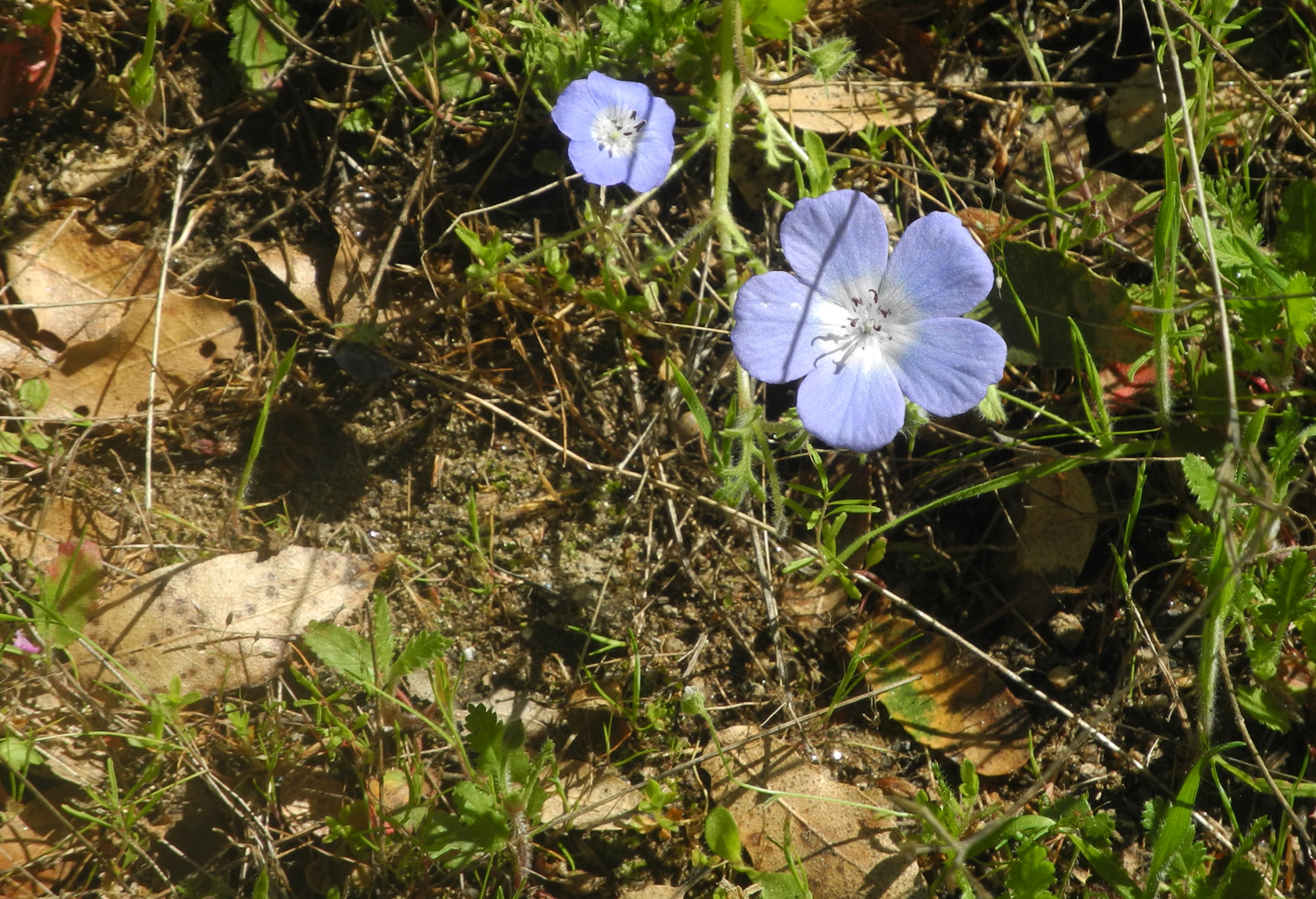
Blue oak wears leaves of bright green in the spring | A bumper crop of
baby blue eyes competed with the fiddlenecks |
|
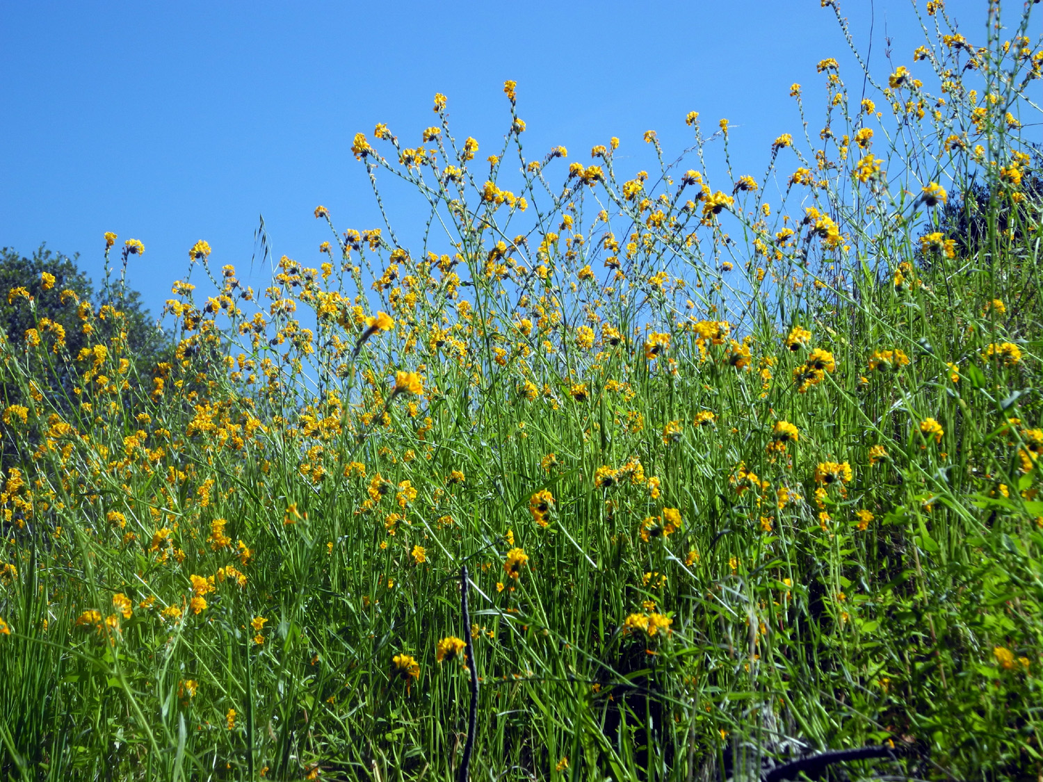
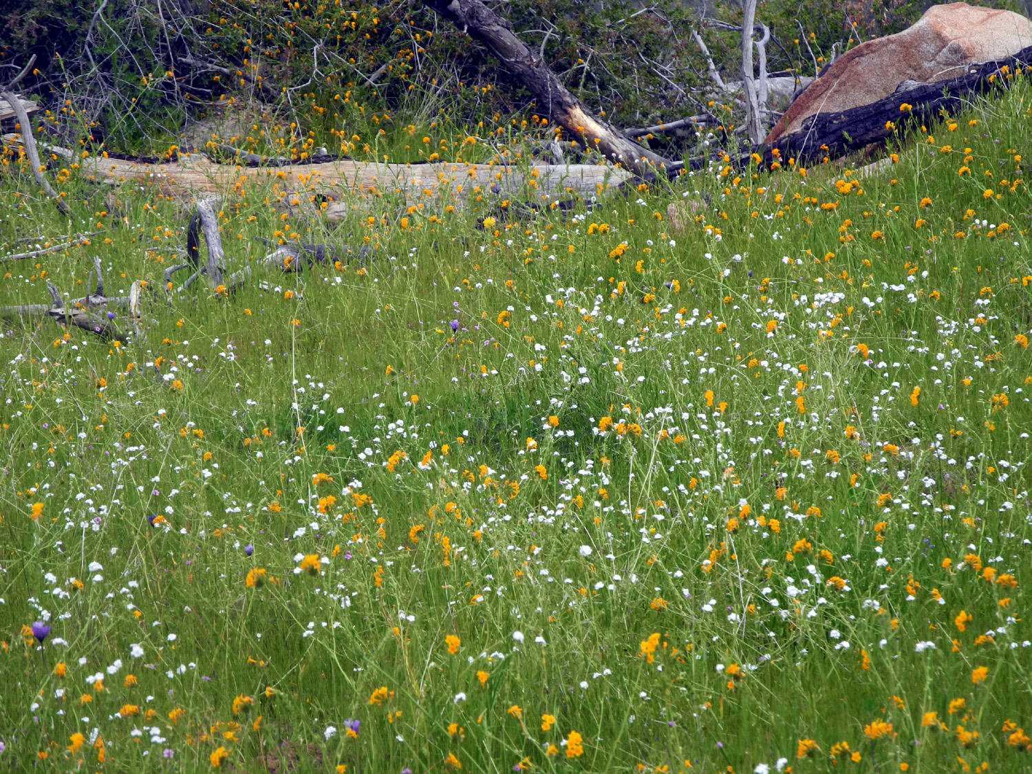
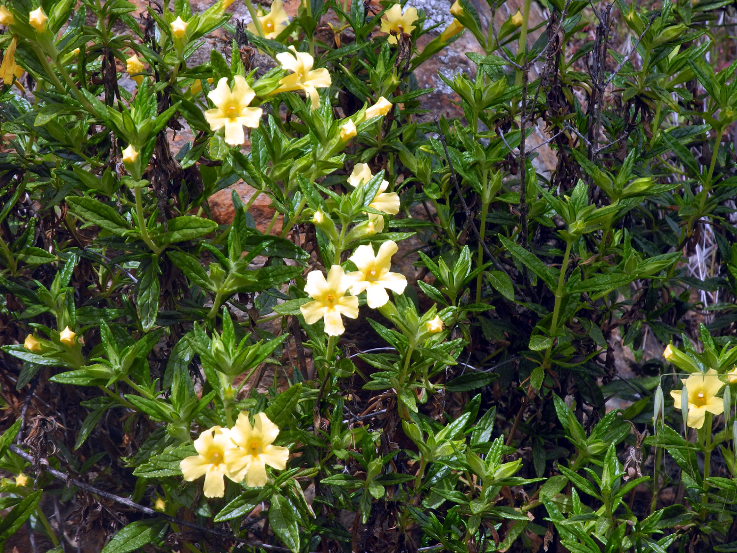
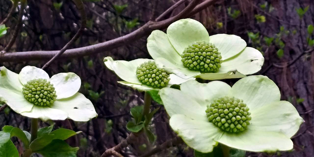
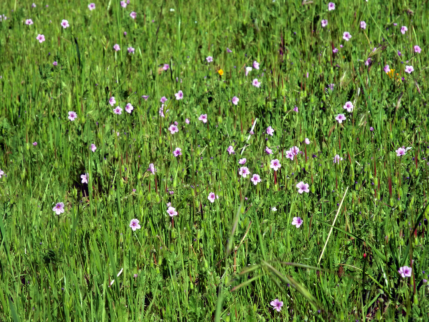
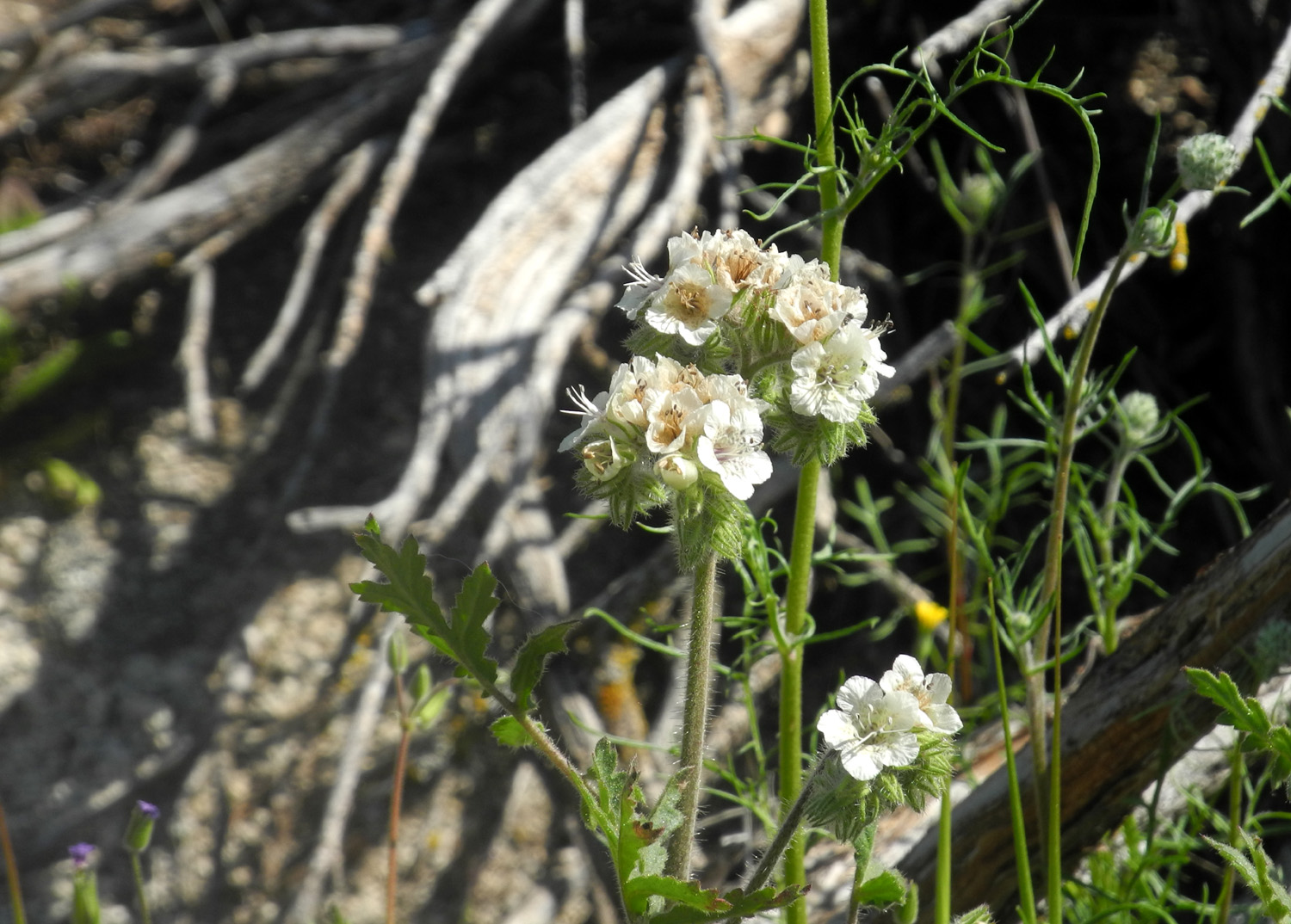
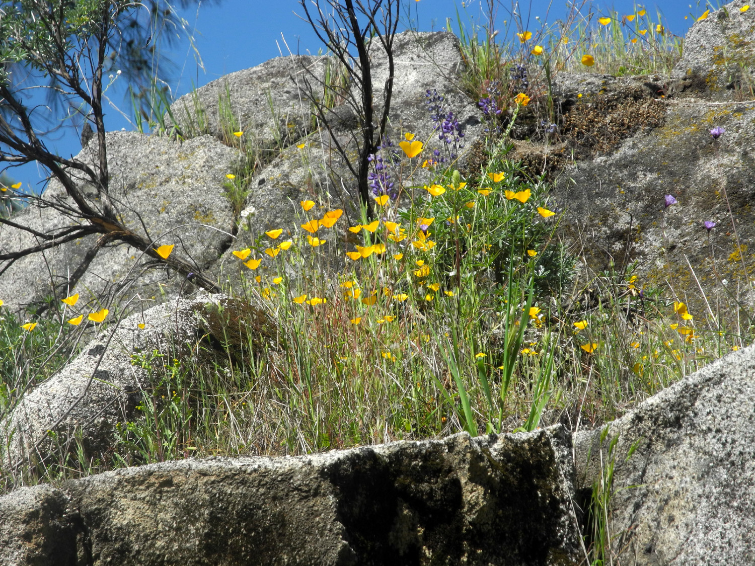
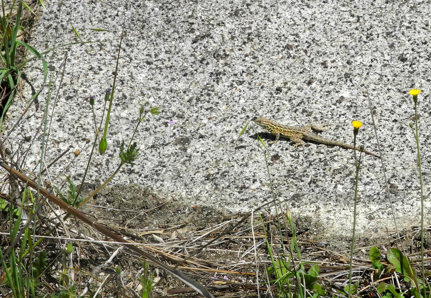
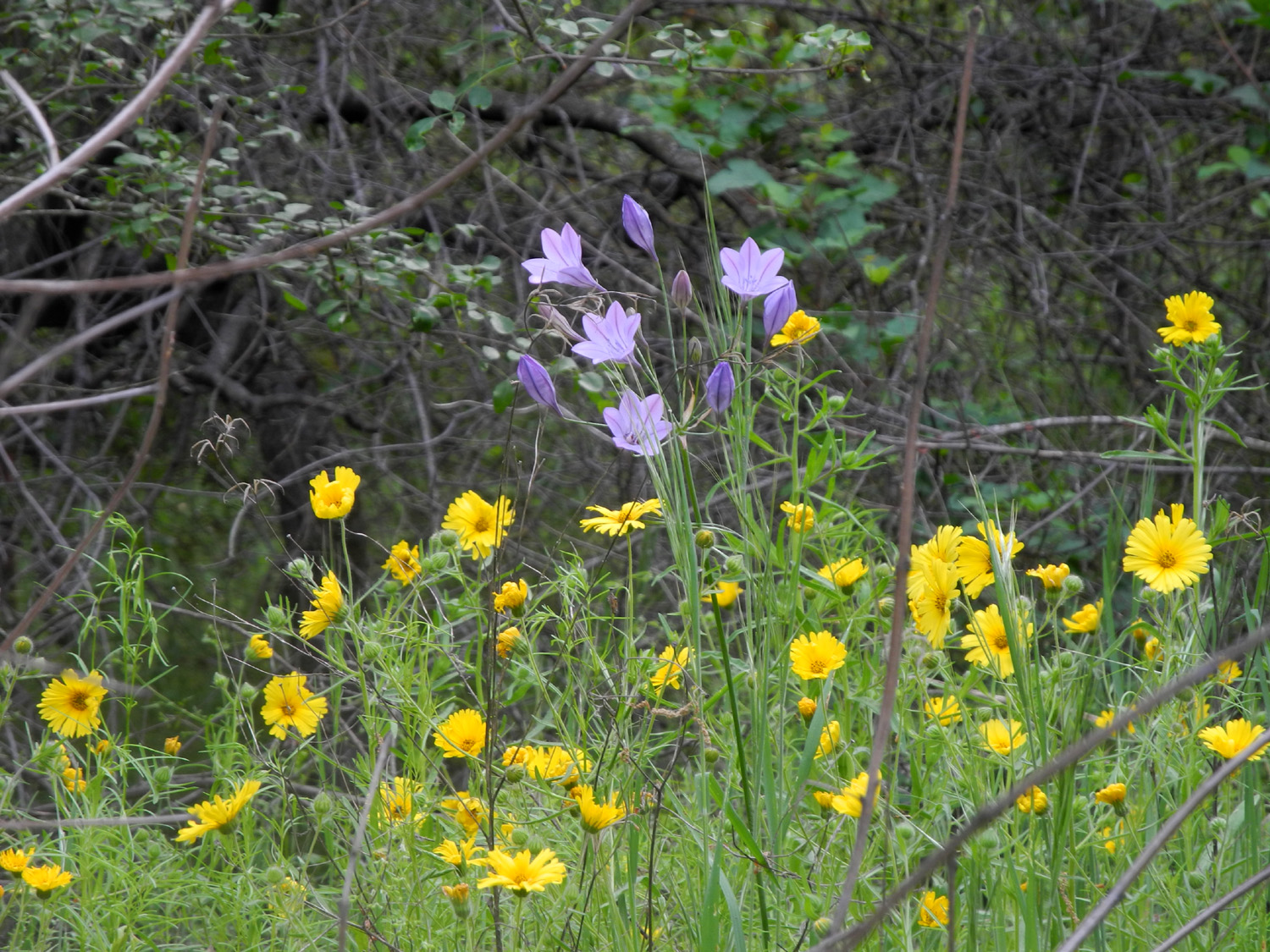
From the turnoff near Auberry to the parking lot, I saw more cars driving in than usual, but there were still several spaces available at the trailhead. A group of about eight was heading up to the San Joaquin River Trail, while three hikers and their dog went down the Bridge Trail ahead of me. On my hike I met or was passed by about a dozen people, all taking advantage of an excellent spring day. The weather was warm, with a little breeze, so I was comfortable in a short-sleeve T-shirt for the first time in a few months. Along the road I saw thousands of fiddlenecks, lots of bush lupines, and a few other flowers. Along the trail, with time to stop and look around, I identified over a dozen species, with the fiddlenecks dominating. There were also more baby blue eyes along the trail than I have ever seen before. Other species in good numbers included popcorn flowers, fiesta flowers, bird's eye gillia, redbud, filaree, phecelia, and poppies. There were lesser numbers of owl clover, miner's lettuce, tall ground lupine, dove lupine, Sierra star, and blue dicks. Buckeye blossoms were just barely starting to develop. Everything was fresh and green, well watered by recent rains, and there was water in three of the little creeks that cross the trail. The river itself was quite low and the water appeared murky. When I reached the bridge, I did not stop to rest as I usually would, but kept going to the trail junction a little farther up the hill. After the short climb to this point I decided I had gone far enough, and sat on a nice rock to rest. I probably stayed there about 15 minutes, including time spent setting up the camera for a self portrait. Walking back down the section of trail from the junction to the bridge, I saw an unusual light tan lizard, as well as a more common darker one. Although the return trip is mostly up hill, it seems less difficult than it did a few years ago, when I was not doing much hiking. I thought about how I had hiked this trail back in the 80s without much thought of it being difficult. Later it became longer and steeper; now it has gone back to being just a moderate hike. I got back to the car about noon, and took my lunch to a picnic table. I had my current book with me (via the iPad Kindle app), and enjoyed my peanut butter sandwich and an orange. Although I had some errands to do when I got back to town, I was home and ready to relax by mid-afternoon, already thinking about where and when I would go for my next foothill hike.
|
||
|
San Joaquin River Trail West The west end of the San Joaquin River Trail starts at the Finegold Picnic Area on Millerton Lake. It goes about 14 miles to the San Joaquin River Gorge, but when I hike from the west, I usually go in about a mile and a half. This is far enough to take me through an amazing array of wildflowers, including those that favor the shady lower slopes, and those that thrive in the open sun of the upper part of the trail. |
||
 |
 |
 |
| Chinese houses and yellow daisy-like flowers | Finegold Bay on Millerton Lake | Harvest brodiaea and popcorn flowers |
|
The trail starts right at the edge of the upper level of the lake at 600 feet, and rises to 1,200 feet at the top of a saddle that marks the usual end of my hike. In the past I have tried to go a little farther each time than ever before, but eventually the law of diminishing returns kicks in, so I just went as far as I felt like, about another quarter mile past the saddle. It was heartening to see that the lake is nearly full to capacity. At the right time of year, this is an excellent wildflower hike, and with a fair amount of rain, and plenty of warm days in between storms, the flowers are very good this year. The only species that is out in huge numbers is the fiddlenecks, but on this hike I counted at least 22 different types of wildflowers that I could name, plus a few of the "unidentified" variety. My hike started at 9:30 a.m. on April 10, and with my propensity to stop and study the flora and the scenery, took three hours with a round trip measure of two and three quarters miles. It was a good day for wildlife, as I saw about eight ground squirrels running across the flat area below the parking lot as I started, and several more on the hike. There was a flock of quail at the trailhead, and several lizards in various places. Going back down, I left the trail and made my way down and across a drainage, a side trip I had done once before. The grass was short enough that this part of the walk was fairly easy, but it would not be wise to try it in years when the grass is tall, or in the late part of spring when it's getting dry. For those keeping track, the wildflower species I saw included fiddlenecks, popcorn flowers, blue dicks, purple brodiaea, harvest brodiaea, elderberry, poppies, foothill gillia, birds eye gillia, miner's lettuce, phecelia, tall ground lupines, dove lupine, bush lupines, filaree, lacepods, Sierra star, California jewel flower, fiesta flowers, Chinese houses, thistle, and yellow clover. This type of hike makes me want to get out into the foothills as often as possible while it's still nice and green, but I have a lot of other things scheduled in April, so this will probably be my last hike at this location until the fall. At least I have a hike at the San Joaquin Gorge scheduled, and a one-night return to Camp Four and a Half Cabin. Stay tuned!
Dick Estel, April 2018 |
||
|
Back to the Cabin In my report on our family trip to Camp Four and a Half Cabin, I mentioned that I was thinking of going back again this year. On April 30 I did just that, this time accompanied only by my older great grandson, Colton. |
||
 |
 |
 |
| Raising the flag | A major earth-moving project | Common madea and purple brodiaea |
|
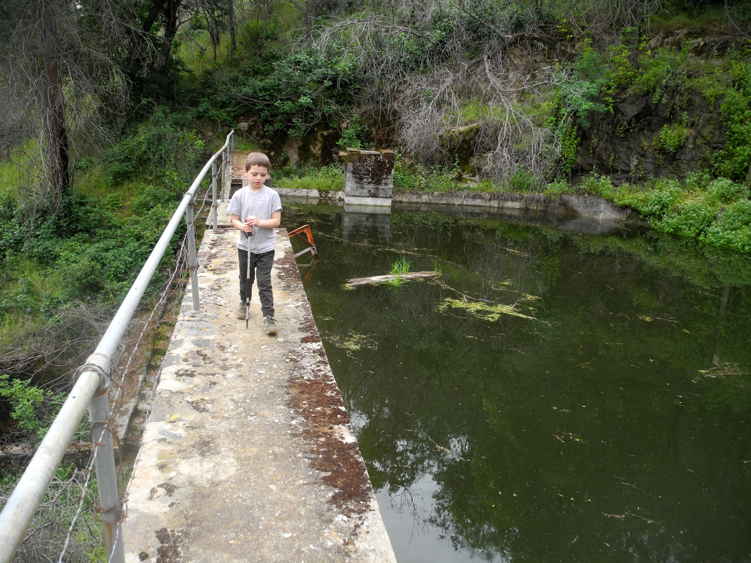
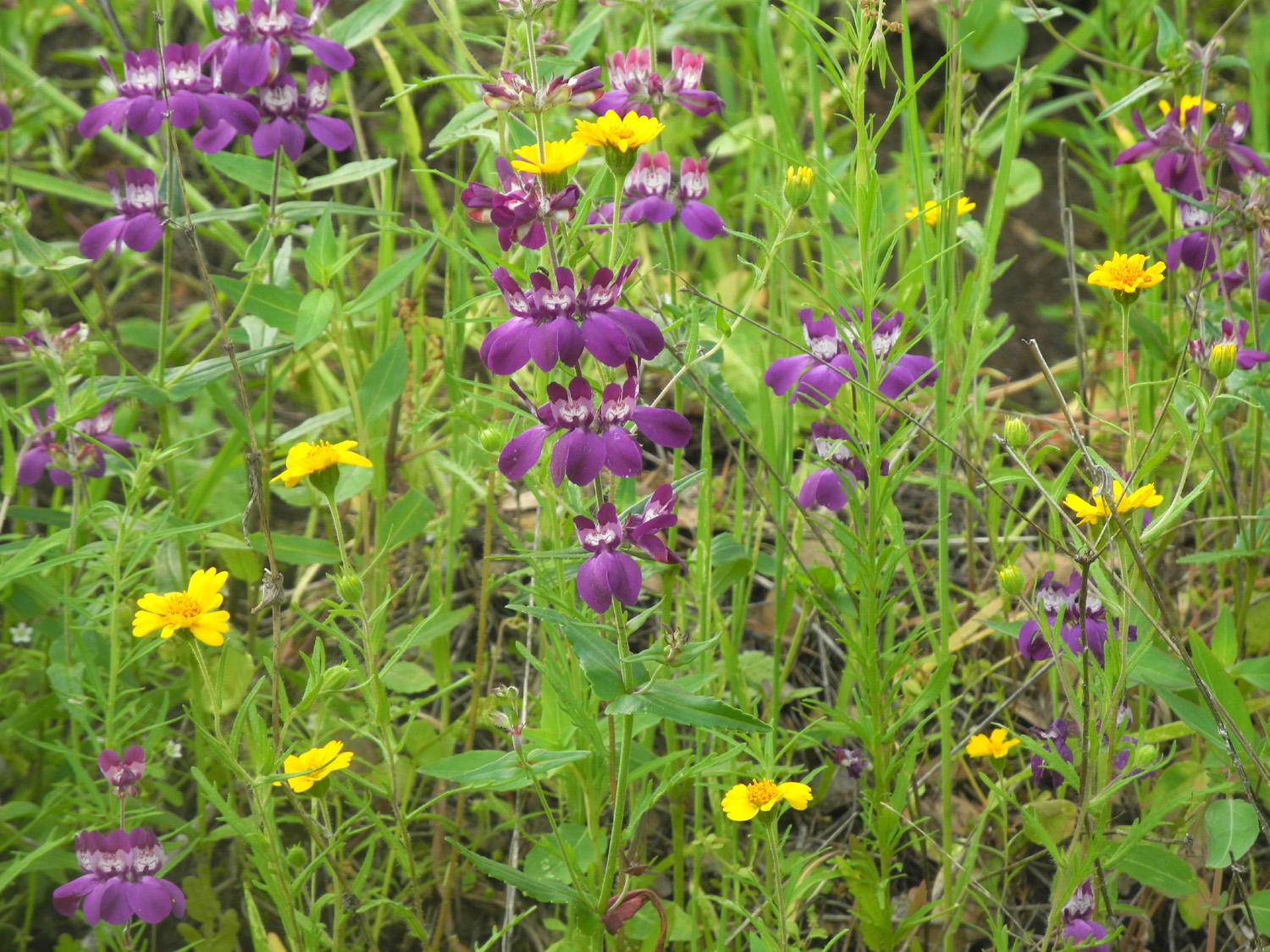
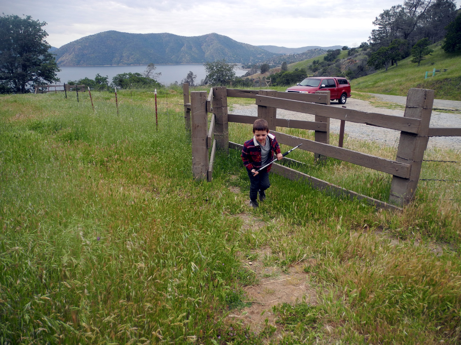
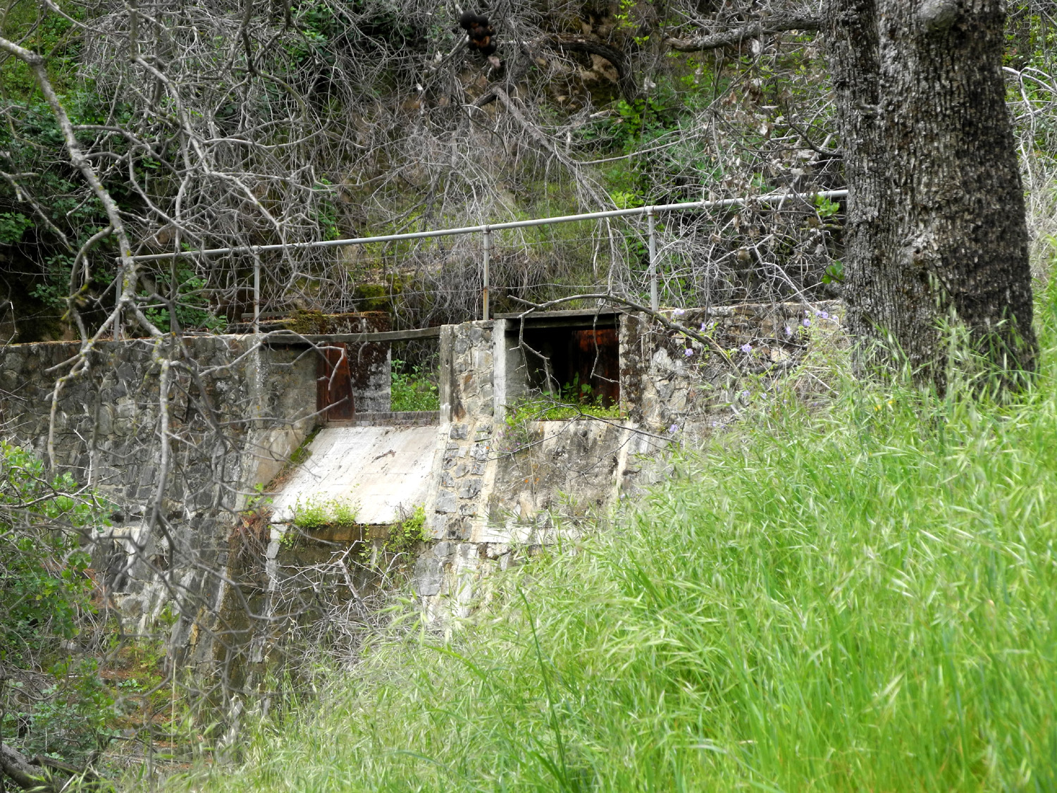
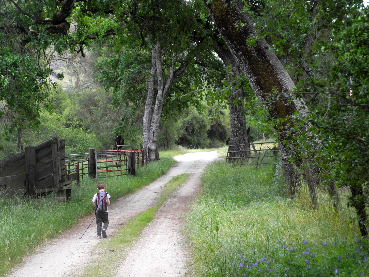
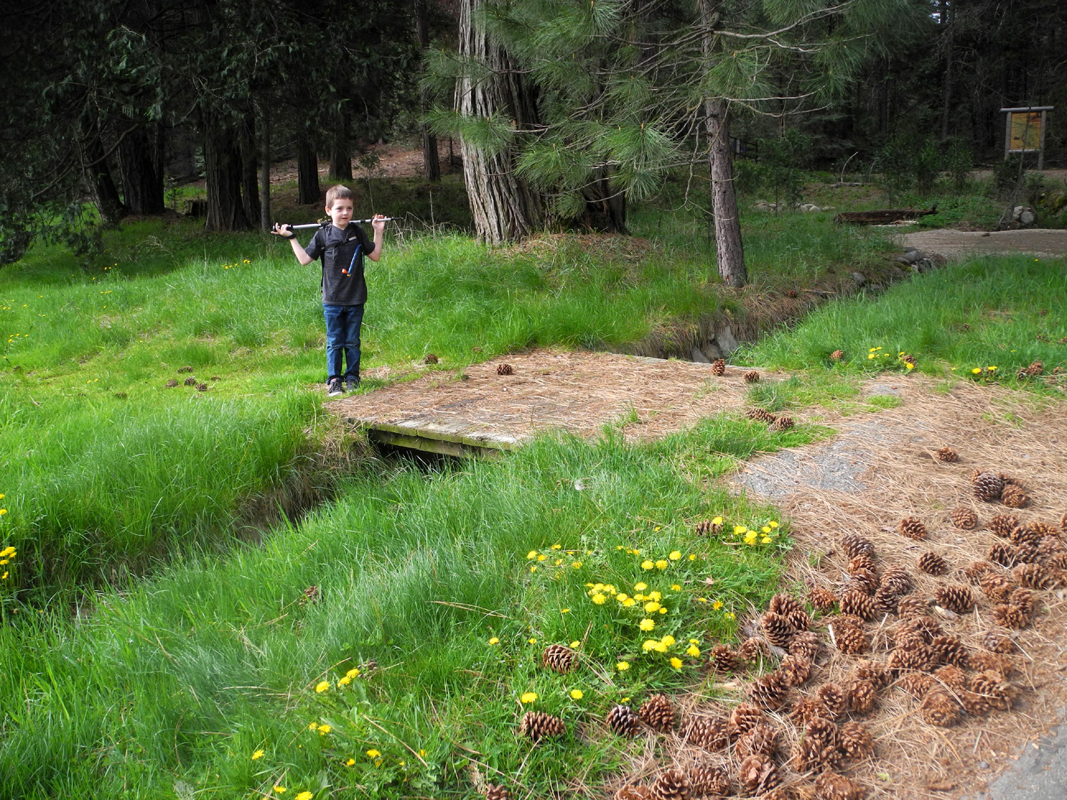
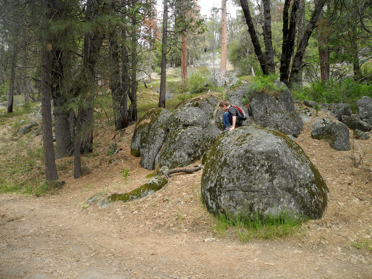
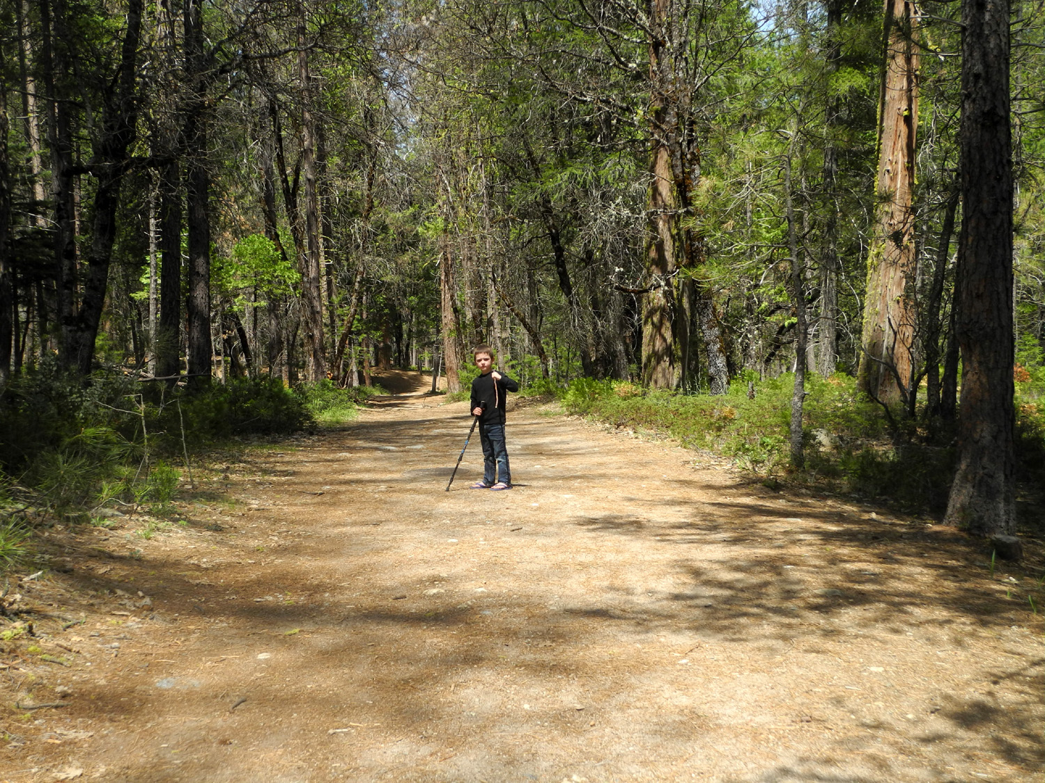
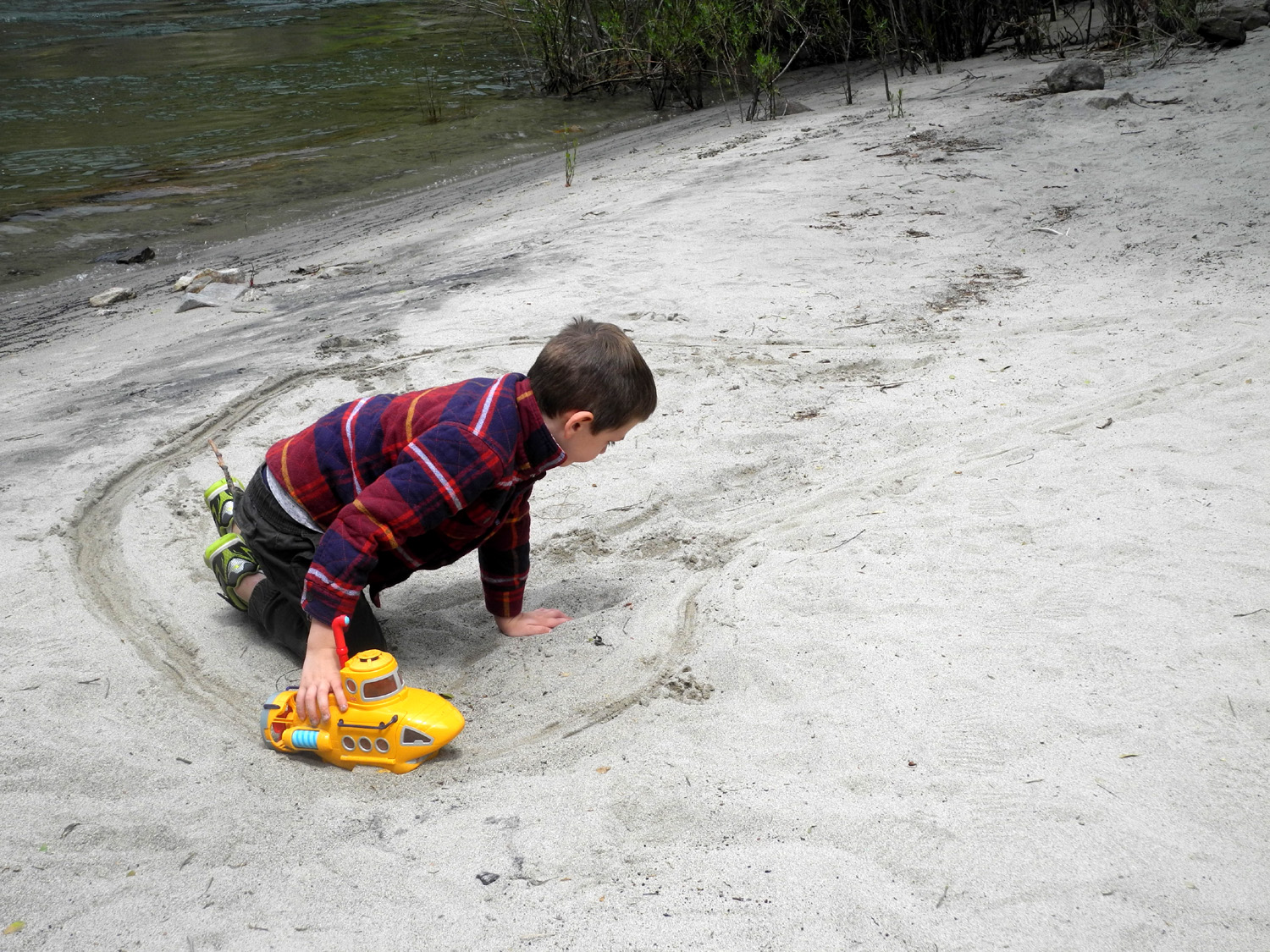
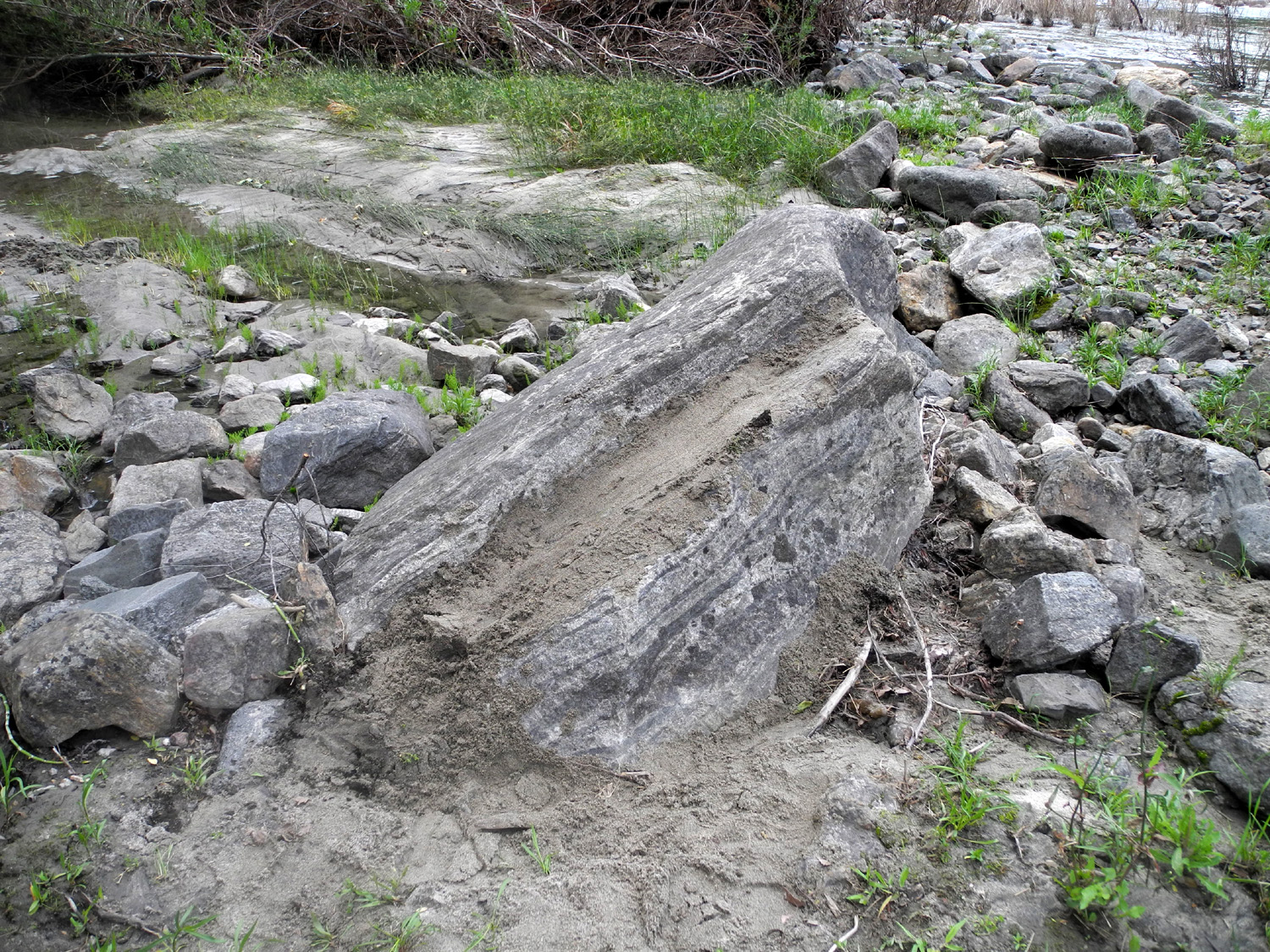
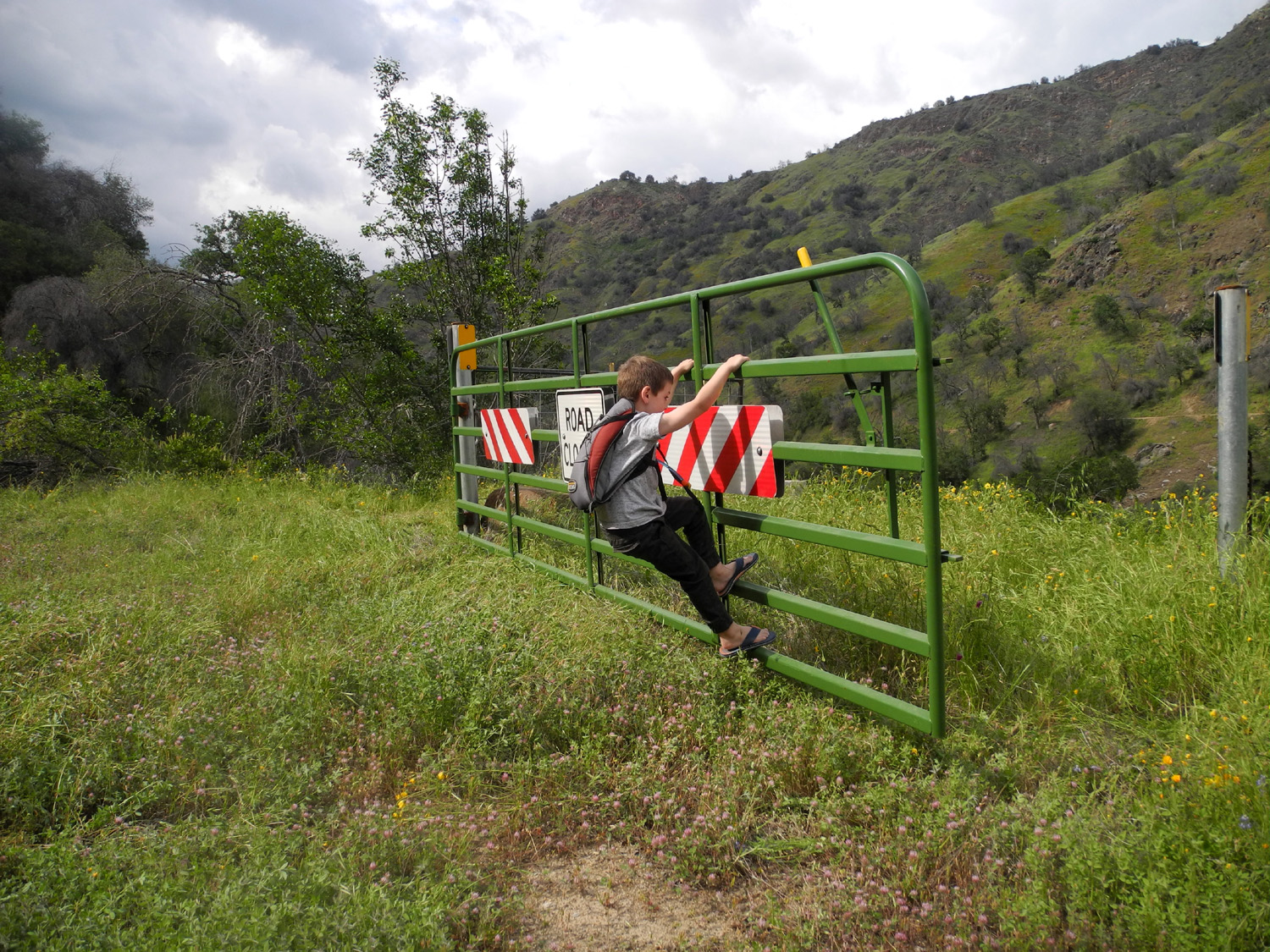
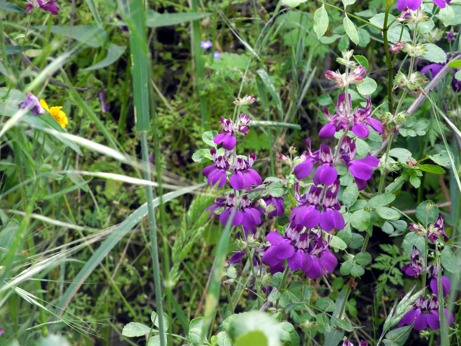
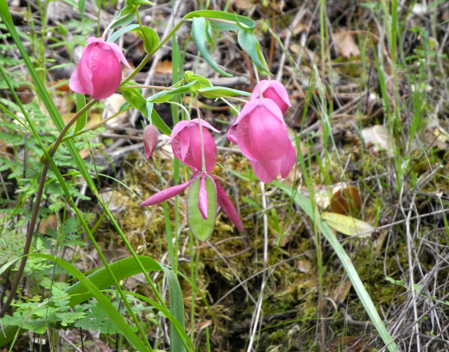
Colton's dad Johnny brought him over on his way to work, a little before 7:30 a.m. I had just started breakfast, so after we got Colton's stuff transferred, we said goodbye to Johnny, I finished breakfast, and we got everything else loaded up, leaving Clovis about 8:30. I knew there were people staying at the cabin the night before, and check-out time is 1 p.m., so I didn't want to arrive too early. To make the trip longer, I planned to stop for a short hike, and a visit to an area I thought Colton would enjoy. About 35 miles into our 60-mile trip we stopped at the Edison Point Trail by Pine Flat Lake. I've hiked here several times, most notably in March three years ago. The first part of the trail is a service road to a power transmission tower, but the very start of it is very steep. As I expected, Colton ran up this part. The entire loop is not that long, but is very demanding, and I had no thought of going farther than the half-mile jaunt to the top of the point itself. However, a tenth of a mile into the walk Colton was ready to go back. I don't think the walk was a problem; he just didn't find this trail very interesting. Of course, I can spend a half hour going 500 feet, examining each species of flower and studying each variation in the distant views. Although this hike was short, we saw quite a few of the many wildflower species that brightened our trip. Most notable here were Mariposa lilies, not in a thick carpet, but scattered around in groups of a couple dozen or so within a twenty foot square section in several locations. We continued on along Trimmer Springs Road, and saw a rare sight - the lake was up past the Sycamore Creek Bridge, something I have not seen in 20 years or more. It was also almost up to the Big Creek bridge, where we turned off on the dirt road and drove in a few hundred feet to the rock artifact I refer to as The Waterworks, and which some call a weir. There are at least five of these structures, all built in drainages that lead into Big Creek, and I've written about them before. They all have concrete basins or small dams built into the drainage. Most have steps leading up the steep hill beside them, and various valves and what appear to be water gates. The steps are more and more difficult for me every time I go up, but kids almost always go up with ease, and Colton was no exception. He was quite impressed with this location, especially when I explained I had been there with his dad when Johnny was twelve or so. This was one of the things he talked about at length when Johnny picked him up the next evening. The steps end at the level of the top of the dam, 30 feet away from it, but in the past it has been fairly easy to walk across the hillside to the rock and concrete structure. However, this time a fallen oak tree blocked the easy route, and we had to get past a barbed wire fence. There were only two strands, and I was able to step over and Colton went under with no difficulty. We chose a different route going back out. We got back on the paved road and continued the final leg of our journey past the upper end of Pine Flat, across the bridge over the Kings, and up to the dirt roads that lead up both sides of the river. Our destination is on the south side, one mile in from the pavement. Since we arrived about 11:30, I was not surprised to see that the previous occupants were still there, but I was happy to see that they were loading their vehicles. I talked with them briefly, and was informed that neither the cooler nor the hot water heater were working. Colton and I were both hungry, so we drove two miles up the road to Mill Flat Campground and had a lunch of cheese, crackers and vegetables at one of the picnic tables there. I had planned to walk down to the creek, but access from the campground is very steep, so we skipped that. On the way back I drove in to Green Cabin Flat group camp, a large camping area with a few picnic tables, fire rings and a toilet. It's a sand and gravel flat with bush lupines and other vegetation, but is fairly open with few shade trees. It's a place I would camp only if other areas were unavailable. When we got back to the cabin a little before one, the previous occupants were gone, so we carried our stuff in. I had trouble opening the combination lock, but it finally worked, only one of several problems we encountered with the cabin. Since we had lit the water heater with no problem the previous month, I suspected the people there before us were just doing something wrong, but I could not get it started either (not a big deal for only one night). After bringing our sleeping bags and clothing in, our next activity was to raise the flag, which Colton enjoyed last time also. I was interested to see if the river was higher or lower, and of course, Colton is always ready to play in the sand and water. On our previous trip I had noticed two trees near the edge of the river. The water was above them on Friday, and below on Monday. This time it was half way between. Colton went to work creating a winding track for a toy he had brought, the famous Yellow Submarine. Sadly, he knew nothing about the movie or the song. We then checked a slanted rock that he had covered with sand in March. It had rained since then, and all sand was gone, so he got busy replacing it, carrying large handfuls of sand from various sources, the wetter the better. I then remembered I had brought my folding camp shovel that I've owned for decades, and we went back to the truck to get it. He has played with it before, and on the way back to the river, broke into a run, eager to get into wholesale sand movement. He finished the "sand on the rock" project, then just had a good time moving sand around, using both shovel and hands. After about an hour of this, we returned to the cabin and I swept sand from his jeans, washed the submarine in a bucket of water, and got ready for a walk. We went up to the cattle guard about a quarter mile west of the cabin. Colton enjoys making his way carefully across these barriers, but he had way more fun climbing and swinging on the adjacent gate. I was able to push it a full quarter turn in one direction, and the faster I moved it, the better he liked it. My reward for this walk was getting to see a large number of wildflowers along the road. The dominant flower there this time was common madea, a large yellow daisy-like bloom. There were also a lot of Chinese houses and purple brodiaea along the shady side where the bank rises up steeply. Others seen in good numbers included poppies, vetch, miner's lettuce, filaree and harvest brodiaea. We walked back down the road to the cabin and a short distance beyond to a small creek that runs into the river from the south, crossing the road. The flow was noticeably less than it had been in late March. Along this area I picked a "tree star" for Colton, his name for sycamore leaves. These trees had been bare during our earlier trip, but were now displaying soft, slightly fuzzy new leaves. When we got back to the cabin, I got dinner started - macaroni and cheese for Colton and a pork chop for me. Based on other things he likes, I am sure he would have liked the chop but he refused to try it. We spent the evening reading some kids books I had brought for him, all of which he has heard before. His favorite is a very well done book about the tropical rain forest, which inspired him to become a jaguar part of the time. When it was almost dark we put on our headlamps and went out for a short walk, just to the end of the paved section in front of the cabin. We also went out right before we went to bed, just on the back patio. It was completely overcast, but we were treated to an amazing sky view with the moon lighting up thin sections of the clouds, creating an effect like marble. I went outside twice more during the night - the first time it was completely clear, while the next time it was sprinkling. This shower, which started about 3:30, didn't last long, but there was enough to create small puddles in the road. We both woke up around 7:30, but didn't get up right away. As we were talking, Colton said "What's that noise?" I did not hear anything, so we went out to the living room. "I heard it again," he said. We looked out the window toward the back yard, and saw four wild turkeys strutting and fanning their tails. We carefully opened the back door to get a closer look, but they heard us and left. They didn't run, just walked quickly past the generator shed and out of sight. We got dressed and went outside and took down the flag, and I gave Colton a lesson in flag folding. This was followed by breakfast, Apple Jacks for him and Honey Bunches of Oats for me. I always have muffins with breakfast, and he ate one on our first camping trip last year. From then on he declared them to be "yuck" and has a piece of toast instead. After breakfast I took a few photos of the inside of the cabin. Next we loaded up our stuff, cleaned the cabin, and got started for home. When I got in the truck, Colton was pretending to be asleep, but by the time we got on the road, he was napping for real, and slept all the way home. Where the dirt road meets the pavement, I saw two deer go down the bank toward the river. Both coming and going we saw lots of cows along Trimmer Springs Road. As planned, we stopped first in Old Town Clovis, where Colton immediately woke up. We planned to eat lunch at Scoops, an old-fashioned ice cream parlor that also serves light meals, then visit an antique store that had something I knew he would like. Walking down the street, I noticed that the Dry Creek Museum was open, so we went in there for a while. To my surprise, Colton enjoyed this, and asked to return when we came back from another camping trip a week later. At the restaurant we had hot dogs, then got our dessert. A "scoop" at Scoops is equal to two or three normal scoops, and Colton was only able to finish half of his. Of course, I was willing to take care of the rest. We then went to Fifth Street Antiques, a mall-style store with a number of stalls where different dealers offer a wide variety of antiques, collectibles, and just plain good junk. One section has some very nice model trains, and Colton enjoyed this as expected. However, the thing that seemed to really catch his eye was a Boris Karloff head. I explained that this was the subject of "Monster Mash," one of his current favorite songs. If I had any doubts about his appreciation for this trip, they were removed when he announced that he would like to live at the cabin, as long as Mom, Dad and Jack were there too. We are definitely planning another family outing there next year.
--Dick Estel, May 2018 |
||
|
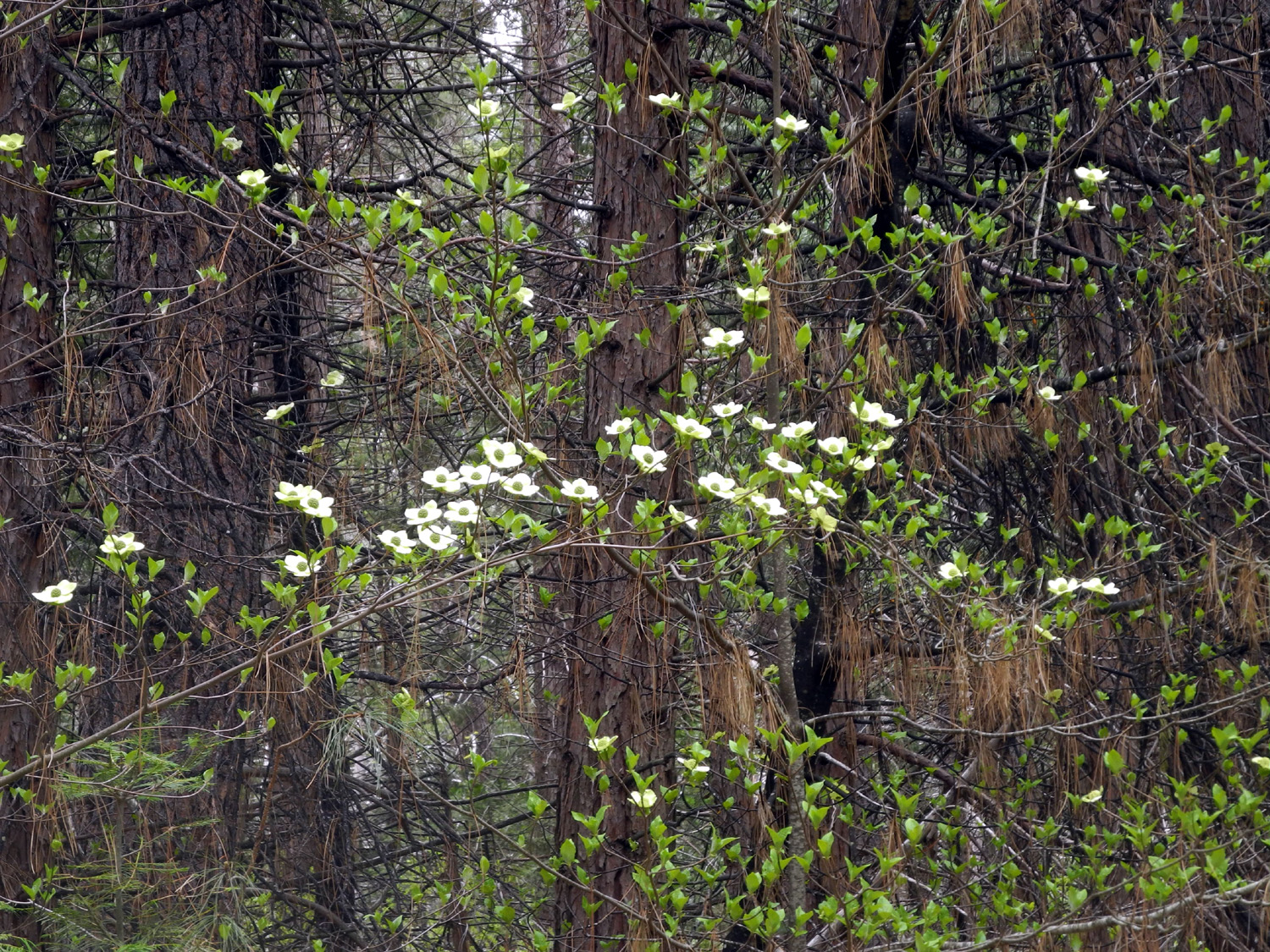
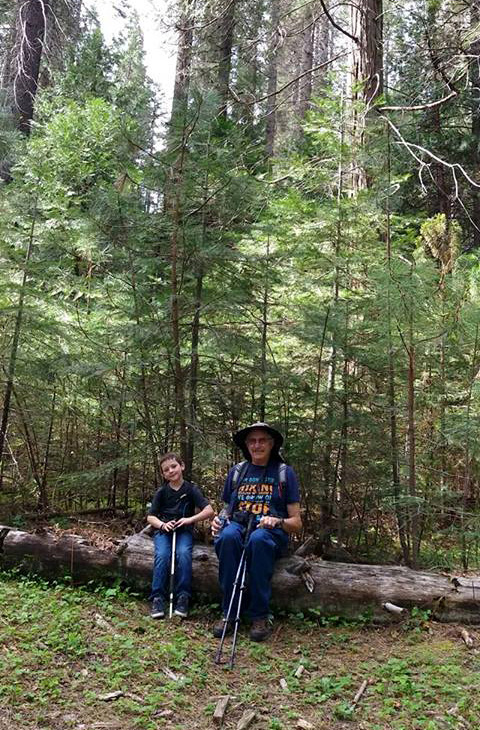
Wawona Hike and Camp My daughter Teri has been organizing hikes in the Sierra mountains and foothills for the last couple of years. Maybe "organizing" is the wrong word. She posts a notice on Facebook saying when and where, a group of her friends (and friends of friends) have access, and whoever shows up does the hike. While the group is mostly women, due to my connections I've been invited, and have been able to make most of them. On May 5 the destination was Wawona in Yosemite National Park, and her grandson Colton was also invited. |
||
 |
 |
 |
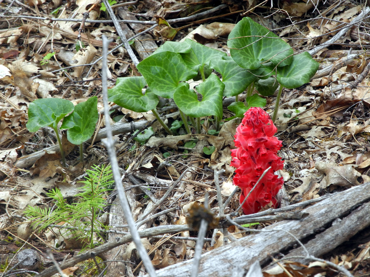
| Chlorophyll-free, the snow plant adds a bright spot | Dick, Lucy, Emily,
Colton, Teri and Kara, holding Bella |
Colton Upshaw, trick rider |
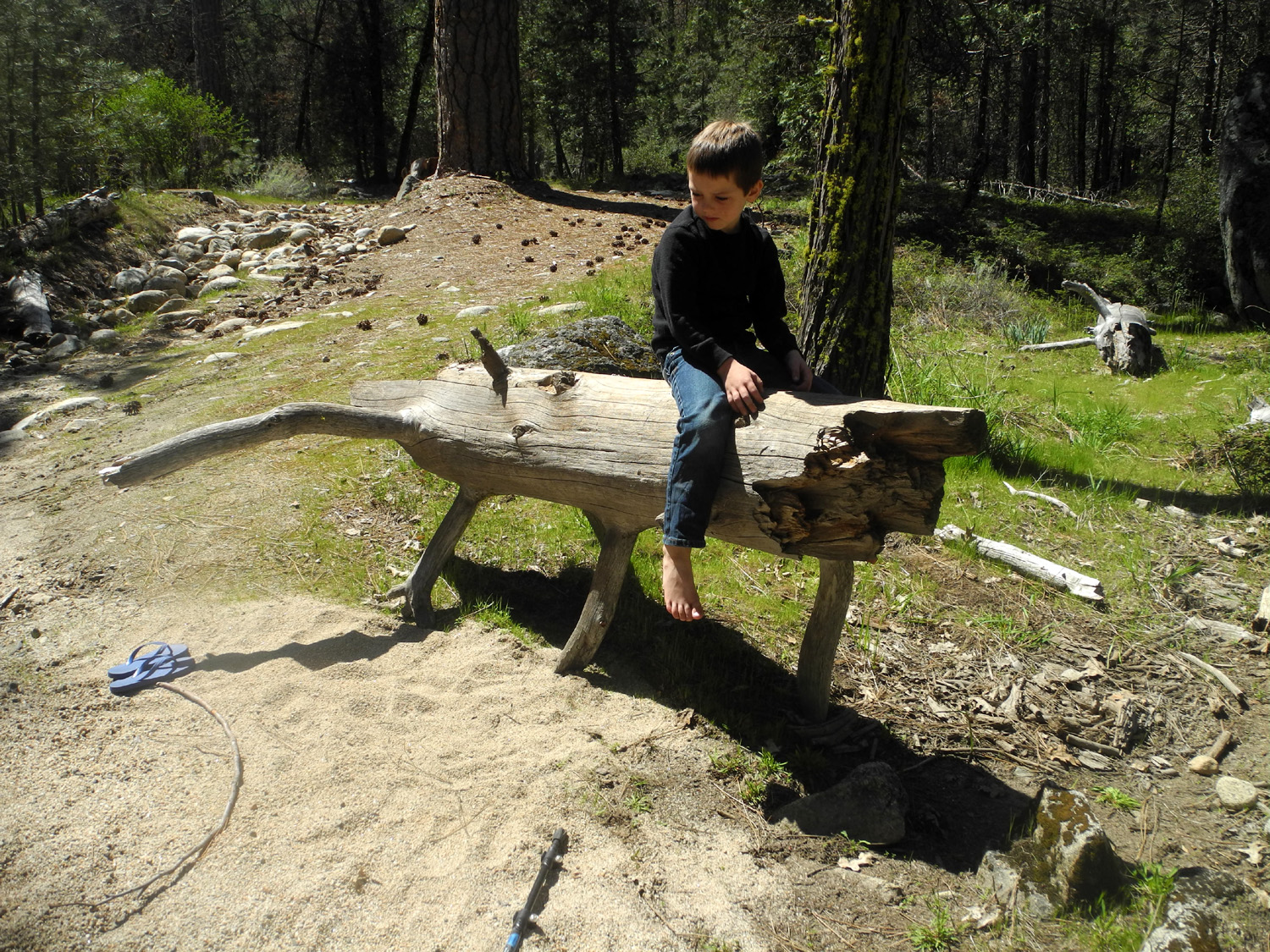
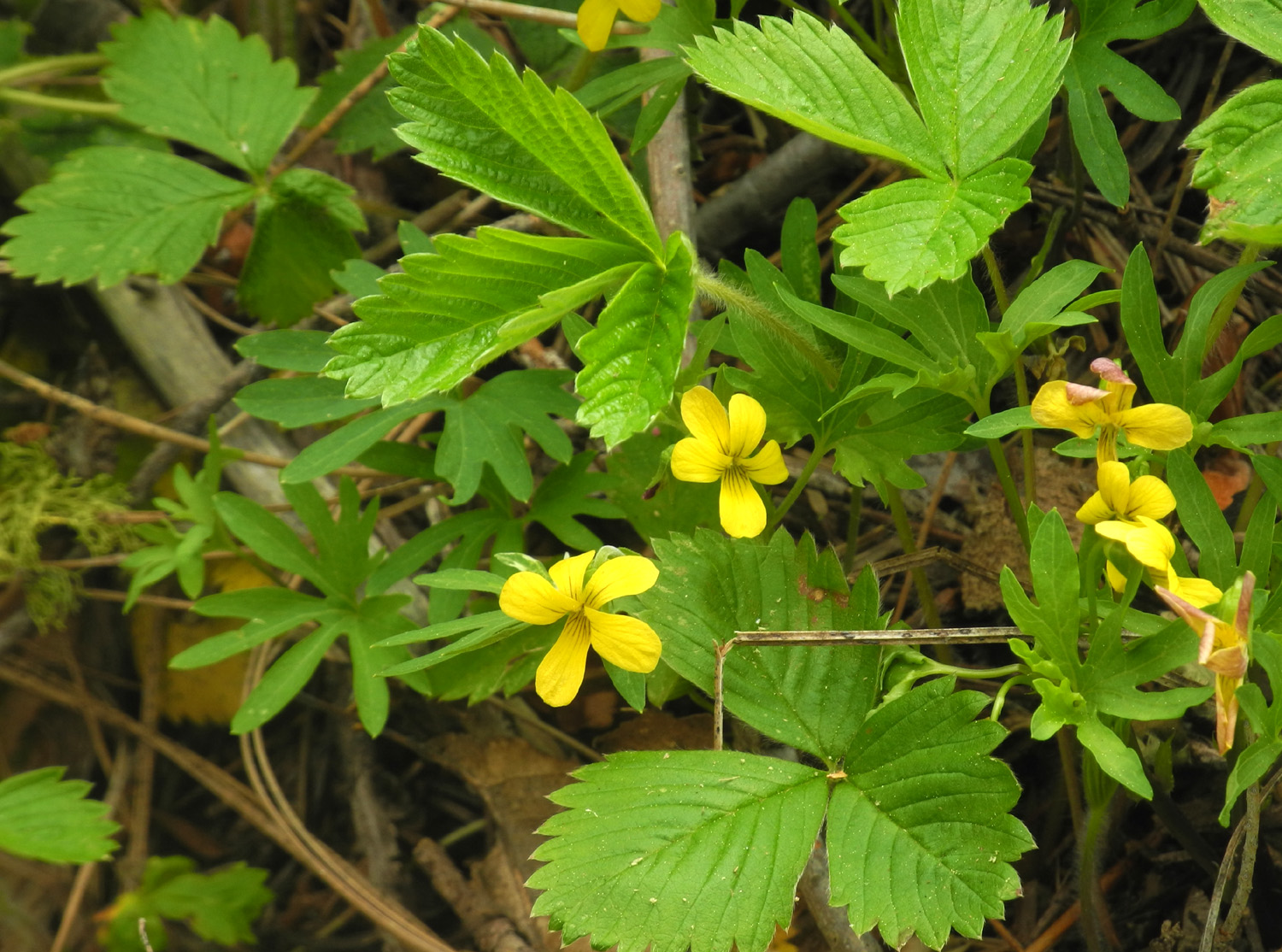
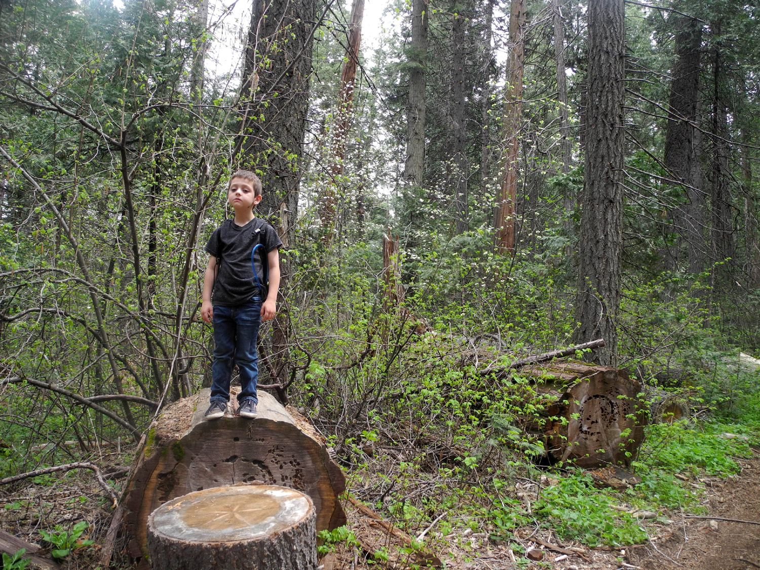
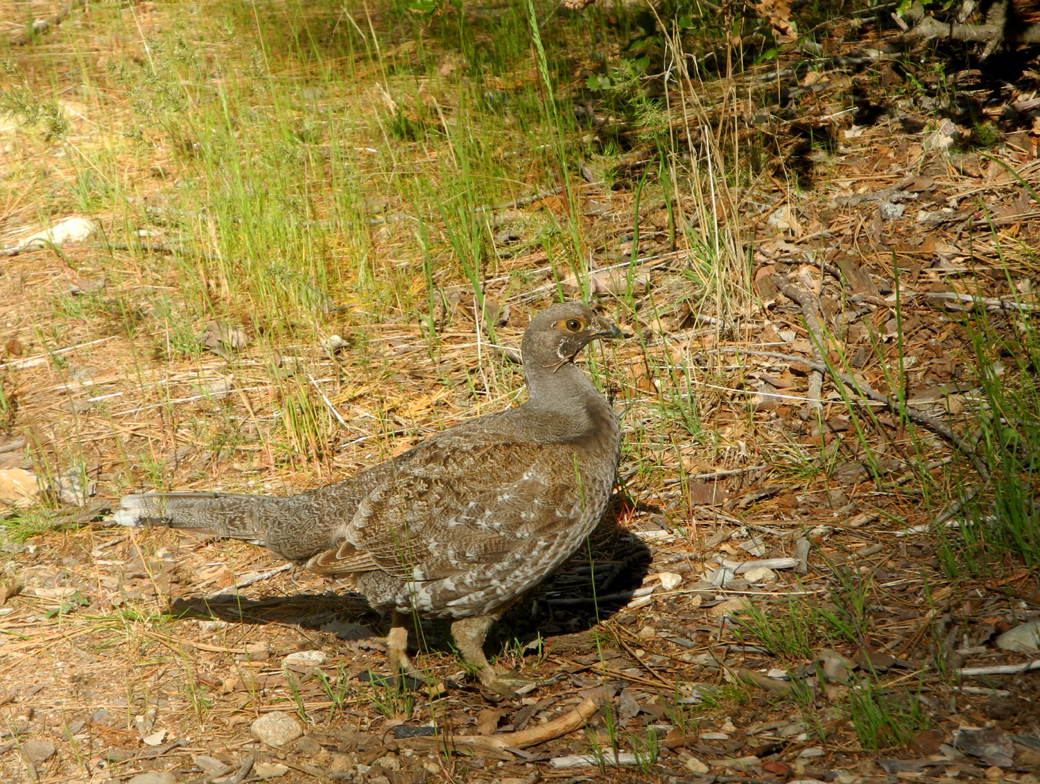
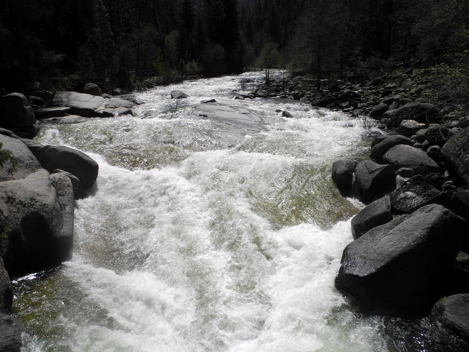
Teri drove up in her motor home on the 4th and spent the night at the Swinging Bridge trailhead, about two miles from the highway. On the morning of the 5th I picked up Colton at 7:15 and drove up Highway 41 to the parking lot at Forest Road where Teri was waiting. We were also joined by Kara, Lucy and Emily. I've been on other hikes with Emily, but had not previously met the other two ladies. Our plan was to hike the Wawona Meadow Loop, a distance of a little more than four miles. I was not sure if Colton would be up to this long a hike (it's right at MY limit), but his dad said "He can do it," and no one suggested that he couldn't. I privately thought to myself - it's fine to say he can do it, but Johnny would not be there to deal with any problems that might come up. We got started a little after 9 a.m., crossing the section of the meadow that has been made into a golf course. The trail then goes north on the west side of the meadow through a forest of ponderosa pine, cedar, firs, black oaks, and dogwood. There are numerous plants and bushes, most of which I can't identify, and quite a few wild flowers. About a mile into the hike Colton asked me when we would be going back. I realized that he's used to trails where we walk in then back out; this was his first time on a loop trail. I explained that the trail was a circle, and we would get back to where we started. I also suggested to Teri that we have a rest and a snack, which I think was what he really wanted. This proved to be effective, and we were soon on our way again. Near the mid-point of our walk we found a large rock with room for all six of us to sit while we had lunch. After a group photo nearby, we continued our journey, with one more short snack break for Colton. This trail is close to level, with just a little up and down. There are views of the meadow at various places along the way, and enough variation in the terrain and vegetation to make the entire trip interesting. The last quarter mile is the most challenging, not because of the hiking, but because you have to walk right along the side of the main road. Most drivers obey the 35 MPH speed limit and are aware that the area has a lot of pedestrian traffic, but it's still necessary to be alert along this stretch. We got back to the motor home about 1:30, with two and a half hours of actual walking time, and total mileage of 4.23. Colton was disappointed that Kara, Lucy and Emily were not going to camp with us, but their plans were for a day trip only. We said our goodbyes and drove the short distance into the woods and our campsite at the trailhead. We didn't do any more hiking that day, just had fun hanging out around camp. Colton set a new record for altitude with the Stomp Rocket, and Teri fixed us a delicious dinner. I did take a short walk by myself on the Swinging Bridge trail, going about half way to the bridge. The next morning we had a visit from a grouse that wandered under and around the motor home, and stayed near us for at least five minutes. After breakfast Teri left, and Colton and I hiked to the Swinging Bridge. He was sad about Teri not being with us, but when we arrived at a small creek that crosses the trail his attitude improved 100% and he played in the creek for several minutes. We continued on to the bridge, went across, enjoyed looking at the rushing river, and started back. On our previous visit on December 31 we had noticed a small fallen log that had limbs just right to stand it up and create an "animal" that could be climbed on and "ridden," so Colton spent quite a bit of time at this spot. We got back to my car and headed for home. Driving through Oakhurst we had a long delay. There was an accident at the Highway 41/49 junction, and it took us over a half hour to get through town. At some point I said to Colton, “we’re finally going home.” His reply: “I don’t want to go home, I want to go to downtown Clovis and go to the museum and ice cream place.” (This was what we had done returning from the cabin a week earlier). When we got to Highway 45 about 15 miles from home, I stopped and called Brittany, his mom, and invited her and brother Jack to join us for ice cream. Colton slept most of the way home, and was hard to wake up when we got to Clovis . We had to wait about five minutes for Brit and Jack, and Colton fell asleep again sitting at one of the outdoor tables. After Jack and Brittany arrived, he got woke up pretty good and enjoyed his ice cream. Colton is a creature of habit, and I suspect he will want to go to Scoops after every camping trip from now on. Of course, I don't think I can complain too much about having to eat ice cream.
|
||
|
Photos (Click to enlarge; pictures open in new window) |
||
|
Camp Four and a Half Photos San Joaquin Gorge Bridge Trail San Joaquin River Trail West Back to the Cabin Wawona Hike & Camp |
||
|
Camp Four and a Half Cabin (photos by Brittany Upshaw, Wes Thiessen and Dick Estel) |
||
 |
 |
 |
| Secata Falls | Picking wildflowers | Colton and Jack ready for a hike/ride |
 |
 |
 |
| Exploring the creek | Teri helps Jack on the gate | Jack with rocks and a stick |
 |
 |
 |
| Colton did a lot of digging | Covering the rock with wet sand | The finished project |
 |
 |
 |
| On
Friday the trees were in the water, but by Sunday the river had dropped enough to leave them on land |
Patterson Falls by the Black Rock Road | |
 |
|
 |
| Water ran down the
rocks everywhere (by Brittany Upshaw) |
Teri, Mike, Johnny,
Colton and Jack check out the dam |
Black Rock Dam |
 |
 |
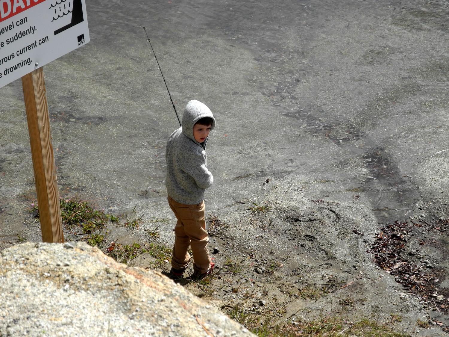 |
| The snow line was only a few hundred feet above us | The fishermen | Colton |
 |
 |
 |
| Gathering firewood | The fire felt good at the 4,000 foot elevation (BU) | Mill Flat Creek |
 |
 |
 |
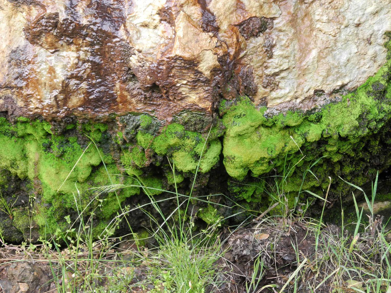
| Bright green moss and a wet rock | Wes along the road to Goofy Smith Flat | Debris line shows the water level during the storms a few days earlier |
 |
 |
 |
| This tree was a challenge for all of us | Teri took the most direct route (WT) | There was redbud everywhere |
 |
 |
 |
| A huge sycamore by the Kings River | A quarter mile from our camp, this stream deserved the name of Cabin Creek | A big buckeye dominates this view from our "back yard" |
|
 |
 |
| Corral across from the cabin | Sunday night sunset (WT) | Tom let it be known that he was Boss Bird (WT) |
 |
 |
 |
| Wes always stops to smell the flowers | Dick on the Kings River National Recreation Trail (WT) | Looking west down the Kings River from the trail |
 |
 |
 |
| Striking rock formation set off by clouds | Huge sycamore root seems to be reaching toward the river for a drink | Redbud in bloom by the river |
 |
 |
 |
| One of many huge valley oaks near the cabin | Lupines at Green Cabin Flat campground | Brilliant sunset clouds |
 |
 |
 |
| Ths seasonal falls appears only after big rains | Poppies above Trimmer Springs Road | Fiddlenecks beside Pine Flat Lake |
| San Joaquin Gorge Bridge Trail | ||
 |
 |
 |
| Lupine along the road into the Gorge | The ubiquitous filaree | Dead branches among all the new life |
|
 |
 |
| Fiddlenecks against the sky | Close-up shows how fiddleneck got its name | Phecelia up close |
 |
 |
 |
| The section of the trail I call Lupine Point | Bush lupine at the point | Baby blue eyes close-up |
 |
|
 |
| Poppies appear in only a few locations | Redbud near the bridge | A slightly rare tan-colored lizard |
 |
 |
 |
| Dick resting near the trail junction | The bridge and the murky San Joaquin River | A classic spring scene |
| San Joaquin River Trail West | ||
 |
 |
 |
| Quail at the start of the trail | Fiddleneck close-up | Purple brodiaea |
 |
 |
 |
| Clouds over the ridge | Blue oaks abound along the trail | The upper part of the trail is the place to see lots of bush lupines |
 |
 |
 |
| Poppies, phecelia and a lupine | My reward for going cross-country was this log house | Bull pines and clouds |
 |
||
| Mostly fiddlenecks and popcorn flowers | ||
| Back to the Cabin | ||
 |
 |
 |
| Colton at the Edison Point trailhead | Dick on the trail | Hills above Pine Flat Lake are quickly turning brown |
 |
 |
|
| On the steps at the "waterworks" | View of the dam from below | Colton on the dam |
 |
 |
 |
| Poppies on the hill across from the cabin | Here's where we
compare water levels (compare March levels here) |
The Yellow Submarine works on sand also |
 |
 |
 |
| The slanted rock, washed clean | Gathering wet sand | Re-covering the rock |
 |
 |
 |
| The slanted rock,
restored to it's proper sandy condition |
Better than swinging on a star | The Kings River near the cabin |
|
 |
 |
| Chinese houses | Harvest brodiaea | This flower needs to be identified |
 |
 |
 |
| Globe lilies | Colton on the road near the cabin | Camp Four and a Half Cabin and a big valley oak |
 |
 |
 |
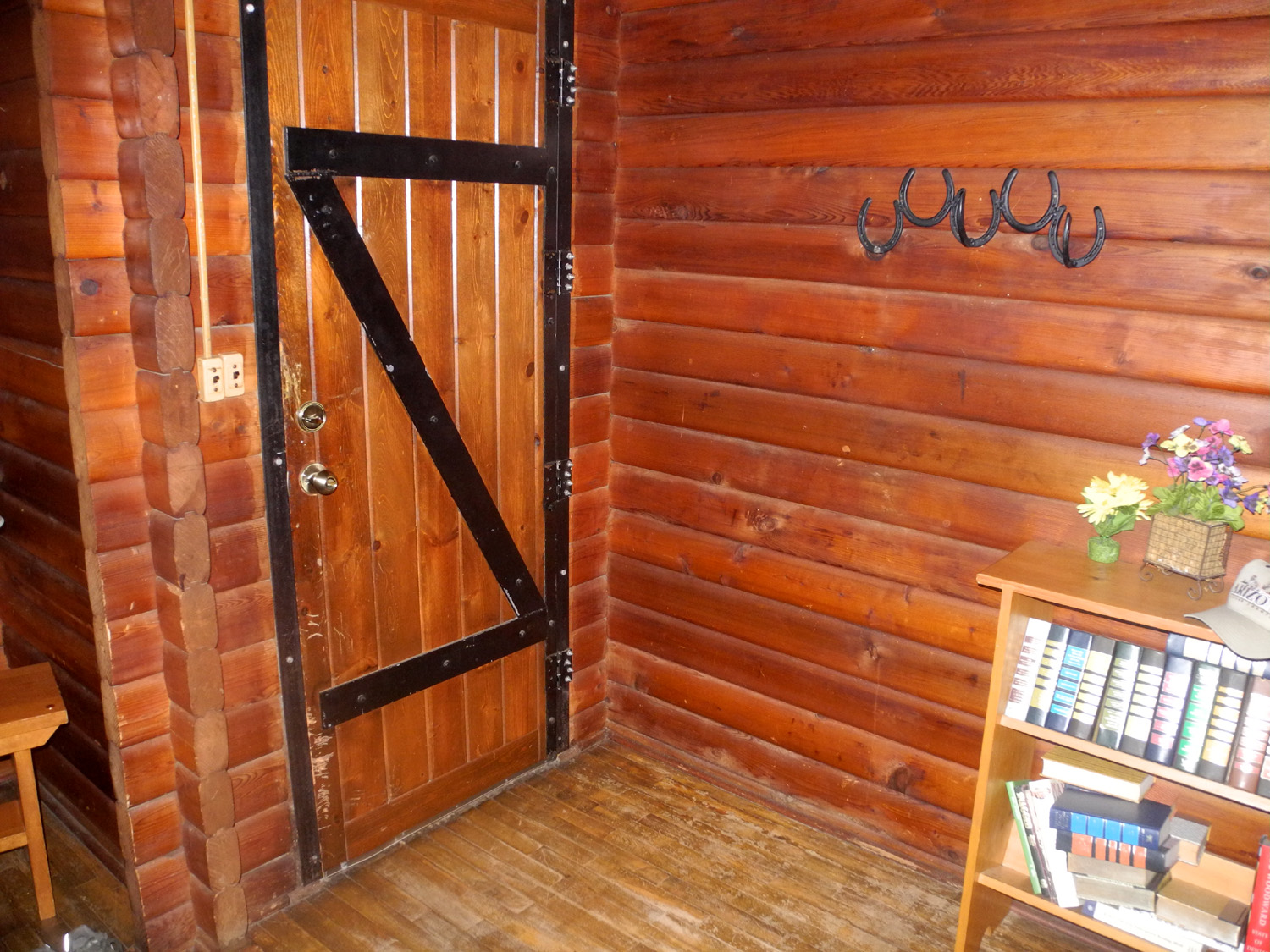
| Inside the cabin - front door | This painting emphasizes the western theme | Flowering bush along Trimmer Springs Road |
 |
 |
|
| Pine Flat Lake is up past the Sycamore Creek Bridge for the first time in decades | Back in Clovis - ice cream at Scoops | |
| Wawona Loop Hike and Camp (Photos by Kara, Colton and Dick) | ||
 |
 |
 |
| Colton near the start of the trail | The dogwoods were in full bloom | Close-up of 4-inch blossom |
 |
 |
 |
| Downed logs must be climbed | Colton and Dick enjoying a rest | One of the best things about hiking - crossing creeks |
 |
 |
 |
| The southeast corner of Wawona Meadow | An old rail fence surrounds much of the meadow | Typical view along the east side |
 |
|
 |
| Our camp visitor, a grouse | Riding the horse-log | South fork of the Merced River just above the Swinging Bridge |
 |
 |
|
| Dick on the bridge | Colton on the Bridge Trail | Yellow violets |
 |
||
| Indian pinks | ||
| Related Links | ||
| Camp Four and a Half Cabin | Cabin Creek Video | Garnet Dike Rafting |
| Kings River Trail | Black Rock Road | Kings River Wildflowers |
| San Joaquin River Gorge Special Recreation Management Area | All my reports on hiking and camping at San Joaquin River Gorge | San Joaquin River |
| San Joaquin River Trail | Millerton Lake | Sky Harbor Hiking |
| Wawona | Yosemite National Park | Swinging Bridge |