| Dick's
Photos from Yosemite, Sequoia and Kings Canyon National Parks |
||
| More
Sierra Nevada Area Photos:
Central Sierra Nevada Kings & San Joaquin Rivers Death Valley Eastern Sierra |
||
|
New photos added here July 17, 2026 (captions in red) |
||
|
Visit the Travel Menu for links to lots more photos |
||
|
Yosemite Sequoia & Kings Canyon Links to More Photos Click pictures for a larger view - photos open in new window |
||
| Yosemite Region | ||
 |
 |
 |
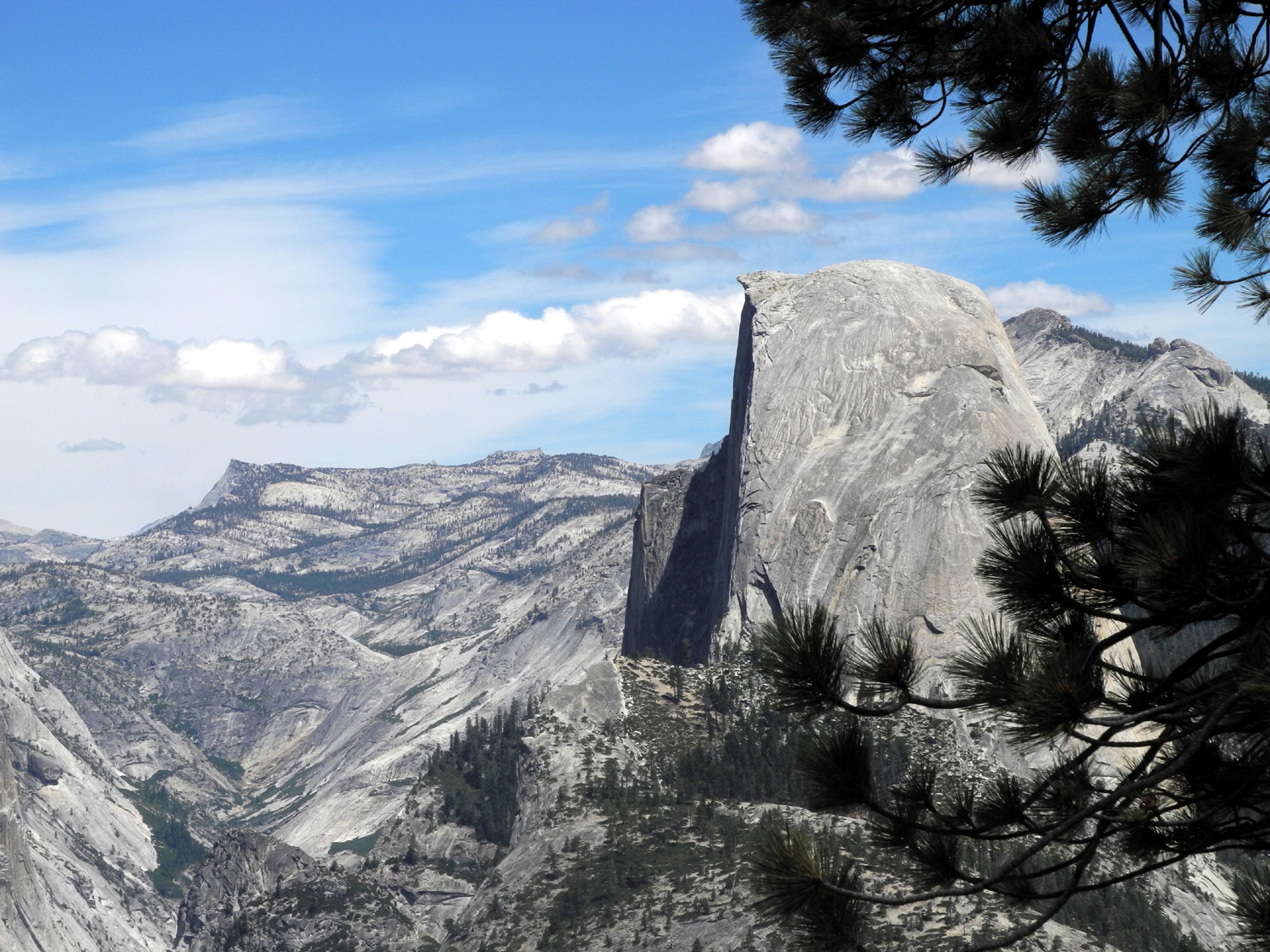
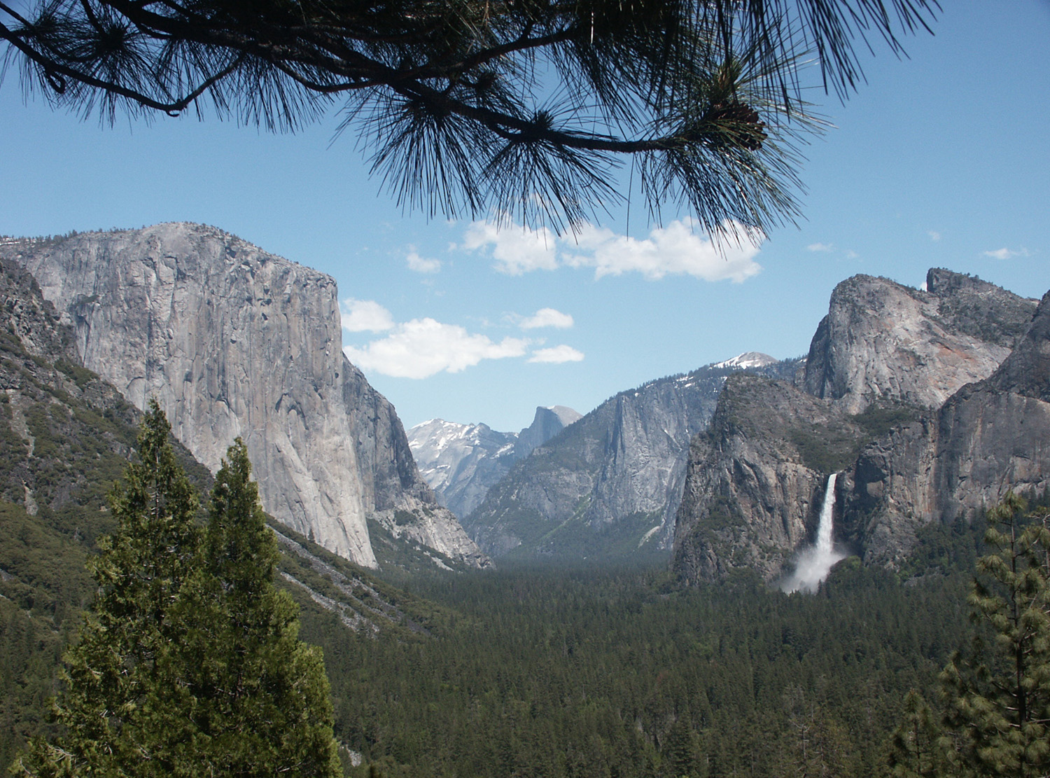
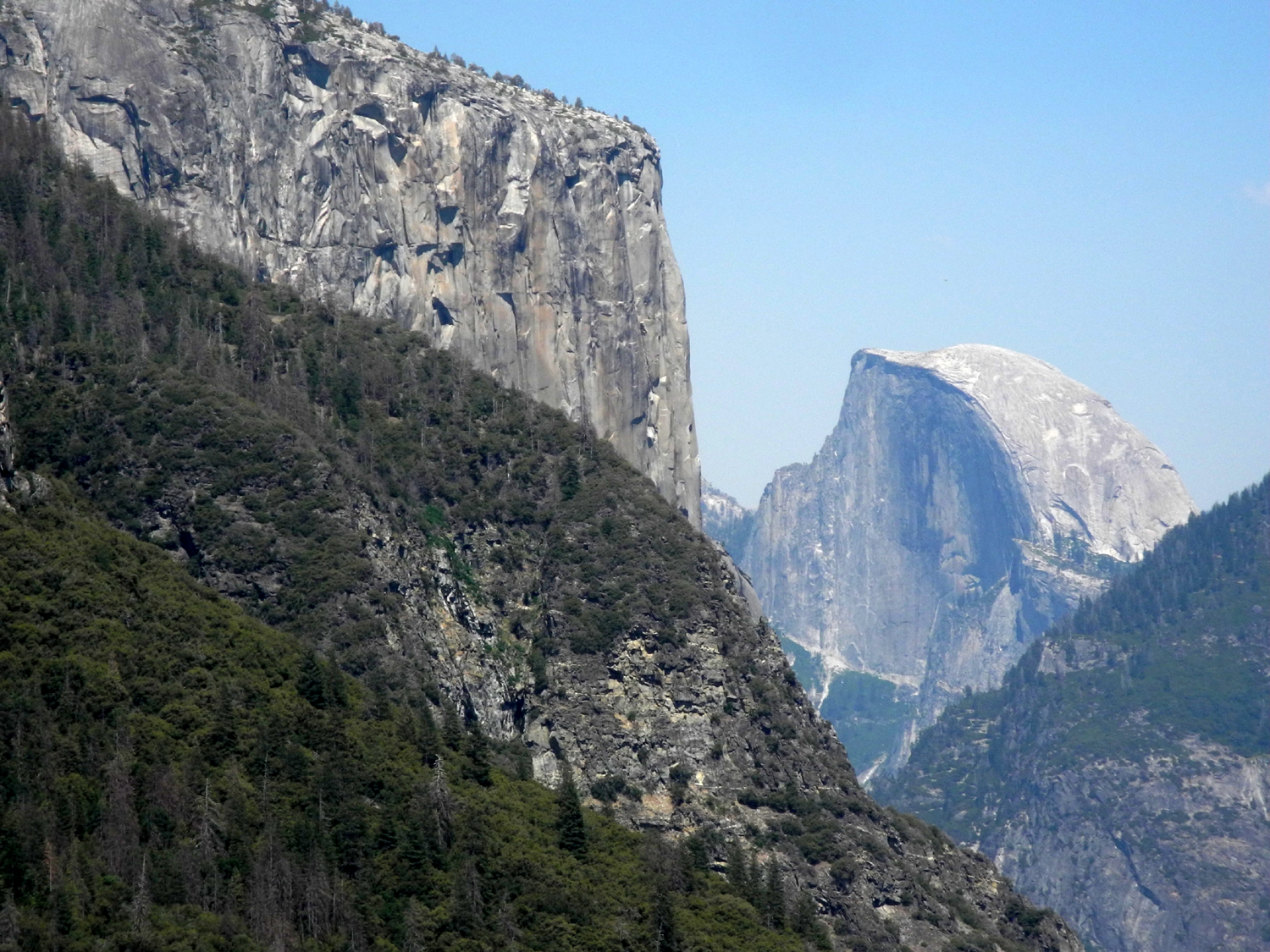
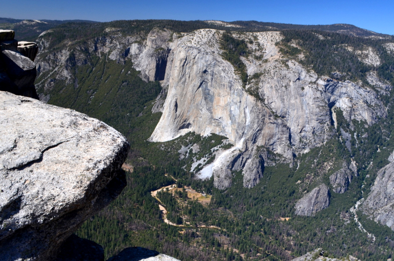
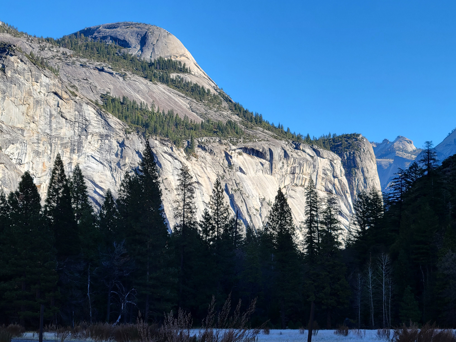
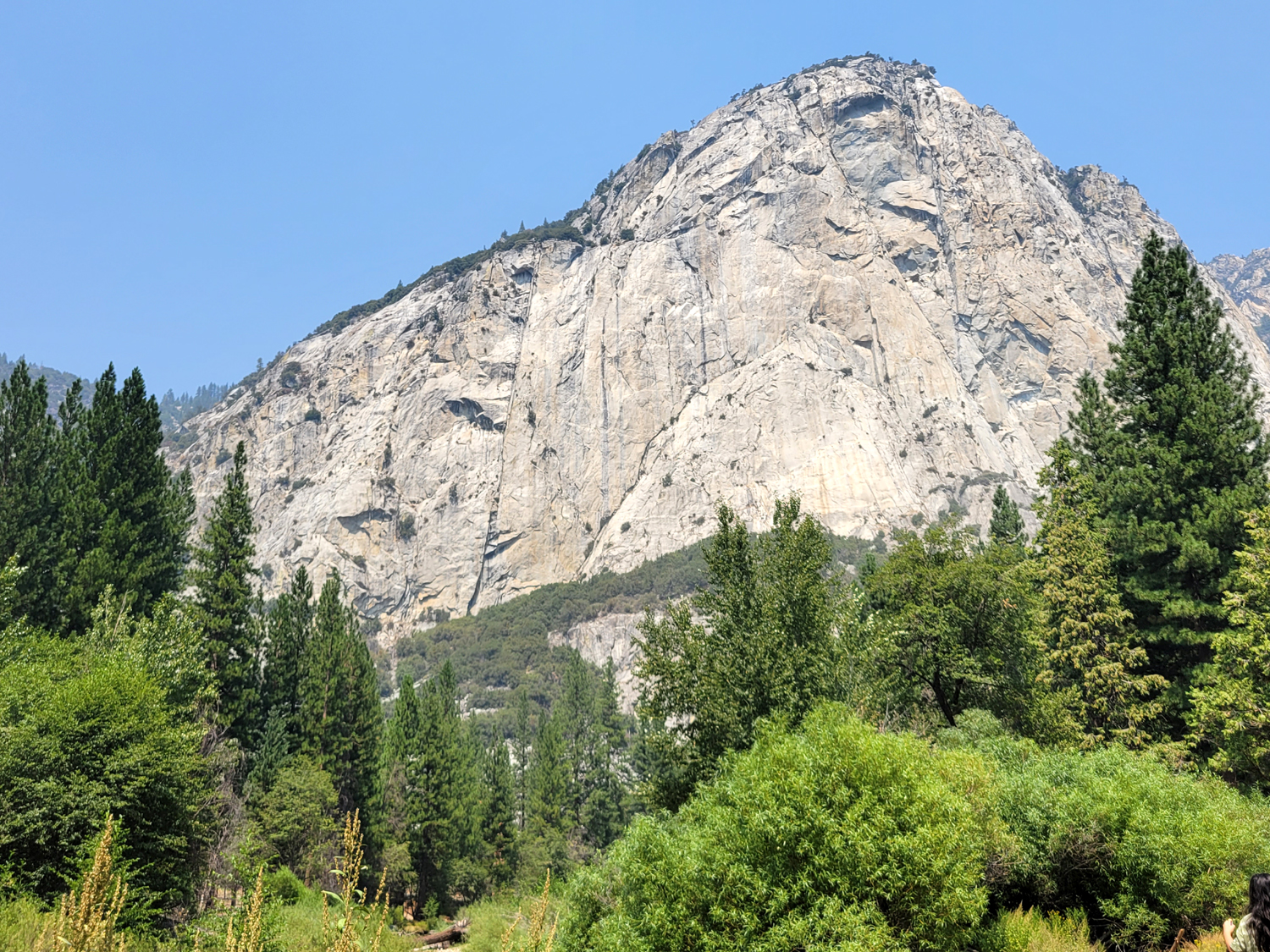
| Classic view of Yosemite Valley from Wawona Tunnel | El Capitan | Half Dome |
 |
 |
 |
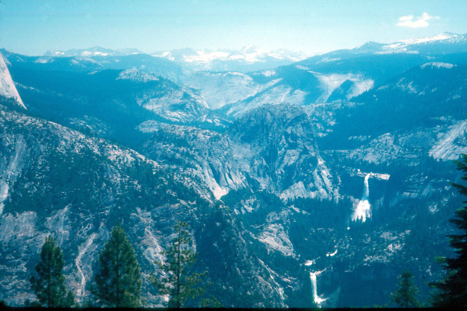
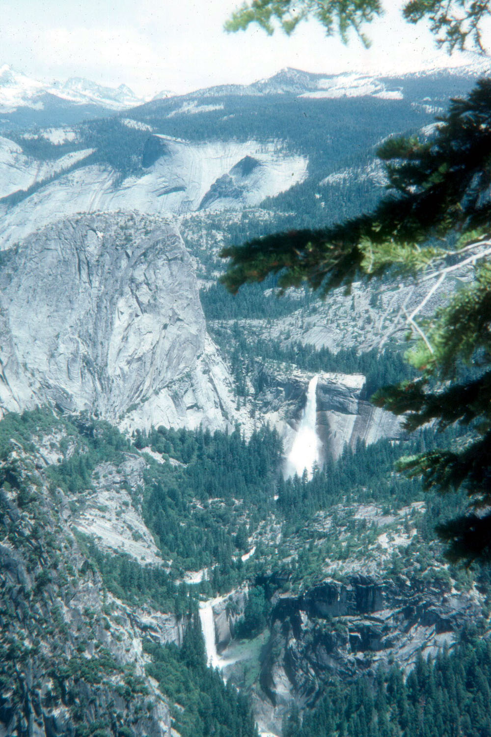
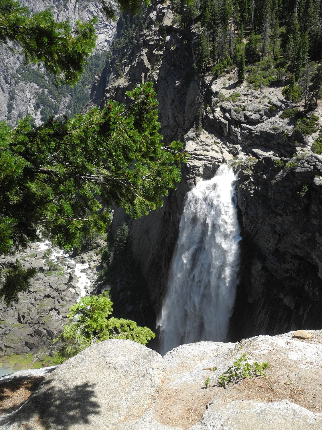
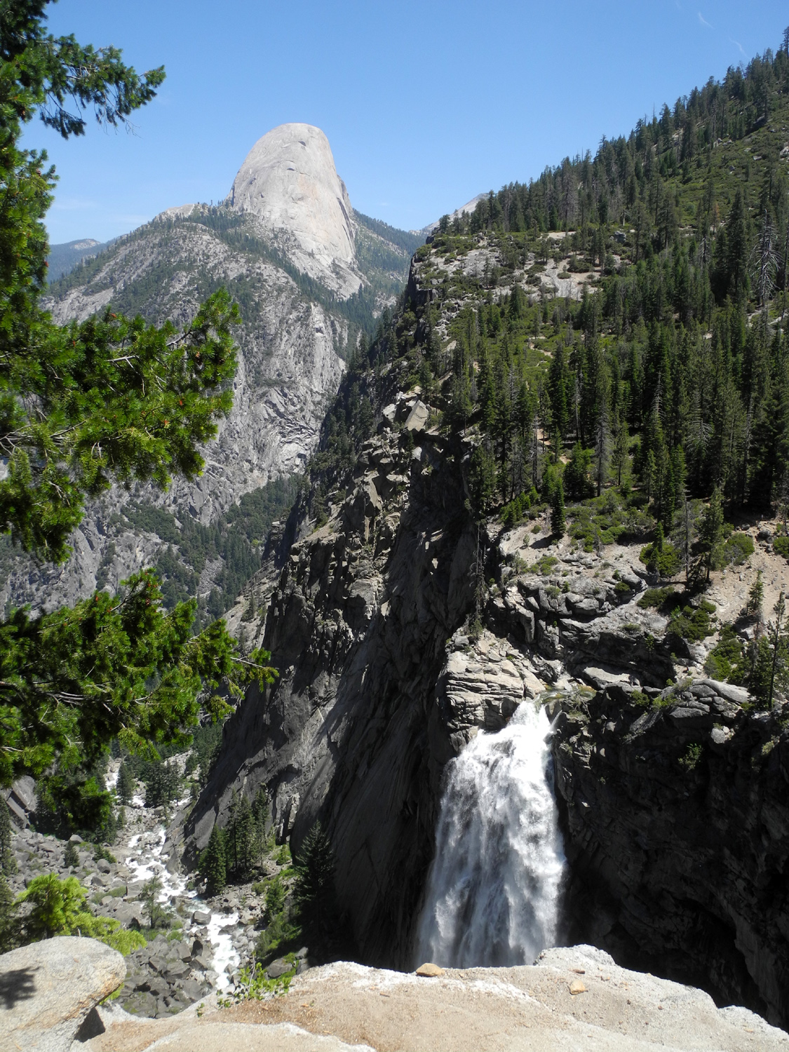
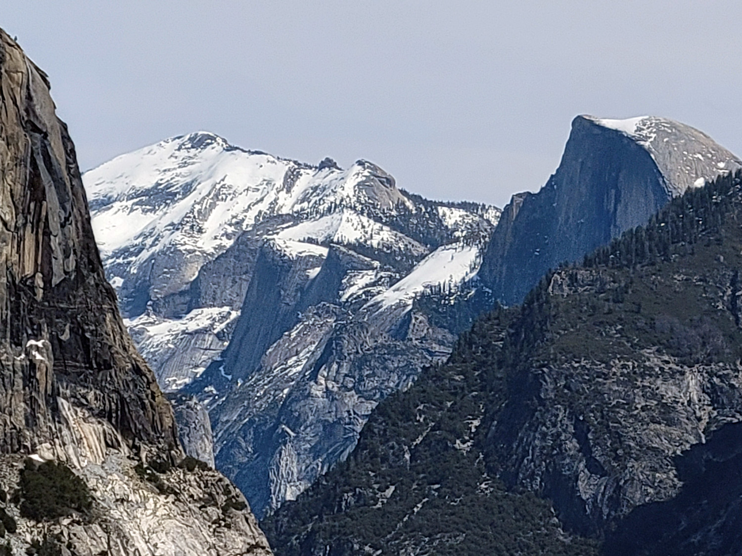
| Vernal and Nevada Falls from Glacier Point | Bridalveil Falls | Half Dome from Washburn Point |
 |
 |
 |
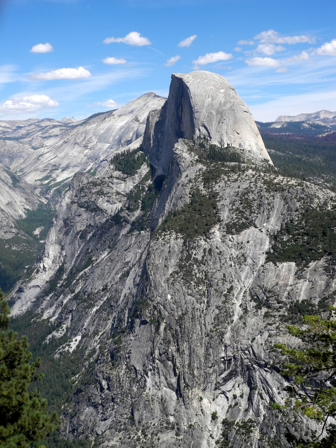
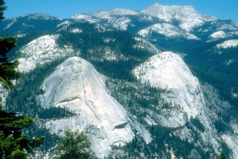
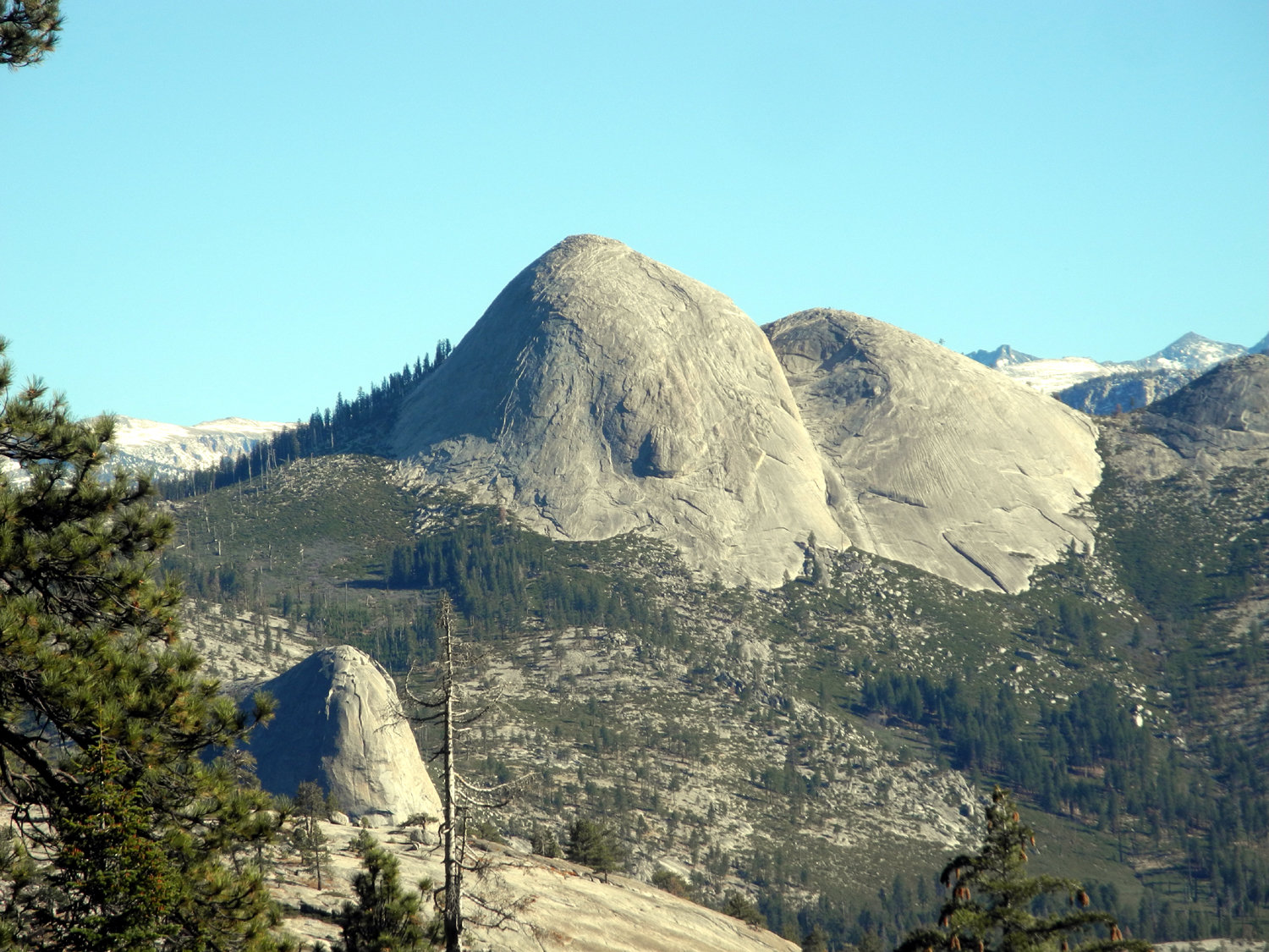
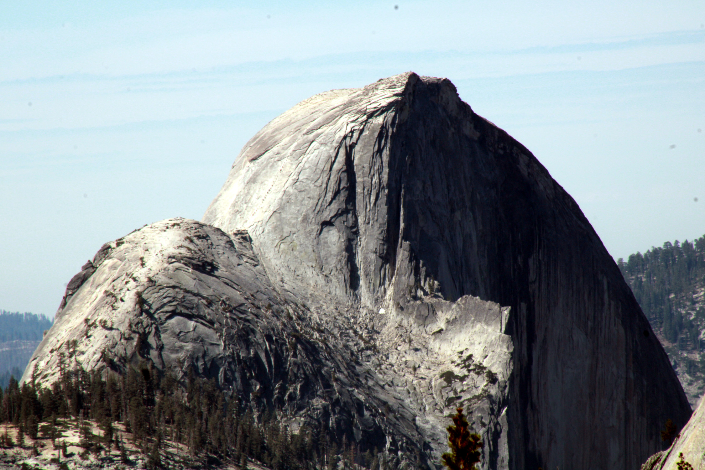
| North Dome and Basket Dome from Glacier Point | Half Dome Close up | Another view of Vernal and Nevada Falls |
 |
 |
 |
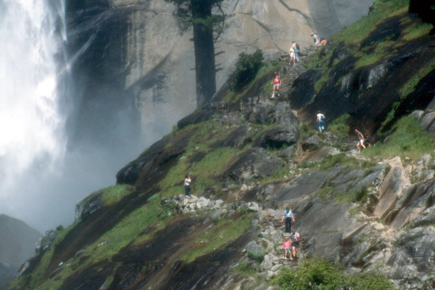
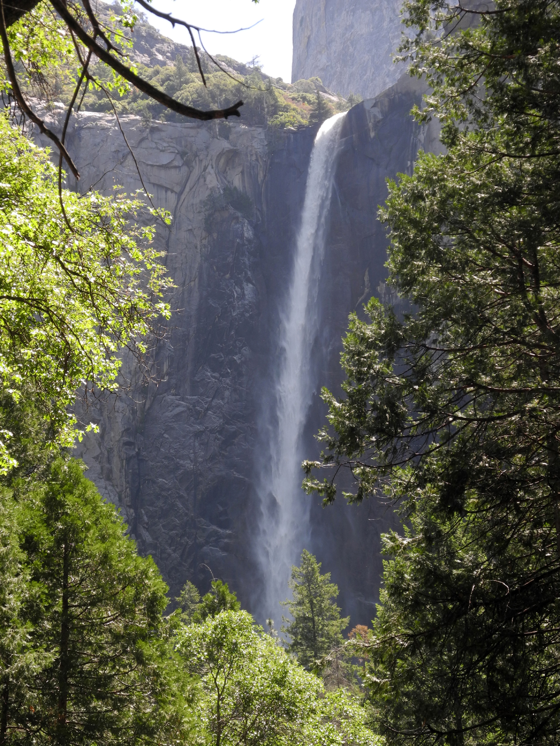
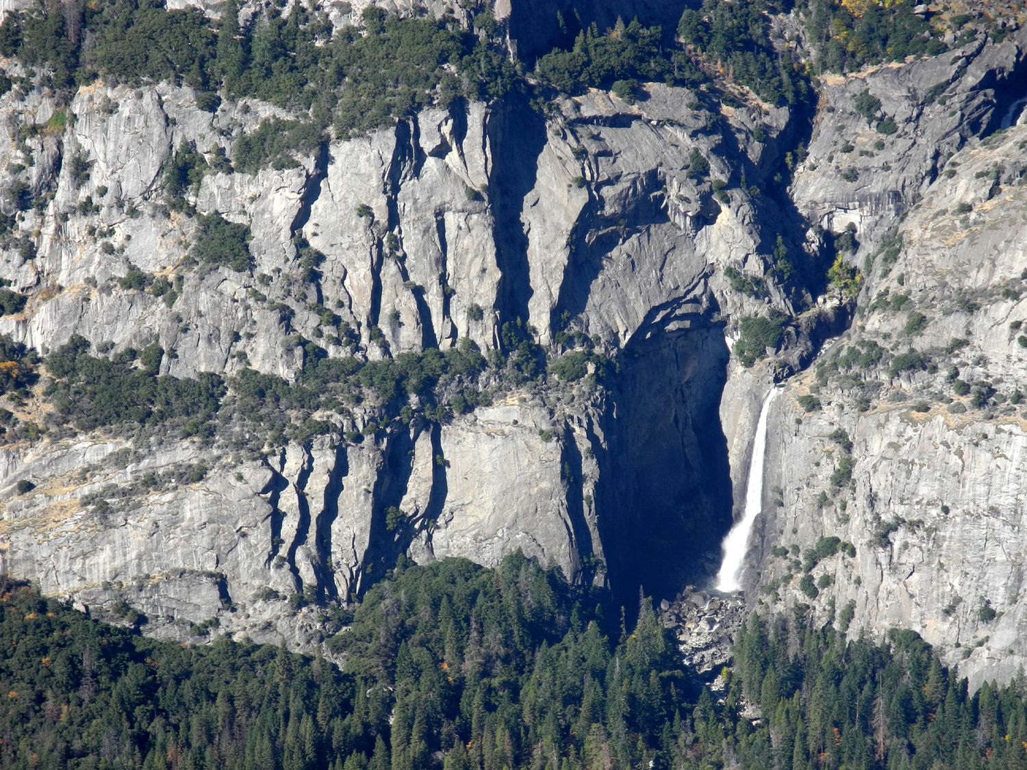
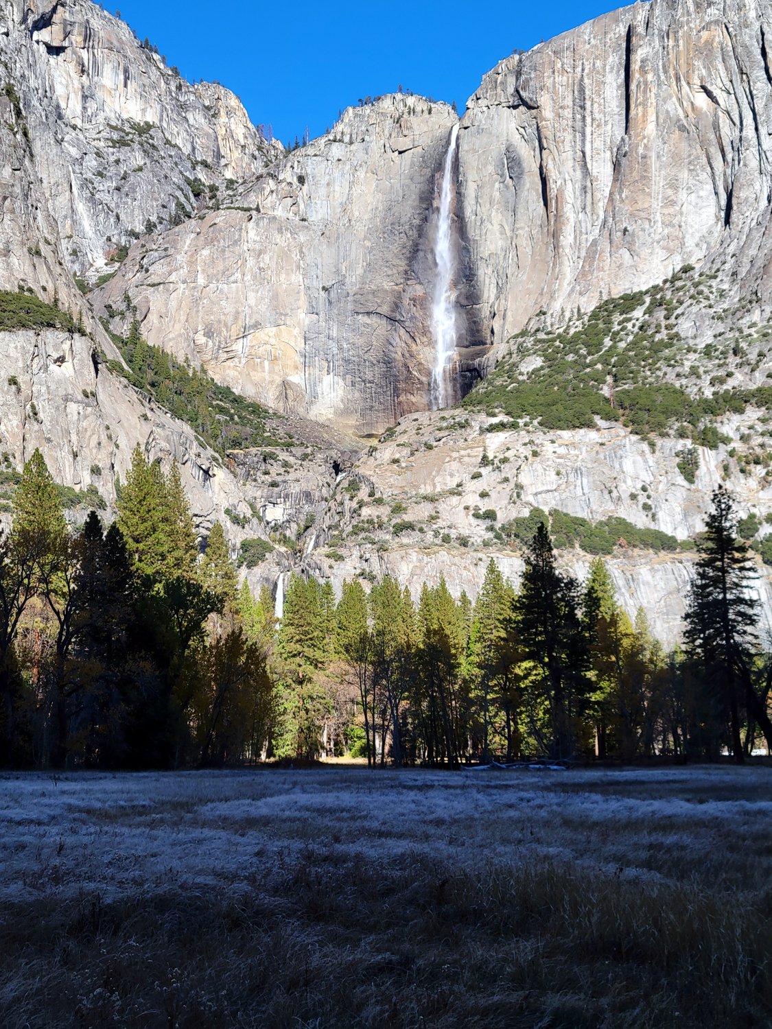
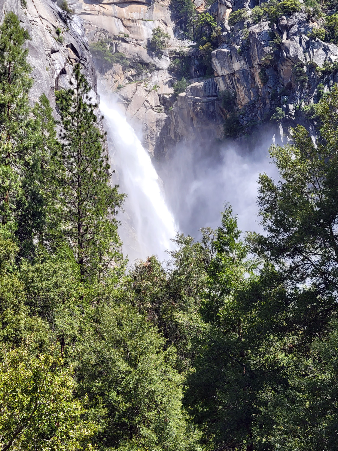
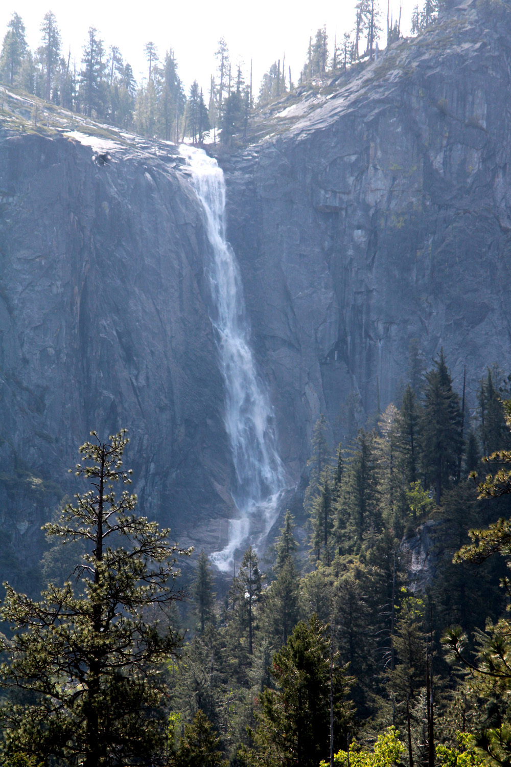
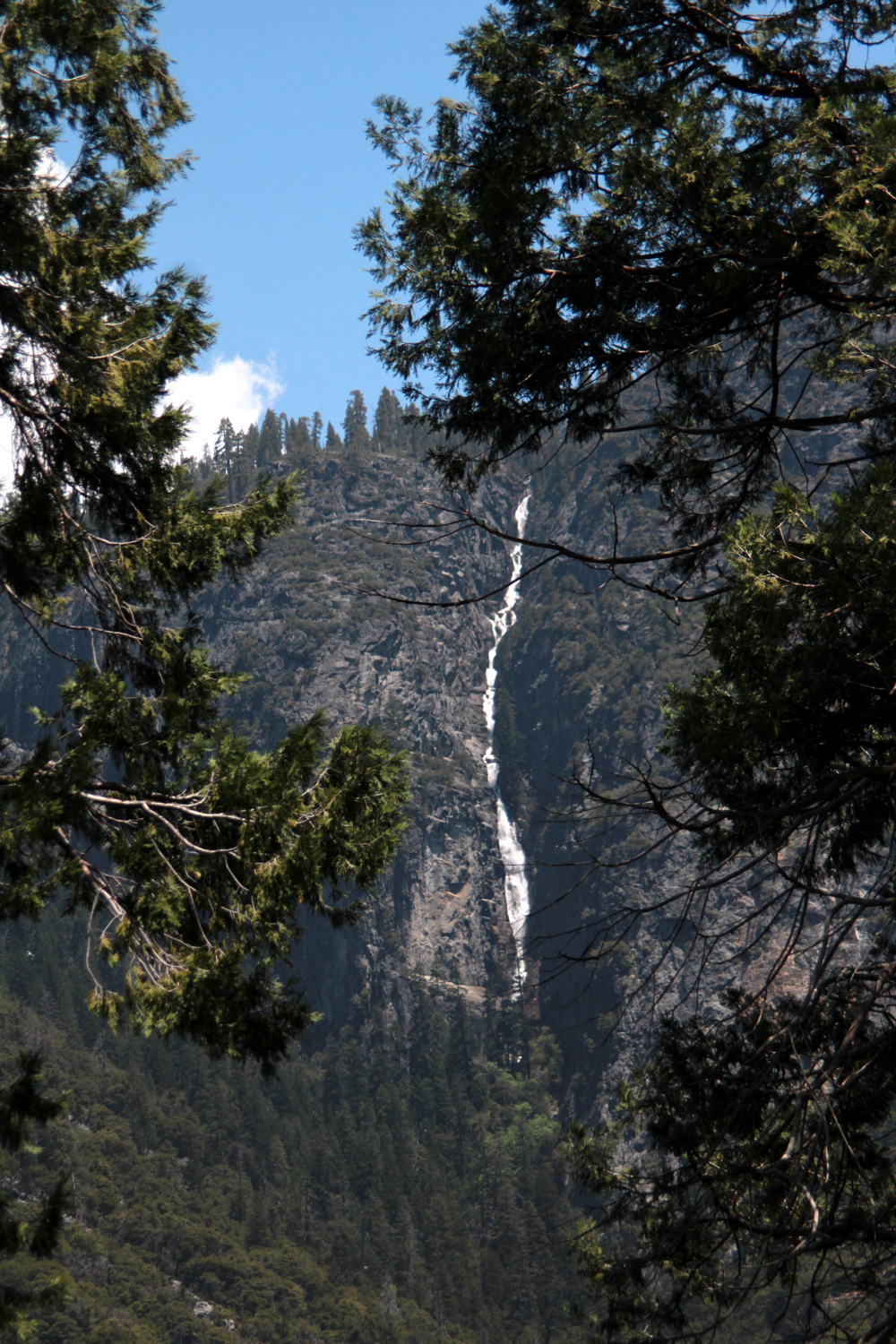
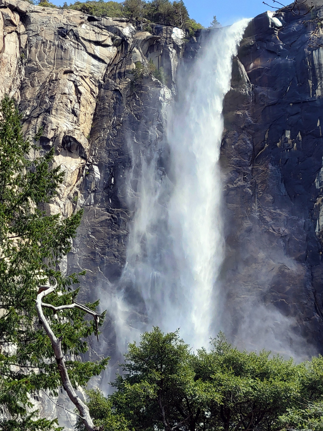
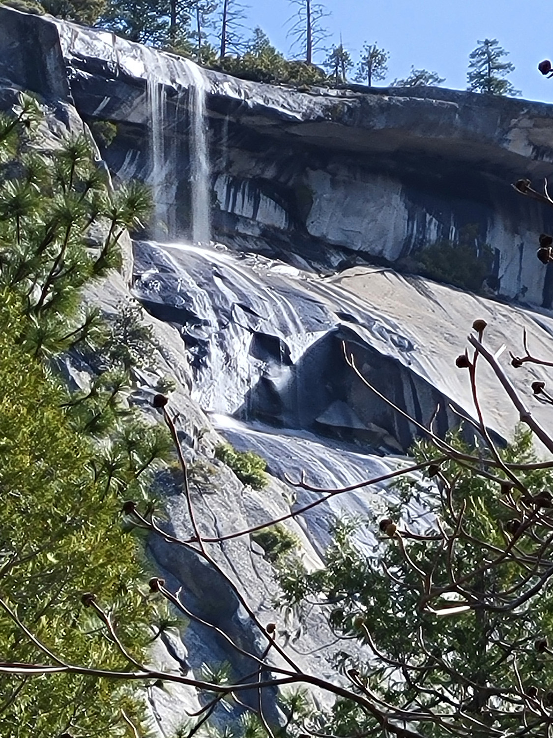
| Mist Trail, base of Vernal Falls | Bridalveil Falls, Spring 2006 | Yosemite Falls, Spring 2006 |
 |
 |
 |
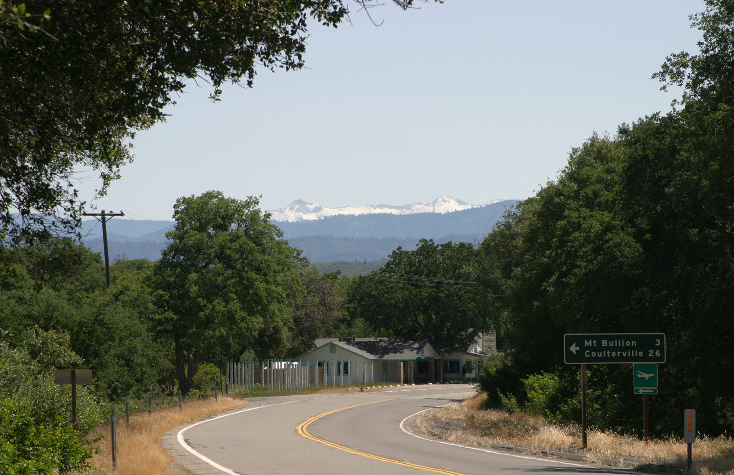
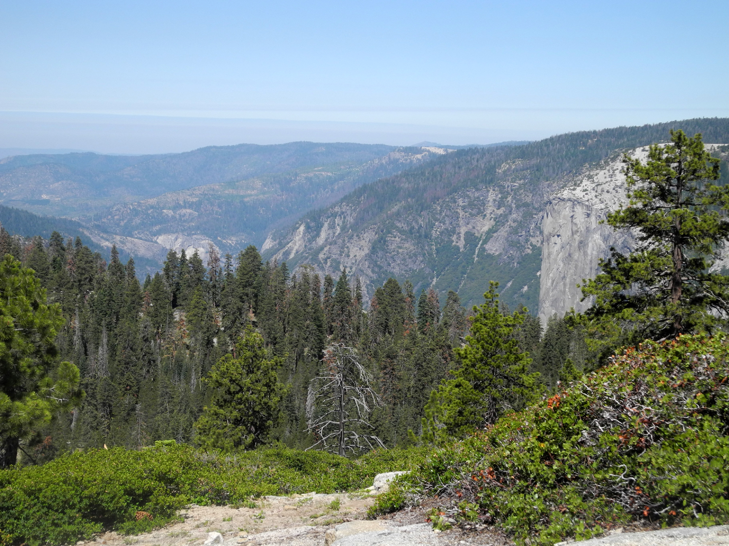
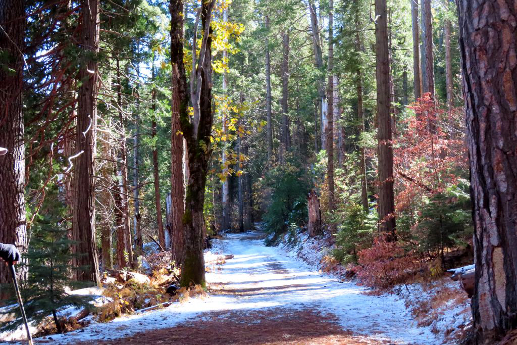
| Yosemite high country from Highway 140 west of Mariposa |
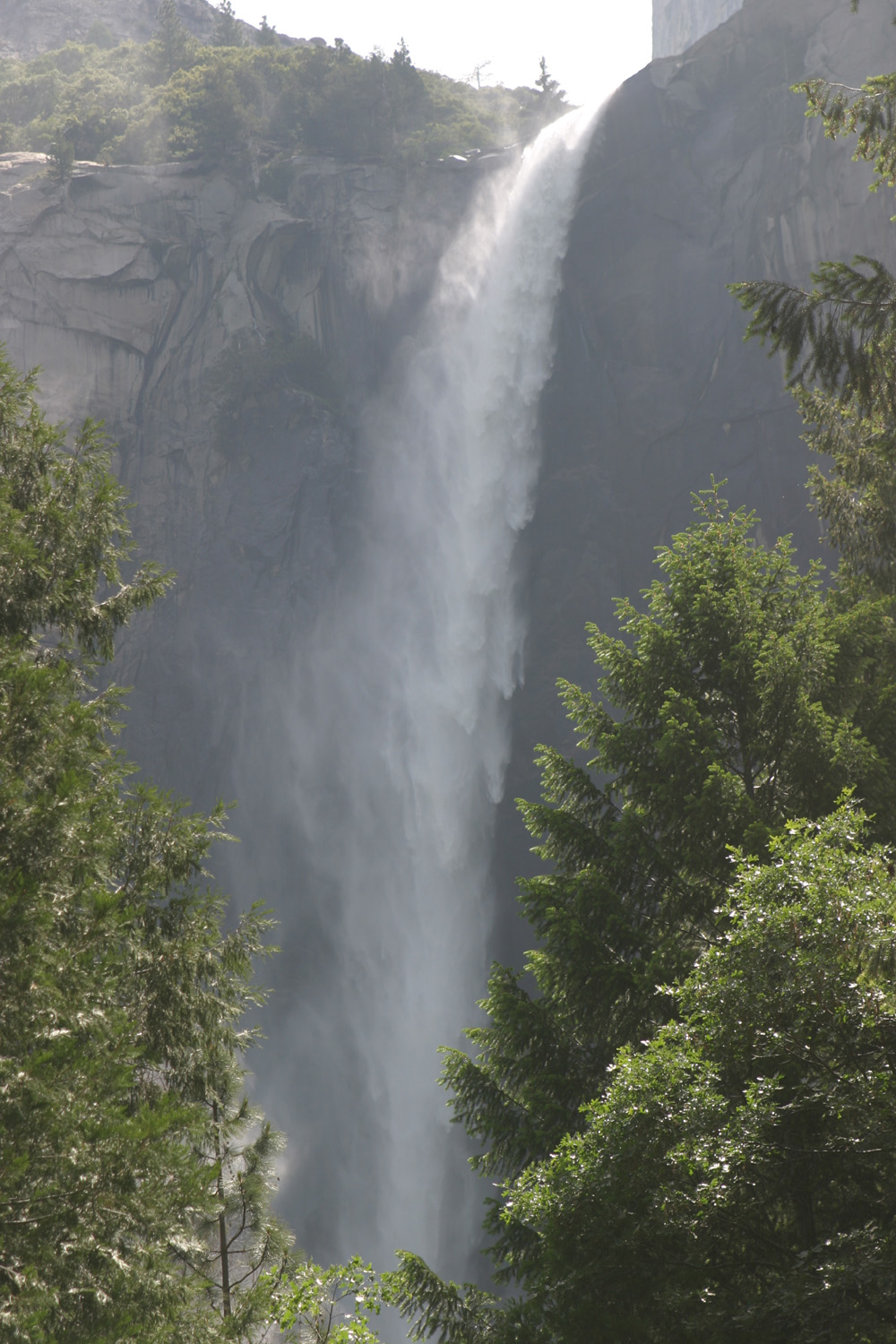
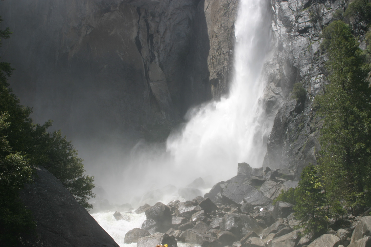
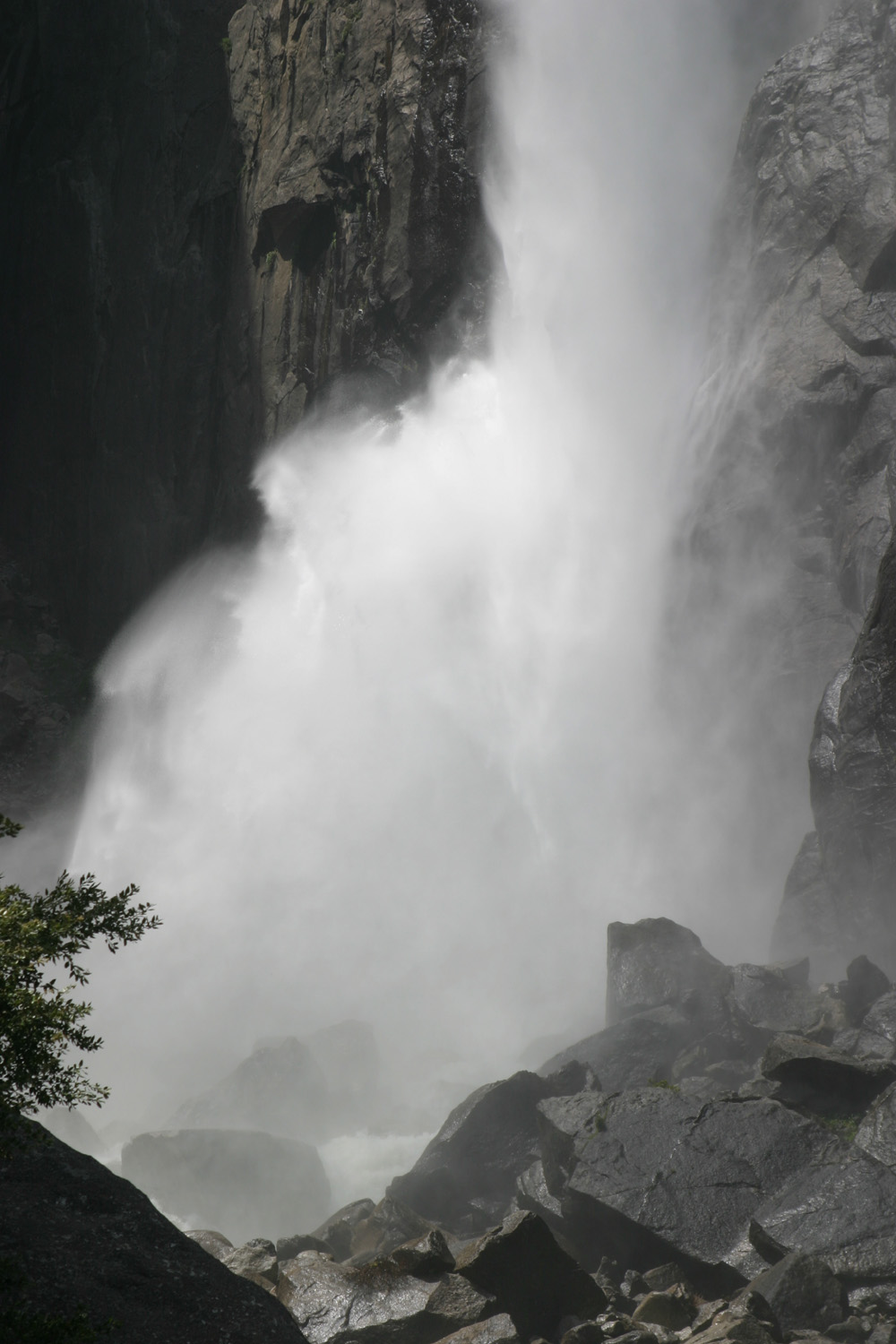
Base of Lower Yosemite, peak runoff, June 2006 |
A closer view |
 |
 |
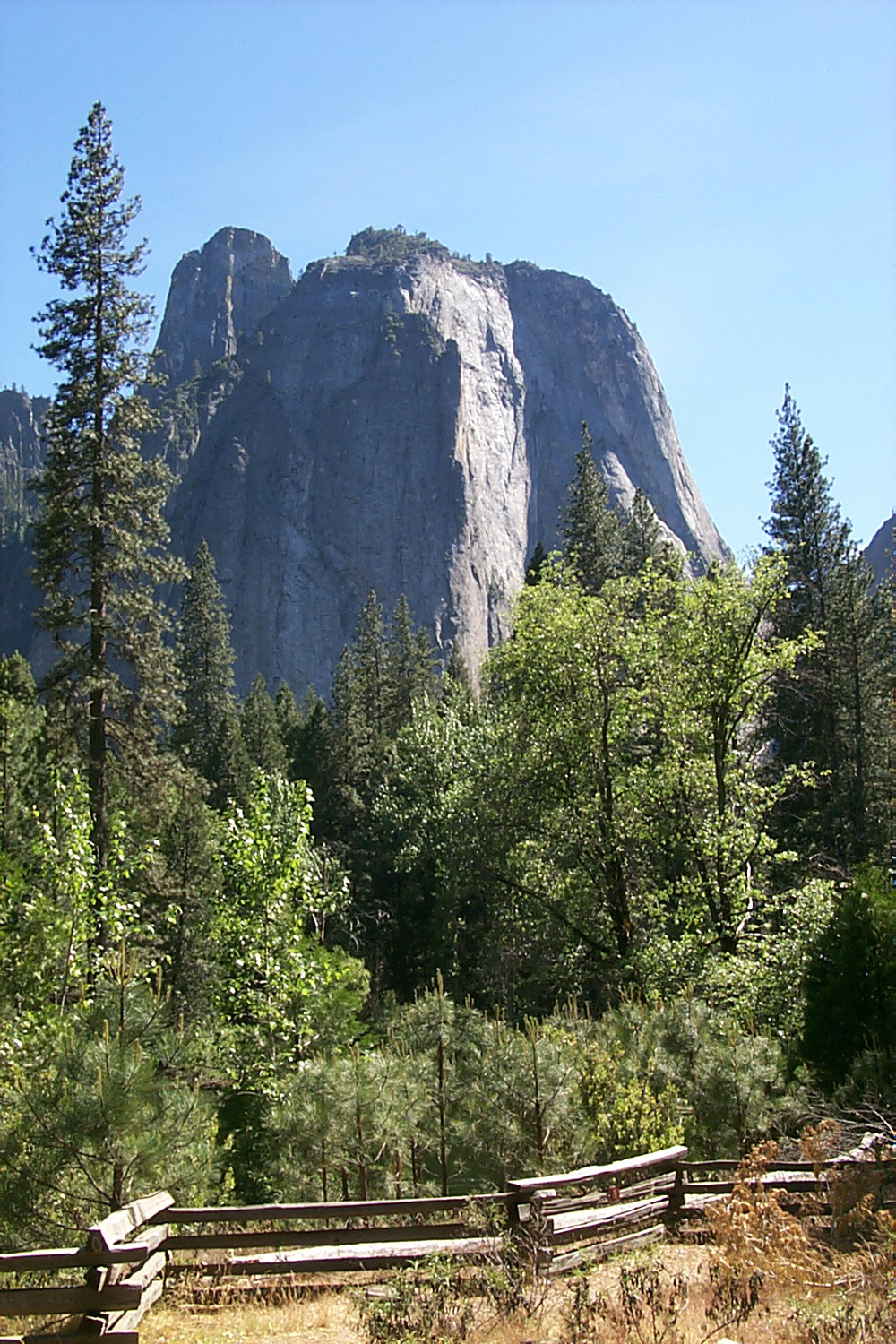 |
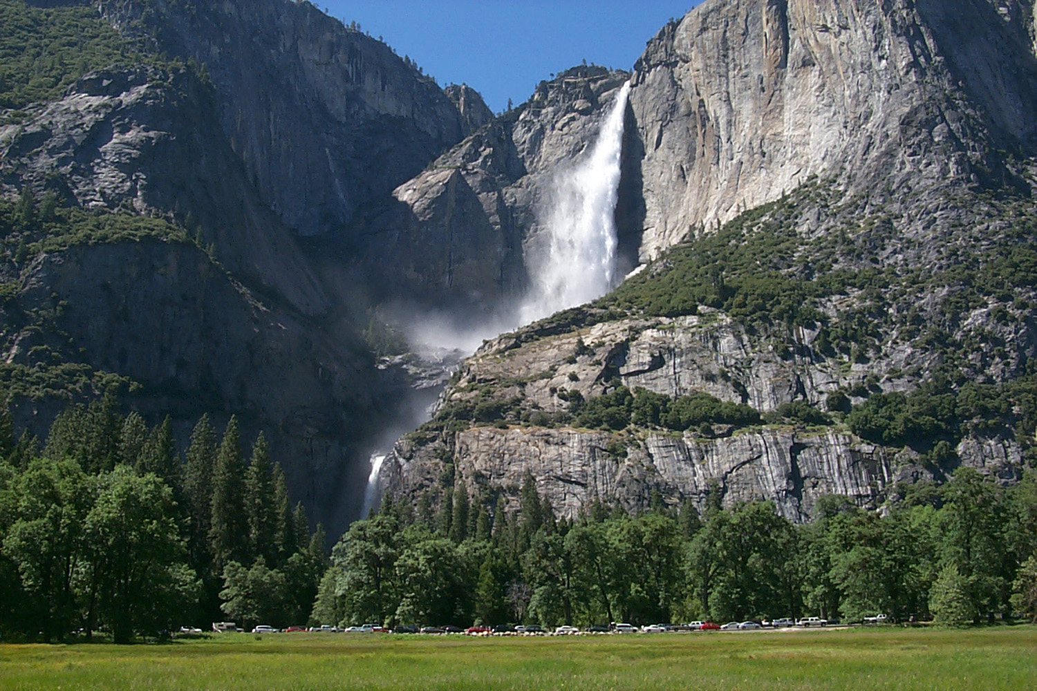
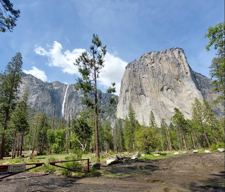
| Iconic view from Wawona Tunnel | Upper and Lower Yosemite Falls | Cathedral Rock (photo by Tim Liddle) |
 |
 |
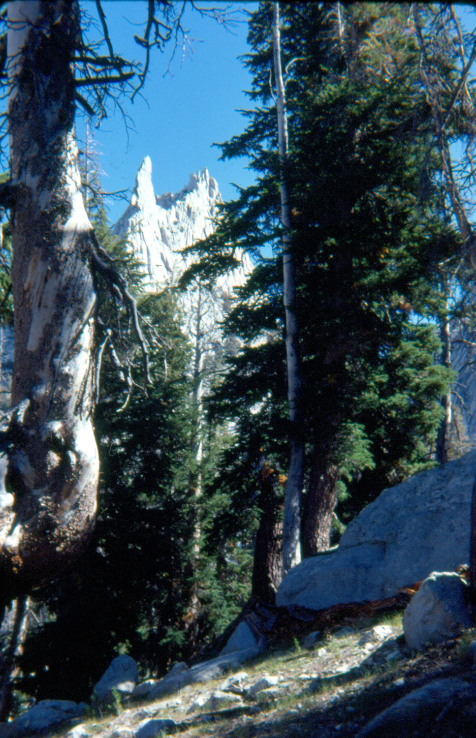 |
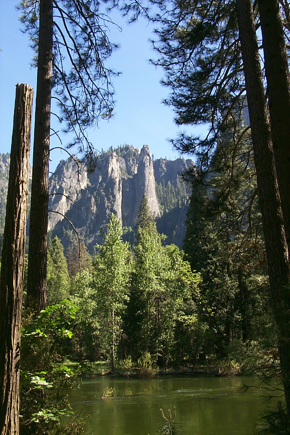
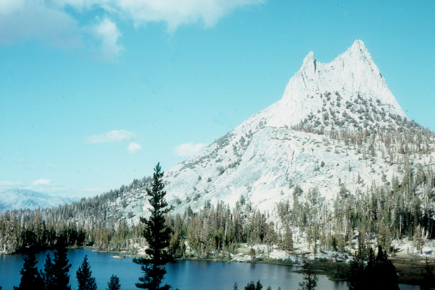
| Cathedral Spires (Tim Liddle) | Cathedral Peak near Tuolumne Meadows | A closer view of Cathedral Peak |
 |
 |
 |
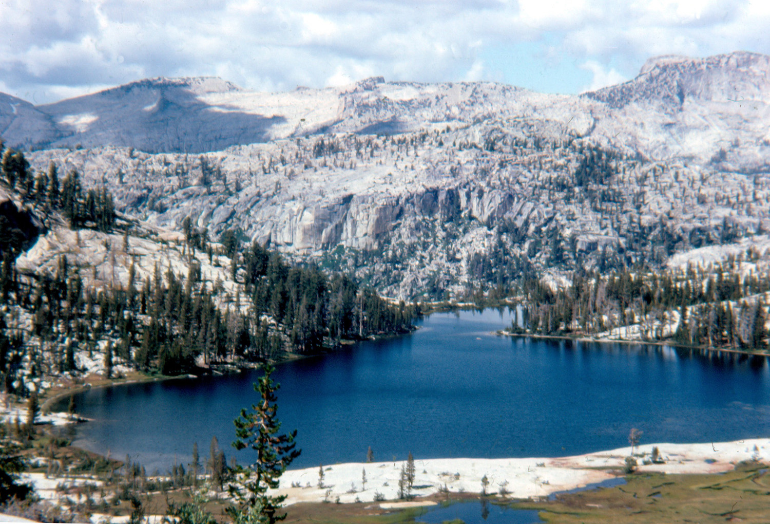
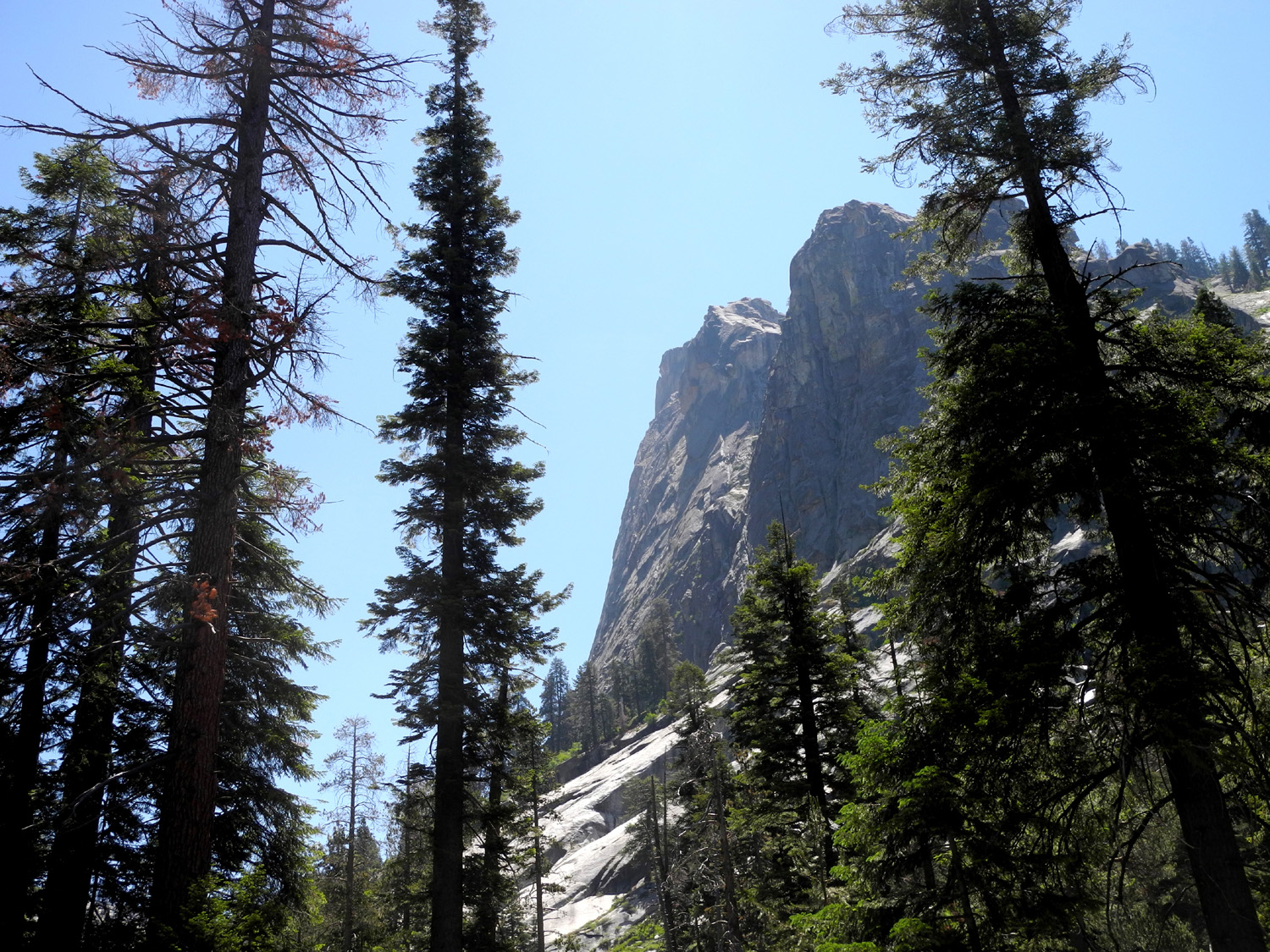
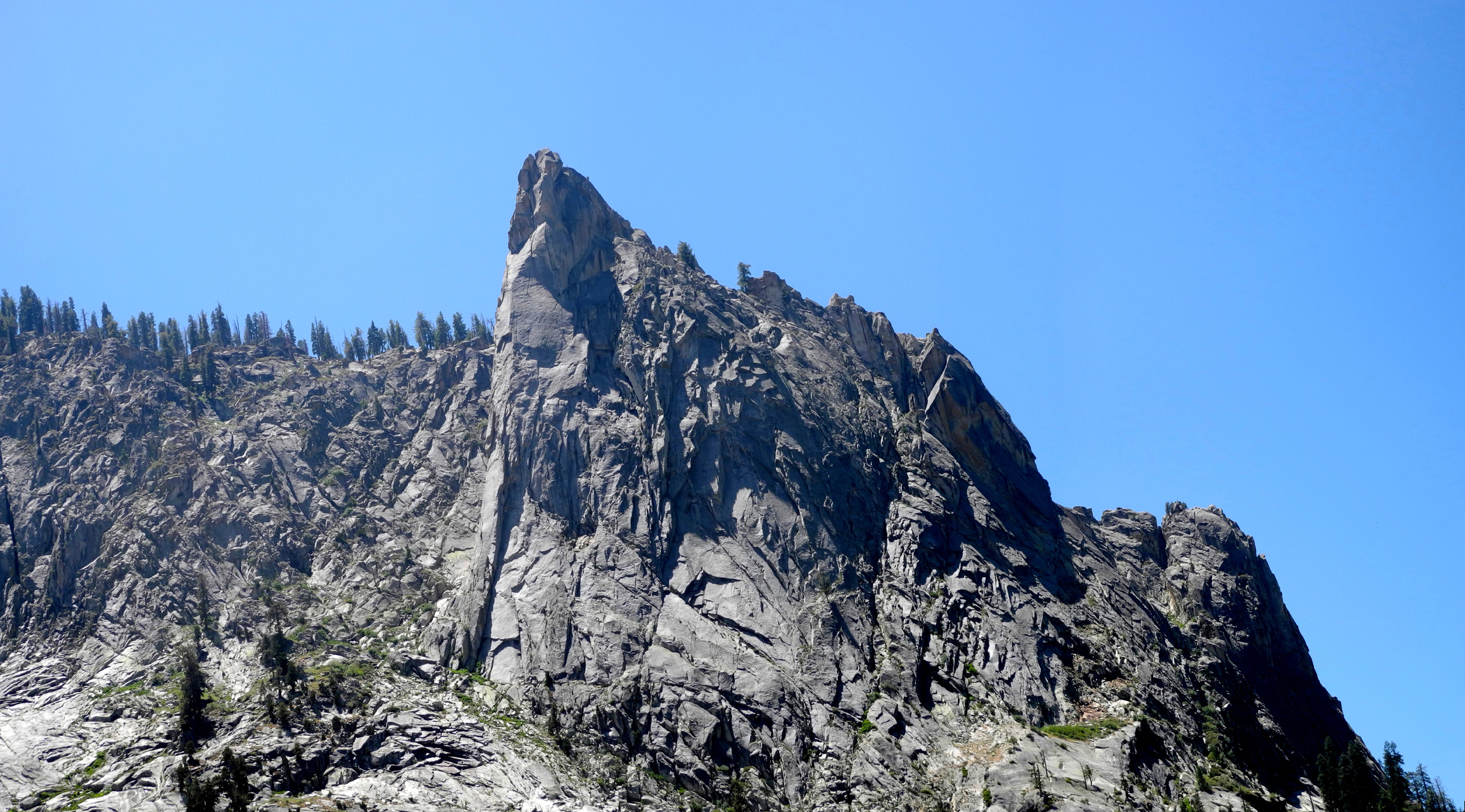
| Matthes Crest | Lower Cathedral Lake | Upper Cathedral Lake |
 |
 |
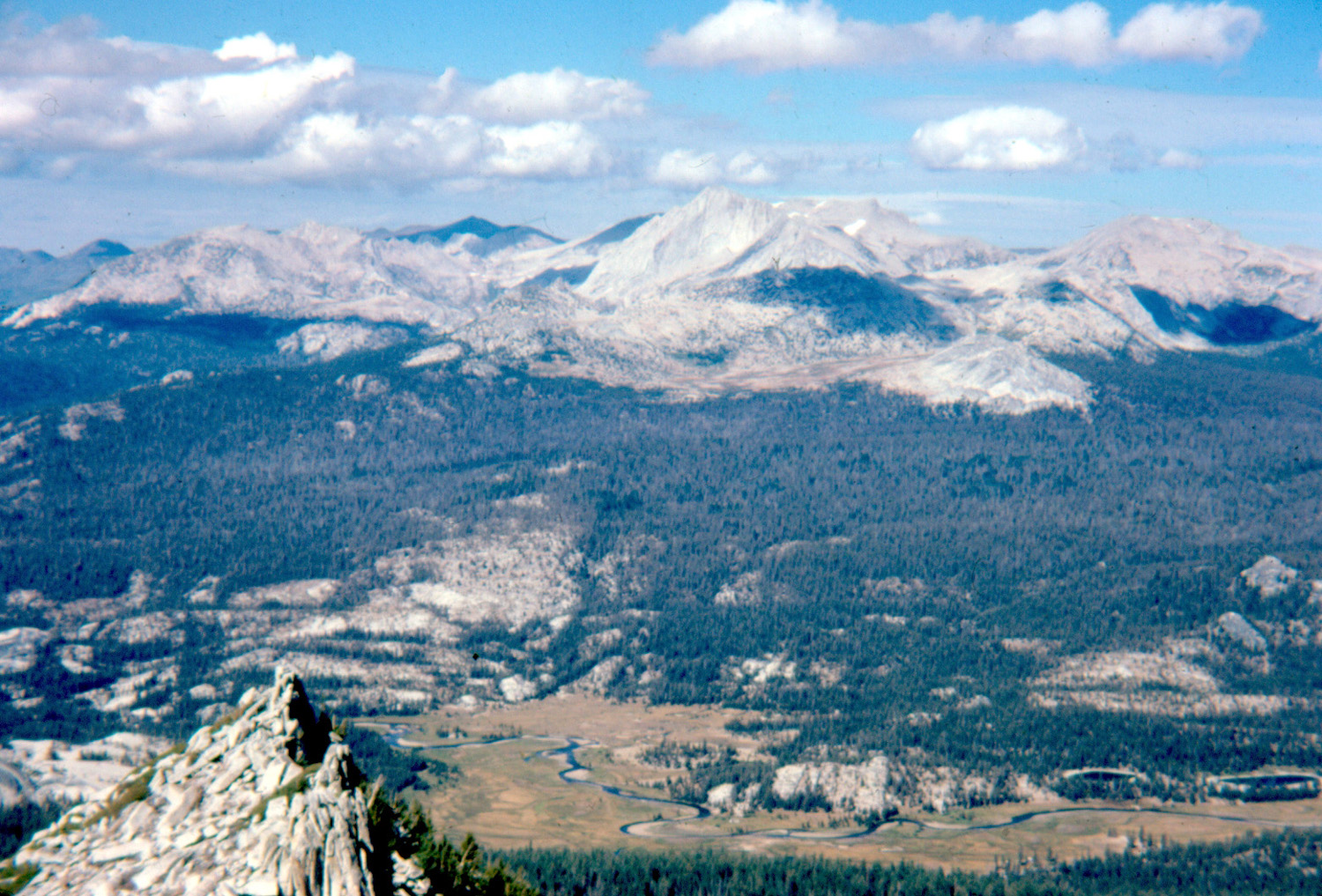 |
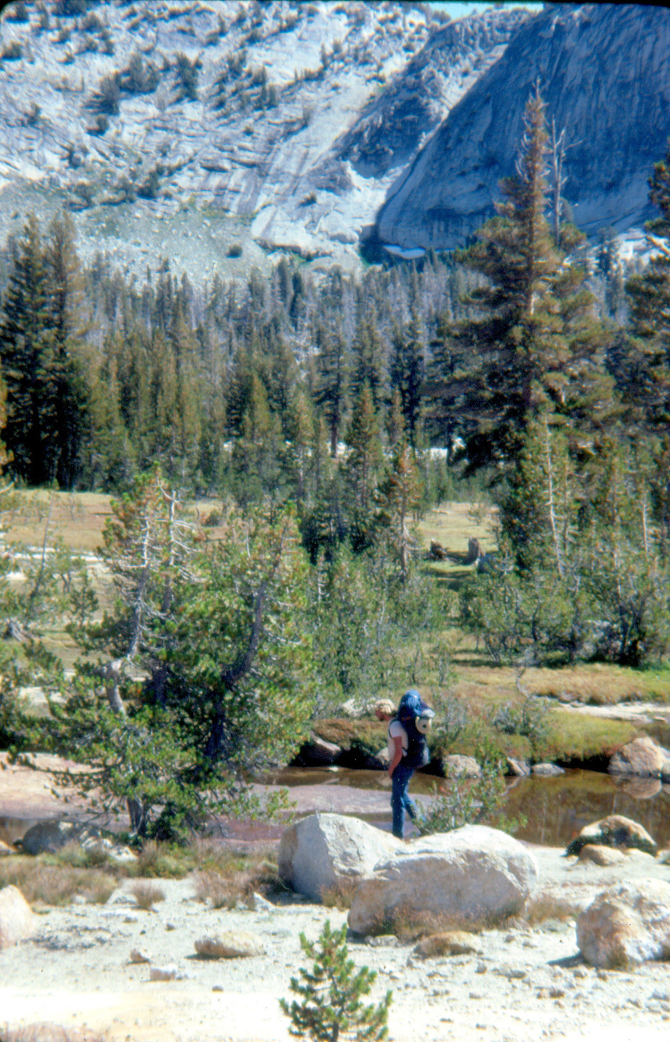
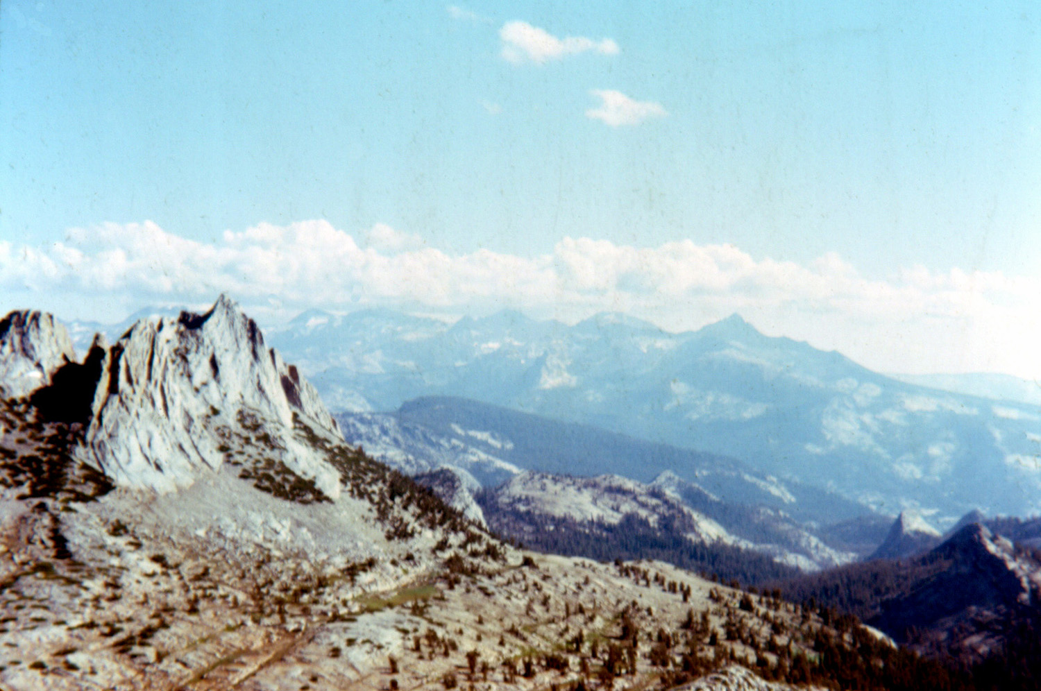
| Cathedral Lakes from halfway up Cathedral Peak | Echo Peaks and the Clark Range | Mt. Conness, Tuolumne Meadows and Tuolumne River below |
 |
 |
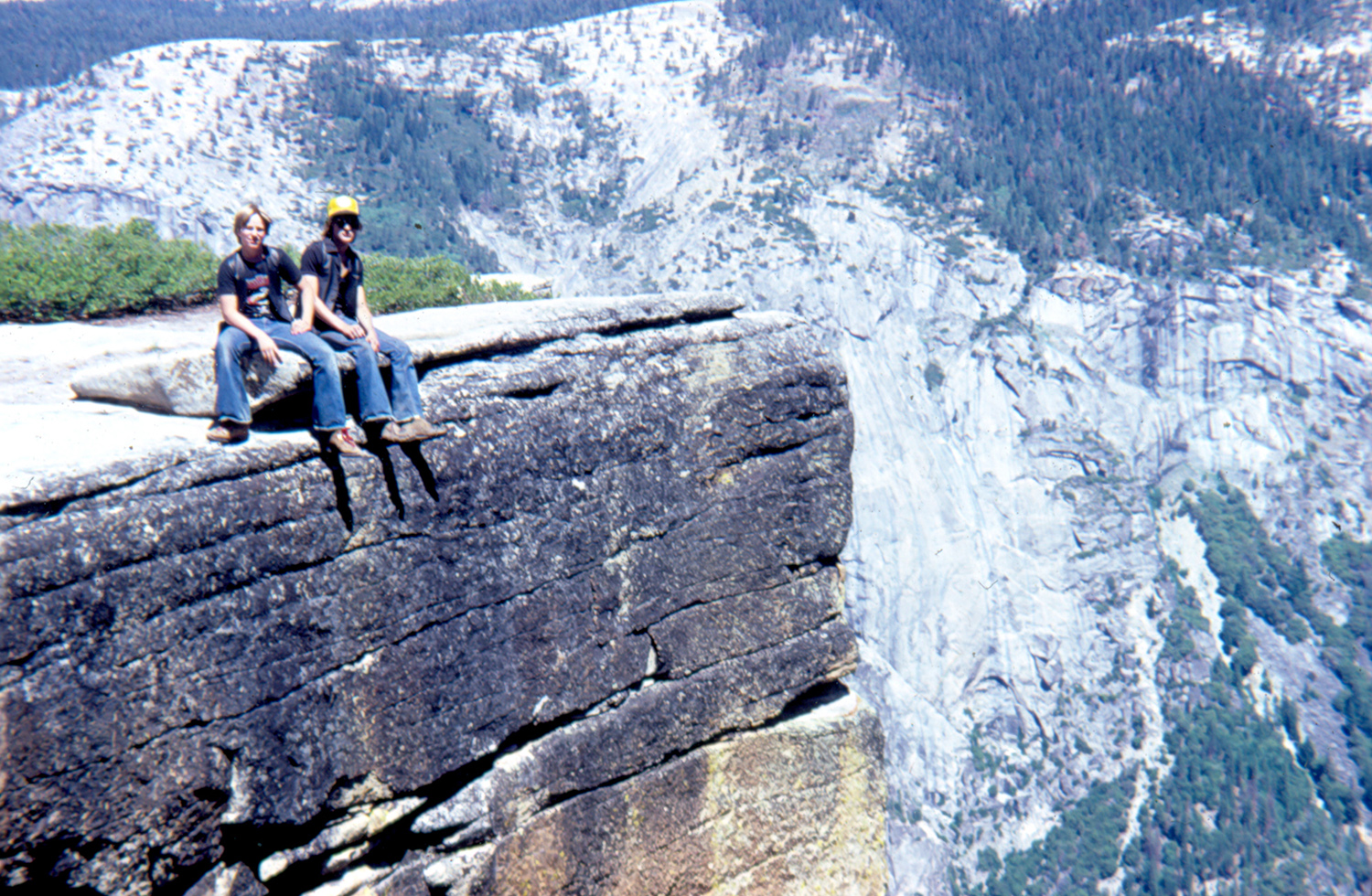 |
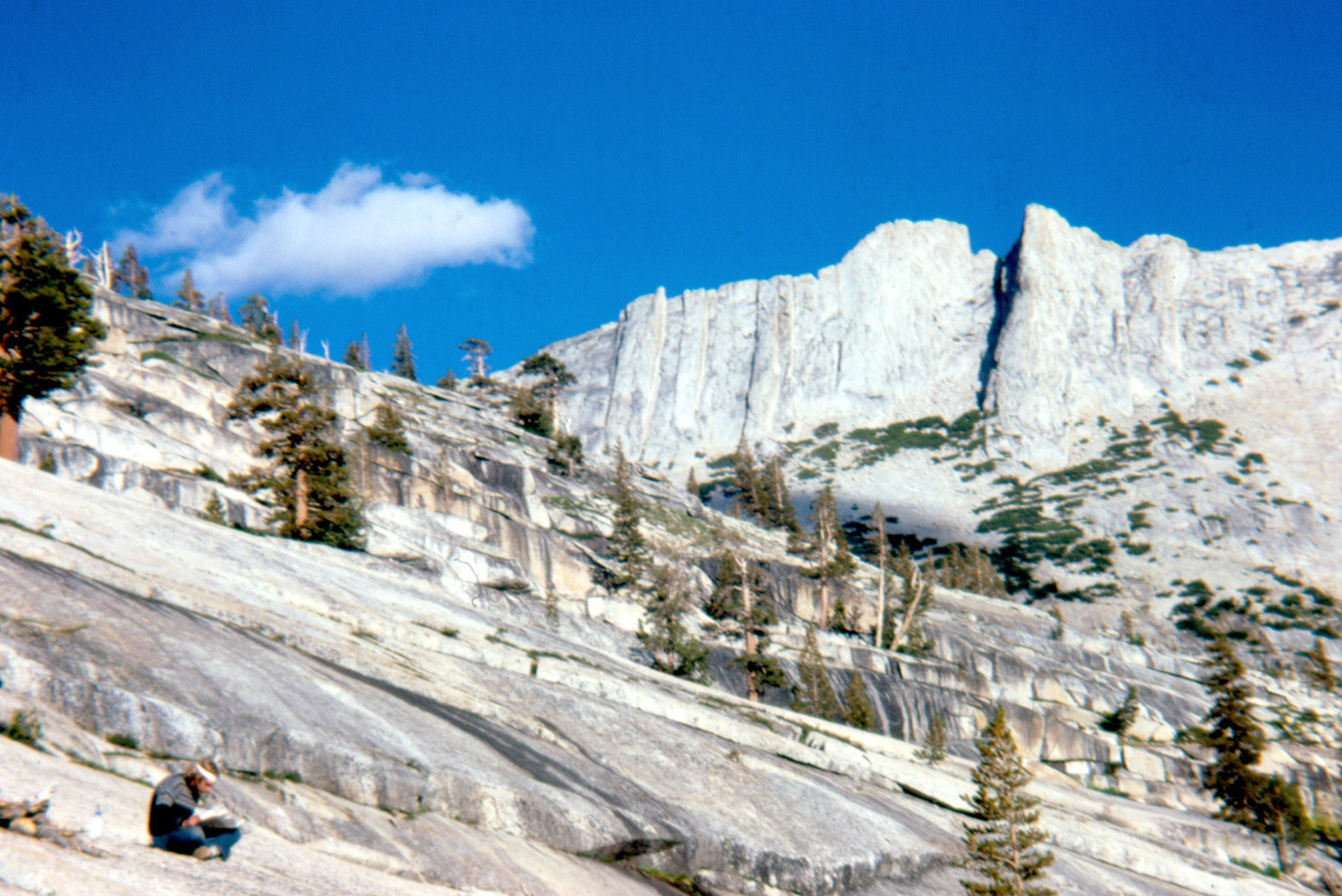
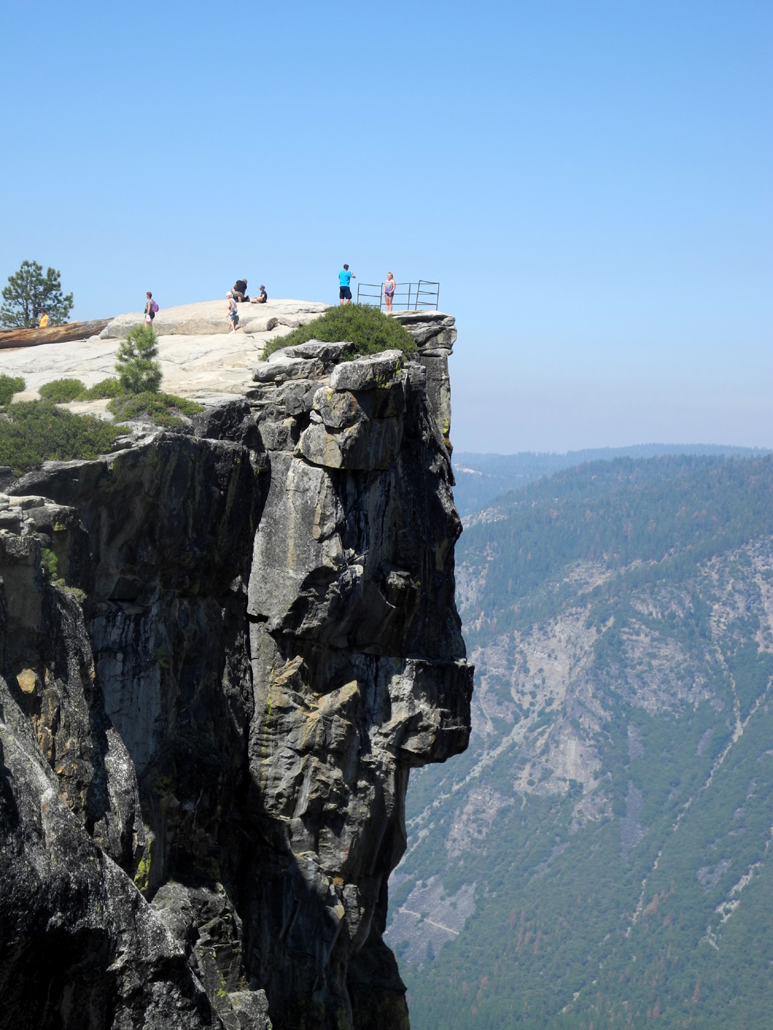
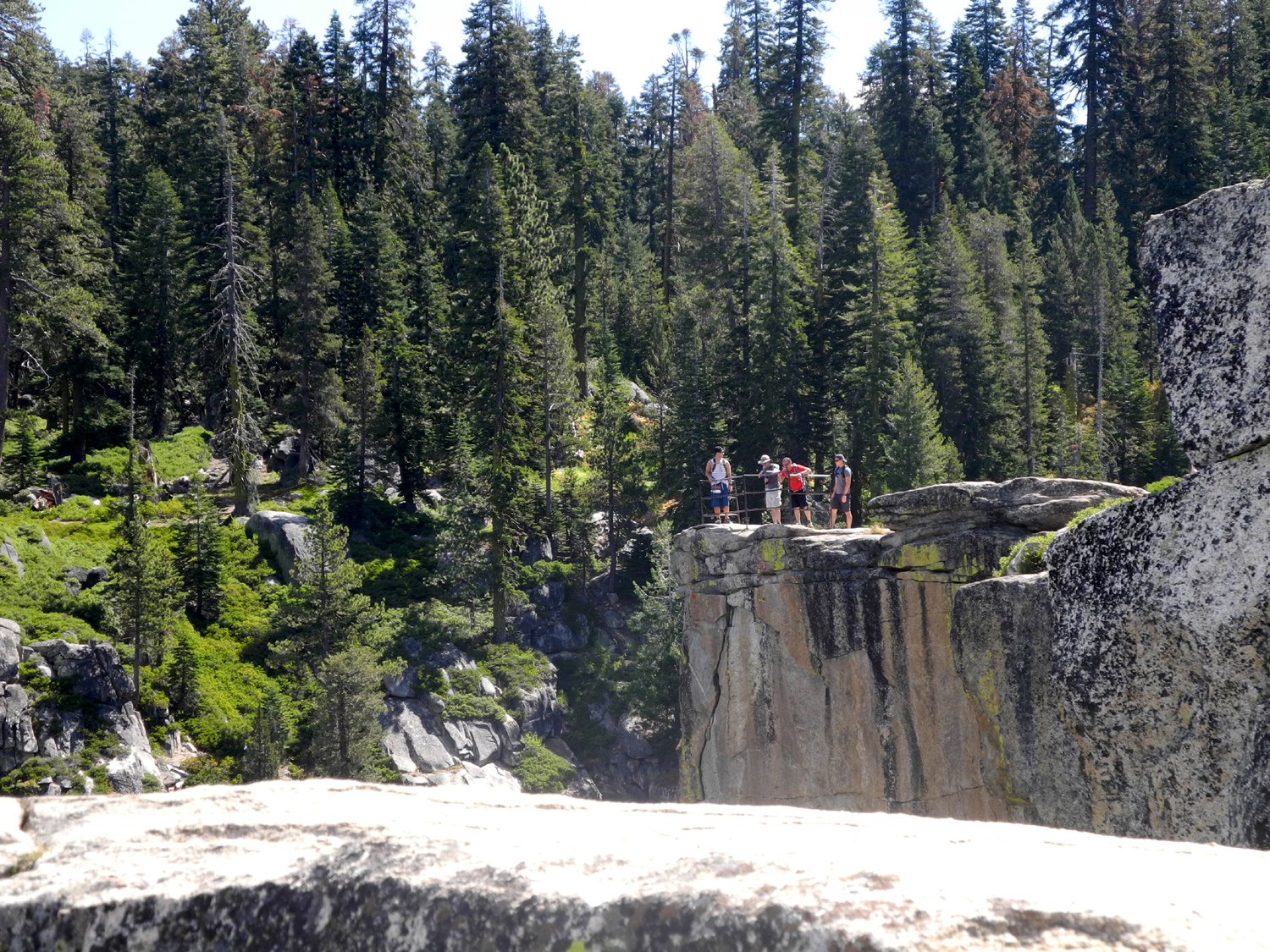
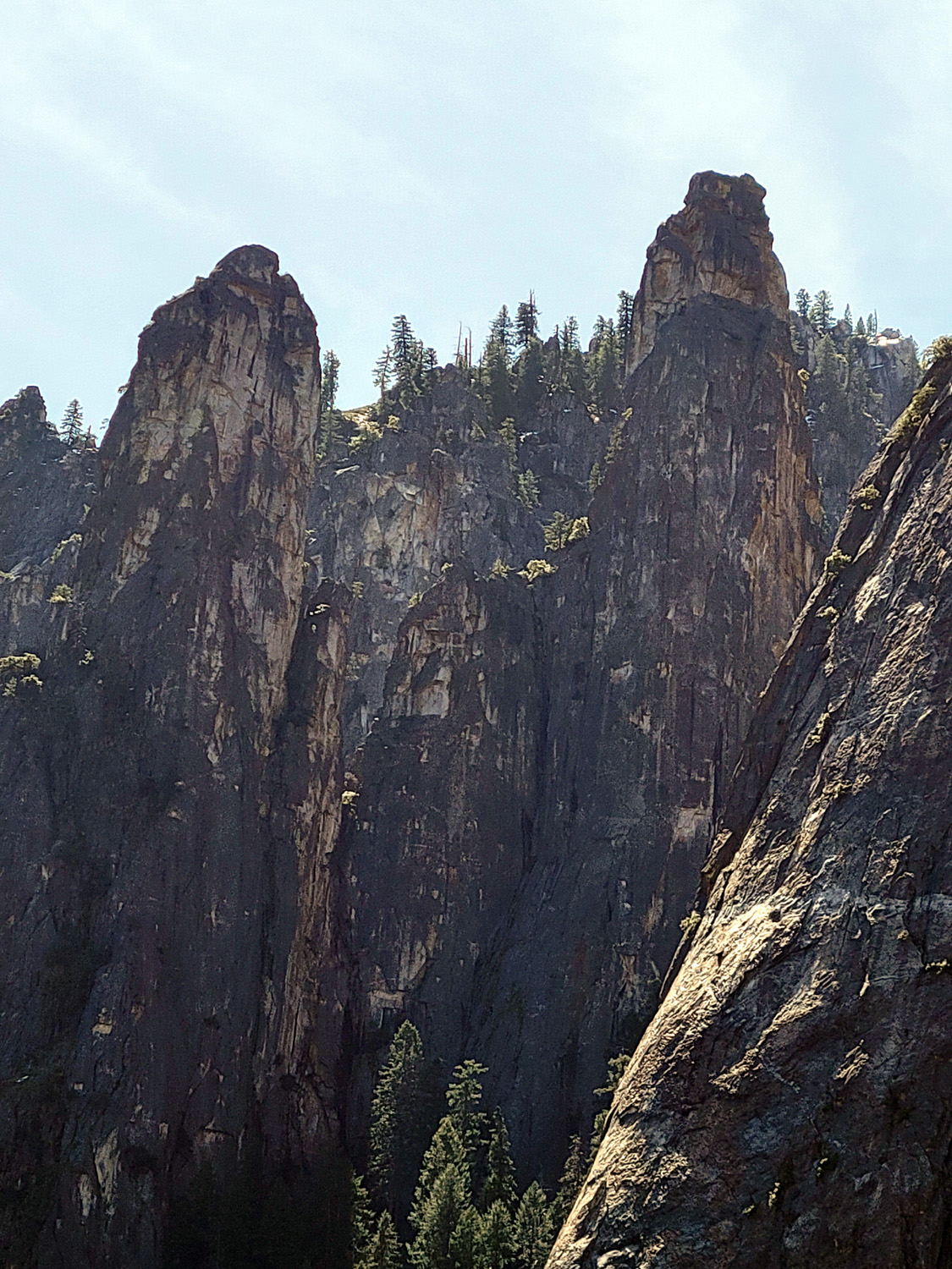
| The western spire of Cathedral Peak | Crevasse at Taft Point | Scott & Tim on the edge |
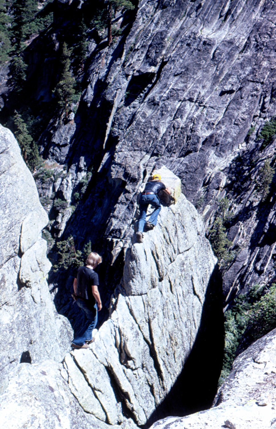 |
 |
 |
| Daredevils | Yosemite Falls, June 2011 | Chilnualna Creek near Wawona |
 |
 |
 |
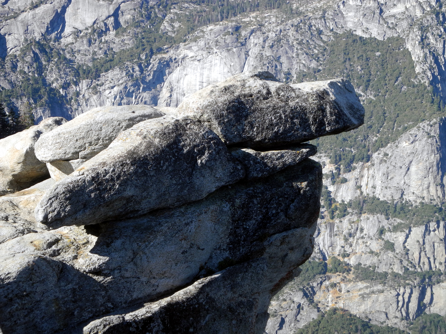
| Overhang at the top of Half Dome (RoN Reed photo) | Tenaya Lake | Cloud's Rest |
 |
 |
 |
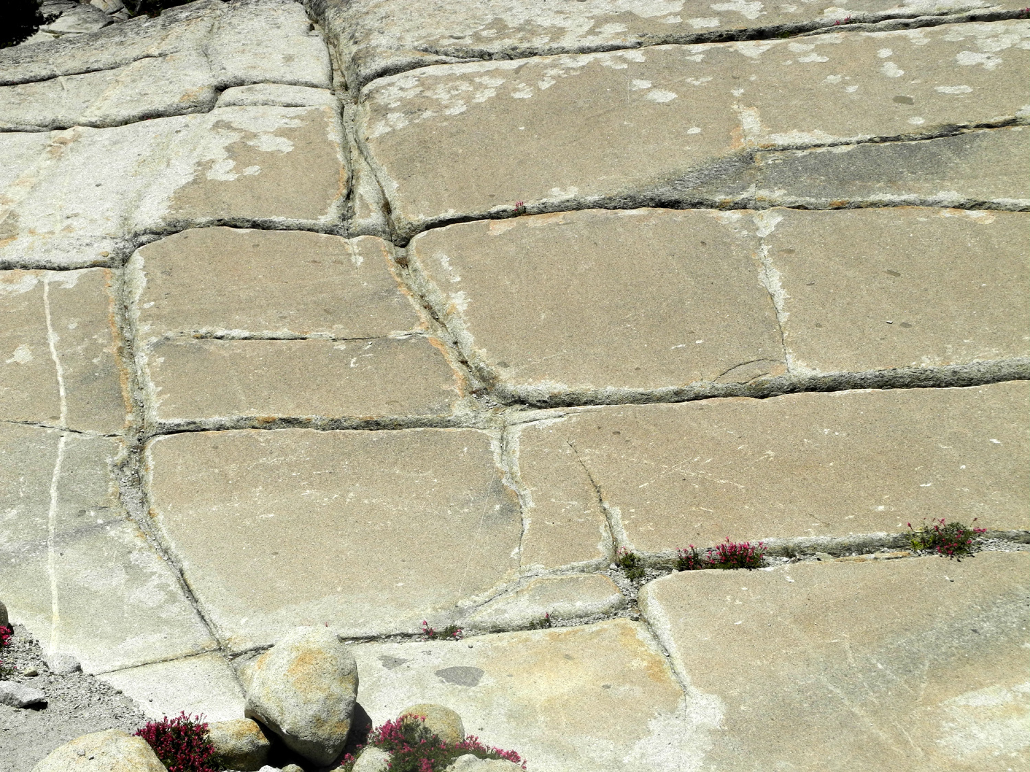
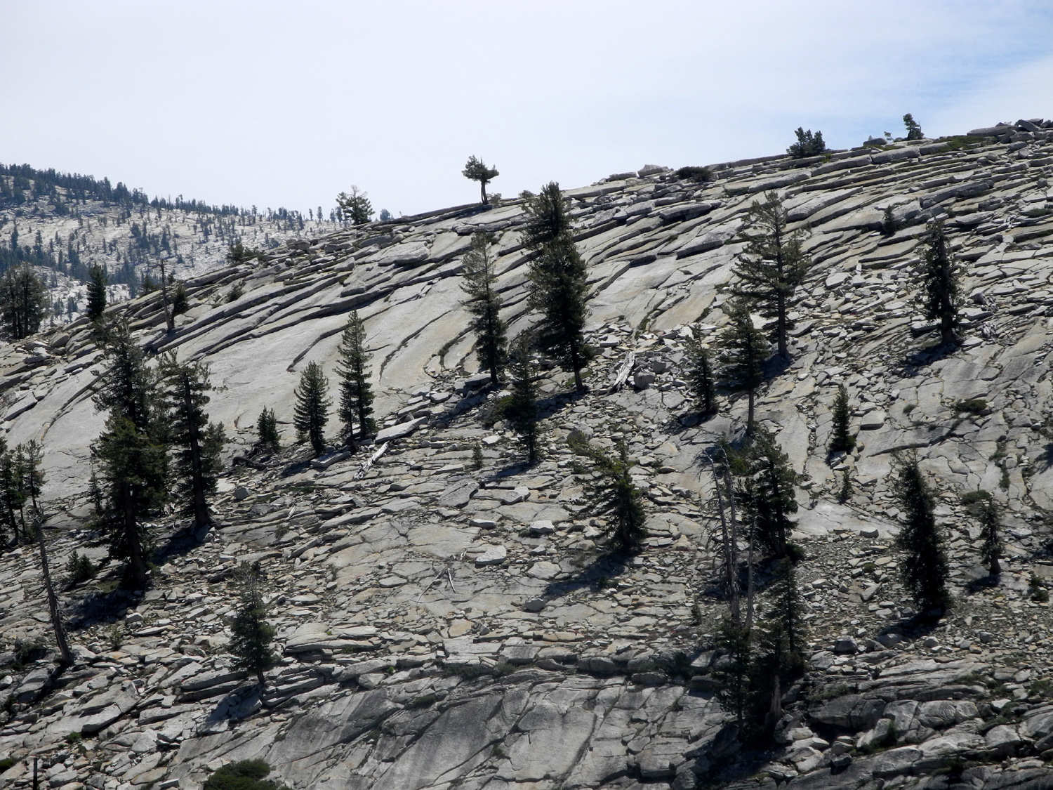
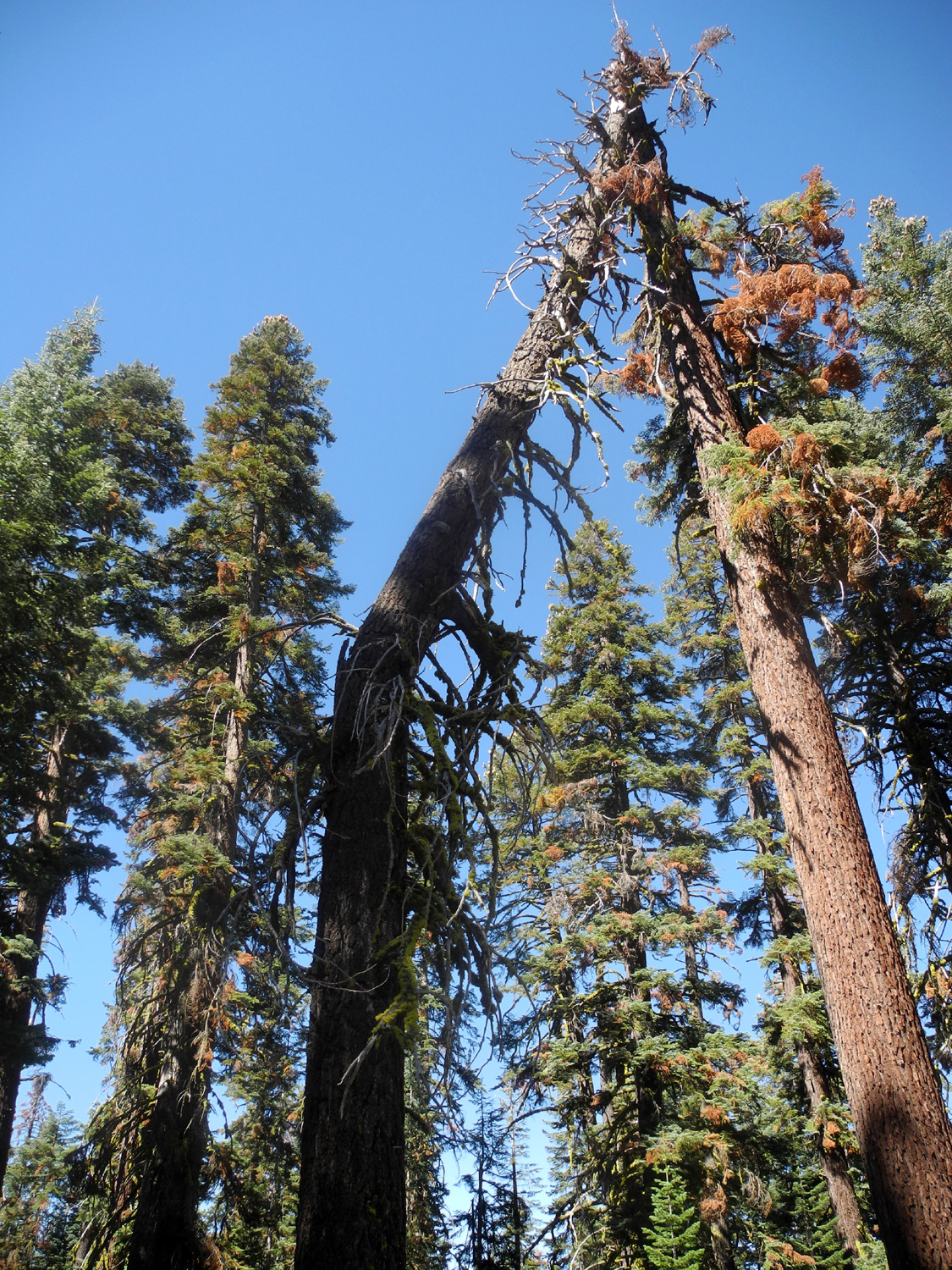
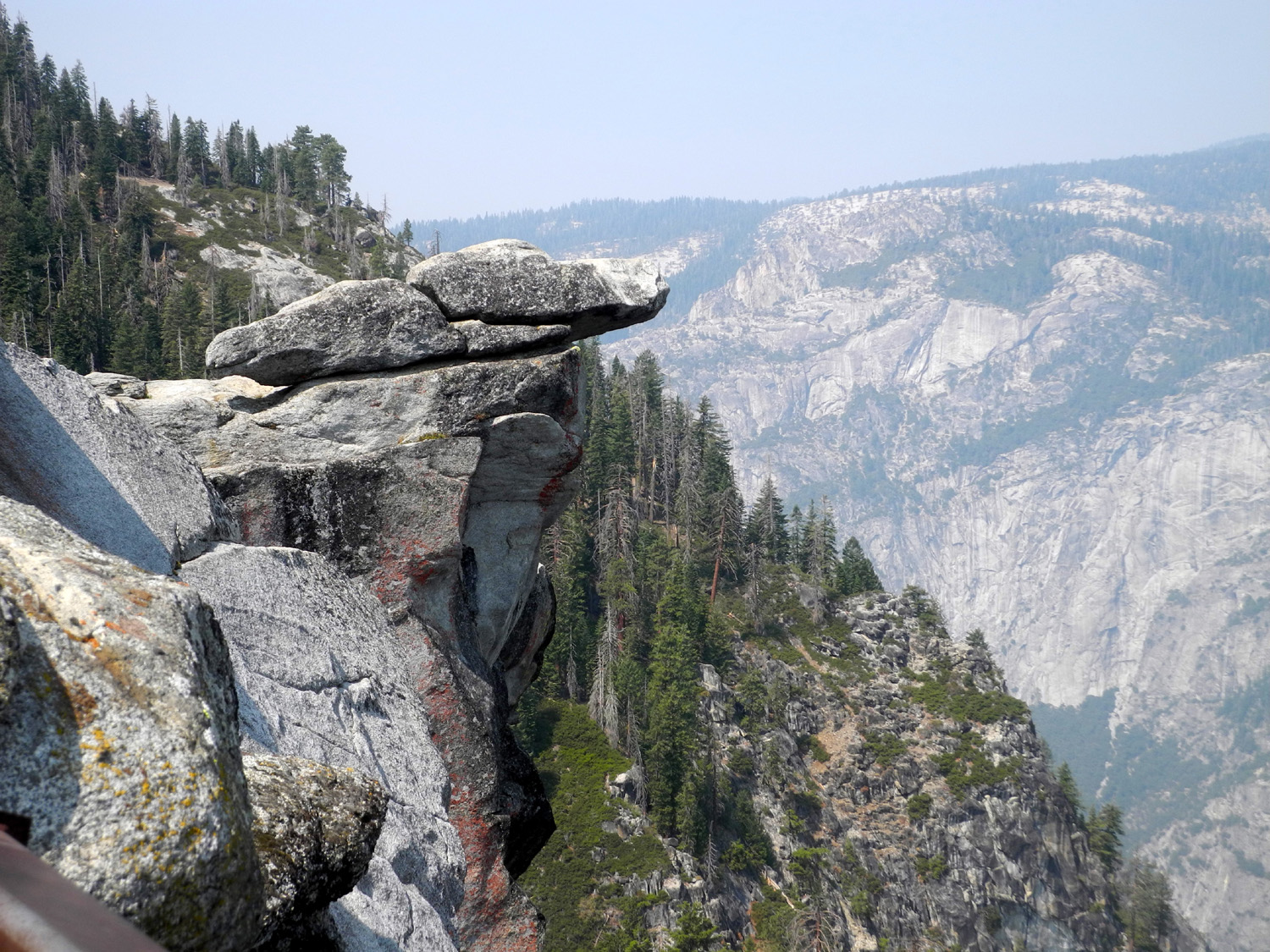
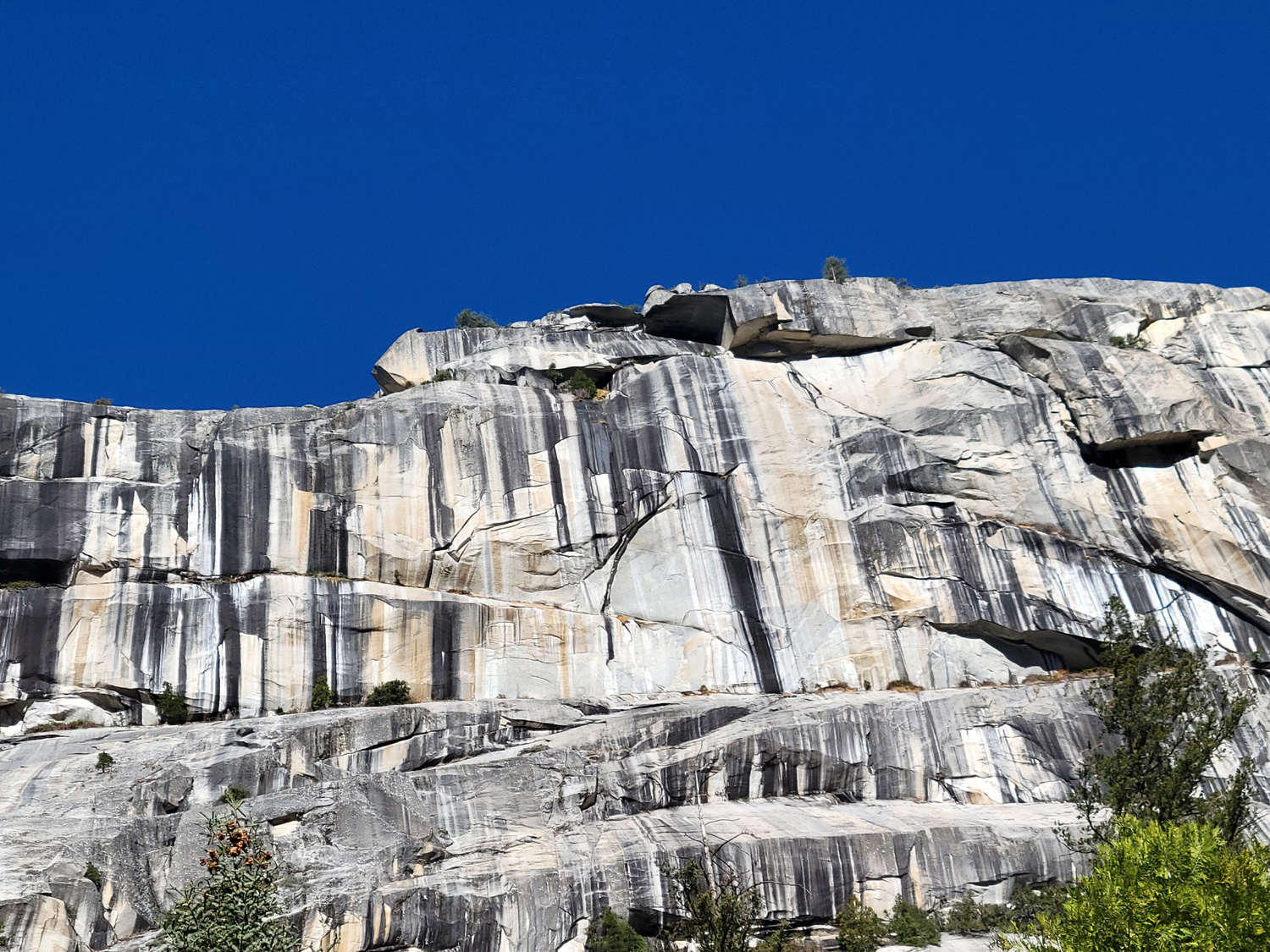
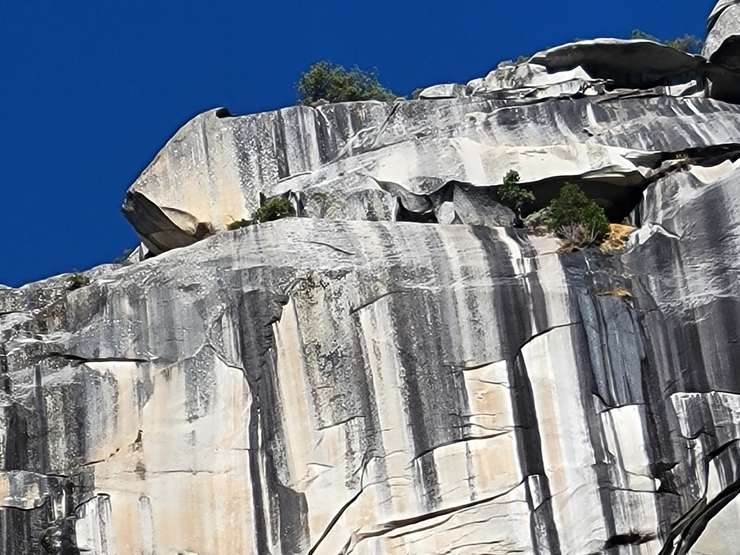
| How the mountains crumble |
Exfoliation - how domes are formed |
The dramatic overhang of Taft Point, looking north |
 |
 |
 |
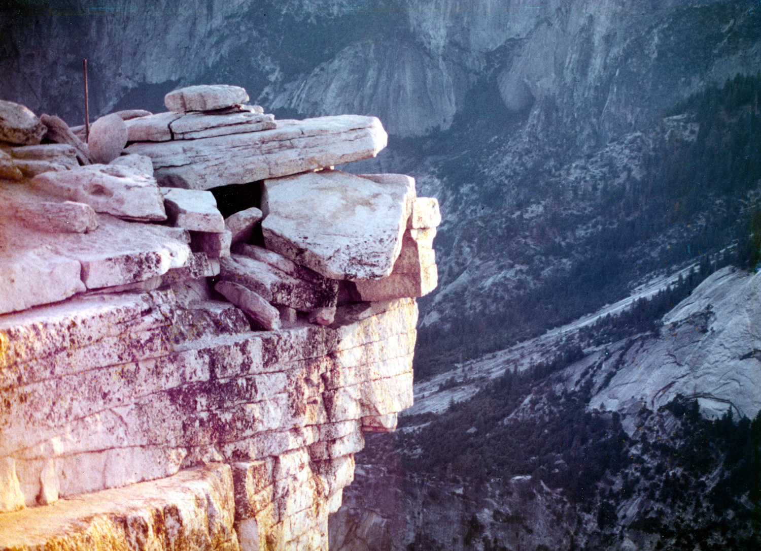
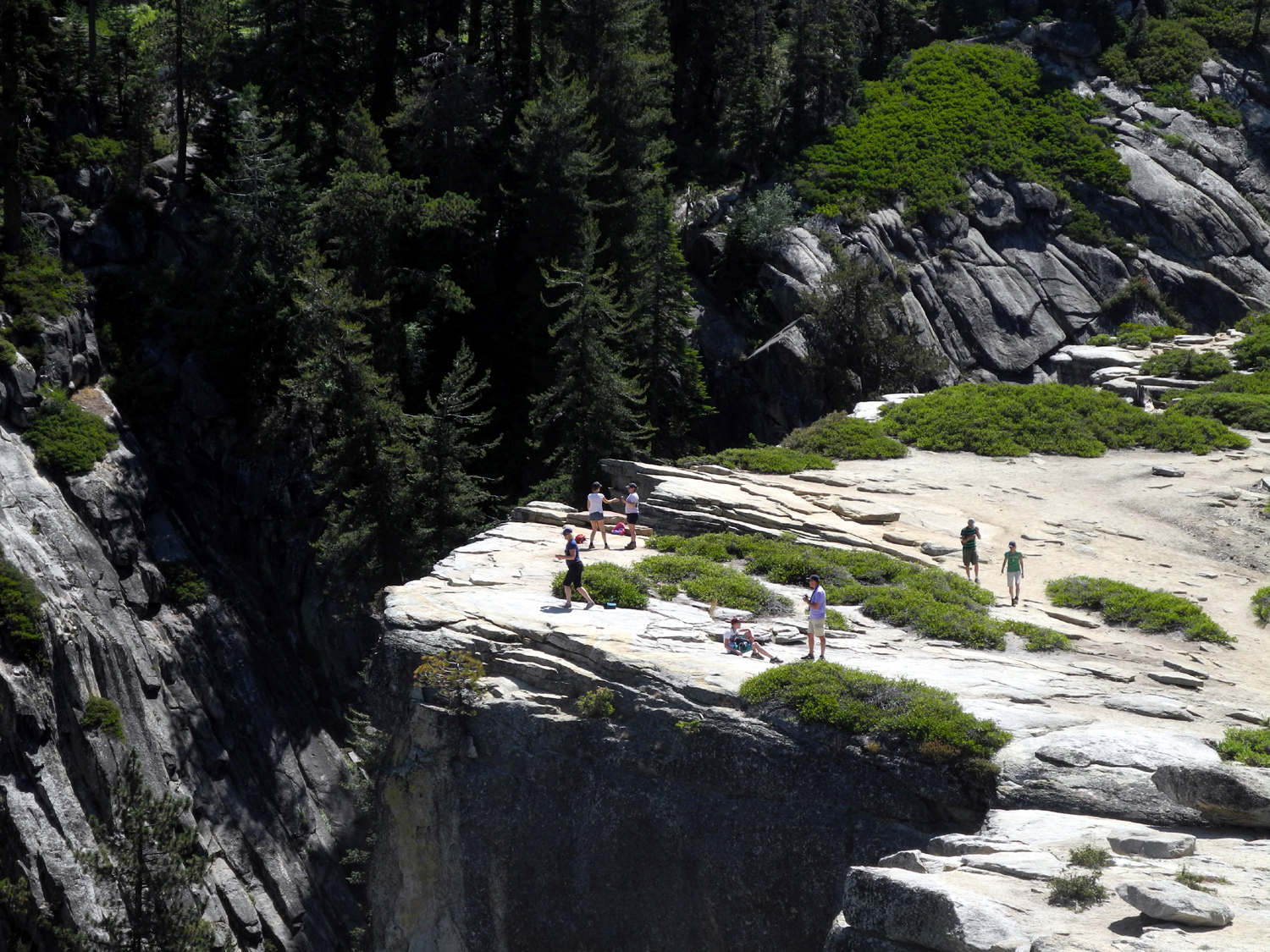
| Hikers by the big fissure at Taft Point |
Neatly piled rocks east of Taft Point |
Ridge where Tim and Scott crawled out in 1982 |
 |
||
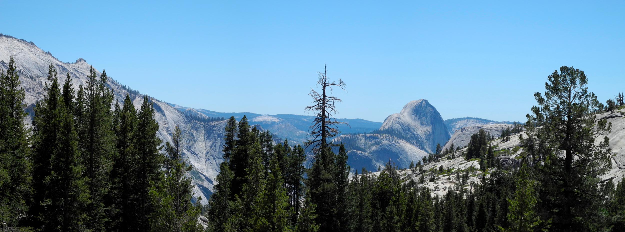
| Half Dome from Olmstead Point on the Tioga Pass Road | ||
 |
||
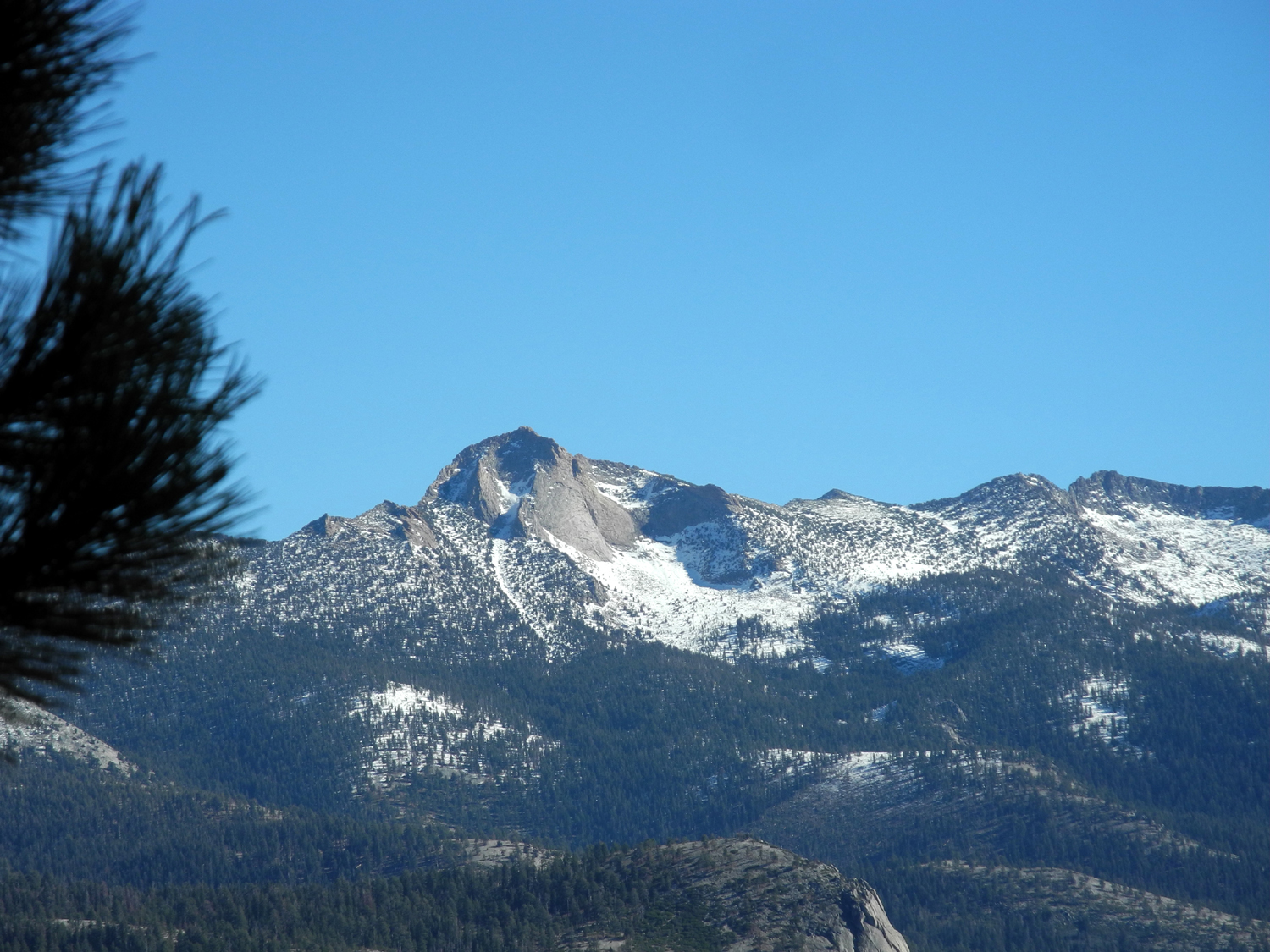
| Mt. Clark on the left, Starr-King on the right | ||
 |
||
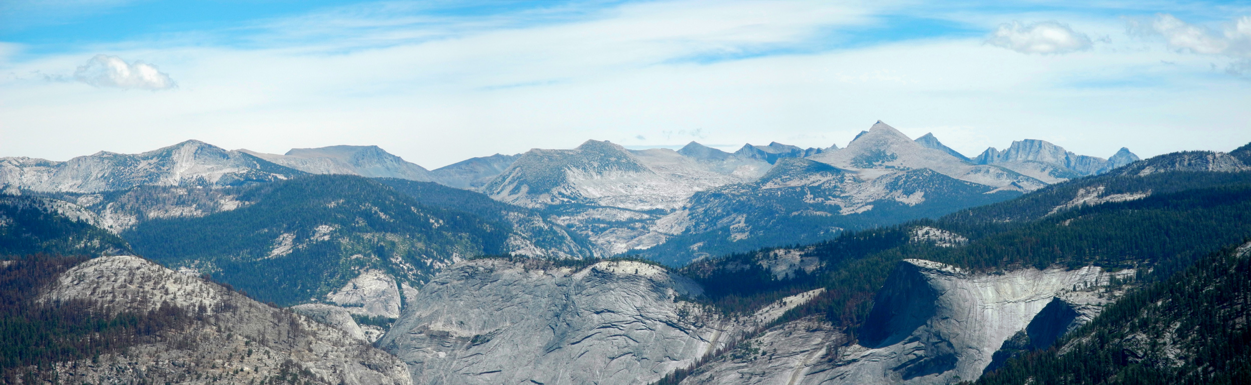
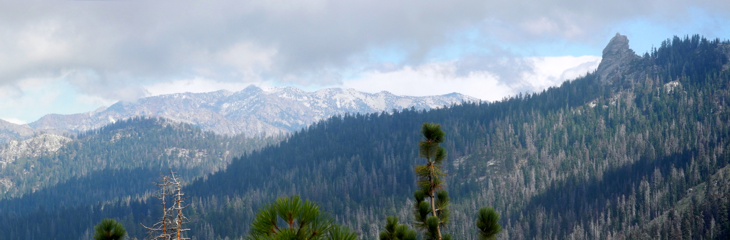
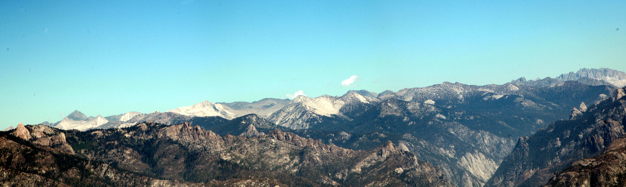
| High Sierra panorama | ||
 |
 |
 |
|
A very scenic ridge east of Taft Point |
Taft Point from the west side | Mt. Clark |
 |
 |
 |
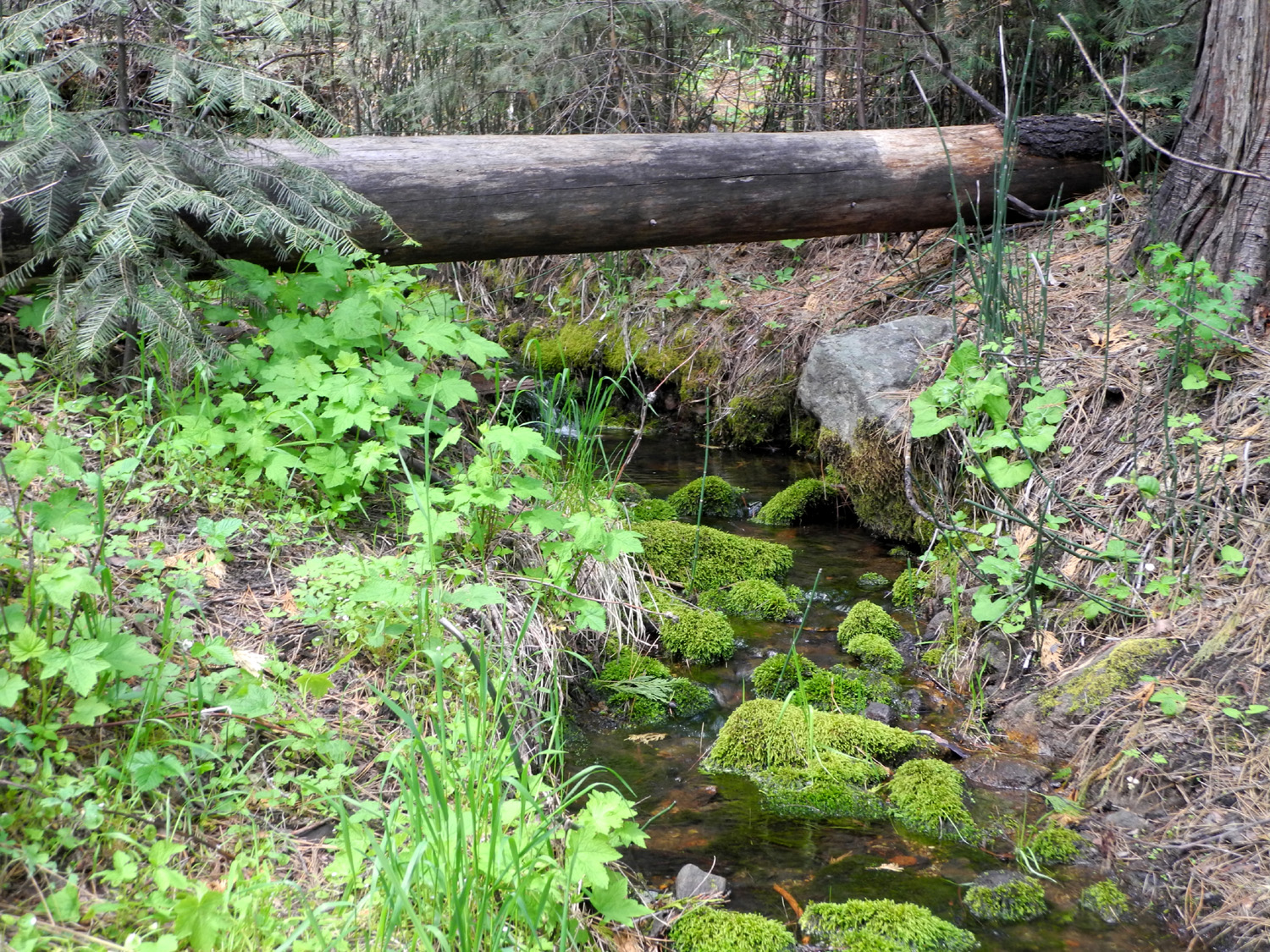
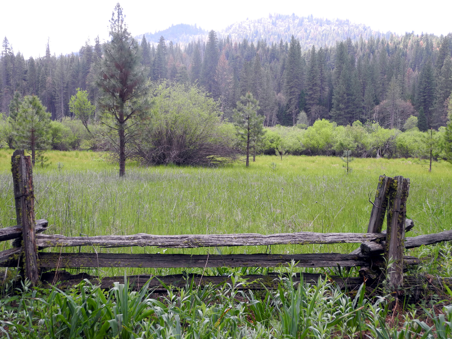
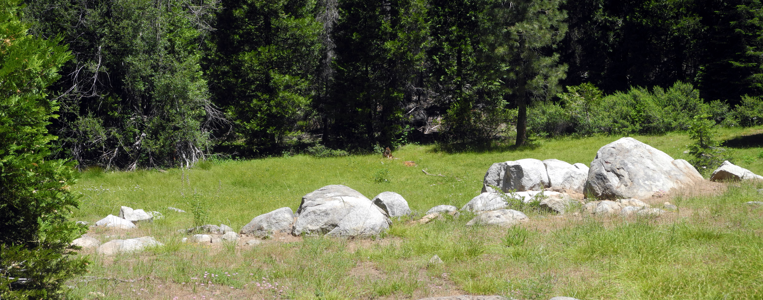
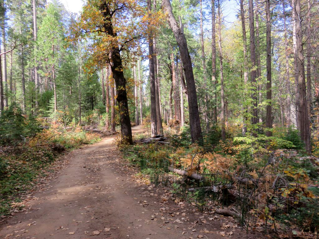
| Wawona Meadow Loop Trail | Creek near the trail | Wawona Meadow |
 |
 |
 |
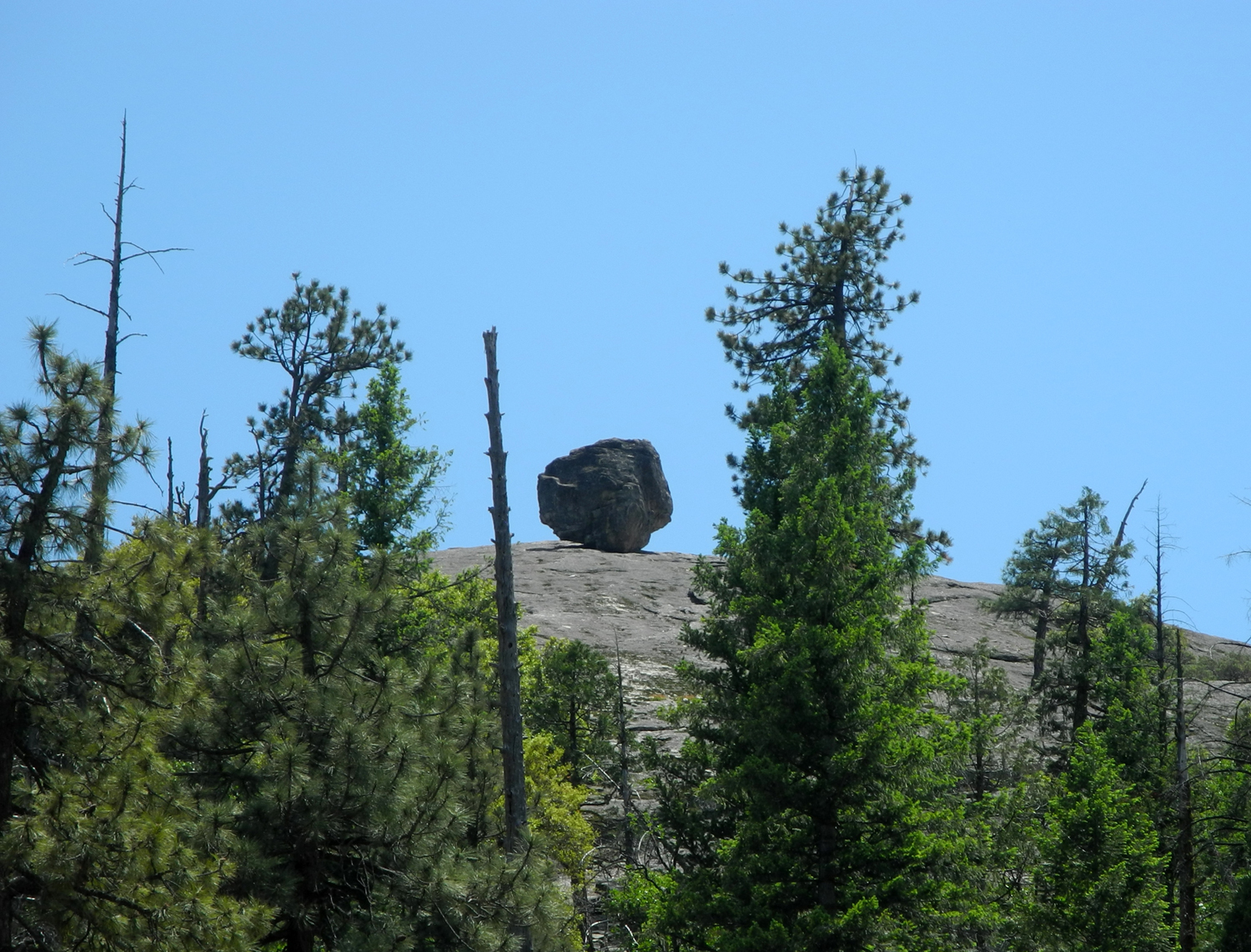
| Another view of the meadow | Boulder perched above the road above Wawona Tunnel |
Yosemite Falls with lots of water in June 2016 |
 |
 |
 |
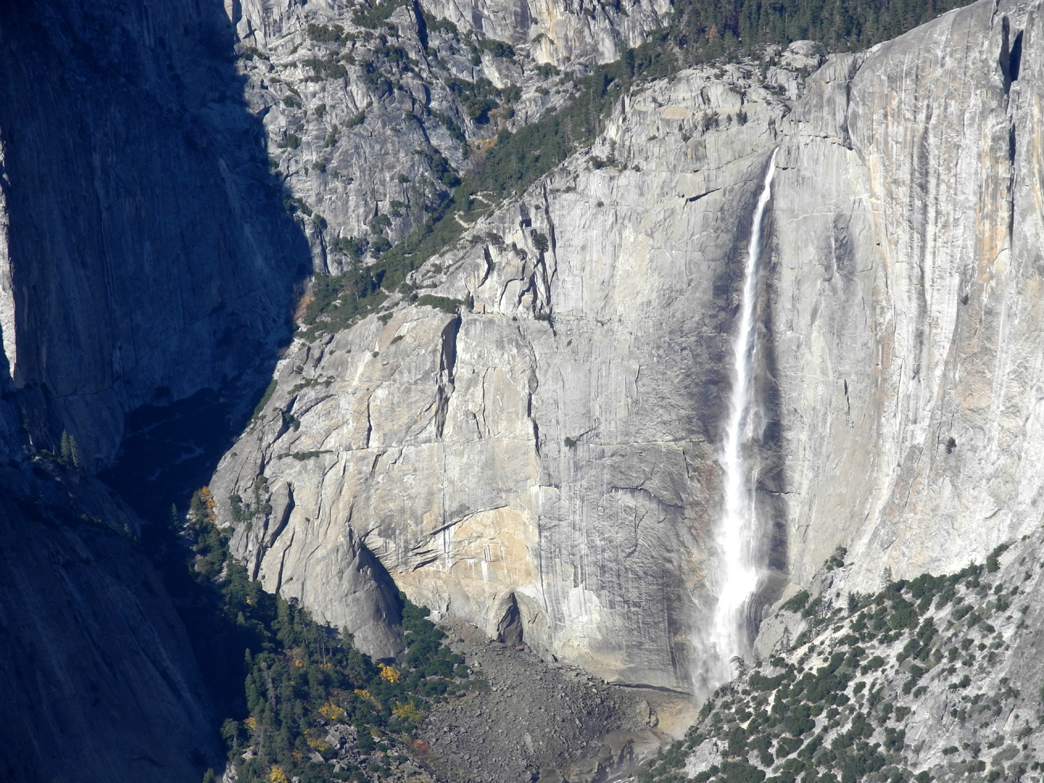
| Upper and Lower Yosemite Falls |
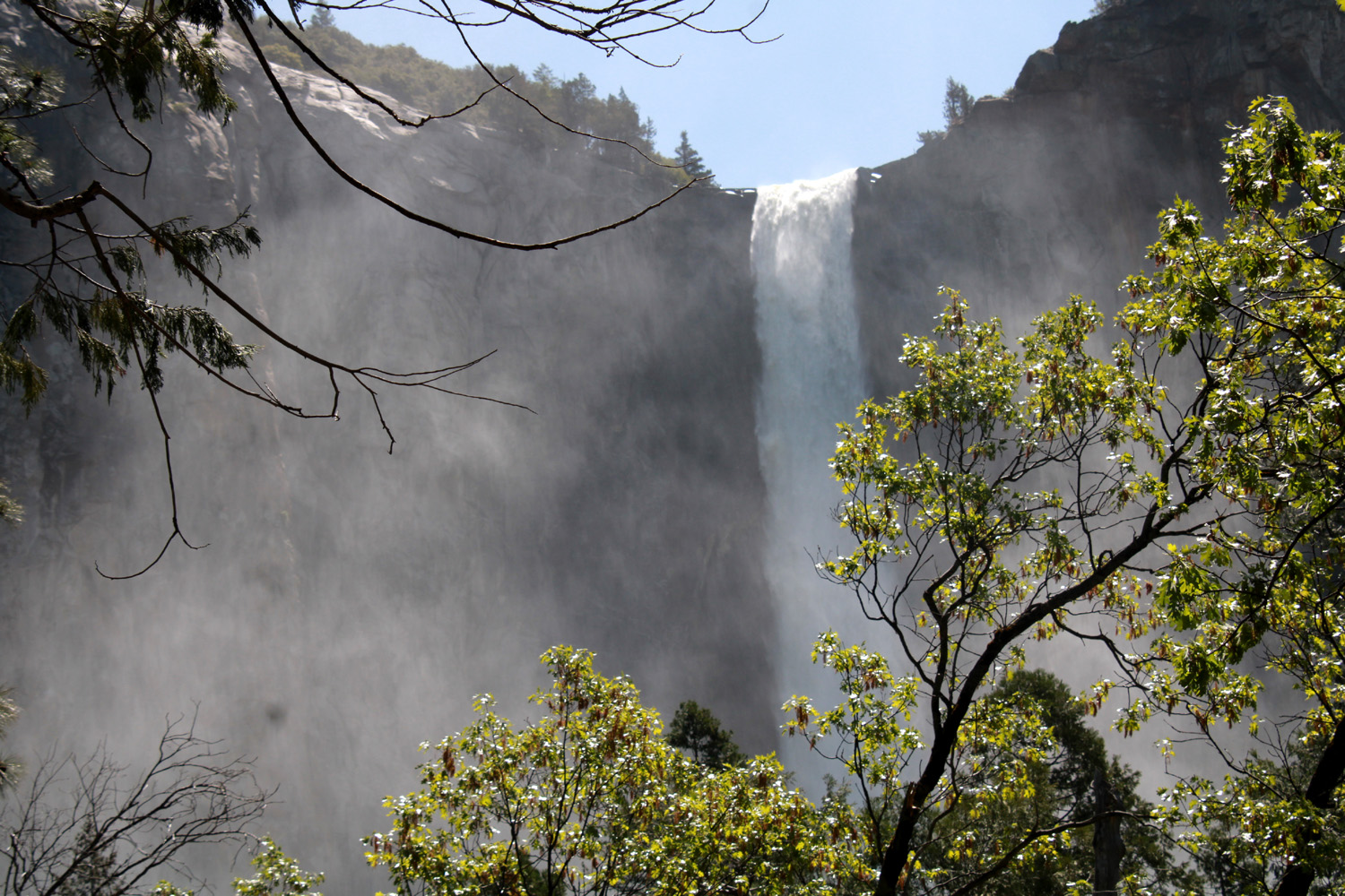
Bridalveil Falls at its beautiful best |
Sun reflects off the mist blown away from the top of the falls |
 |
 |
 |
| Water just above the Wawona Swinging Bridge, July 2017 | North Dome, Basket Dome, and snow-covered Mt. Hoffman on the horizon | Mt. Starr-King |
 |
||
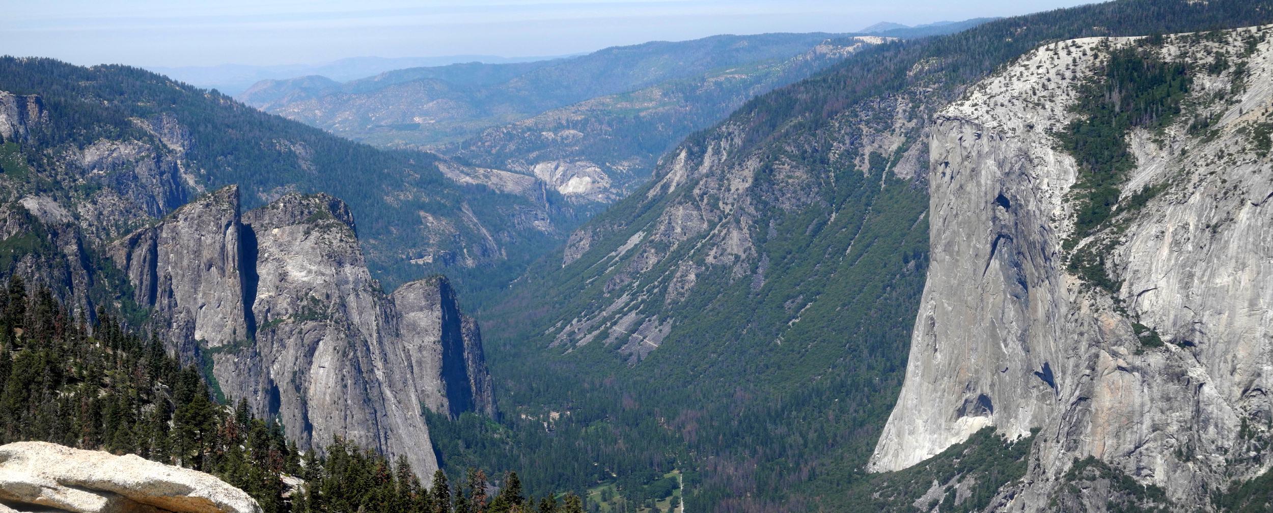
| High Sierra panorama above the Merced River drainage from Glacier Point | ||
 |
 |
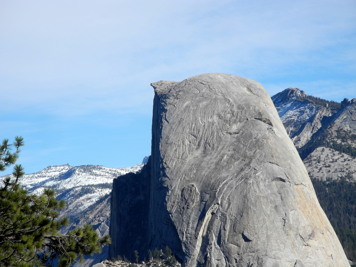 |
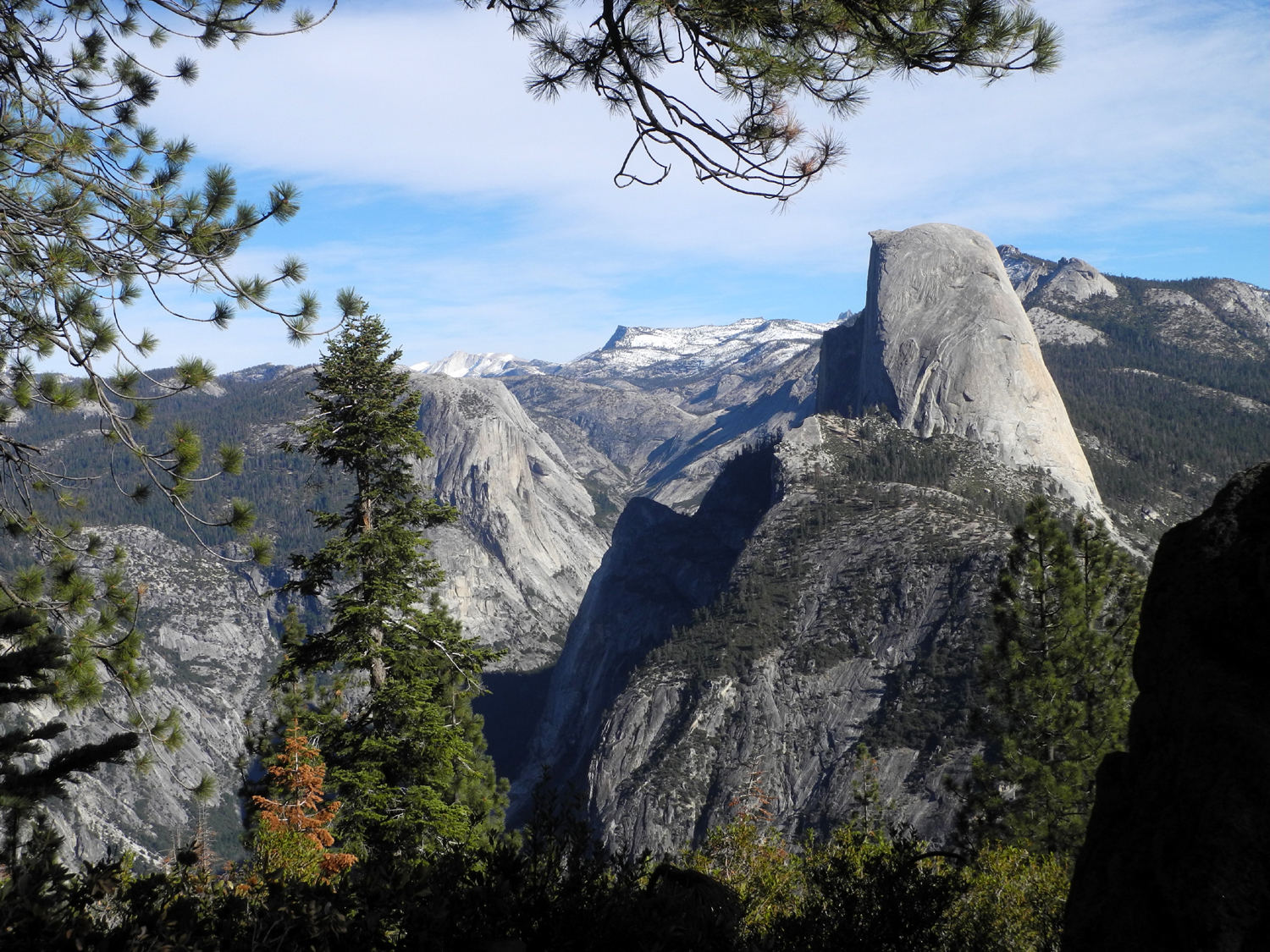
| Mt. Clark from Washburn Point | Half Dome is seen in profile at Washburn | A closer look |
 |
 |
 |
| Brave but foolish souls used to stand on this overhang at Glacier Point | Lower Yosemite Falls in November 2017 | And the upper falls |
 |
||
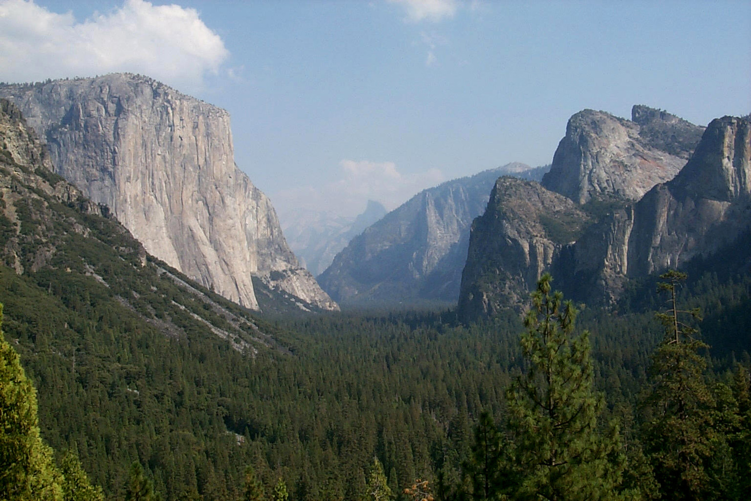
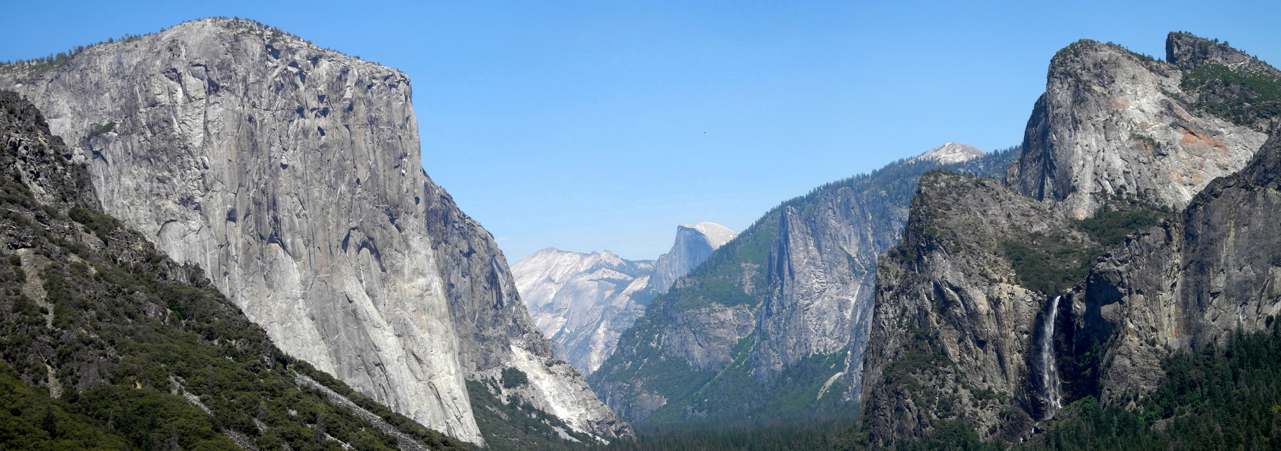
| The famous Tunnel View of Yosemite Valley | ||
 |
 |
 |
| El Capitan and Half Dome from just west of the Wawona Tunnel | Southern Yosemite Valley and El Capitan from the Sentinel Dome Trail | East side of Sentinel Dome from the trail |
 |
 |
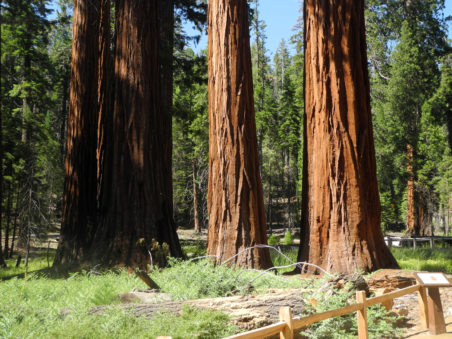 |
| Half Dome from the Sentinel Dome Trail | Mt. Clark | Some of the 500 mature sequoias in the Mariposa Grove |
 |
||
| Panoramic view of lower Yosemite Valley with El Capitan at the right and Three Graces on the left | ||
 |
 |
 |
| Spring comes to this meadow in July | Ferns changing color for fall | A friend to lean on |
 |
 |
 |
|
Looking down on El Capitan from Taft Point |
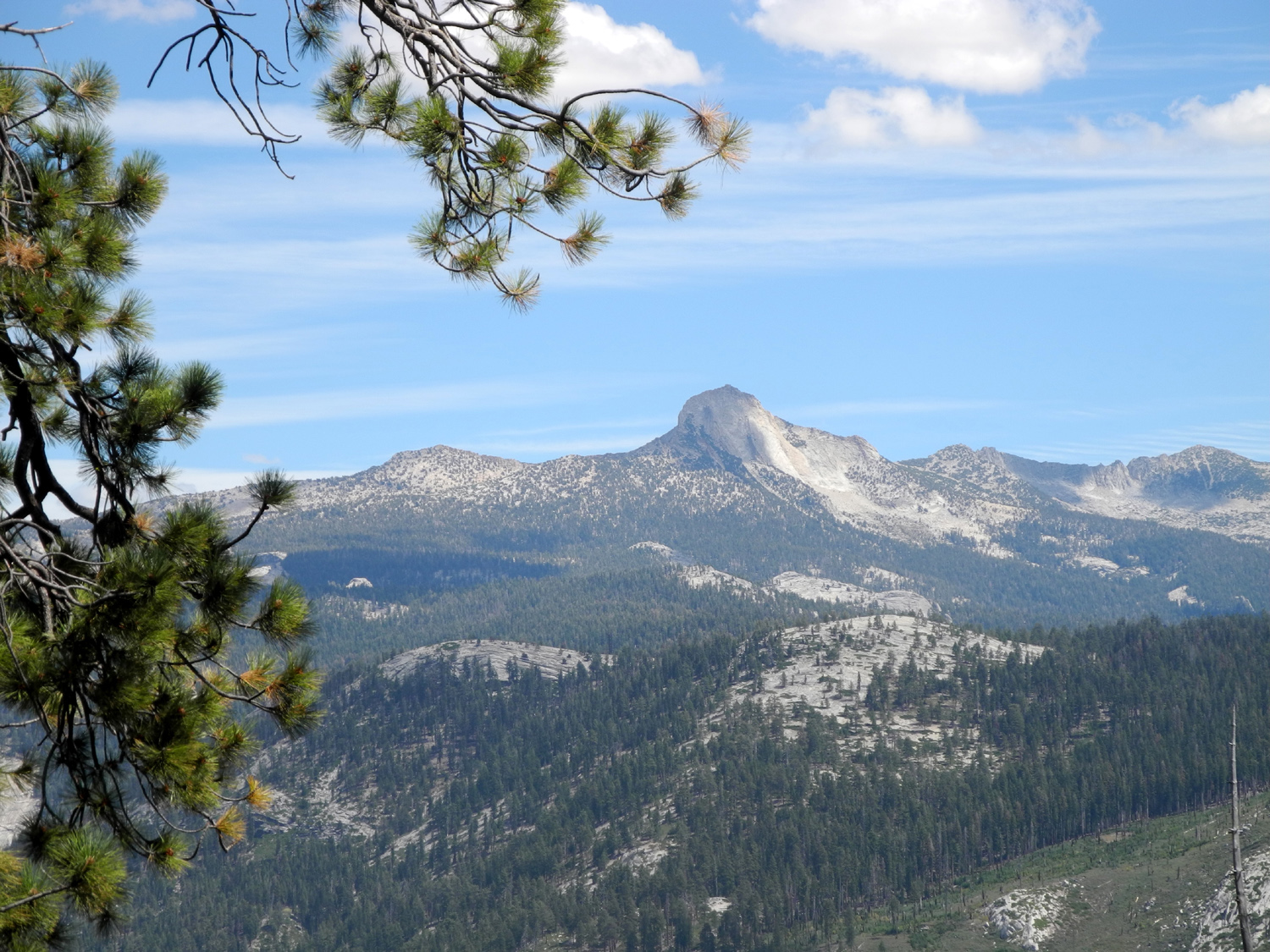
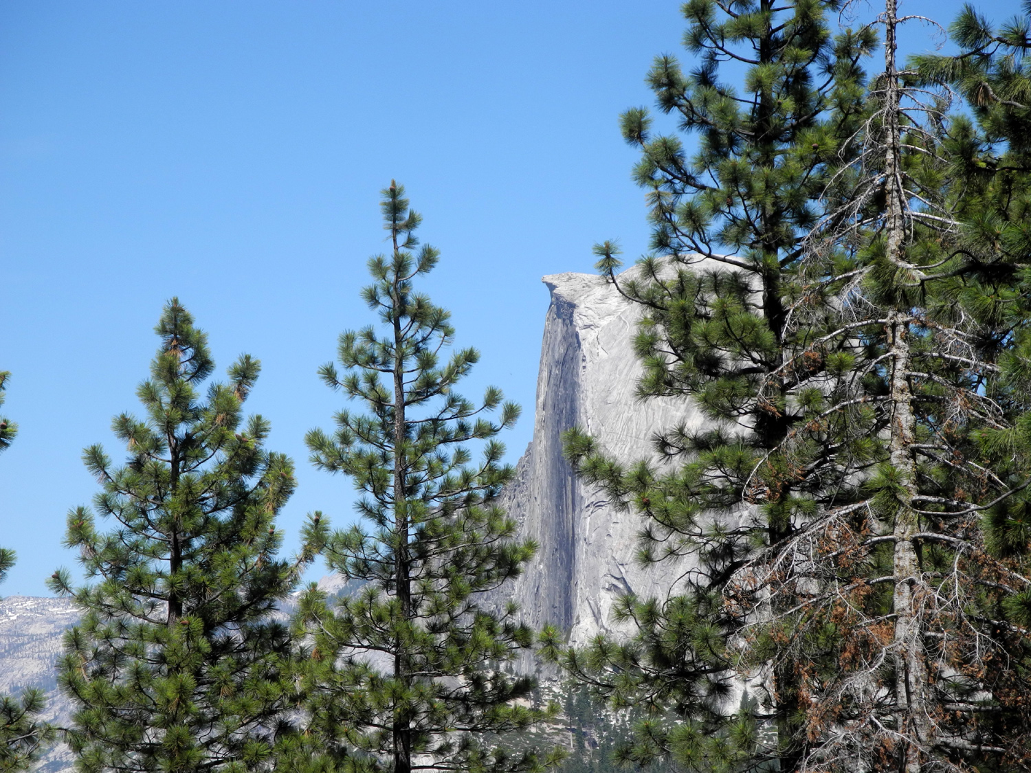
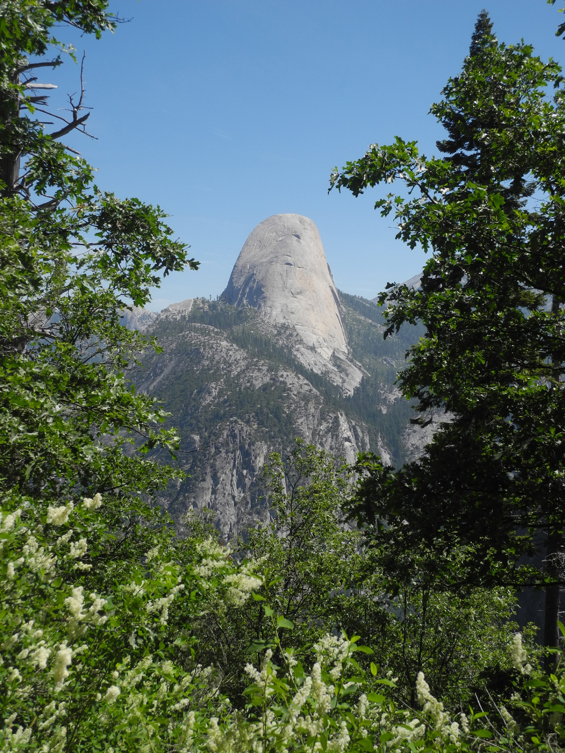
Mt. Hoffman, 10,800 above sea level, north of Yosemite Valley | Half Dome through the pines |
 |
 |
 |
| Half Dome from the Panorama Trail below Glacier Point | Illilouette Falls | Half Dome and Illilouette |
 |
||
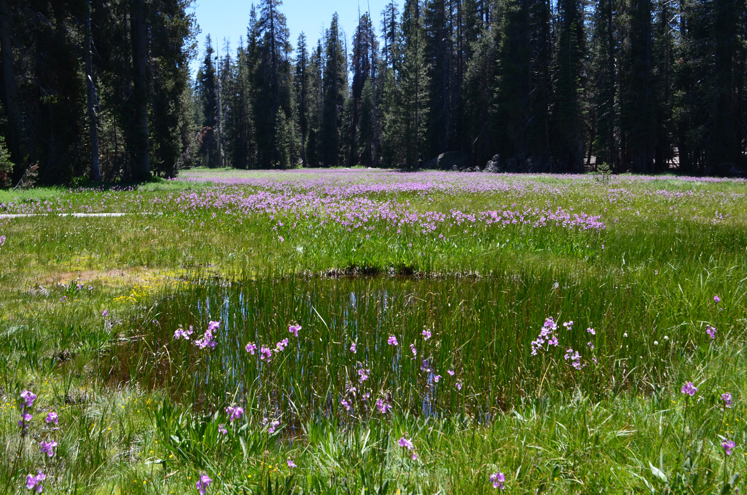
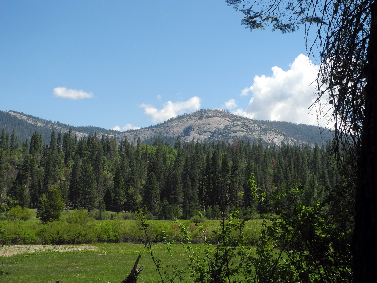
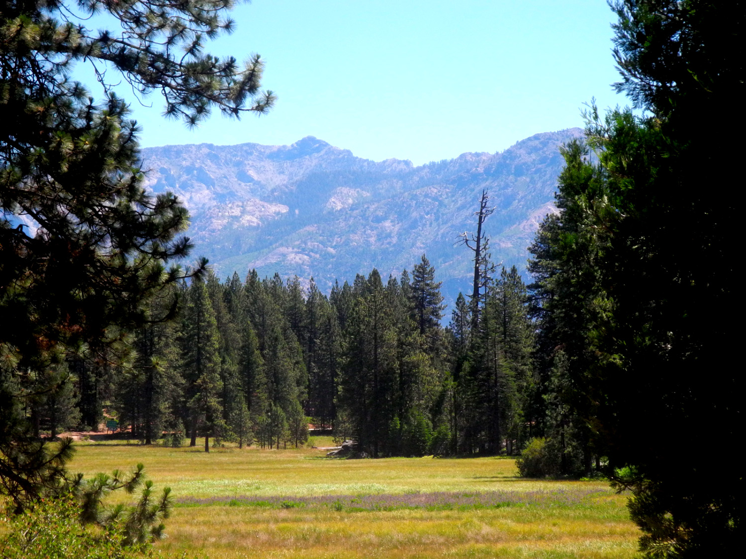
| This delightful meadow is just inside the border of Yosemite National Park, in the far southeast | ||
 |
 |
 |
| The Overhanging Rock at Glacier Point | Wawona
Dome, looking across the meadow |
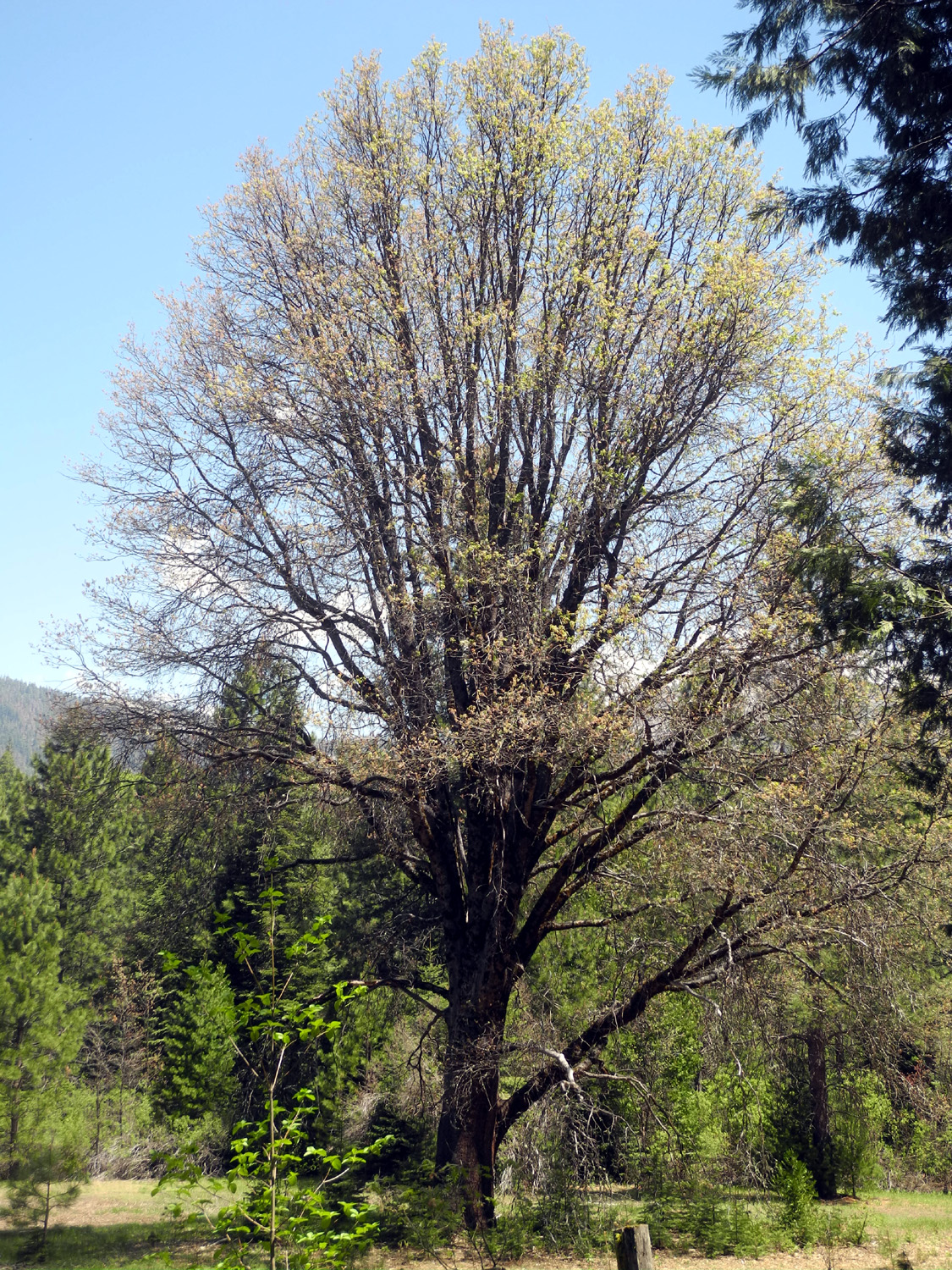
New
leaves on black oak in Wawona Meadow |
 |
 |
 |
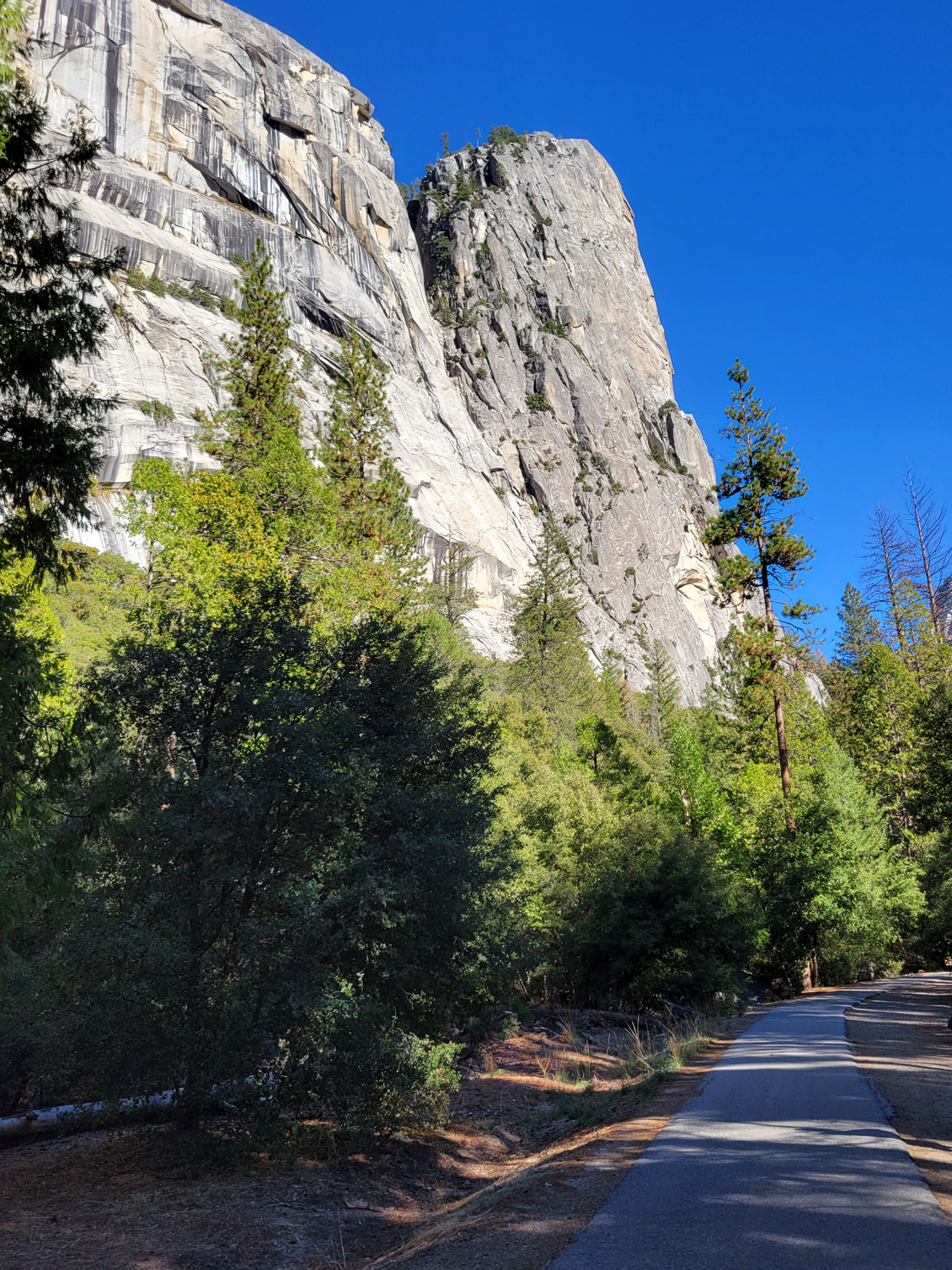
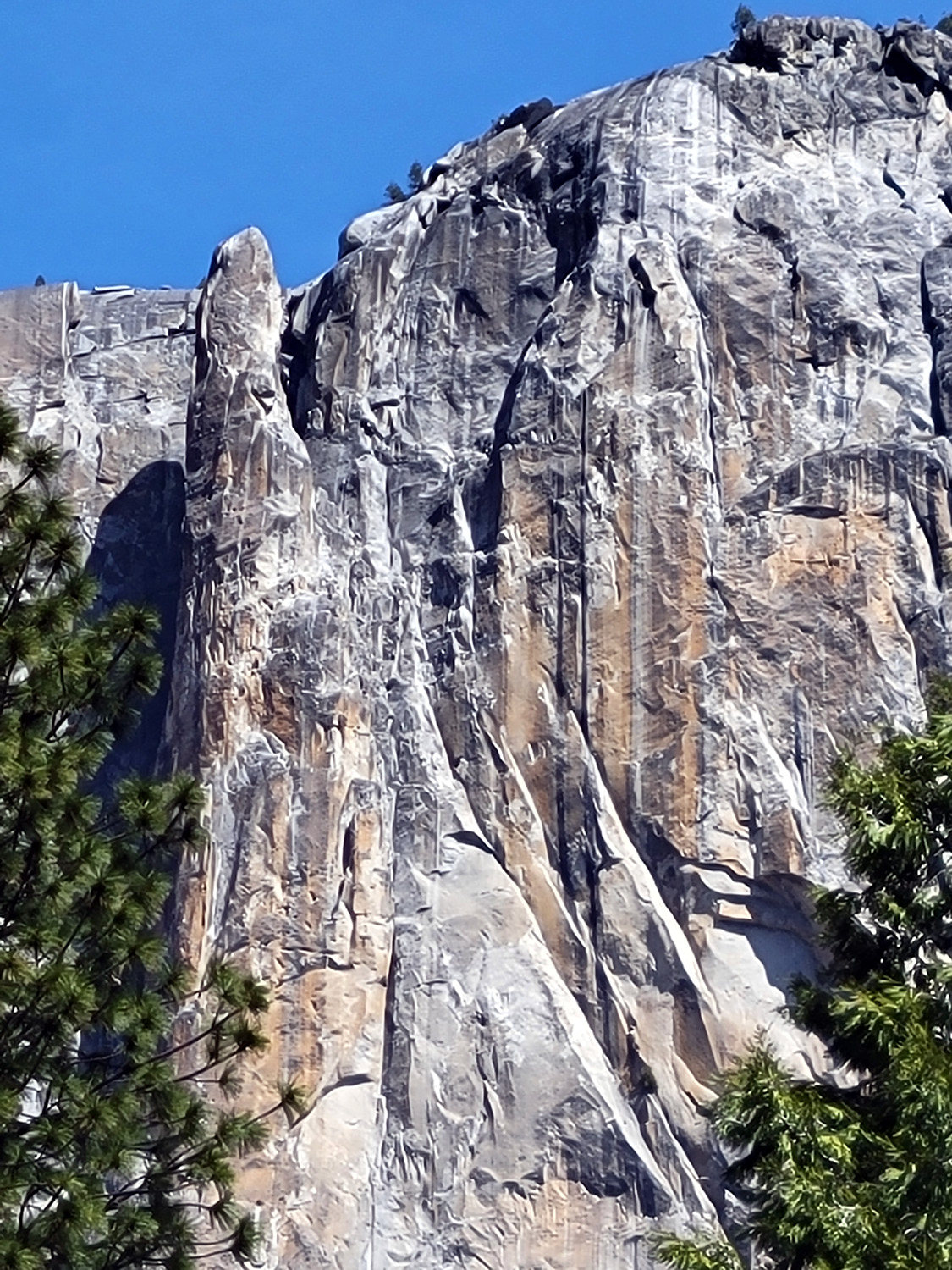
| The
Three Brothers, between El Capitan and Yosemite Falls |
High on a cliff on the north side of the valley, this arrow says "Go west" | A closer look |
 |
 |
 |
| An October 2021 rainstorm gave Yosemite Falls a bigger than usual flow | Washington
Column stands out from the main cliff |
North Dome and Washington Column |
 |
 |
 |
| Cascade Falls | Silver Strand | Ribbon Falls |
 |
 |
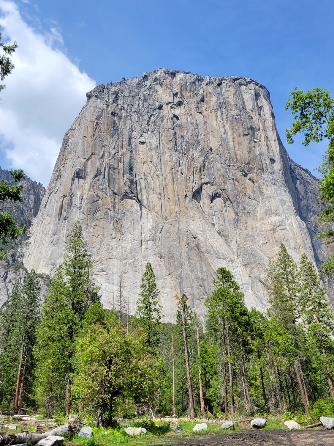 |
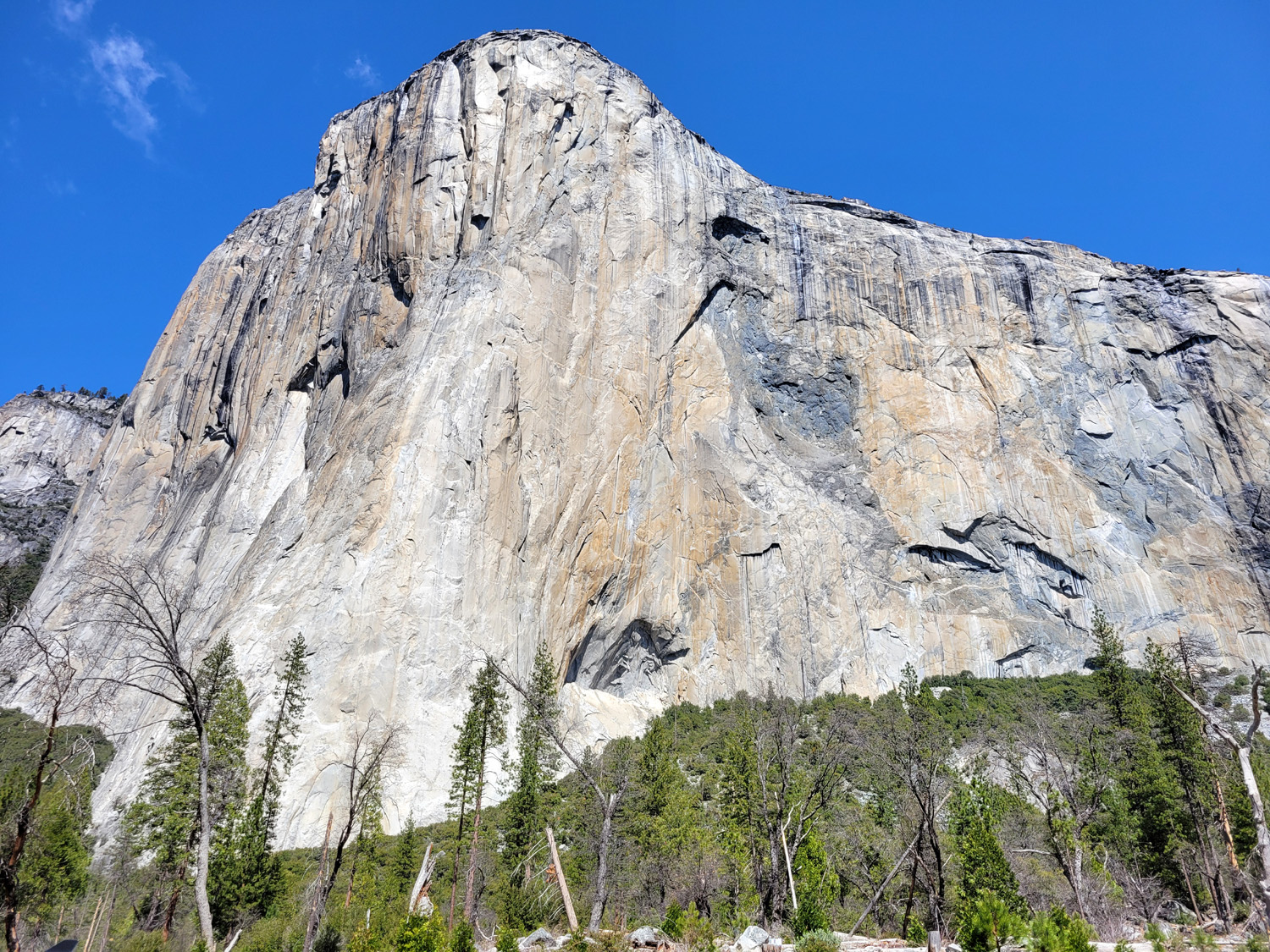
| Bridalveil Falls | Lahamite Falls | West face of El Capitan |
 |
 |
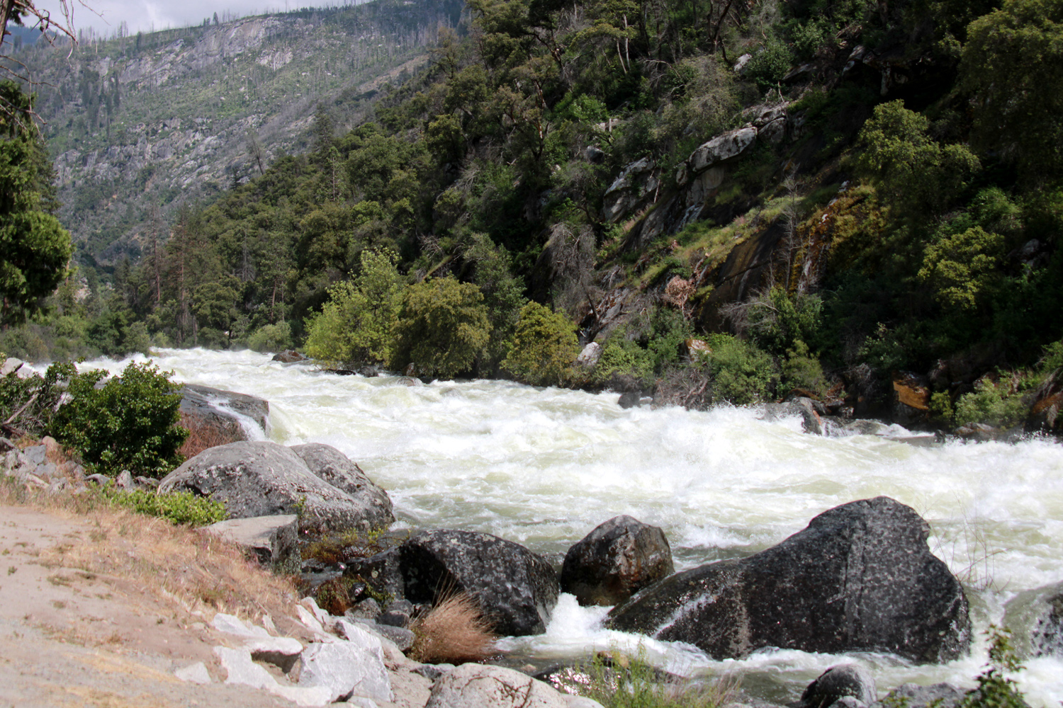 |
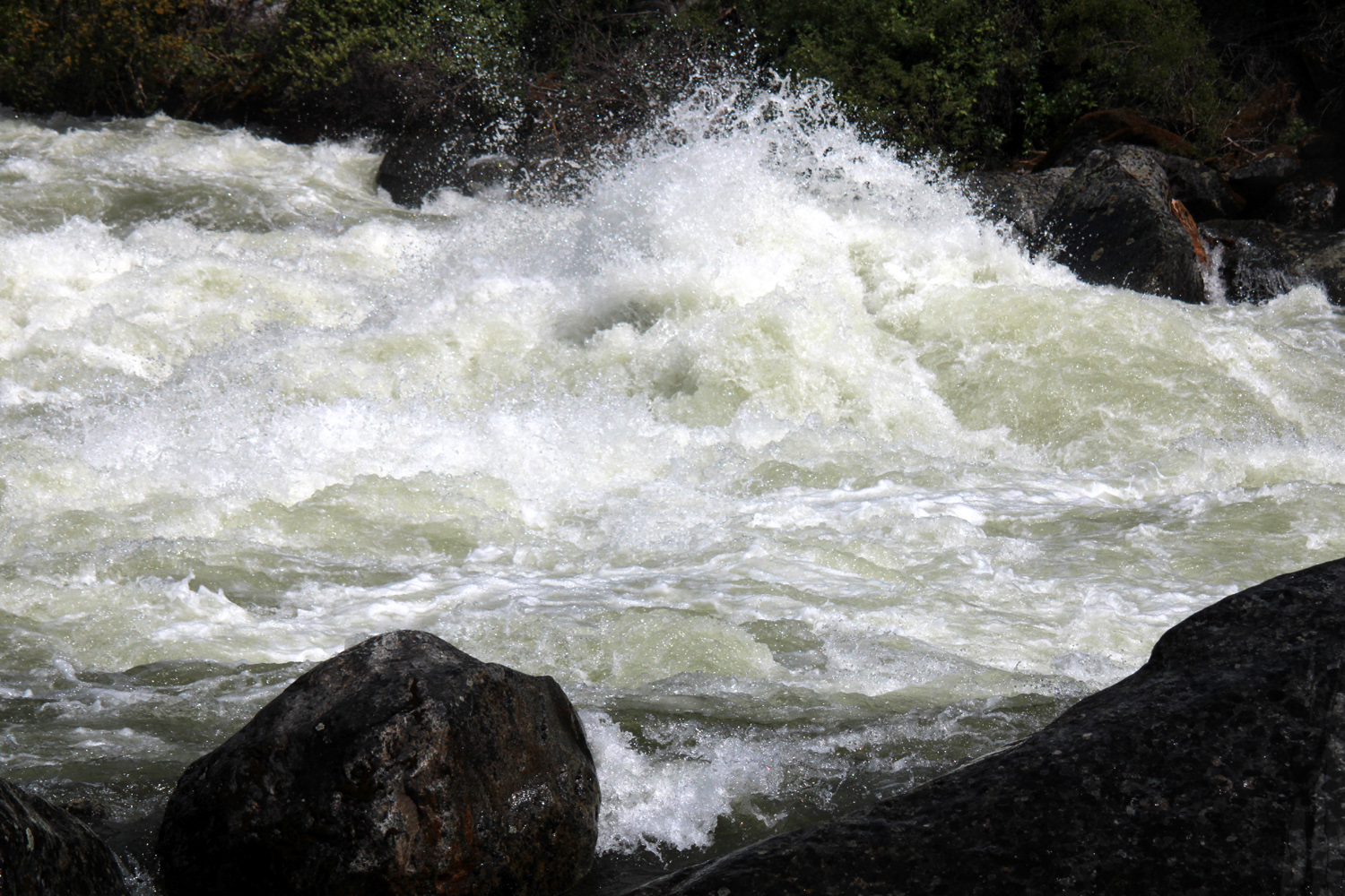
| The flooded Merced River and Cathedral Rocks | Ribbon Falls and El Capitan | The
Merced River between the valley and El Portal was all white water rapids |
 |
 |
 |
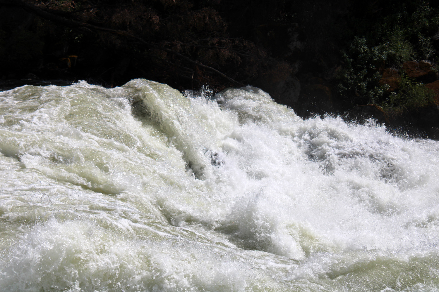
| Unseen boulders create these violent, beautiful and dangerous sights | Hikers
are visible going up the cable to the top of Half Dome (Jack Upshaw photo) |
|
 |
 |
 |
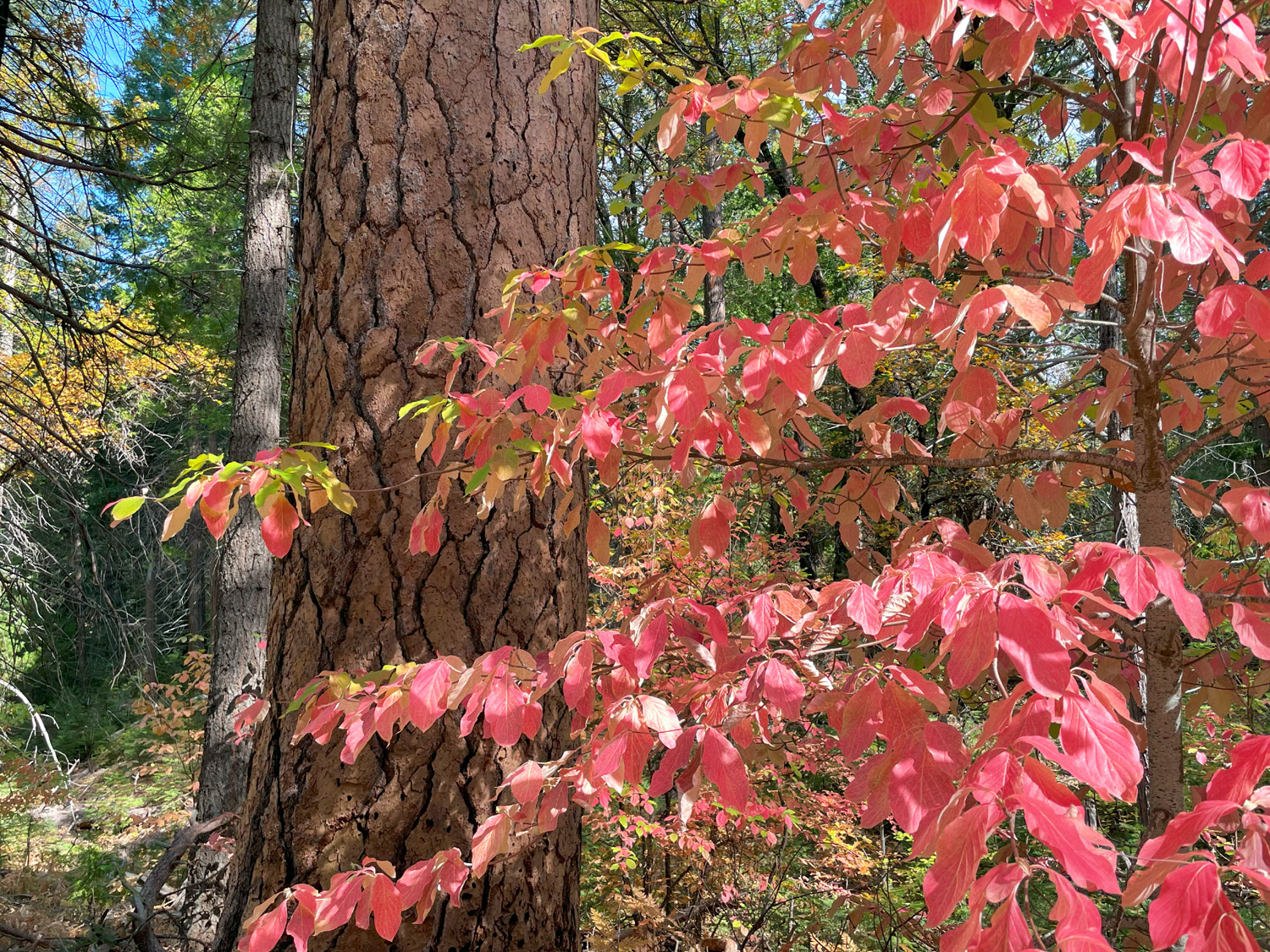
| Fall
on the Wawona Loop Trail (by Susan Crandall) |
Dogwood
by the trail (by Wes Thiessen) |
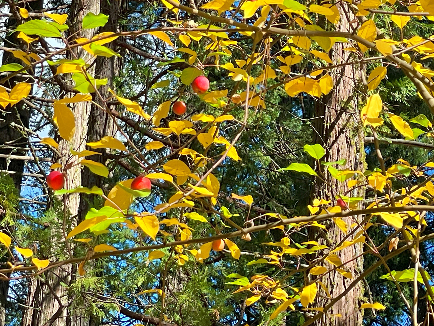
Apple tree by the trail (Thiessen) |
 |

|
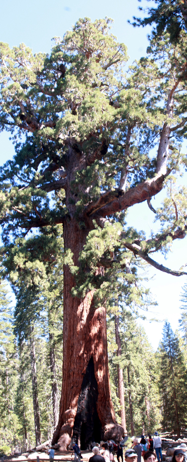 |
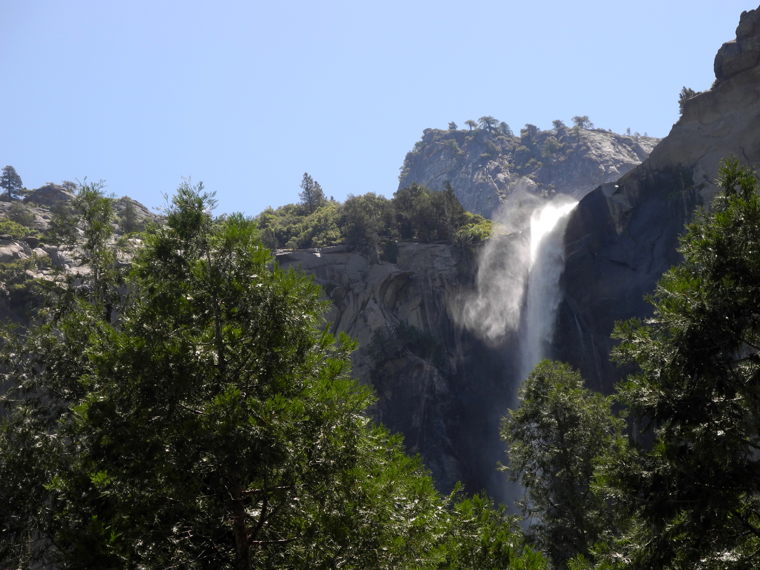
| Bridalveil falls drifts in the wind | Bachelor and the Three Graces | The iconic Grizzly Giant |
|
 |
 |
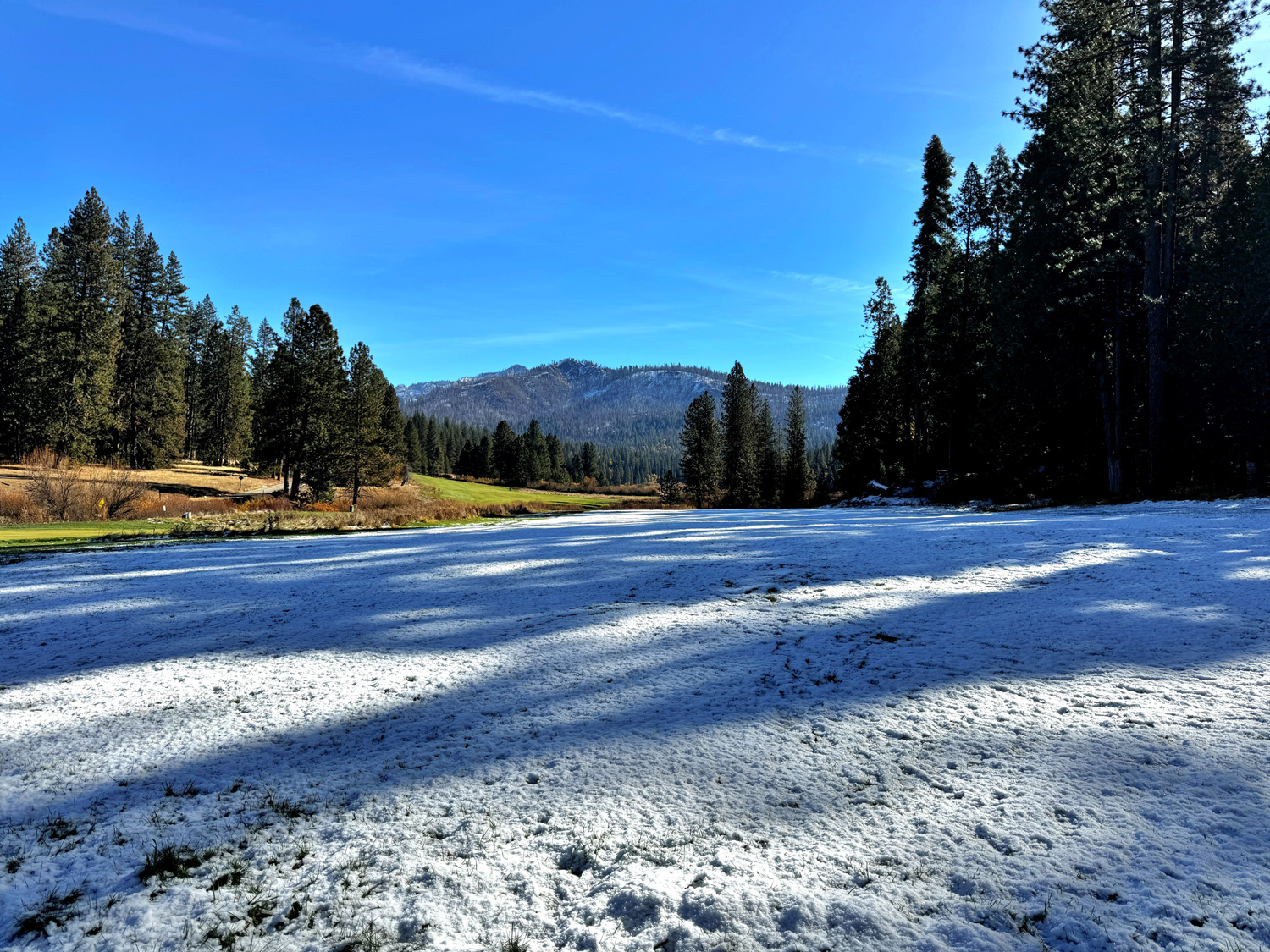
| Snow on the Wawona Meadow (Thiessen) |
Snow on the Meadow Loop Trail (by Susan Crandall) |
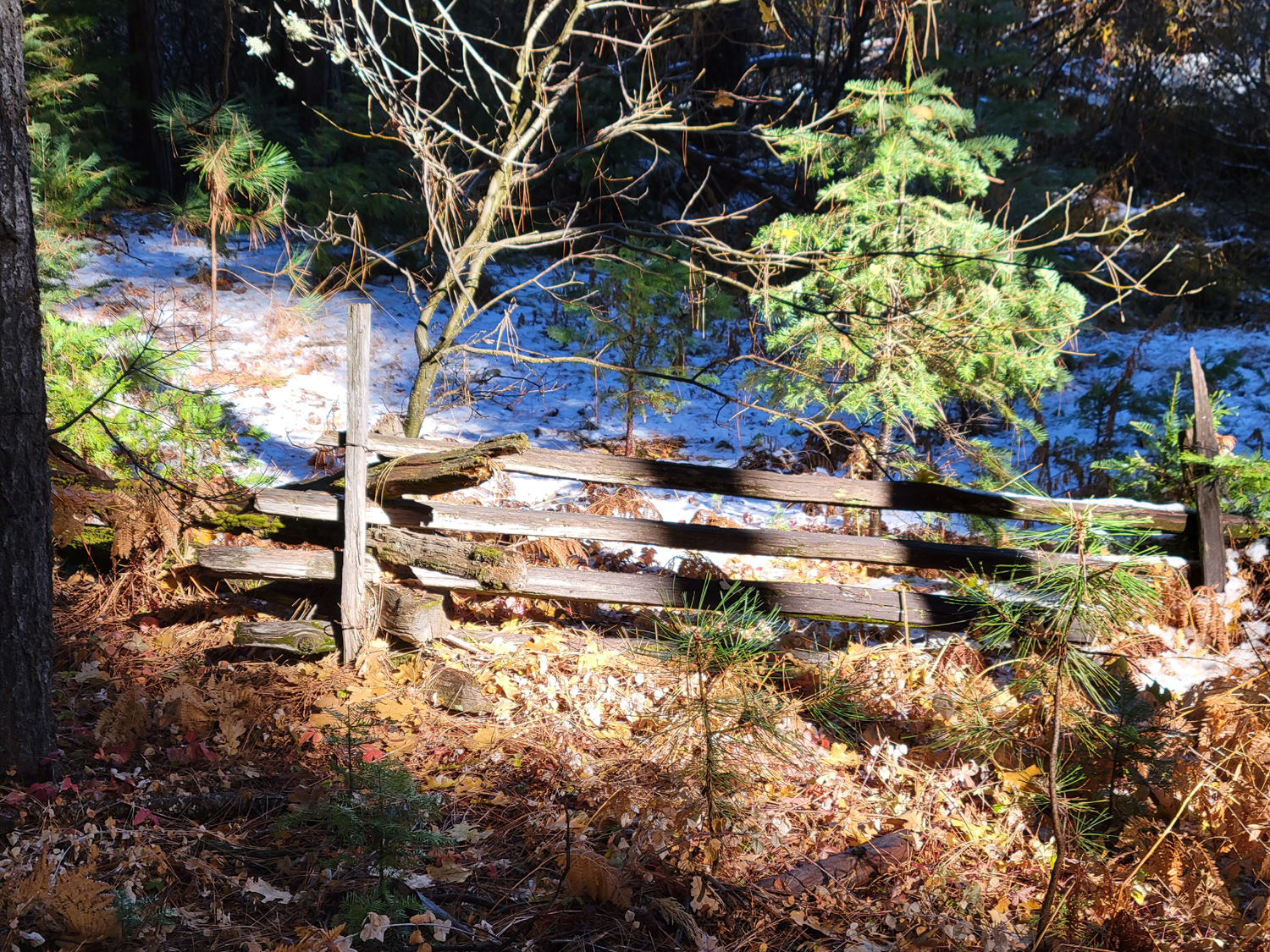
Much
of the meadow is surrounded by this split rail fence |
|
 |
 |
| Clouds Rest in the distance is buried in snow | Bridalveil Falls from the new viewing platform | A
graceful cascade drops down the face of the Royal Arches |
|
 |
 |
|
Lost arrow stands out from the cliff east of Yosemite Falls |
The massive face of El Capitan | Sentinel Rock |
|
|
 |
 |
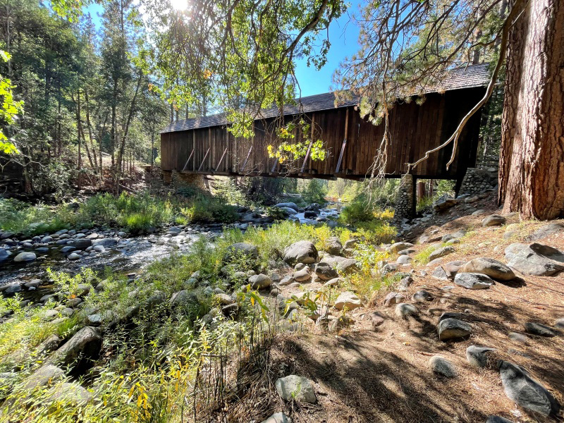
| The
covered bridge at the Wawona History Center |
Plants
by the Wawona Meadow, heading into fall |
An idyllic scene along the meadow loop trail |
|
|
 |
|
View of Yosemite Falls from the Ahwahnee Hotel |
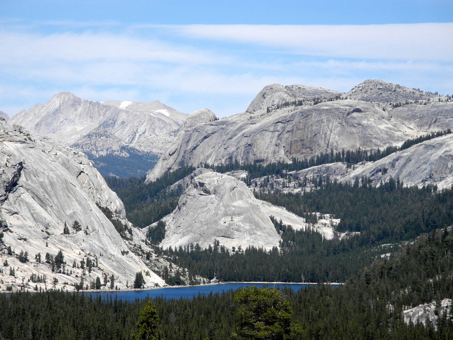
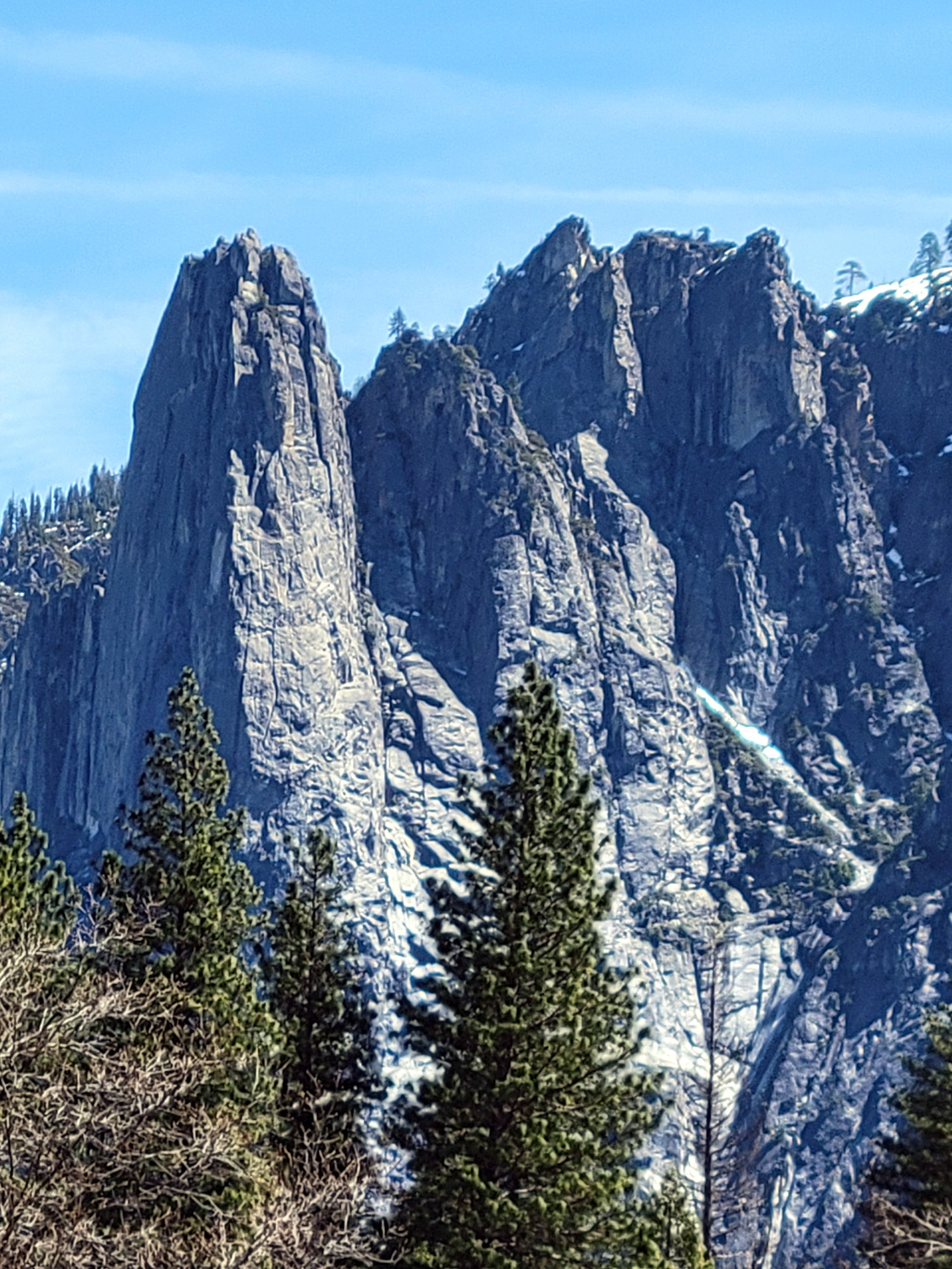
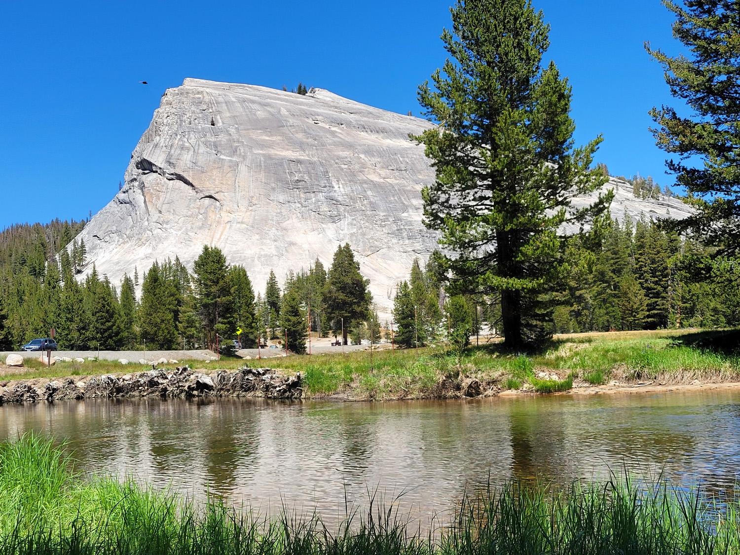
Cathedral Spires | Lembert Dome in Tuolumne Meadows |
| Sequoia and Kings Canyon National Parks | ||
 |
 |
 |
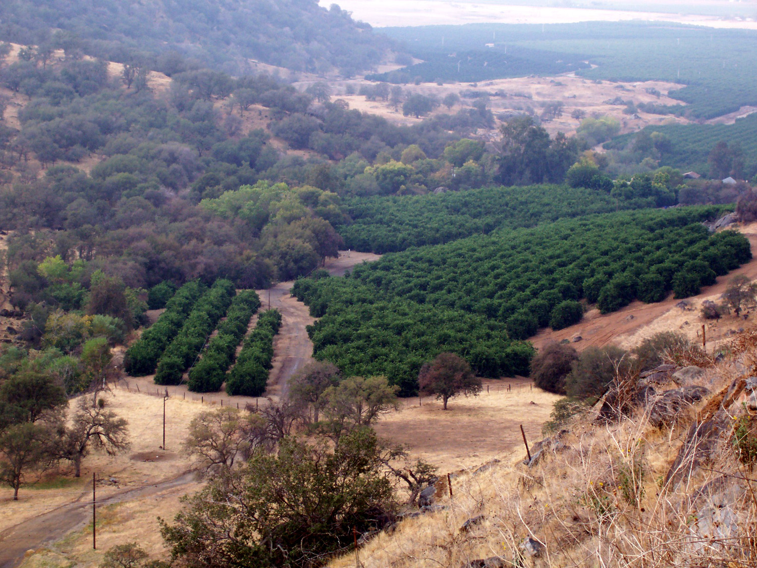
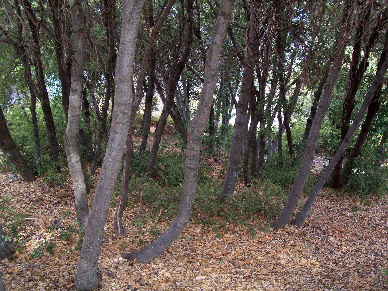
| Orange Grove in a little valley next to Highway 180, outside the park | A mass of live oak trees, near 180 on the grade into Kings Canyon | The Kings River near Horseshoe Bend |
 |
 |
 |
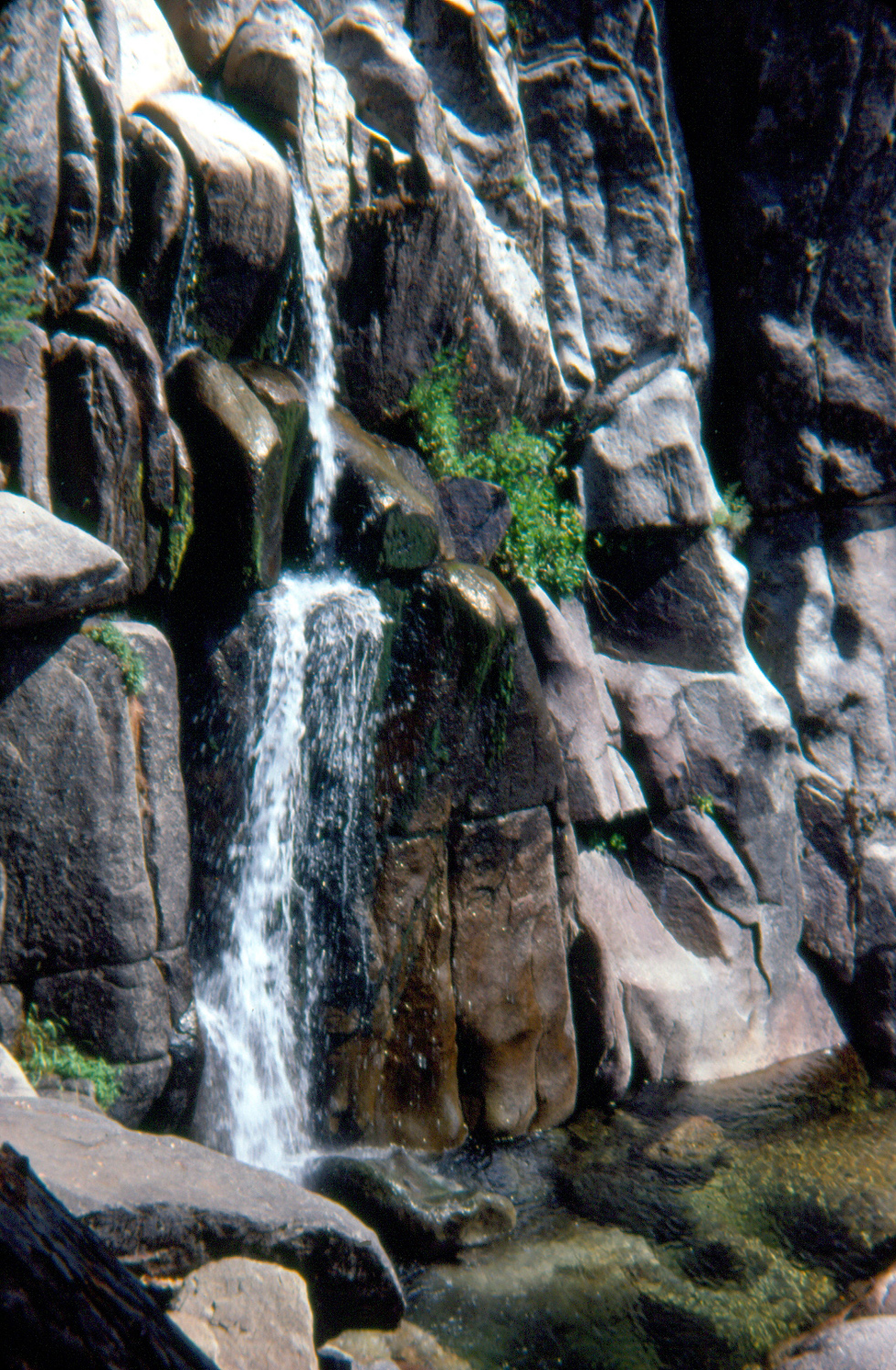
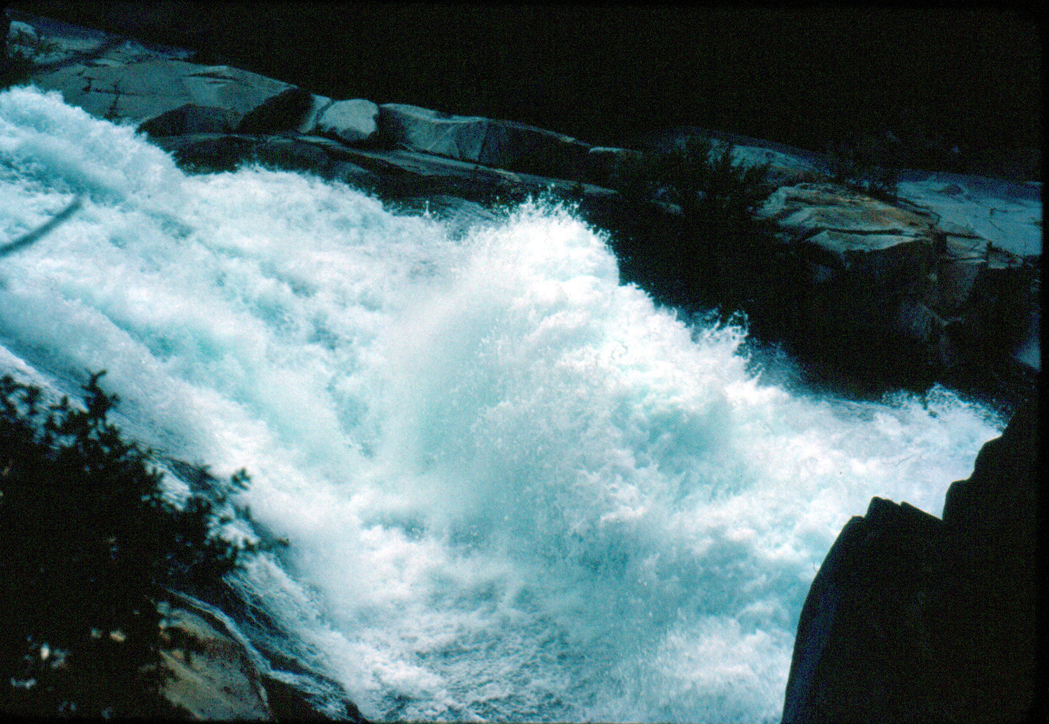
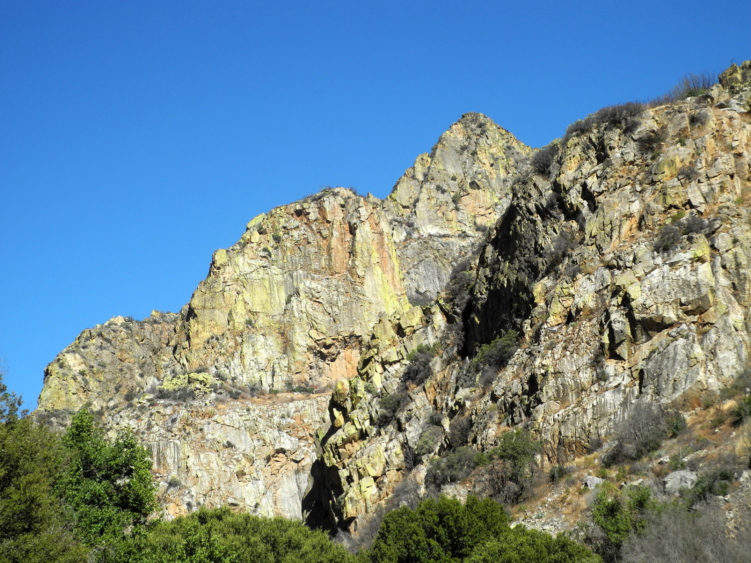
| Marble Mountain is the backdrop for this study in color and texture | Roaring River Falls in Kings Canyon National Park, near Cedar Grove |
Roaring River, above the falls, Kings Canyon National Park |
 |
 |
 |
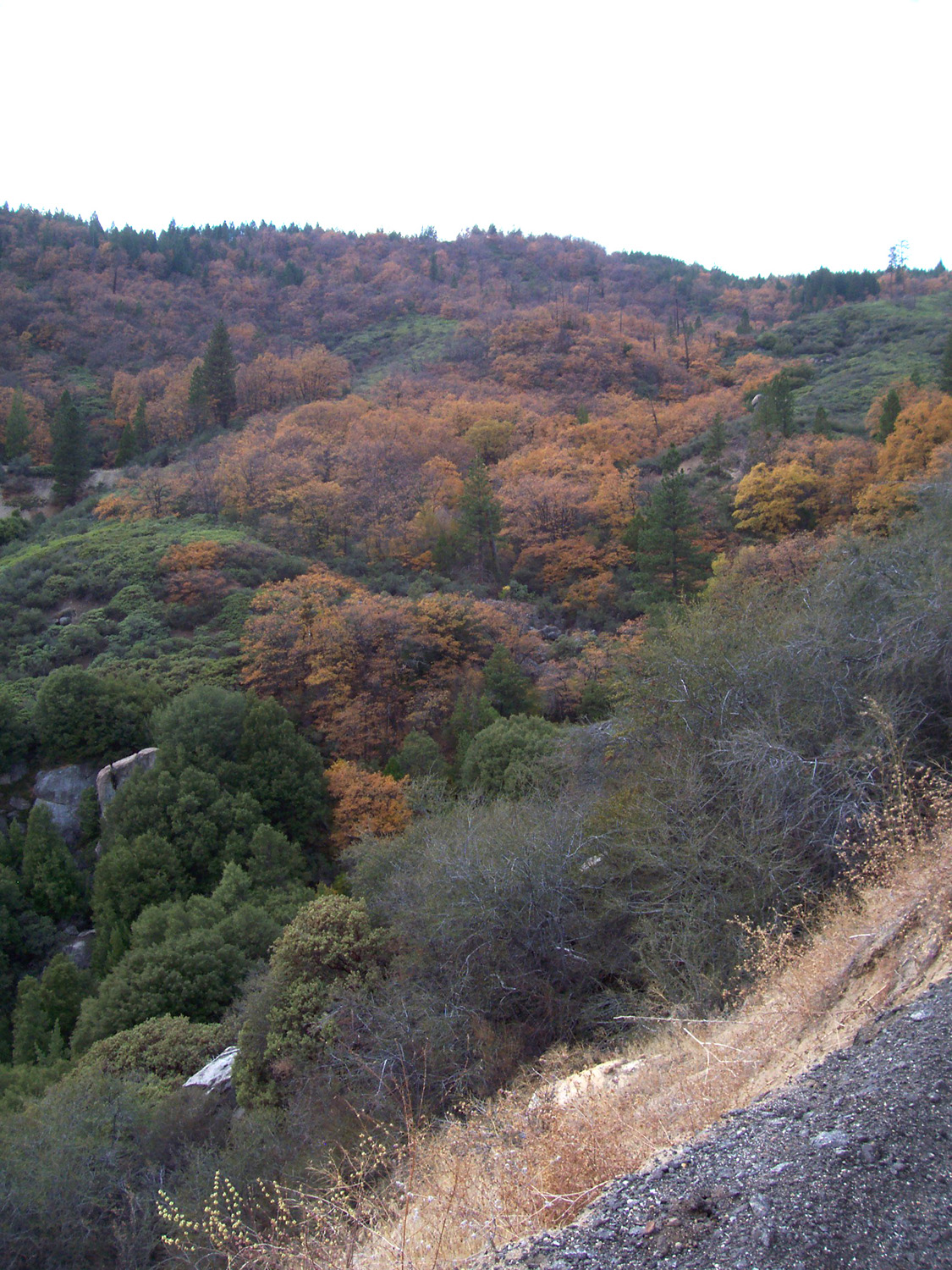
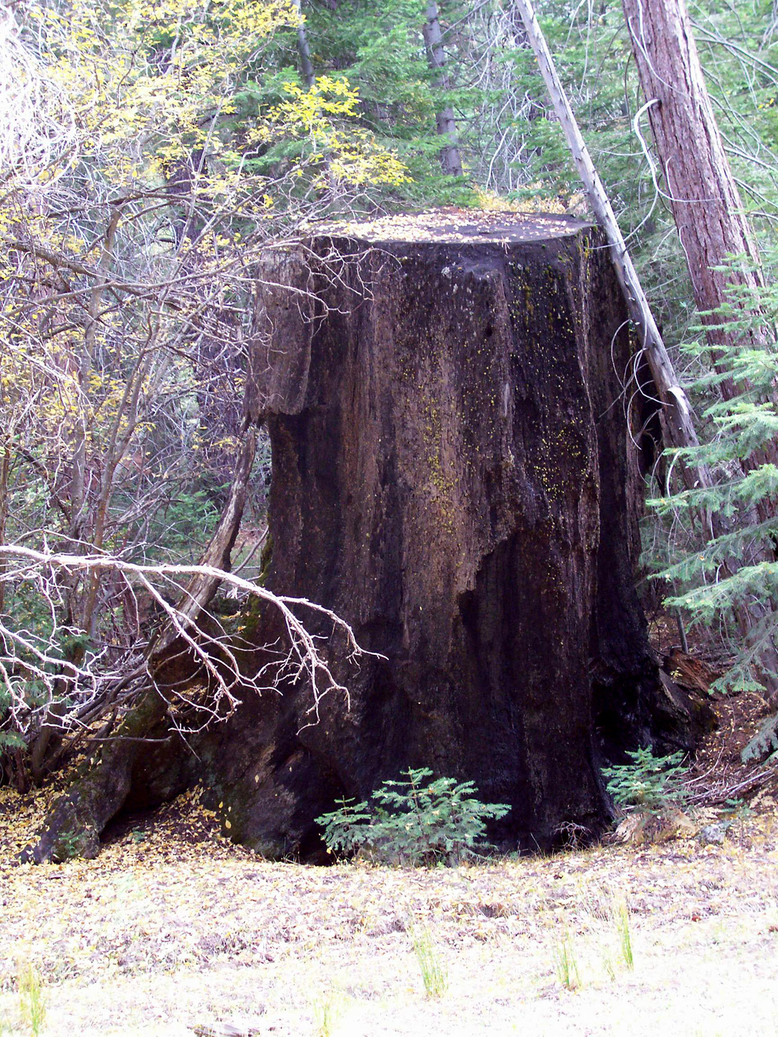
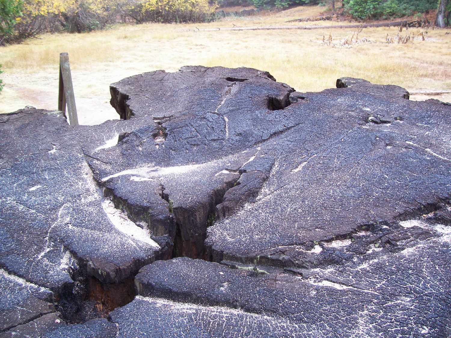
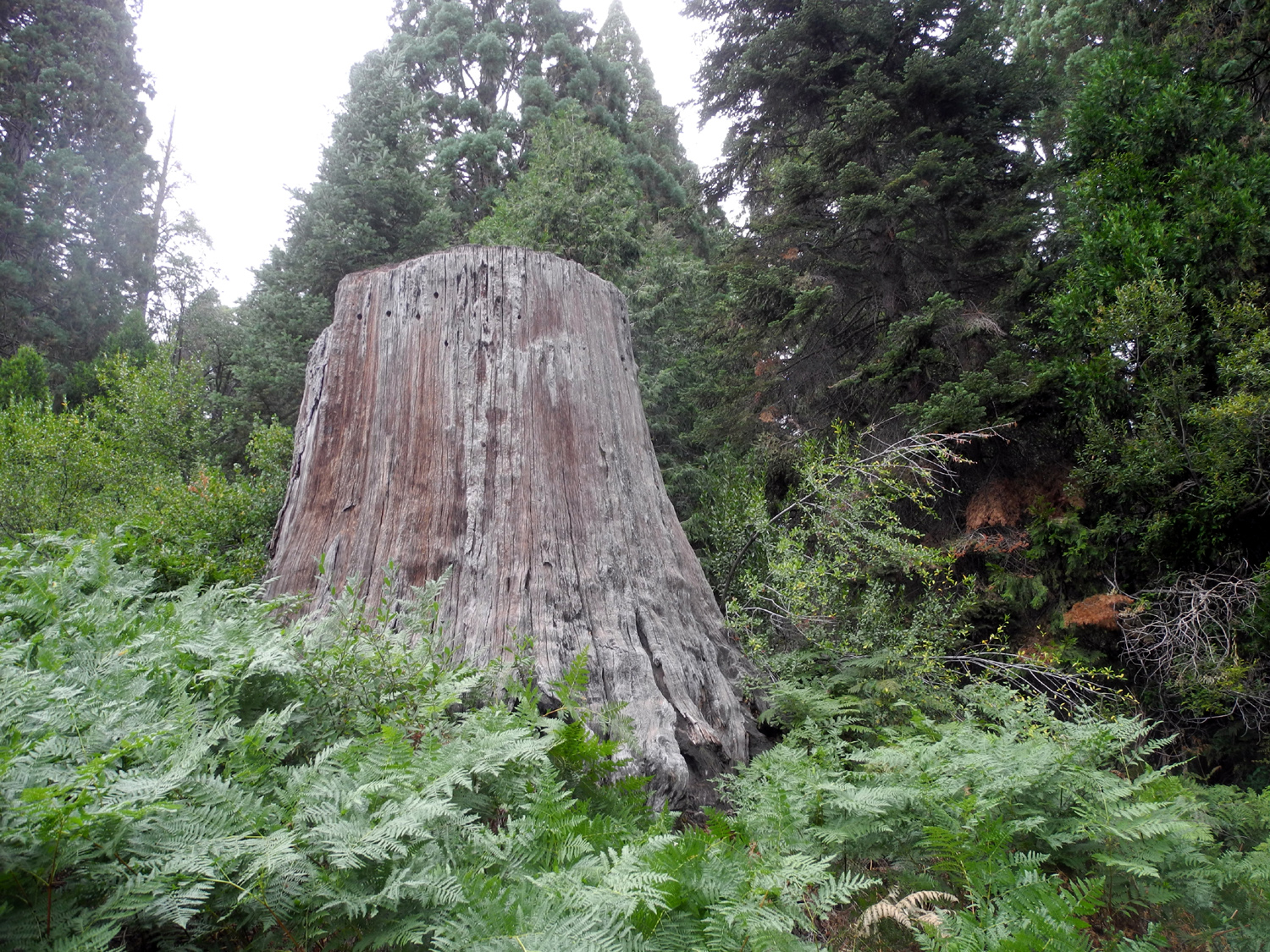
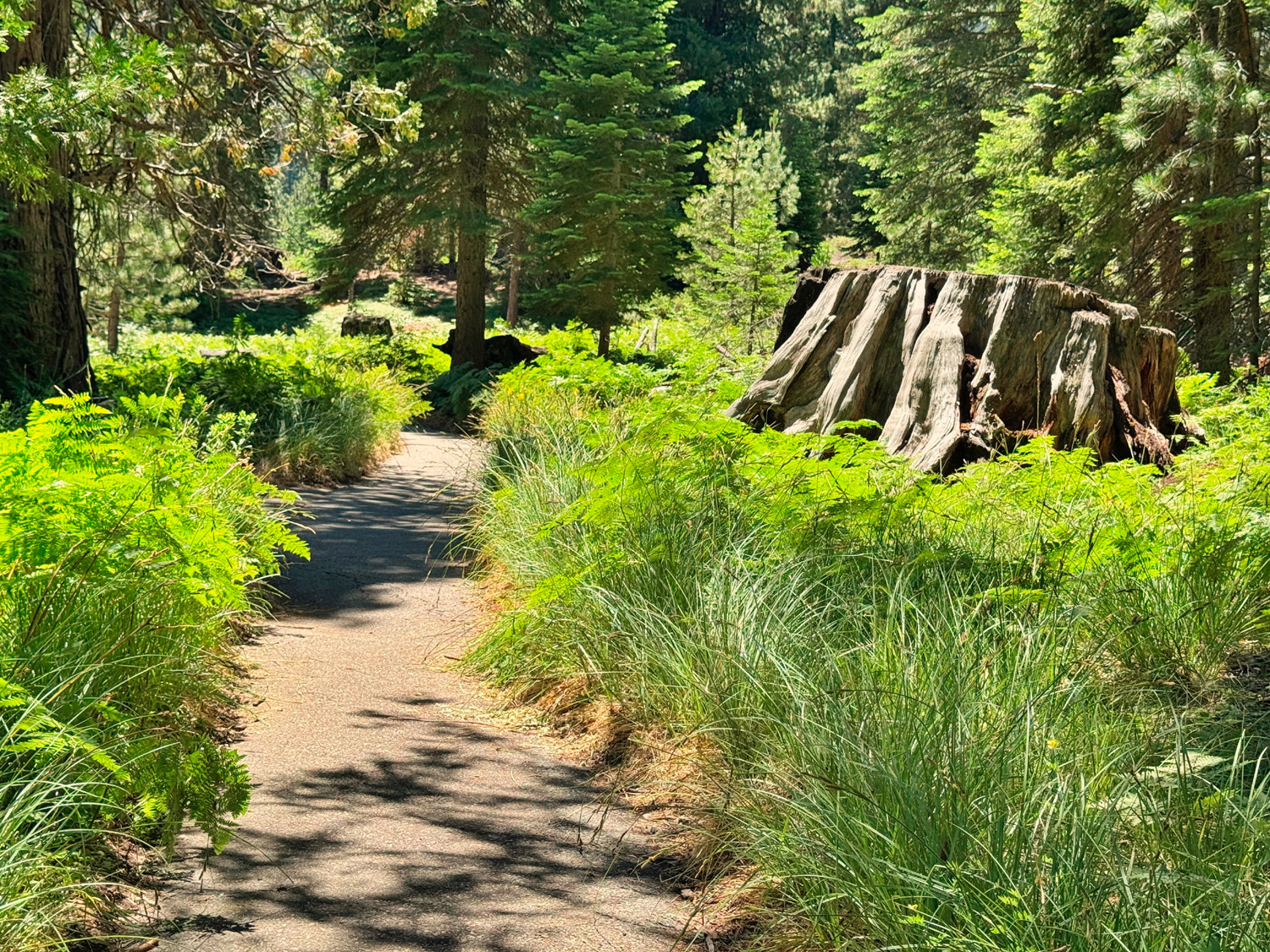
| Black oaks are changing color against an evergreen backdrop | Big stumps dot the Converse Basin, where thousands of redwoods were felled in the early 20th Century | Much of the wood from the trees went unused, and the company never made a profit |
 |
 |
 |
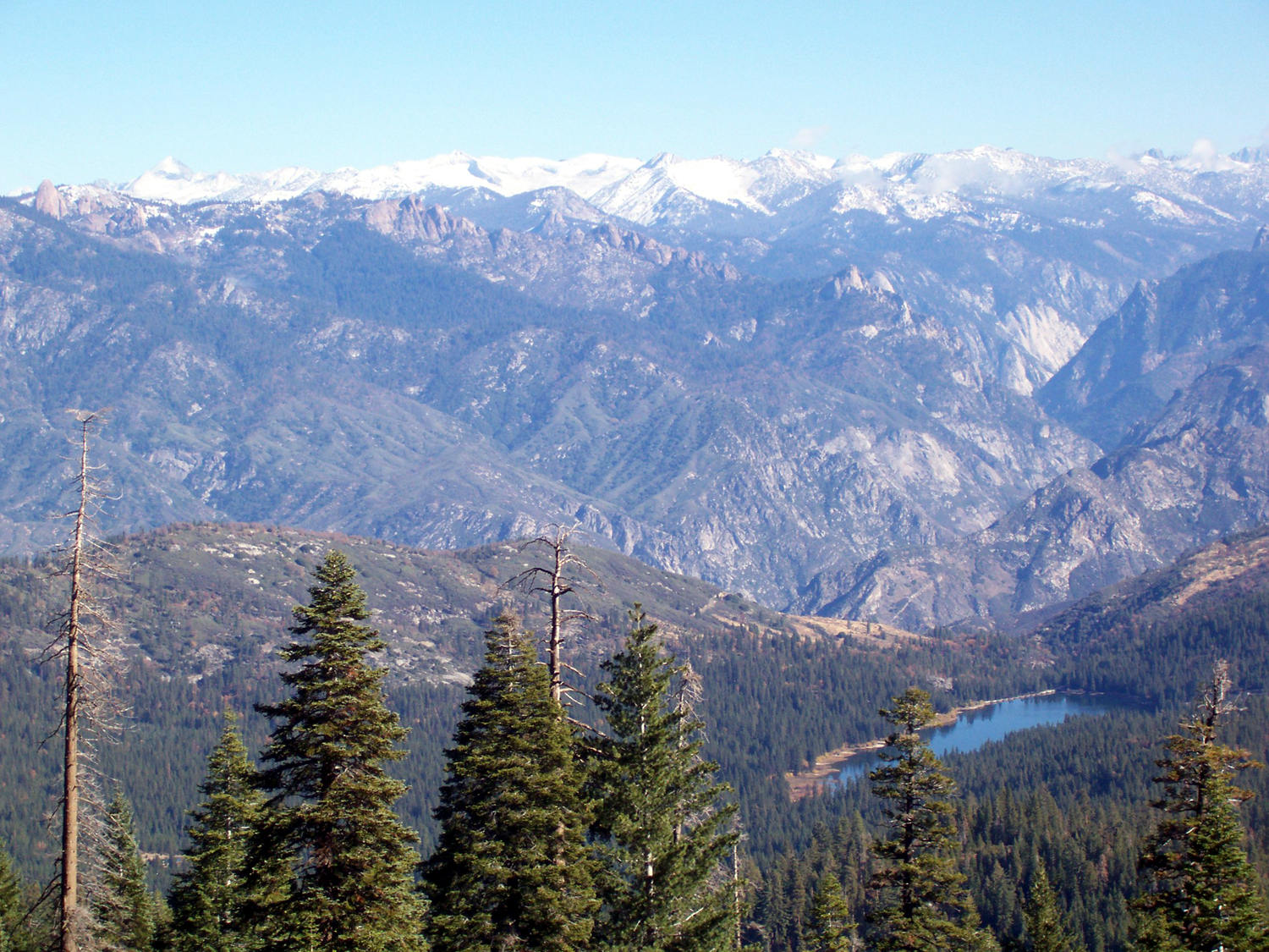
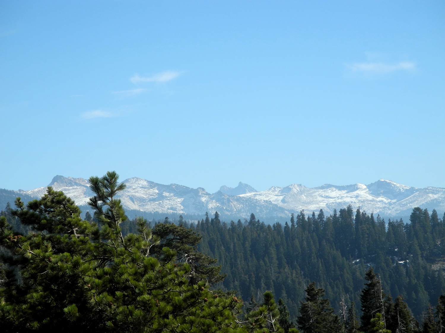
| Hume Lake and the High Sierra from Panoramic Point near Grant Grove | The General Grant, the Nation's Christmas Tree | Redwoods dominate in Grant Grove |
 |
 |
 |
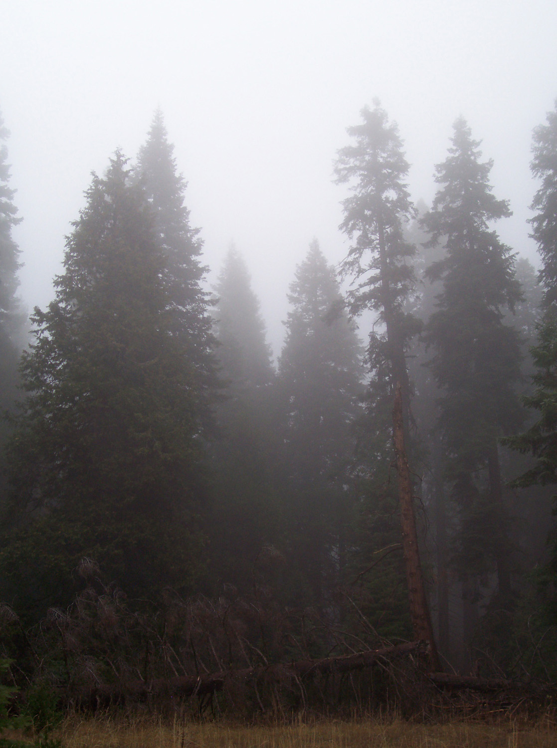
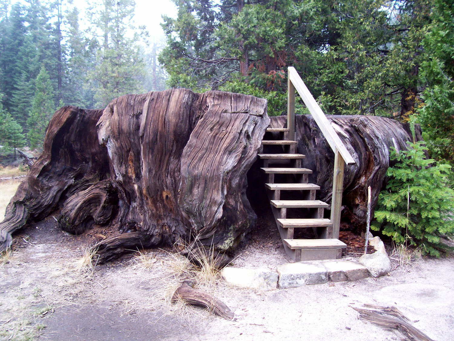
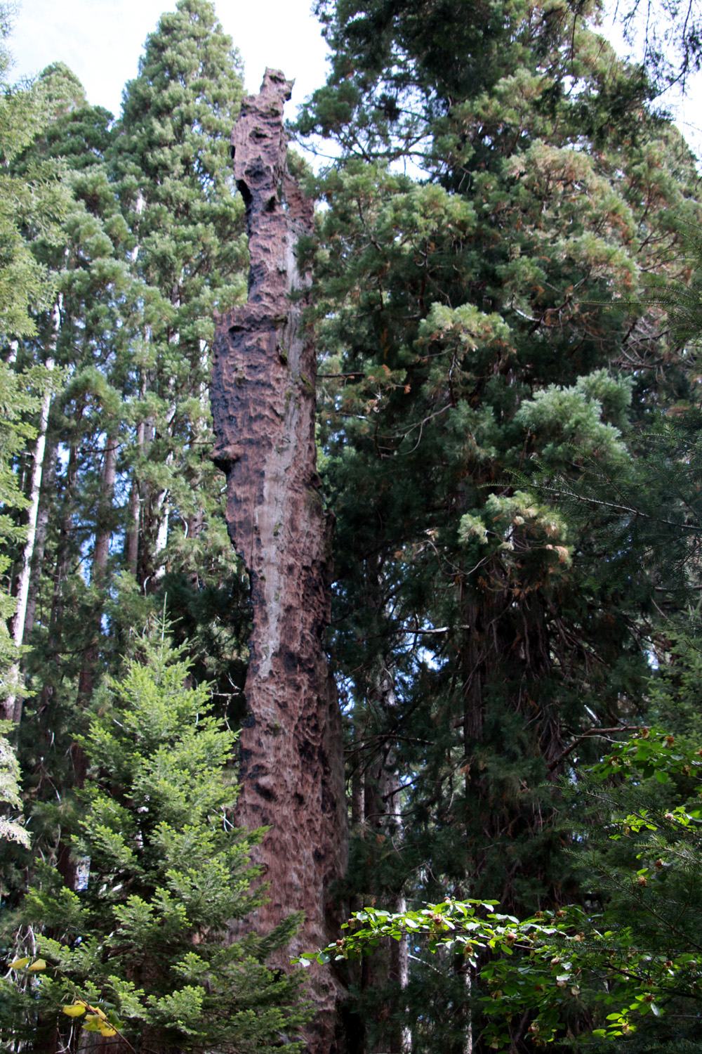
| Mist drifts over the mountains following an evening storm | Steps lead up to the top of the Mark Twain Tree stump | The tree was cut down in the 1800s to be exhibited in the east |
 |
 |
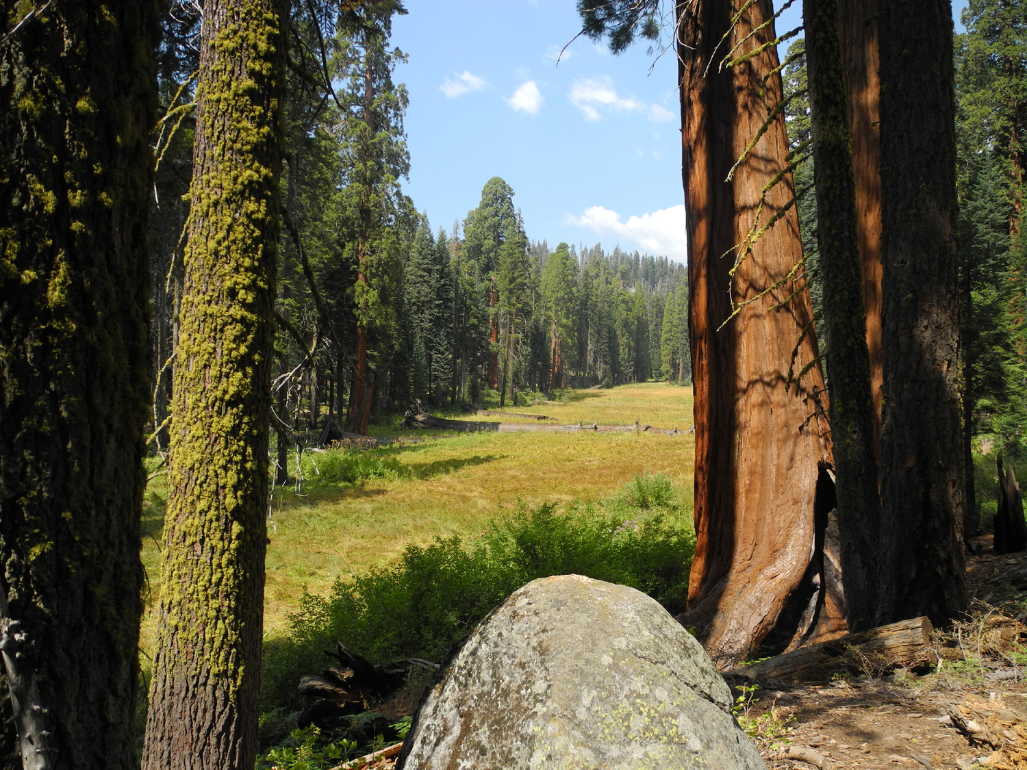 |
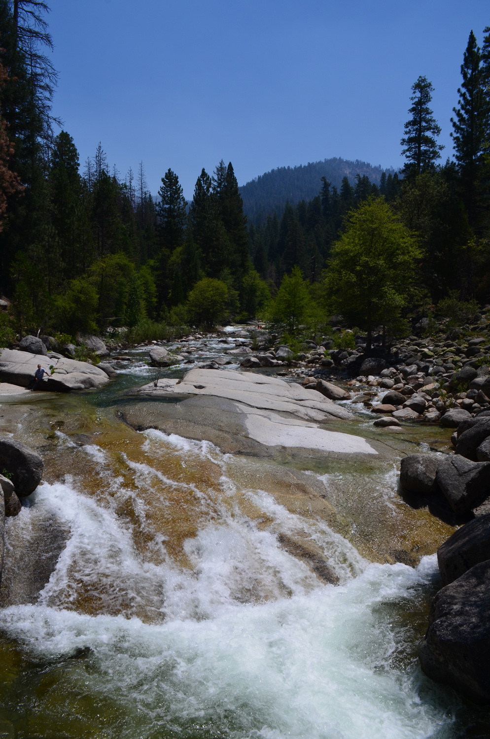
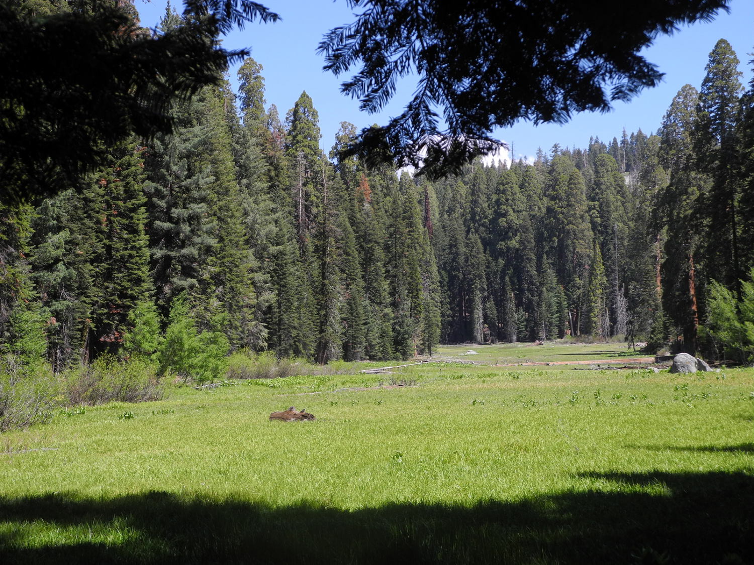
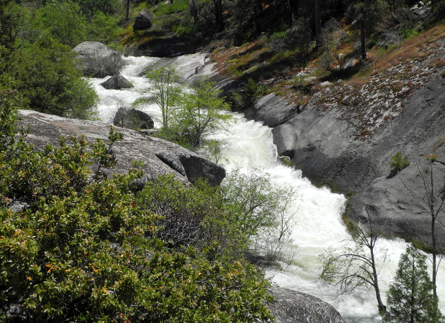
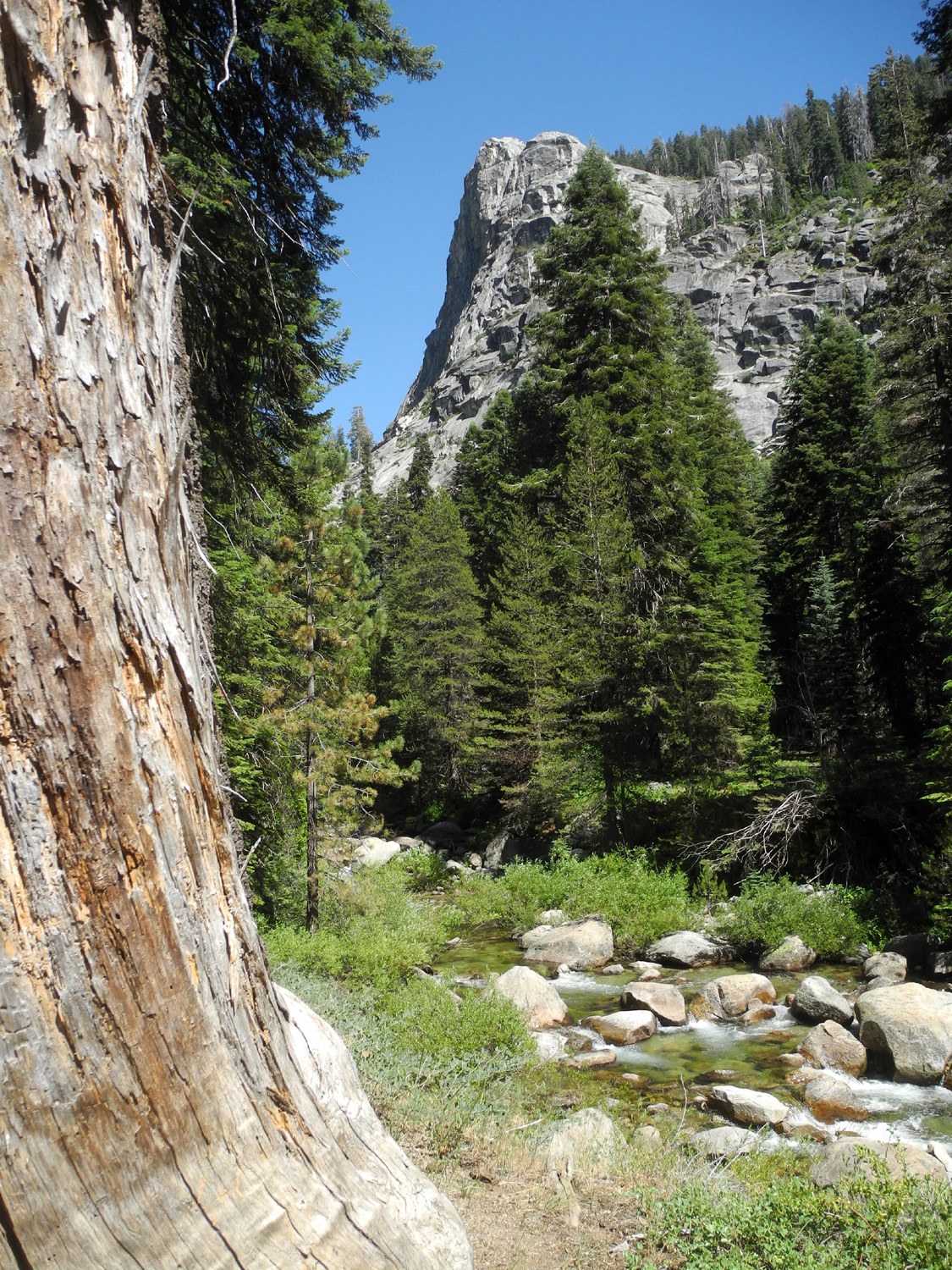
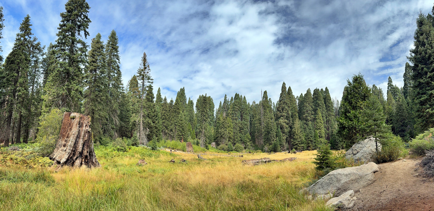
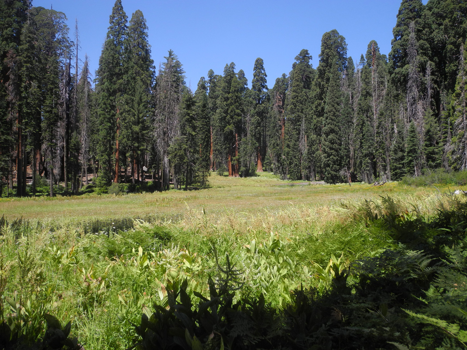
| Powerful rapids in Middle Fork of Kings River, a few miles upstream from Tehipite Valley | Pine needles decorate a granite cliff along the High Sierra Trail | Log Meadow, Sequoia Park |
 |
 |
 |
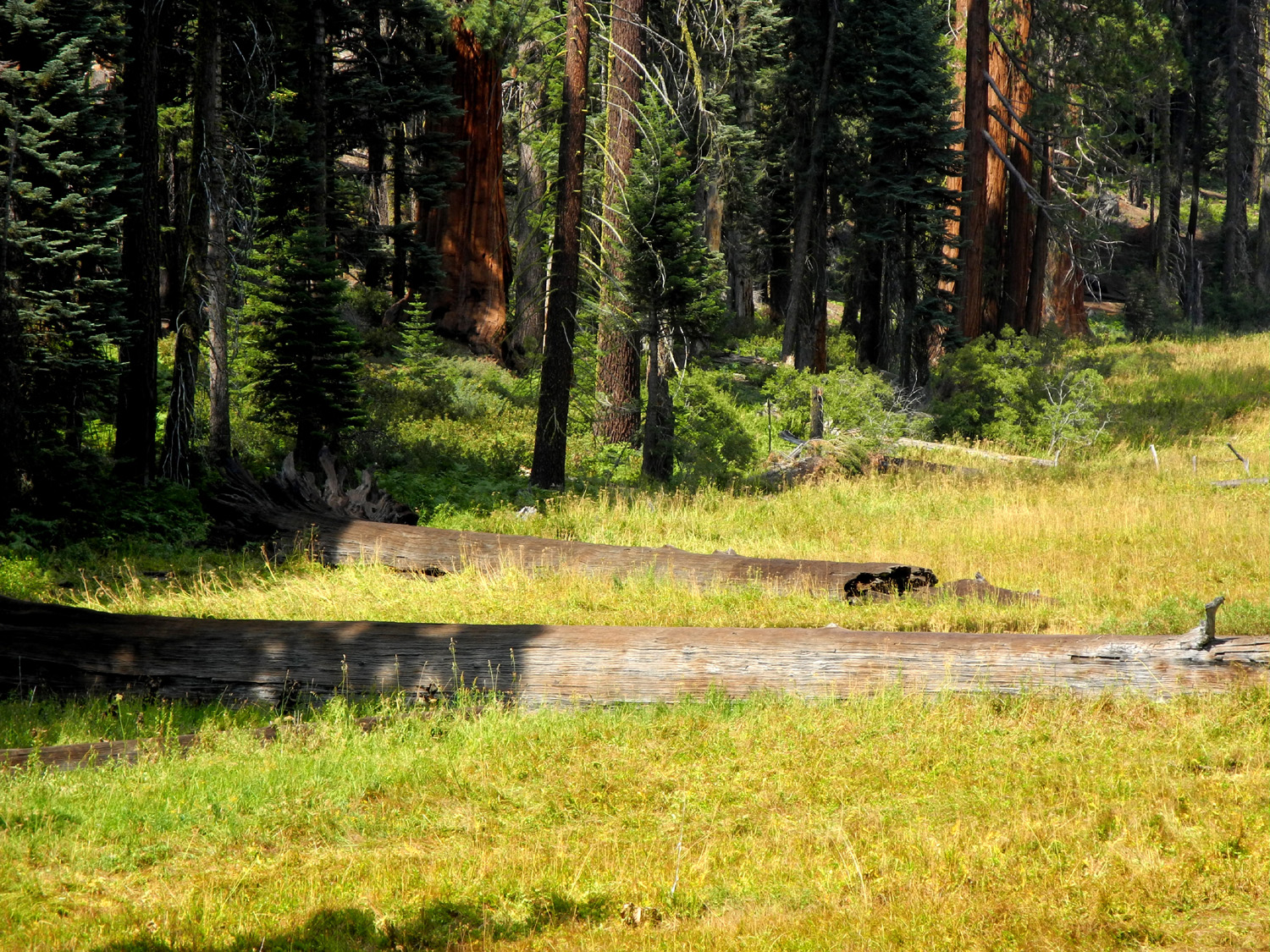
| Closer view of Log Meadow |
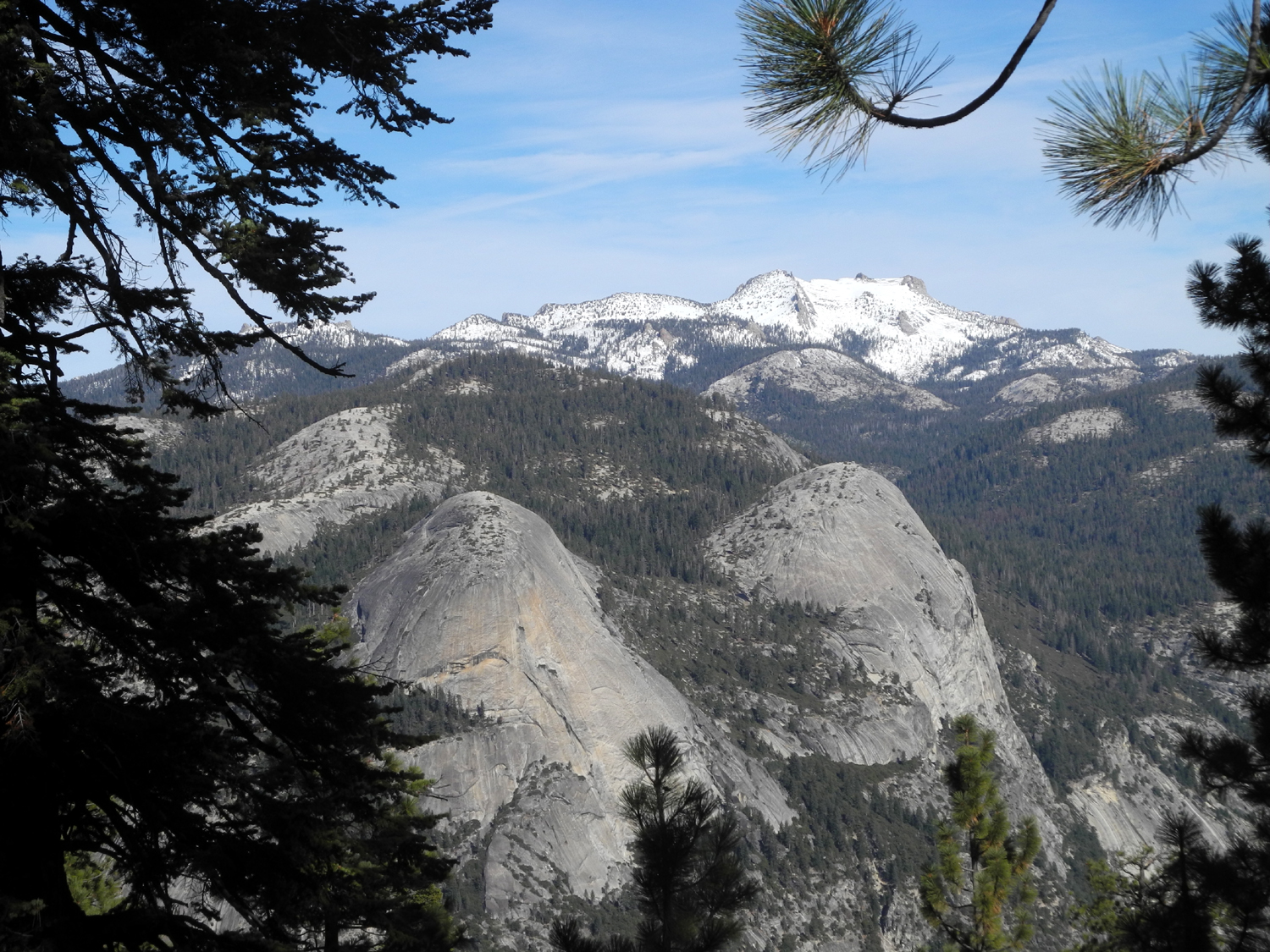
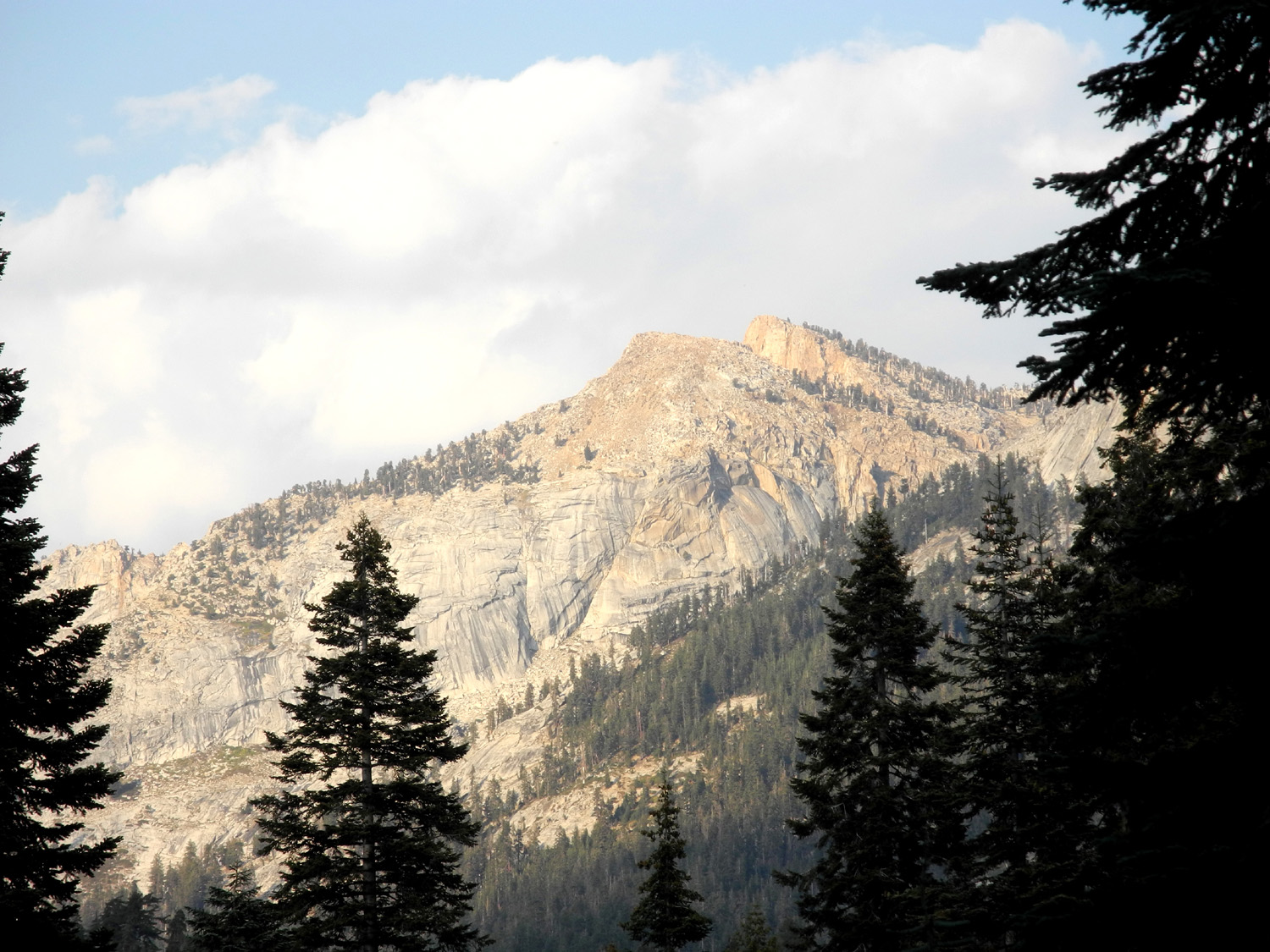
Mountains above Wolverton/Lodgepole area |
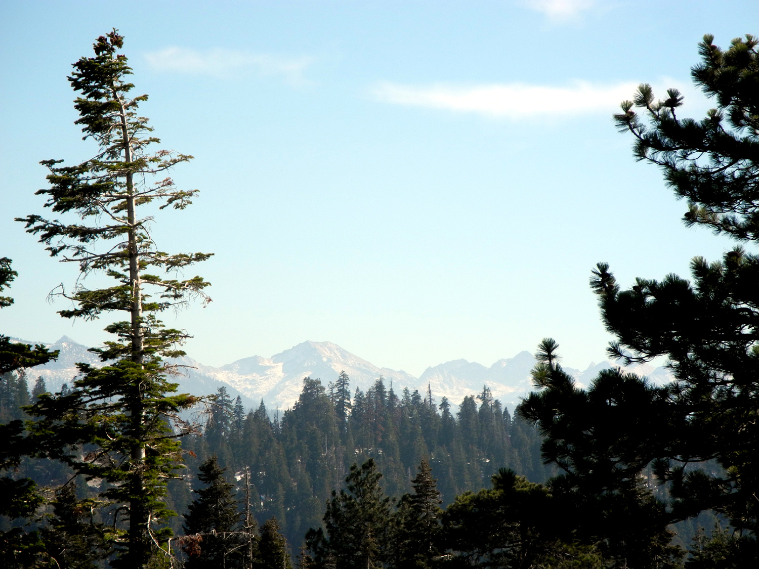
Peaks in Sequoia National Park |
 |
 |
 |
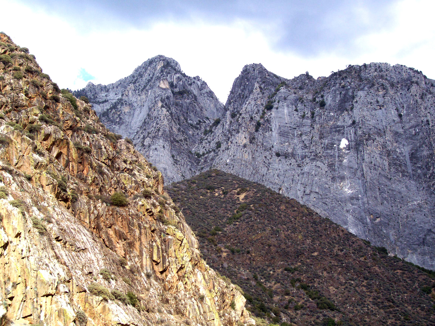
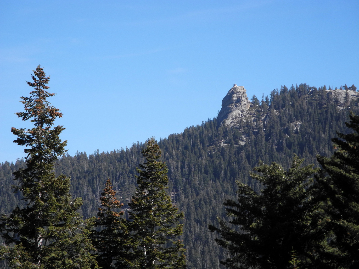
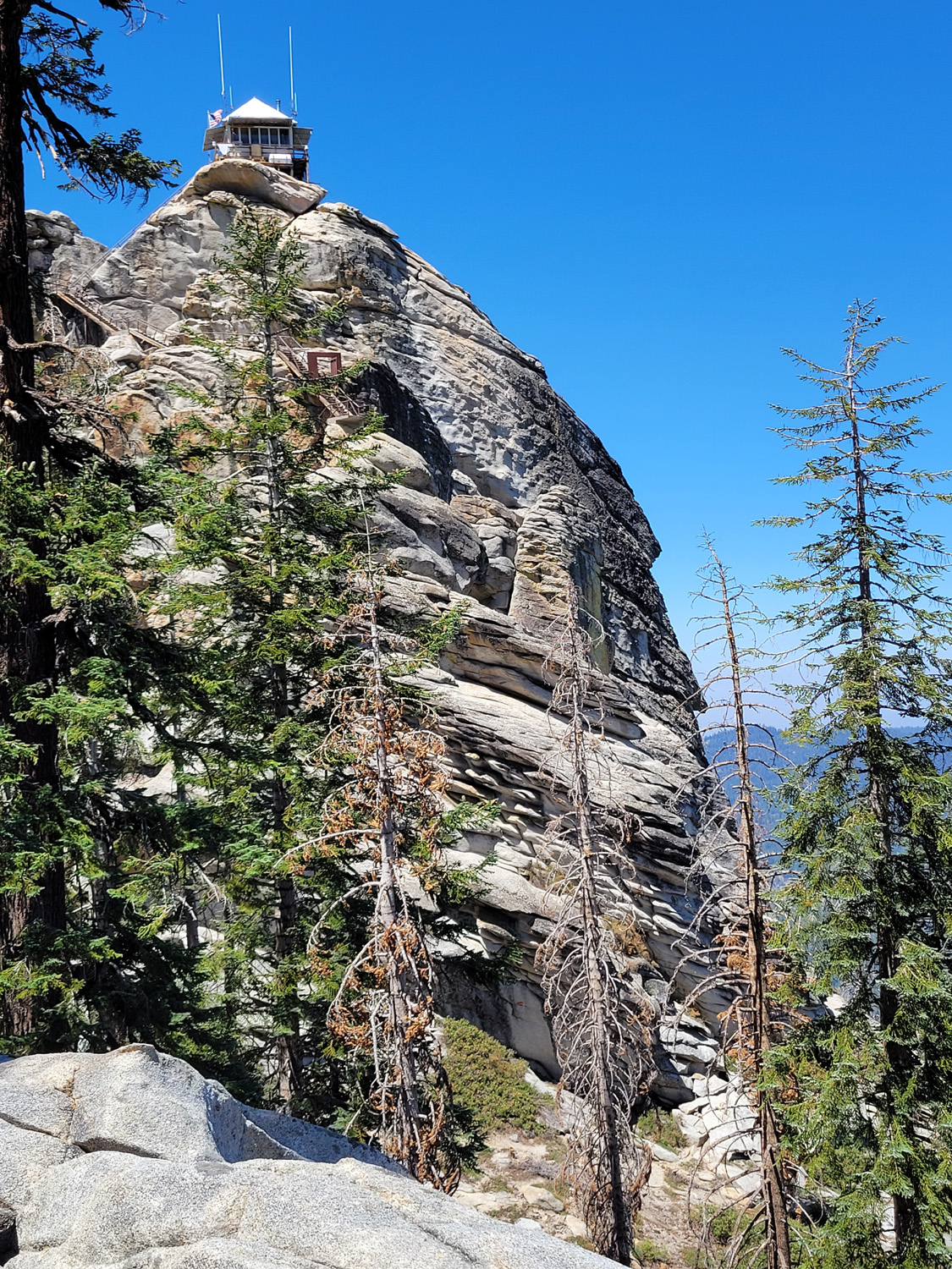
| Buck Rock, Sequoia National Forest, with fire lookout on top | Looking southeast from the top of Buena Vista Peak | Kings Canyon and the rugged peaks above it |
 |
 |
 |
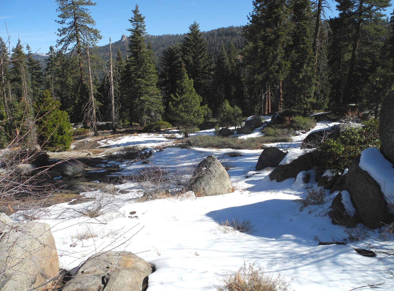
| Snow along the Buena Vista Trail, November 2013 |
Kings Canyon and peaks with a little more snow |
Big Baldy from the top of Buena Vista Peak |
 |
 |
 |
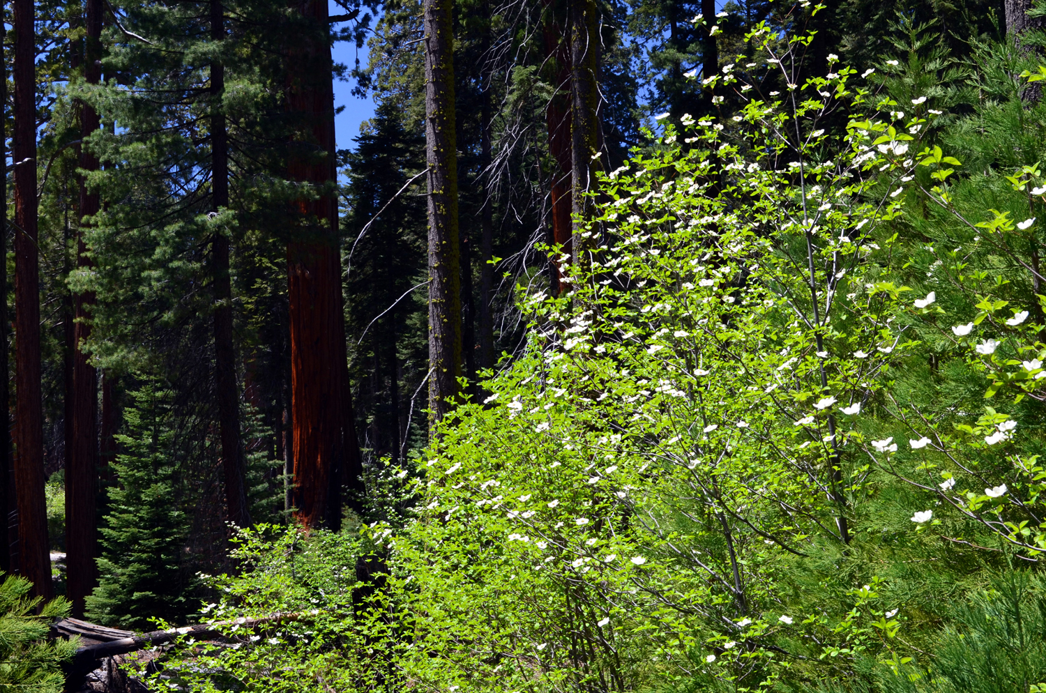
|
Crescent
Meadow, |
Dogwoods and sequoia in Giant Forest |
The Great Western Divide from the start of the Moro Rock Trail |
 |
||
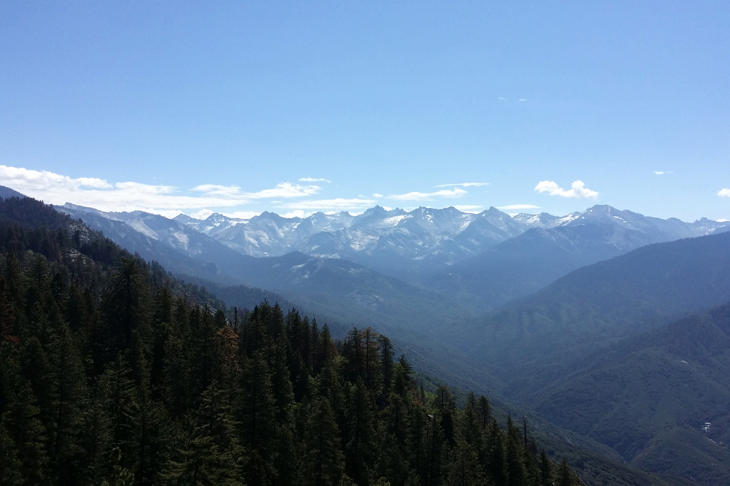
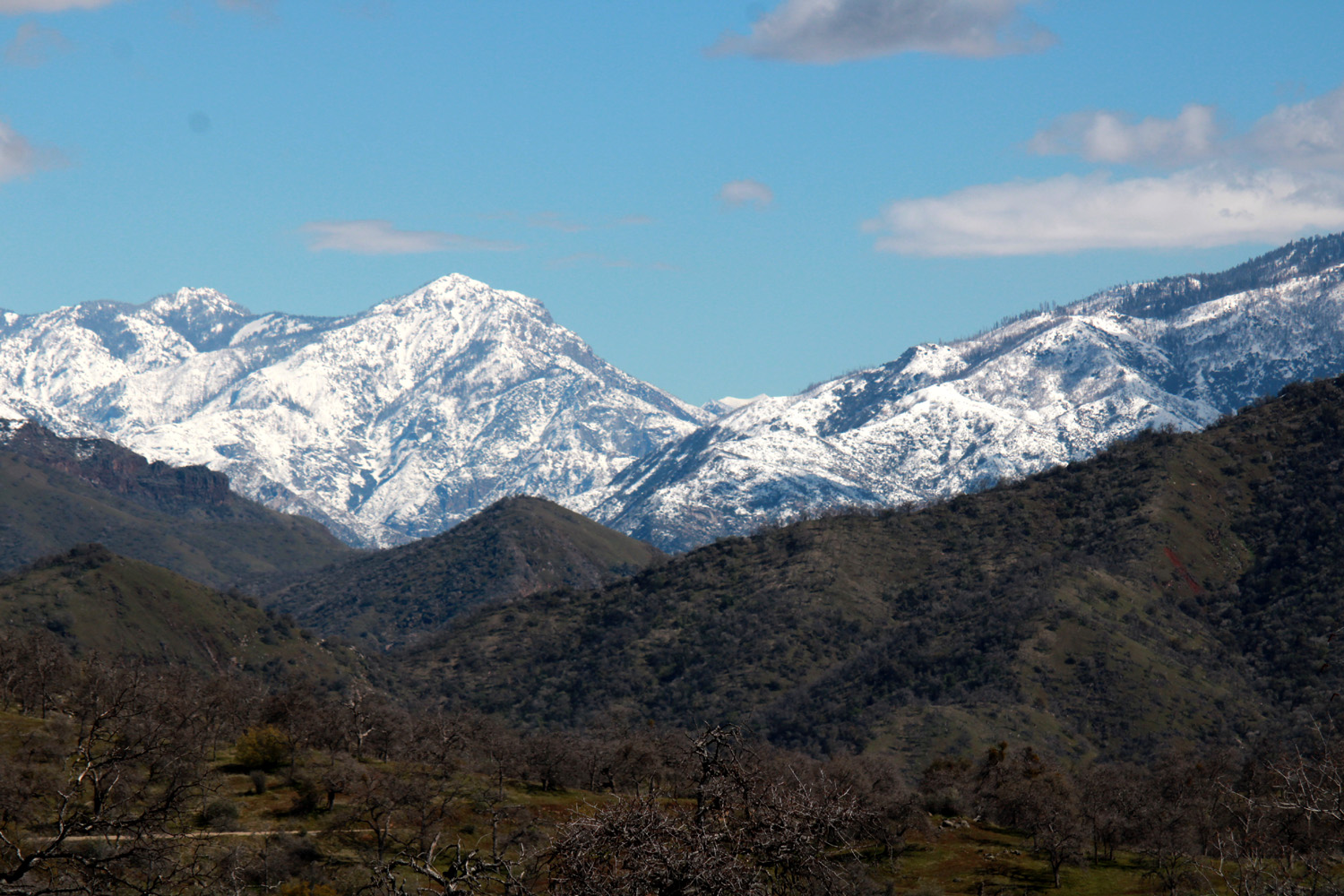
| Great Western Divide in Sequoia National Park from Shaw and Leonard east of Clovis | ||
 |
 |
 |
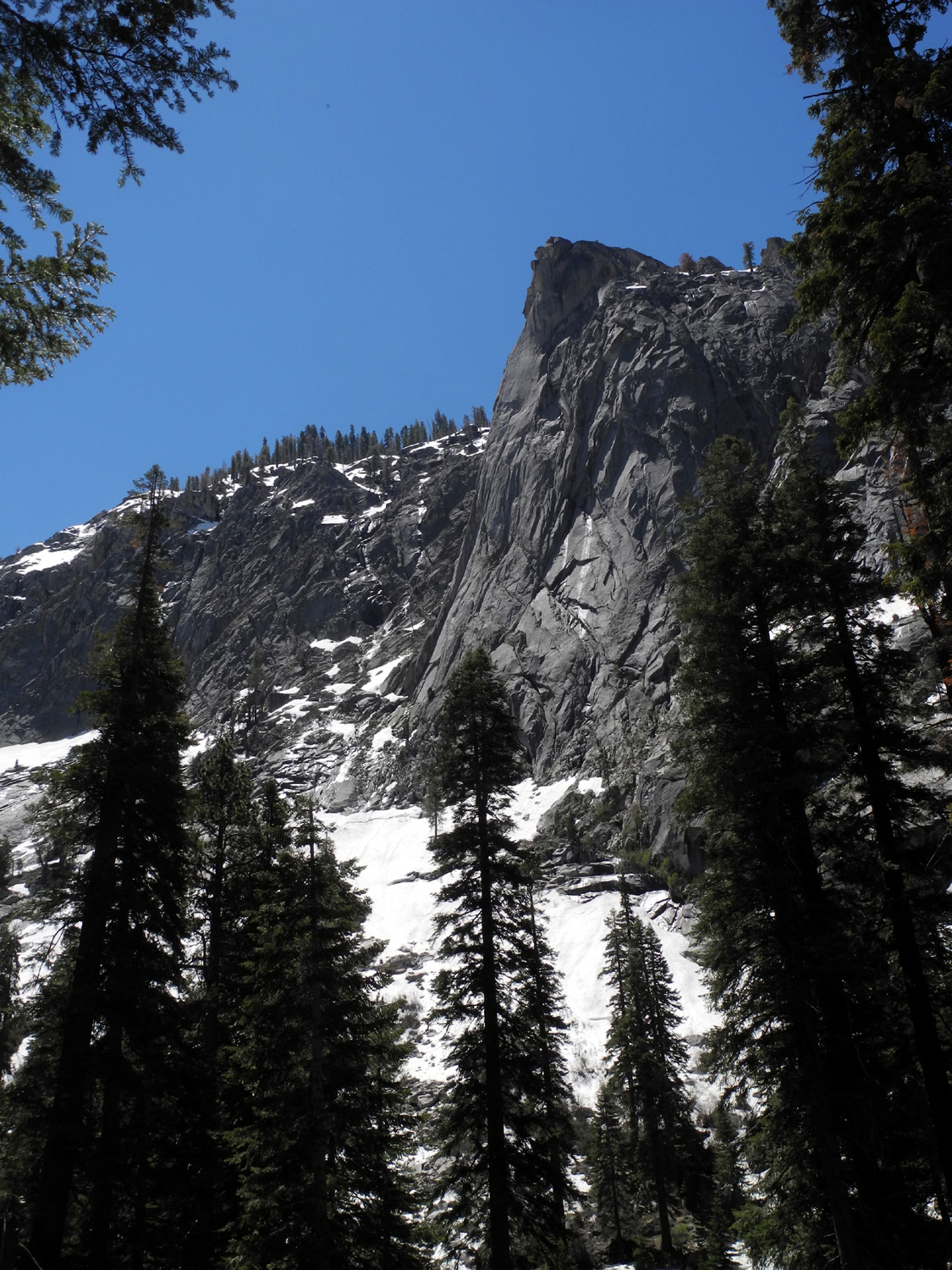
| Great Western Divide | Cliffs on the north side of Tokopah Valley | The Watchtower on the south side of Tokopah Valley |
 |
||
| View of the Watchtower from Tokopah Falls | ||
 |
||
| More cliffs on the north side of Tokopah Valley | ||
 |
 |
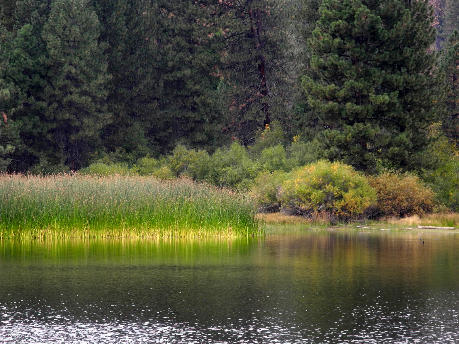 |
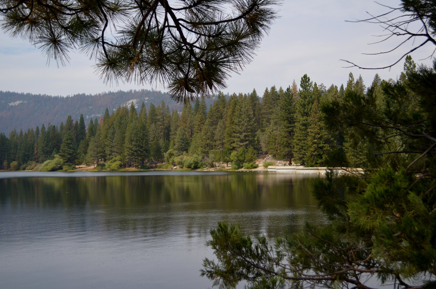
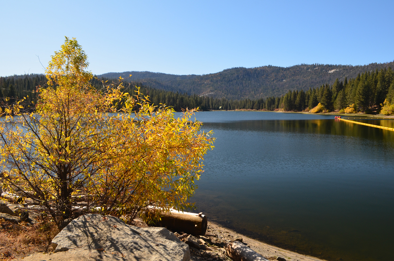
| Hume Lake, just outside Kings Canyon National Park | The grassy shoreline, with brown evergreens | A quiet cove filled with cattails |
 |
 |
 |
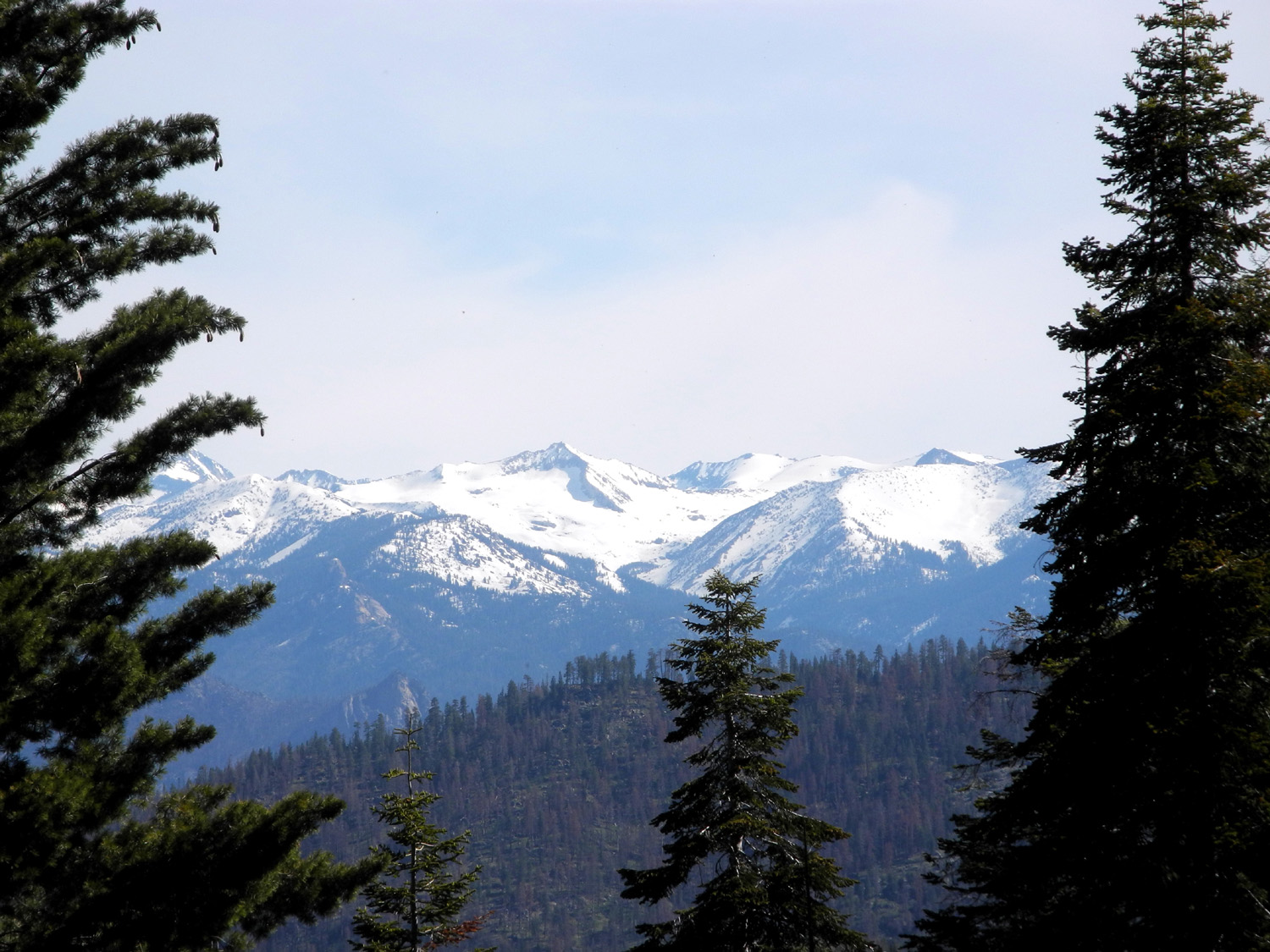
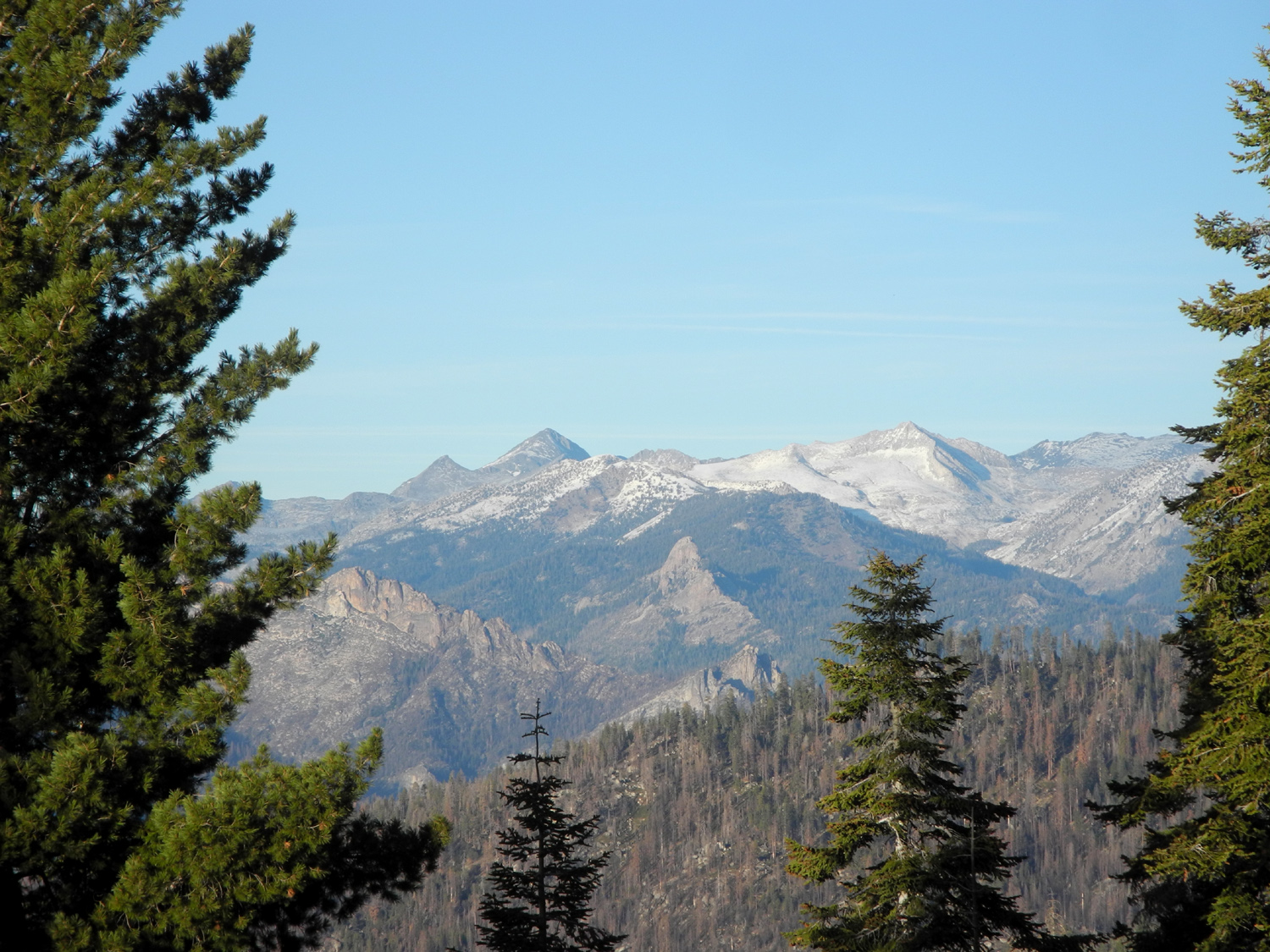
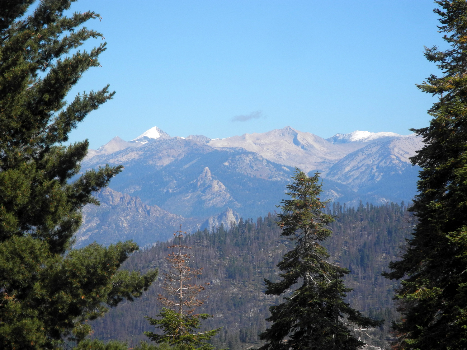
| High Sierra peaks from Kings Canyon Overlook | Looking down the Kaweah River from the Tokopah Falls Trailhead at Lodgepole | Snow on the rocky canyon wall near Tokopah Falls |
 |
 |
 |
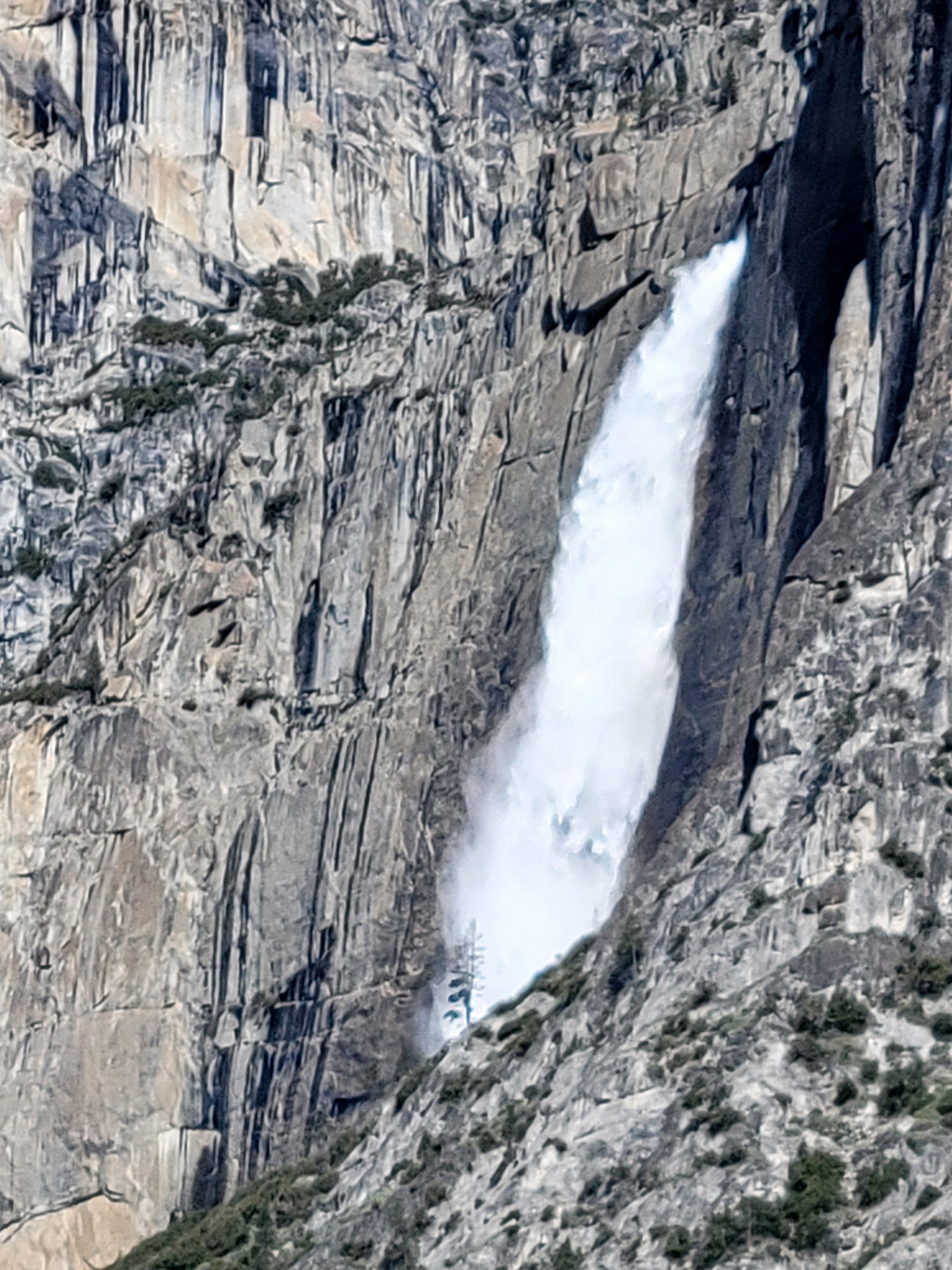
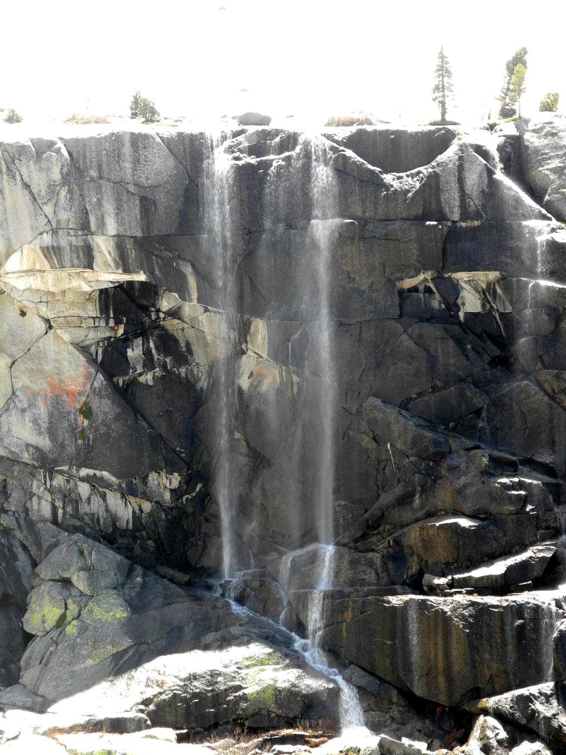
| Tokopah Falls and the snow beside it | A little "side falls' next to Tokopah | The Watchman above Tokopah Valley |
 |
 |
 |
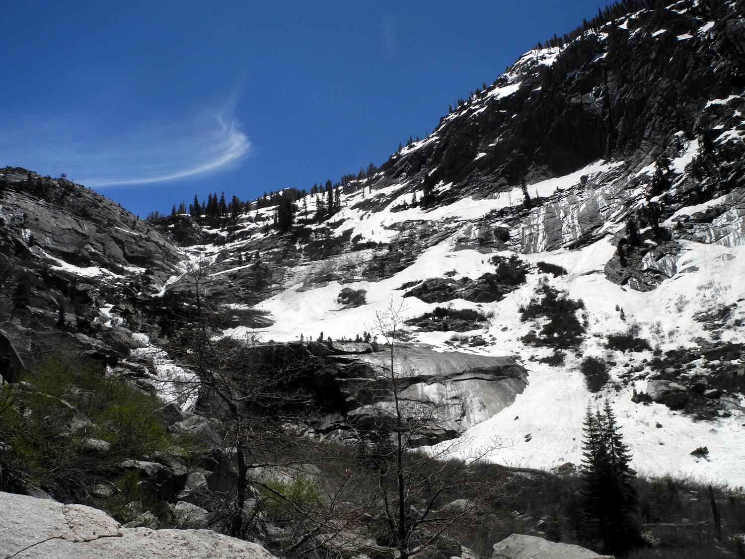
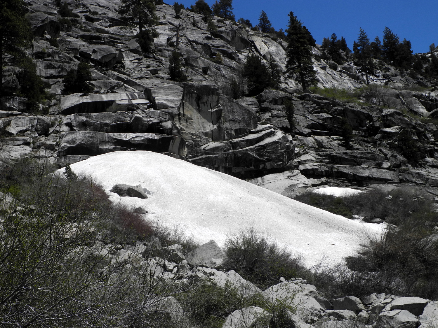
| Big snow cone along the Kaweah Marble Fork | East section of Patterson Bluff above the North Fork of the Kings | Downstream from Black Rock Reservoir the North Fork is all white water |
 |
 |
 |
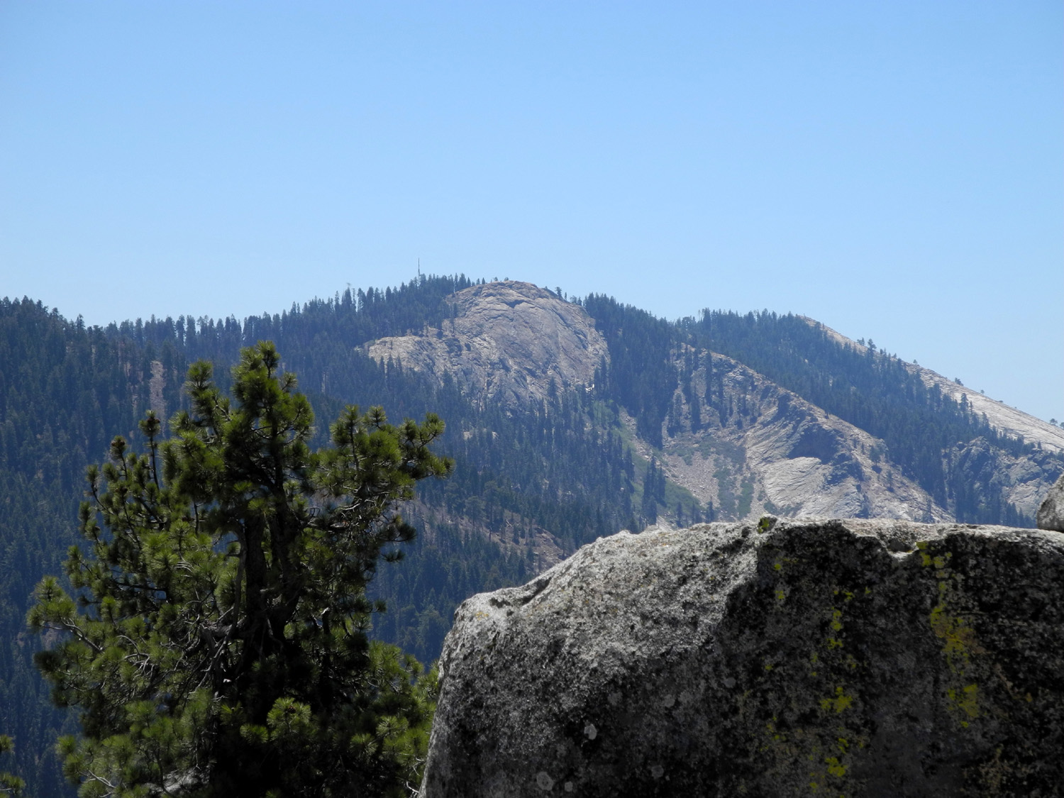
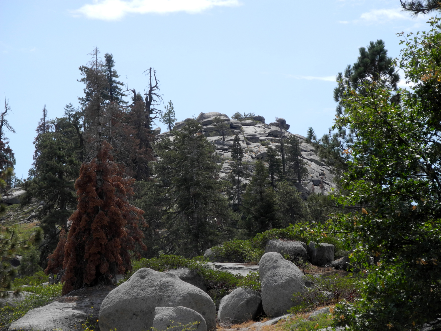
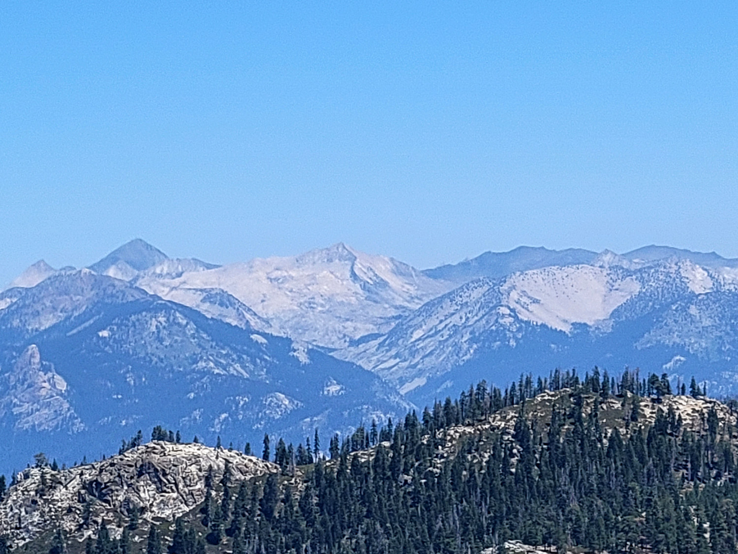
| Buena Vista Peak in Kings Canyon National Park |
View from the top of the peak (Wes Thiessen photo) |
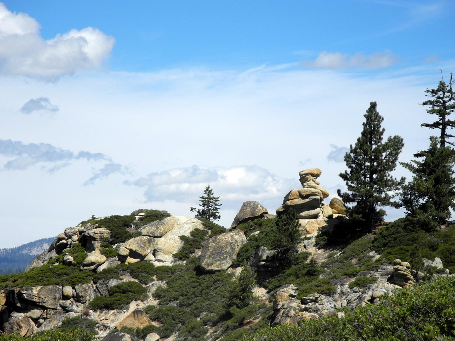
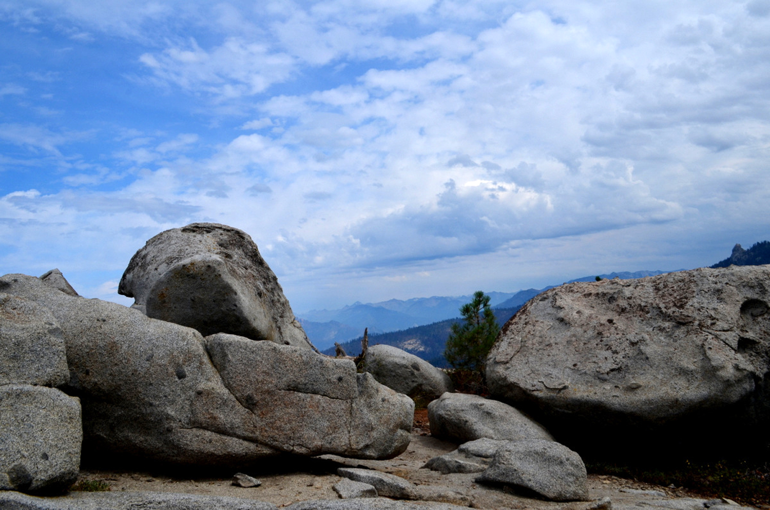
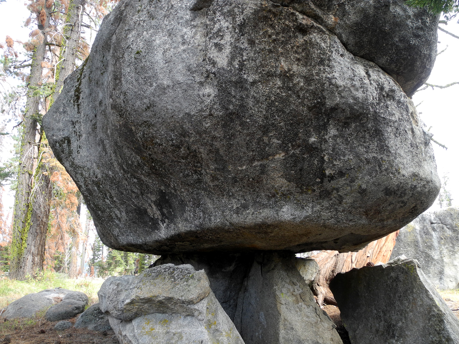
Rock on a pedestal, Buena Vista Trail |
 |
 |
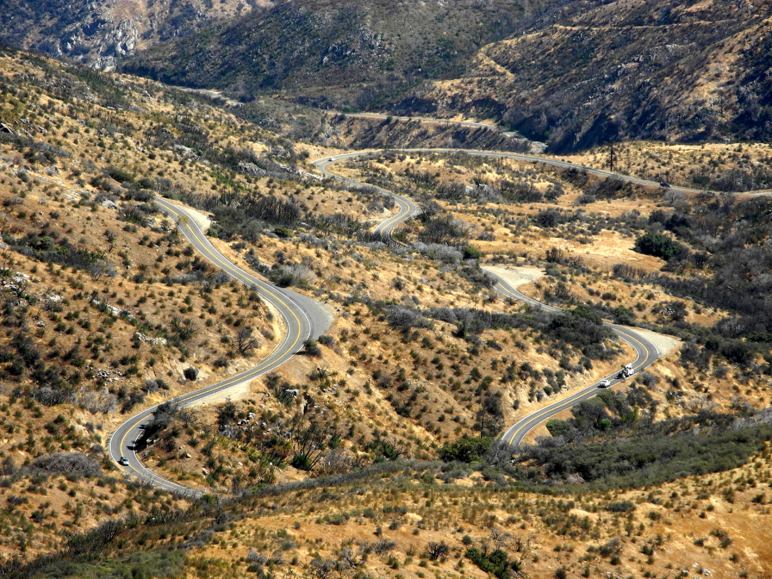 |
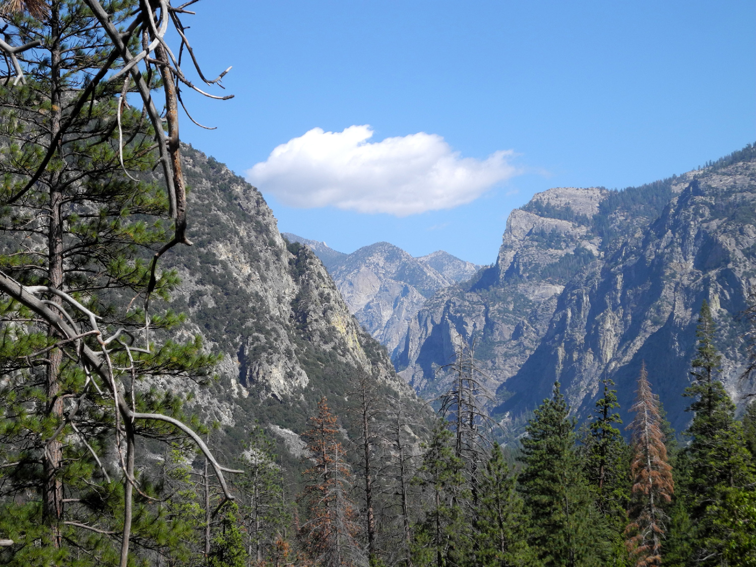
| Cliffs above Kings River near Convict Flat | View up Kings Canyon from Don Cecil Trail | A breathtaking ride - Highway 180 approaching Kings River |
 |
 |
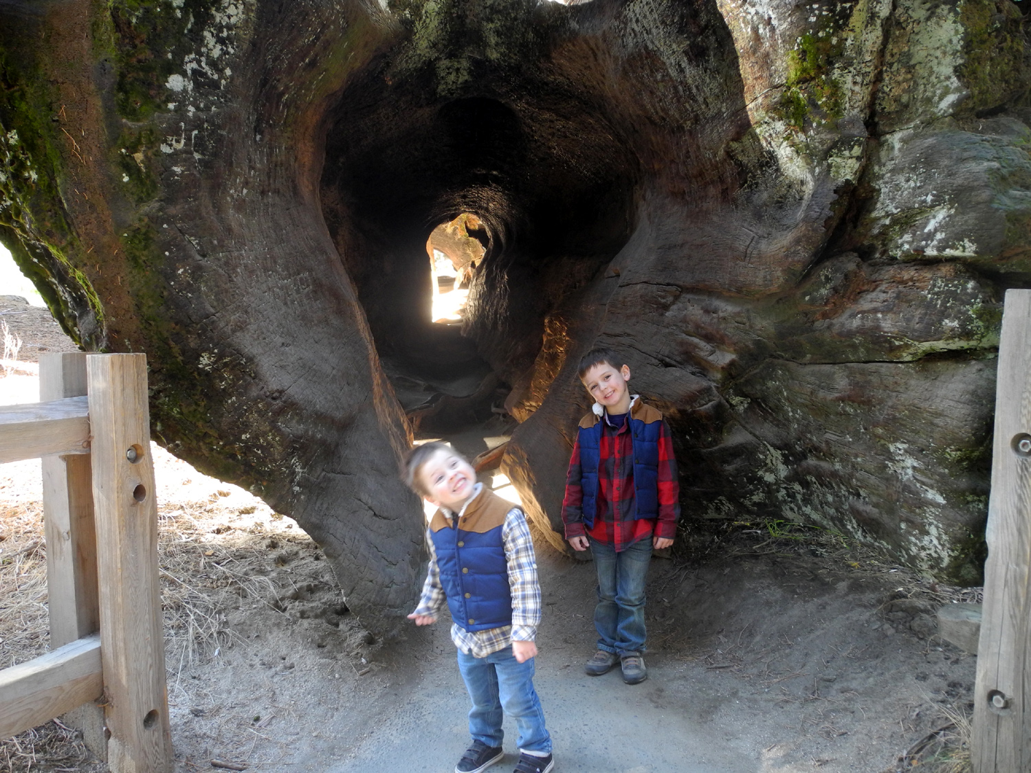 |
| Buck Rock, east of the General's Highway | Walk-through log in Grant Grove | Boys who just walked through the log |
 |
 |
 |
| Mt. Goddard is the high point in this view from the Kings Canyon Overlook | This is one of the tallest stumps in Big Stump Basin | Trees across from the museum in Giant Forest |
 |
 |
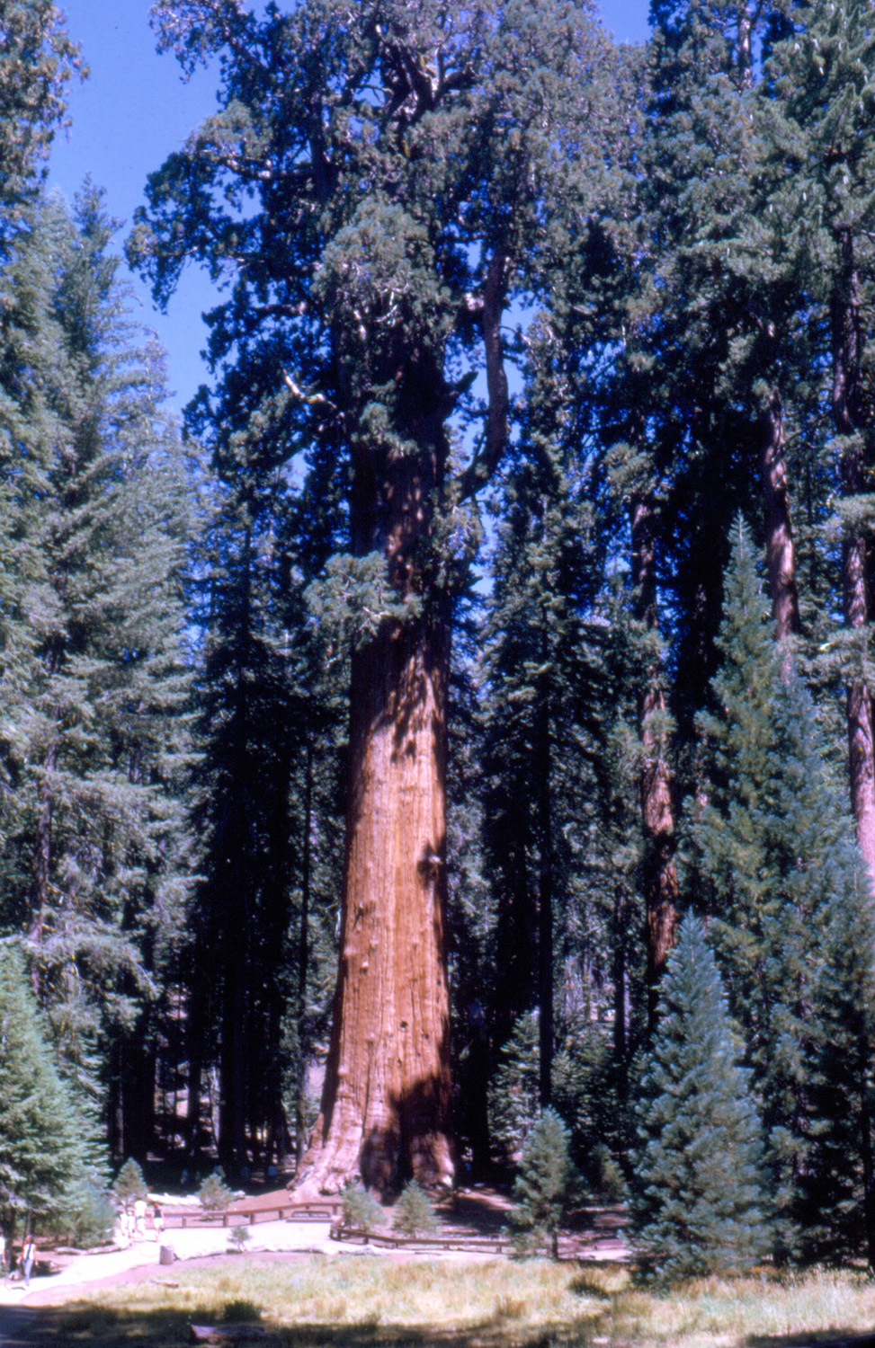 |
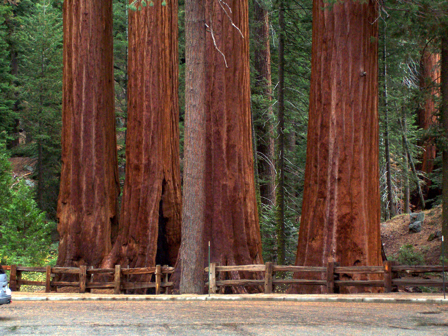
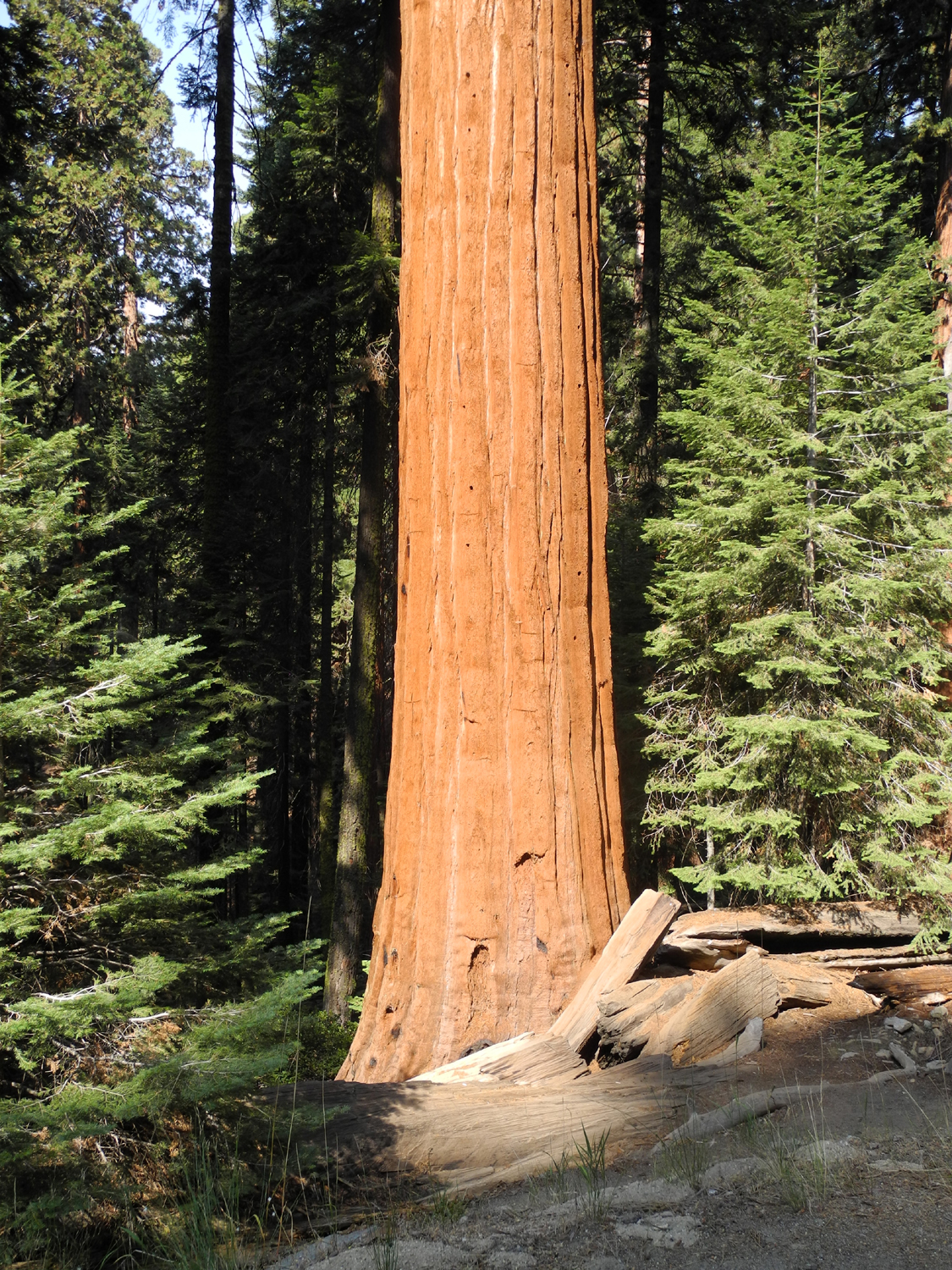
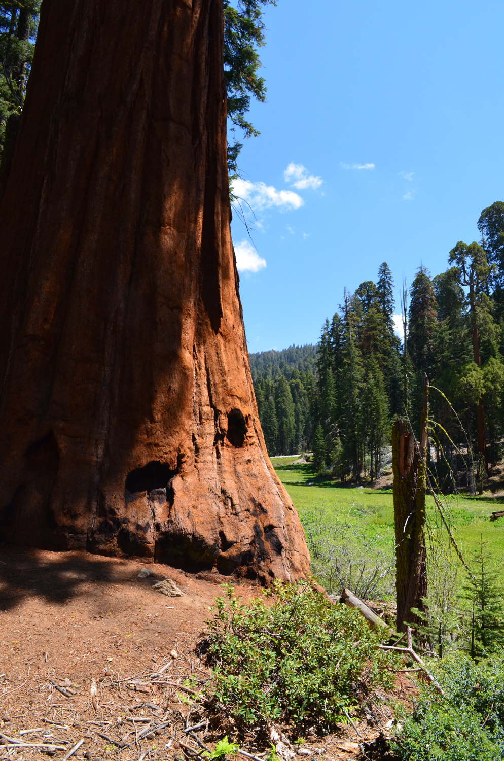
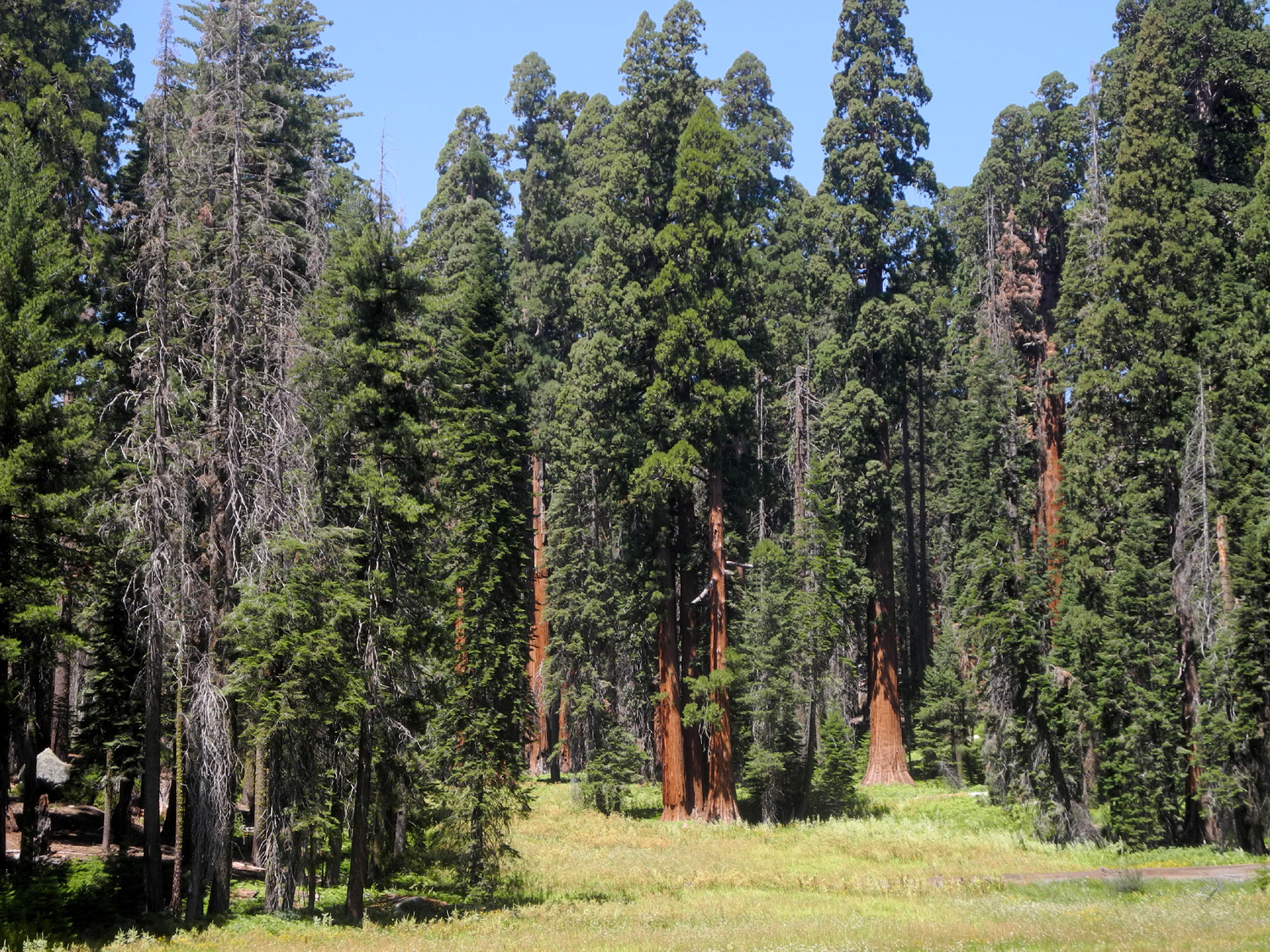
| Sequoia in Lost Grove, Sequoia National Park |
Giant sequoias stand guard by Crescent Meadow |
General Sherman Tree, Sequoia National Park |
 |
||
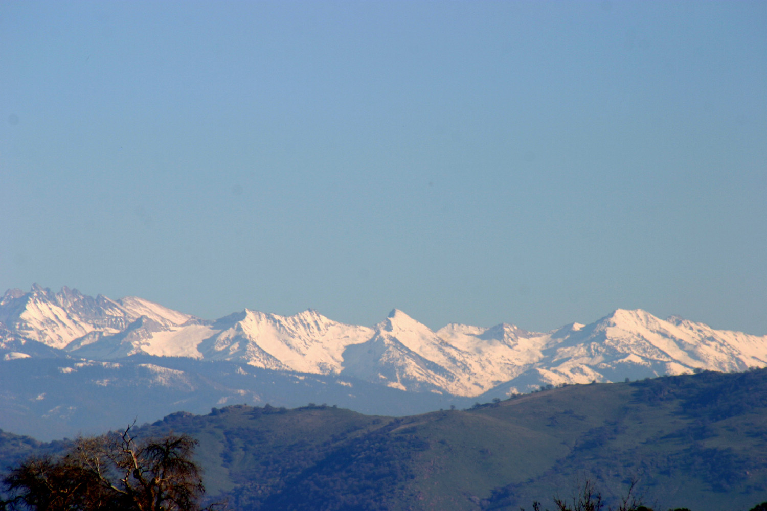
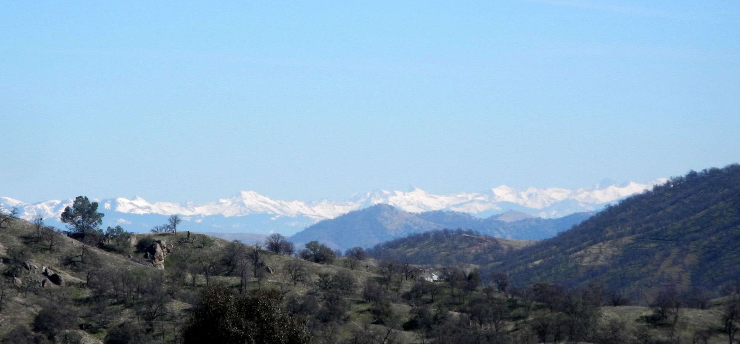
| The Great Western Divide from Millerton Road south of Table Mountain Casino | ||
 |
||
| Sierra panorama and Buck Rock from Buena Vista Peak | ||
 |
|
 |
| High
Sierra peaks from Kings Canyon Overlook |
The Watchtower and the Kaweah River along the Tokopah Falls Trail | Willow by Hume Lake |
 |
 |
 |
| Along
the Big Stump Loop in Kings Canyon National Park |
Boulder
at Granite Outcropping on Big Meadow Road |
Shell Mountain |
 |
 |
 |
| Meadow
at Jennie Lake Trailhead, Big Meadow Road |
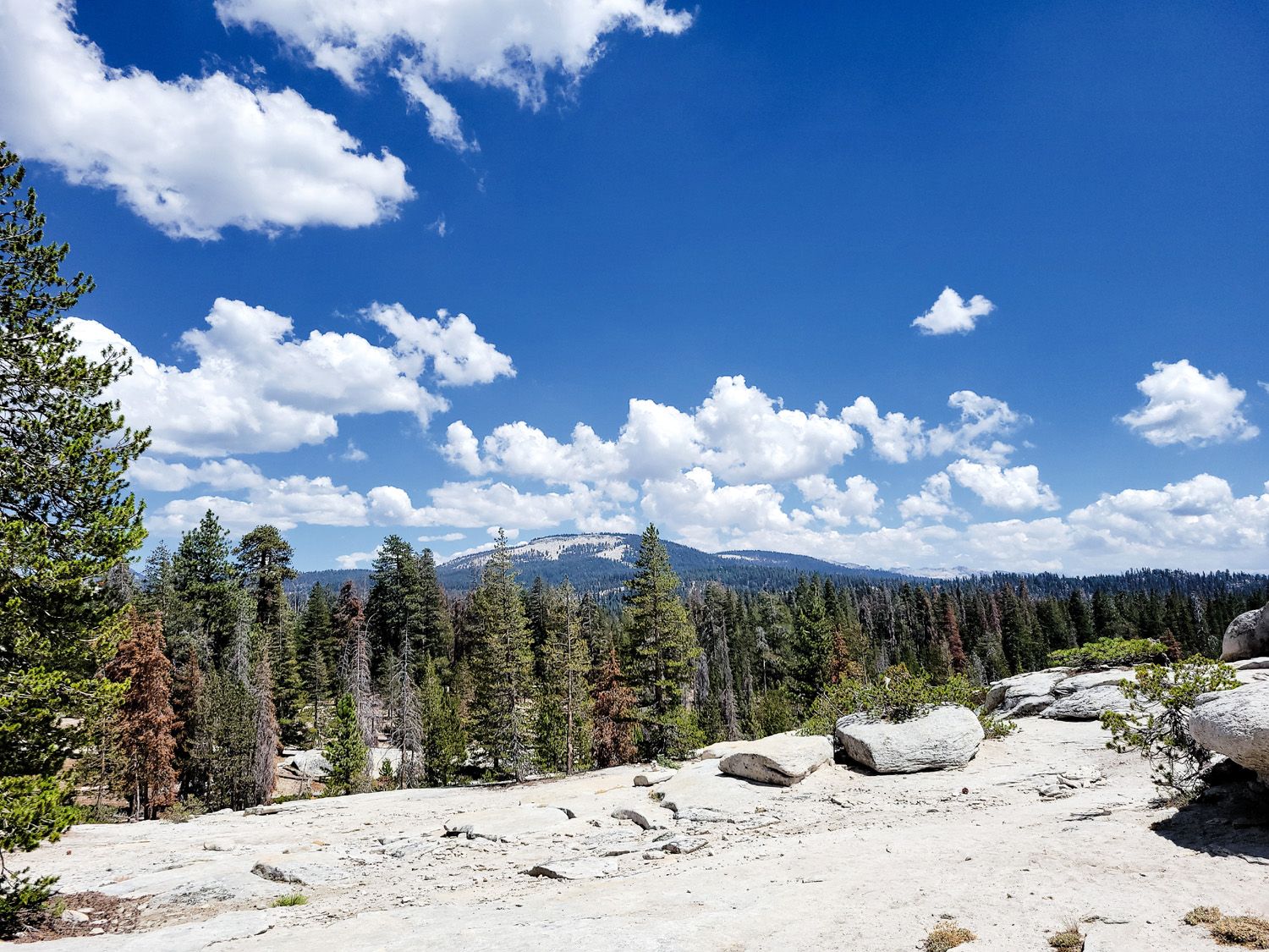
Buck
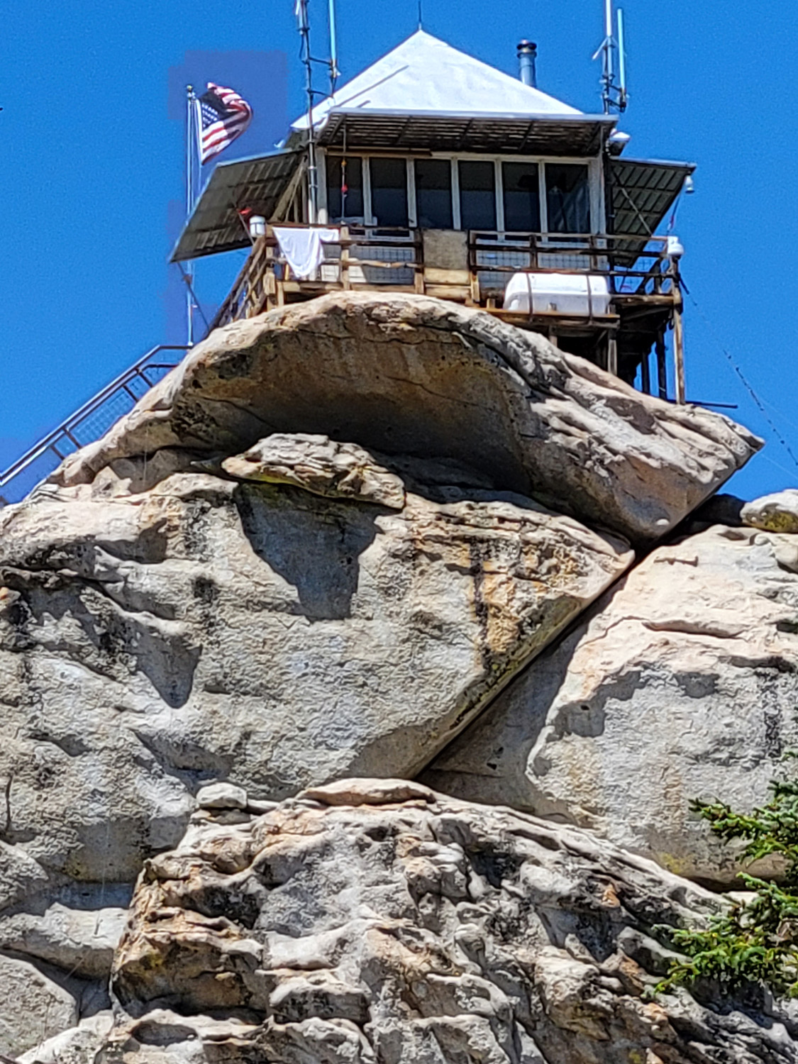
Rock Fire Lookout, Sequoia National Forest |
A closer look |
 |
 |
 |
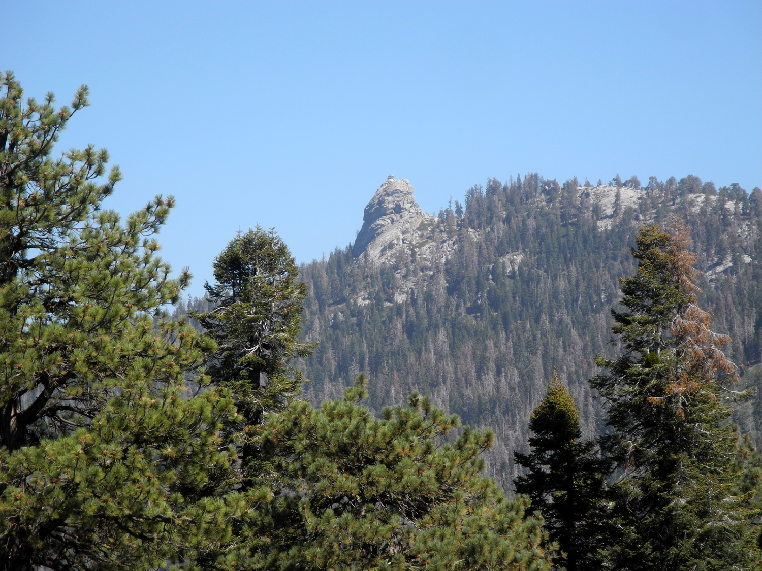
| The Great Western Divide | North
Dome, the "El Capitan" of Kings Canyon |
Zumwalt Meadow |
 |
||
| High Sierra panorama from Panoramic Point above Grant Grove Village | ||
|
(Above photos left to right by Wes Thiessen, same, Susan Crandall) |
||
 |
|
|
|
Wren Peak on the Monarch Divide
between the Middle and South Forks of the Kings River |
Meadow beside Big Stump Basin Trail (Wes Thiessen photo) |
We named this the Tunnel Stump |
 |
|
 |
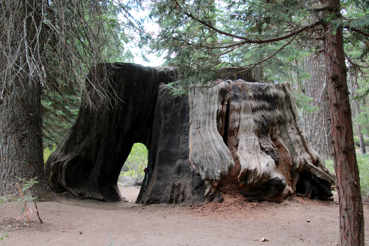
| Old Adam |
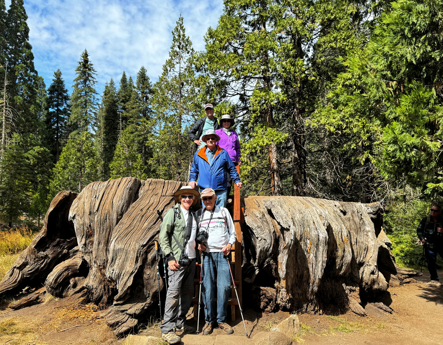
Ramblers Hiking Group at the Mark Twain Stump (Thiessen) |
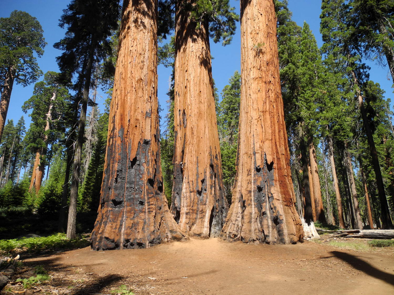
Looking
across Crescent Meadow at sequoias young and old |
 |
|
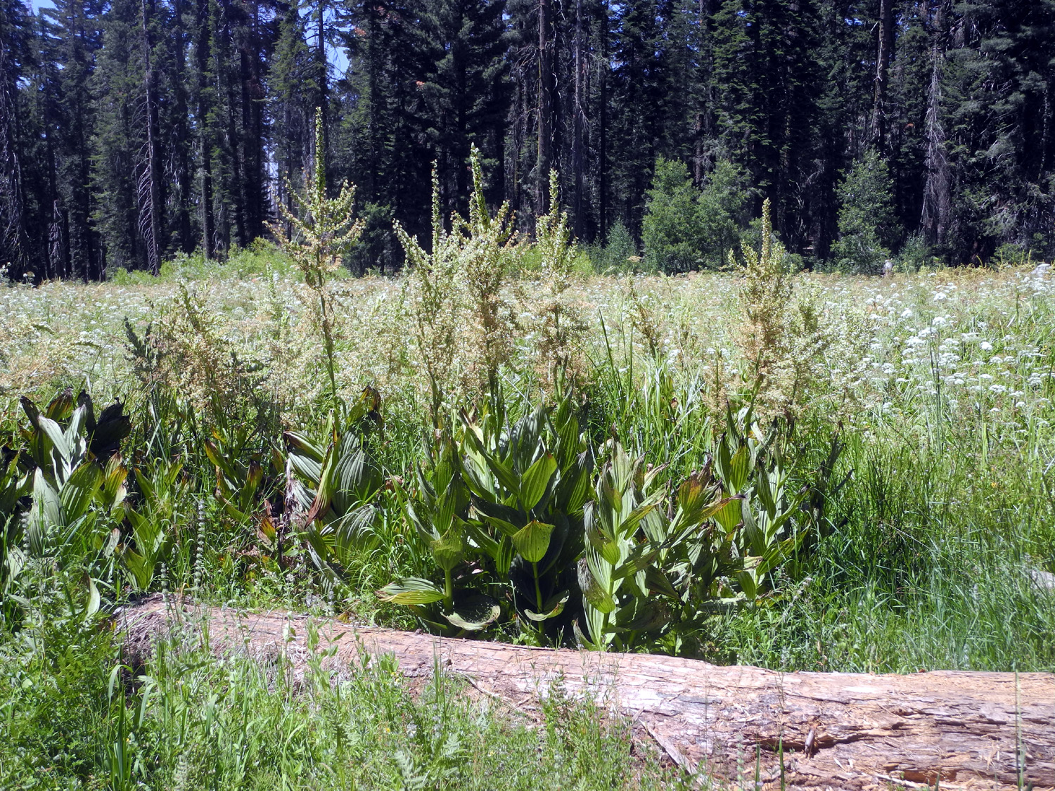
 |
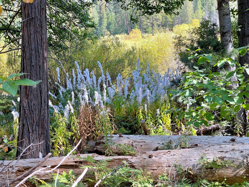
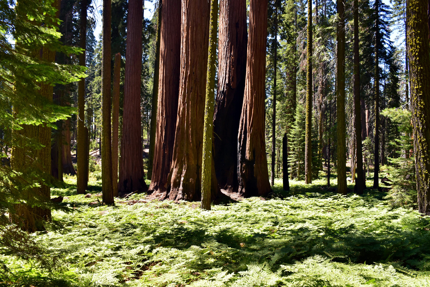
| Sequoias and ferns by Crescent Meadow | Corn lilies and white flowers in the meadow | There
are at least a half dozen sequoias in this picture |
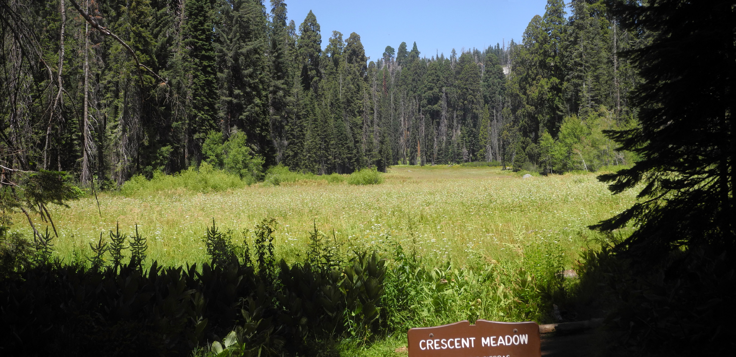 |
||
| Crescent Meadow panorama | ||
 |
|
 |
| A cluster of sequoias | Meadow and mountains at Indian Basin | The trail is lined with big ferns |