|
Dick's Central Sierra Nevada Pictures |
||
| Huntington
Lake - Kaiser
Pass - Florence Lake - Lake Edison Area
Dinkey Creek - Wishon - Courtright Area Fresno & Merced River Drainages |
||
| More
Sierra Nevada Area Photos:
Yosemite, Kings Canyon and Sequoia National Parks Kings & San Joaquin Rivers Eastern Sierra Death Valley |
||
| Links to More Photos | ||
| New photos here October 26, 2025 (captions in red) | ||
| Click the picture for a larger view - photos open in a new window | ||
|
Huntington Lake - Kaiser Pass - Florence - Edison Area |
||
|
 |
 |
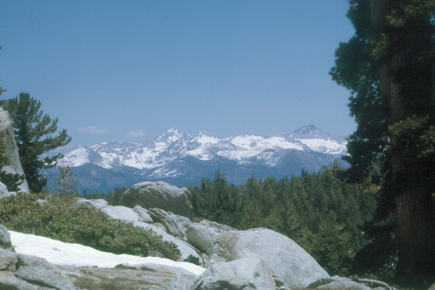
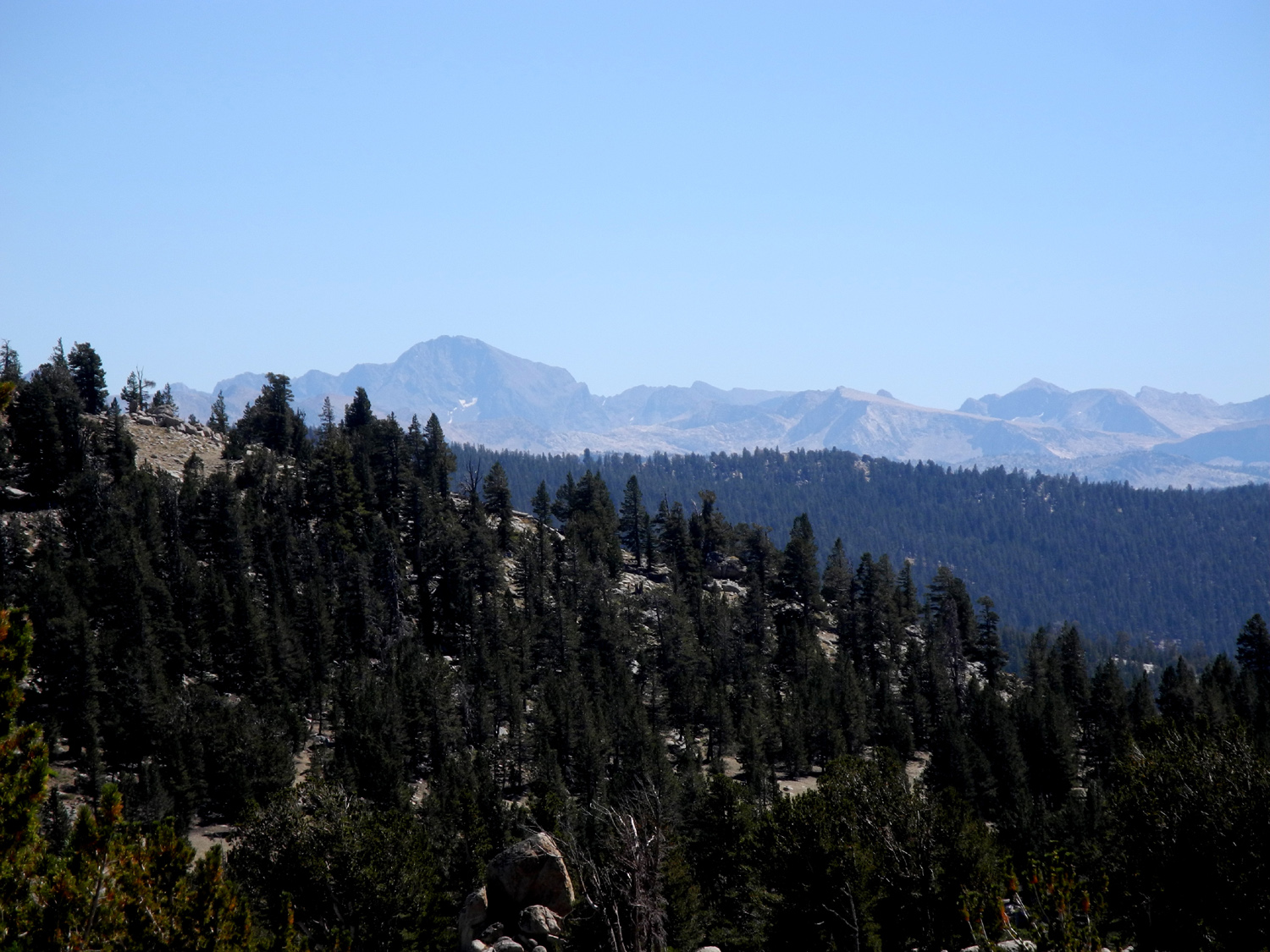
| Silver Divide from White Bark Vista Point | Ritter Range from Kaiser Pass area | Silver Divide from Kaiser Pass area |
 |
 |
 |
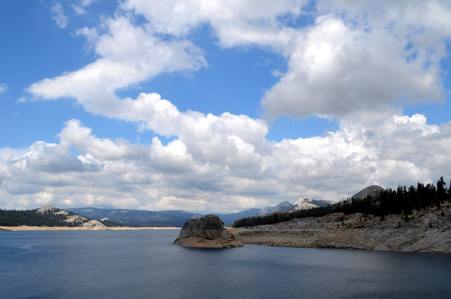
| Florence Lake |
Mountains near Edison and Florence Lakes |
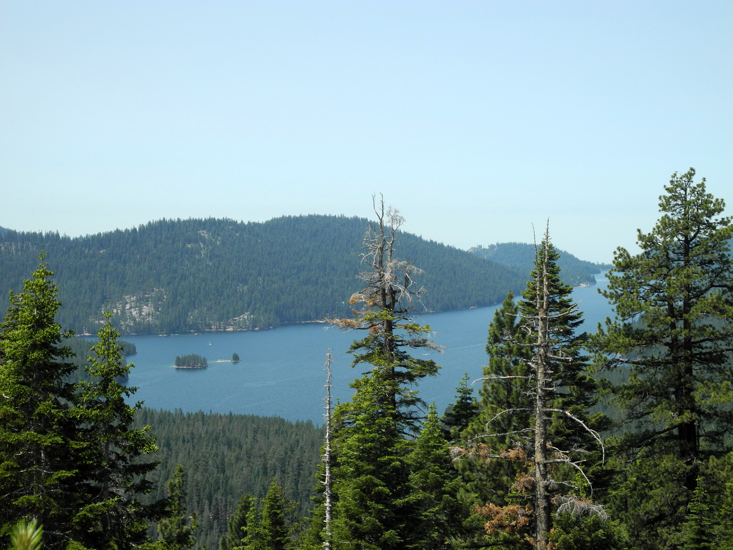
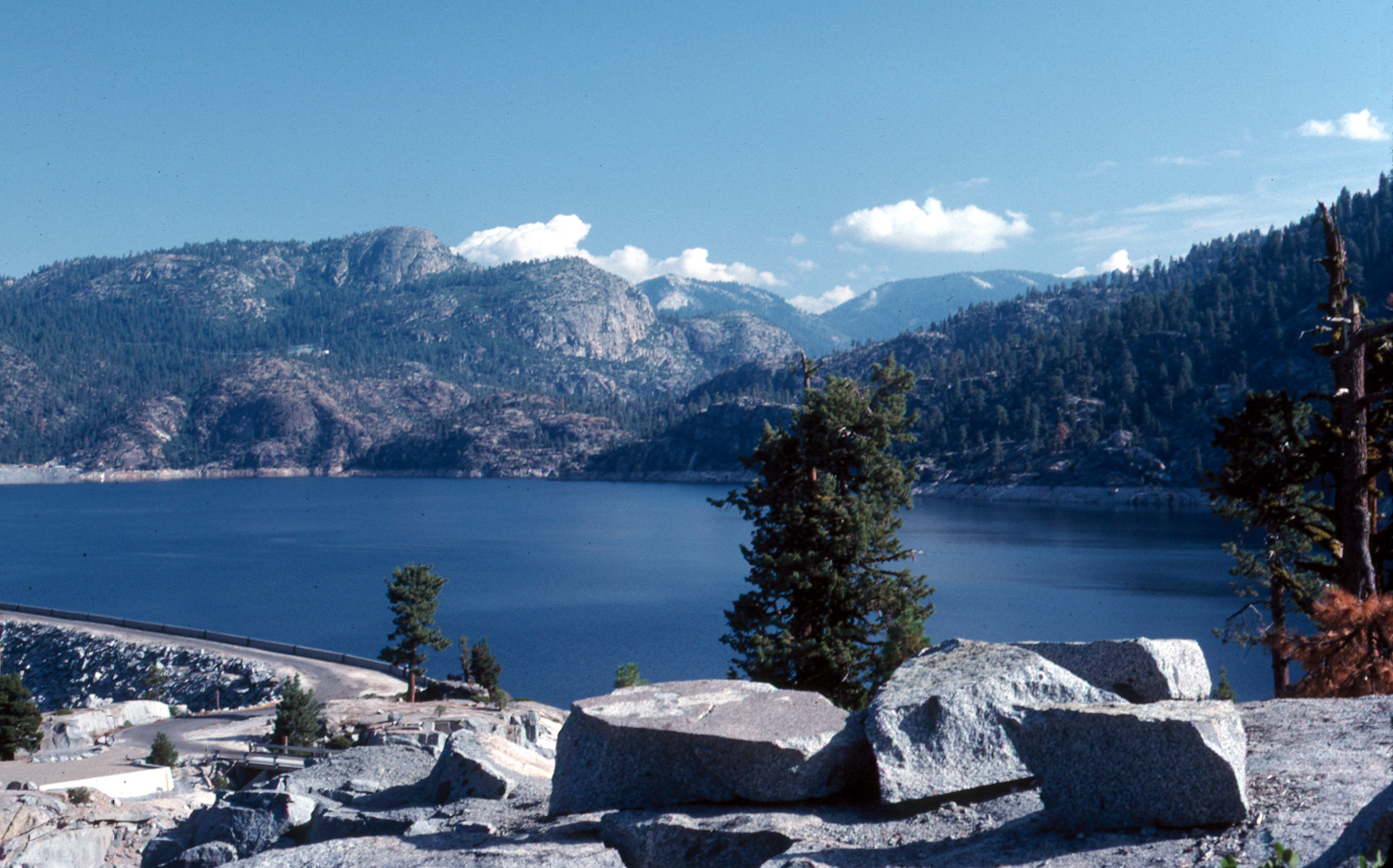
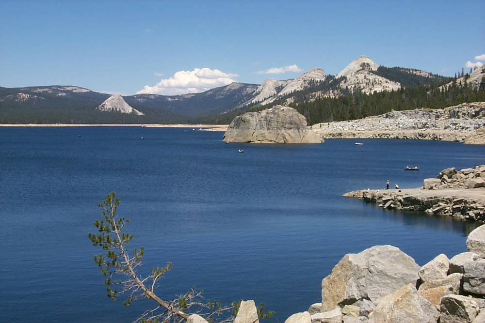
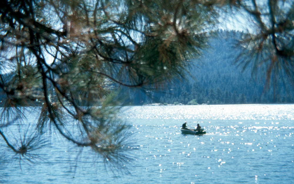
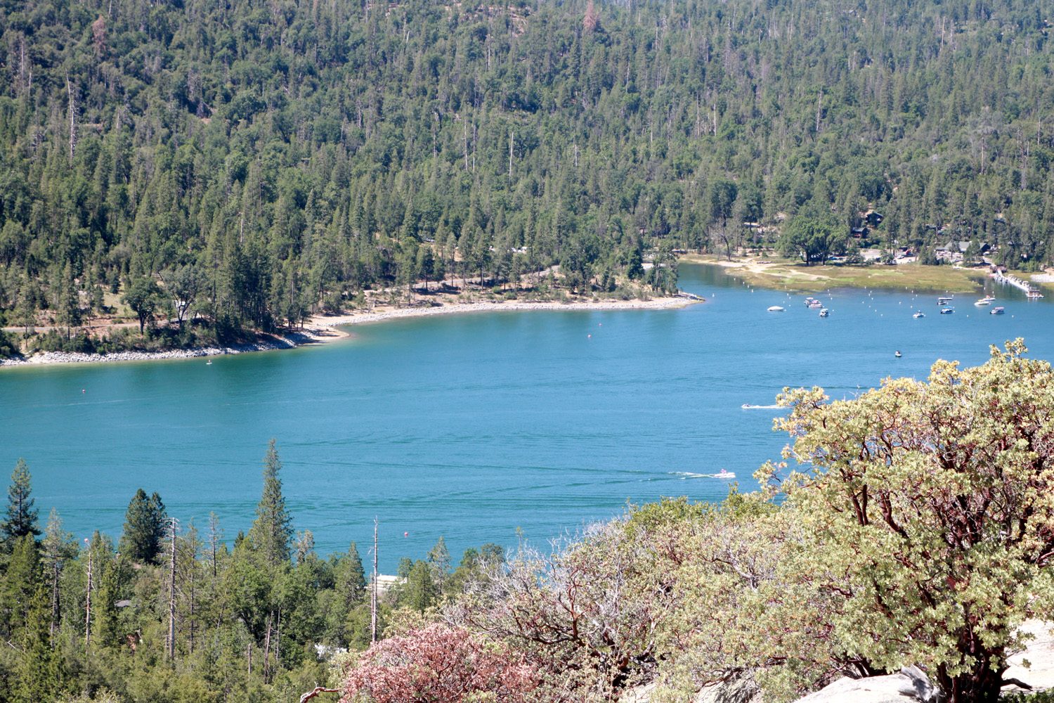
Huntington Lake |
 |
 |
 |
|
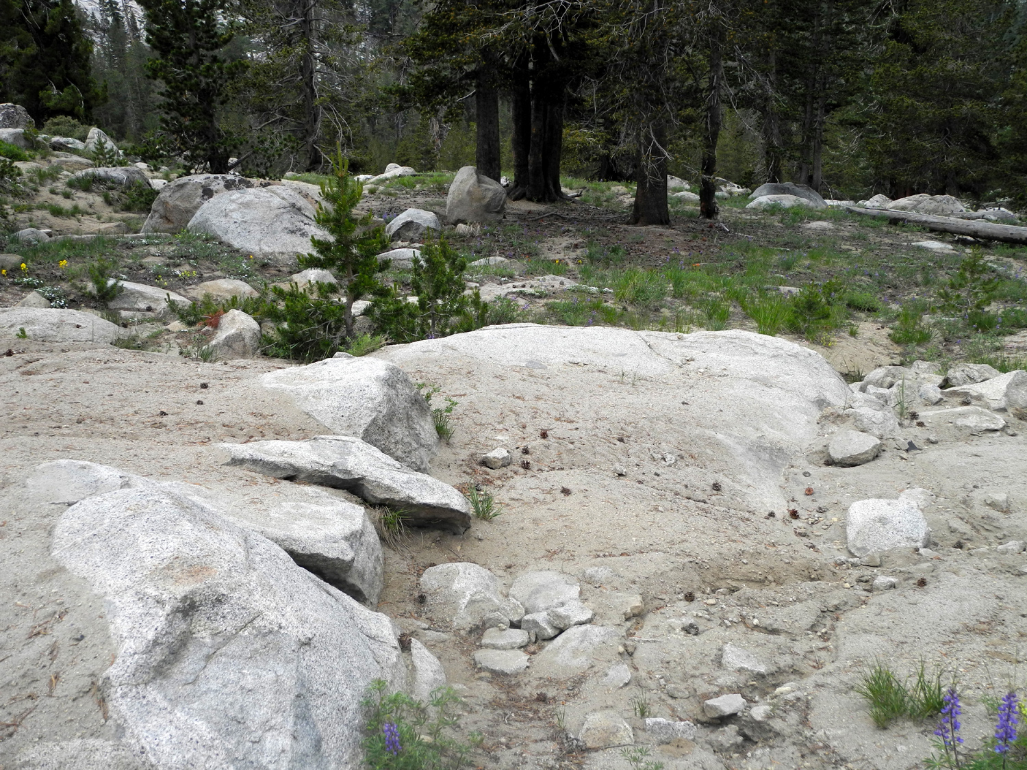
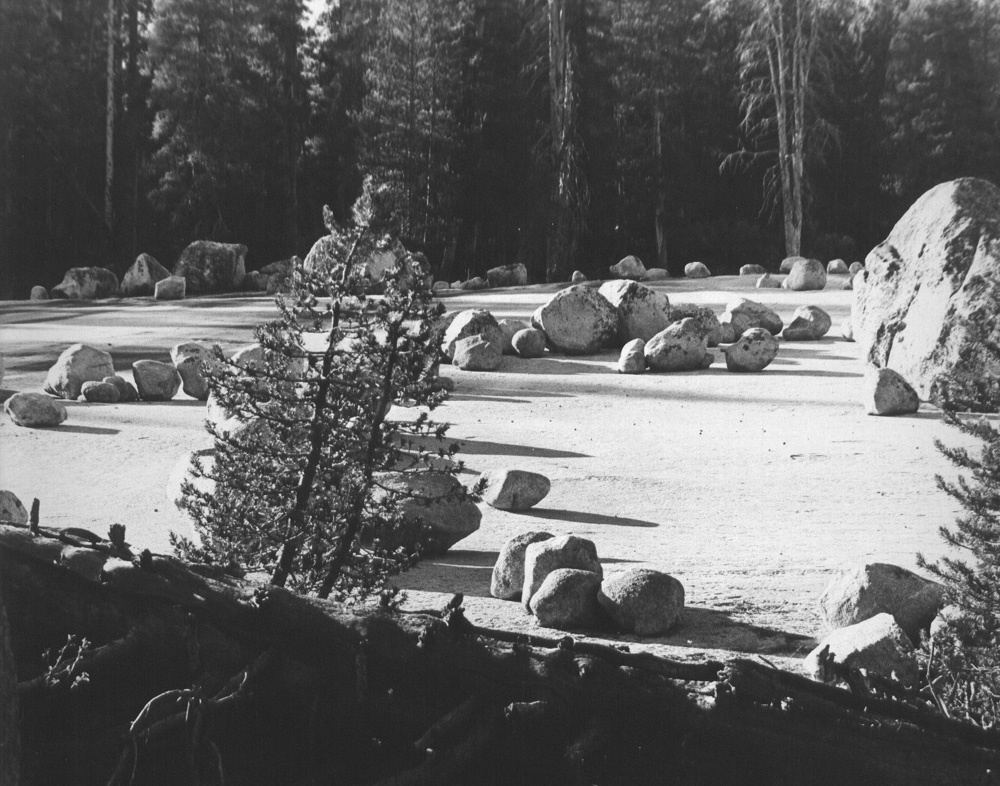
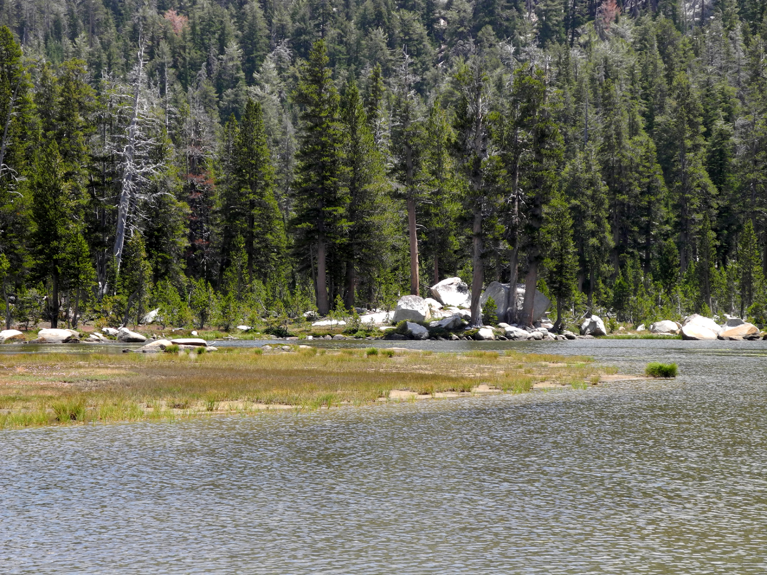
Boulders and meadow near Mono Hot Springs Resort |
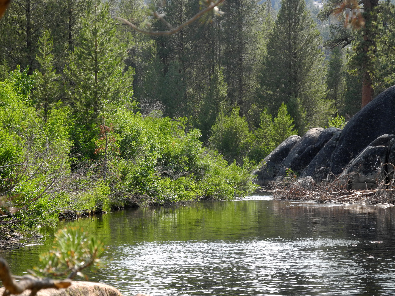
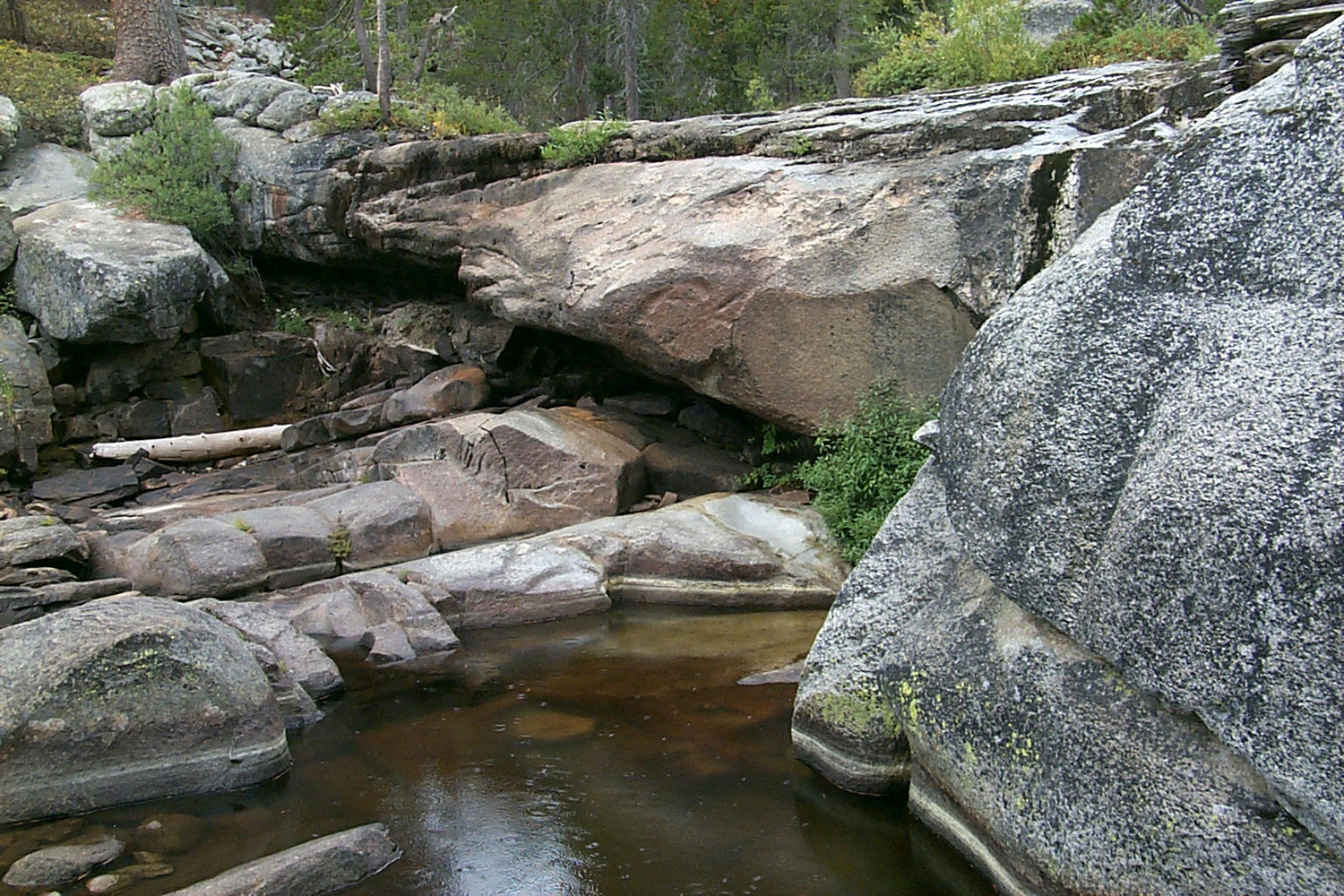
San Joaquin River at Mono Hot Springs Resort | A peaceful pool on the San Joaquin |
 |
||
| The Silver Divide | ||
 |
||
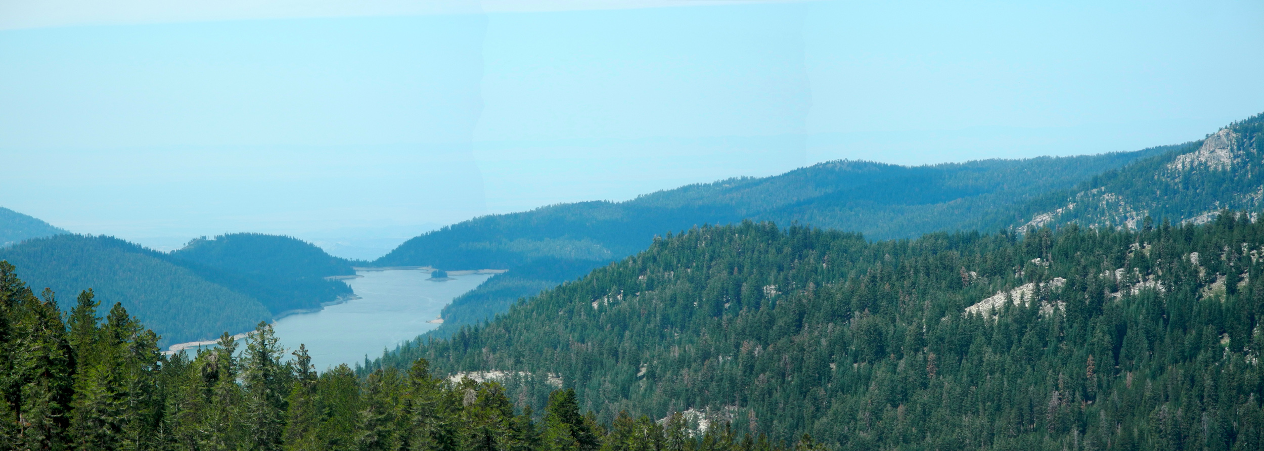
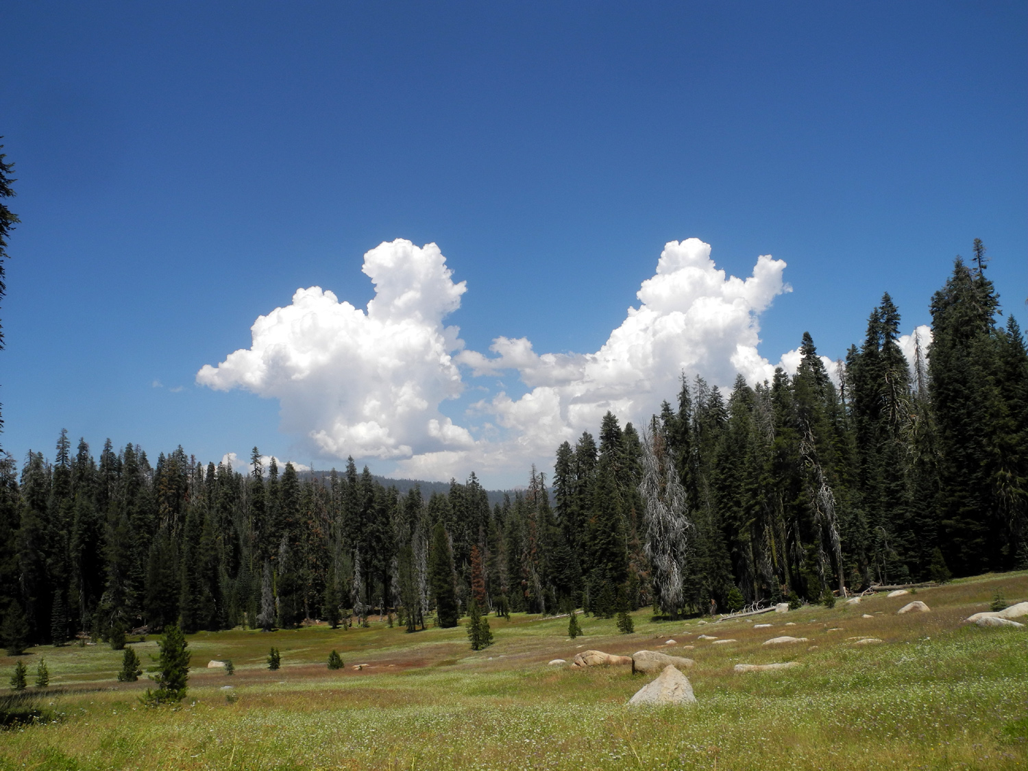
| Panoramic view of meadow east of Kaiser Pass | ||
 |
 |
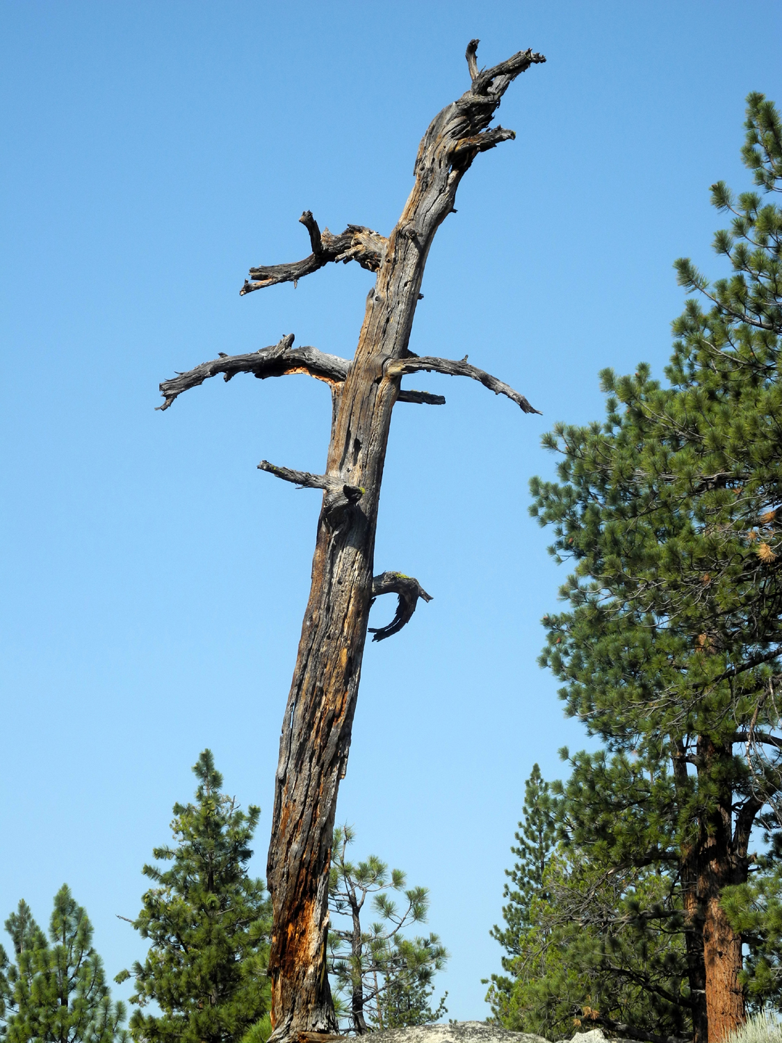 |
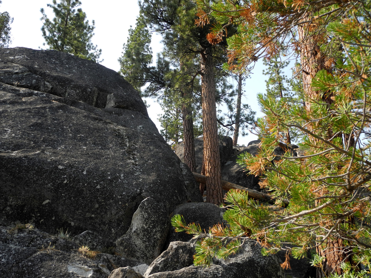
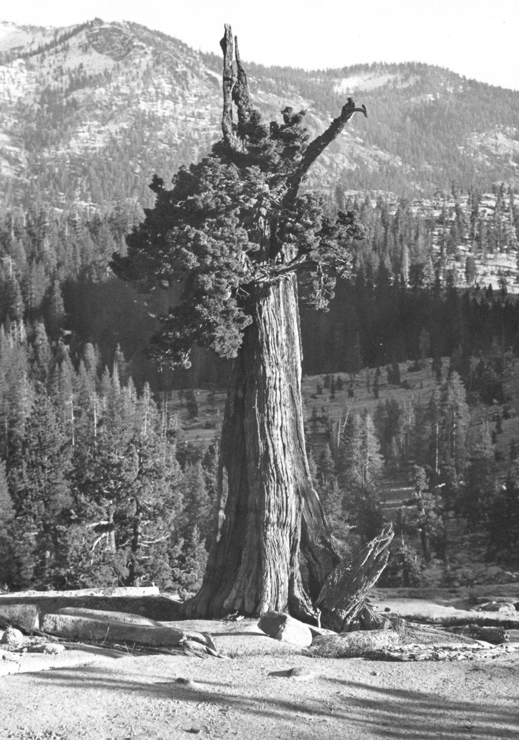
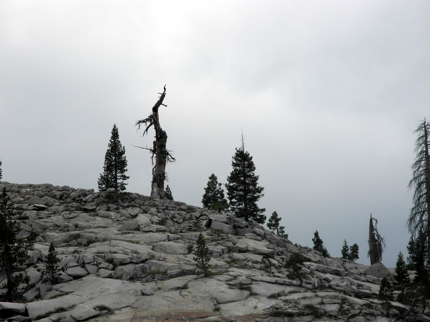
| Keeping cool | Boulders and Jeffrey Pines | A late, lamented Jeffrey Pine |
 |
 |
 |
|
The narrow road to Kaiser Pass |
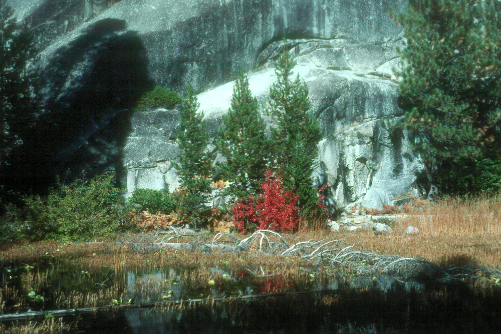
Nature's landscaping | The Dusy-Ershim 4-wheel drive road - the most difficult in the country |
 |
||
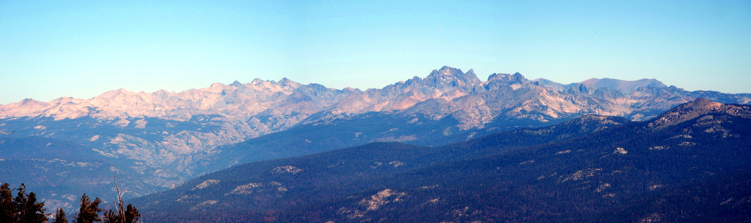
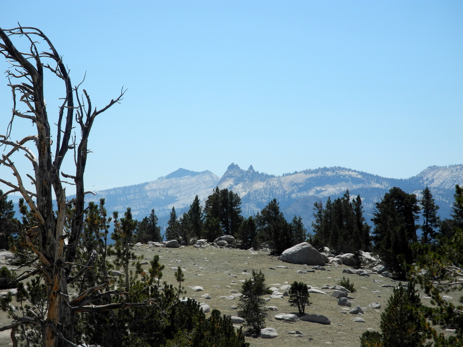
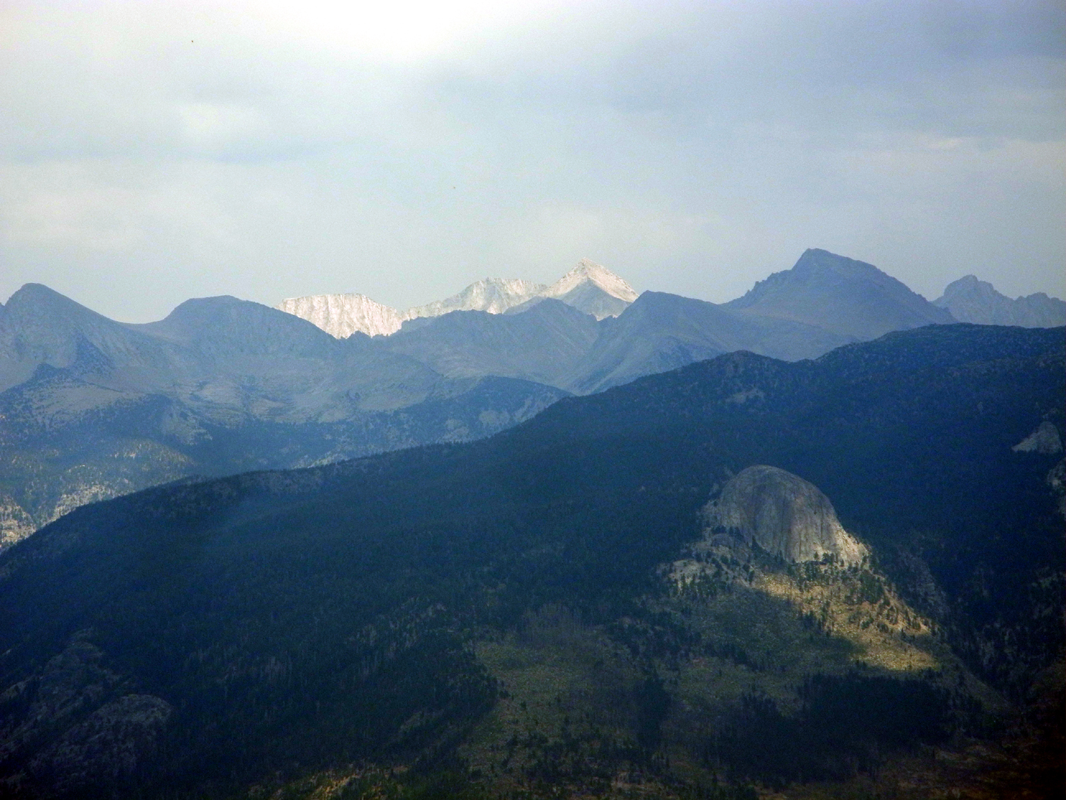
| A view of the Ritter Range, with the Minarets marked by the sharp peak just right of center | ||
 |
||
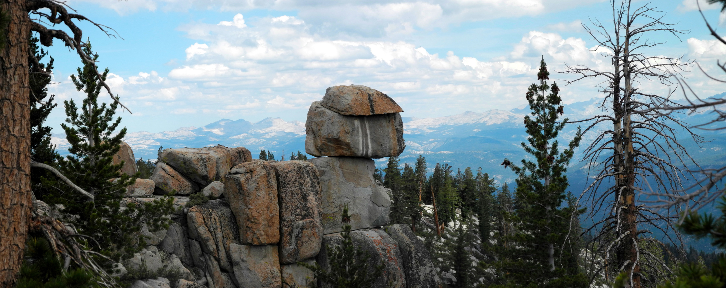
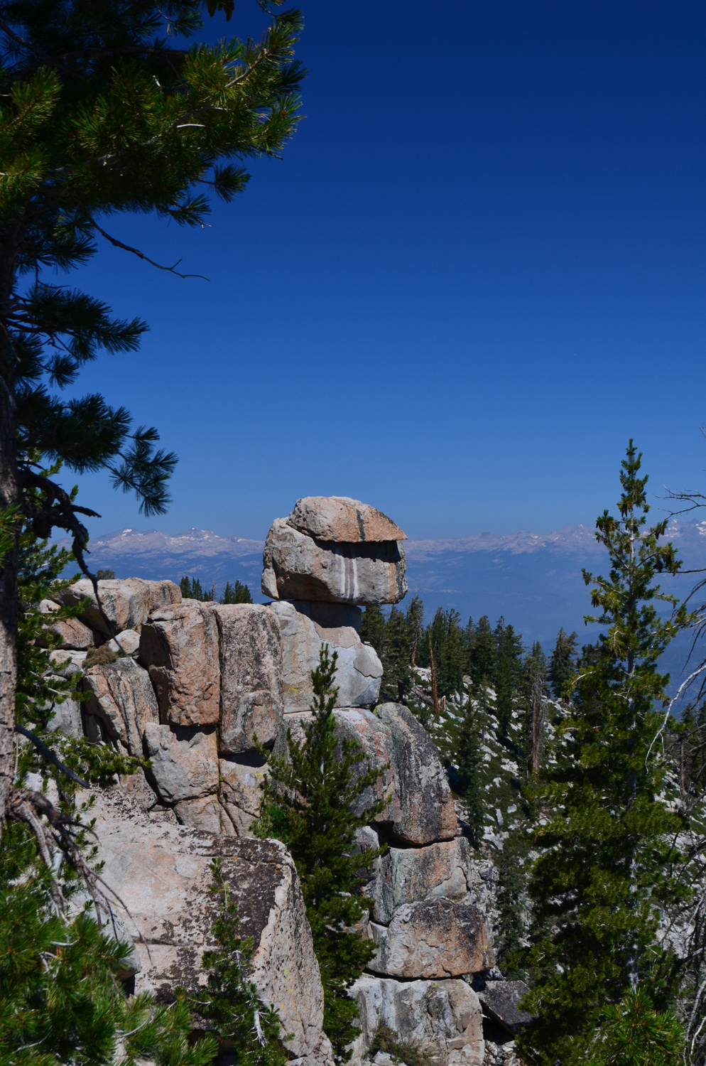
| Balanced rock at White Bark Vista | ||
 |
||
| The Silver Divide from White Bark Vista | ||
 |
||
| Huntington Lake from Dusy-Ershim Trail near White Bark Vista | ||
 |
 |
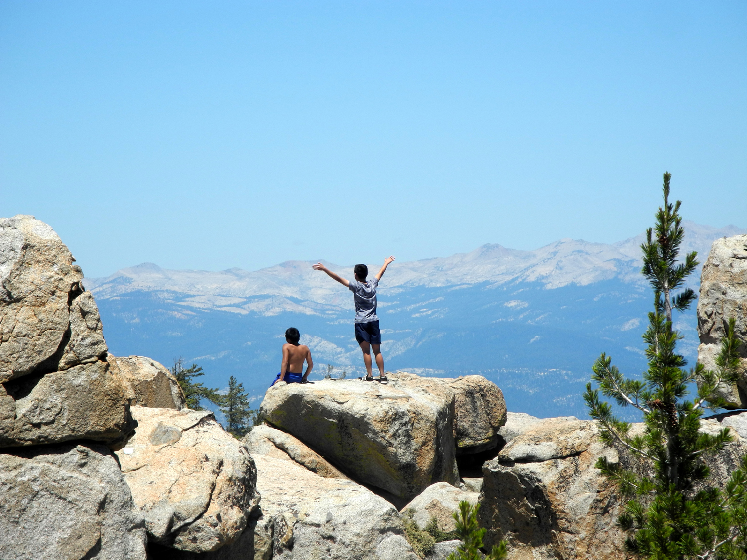 |
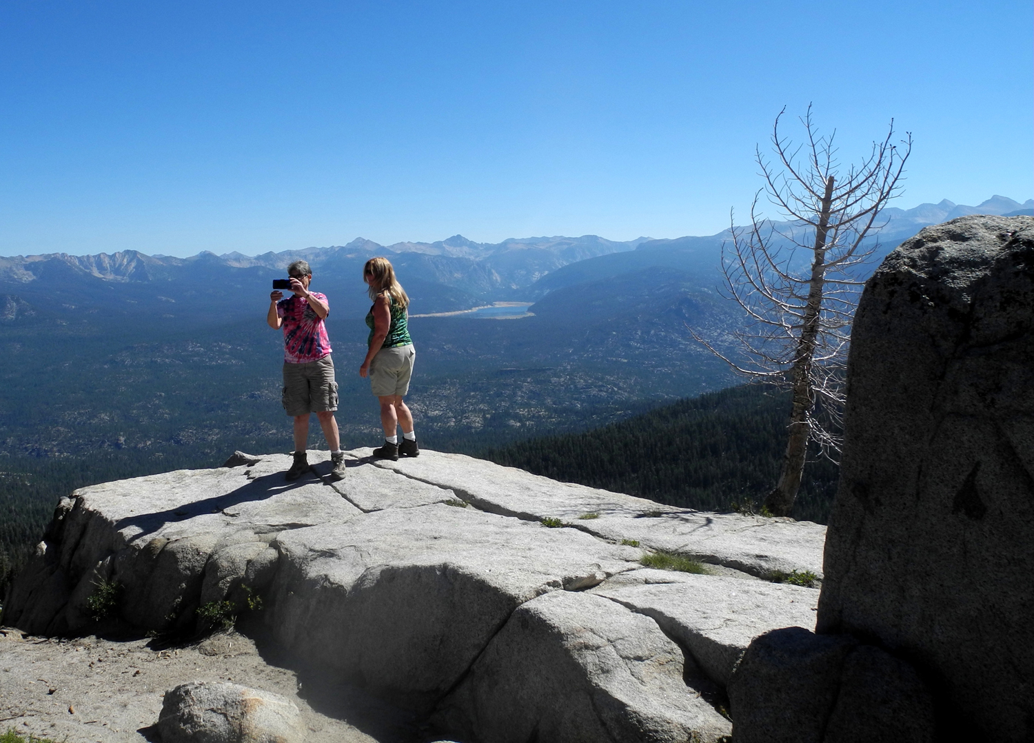
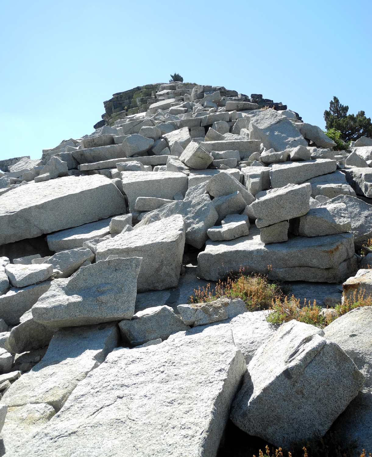
| A wonderful rock pile | Sandi and Teri out on the edge | Boys being boys |
 |
 |
 |
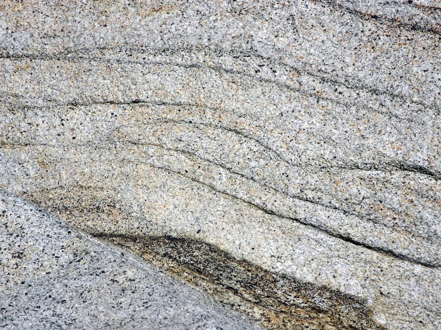
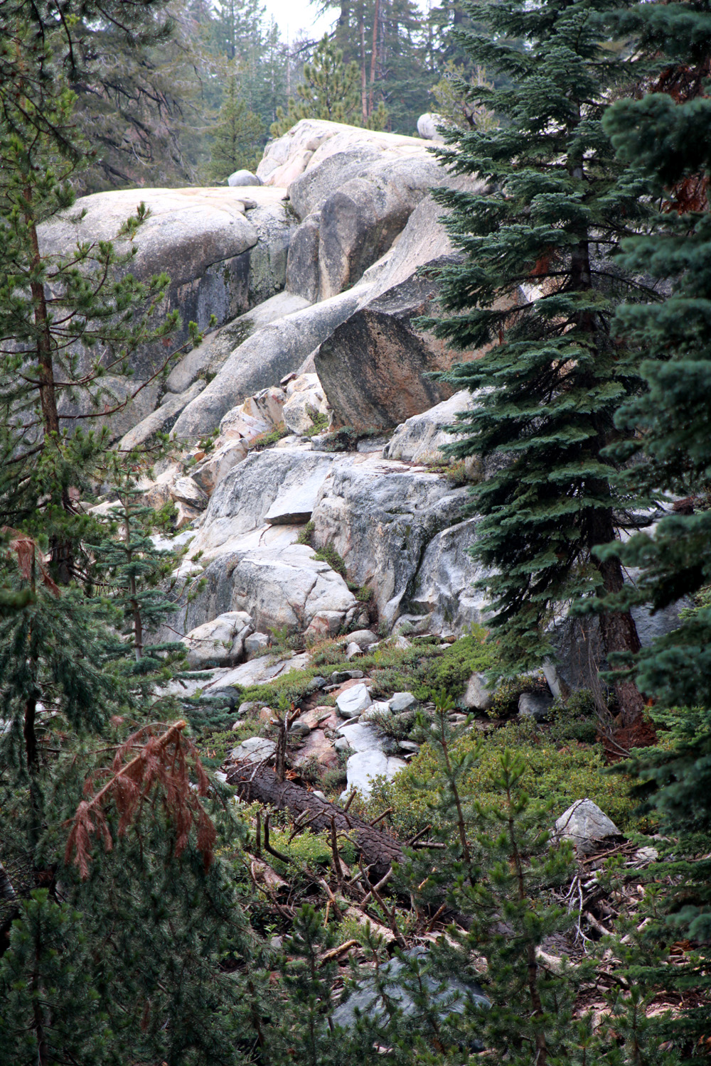
| Sculpted granite on the Dusy-Ershim Trail | Cascade on Rancheria Creek above Huntington Lake | Sailboat racing on Huntington Lake |
 |
 |
 |
|
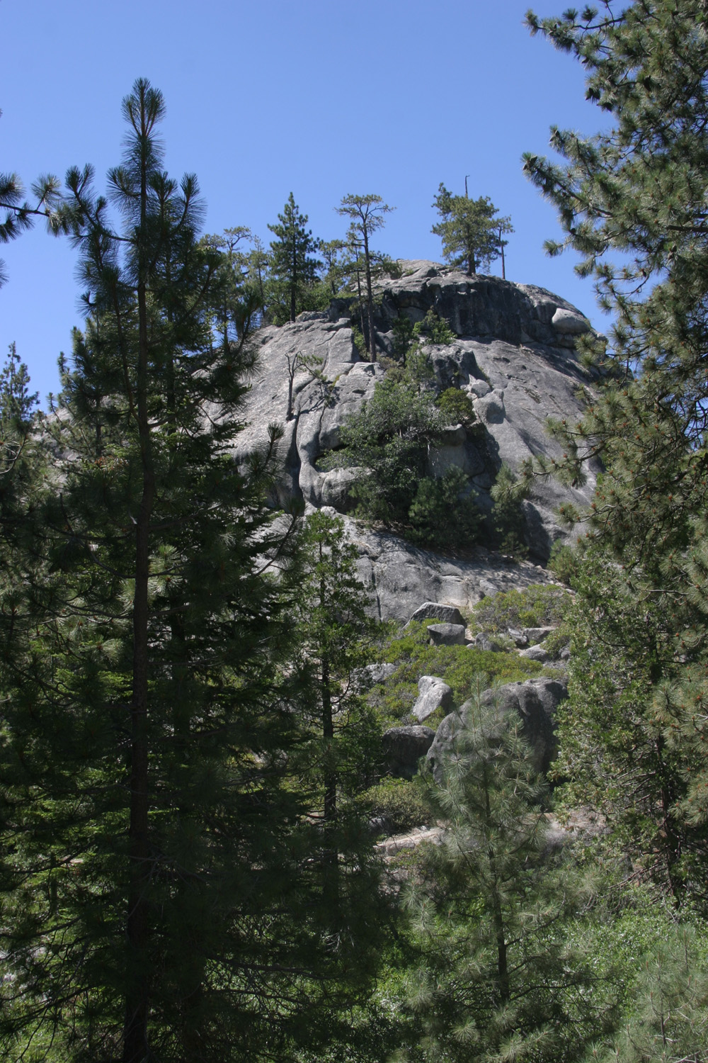
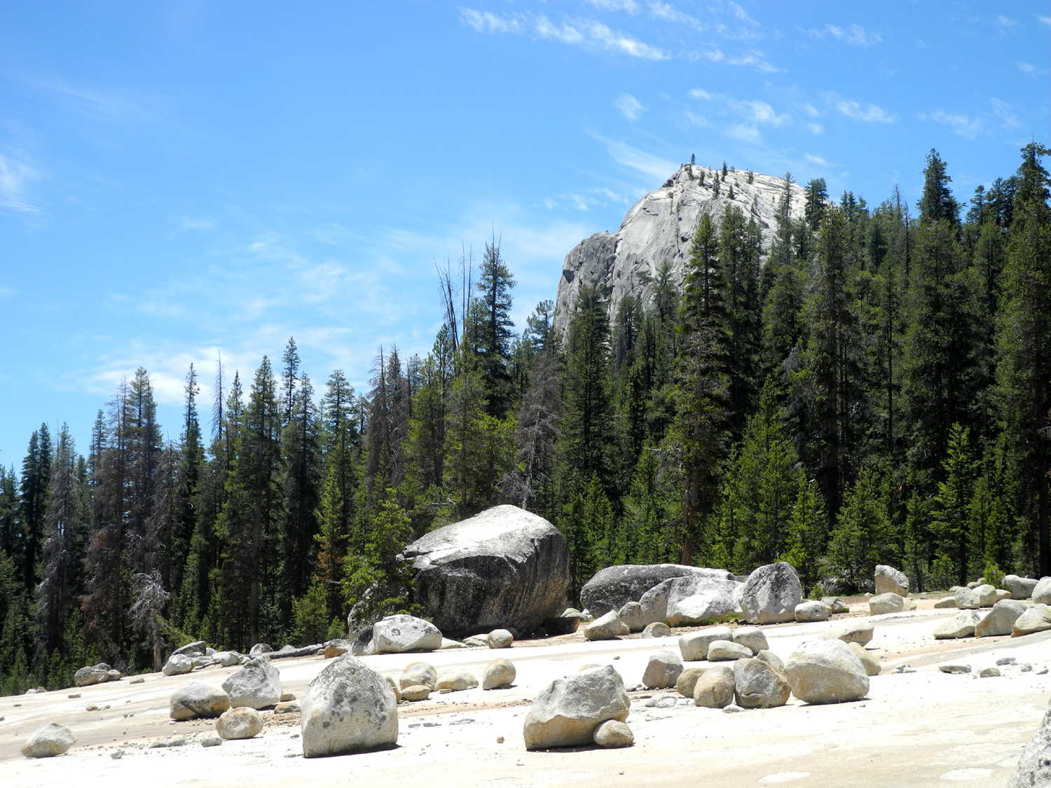
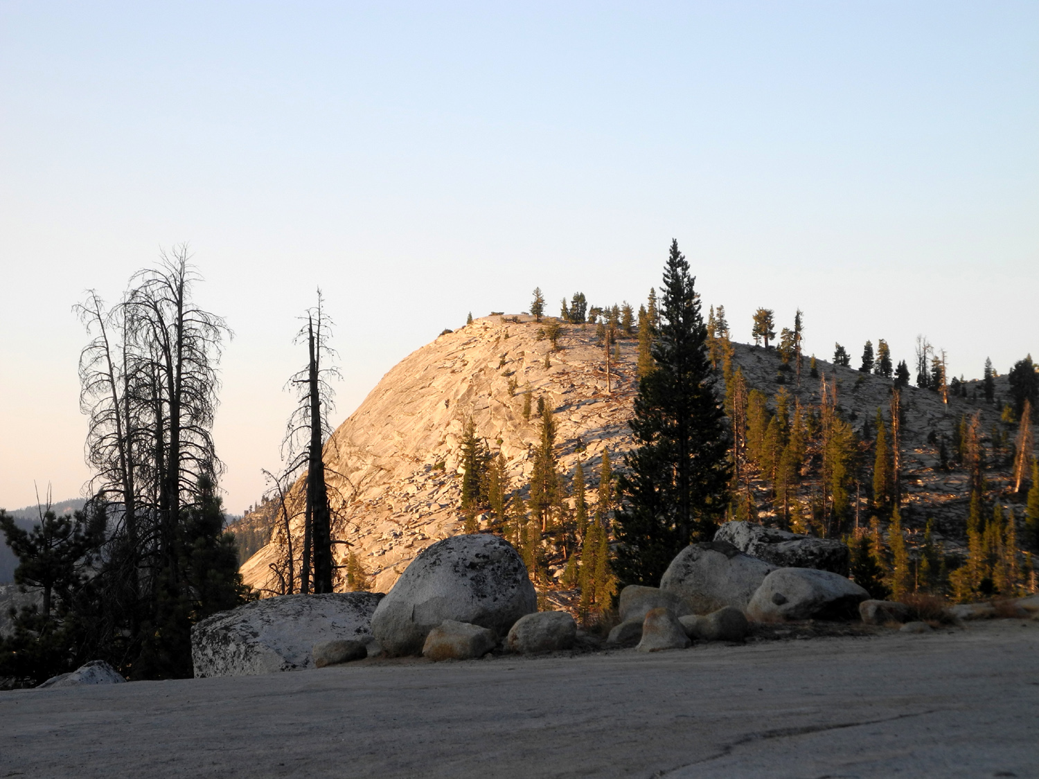
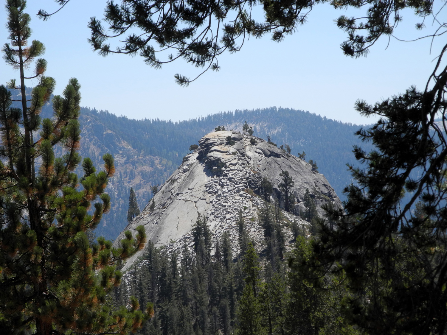
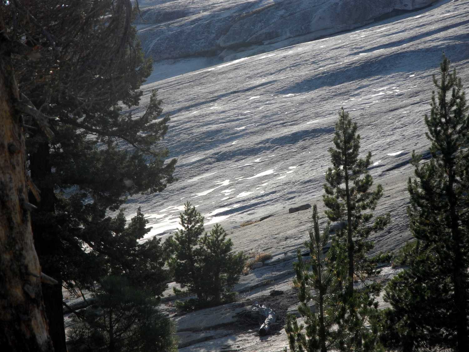
Rugged little dome below Shaver Lake Dam |
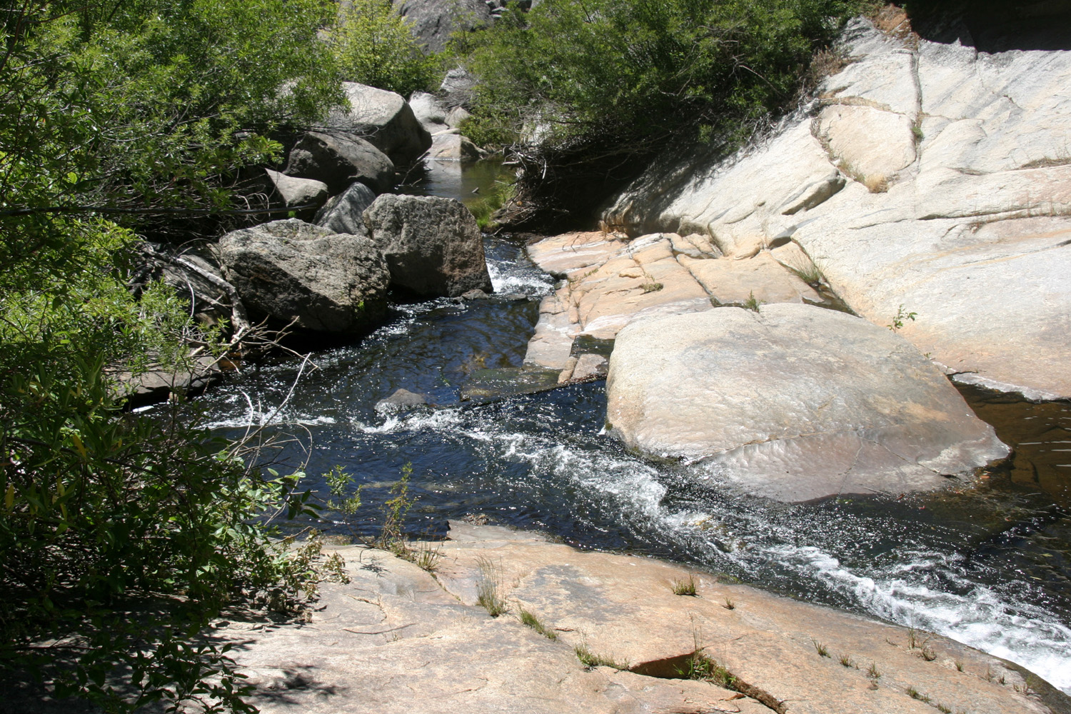
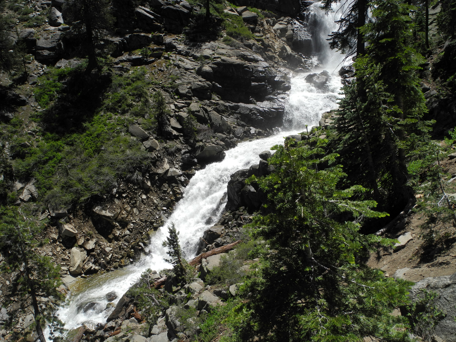
The creek beside the dome | Rancheria Falls across the canyon from Kaiser Pass Road |
 |
 |
 |
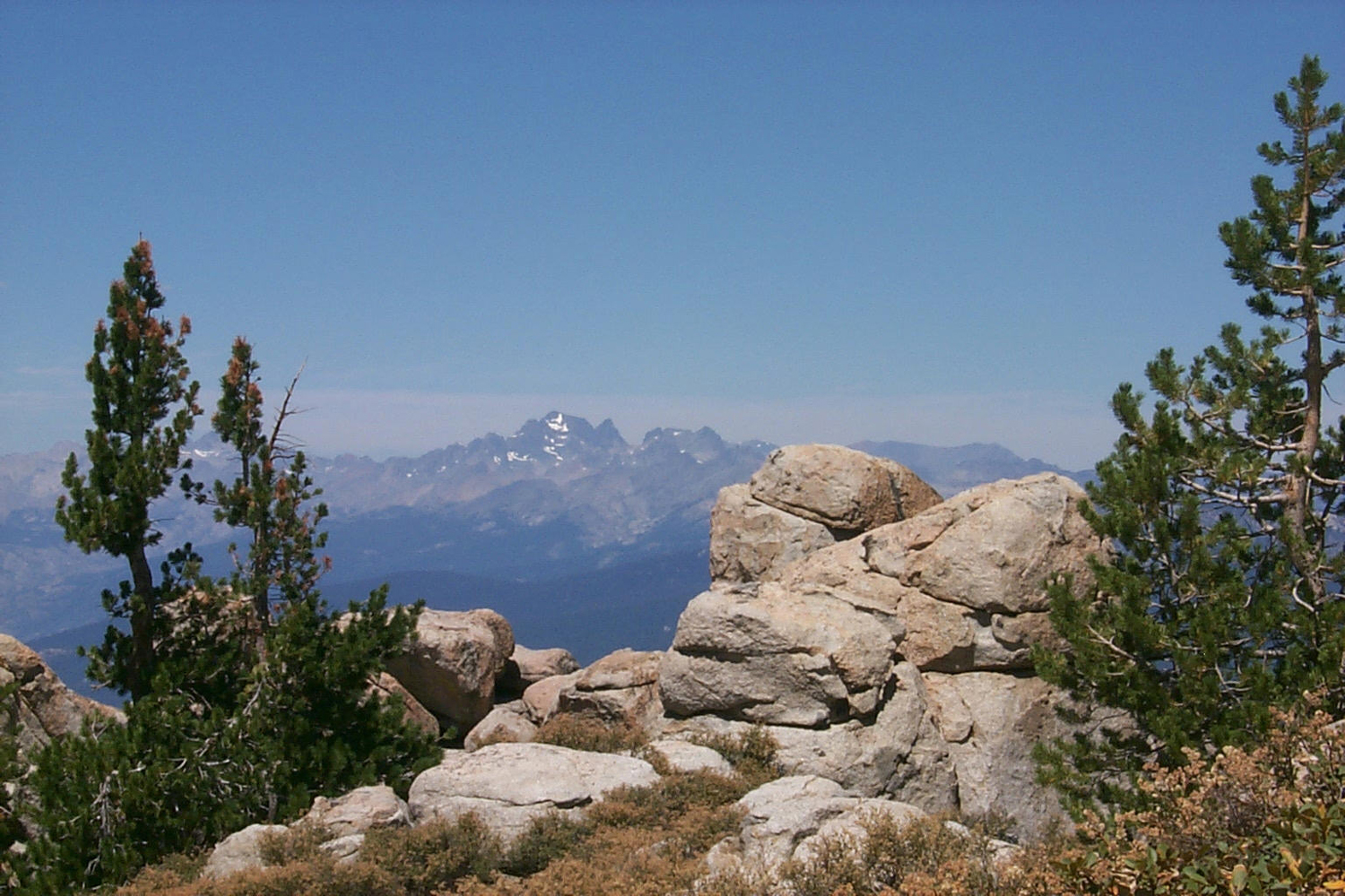
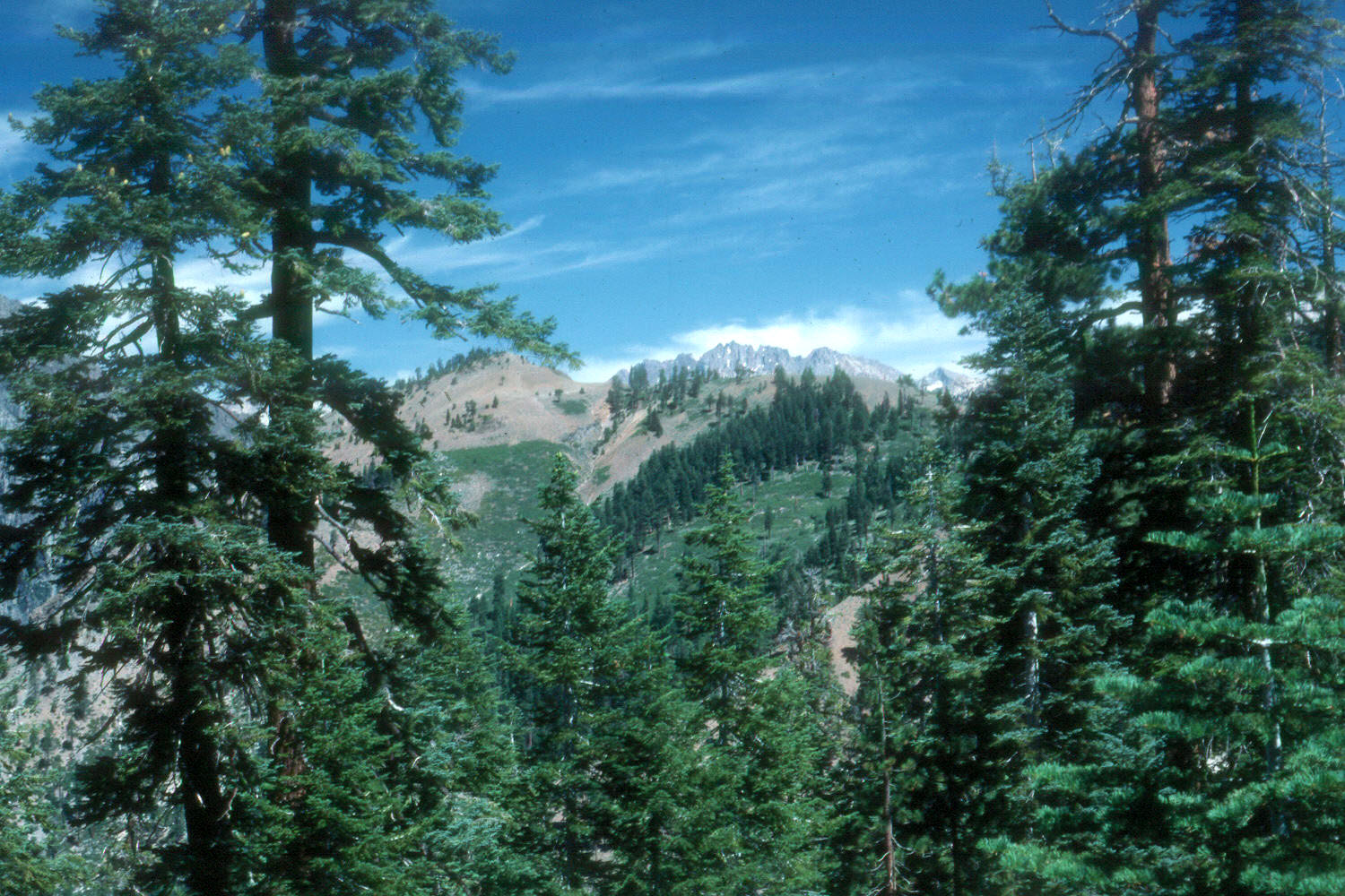
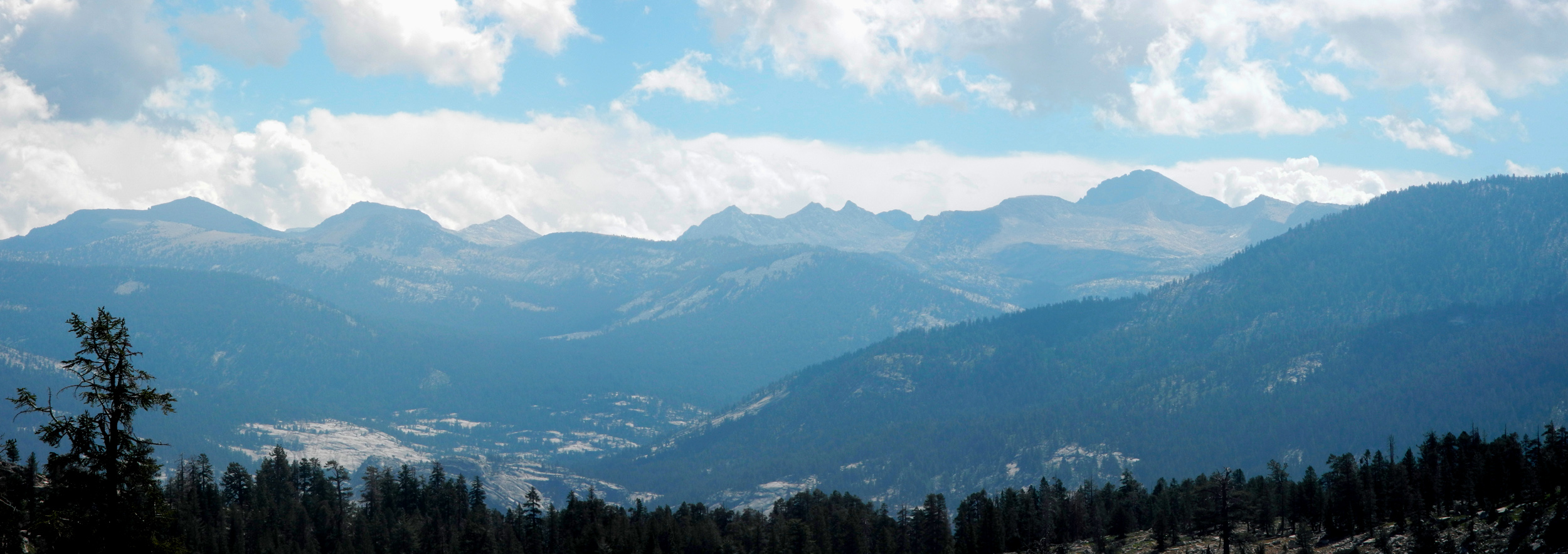
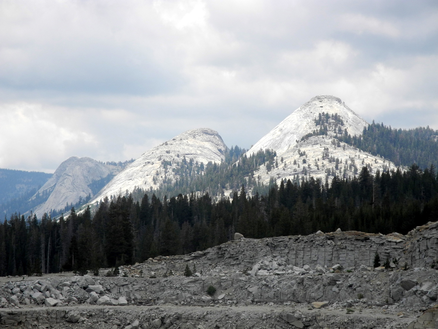
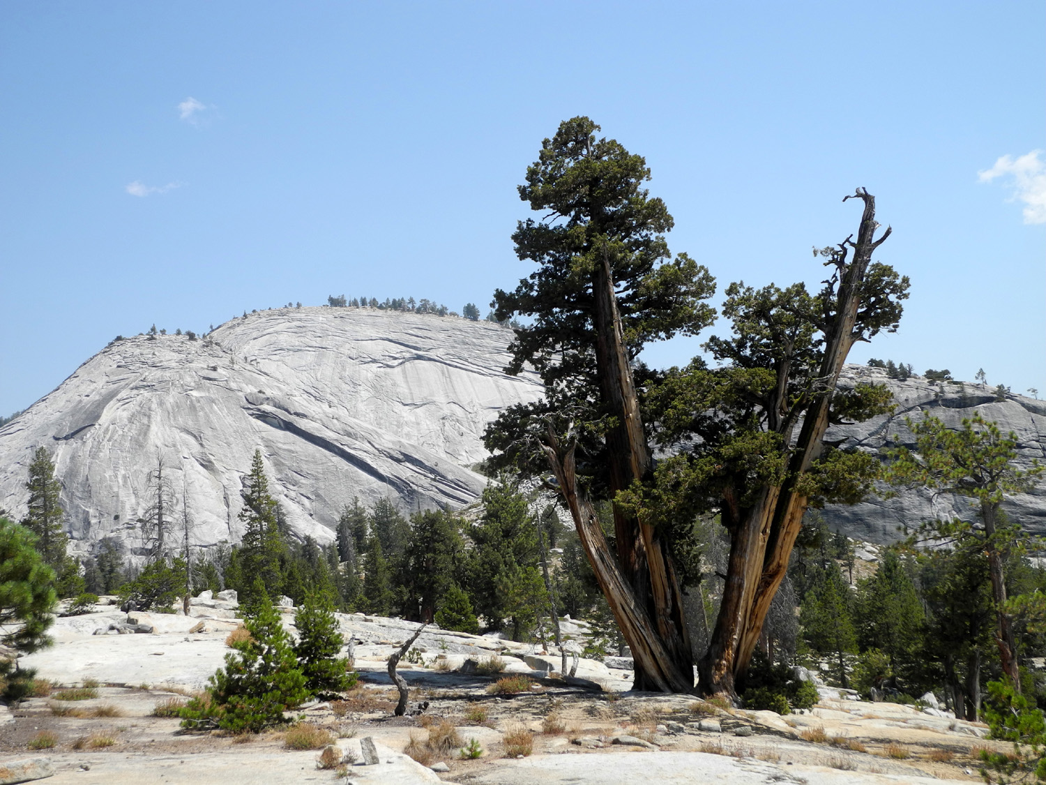
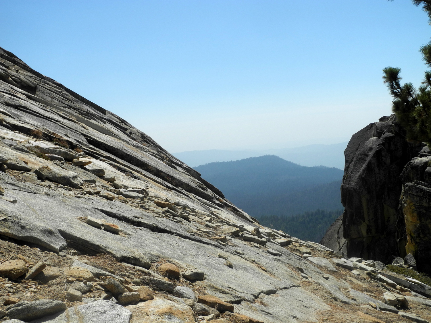
| A view of the Goddard Divide from above Kaiser Pass | We called this rock above Kaiser Pass Potato Rock |
Dogtooth Peak in the Dinkey Lakes wilderness, from above Kaiser Pass |
 |
 |
 |
| Big Creek above Huntington Lake, living up to its name | Looking downstream | Rancheria Creek near Huntington Lake |
 |
||
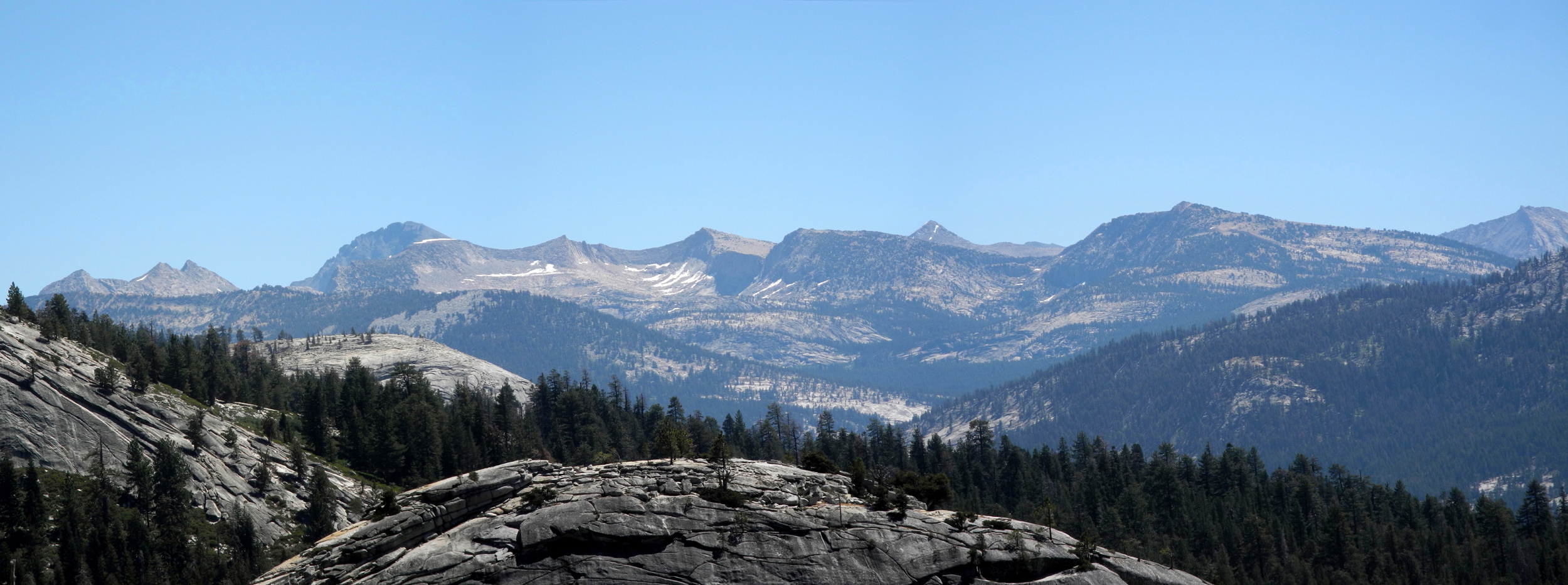
| Parts of the Goddard and LeConte Divides; Mt. Goddard is the large dark mountain toward the left | ||
 |
 |
 |
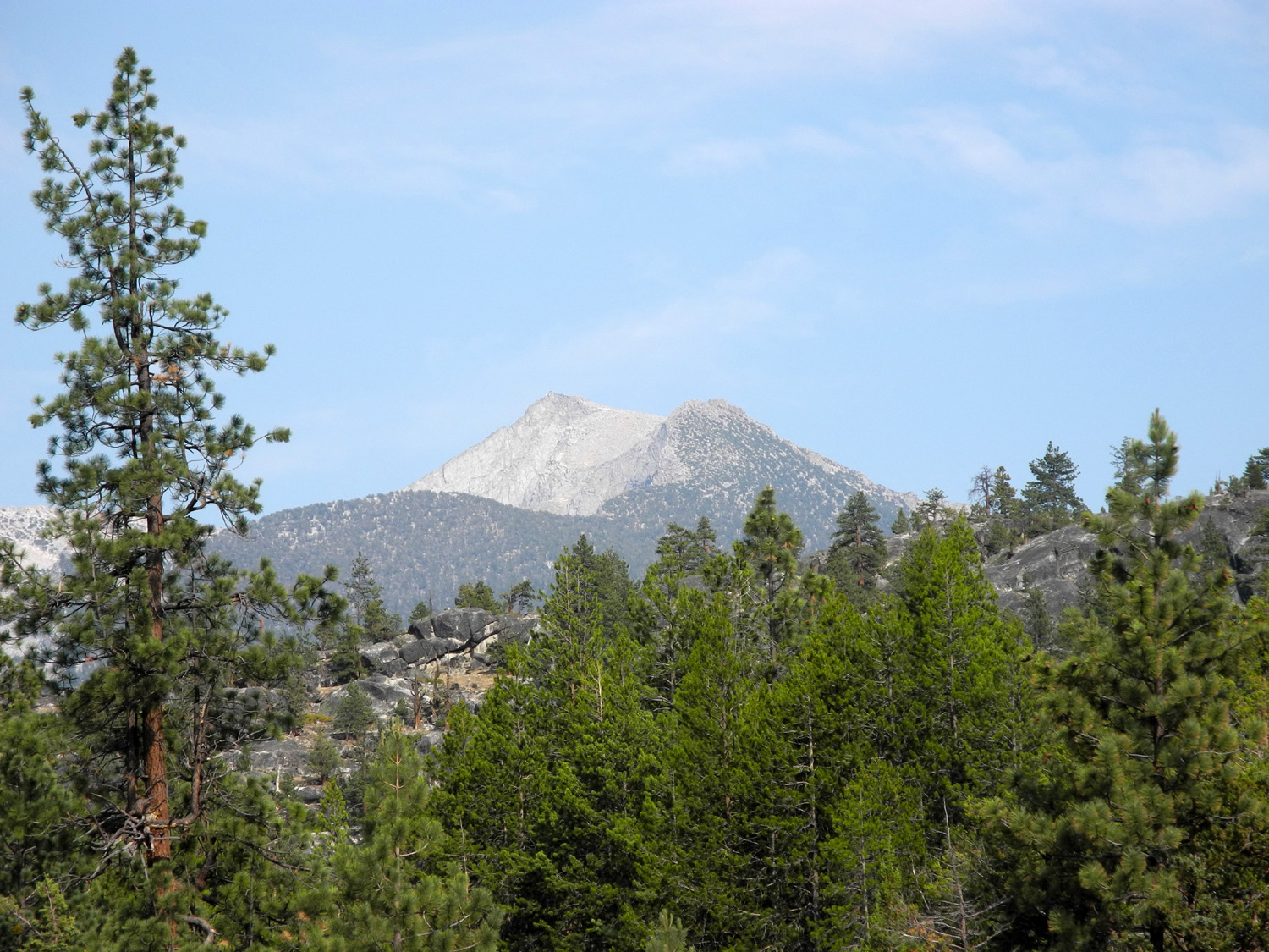
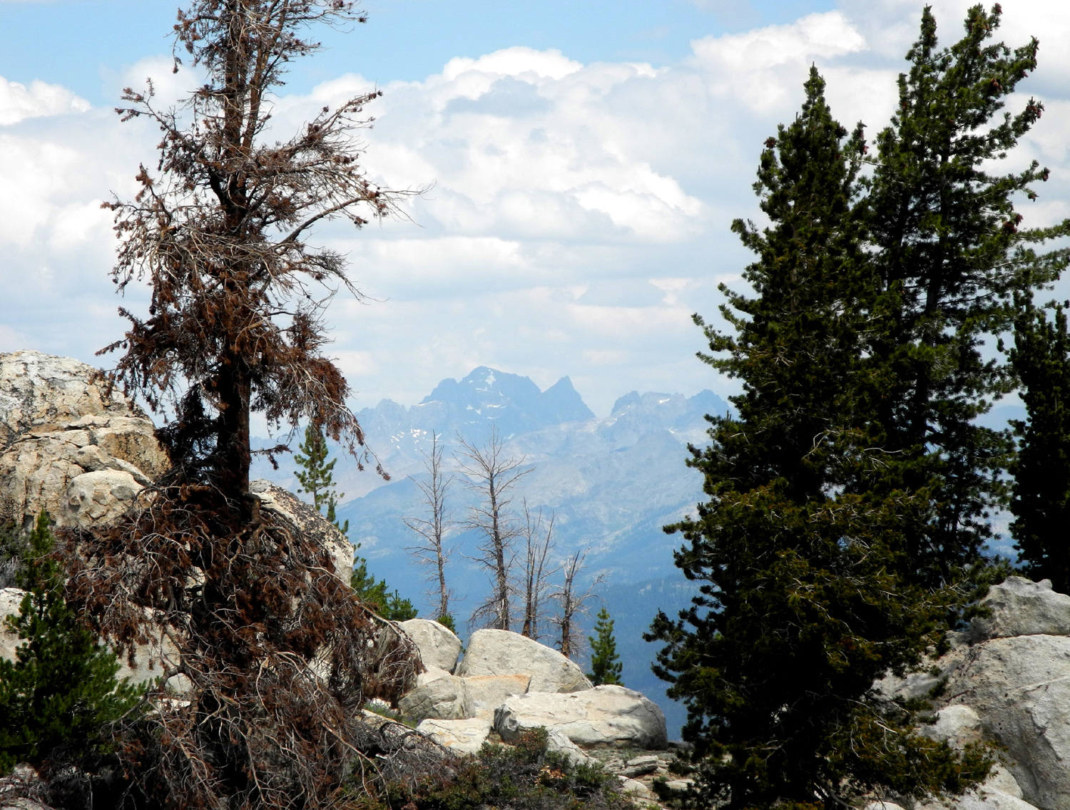
| Mt. Ritter from the Dusy-Ershim Trail | Mt. Goddard, seen from above Kaiser Pass | The "Overhanging Rock" at White Bark Vista above Kaiser Pass |
 |
 |
 |
| Dramatic
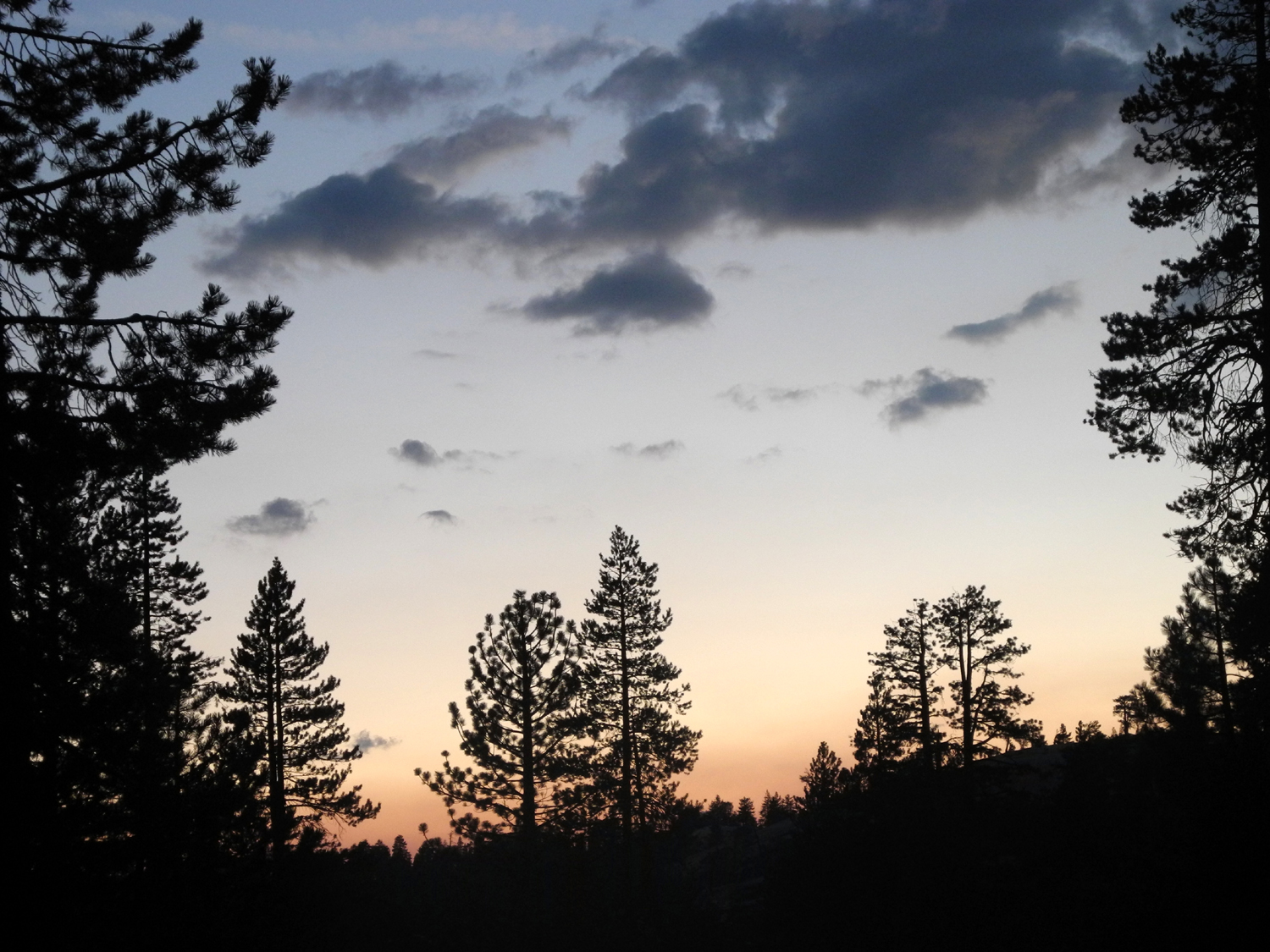
lighting on the Silver Divide, seen from White Bark Vista |
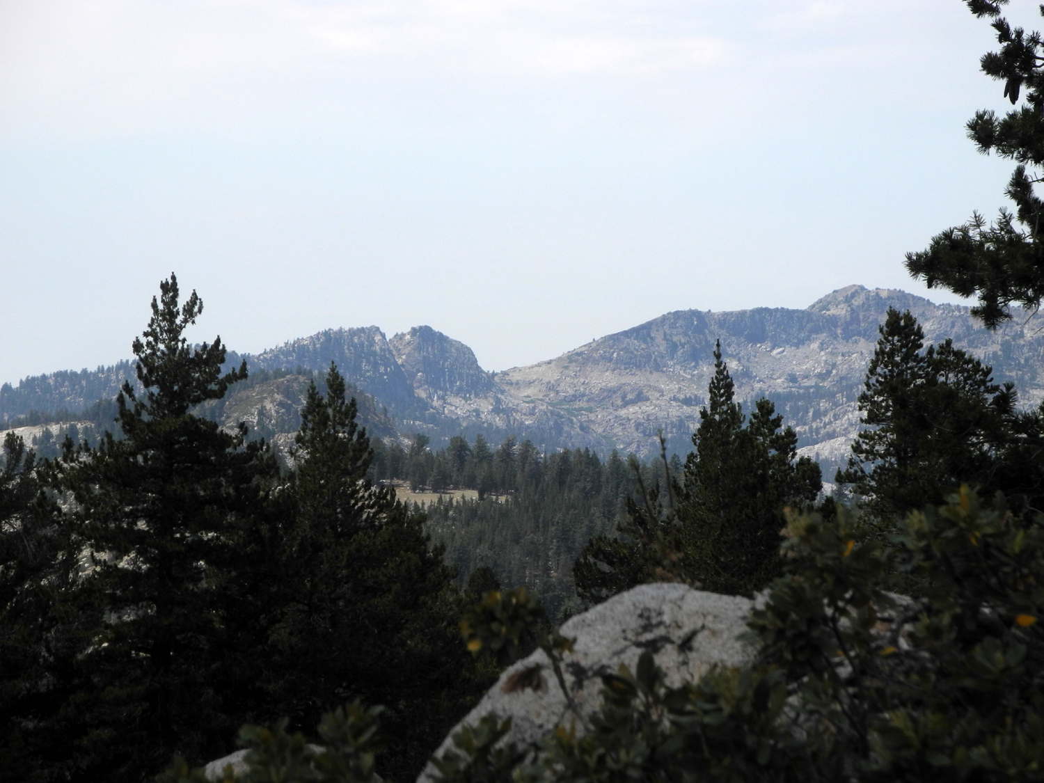
Kaiser Ridge and Kaiser Peak | The
trail to Balsam Forebay (by Wes Thiessen) |
 |
||
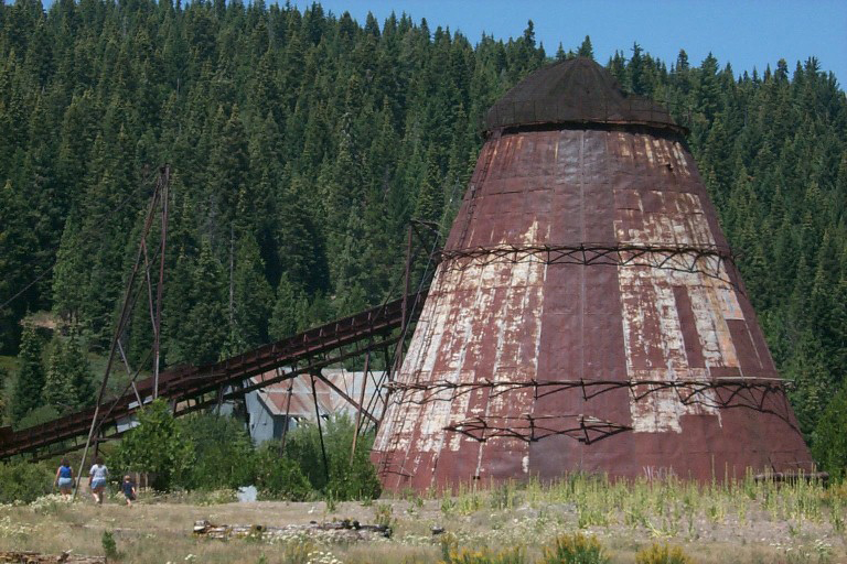
| Balsam Forebay, part of the Southern California Edison's Big Creek Hydroelectric Project (Thiessen) | ||
 |
 |
 |
| Another
view of the forebay (by Keith Sohm) |
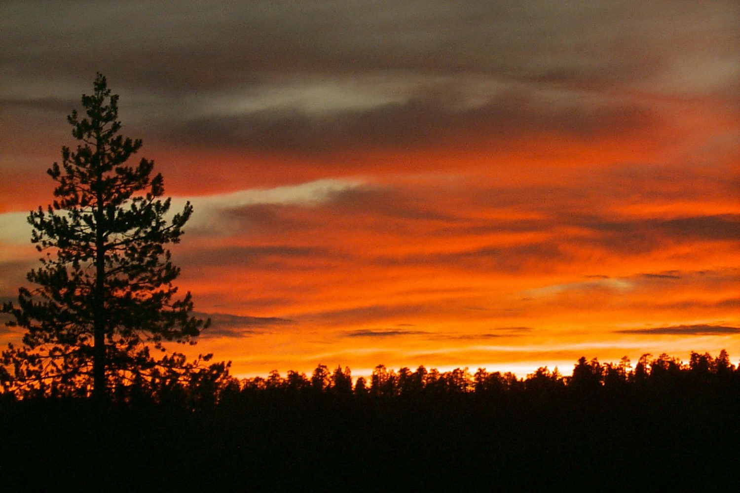
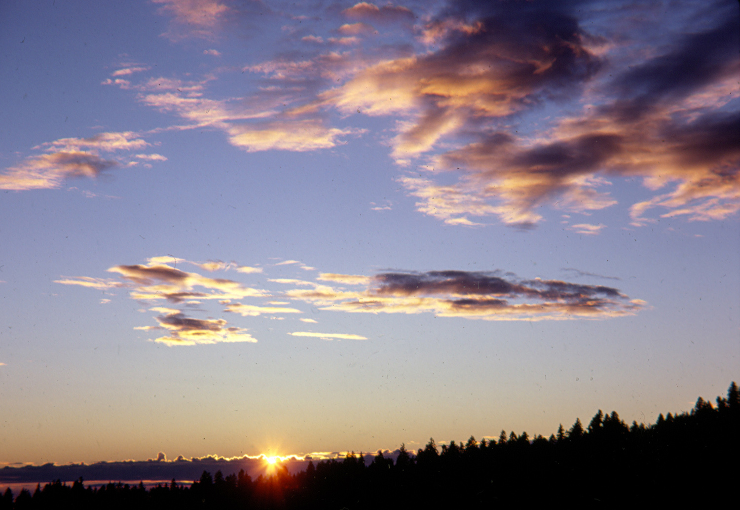
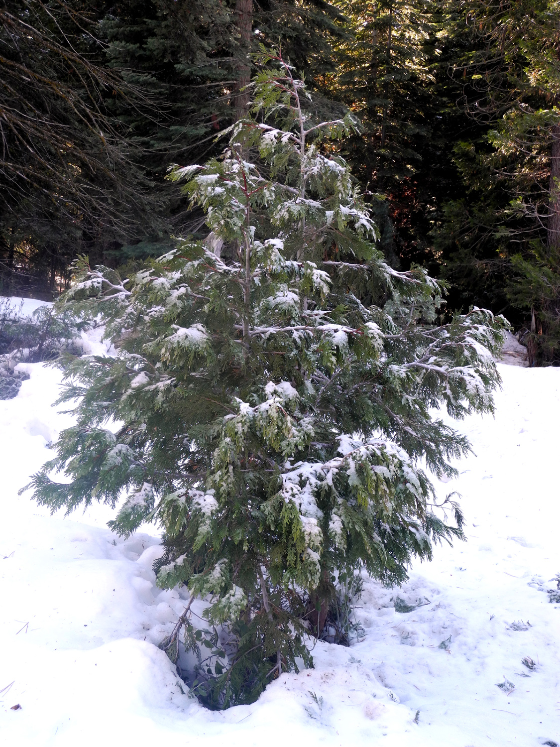
An
early snowstorm gave us this delightful scene |
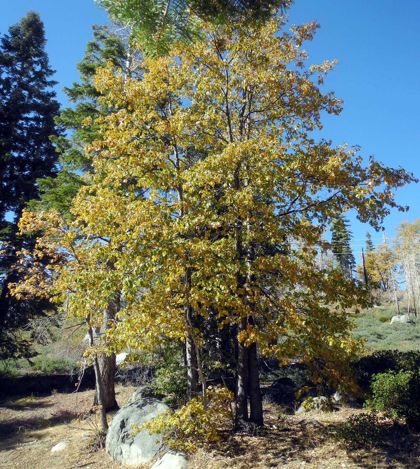
In
late October, few leaves have turned on this black oak |
| Dinkey Creek - Wishon - Courtright Area | ||
 |
 |
 |
| Sunset from Stargazer Rock | Rock Creek | Lake Wishon |
 |
 |
 |
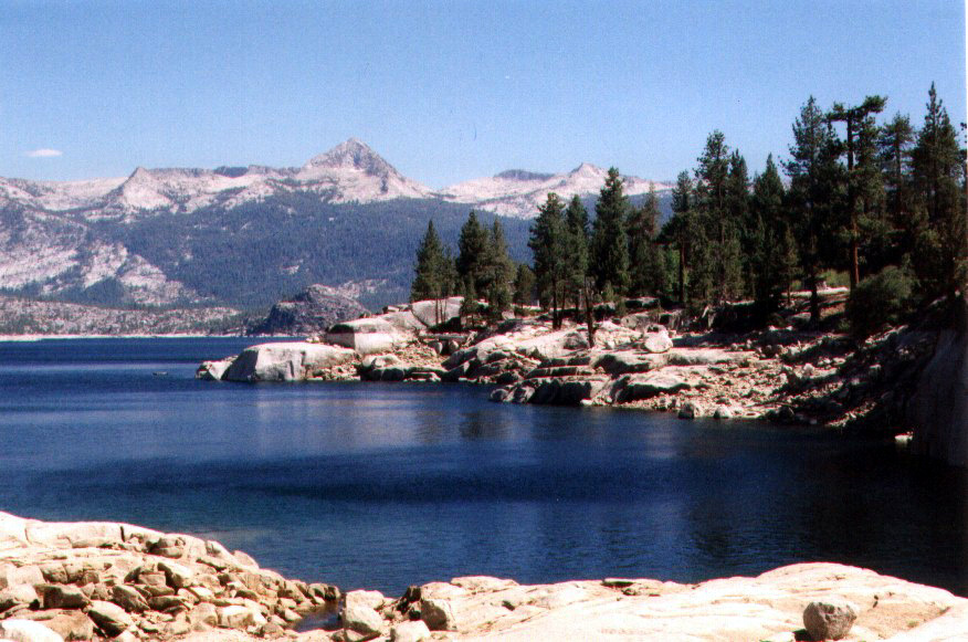
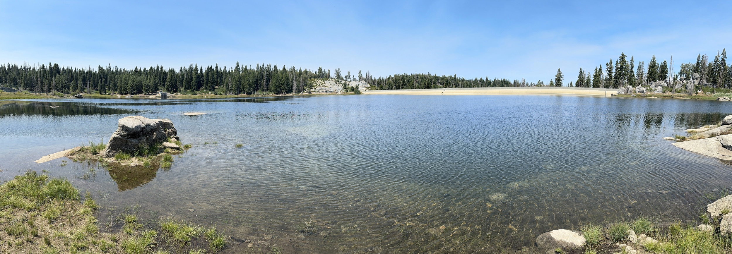
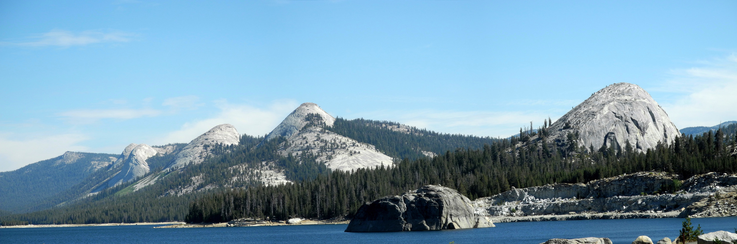
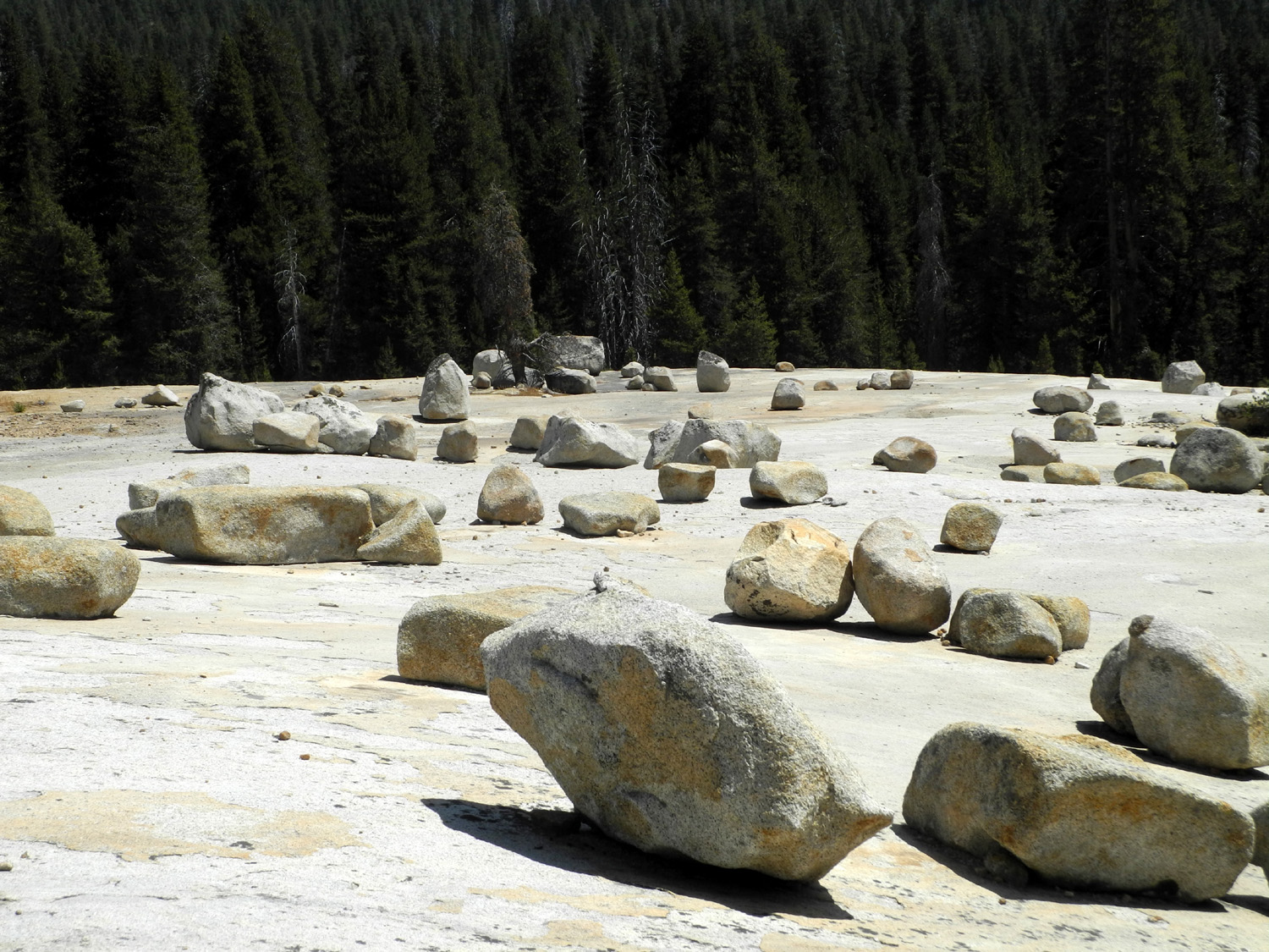
| Courtright Reservoir | Glacial erratics near Courtright Reservoir |
Another view of the boulders and glacier polish |
 |
 |
 |
| LeConte Divide from Courtright | Juniper on the Courtright Trail | Pond on old Wishon Road |
 |
 |
 |
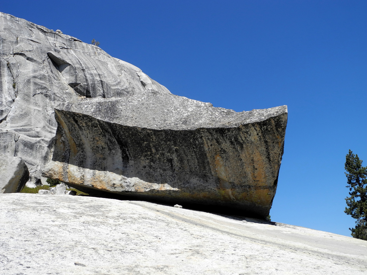
| Shaver Lake | Big rock eats little rock | Minarets from the east |
 |
 |
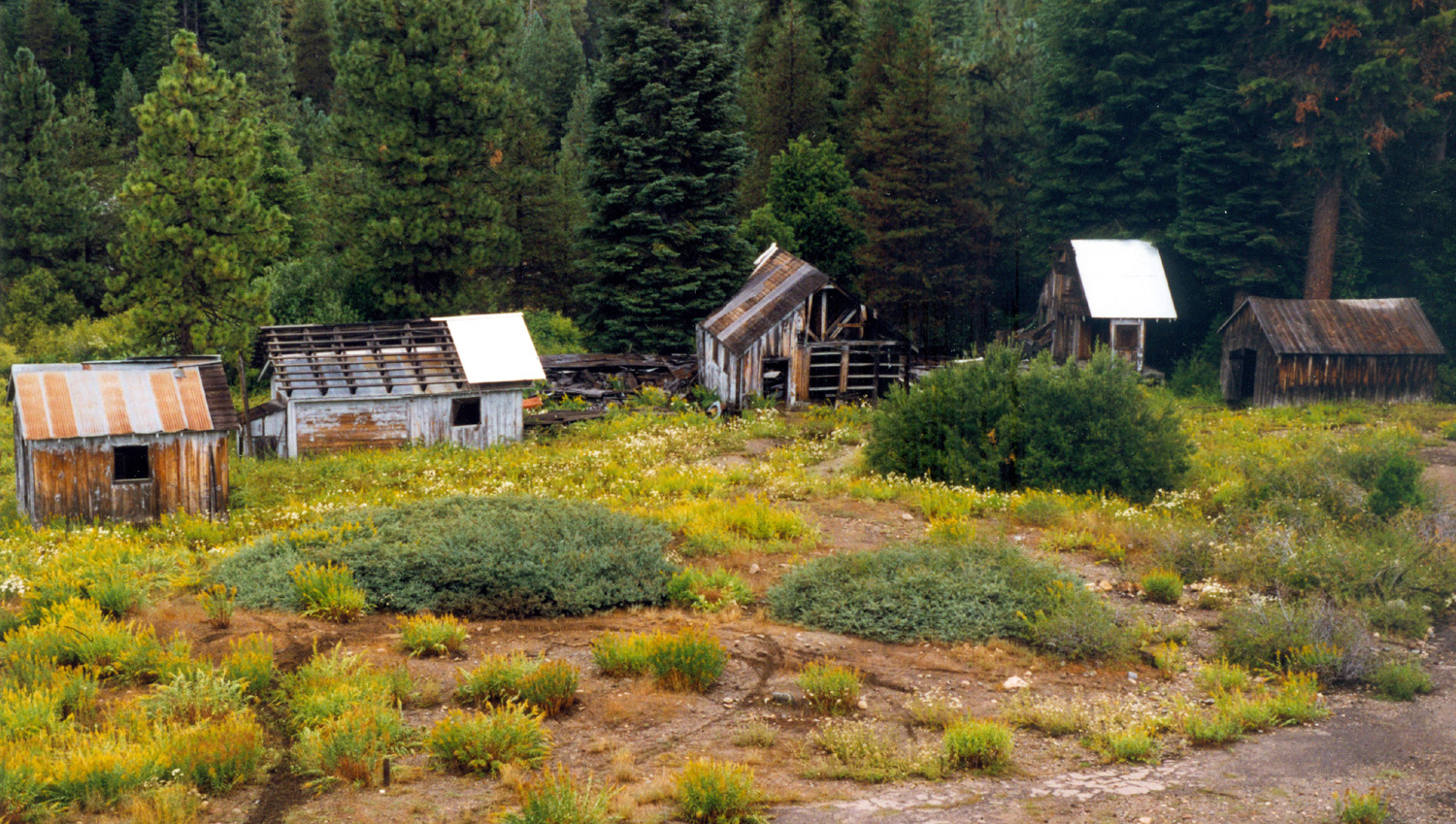 |
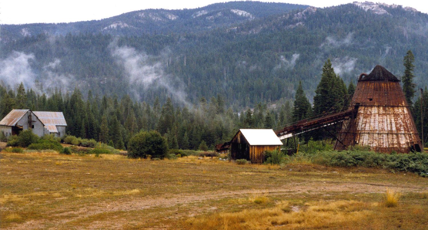
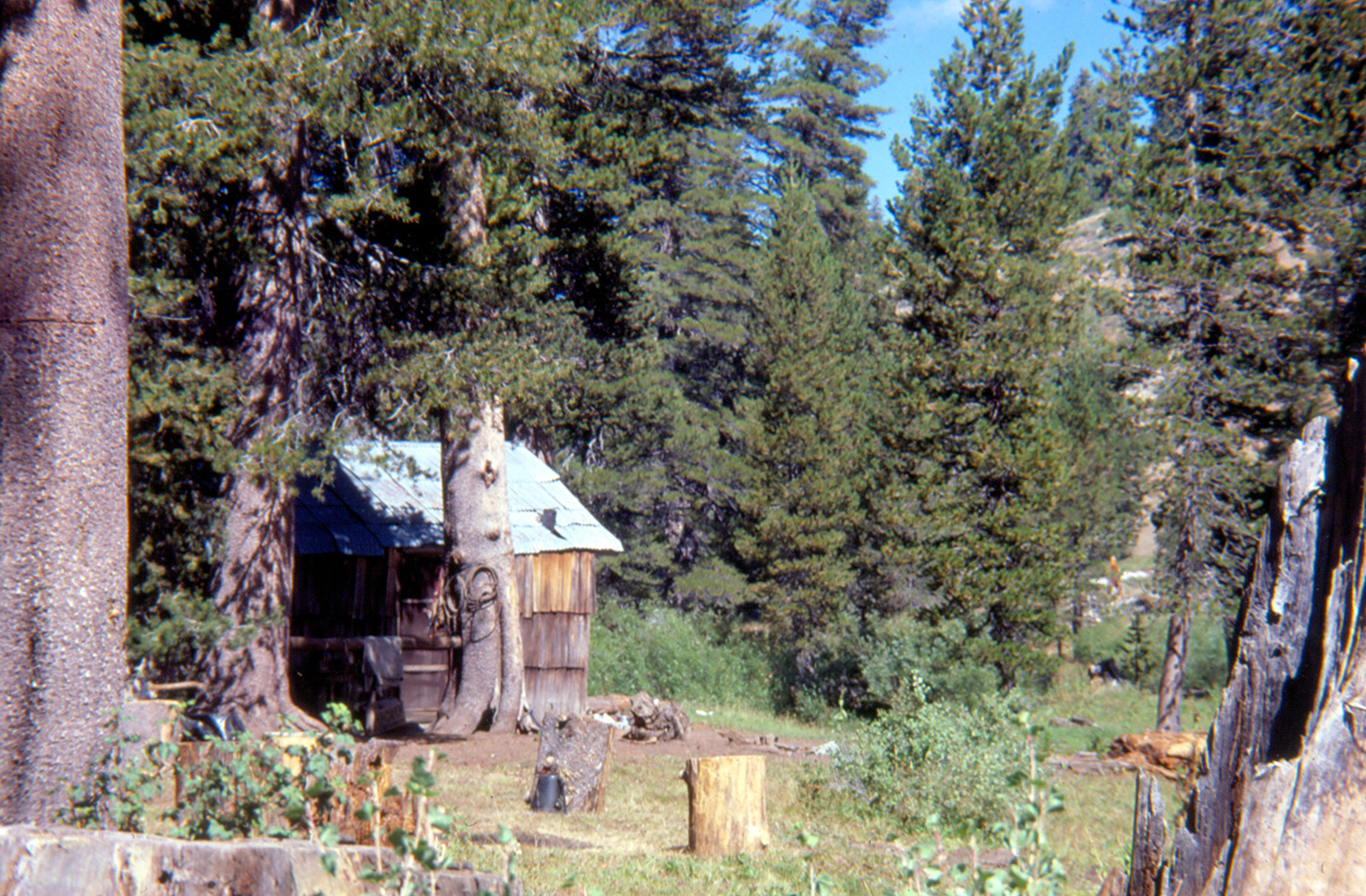
| Dinkey Creek Mill (ceased operations about 1975) | ||
 |
 |
 |
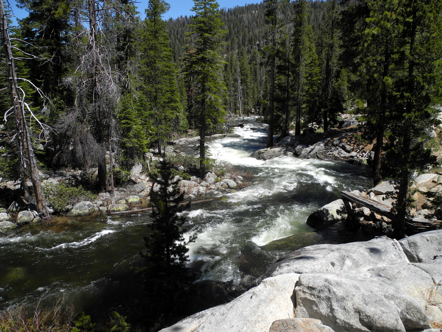
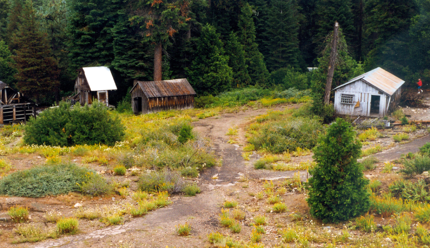
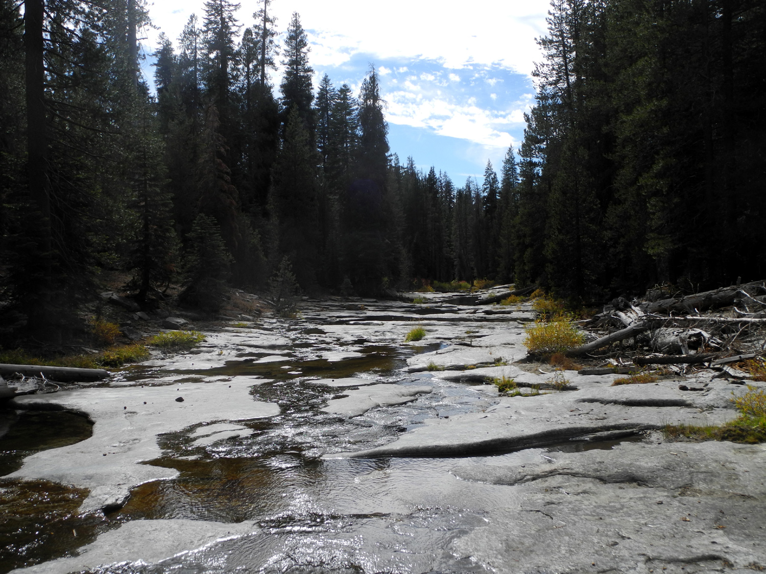
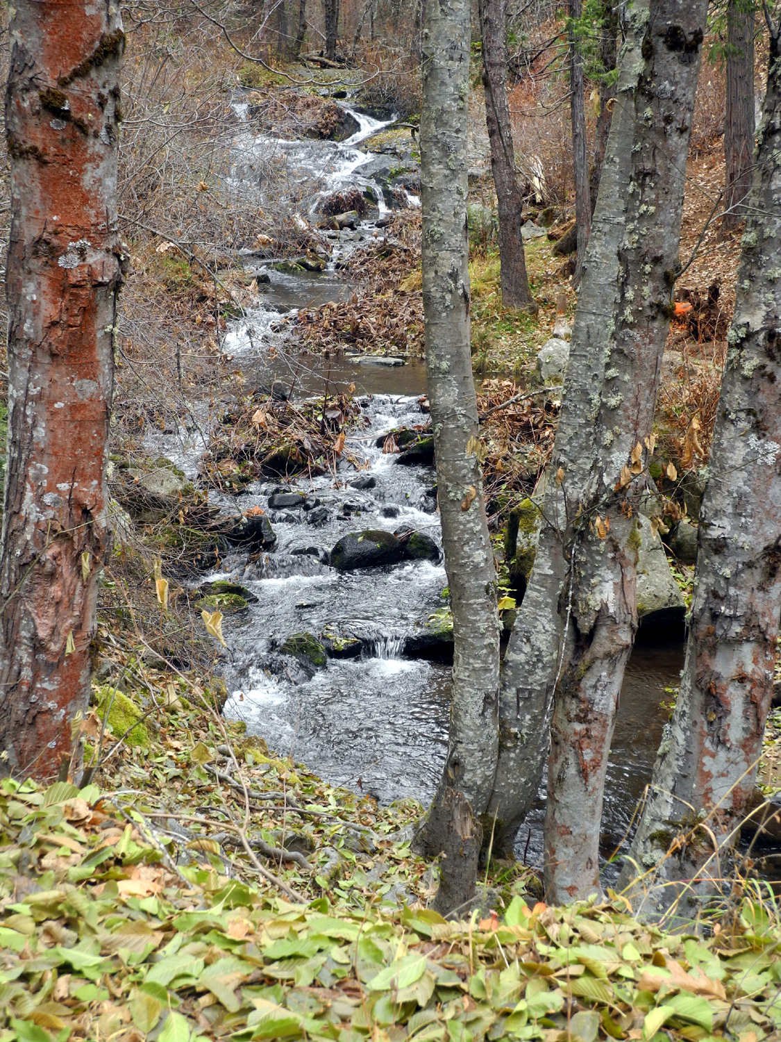
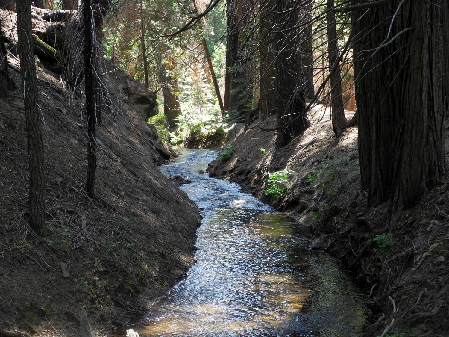
| Trash burner at the mill | Dinkey Creek Drainage | Rock Creek |
 |
 |
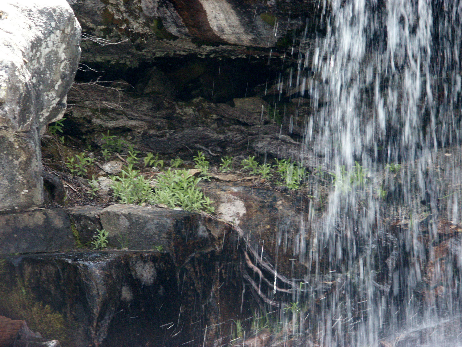 |
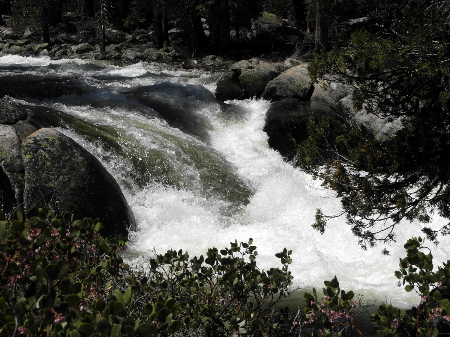
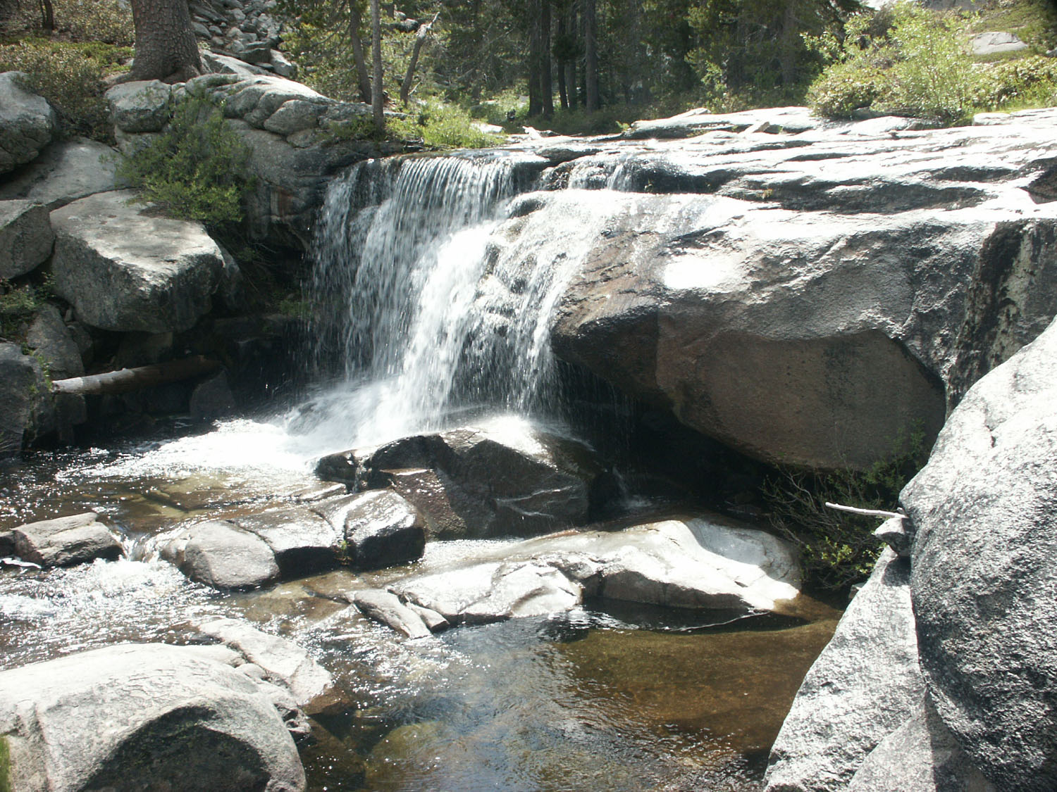
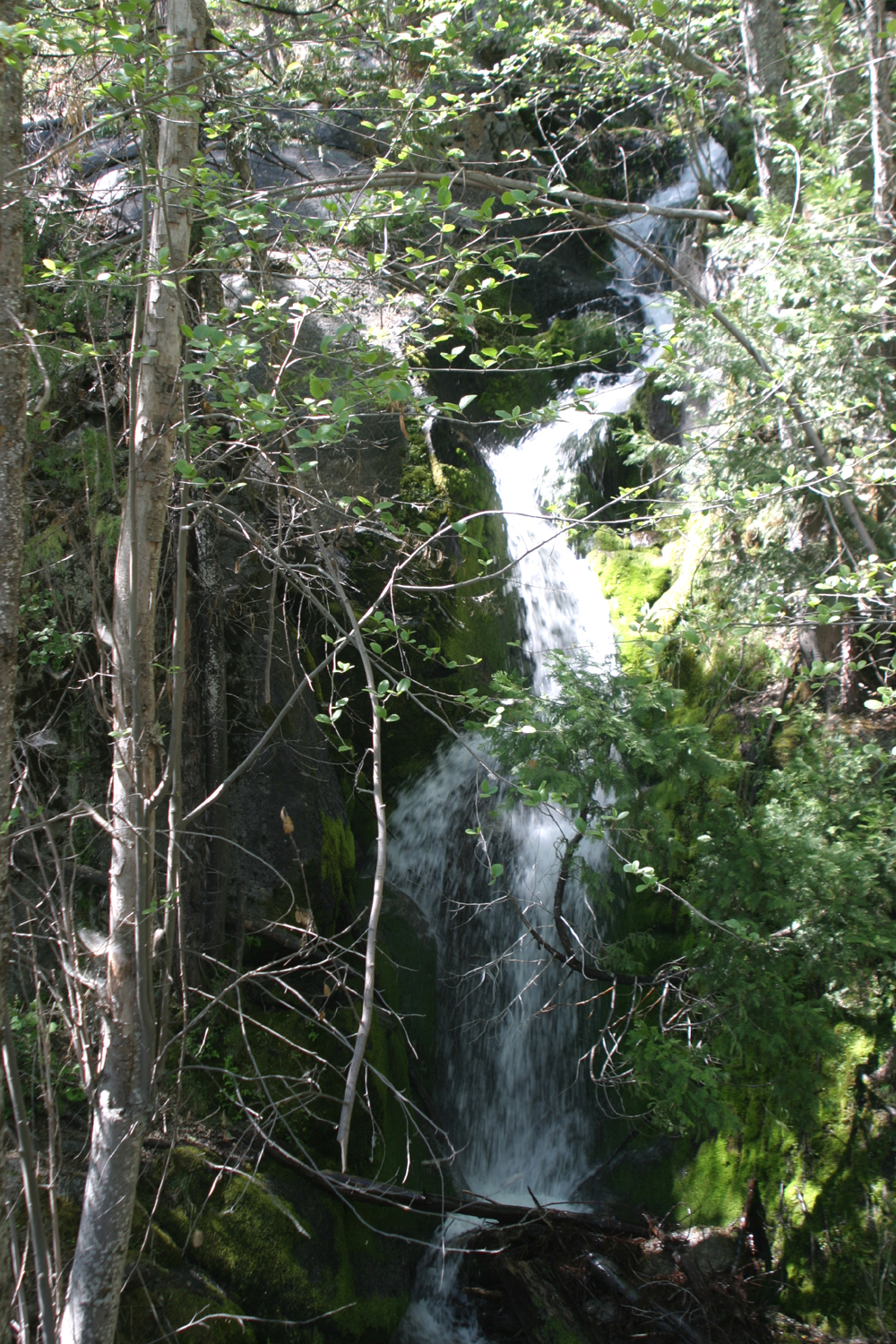
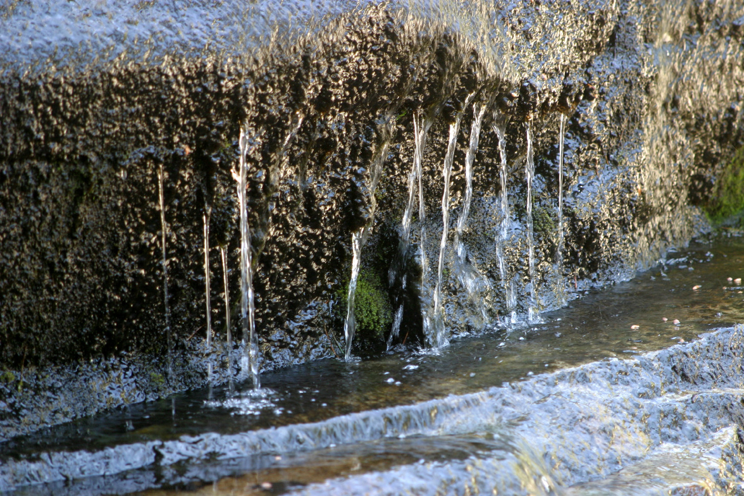
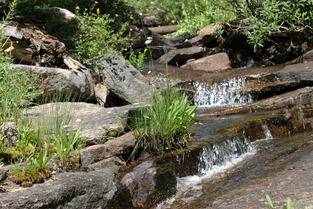
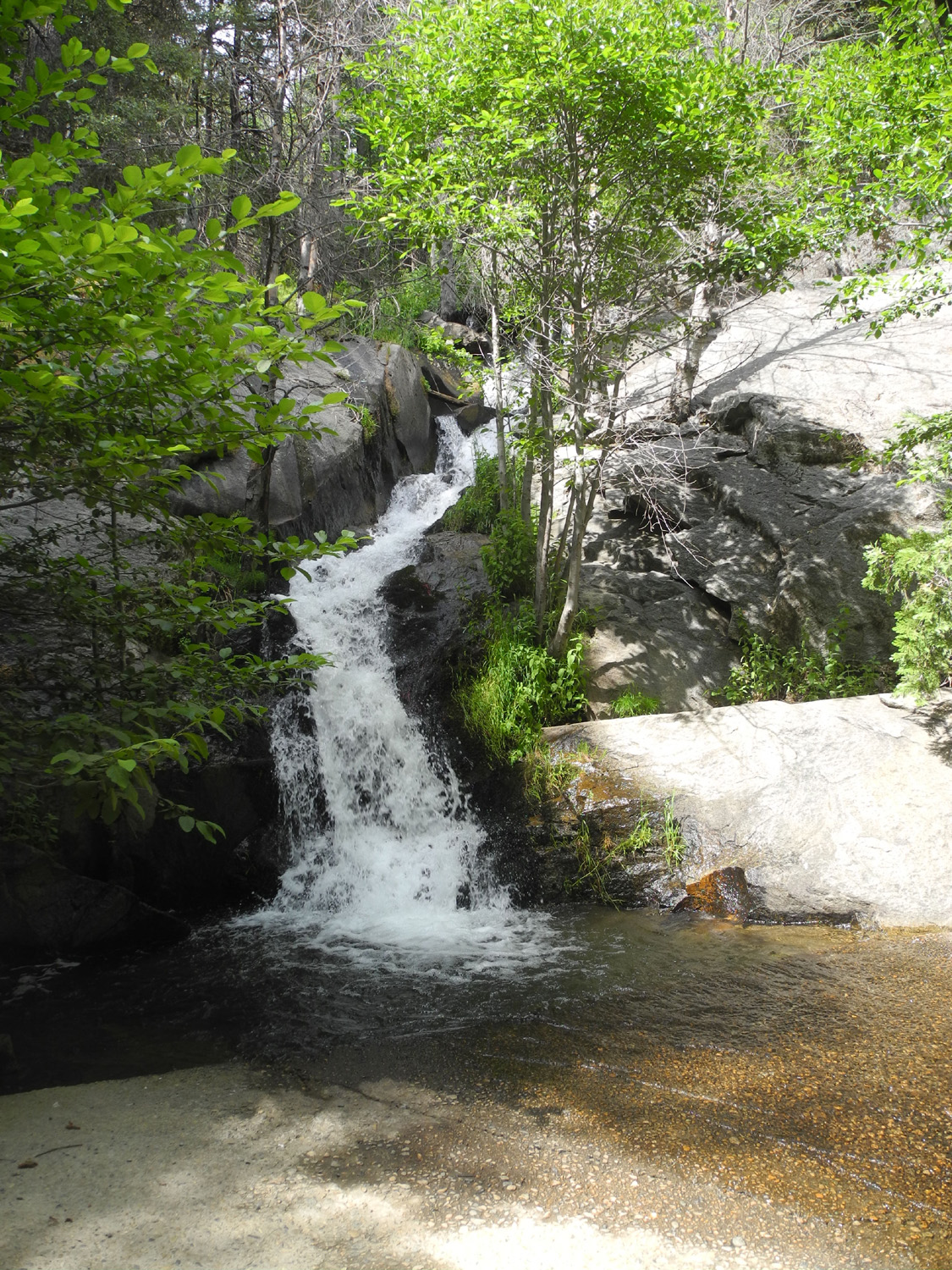
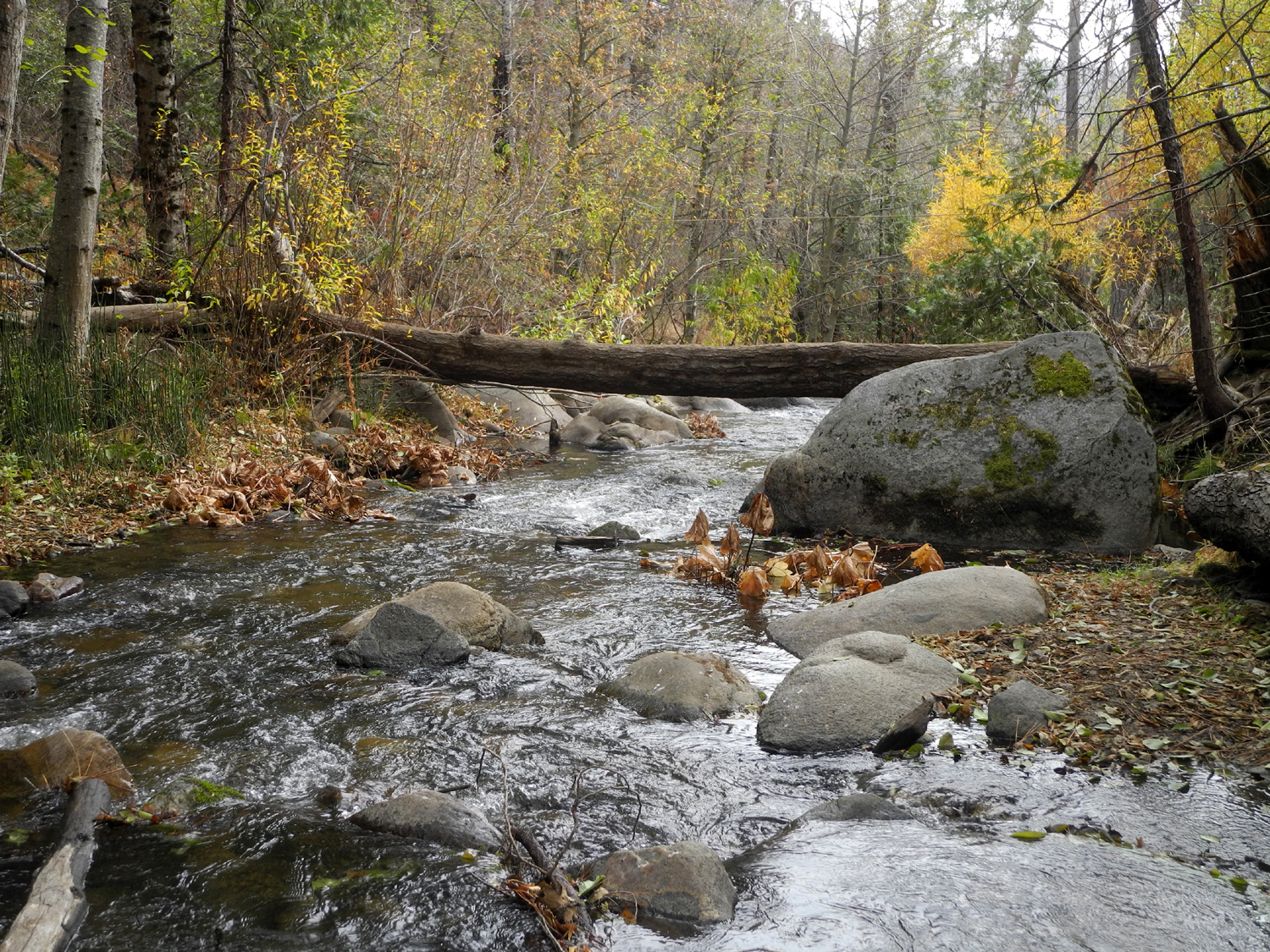
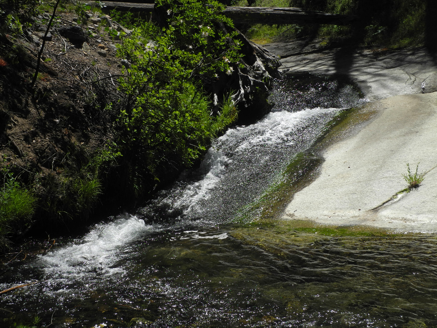
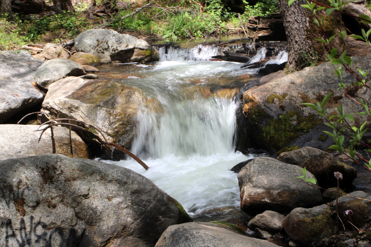
| Waterfall on Rock Creek | Another Rock Creek waterfall | Close up of waterfall on Rock Creek |
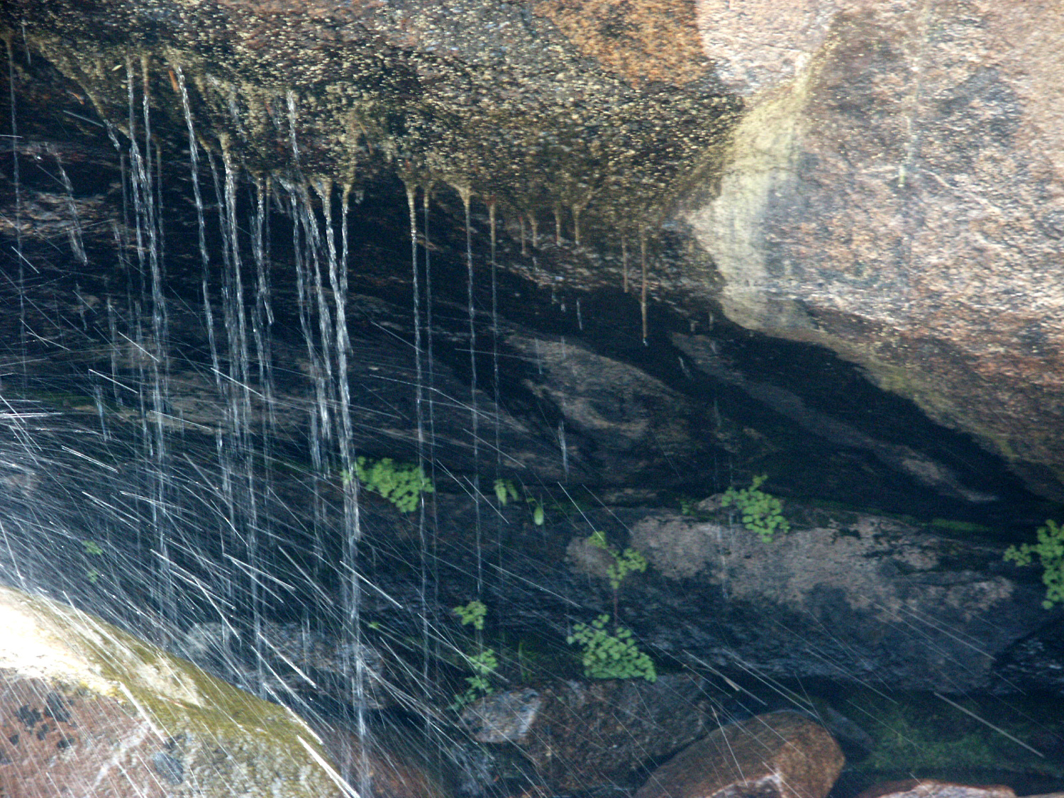 |
 |
 |
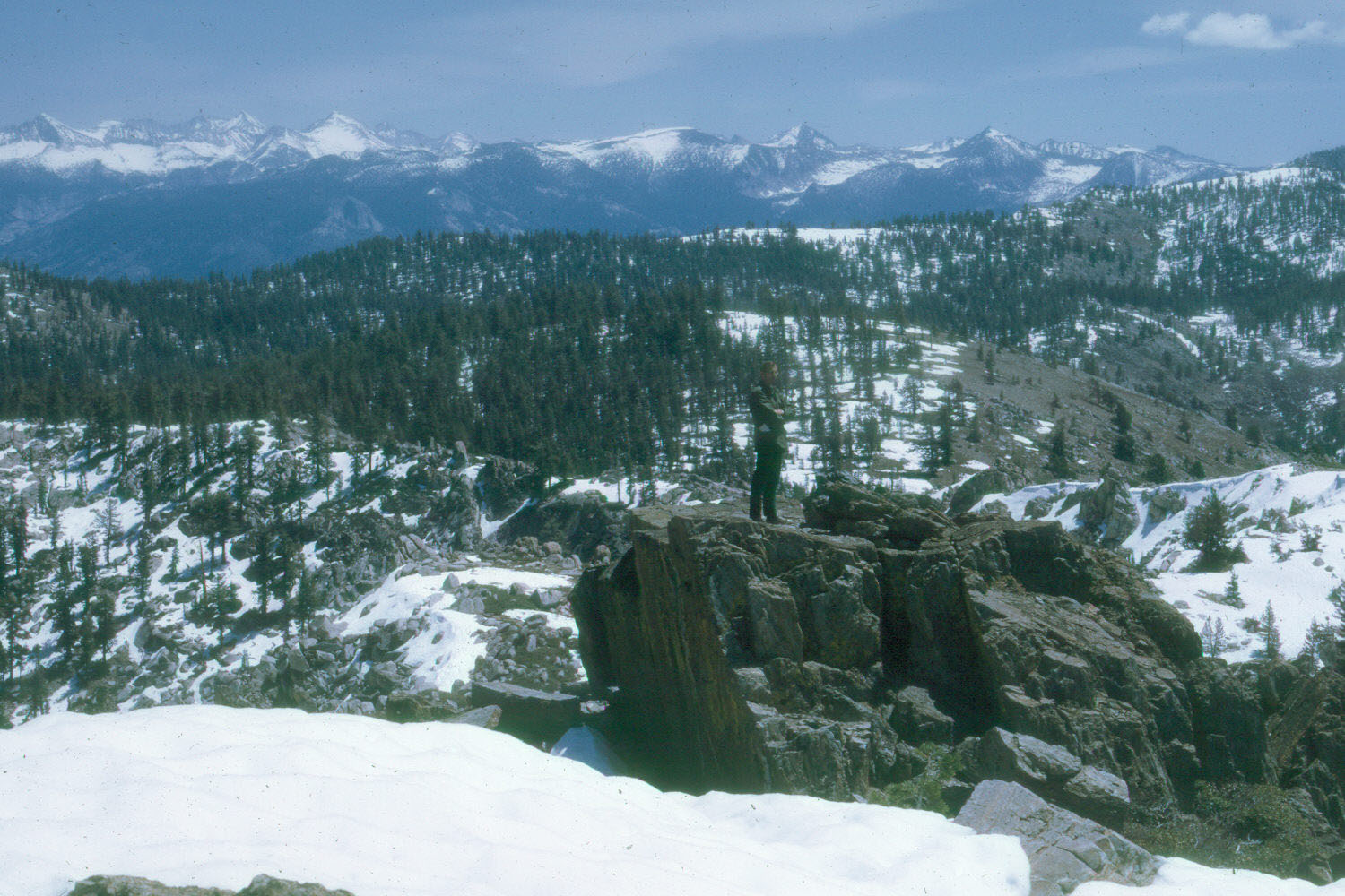
| Another close-up | Hell for Sure Lake & Devil's Punch Bowl from Hell for Sure Pass | Sunset colors over Kings Canyon |
 |
 |
 |
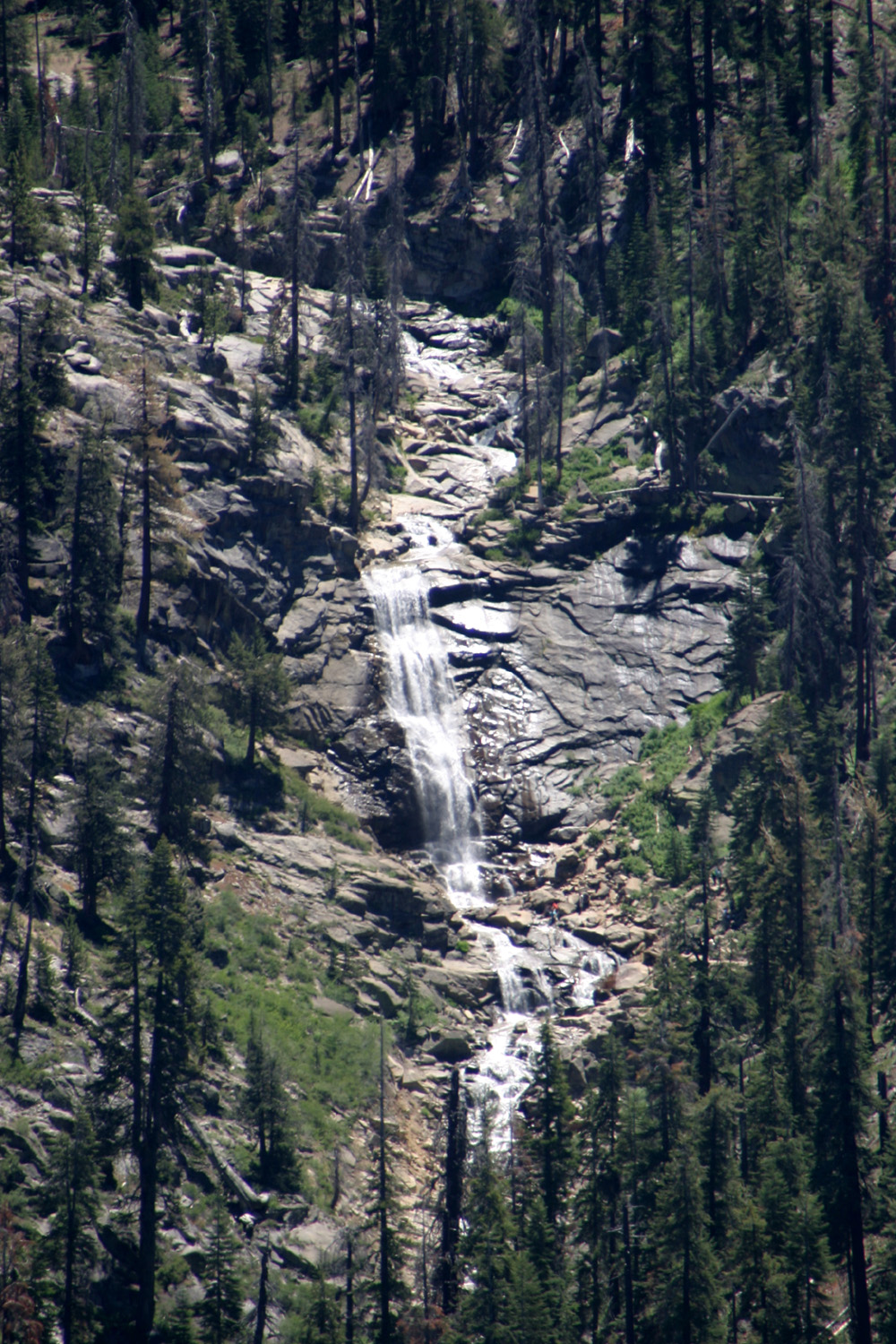
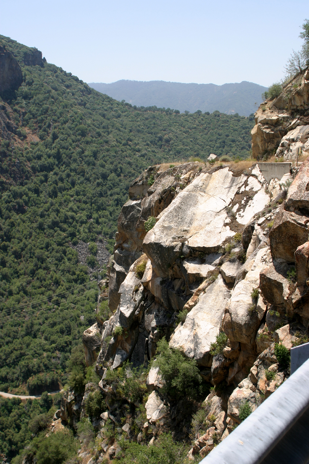
| Cabin in Statum Meadow | Road from Balch Camp to Black Rock Reservoir, North Fork, Kings River | Waterfall by the road above Black Rock |
 |
 |
 |
|
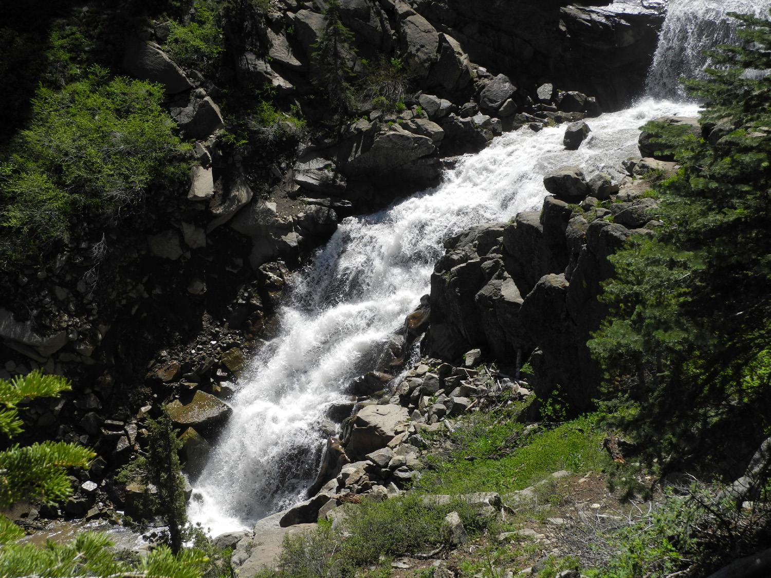
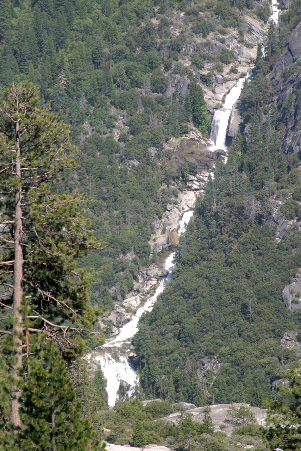
Falls on Rancheria Creek, North Fork canyon |
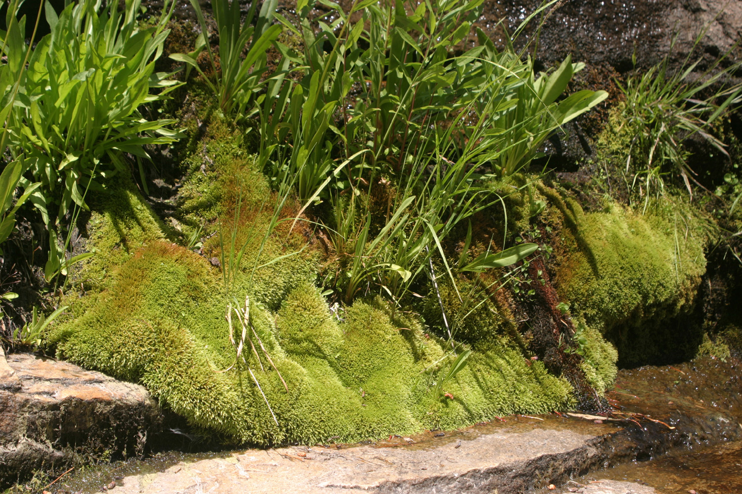
Mini water fall on Rock Creek | Intense shades of green by Rock Creek |
 |
 |
 |
| Natural landscaping near Stargazer Rock (Bald Mountain Base Camp) | View along the route to Neely Dome above Rock Creek | Rock Creek, 2011 |
 |
 |
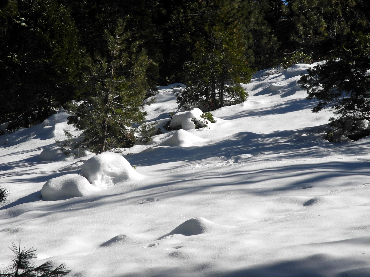 |
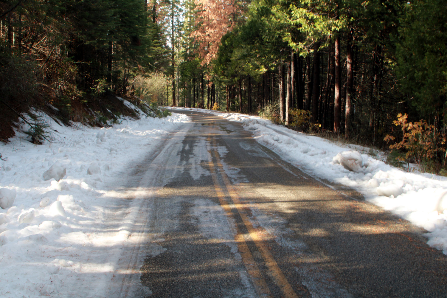
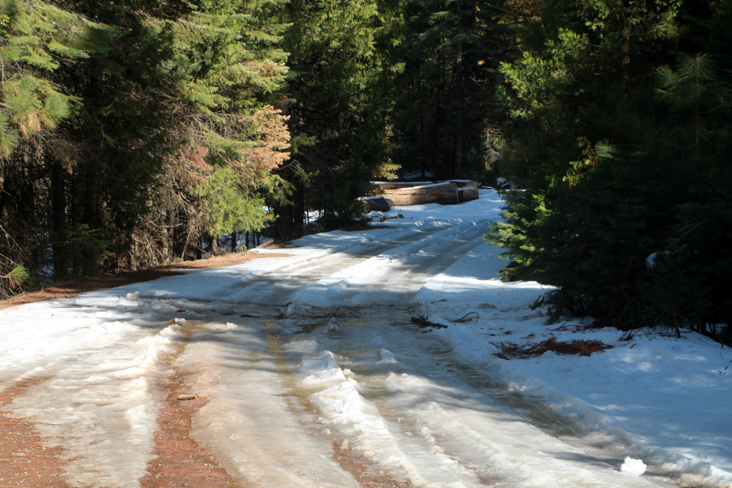
| Split rock near Bald Mountain | Bald Mountain from Dinkey Creek Road | Snow along the Dinkey Creek Road December 2014 |
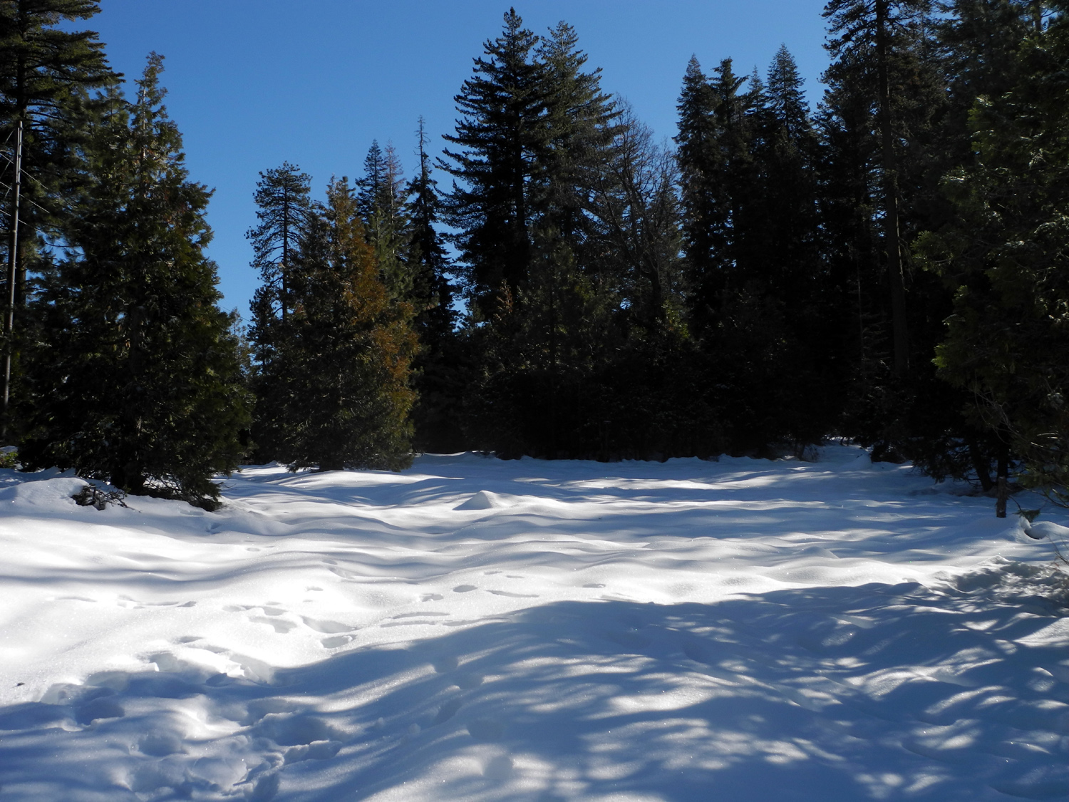 |
 |
 |
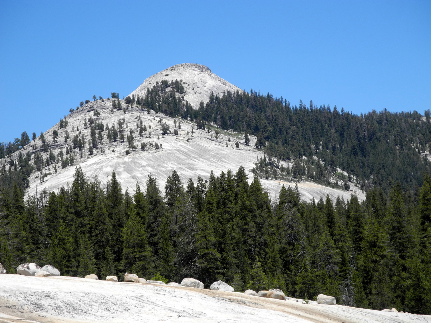
| More snow | Shaded tree keeps its snow blanket after the storm is over | Constant Dome, near Courtright Reservoir |
 |
||
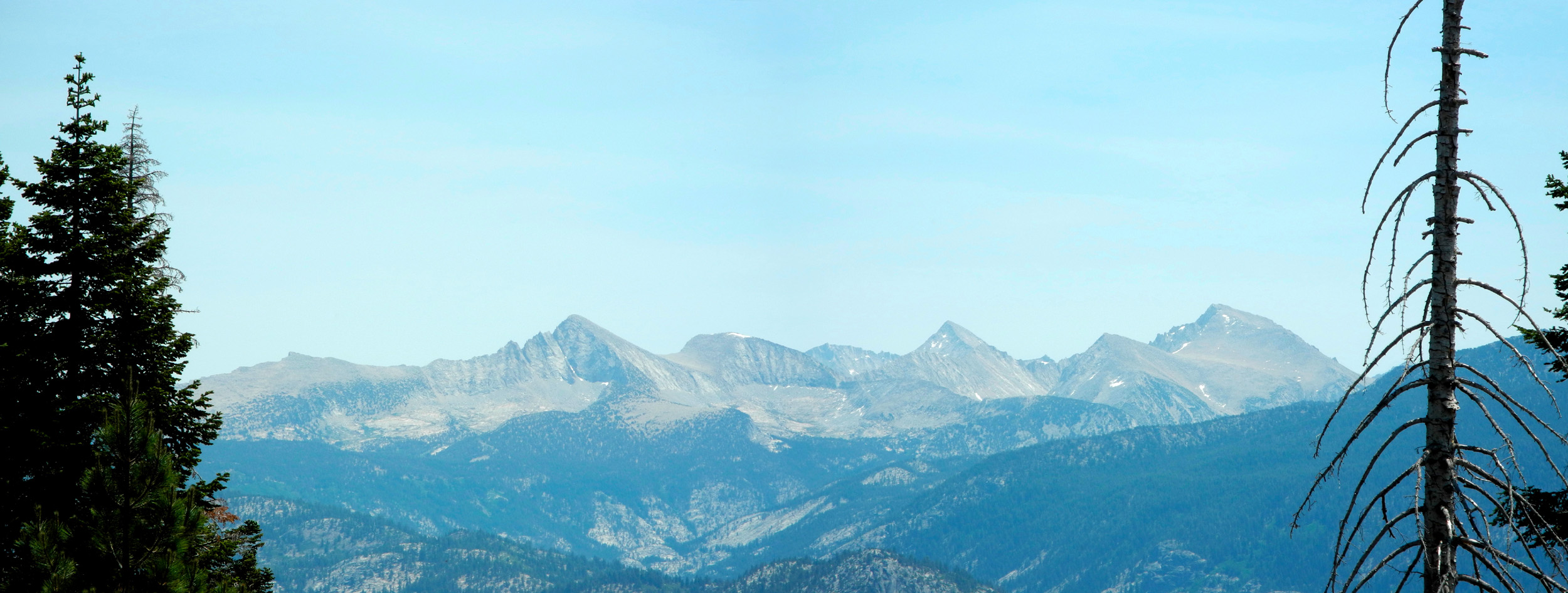
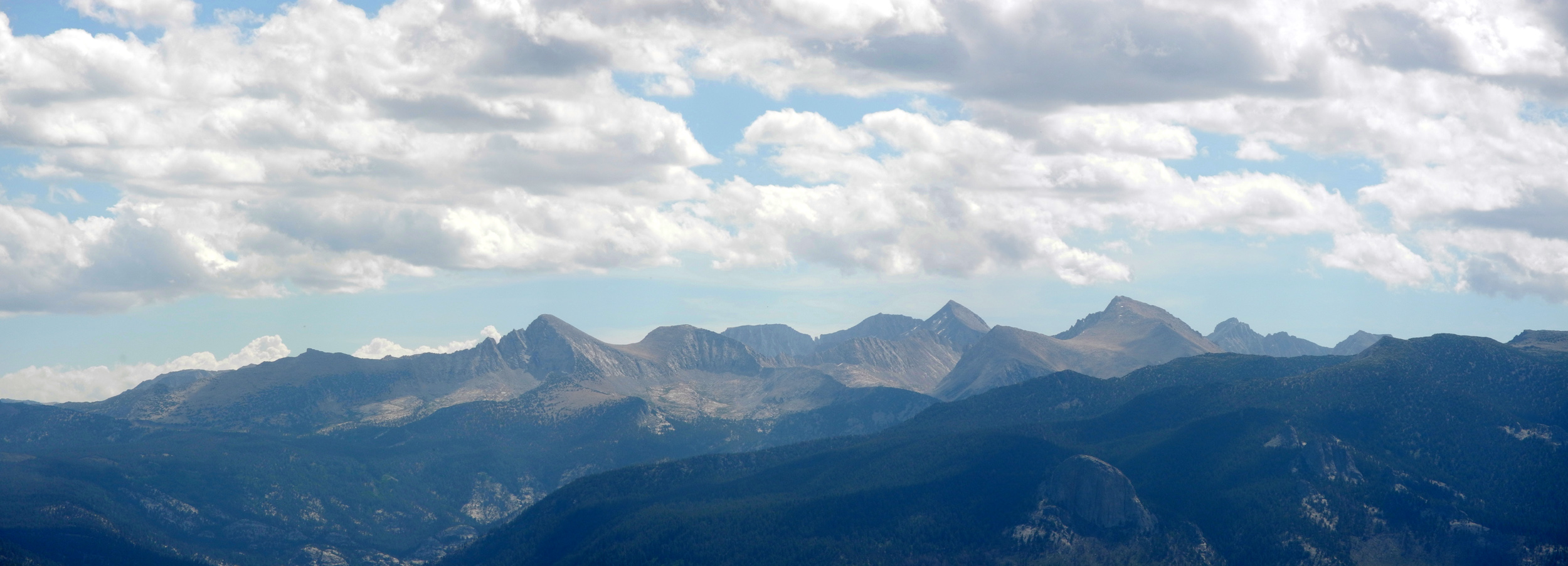
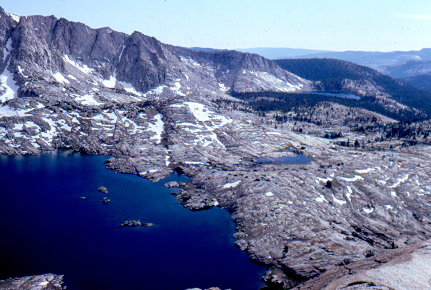
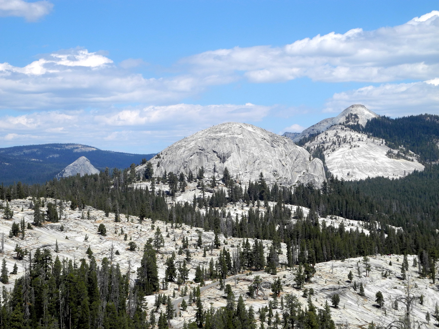
| The LeConte Divide, separating the San Joaquin and Kings River drainages | ||
 |
||
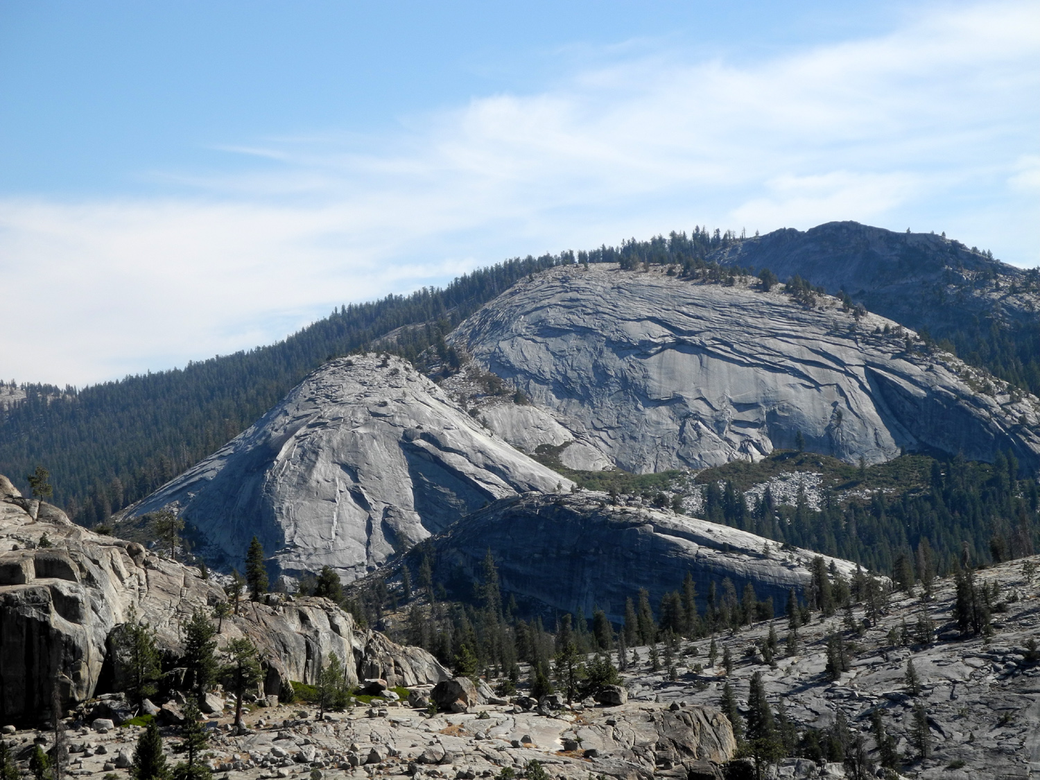
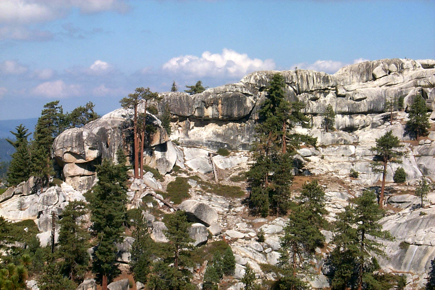
| Courtright Reservoir, land of many domes | ||
 |
 |
 |
| Helms Creek Canyon | Courtright Reservoir | Domes to the east of the lake |
 |
 |
 |
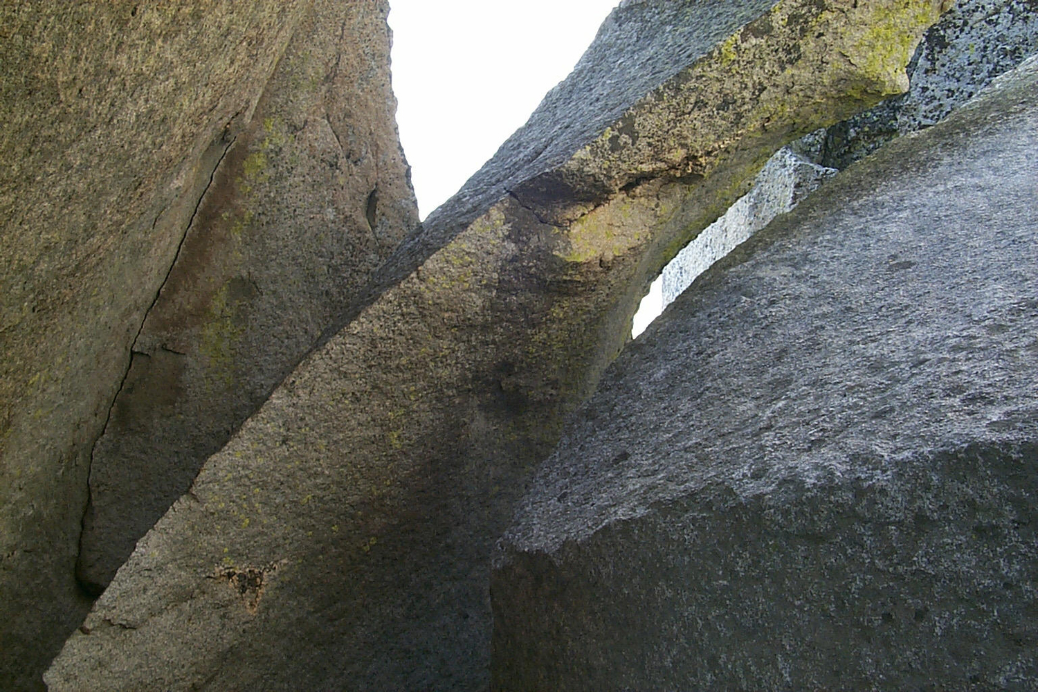
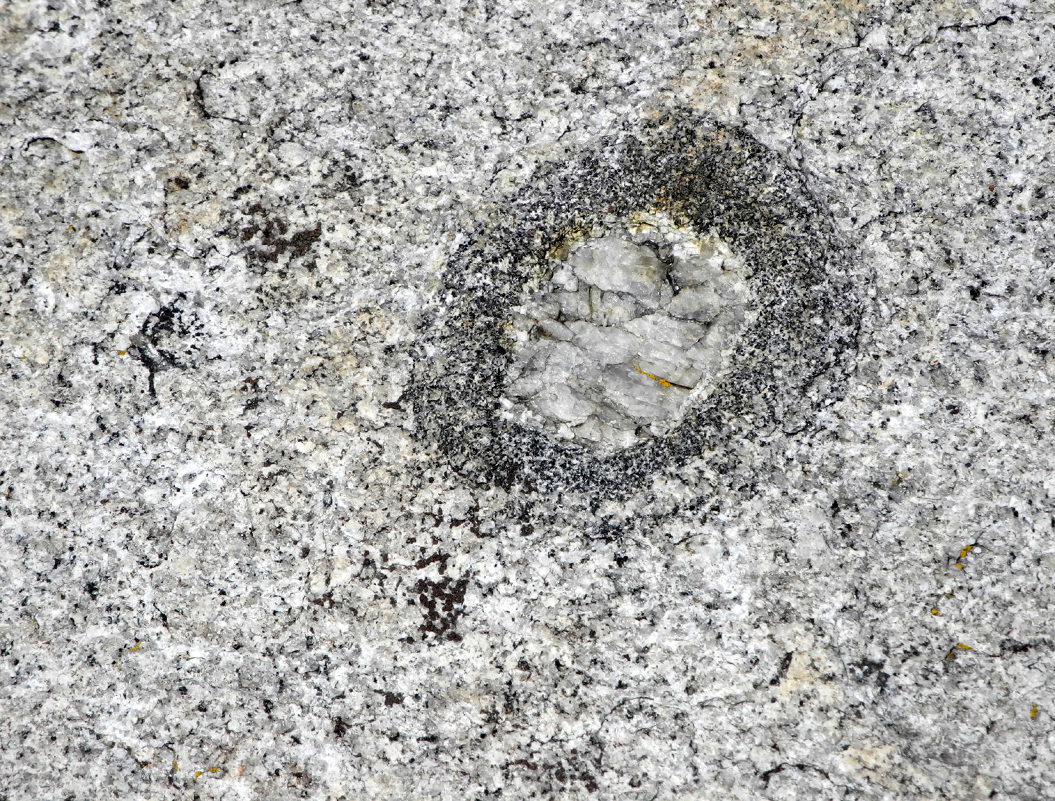
| Giant granite slab on Dusy-Ershim Trail near Courtright Reservoir | Dark rock intrusion with a slight "flaw" | Above Courtright Dam |
 |
 |
 |
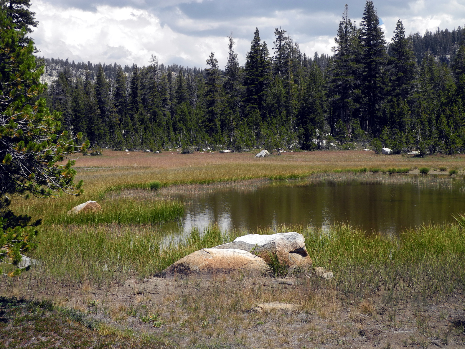
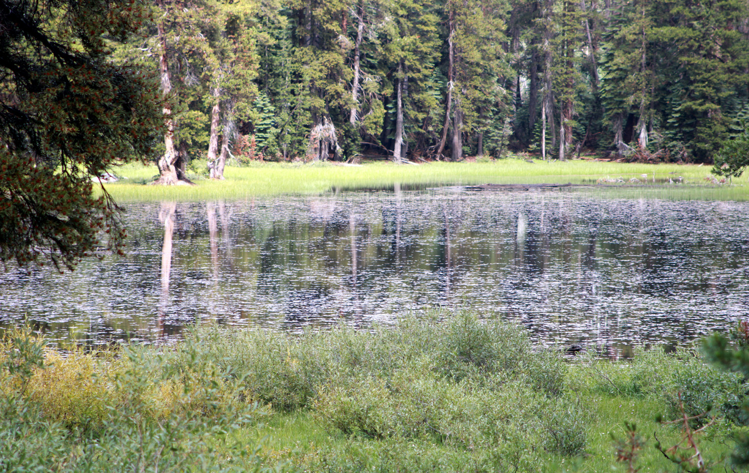
| Mystery Lake, Dinkey Lakes Wilderness |
Meadow with small pond adjacent to the lake |
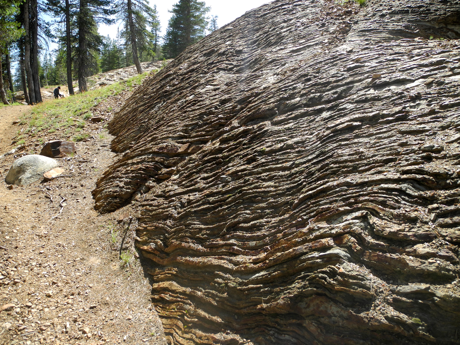
Wrinkled rocks near the Dinkey Lakes trailhead |
 |
 |
 |
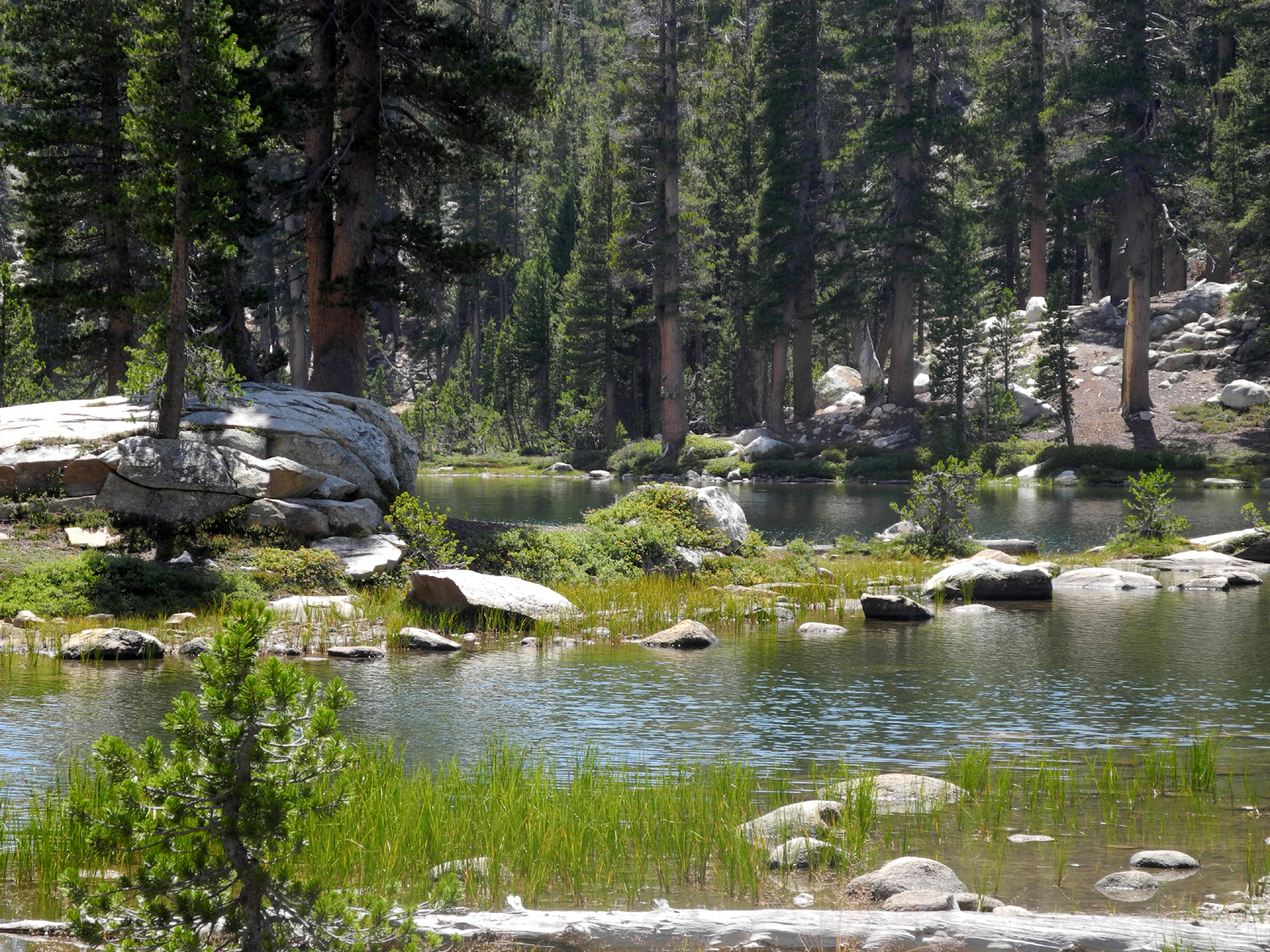
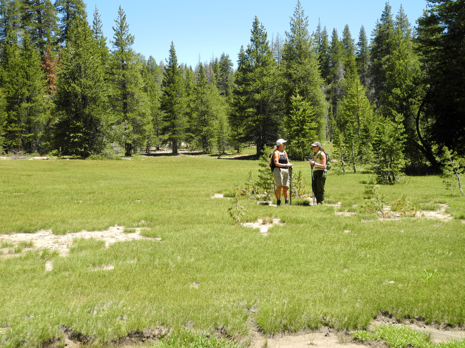
| Another look at Mystery Lake | Meadow on the trail from Courtright Reservoir | Dome between trail and lake rises above glacial erratics |
 |
 |
 |
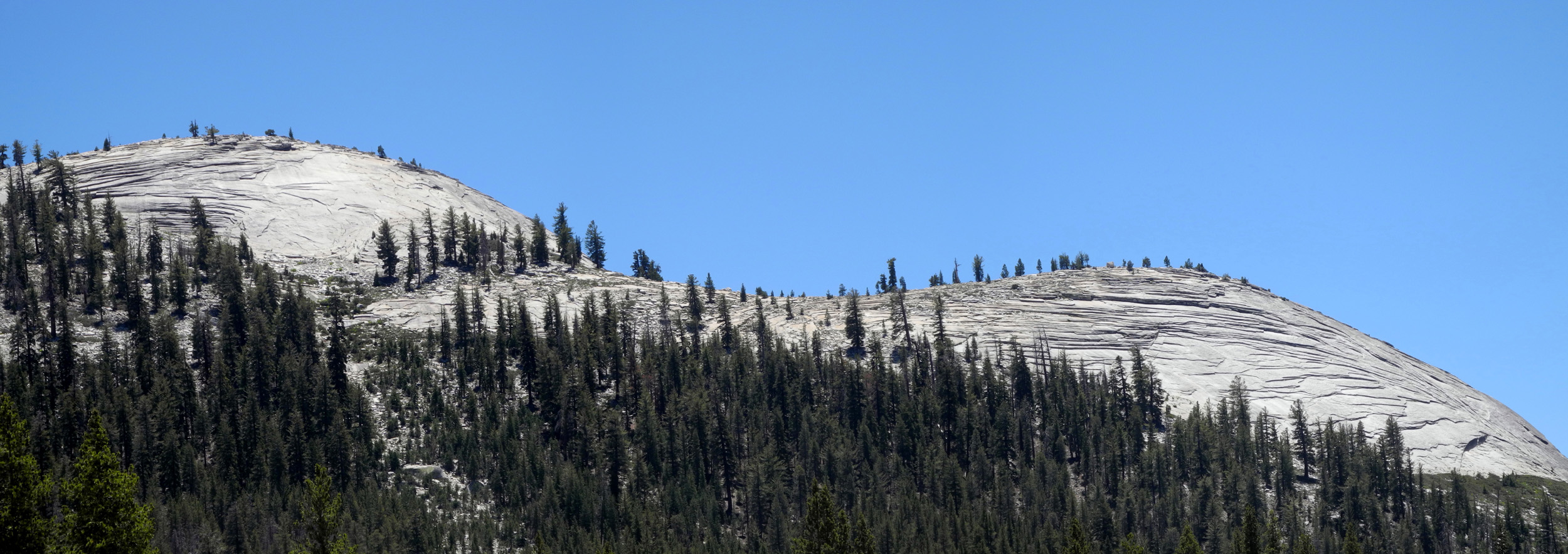
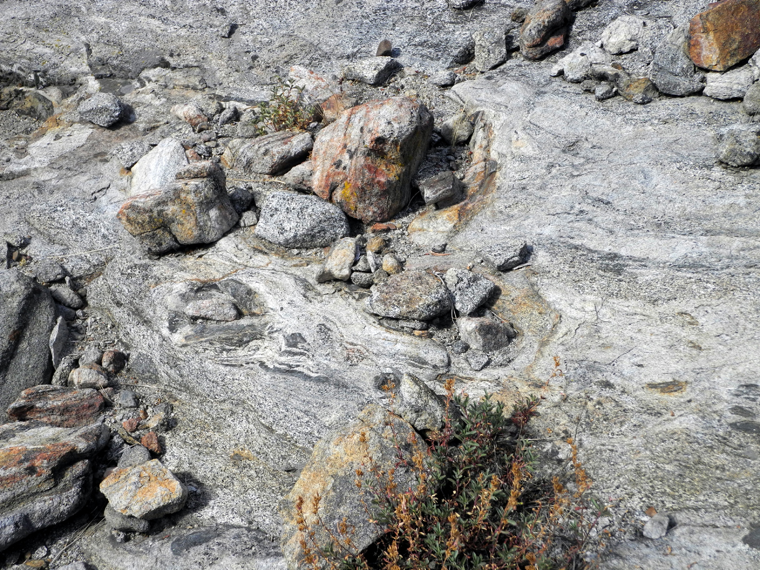
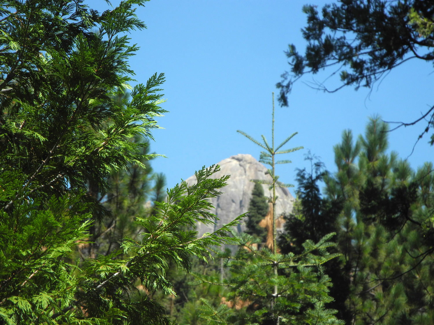
| Maxson Dome north of the lake | Older rock embedded in the granite at the Courtright geological exhibit area |
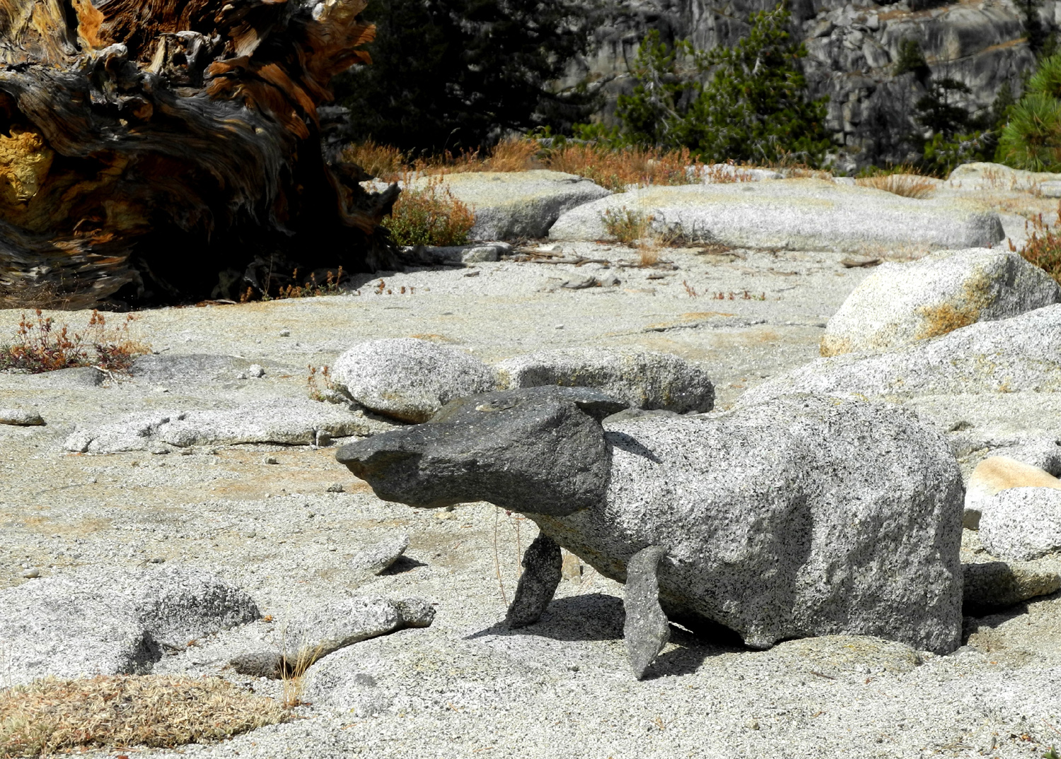
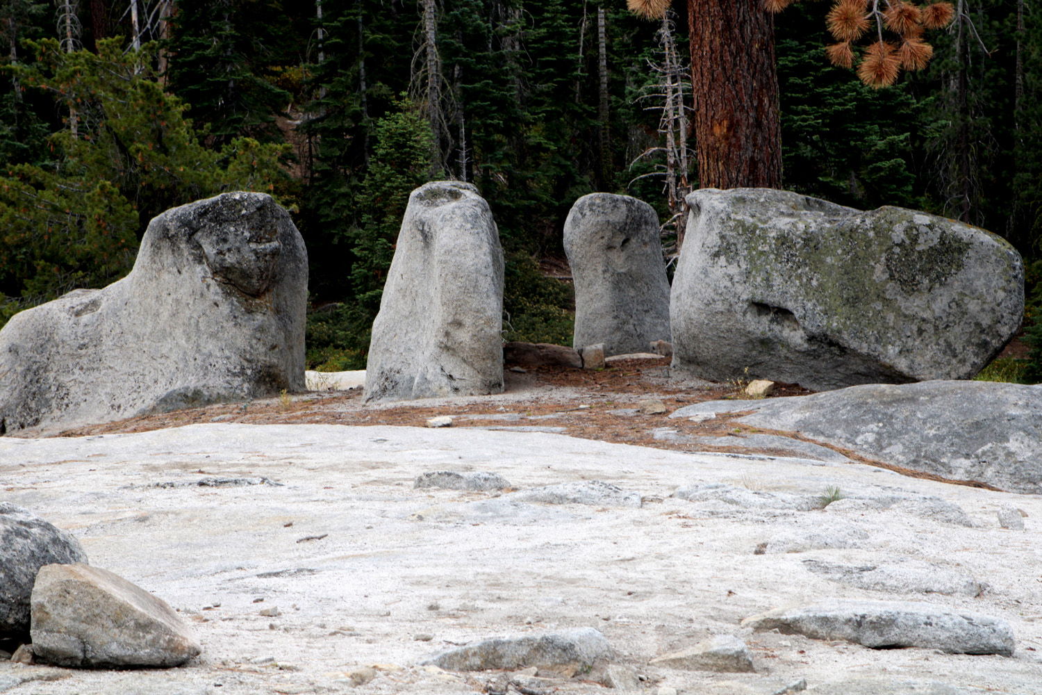
An amazing natural sculpture - only the feet were added by humans |
 |
||
| Double domes east of Maxson Trailhead | ||
 |
||
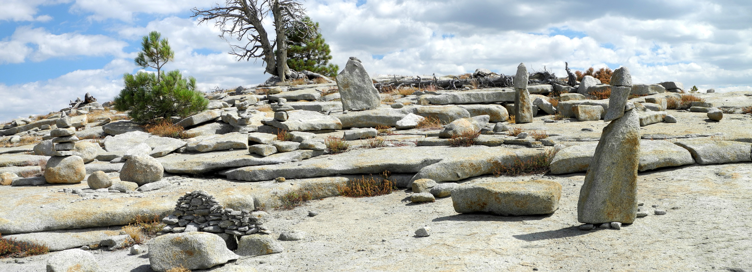
| Where people have rearranged nature | ||
 |
 |
 |
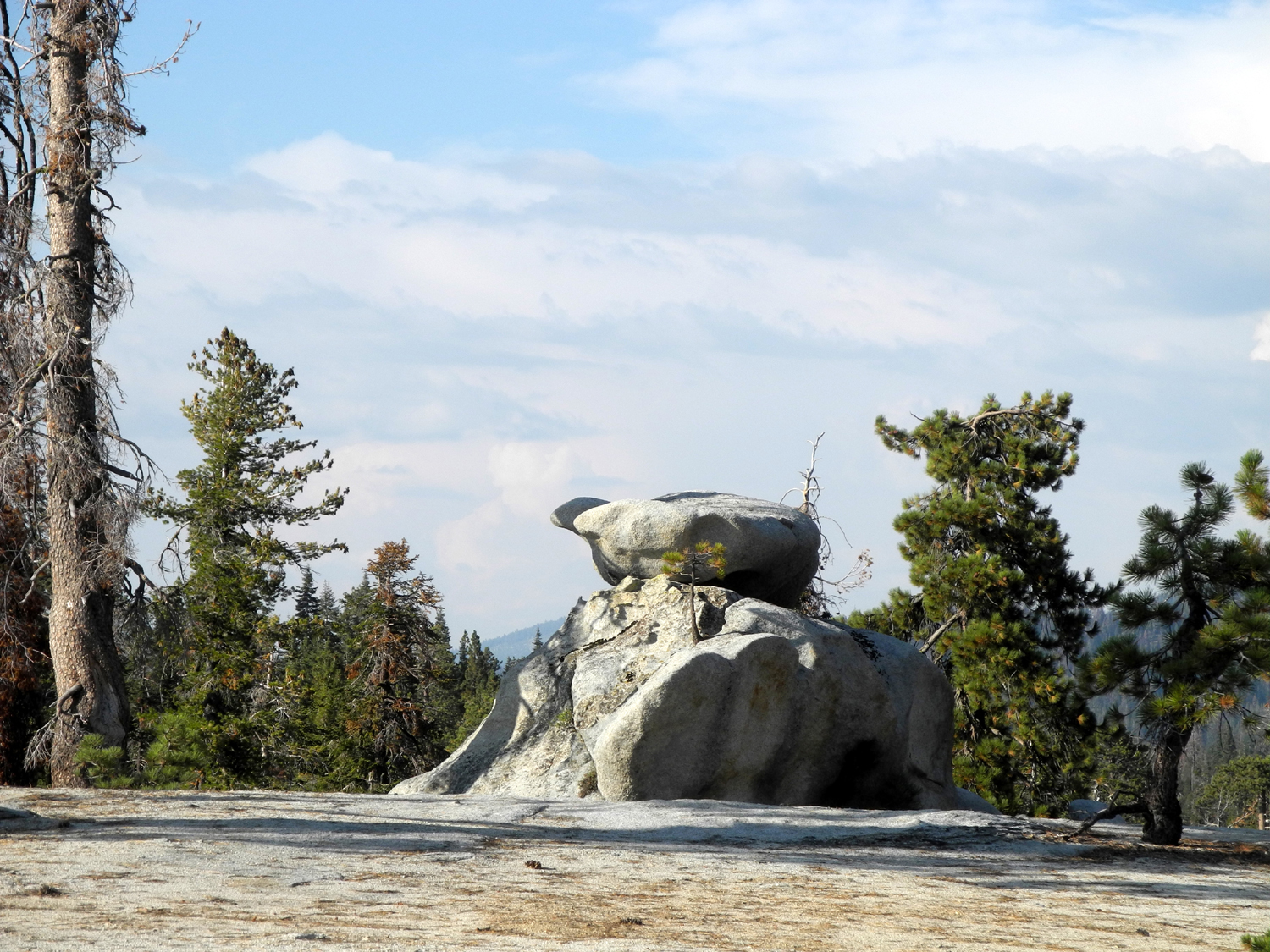
| Sunrise on Sandy's Dome at Courtright | This jagged boulder must have fallen from the dome above |
Failing to climb this feature, I named it Hopeless Dome |
 |
 |
 |
| This rock pile on the way up Hopeless Dome proved too much for me |
Double Dome with Hopeless Dome in front |
Double Dome from the north |
 |
 |
 |
| More boulders along the Dusy-Ershim Trail near Courtright | Layered rock cliffs above the road to the Dusy-Ershim Trailhead | A few of the domes above Courtright Reservoir |
 |
 |
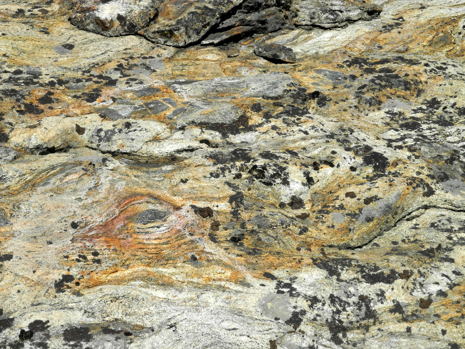 |
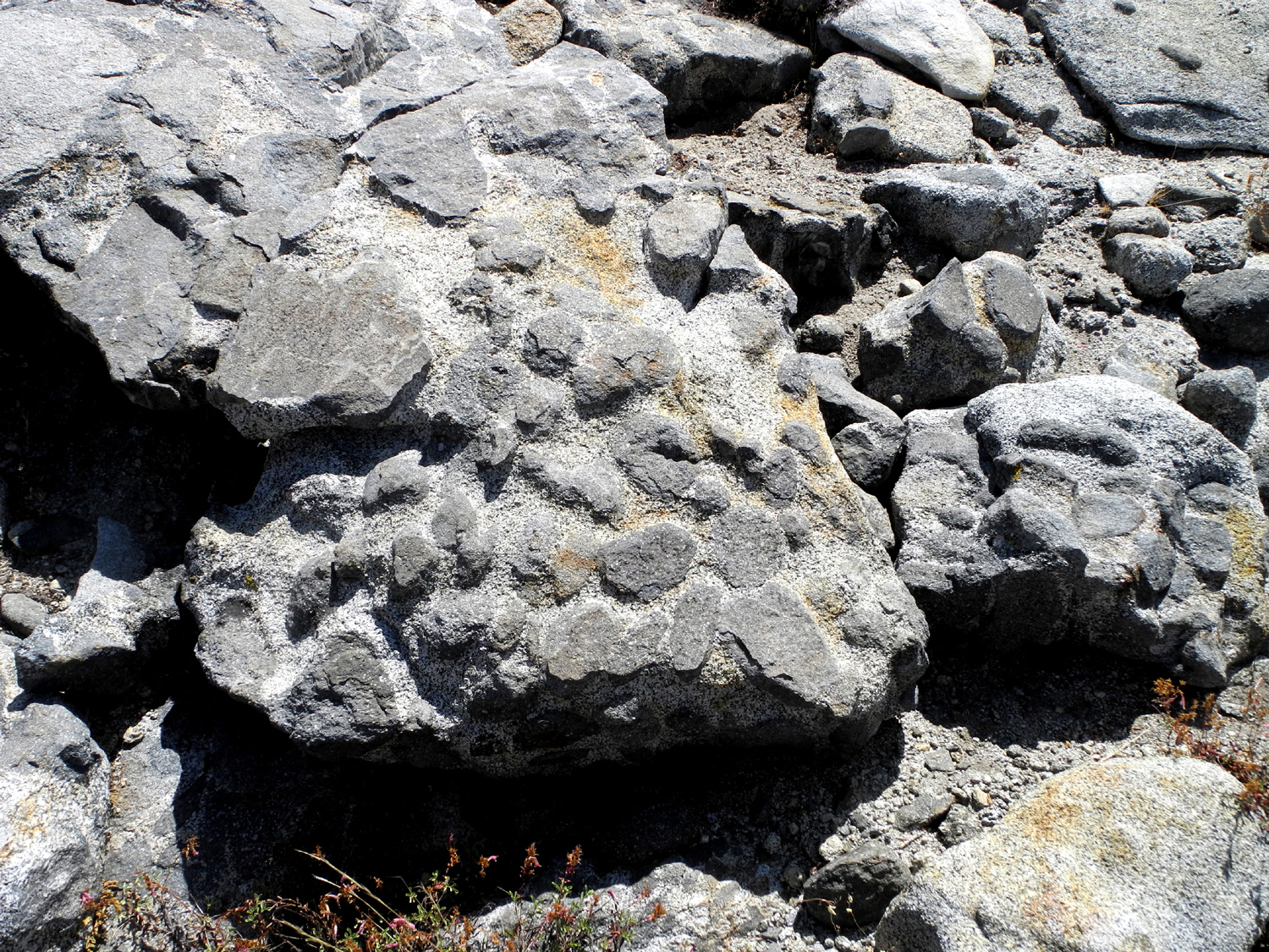
| Colorful twisted rock above Bear Creek off McKinley Grove Road | ||
 |
 |
 |
| Bear Creek, off the McKinley Grove Road | Glacial polish shines in the sun on granite slope near Courtright | Late summer near Courtright |
 |
 |
 |
|
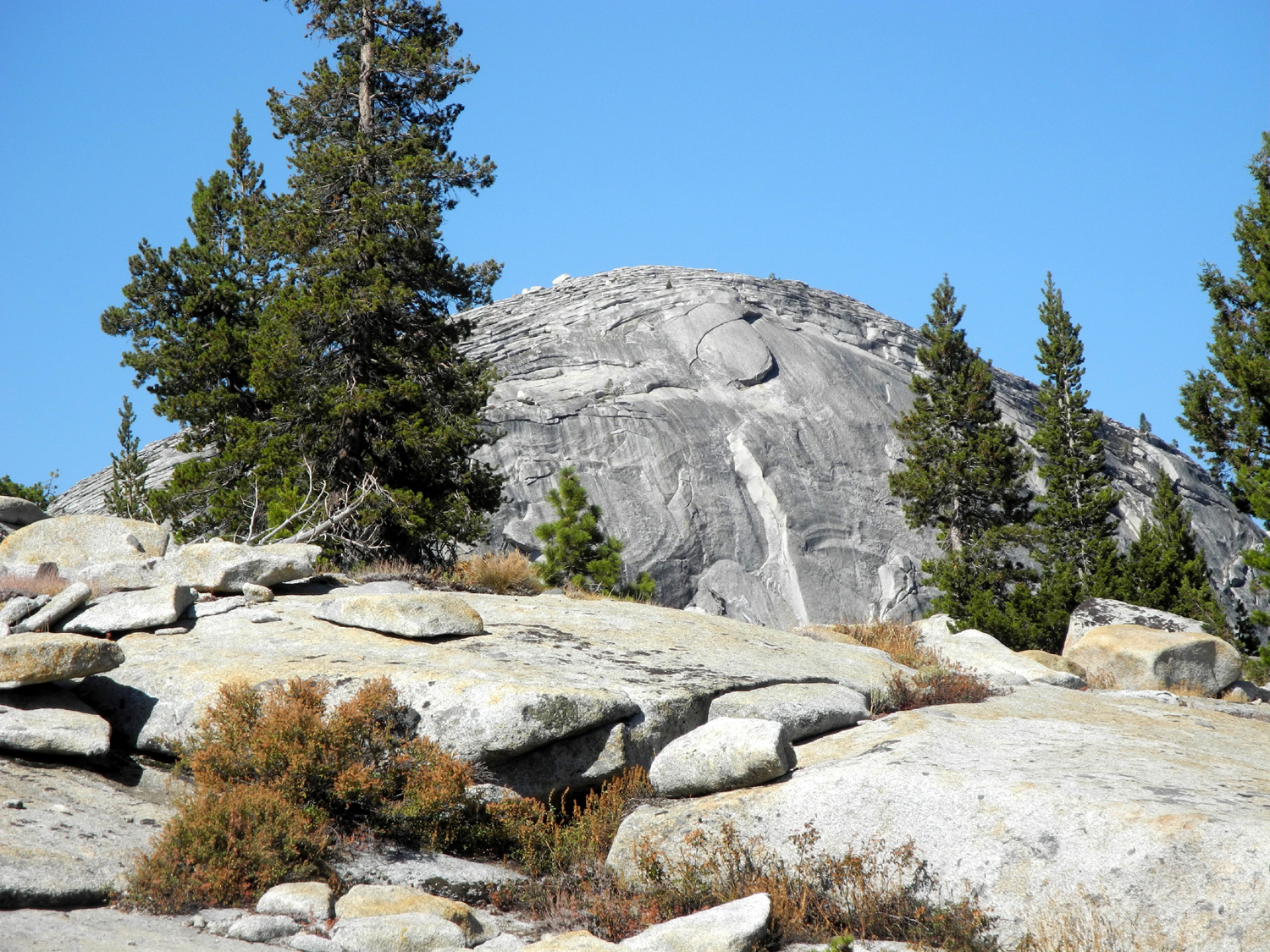
Juniper
and domes east of |
All the dirt roads and back roads near Dinkey Creek | Rock
formation by Road 9S02, south of Rock Creek Road |
 |
 |
 |
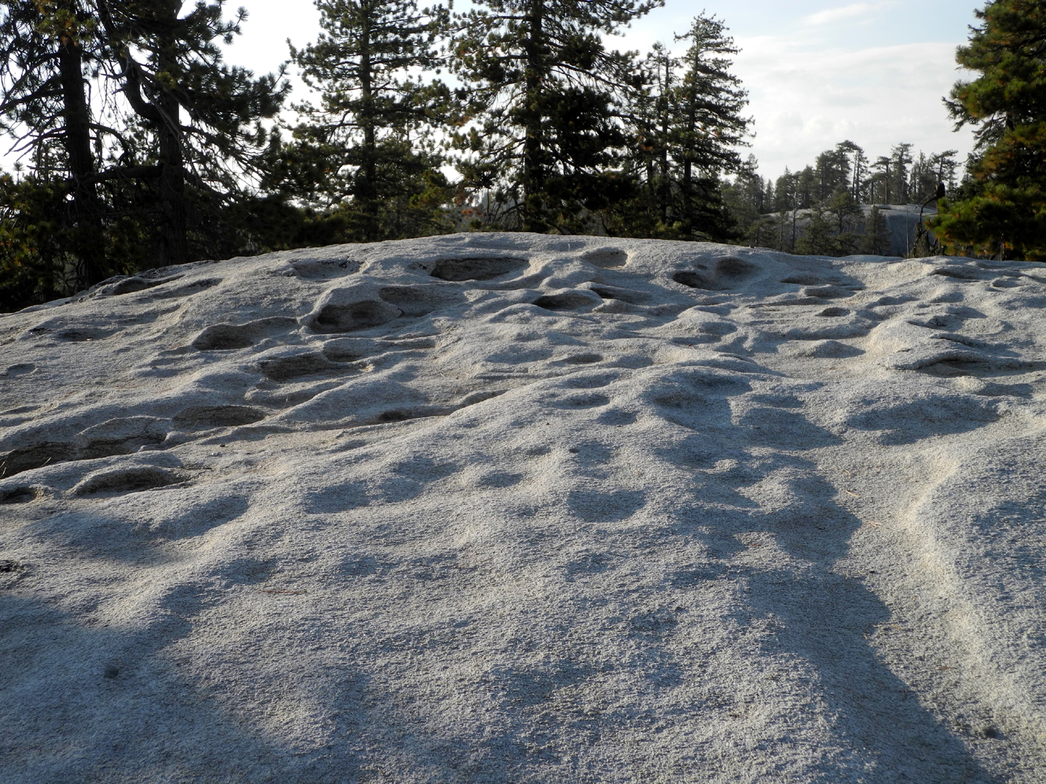
| Potholes in rock by Road 9S02 | Rock formation near Road 9S02 | Rock
ridge topped by a series of rounded boulders |
 |
 |
 |
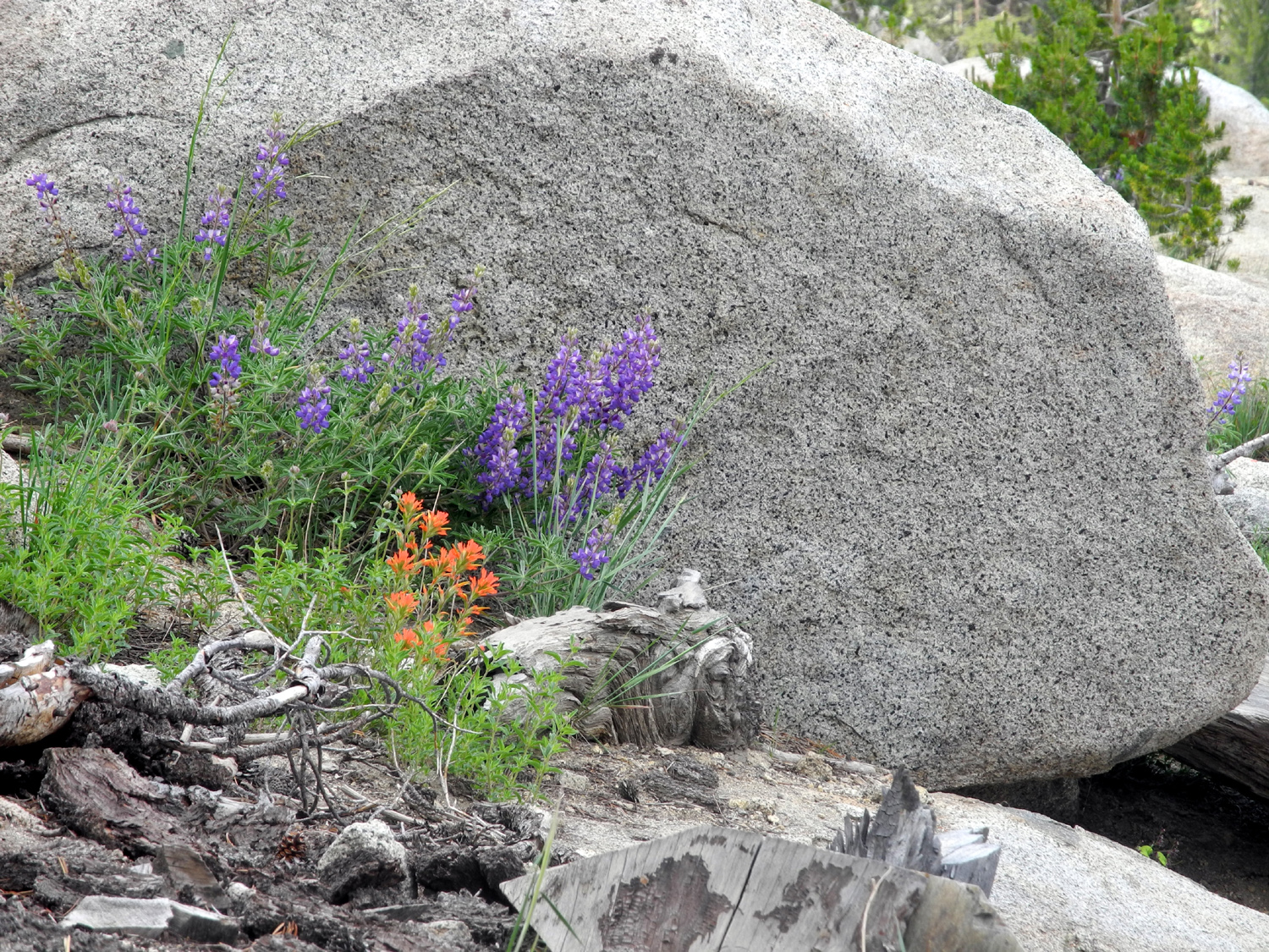
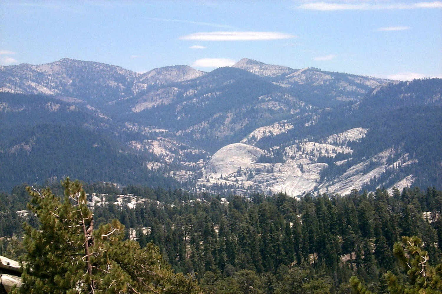
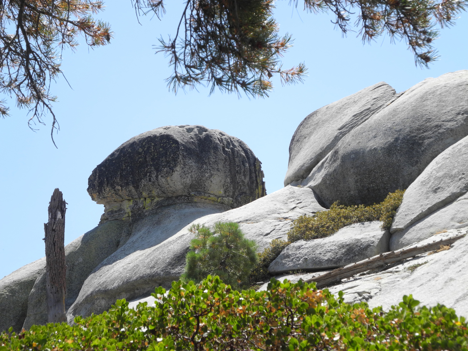
| Light granite with a circle of black granite | Centuries of water running off this big rock have created these grooves | View of Mt. Goddard at left from ridge east of Courtright Reservoir |
 |
 |
 |
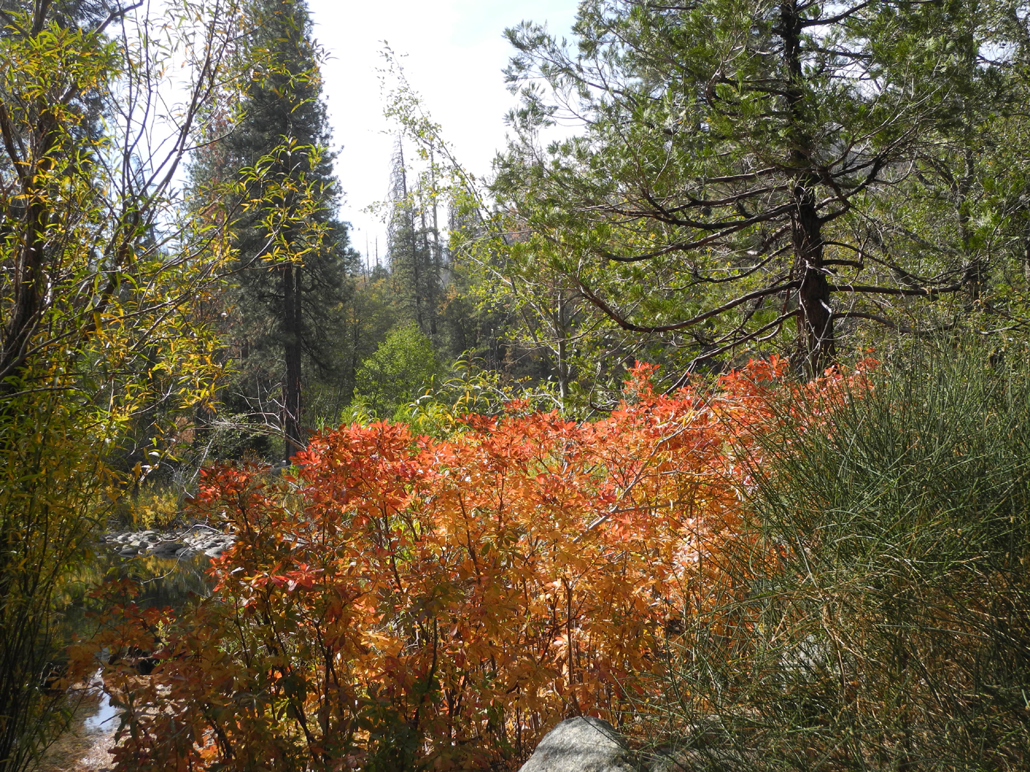
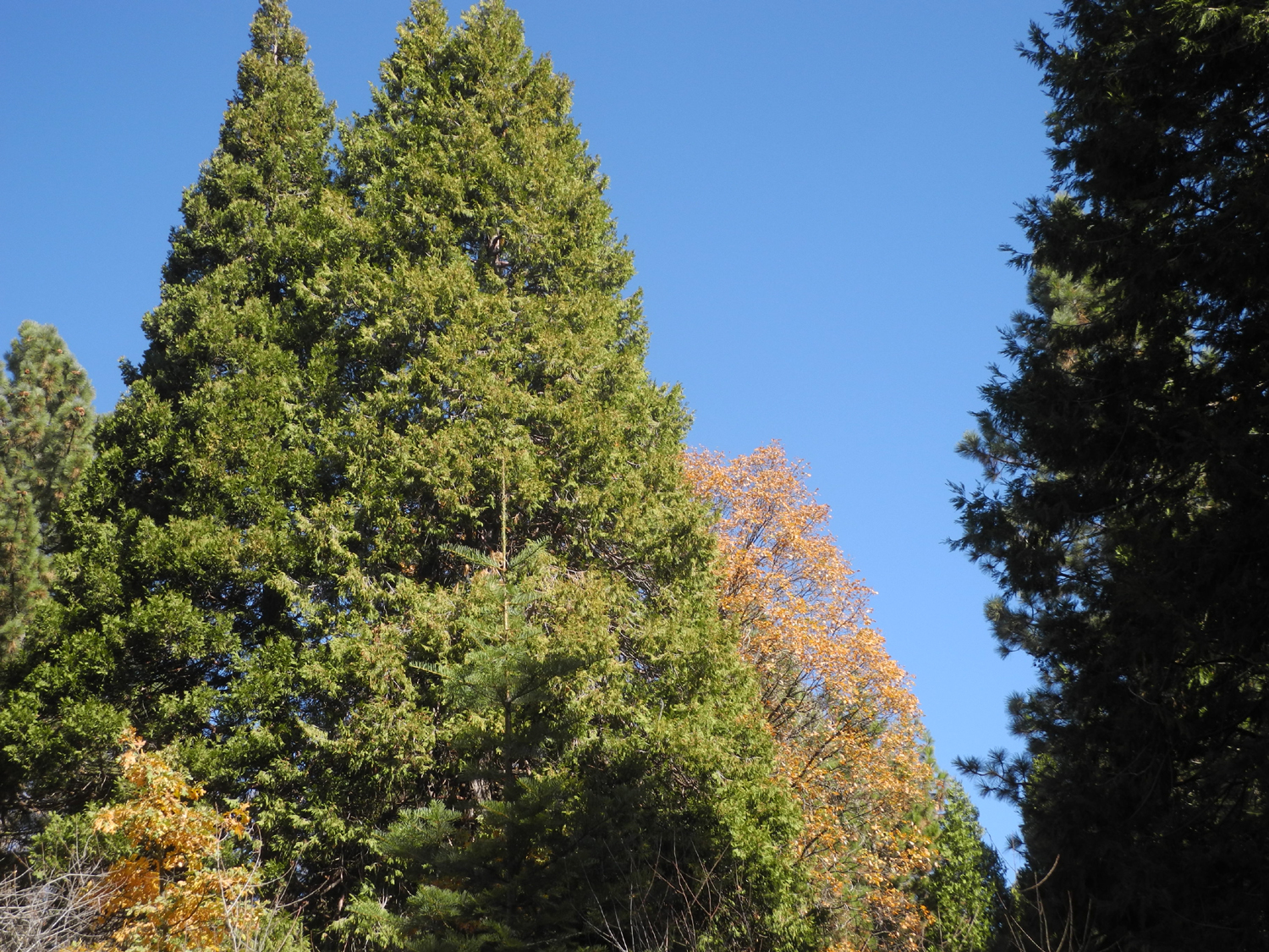
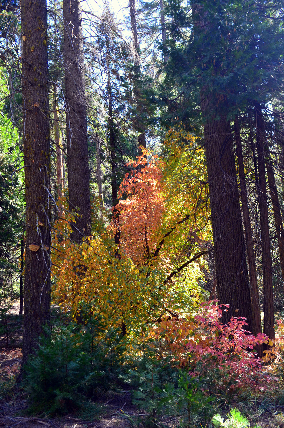
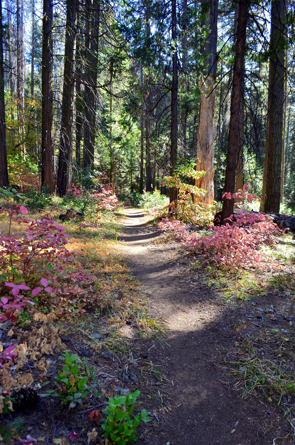
| Dinkey Creek gorge above Ross Crossing | Changing leaves and evergreens | Sun
and storm clouds over the domes of Courtright |
 |
||
| Sunset on the LeConte Divide | ||
 |
 |
 |
| Rocky ridge along the road to Bald Mountain | After a storm at Stargazer Rock | Rock
formation near Bald Mountain Summit on the Dinkey Creek Road |
 |
||
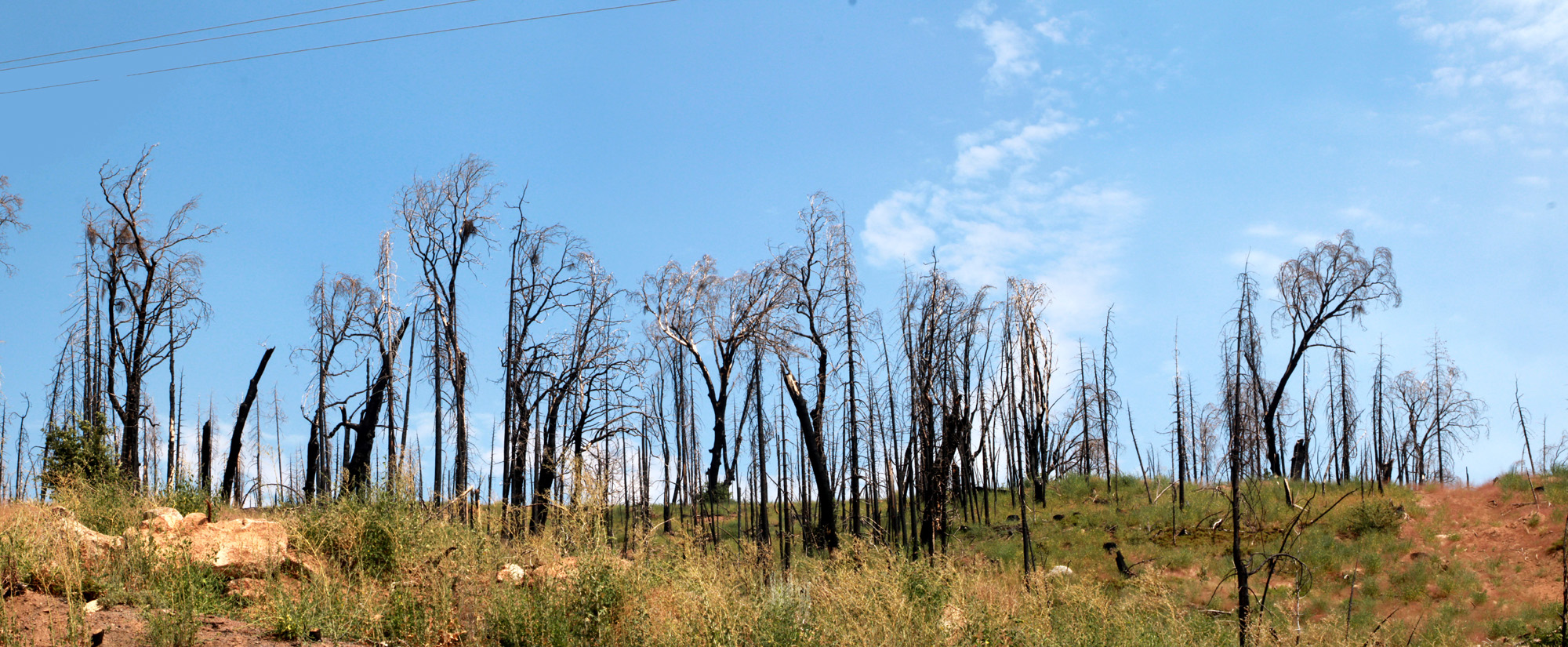
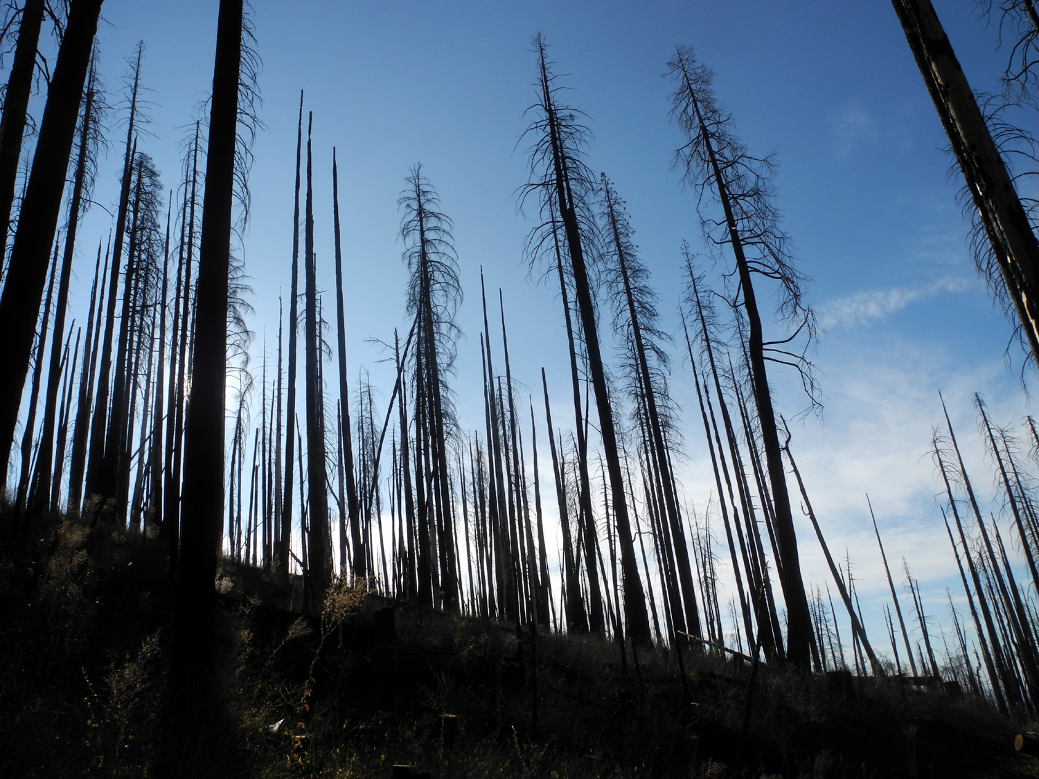
| Ridge above Highway 168 in the Creek Fire burn area | ||
| Fresno & Merced River Drainages | ||
 |
 |
 |
| Fresno Dome from the hiking trail | View from the trail to the top of the dome | Cascade on California Creek in the Nelder Grove Historic Area |
|
|
||
| Panoramic view of the top of Fresno Dome | ||
 |
 |
 |
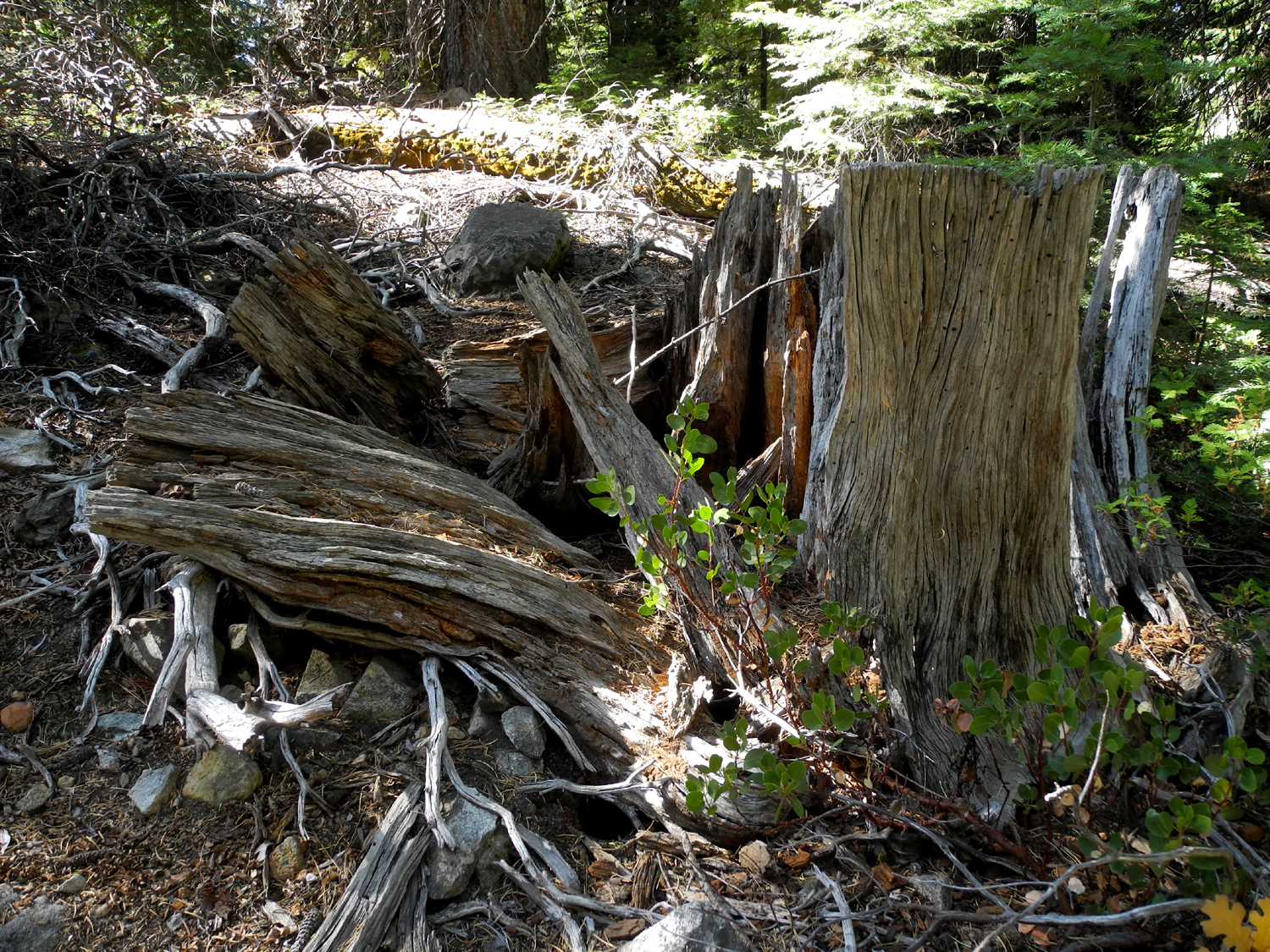
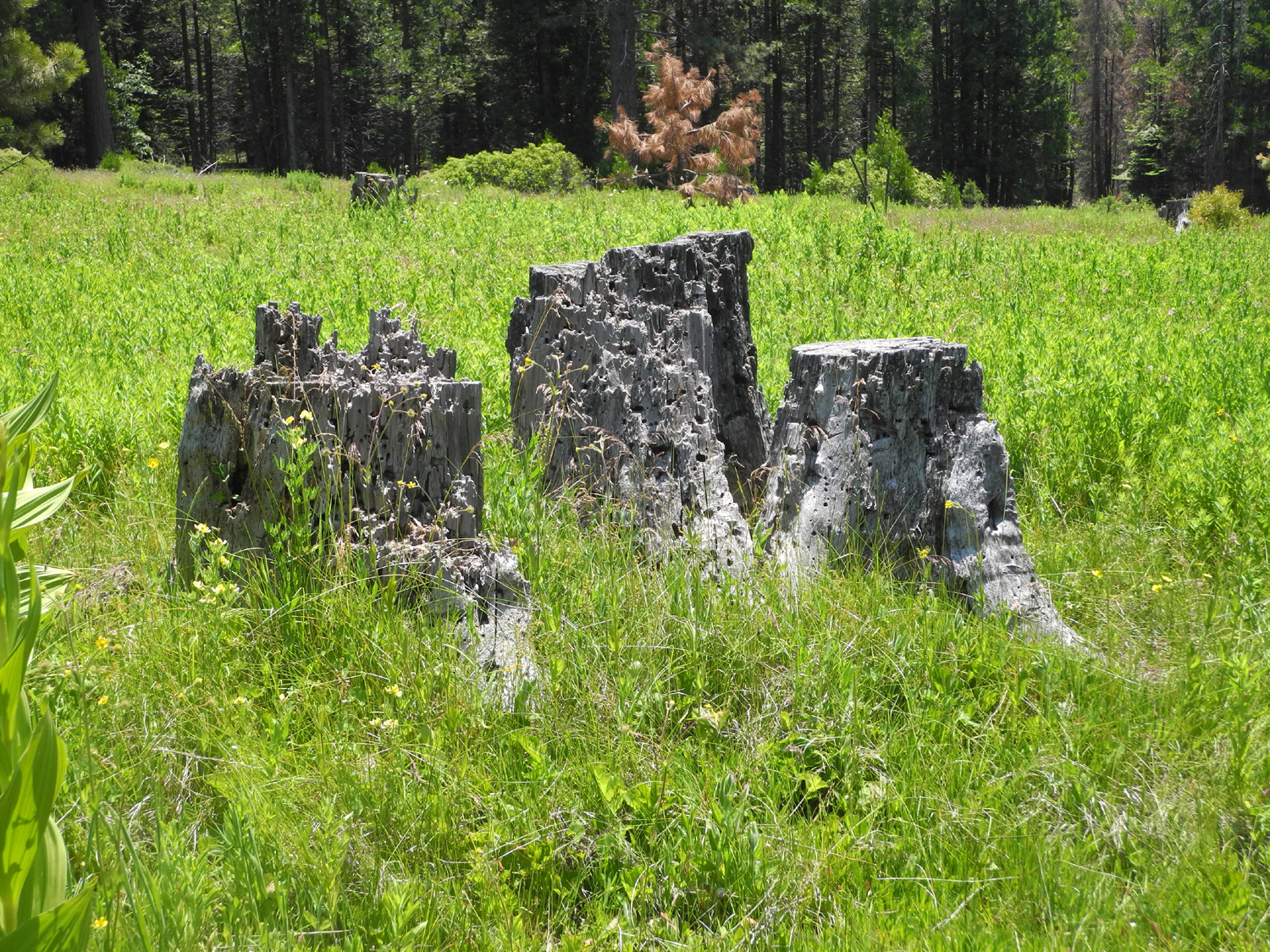
| Forest scene along the road to Buffin Meadow | Ancient stump near Buffin Meadow | Lower end of Buffin Meadow |
 |
 |
 |
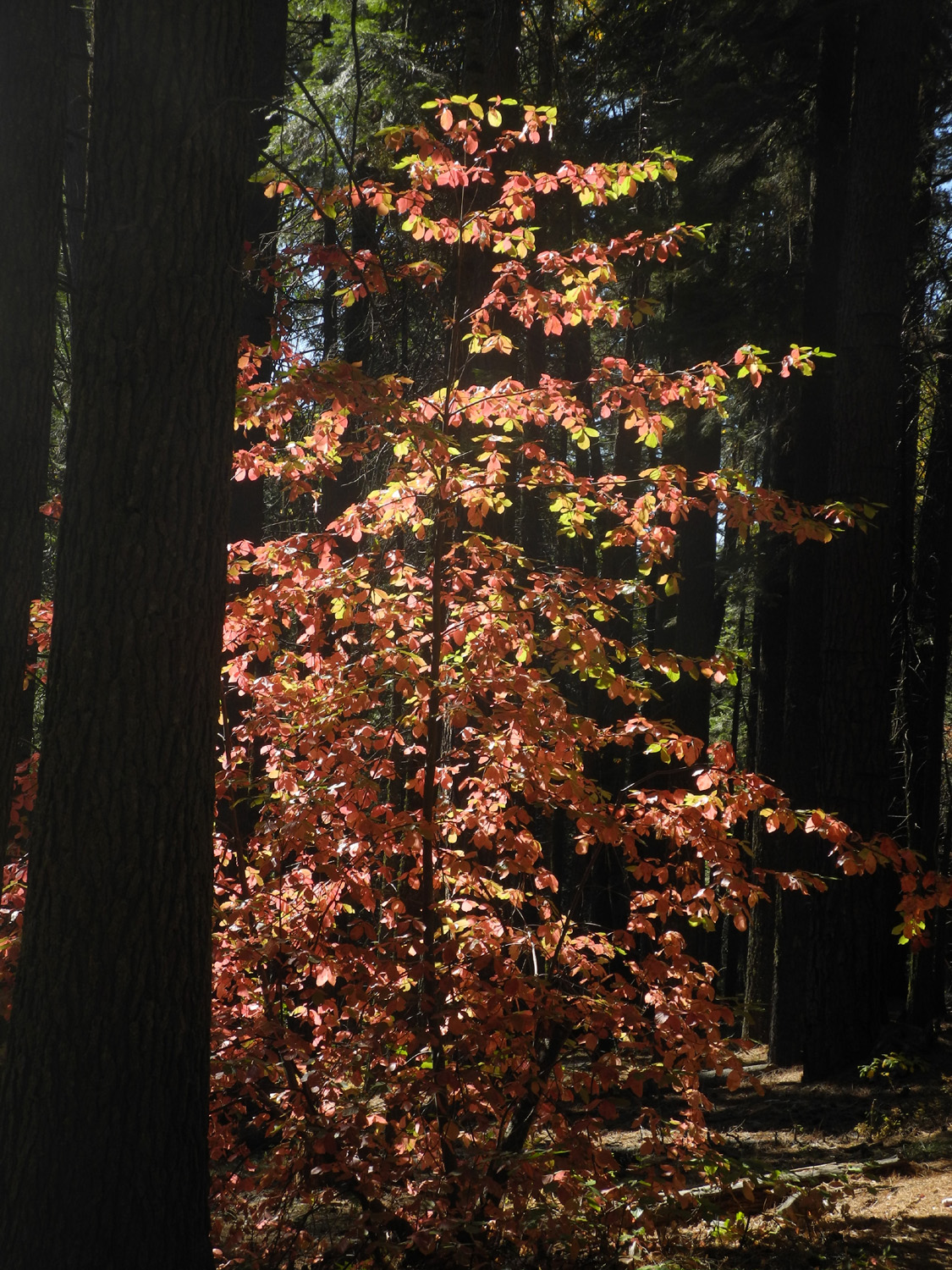
| Fall color in Nelder Grove, featuring dogwood | ||
 |
 |
 |
|
Aftermath of Railroad Fire in Nelder Grove |
Miami
Creek, near Highway 41 in Madera County |
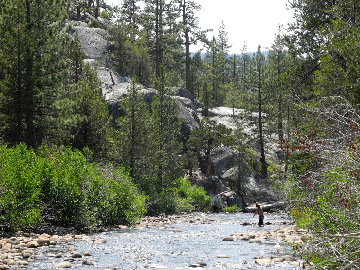
How people cross Lewis Creek |
 |
 |
 |
|
Fresno Dome from the Vista Point along Road 6S10 |
Mossy bank of Chinese Ditch near Fish Camp | Cascade on Rainier Creek near Fish Camp |
 |
 |
 |
| Fresno Dome from the eastern side | Cold Springs Meadow | Hikers at Chilkoot Lake |
 |
 |
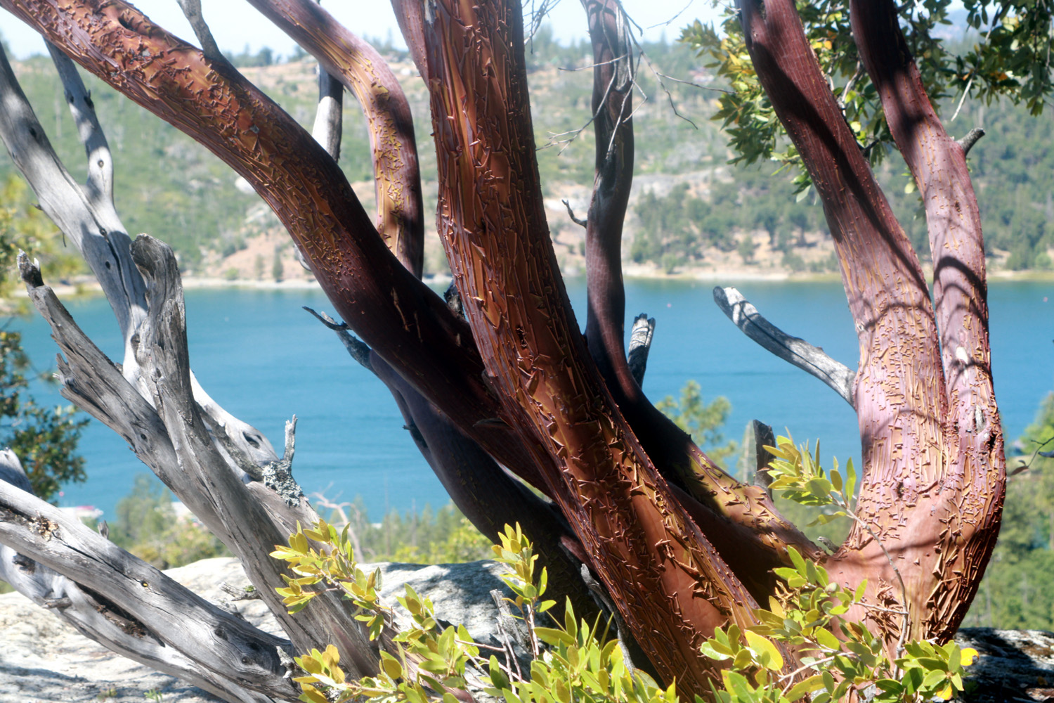 |
| Wawona Dome | Cascade on Lewis Creek | Manzanita and Bass Lake |
 |
 |
 |
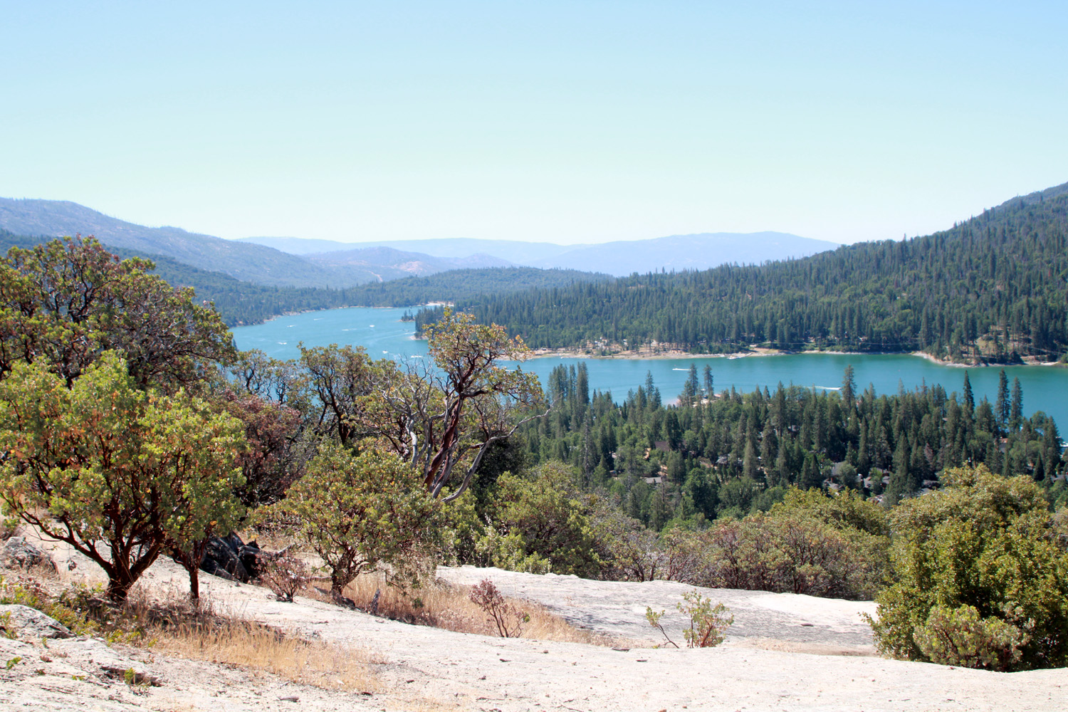
| Bass Lake from Glass Rock | Lake from another angle | Snow
on the Sky Ranch Road above Oakhurst |
 |
 |
 |
| The snowy, muddy road to Nelder Grove | Sky Lake, a small pond on Sky Ranch Road | Rock formation on Sky Ranch Road |
 |
 |
 |
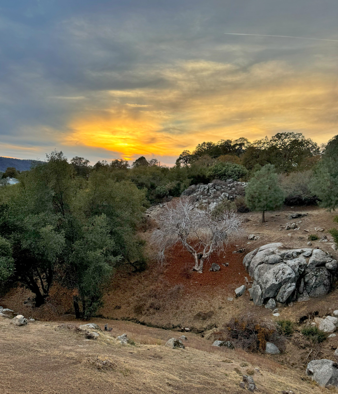
| Sunset near Road 620 |
Ancient stump in Buffin Meadow near Fish Camp |
Ditch carrying water diverted from Big Creek near Big Sandy Road |


