|
Dick's Sierra Foothills & San Joaquin Valley Pictures |
||
| Links to More Photos Central Sierra Foothills Slide Show | ||
| New photos here March 15, here March 29, here April 2 and here April 26, 2026 (captions in red) | ||
| Click the picture for a larger view - photos open in a new window | ||
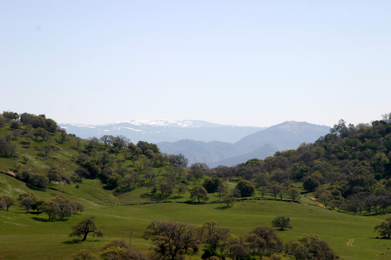
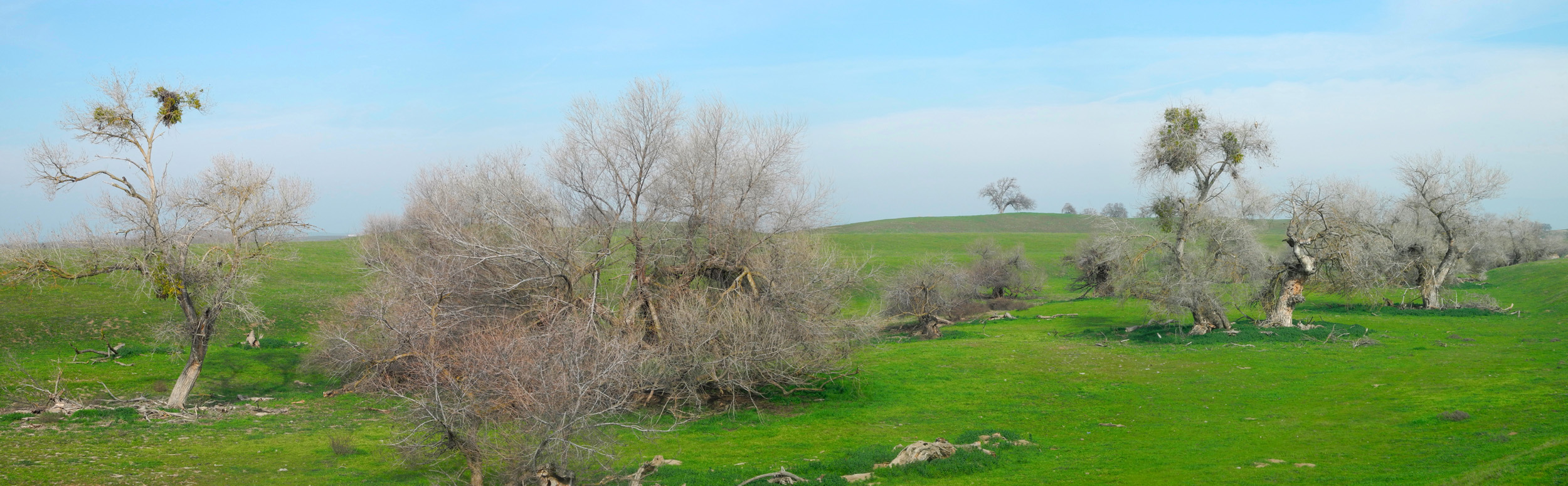
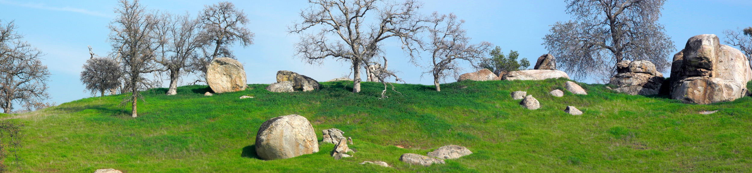
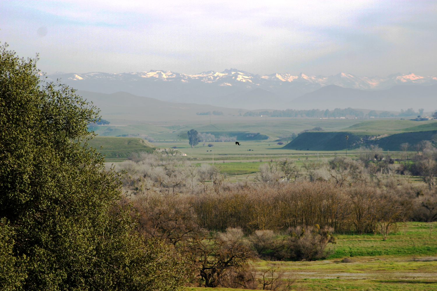
| The San Joaquin Valley covers 10,000 square miles of Central California, from Bakersfield in Kern County north to the Stockton Delta. To the east along this huge tract of land lies the Sierra Nevada. This photo album includes photos from the valley and Sierra foothills. These photos were formerly in my Central California album, which has been split into this page, Mother Lode Country, the Pacific Coast & Coast Ranges and Death Valley....... | ||
|
 |
 |
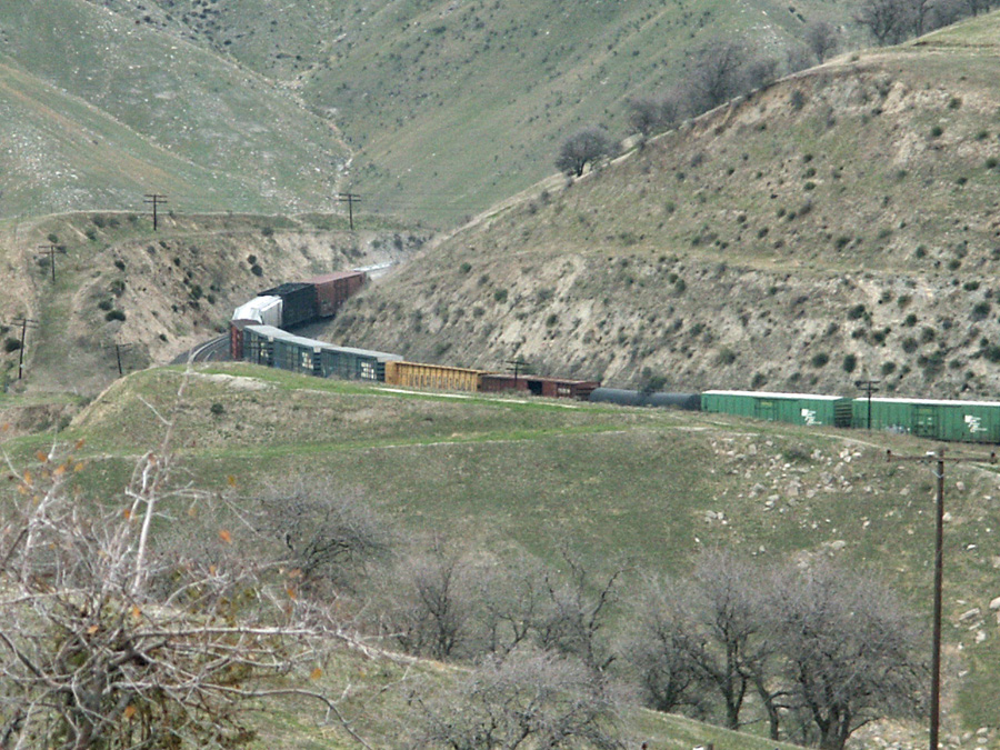
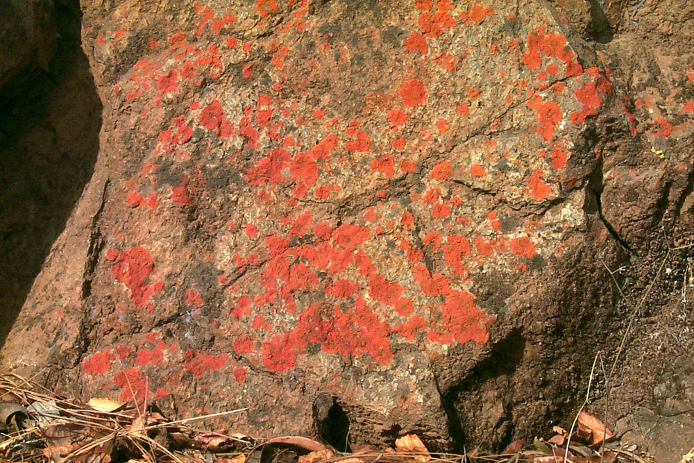
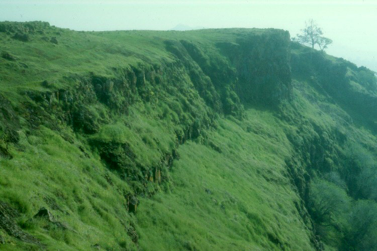
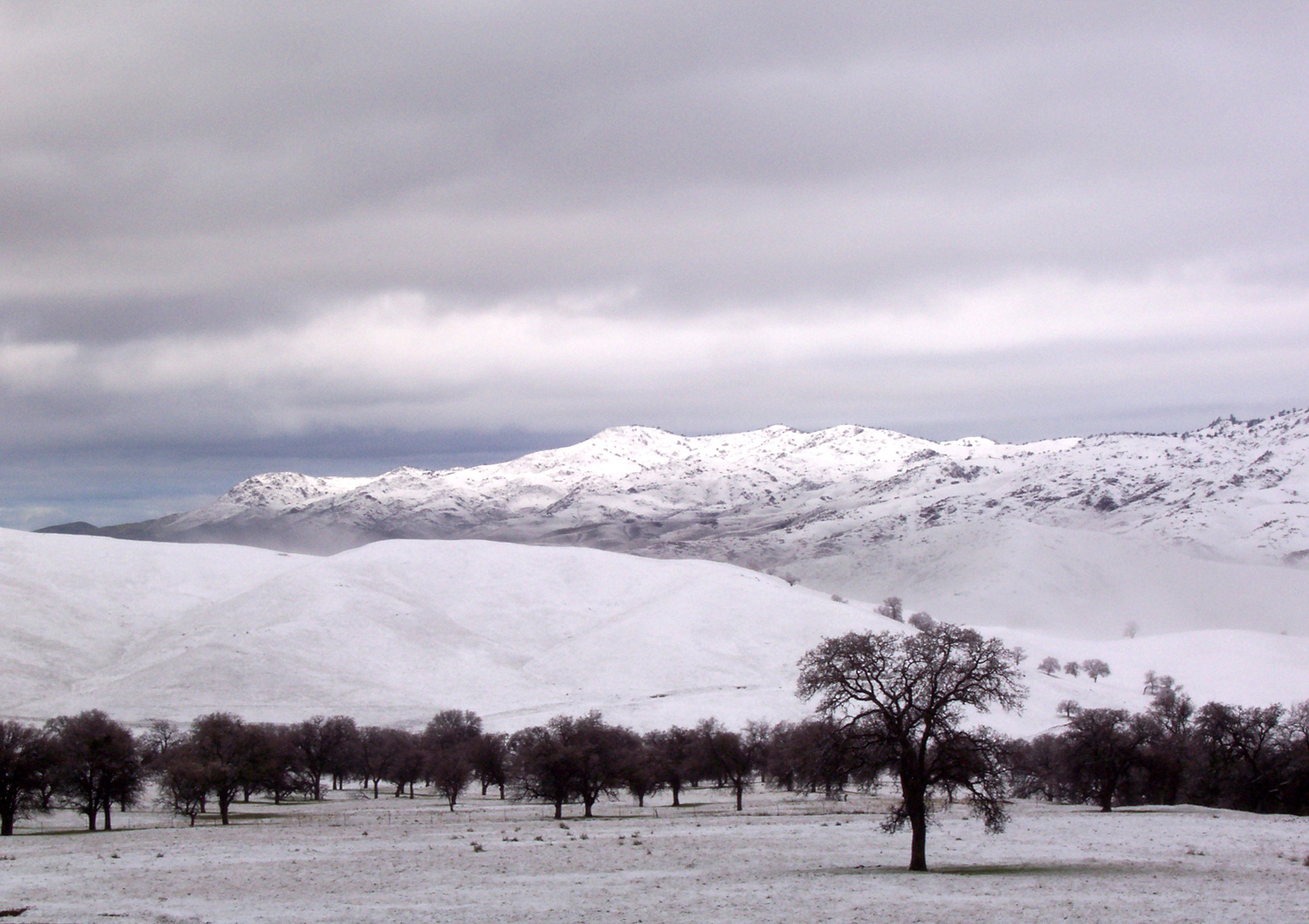
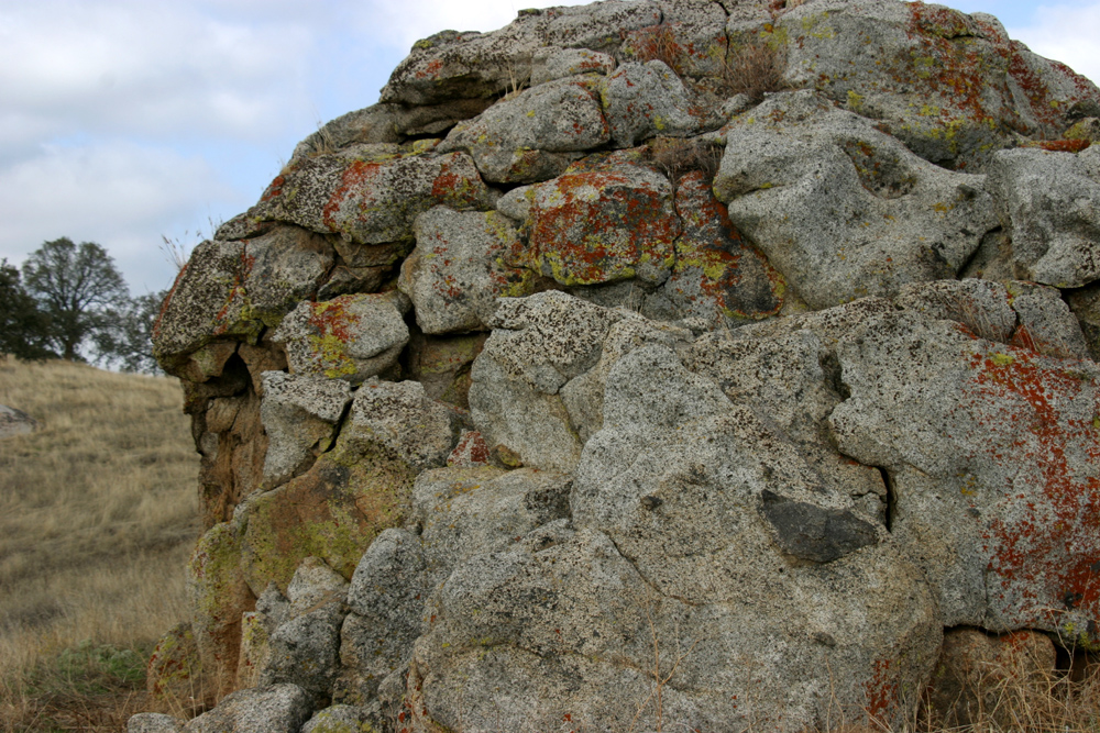
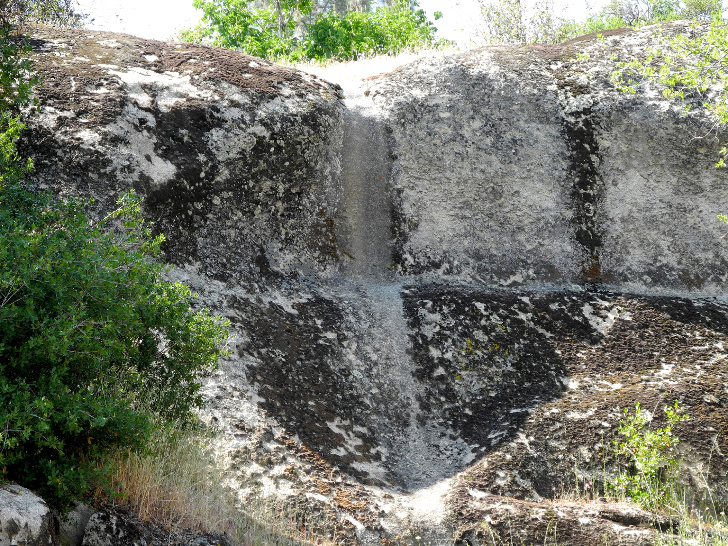
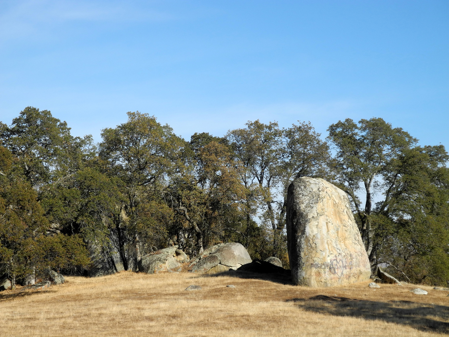
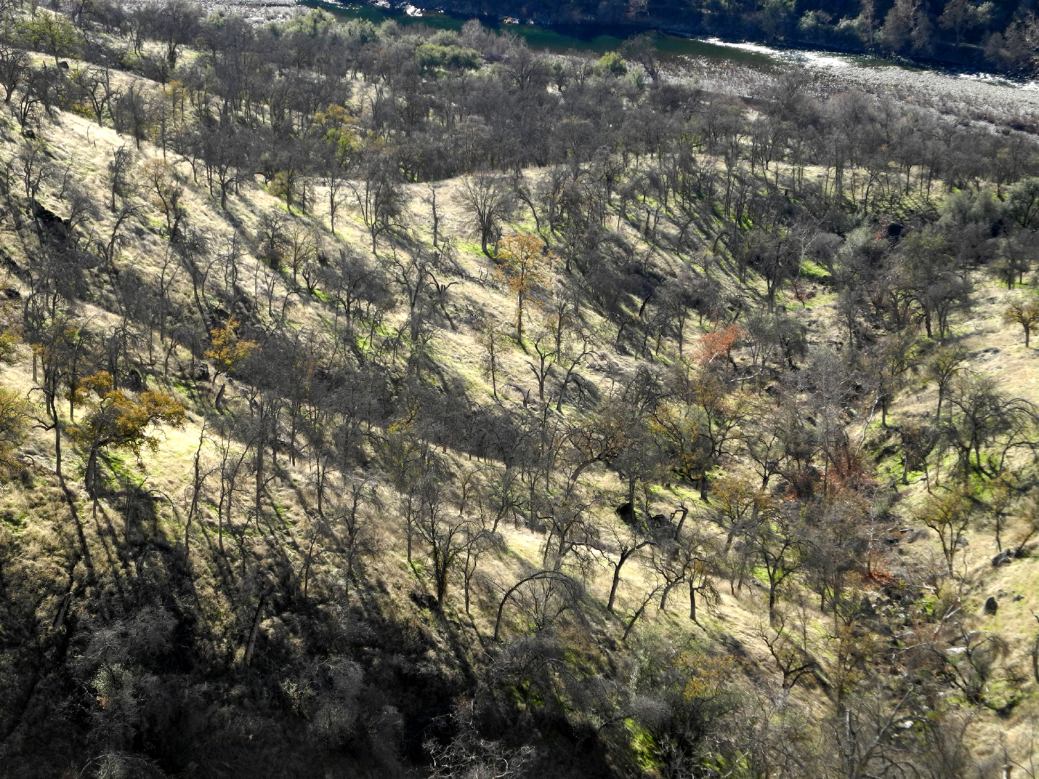
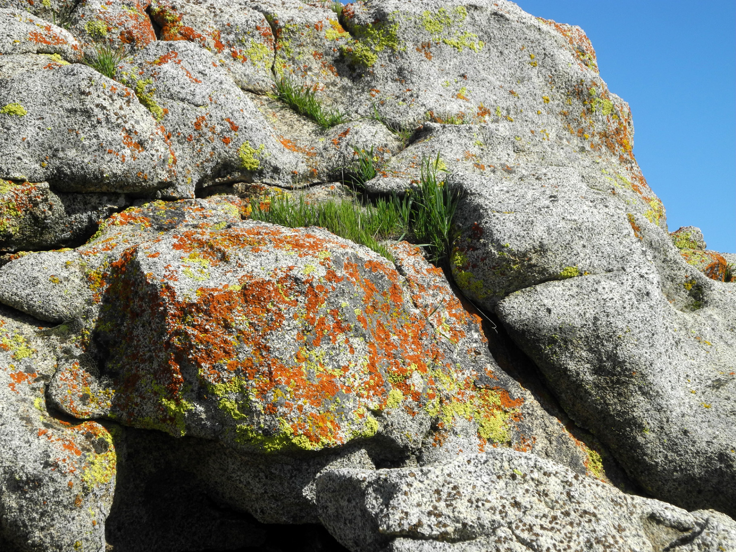
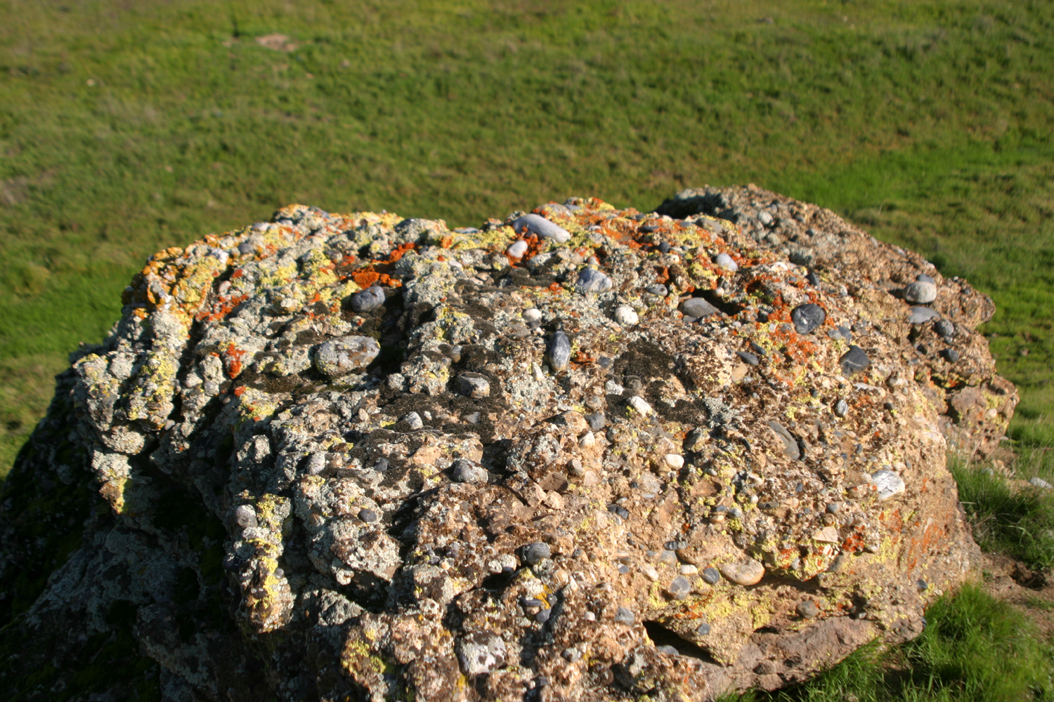
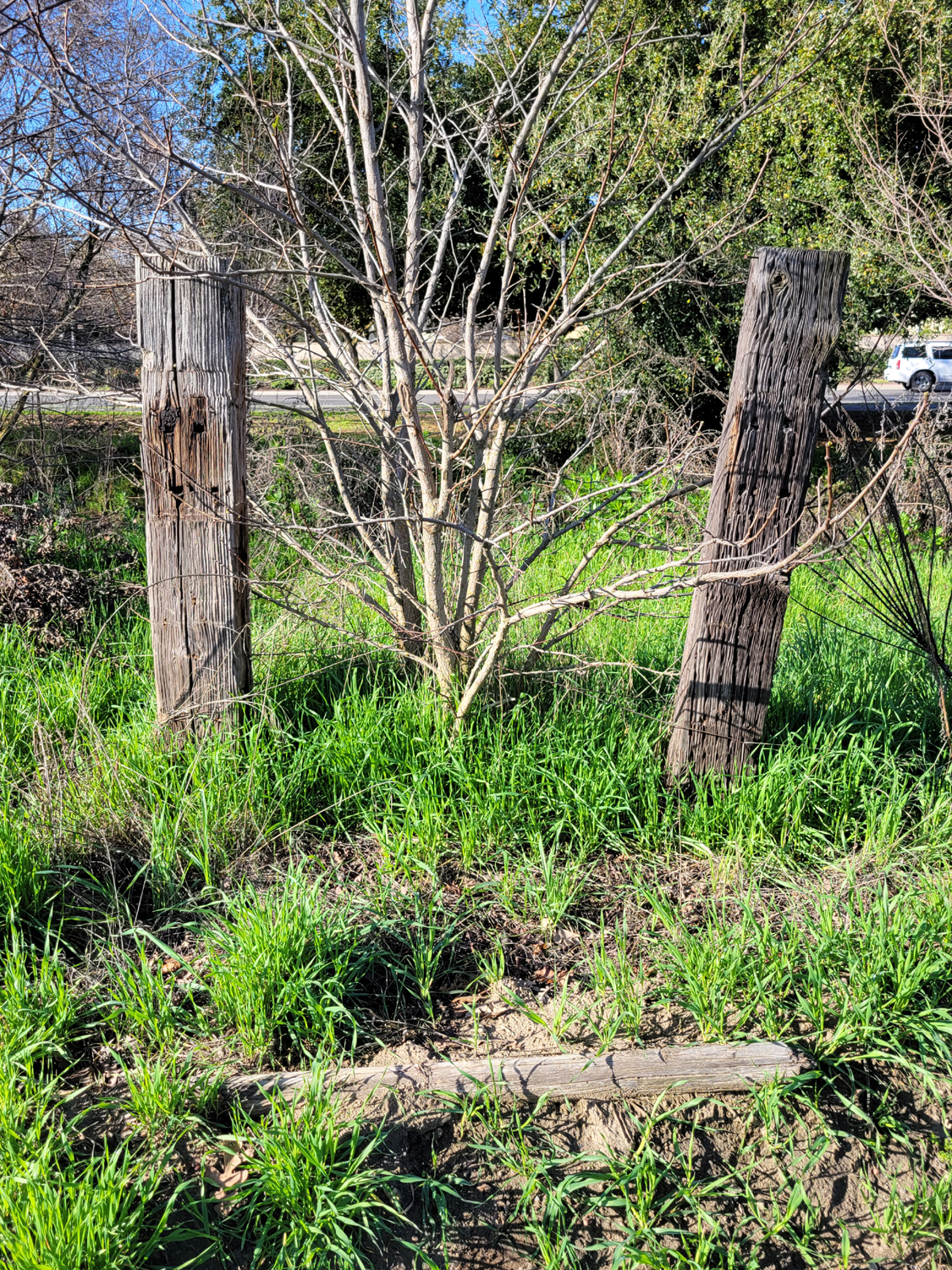
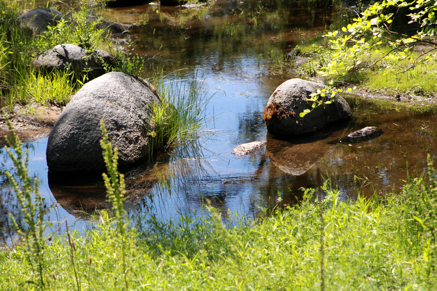
| Train in southern Sierra foothills, Kern County | Lichen on rock | Near Highway 58, Kern County |
 |
 |
 |
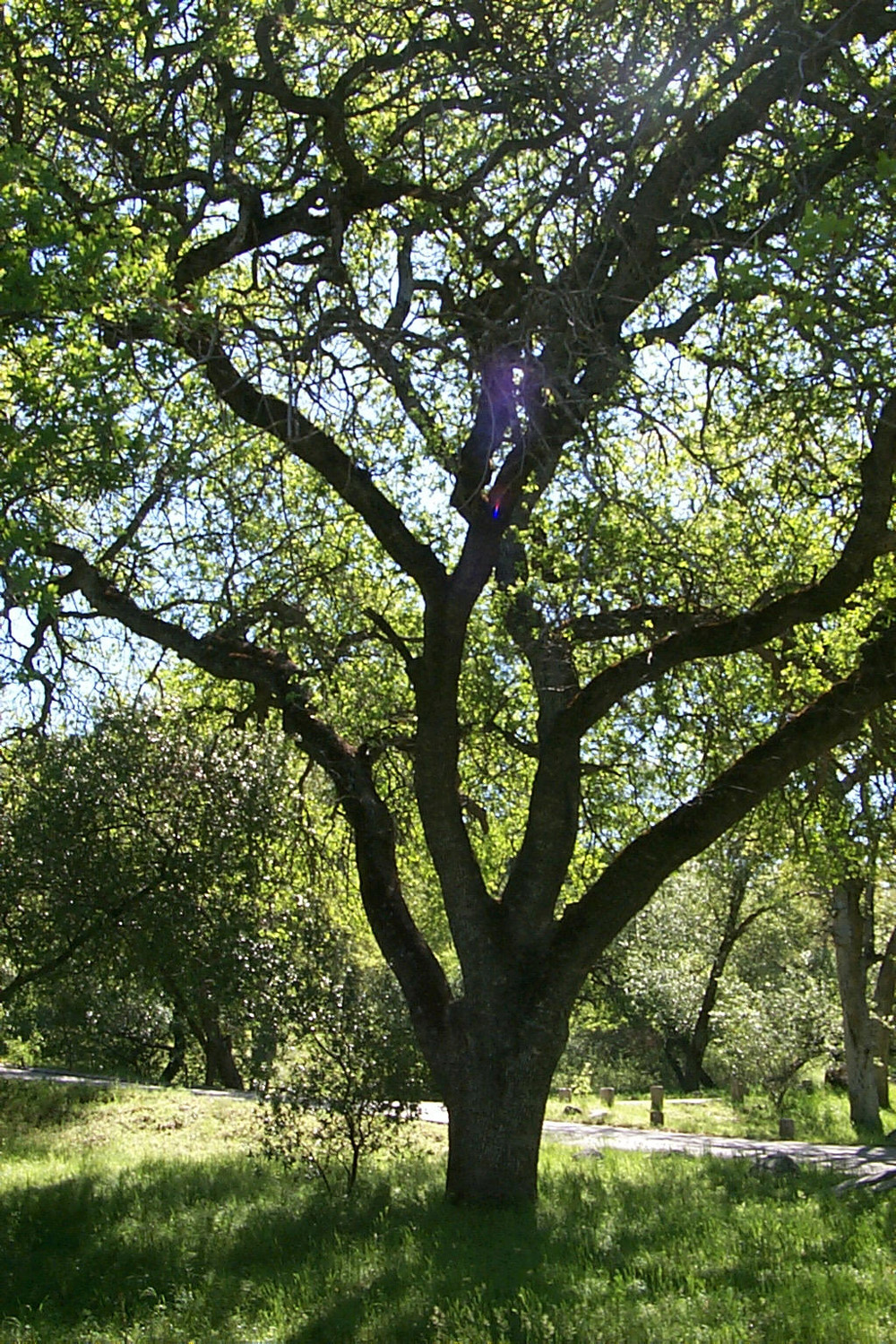
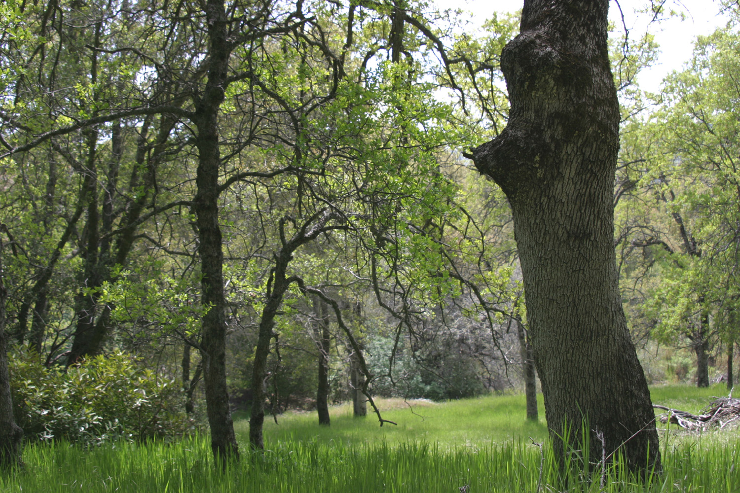
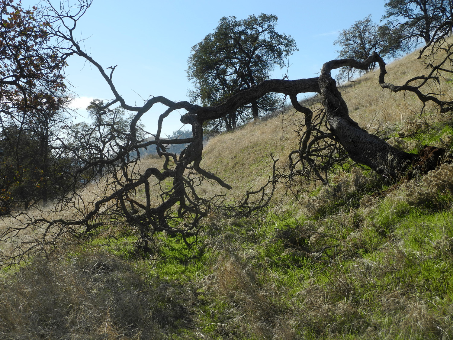
| Along Highway 49, Madera County | Mist above the Chowchilla River | Live oak, Mariposa County |
 |
 |
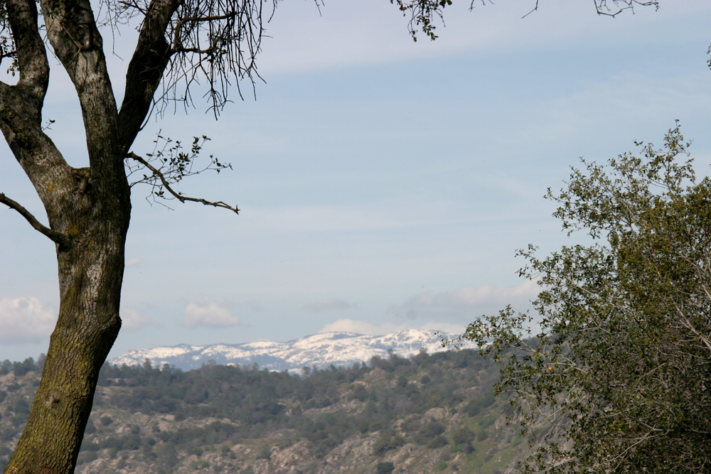 |
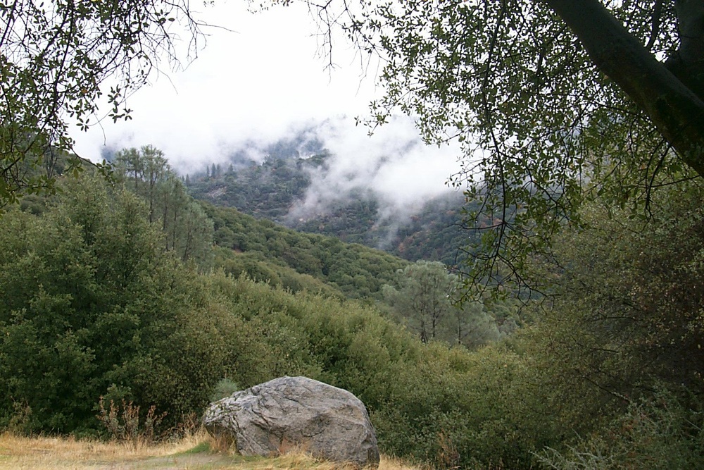
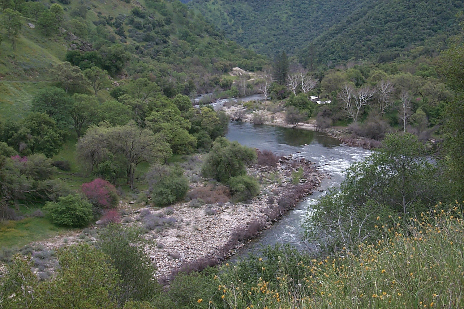
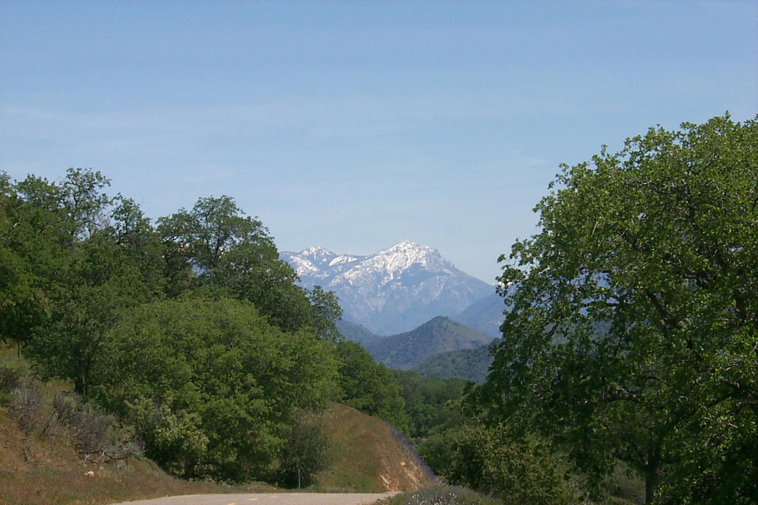
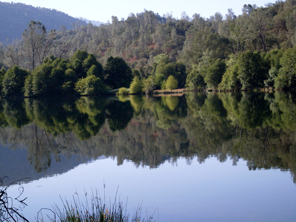
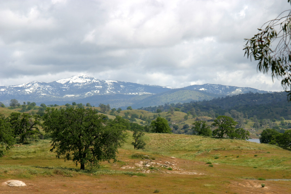
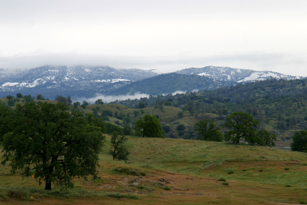
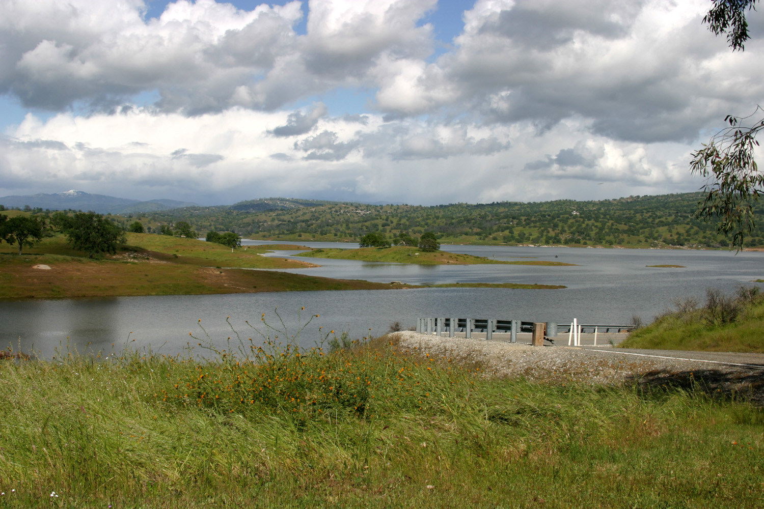
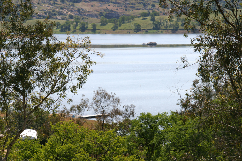
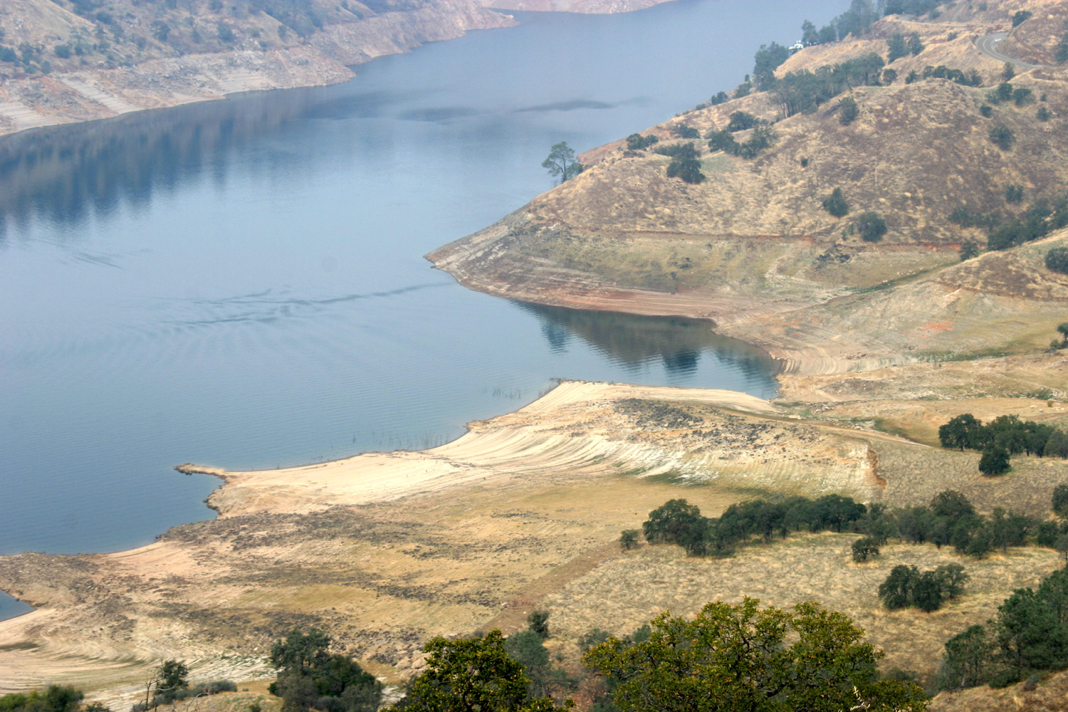
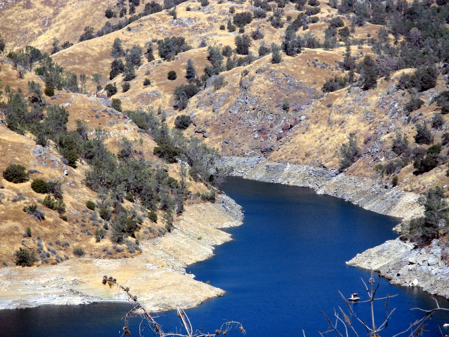
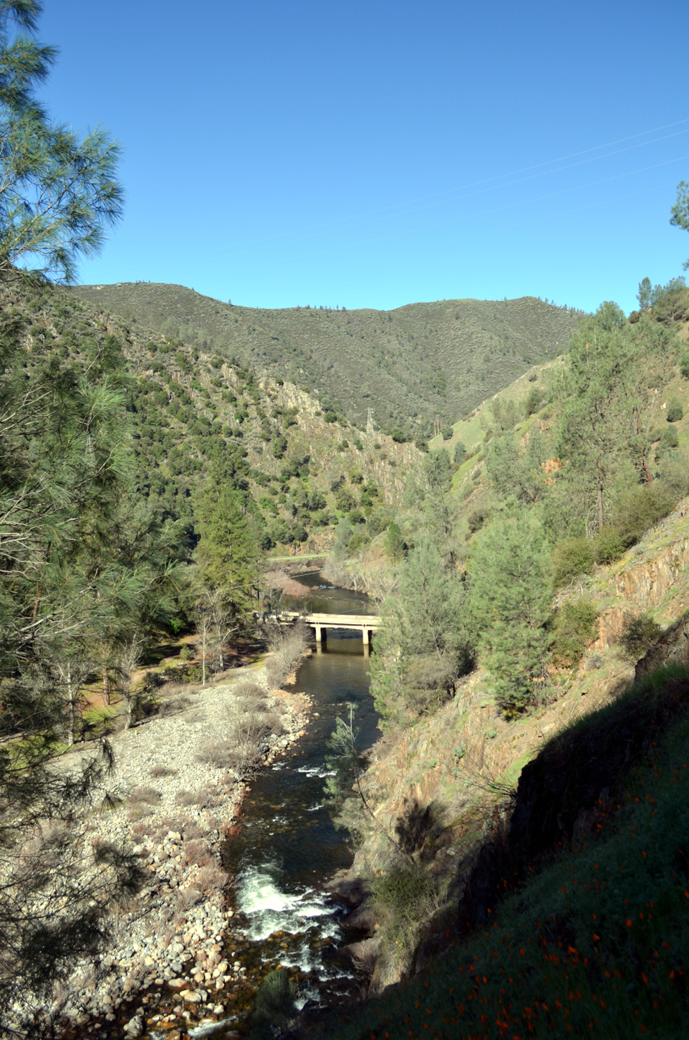
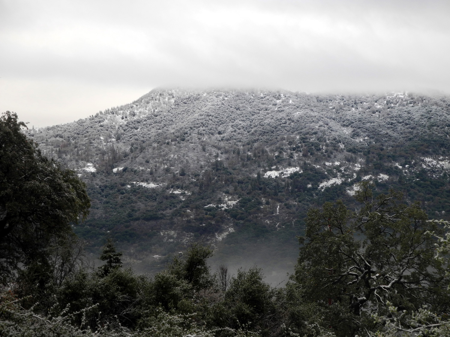
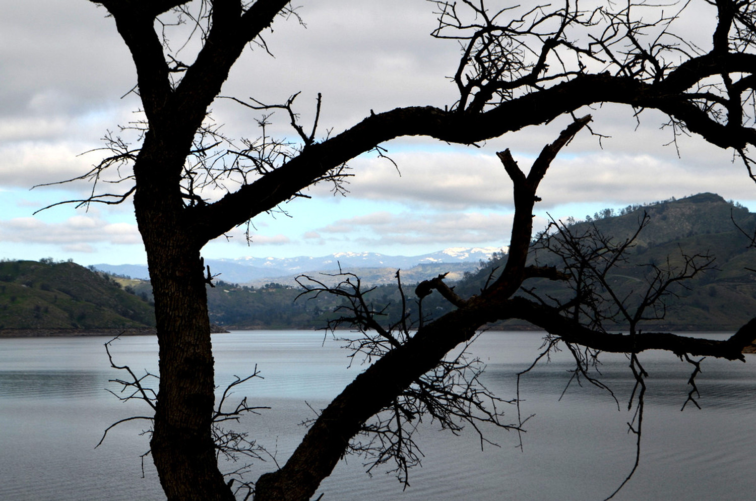
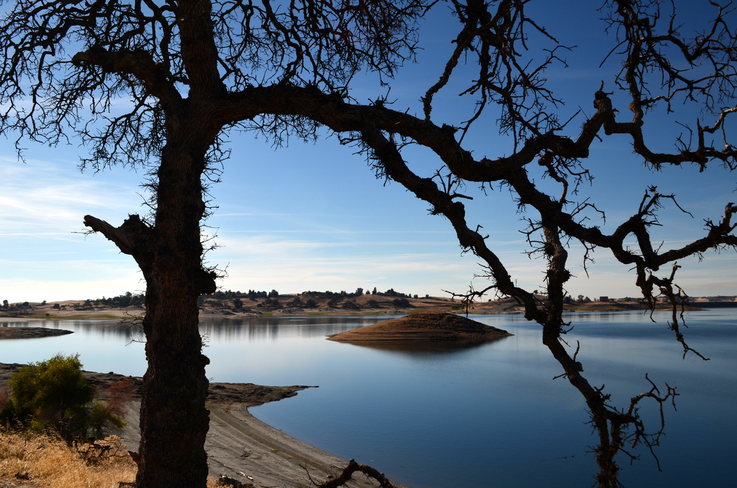
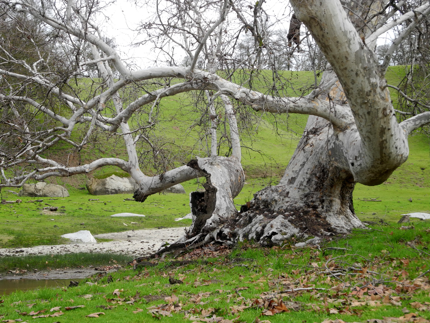
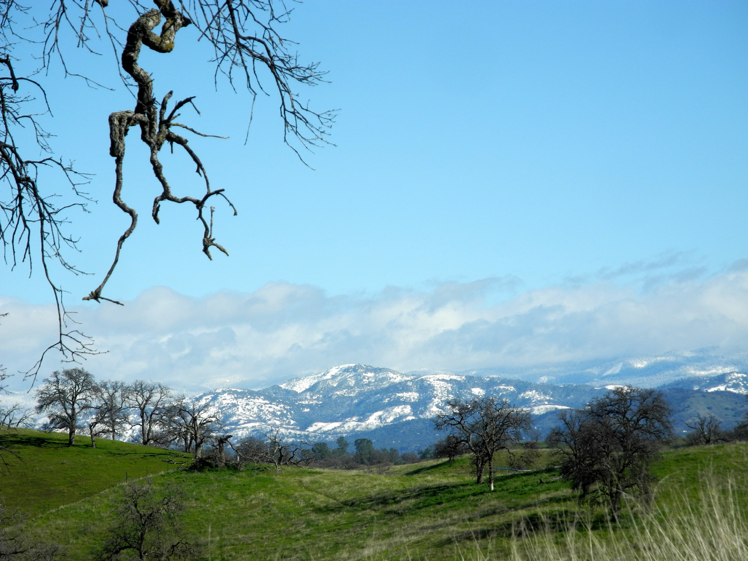
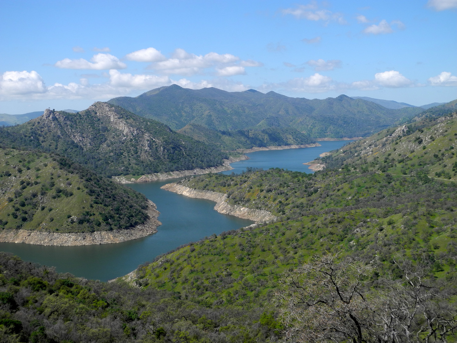
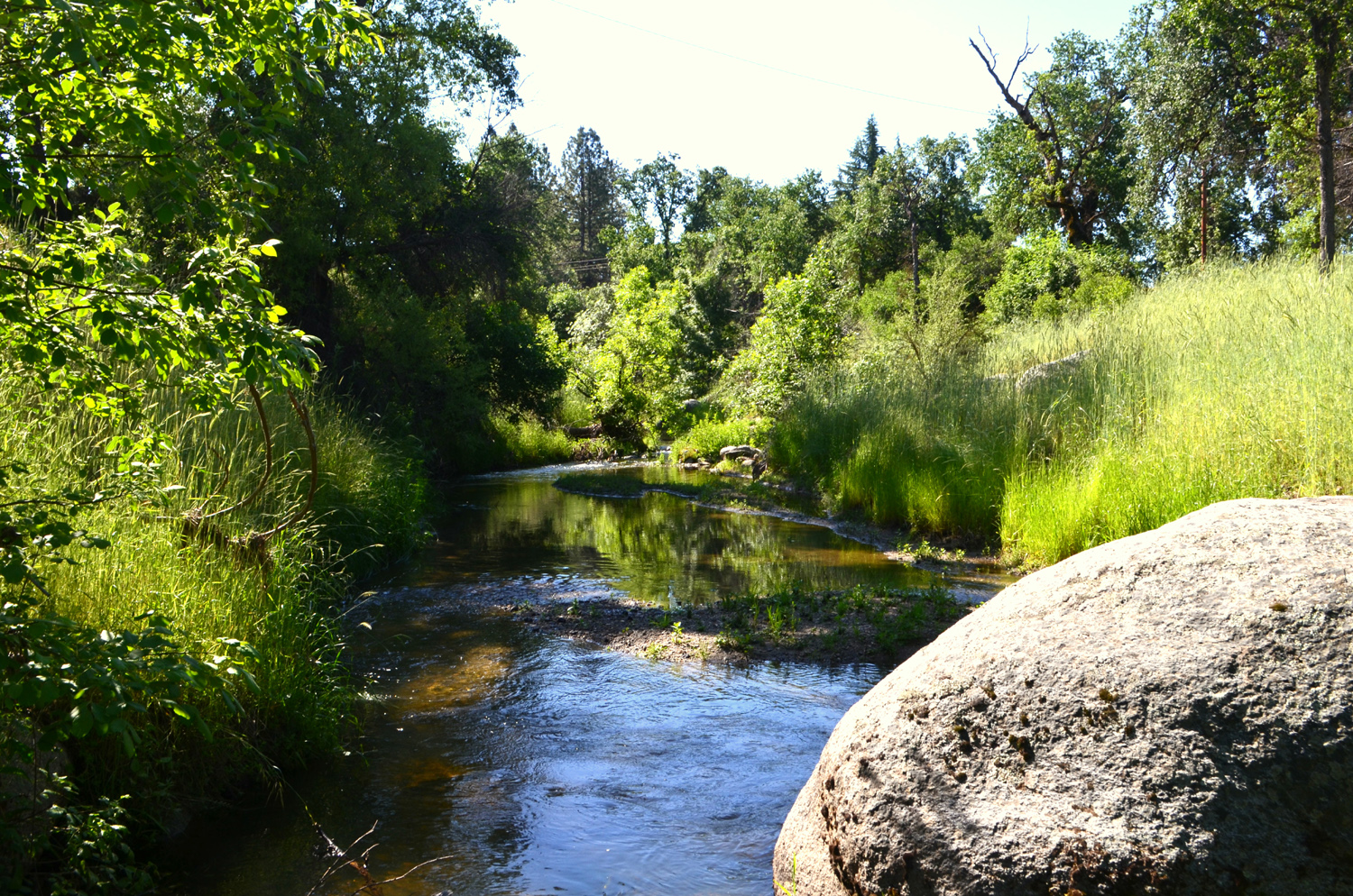
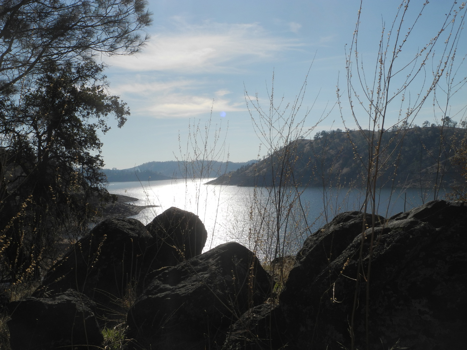
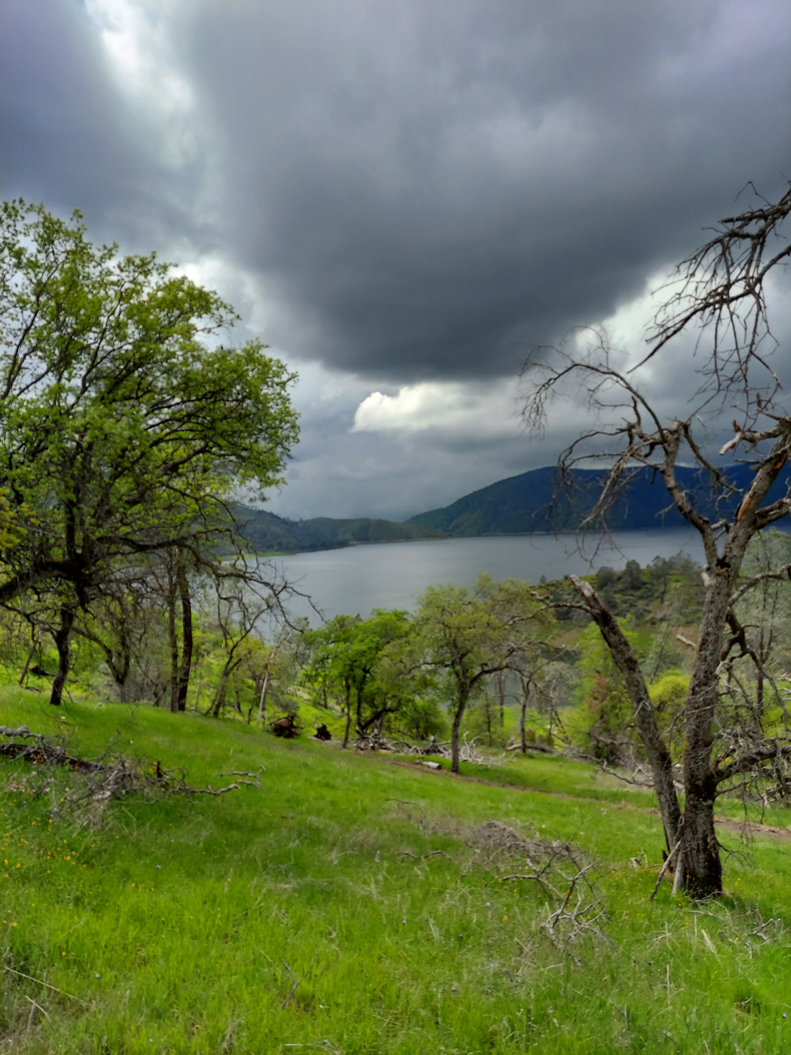
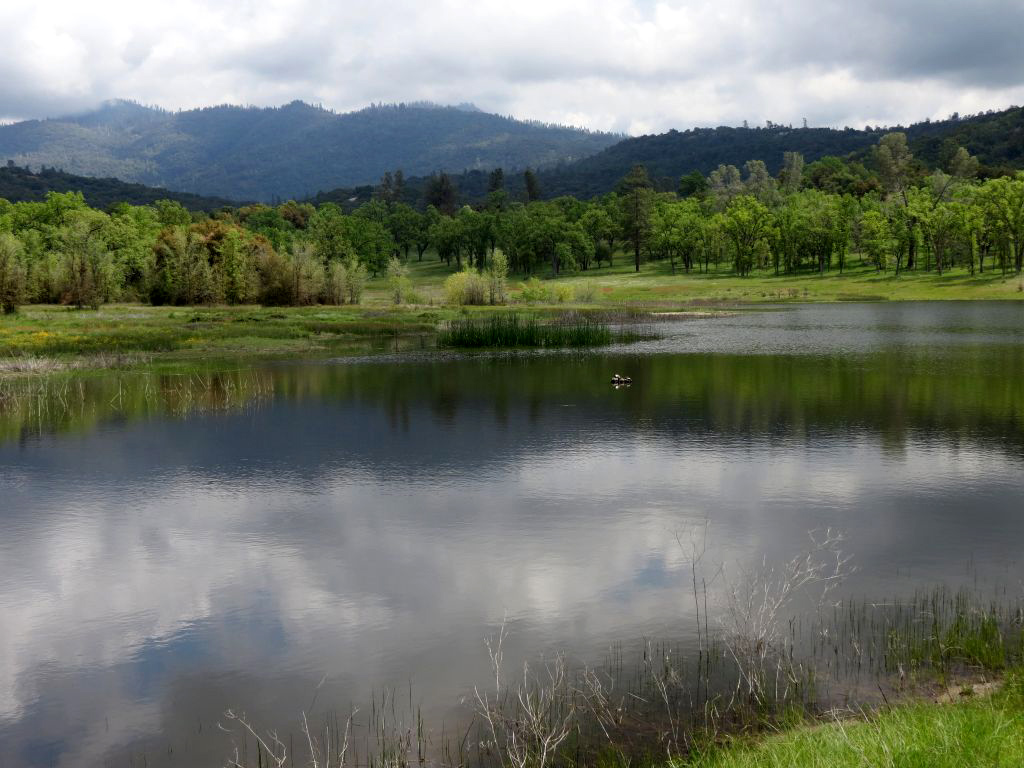
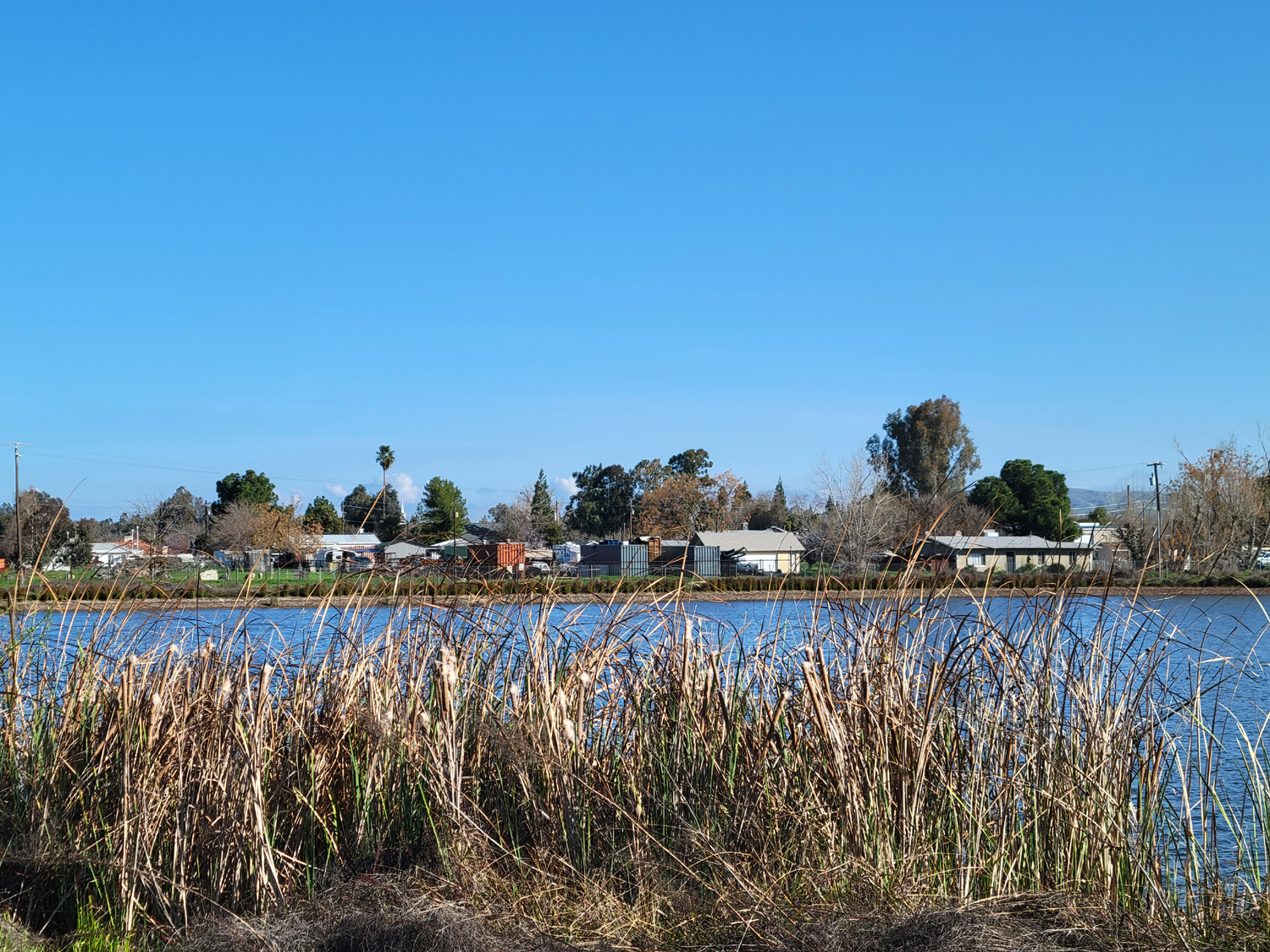
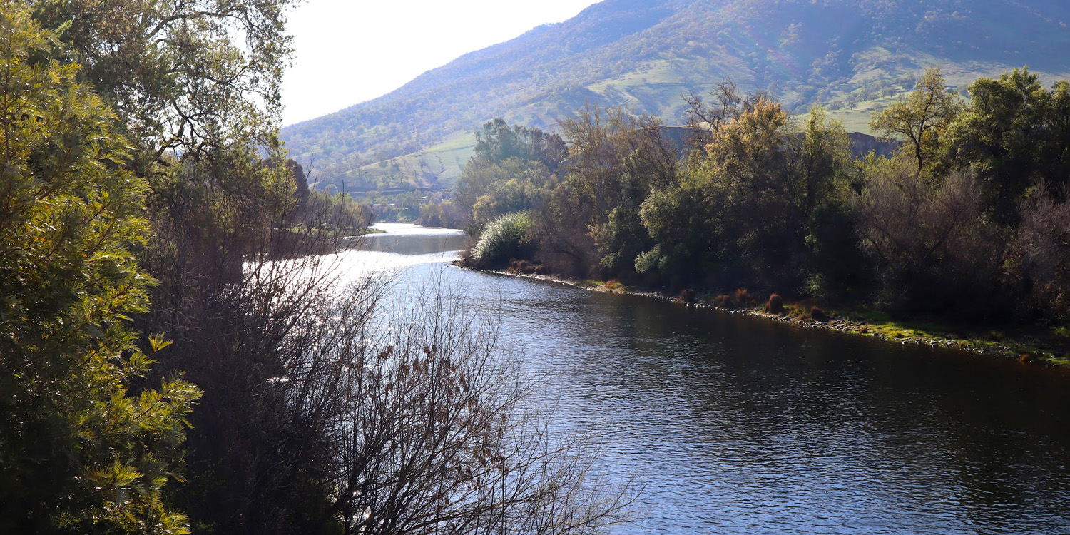
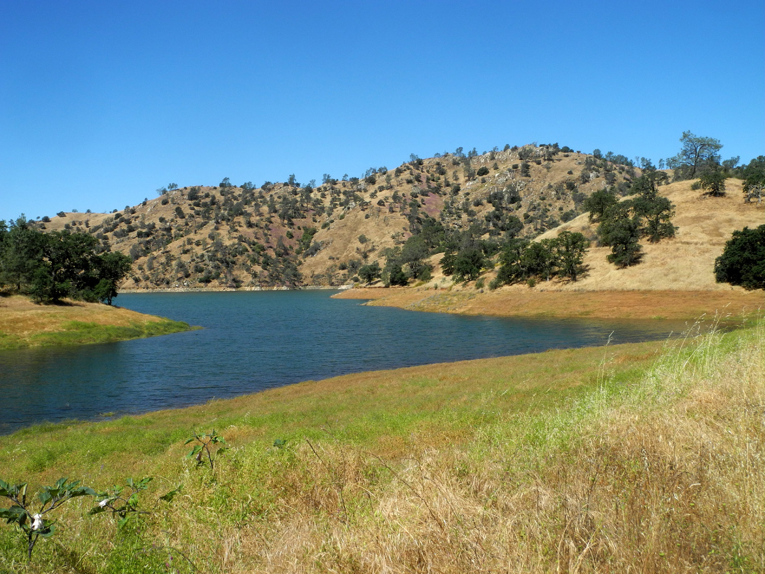
| Sycamores by the Kings River | Millerton Lake on the San Joaquin River | Sierra snow from San Joaquin Gorge |
 |
 |
 |
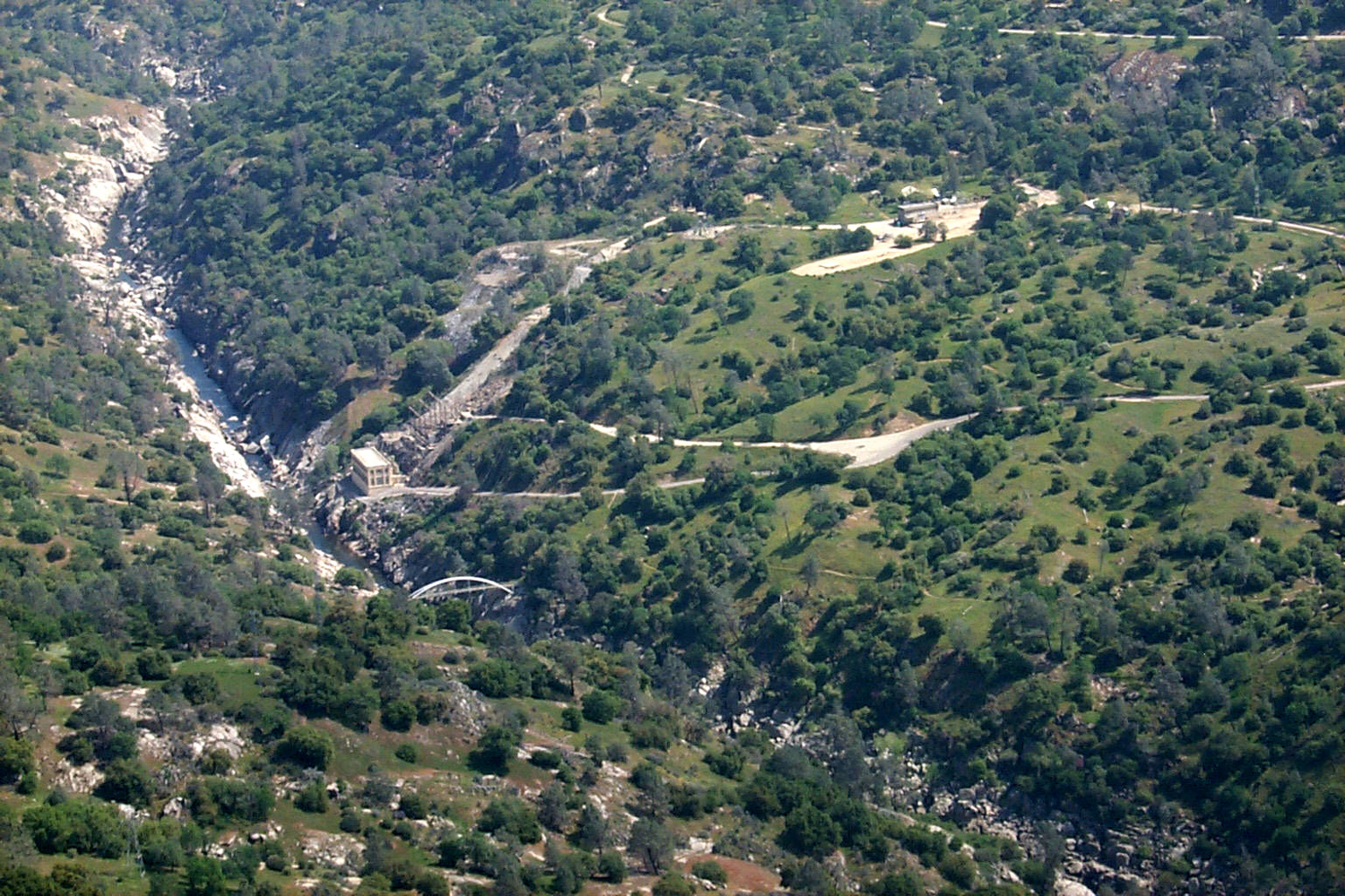
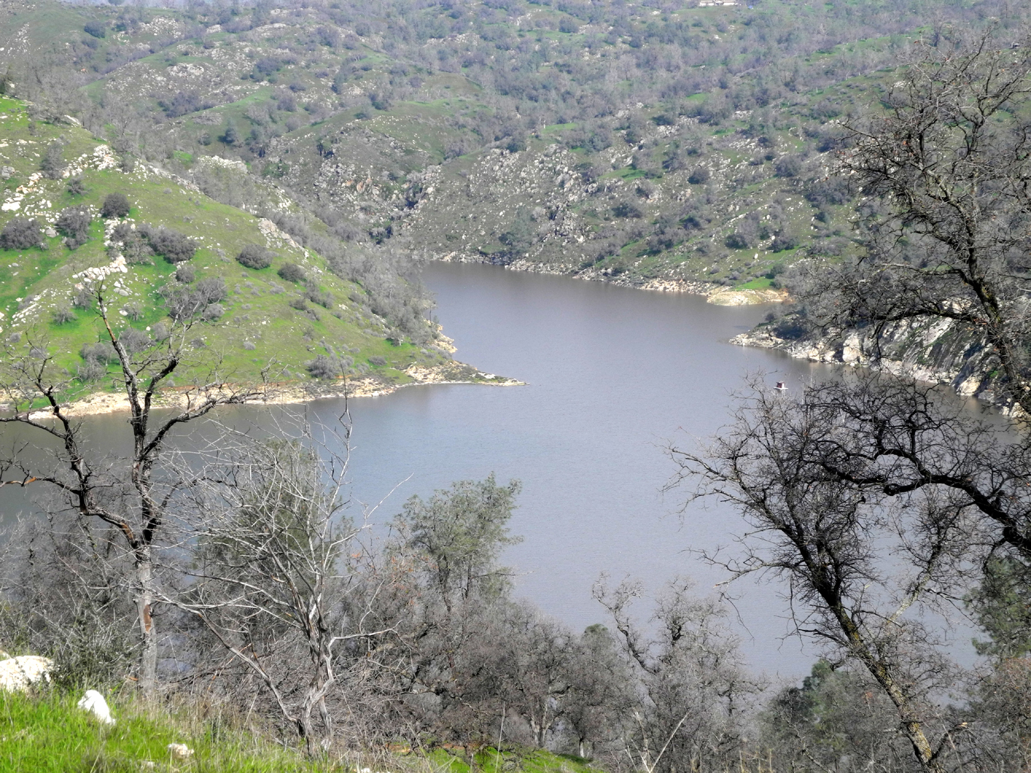
| San Joaquin Gorge (formerly known as Squaw Leap) (Also see my San Joaquin Gorge Photo Album) | ||
 |
 |
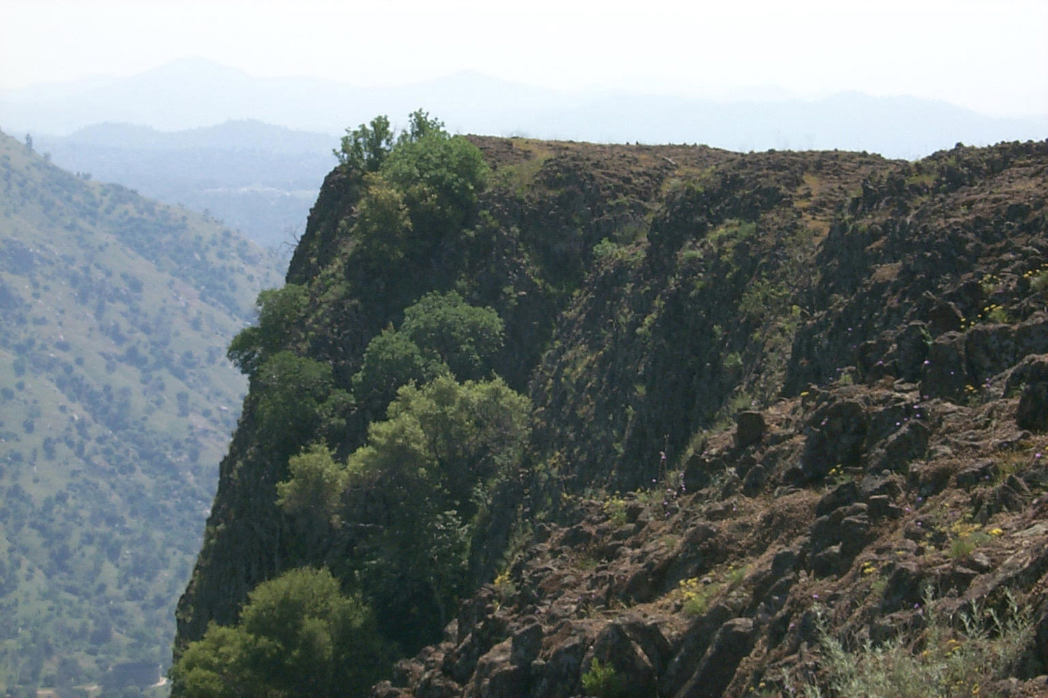 |
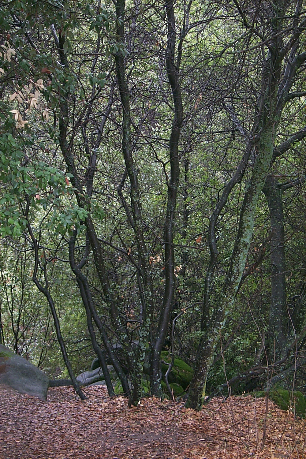
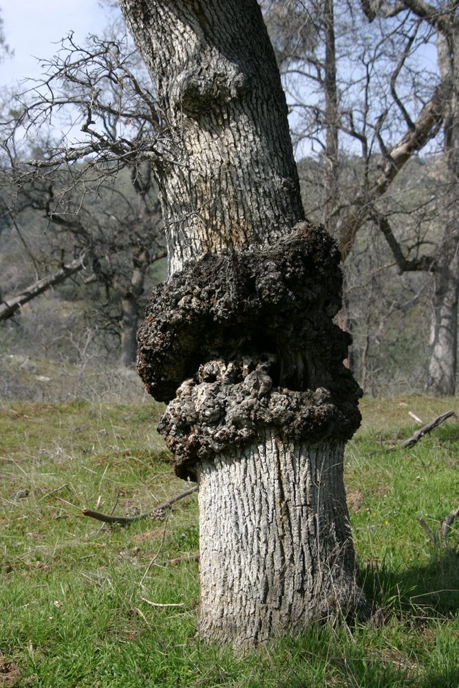
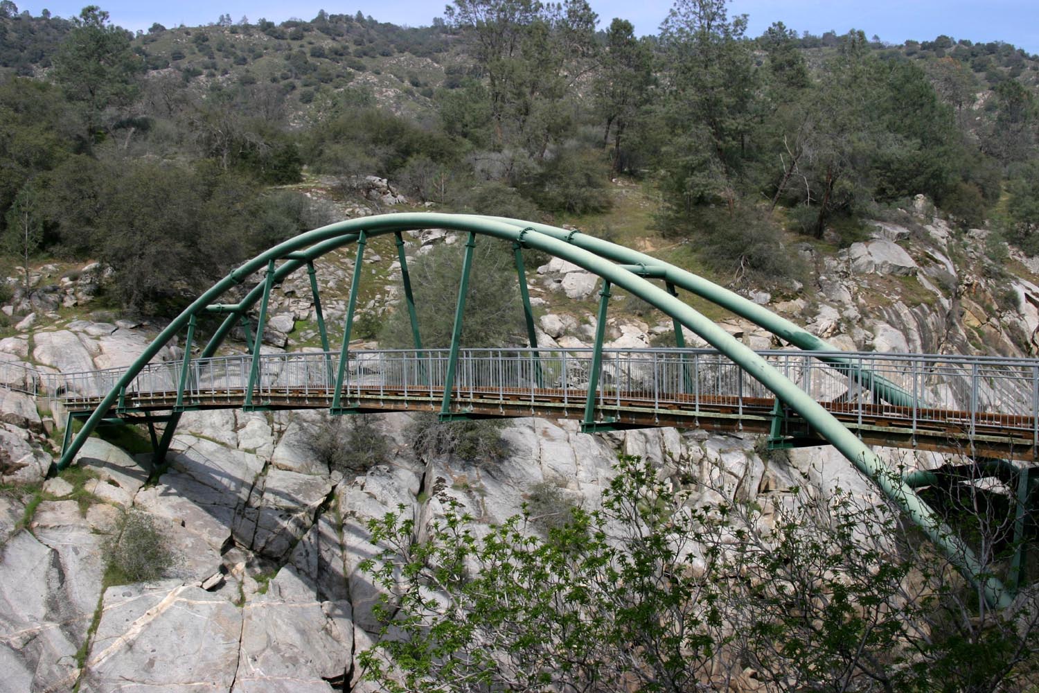
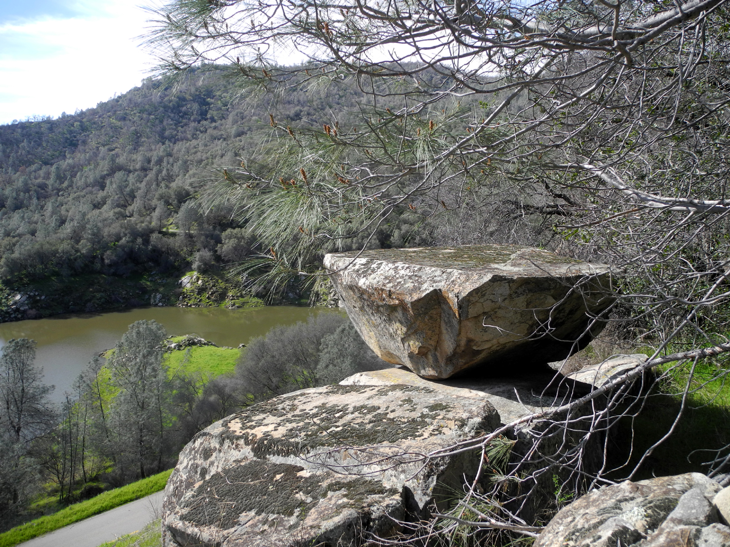
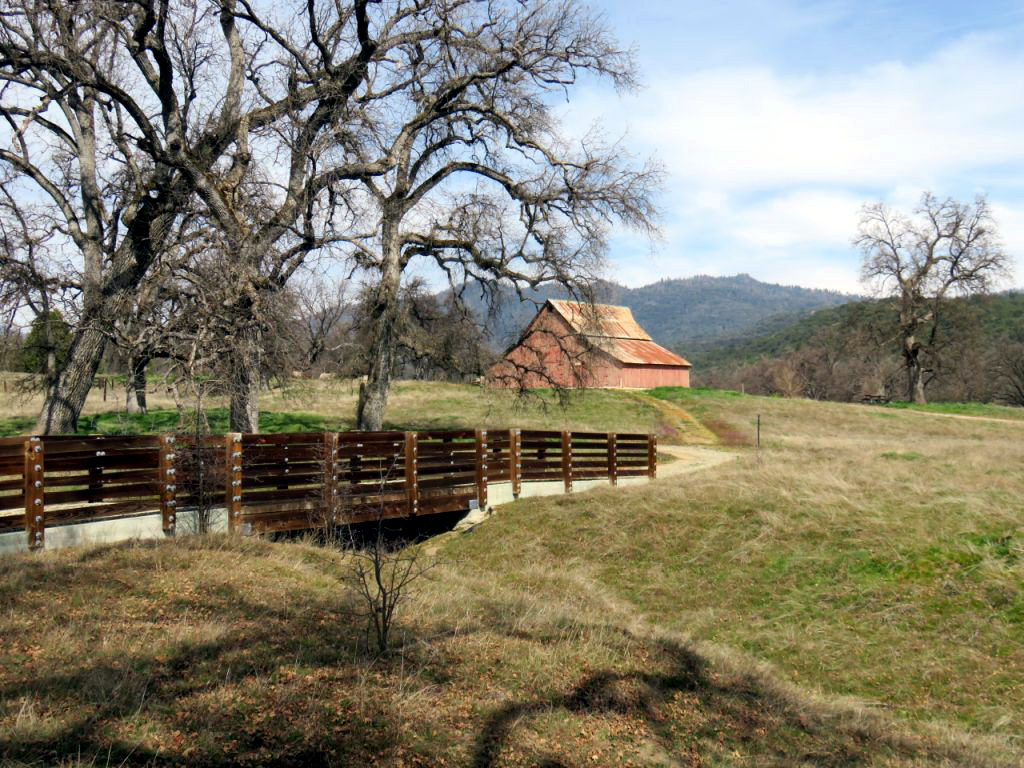
| Burl on blue oak at San Joaquin Gorge | Foot bridge across San Joaquin River | Kennedy Table above the San Joaquin River |
 |
 |
 |
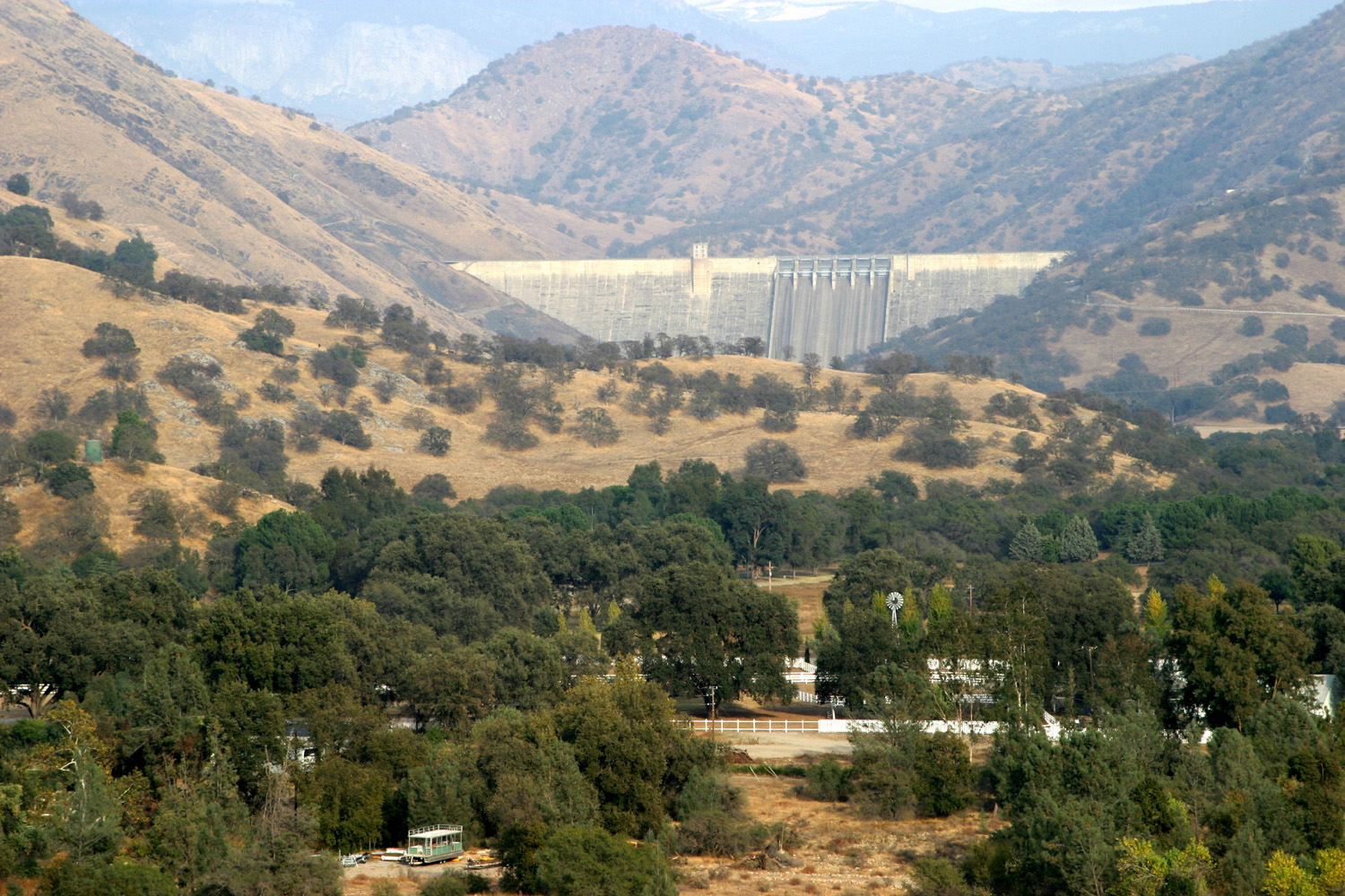
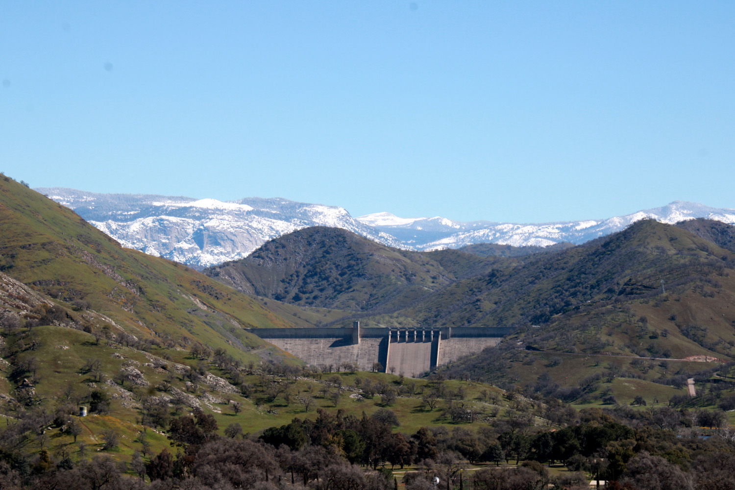
| Pine Flat Dam | Kings River below Pine Flat | Kings River above Pine Flat |
 |
 |
 |
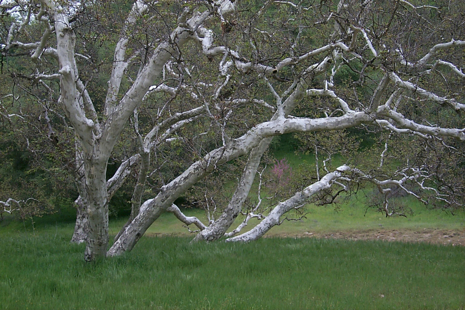
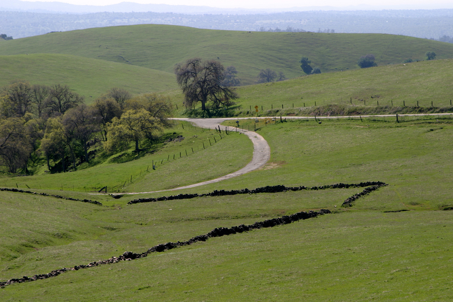
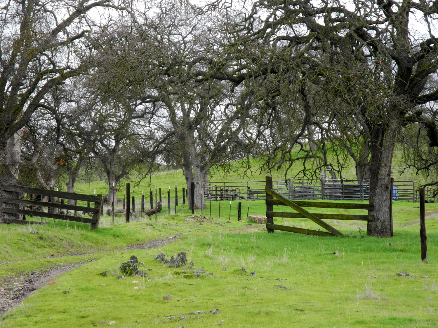
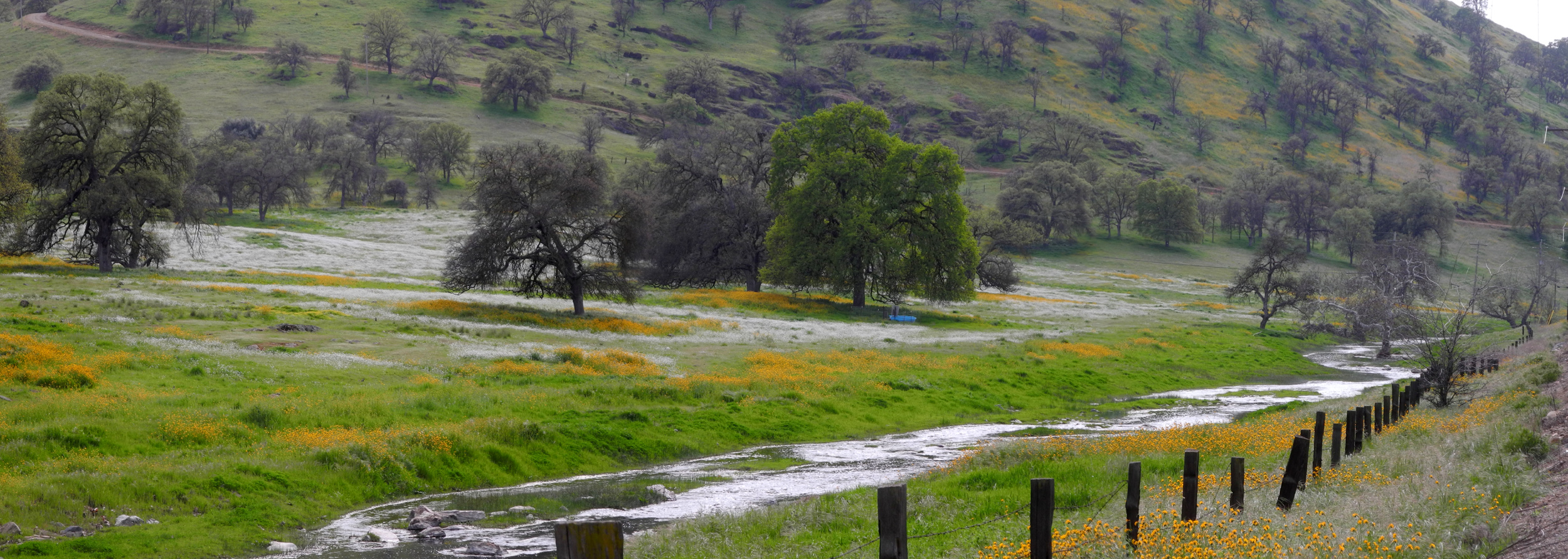
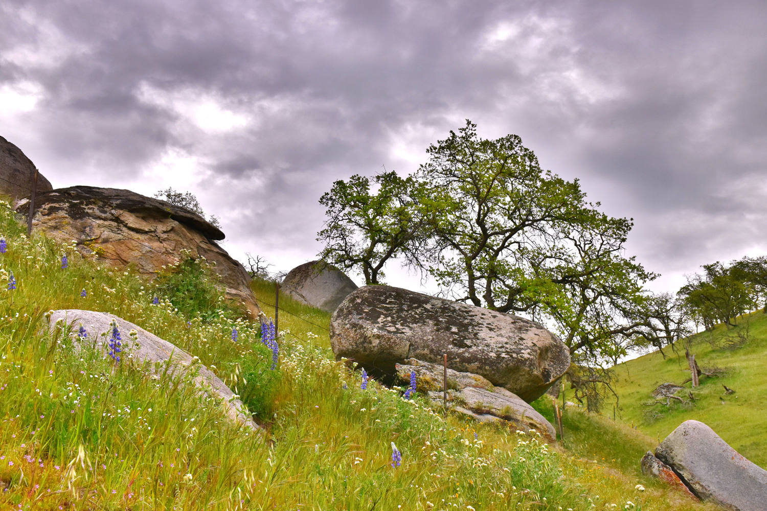
| Lupines near Kings River | Water tank in Raymond | C.E. Quick Ranch, Ben Hur Road |
 |
 |
 |
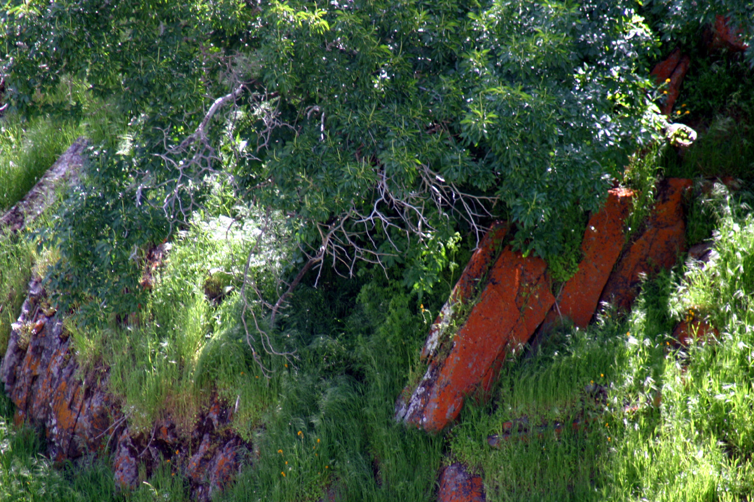
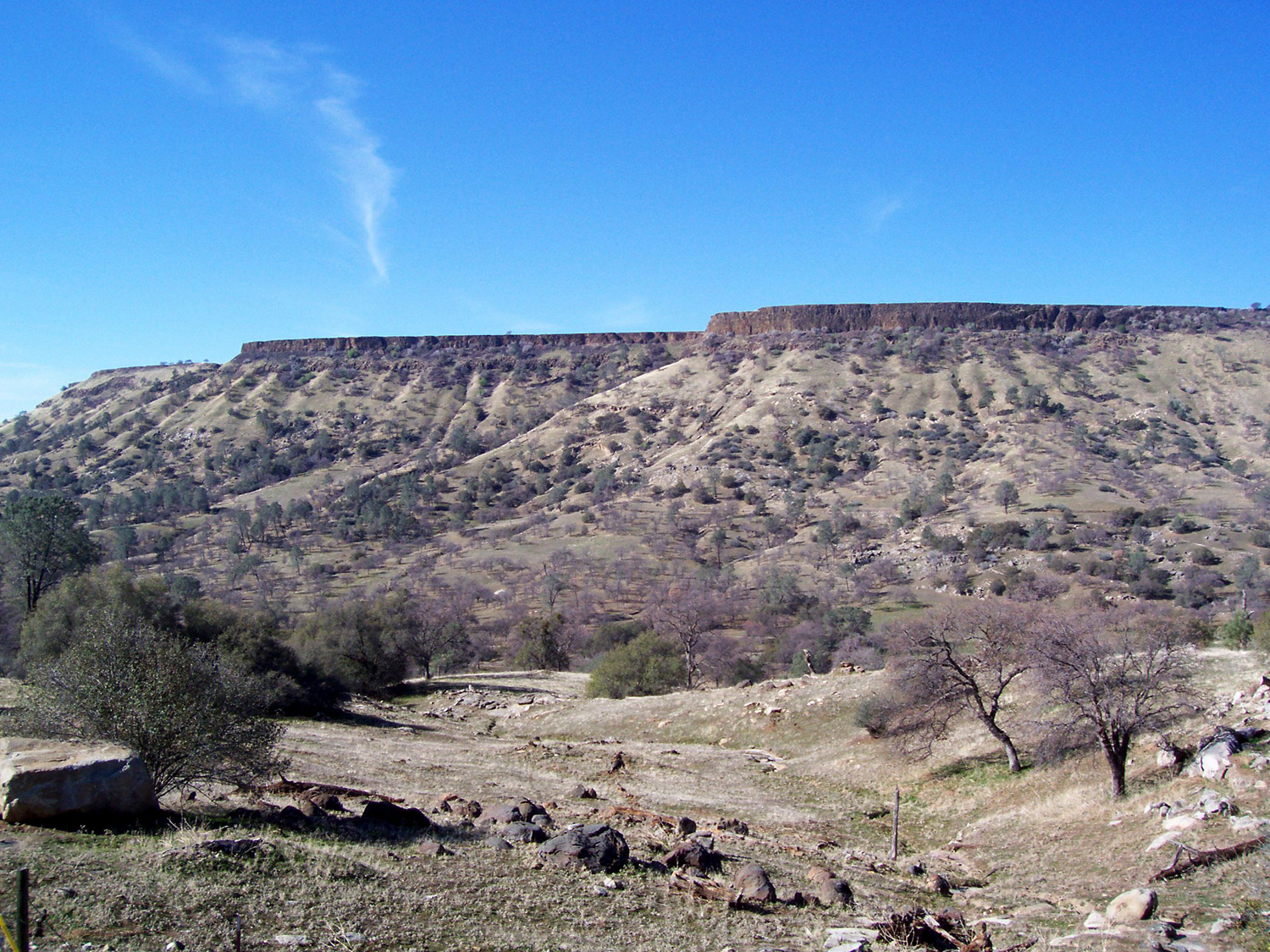
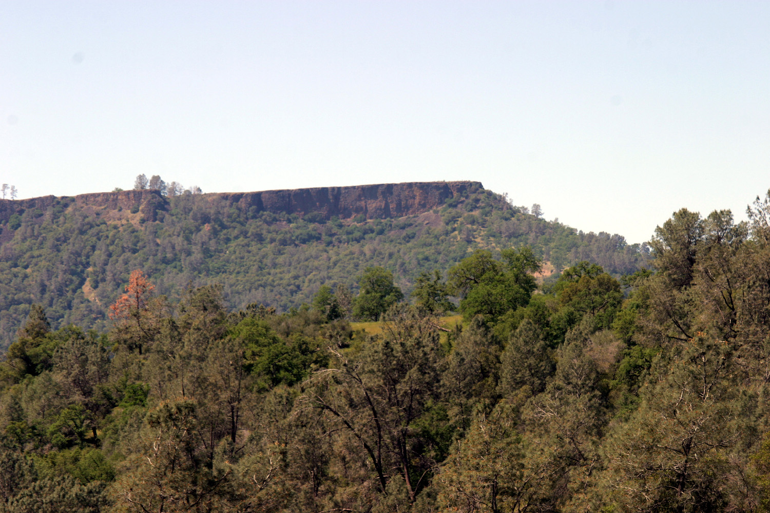
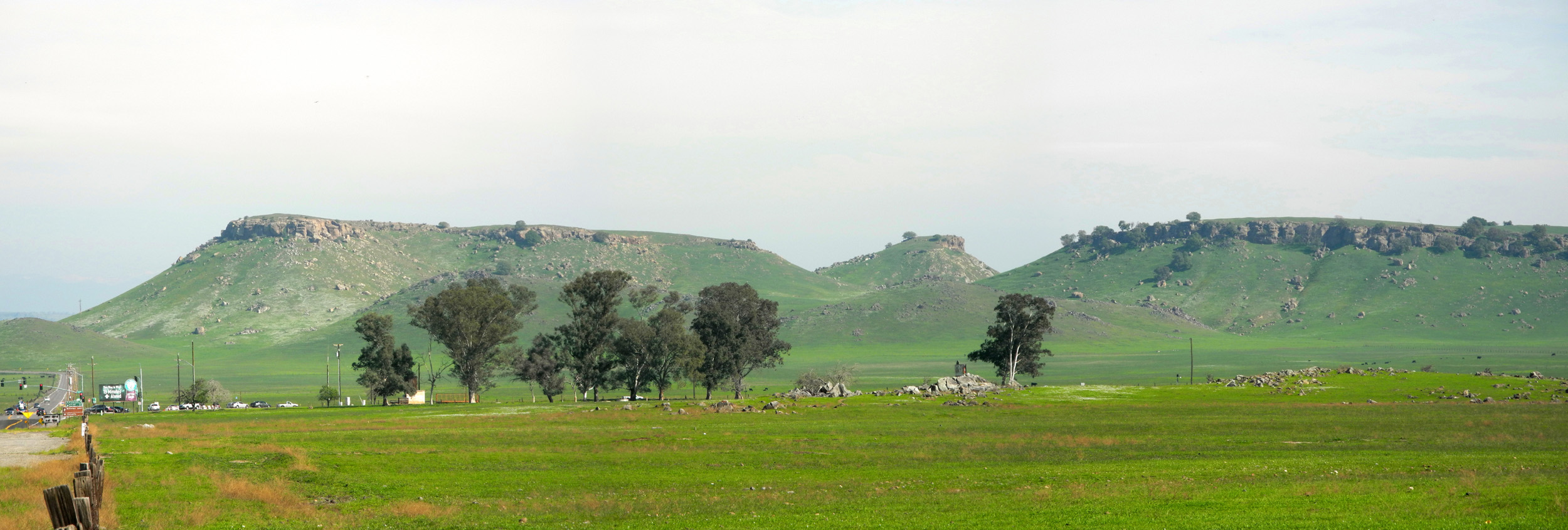
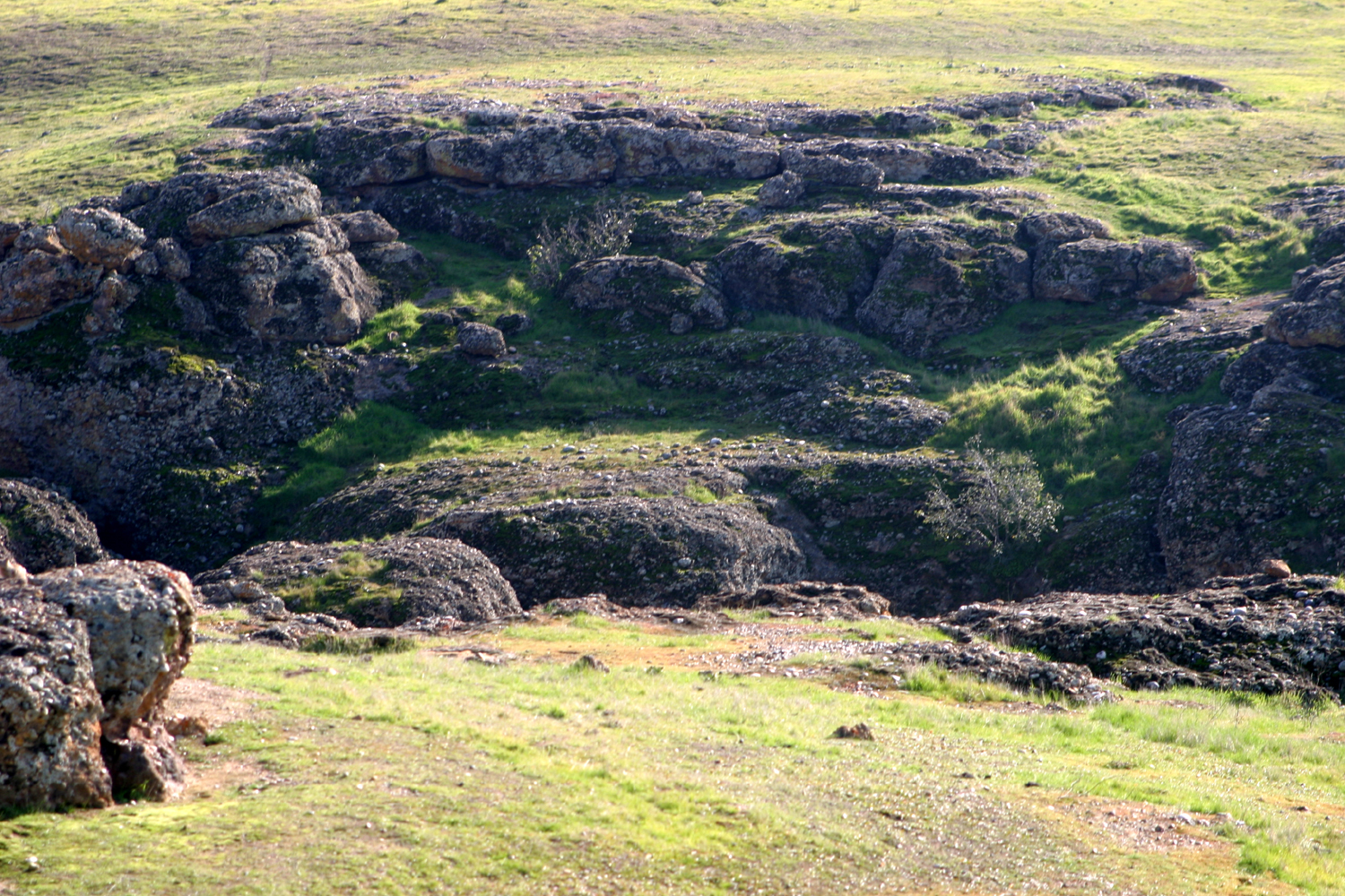
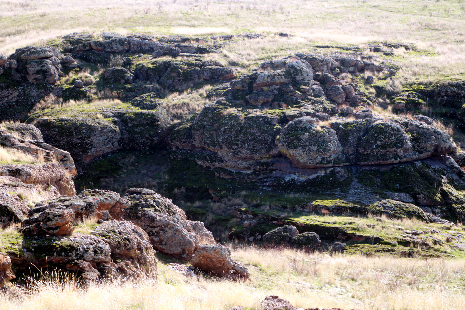
| Basalt outcropping, Table Mountain area | Wren
Peak in Kings Canyon National Park, from above Pine Flat Lake |
Oak near Kings River |
 |
 |
 |
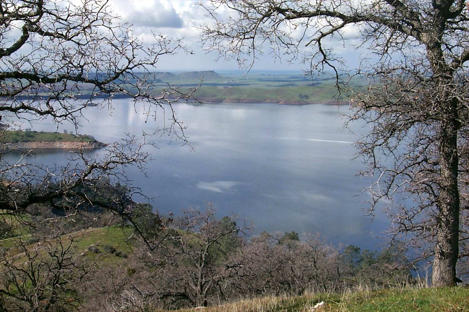
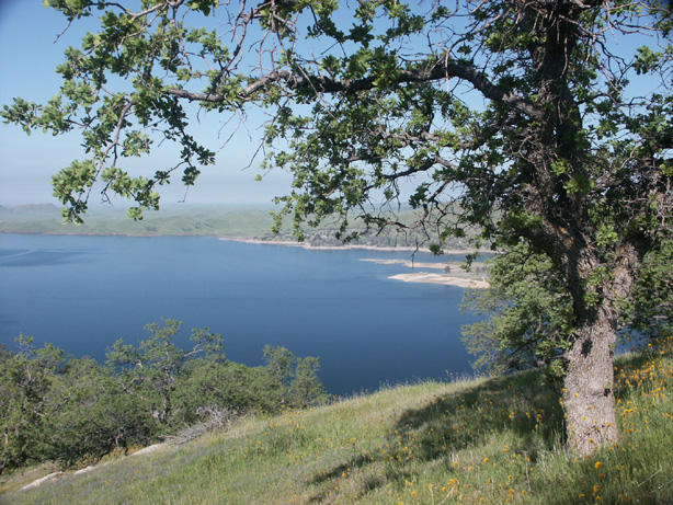
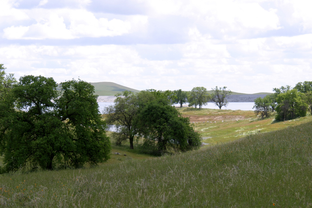
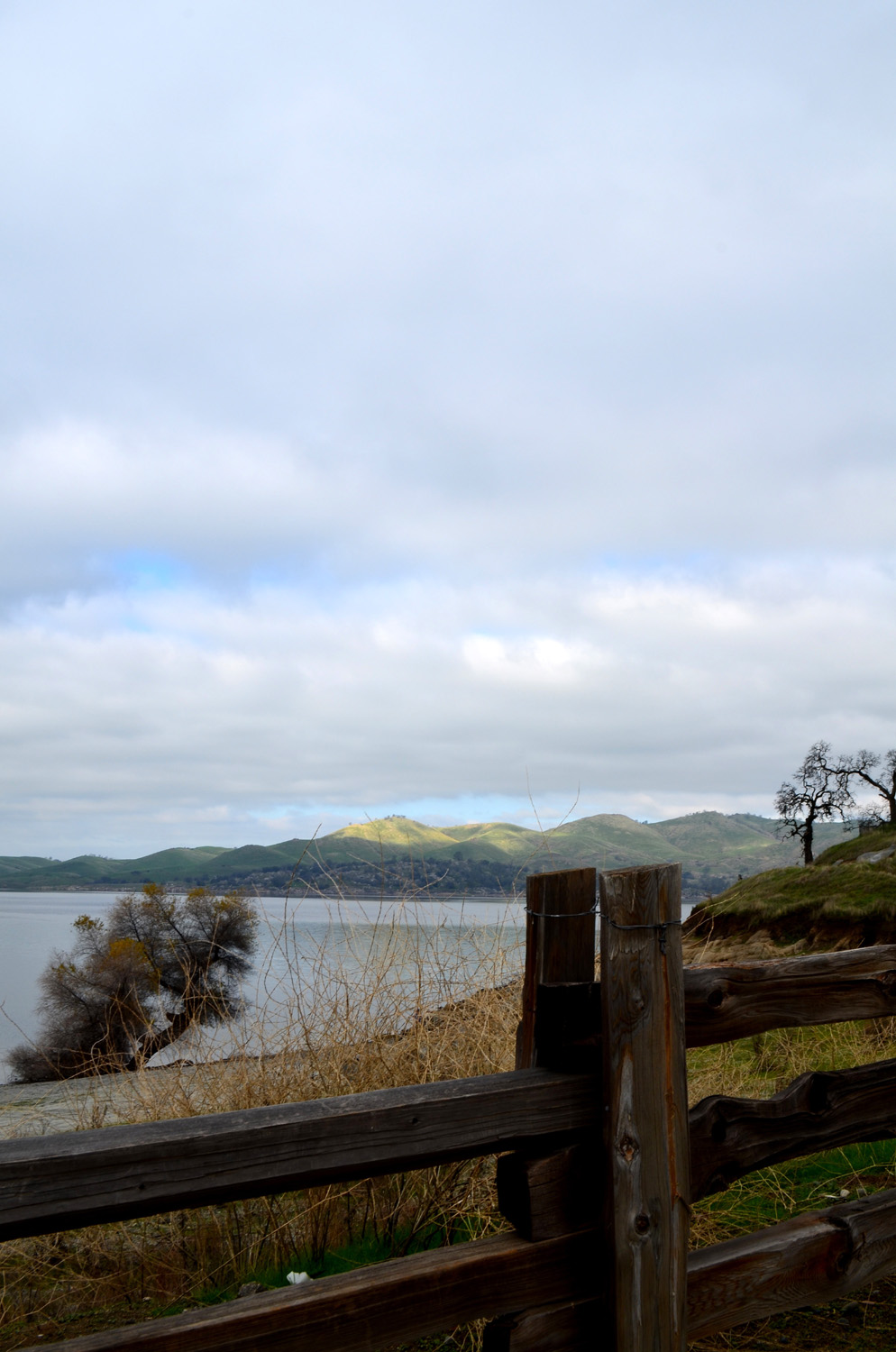
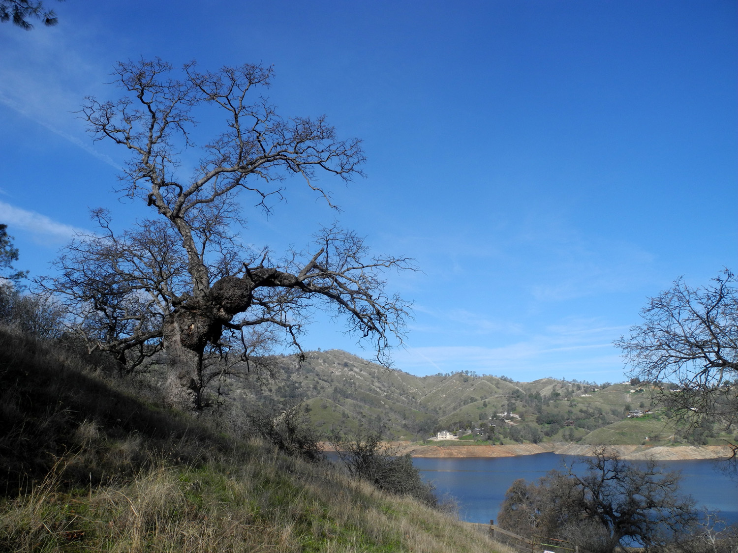
| Millerton Lake | Little Table Mountain, Madera County - Spring and Summer | |
 |
 |
 |
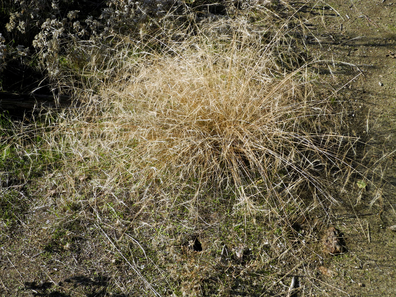
| Spider webs in foothill grass | Sky Harbor Road near Fresno | Oak near Sky Harbor Road |
 |
 |
 |
| Oak near Mariposa | Pond near Bootjack, Mariposa County | Table Mountain, |
 |
 |
 |
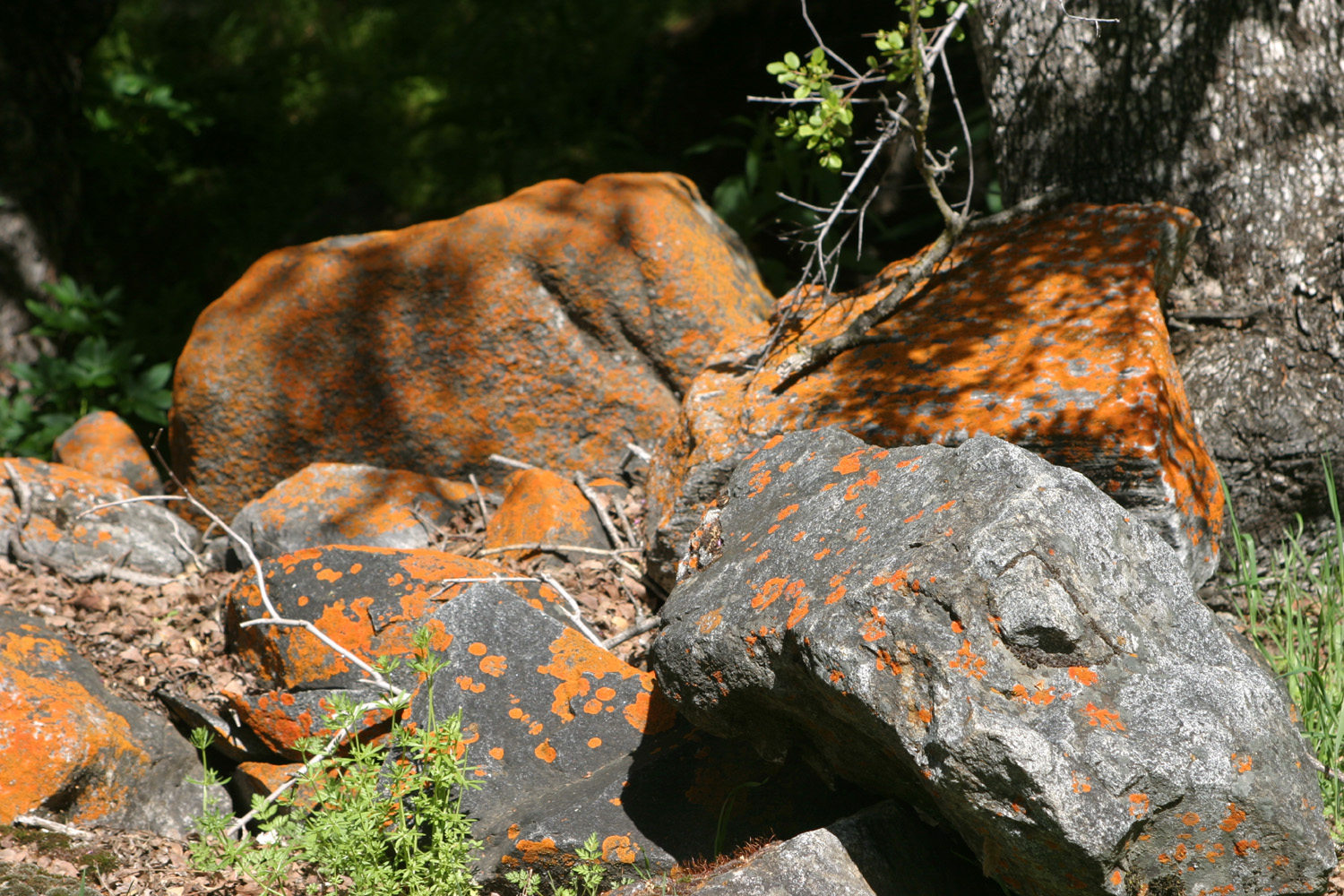
| San Joaquin River at Friant | Orange lichen on
rock near Kings River, Garnet Dike Road |
Frosty morning near Oakhurst |
 |
 |
 |
| Fall color at Pine Flat Camp | Pine Flat Dam | Pine Flat Dam & Kings River |
 |
 |
 |
| Snow near Highway 58 east of Bakersfield | Snow on Deadwood Mountain from Hensley Reservoir | Redinger Lake on the San Joaquin River |
 |
 |
 |
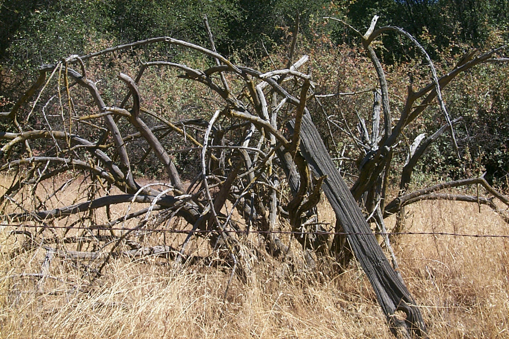
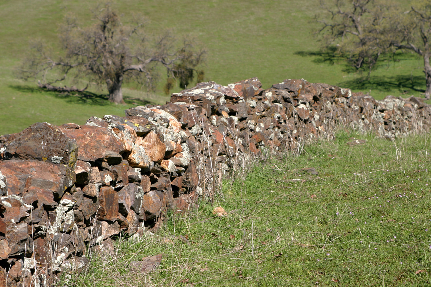
| Rock wall, Ben Hur Road, Mariposa County | Close-up of wall | Spring in Ben Hur |
 |
 |
 |
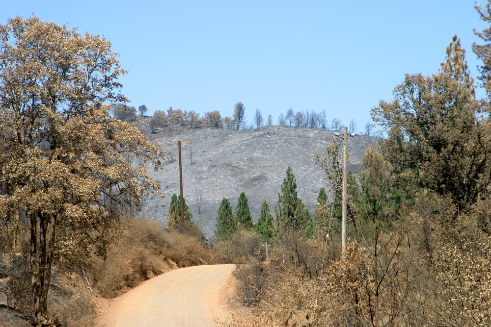
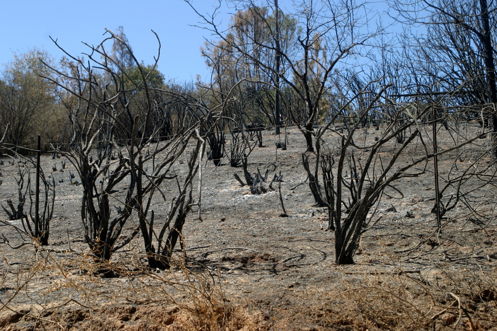
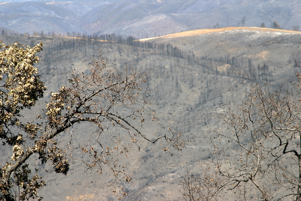
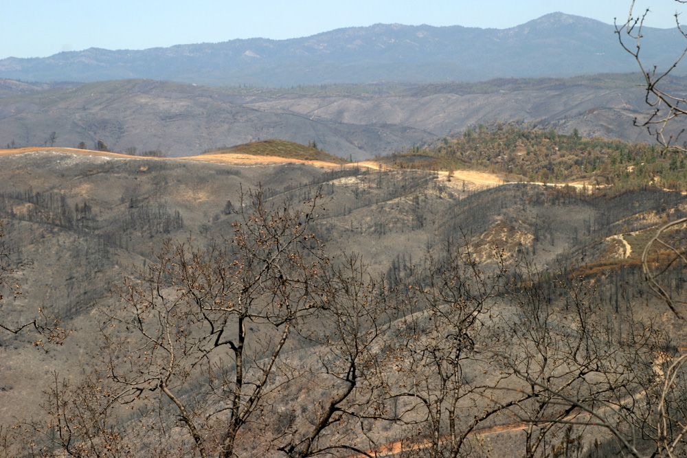
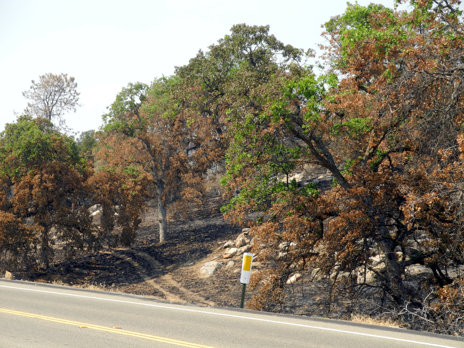
| Scenes from the Telegraph Fire, Mariposa County, July 2008 | ||
 |
 |
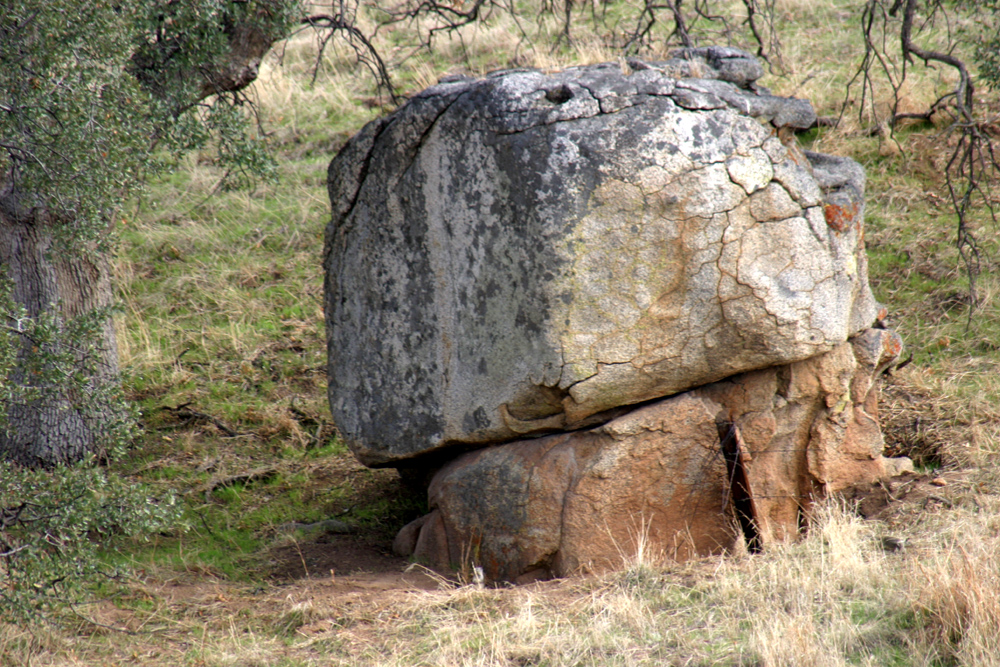 |
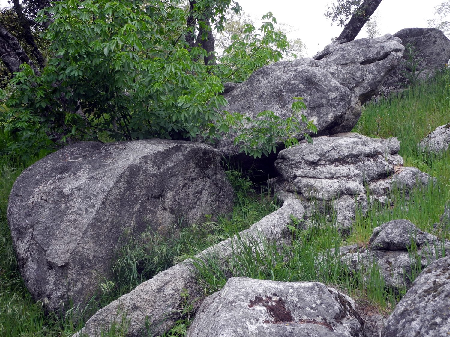
| More Telegraph | Looking toward the Merced River Canyon | Split
boulder at Hensley Reservoir, Madera County, CA |
 |
 |
 |
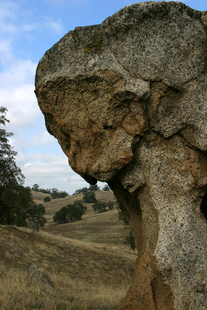
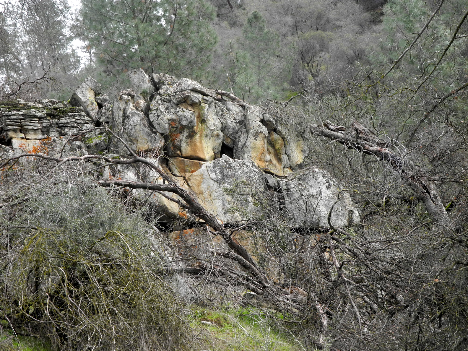
| Mushroom rock near Hensley Reservoir | Close to the rock | Fractured rock near Hensley |
 |
 |
 |
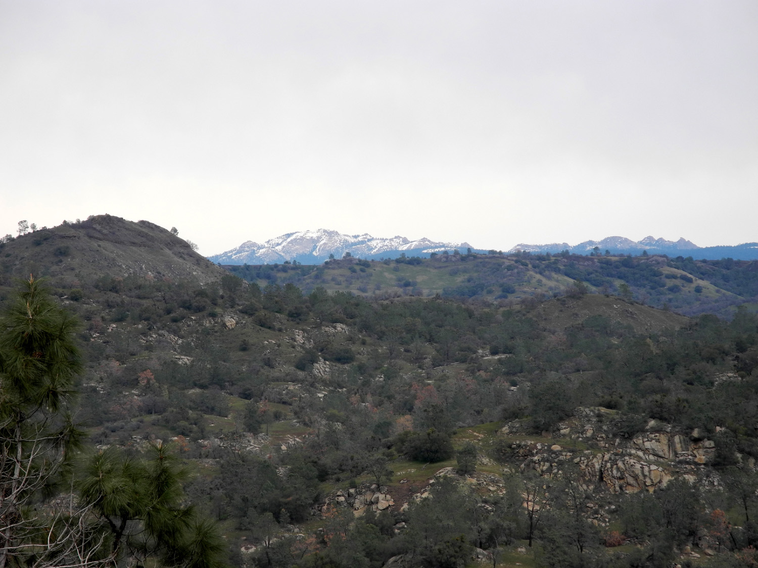
| A distant view of Deadwood | Signal Peak from Hensley | Snowy
mountains south of Yosemite, seen from Hensley |
 |
 |
 |
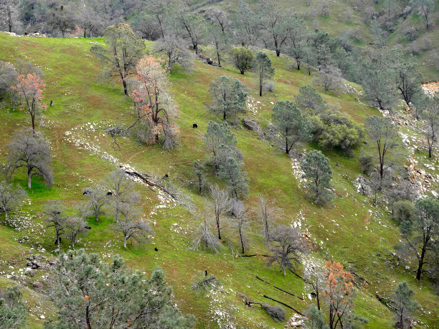
| Snow on the lower foothills | The fenced off park area contrasts with grazing land | Hensley Lake and road to boat ramp |
 |
 |
 |
| Hensley Reservoir | A view from above the campground | Rocks and oaks near Hensley |
 |
 |
 |
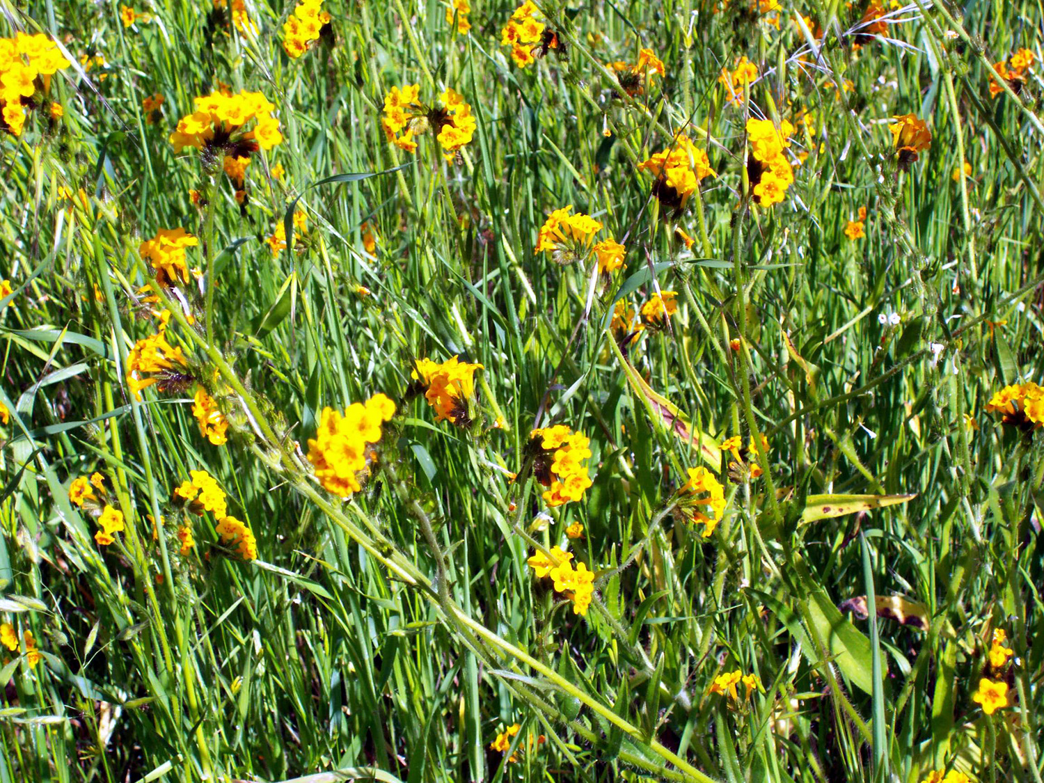
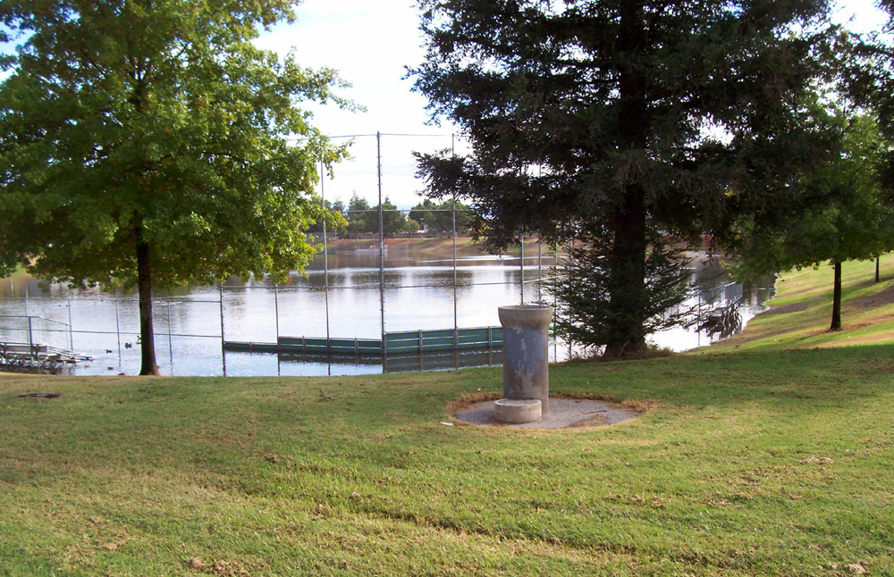
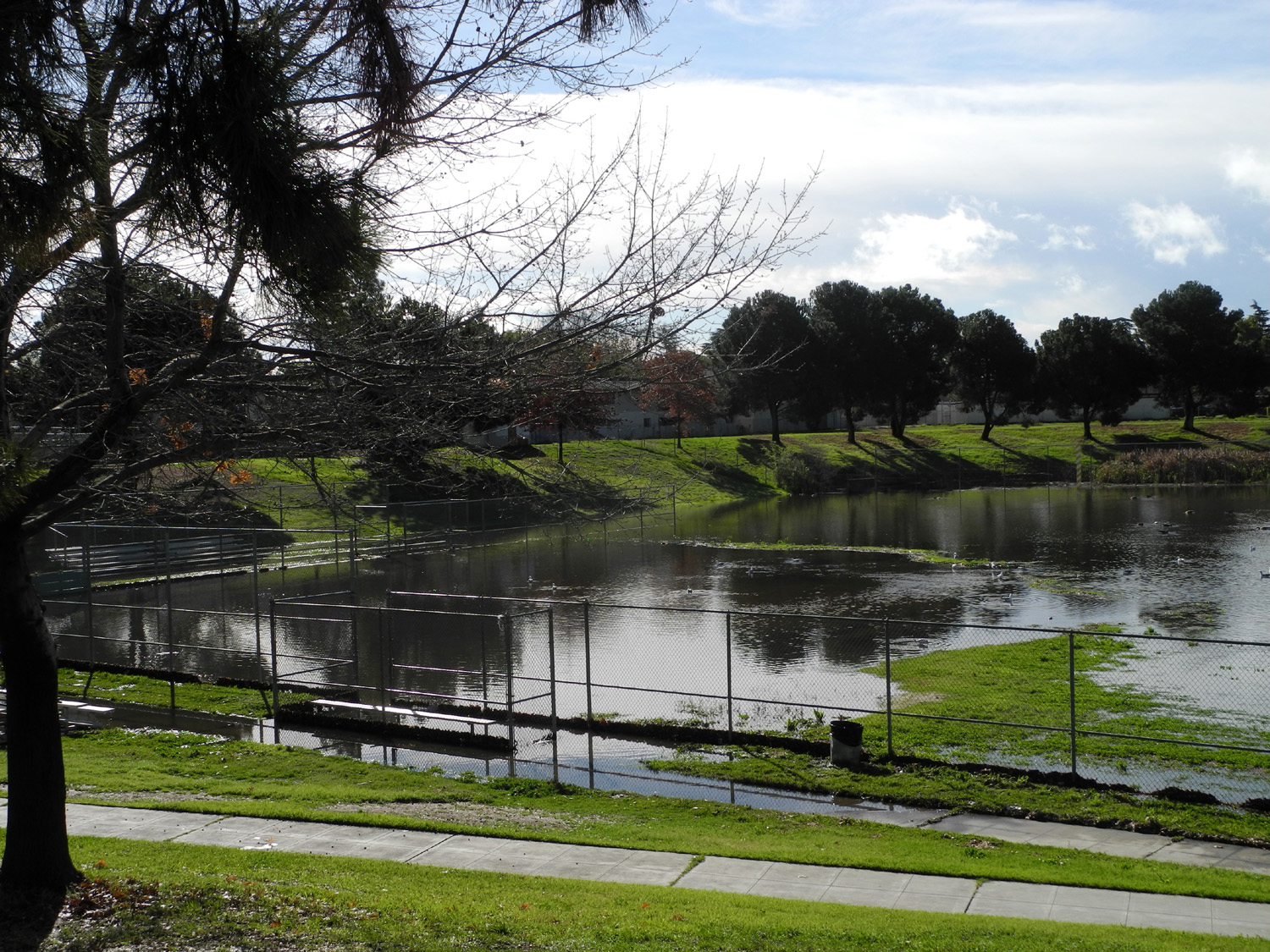
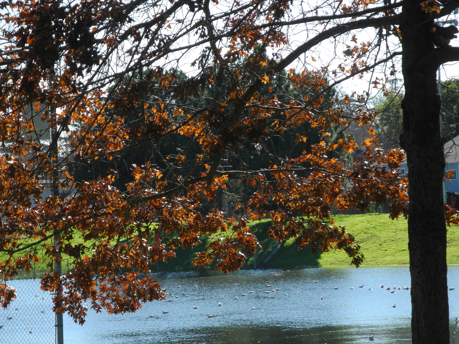
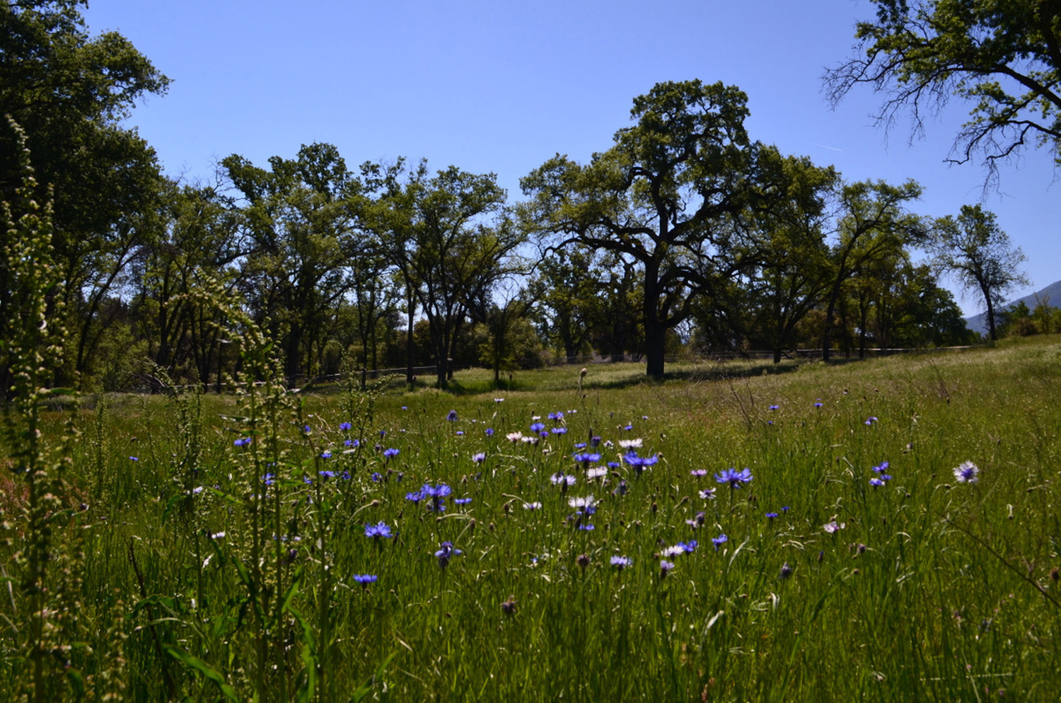
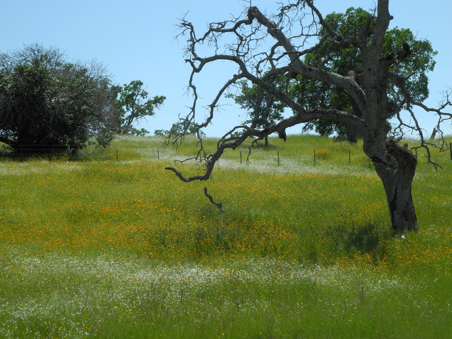
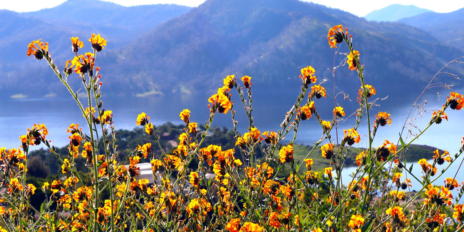
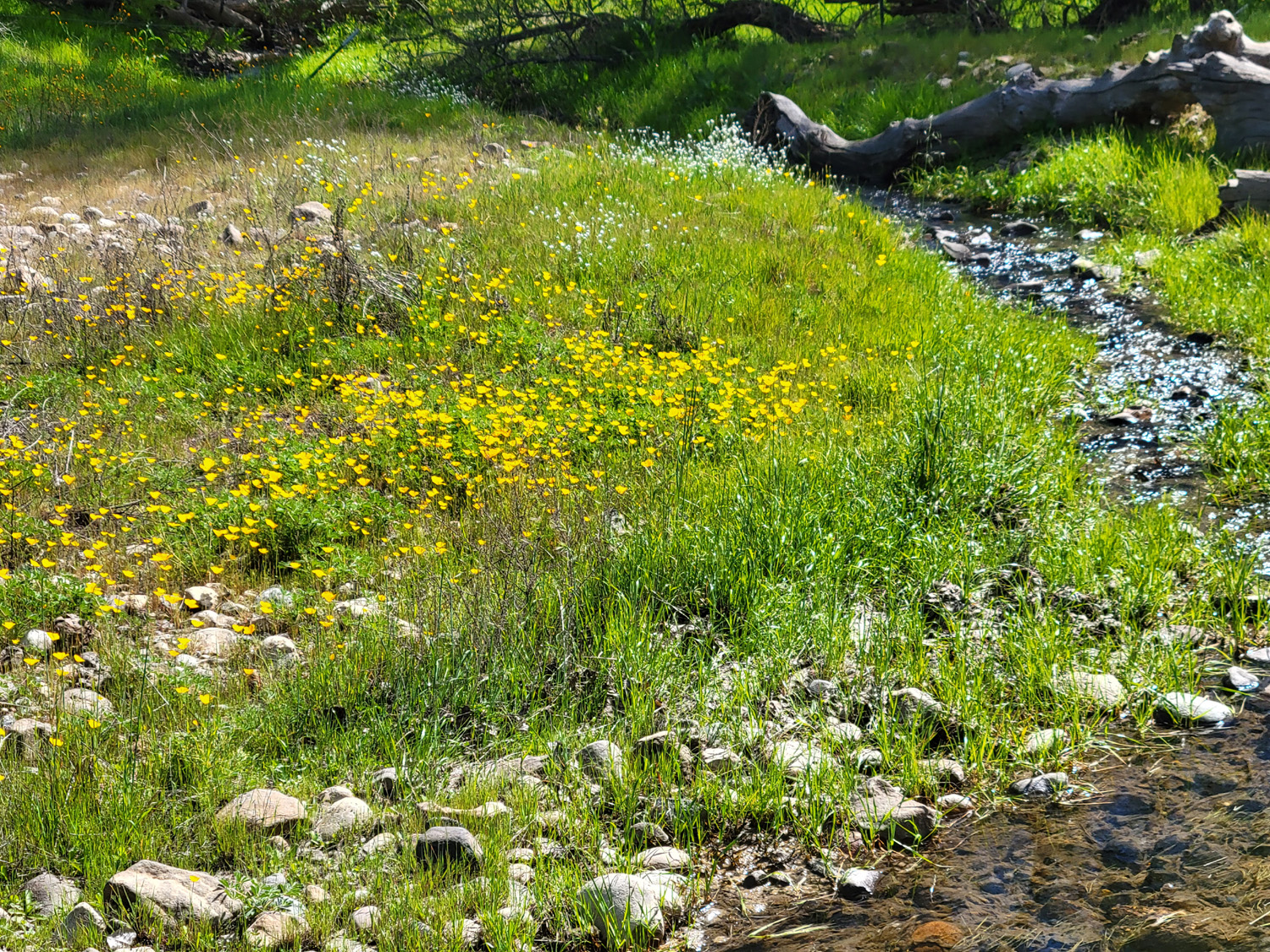
| Fiddlenecks brighten the Sierra foothill landscape | Rotary Park in Clovis also serves as a catch basin for storm runoff |
Ducks in the dugout |
 |
 |
 |
| A good buckeye crop | Pine Flat reservoir from above Sky Ranch Road | Frost-covered spider web above Oakhurst (Jennifer Neely photo) |
 |
 |
 |
|
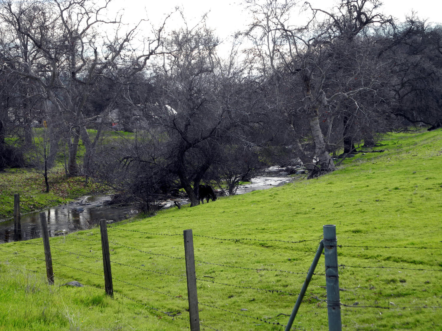
Rancheria
Creek by Ben Hur |
Buckeye and lichen-covered rock by Rancheria Creek | Oaks and grass by Old Highway, Mariposa CA |
 |
 |
 |
|
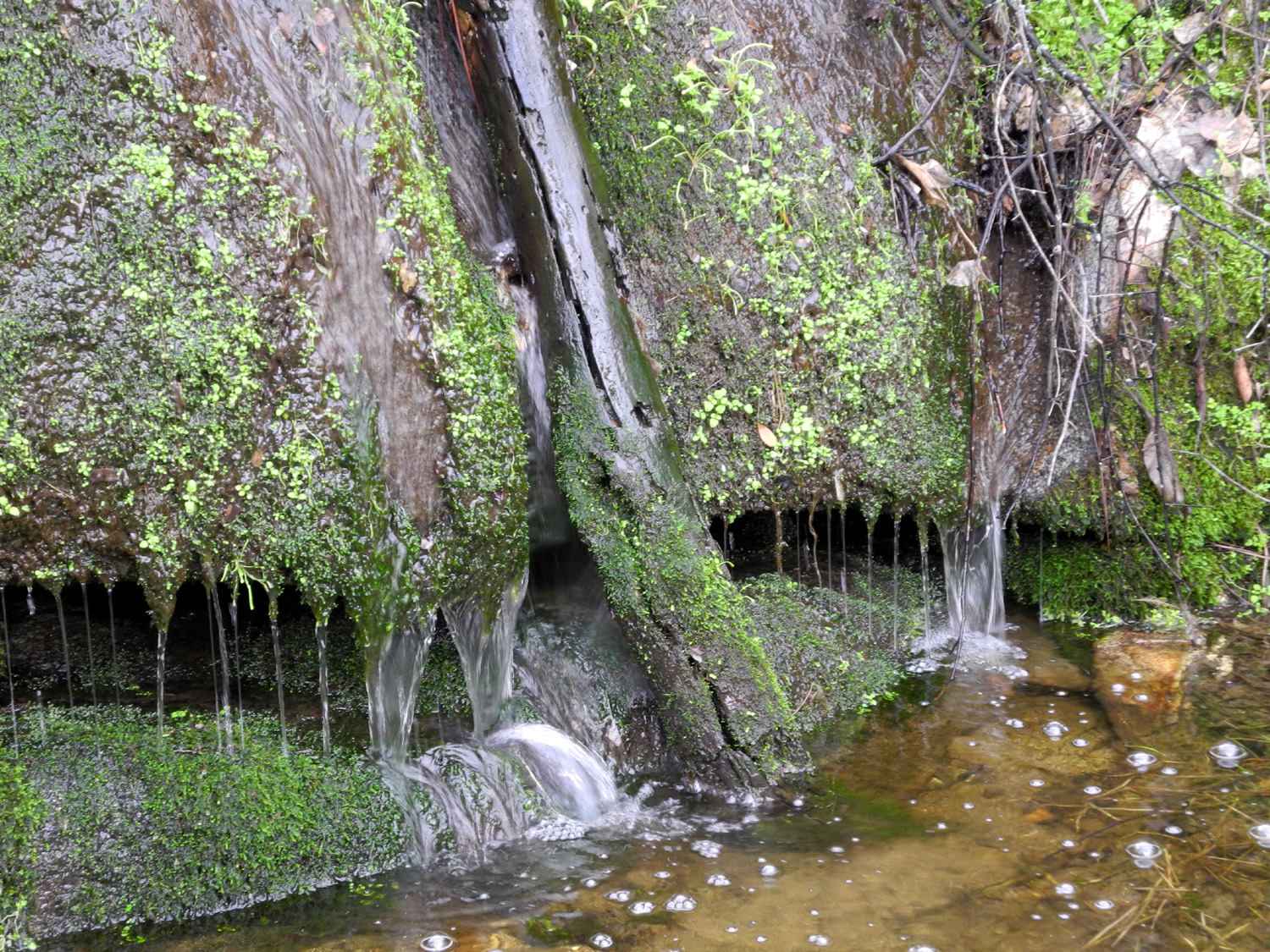
Falls
on Pegleg Creek near |
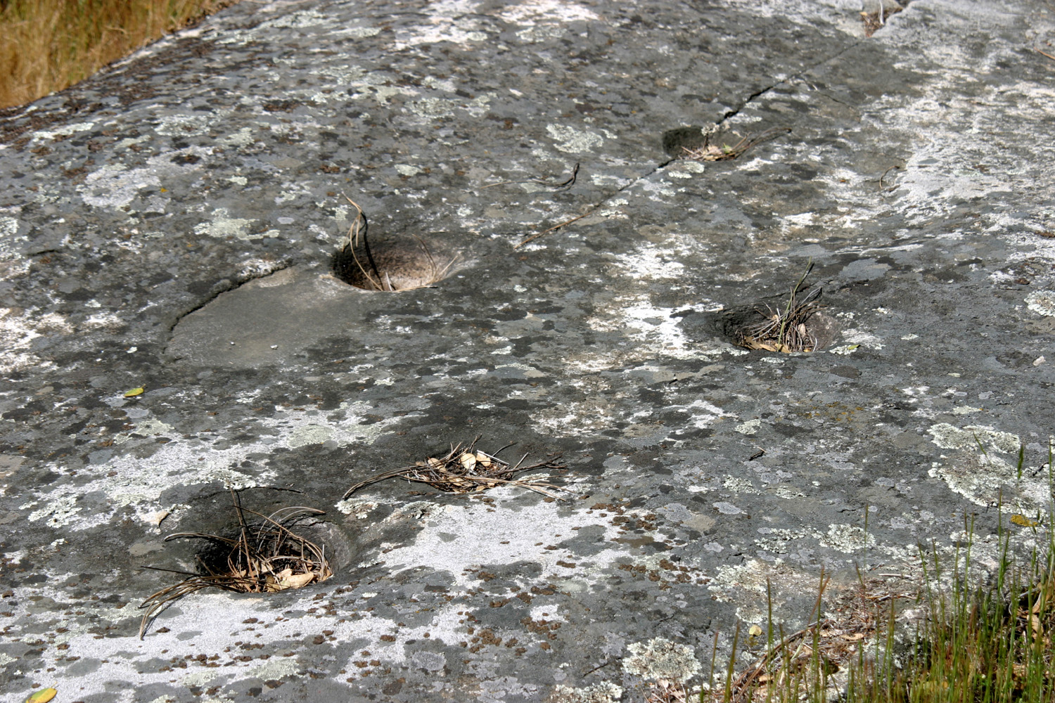
Indian grinding holes in granite above the falls | The rock seems to be holding the oak in place |
 |
|
 |
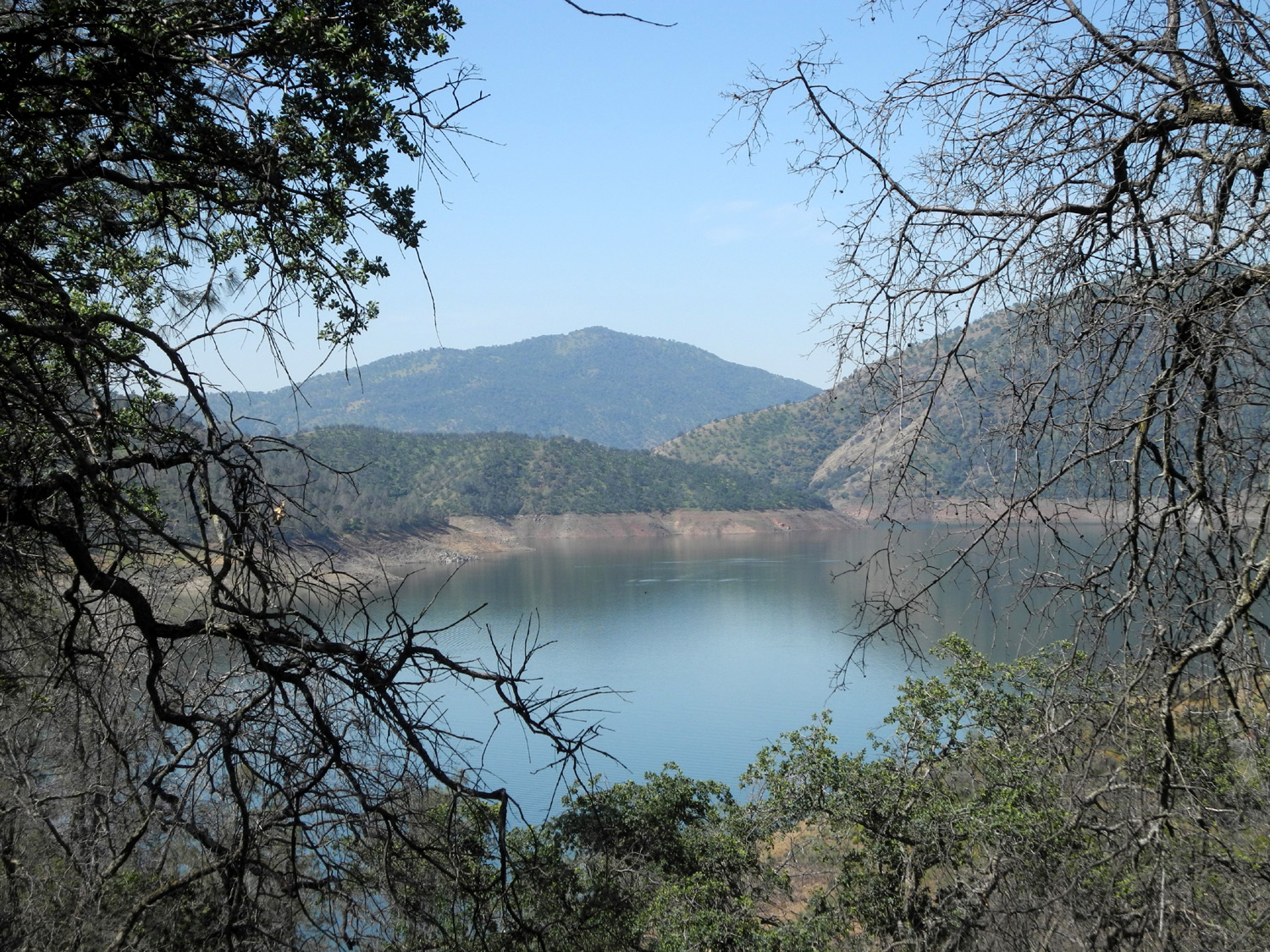
| Shuteye Peak & Eagle Beaks above San Joaquin River | Hensley Reservoir, Madera County | Side hill oak near Lake Millerton, Fresno County |
 |
 |
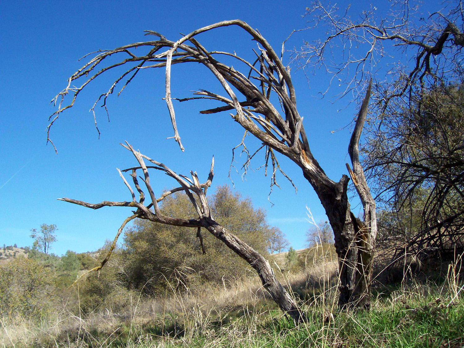 |
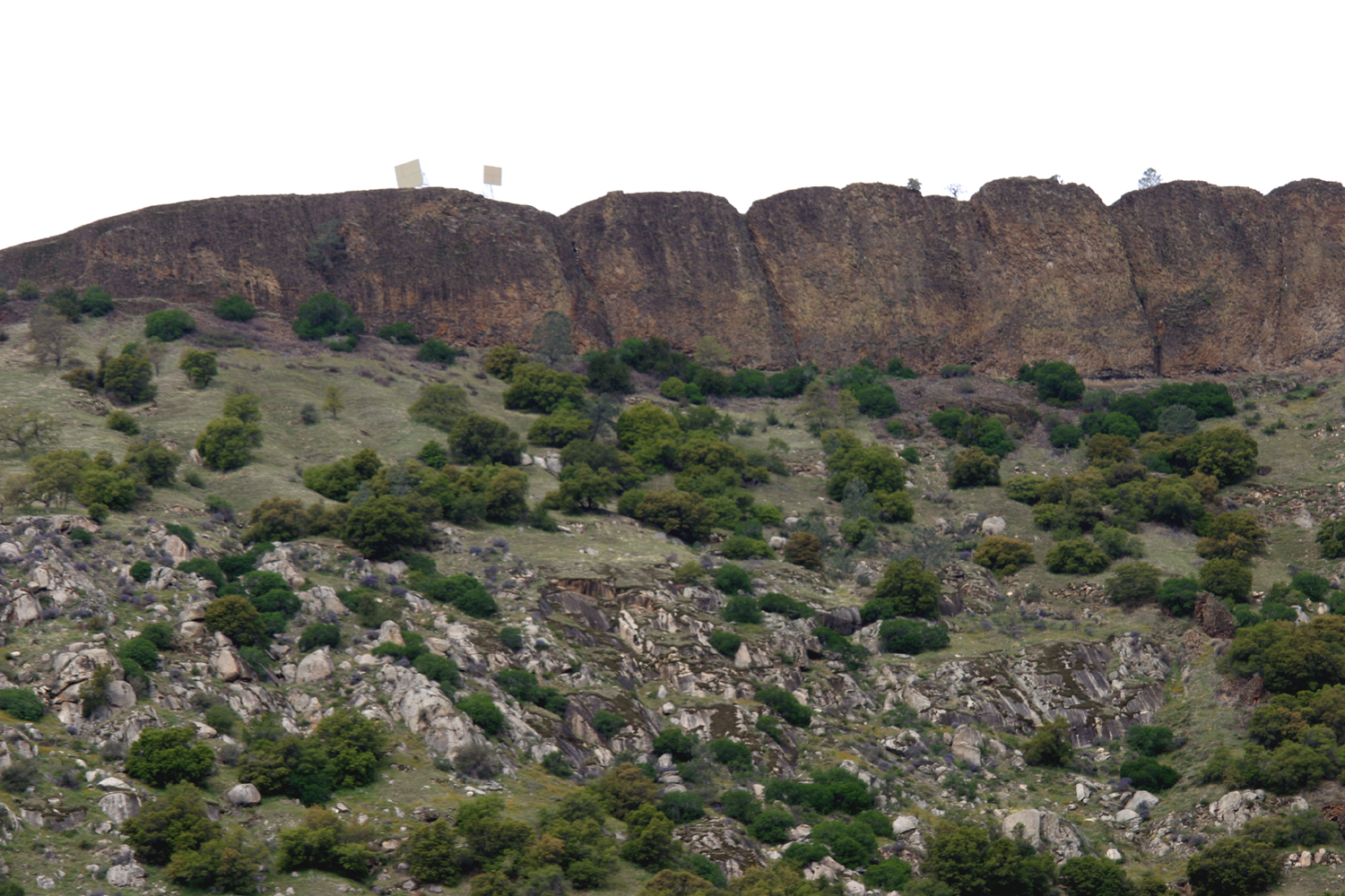
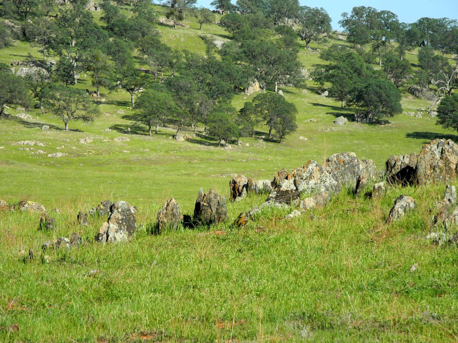
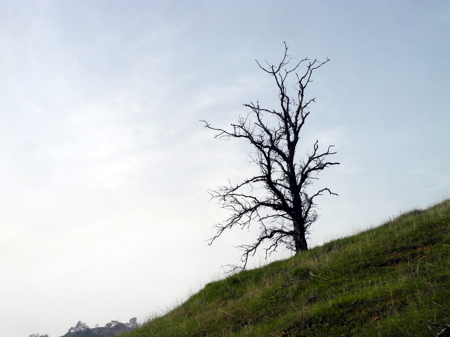
| Split rock at San Joaquin Gorge (Squaw Leap) | Big Table Mountain from Auberry Road, Fresno County | Dead tree by Auberry Road |
 |
 |
 |
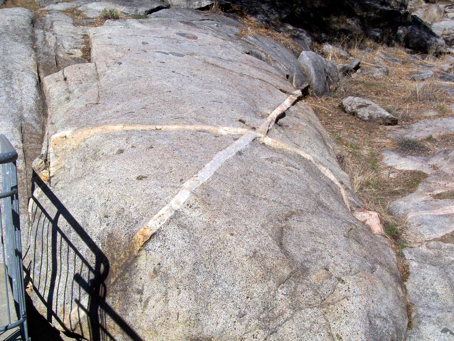
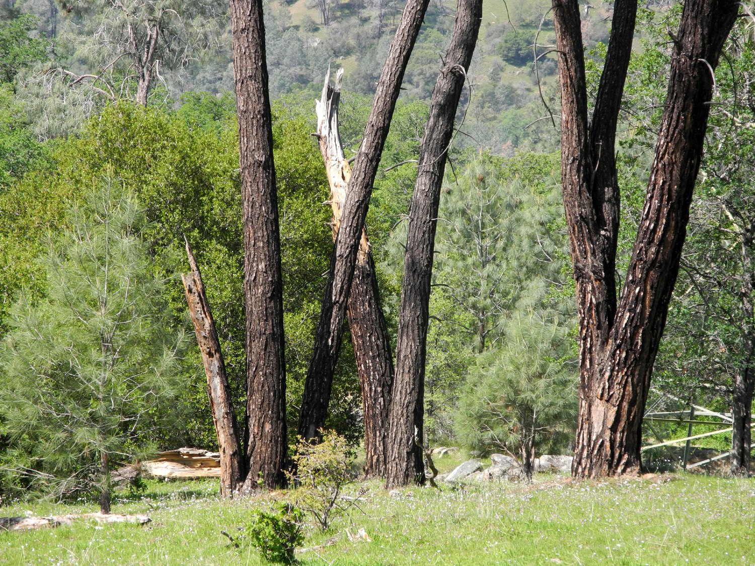
| X marks the spot | Kennedy Table, north of the San Joaquin Gorge | Another view |
 |
 |
 |
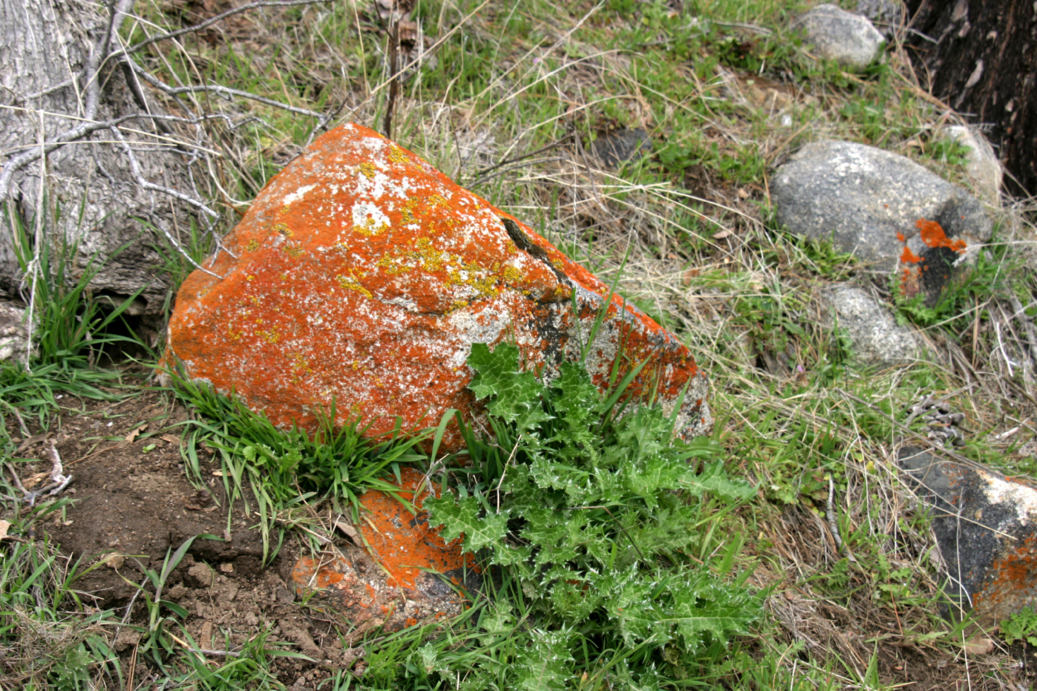
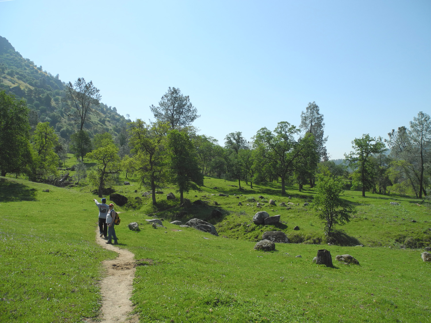
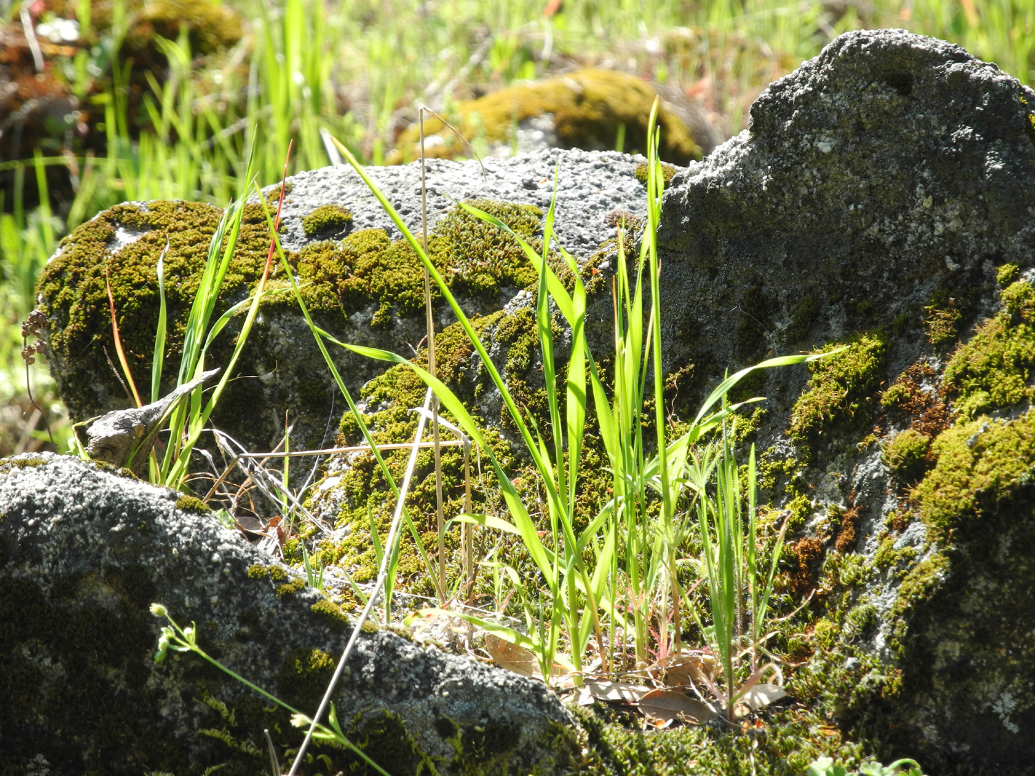
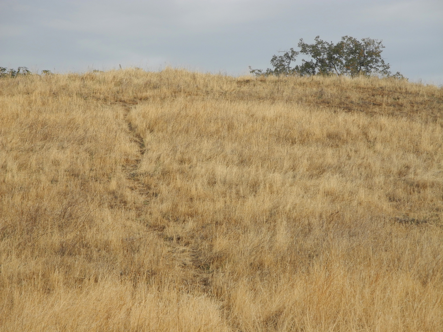
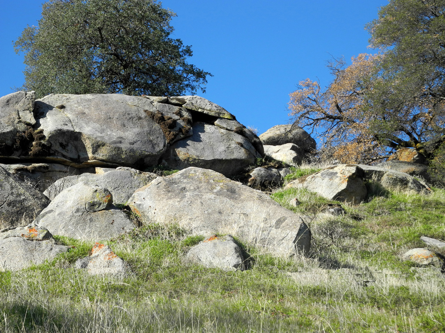
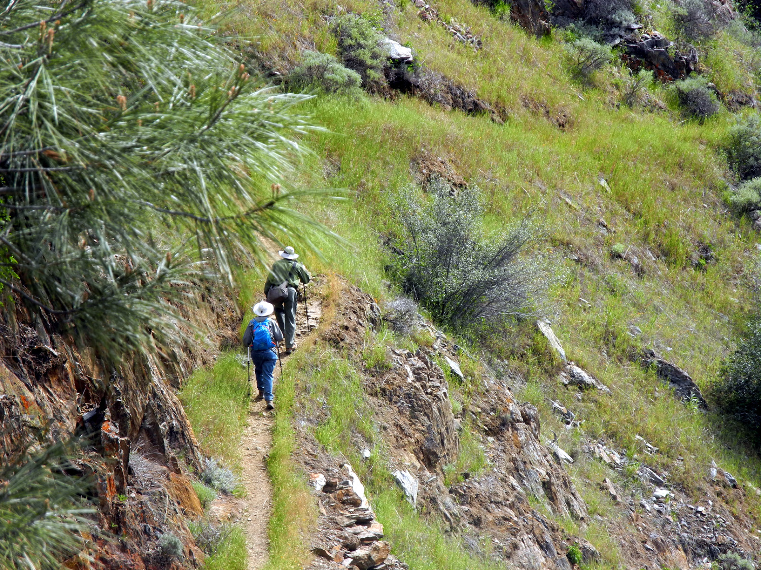
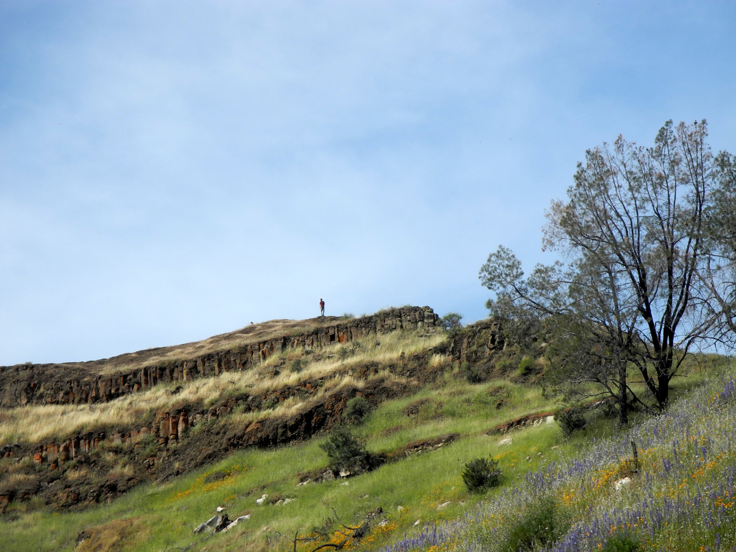
| A path well-traveled | Lichen-covered rock and young thistle plant | A knob of harder rock resists weathering |
 |
 |
 |
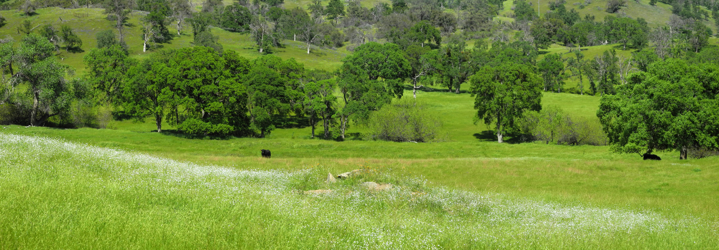
| Big Table Mountain from San Joaquin Gorge | Finegold Bay, Millerton Lake | Black cattle, green grass,
grey pines and white rocks by the San Joaquin Trail |
 |
||
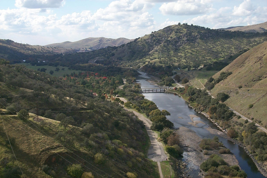
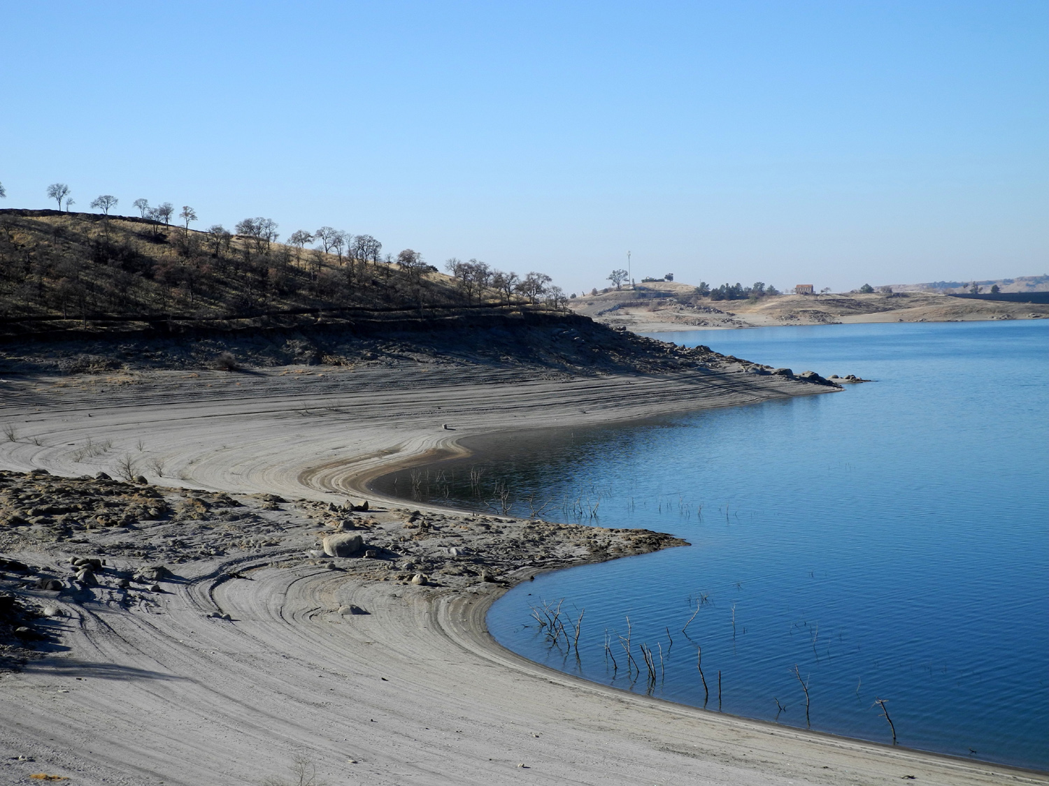
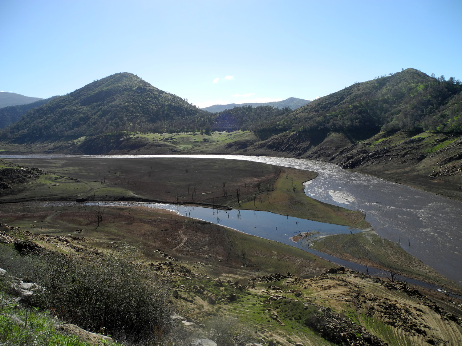
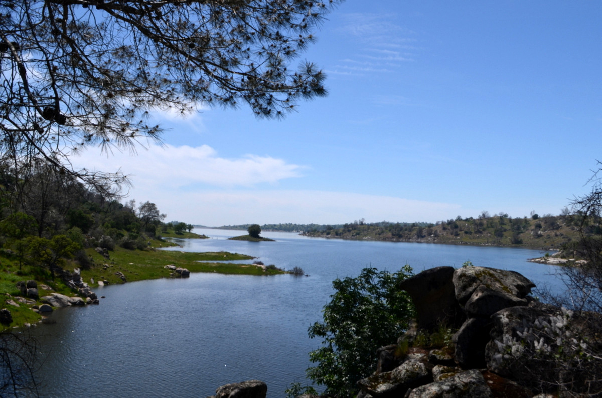
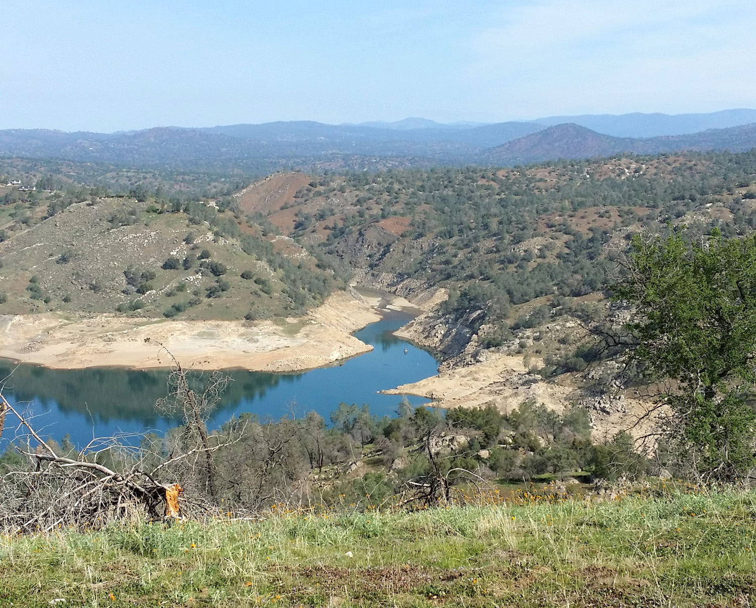
| Horseshoe bend, Millerton Lake, Fresno County CA | ||
 |
 |
 |
| Shuteye Peak and Eagle
Beaks, above the upper San Joaquin, viewed from the San Joaquin Trail |
Creek bottom by Road 400, Madera County CA | A closer look |
 |
 |
 |
| Grazing land by Road 400 | Ranch on Road 400 | Another Road 400 scene |
 |
 |
 |
| New
and old grass with oaks and Hensley Lake as a backdrop |
Bull pines (AKA digger pines) at San Joaquin Gorge | San Joaquin
River Trail, near the San Joaquin River Gorge parking lot |
 |
 |
 |
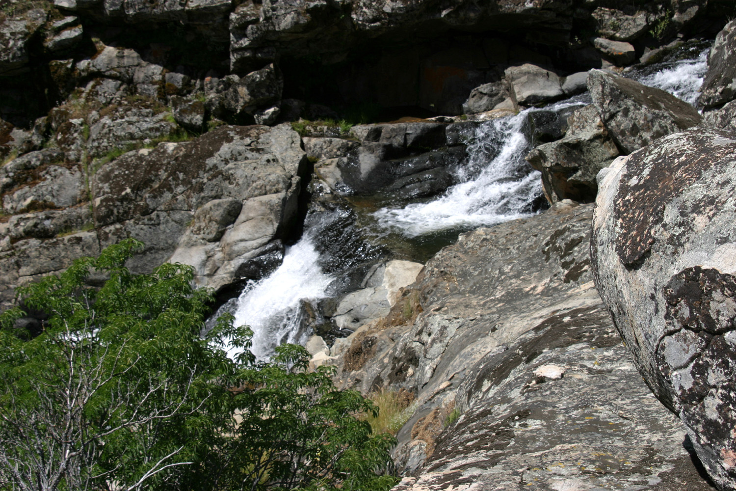
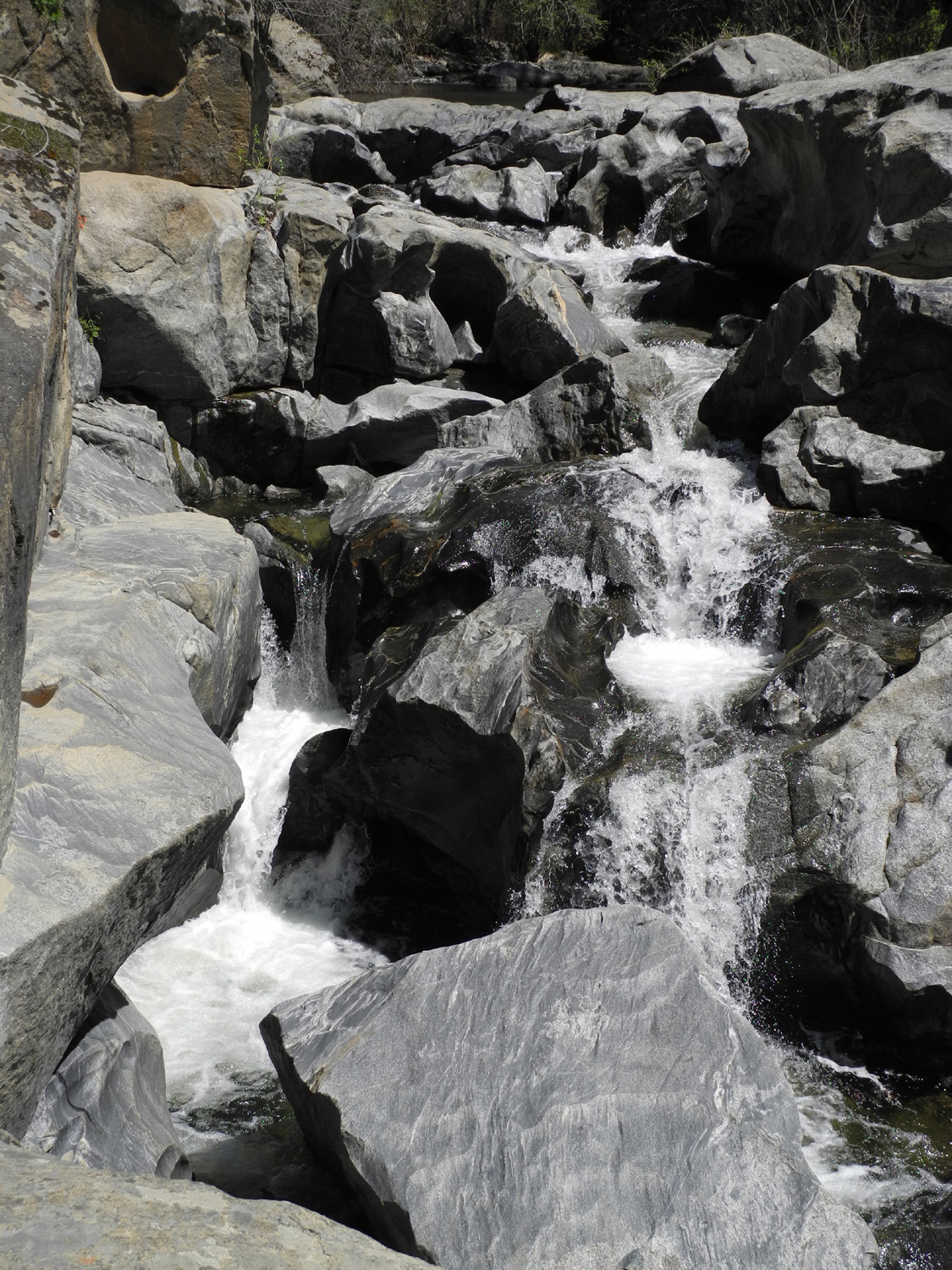
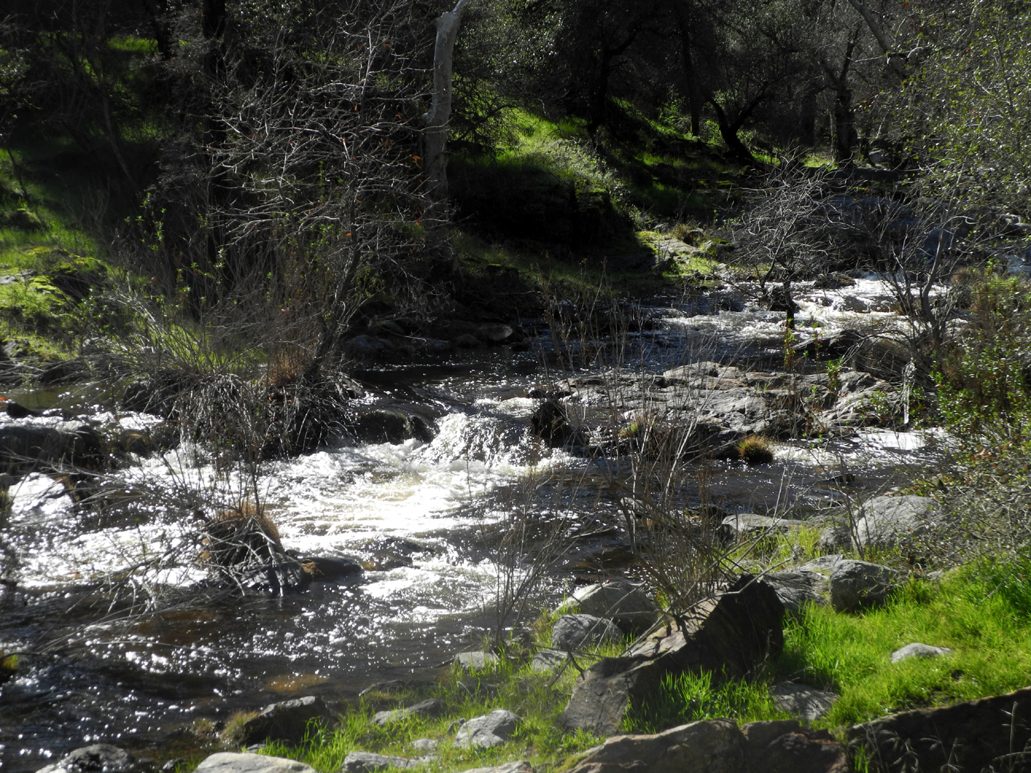
| Nature's landscaping | Cascades on Big Creek,
north of Pine Flat Lake, Fresno County |
A more peaceful section of Big Creek |
 |
 |
 |
| Another typical section of Big Creek | We call this old
structure next to Big Creek "The Guardhouse" |
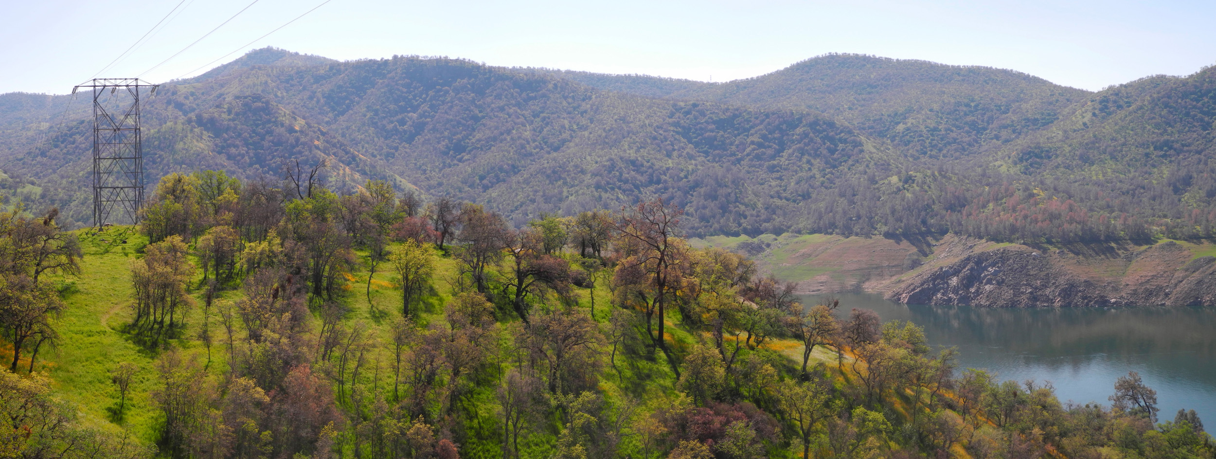
View to the south into Big Creek drainage from near Blue Canyon |
 |
 |
 |
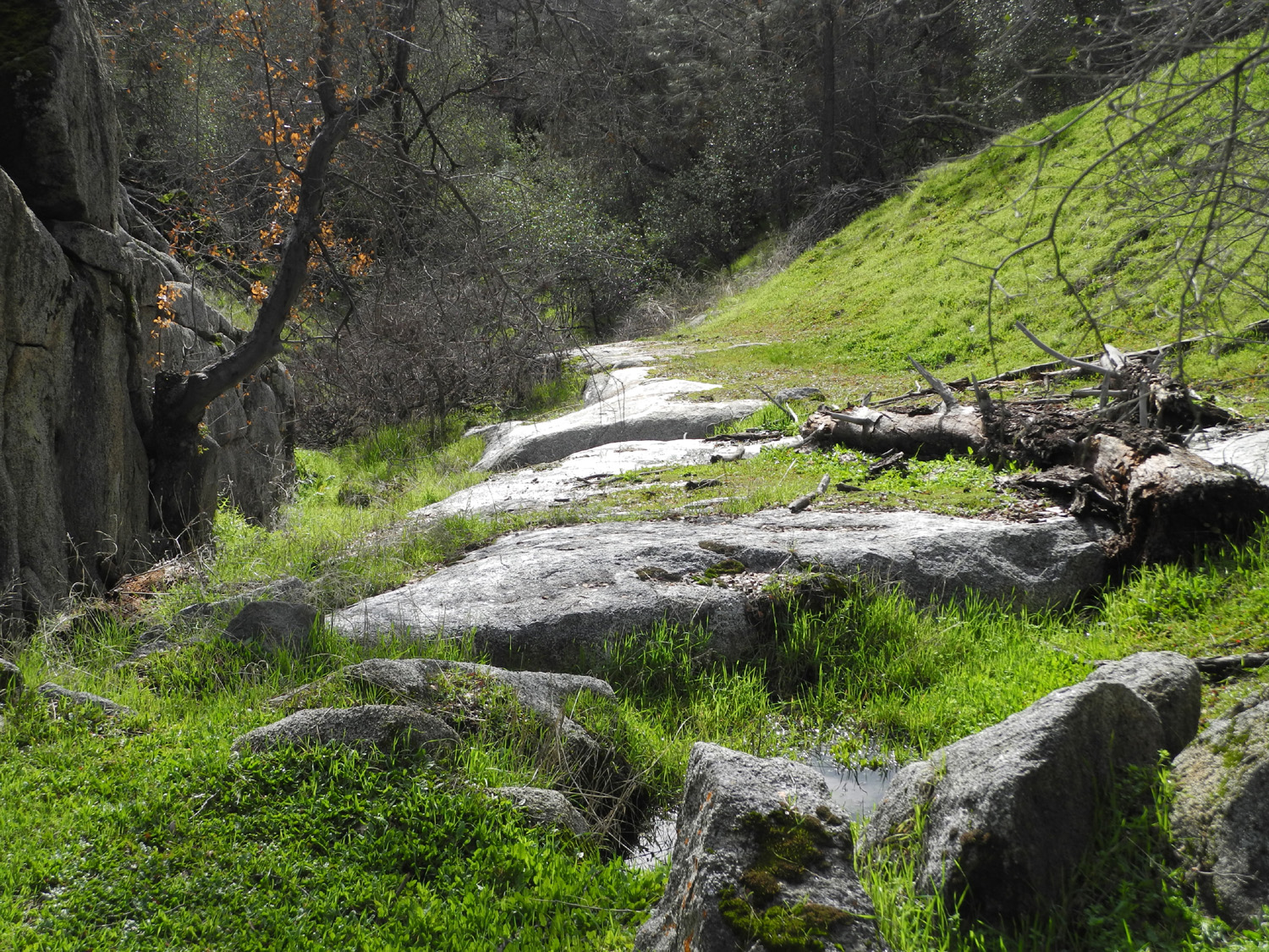
| Flowers on hills above Big Creek near Pine Flat | Water has worn a
path down these rocks by Road 620 in Madera County |
Signal Peak, above the
south fork |
 |
 |
 |
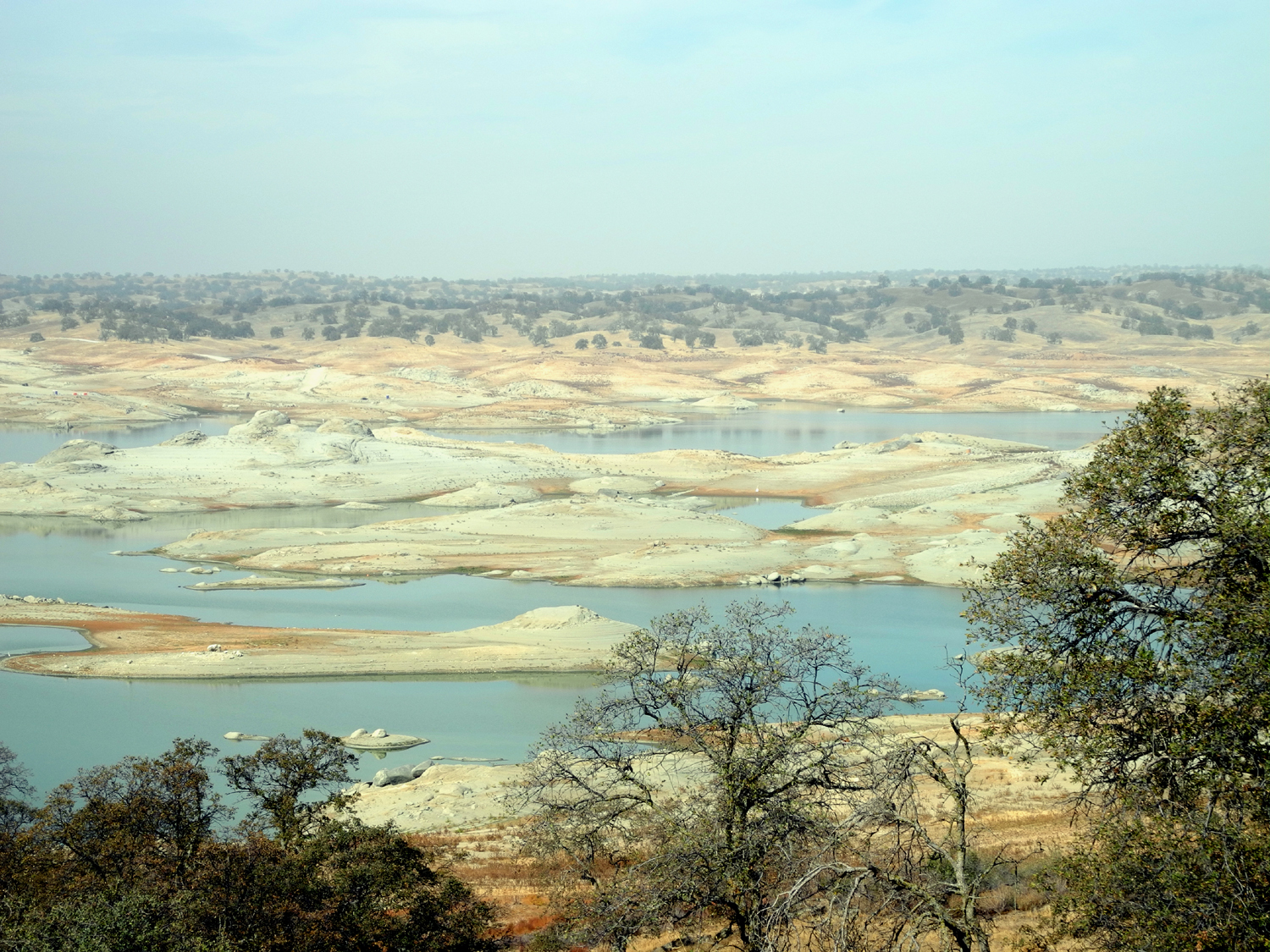
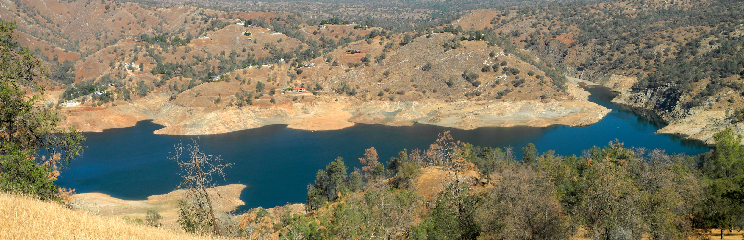
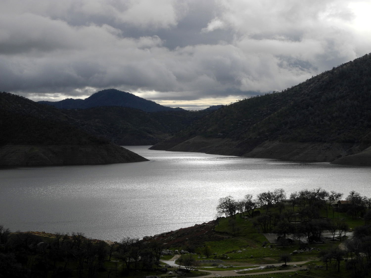
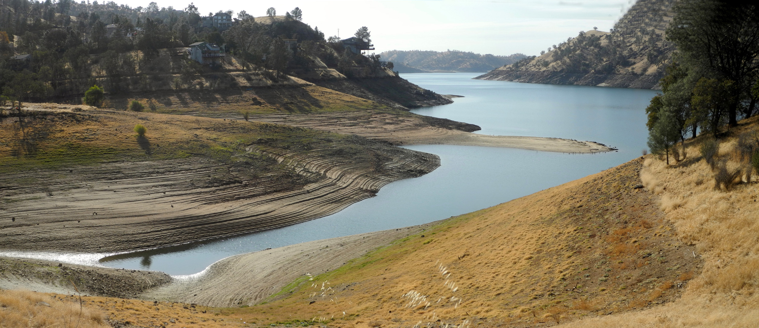
| Hensley Lake after two years of below average rainfall | I call this Rabbit Rock, because I always see one by it | And here he is! |
 |
 |
 |
| Game trail near Henley Lake | Windmill and shed southeast of Le Grand CA | Windmill
and barn on White Rock Road, Merced County |
 |
 |
 |
| Along Whtie Rock Road, Mariposa County | A long, lonesome road | The White Rock Cemetery |
 |
 |
 |
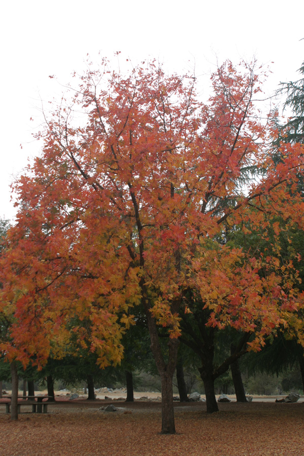
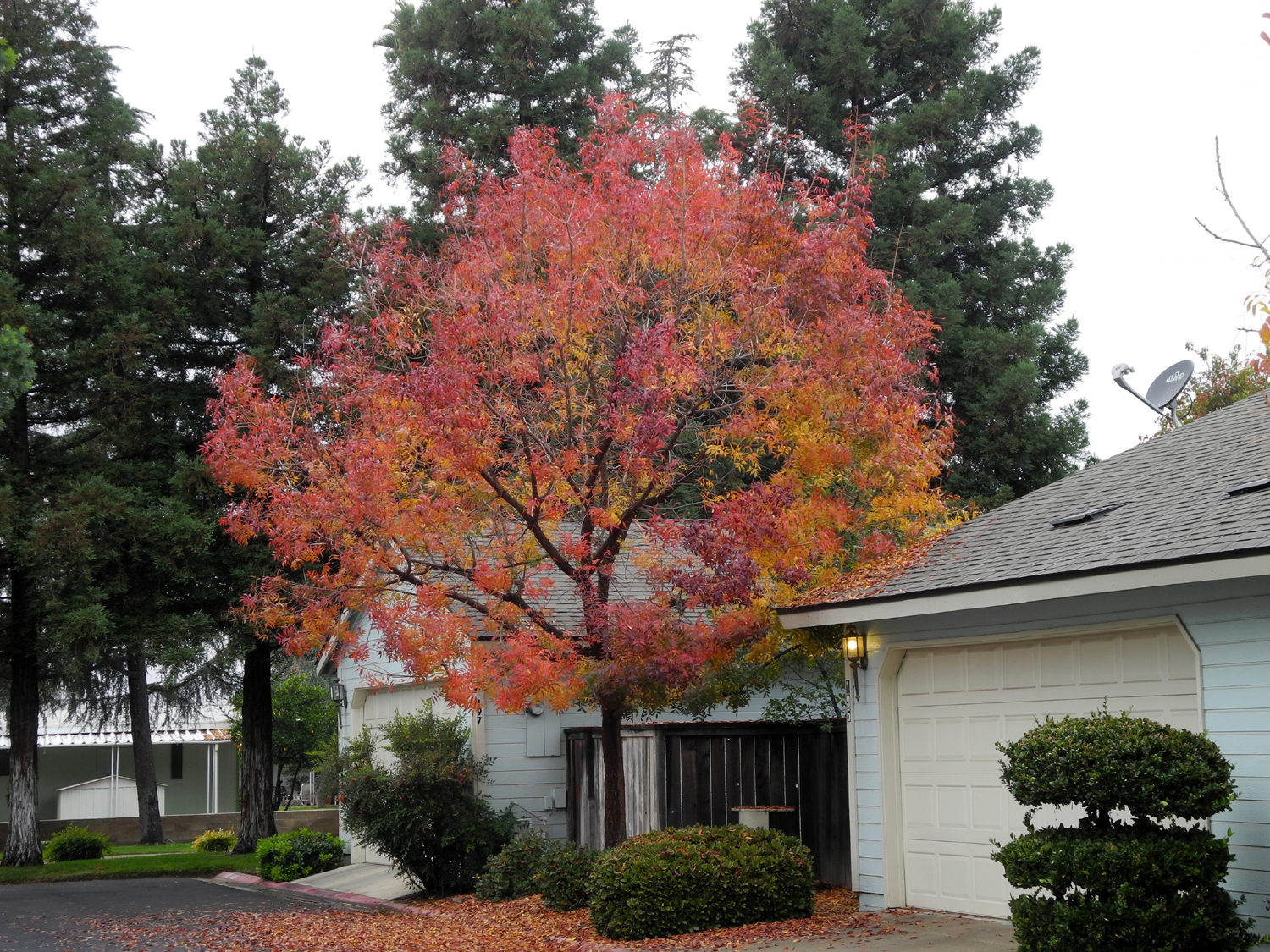
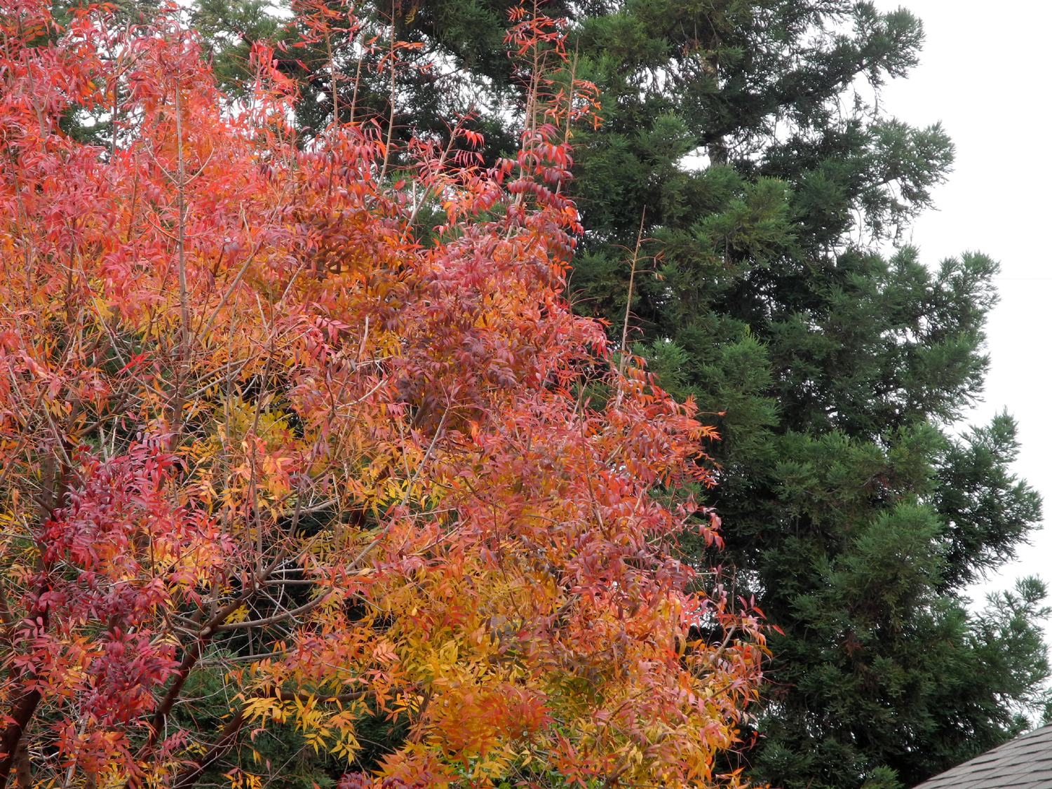
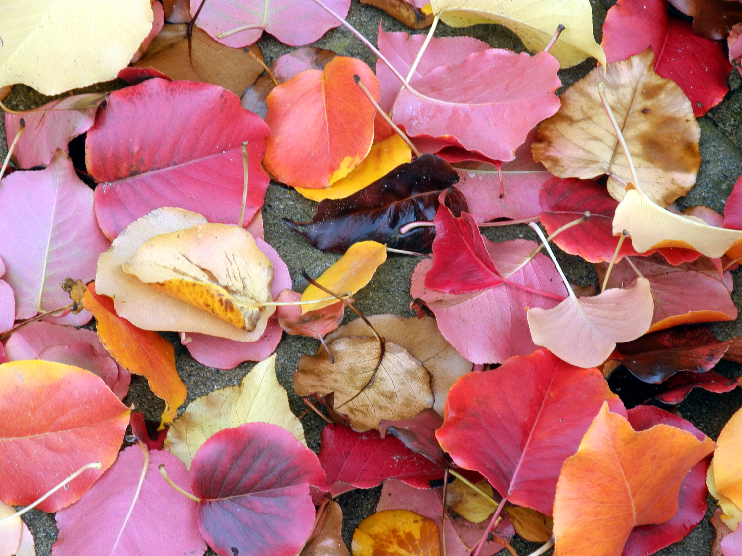
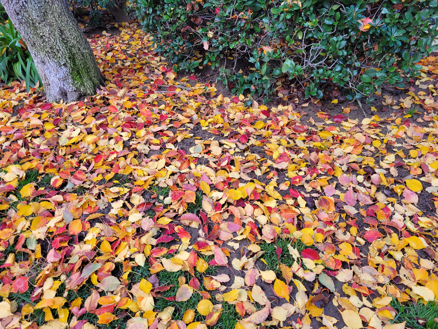
| Fall in Clovis | Nice contrast between deciduous and evergreen | A colorful carpet |
 |
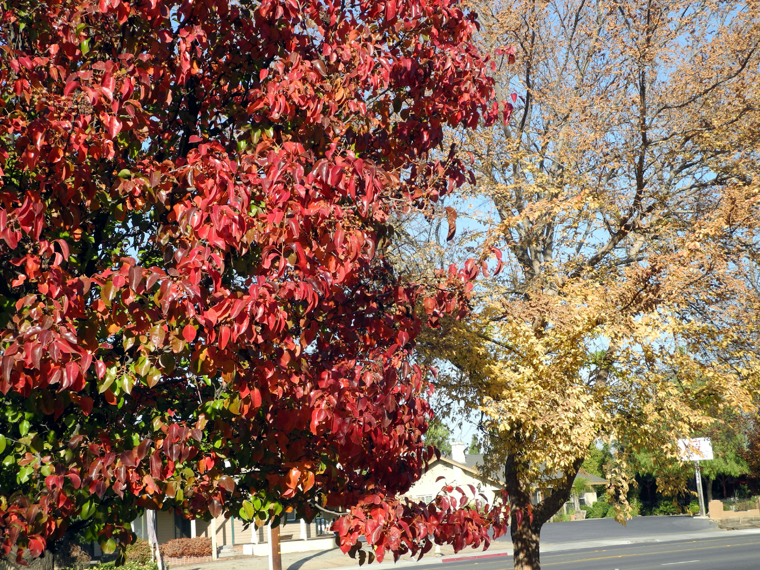 |
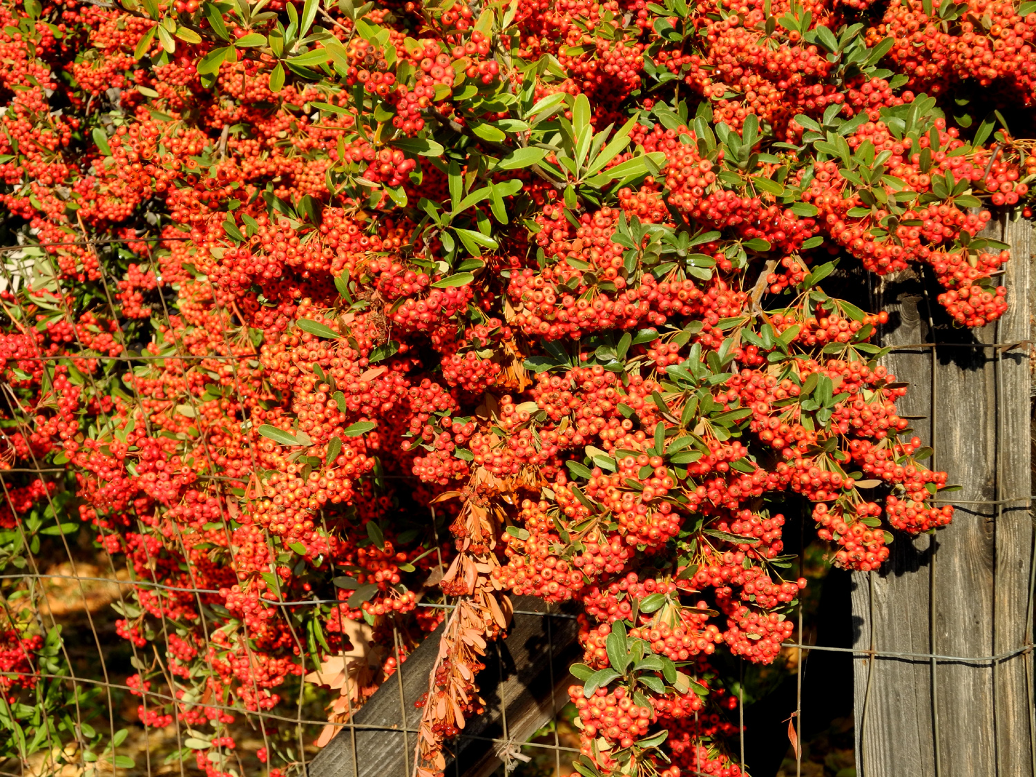 |
| A closer look | Red and yellow leaves | Pyracantha in December |
 |
 |
 |
| Snow
below 1,000 feet elevation is visible from downtown Clovis |
Along the Clovis Trail system | Millerton Lake
and Friant Dam with Little Table Mountain in the background |
 |
 |
 |
| Shuteye Peak and Eagle Beaks on the horizon above Millerton Lake |
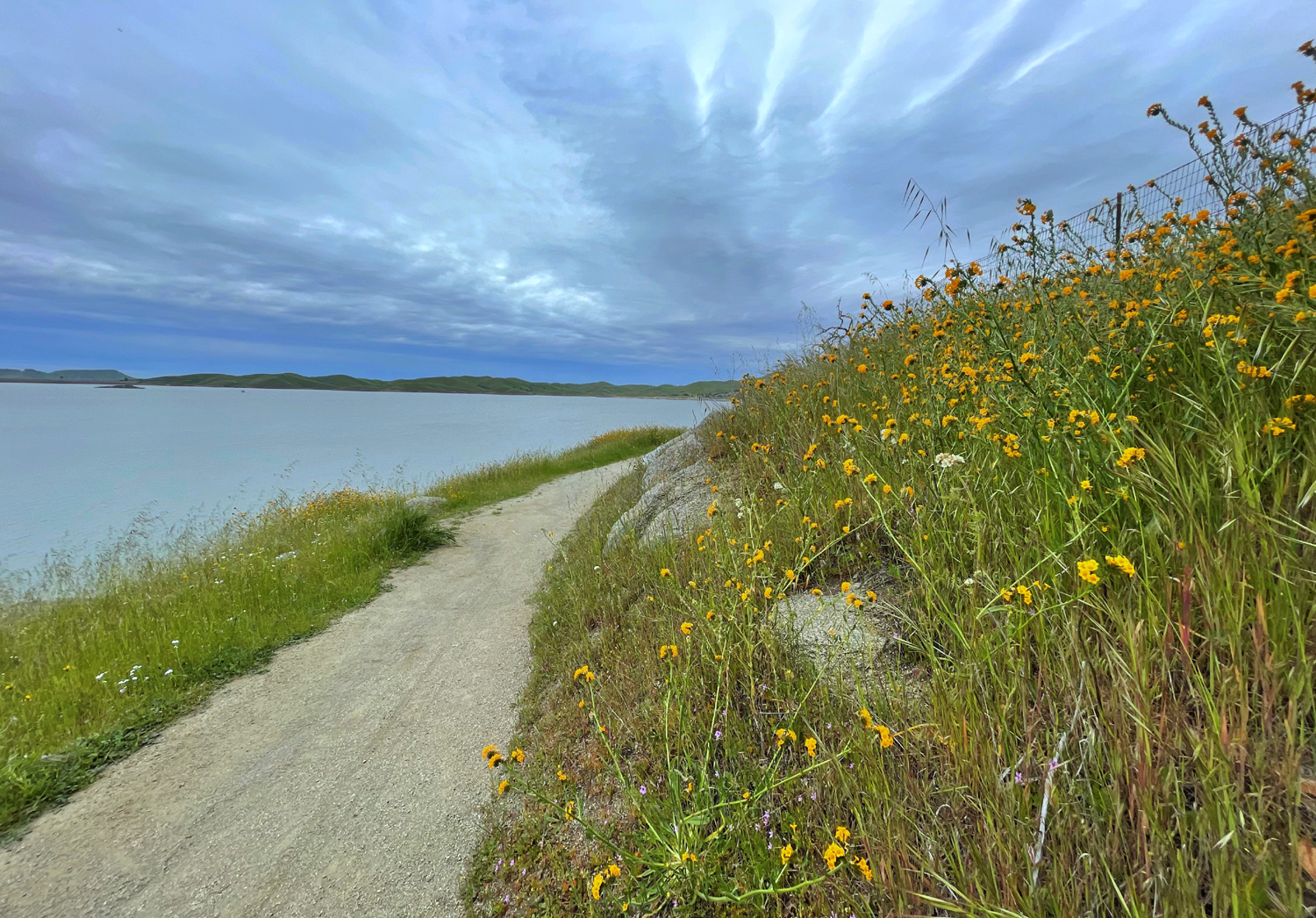
A typical section of the South Bay Trail at Millerton | "Fisherman's Trail" below the South Bay Trail |
 |
 |
 |
| Water-sculpted beach at Millerton Lake | Rock by the South Bay Trail | Squaw Leap table top mountain just after sunset |
 |
 |
 |
|
A section of
Hite's Cove Trail, |
South Fork, Highway 140 bridge, and main Merced River (by Wes Thiessen) |
Poppies along Hite's Cove Trail |
 |
 |
 |
| Poppies and the river | Chemise brush and rugged hills of the Merced drainage |
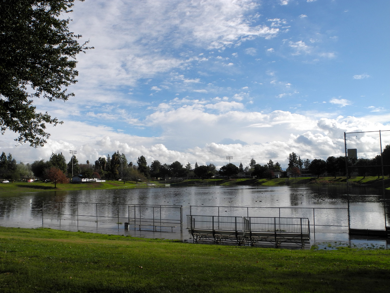
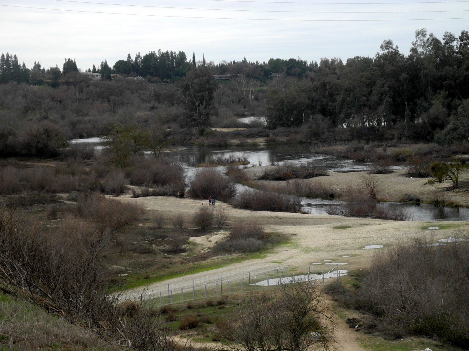
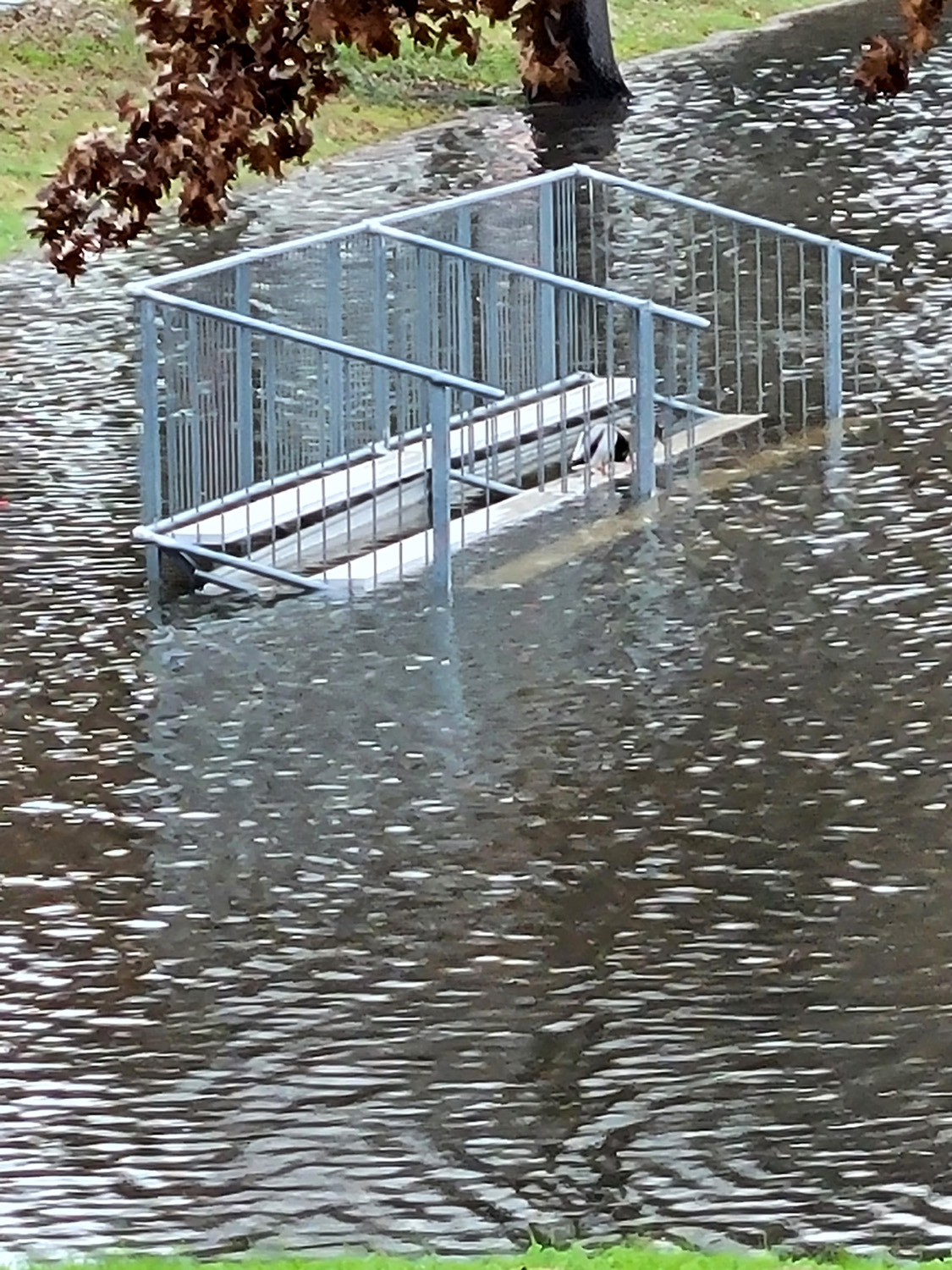
Rotary Park flood basin, February 28, 2014 |
 |
 |
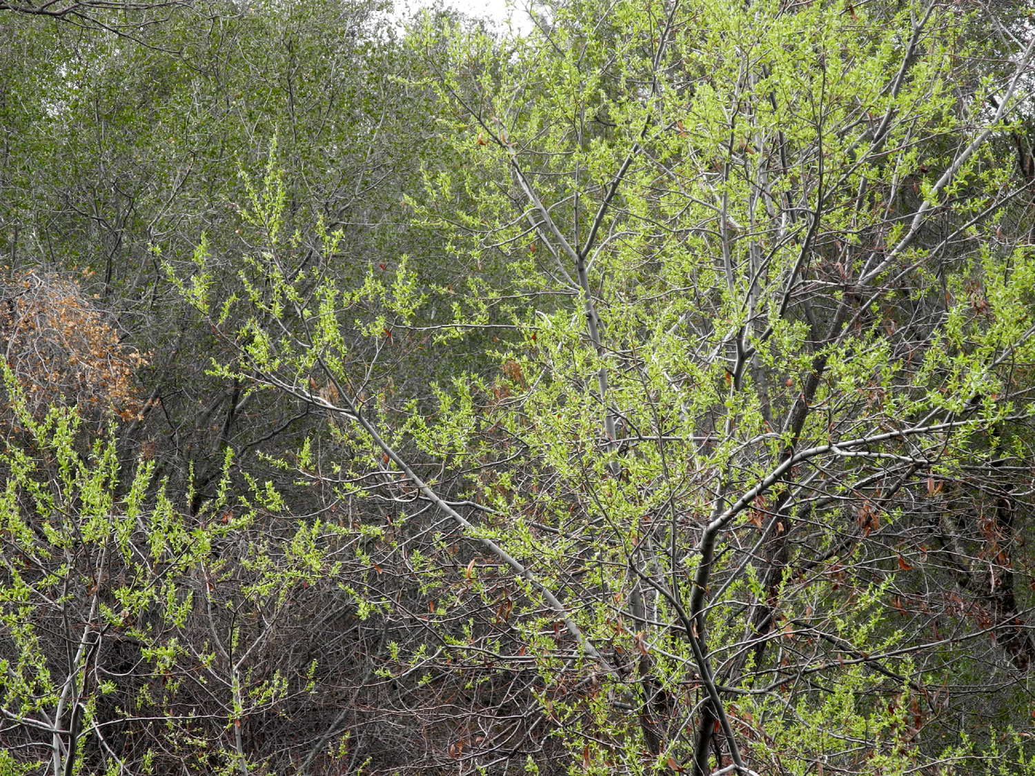 |
| Geese enjoying the wet weather | The infield is too wet to play on | New green leaves in San Joaquin Gorge area |
 |
 |
 |
| Storm clouds set
off bull pine on hills at San Joaquin Gorge |
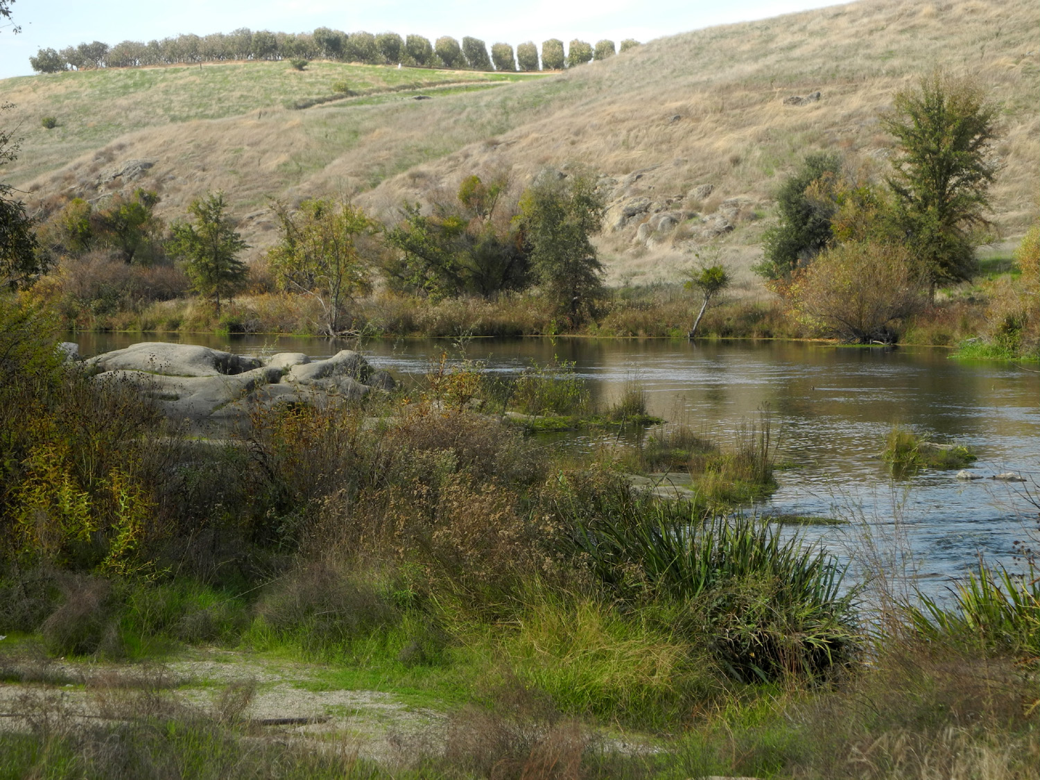
Morning light at San Joaquin Gorge | Along Merced Falls Road |
 |
 |
 |
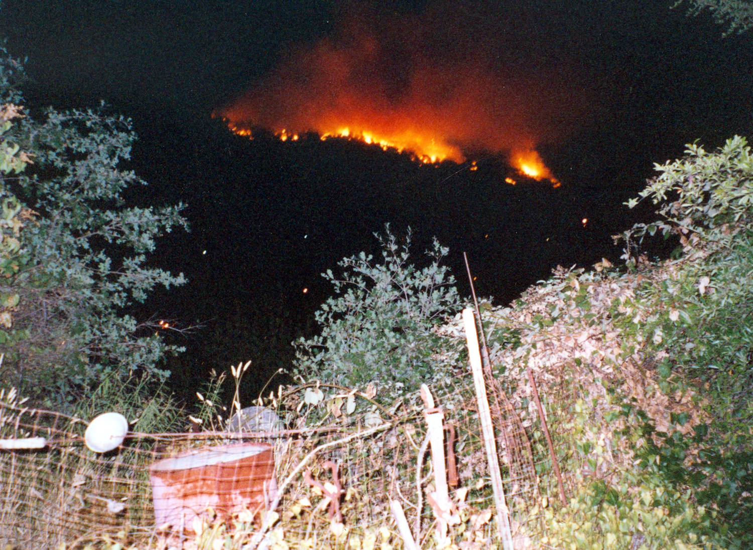
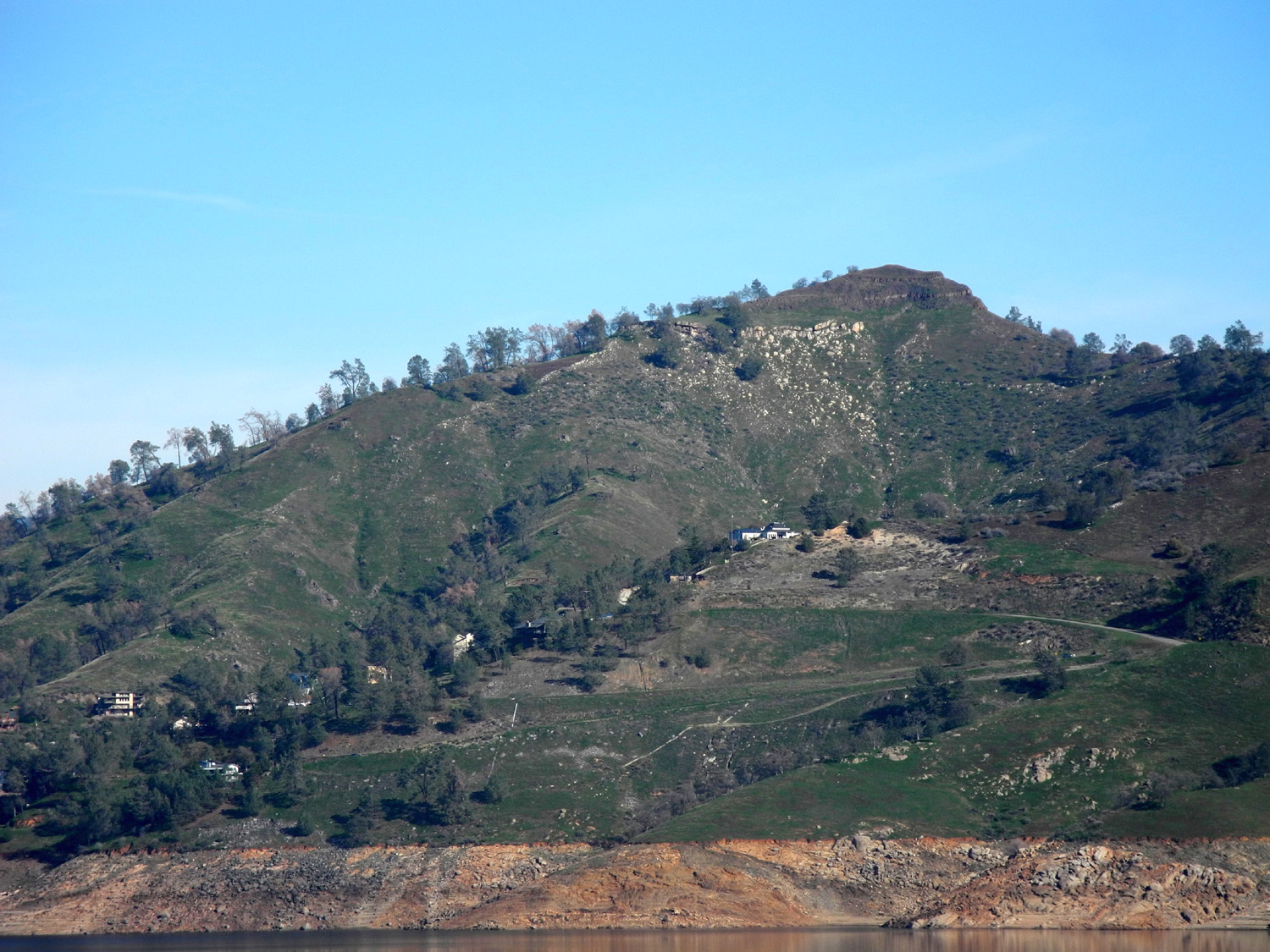
| South Bay Trail, Millerton Lake | Arson fire in the hills above Mariposa, 2004 | Table Mountain in Madera County, CA |
 |
 |
 |
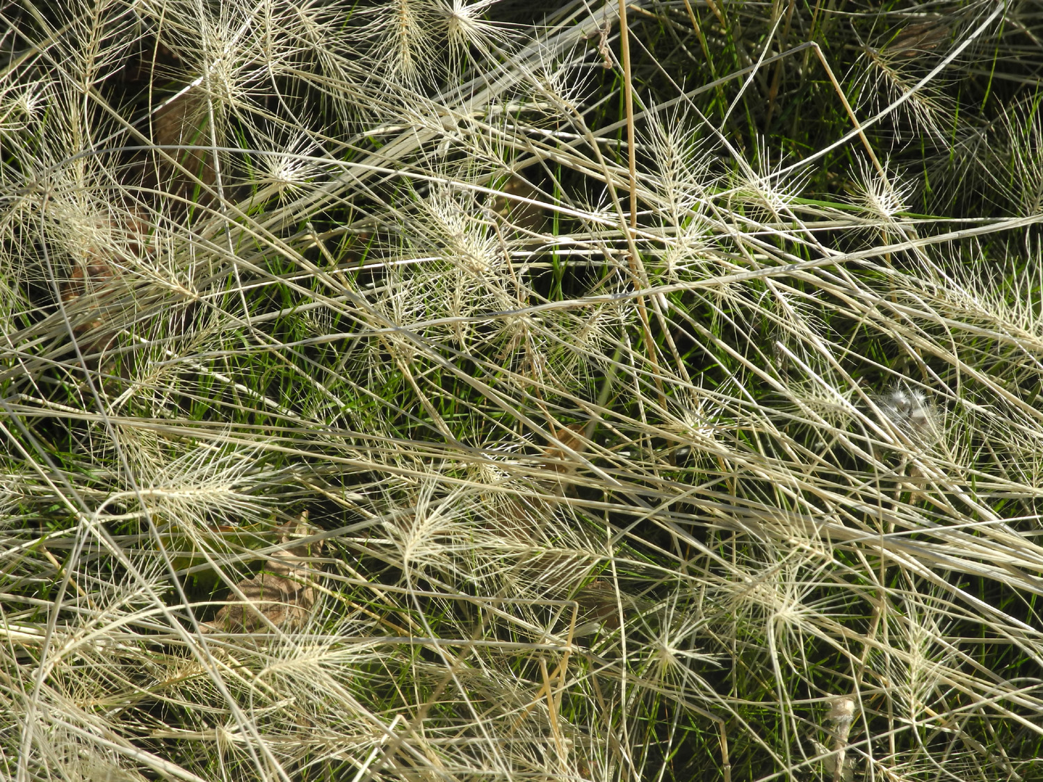
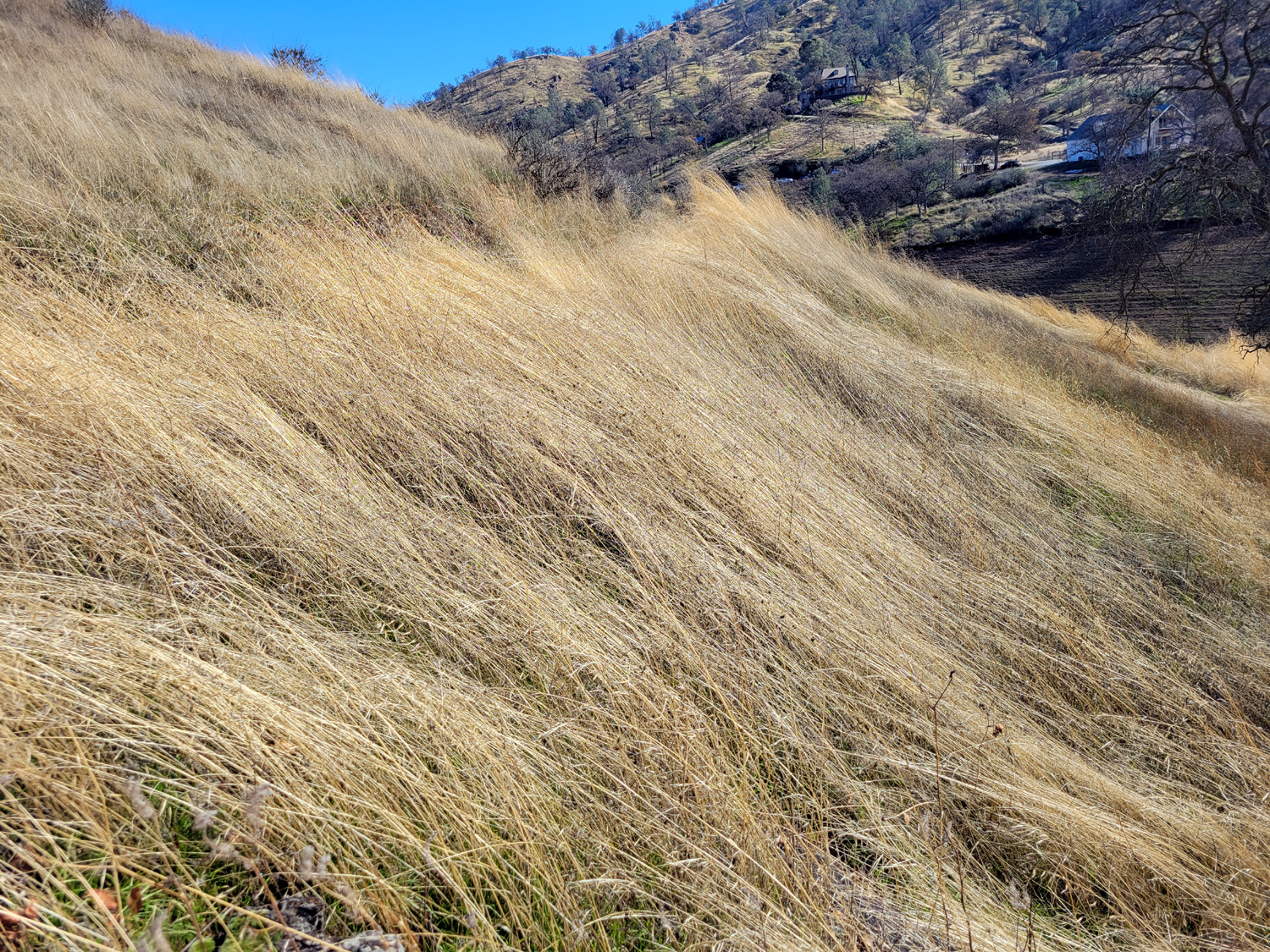
| Slope of Table Mountain | Fox tails in the fall | Blue oak in the hills above Oakhurst |
 |
||
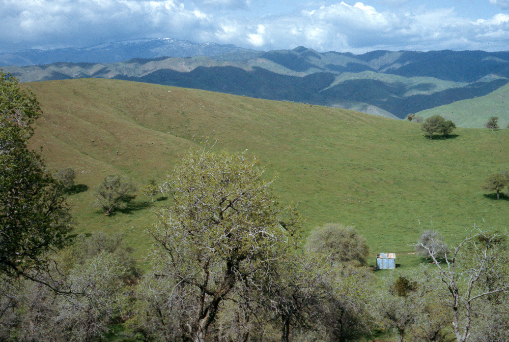
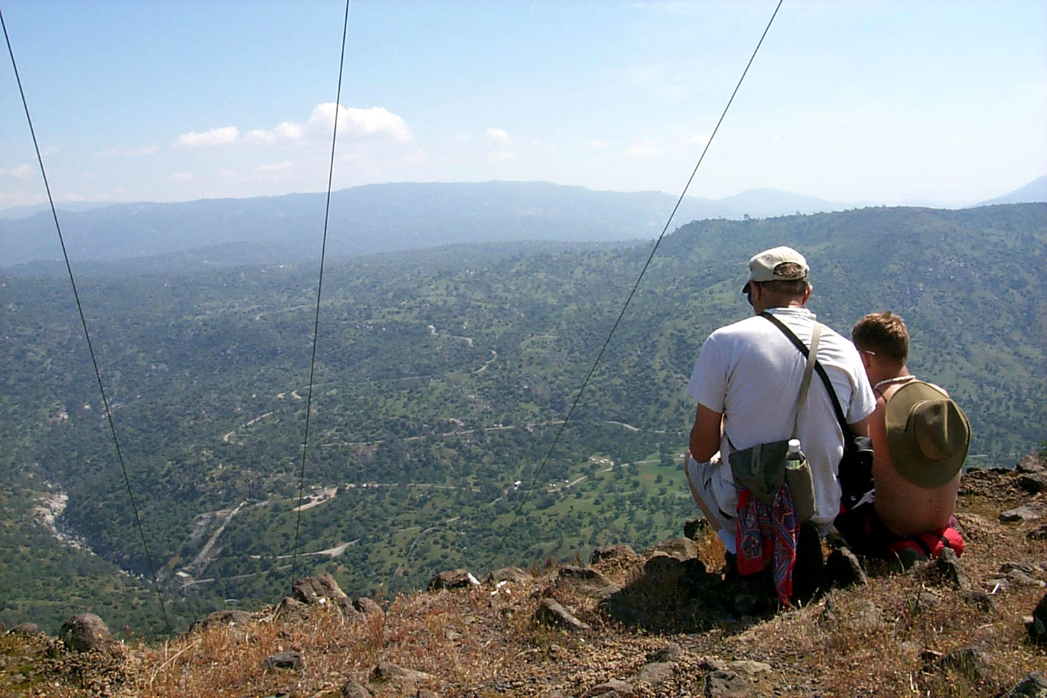
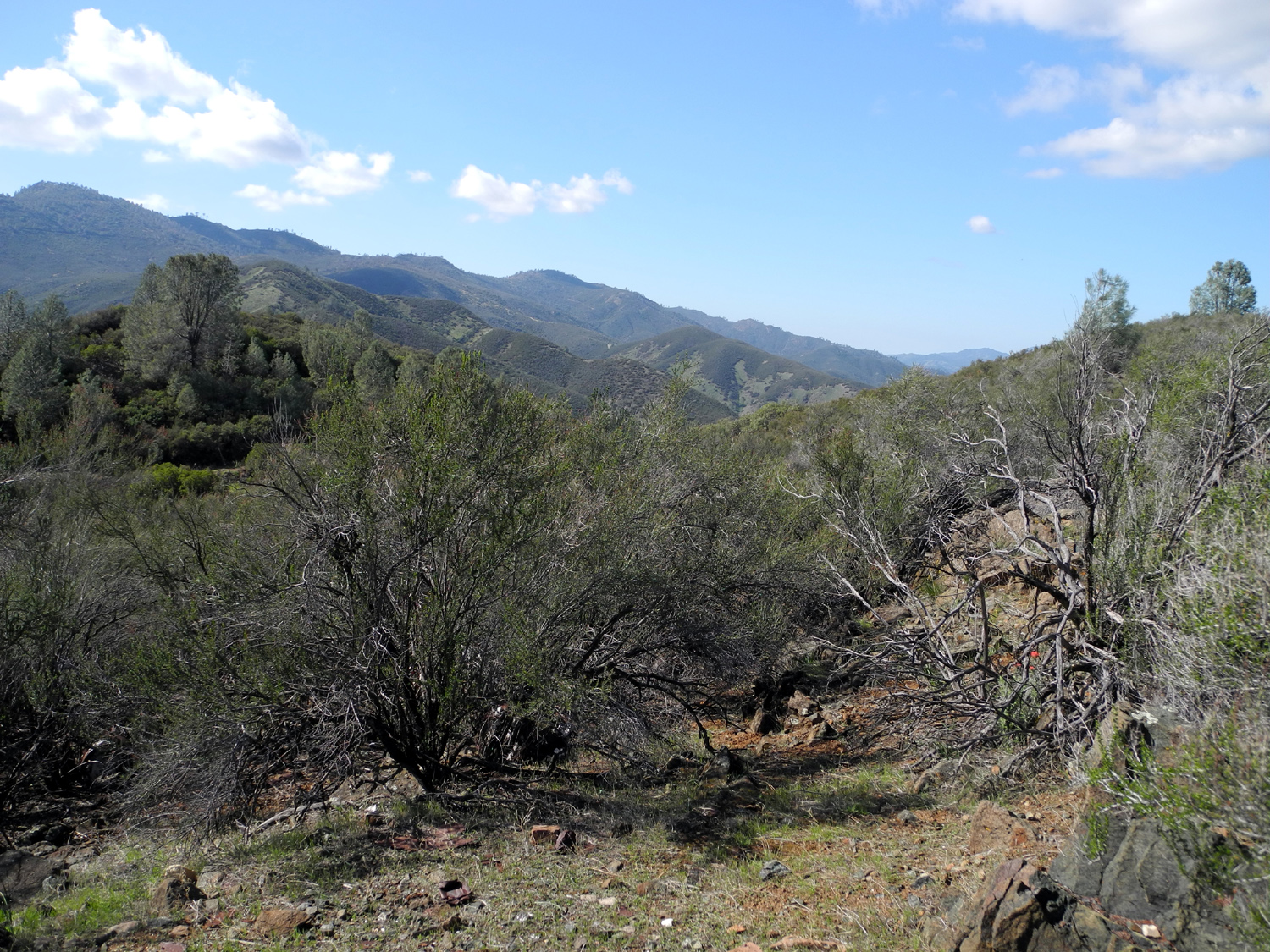
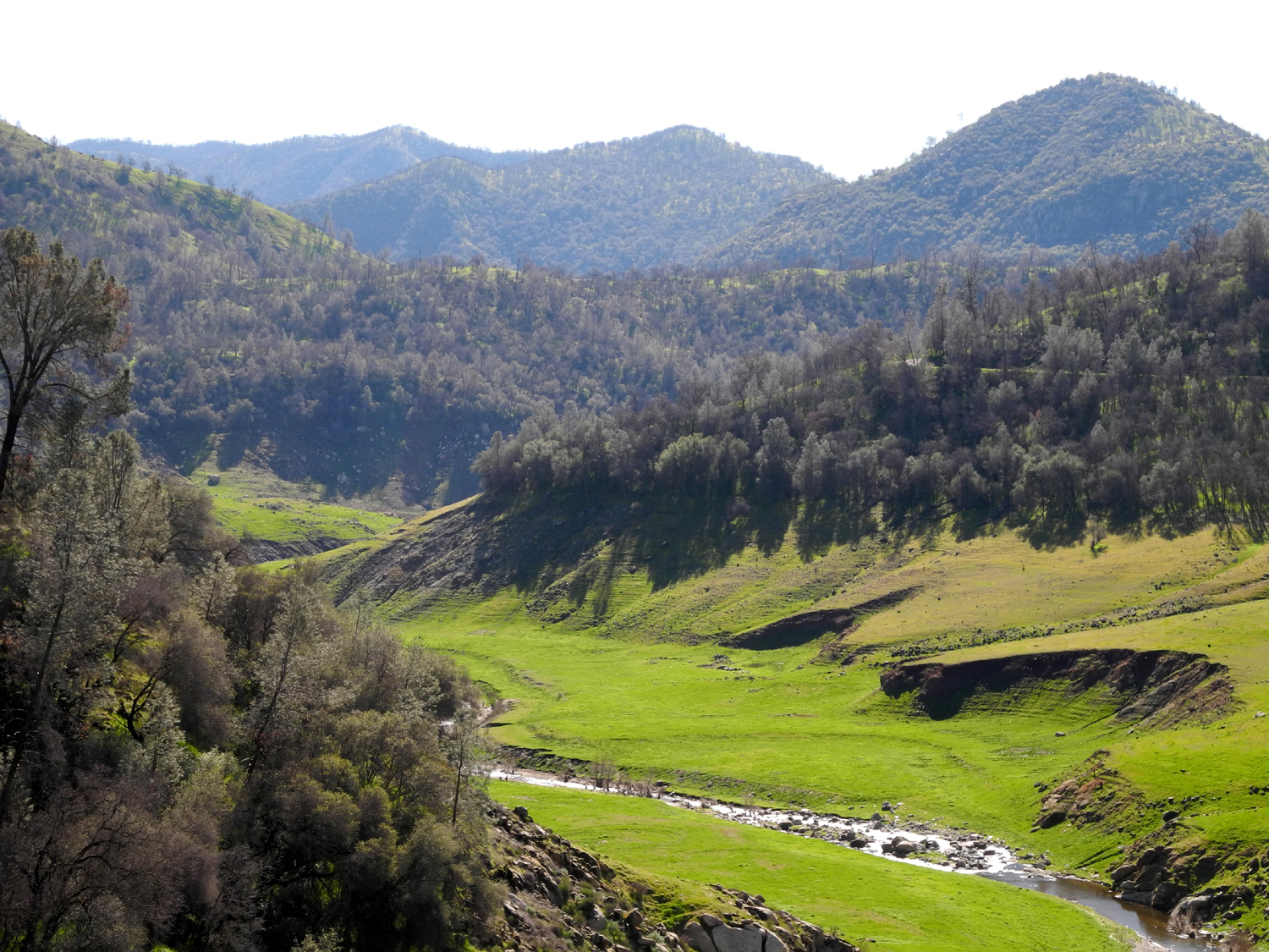
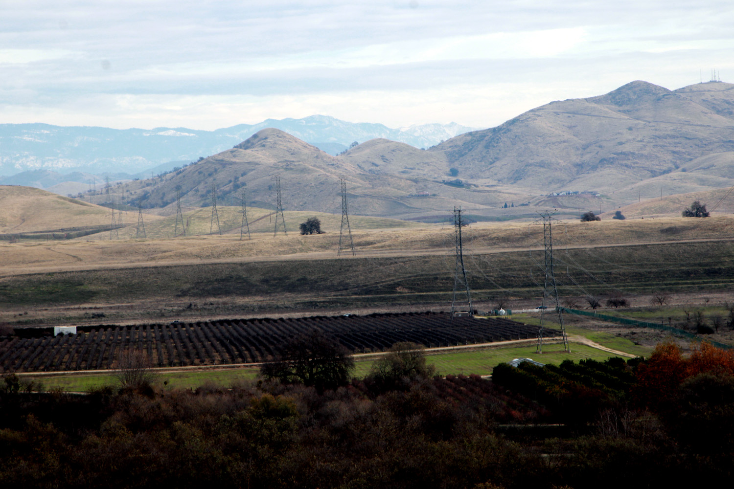
| Valley and foothills below Trimmer Springs Road in Fresno County, CA | ||
0 |
||
| Oak and pine trees near Sycamore Creek and Pine Flat Reservoir | ||
 |
||
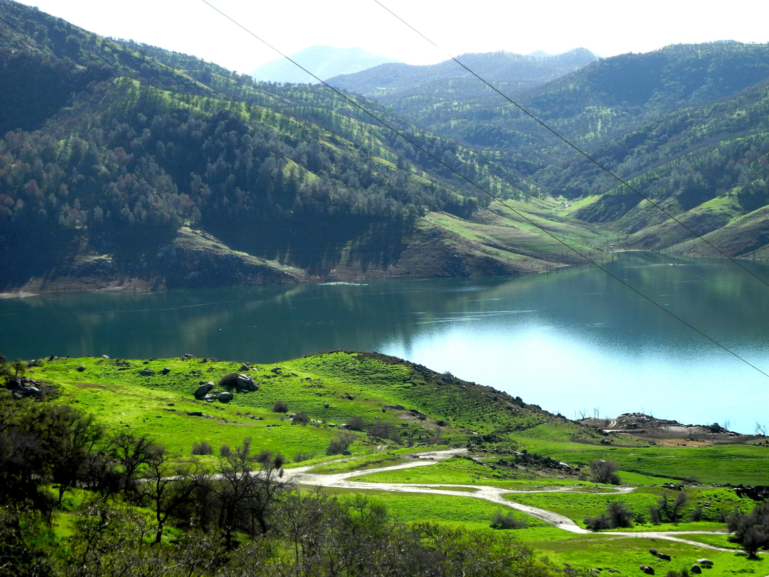
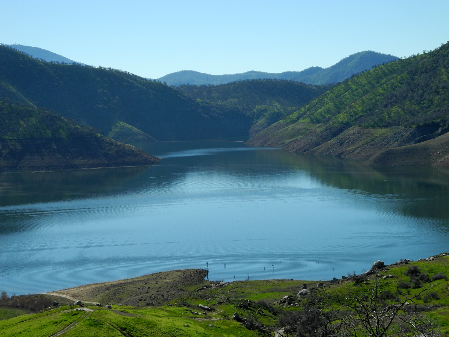
| Millerton Lake at Finegold Creek | ||
 |
||
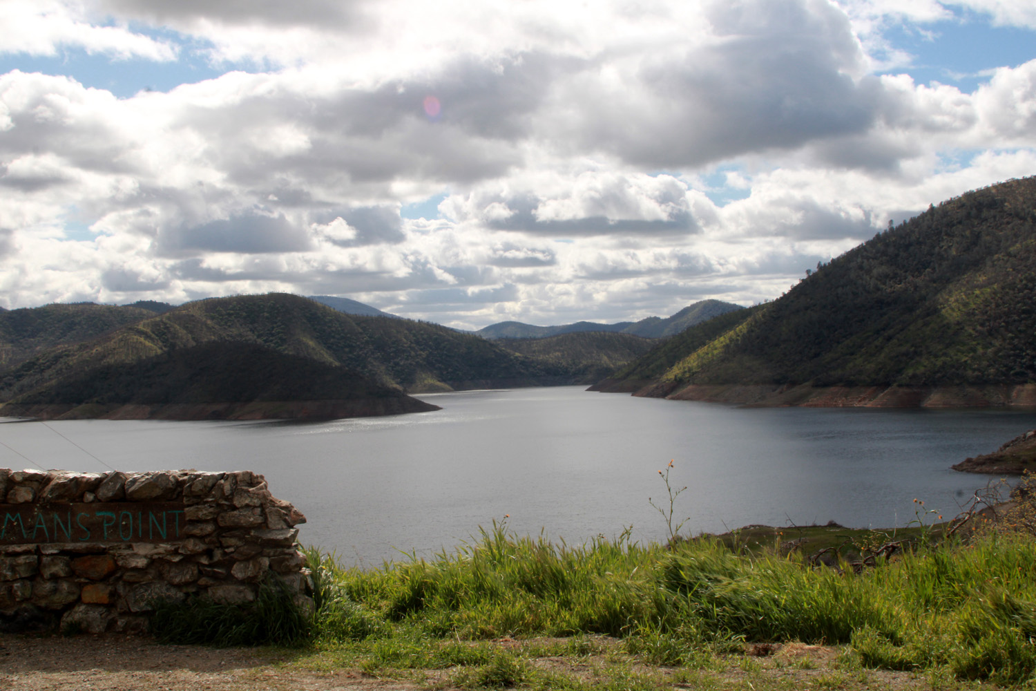
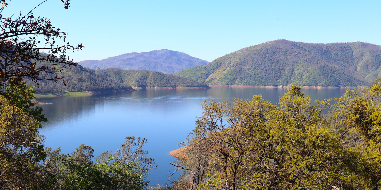
| Looking across at Edison Point above Pine Flat Lake | ||
 |
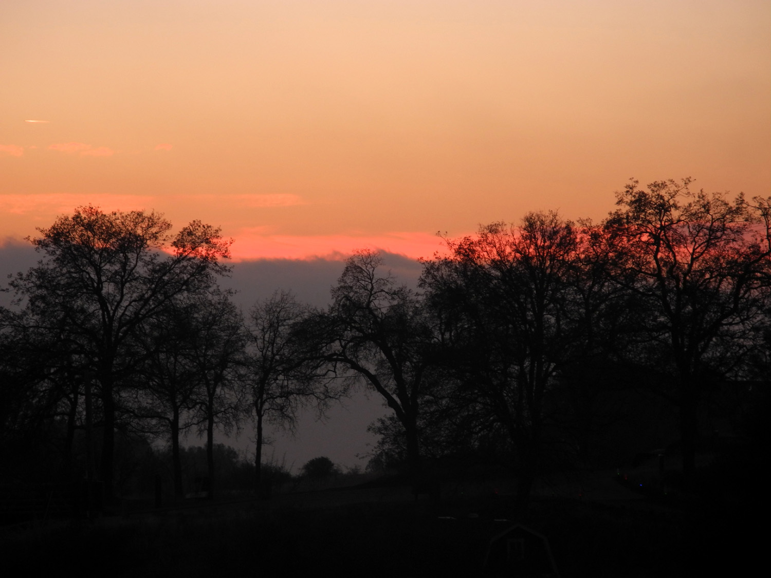 |
 |
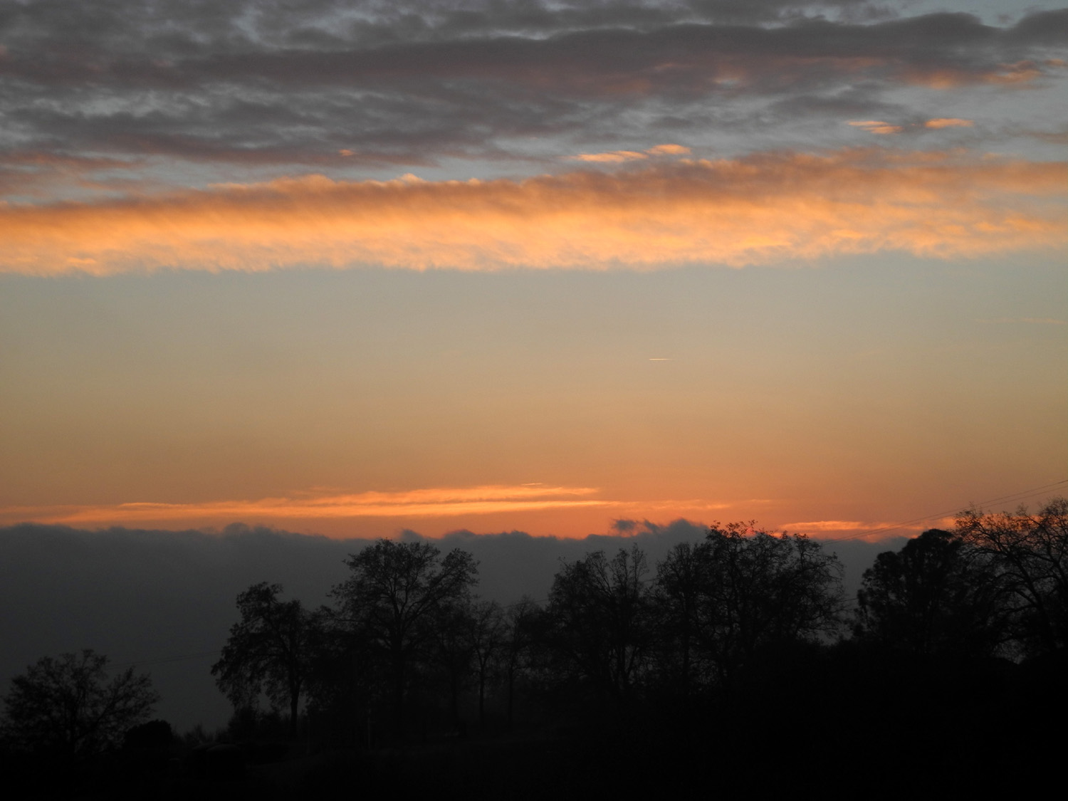
| New Year's Eve sunset above Oakhurst | Deeper Reds | Pincushion
Peak above Winchell Cove at Millerton Lake |
 |
 |
 |
|
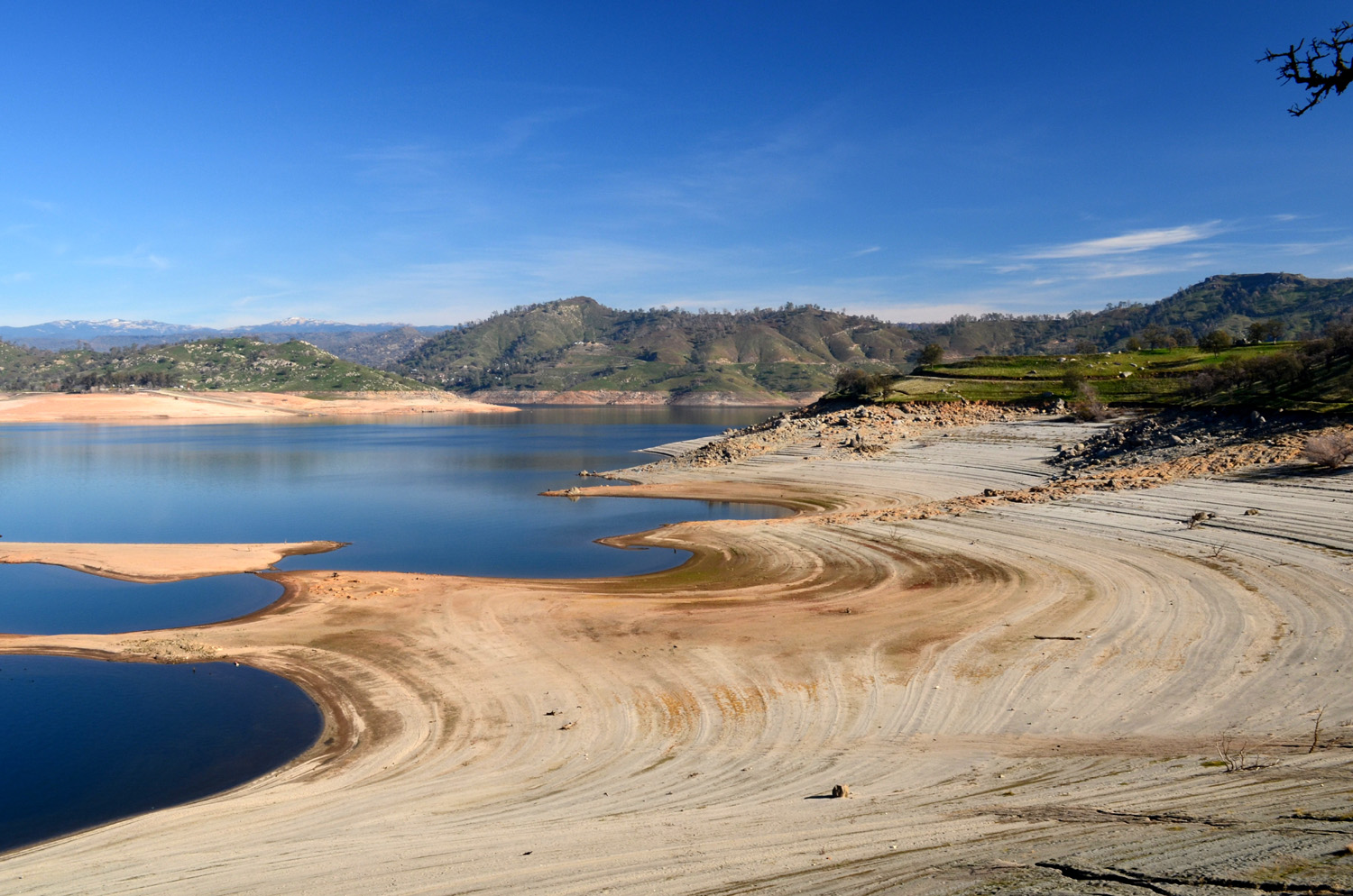
Falling water line
at Lake Millerton |
Did that boulder roll down there recently? |
Rocky section along the trail near Winchell Cove |
 |
 |
 |
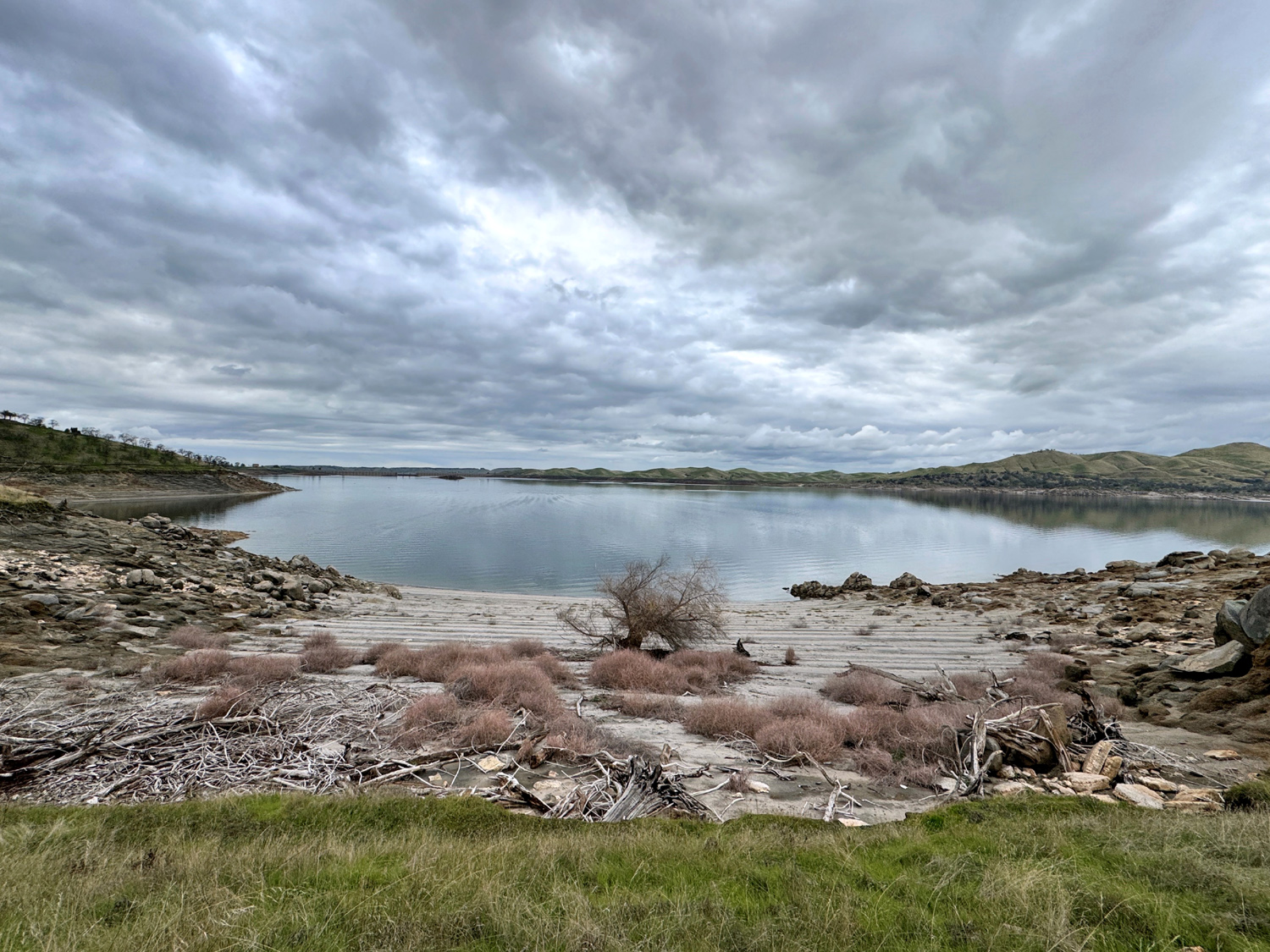
| Low water on Pine Flat Lake, March 2015 |
All that nice green lawn should be underwater |
Poppies on the hillside above Pine Flat Lake |
 |
 |
 |
| Snow on the Monarch Divide between the North and Middle Forks of the Kings River | Mill Flat Creek | Green hillside above the creek |
 |
 |
 |
|
Hite's
Cove Trail on the South |
Cliff above Highway 140 along the Merced River |
Smoky sunrise reflected in the Helm Canal |
 |
||
| Creek drainage by Road 400 in Madera County | ||
 |
||
| Rocks and oaks near Hensley Lake | ||
 |
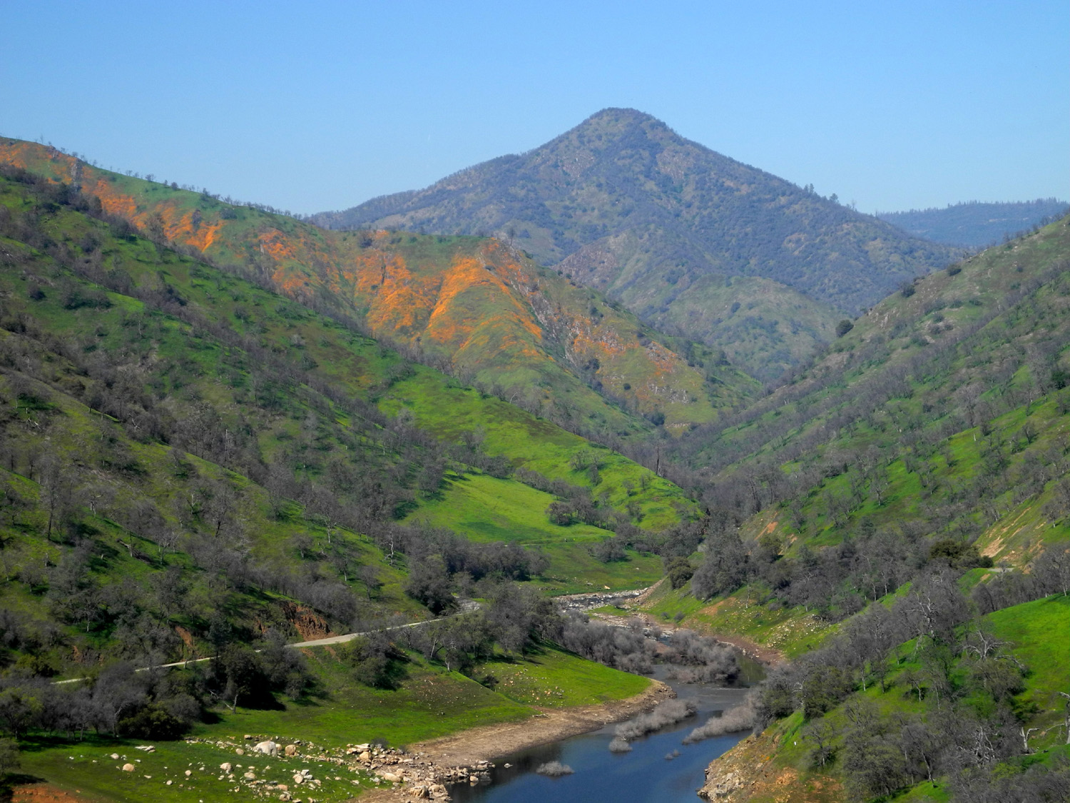
||
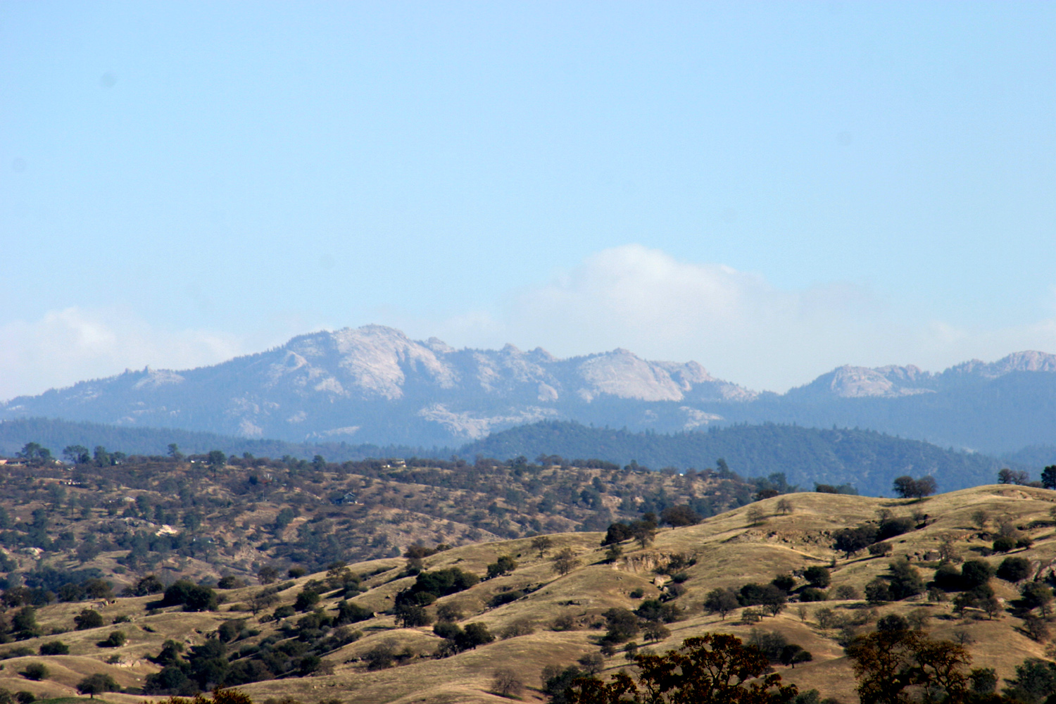
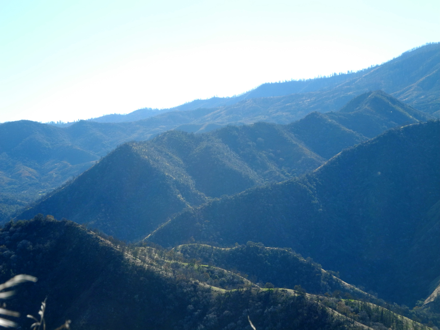
| View of the Sierra - Kings Canyon on left; Great Western Divide at right, from Highway 145 near Highway 41 | ||
 |
 |
 |
| Ancient
upside-down tree stump by Deadwood Lookout Road near Oakhurst CA |
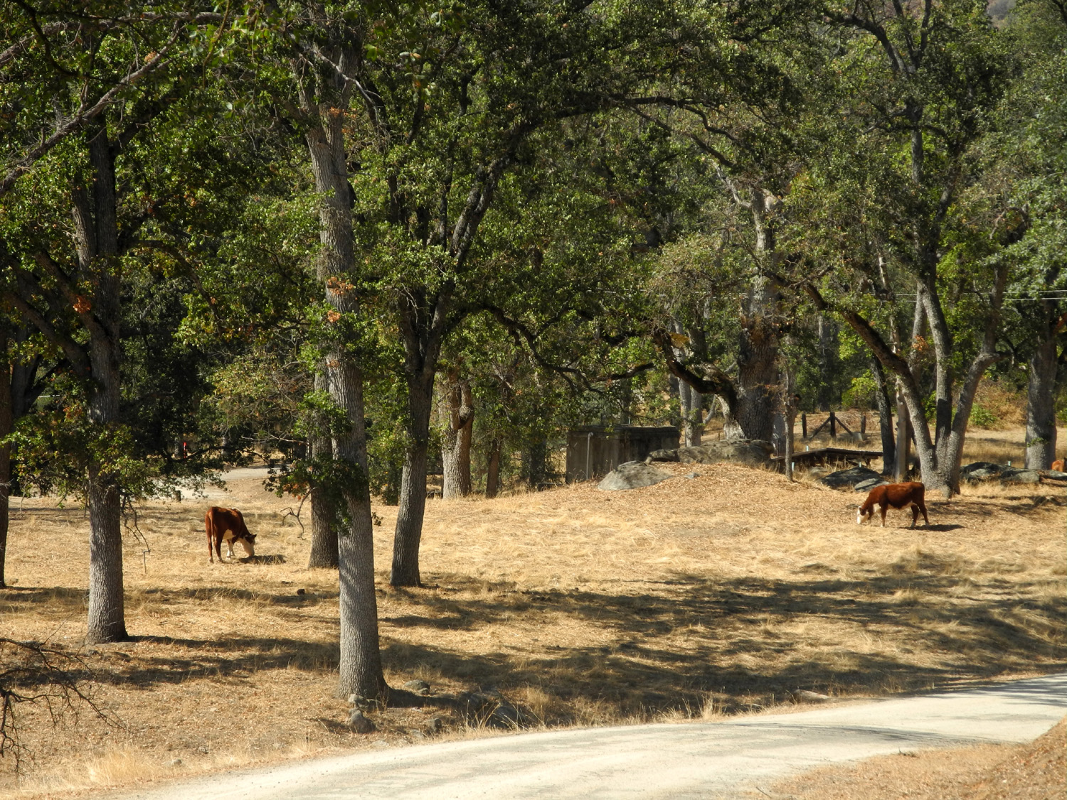
Cattle guard on Deadwood Lookout Road | Cattle by the road |
 |
 |
 |
|
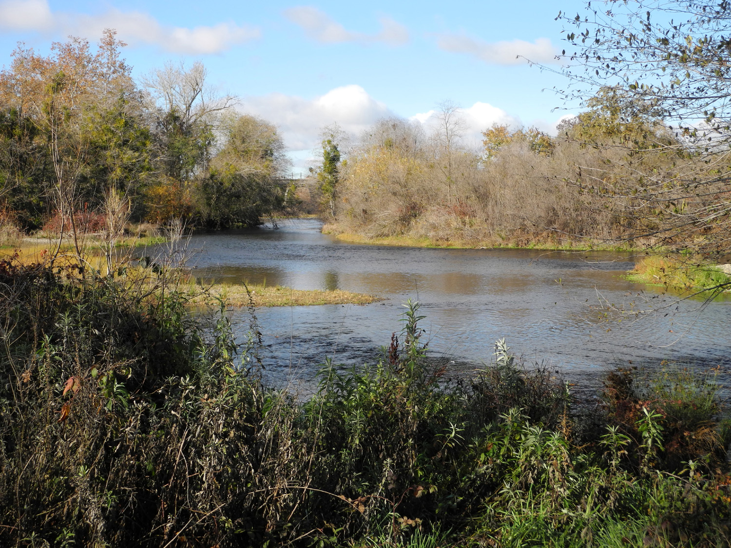
San Joaquin River by Jensen Ranch Trail |
Fall in Woodward Park |
Coarsegold Creek, Madera County, running high in 1983 |
 |
 |
 |
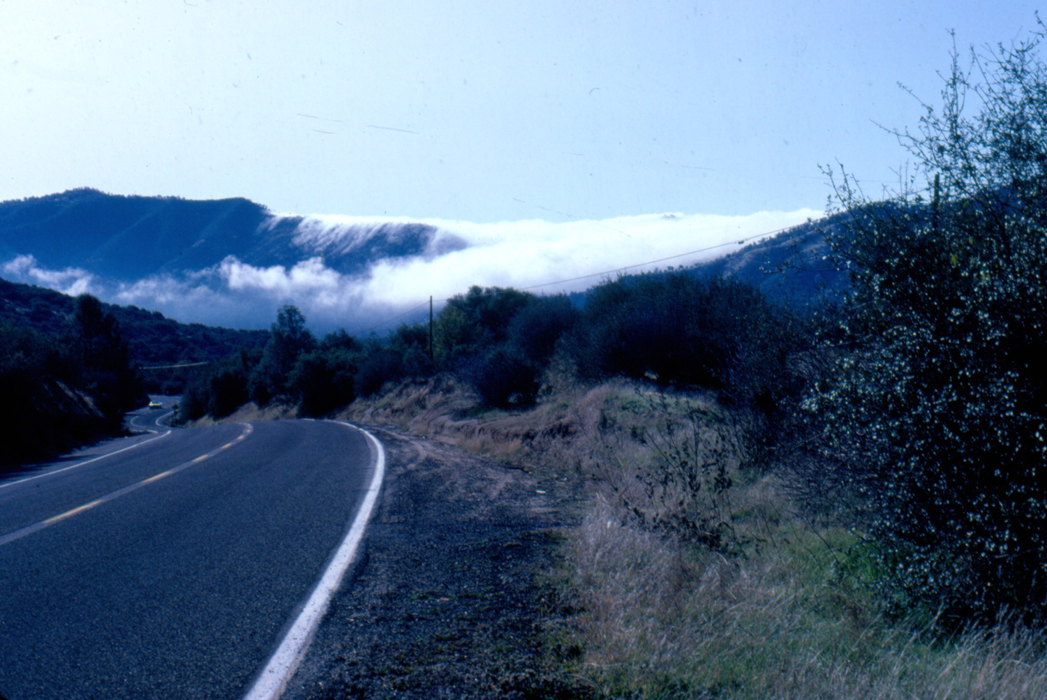
| Fog
from the San Joaquin Valley pours over a ridge near Oakhurst |
Not a lake, but fog in Blue Canyon near Pine Flat Lake | Mariposa Creek carries mud from heavy rain |
 |
 |
 |
| Little
Dry Creek in Fresno County during the 2016 El Nino year |
Lone tree above the Old Town Trail in Clovis |
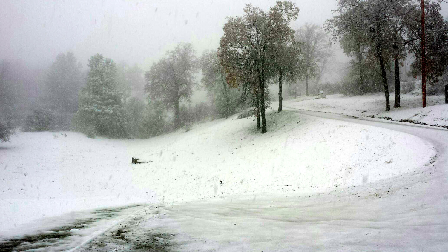
Snow
at Old Yosemite Road and 620 above Oakhurst |
 |
 |
 |
| Bright green grass in the San Joaquin Gorge area | Big Dry Creek at Highway 168 |
A rainy year has brought this little creek back to life |
 |
 |
 |
| Another view of Big Dry Creek | Green hills and the Sierra from Trimmer Springs Road | The
valley of Sycamore Creek where it enters Pine Flat Lake |
 |
 |
 |
| Cushioned resting rock | Pine Flat lake sparkles in the spring sunshine | At
the start of the San Joaquin River Trail western end |
 |
 |
 |
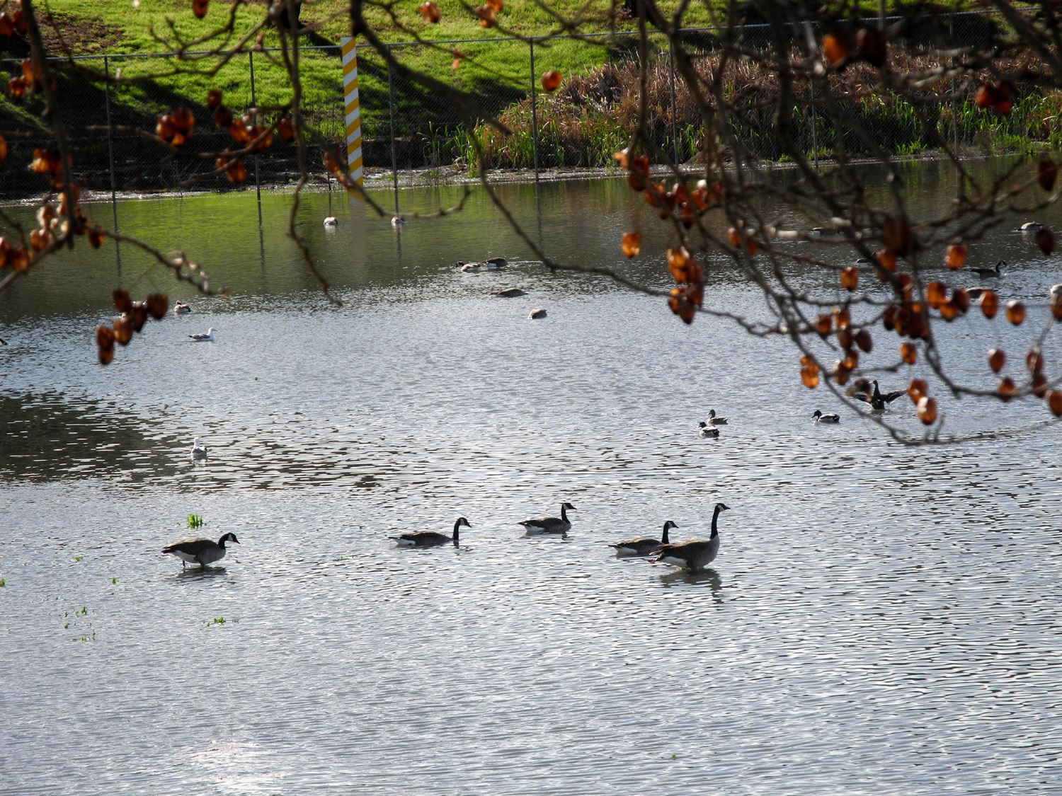
| This park in Clovis is a flood basin when it rains |
Ducks swimming above the sidewalk |
Fiddlenecks in Dry Creek Canyon, Tulare County |
 |
 |
 |
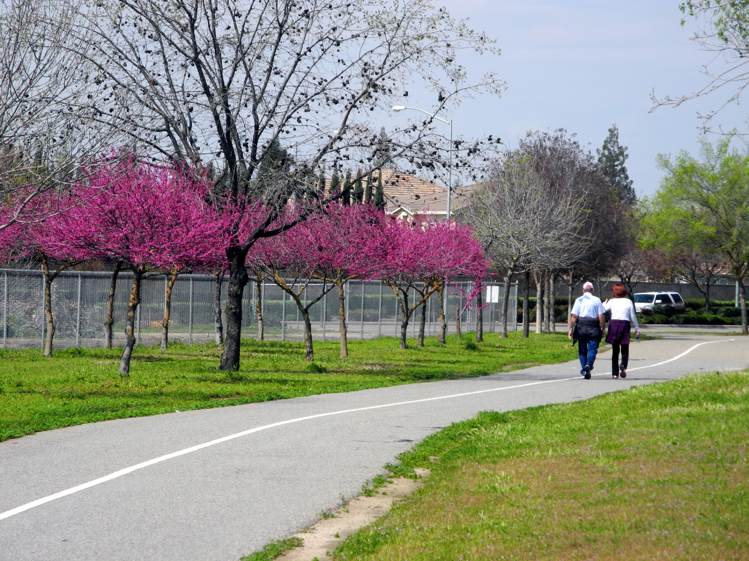
| Another fantastic Dry Creek Canyon vista | Enjoying
the redbuds beside the Dry Creek Trail in Clovis |
Debris line marks high water on the Chowchilla River |
 |
||
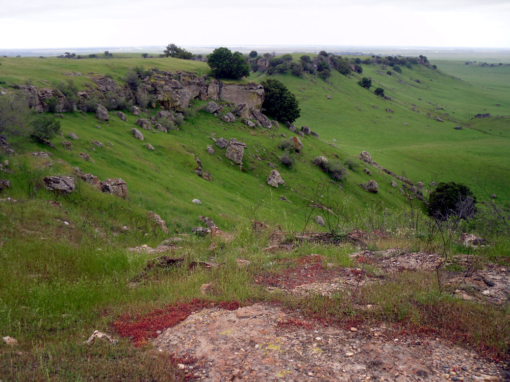
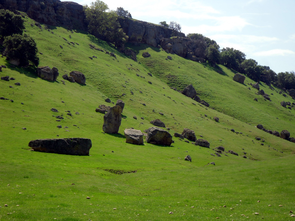
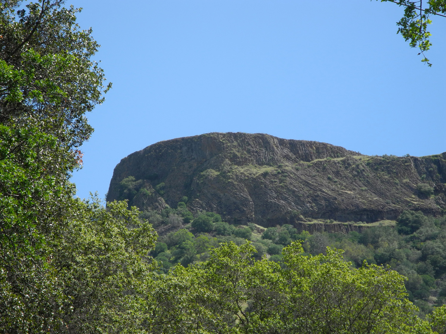
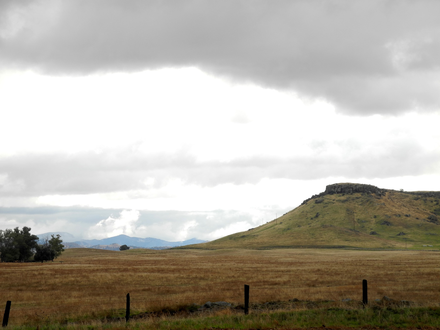
| Table Mountain near the junction of Highways 145 and 41 | ||
 |
 |
 |
| Along the Lakeview Trail by Eastman Lake | Hikers stand atop Pincushion Peak above Millerton Lake | Wildflowers line both sides of the San Joaquin River Trail |
 |
 |
 |
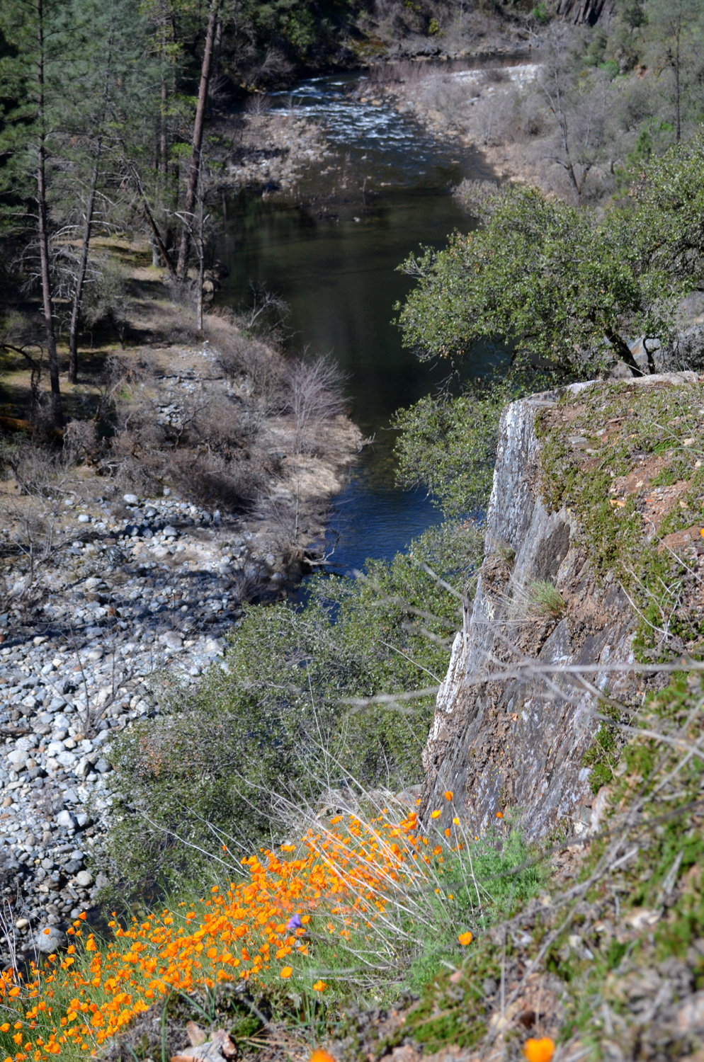
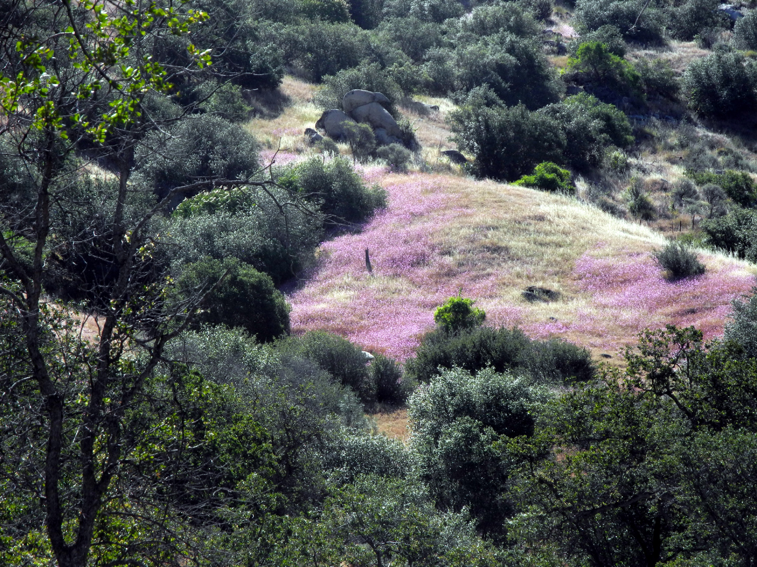
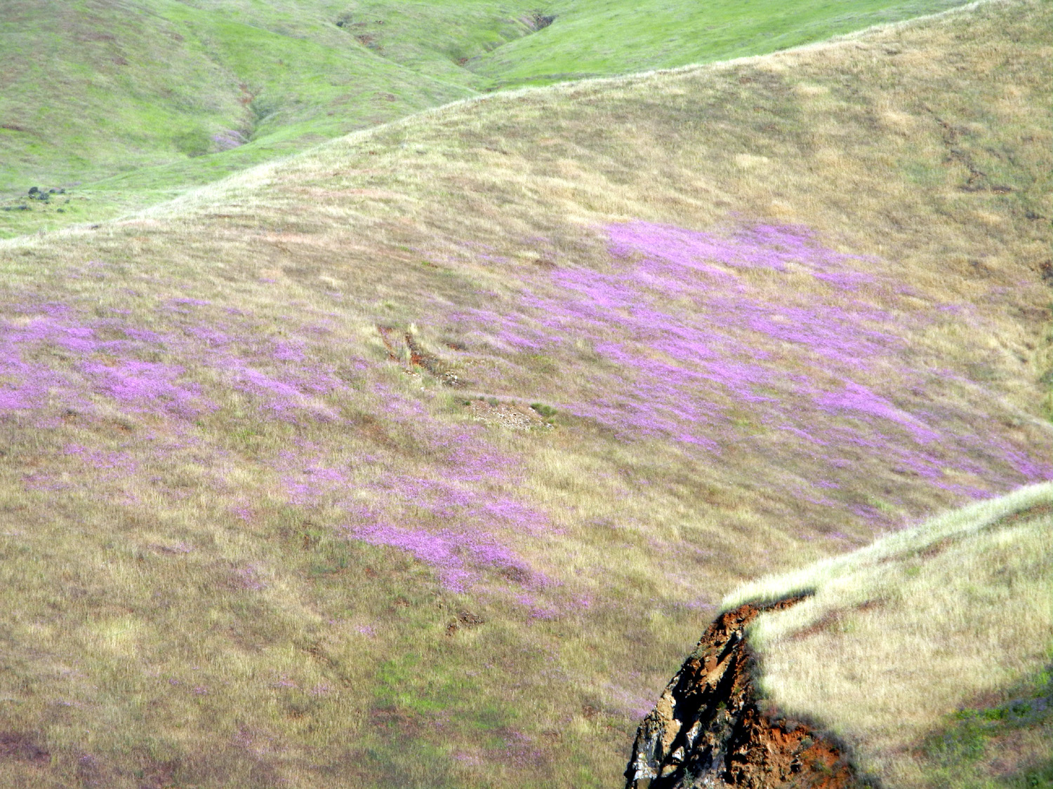
| Farewell-to-Spring
turn the hills pink at San Joaquin Gorge |
Squaw Leap above the San Joaquin Gorge | Another example of nature's landscaping skills |
 |
 |
 |
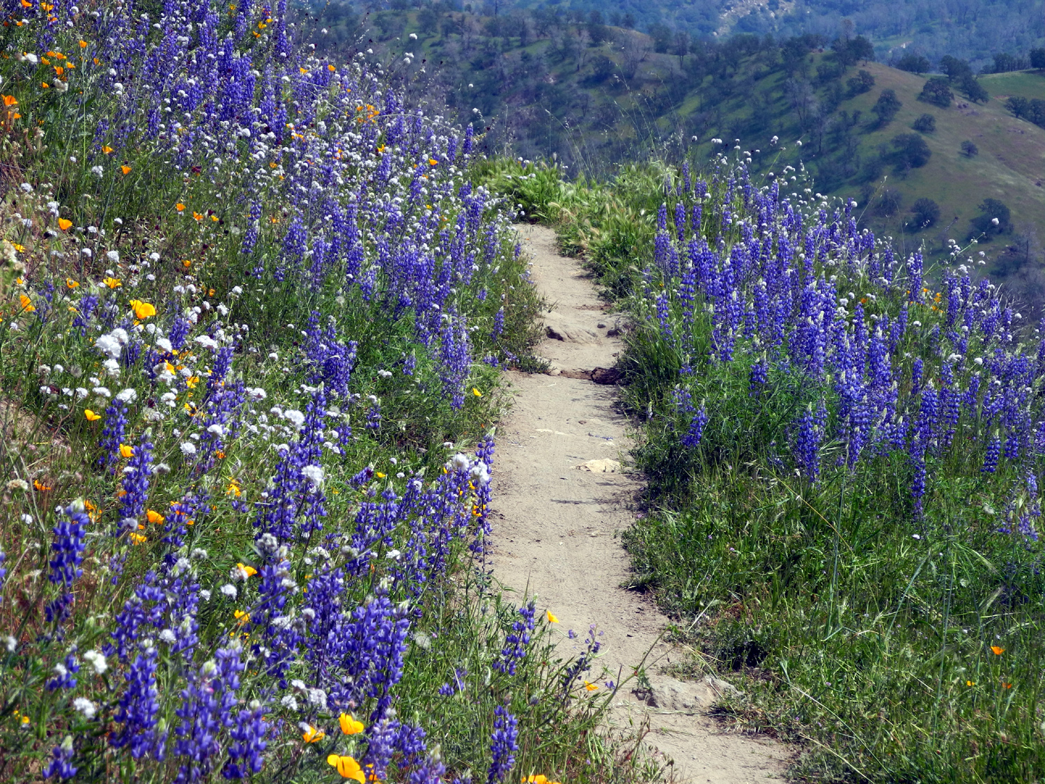
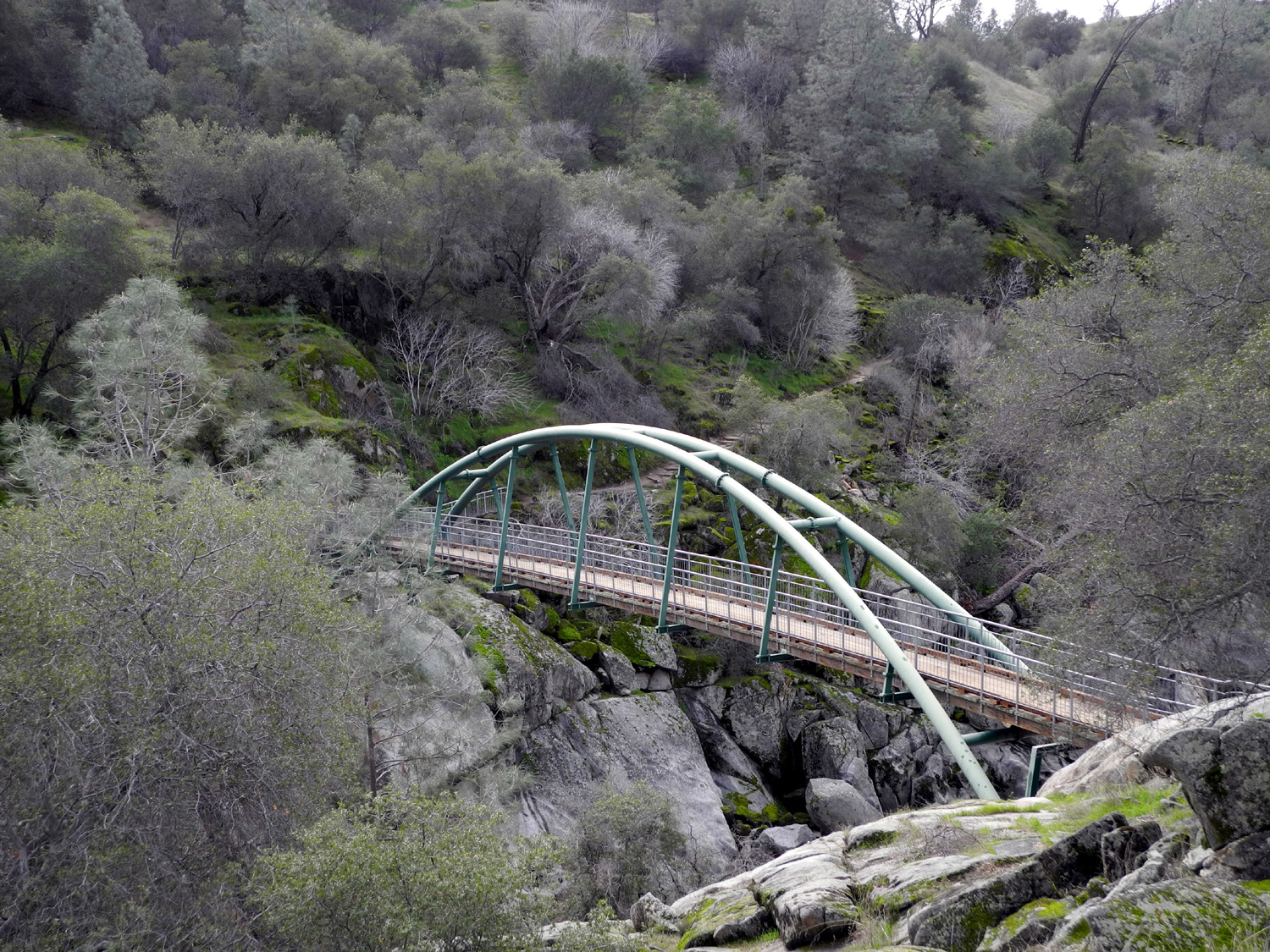
| Flower-lined trail at San Joaquin Gorge |
This
bridge links trails on both |
Early morning view up the San Joaquin River drainage |
 |
 |
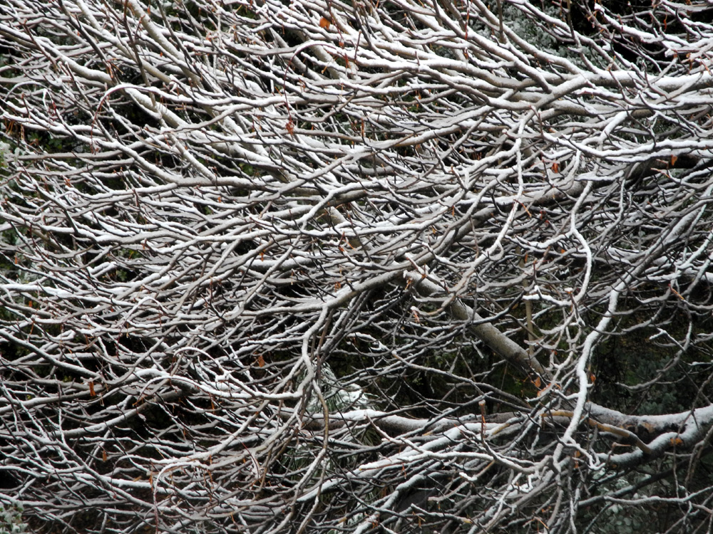 |
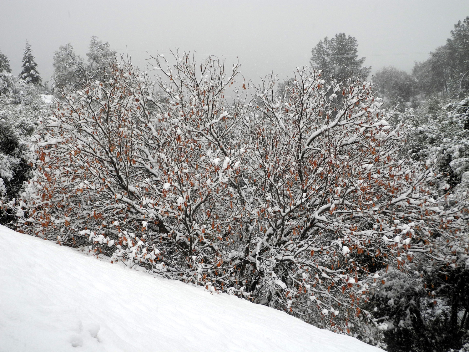
| Fiddlenecks above the Kings River (Thiessen photo) | Snow on Deadwood Mountain above Oakhurst | Snow on leafless buckeye |
 |
 |
 |
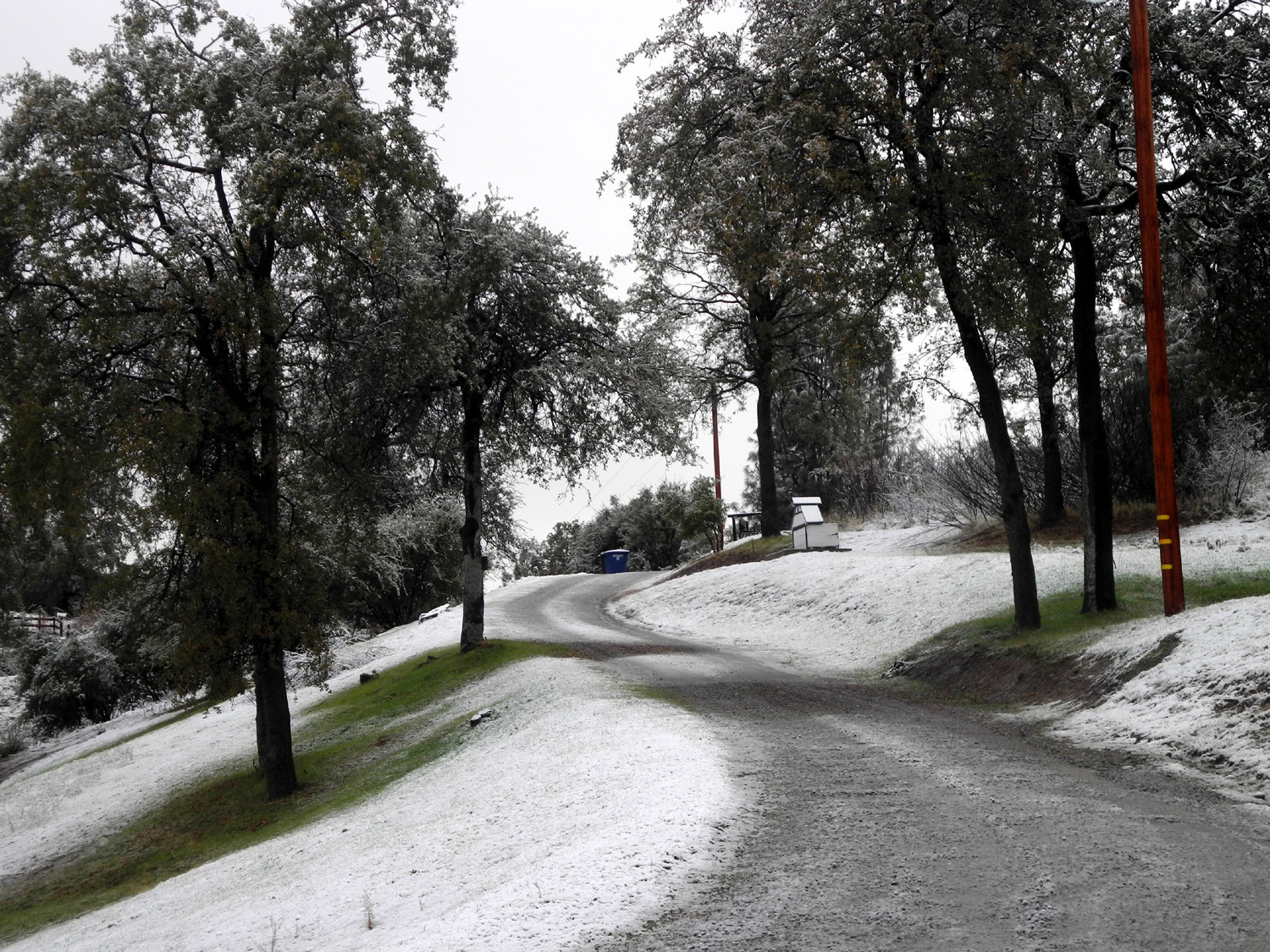
| Snow on the pine tree | Snow-lined driveway above Oakhurst | Table
Mountain near Highway 41 and 145 in Madera County |
 |
 |
 |
| A field of tarweed on Triangle Road in Mariposa County | Hughes creek and a ranch from Trimmer Springs Road | Misty
hill above the Edison Point Trail near Pine Flat |
 |
 |
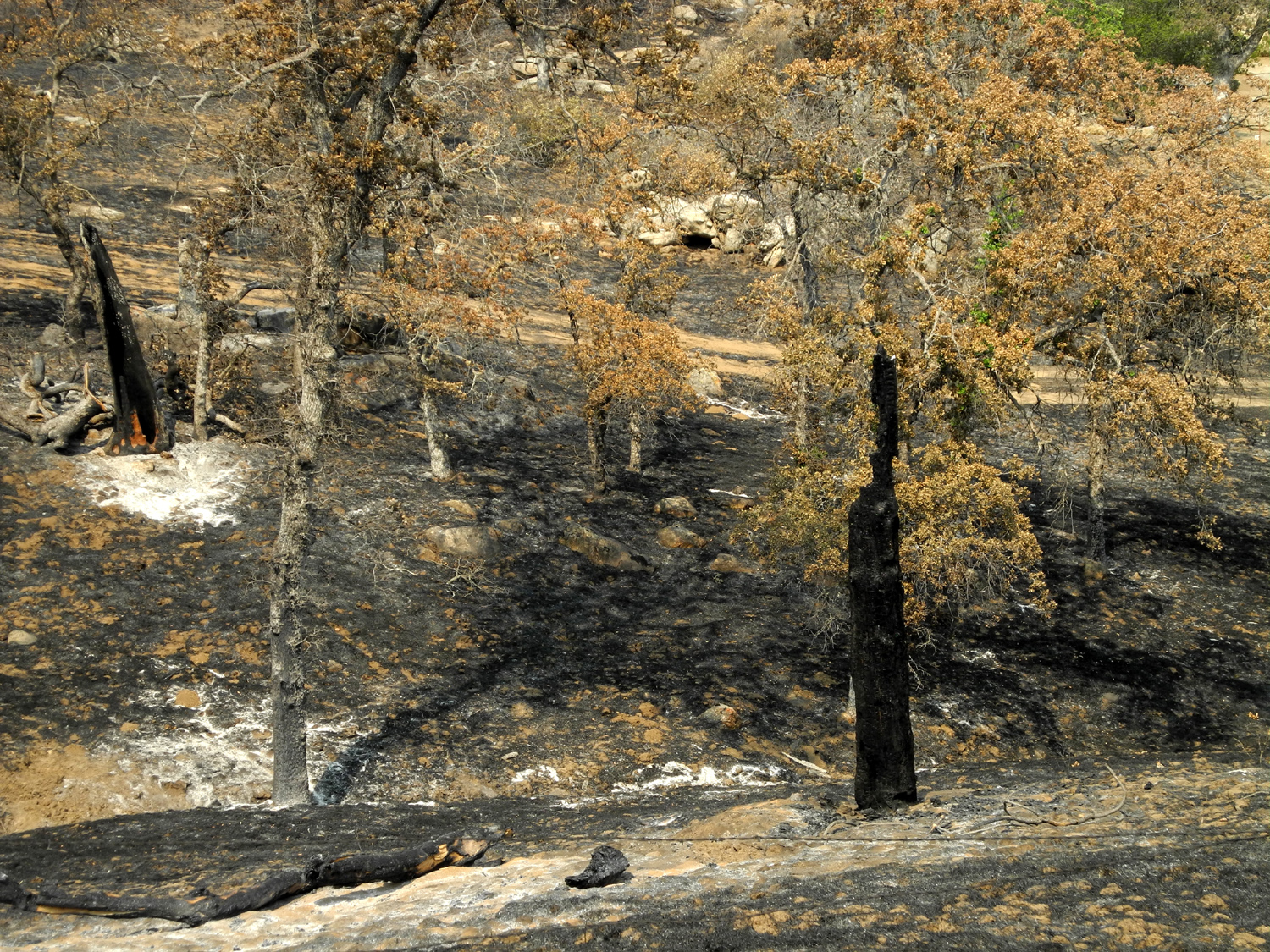 |
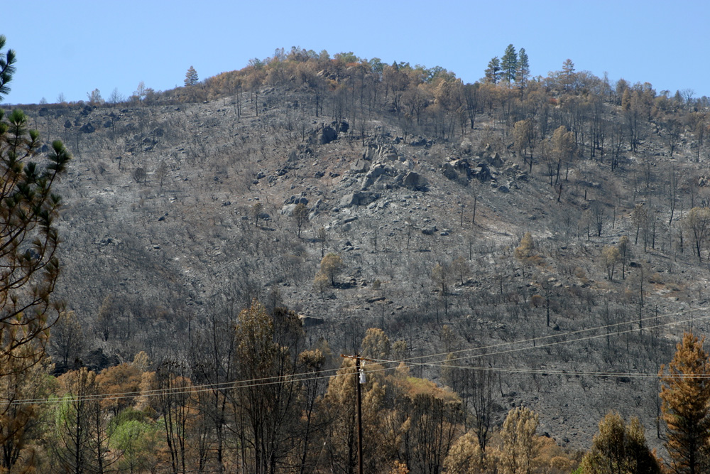
| Scenes after a fire in the foothills along Auberry Road below Prather | ||
 |
 |
 |
| A
dramatic view of Pine Flat Lake and clouds in early afternoon |
Little Dry Creek near Auberry Road |
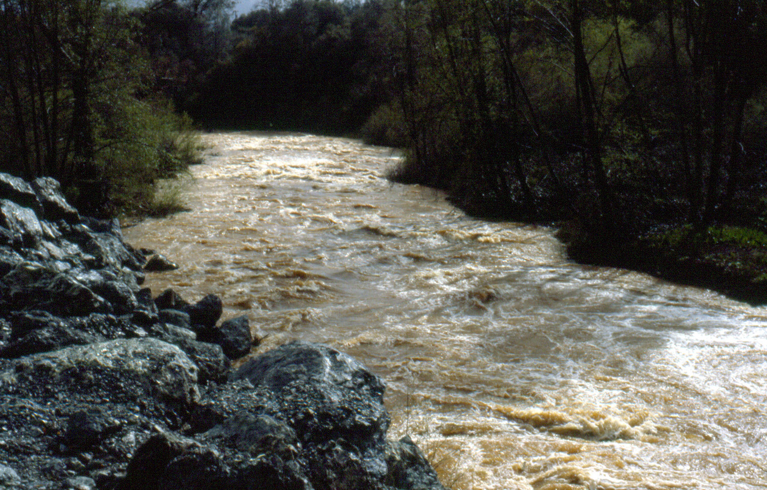
The
rushing waters of |
 |
 |
 |
|
Wes
Thiessen captured this |
Sun kisses the green hills across Lake Millerton | Pincushion Peak from
Millerton and Auberry Roads |
 |
 |
 |
| The Finegold Creek branch
of Millerton Lake (compare 2104 view) |
This
flat rock looks right down on Trimmer Springs Road near Pine Flat Lake |
A
little creek that runs into the |
 |
 |
 |
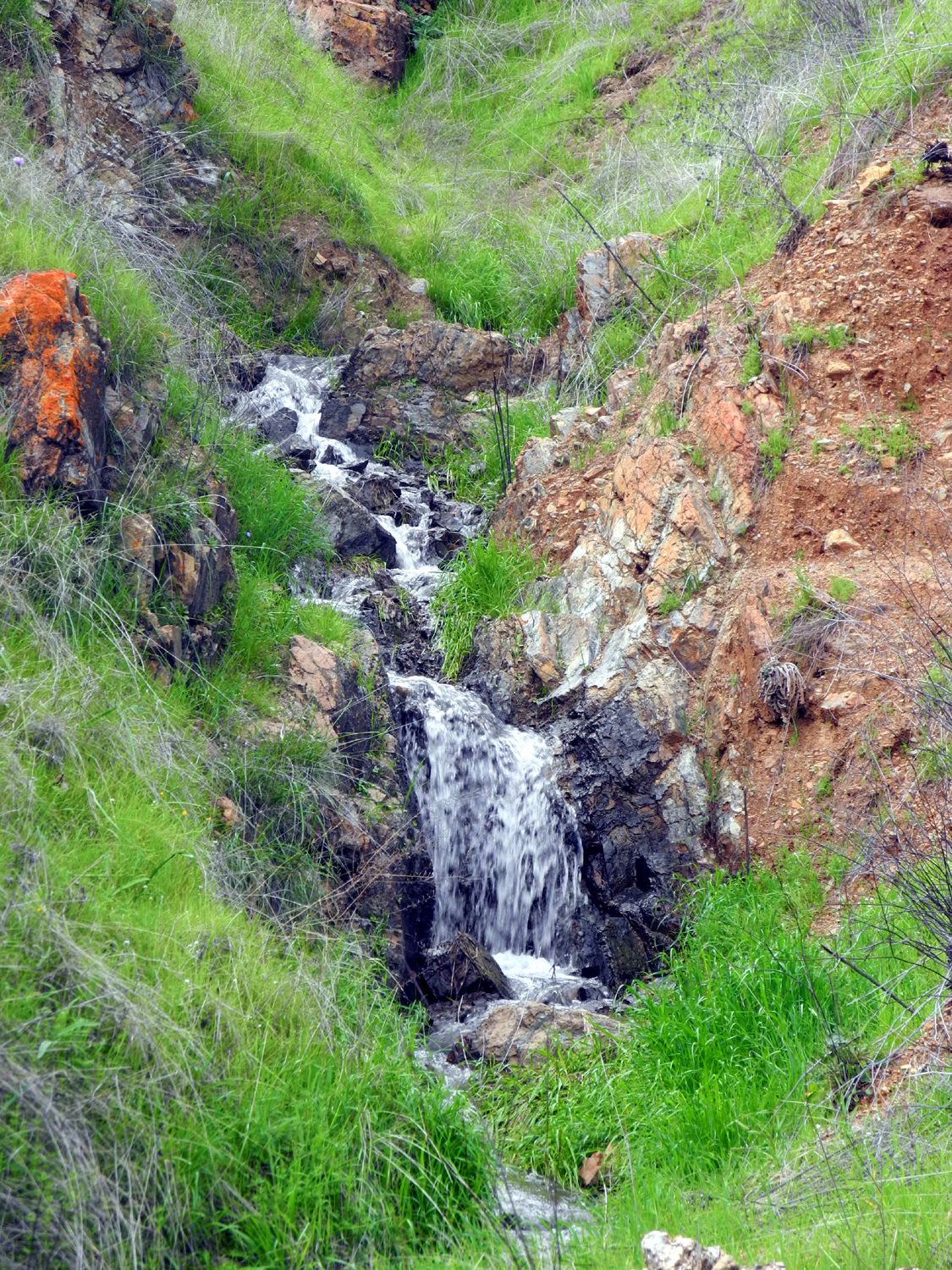
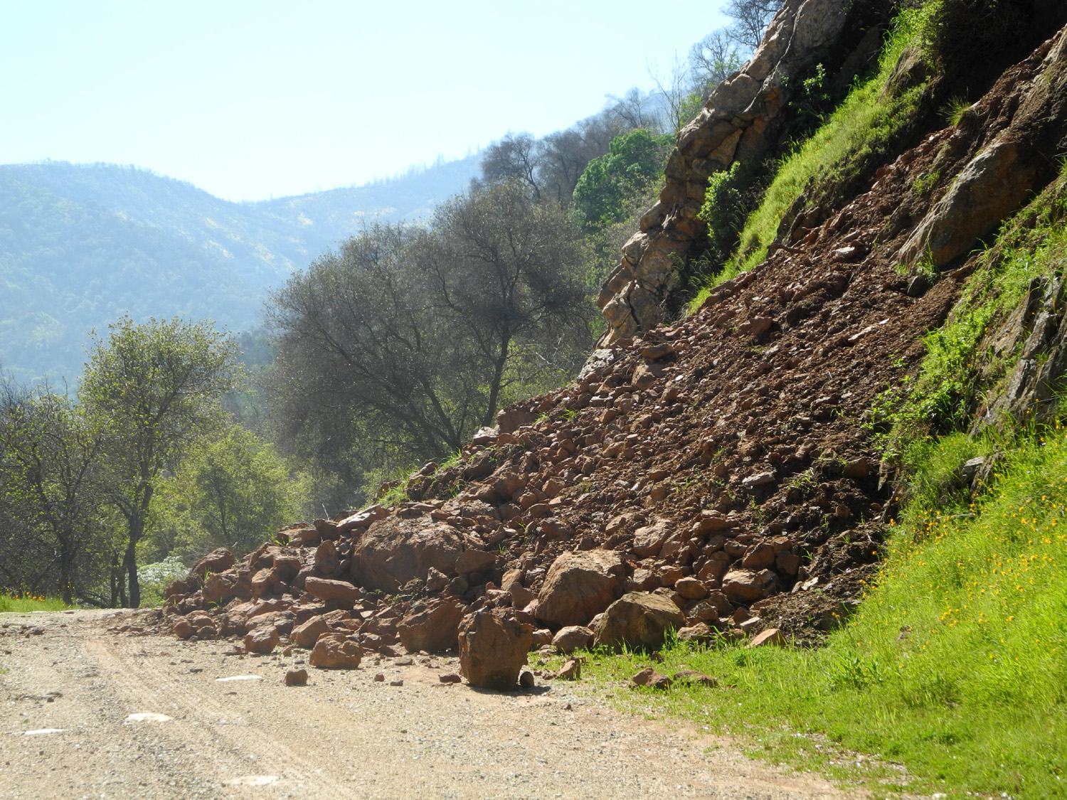
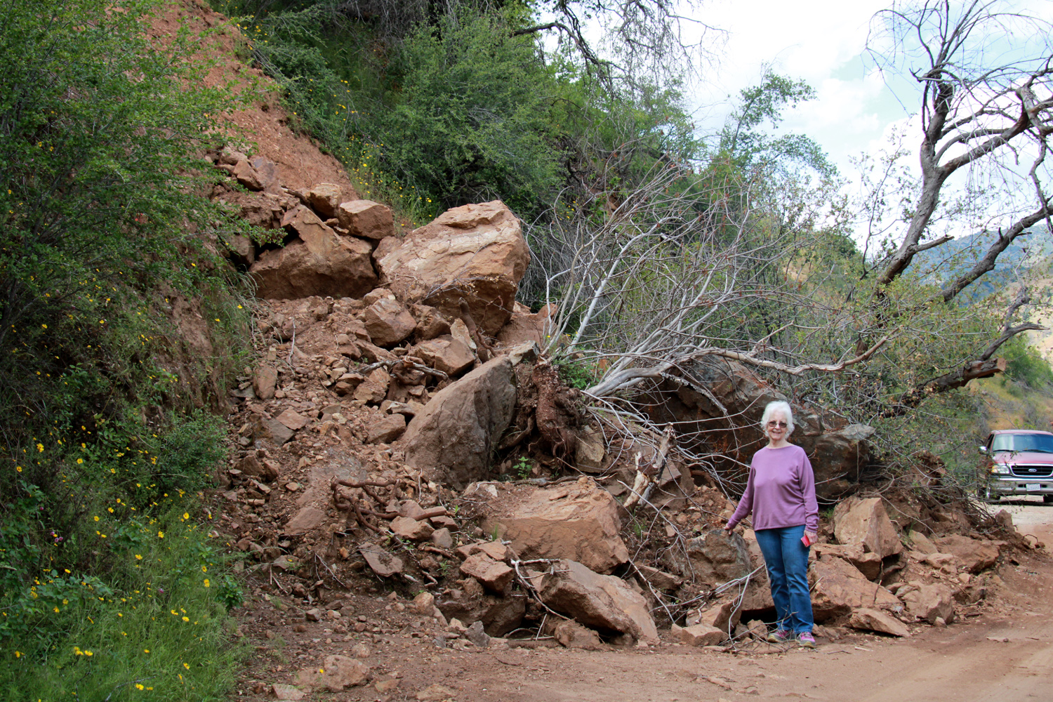
| Slide
on Trimmer Springs Road on the south side of the Kings River |
Where it came from |
Big Creek branch of Pine Flat Lake with poppies on the hills |
 |
 |
 |
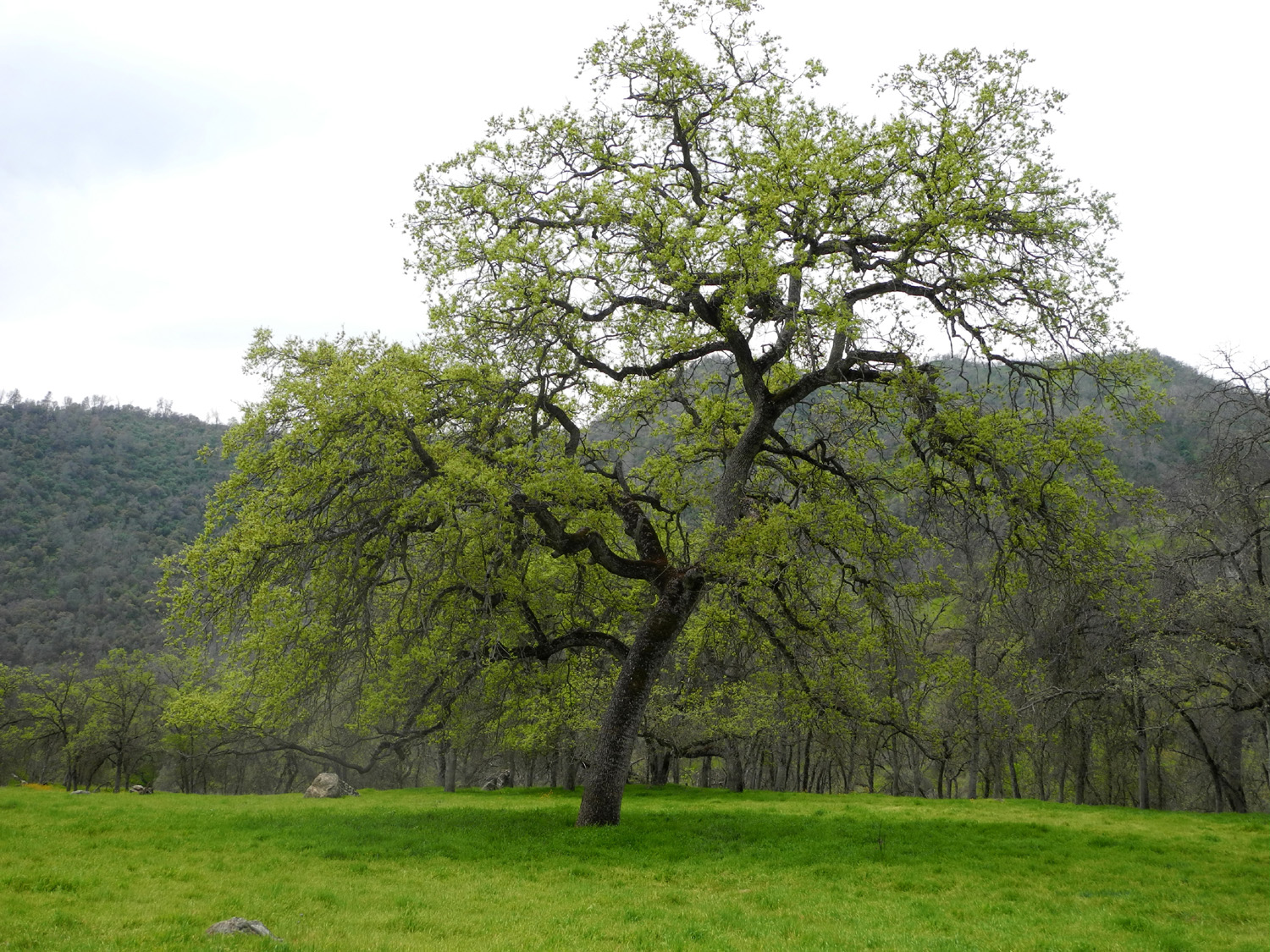
| A delightful blue oak, attired in bright green for spring | A long stretch of Eastman Lake, complete with island | Birds eye gillia above the lake |
 |
 |
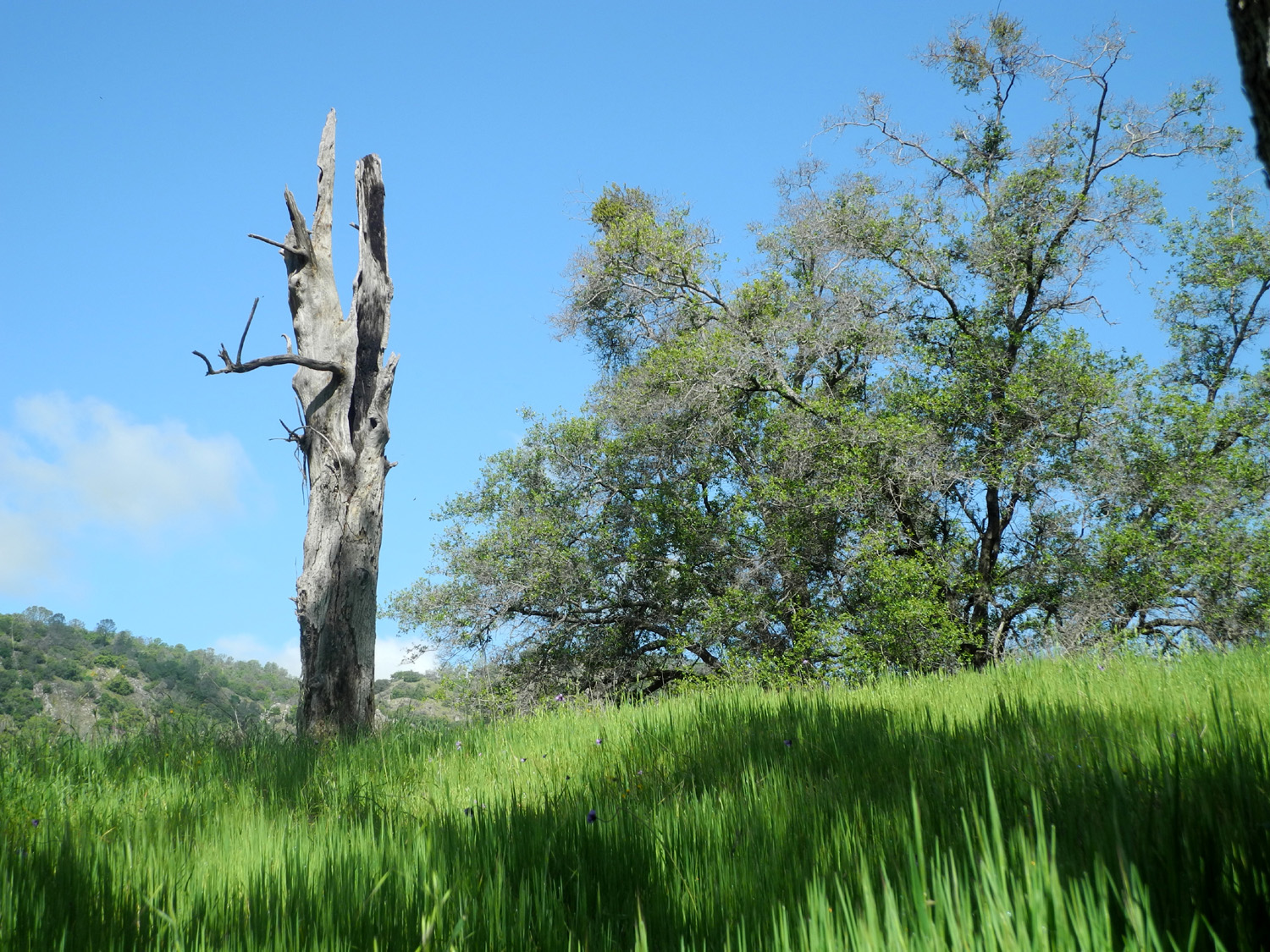 |
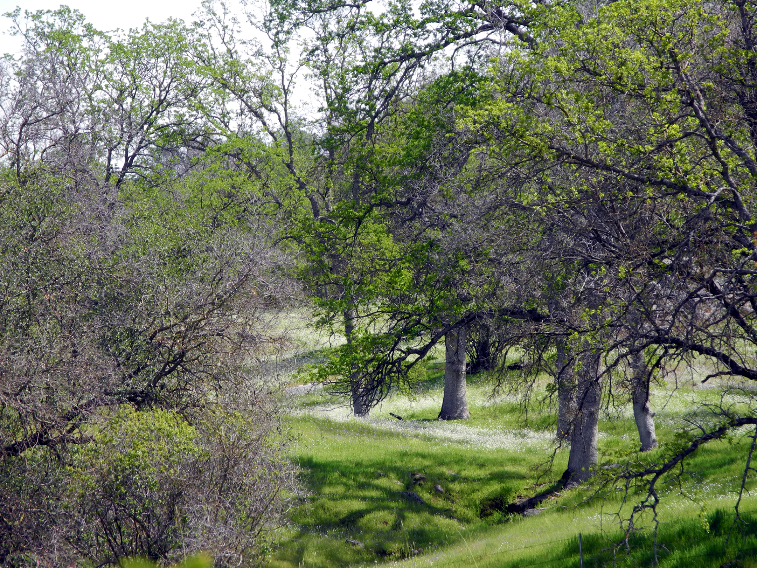
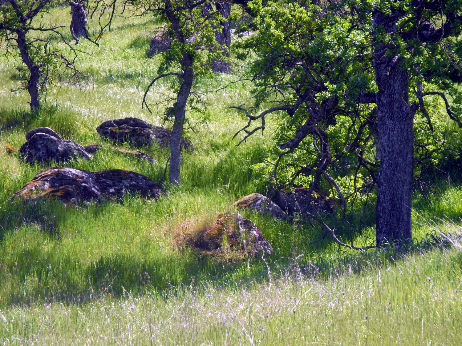
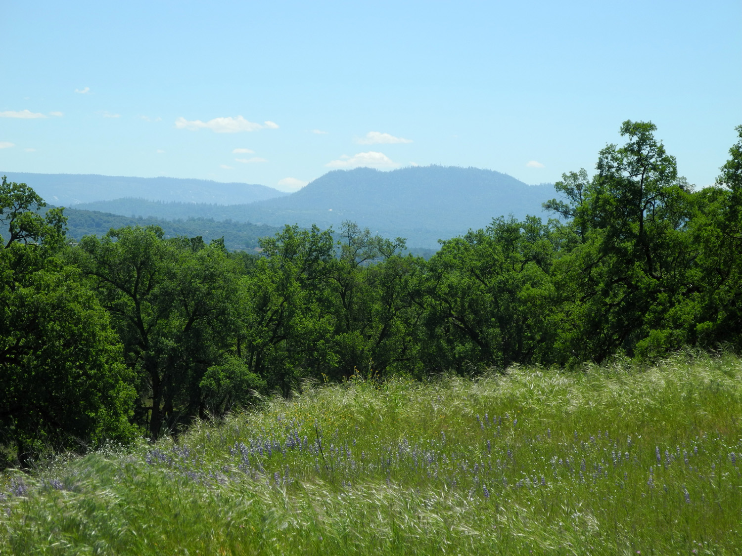
| Fence along the Lakeview Trail by Eastman Lake | Spring in the Sierra foothills | We call this ancient oak snag "The Watchman" |
 |
 |
 |
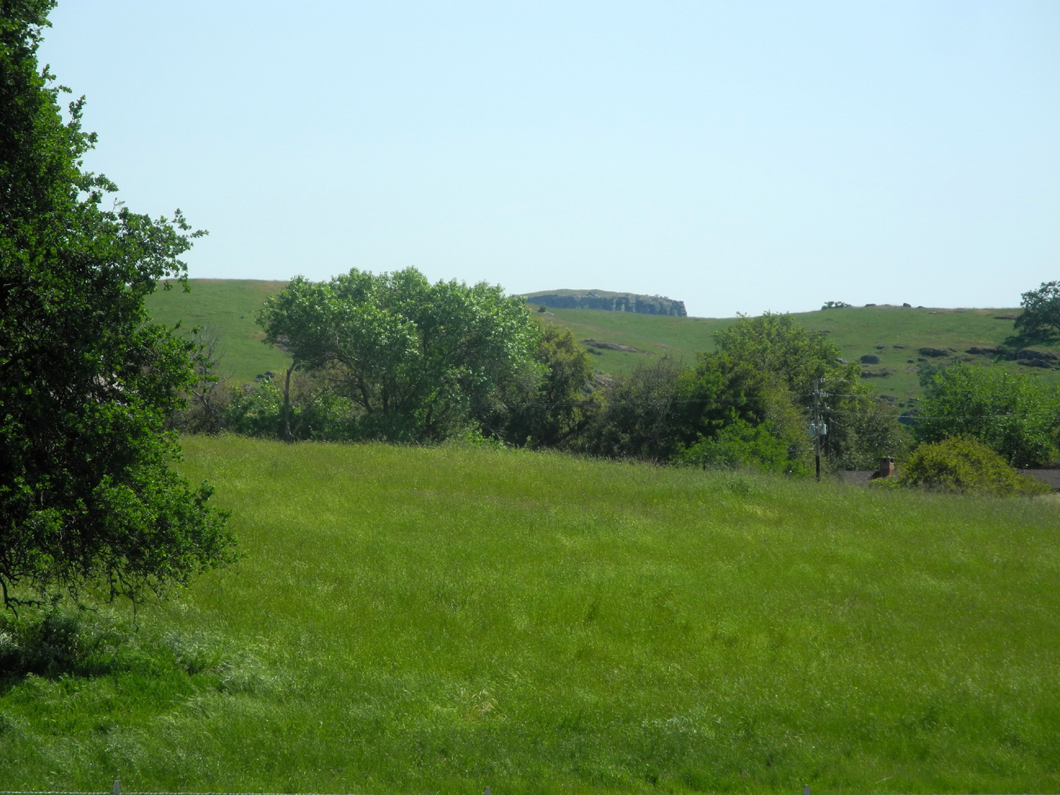
| Little Table Mountain peeks over the foothills | Buckeye and boulders, Madera County | Farewell-to-Spring
paint the hills above Pine Flat Reservoir pink |
 |
 |
 |
| The
water level at Pine Flat has been lowered to make room for the 2017 snow melt |
Running water,
aquatic plants and a swampy area in Ahwahnee Hills Regional Park |
A little creek near Ahwahnee |
 |
||
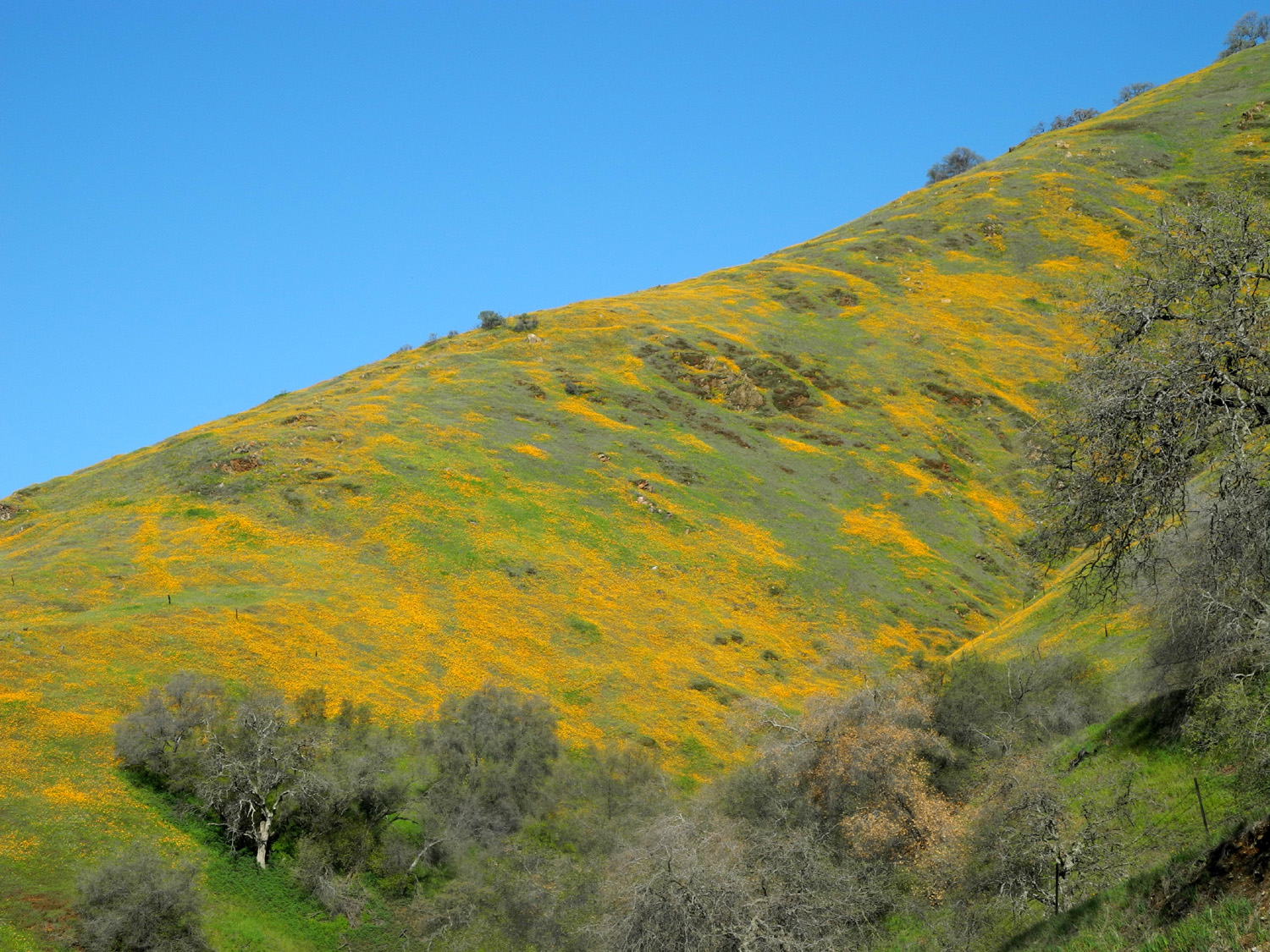
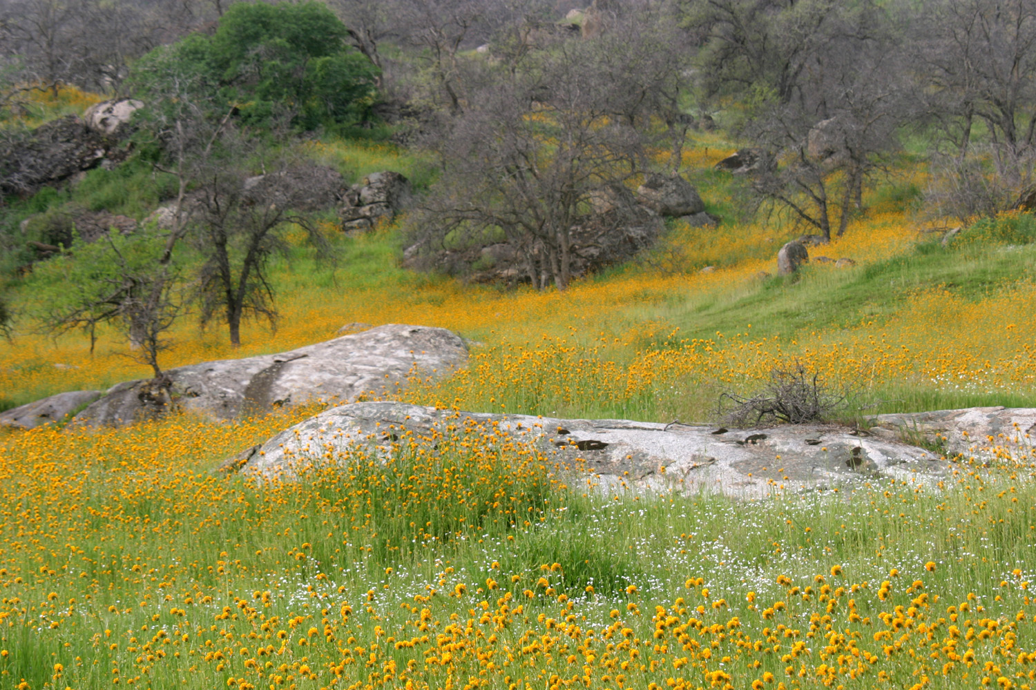
| Lupines create a patch of blue on this Madera County hillside | ||
 |
 |
 |
| Looking across the
Oakhurst valley from Ahwahnee toward Goat Mountain |
Springtime beauty in Ahwahnee |
Pond by the Lewis
Eaton Trail in |
 |
 |
 |
| Full view of the pond | At Centerville east of Fresno, Wes Thiessen biked through virtually unknown China Creek Park | Some
jagged rocks above the San Joaquin River Trail |
 |
 |
 |
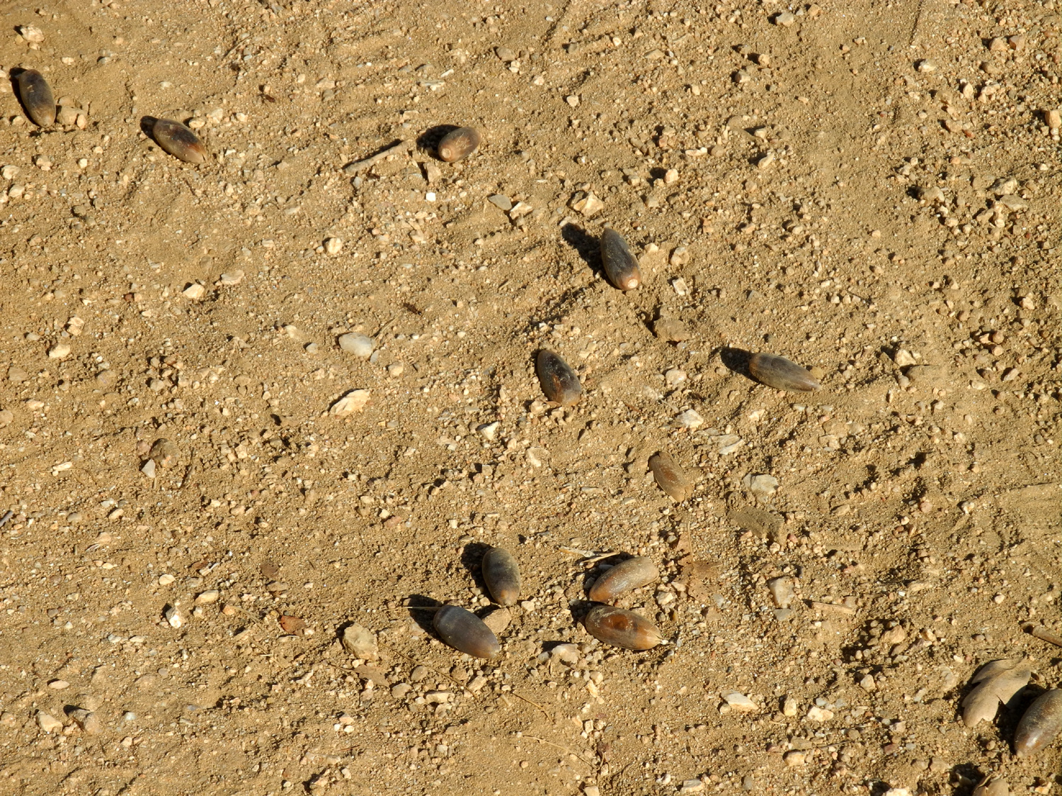
| The 2107 acorn crop is a good one | A small
island in Lake Millerton, framed through a rugged blue oak (WT) |
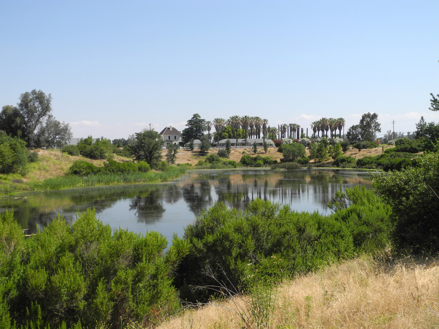
Palms
and a pond at the River Center, San Joaquin River north of Fresno |
 |
 |
 |
| New grass is ready to take over from the old | San Joaquin River below the bluffs west of Highway 41 | The area, known as River West, is the site of a future extension of the Lewis Eaton Trail |
 |
 |
 |
|
Visitors
enjoy the view on the |
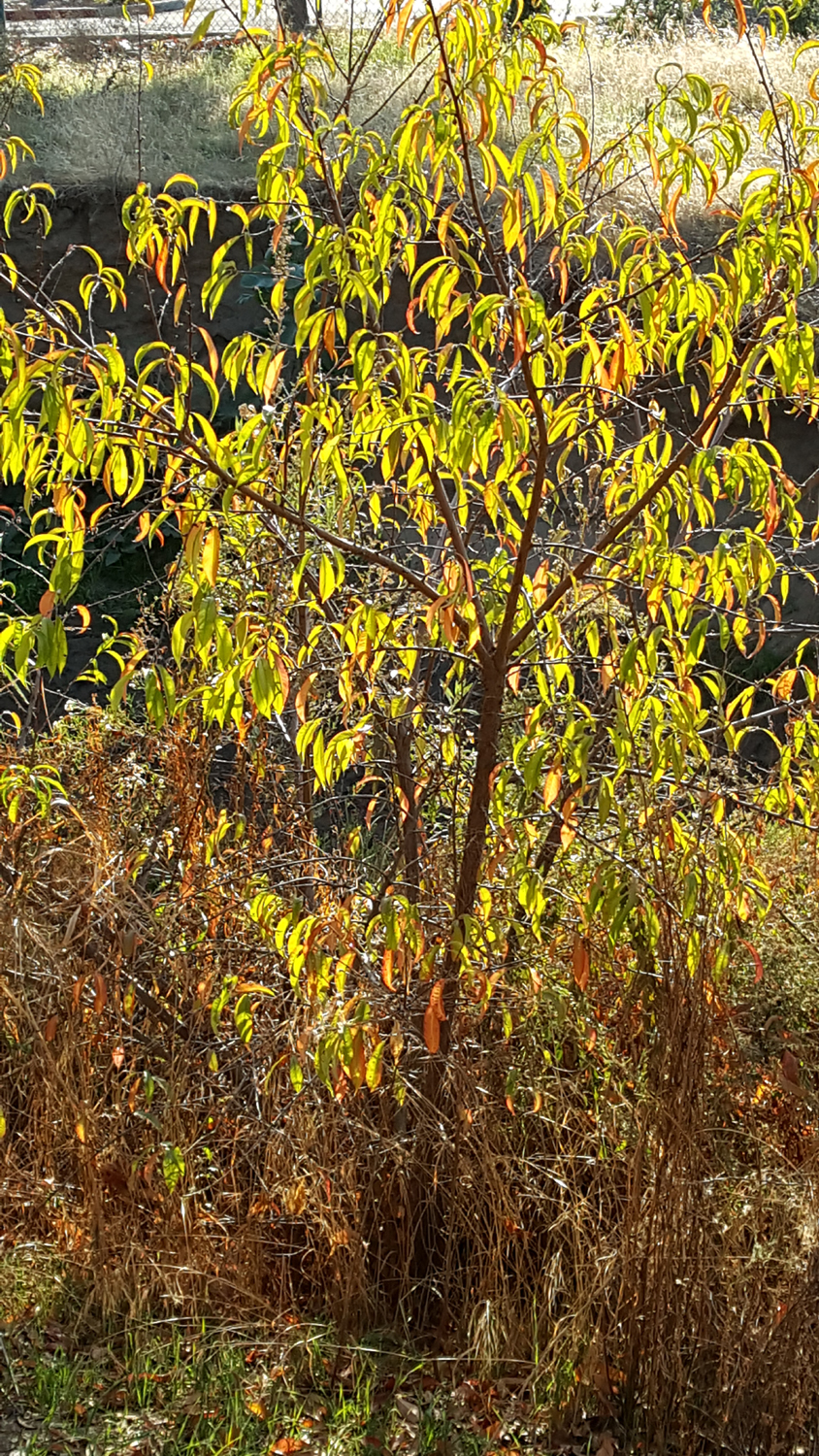
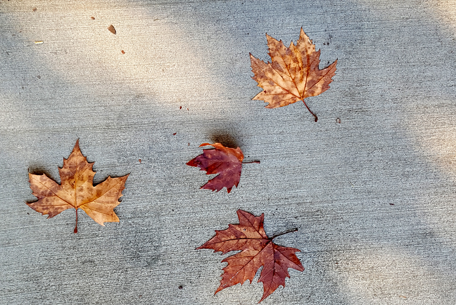
Volunteer peach tree by the Dry Creek Trail | Nature's leaf arrangement |
 |
 |
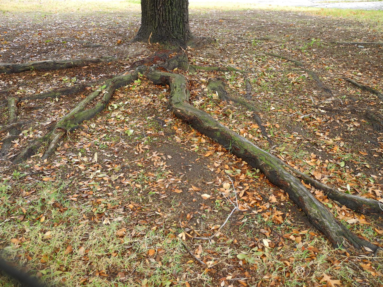 |
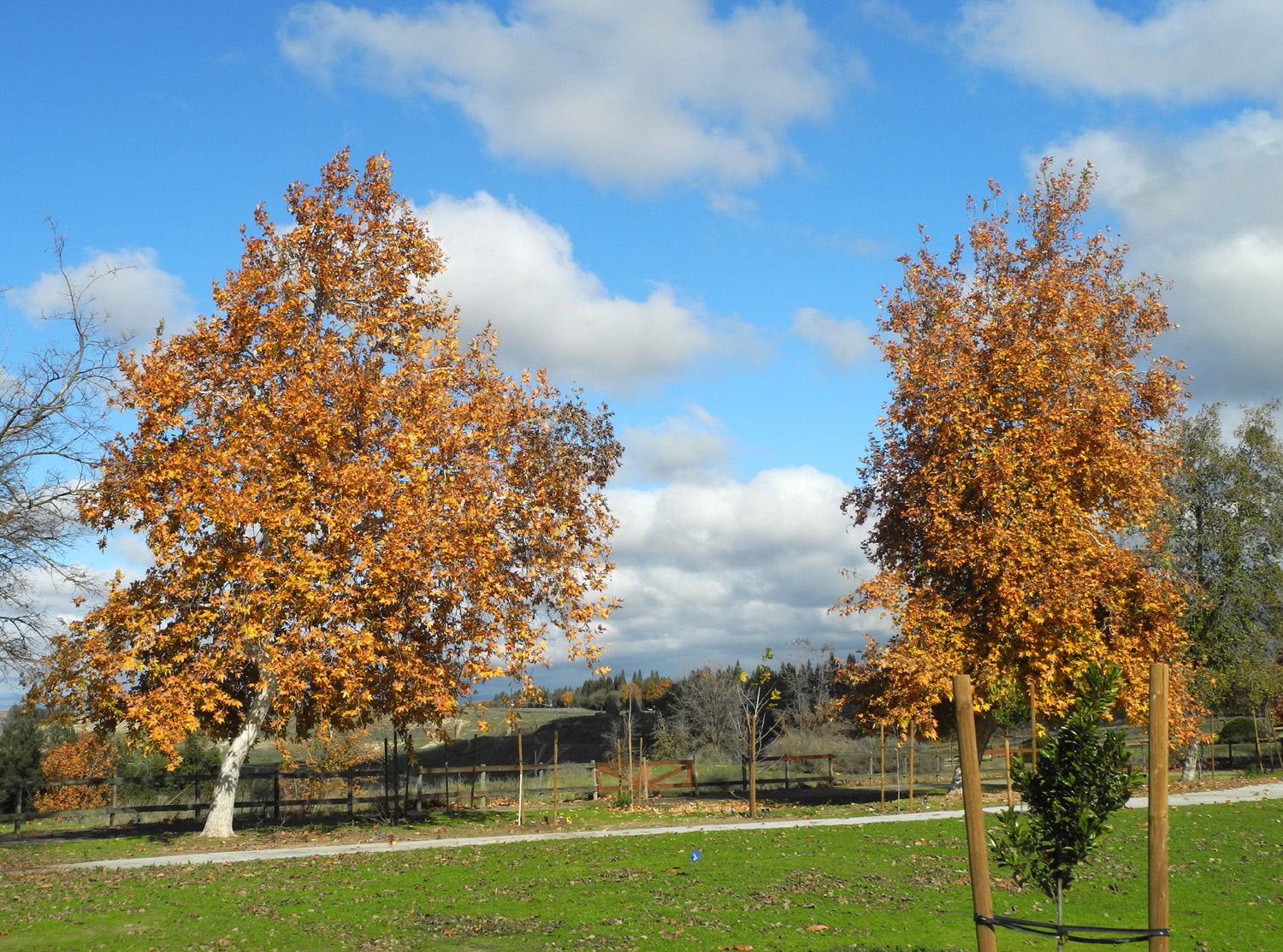
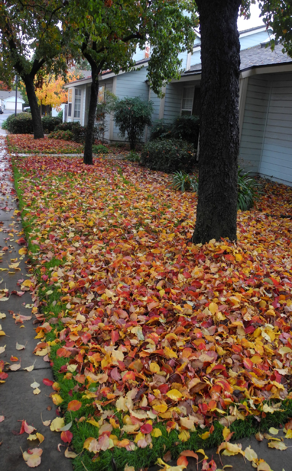
| Multi-color leaves cover the ground | More fall color | Above-ground roots |
 |
 |
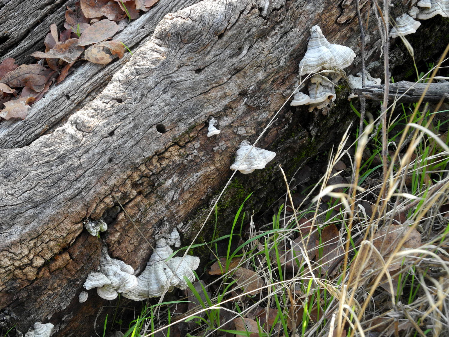 |
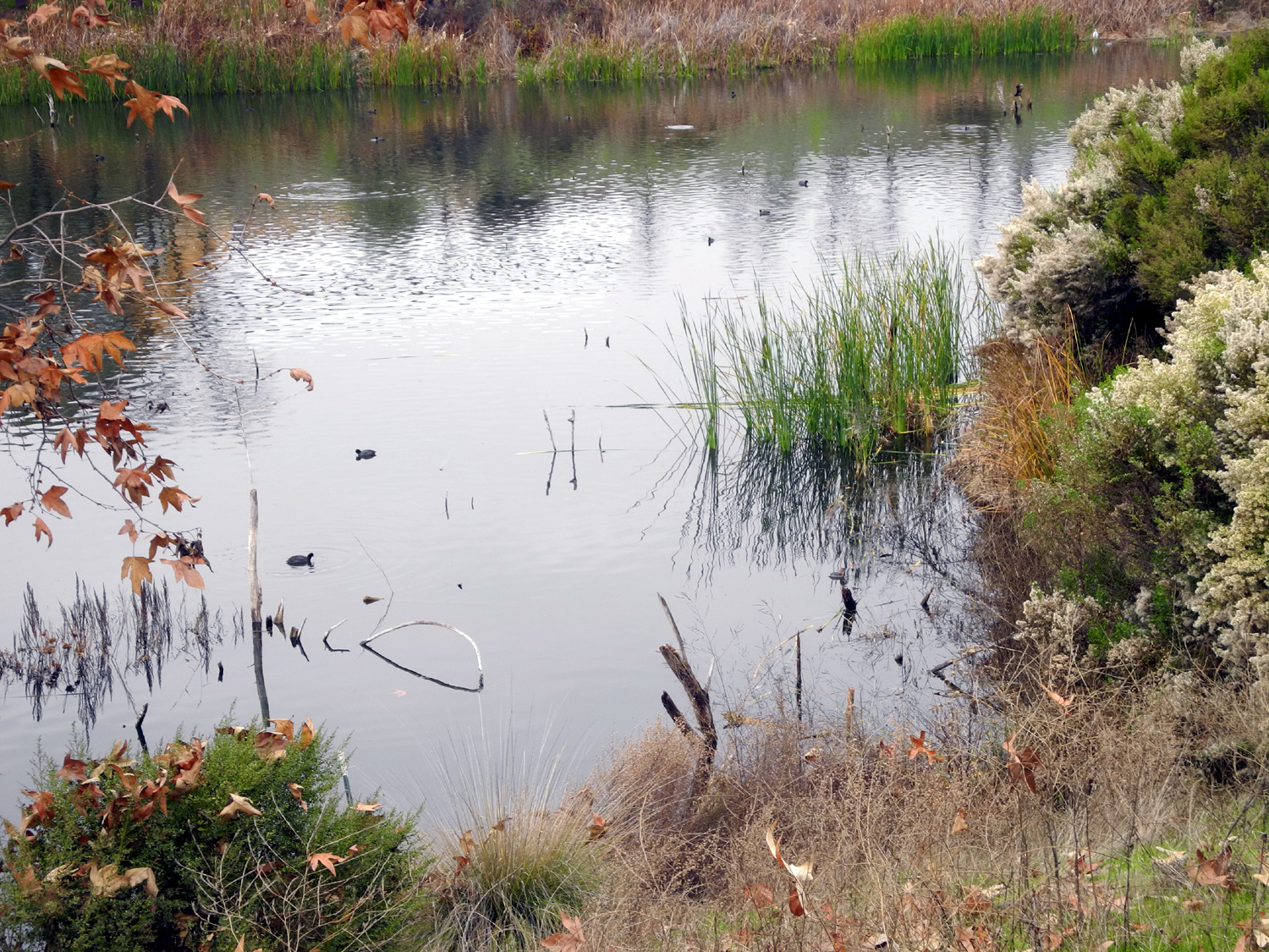
| Spider web sparkling with dew | Pond along the Lewis Eaton Trail, Fresno County | Fungus on a rotting log |
 |
 |
 |
| A forest of blue oaks by the Kings River | Ridges and canyons in the Upper Kings area | Rocky cliffs high on Rogers Ridge, the divide between the main Kings River and its North Fork |
 |
 |
 |
| Entrance to Fleming Ranch on Auberry Road | A rugged old sycamore by Millerton Road | Blue oak on a slope above Lake Millerton |
 |
 |
 |
| "Arsty-fartsy" photo of oak limbs by Lake Millerton | Lichen
creates a spot of red and orange amid the green |
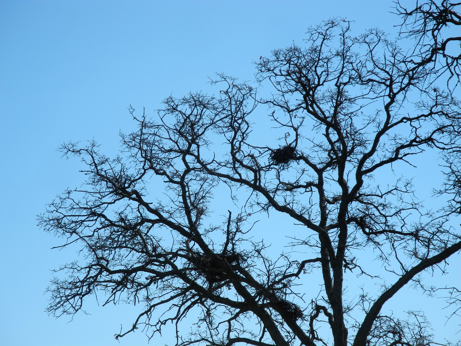
Hawk nests in a blue oak |
 |
 |
 |
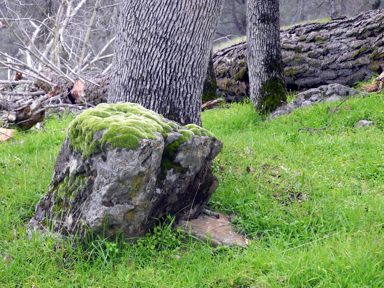
| Nature's landscaping | Deadwood Mountain, west of Highway 41 and just south of Oakhurst in Madera County | Mossy rock and pine cones near Pine Flat Lake |
 |
 |
 |
| Granite
outcropping in the Sycamore Creek drainage near Pine Flat |
Except
when it's been raining, this "upholstered" Rock is a good place to rest |
Looking down the dirt section of Trimmer Springs Road, on the north side of the Kings River |
 |
 |
 |
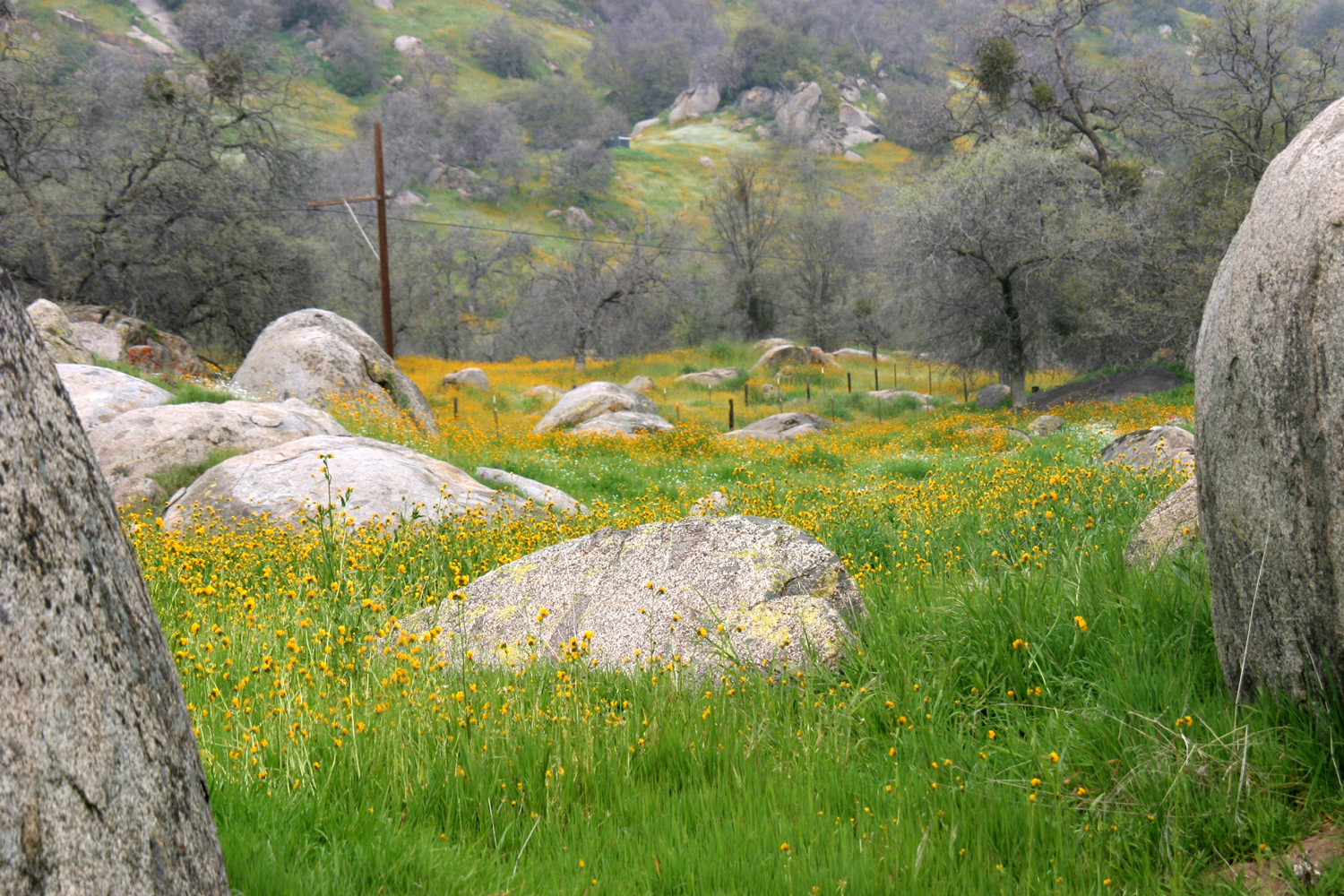
| Poppies on the hills above the Kings River | Trail through the Ahwahnee Hills Preserve | Creek in the preserve |
 |
 |
 |
| Pond at Ahwahnee Hills | The
scary road from Balch Camp to Black Rock Reservoir |
A bridge along the road |
 |
||
| Fiddlenecks and popcorn flowers along Little Dry Creek | ||
 |
 |
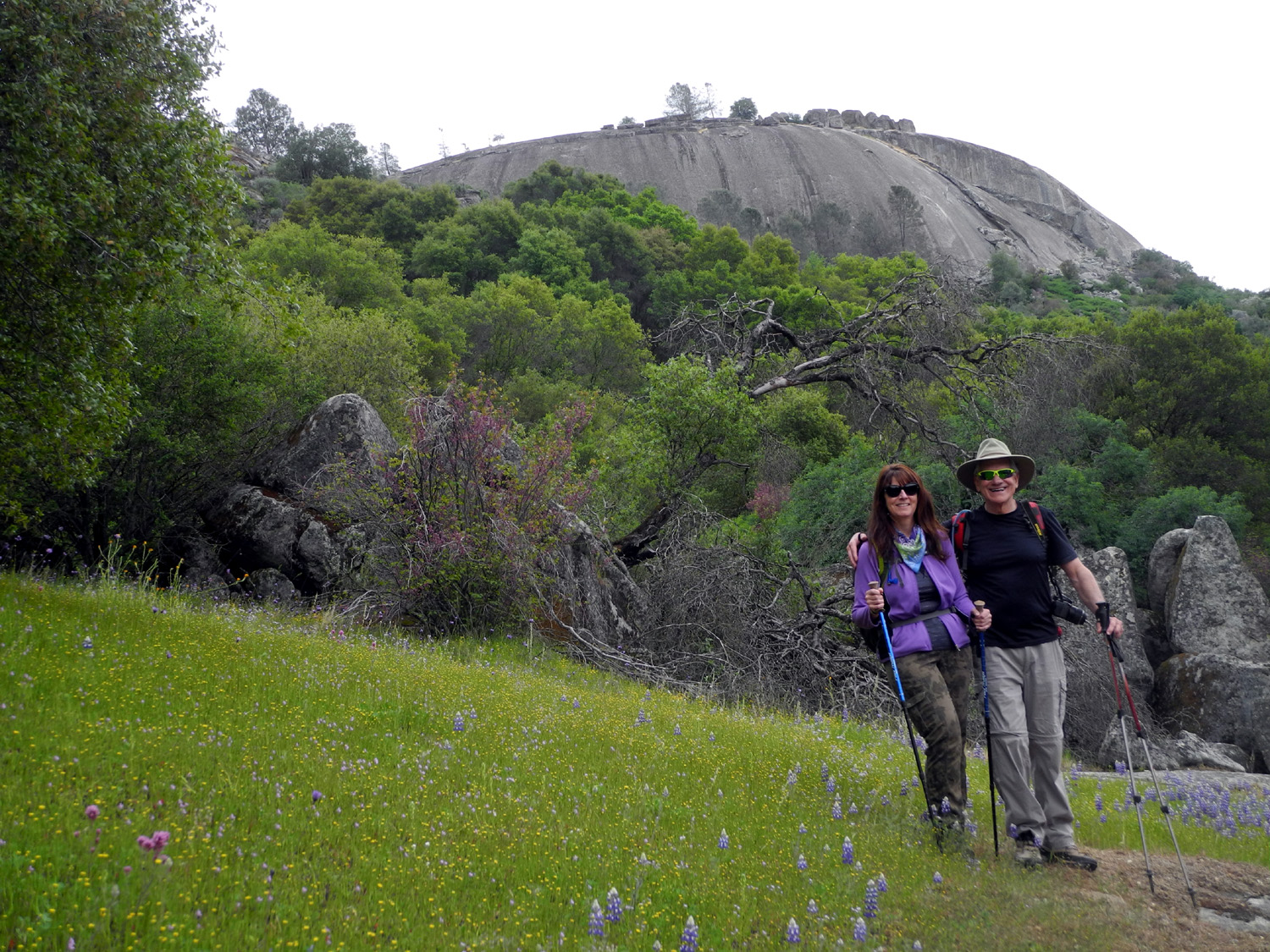 |
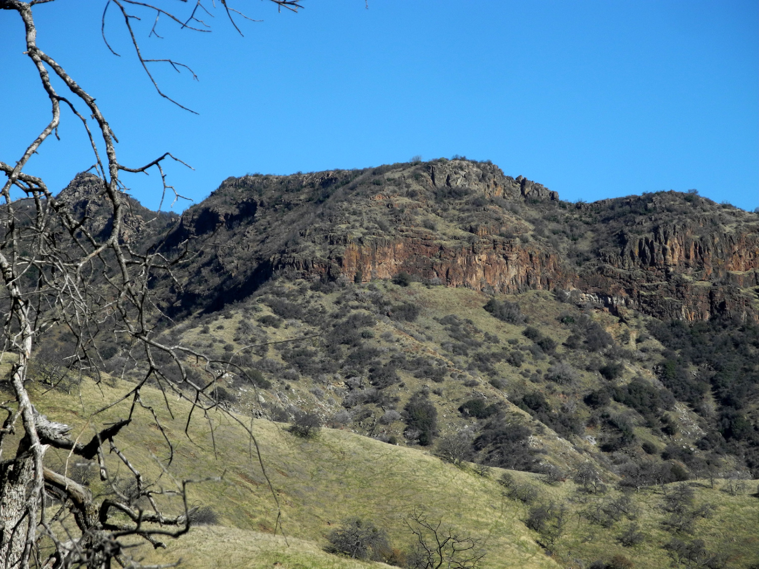
| Pine Flat Reservoir from Secata Ridge | Striped Rock, Mariposa County | Earth Day hike at Striped Rock Ranch Preserve |
 |
 |
 |
| The view from the top of the rock | The Fresno River in Oakhurst CA | The Leaning Pine at Neely's in the snow |
 |
||
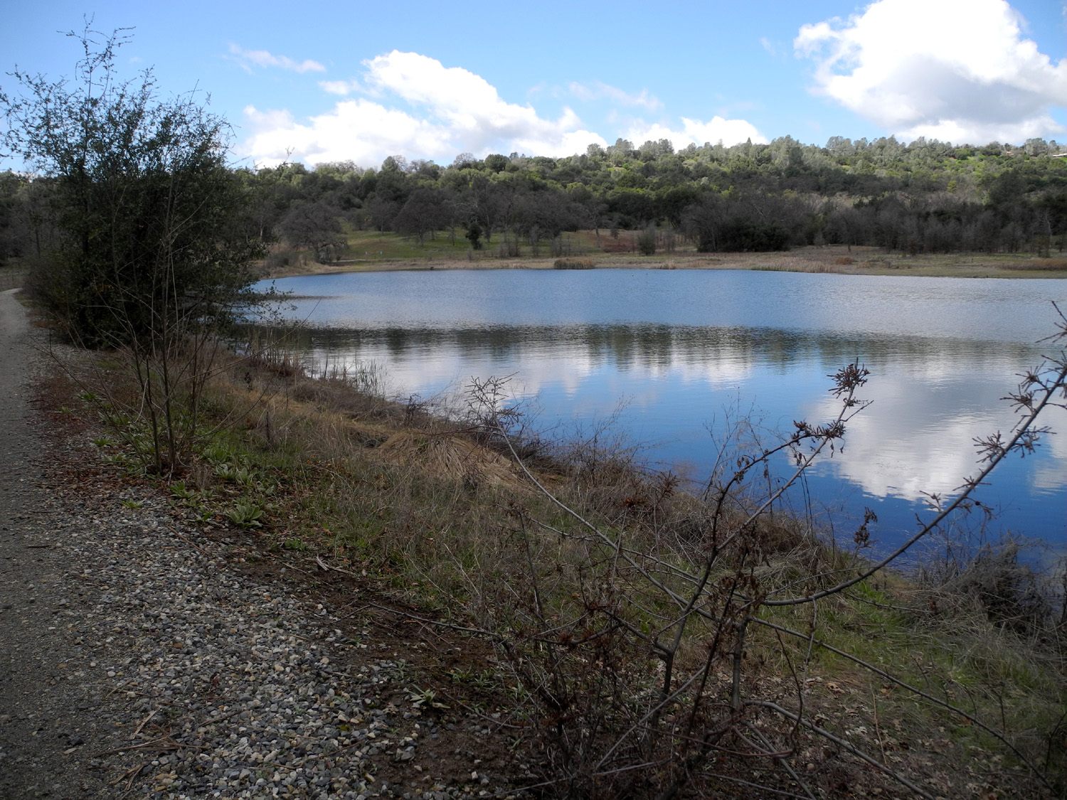
| Cove at Sky Harbor on Millerton Lake (same scene with more water) | ||
 |
 |
 |
| Buckeye above Oakhurst after five inches of snow | Same tree after six more inches | Fall
along a rural road in Madera County (J. Neely) |
 |
 |
 |
| Lake Millerton from ridge near Sky Harbor | Oak Tree across the trail | Dried grass |
 |
 |
 |
| View
from the San Joaquin River Trail near Sky Harbor on a sunny January day |
A fallen dead pine is held up by a dead oak | Hikers
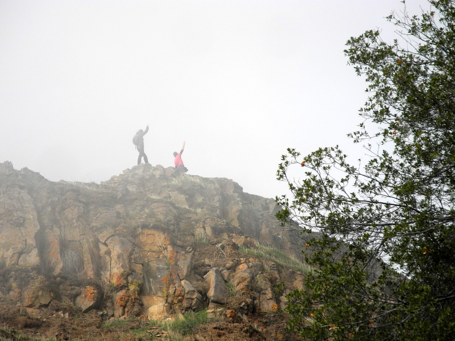
wave from the misty top of Pincushion Peak |
 |
 |
 |
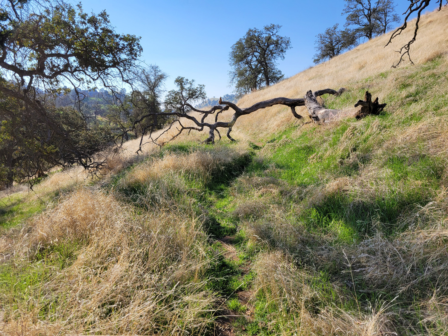
| This old road has become a favorite hiking trail | Spring scene at the San Joaquin Gorge | Natural bird bath |
 |
 |
 |
| Fiddlenecks
and popcorn flowers at Sycamore Picnic Area by Pine Flat |
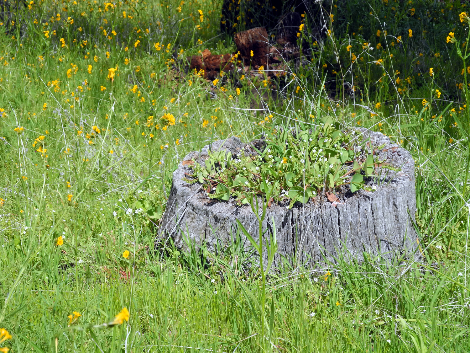
This
old stump has become a planter for miner's lelttuce |
Pond
at Ahwahnee Hills Regional Park in Madera County |
 |
 |
 |
| Rock formation with
dead grass by the upper Kings River |
A perfect day at Pine Flat Lake |
View up the Kings River canyon from Trimmer Springs Road at Piedra |
 |
|
|
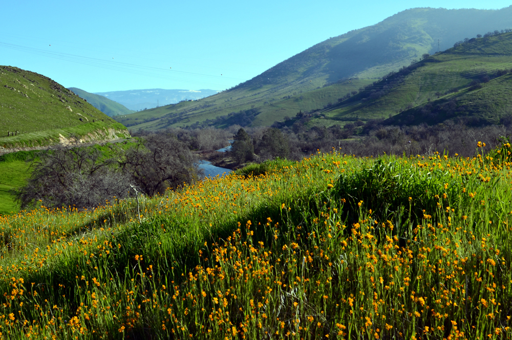
| Poppy-covered
ridge between the North and Main Forks of the Kings River |
Mill
Flat Creek, near where it joins the Kings River |
Manzanita Lake near North Fork |
 |
 |
|
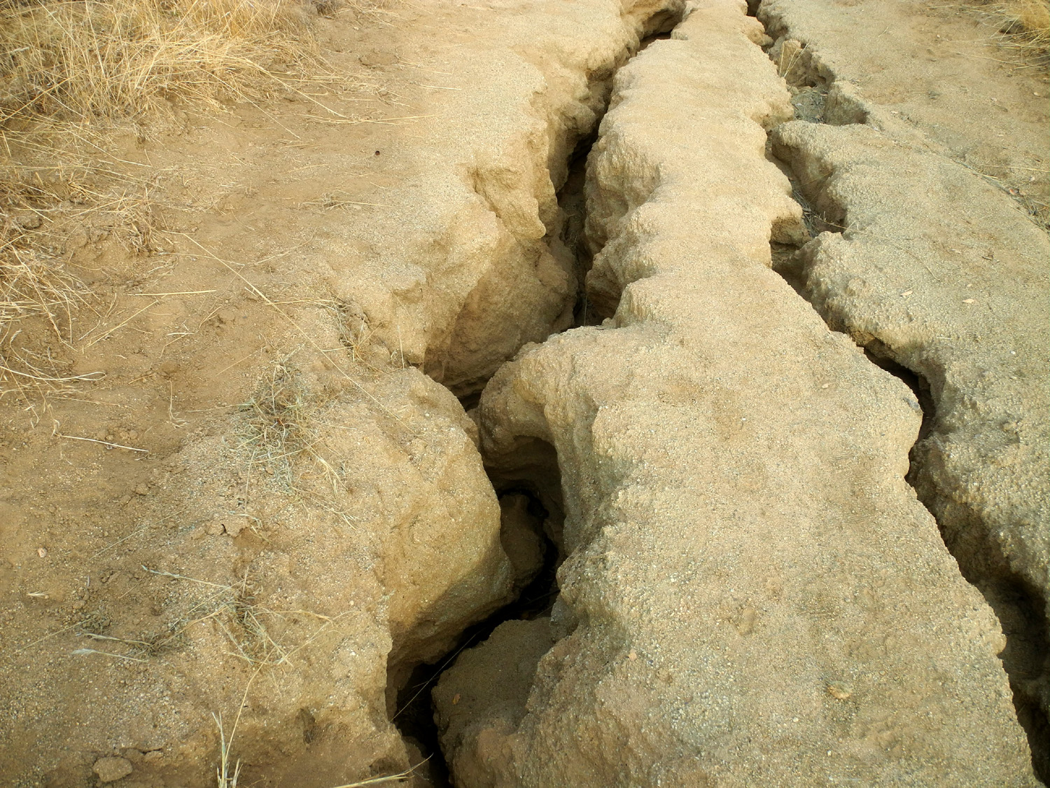
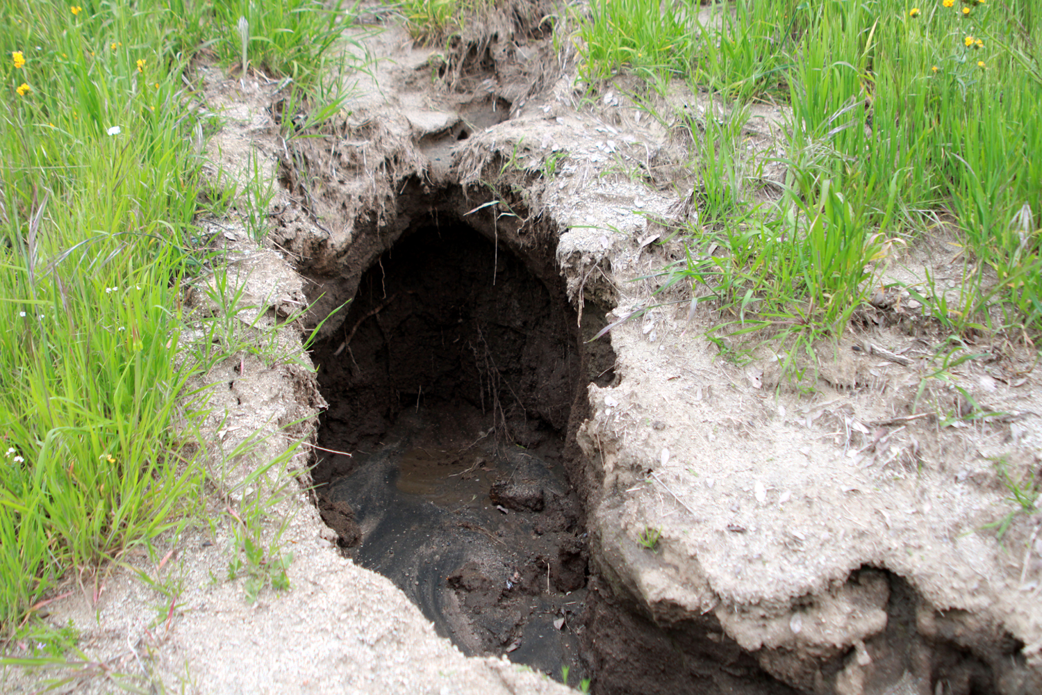
| Spring along Road 211 in Madera County | Late spring flowers along the road | Gullies eroded in trail at Hensley Reservoir |
 |
||
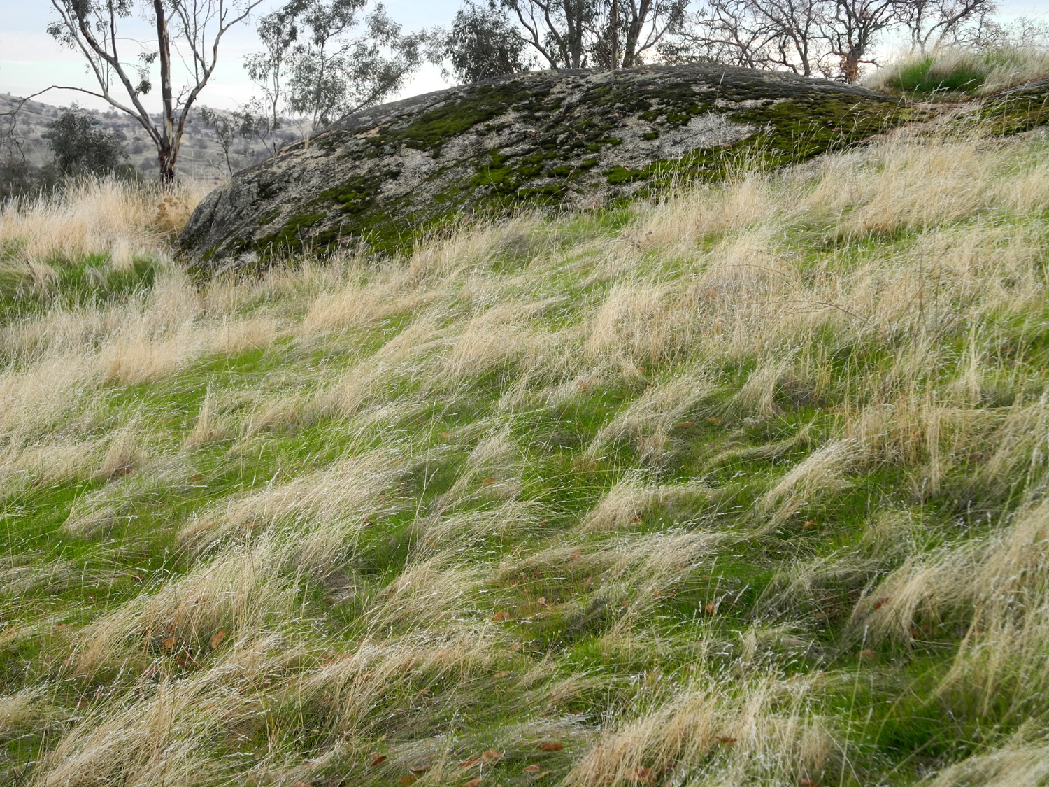
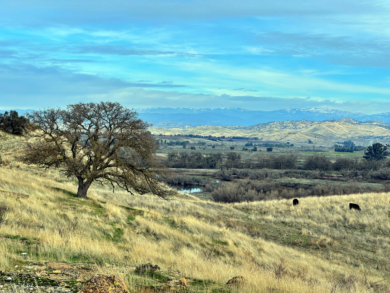
| A tranquil Sierra foothills scene | ||
 |
 |
 |
| View
from Auberry and Millerton Roads, February 2021 |
Fringed redmaids against an old log | Fiddlenecks by the fence |
 |
 |
 |
| Leaf tapestry in Clovis | A new delta of soil along the Lewis S. Eaton Trail | Where some of it came from |
 |
 |
 |
| River rocks
along Tesoro
Viejo Trail, fused
together in sediment that was once at the bottom of the river |
Rocky aggregate in a drainage by the trail | Sierra
Snow; in the middle the mouth of Little Dry Creek just before it flows into the San Joaquin River |
 |
 |
 |
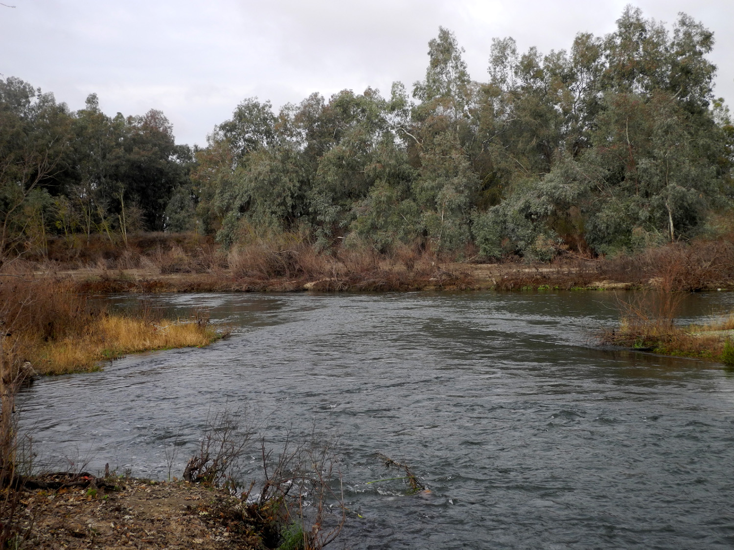
| San Joaquin River by Sumner Peck Ranch | The river and bluffs below Tesoro Viejo | New leaves on blue oak at Pine Flat |
 |
 |
 |
| Spring scene at Sycamore Wildlife Area | Along
the Tesoro Viejo Trail above the San Joaquin River |
Bridge and barn at Ahwahnee Hills Park |
 |
 |
 |
| Millerton
Lake sparkles in the winter sun in December 2022 |
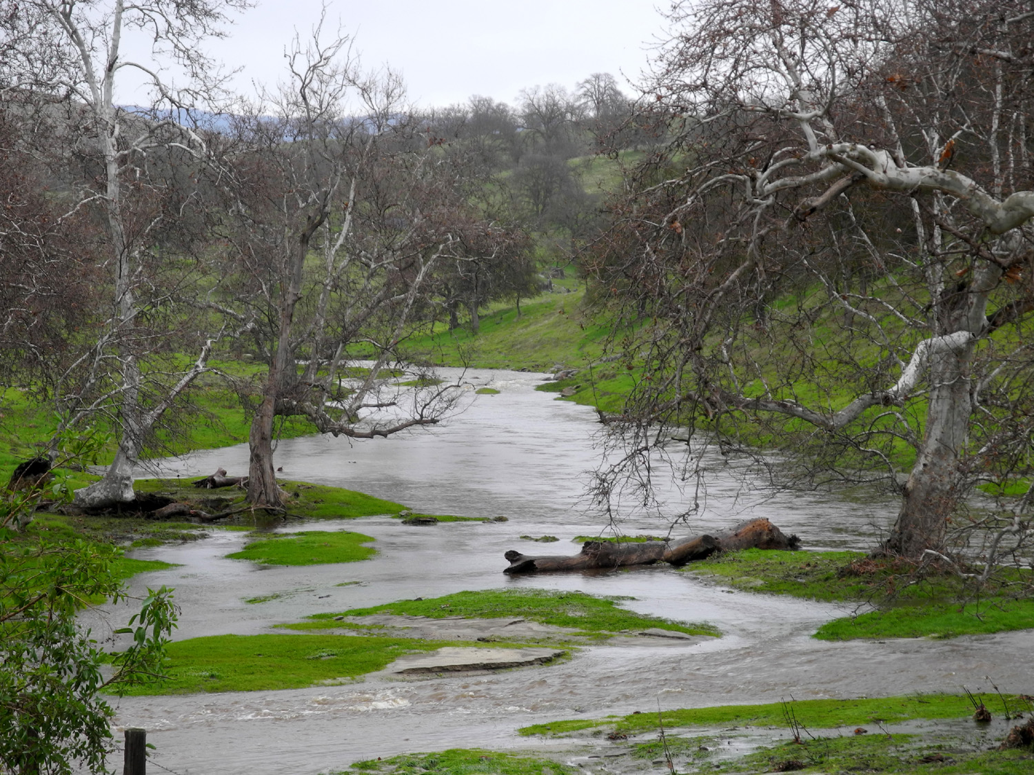
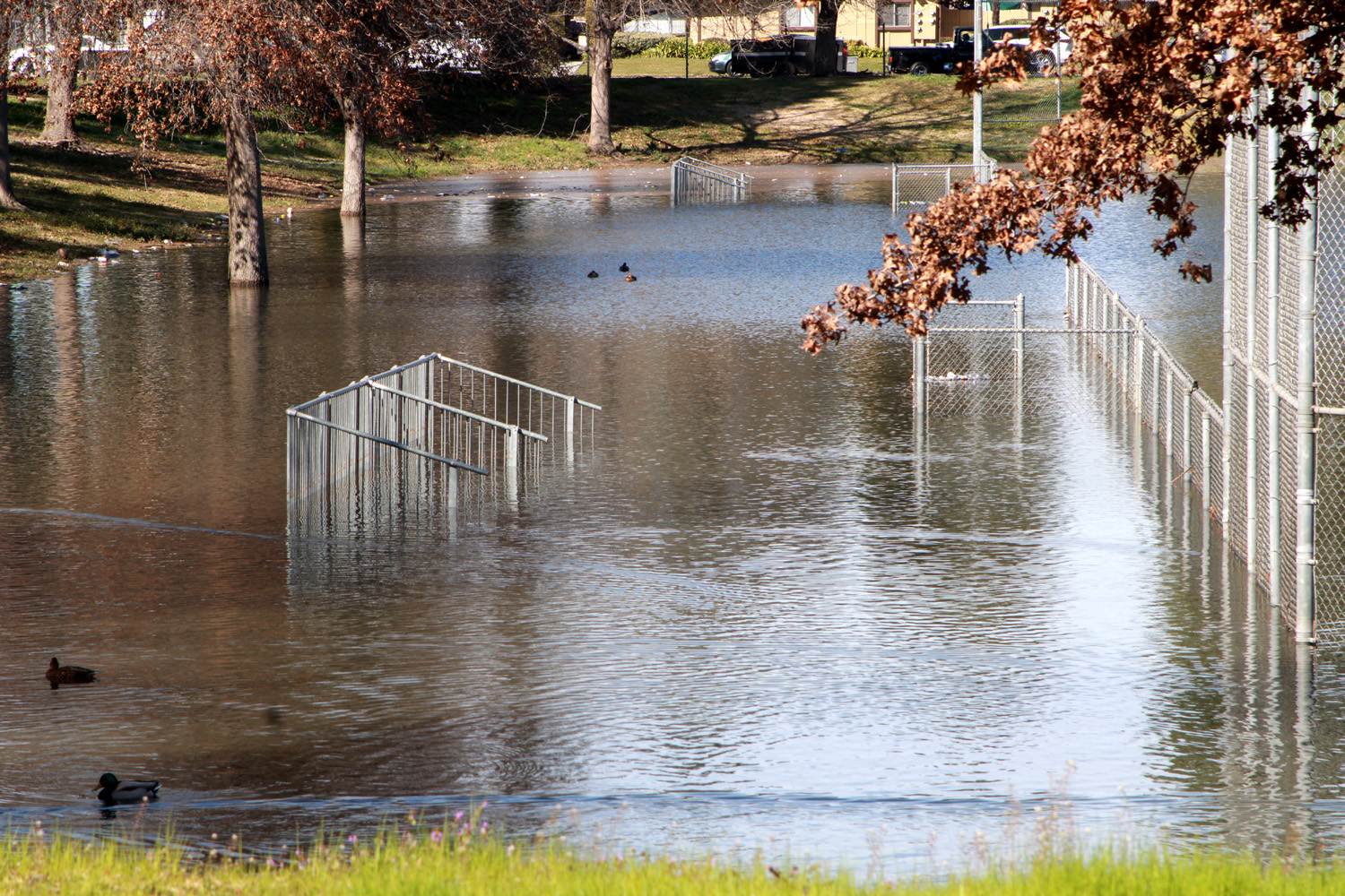
Record
rains in January 2023 flooded the bottom seat of the bleachers in Rotary Park |
In March, even more rain fell |
 |
 |
 |
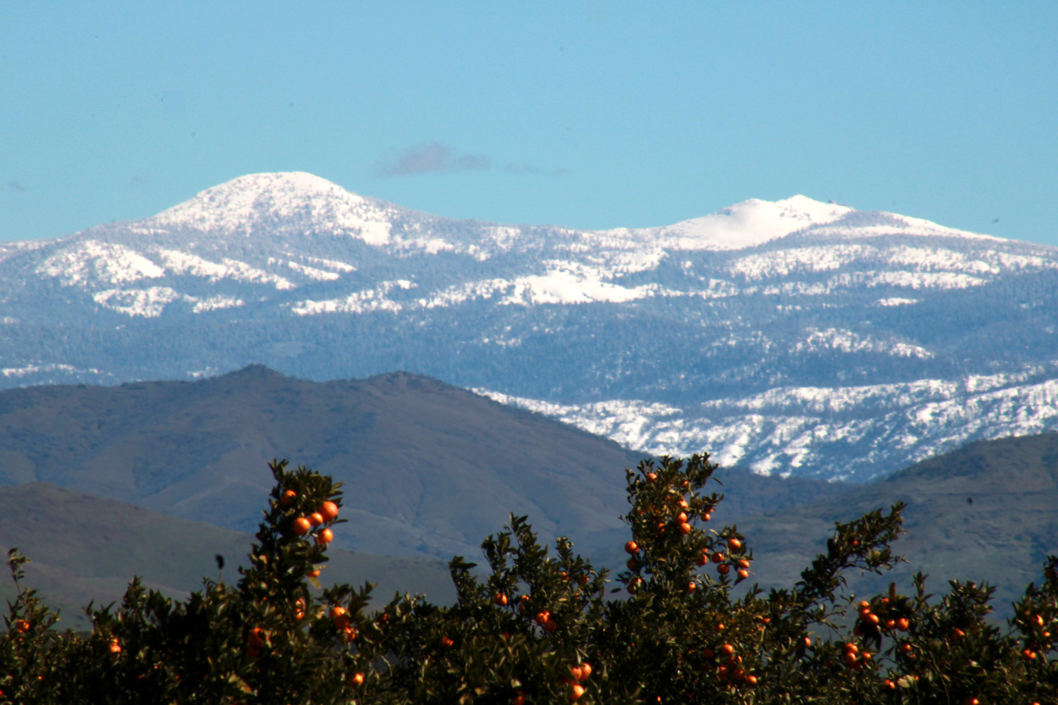
| A cloudy winter day at Pine Flat Reservoir | A true California scene - oranges and snow | Pine Flat Dam and Sierra snow |
 |
 |
 |
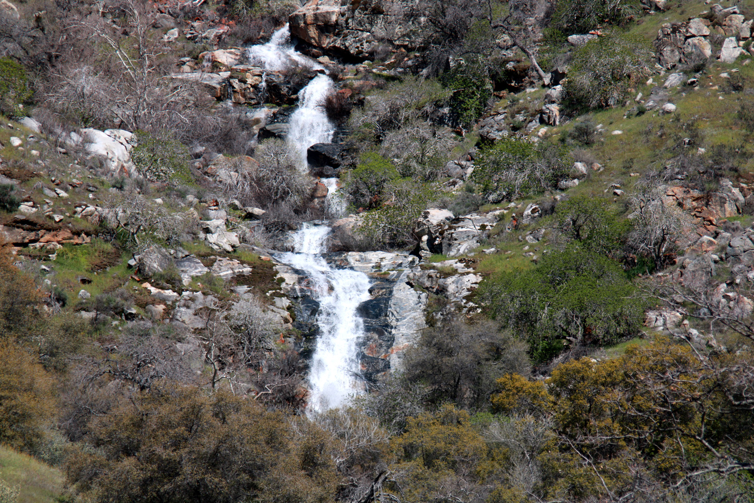
| Falls on Secatta Ridge above Pine Flat | Fantastic
lighting effects during an approaching storm over Pine Flat |
A study in blue, white and green (Thiessen photo) |
 |
 |
 |
| This dark cloud opened up just as we reached the safety of our cars during an April 2023 hike (T. Liddle) | Clouds add drama to these photos by Wes Thiessen at Millerton Lake in March 2023 | |
 |
 |
 |
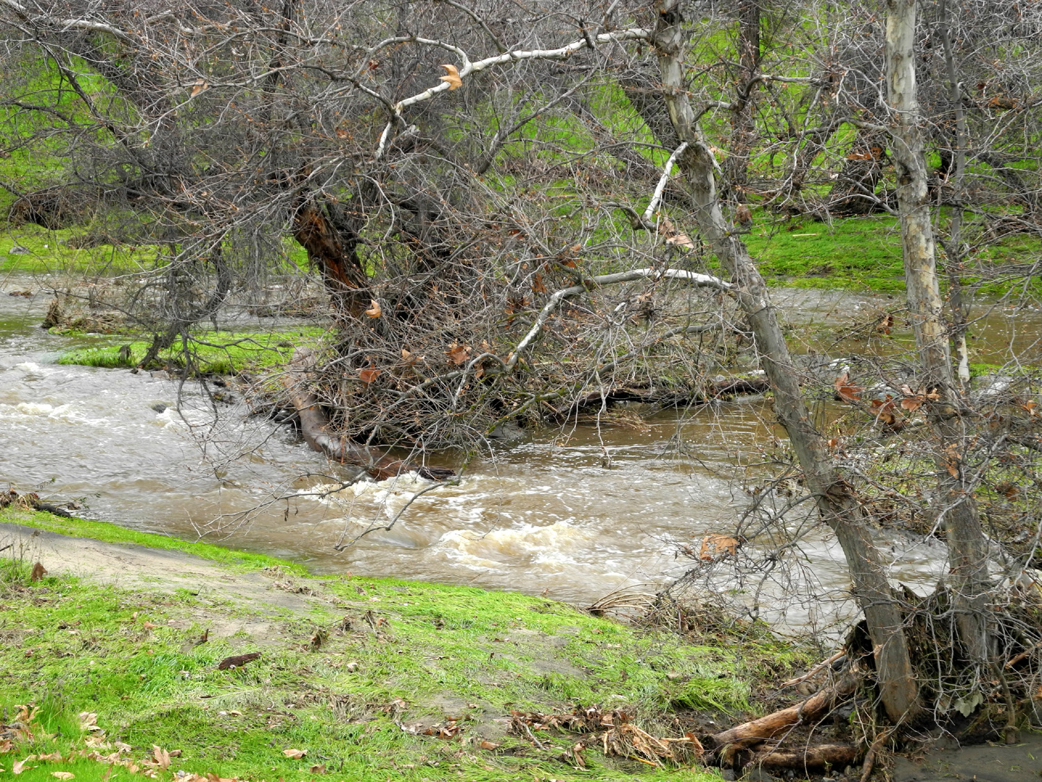
| Washout along a foothill trail, 2023 | Fallen tree by Watts Creek, Fresno County | The Upper Kings River, May 2023 |
 |
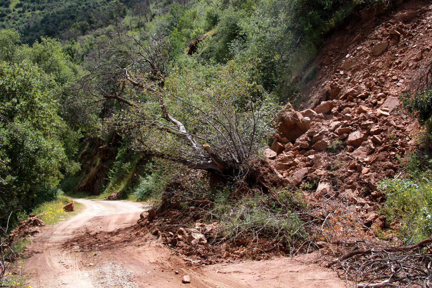 |
 |
| This huge slide brought down tons of rock and dirt, plus a couple of good-size trees | Pond at Ahwahnee Hills (Crandall) | |
 |
 |
 |
| Farm
land and foothills near the San Joaquin River north of Fresno |
Vista
from the Tesoro Viejo Trail in Madera County (Wes Thiessen photo) |
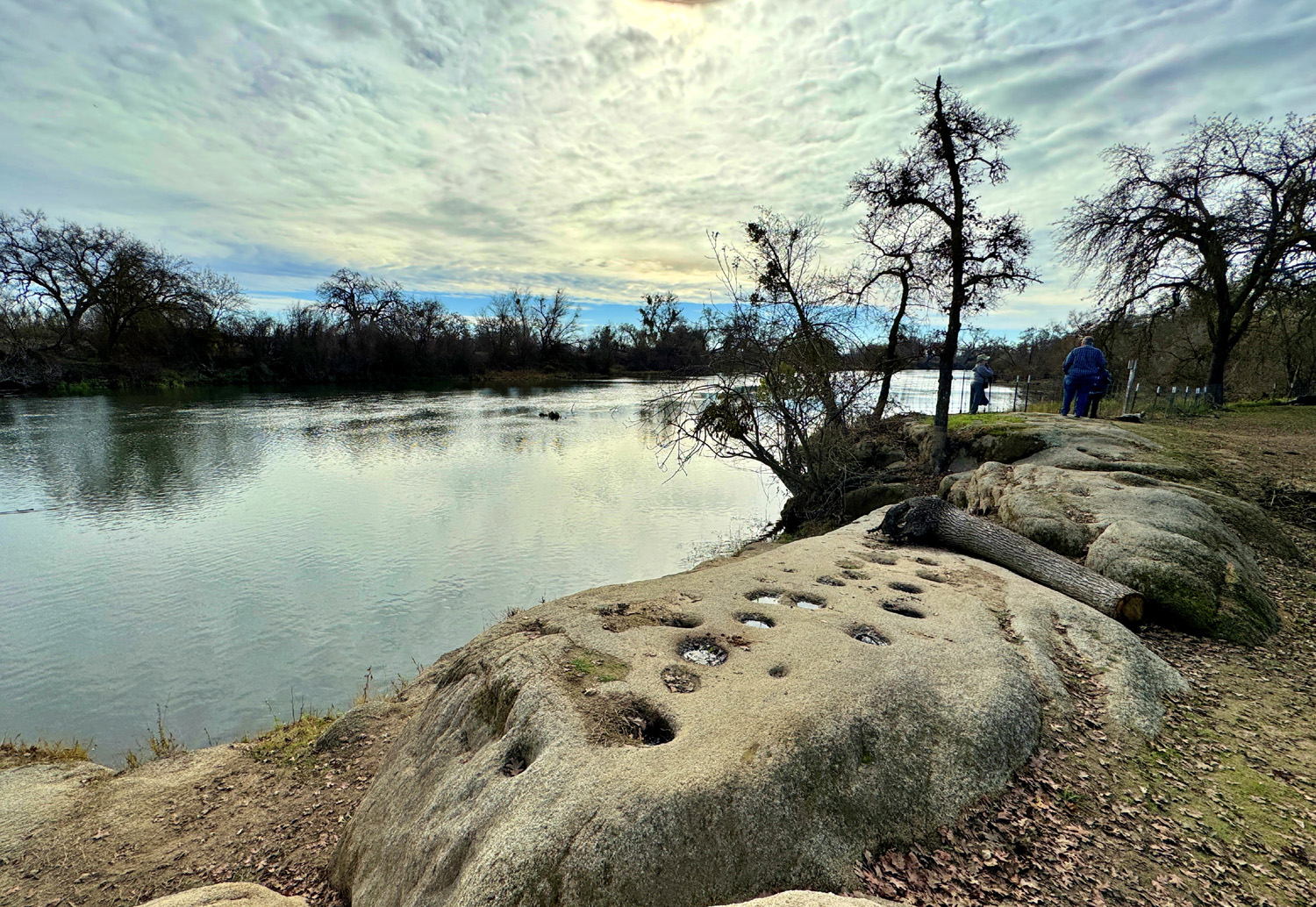
San
Joaquin River and bedrock mortars (Thiessen photo) |
 |
 |
 |
| Outcroppings
of cemented river rock by Tesoro Viejo Trail |
Flattened
dry grass near Lake Millerton (cause unknown) |
Dramatic
clouds above a driftwood-filled cove on Millerton Lake |
 |
 |
 |
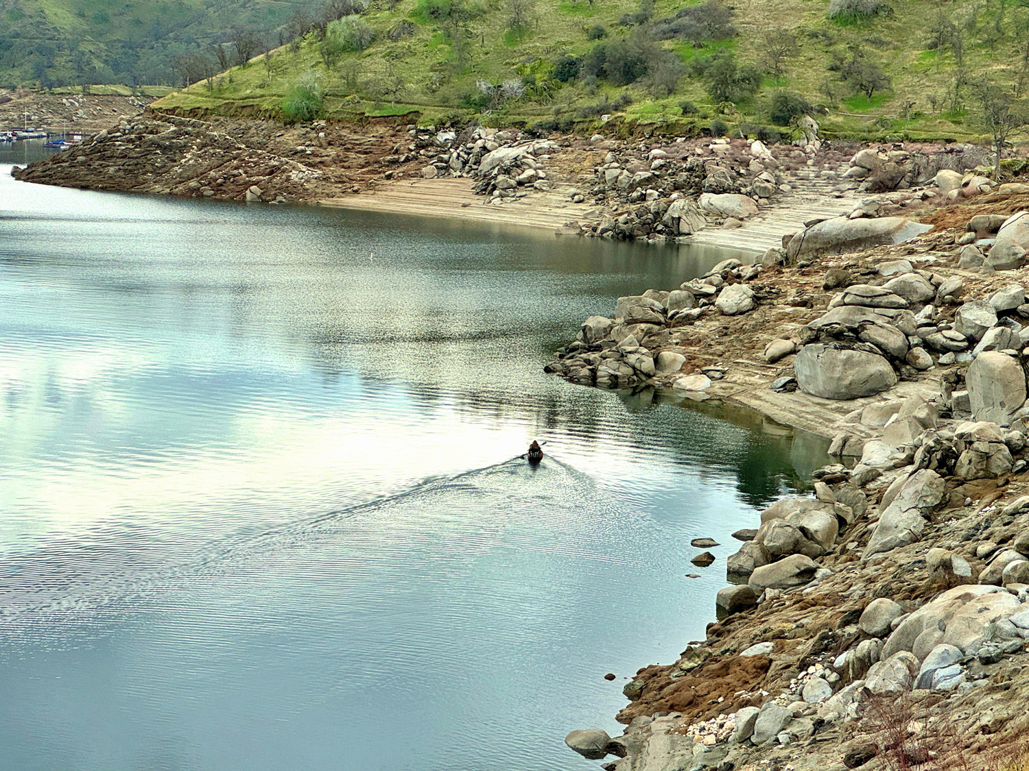
| Lone boater on the lake | Old fence by Dry Creek Canal | Flood basin near Clovis & Alluvial |
 |
 |
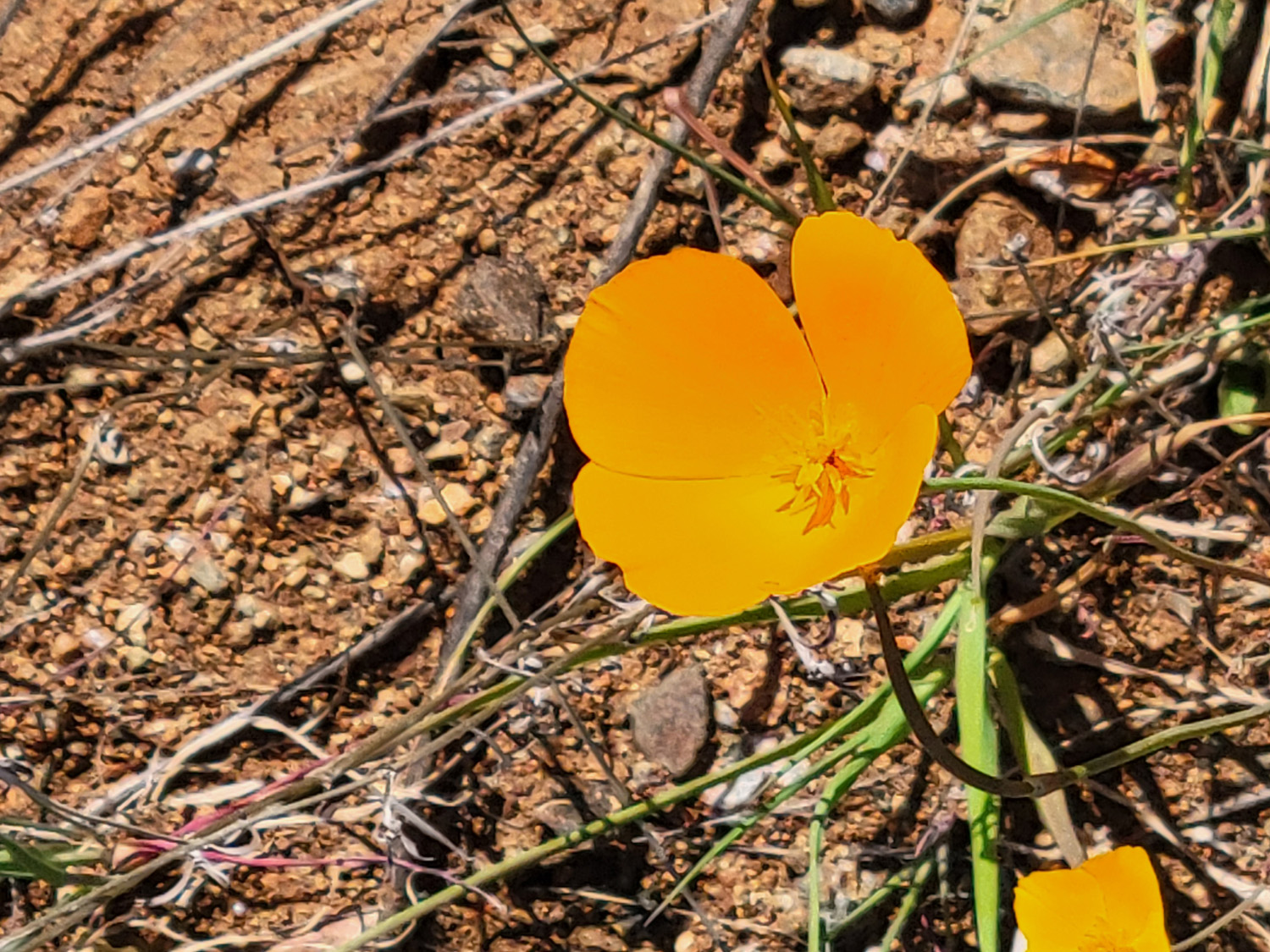 |
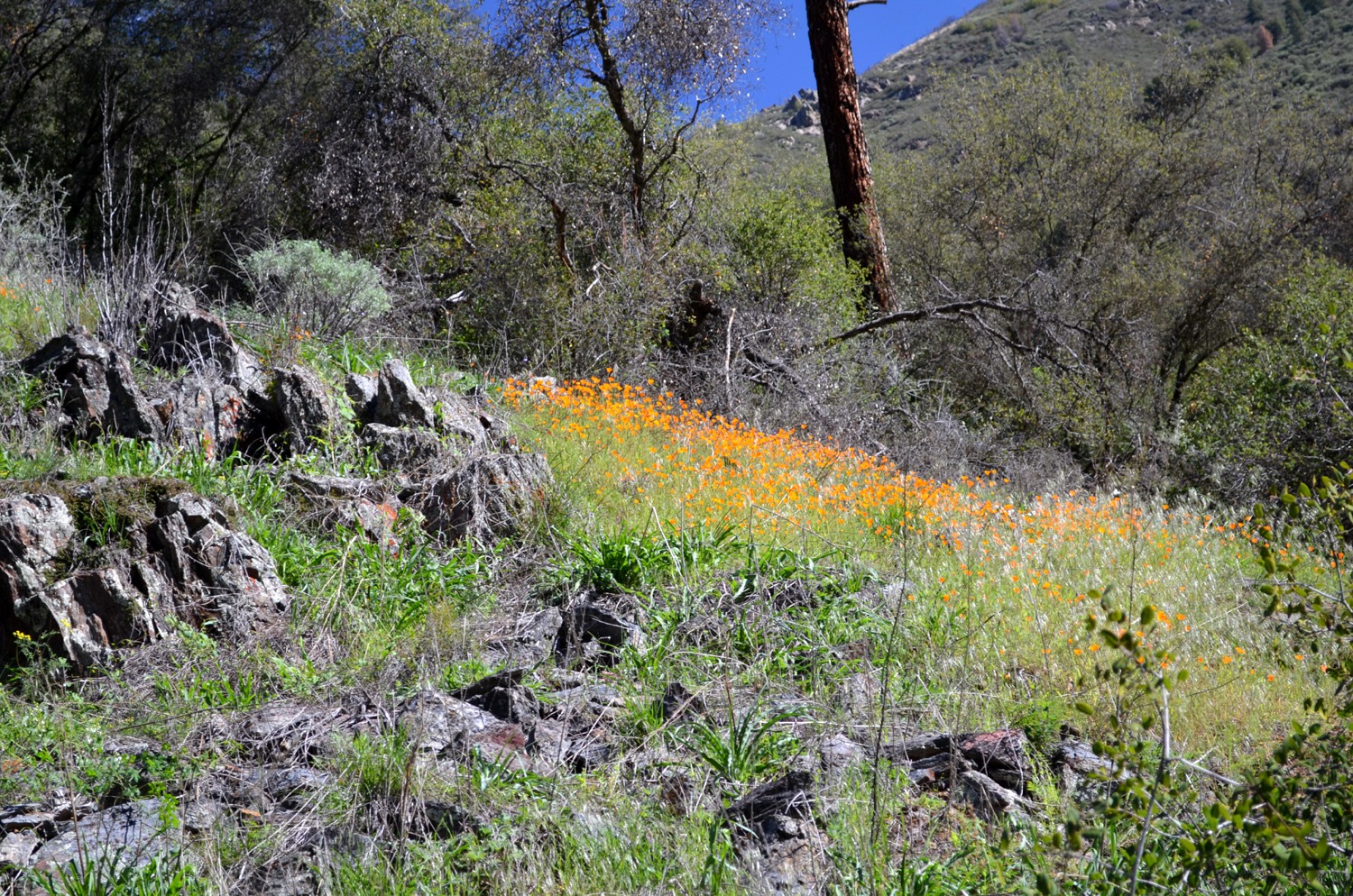
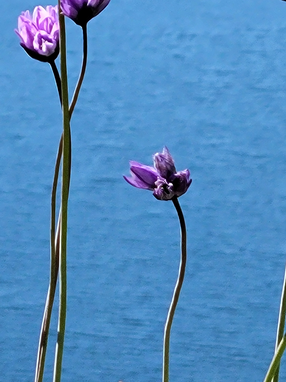
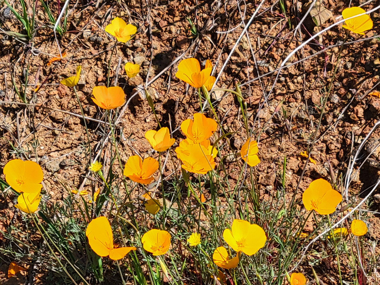
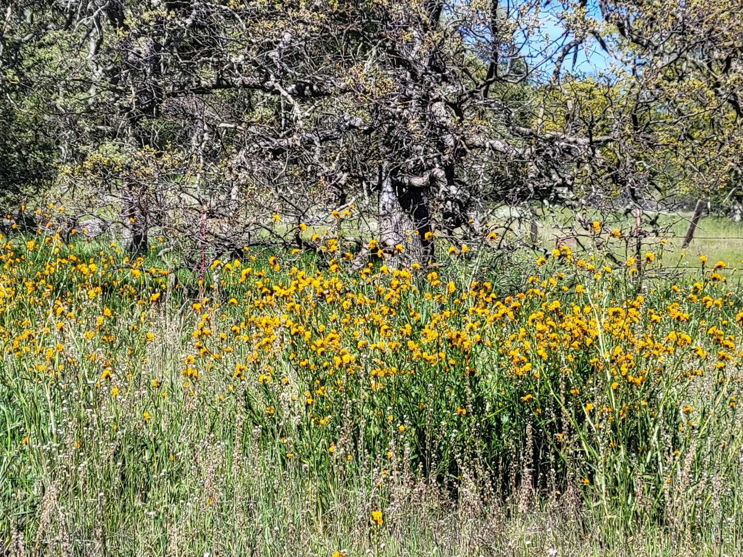
| Some people swear that blue dicks are really purple | Poppies at Pine Flat Lake | A single poppy up close |
 |
 |
 |
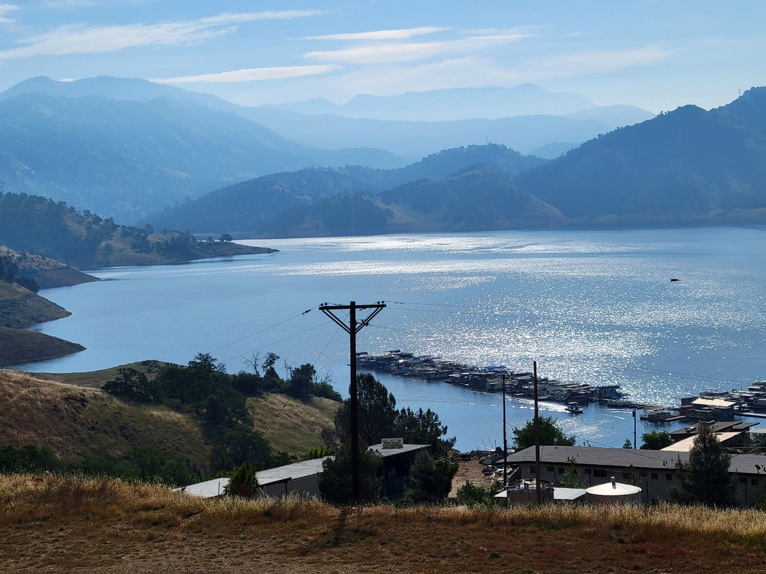
| Kings River by Trimmer Springs Road | Fiddlenecks at Pine Flat Lake | Blue and peaceful Pine Flat |
| Above photos by Dave Smith | ||
 |
 |
 |
| The creek at Ahwahnee Hills Regional Park | A little cove on Millerton Lake | A "social trail" near Millerton |
 |
 |
 |
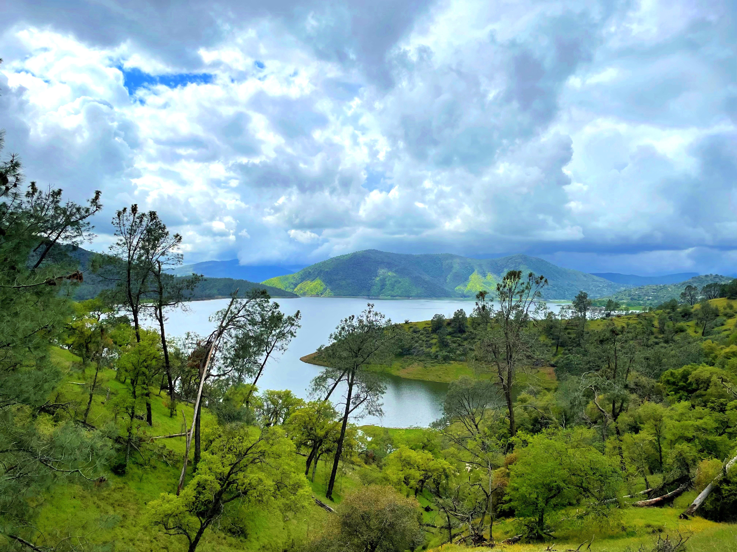
| Millerton Lake, November 2025 | San Joaquin River and pistachio trees on the hill above | Poppies at McKenzie Preserve |
 |
 |
 |
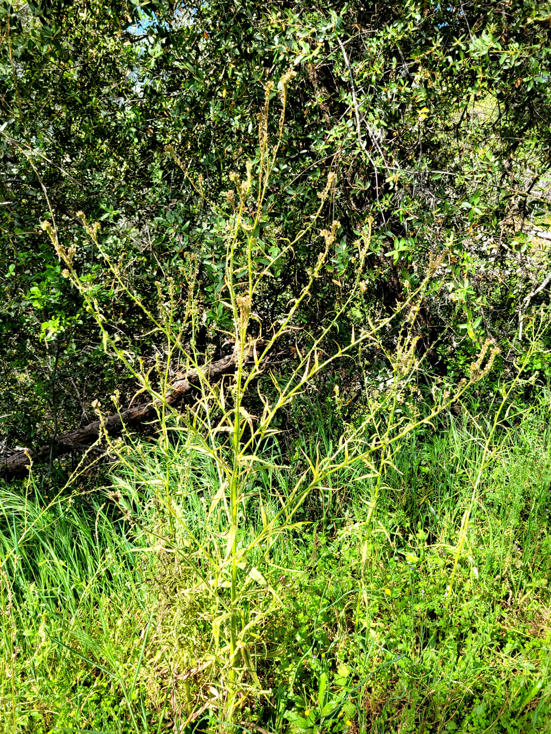
| Fiddlenecks at McKenzie | A big fiddleneck plant, gone to seed | There's
every shade of blue in this view of Pine Flat Lake |
 |
 |
 |
| Buckeye blossoms with foothills beyond | Pond at River West | Another pond - San Joaquin River Bottom |

