| Dick's Northern California Pictures | ||||
| Shasta Area & Northeastern North Central Coast & Western Mountains Links | ||||
| New photos added here July 11 and here July 17, 2021 (captions in red) | ||||
| Click for a larger view - photos open in new window | ||||
| Shasta Area & Northeastern | ||||
 |
 |
 |
 |
|
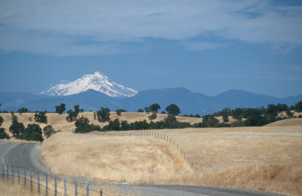
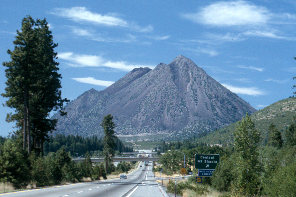
| Lake Shasta | Mt. Shasta from south | Mt. Shasta from north | Black Butte | |
 |
 |
 |
 |
|
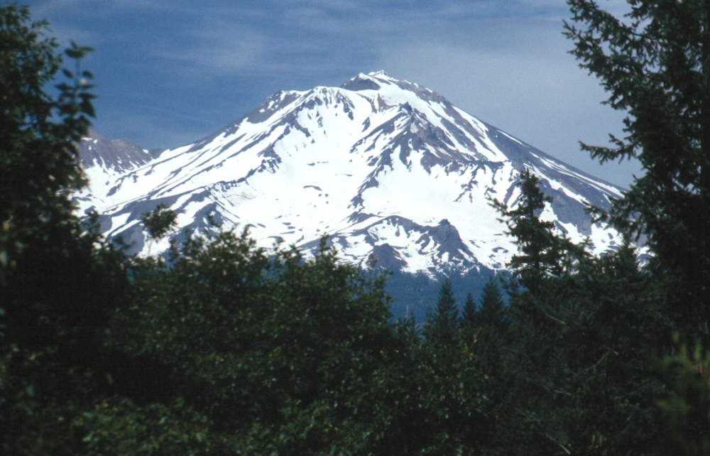
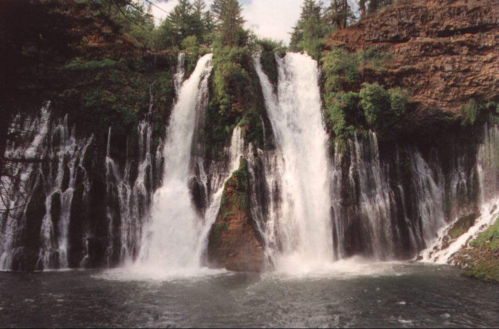
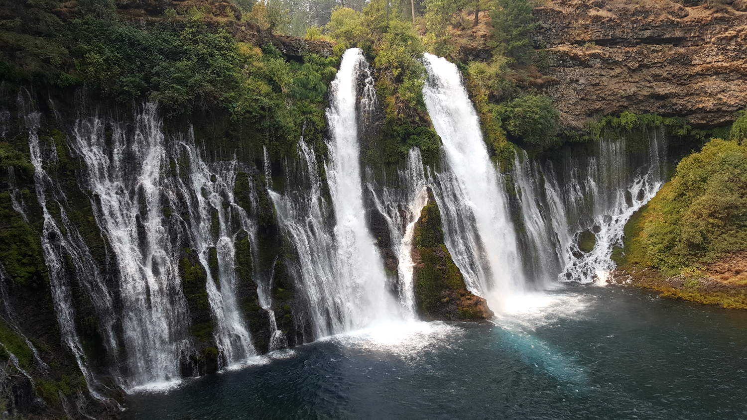
| McArthur-Burney Falls | Mt. Shasta March 2004 | Mt. Shasta from North 2004 | Mt. Lassen March 2004 | |
 |
||||
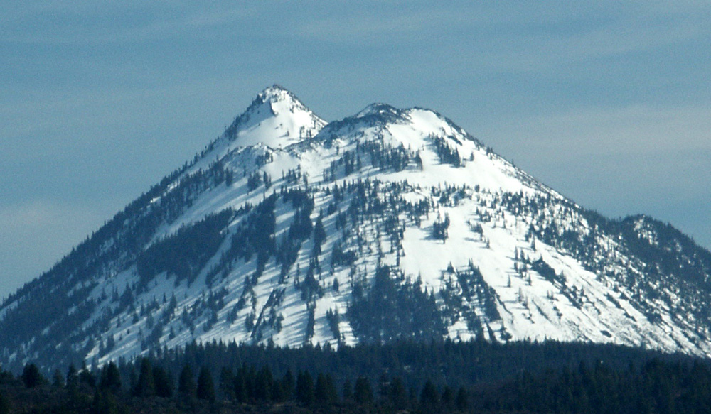
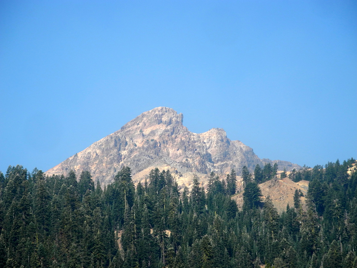
| Brokeoff Mountain in Lassen Volcanic National Park | ||||
 |
 |
 |
 |
|
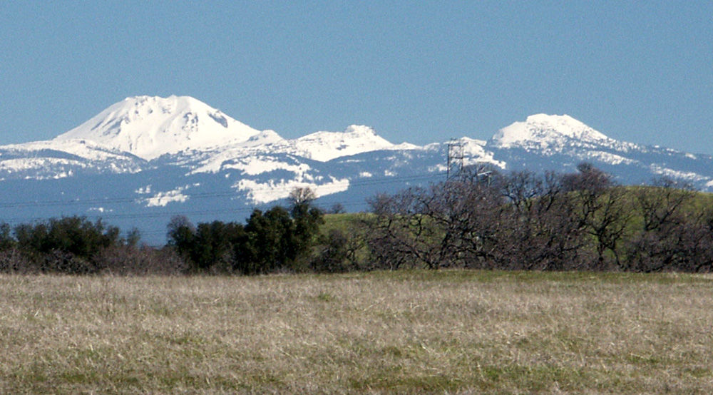
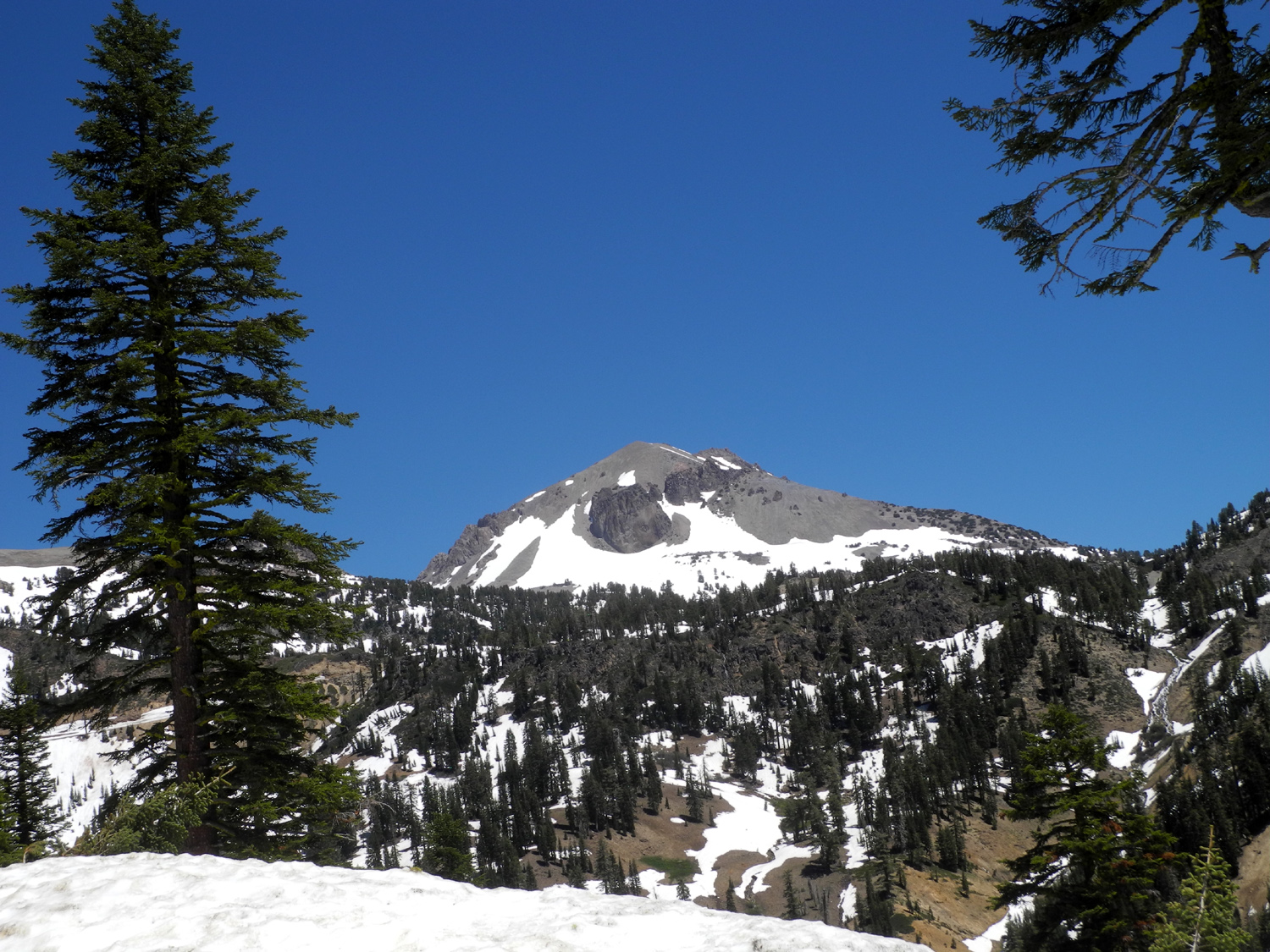
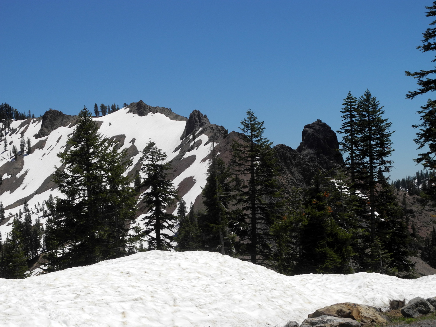
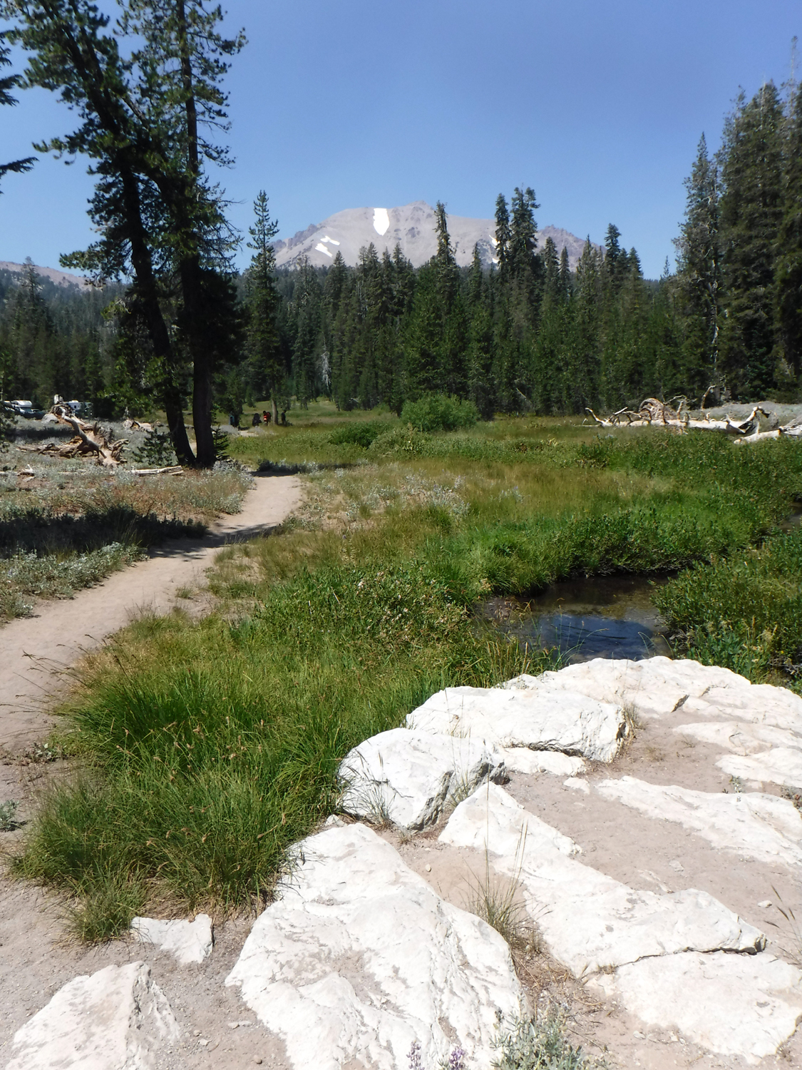
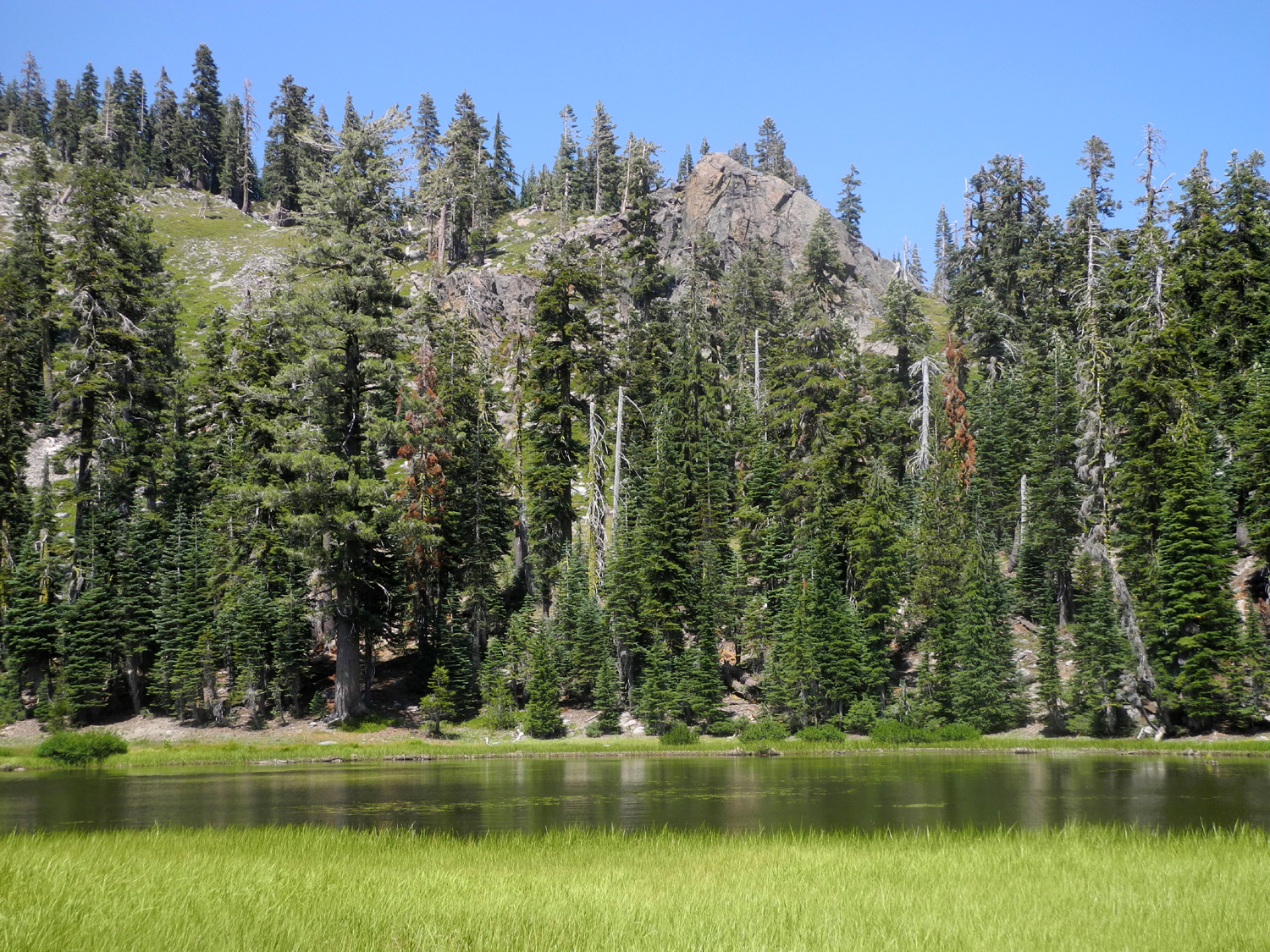
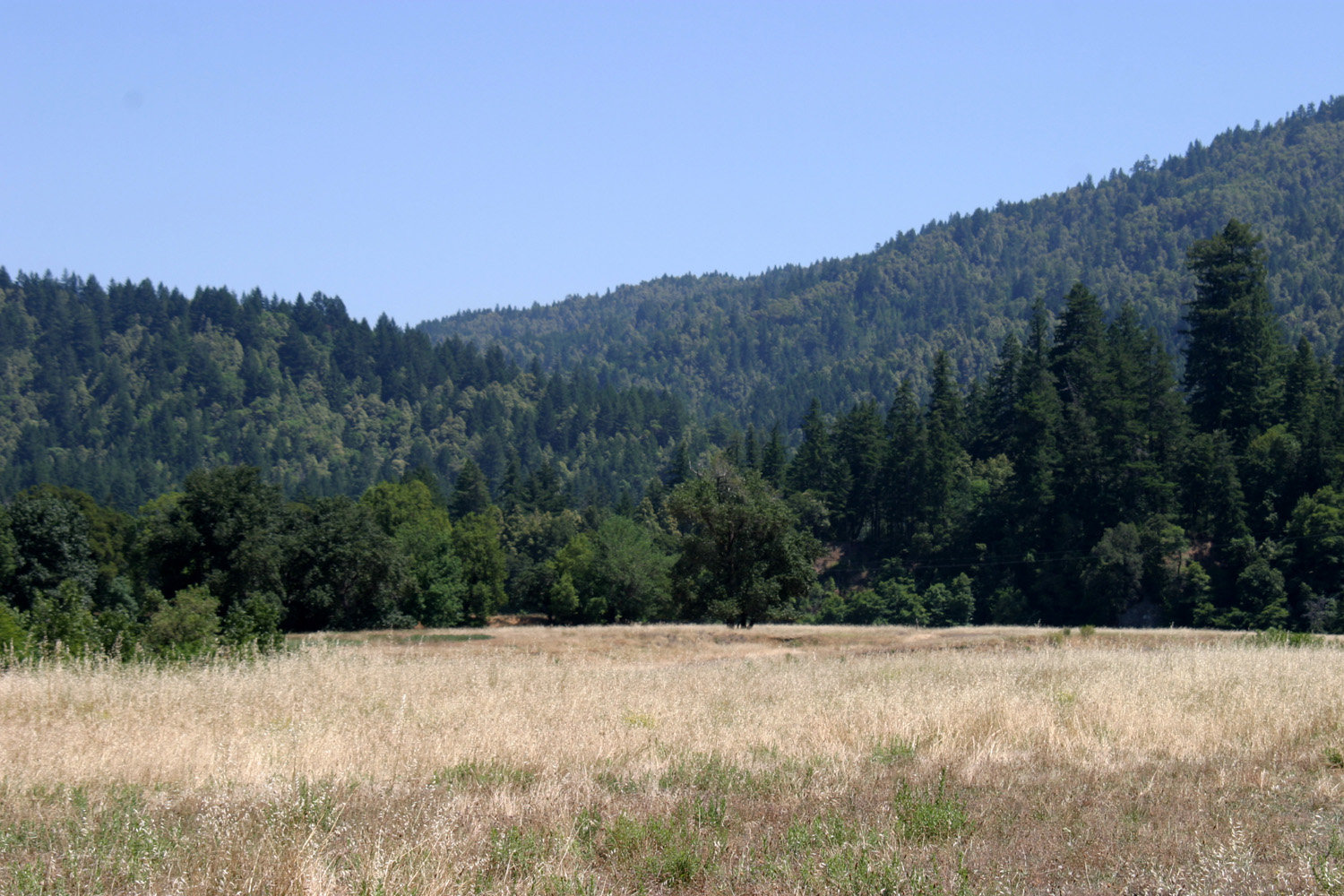
| Black Butte 2004 | Child's Meadow, near Lassen National Park | Mt. Lassen - dormant but not dead | Peaks in Lassen Park from Child's Meadow on Highway 36 | |
 |
 |
 |
 |
|
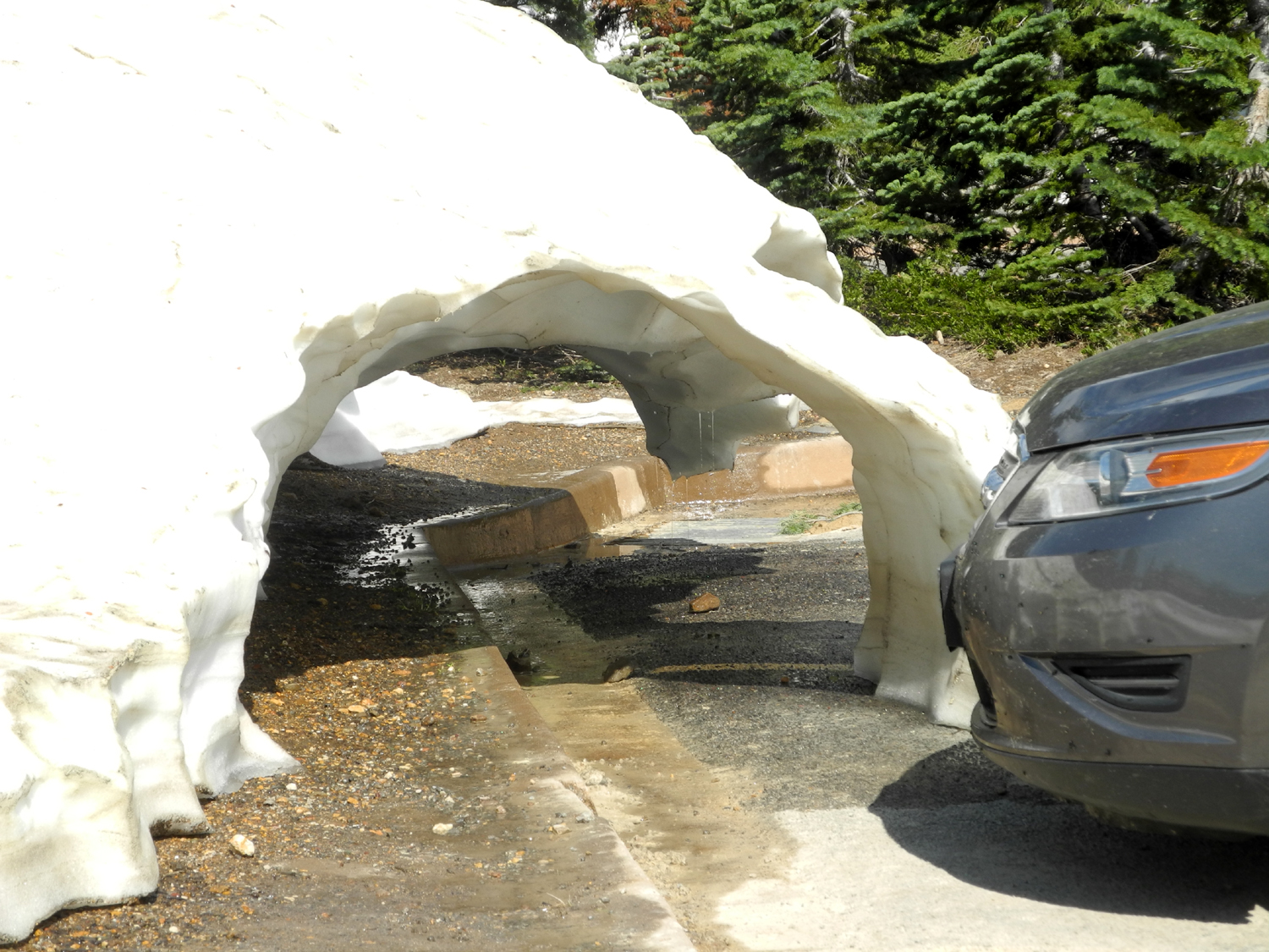
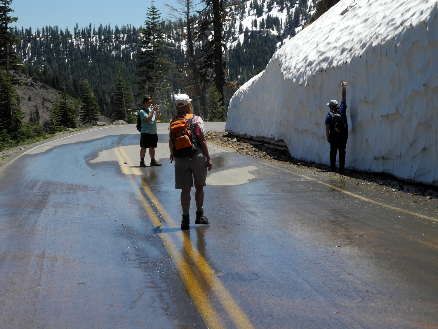
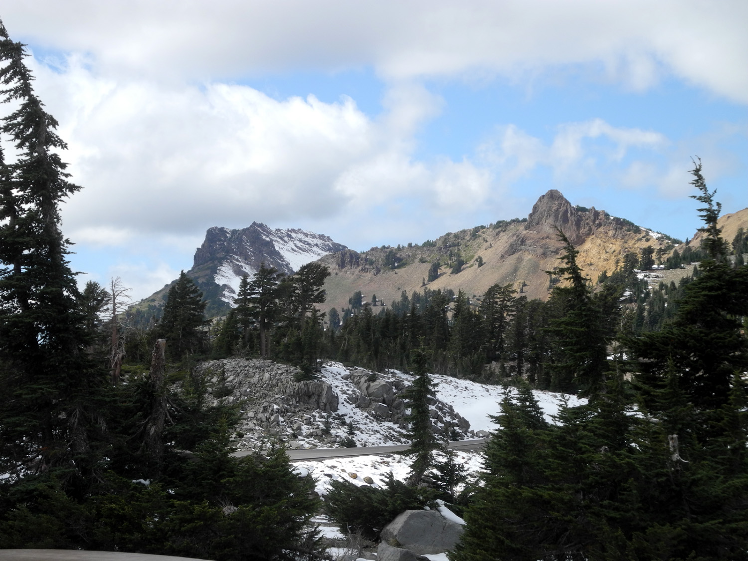
| A snowy scene along the road through Lassen National Park | Snow sculpture, disappearing fast, Lassen Park in June 2107 | Dramatic snow tunnel at Sulphur Works parking lot in Lassen Park | After the first mile, it was foot traffic only on the Lassen road in June 2107 | |
 |
 |
 |
 |
|
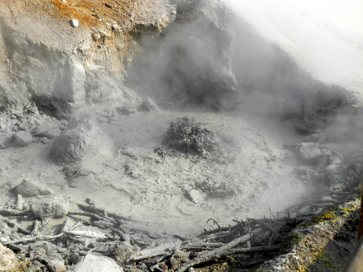
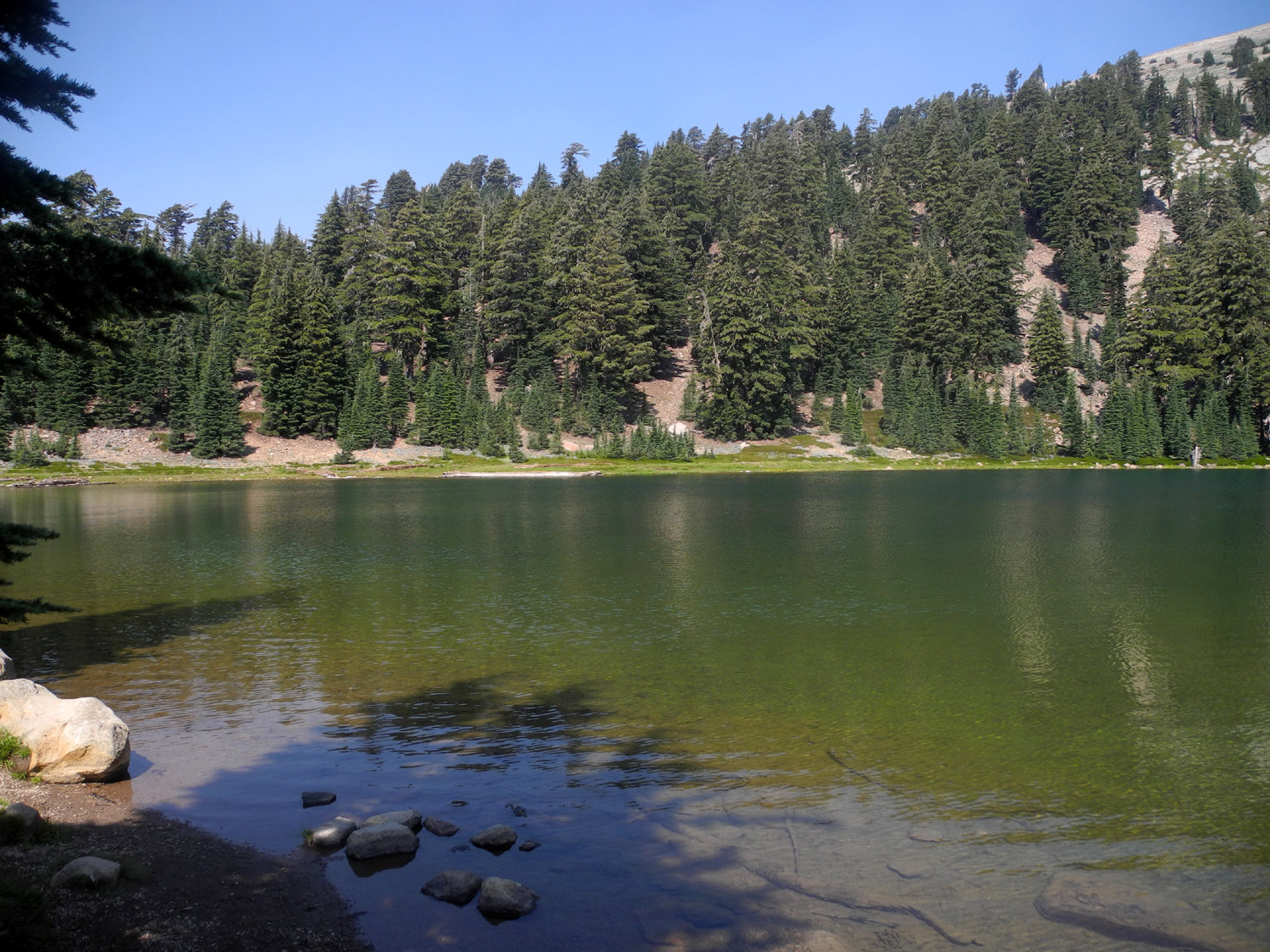
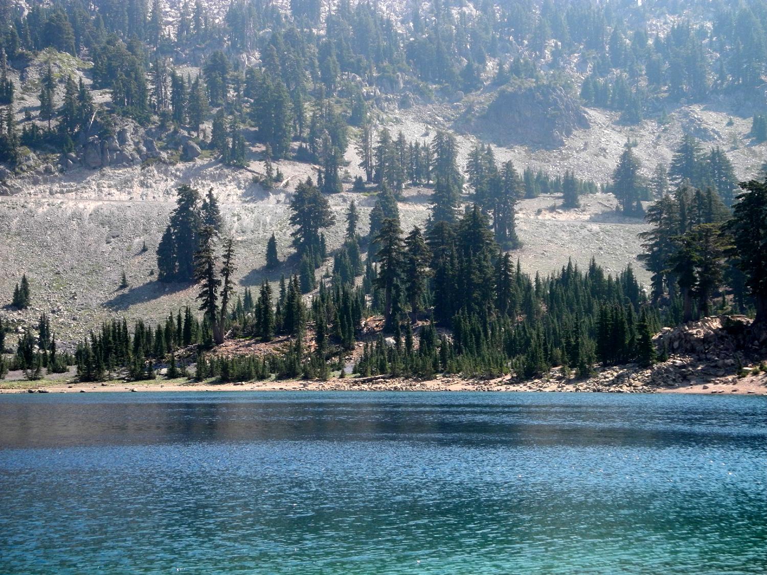
| Bubbling mud pot at the Sulfur Works in Lassen Volcanic National Park | Brokeoff Mountain, one of several that were part of gigantic Mt. Tehama | Emerald Lake | Lake Helen | |
 |
 |
 |
 |
|
| Kings Creek and Mt. Lassen | Cold Boiling Lake and a rocky ridge | Chaos Crags above Manzanita Lake | Boaters on Manzanita Lake, Lassen National Park | |
 |
 |
 |
 |
|
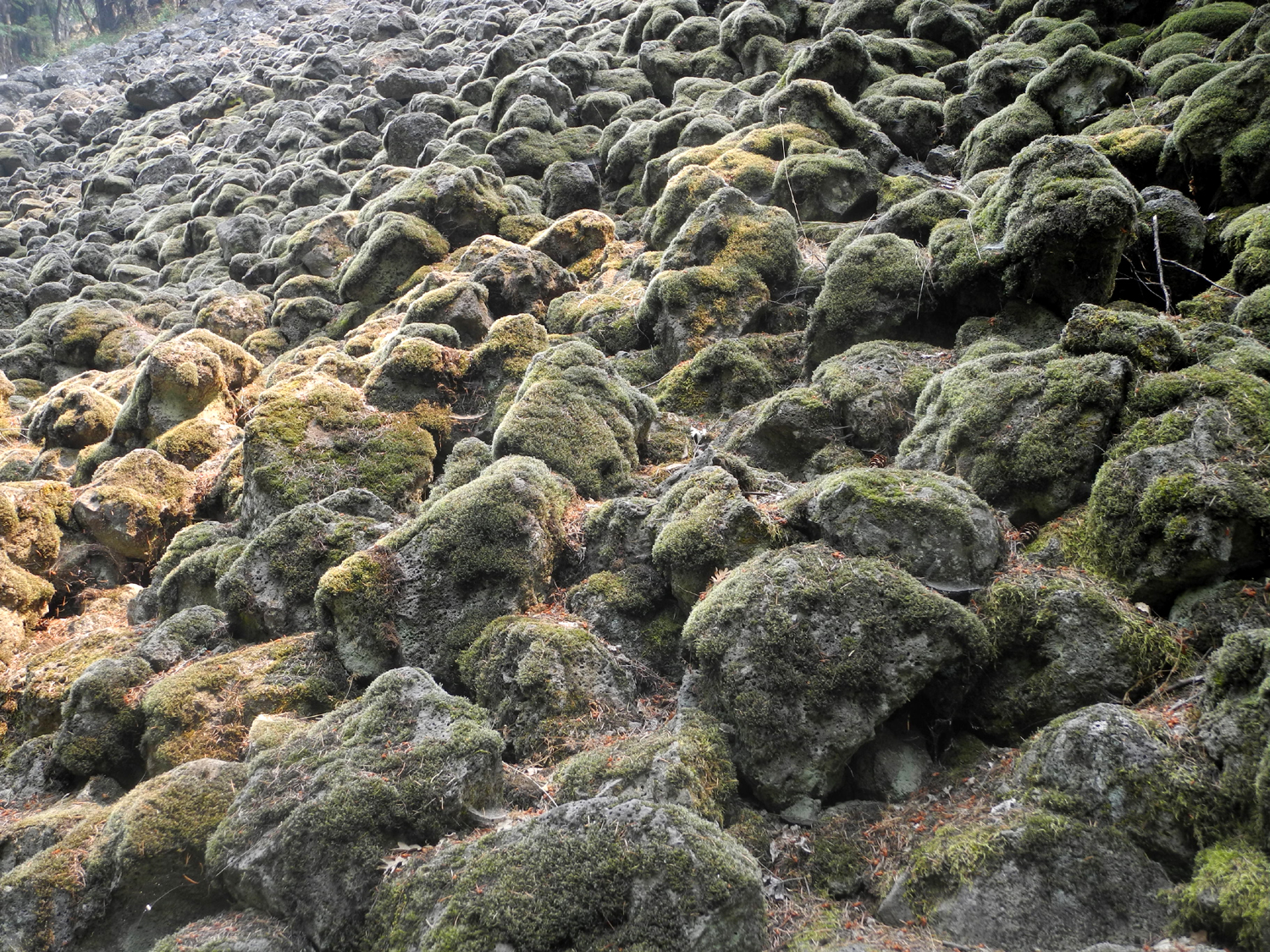
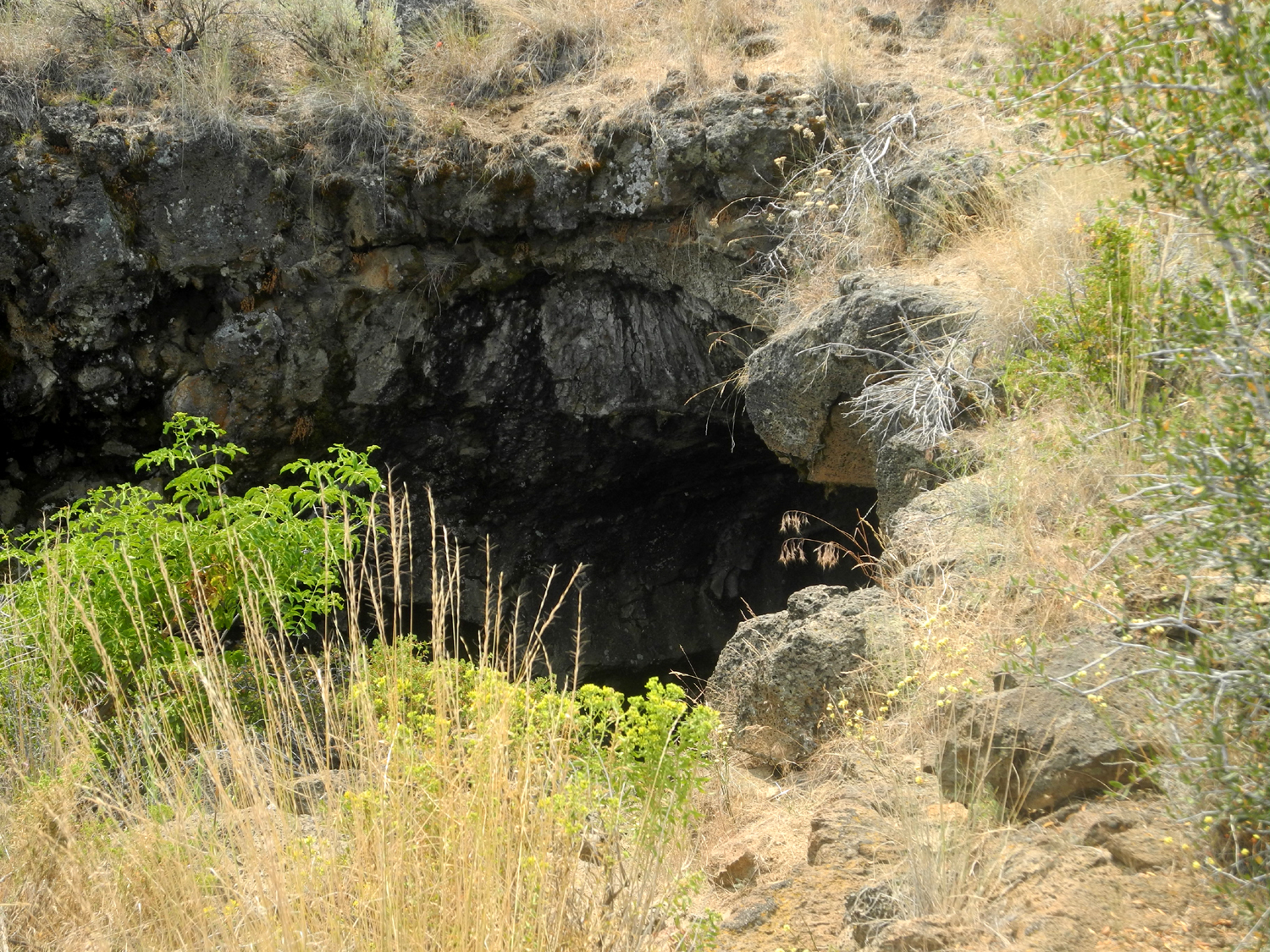
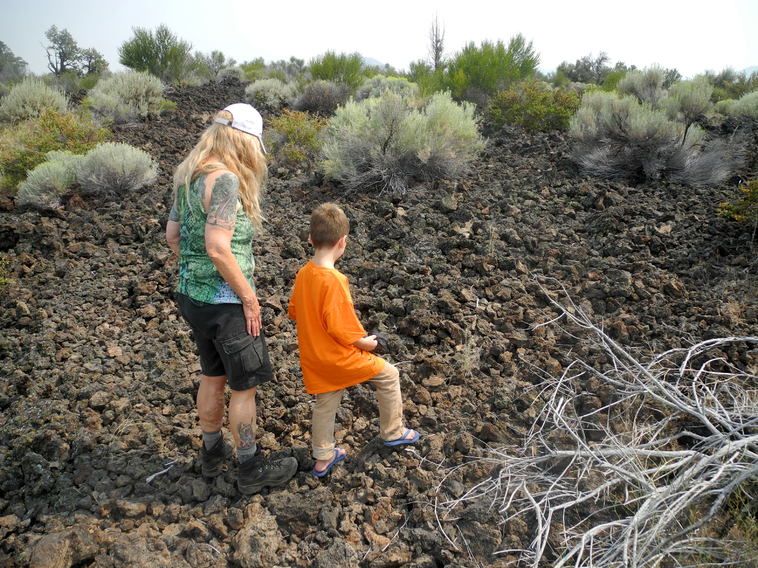
| McArthur-Burney Falls, 2018 | Moss covered lava boulders beside Burney Creek | Cave entrance in Lava Beds National Monument | Inside Sentinel Cave | |
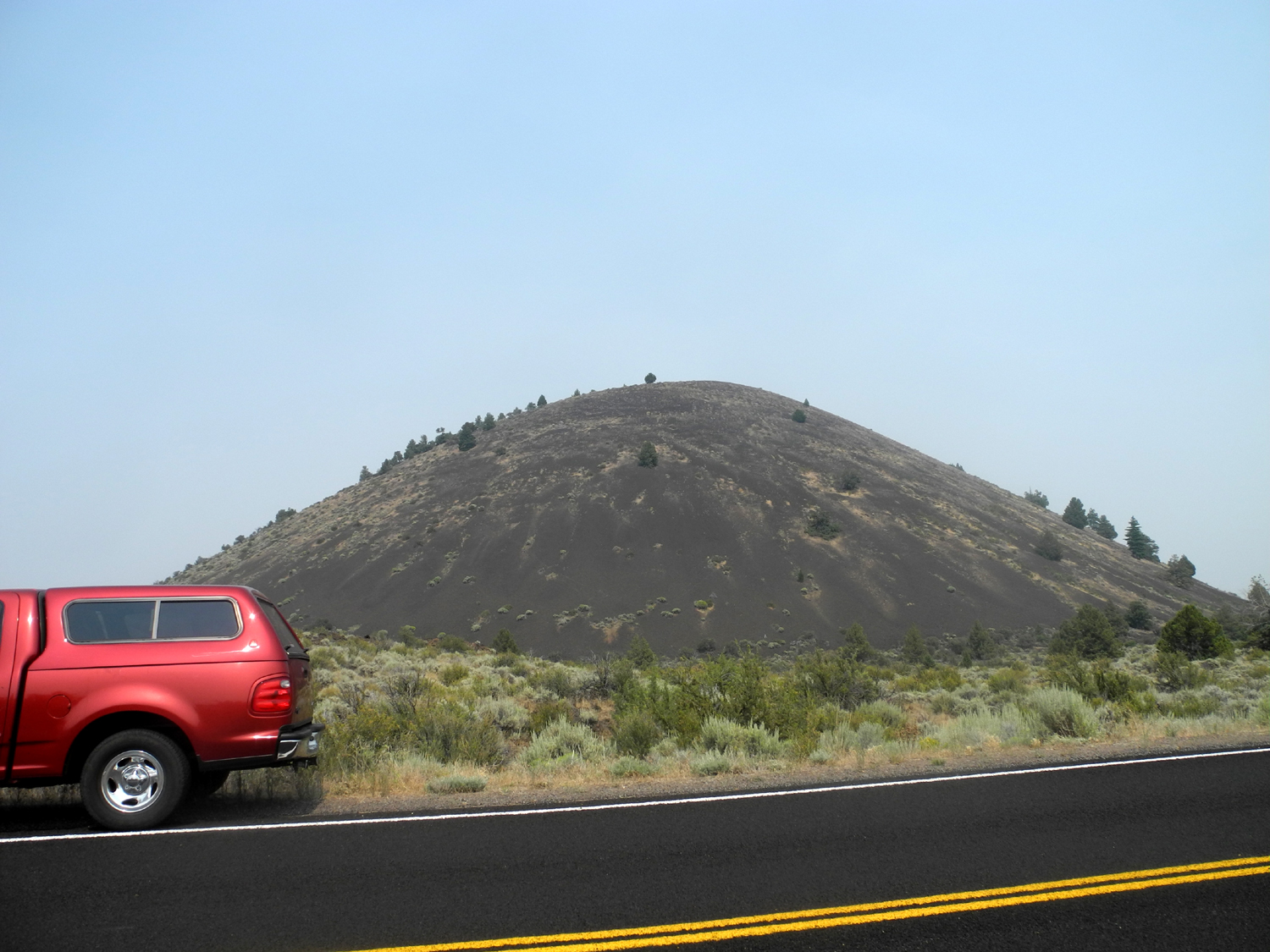 |
 |
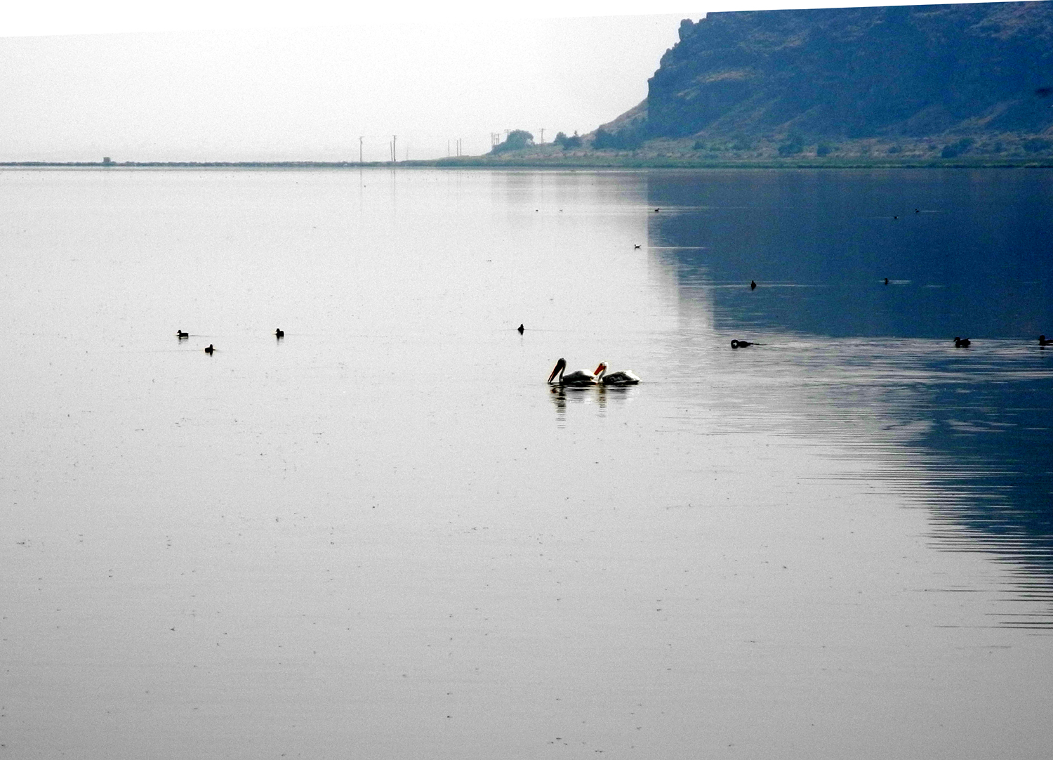 |
 |
|
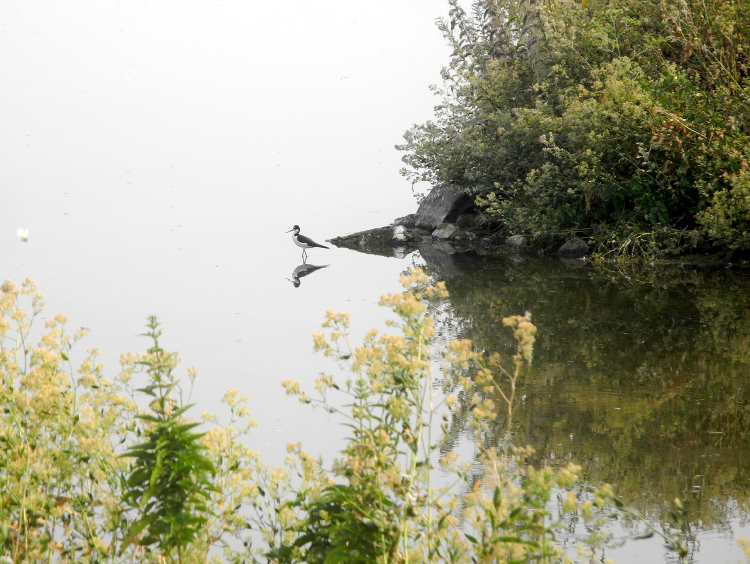
| Schonchin Butte | Lava deposit near Black Crater | Pelicans at Tulelake National Wildlife Refuge | A solitary wader has this cove all to himself | |
 |
 |
 |
 |
|
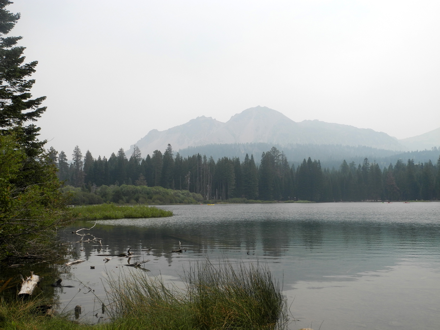
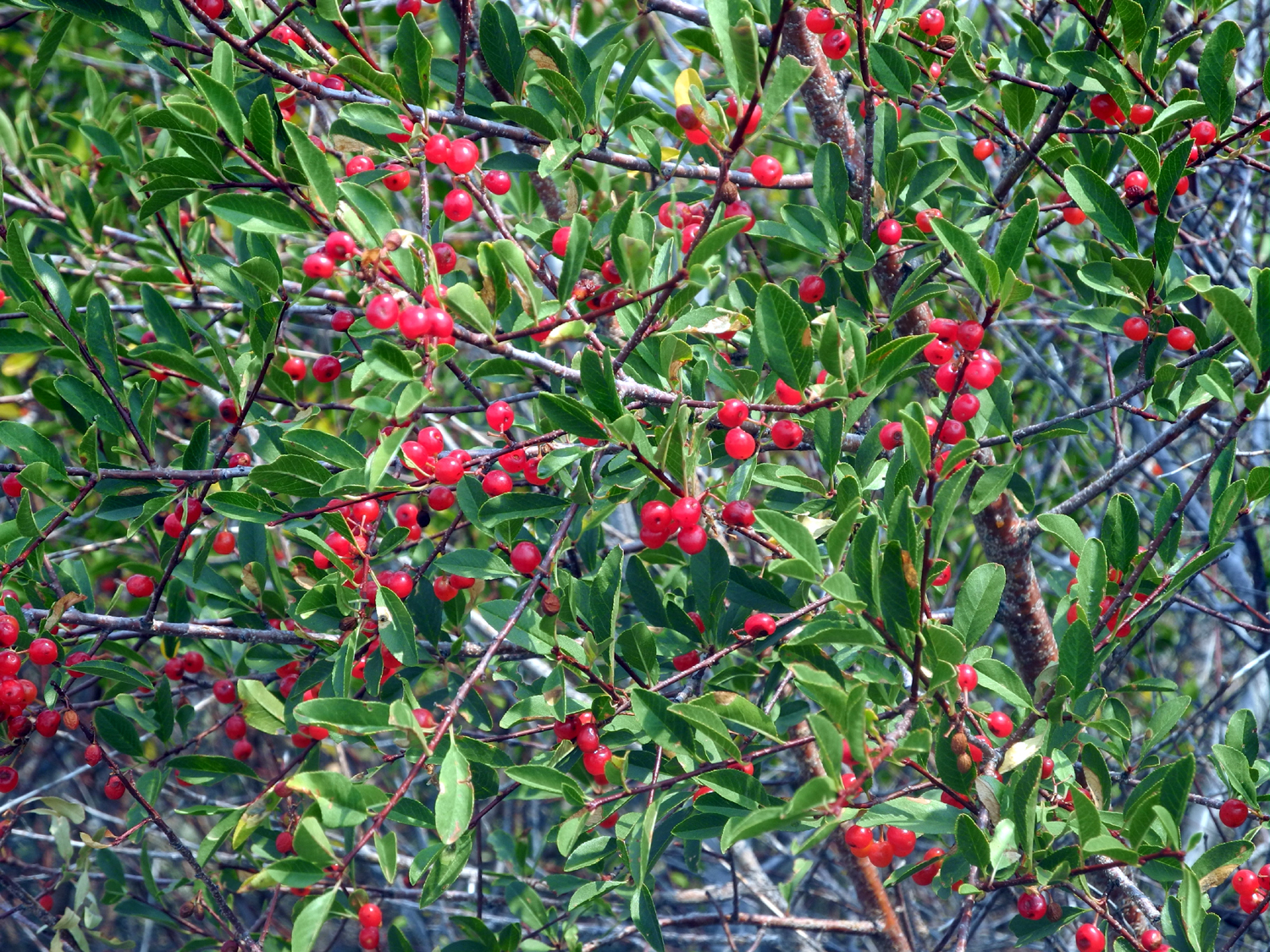
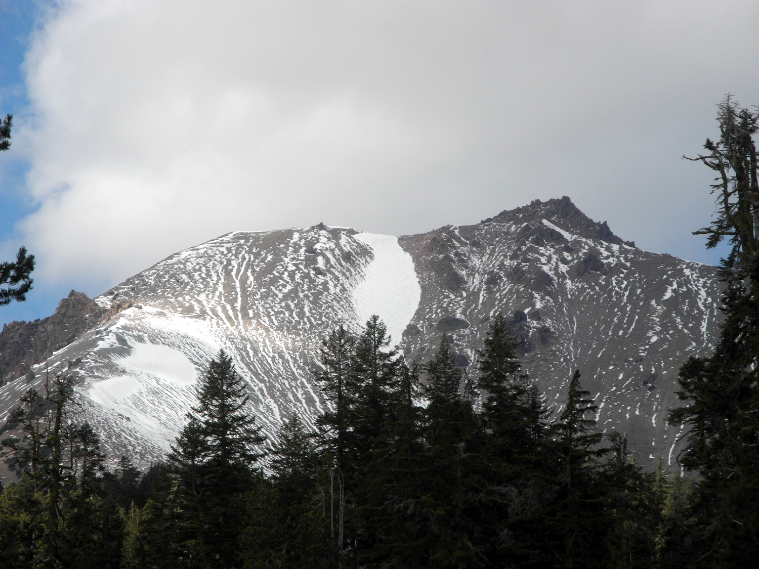
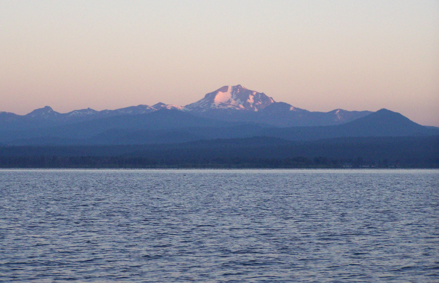
| Choke cherries at Lava Beds | Lake Almanor and Mt. Lassen | Mt. Lassen, October 2019 | Brokeoff Mountain | |
| North Central (Sierra, Foothills, Sacramento Valley) | ||||
 |
 |
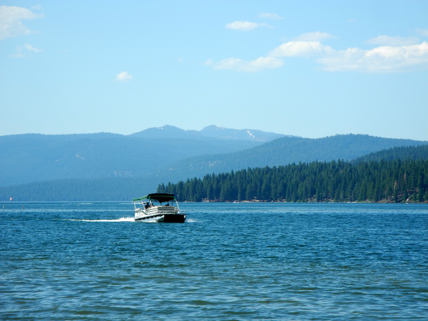
 |
 |
|
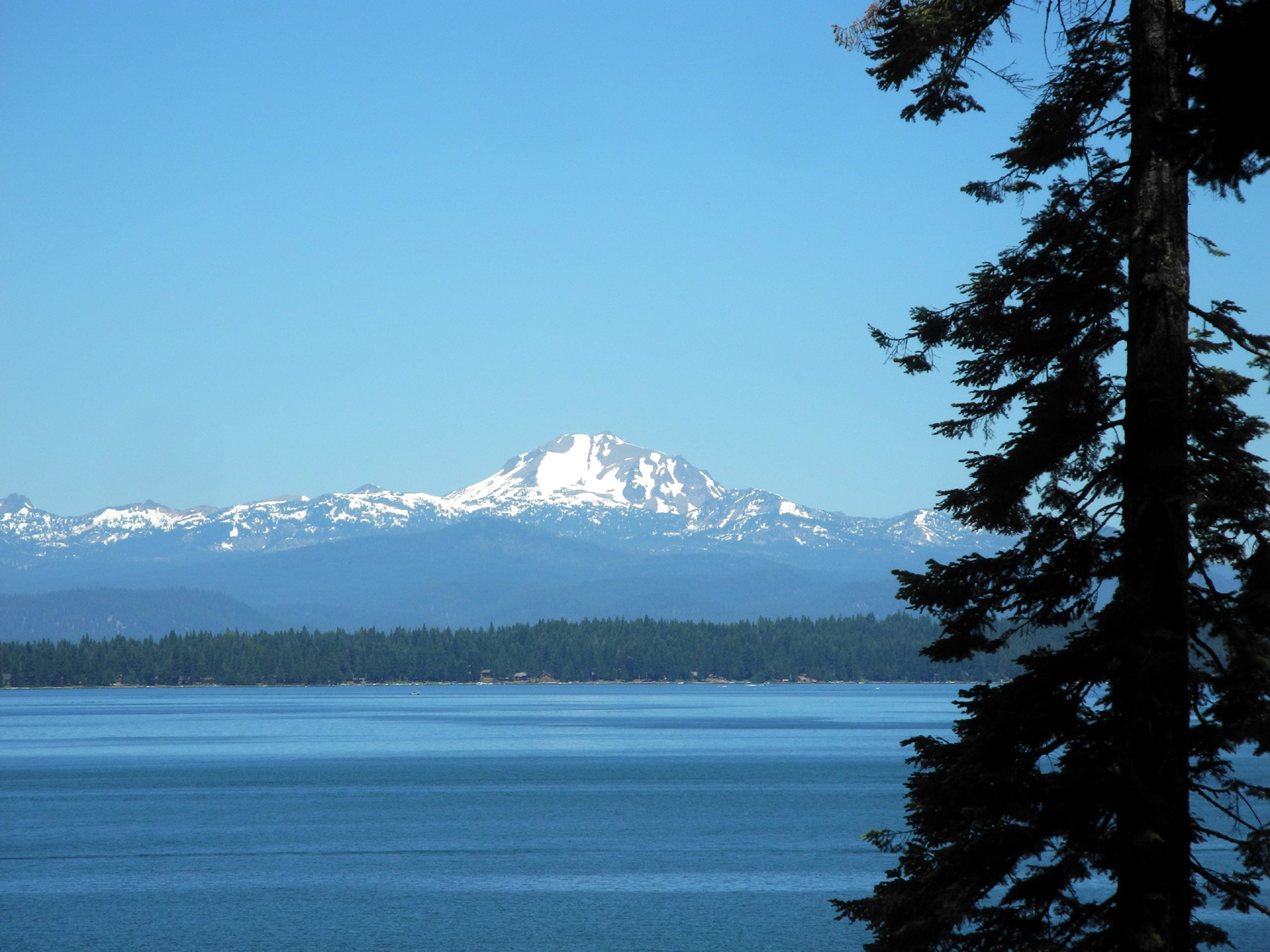
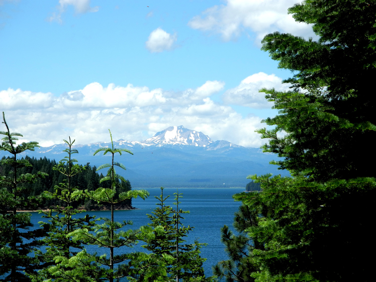
| Manzanita on Shake Ridge Road, Amador County | Lassen Peak from a boat on Lake Almanor | Lake Alamanor and Lassen from CA Highway 147 | ||
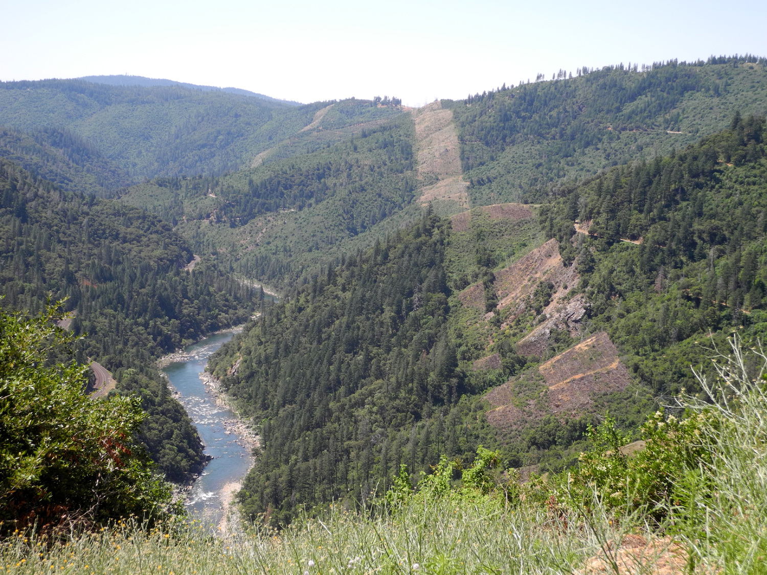
 |
 |
 |
 |
|
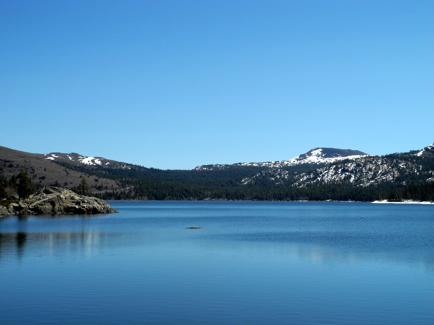
| Rock cliff near Feather River | Rock formation in Feather River Canyon | Caples Lake on Highway 88 |
Lake Tahoe from Logan Shoals Vista Point |
|
 |
 |
 |
 |
|
|
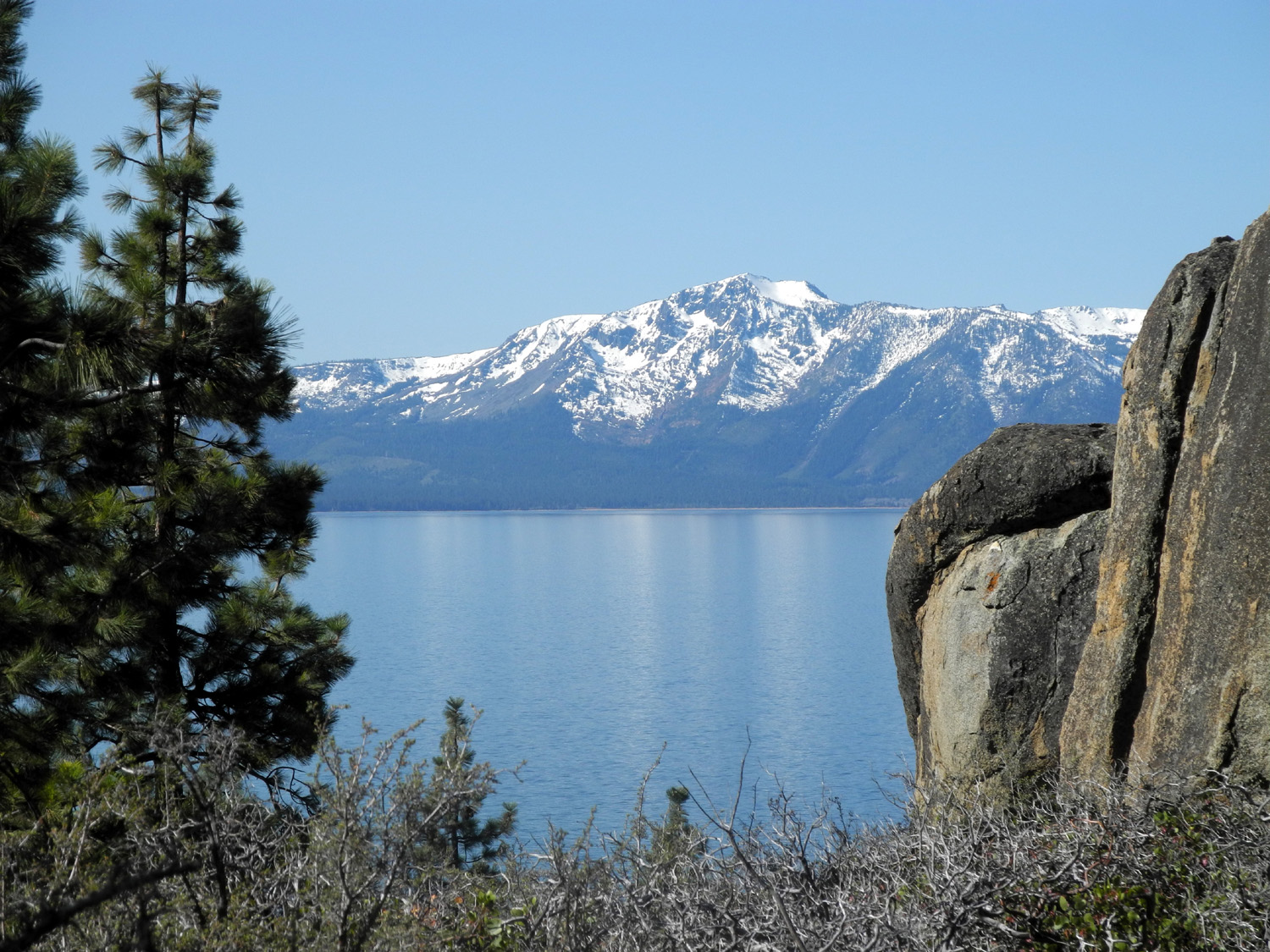
View of Sierra from just outside Virginia City NV |
Lake Tahoe from hotel in Stateline NV | Lake Almanor, June 2017 | North Fork of the Feather River | |
 |
||||
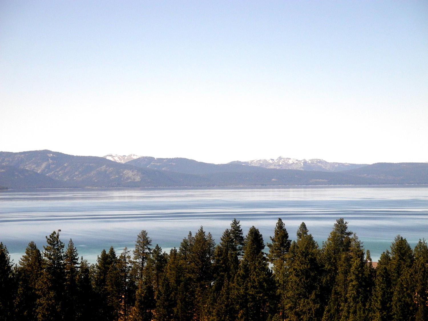
| Panoramic view of Lake Tahoe and the Sierra Nevada | ||||
 |
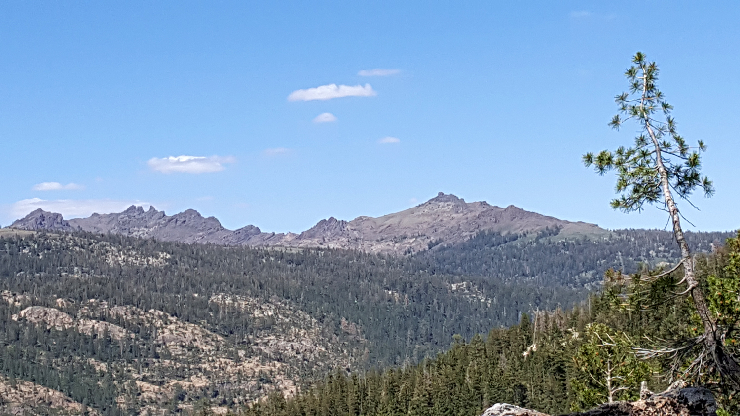 |
|||
| Alpine Lake on CA Highway 4 | Sierra peaks as seen
from Pacific Grade Summit on Highway 4 |
|||
| Coast and Western Mountains | ||||
 |
 |
 |
 |
|
|
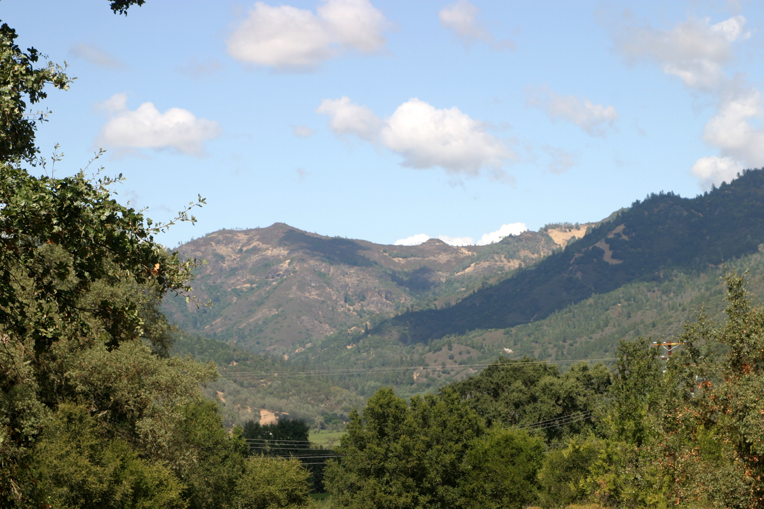
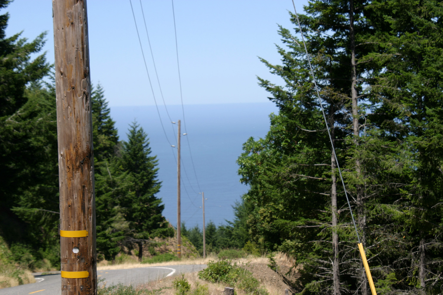
Along Highway 128 between Highways 1 & 101 |
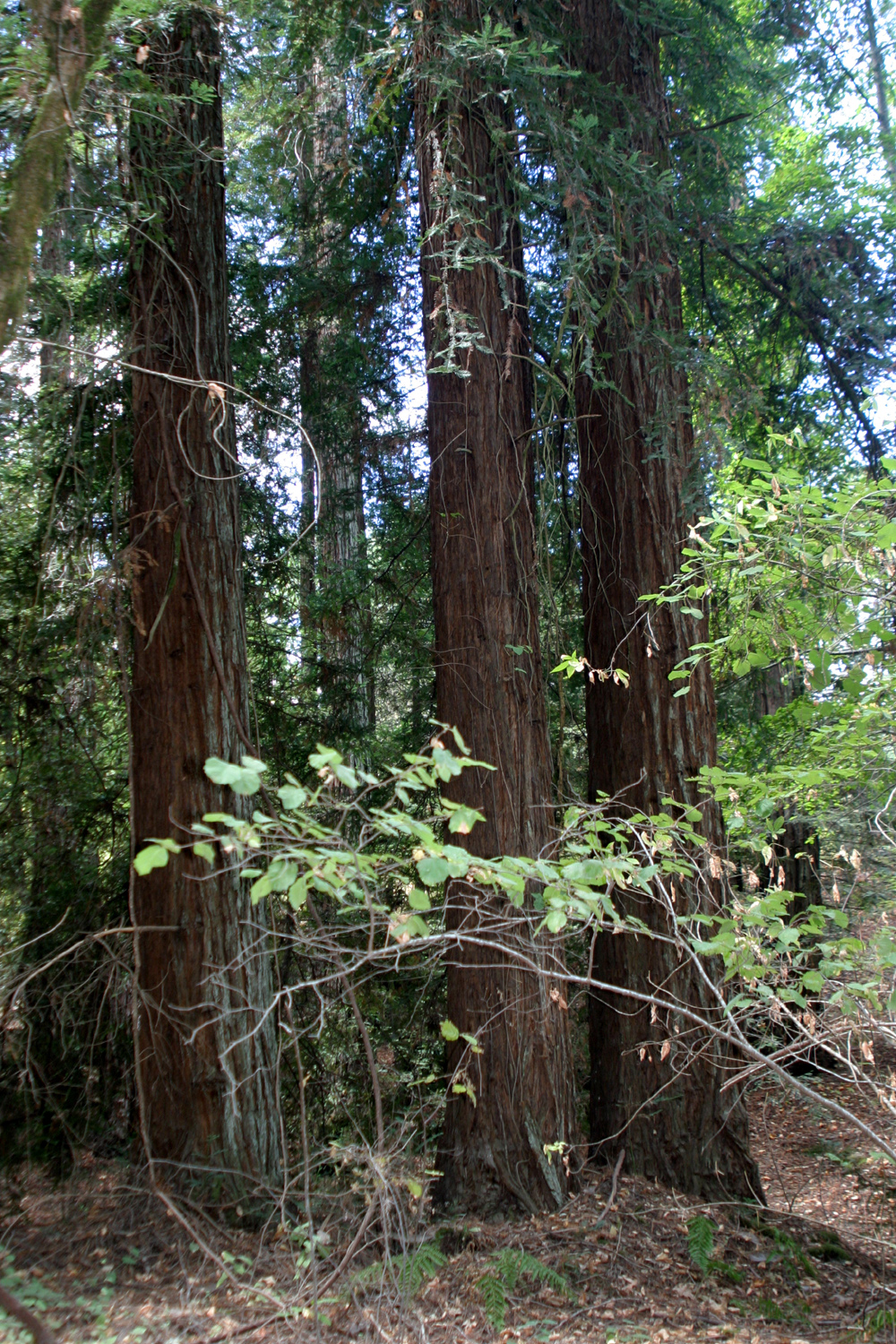
Looking across the Napa Valley | Redwoods by Ritchey Creek, Bothe-Napa Valley State Park | Redwood trunks | |
 |
 |
 |
 |
|
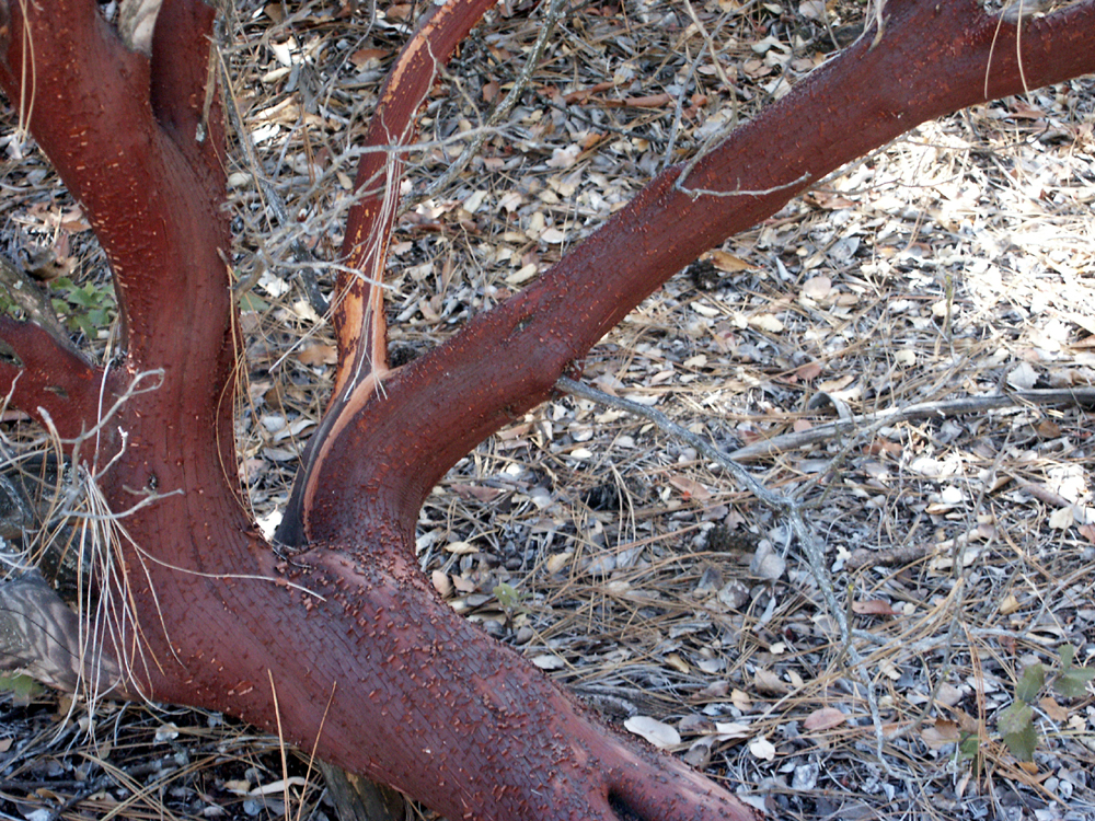
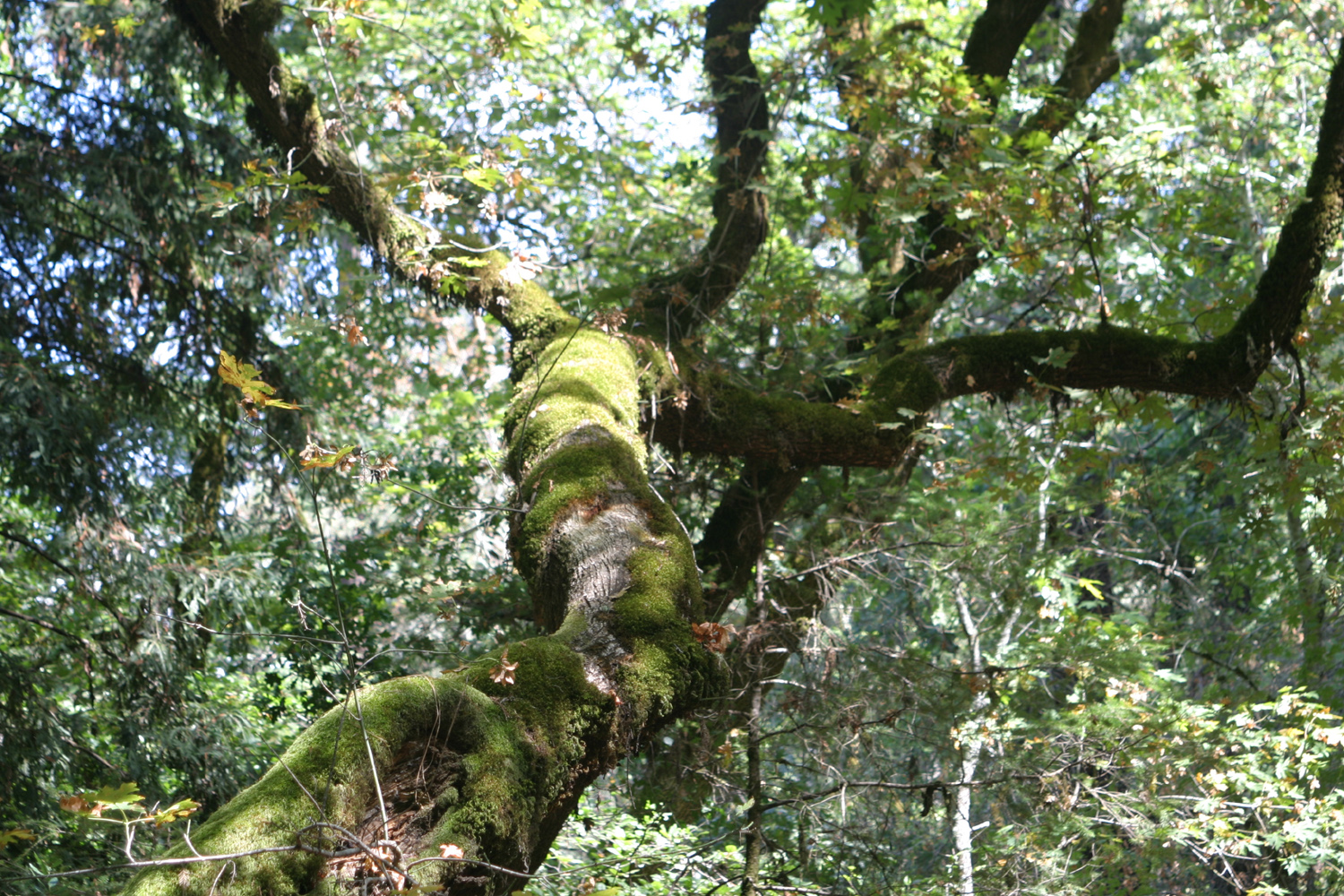
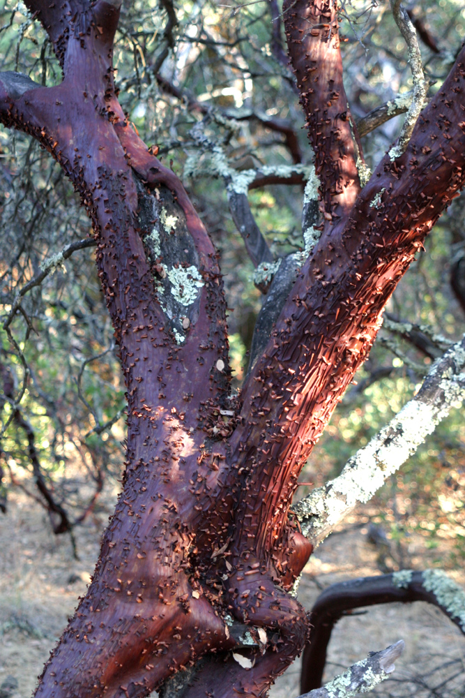
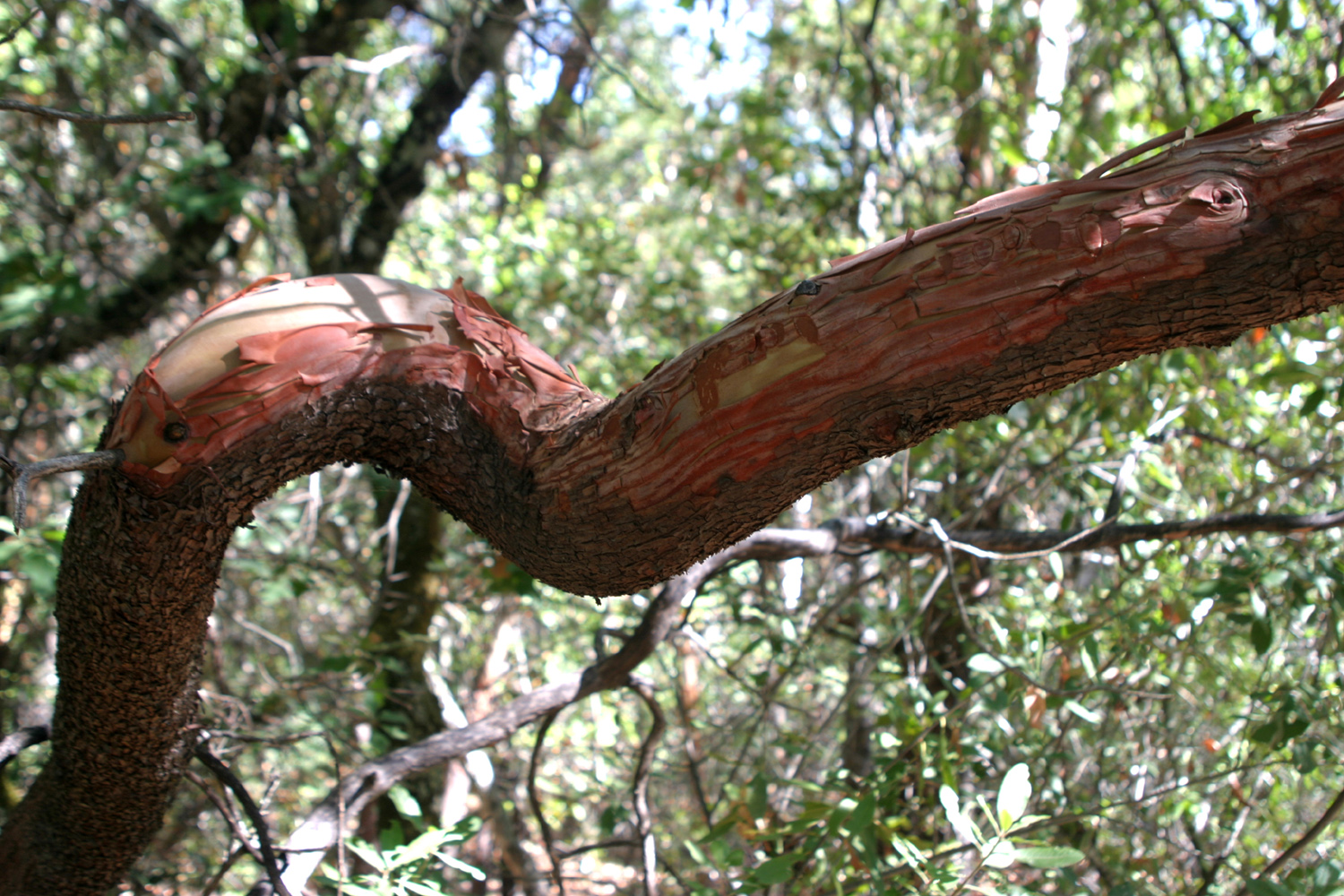
| Mossy tree by the creek | Gnarled but still living manzanita in Bothe Park | Manzanita close-up | Madrone branch | |
 |
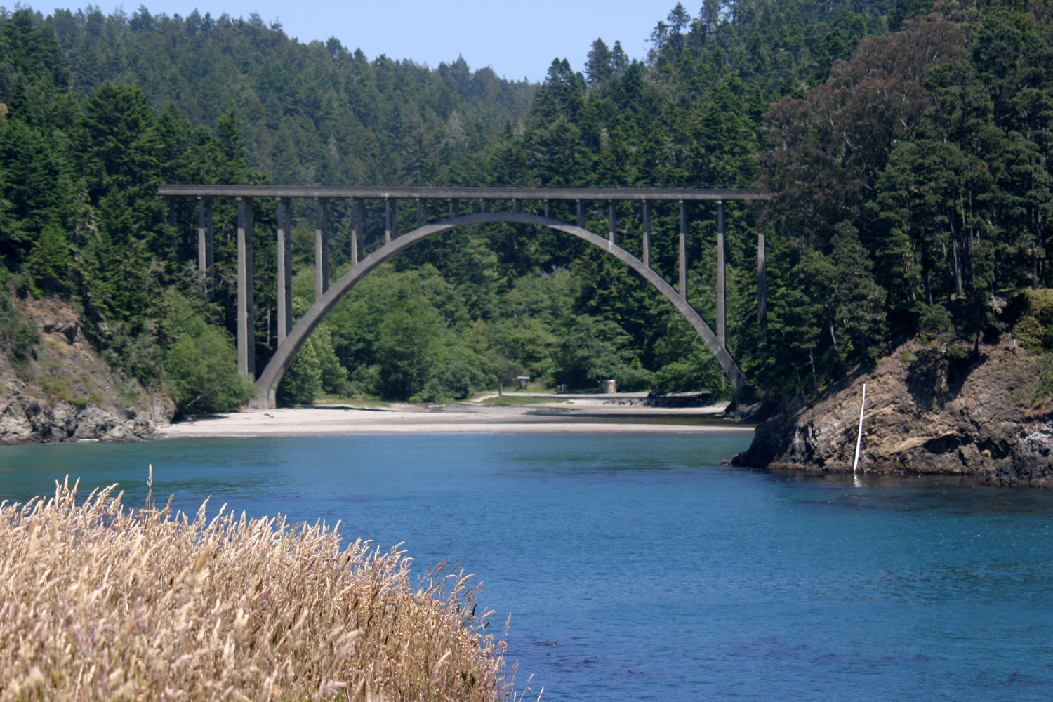
 |
 |
 |
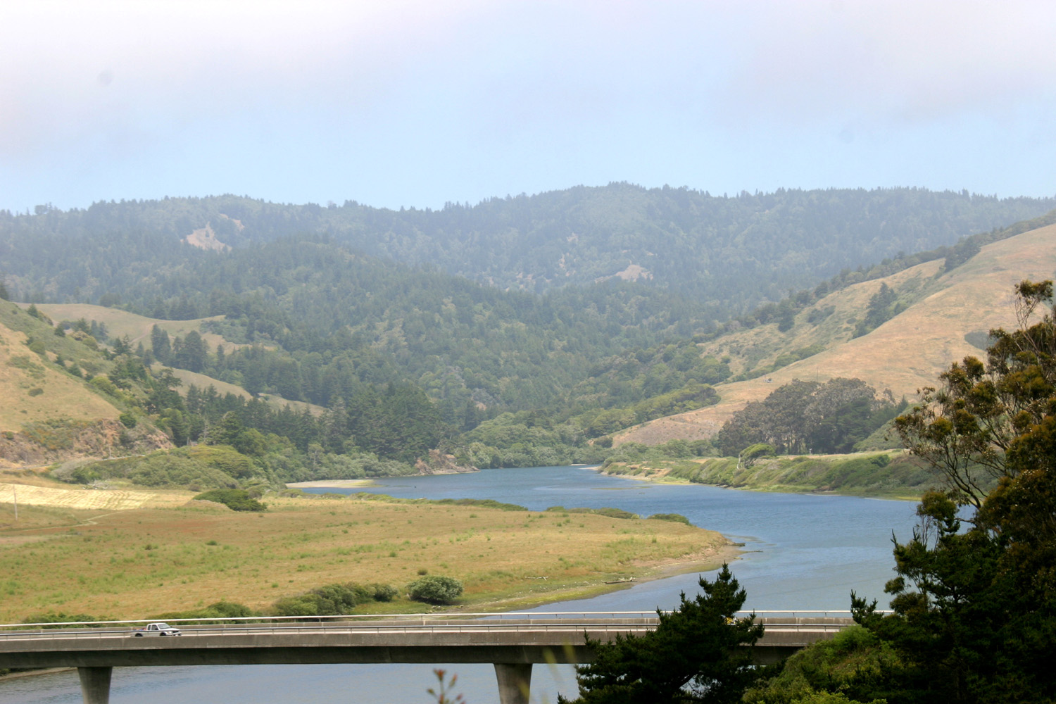
|
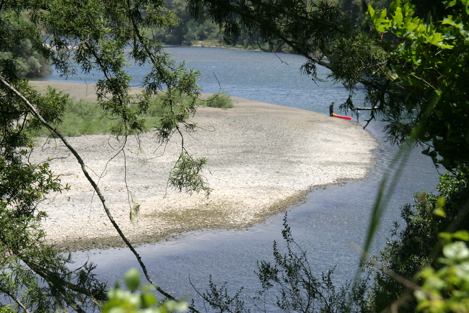
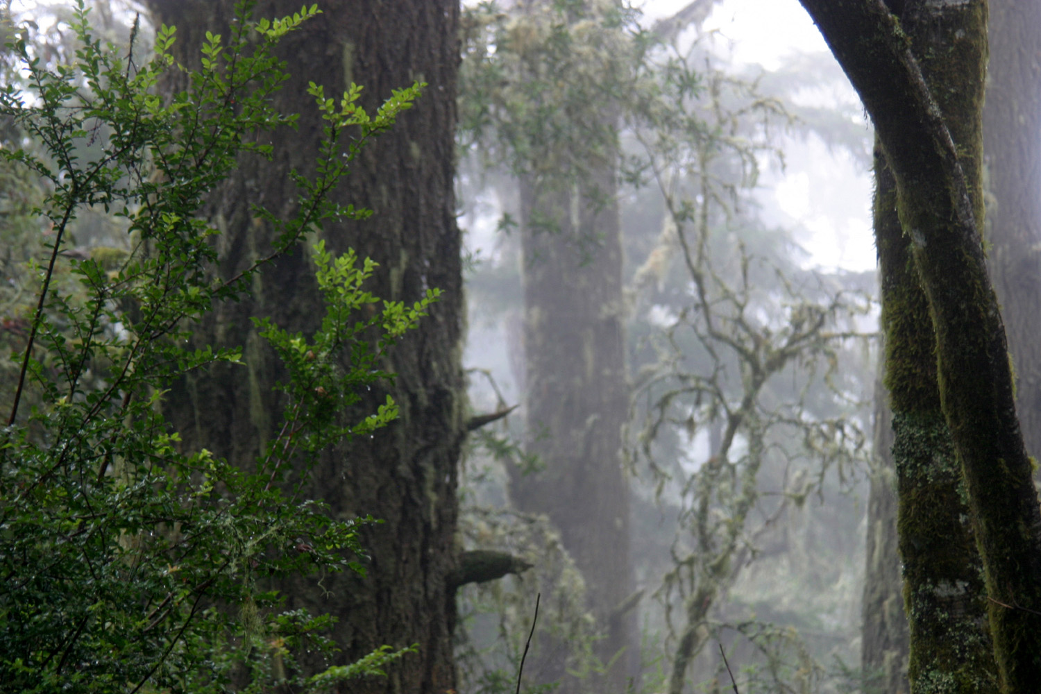
| Crashing waves near Bodgega Bay | Highway 1 bridge over Russian River at Jenner | Russian River along Highway 116, inland from Jenner | A misty scene on Inverness Ridge at Pt. Reyes | |
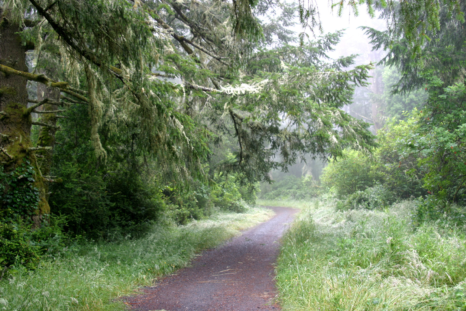 |
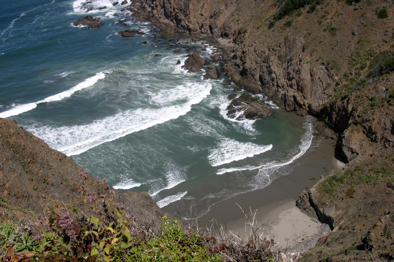 |
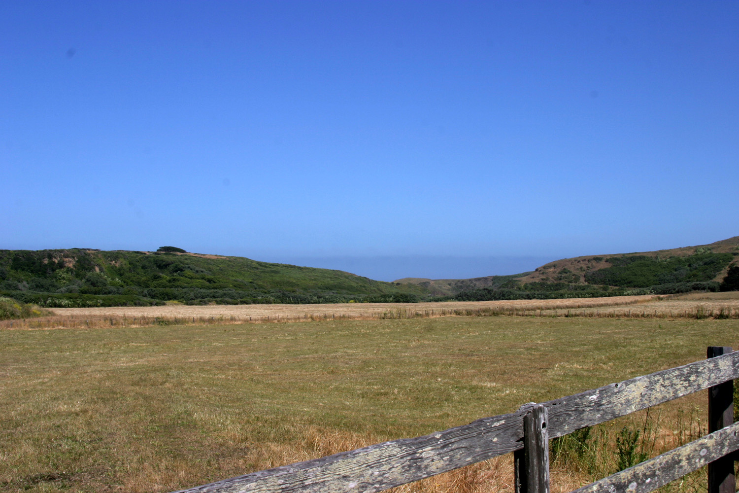 |
 |
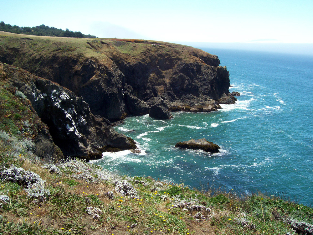
|
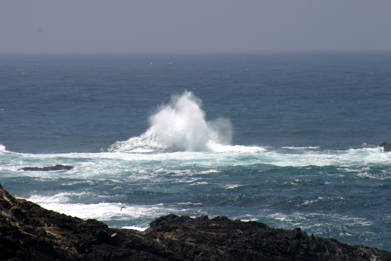
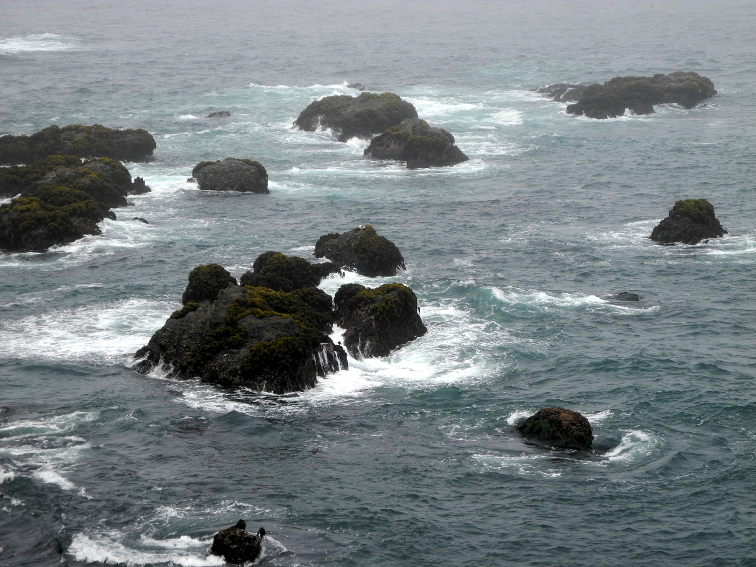
| One of many trails on Inverness Ridge | Hidden cove, Mendocino County CA | Ranch land along Highway 1 | A big splash-up! | |
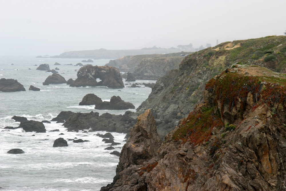
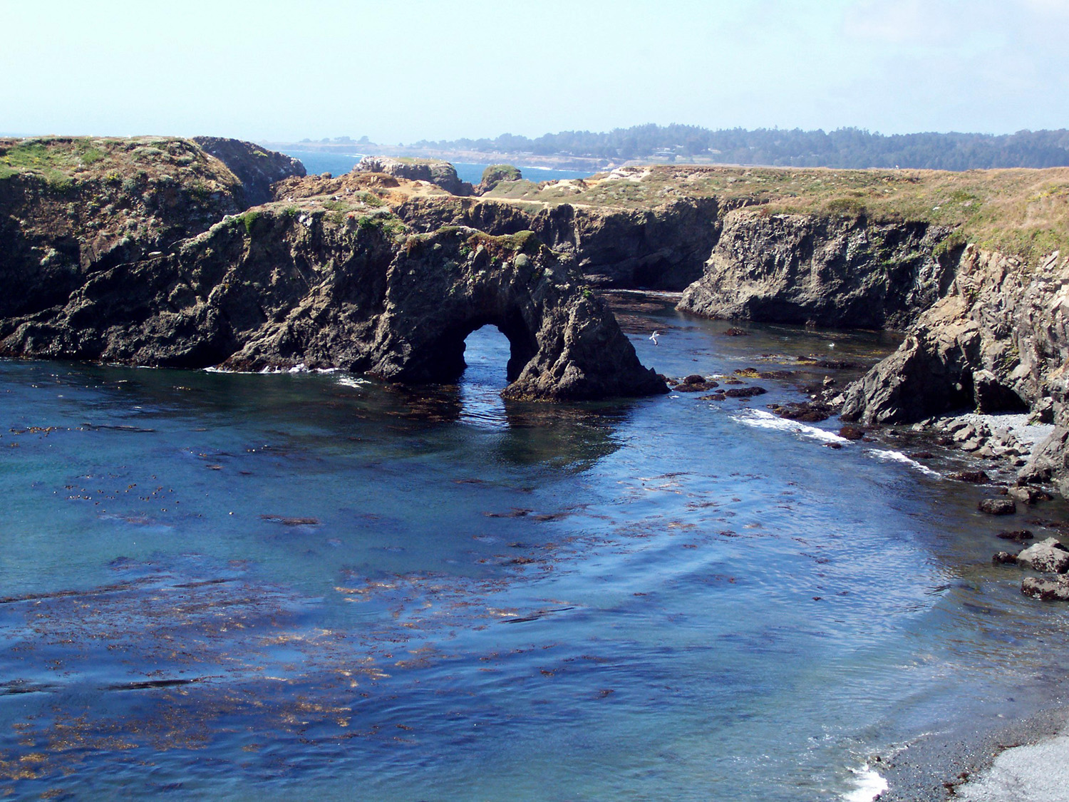
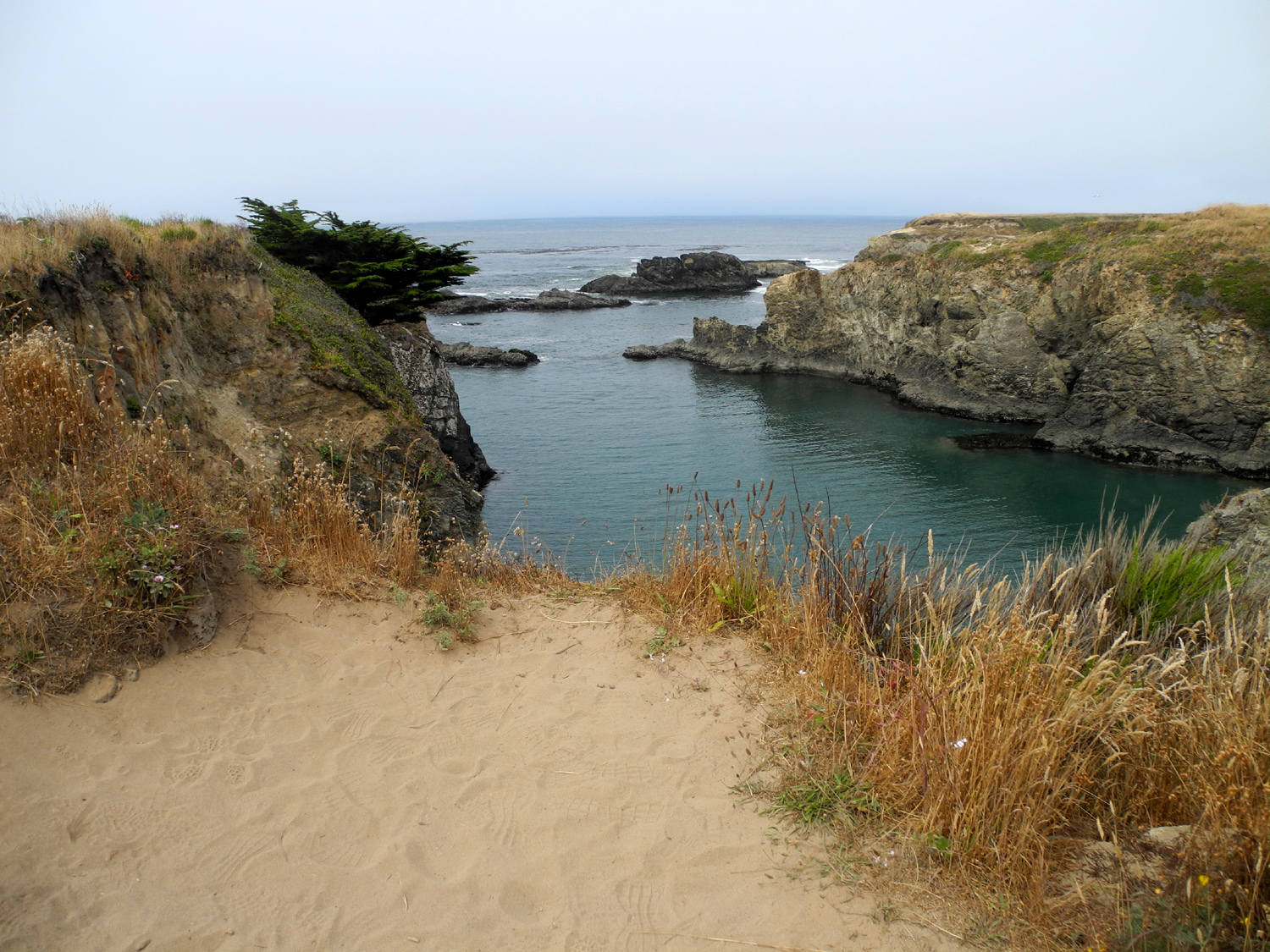
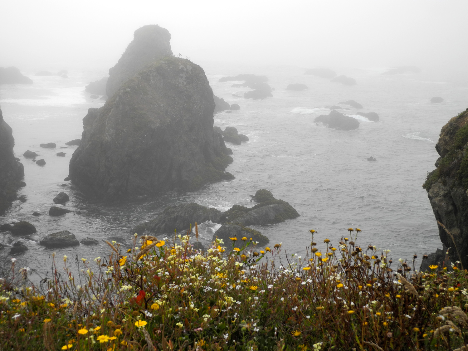
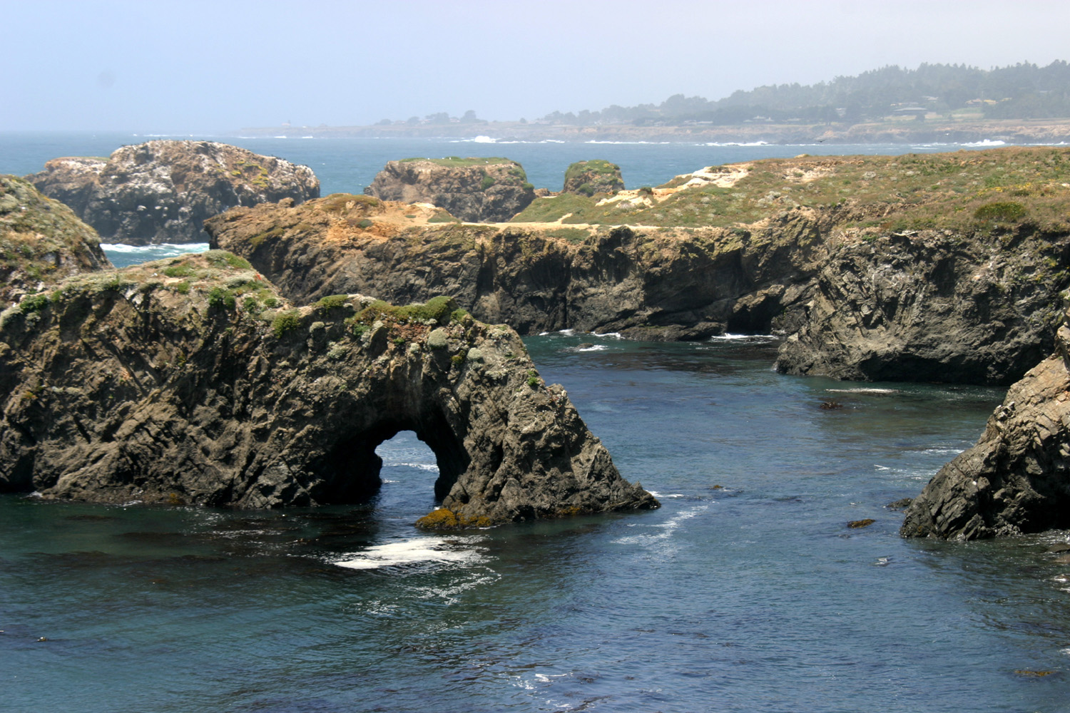 |
 |
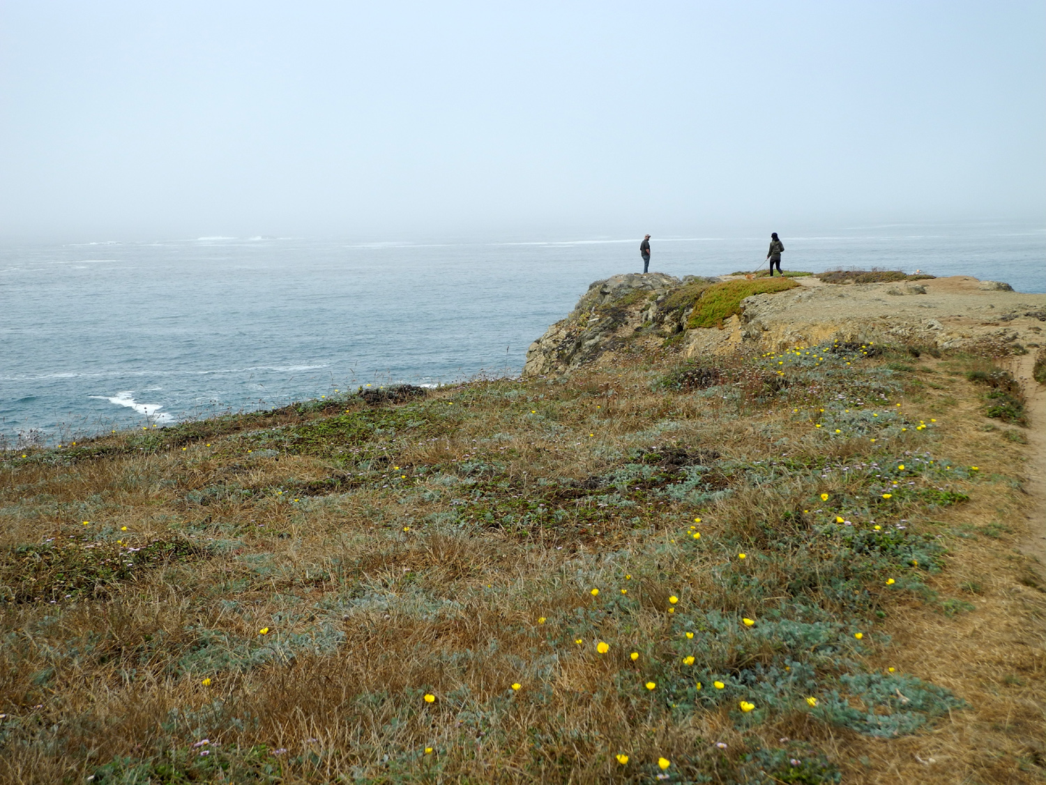
 |
 |
|
| Weather carved rock formations at Mendocino | Wave watchers on the bridge | Coast near Mendocino Village | Highway 1 bridge at Russian Gulch | |
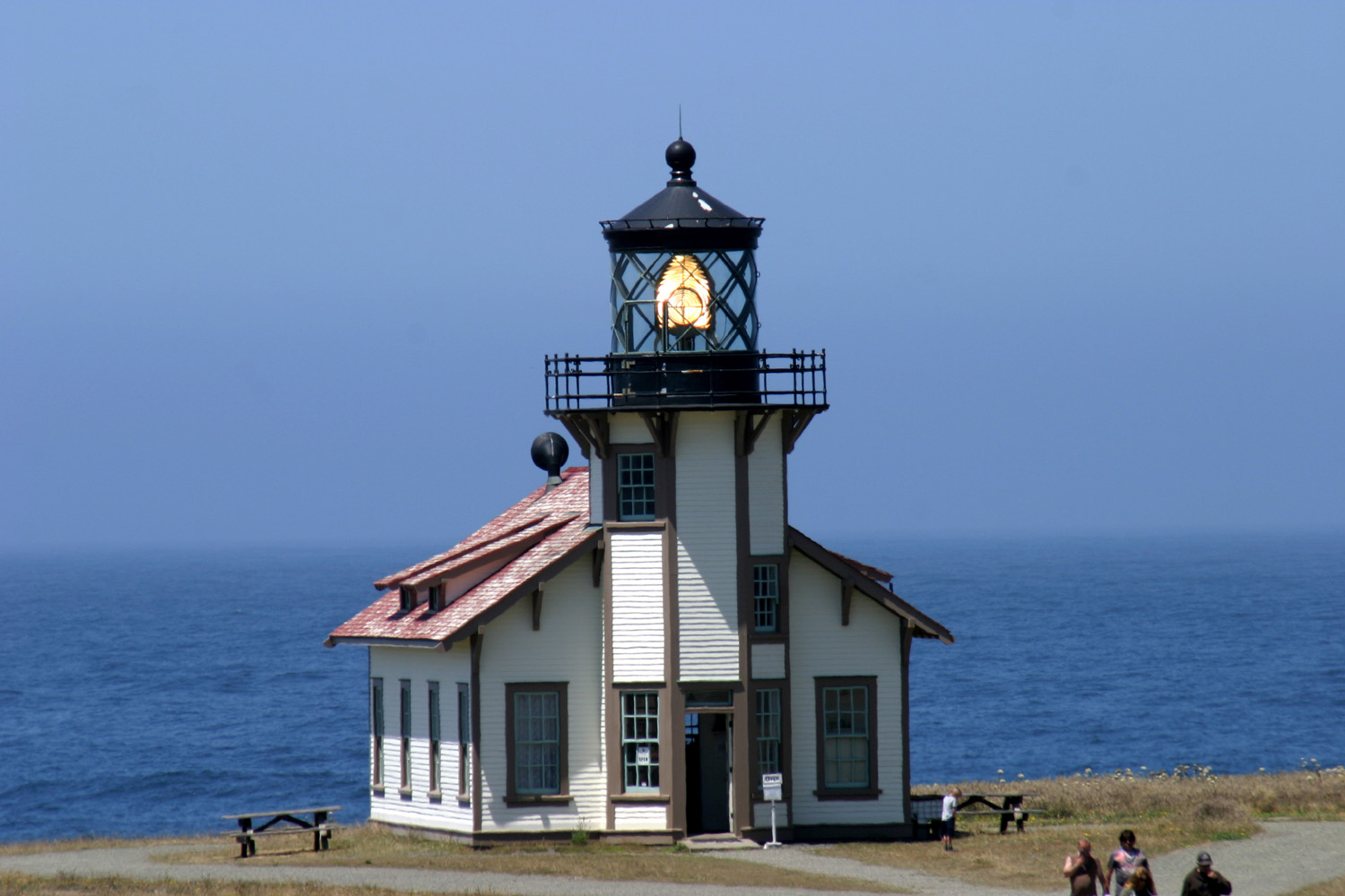 |
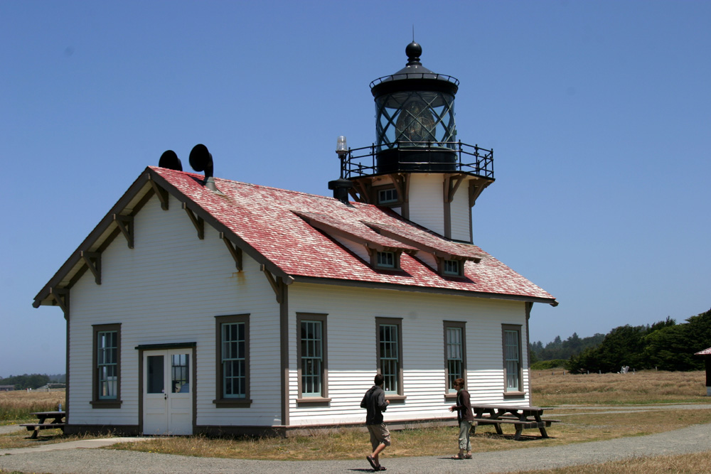 |
 |
 |
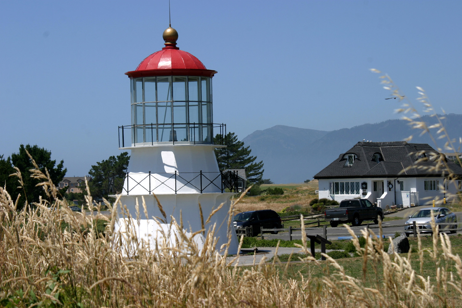
|
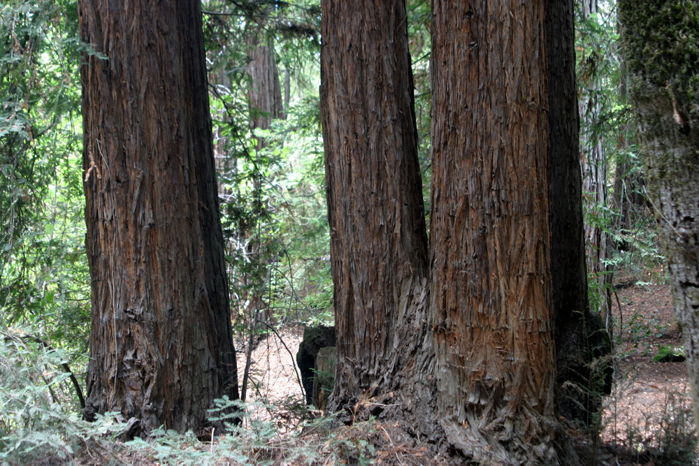
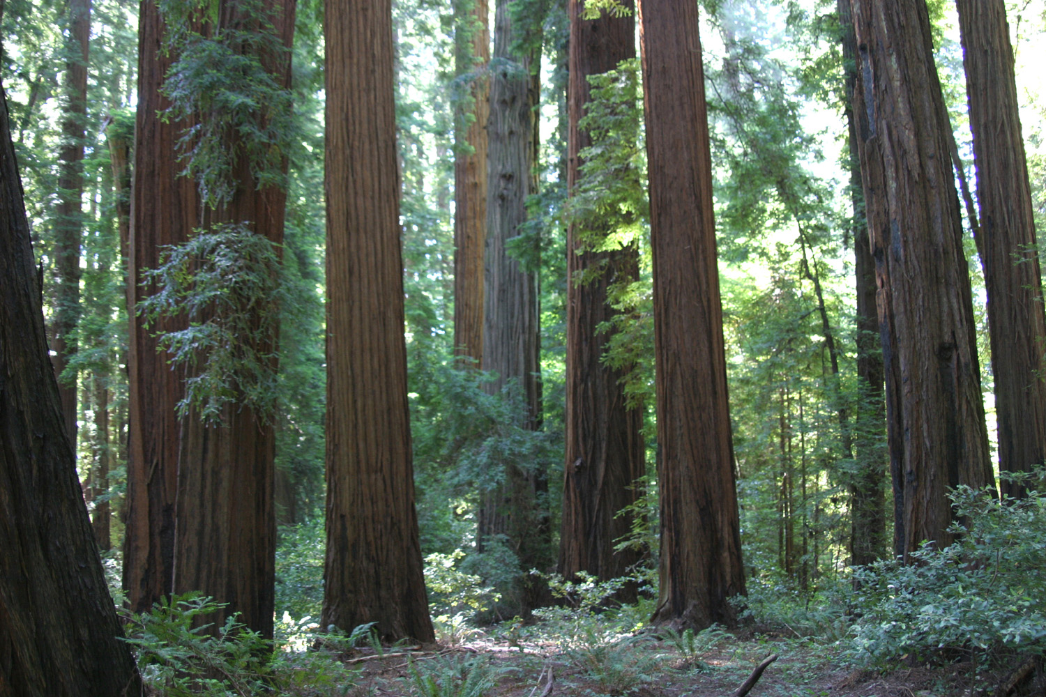
| Point Cabrillo Light Station | Another view | Eel River Valley | Redwoods in Richardson Grove Redwood State Park | |
 |
 |
 |
 |
|
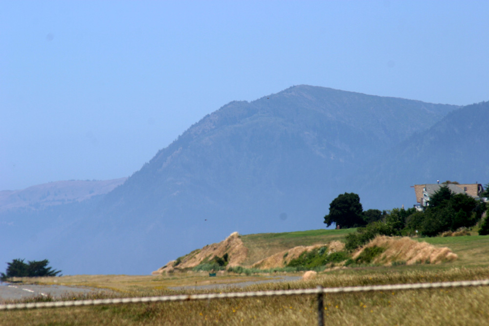
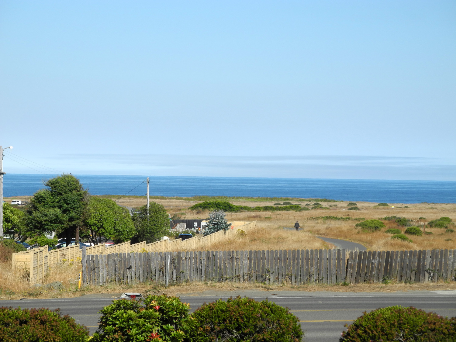
| High headland a few miles north of Shelter Cove | Cape Mendocino Lighthouse | Looking down toward Shelter Cove from the pass over the King Range | Northern California coast between Jenner and Mendocino | |
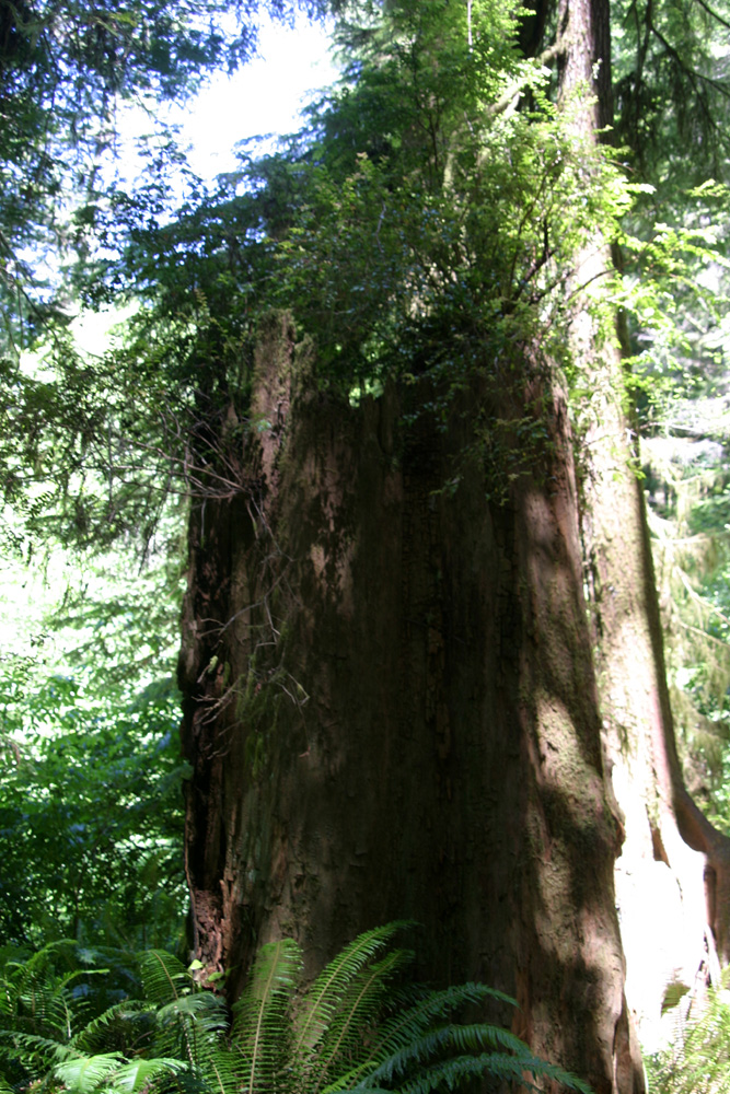 |
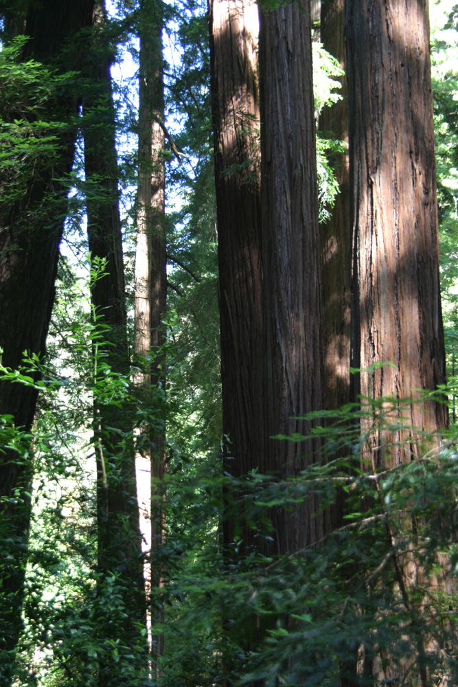 |
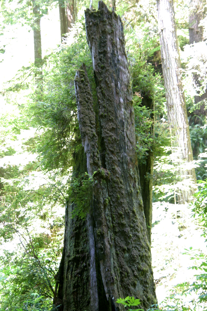 |
 |
|
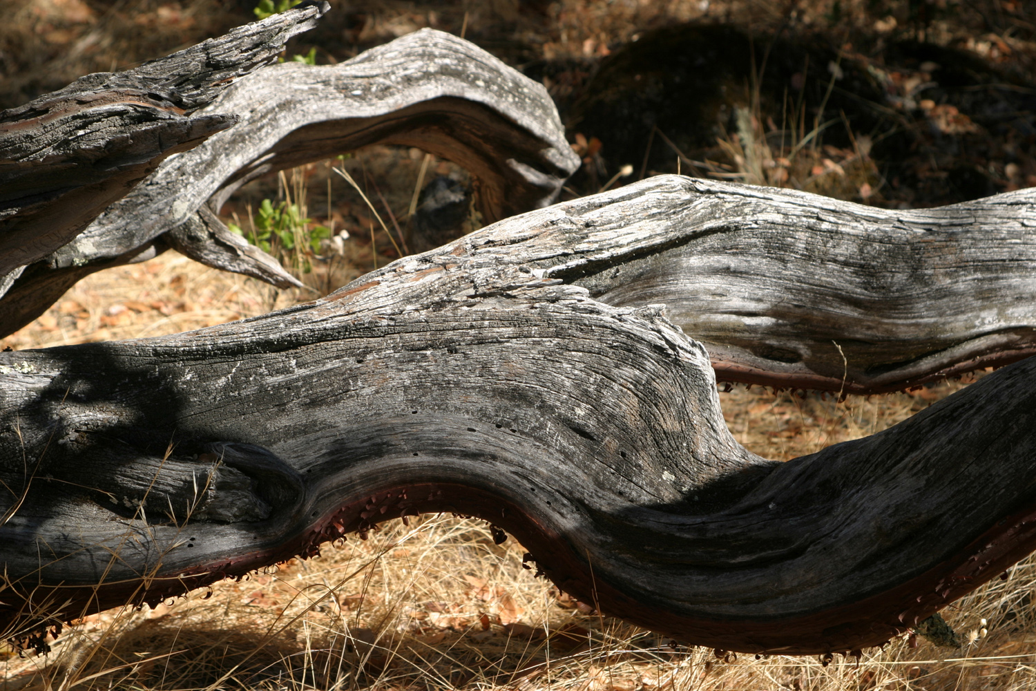
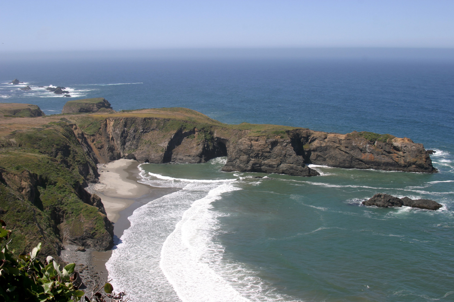
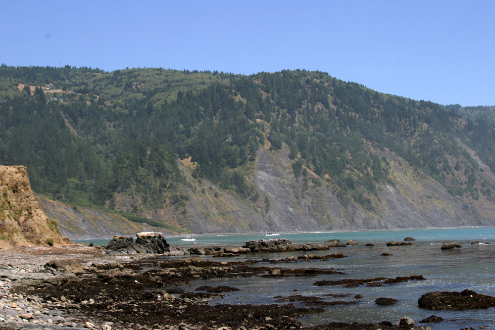
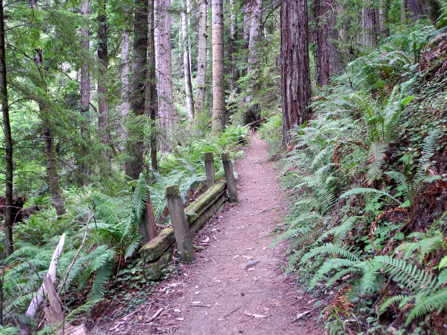
| New growth takes advantage of a dead stump | A stand of redwoods in Russian Gulch | Remains of a long-dead redwood | Shelter Cove on California's "lost coast" | |
 |
 |
 |
 |
|
| Scenes along the Mendocino County coast | ||||
 |
 |
 |
 |
|
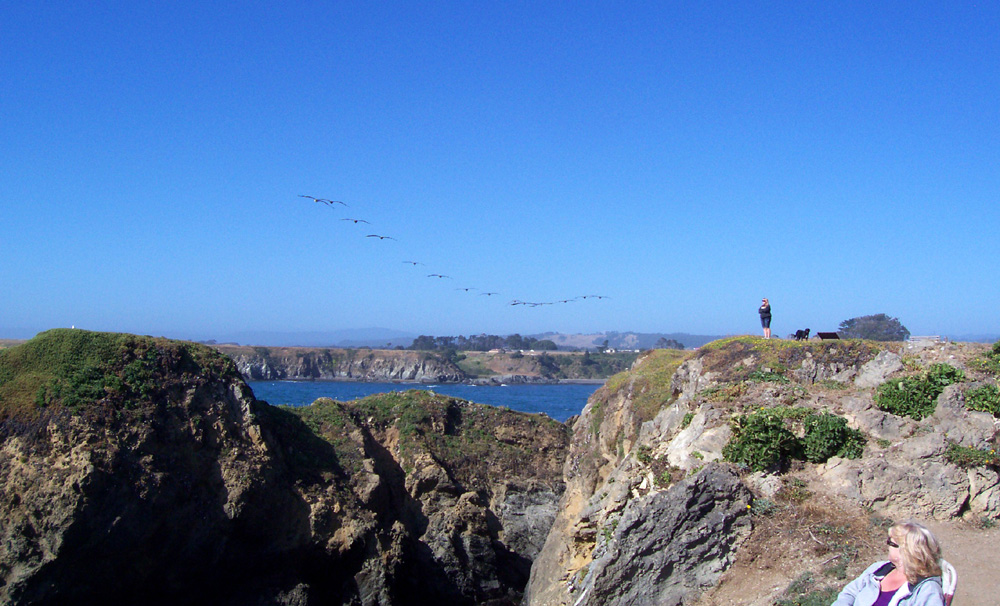
| Pelicans approaching over the bluffs |
|
Looking down at the ocean from the Lost Coast Trail in the King Range | North Trail in Russian Gulch STate Park | |
 |
||||
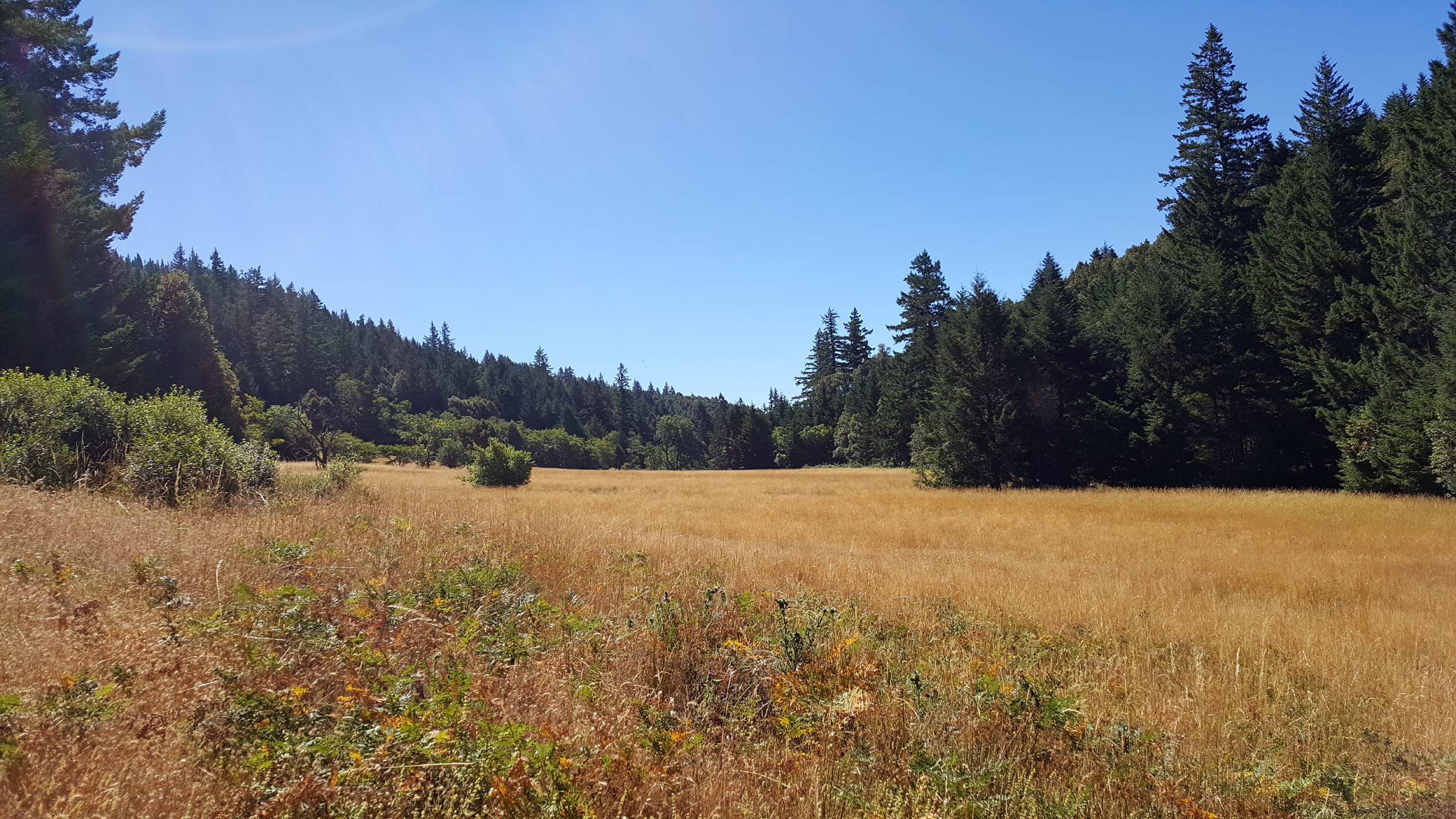
| Long meadow beside first part of the Lost Coast Trail in the King Range | ||||
 |
||||
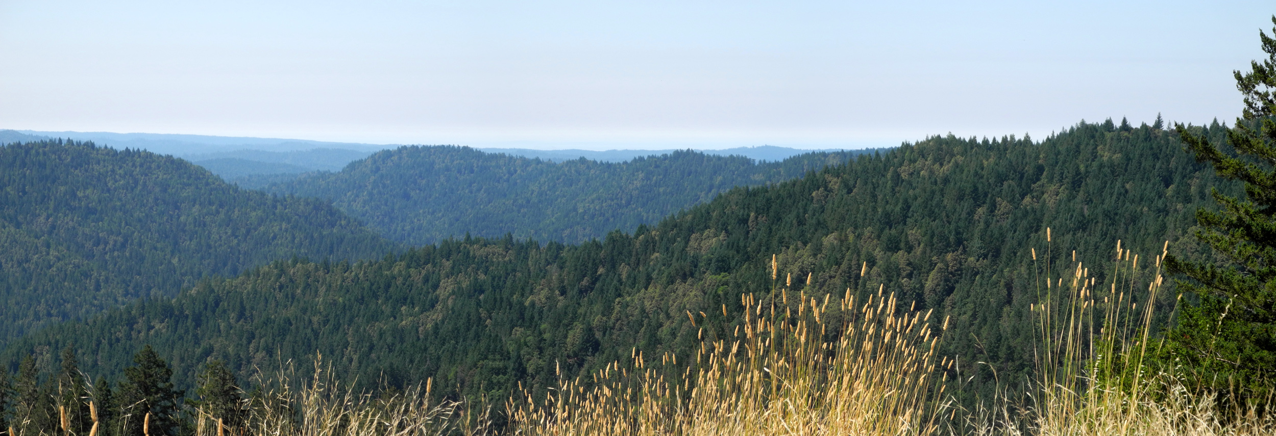
| Panoramic vista along Highway 20 | ||||
 |
 |
 |
 |
|
| Rocks and surf at Pomo Bluffs Park, Fort0 Bragg CA | In Mendocino Headlands State Park | Visitors enjoying the view | A misty view at Pomo Bluffs | |
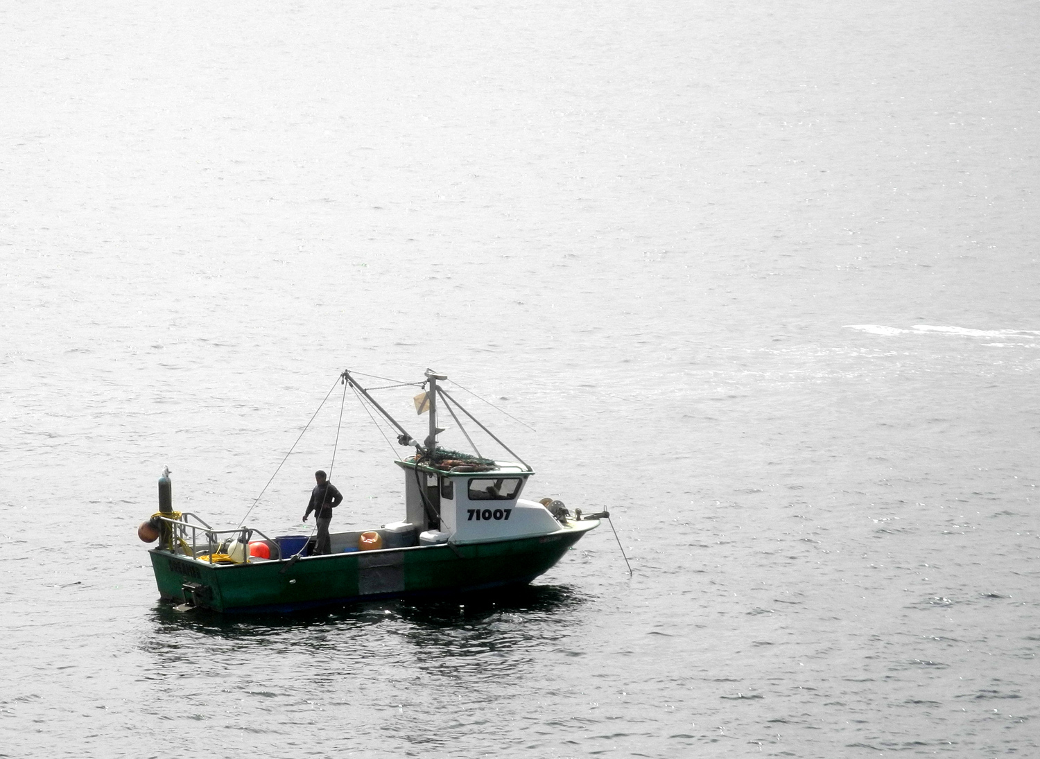 |
 |
 |
 |
|
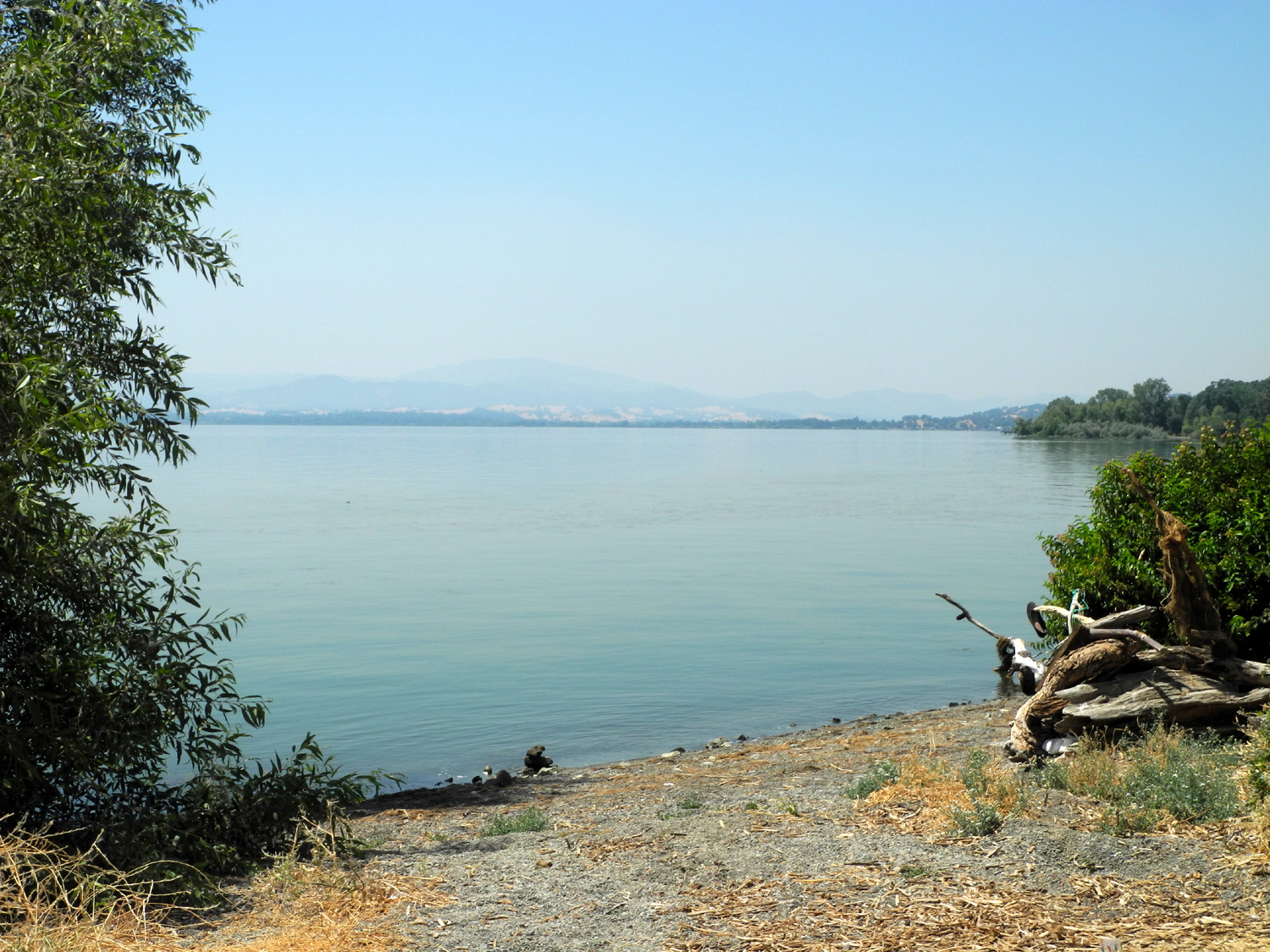
| Boat off Mendocino Headlands State Park | A sunny morning in Fort Bragg | Clear Lake, a large natural lake | Section of the Turtleback Nature Trail, China Camp State Park | |
 |
||||
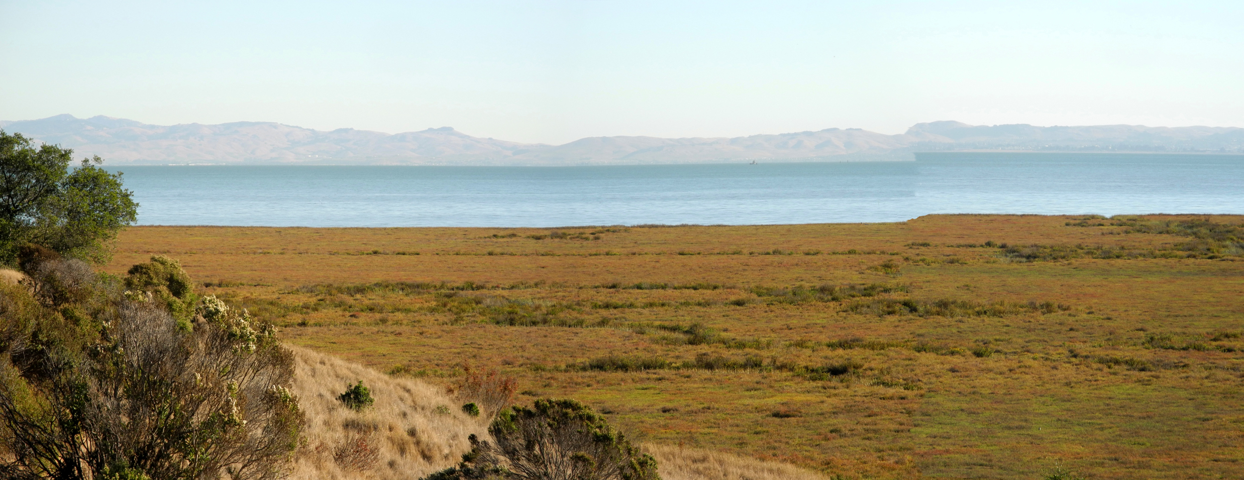
| Panoramic view of San Pablo Bay and the adjacent salt marsh | ||||
 |
||||
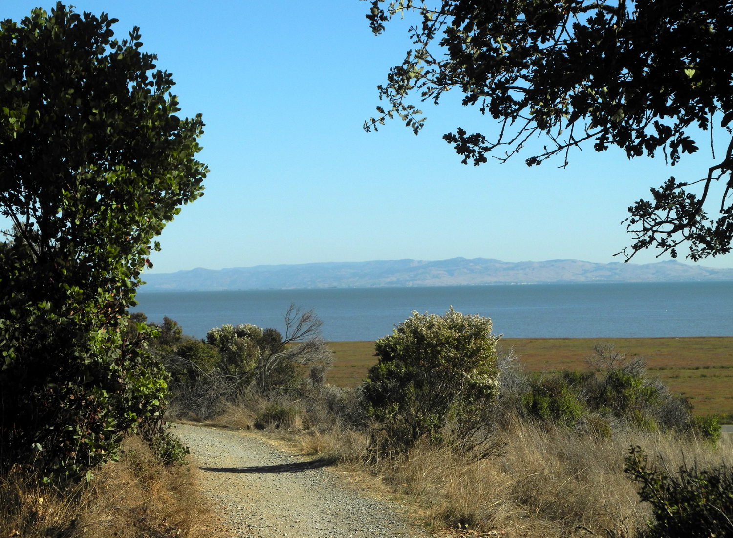
| View of San Pablo Bay from the Shoreline Trail in China Camp State Park | ||||

